Rae North
August 13, 2020
Mountain height: 2866 m
Elevation gain: 900
m
Round-trip time: 6:30
Solo scramble.
Another trip that I should have enjoyed more
than I actually did and all because I chose to complete the ascent on an
overcast day.
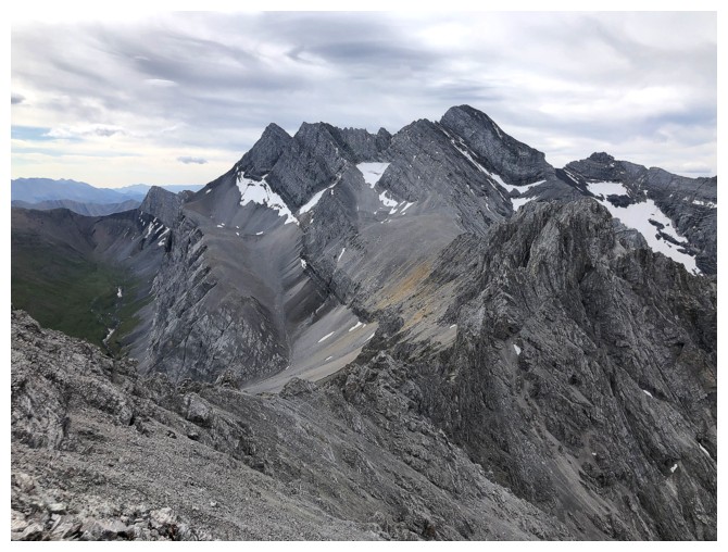 Salivating over my new copy of David Jones’ latest guidebook
in his terrific series that covers an epic number of mountains and routes in
the Canadian Rockies, I found this peak immediately (p.111 - the middle peak). Having not been to the
Elbow Lake area in several years, this route up an unnamed, northern outlier of
Mount Rae had great appeal.
The trip unfolded exactly as described by
Jones: short hike to Elbow Lake, continue for about a kilometre past the lake,
turn east and follow a prominent avalanche path up to the ridge, then follow that ridge to the
summit. Some moderate scrambling was required near the summit but nothing too
demanding.
The only knock on this mountain (not really a
knock; just an irritating expression of my ridiculous obsession with the
colourful rock of southern Alberta) is the uniform greyness of the rock
throughout the ascent. Combined with an essentially uniform white sky I found
the experience unremarkably similar to a disappointing visit to The Promised
Land and Andy Good Peak in 2019. The summit view was very good but would have been outstanding
without the clouds.
I could see that clearer skies were heading my way. However, I lacked
the fortitude to sit at the summit for several hours, waiting for them
to arrive. Instead, I settled for a short summit break, then a
sometimes slow and tedious, rubbly descent back to the trail.
Obviously the hike out was dead easy.
It’s unlikely I would repeat this trip, but I’ll
definitely wait for perfect weather before doing another ascent in the beautiful
Elbow Lake area.
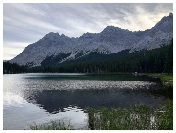
Elbow Lake. Rae North is just right of centre.
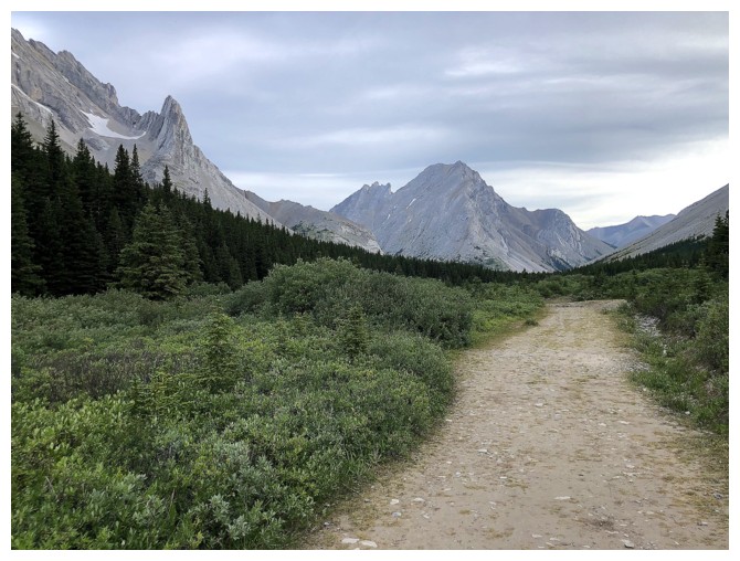
Hiking past the lake. Tombstone Mountain (North and South) are straight ahead and the distinctive peak at the left is Elpoca Tower.
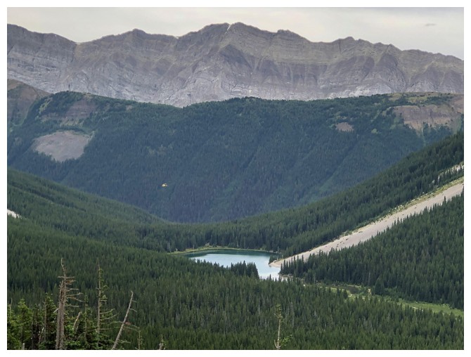
Looking down on Elbow Lake from the ascent route up Rae North
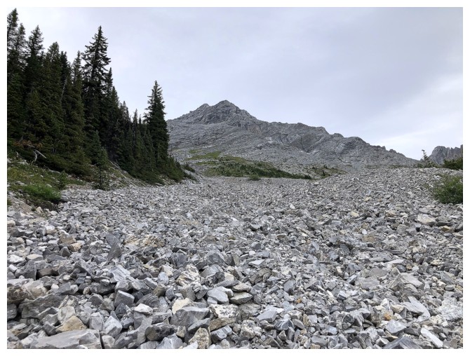
Typical terrain on the lower part of the mountain
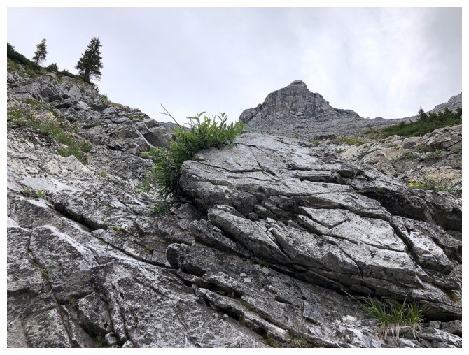
More interesting terrain is encountered as elevation is gained
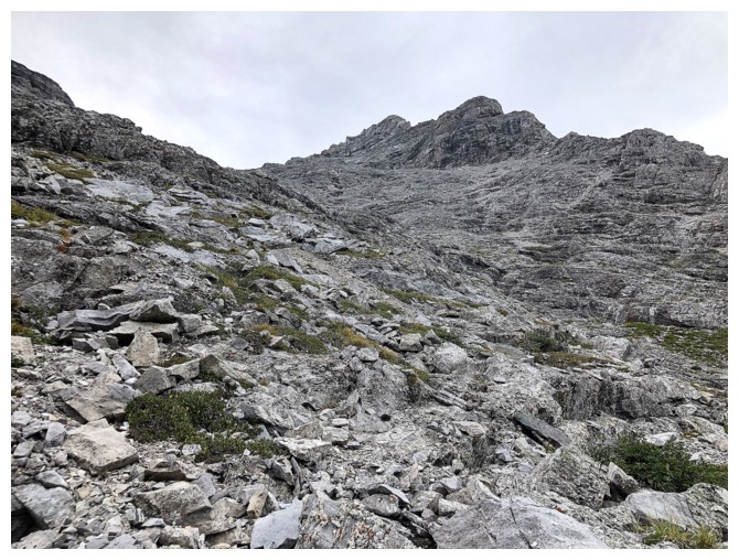
Uniform grey and uniform white - not the best combination. Strangely, uniform grey with uniform blue is stunning!
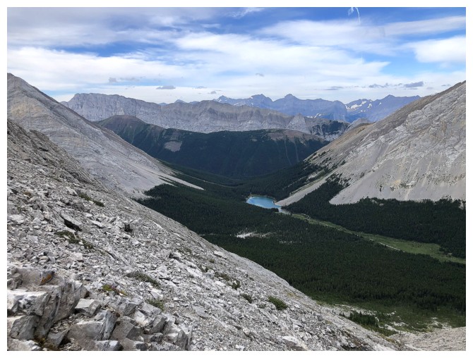
Elbow Lake looking much smaller
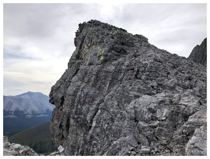
On the ridge
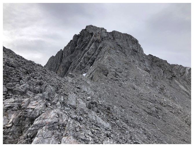
Turning south towards the summit
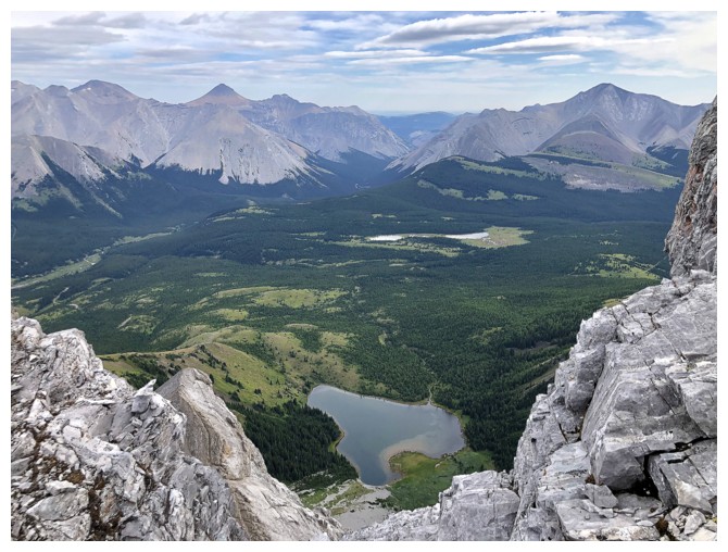
Rae Lake on the east side of the ridge. Banded Peak (left) and Cougar Mountain (right) in the distance.
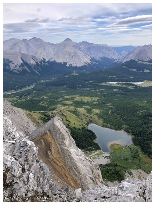
A strip of different coloured rock - nice!
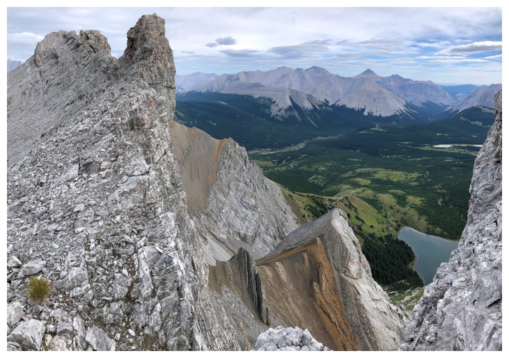
Gonna milk this for awhile!
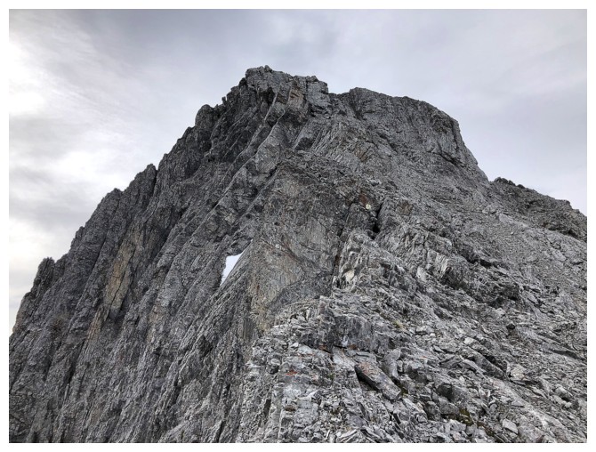
The terrain gets steep near the summit and route-finding is required
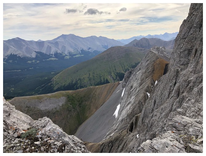
The view to the southeast includes the very long massif of Mount Burns
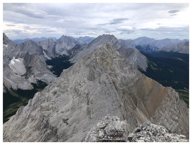
At the summit. North view.
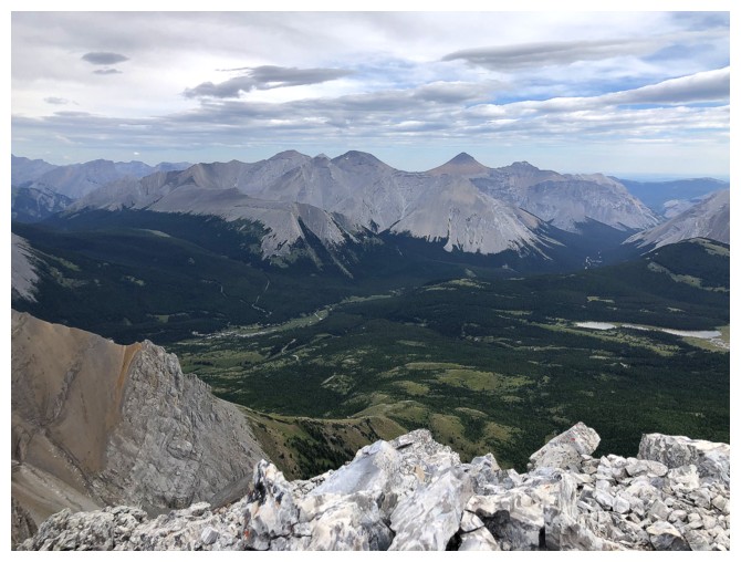
Northeast

West
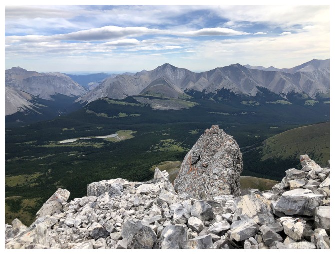
Cougar again
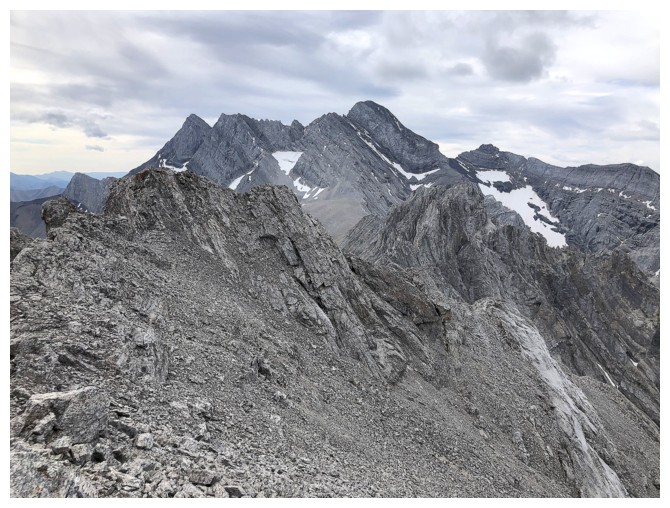
The true and much higher summit of Mount Rae to the south
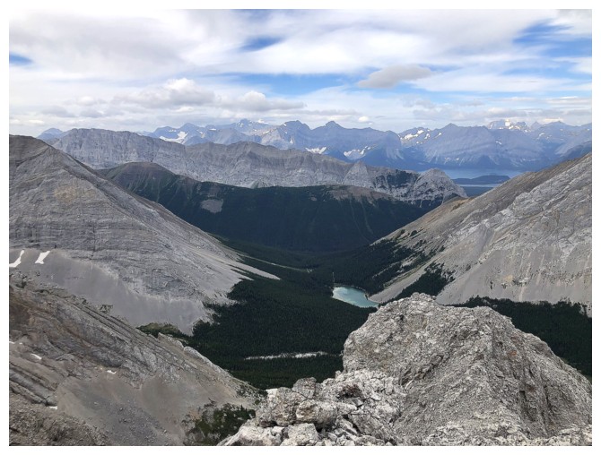
Southwest
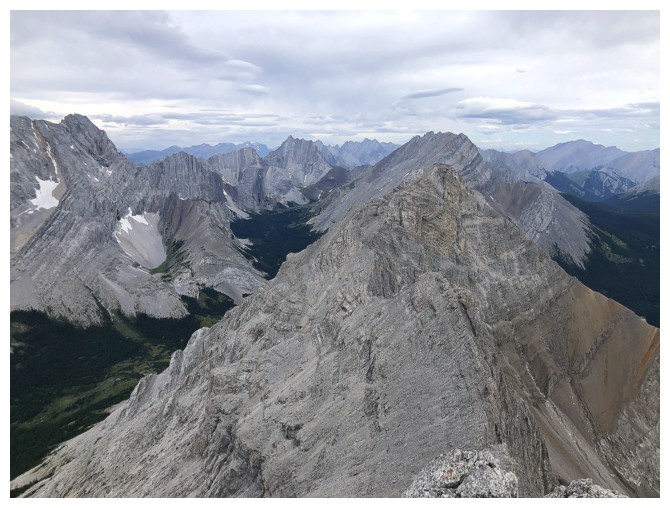
Northwest
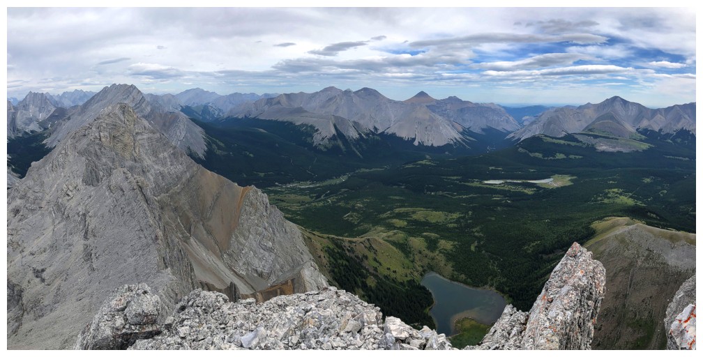
Pano
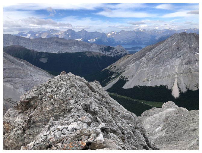
Clearer skies to the west but they are a long way from reaching me
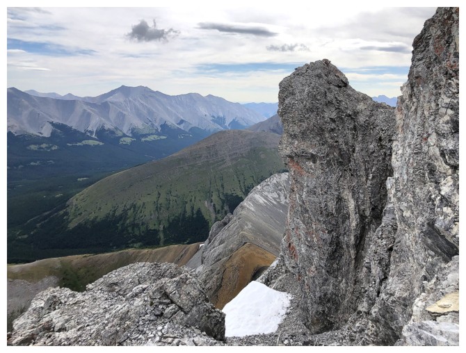
The east side of the peak is impressively steep with lots of interesting pinnacles
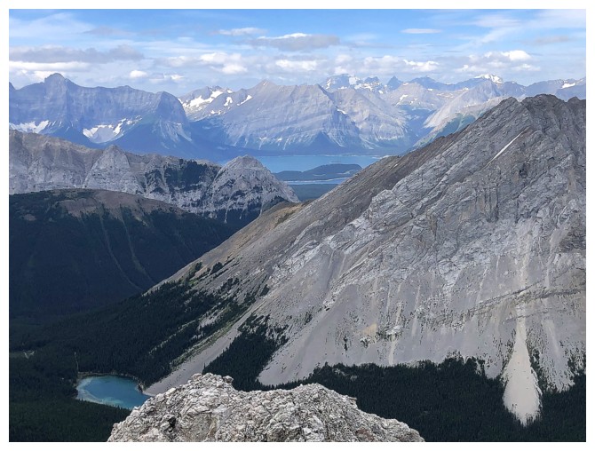
This view to the southwest would be fantastic on a clear day
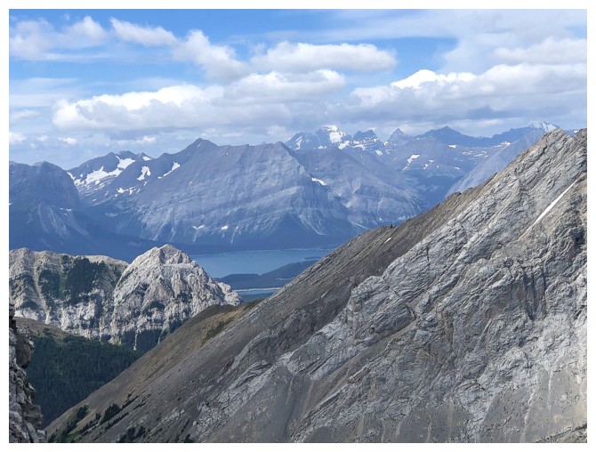
Mount King George is the huge peak in the distance
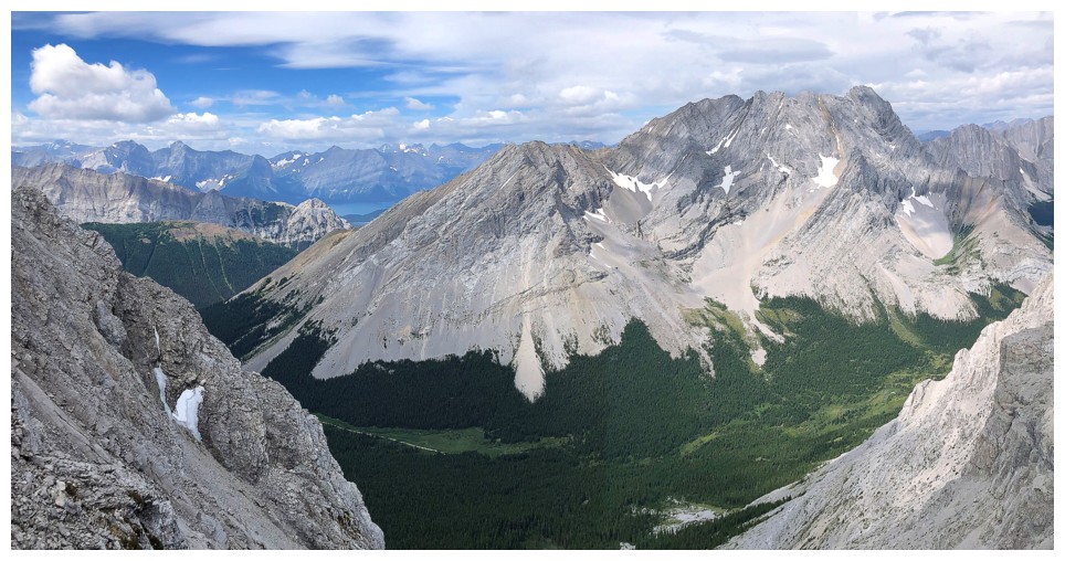
Elpoca Mountain - two very memorable trips, 24 hours apart, on that one
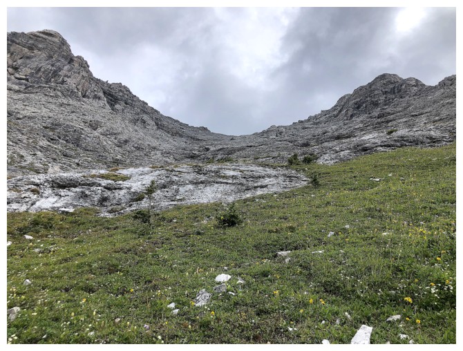
Descending
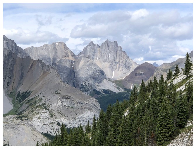
Appropriately named Cat's Ears in the centre and Mount Schlee to the left (the weather for the ascent was atrocious)
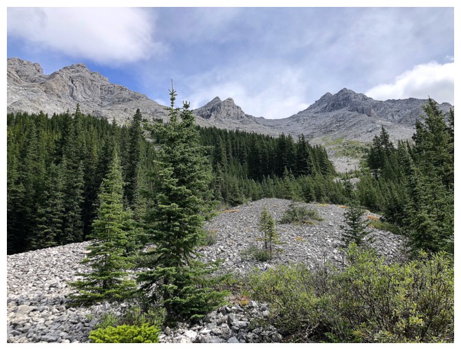
Looking back at the ascent route
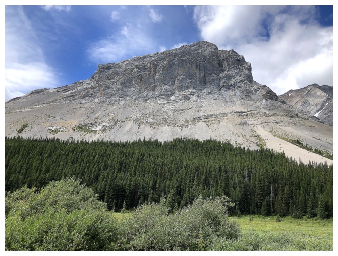
The south end of Elpoca Mountain
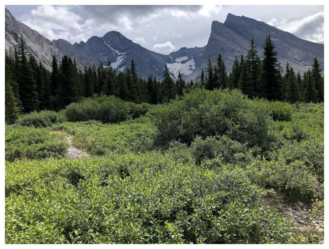
The stubborn Rae Glacier continues to hang onto life
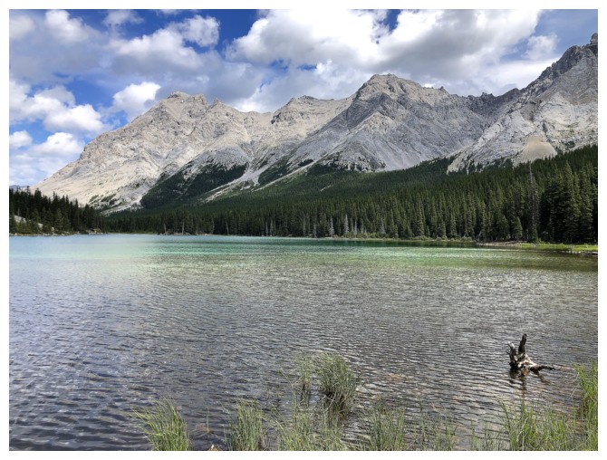
Back at Elbow Lake. The lake and Rae North already look much better with some Sun on them.
The End
LOG