November 11, 2025
Mountain height: 2420 m
Elevation gain: 870 m
Ascent time: 3:20
Descent time: 2:15
Solo scramble.
 Ruby Ridge (and
its innumerable ascent routes) has quietly become a favourite shoulder-season trip.
Ruby Ridge (and
its innumerable ascent routes) has quietly become a favourite shoulder-season trip.
With cloudy
skies prevailing, I decided to follow a similar route to that of my 2022 ascent. Almost needless to say, that plan was abandoned immediately.
Instead of staying on the right side of the ascent drainage, I opted for the
left. This eventually put me on a ridge I had yet to ascend. The ridge appeared
to lead directly to the east summit of Ruby.
That generally
turned out to be the case, however, upon arriving at a highpoint, I decided I
wanted to be on another ridge slightly to the east. 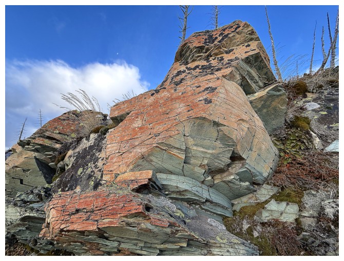 Getting to that one
required an elevation loss, but now I was in another drainage that was quite
the scenic ride in itself.
Getting to that one
required an elevation loss, but now I was in another drainage that was quite
the scenic ride in itself.
After following
that drainage for a short distance I veered right and up, towards the ridge I intended
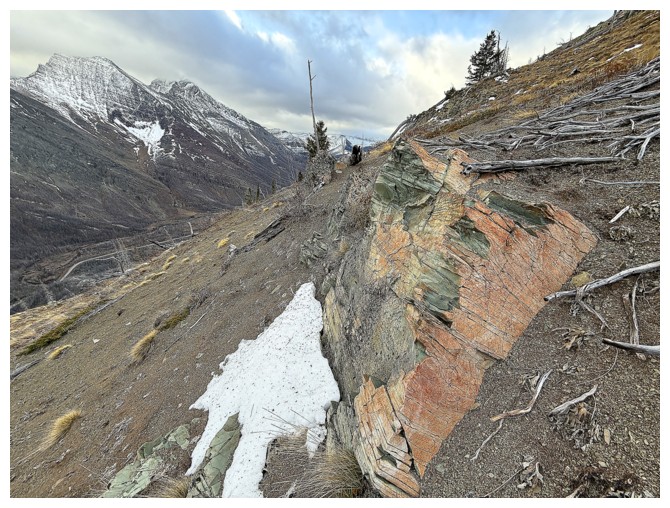
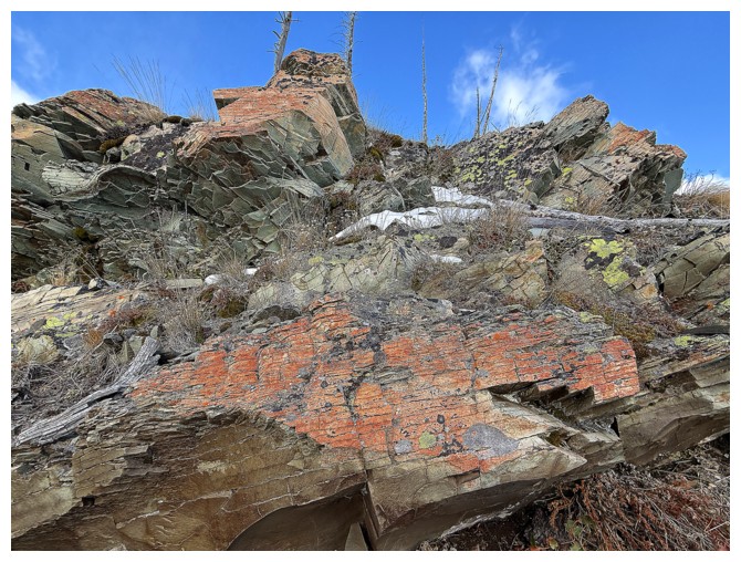
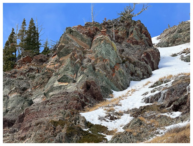
to ascend. There, I was not only greeted by a few super colourful rock bands,
but also classic Waterton gale-force winds. This turned into more of a blessing
than a hindrance. Instead of battling the wind on the ridge to the top, I
ducked behind the rock band running across the wind-sheltered east face. What
followed was a tour-de-force of stunning rock, a little snow, a little ice, and
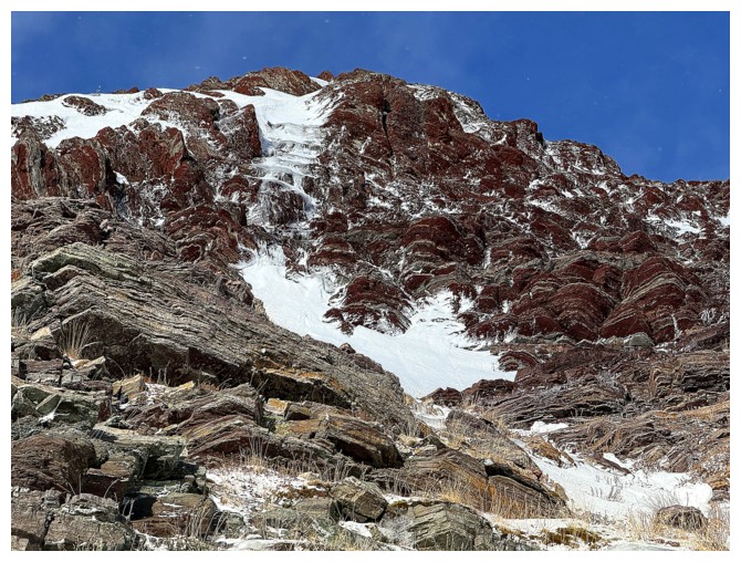
all under an unexpectedly near perfect blue sky. 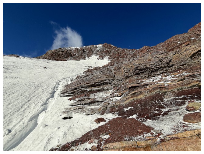 Higher up the “best red argillite show” in
town slowed my progress to a crawl – but what a rewarding crawl it was! Thankfully,
this entire area was completely wind-free, but things were about to change.
Higher up the “best red argillite show” in
town slowed my progress to a crawl – but what a rewarding crawl it was! Thankfully,
this entire area was completely wind-free, but things were about to change.
As soon as I
popped up from behind the shelter of the rock, the wind wreaked murderous havoc
on me! I battled my way to the summit, took a few photos, hid behind a rock
band for a few minutes and then high-tailed it down the ridge I avoided on
ascent. Thankfully, travel down this ridge was generally easy and very fast.
The headwind (pushing me back up the mountain) actually allowed me to run down
the slope with a refreshing degree of reckless abandon.
Back at the intersection
where I veered off behind the rock band on ascent, I decided to try an
alternate descent route that (if successful) would lead me down to the drainage
I started up, but on the other side. It worked like a charm, of course
featuring a new round of beautiful rock and then a ton of opportunities for
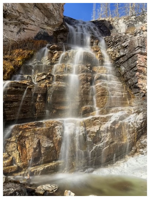
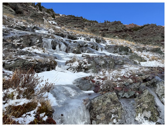
long-exposure photos when the waterworks started.
Yet another
amazing day and another new route on a Waterton favourite – hopefully not my
last Rodeo on Ruby!
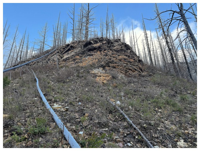
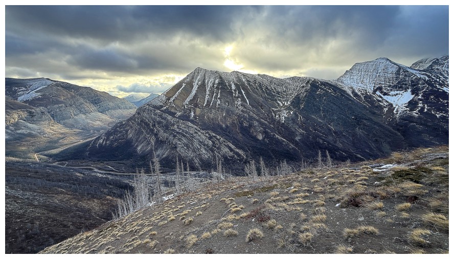
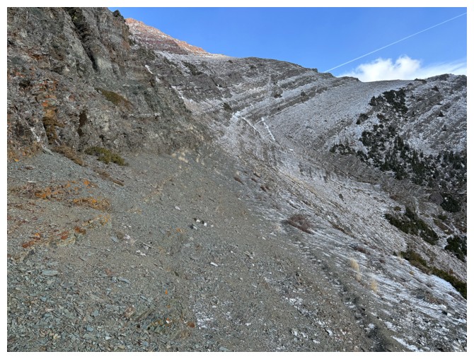
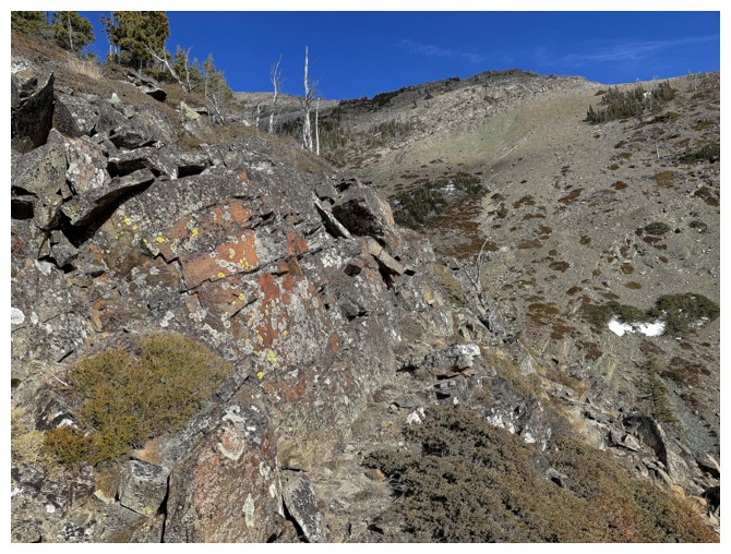
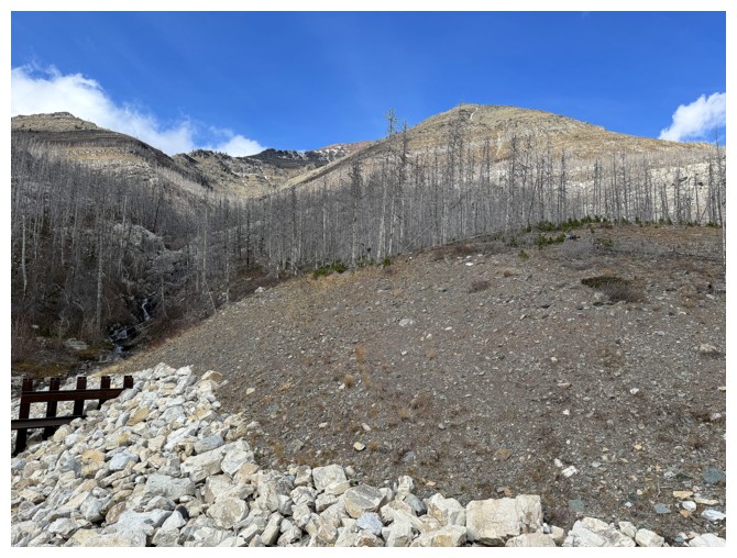
At the start. The plan was to go to the right, but I ended up left.
No snow and no ice - surprising for November
Not that I'm complaining!
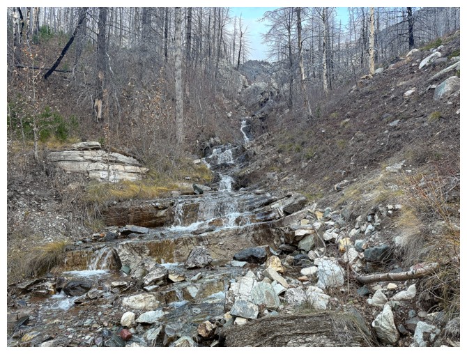
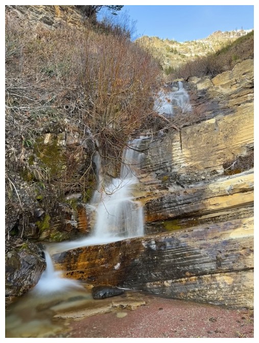
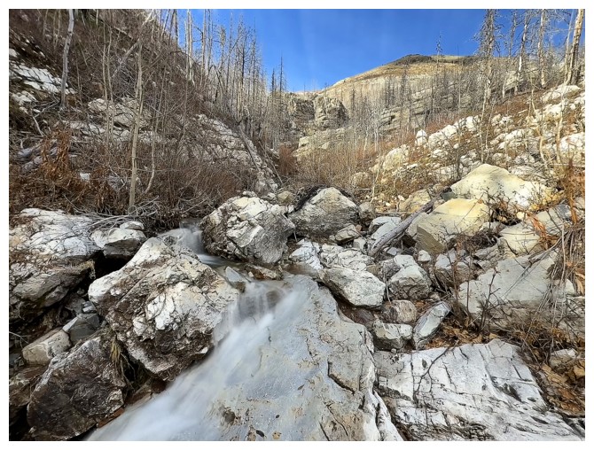
Taking in some water scenery before leaving the creek
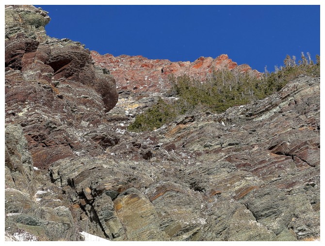
Now on the ridge above the left side of the creek, looking to the right side
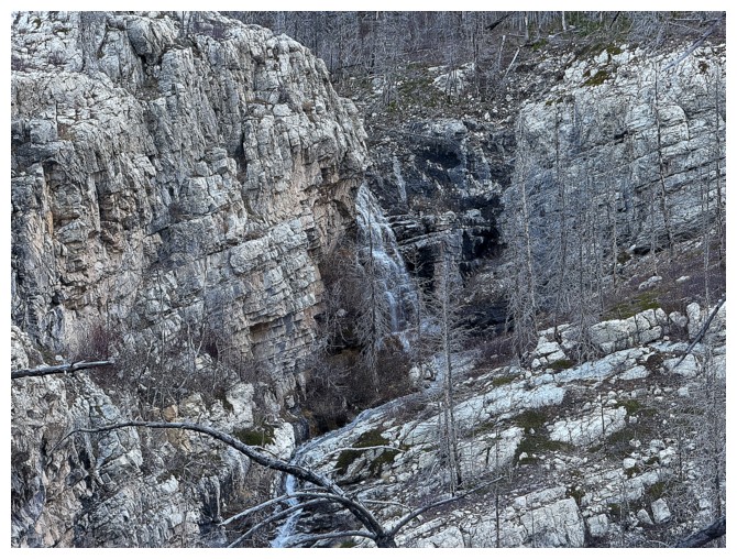
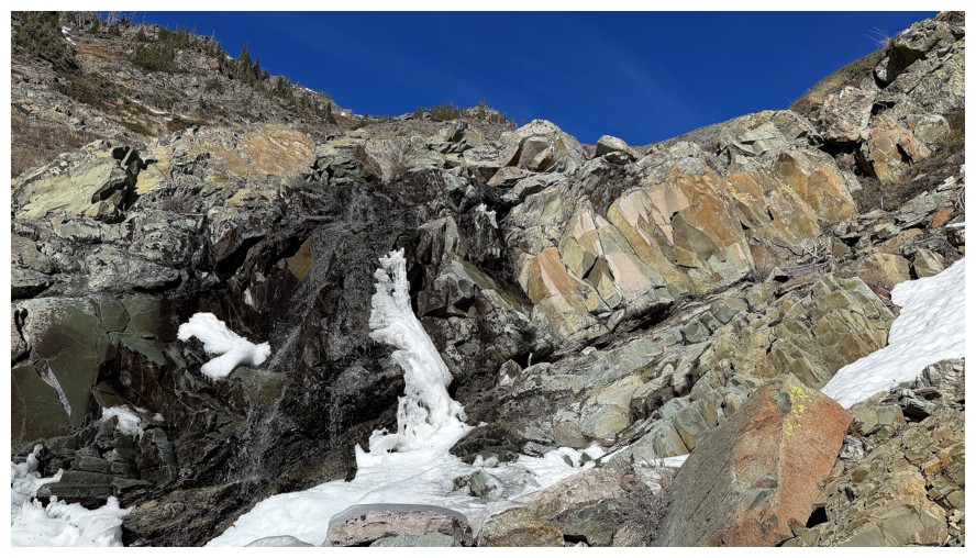
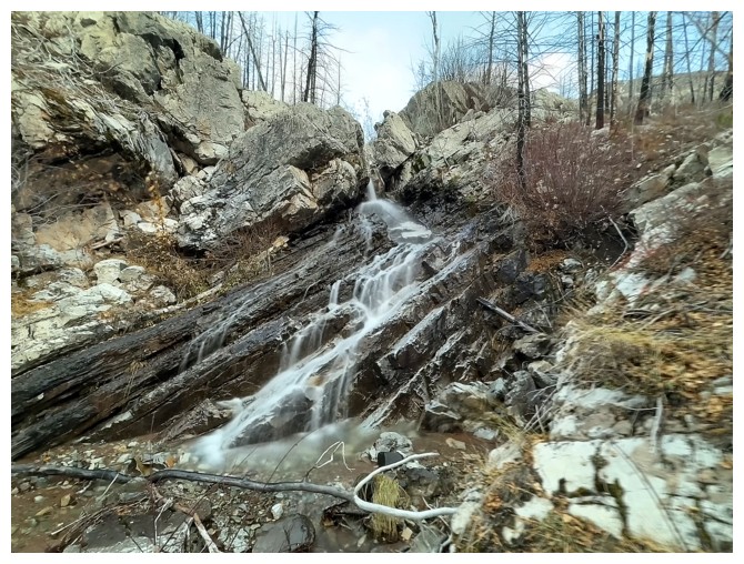
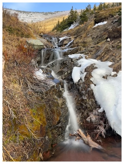
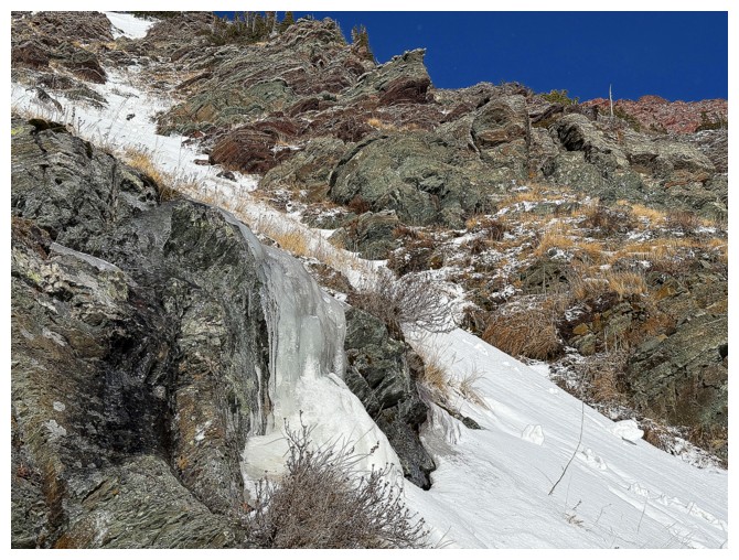
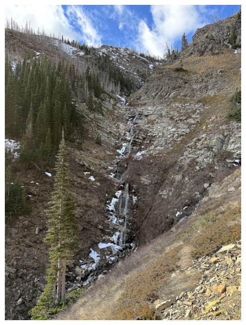
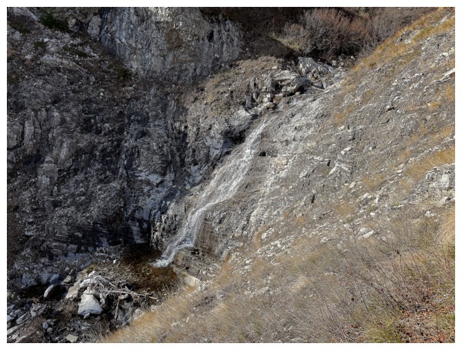
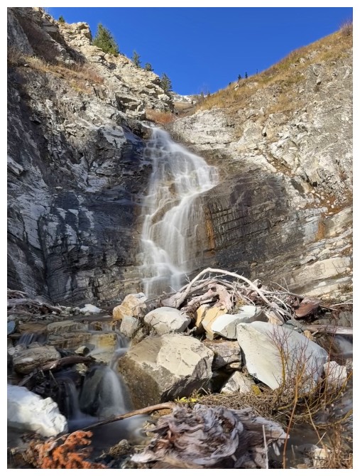
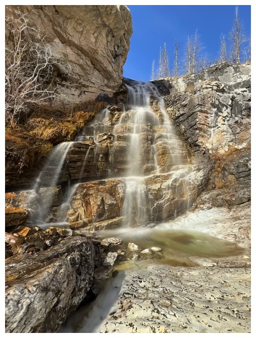
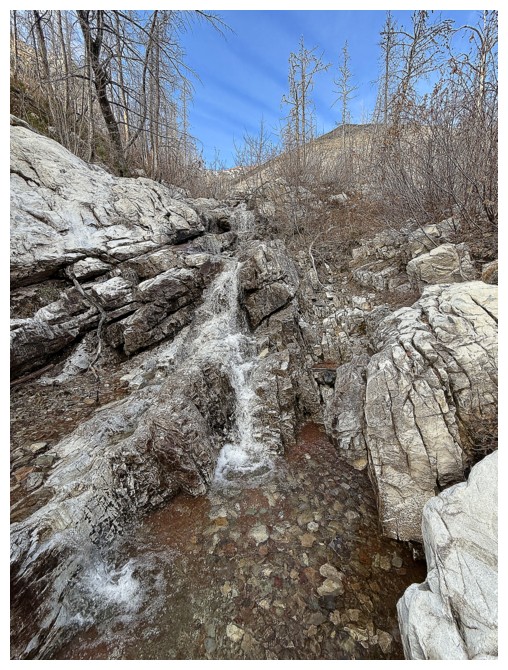
This waterfall was fully frozen the last time I saw it in late October 2023
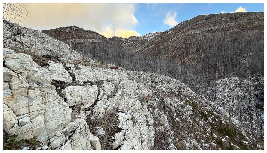
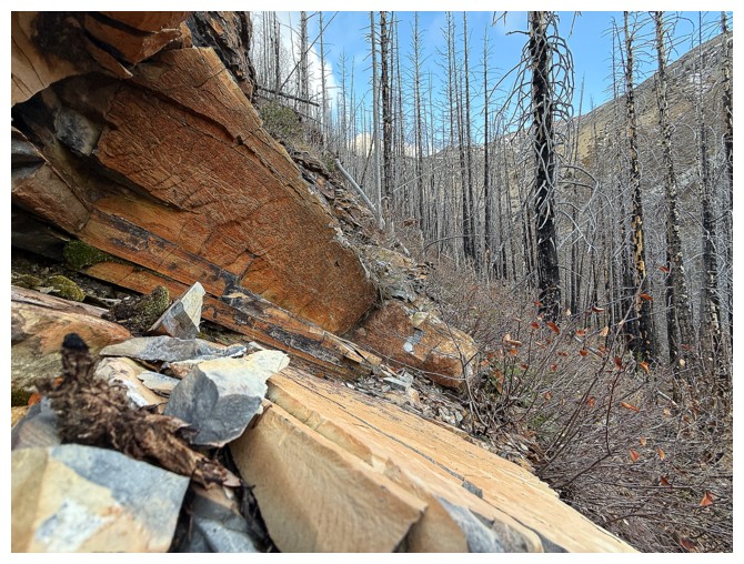
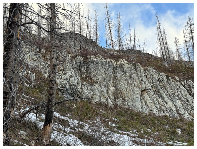
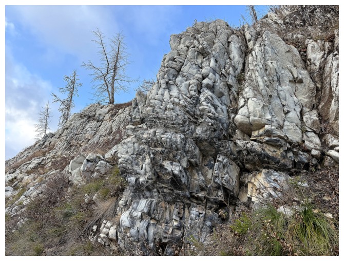
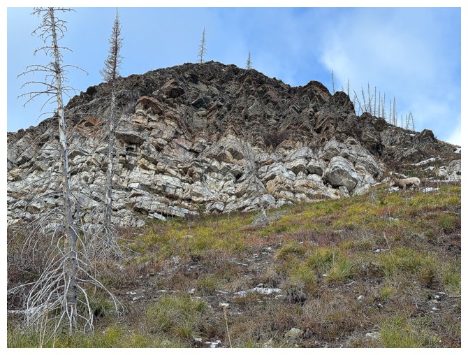
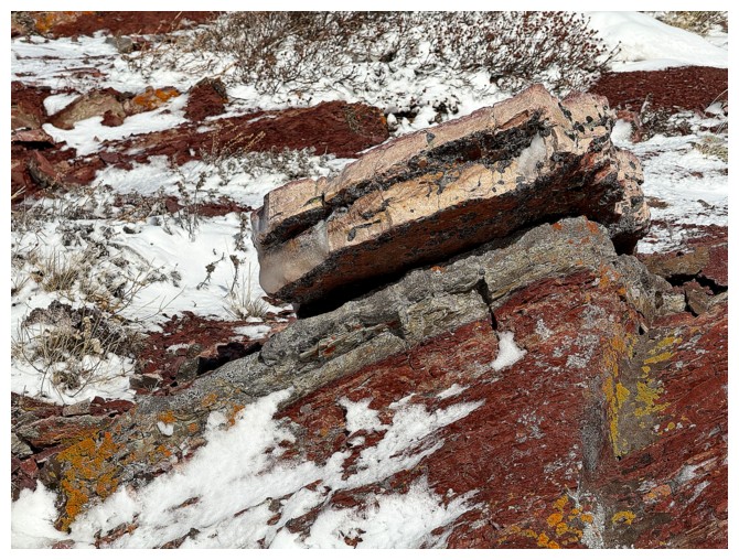
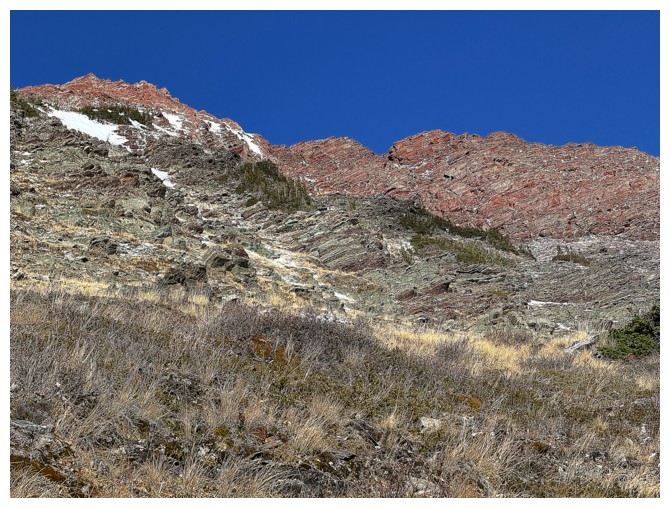
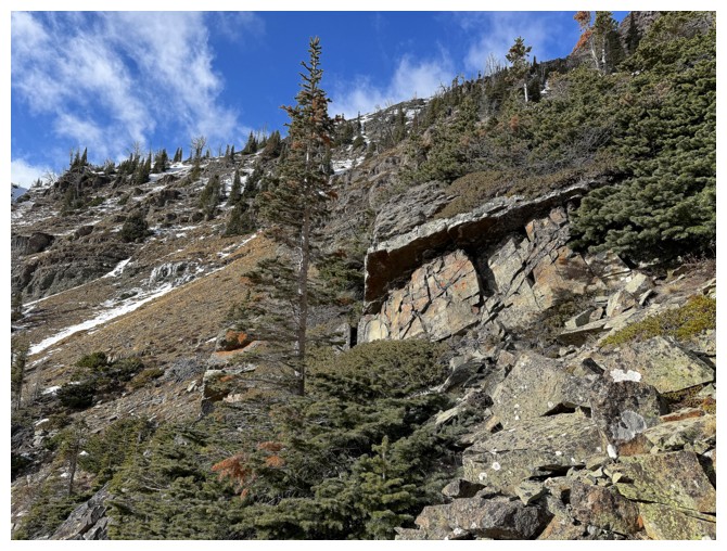
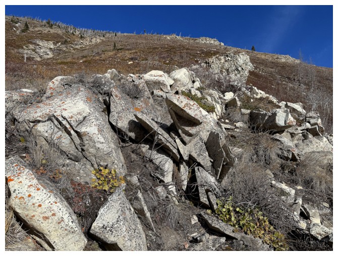
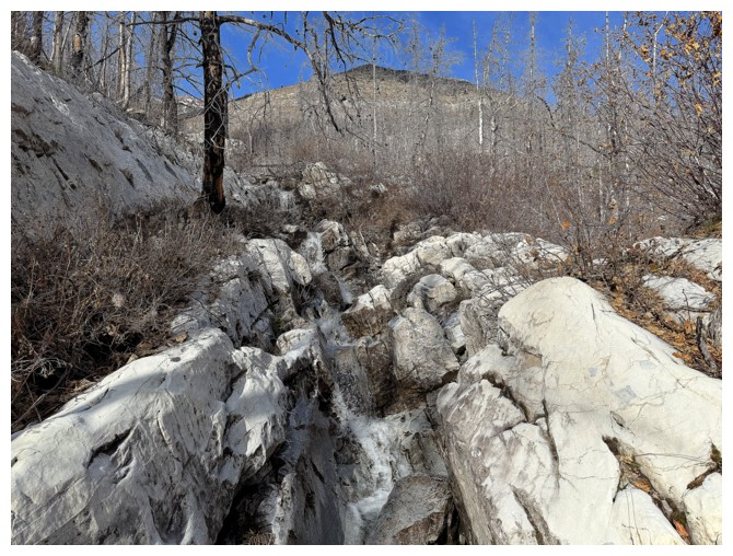
The solid white rock (dolostone, I think) is a cool feature of the lower slopes
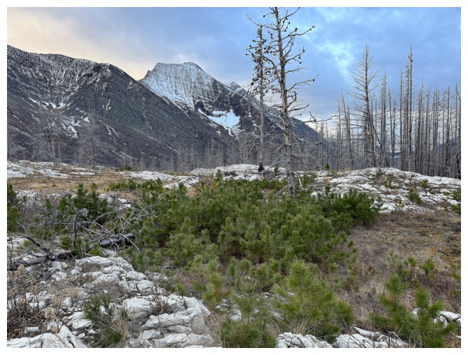
New growth and The Senator
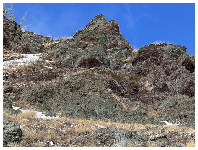
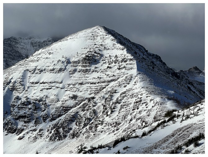
Buchanan Northeast
That could be interesting
 Yes it is!
Buchanan NE again
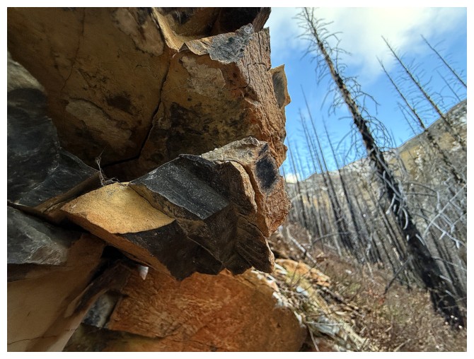
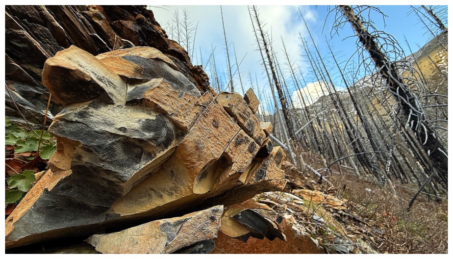
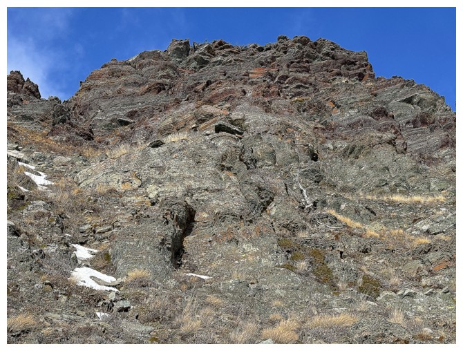
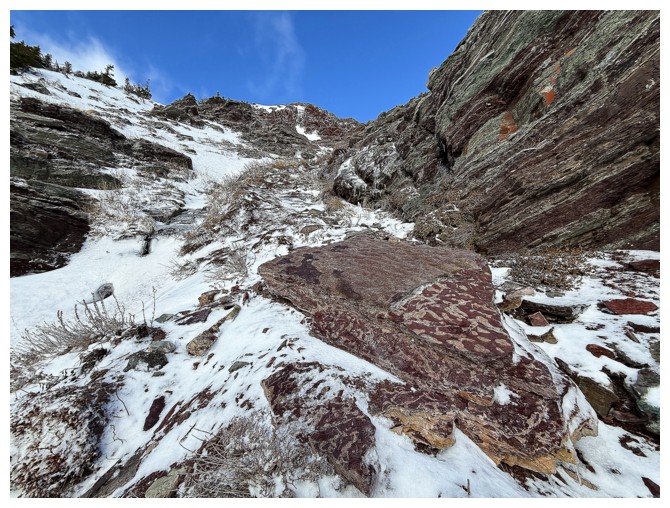
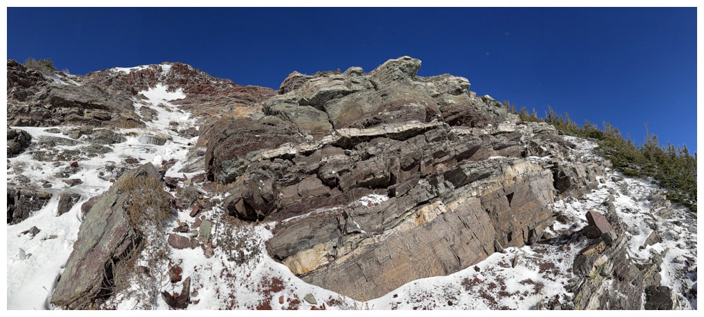
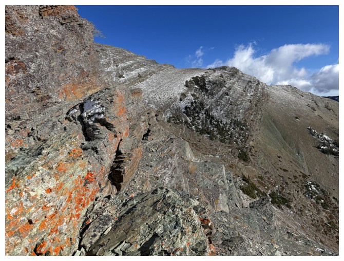
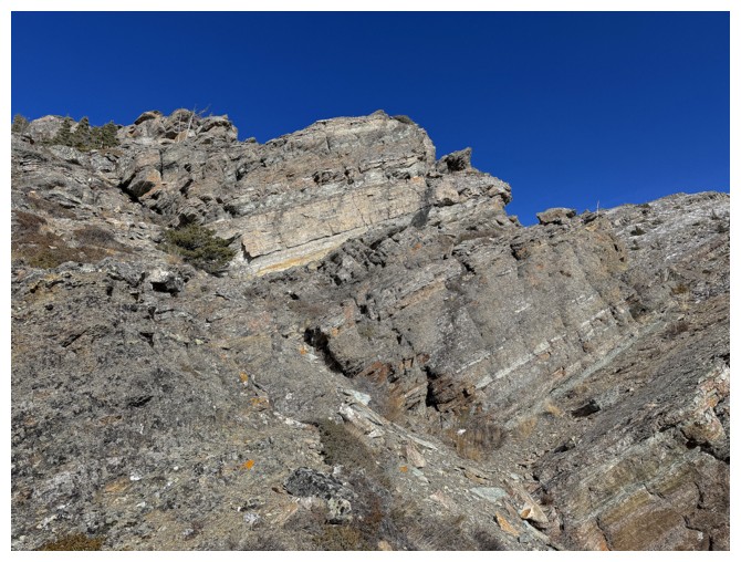
The first rock band that is going to demand lots of photo attention
Moving on to the next
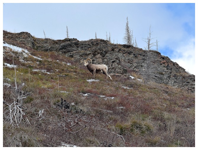
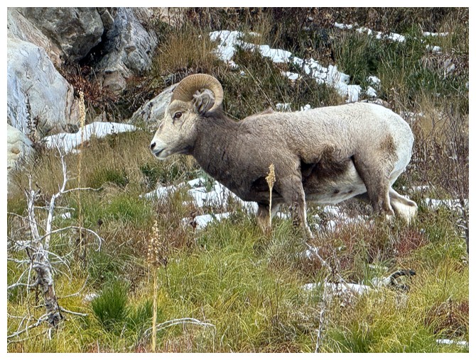
Happy to see some wildlife on Ruby that doesn't have claws
The animal (at the right) blends into the rock
And then disappears around the around side of the rock band
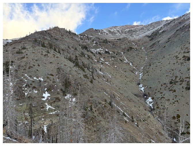
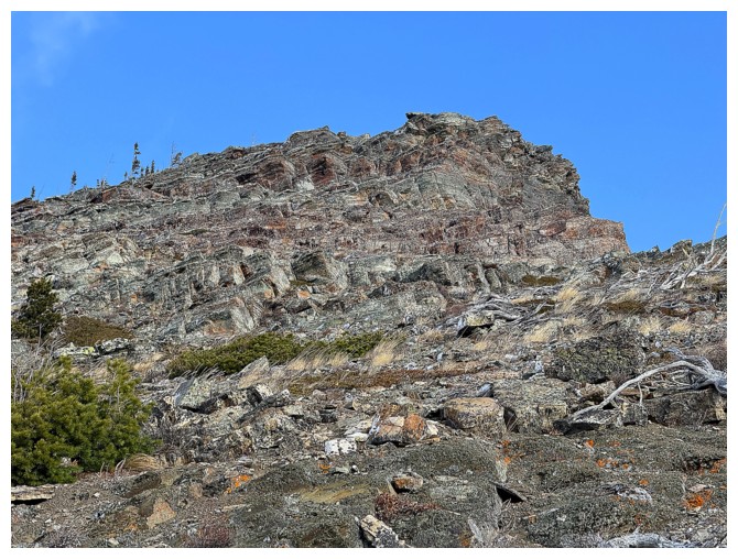
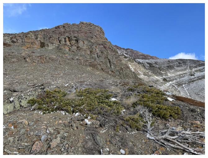
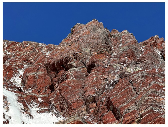
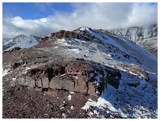
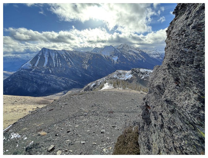
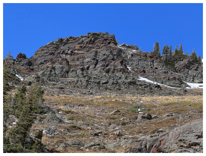
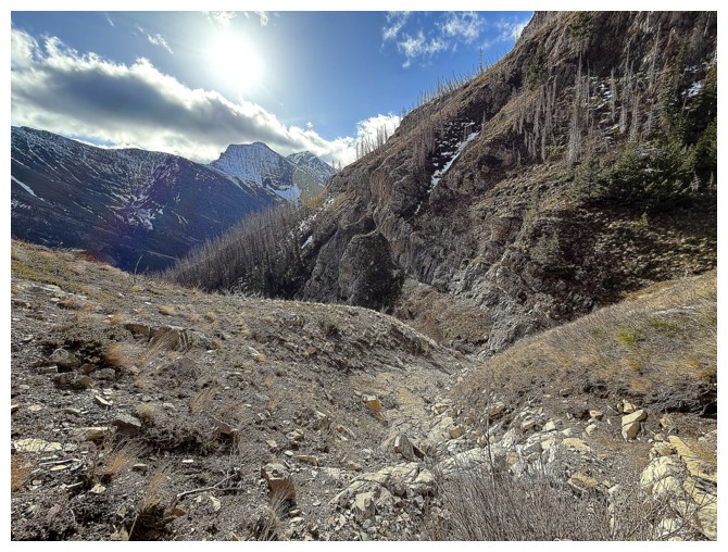
There's the summit, but still a long way off
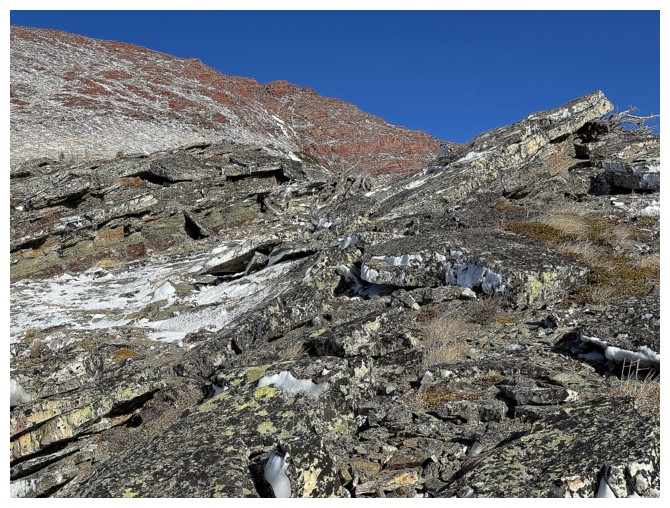
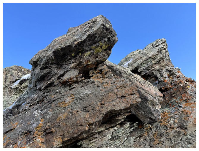
Many more run-ins with beautiful rock and lichen before reaching the top
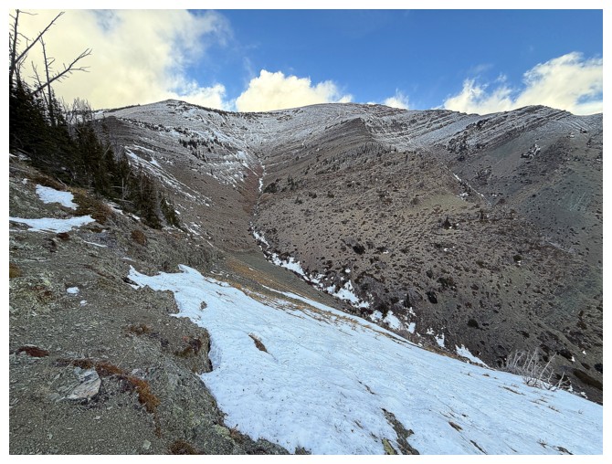
The ridge I want to be on, at the left, is going to require an elevation loss to get to
Same as above, but now that ridge is at the right
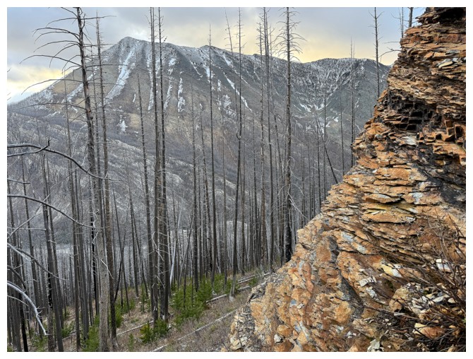
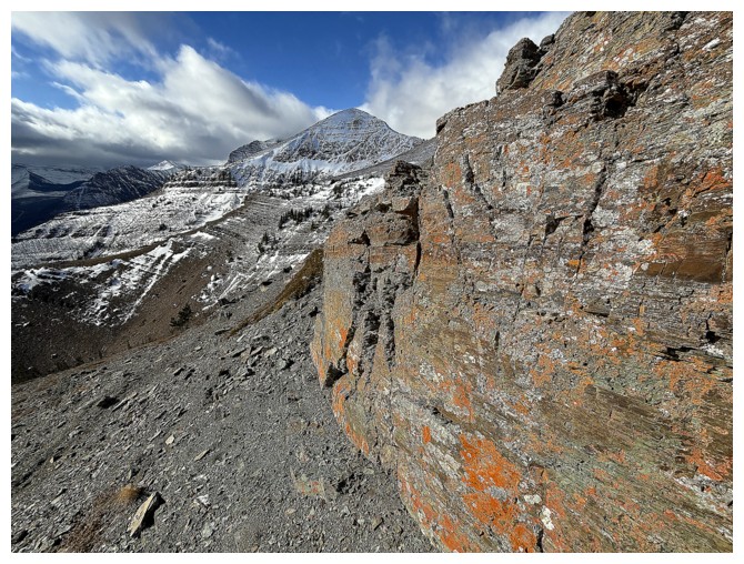
Buchanan Ridge appears, right of The Senator
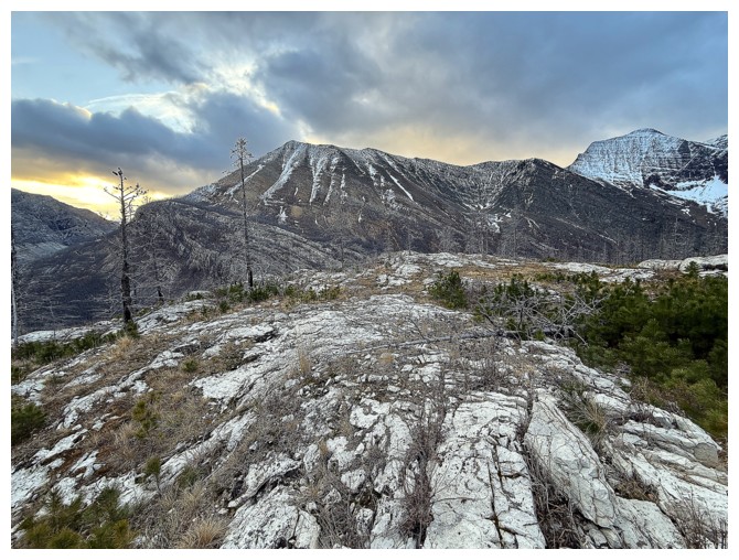
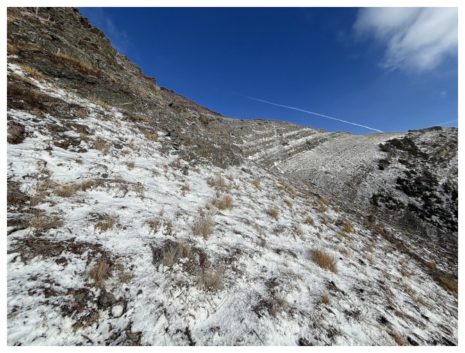
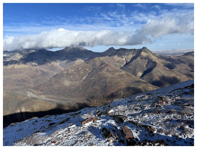
Cloudy, but cool views to the south
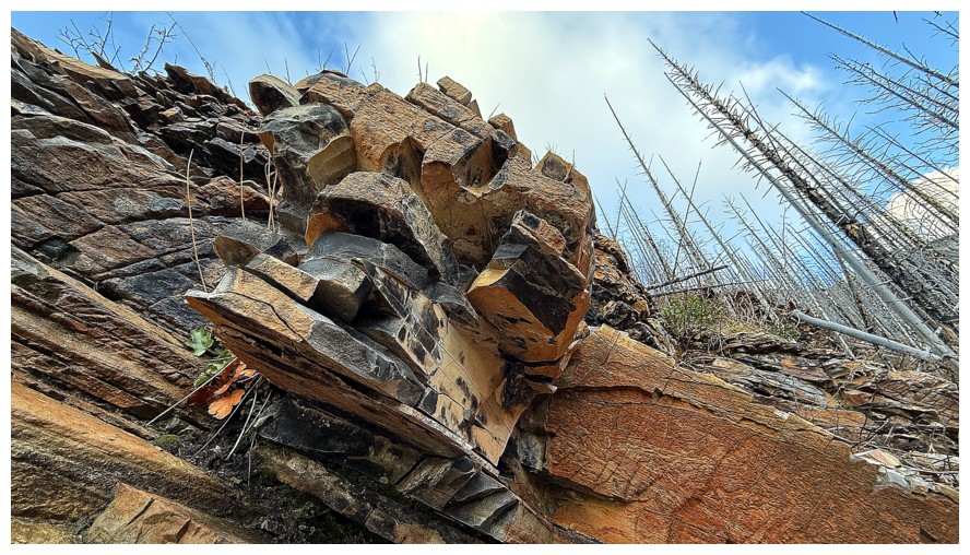
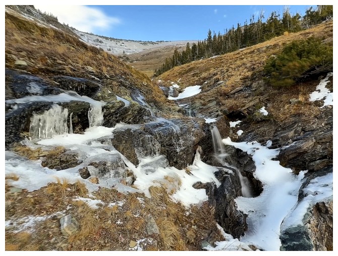
Round 3 of "cool rock"
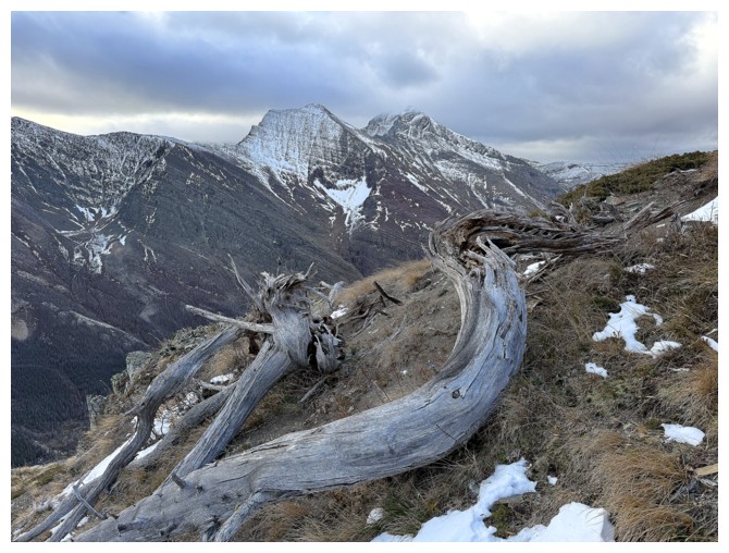
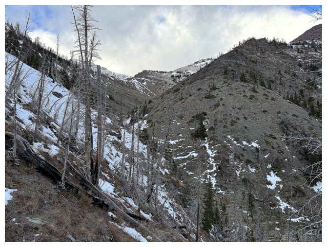
Round 1 of "cool dead trees"
Round 4
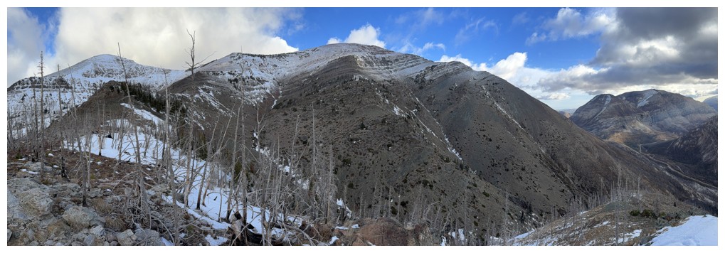
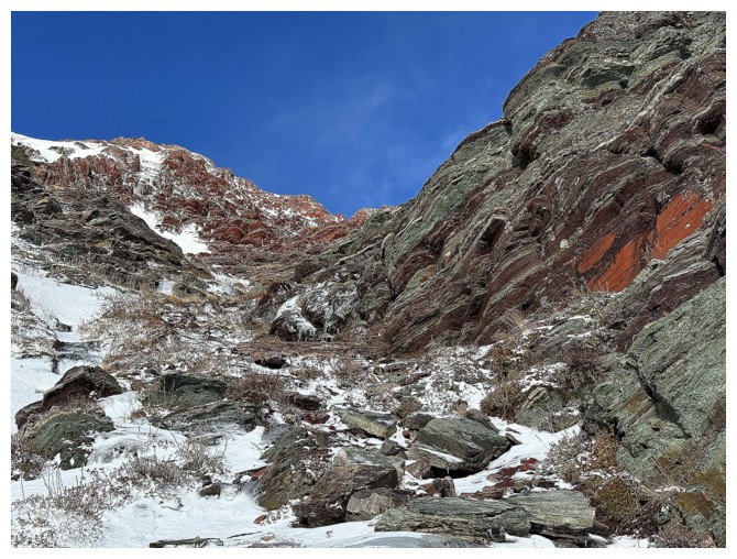
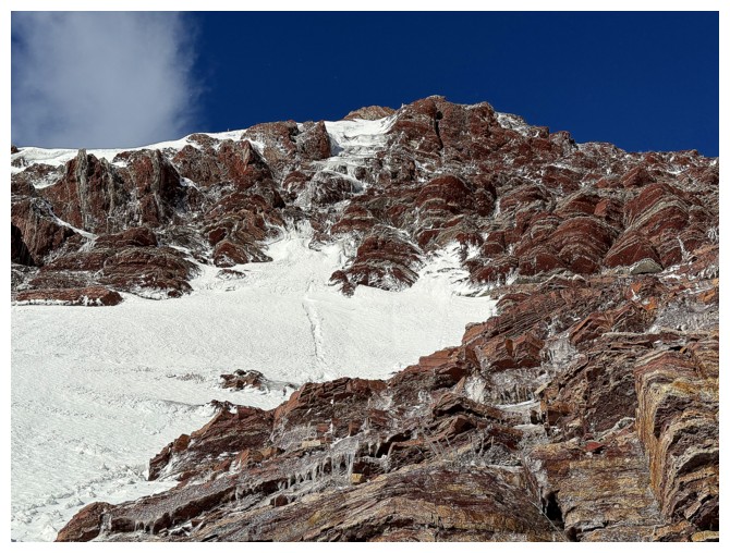
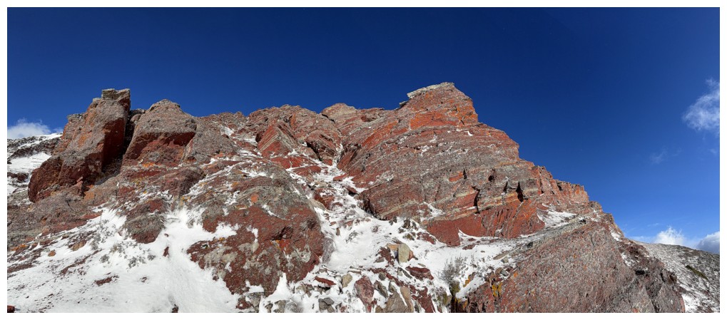
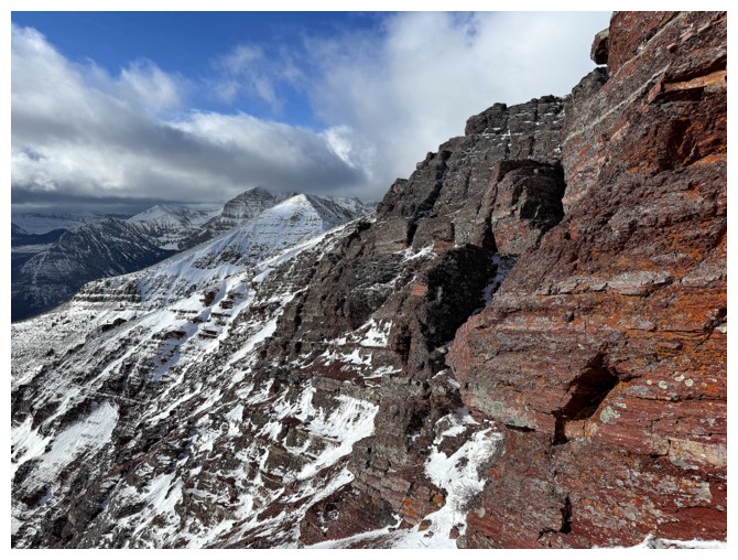
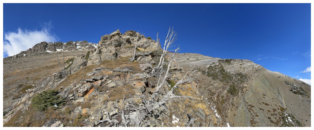
The true summit of Ruby and the ridge I'm on at the right; the ridge I want to be on in the centre; the scenic southeast ridge at the left.
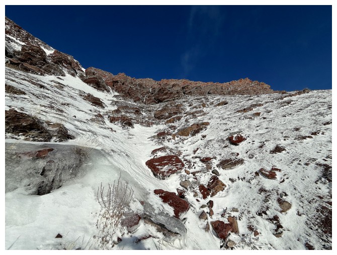
Losing elevation into the drainage between the ridges
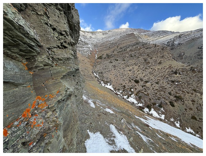
I stuck close to this rockwall, to avoid the hard snow
Looking back to where I came from at the upper right
The drainage between the ridges was a pleasant surprise
Finally some ice!
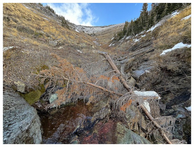
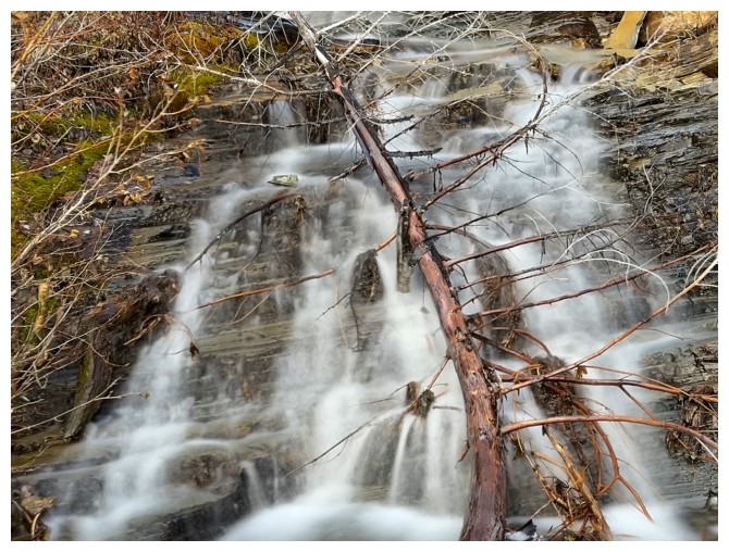
This fallen tree in the creek was covered in icicles. An extended stay to admire it was warranted.
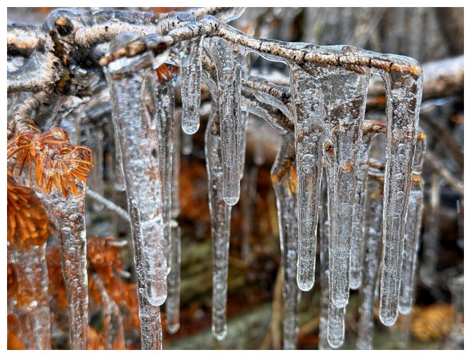
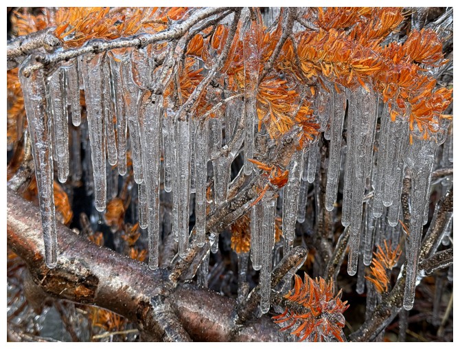
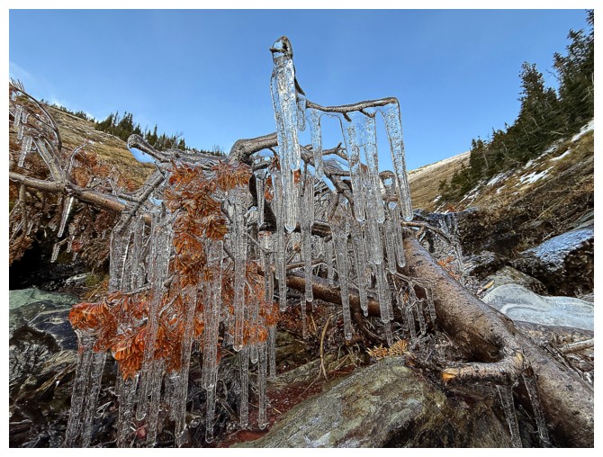
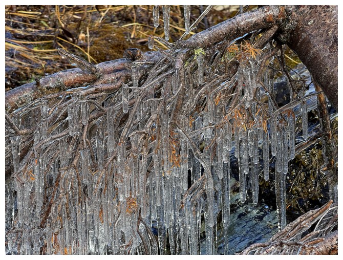
End of extended stay
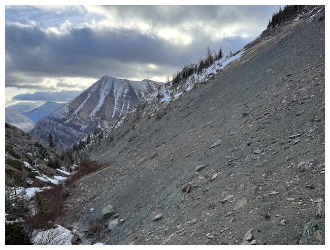
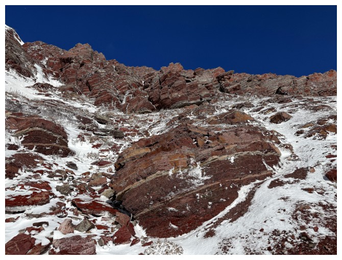
Working my way up the ridge I intended to ascend
The slightly higher true summit of Ruby
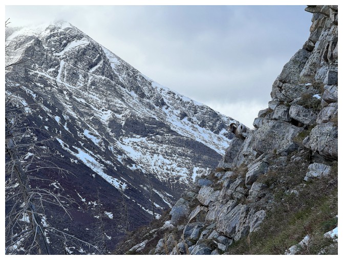
Approaching the base of the rock band, while getting pushed around by the wind
Ducking below the rock to get out of the vicious wind. I traversed along the base until a good route up was found.
Lots to appreciate above me along the way
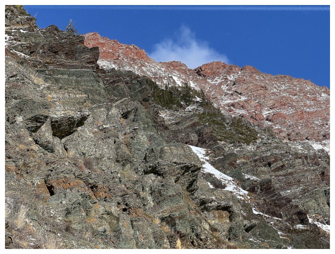
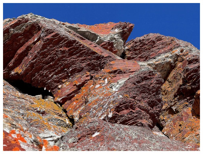
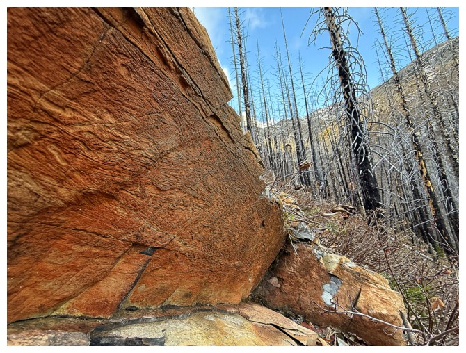
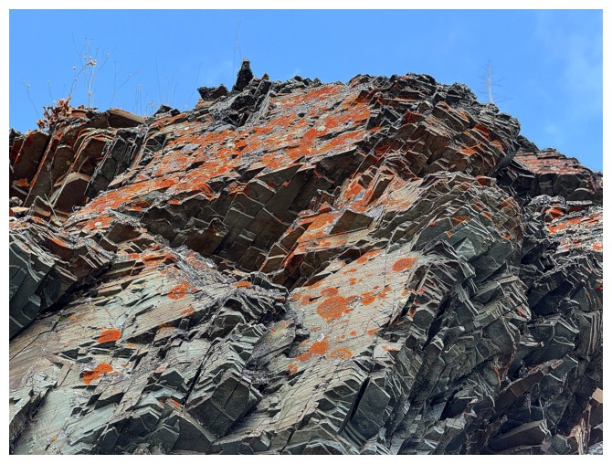
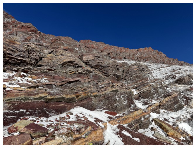
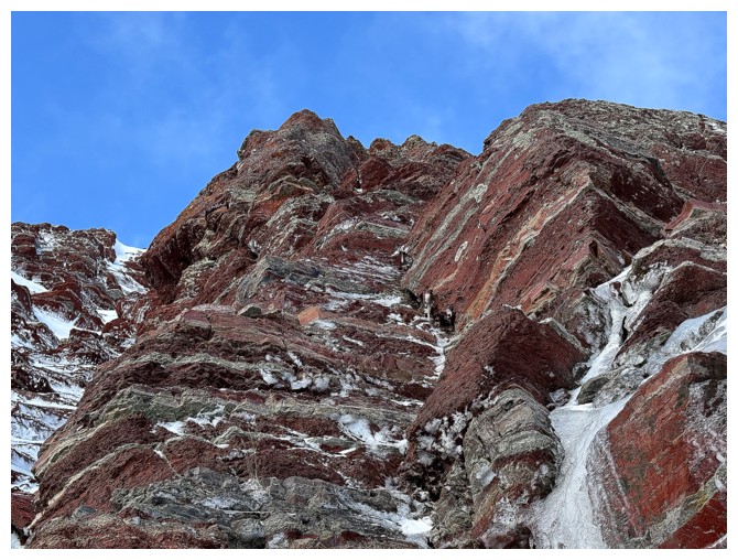
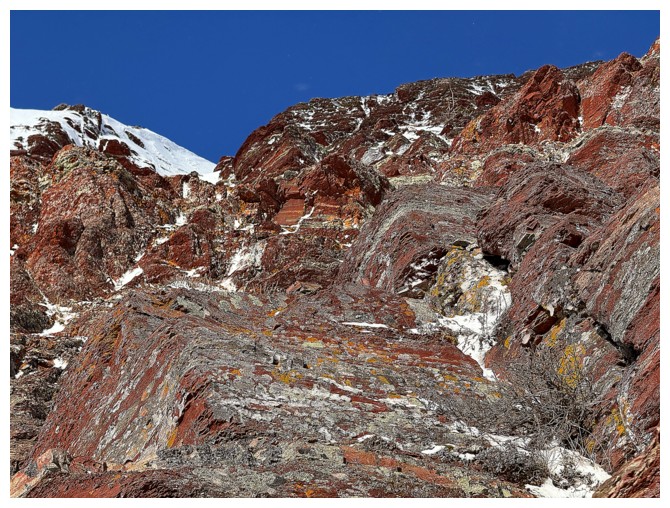
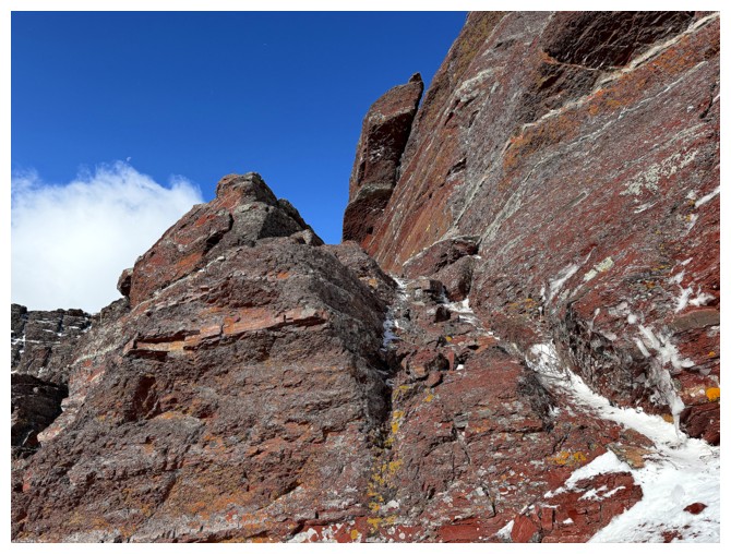
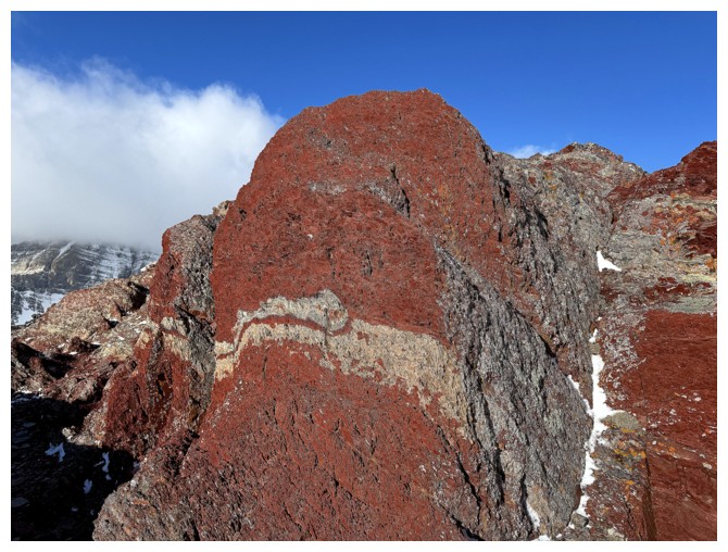
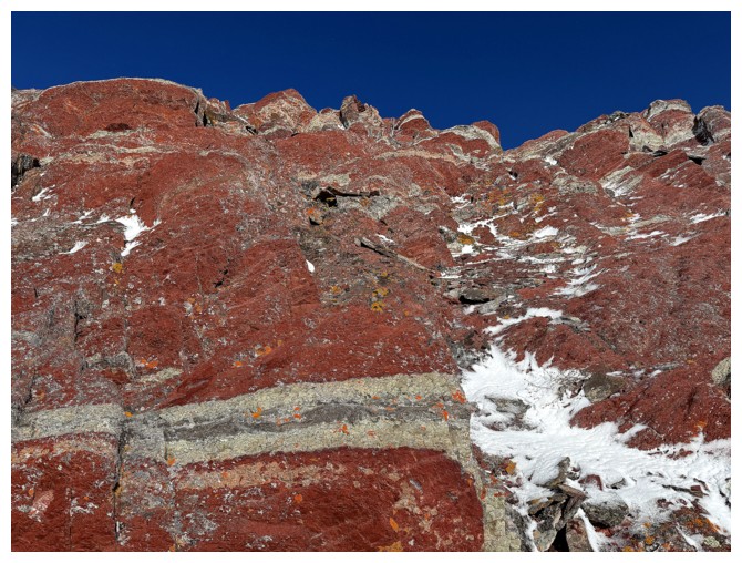
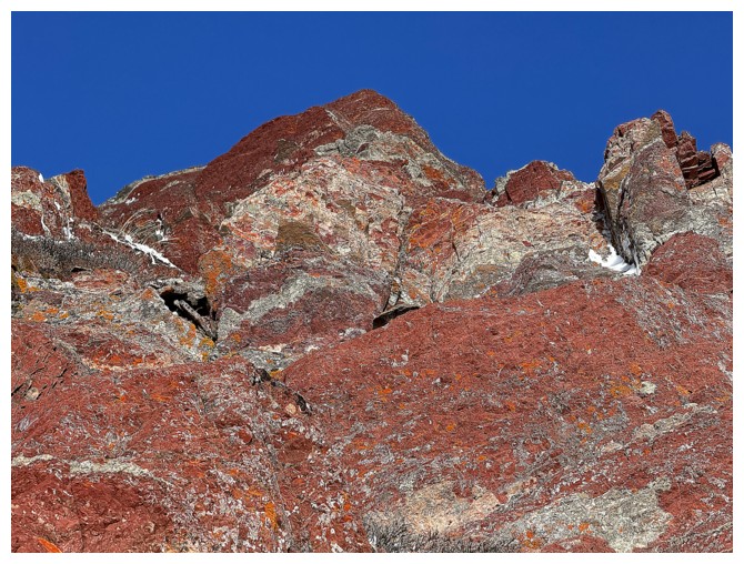
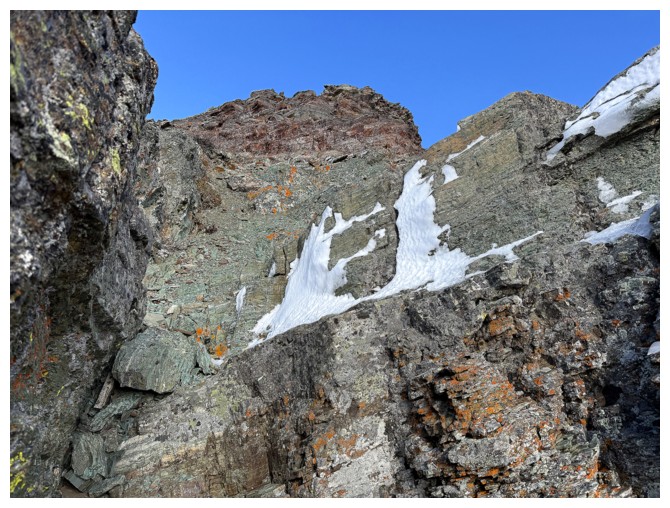
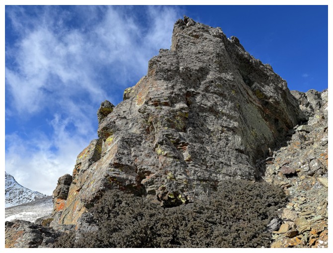
First look at the red argillite topping of Ruby that renders it one of the most scenic mountains in Waterton
Below the extensive bands of bright red argillite sit alternating bands of green and burgundy argillite
Still traversing
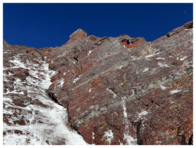
The first signs of ice on the upper slopes
The red topping is so alluring
Time to start heading up to the red topping
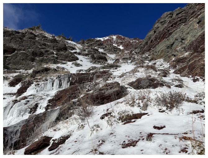
The small amount of ice and snow here were wonderful additions to the scenery
Salivating
And again
With crampons and an ice axe, this may have been ascendable
I took this route instead
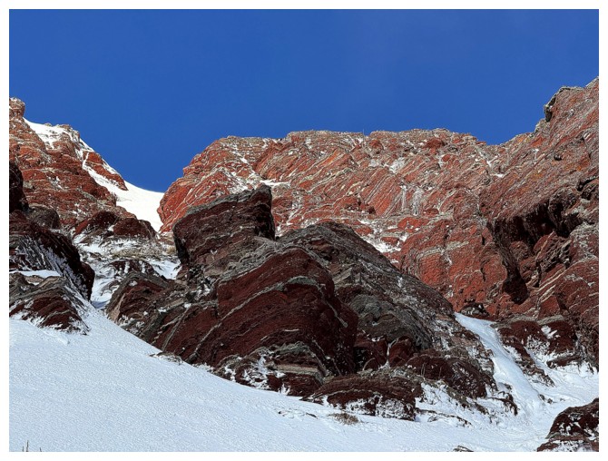
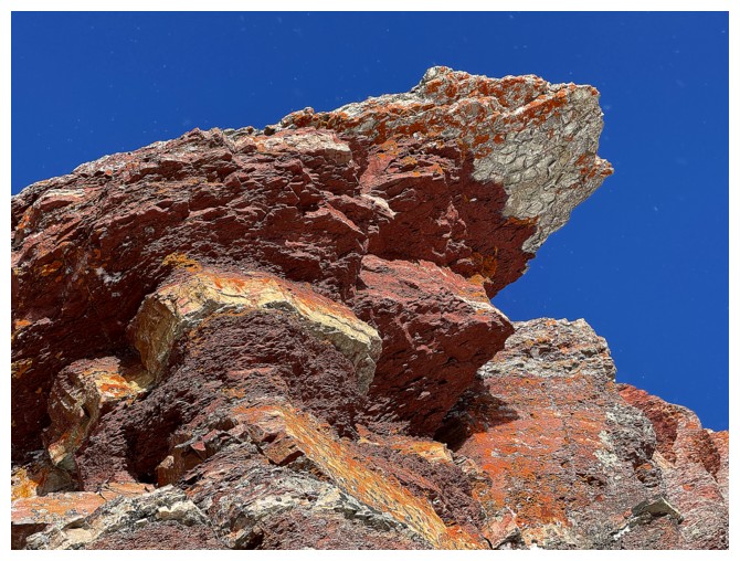
Approaching the Topping (it's graduated to capitalization status!)
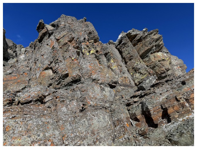
The Topping
Not quite as good without the Sun's rays (but still stunning)
Time for the gratuitous red argillite portion of the day
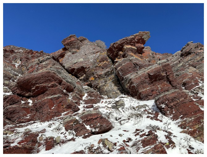
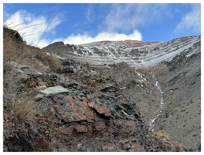
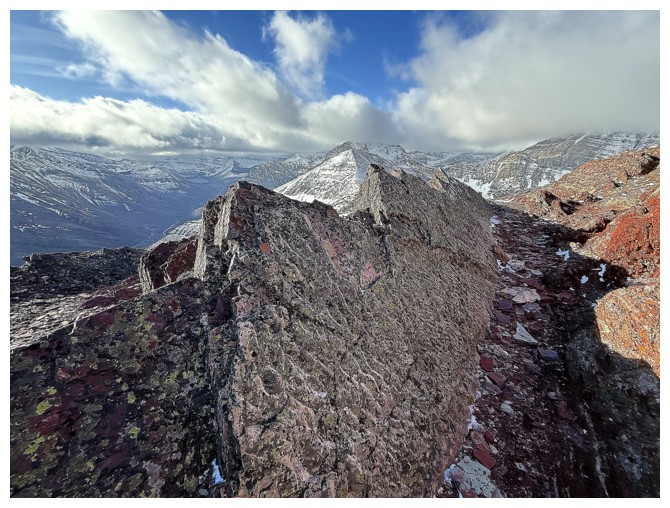
Nearing the summit, the true summit is visible again
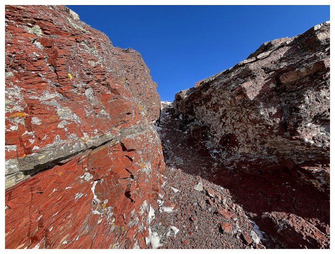
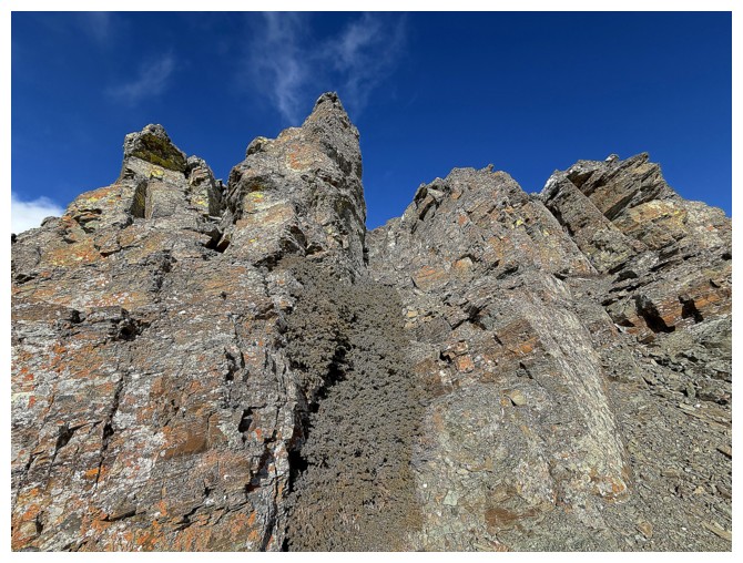
Neat little passageway to hell
On the summit ridge and hell is the Waterton wind
The summit is only a few hundred metres away but into the vicious wind it felt like a full kilometre
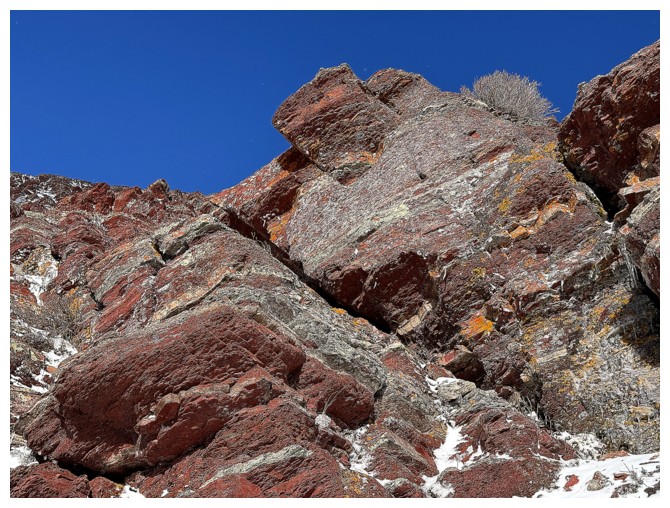
Always great to see this distinctive band of rock near the summit
And this uplift of ripple rock
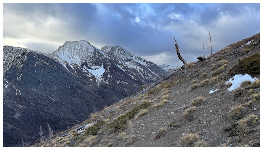
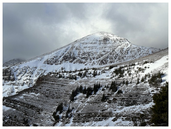
Mount Galwey and Galwey North in the centre
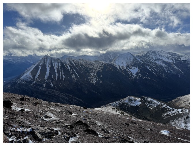
Still cloudy to the south, but it was clear where I wanted it to be
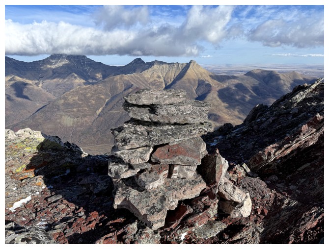
The summit cairn
Gettin' out of Dodge for another gratuitous round of RA on descent
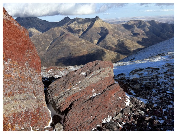
And other types of rock
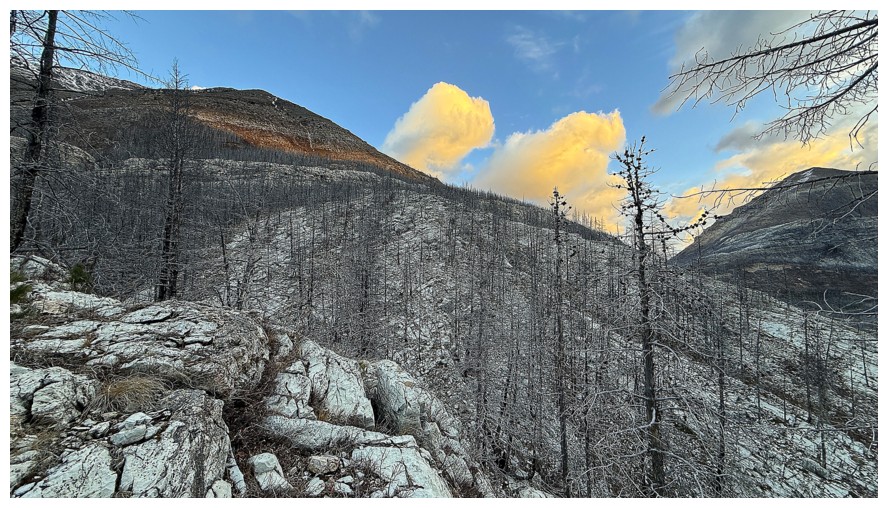
Sunny on Ruby, but very cloudy further west
Clear and beautiful to the northeast
Back behind the rock and out of the wind
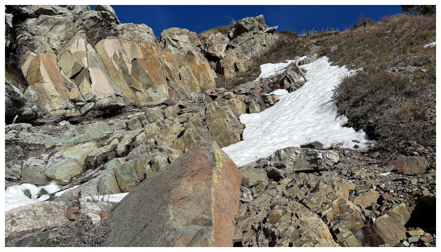
Scenes from the super interesting alternate descent route
This band was very solid and extremely photogenic
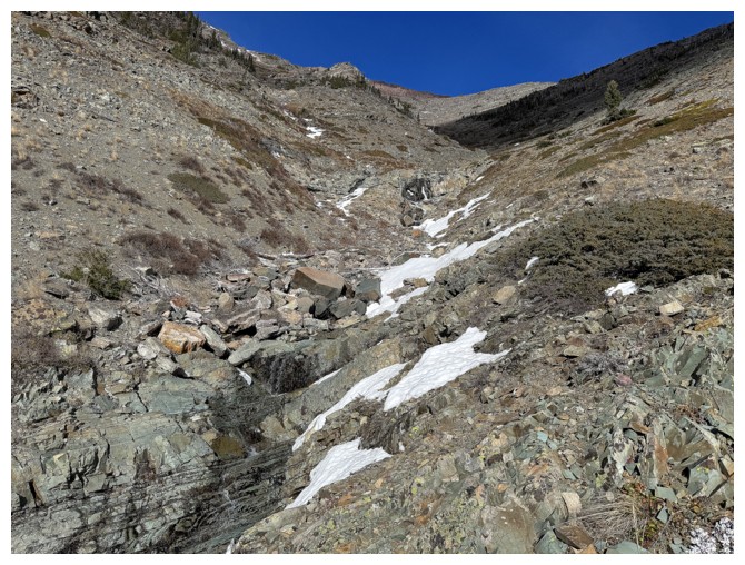
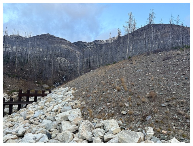
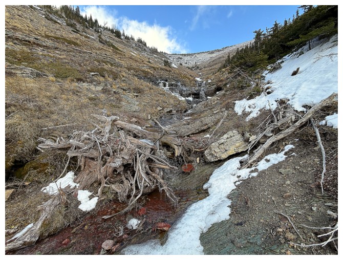
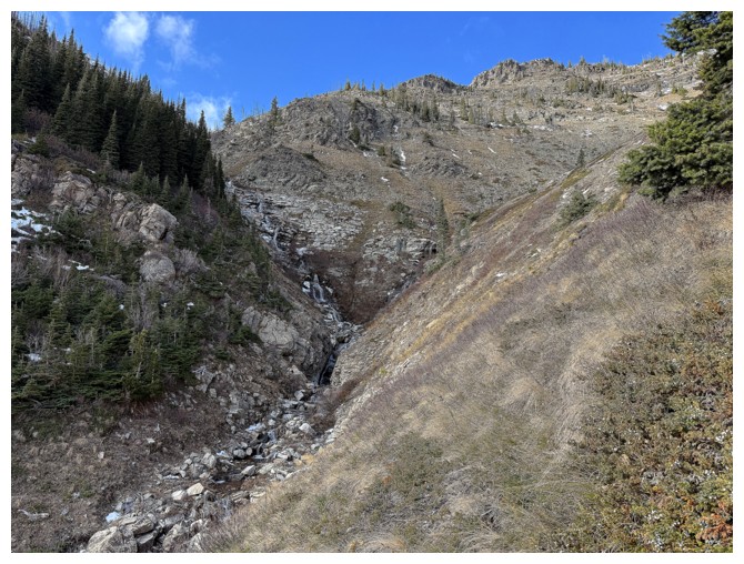
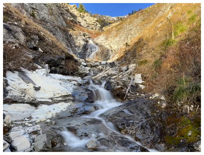
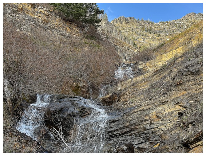
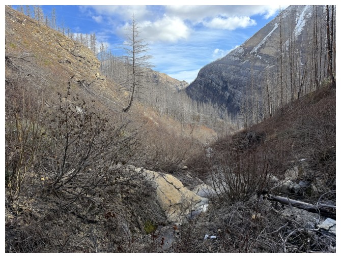
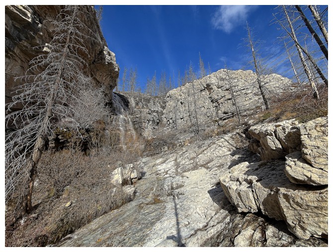
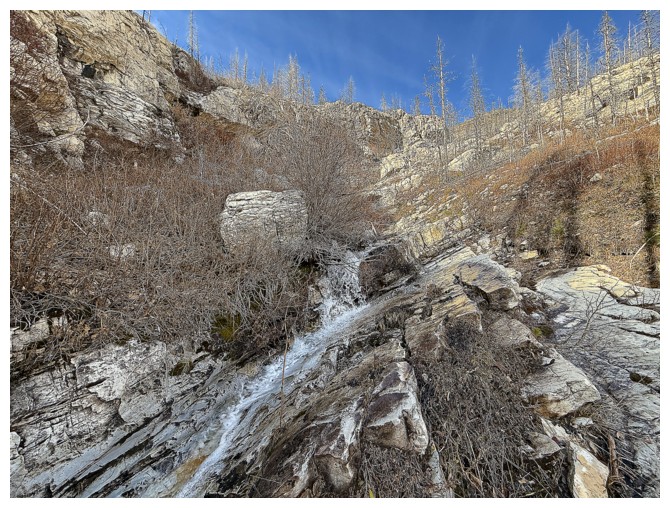
The lower part of the drainage I intercepted upon losing elevation on
ascent. It's already on the hit-list for a future route up Ruby.
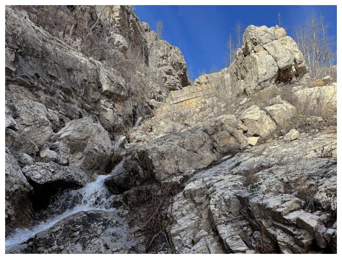
Continuing down. Unfortunately, staying in the drainage was not a feasible option.
Another cool band
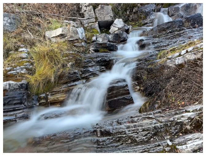
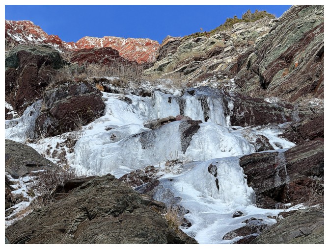
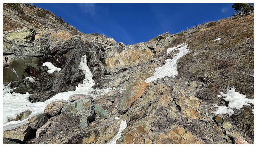
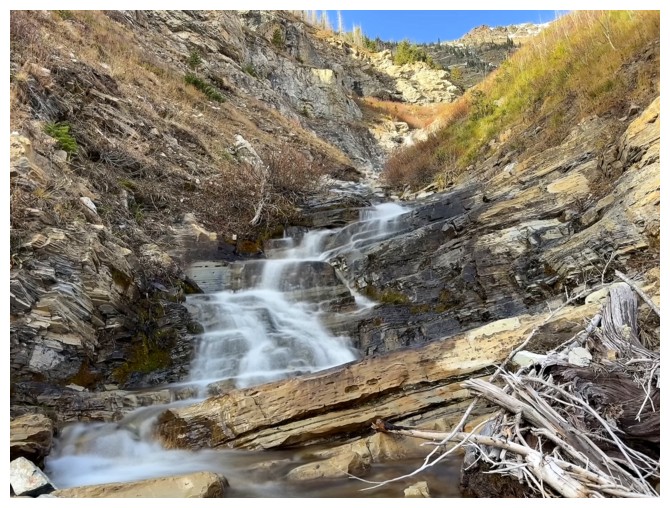
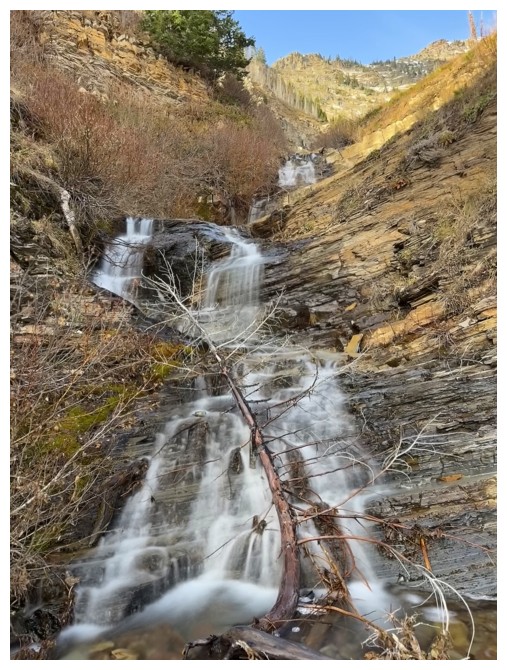
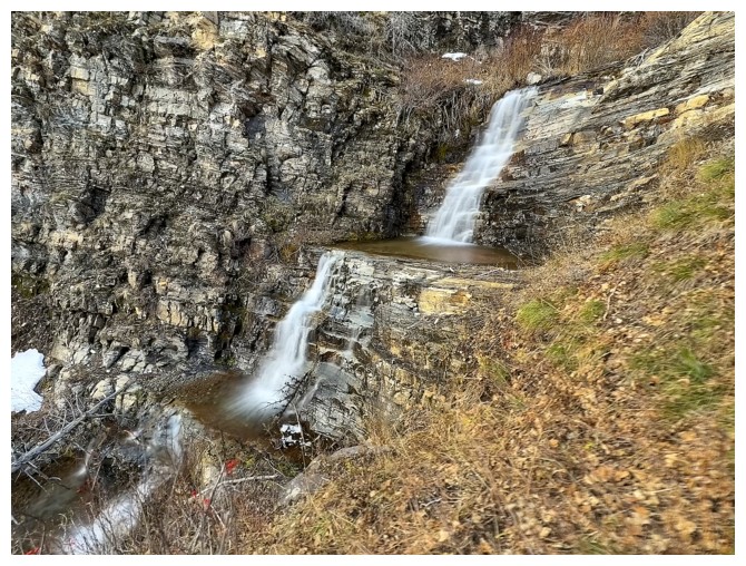
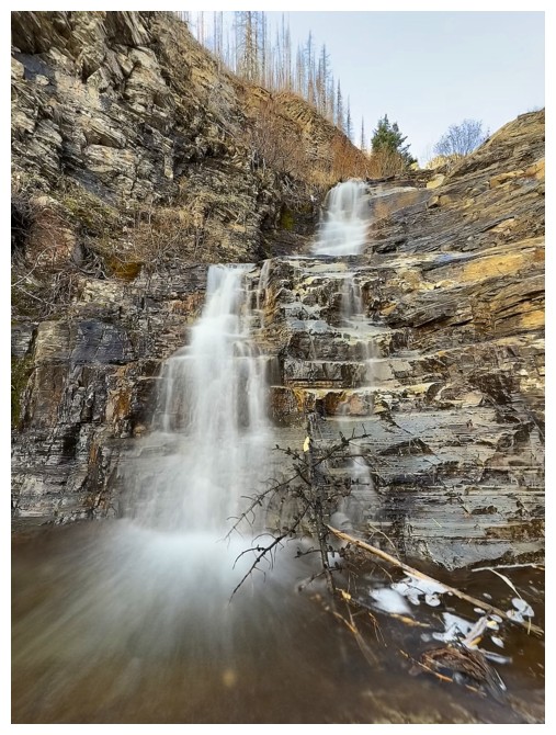
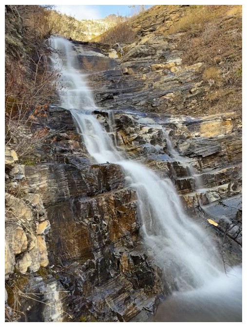
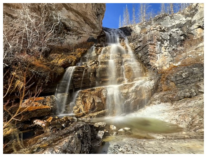
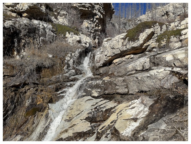
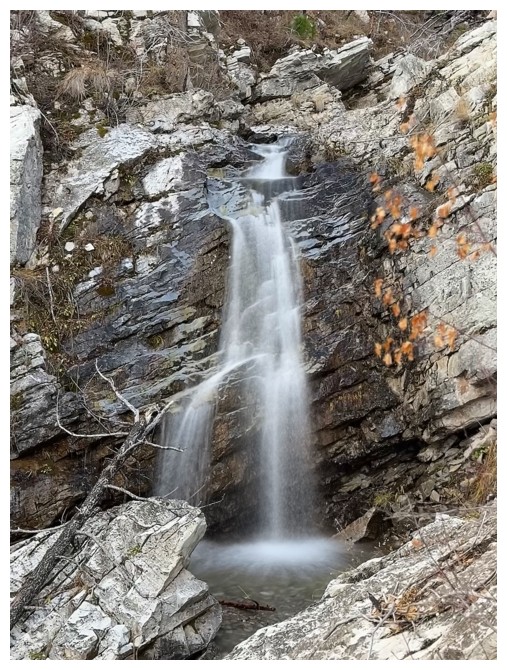
Time to work my way back to the drainage. There appear to be multiple waterfalls and cascades.
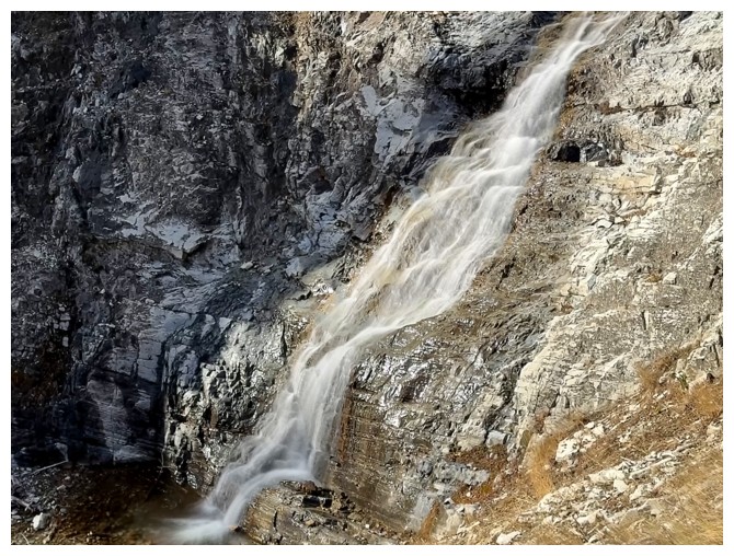
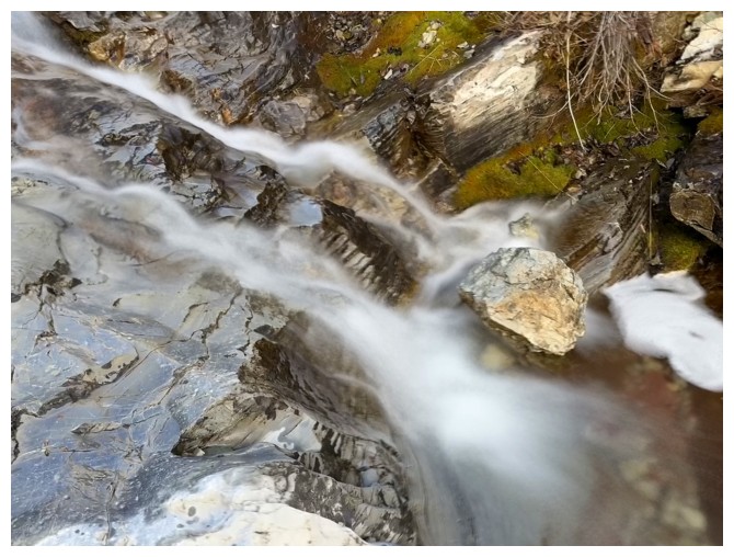
The first of many
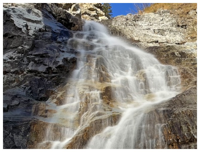
Terrific water scenery from here almost to the bottom
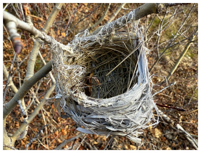
Bird nest
 Back to the water
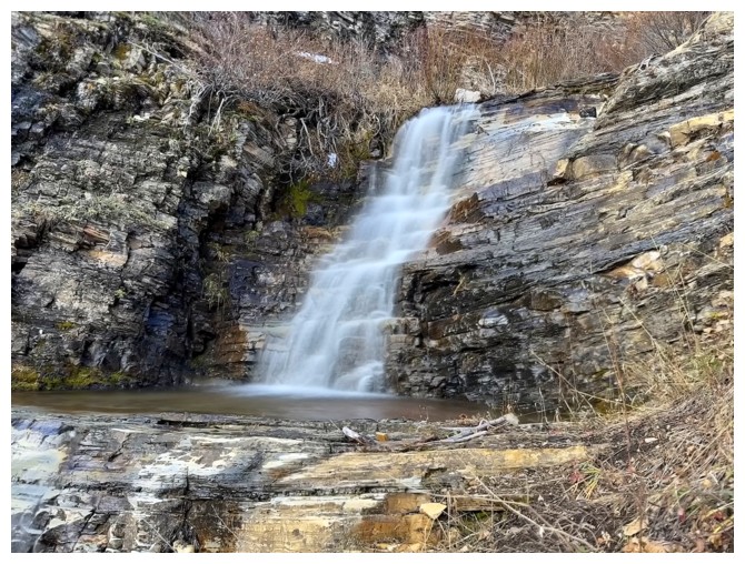
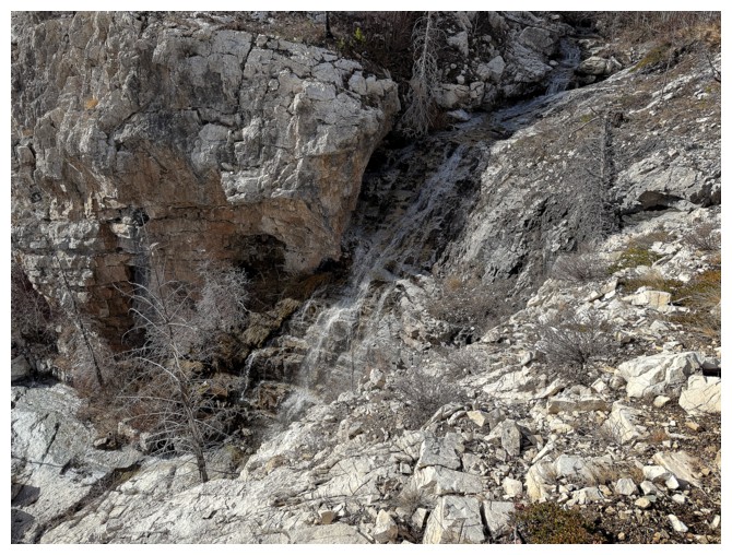
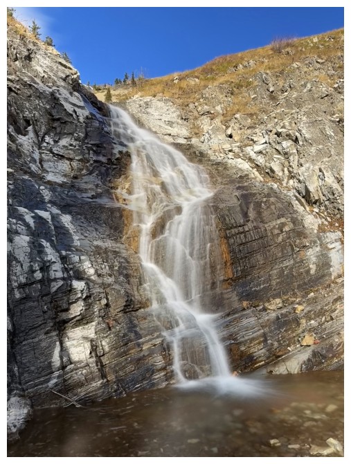
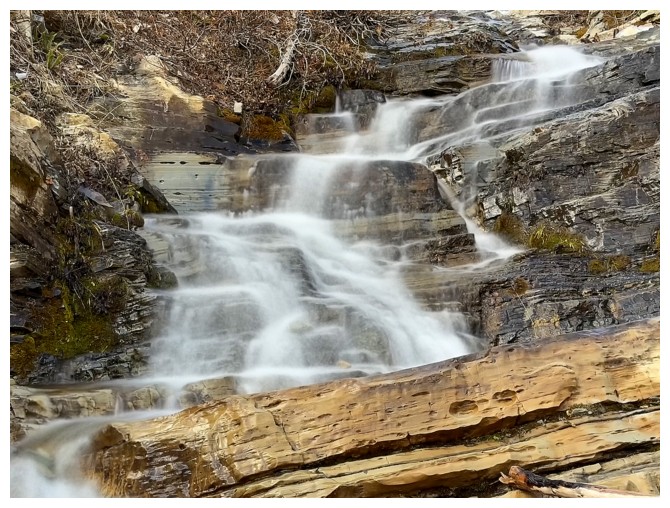
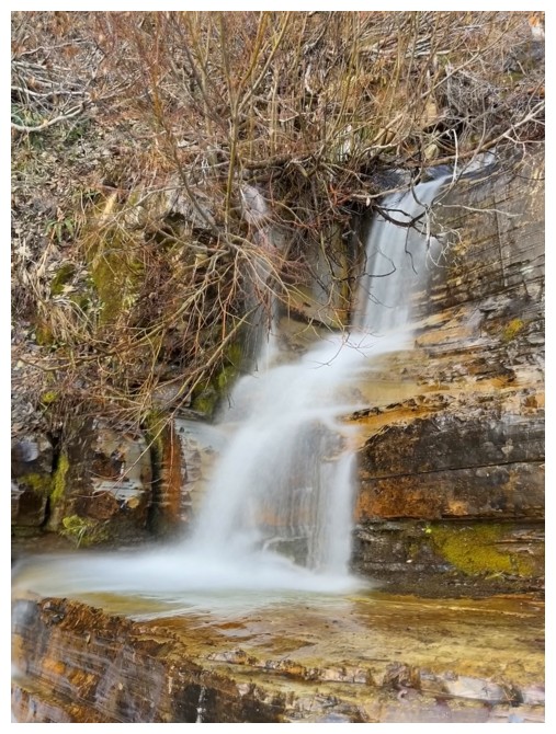
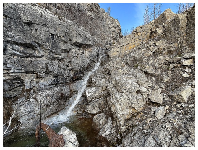
Back to the section that was fully frozen on October 30, 2023
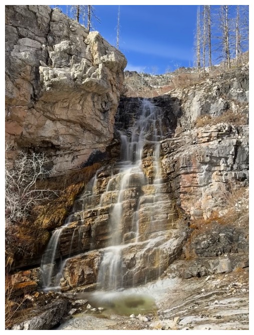
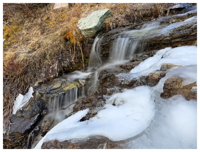
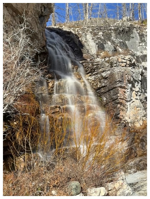
 Better views from below
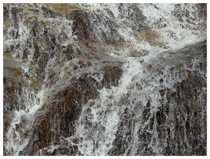
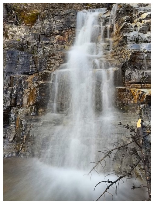
One more
I stand corrected
Leaving that beaut behind
On to more
Back at the parking area with the same view I started with. Awesome trip!
The End
LOG