Sanson Peak
February 15, 2024
Mountain height: 2256 m
Elevation gain:
840 m
Ascent time: 4:15
Descent time: 2:40
Insane snow
wallowing with Doug and Scott!
Words escape me
to write this trip report, except, “DON’T DO IT!!” – at least not as a winter route
after a big snowfall.
There are three
feasible routes up Sanson Peak: 1. From the east, via the Sulphur Mountain
Gondola route; 2. from the west, via the Sulphur Mountain access road; 3. The
peak’s northwest ridge. 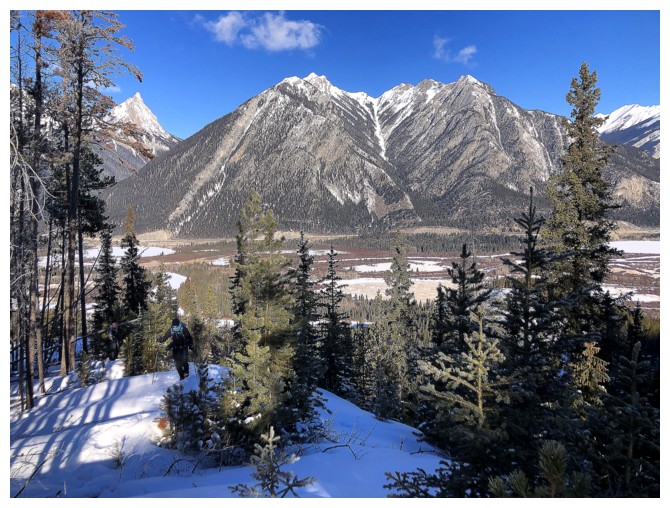 We chose route 3, thinking it might be the most
interesting.
We chose route 3, thinking it might be the most
interesting.
In retrospect, I
would say route 3 is in fact the most interesting, however, it requires several
kilometres and about 800 vertical metres of trail-less travel. 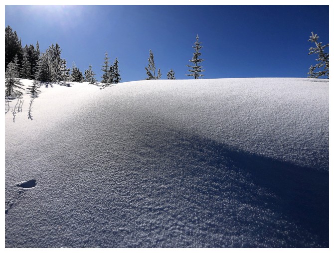 Our trio was
prepared for travel without a trail, but we weren’t prepared for almost 3 hours
of excruciating wallowing up and through waist-deep snow. Were it not for
Scott’s trail-breaking heroics, Doug and I would have turned around long before
reaching the summit.
Our trio was
prepared for travel without a trail, but we weren’t prepared for almost 3 hours
of excruciating wallowing up and through waist-deep snow. Were it not for
Scott’s trail-breaking heroics, Doug and I would have turned around long before
reaching the summit.
The first few
hundred metres of elevation went with ease, lulling us into a false sense of
complacency. We expected conditions to become a little more challenging up
high, but they were off the charts! In 23 years of mountain travels I had never
experienced a battle with the snow of this magnitude. 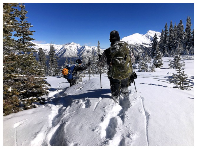 At a certain point, the
primary motivation for continuing up became the promise of an easier descent
route down the access road. I, for one, ceased completely to care about the
summit of Sanson.
At a certain point, the
primary motivation for continuing up became the promise of an easier descent
route down the access road. I, for one, ceased completely to care about the
summit of Sanson.
Thoroughly
exhausted and beaten down, we stumbled onto the summit 4.75 hours after
leaving. And did the summit view make up for the struggles to get there? The
jury is still out. The semi-treed summit grants good views in all directions,
but only if you wander around it. Neither of us had the motivation to do so.
Three minutes after arriving, we were on the move again, thinking only about
the easy road descent that was hopefully only a few hundred metres away.
That didn’t
acquiesce without a fight either. The 45 minutes it took us to travel about 350
m to the road felt more like 4 hours! Once there, however, a long but easy, mindless
walk brought us back to start, none worse for the wear.
And there ends a
classic “One and done!” Thank you to Scott and Doug for their terrific company and trail-breaking
prowess. Farewell forever, Sanson Peak!
Note: in previous reports I mistakenly identified the summit of Sanson Peak as the highpoint where the Cosmic Ray Station sits. In fact, Sanson is the lower highpoint to the northwest.
Decent views of mounts Edith (left) and Norquay at the start of the trip
Same for famous Mount Louis - one of the only mountains in the area without a scramble route to the summit
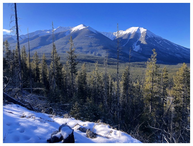
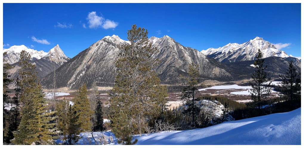
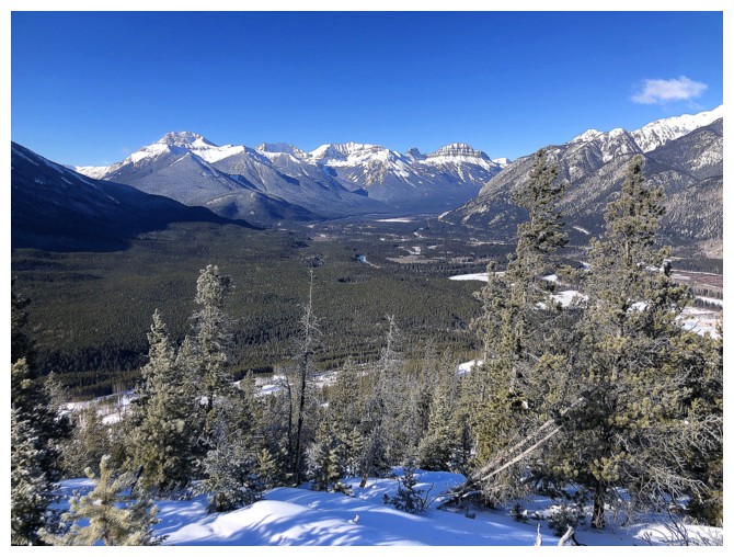
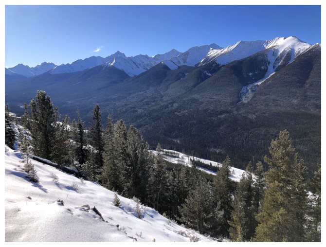
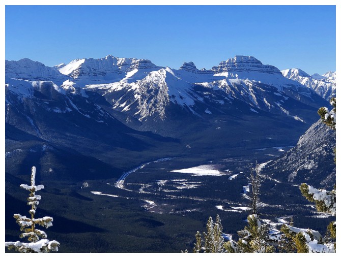
The north end of Sundance Range. The single massif continues all the way to Cone Mountain, over 30 km away.
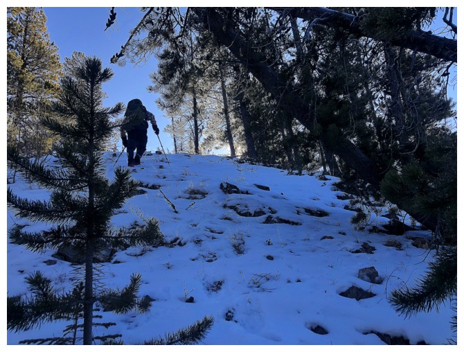
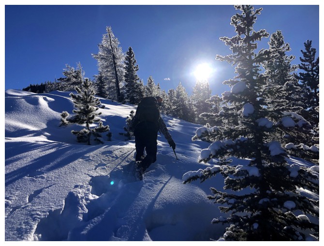
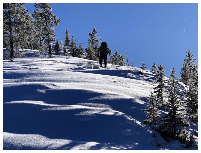
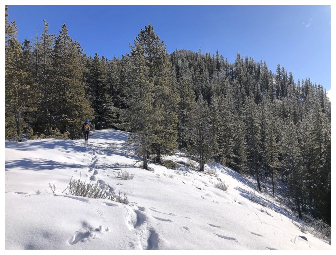
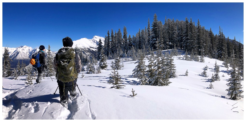
Doug enjoys easy travel on the lower part of Sanson Peak's northwest ridge
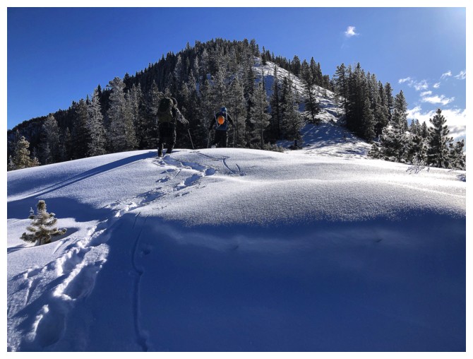
Same as above with Scott. Unfortunately, I didn't get many photos of
Scott, but that was because he was leading the way and breaking trail
for most of the route, while I was lagging behind.
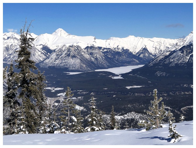
Left to right: Cory, Louise, Edith, Norquay, and Cascade
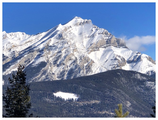
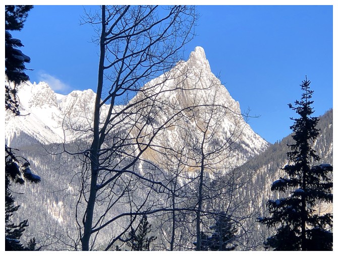
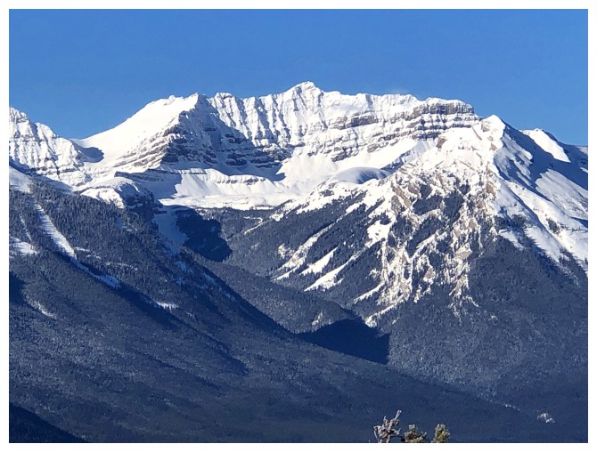
Close-up of beautiful Cascade Mountain
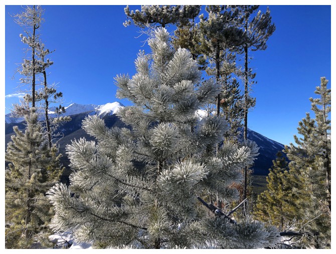
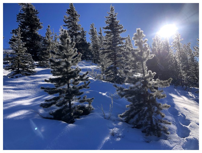
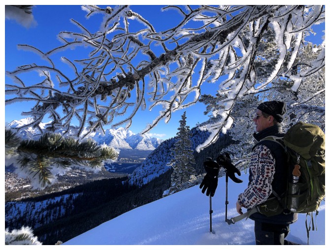
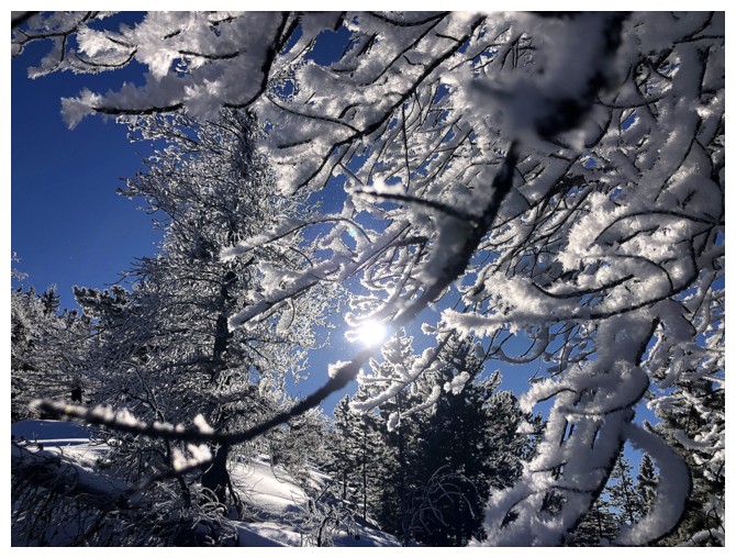
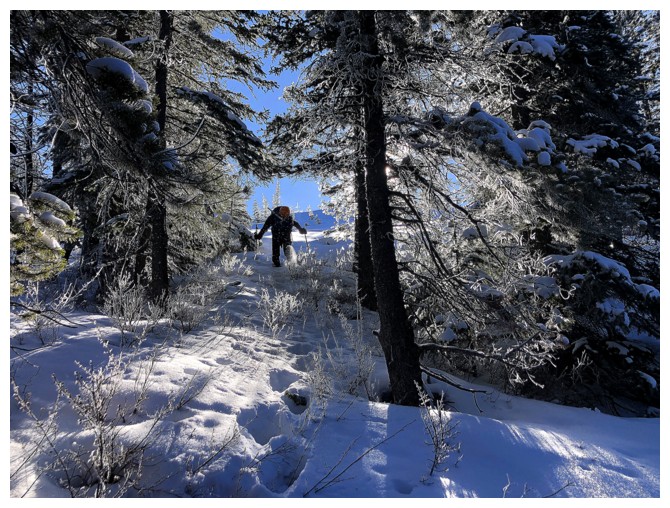
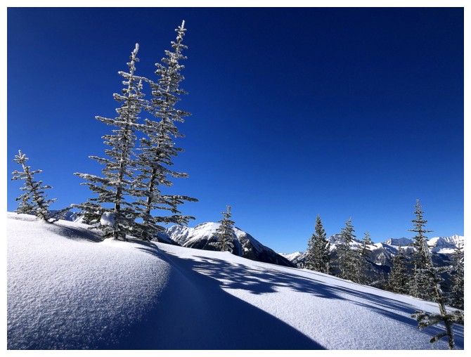
Frost-covered trees were one of the highlights of the trip
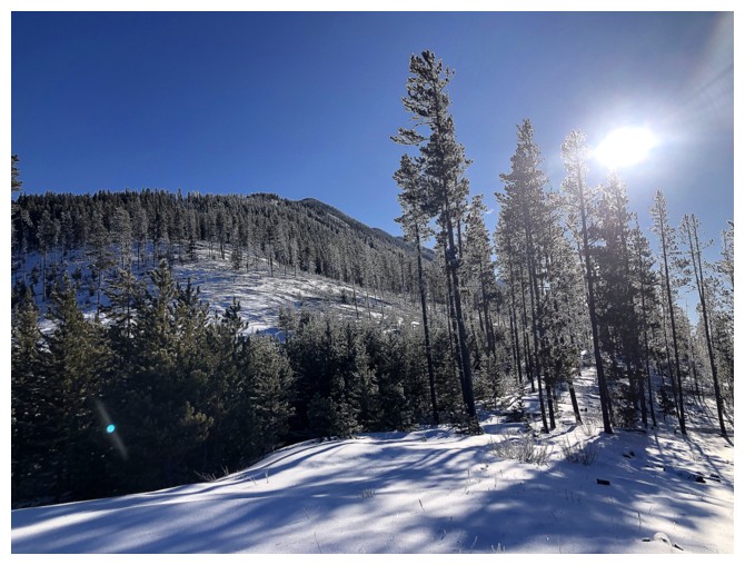
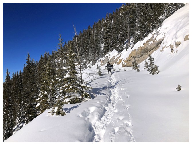
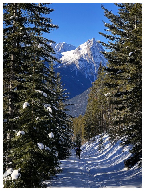
Though there are a few open areas along the way, the route is essentially treed from bottom to top
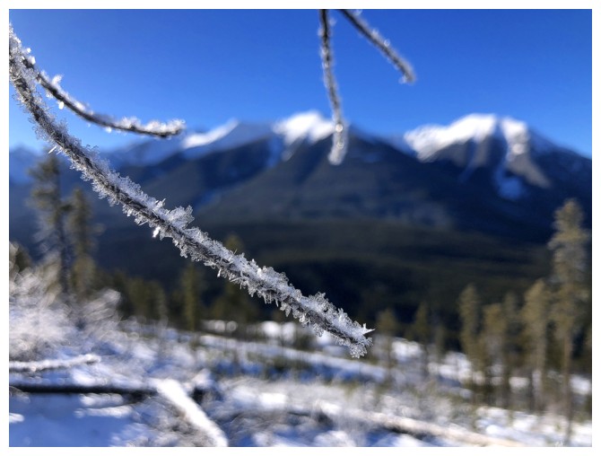
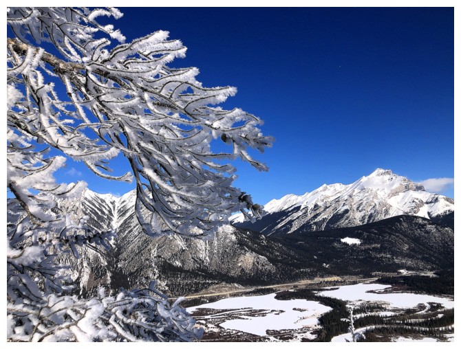
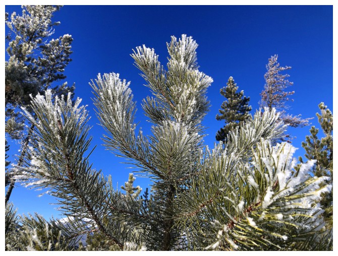
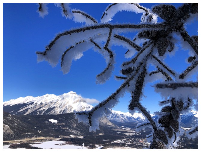
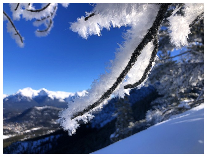
A frosty twig and the Sundance Range
Mount Brett - seems like a million years since I did that route with Bob Spirko
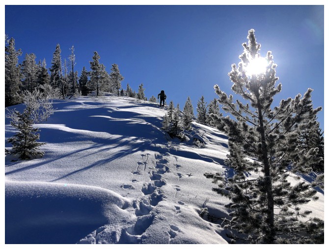
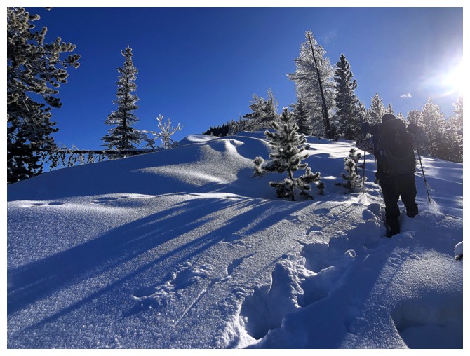
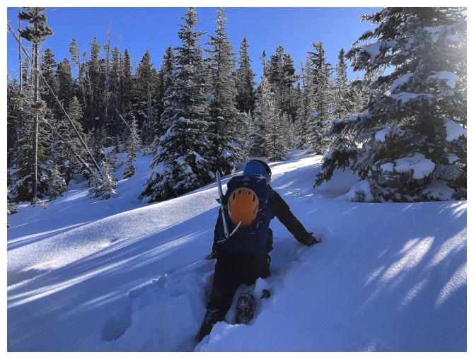
The tracks at the right are getting deeper!
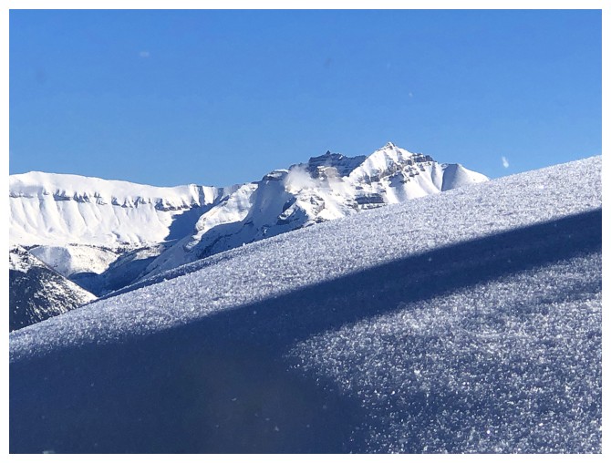
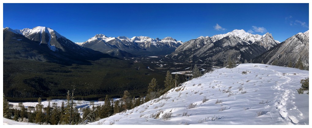
Pleasant view towards Bourgeau, Black Brett, Brett, and Pilot
And deeper!
The snow and shadows and lighting were super cool, even if we all were suffering at this point
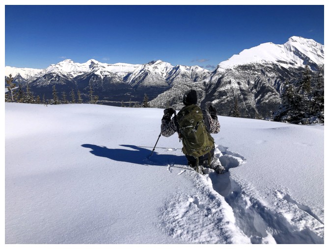
Doug admires the view to the north
The snow and frost on the trees
This section was my favourite part of the day (besides stumbling onto the access road on descent!)
Doug likes it too
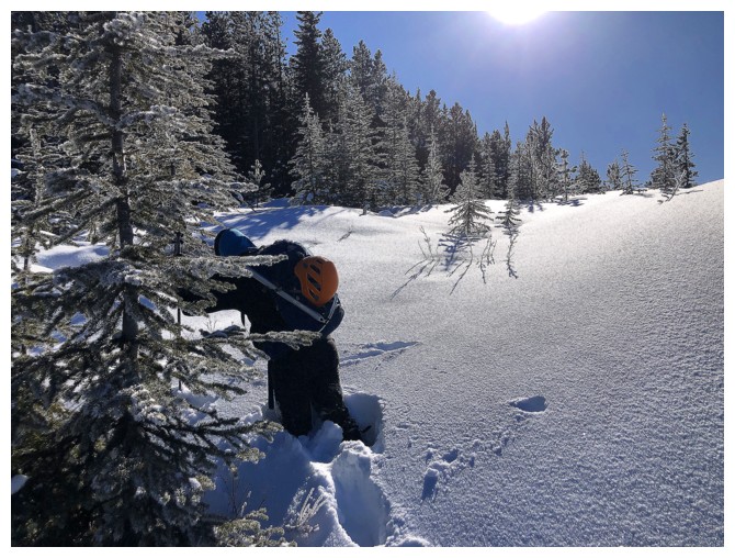
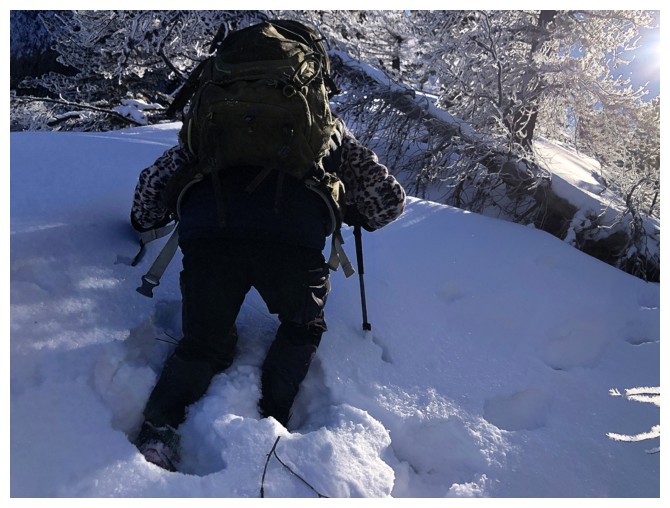 Quite sure he's not liking the postholing ahead!
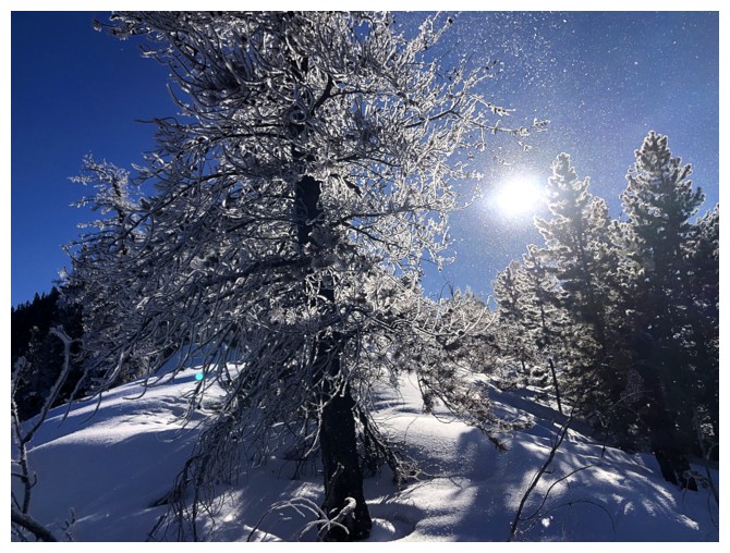
A bit of wind was enough to blow frost and snow off the trees to "make it snow"
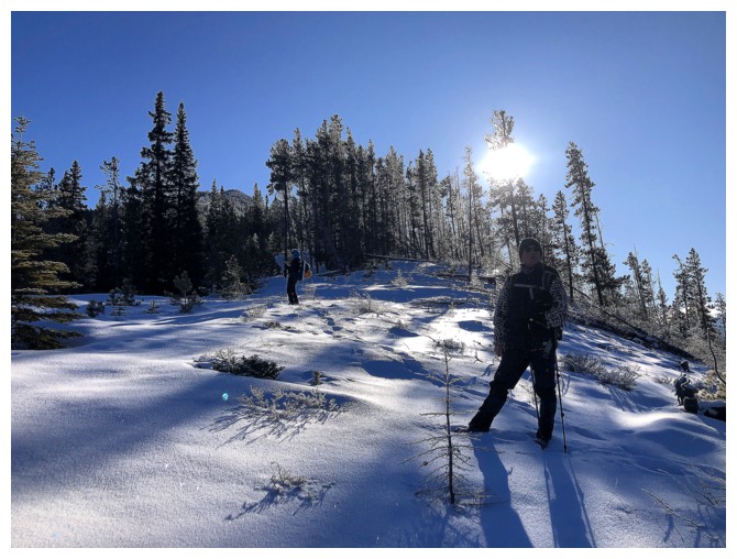
Scott and Doug are off again, breaking trail and making my life a little easier!
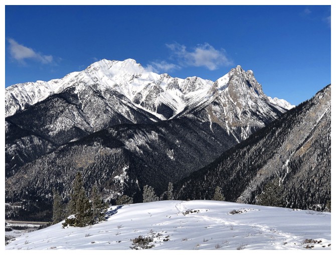
Mount Peechee peaks over the snowy ridge
Go Doug!
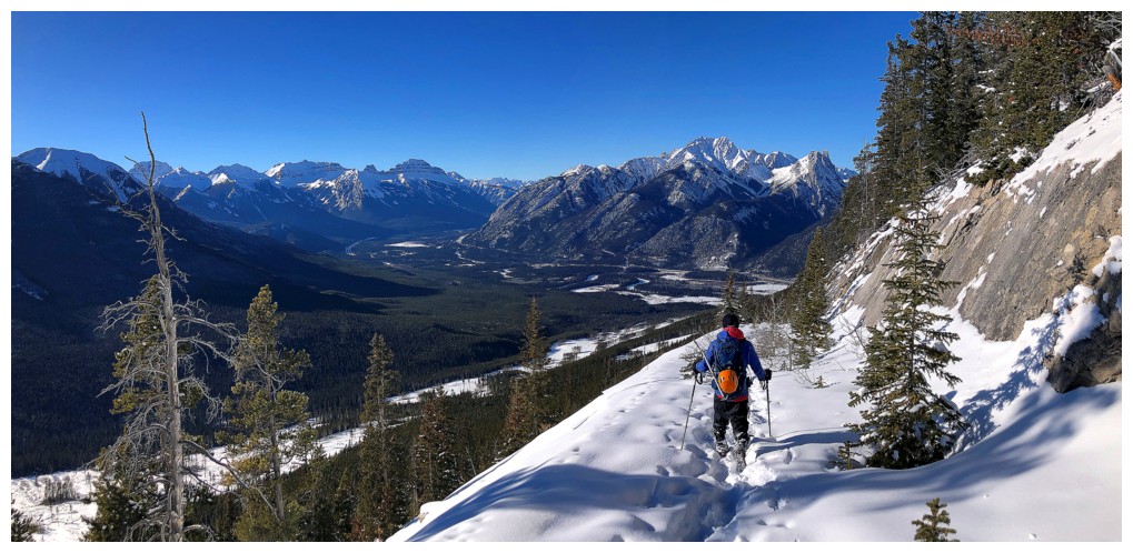
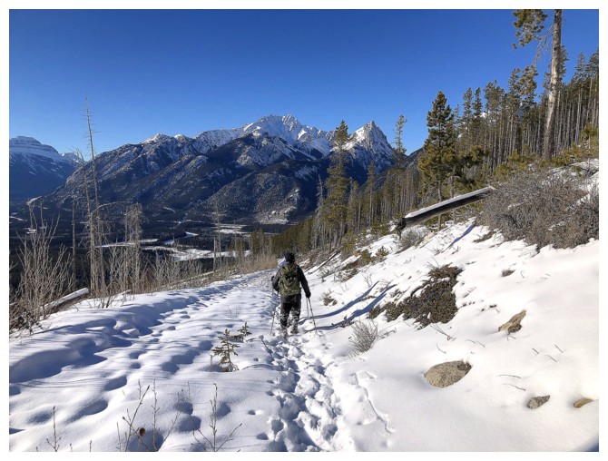
The open areas provided the best views but the worst postholing
One of those views
And another
The Sundance Range has innumerable peaks and highpoints, but only 3 are official
Heading back into the trees
Scott breaking trail like a fiend!
I chose to be conveniently distracted by the beautiful snow scenery, trees, and blue sky
Go Scott!
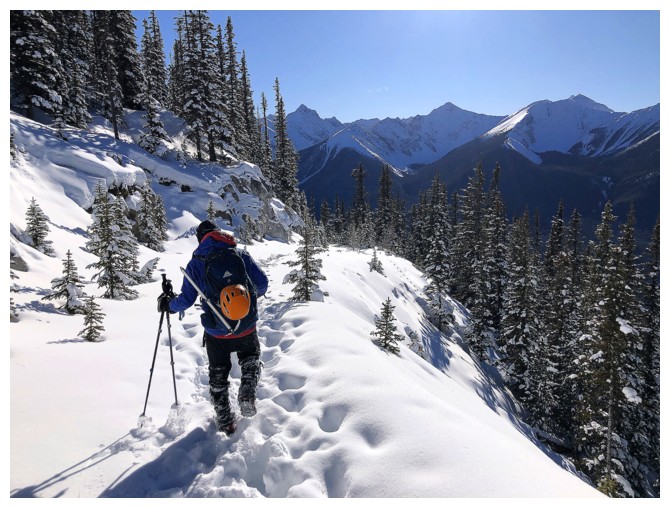
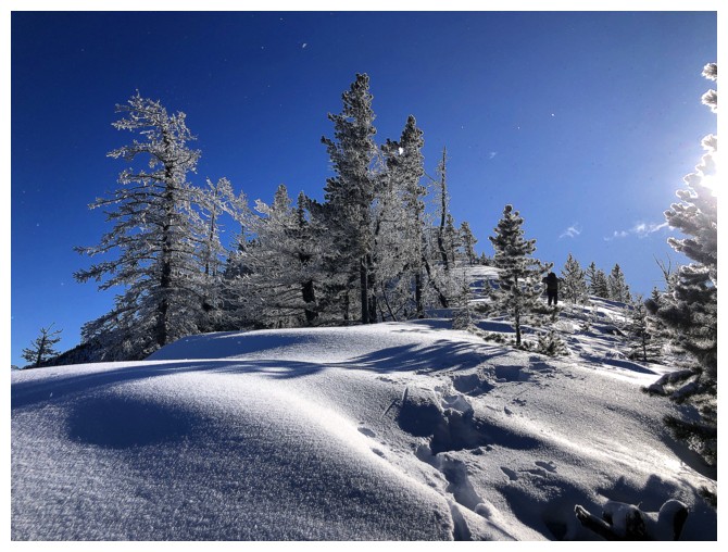
Into the trees again. The northwest ridge went on way longer than we
expected, though the strenuous trail-breaking definitely had a part in
that perception.
Out of that section of trees and staring at another
Mount Alymer and Lake Minnewannka
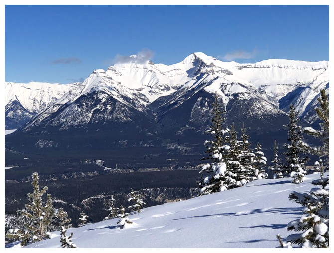
Mounts Inglismaldie and Girouard
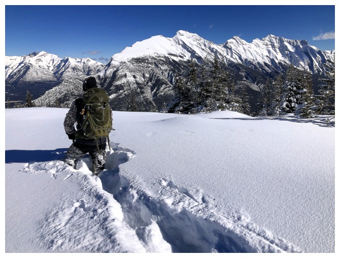
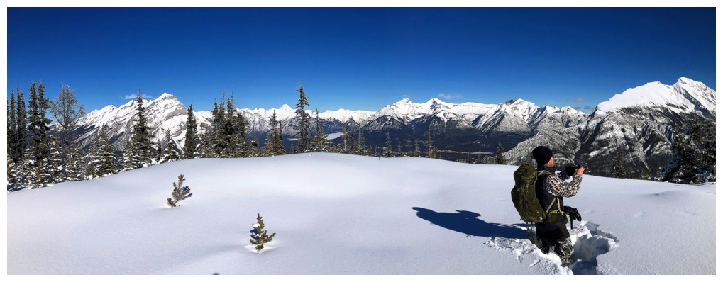
Success! Doug at the summit.
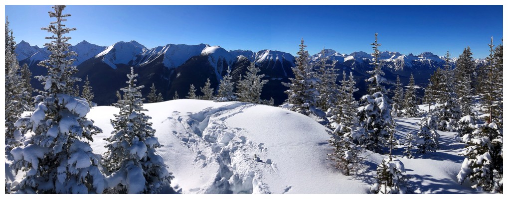
The semi-treed view to the west
Northeast to east
One of the highpoints of Mount Rundle
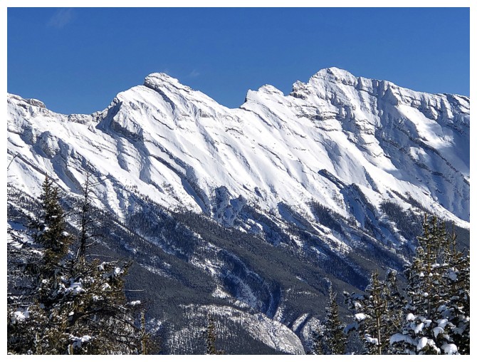
Two more
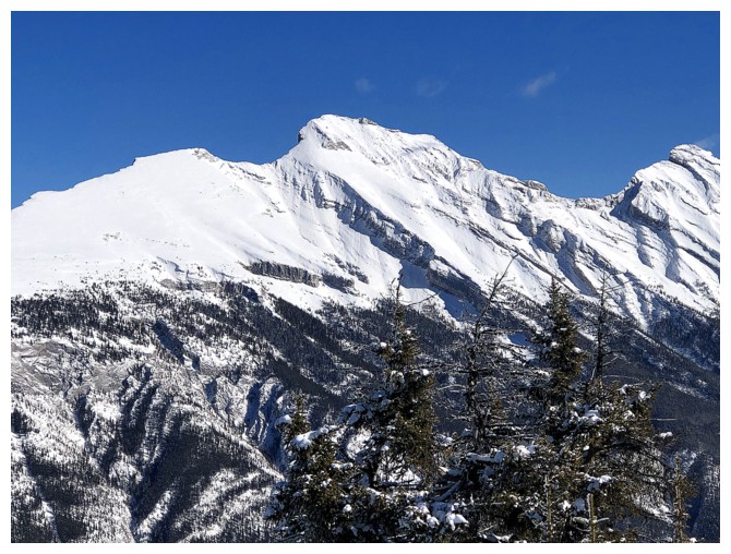
The Cosmic Ray Station is only about 700 horizontal metres away
Last look to the west
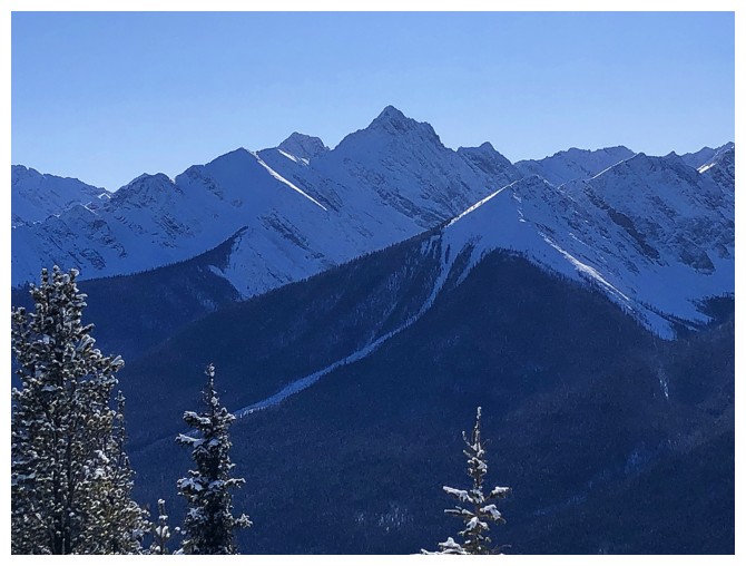
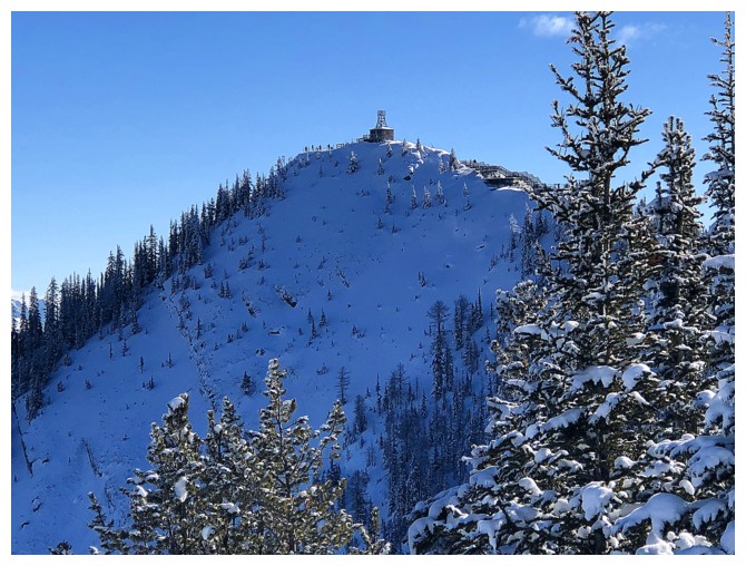
Sundance Peak is the highest point of the northern end of the range
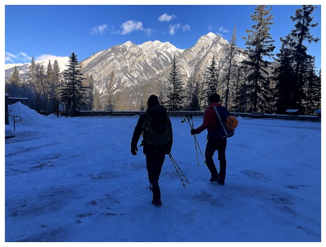
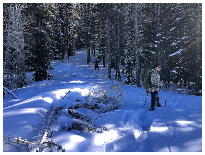
Finally on the access road
Easy travel but it's longer than you think back to the start
Same as above
Still going. It took about 2 hours to hike the road back to the Cave
and Basin parking lot, but at least that's a wrap for Sanson Peak!
The End
LOG