St.
Eloi Ridge
Macdonald Pass Peak
July 7, 2026
Mountain heights:
2280
m, 2250 m
Total elevation gain:
approximately 1400 m
Ascent time to St.
Eloi Ridge: 4:20
Side trip time
to lower point on St. Eloi Ridge: 0:50
Traverse time
to Macdonald Pass Peak: 1:45
Descent time
from Macdonald Pass Peak: 2:00
Solo scramble.
Driving towards
the Castle Mountain Ski Resort, my primary objective for the day was Mount
McCarty. McCarty is a somewhat nondescript peak that doesn’t scream, “Climb
ME!” – it likely resides on most hiker/scrambler’s, “When I’ve done everything else in
the area” list. Nevertheless, the mountain has a 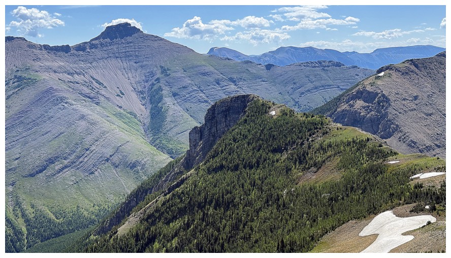 beautiful lake on its
northeast side and has gained a measure of popularity since Dave McMurray,
Jeff Lang, and Bob Spirko made an ascent in 2014 and posted
their accomplishment online – note that because of a road closure and lack of a
trail, their route was significantly longer and more challenging than an ascent in
present day would be.
beautiful lake on its
northeast side and has gained a measure of popularity since Dave McMurray,
Jeff Lang, and Bob Spirko made an ascent in 2014 and posted
their accomplishment online – note that because of a road closure and lack of a
trail, their route was significantly longer and more challenging than an ascent in
present day would be.
Unfortunately,
my intended route would not visit the lake. I wanted to bike/hike to Macdonald
Pass first, thus giving me the option to pick either McCarty or St. Eloi Ridge
or both. St. Eloi Ridge, a minor highpoint north of St. Eloi Mountain, was
brought to my attention by Devan Peterson. Devan had completed yet another jaw-dropping,
Herculean day trip ascending Mount McCarty, Macdonald Pass Peak, St. Eloi
Ridge, Mount Hollebeke, North Kootenay Point, and North Kootenay Mountain (a.k.a.
Centre E3 or Big Rock Mountain) in one fell swoop – in the words of Ivan Drago (Rocky IV), “He’s not human, he’s
like a piece of iron.”
The biking part
of the trip went better than expected. I was able to cycle to within one
kilometre of Macdonald Pass, 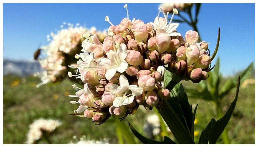 although I almost missed the turn-off because the
trail sign is no longer there. Also, to clarify, I was able to E-BIKE this
distance! On a regular bike, my two-wheel journey would have ended a short
distance up the Macdonald Pass trail, at the first sign of steep, uphill travel.
En route to the pass I had decided to make St. Eloi Ridge the primary
objective, with the option to tag McCarty after.
although I almost missed the turn-off because the
trail sign is no longer there. Also, to clarify, I was able to E-BIKE this
distance! On a regular bike, my two-wheel journey would have ended a short
distance up the Macdonald Pass trail, at the first sign of steep, uphill travel.
En route to the pass I had decided to make St. Eloi Ridge the primary
objective, with the option to tag McCarty after.
From Macdonald
Pass, gaining the St. Eloi Ridge proved to be more challenging than expected.
The lower slopes were easily ascended on stable scree, but the middle part
reared up to fairly steep angles and the footing became more precarious. Above
that, easier treed slopes led to the ridge and a wonderful view.
The trek to the
summit of St. Eloi Ridge appeared to be a pleasant and easy ridgewalk, with
several ups and downs. And that’s exactly how it played out. The additional
pleasant surprises on this ridgewalk were a proliferation of wildflowers and
unique views of the north side of St. Eloi Mountain and the west side of
Syncline Mountain. The Flathead Range to the northwest also provided plenty of
photo fodder.
Thankfully, a
cool breeze staved off potential hear exhaustion, on this sweltering day, 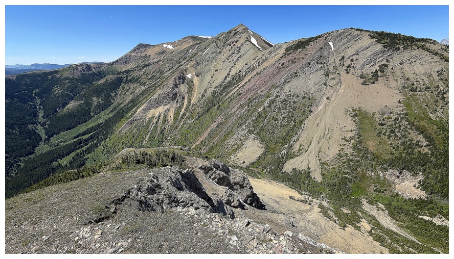 but
as I dragged myself towards the summit, any hope of reaching the top of McCarty
was circling the proverbial bowl. I am not a piece of iron – closer to a piece
of partially melted fudge! Given that I would have liked to visit the shores of the lake under
McCarty anyway, this was not a terribly disappointing turn of events.
but
as I dragged myself towards the summit, any hope of reaching the top of McCarty
was circling the proverbial bowl. I am not a piece of iron – closer to a piece
of partially melted fudge! Given that I would have liked to visit the shores of the lake under
McCarty anyway, this was not a terribly disappointing turn of events.
In addition to
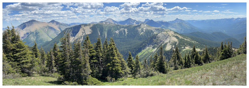
excellent views of St. Eloi and Syncline, the summit panorama featured
wonderful views of the southern part of the Flathead Range and northern end of
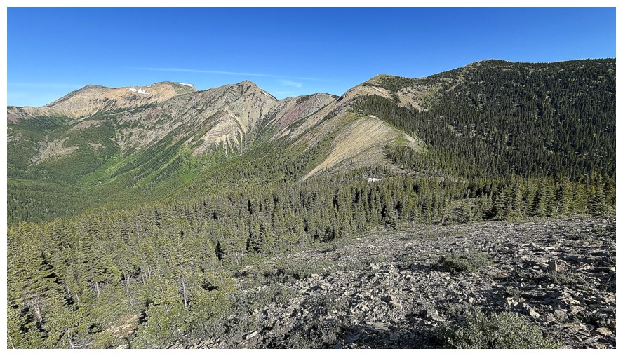
the Lewis Thrust Fault. The red and green argillites giving way to the grey
limestone is always fascinating.
With McCarty
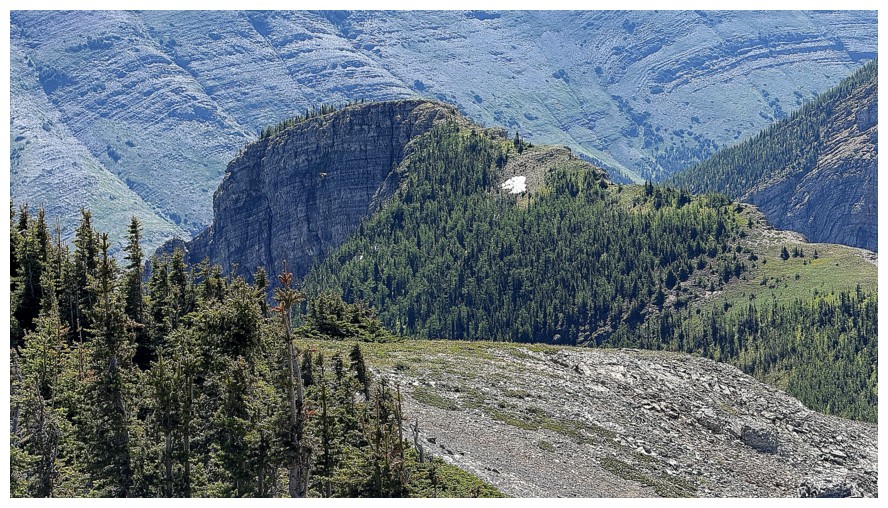
off the table I now had time to explore the ridge further to the southeast. A
lower highpoint, with steep cliffs on its north
side, looked appealing. The side-trip took about an hour and offered another round of interesting
views and rock scenery. I then hiked back to the point where I had gained the ridge
from Macdonald Pass.
Of course, an
ascent of unofficial Macdonald Pass Peak was almost mandatory at this point,
requiring less than 100 metres of elevation gain. The partially treed summit
was a pleasant diversion, but very few people, if any, would make it their only
objective. I took a slightly longer and less steep route back down to the
Macdonald Pass trail and then enjoyed an easy and quick descent.
A thoroughly
enjoyable trip – not one that I’m likely to repeat, but I’m super glad to have
done it. Thanks for the inspiration, Devan!
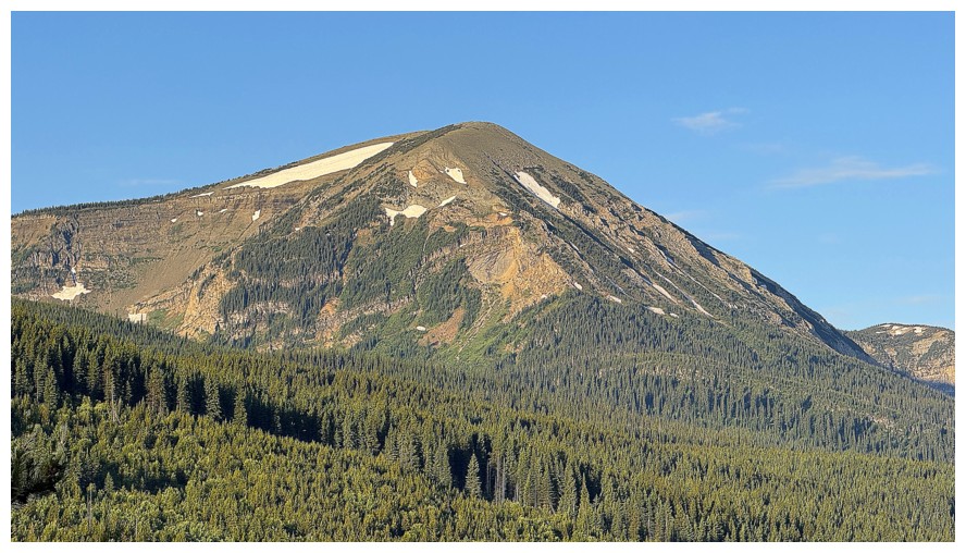
Mount McCarty
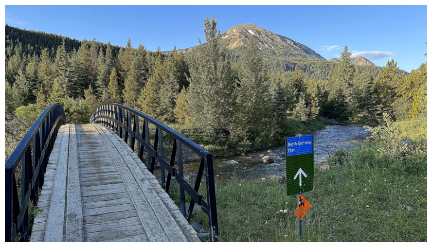
At the start of the North Kootenay Pass trail, though the trip starts several kilometres before
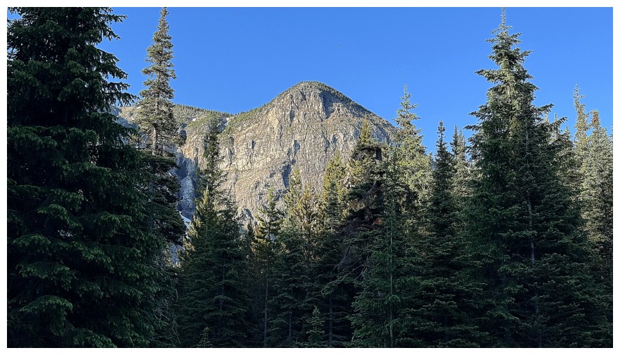
Glimpse of Macdonald Pass Peak
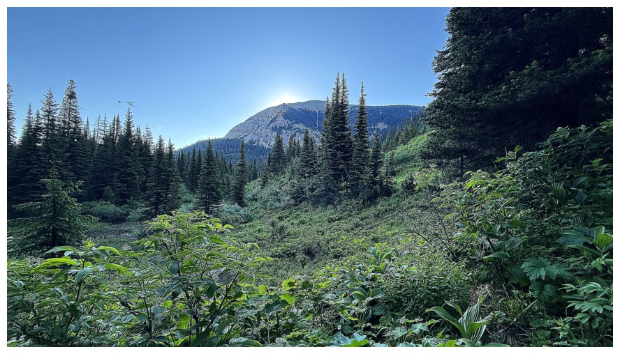
The northwest side of McCarty from the end of the bike approach
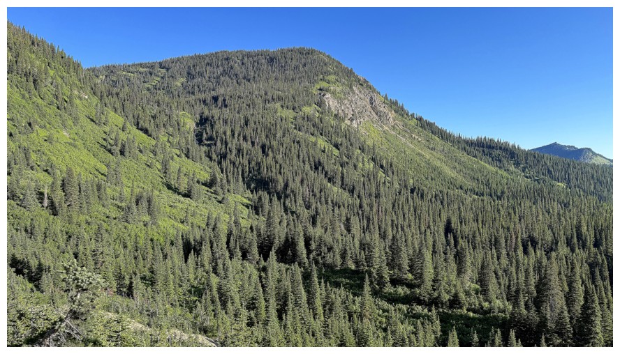
The theme for much of the day was lush scenes of green
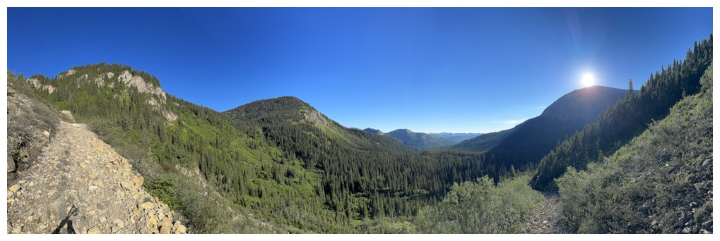
Macdonald Pass at the left, McCarty at the right
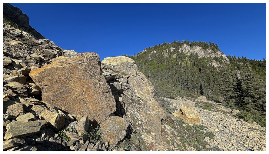
Beautiful rock that is not red argillite!
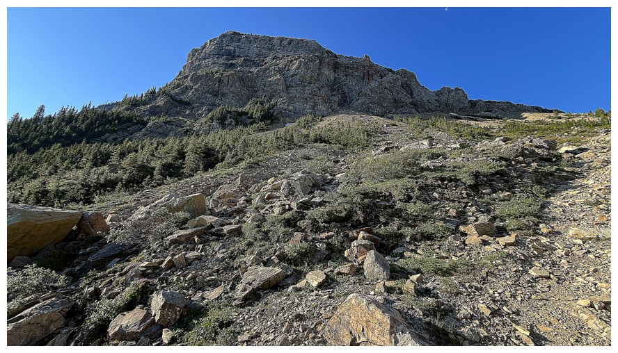
The steep northeast side of Macdonald Pass Peak
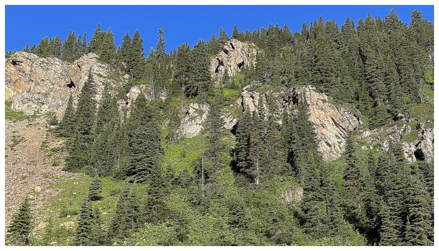
More green and rock
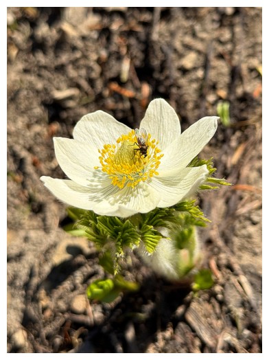
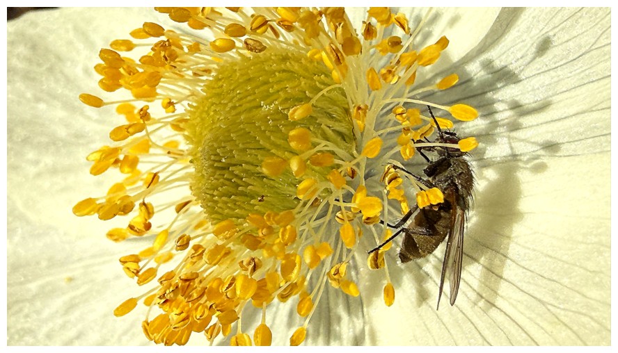
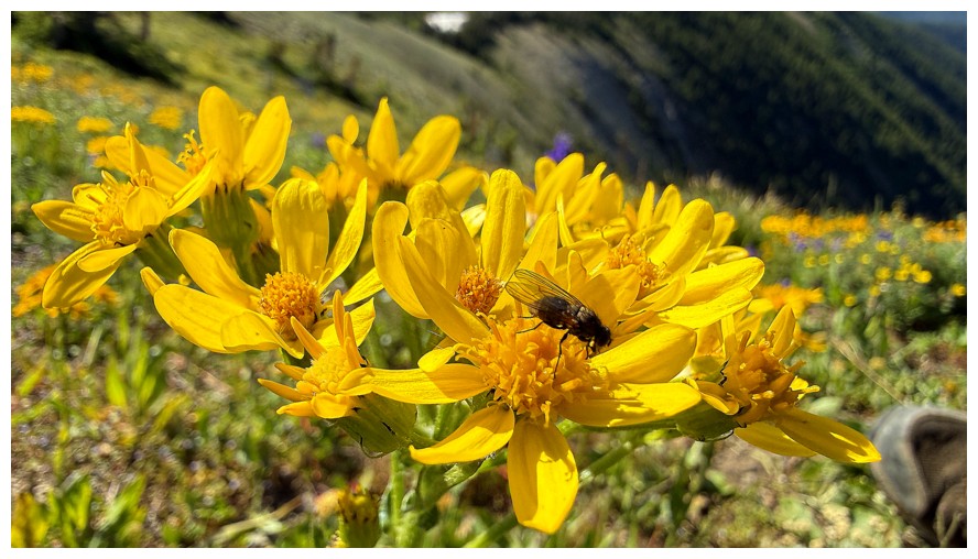
Fly on a flower
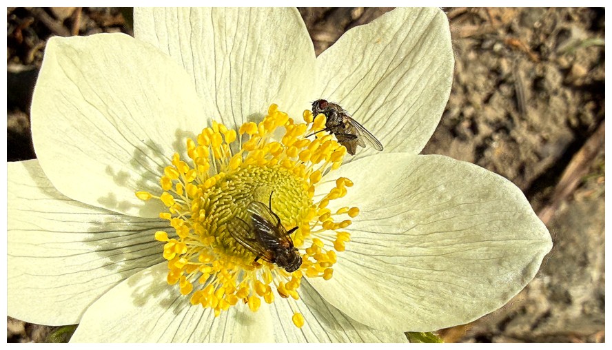
A couple of butterfly pollinators would have been preferable, but that's my own prejudice!
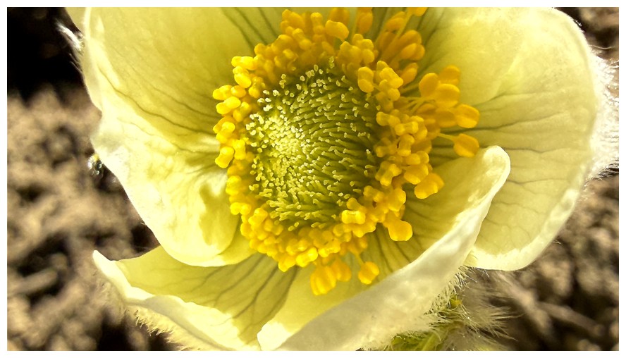
No flies
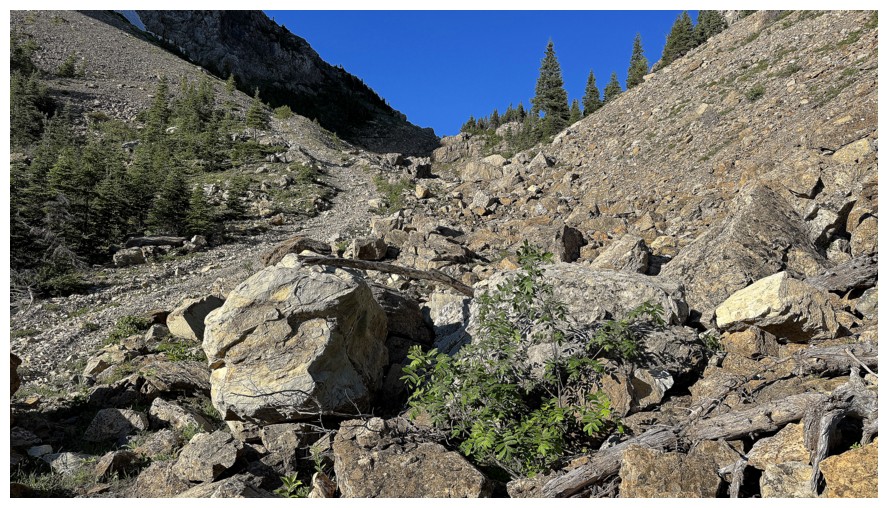
Approaching Macdonald Pass
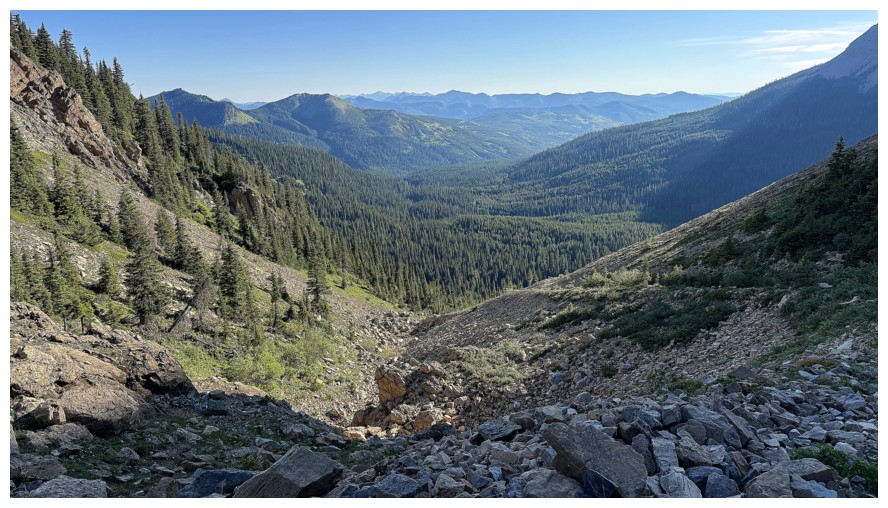
Looking back
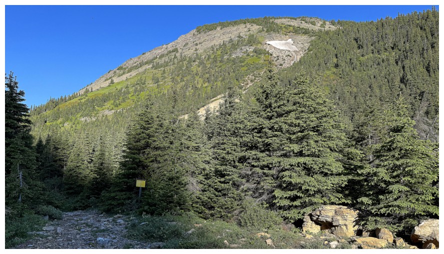
The outlier on the west side of the pass
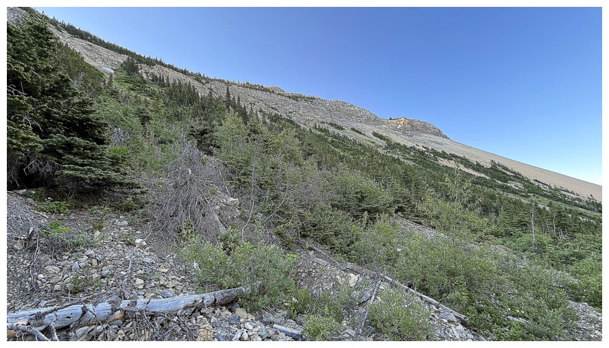
The ascent terrain to St. Eloi Ridge on the east side of the pass
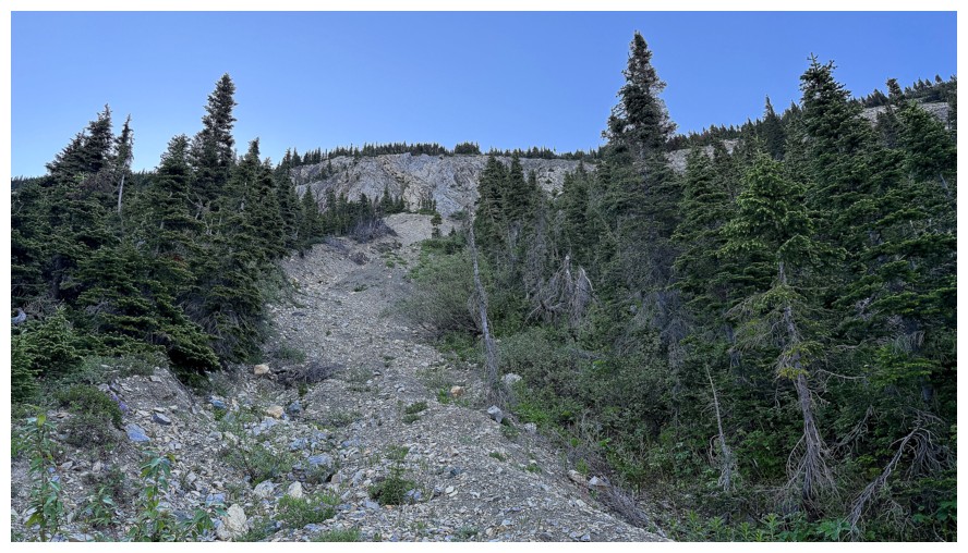
Heading up to the ridge
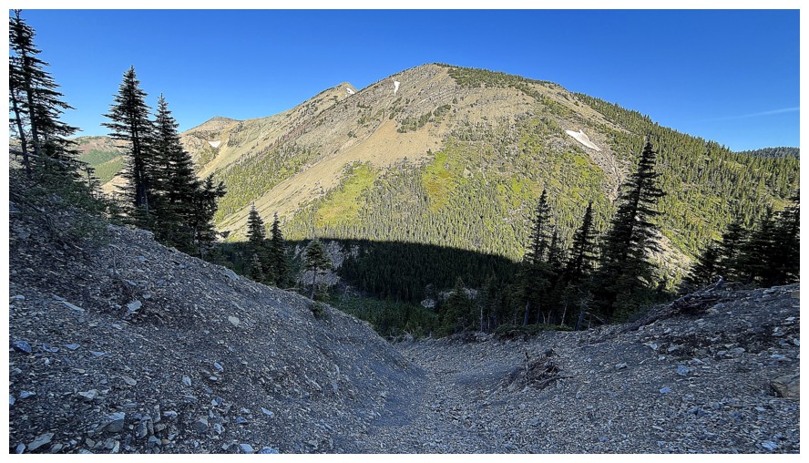
The other outlier west of the pass can now be seen
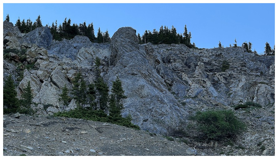
The terrain gets more interesting higher up
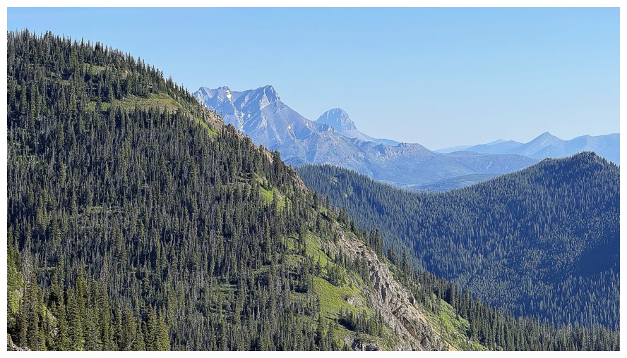
Peaks of the Flathead Range start to appear
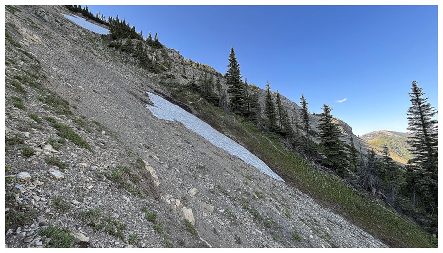
The grade steepens
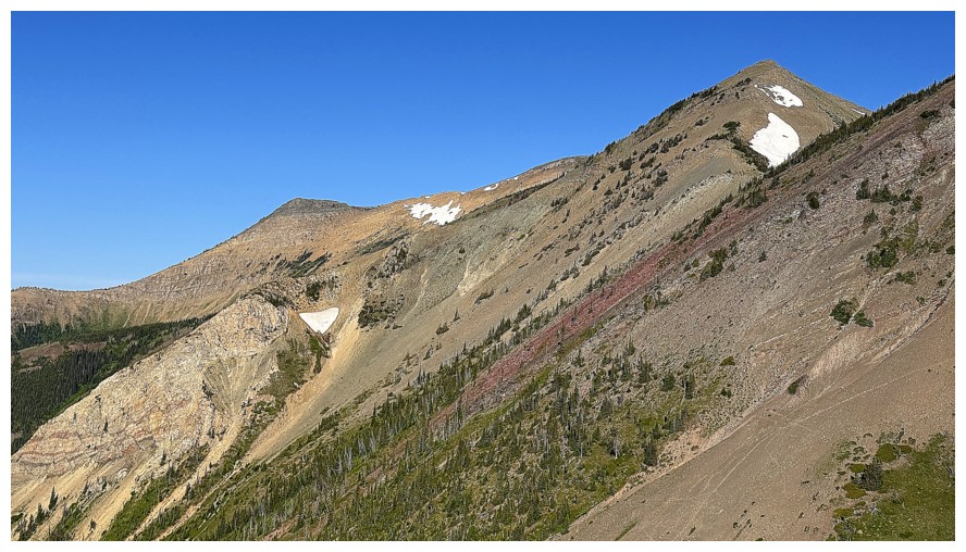
More outliers to the west but the summit block of Hollebeke Mountain is still not completely visible
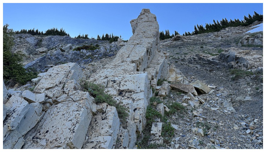
Cool fin of rock
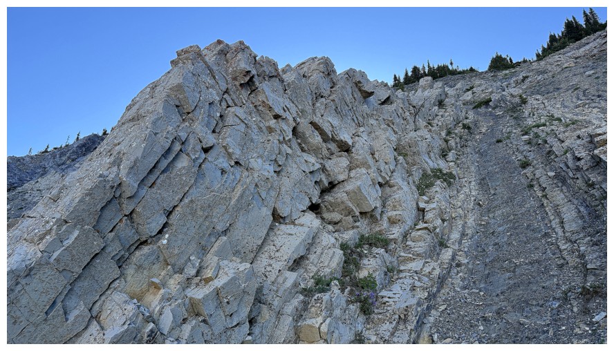
From a different angle
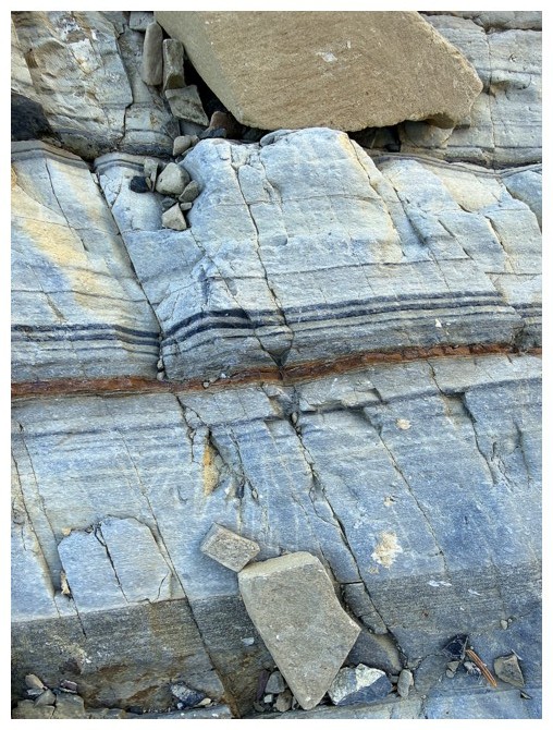
The fascinating geologic story of rock layers
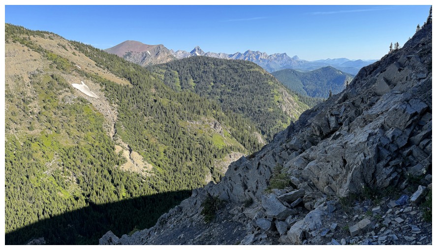
A bunch of other mountains pop up
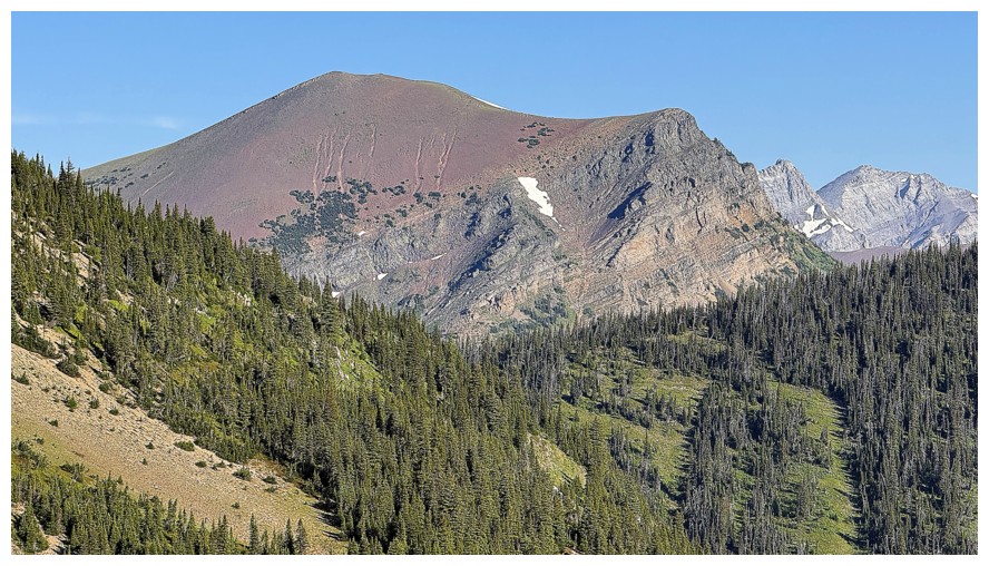
North Kootenay Mountain (a.k.a. Centre E3, Big Rock Mountain). There are several terrific lines up this peak near its right side.
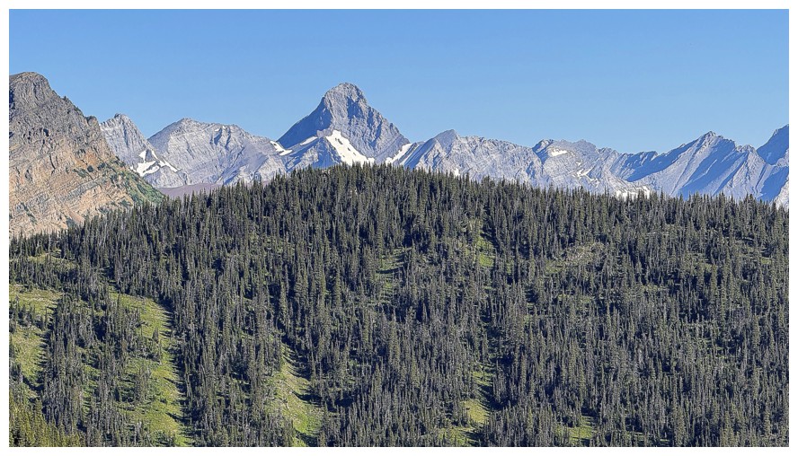
Mount Darrah always stands out
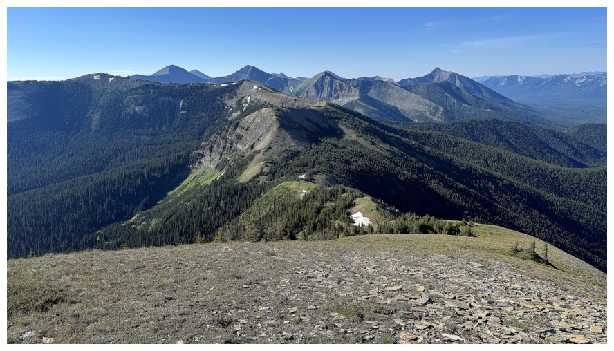
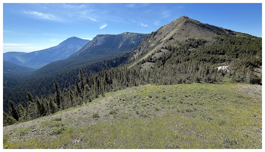
On the ridge and looking at the route ahead. The summit of St. Eloi Ridge is the small bump at the far left.
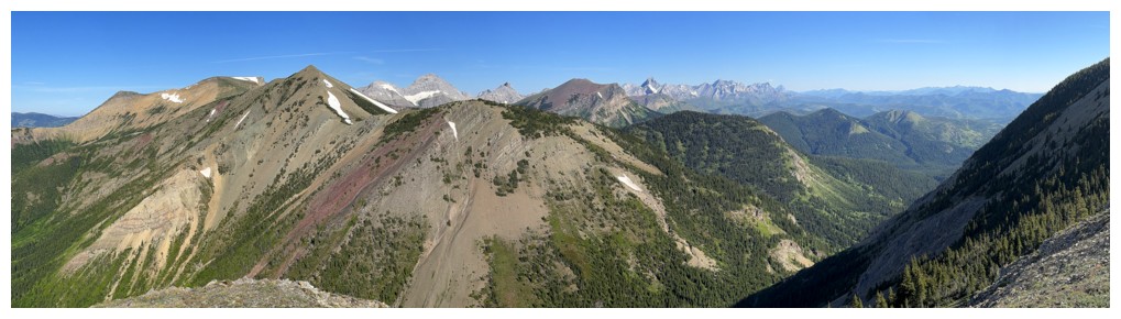
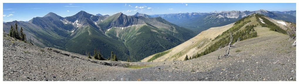
Pano to the northwest
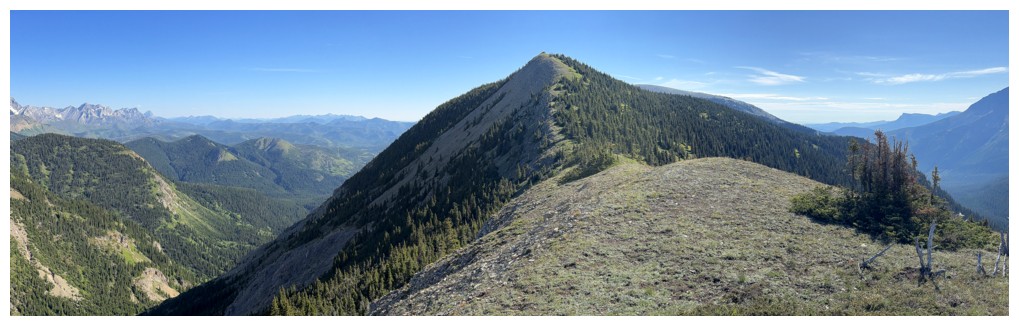
Macdonald Pass Peak to the north
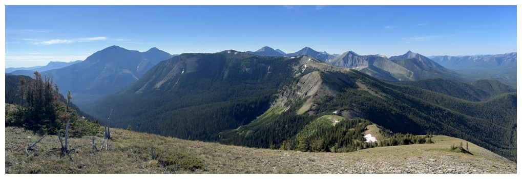
Pano to the south
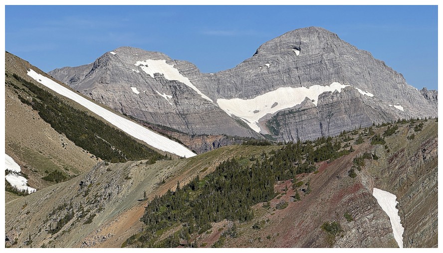
South Flathead Peak (left) and Centre SE1.5
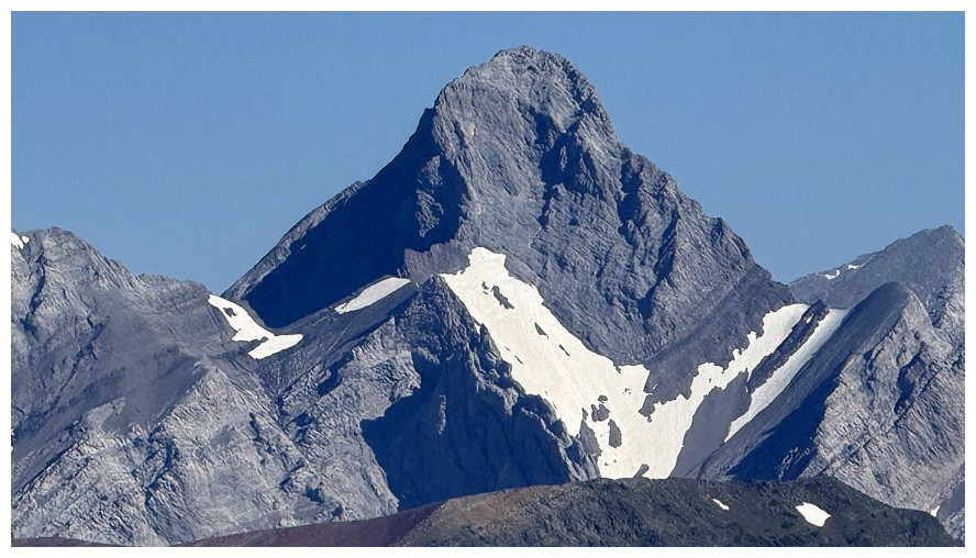
Close-up of Darrah
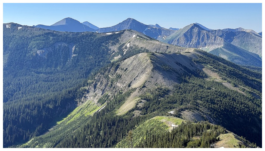
Getting ready to lose a fair amount of elevation
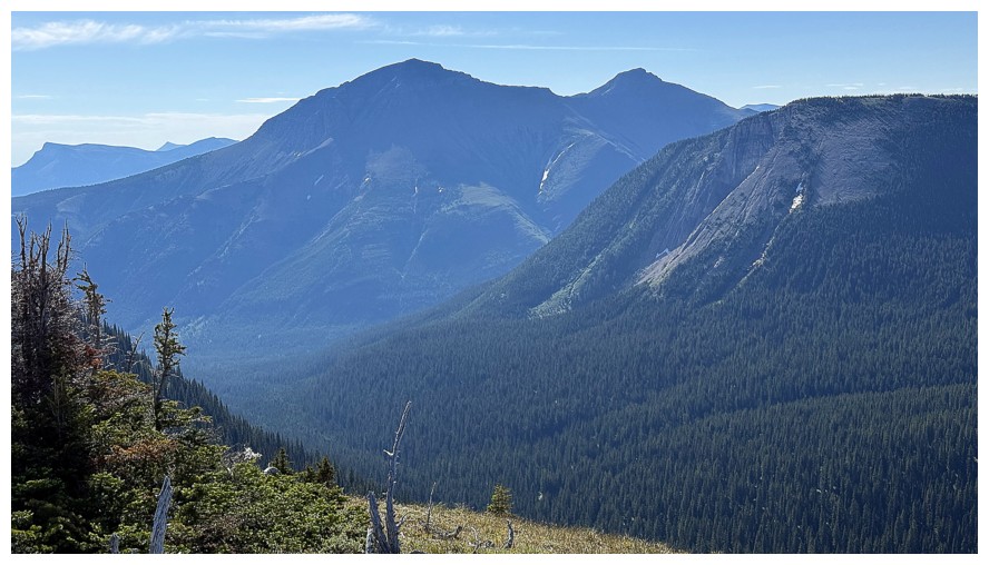
The west side of Syncline Mountain
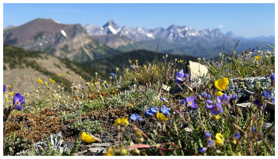
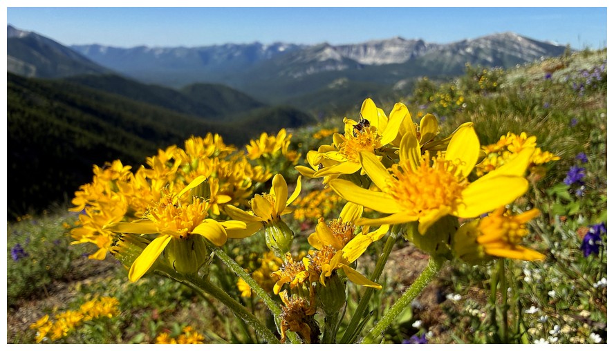
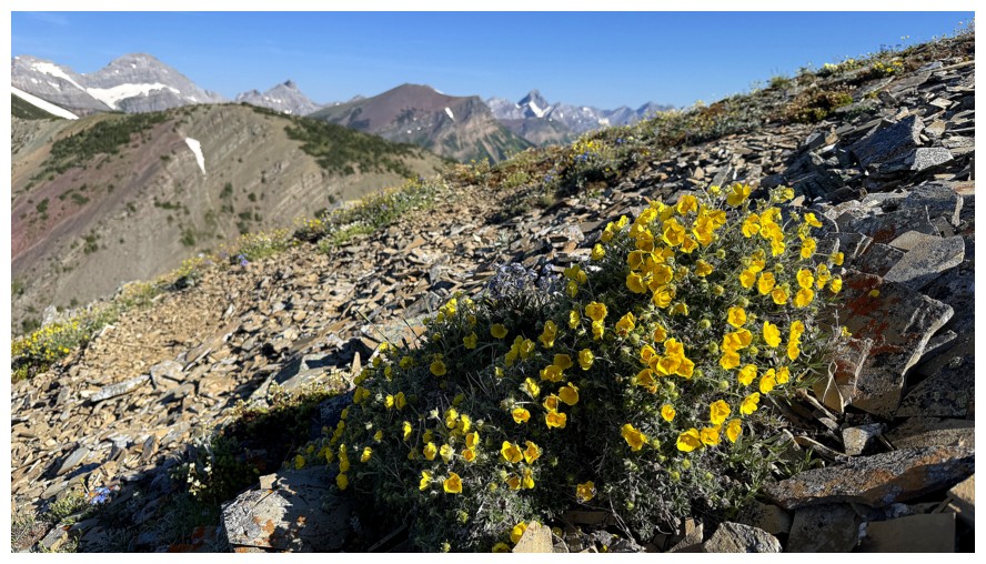
Wildflower season is upon us
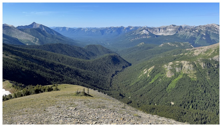
View to the southwest and there's some movement on the ridge below
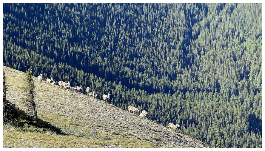
It's a herd of sheep
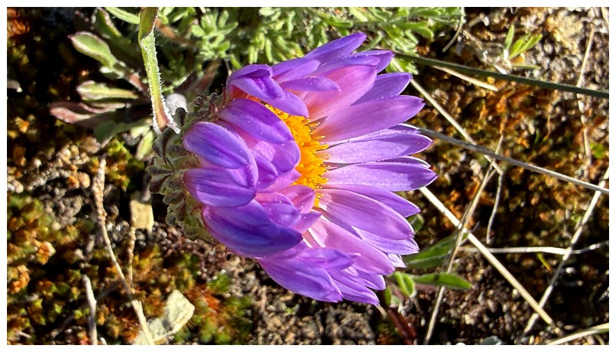
Flower close-up
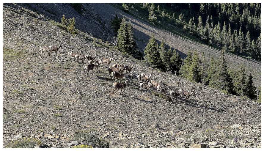
The sheep again
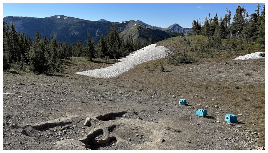
Surprised to see salt licks up here. Had I been low on electrolytes......
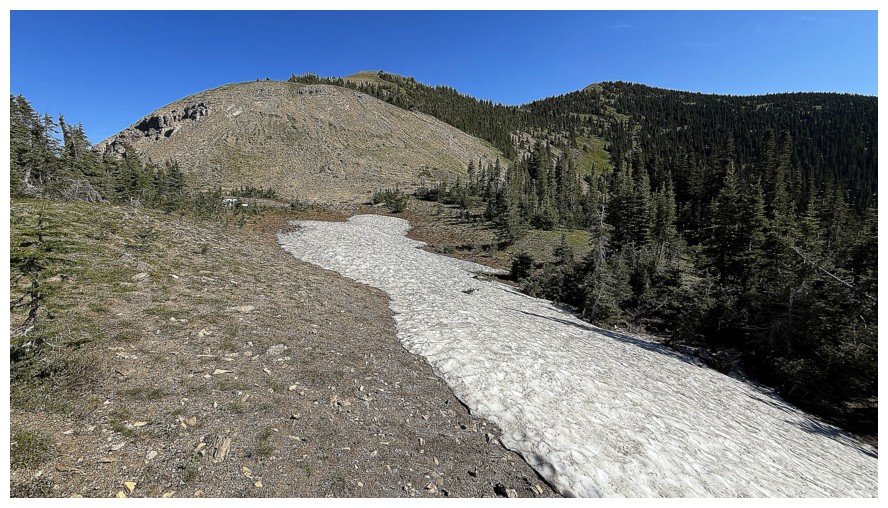
Also surprised to see any snow
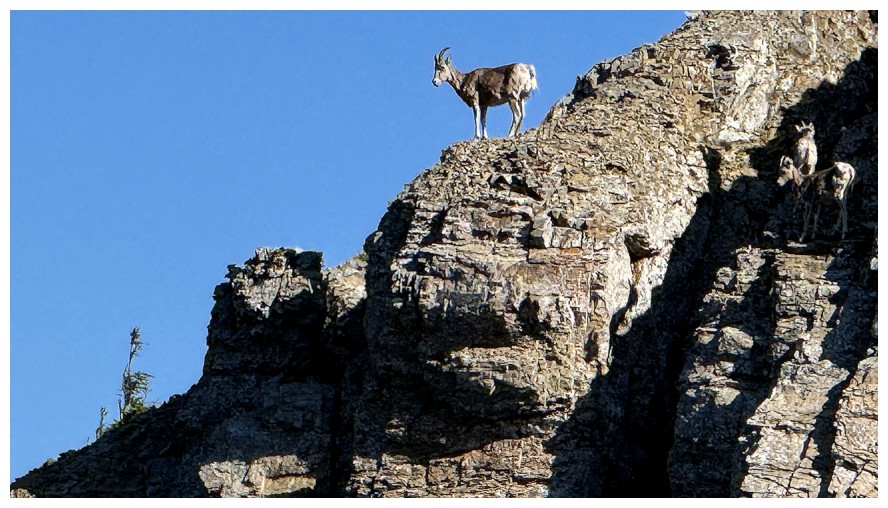
Poser
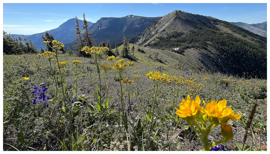
Stopping to photograph wildflowers has become my new favourite way to catch my breath
Almost at the lowpoint
Looking back as I head upslope again
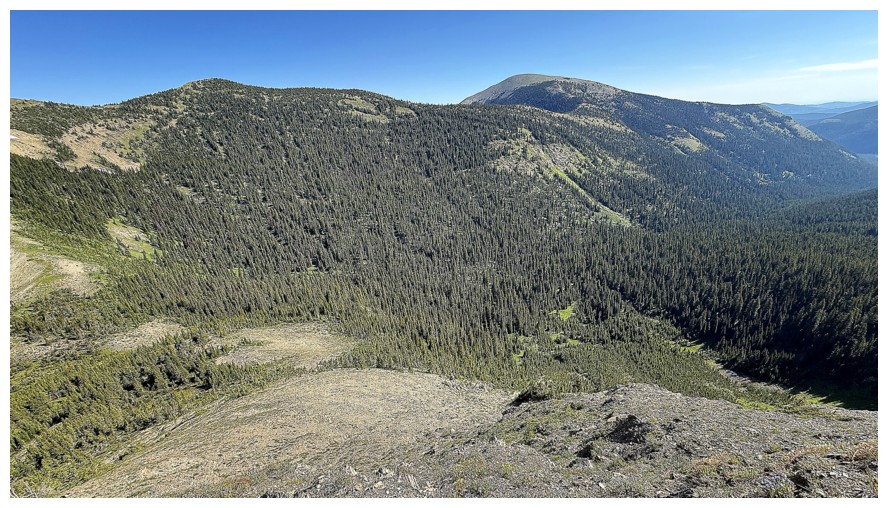
Same as above with McCarty near the right
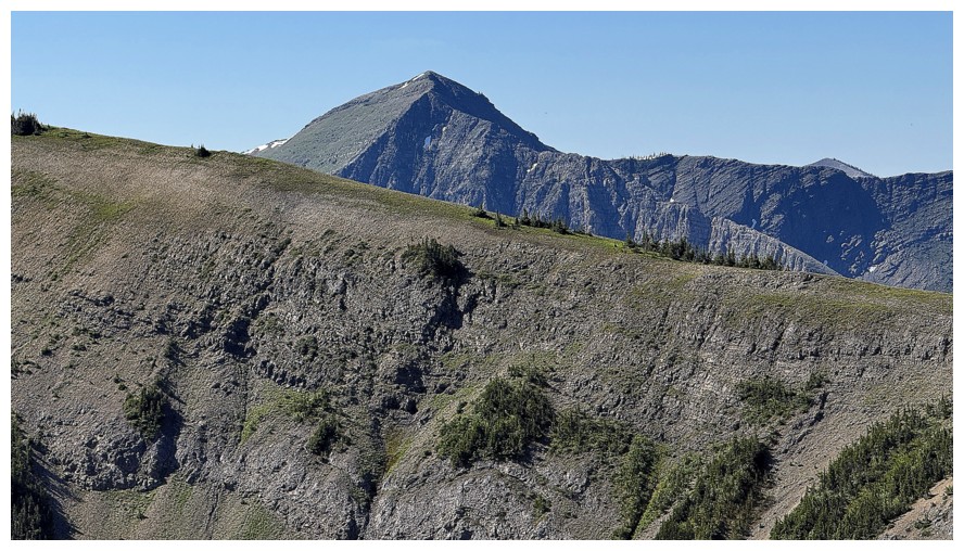
A western outlier of St. Eloi Mountain
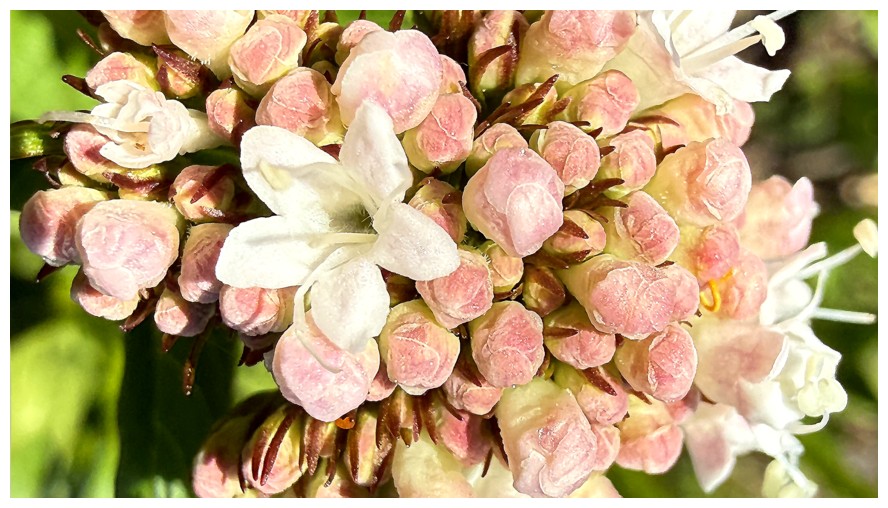
I must need oxygen
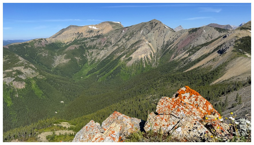
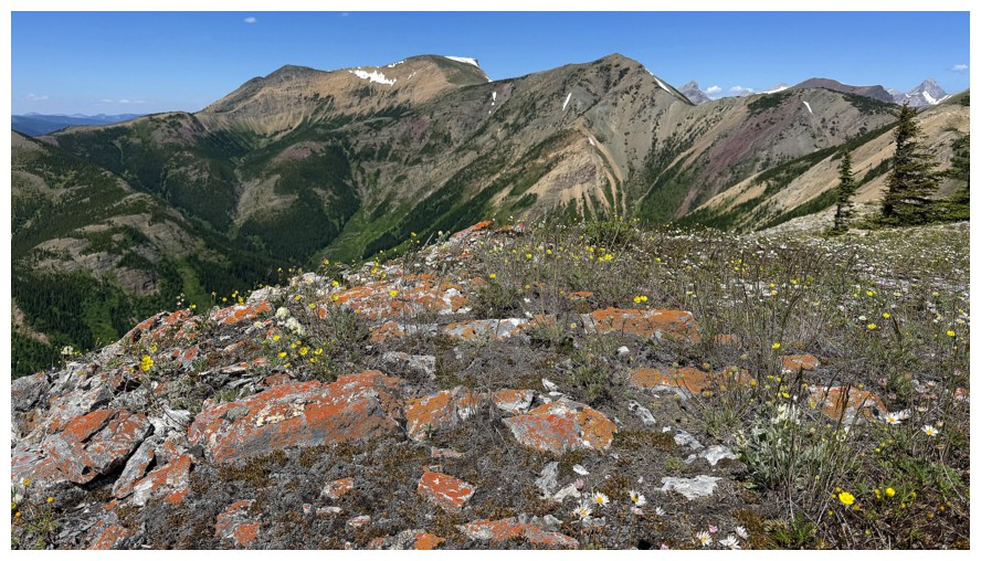
Orange lichen is also a good stopping excuse
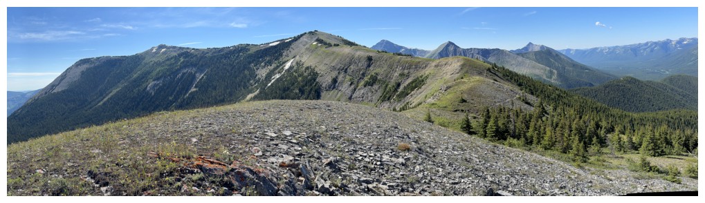
Pano from a highpoint before another elevation loss
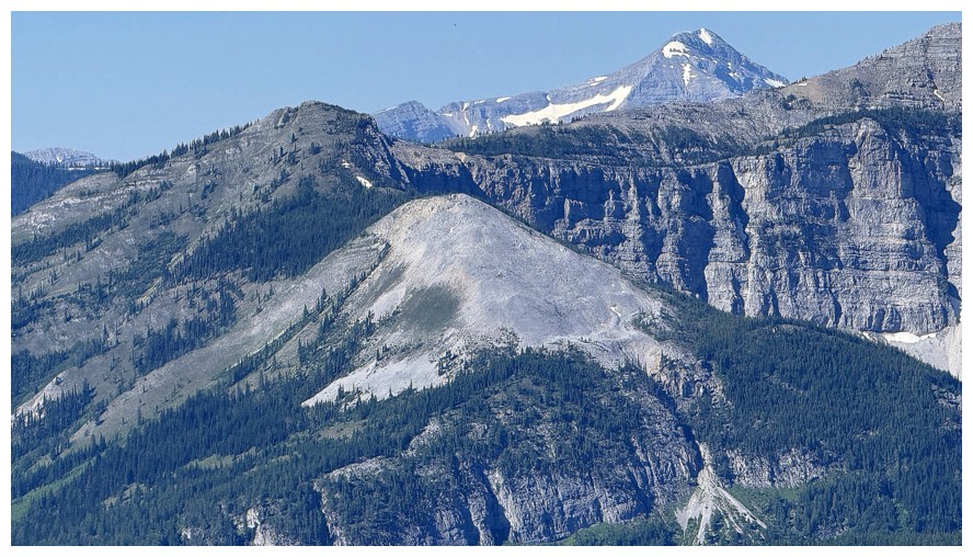
Nice peaks to the southwest; not sure what they are.
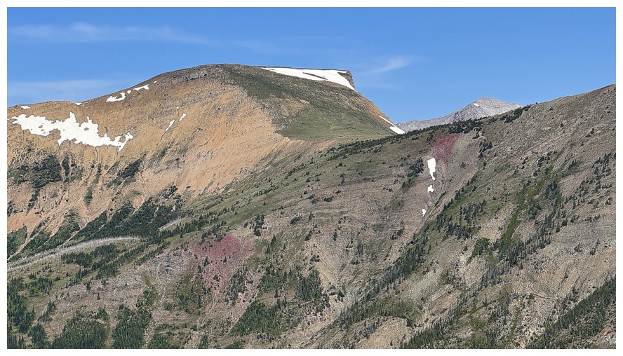
Hollebeke Mountain
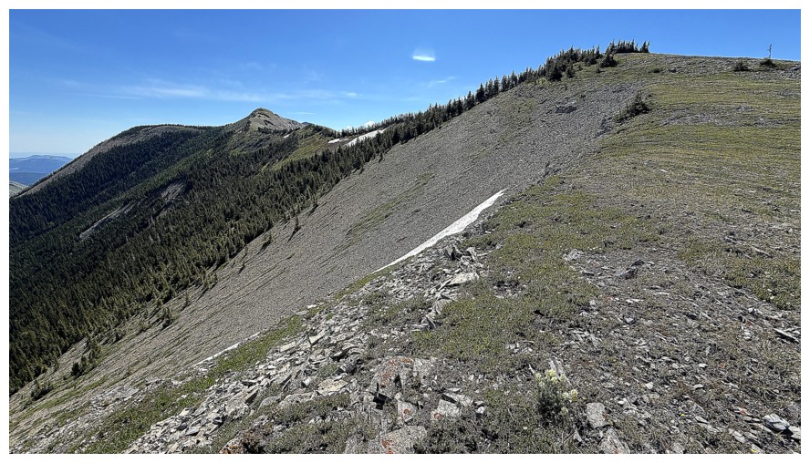
Going up again. The summit is near the left.
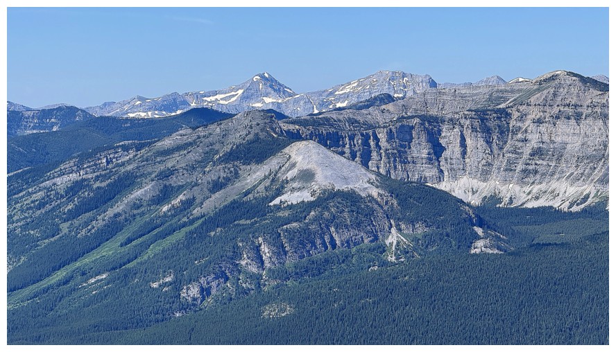
Another view to the southwest
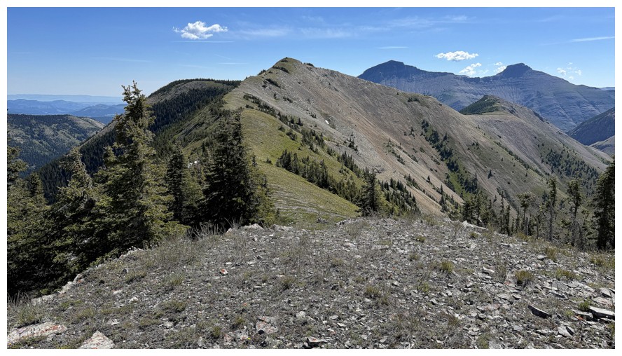
At the final highpoint, before an enjoyable ridgewalk to the summit
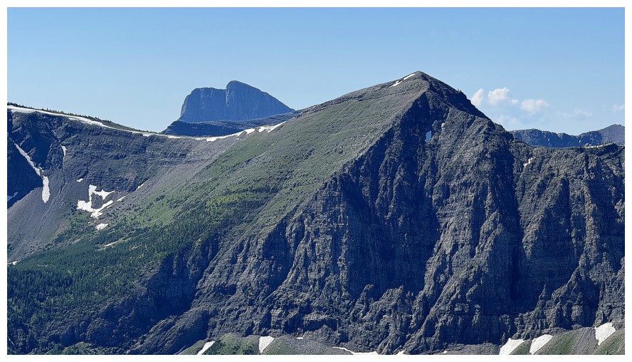
Tombstone Mountain peeks over the outlier
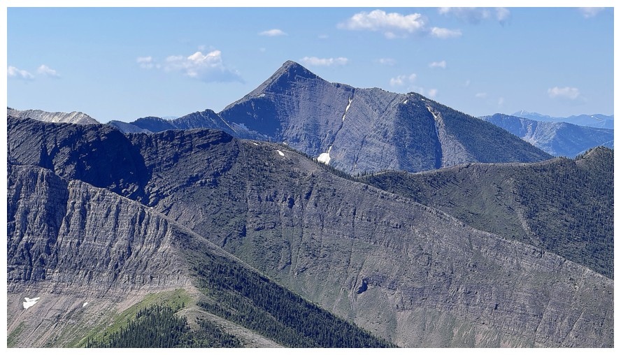
Packhorse Peak
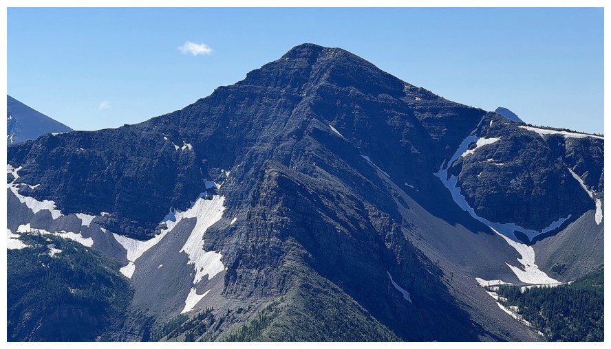
St. Eloi SW1 - fantastic trip!
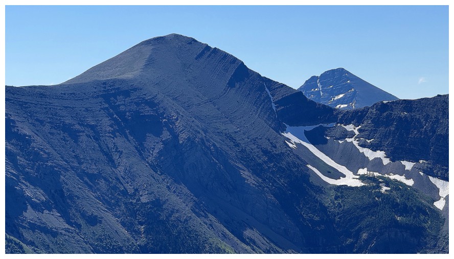
St. Eloi, with Mount Haig behind
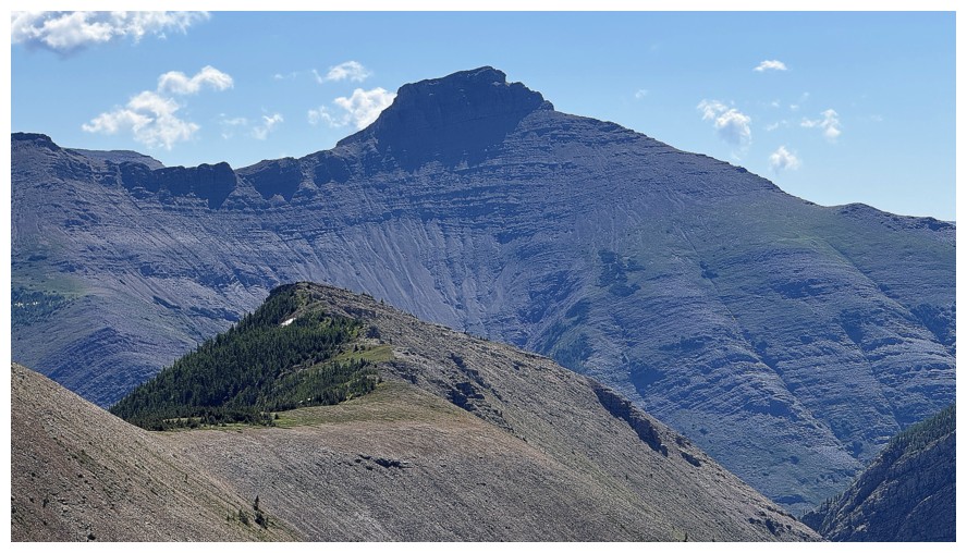
The 2nd summit of Syncline Mountain
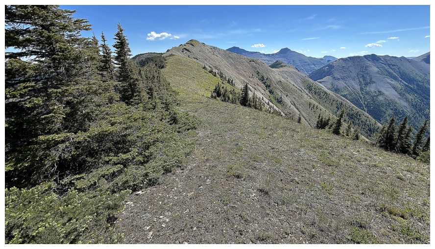
Start of the final push to the summit
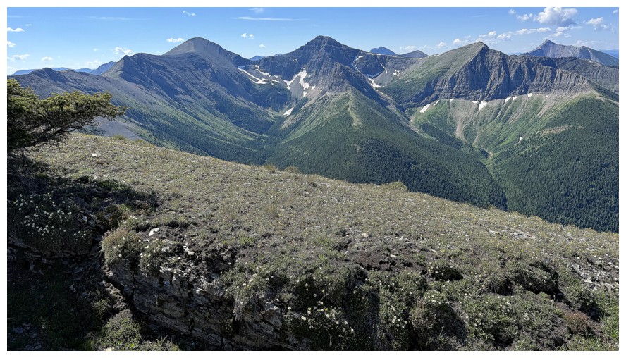
Views of all the aforementioned mountains are good company throughout
Summit panos
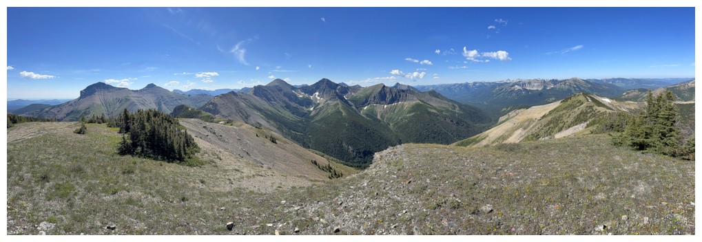
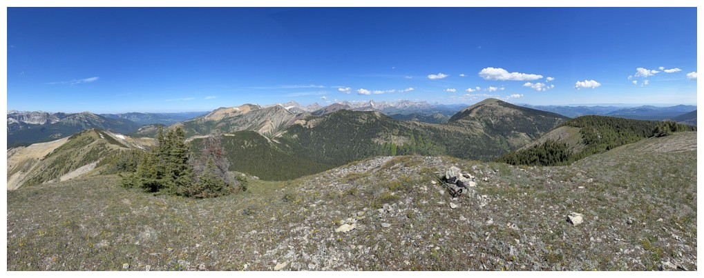
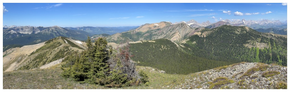
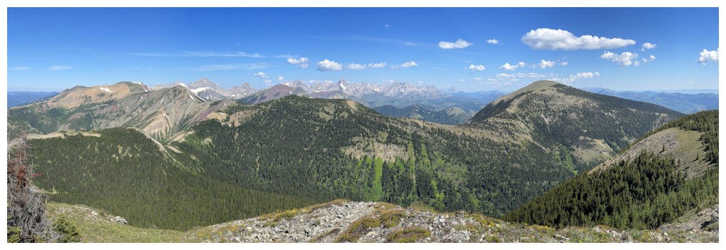
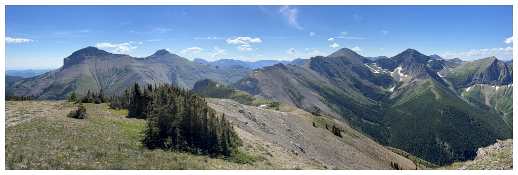
My next destination
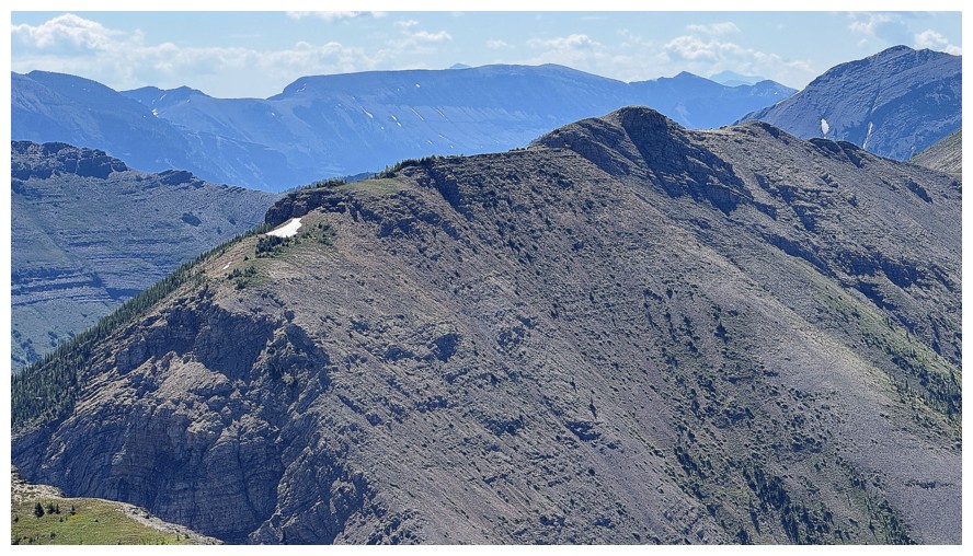
This ridge eventually leads to St. Eloi
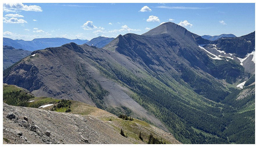
All of the route there - it's a long way
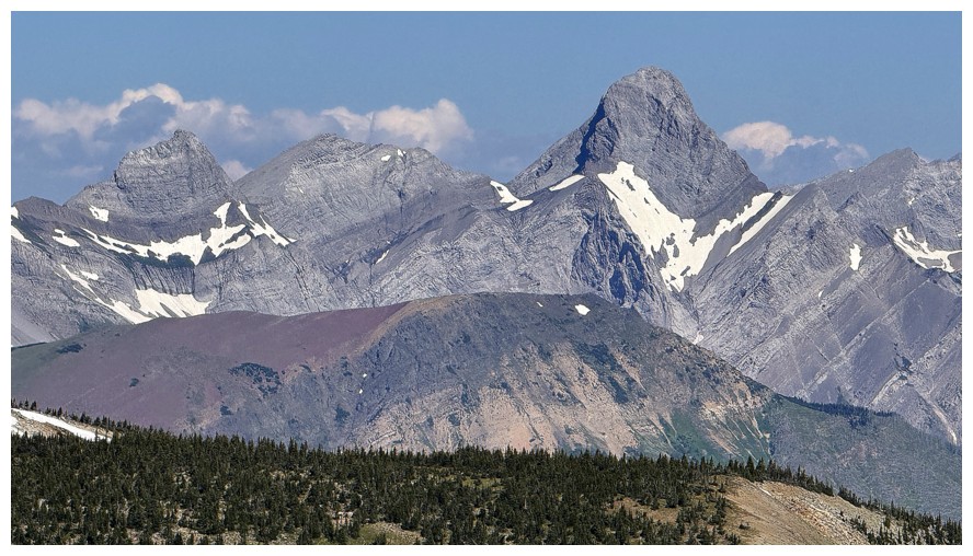
North Kootenay, Darrah, and outliers
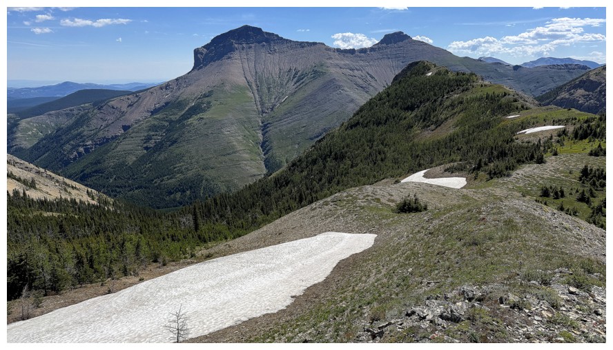
Another elevation loss, but it's not a big one
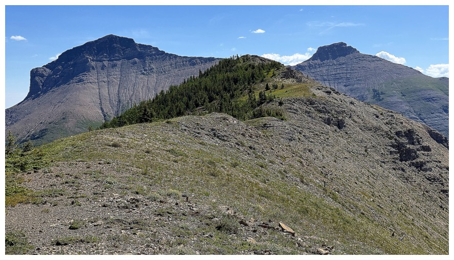
The highest summit of Syncline at the left
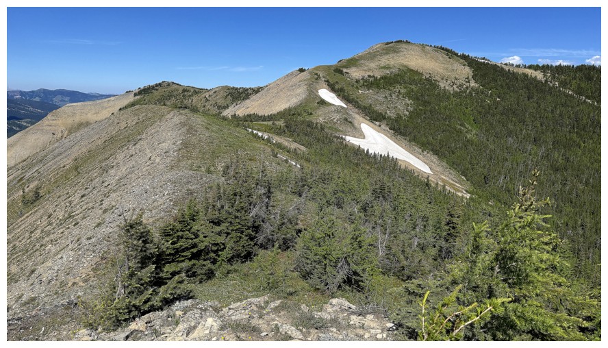
Looking back to the summit
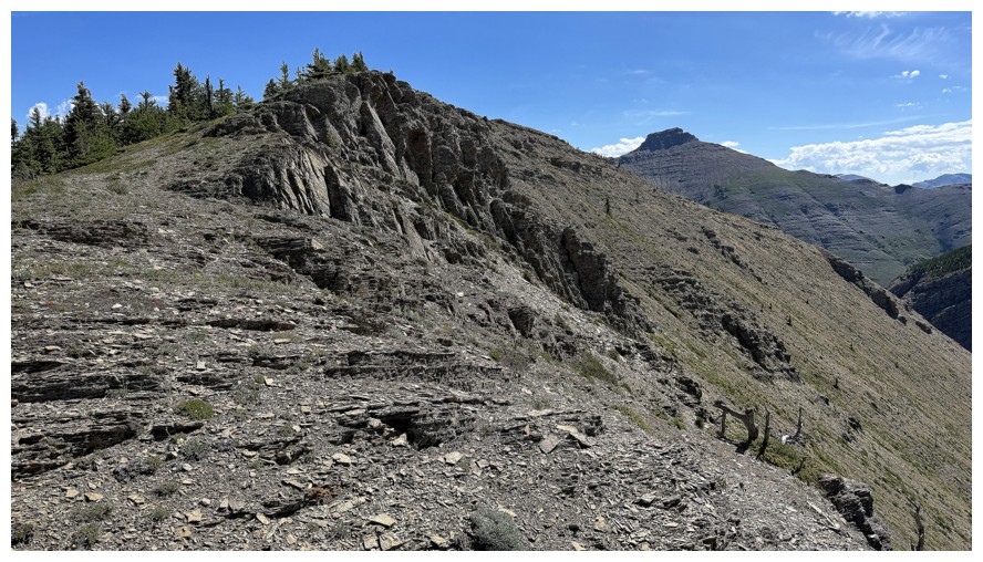
Almost at the highpoint
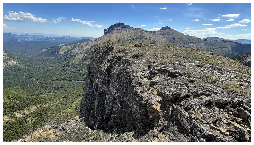
There's a huge, vertical cliff on the north side of the highpoint
Highpoint panos
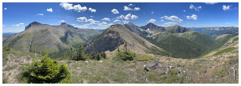
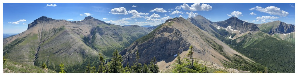
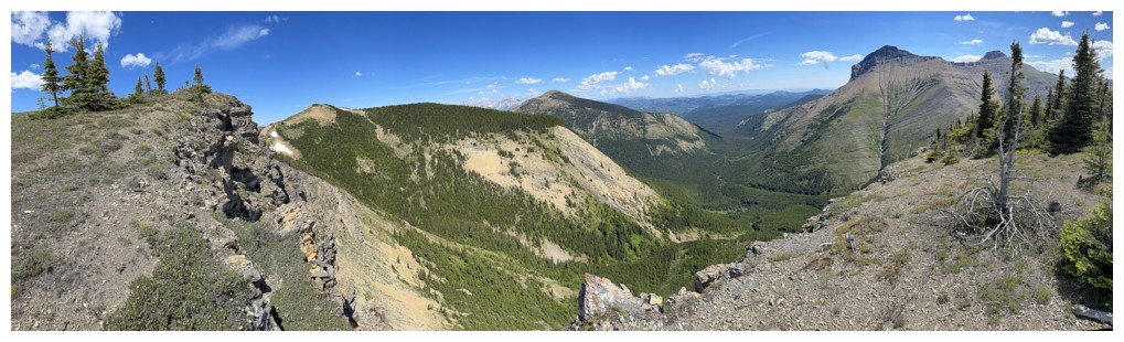
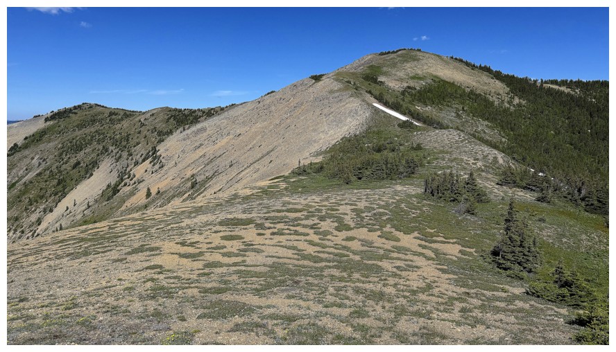 Returning
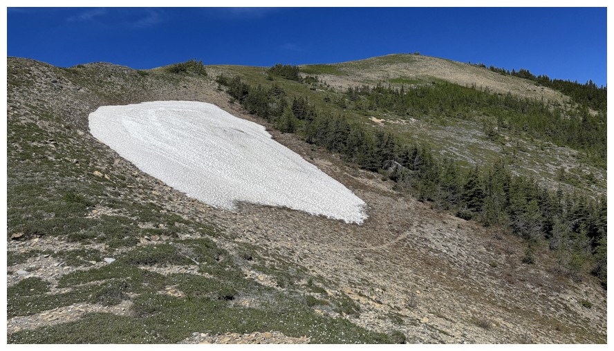
Another mysterious snow patch!
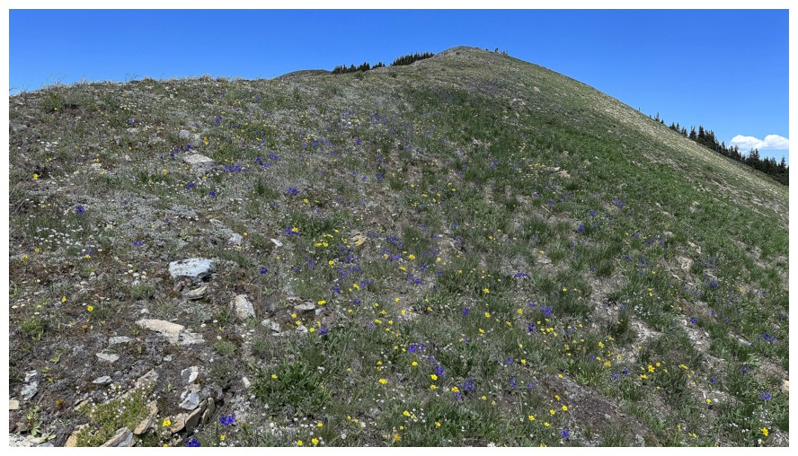
Wildflowers again but I'm to lazy for any close-ups
Round 2 of summit panos, just because
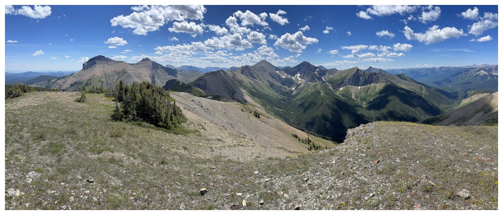
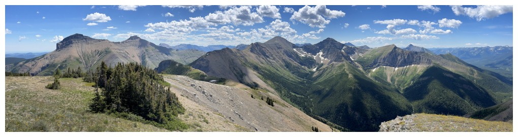
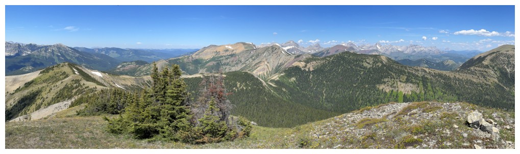
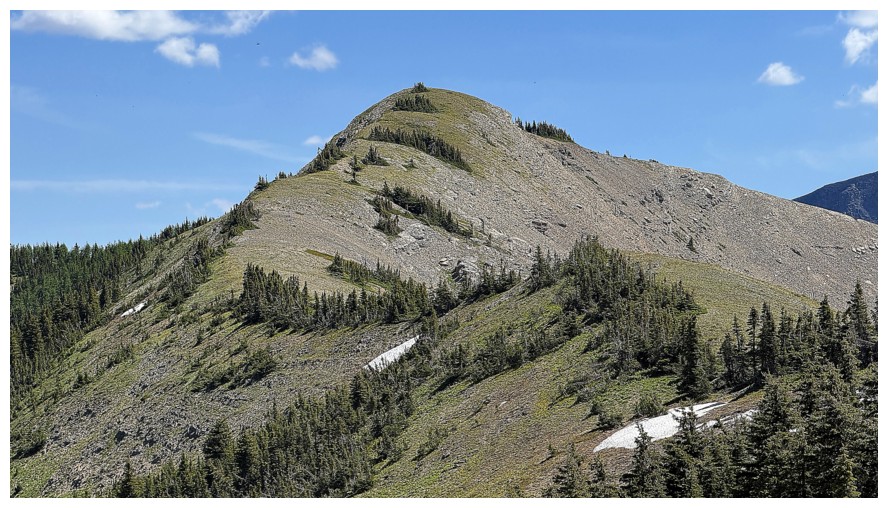
Looking back at the summit on descent
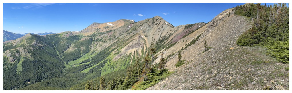
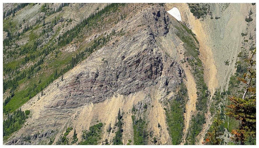
There's some red argillite
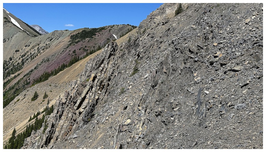
Rock that's been pushed up to an almost vertical orientation
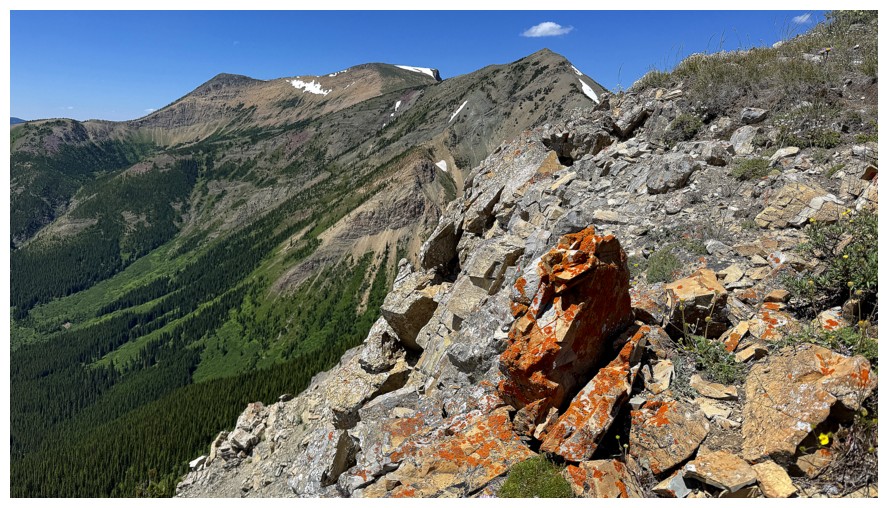
I must be out of breath, yet again
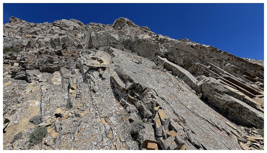
One of very few rock bands I encountered close-up during the trip
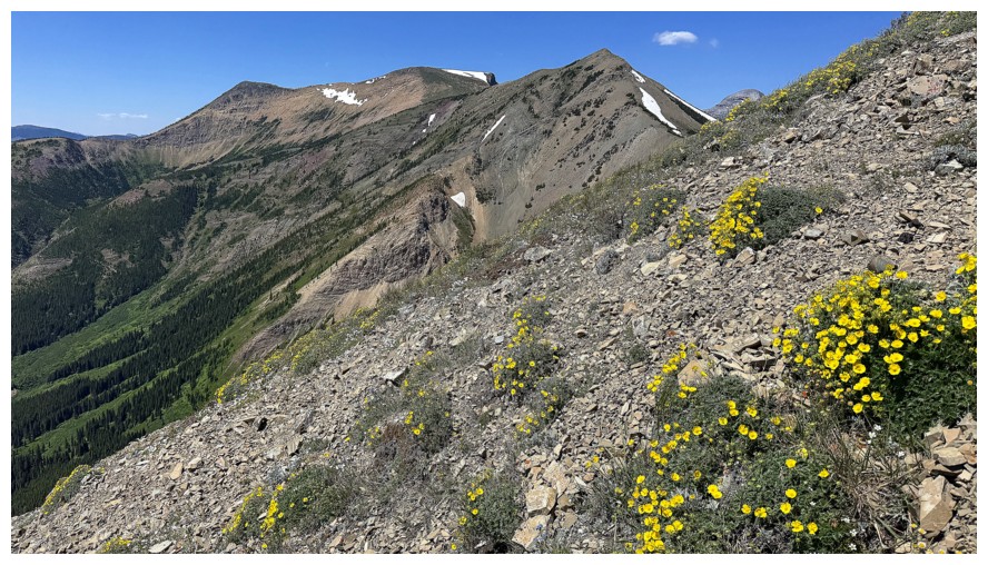
Back to the flowers
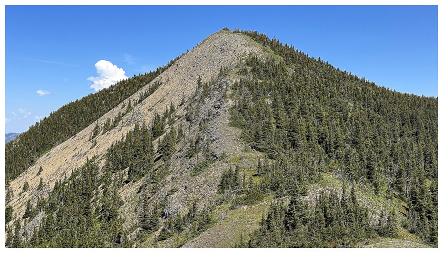
Macdonald Pass Peak directly ahead
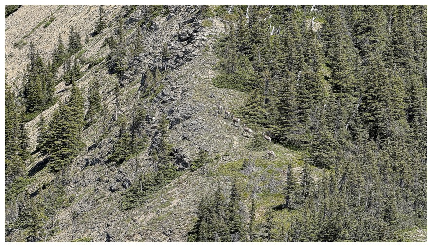
Another group of sheep, although they are likely the same ones I saw several hours earlier
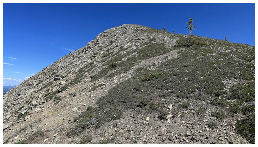
Super easy terrain to the top
Summit panos
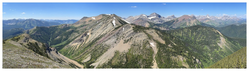
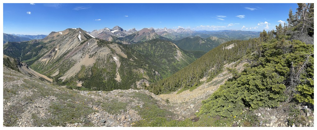
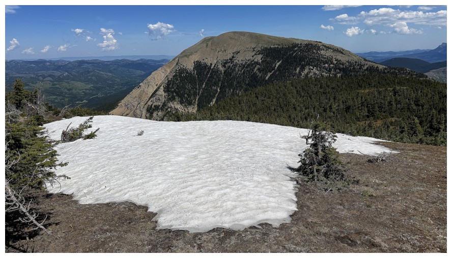
Mount McCarty looks close, but I don't have it in me for the day
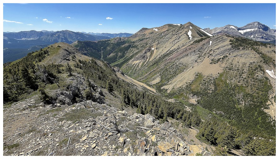
Heading down
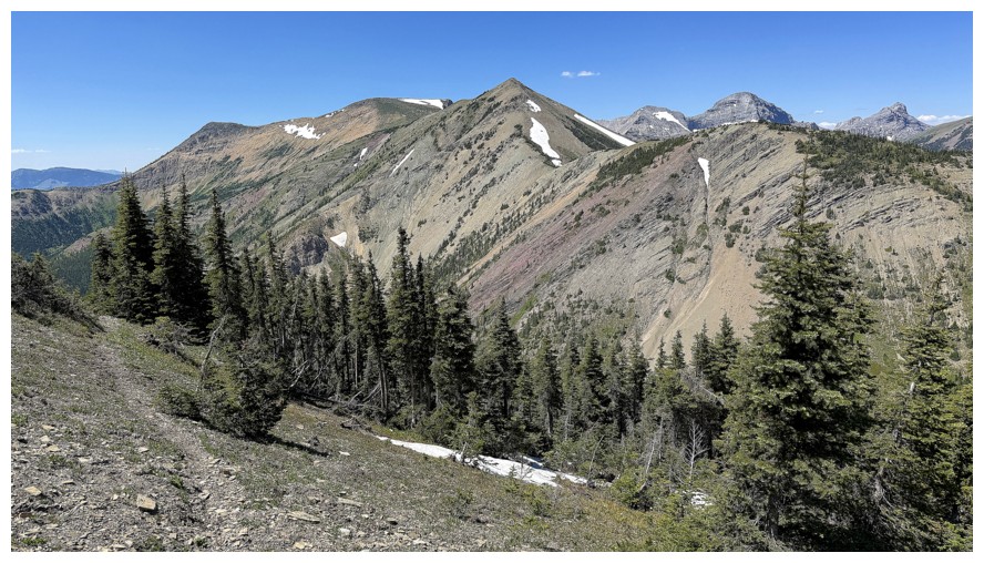
Picked up this terrific animal trail for the alternate descent route
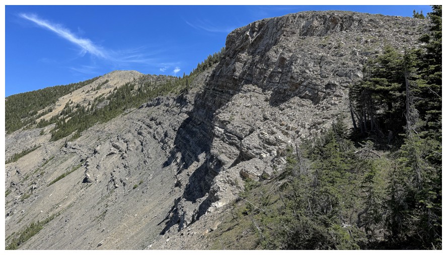
Had to hike past this rock band before losing elevation to the trail
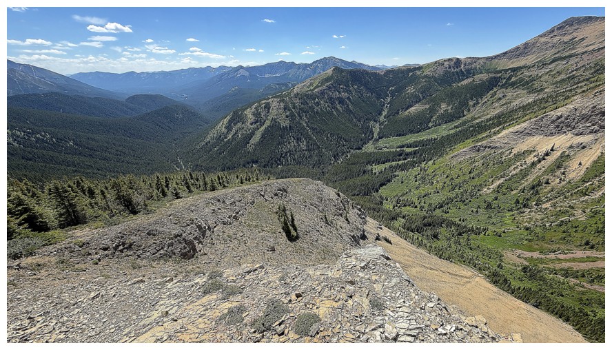
I need to be on the beige scree at the right
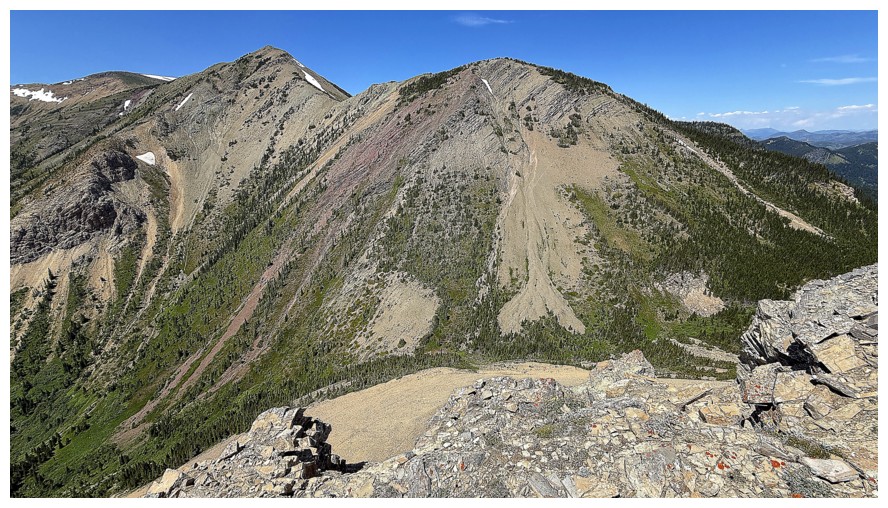
Last look at those outliers of Hollebeke
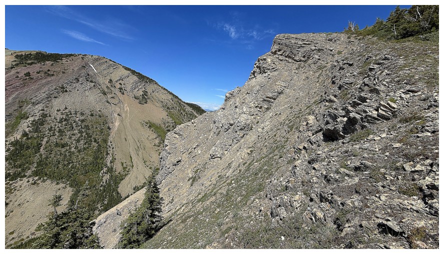
Descent route to the scree
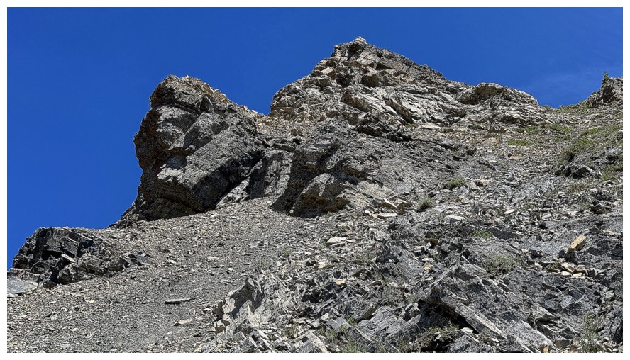
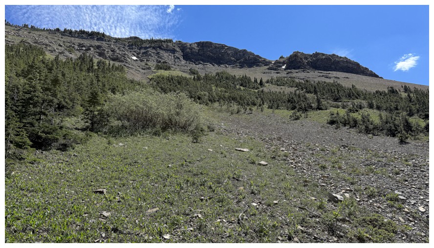
Looking back at some of the descent route
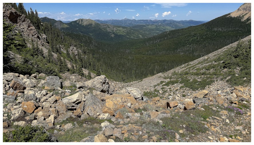
Back at the pass
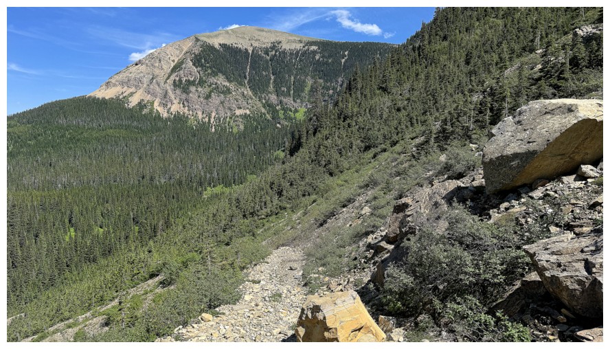
The west side of McCarty again
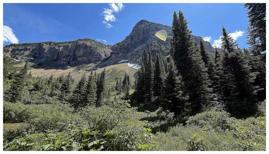
The north side of Macdonald again
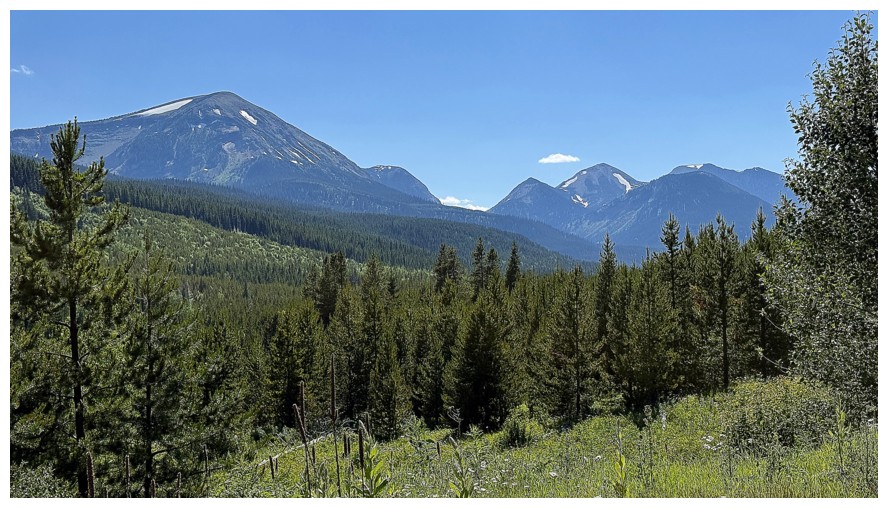
Back at the start. McCarty, Macdonald, and Hollebeke are visible. An excellent day!
The End
LOG