St. Eloi Mountain II
June 8, 2025
Mountain height: 2500 m
Elevation gain: 1232 m
Ascent time: 4:40
Descent time: 2:25
Scrambling with
Dave.
19 years has
passed since Linda Breton and I had ascended St. Eloi Mountain. That was more
than enough time to turn my memories of the trip into a blur of disconnected
images and recollections, and so when Dave suggested an ascent, I was all in.
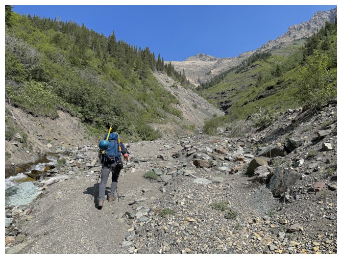
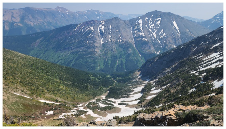
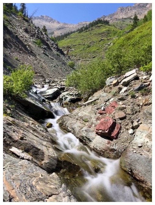
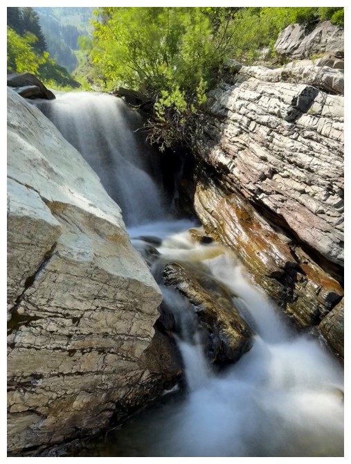
After hiking
the Syncline Brook trail for a few kilometres, 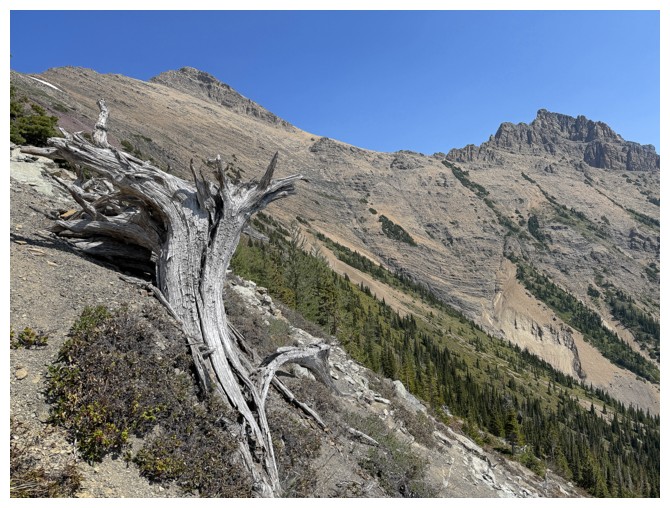 we turned up the major drainage
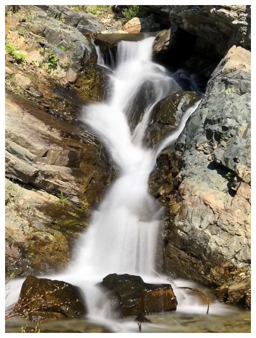
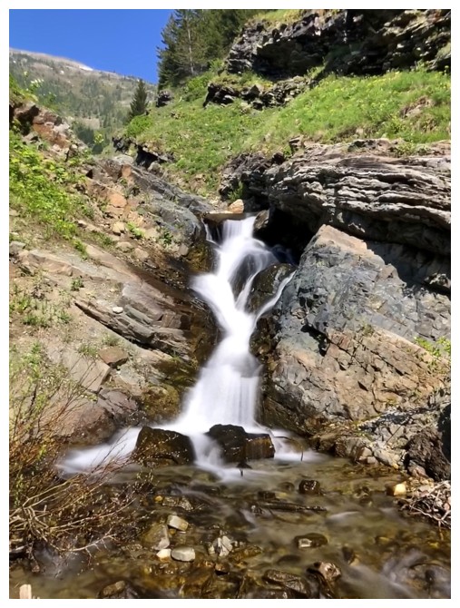
towards the east ridge of the objective. The creek was running surprisingly
high, granting us some of the best scenery of the day in the form of small
cascades and waterfalls.
we turned up the major drainage
towards the east ridge of the objective. The creek was running surprisingly
high, granting us some of the best scenery of the day in the form of small
cascades and waterfalls.
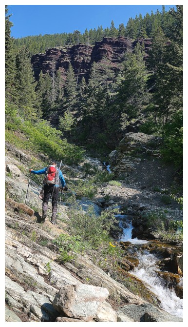
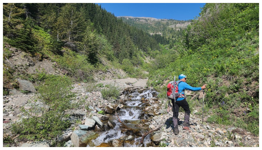
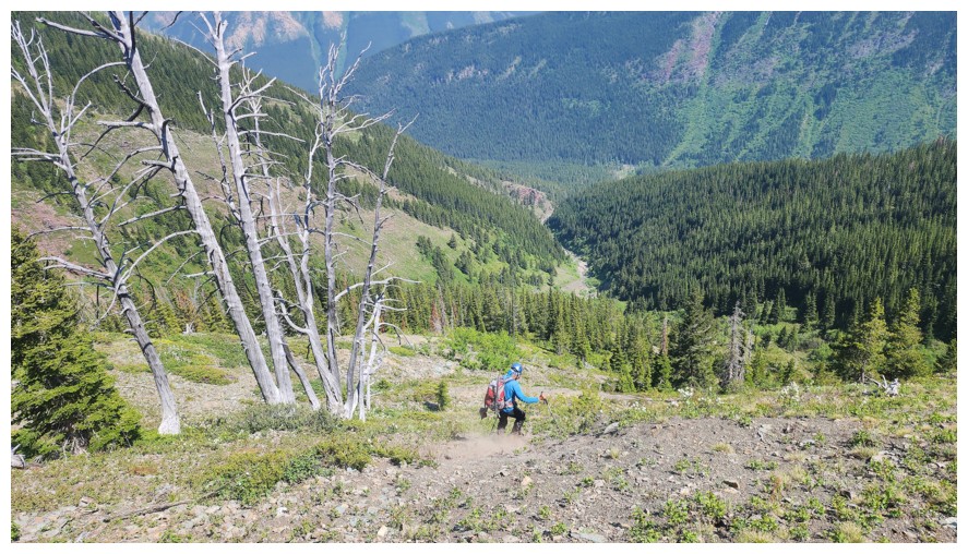
Eventually it
was time to leave the creek, that was now heading more towards Syncline
Mountain. Dave led the way up very steep grassy/forested slopes (good footing
however) until the view opened up enough to see routes to the ridge. We took
slightly different paths here, Dave reaching the ridge long before me.
One element of
the ascent took us both a little off guard - it was downright grueling!
Throughout, I was breathing like Arnie in Total Recall! Dave had similar issues though not
as pronounced as mine – he waited for me on numerous occasions. 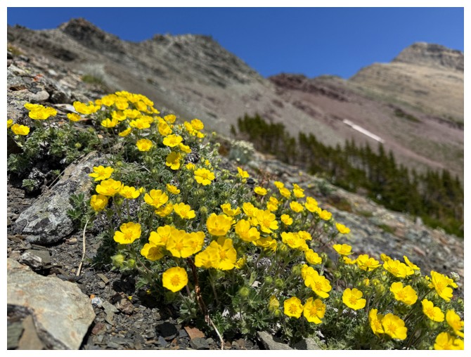 Nevertheless,
we were later than sooner reunited on the ridge and took a short break to
recuperate from the steep grind. Clearly, the tiresome nature of the ascent up
to that point was one of those memories I had chosen to delete!
Nevertheless,
we were later than sooner reunited on the ridge and took a short break to
recuperate from the steep grind. Clearly, the tiresome nature of the ascent up
to that point was one of those memories I had chosen to delete!
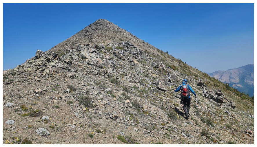
The remainder
of the ascent doubled-down. Huffing and puffing throughout, with way too many “catch
my breath” breaks, it felt like Mount Erris II! Of course, we eventually
made it to the top where a great (but hazy) summit view and a long break felt
well-deserved.
Other than
getting down safely, the primary goal of the descent was to find the most
expedient route with the least amount of suffering – i.e. elevation gain. As
such, we side-sloped the first major highpoint and then took a direct route
down to intersect our ascent route. Although an extremely tempting descent gully
sits right below the summit, several reports describing the horrors at the base
of the gully were more than enough for us to steer clear of it.
Thankfully, the
entire route unfolded with merciful ease. Our descent ended up taking just over
half the ascent time.
An excellent, but alarmingly tiring day. Although the phrase “Misery loves company” would
hardly apply to this trip, it was good to share some of my general suffering
with an excellent friend!
Click HERE to see Dave's excellent report.
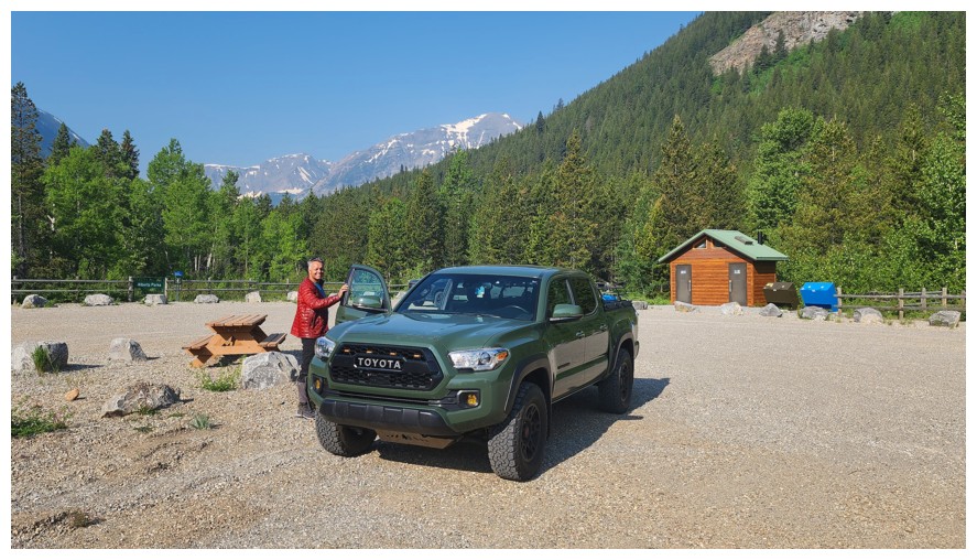
Getting ready at the parking lot (photo by Dave)
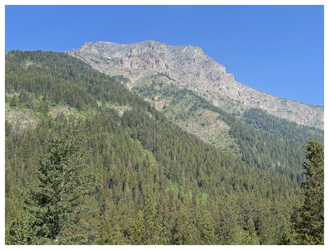
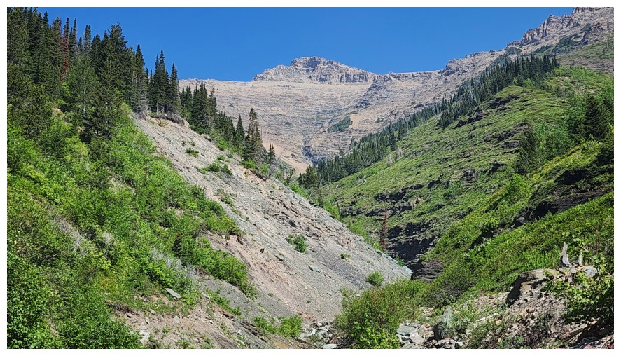
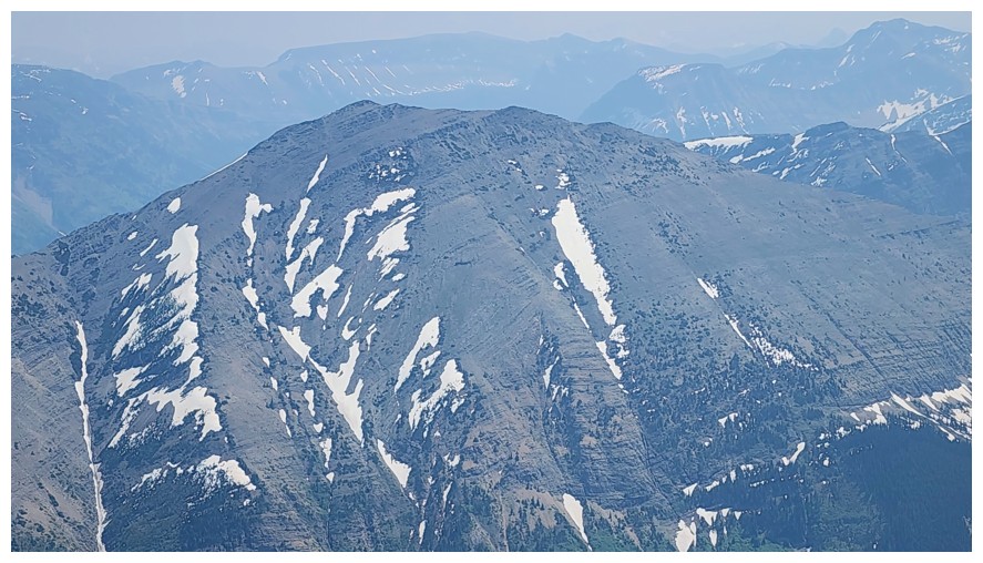
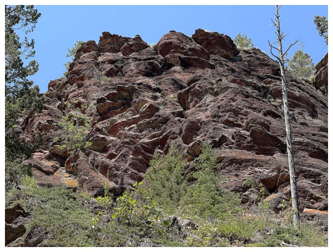
There appear to be many interesting lines up Syncline Mountain from this side
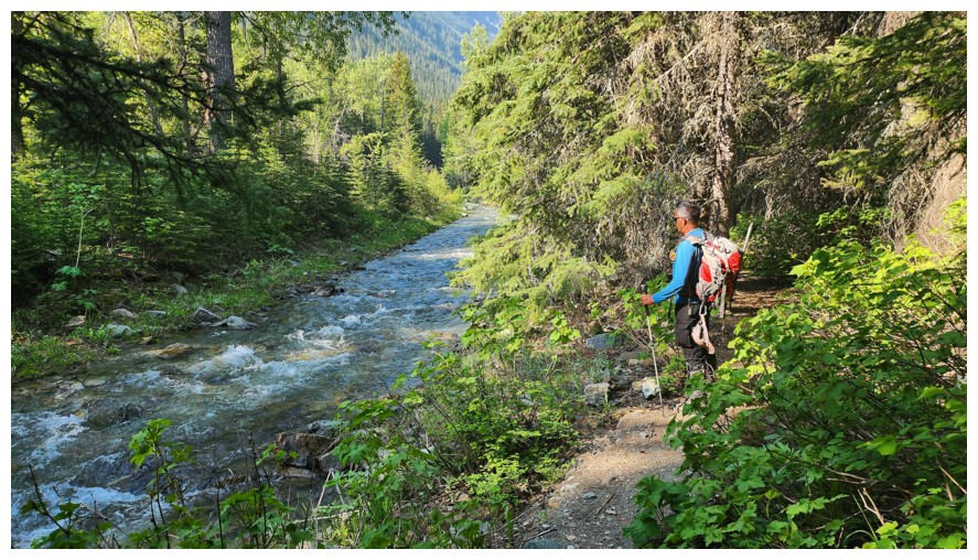
Stopping briefly to check out Syncline Brook (photo by Dave)
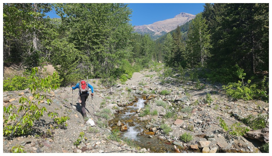
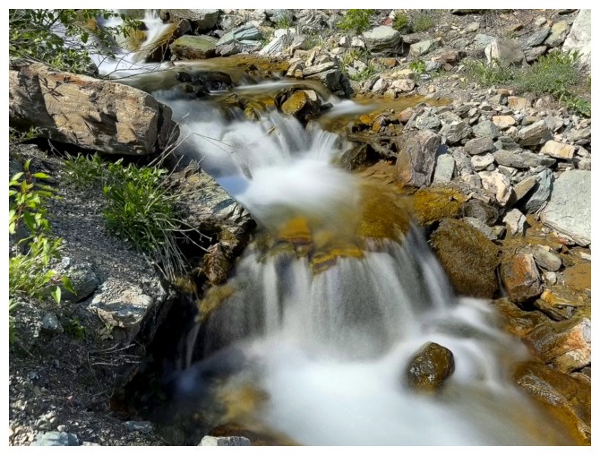
The start of the subsidiary creek that goes between St. Eloi and Syncline (photo by Dave)
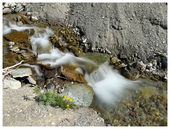
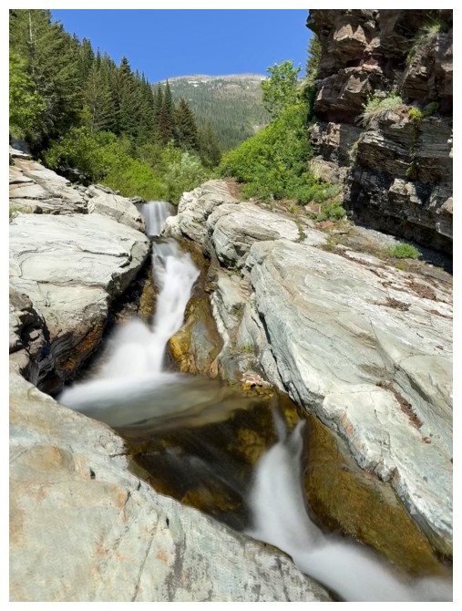
The long exposure photos begin
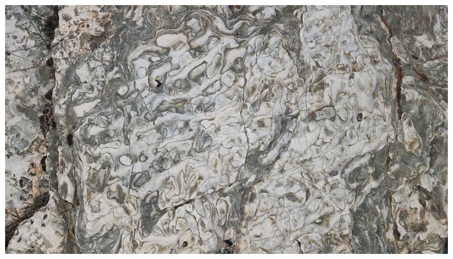
So do interesting patterns in the rock (photo by Dave)
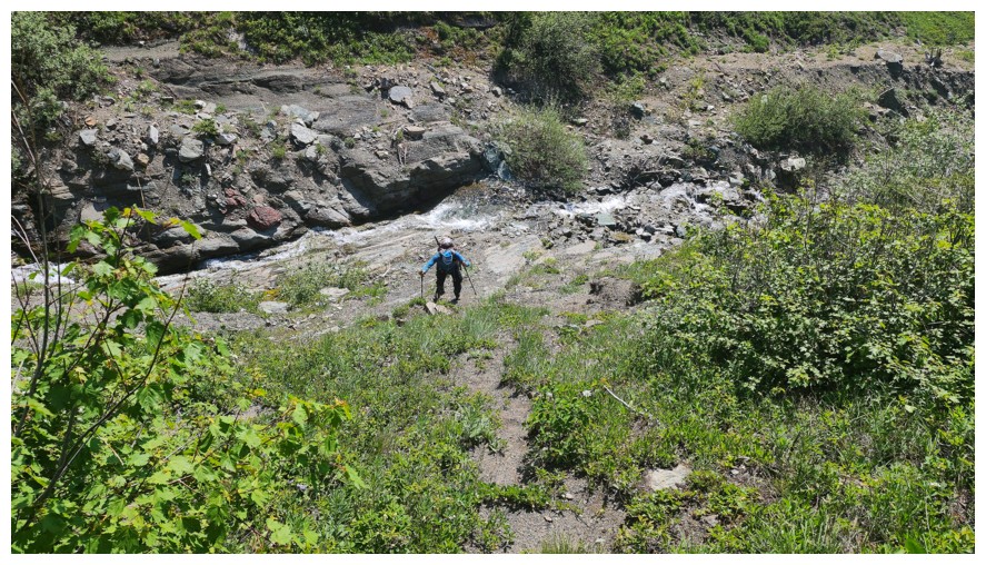
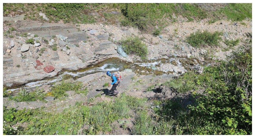
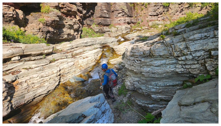
Approaching a cool canyon-like feature along the creek (photo by Dave)
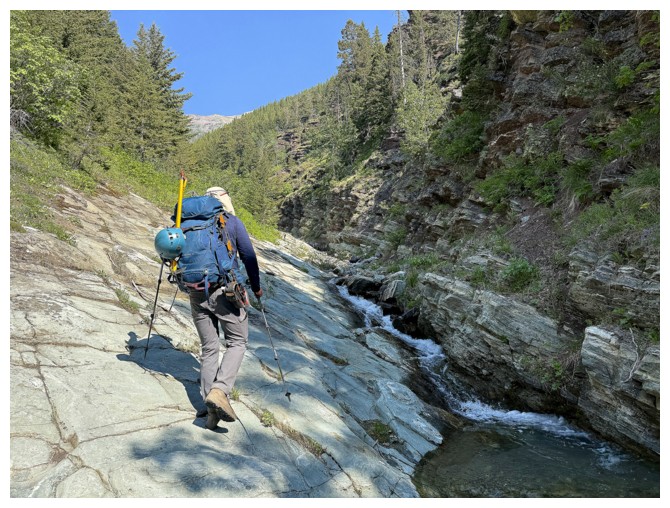
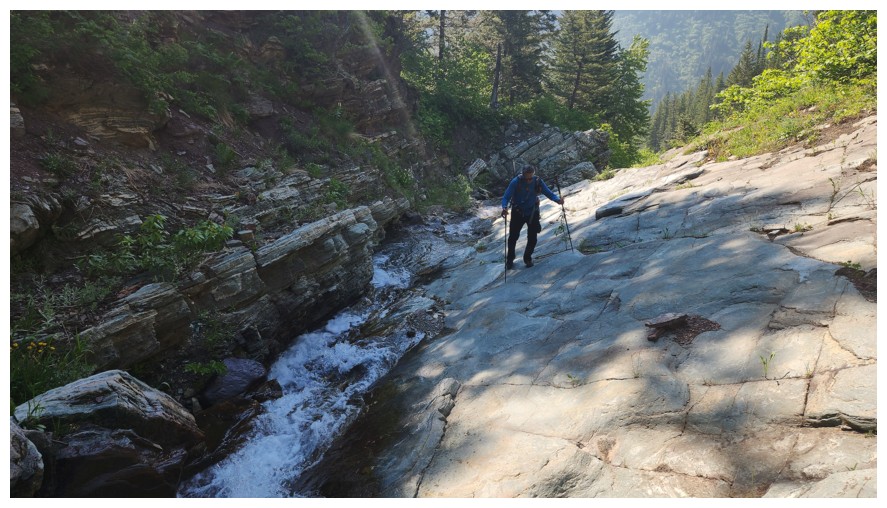
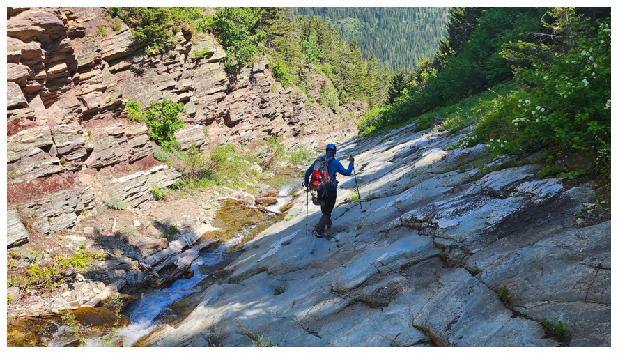
Walking up the slabs was fun
Dave's view (photo by Dave)

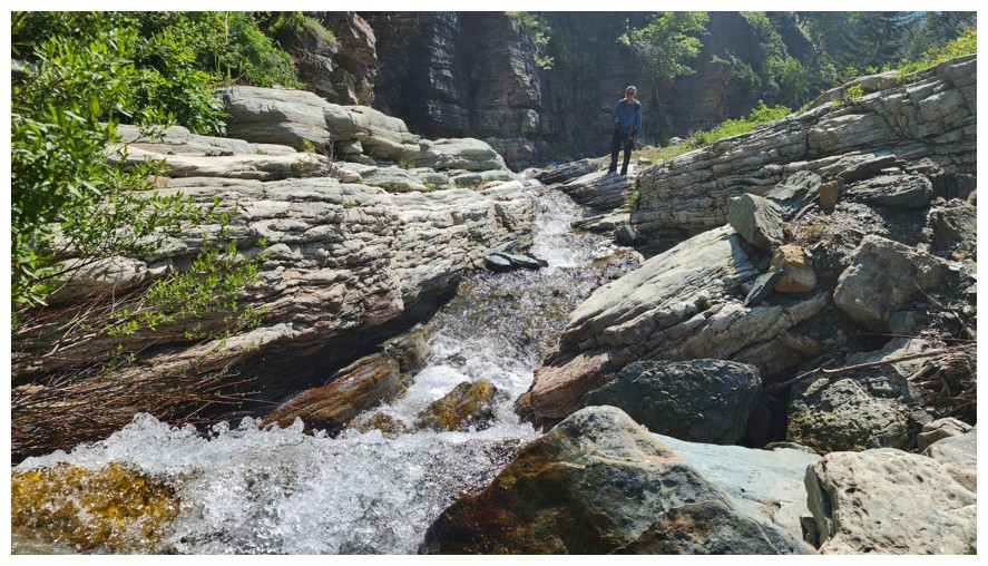
Some fun scrambly terrain here (photo by Dave)
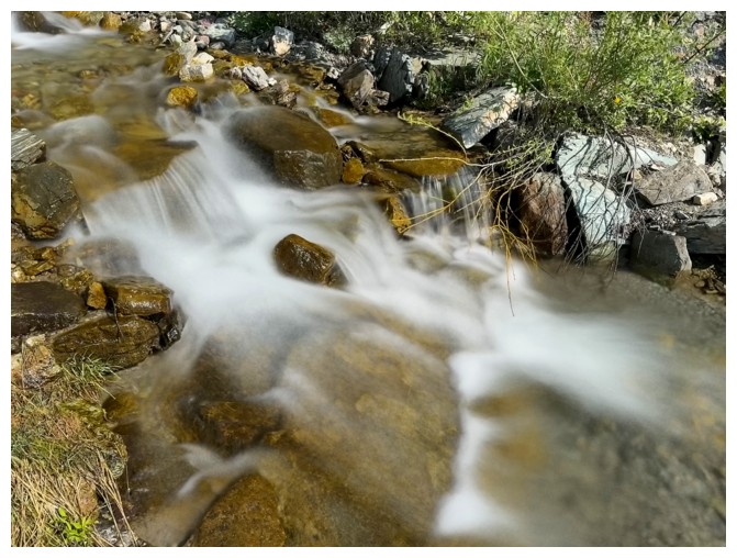
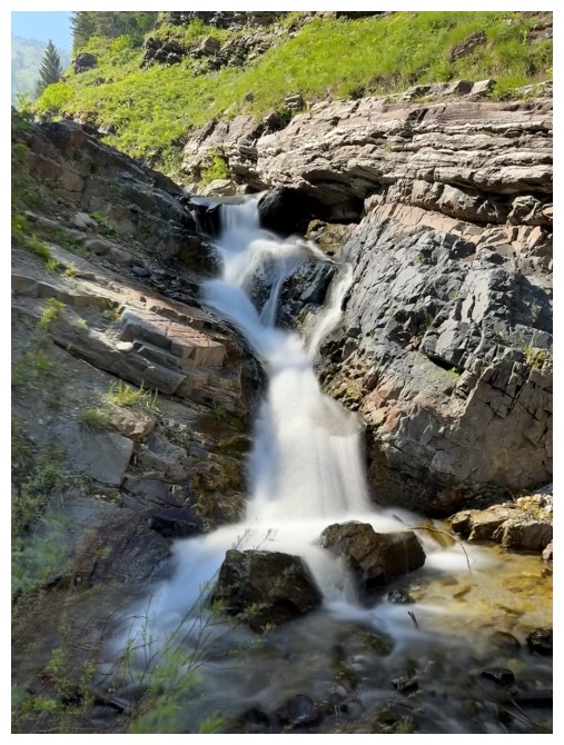
And then another beautiful cascade
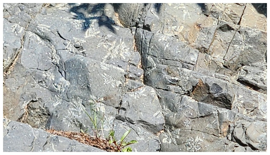
Fossils in the rock (photo by Dave)
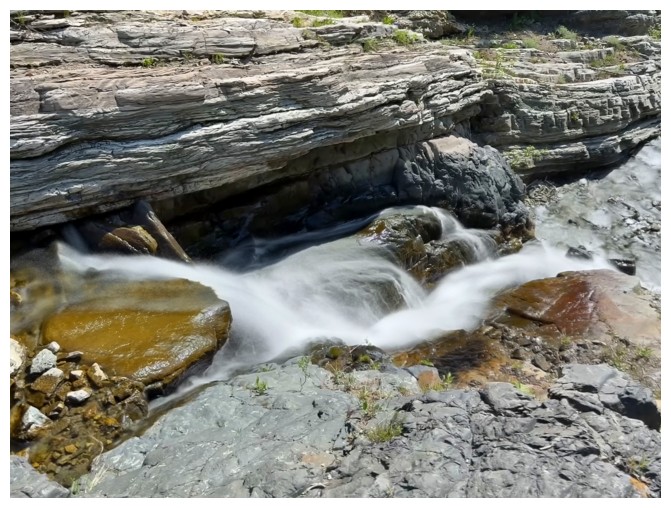
Last of the long exposures until we return, many tiring hours later
The creek opens up a little (photo by Dave)
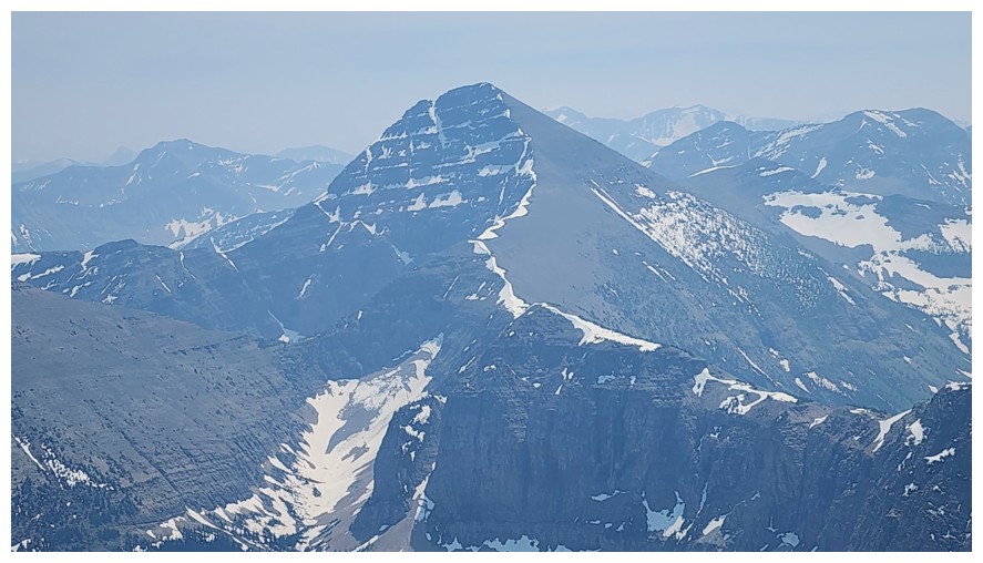
The second summit of Syncline is very photogenic and gets better with elevation (photo by Dave)
Dave approaches the point where we left the creek and headed up those steep slopes to the left
Steep but generally good footing (photo by Dave)
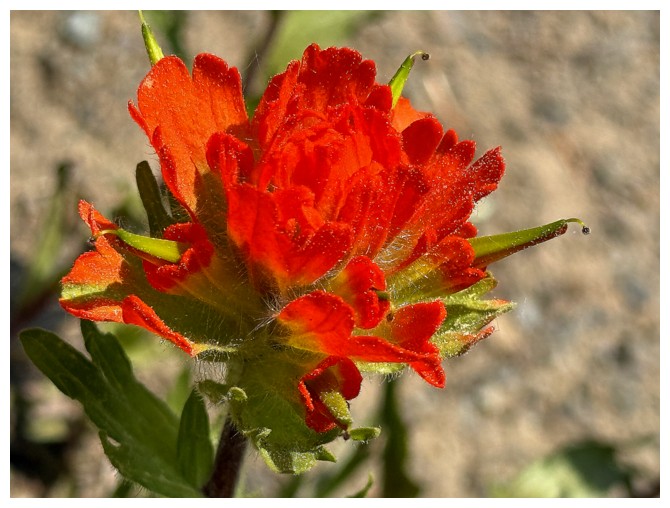
Flower close-up
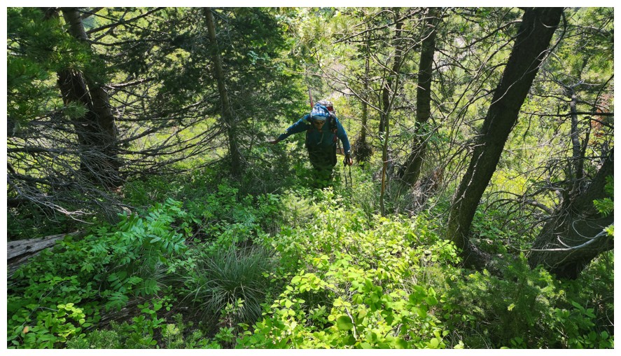
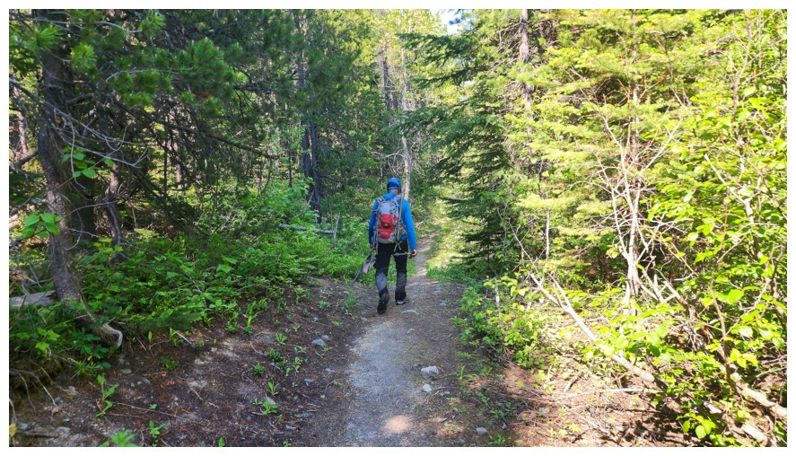
Looks bushy, but it was quite tolerable (photo by Dave)
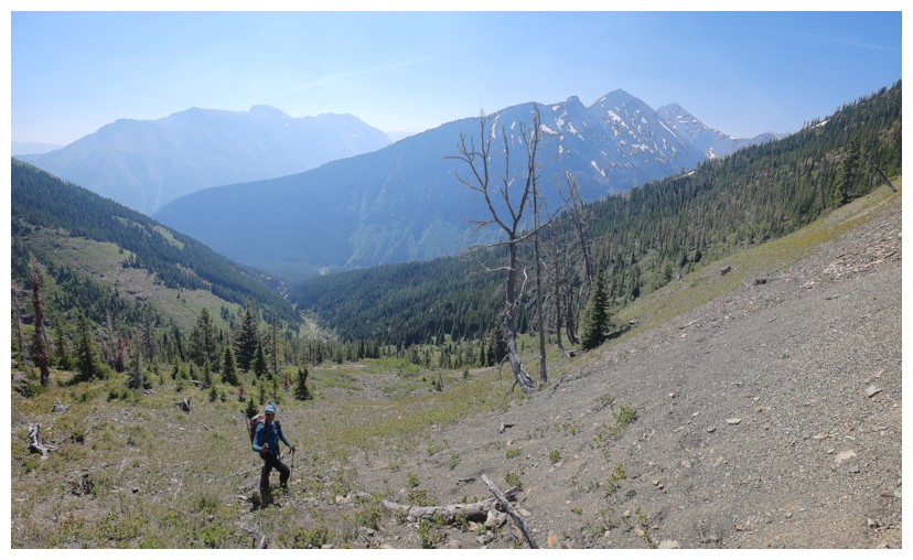
Out into the open. Barnaby Ridge at the left and Gravenstafel Ridge to Mount Haig, right of centre (photo by Dave).
Dave and two of Syncline's summits
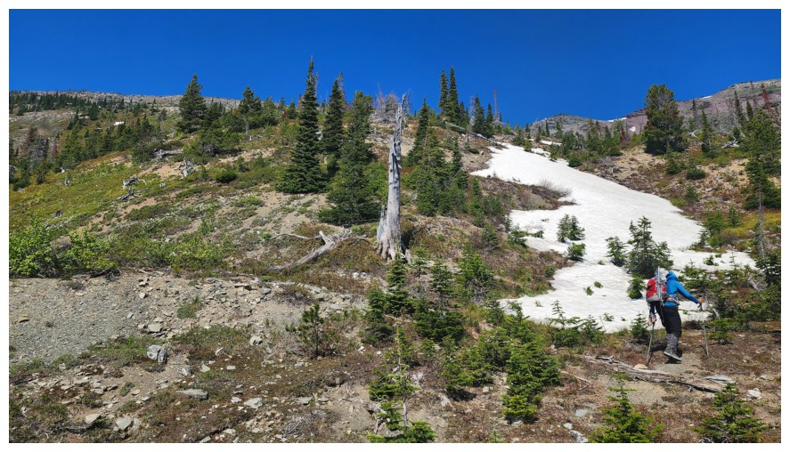
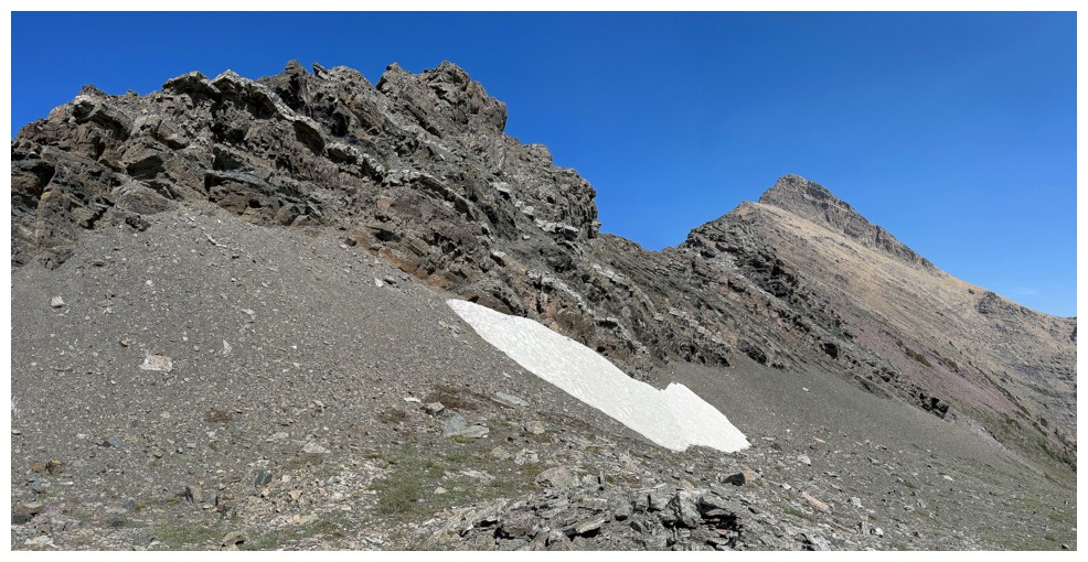
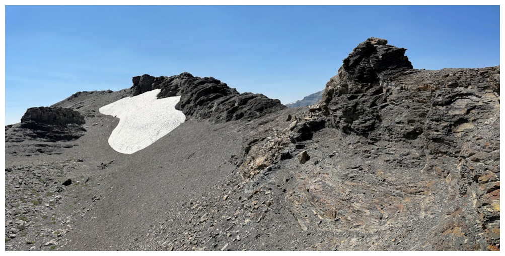
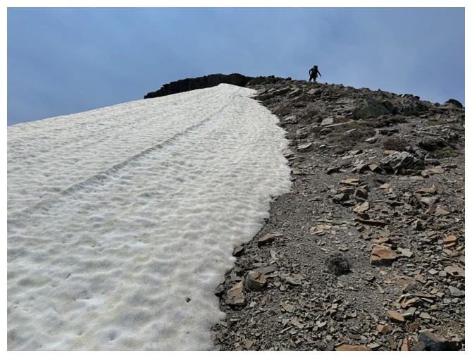
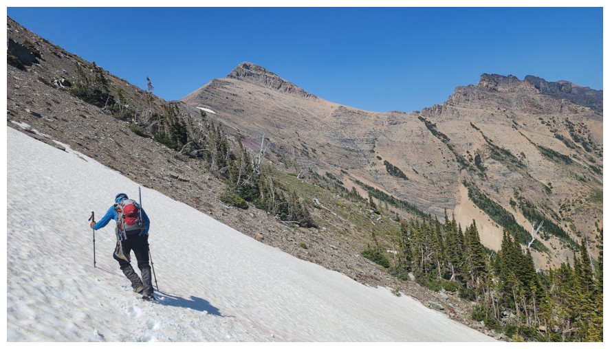
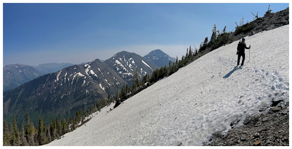
Heading for the snow patch, hopefully for easier footing (photo by Dave)
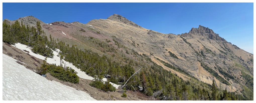
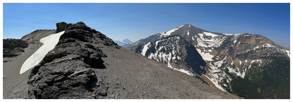
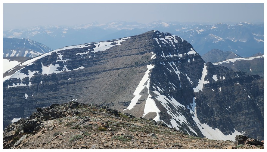
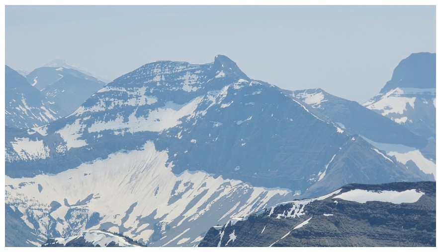
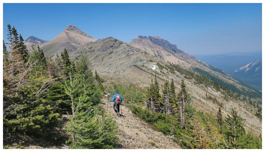
The first summit of Syncline is actually the most impressive from this angle
Same as above
Great capture by Dave! (photo by Dave)
And another upon reaching the ridge (photo by Dave)
The ridge is not without interest in both directions (photo by Dave)
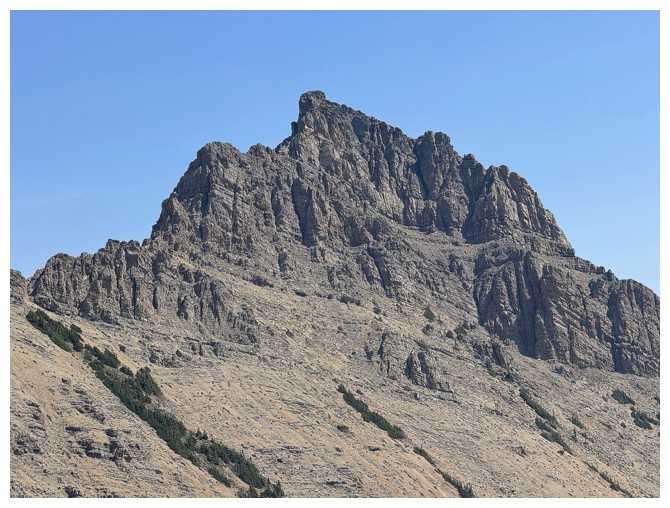
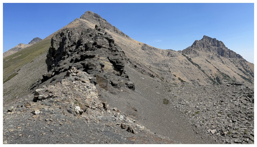
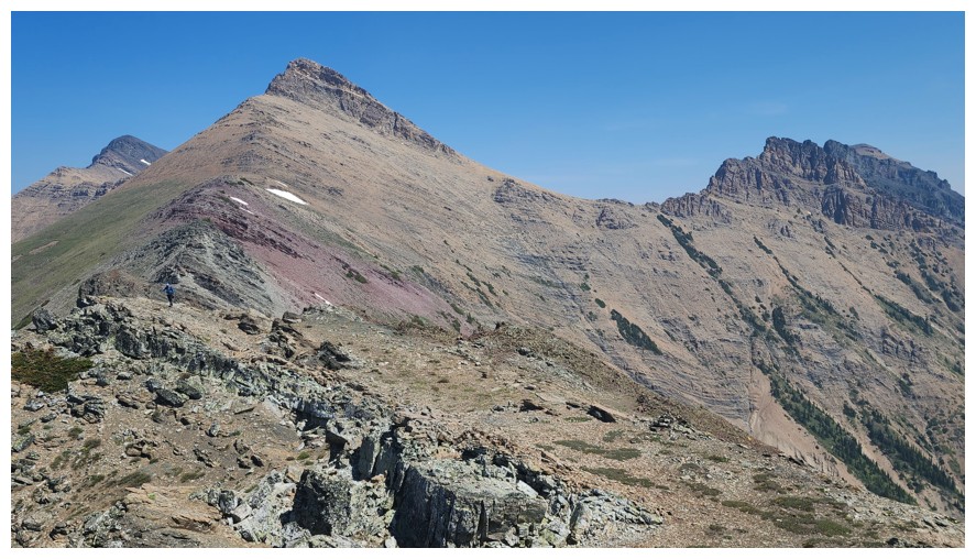
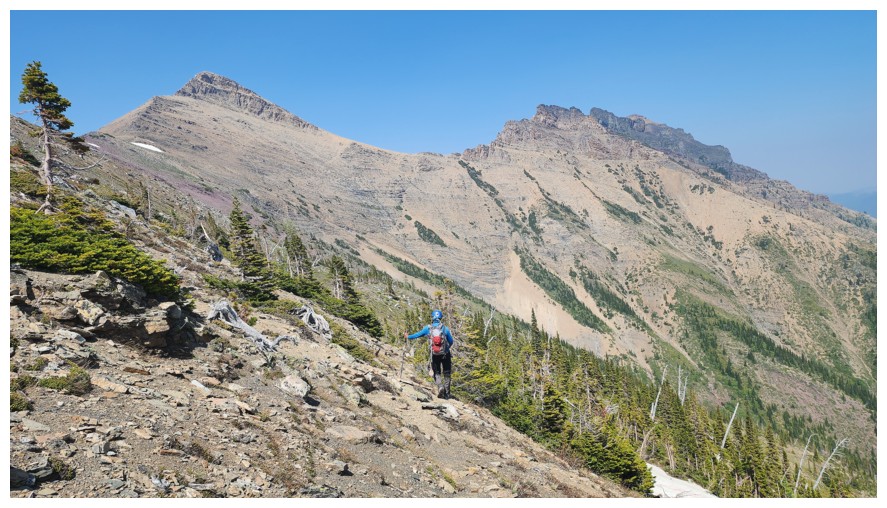
The impressive first summit
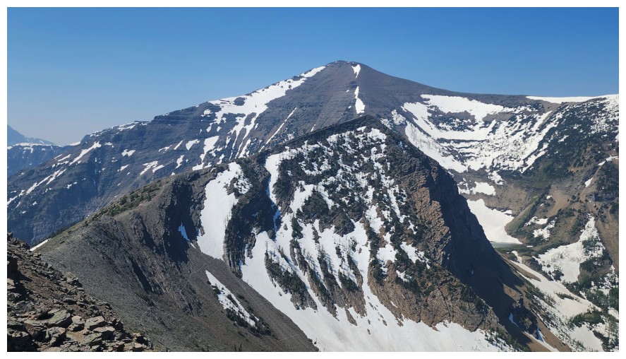
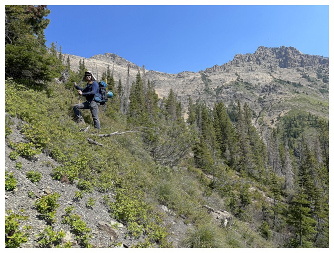
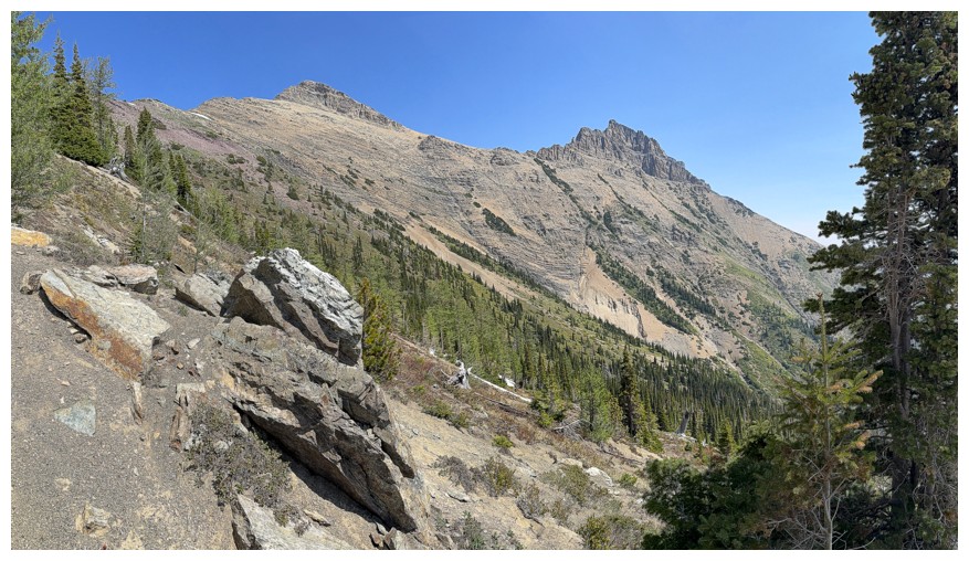
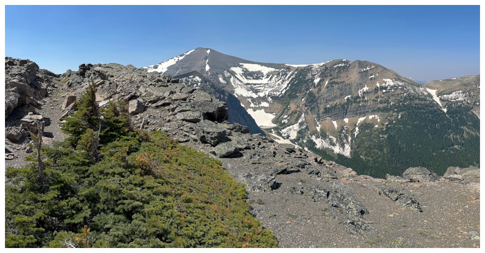
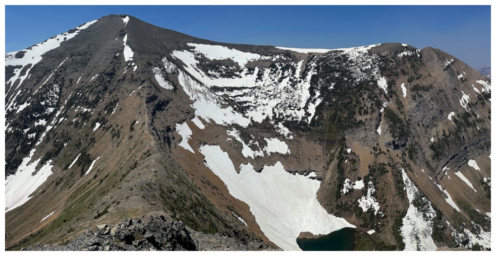
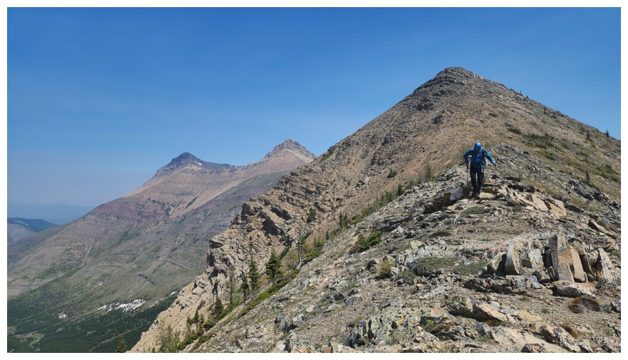
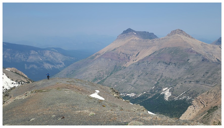
First
good view of St. Eloi. It is not necessary to gain the highpoint in
front, but that spot does provide an excellent view (photo by Dave).
A slither of the unnamed tarn on the north side of the ridge (photo by Dave)
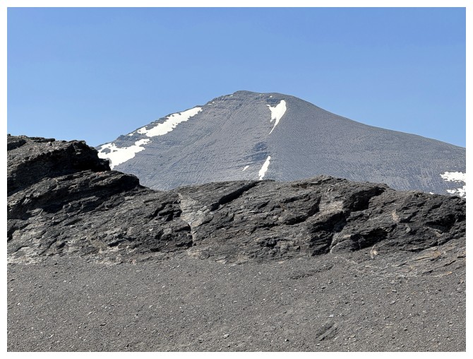
Eloi's summit peaks over the ridge
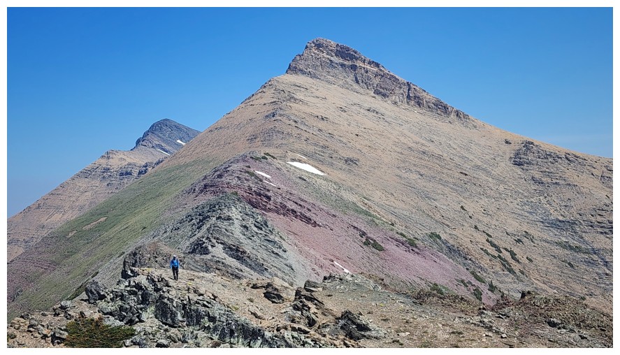
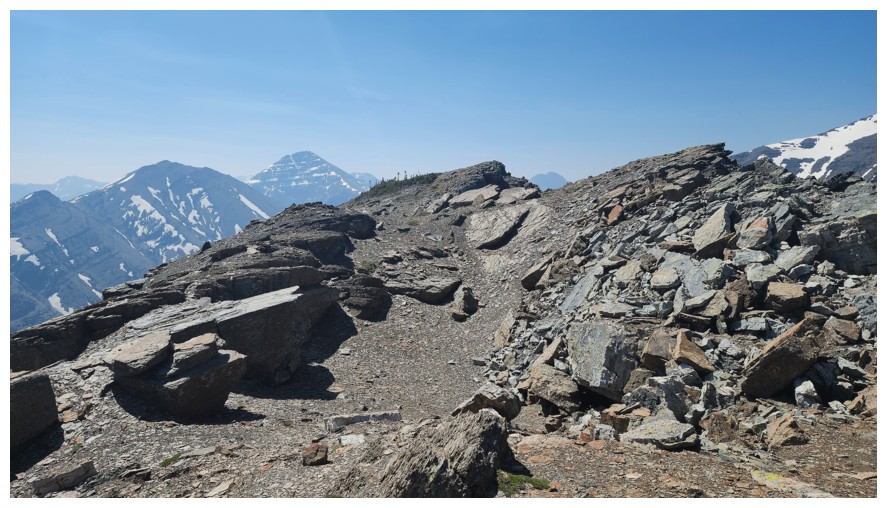
I gained the ridge a little further east
Enjoying the terrain
Same as above
And again
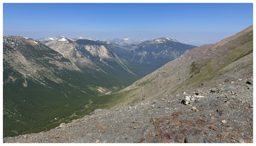
A clear line of haze to the north
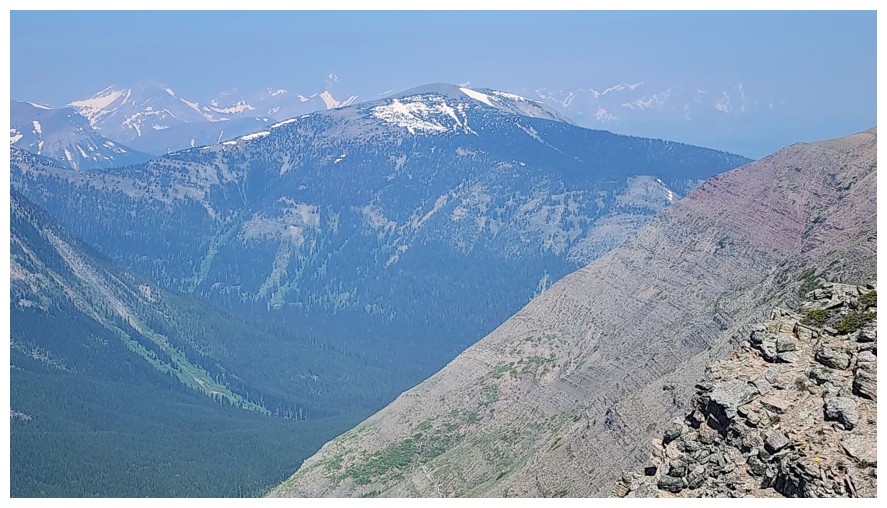
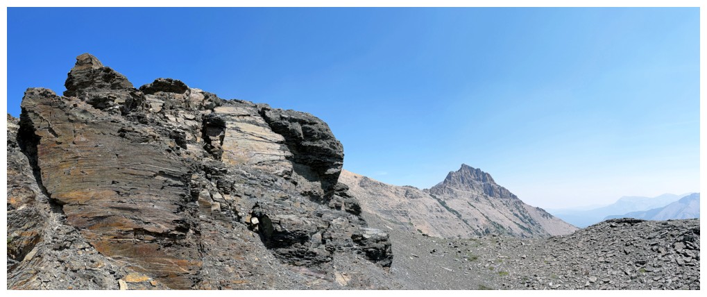
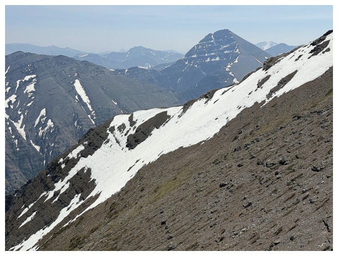
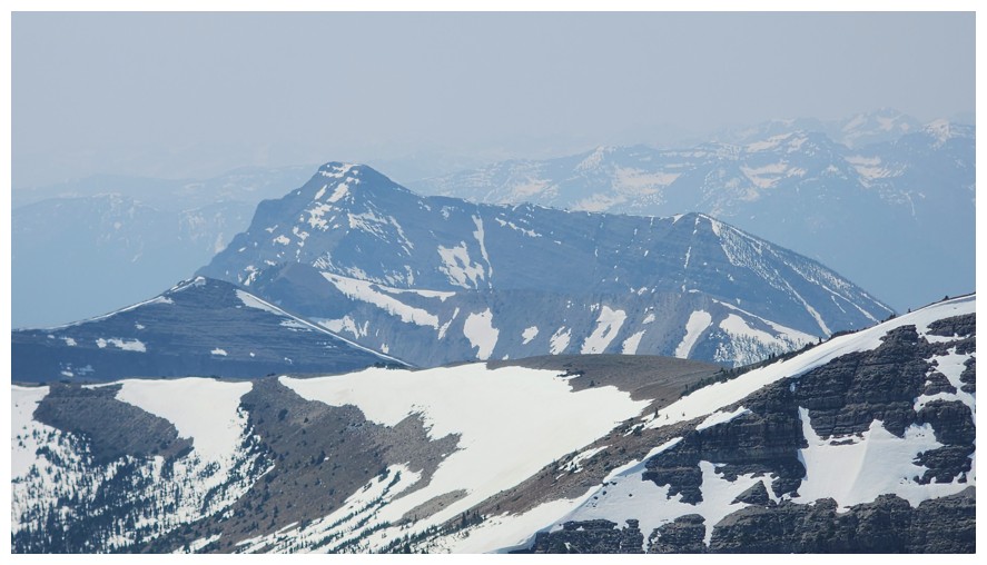
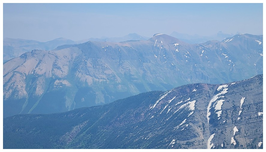
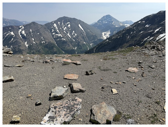
Mount
McCarty. Still on the to-do list, but I'm in no hurry - there have
been few, if any, favourable reviews of any ascent line that I can find (photo
by Dave).
Finally I appear on the ridge (photo by Dave)

And there's Dave, waiting at a highpoint
Haig, Boot Hill, and Tombstone - days of that magnitude are a distant memory (photo by Dave)
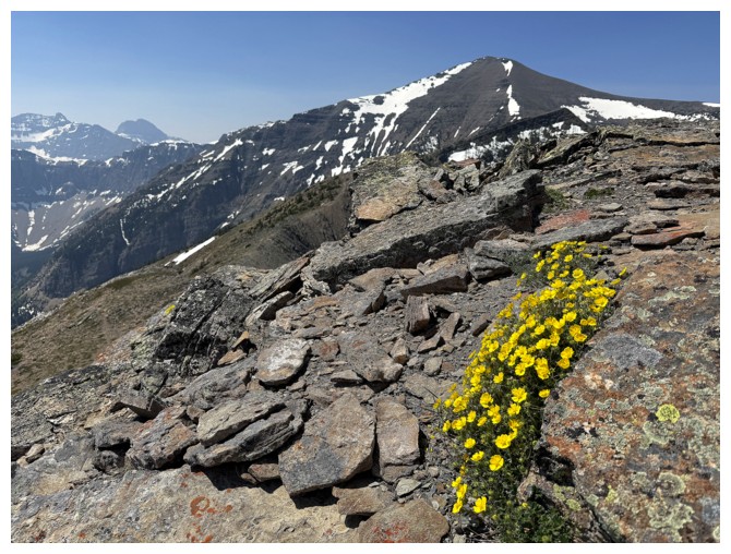
Alpine buttercup and Eloi
Finally, I'm caught up to Dave
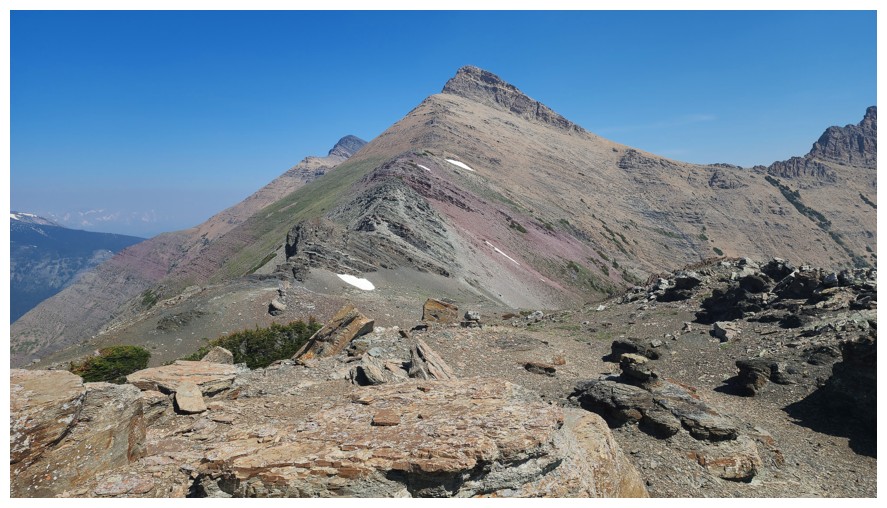
Continuing on to the major highpoint before the final stage of the ascent (photo by Dave)
All three summits of Syncline are now visible. The left-most peak is the highest (photo by Dave).
At the major highpoint (photo by Dave)
The tarn to the north, way below us
Losing elevation before the final push
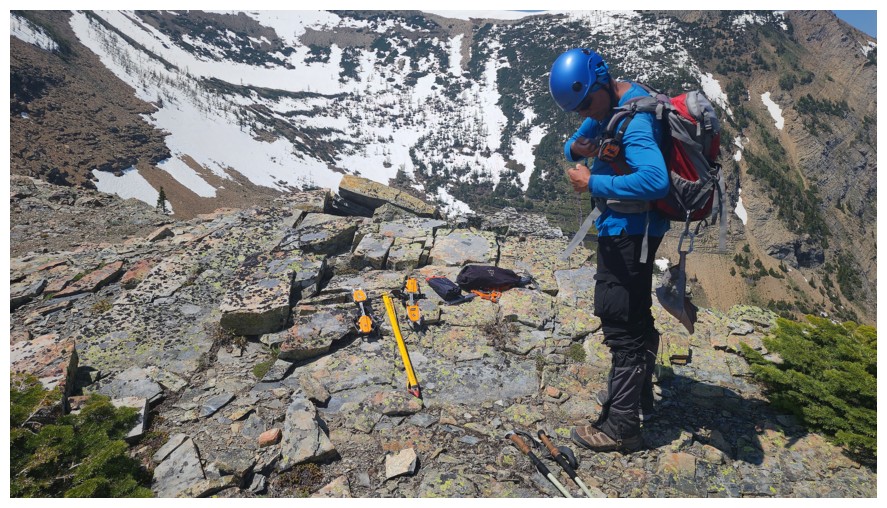
We decided to lighten our loads a little here by leaving our crampons and ice axes (photo by Dave)
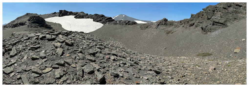
Almost at the col
Same as above (photo by Dave)
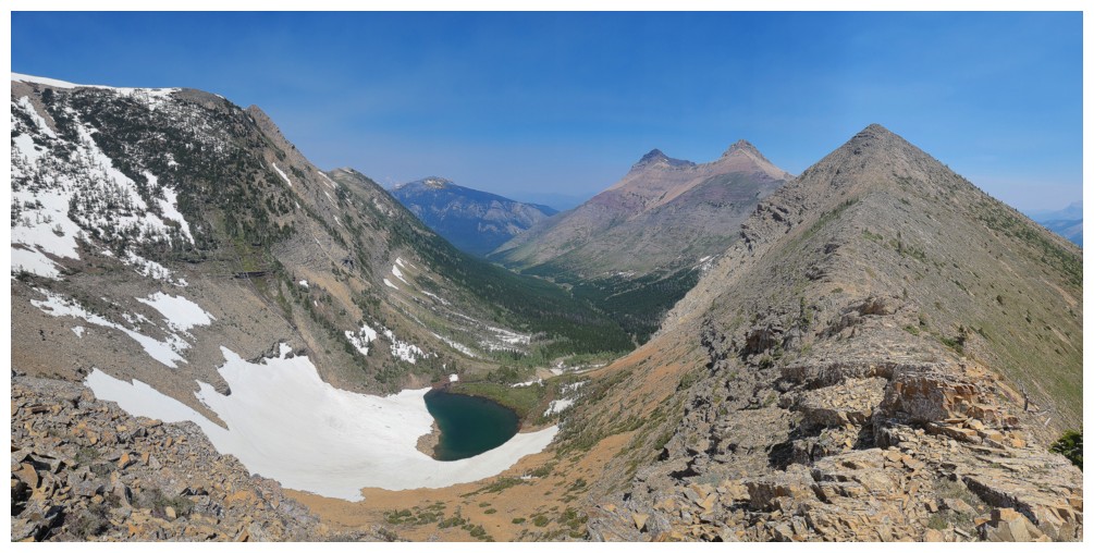
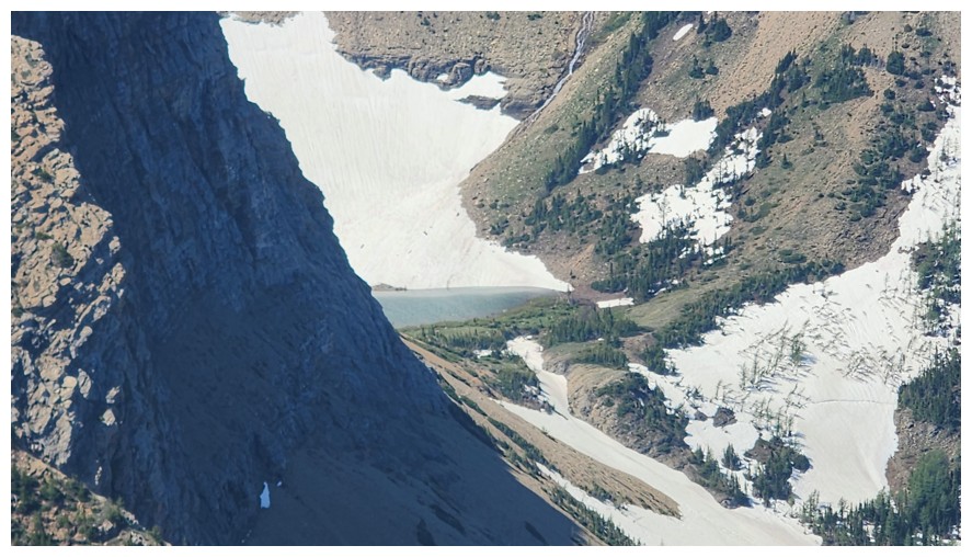
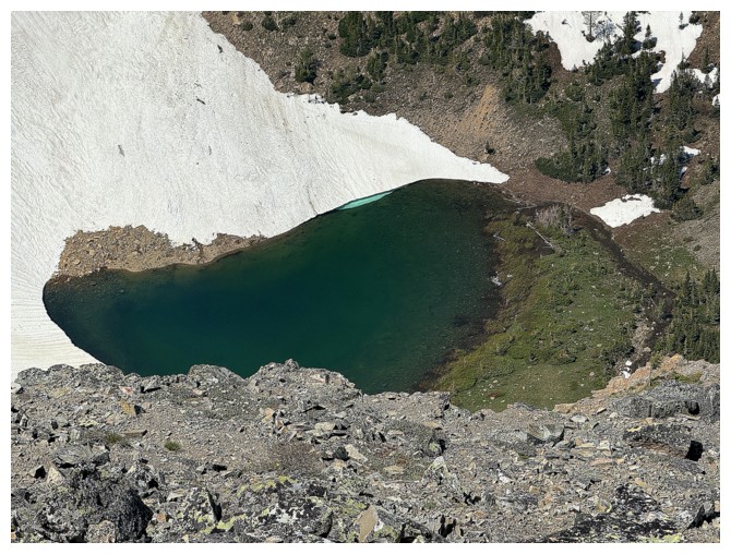
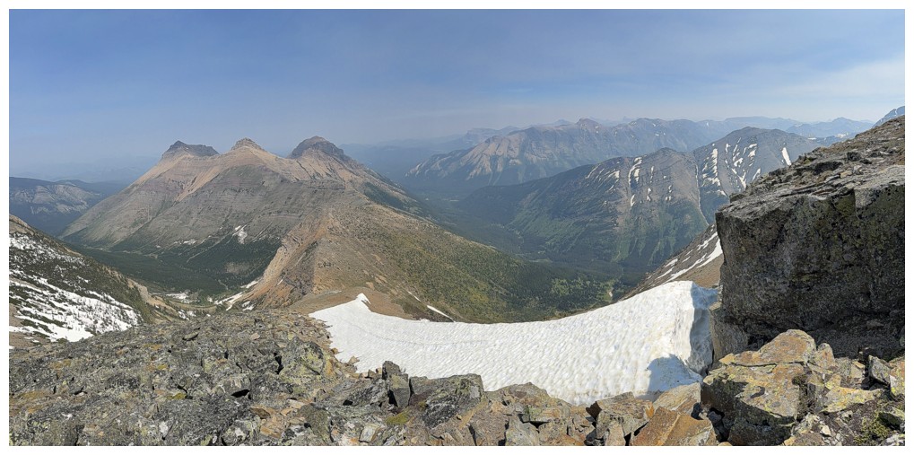
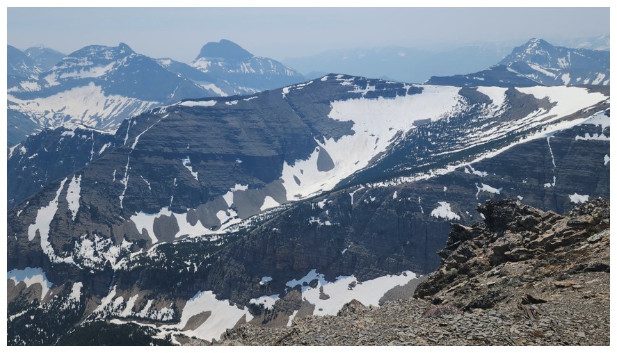
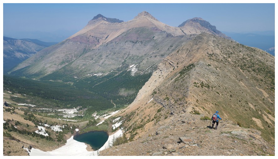
Great view to the north and east. The tarn adds so much (photo by Dave).
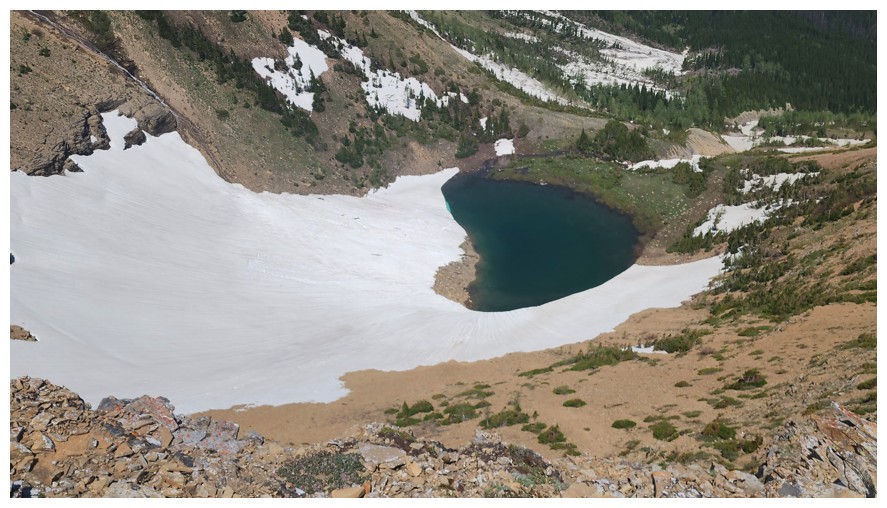
Still lots of snow around the tarn (photo by Dave)
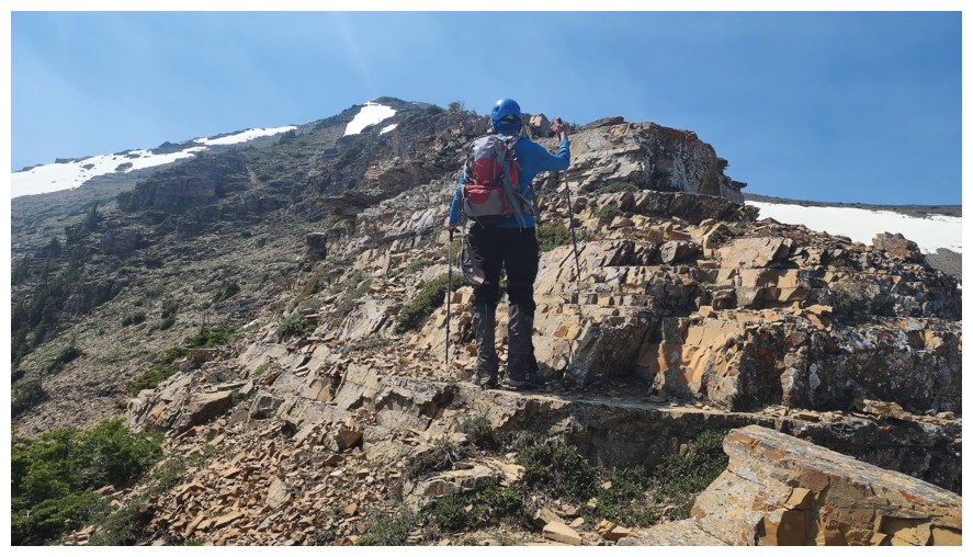
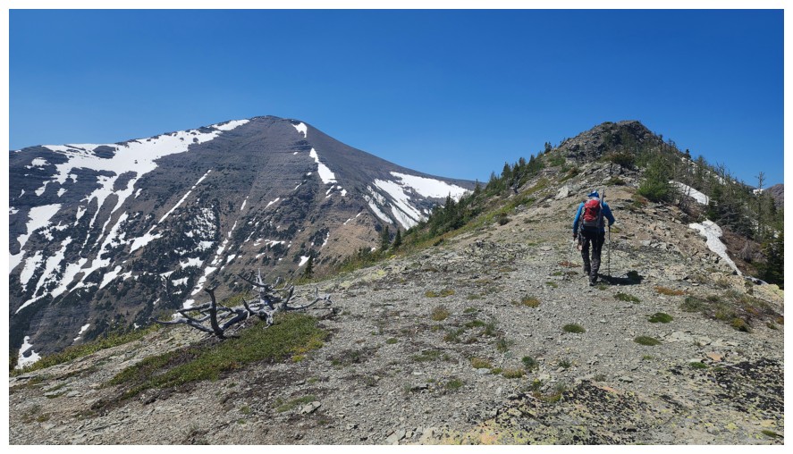
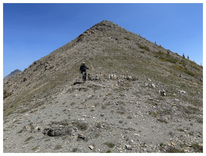
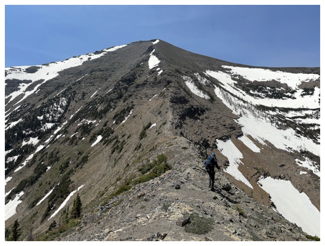
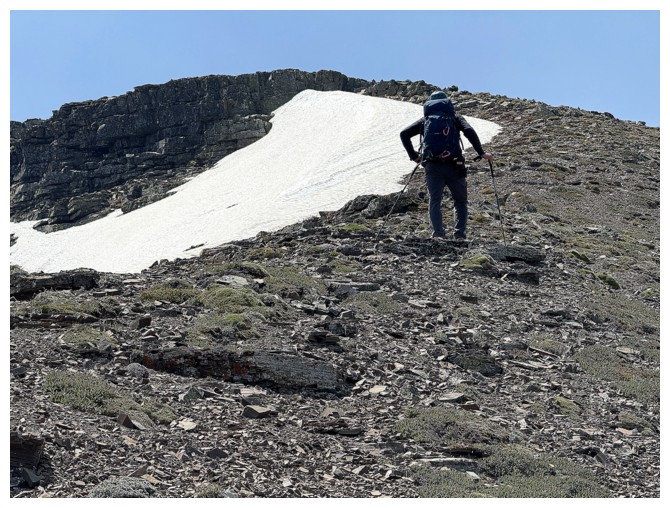
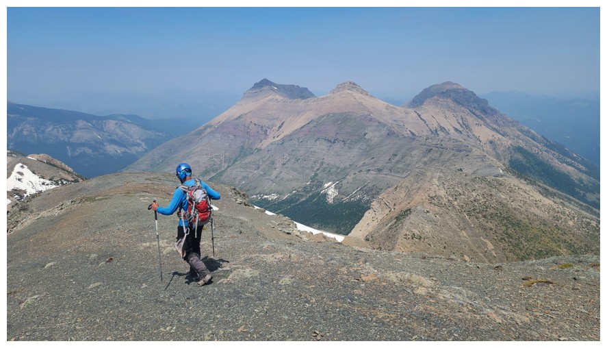
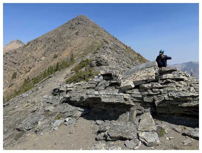
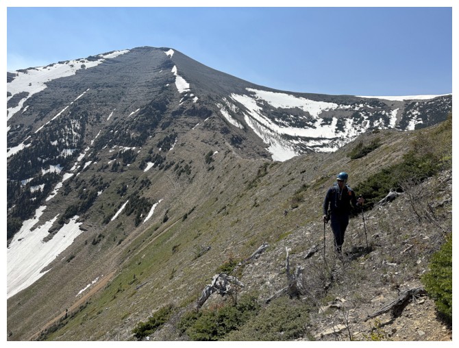
The final push to the summit begins - it was long and labourious (photo by Dave)
Dave takes the rear for a few minutes, but that wouldn't last long
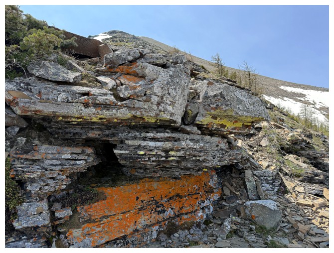
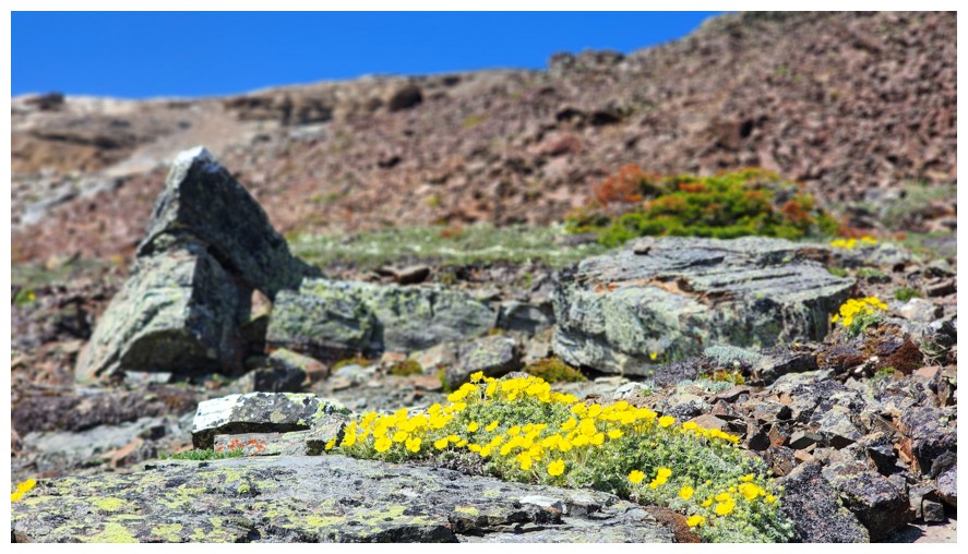
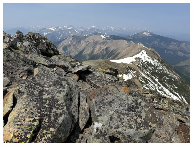
I'm making excuses to stop by photographing the cool lichen (not that I
wouldn't have stopped even if I didn't need to catch my breath!)
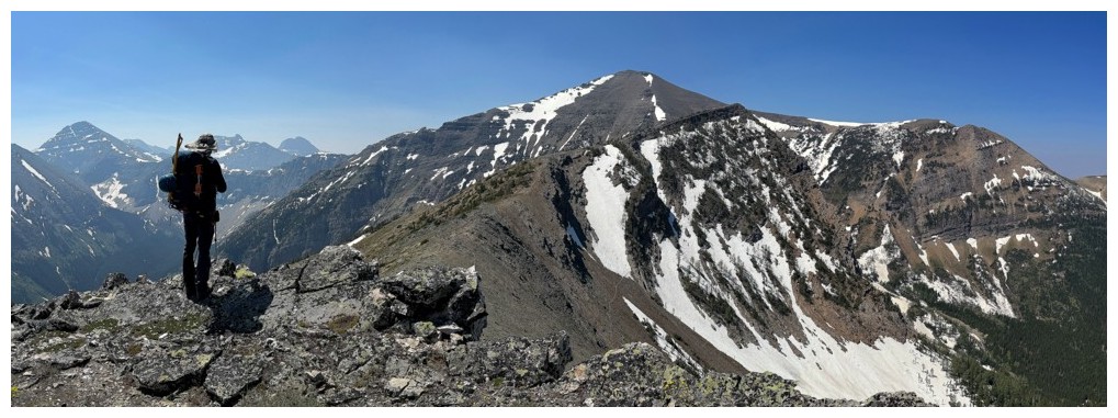
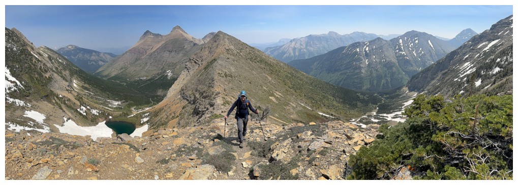
A very tired scrambler and Syncline (photo by Dave)
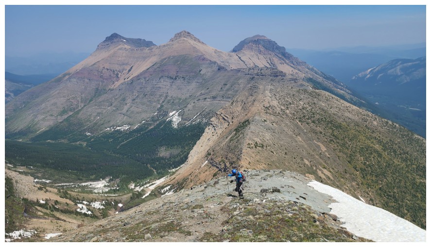
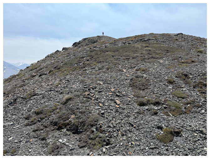
Dave is almost at the top. He's still way ahead of me as this is a zoomed-in shot.
More excuses and Haig
Dave finishes the bulk of the ascent
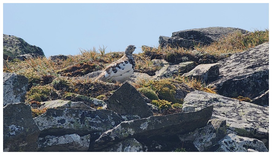
A well camouflaged ptarmigan (photo by Dave)
The connecting ridge to the north goes all the way to Hollebeke Mountain
Success - finally! (for Dave at least)
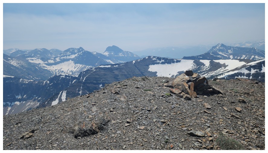
Summit view and the cairn (photo by Dave)
Final few hundred metes for me (photo by Dave)
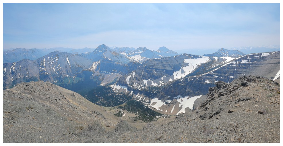
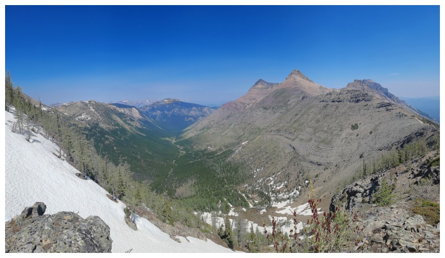
View to the southeast (photo by Dave)
View to the south (photo by Dave)
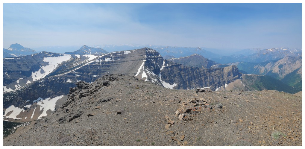
View to the northeast (photo by Dave)
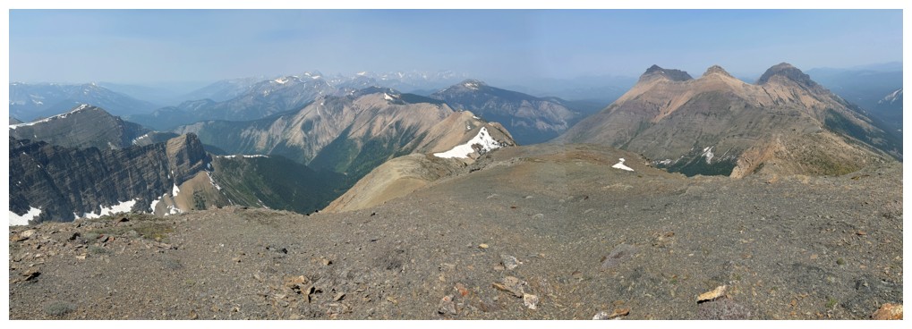
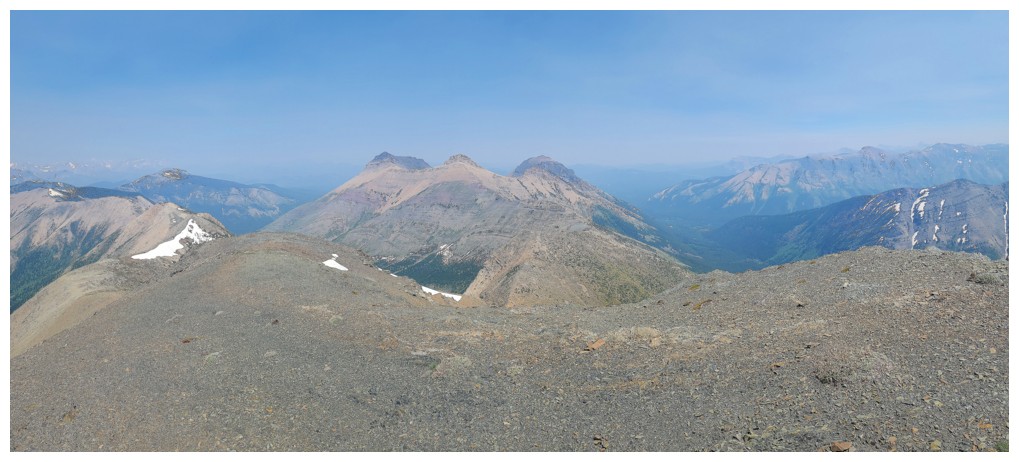
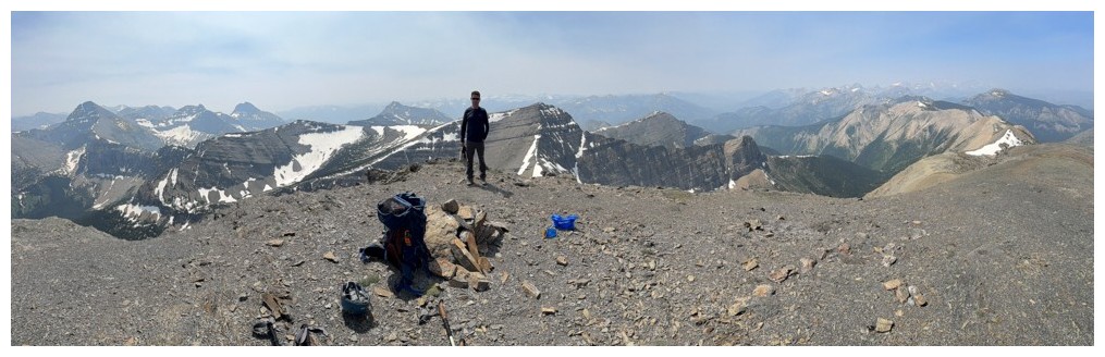
My summit pano
Eloi SW1 was a fantastic ascent on a very hot and exceedingly beautiful day (photo by Dave)
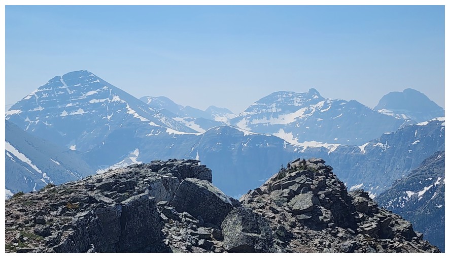
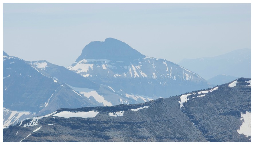
Packhorse Peak (photo by Dave)
Tombstone Mountain (photo by Dave)
Boot Hill (photo by Dave)
The best view of Mount Haig (photo by Dave)
Gravenstafel Ridge (photo by Dave)
Southfork Mountain, The Amoeba, and Barnaby Ridge (photo by Dave)
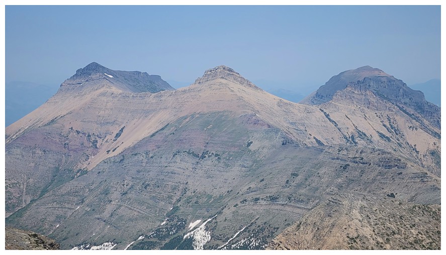
The best view of Syncline's three summits (photo by Dave)
Sapper Peak in the centre foreground (photo by Dave)
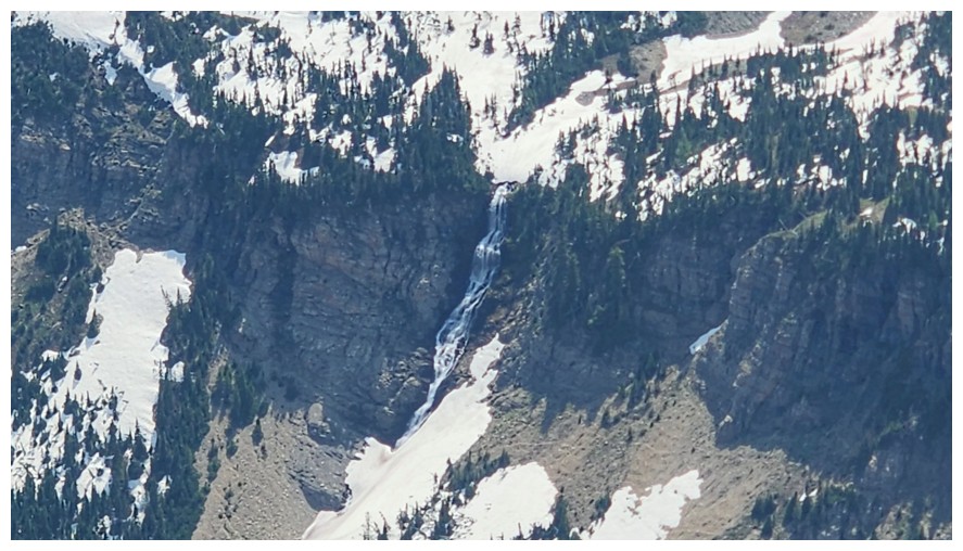
Big waterfall coming down from the valley below Sapper (photo by Dave)
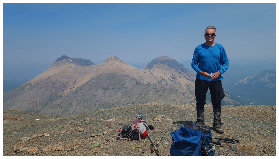
My summit pose (photo by Dave)
Dave's summit pose
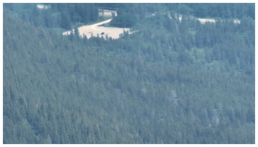
The fantastic zoom feature on Dave's phone picks out his vehicle, many, many, many tired kilometres away! (photo by Dave)
"Show me the way to go home, I'm tired and I wanna' go to bed...". The song is preceded by one of the best monologue's in movie history; Robert Shaw is brilliant and chilling to the bone (photo by Dave).
That tarn again, making the scene (photo by Dave)
The very tempting alternate descent route that apparently leads to hell! (photo by Dave)
Interesting arrangement of rocks
Back at the point where we dropped the excess equipment
The side-sloping begins (photo by Dave)
Side-sloping 1 done (photo by Dave)
On to Side-sloping 2 (photo by Dave)
Side-sloping hard snow (photo by Dave)
Dave follows
Now heading directly down towards the drainage we ascended (photo by Dave)
Back at the creek (photo by Dave)
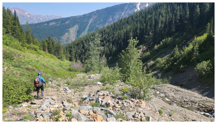
The easy, scenic, and enjoyable hike back down to Syncline Brook (photo by Dave)
Round 2 of long-exposure photos in the creek
The Sun is in a better position now to light up the canyon walls (photo by Dave)
But no Sun on the slabs (photo by Dave)
Awesome red argillite band
Thankfully a very tiring but terrific day ends with merciful ease along Syncline Brook (photo by Dave)
The End
LOG