Victoria Ridge IV
July 16, 2018
Mountain
height: 2530 m
Elevation gain: 1050 m
Ascent
time: 3:30
Descent
time: 4:10
Solo
scramble.
Not much
to report for this dull, colourless, lackluster, boring hike except that it is
anything but those things! The Victoria Ridge ascent via the trail is
fantastic, but the trail-less traverse towards Victoria Peak is stupendous!! I
didn’t continue all the way to the summit of Victoria Peak, but completed
enough of the trip to be reminded of why this is probably my favourite
high-level traverse anywhere. There are certain trips that I could do once a
year, every year, until I die, and this is one of them!
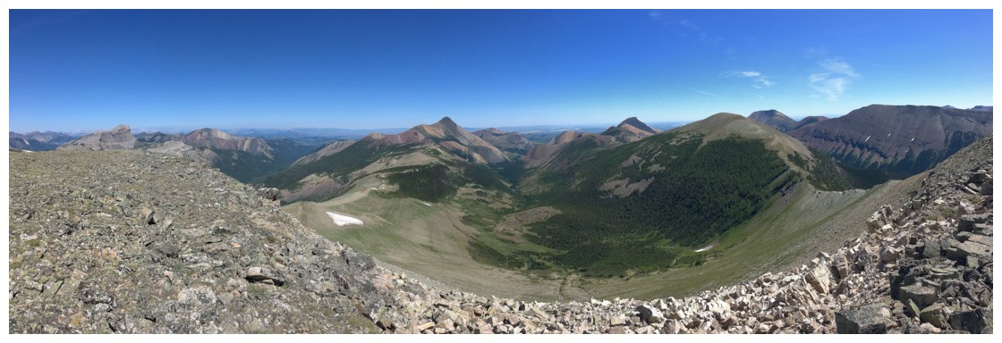
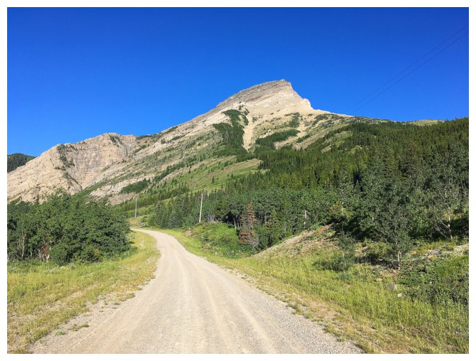 Victoria Peak is one of many beautiful sights, as you bike or hike the approach (biking is strongly recommended)
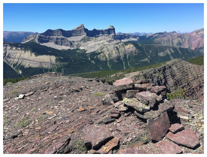
One of the outliers of Prairie Bluff is another!
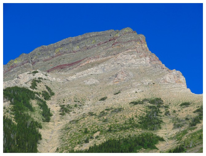
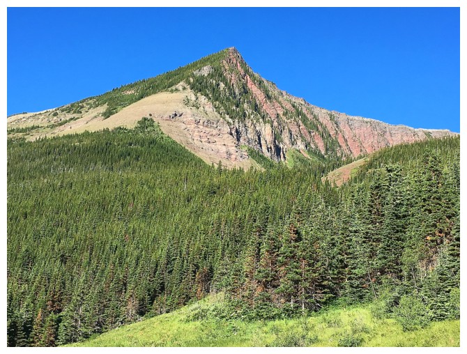
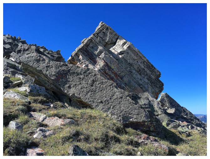
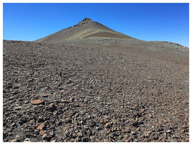
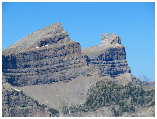
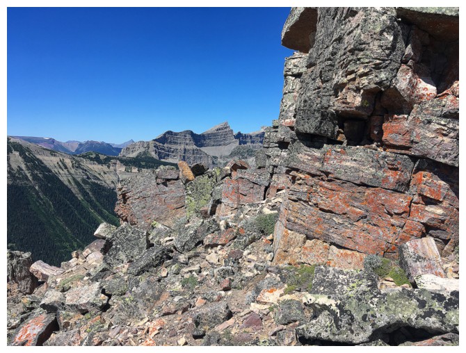
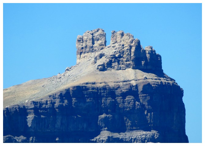
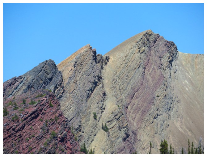
Close-up of Victoria Peak's summit block
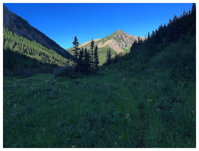
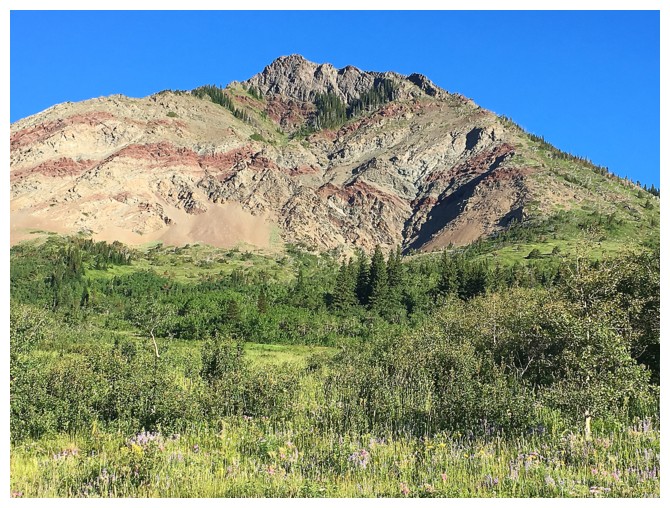
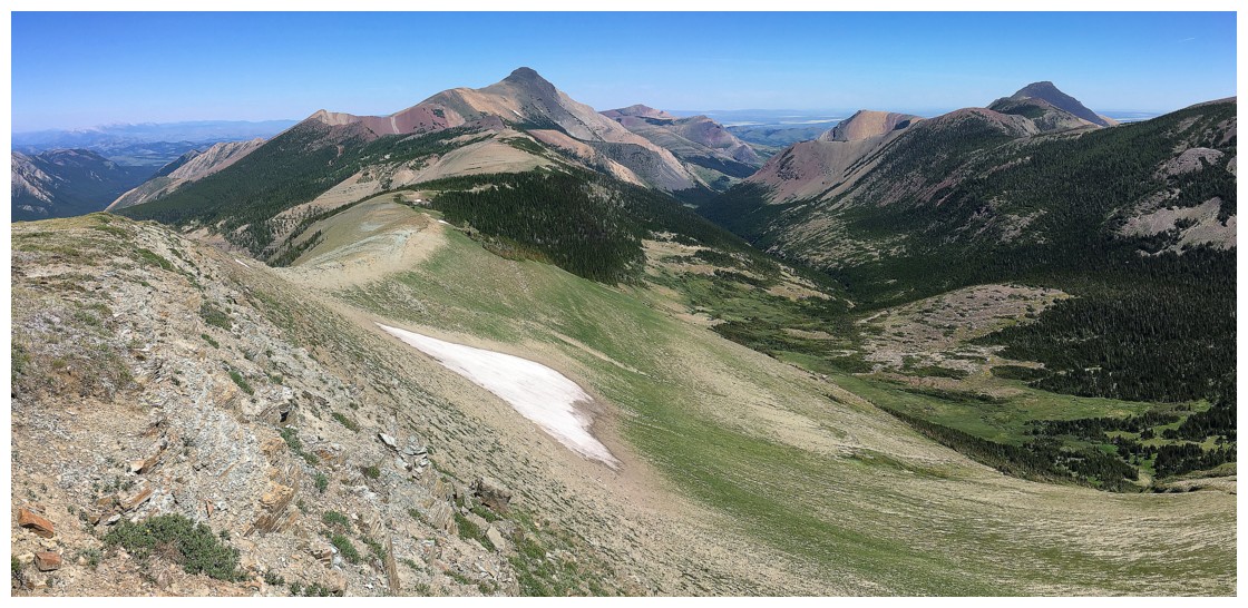
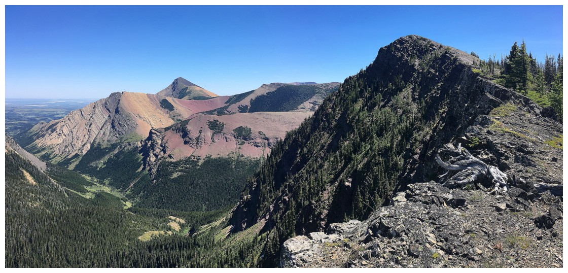
Still shady in
the valley. The prominent highpoint between the summit of the Ridge and
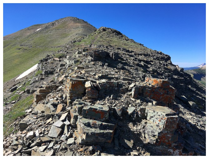
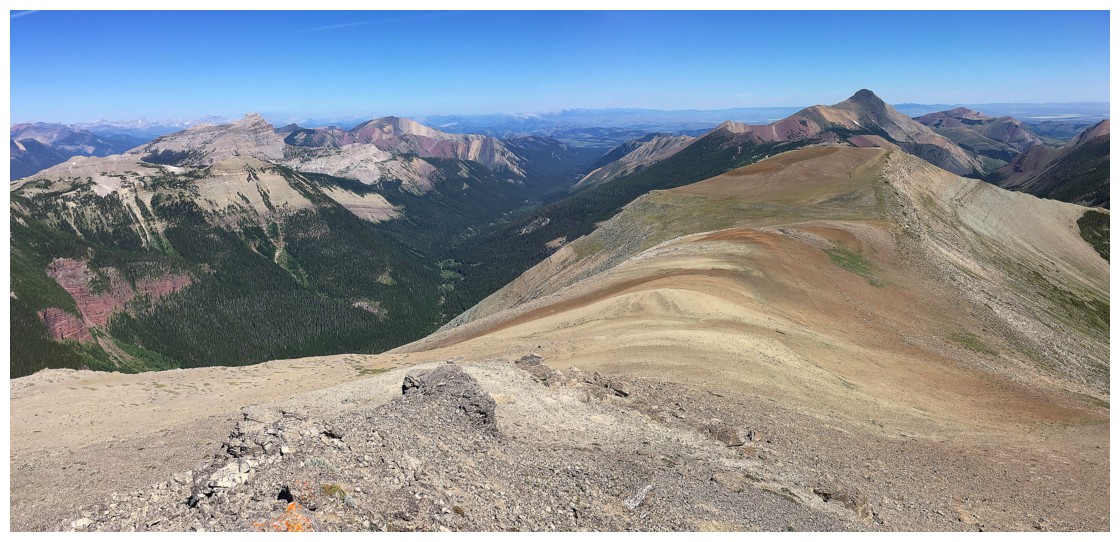
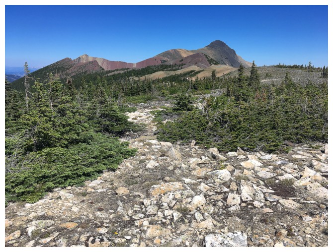
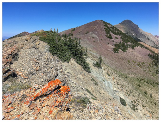
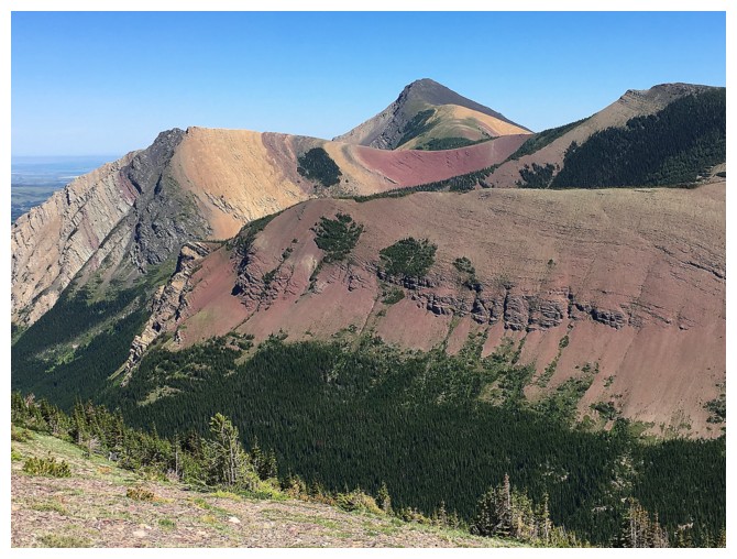
the Peak makes an awesome objective in itself
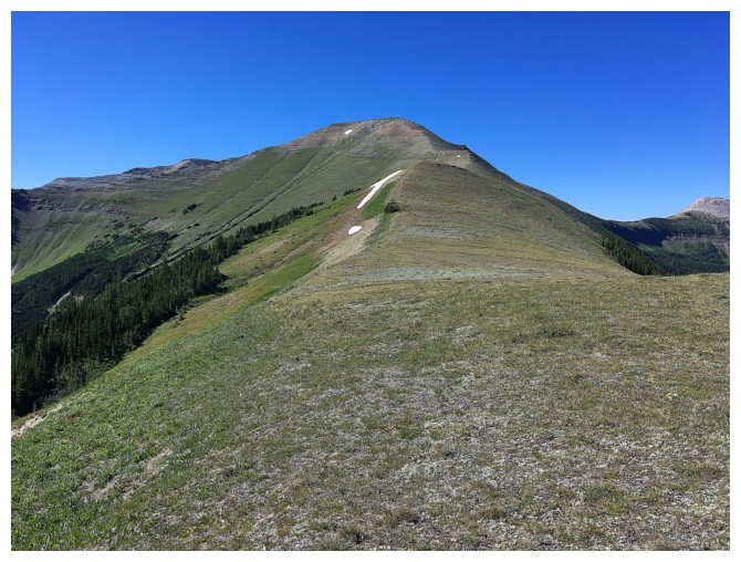
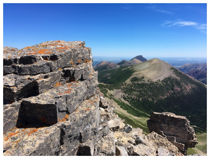
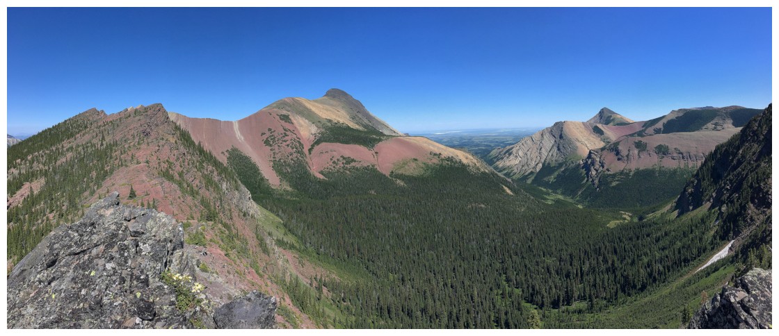
The highpoint. The Victoria Ridge trail traverses the lower slopes of the highpoint.
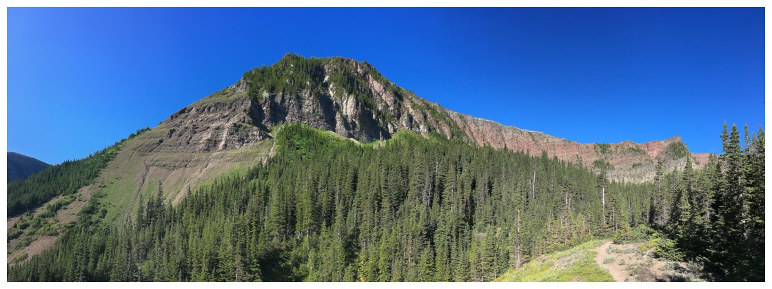
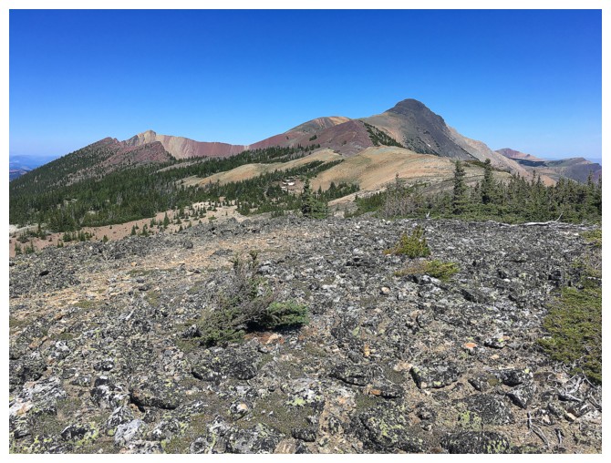
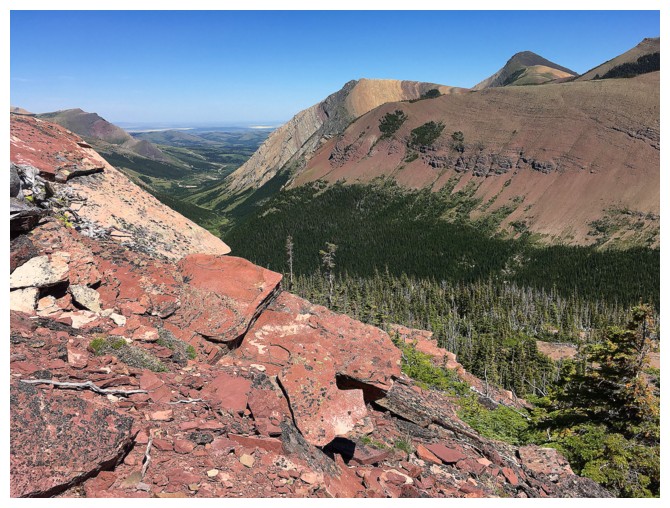
A different angle to view the highpoint
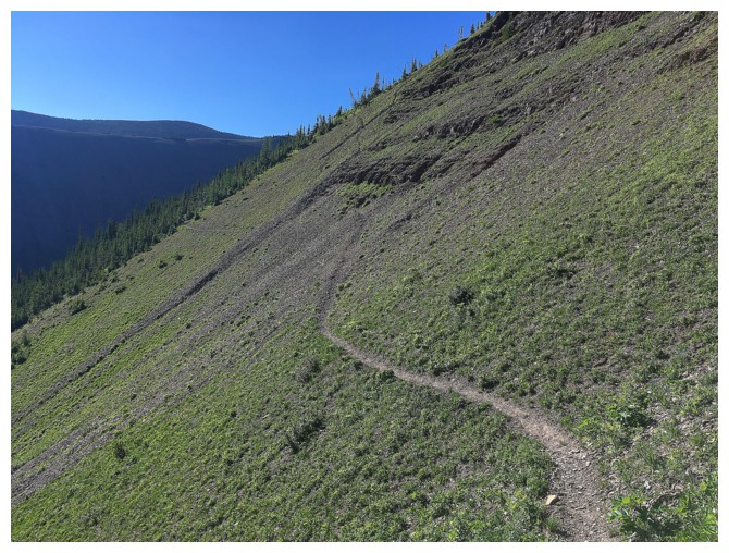
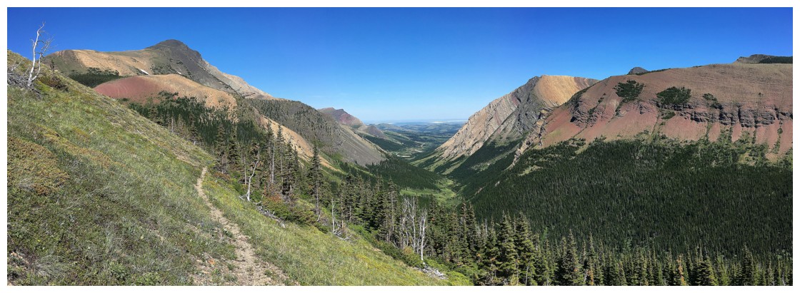
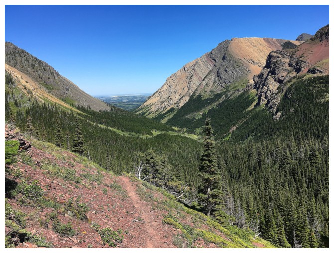
The wonderful trail that traverse the highpoint's slopes
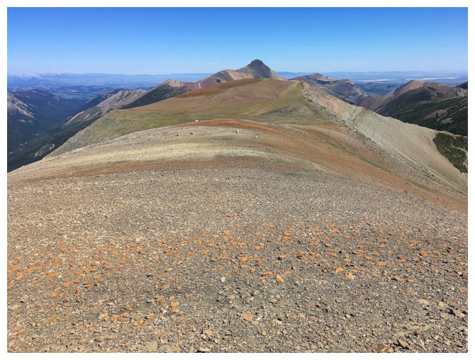
Looking back at the trail and Victoria Peak
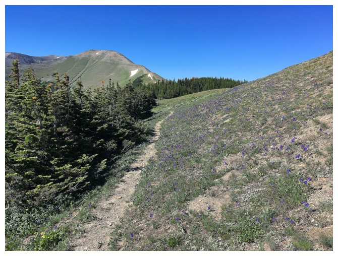
Looking forward to Victoria Ridge
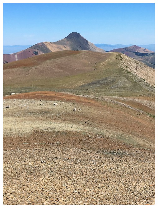
and again
Backwards......
......forwards!
A BIG block of rock
...and with the traverse to Victoria Peak behind
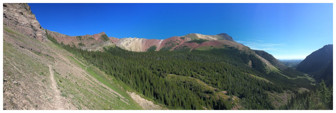
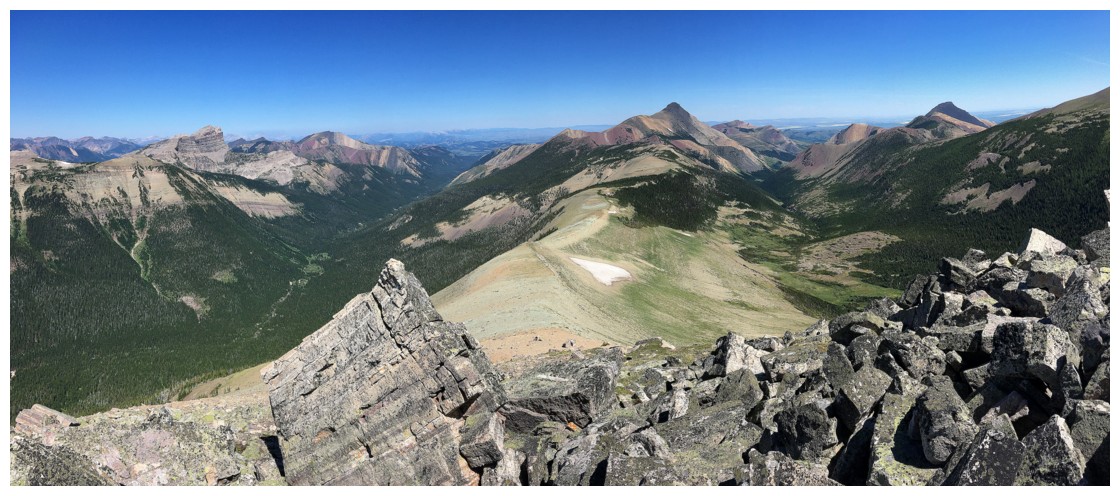
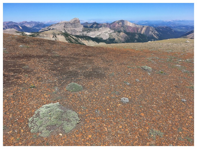
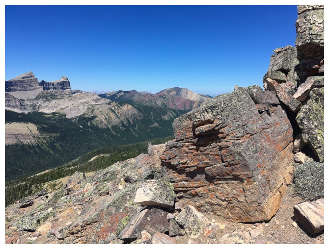
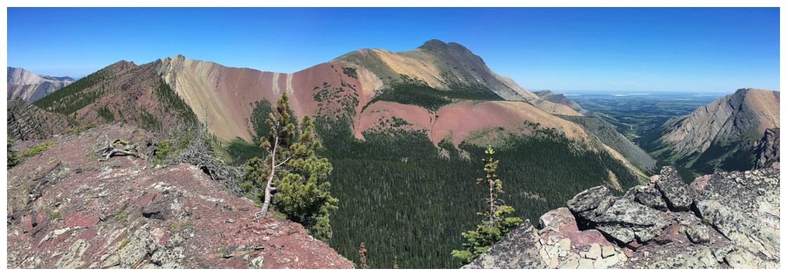
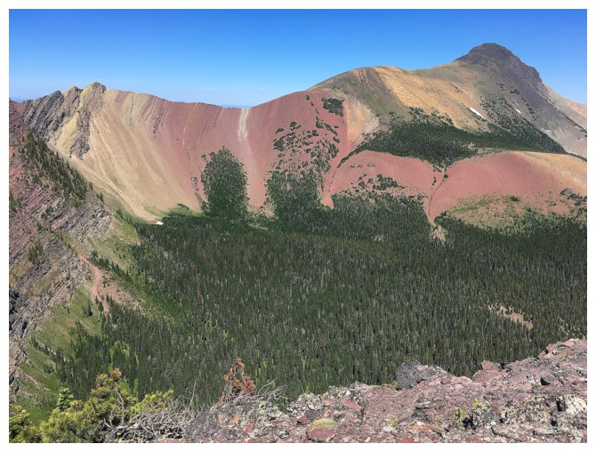
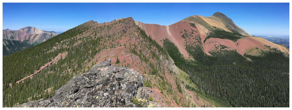
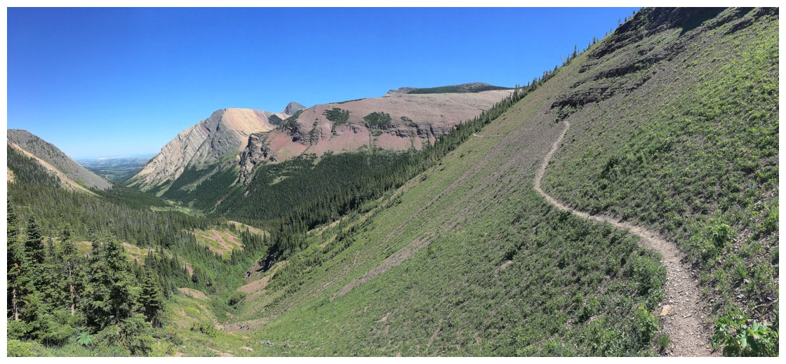
Beautiful landscapes abound
Mount Gladstone
Mount Haig
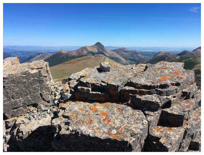
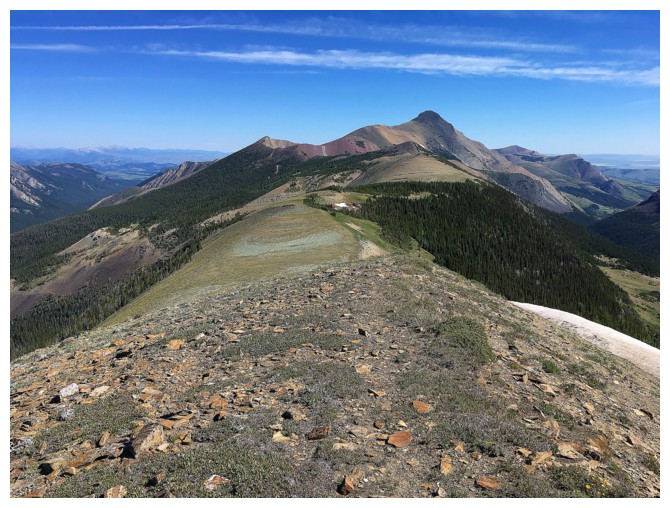
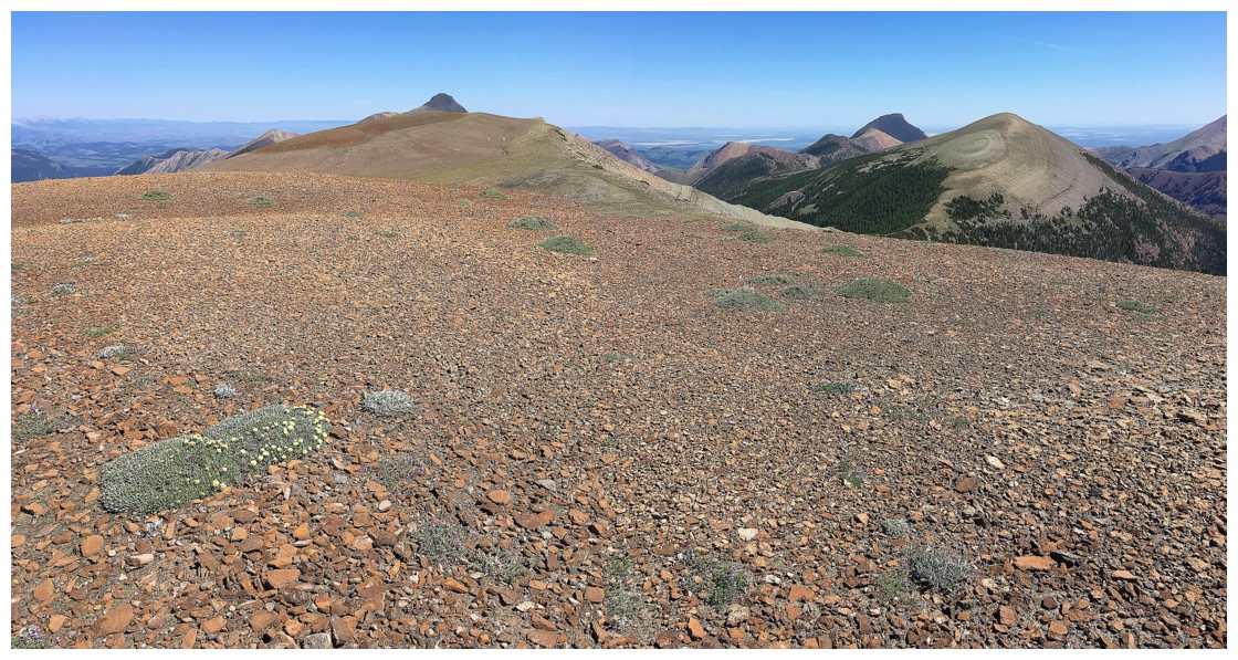
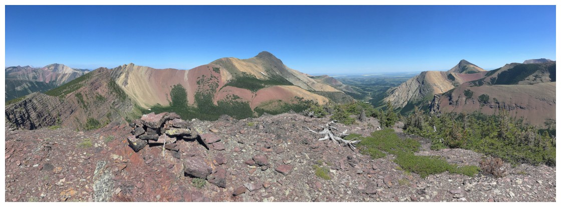
At the summit
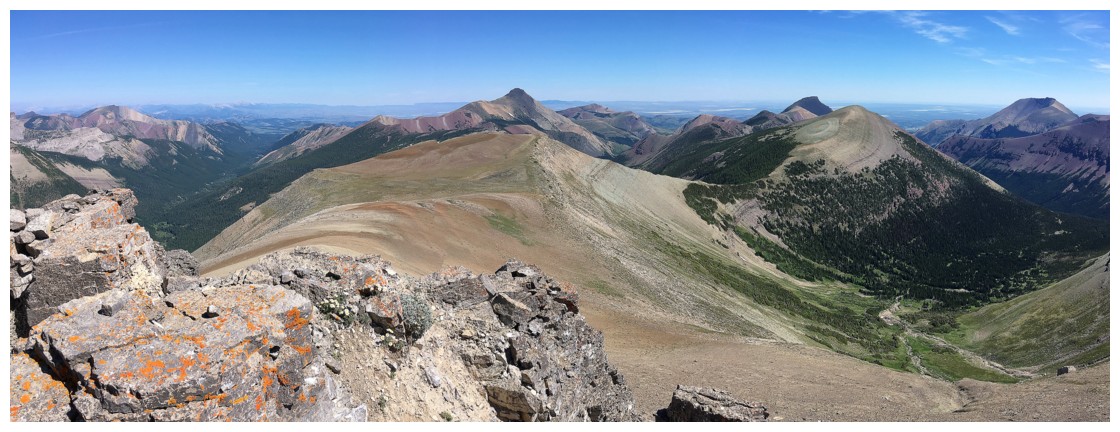
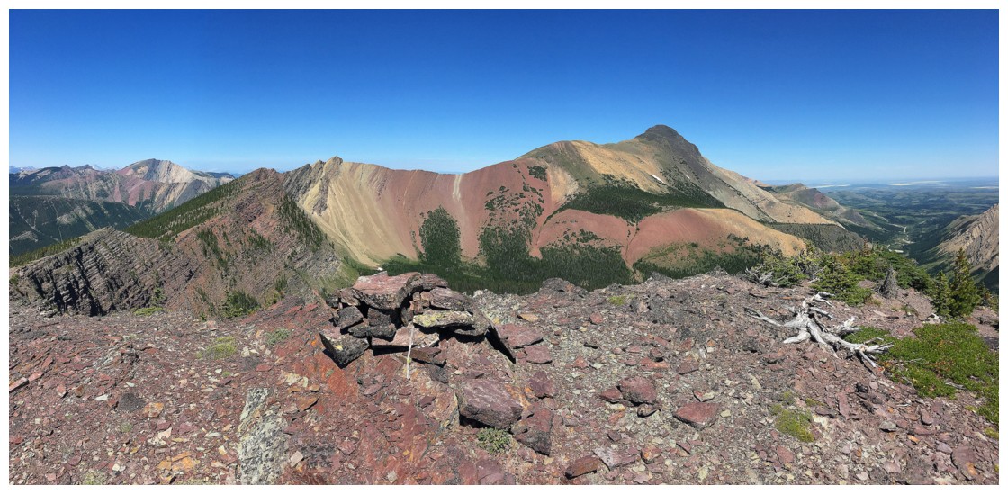
The Usual Suspects: Gladstone, Victoria, Pincher Ridge and Drywood
Some other Suspects
Scarpe and Jake Smith
Starting down to do some of the best traverse in the Rockies
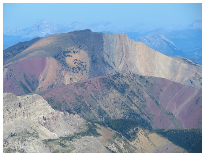
Great colours and hues that will soon get even better
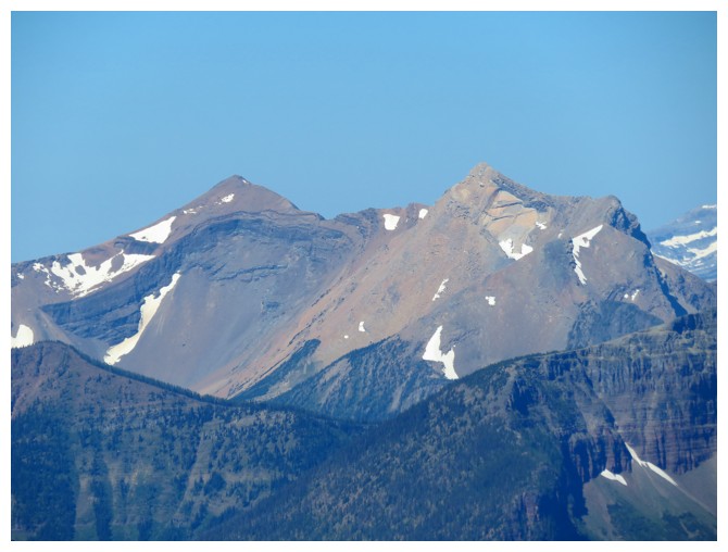
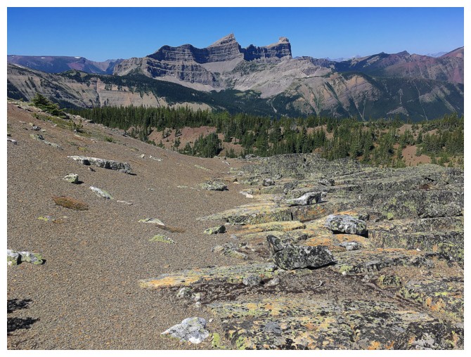
Windsor Mountain and Castle Peak
A section of shockingly white rock
Then a sandy section alongside more colourful rock
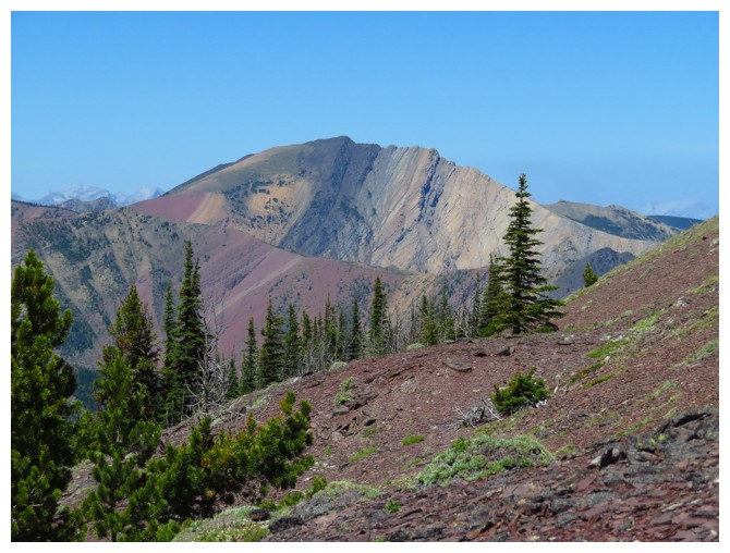
Close-up of Castle Peak
Gladstone again
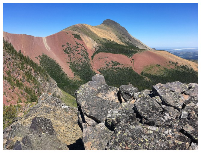
At the summit of the highpoint
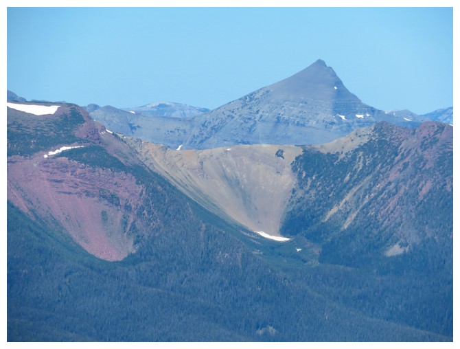
The views of Victoria Peak from this point on are outrageous!
Some of the terrific terrain farther along the traverse
Looking back to the highpoint
Pincher Ridge
Heading down to the trail
Back on the trail for the descent
The traverse back along the lower slopes of the highpoint
The End