Wasootch Peak VII
April 16, 2023
Mountain height: 2352 m
Elevation gain: 914 m
Round-trip time: 4:10
Scrambling with Mark.
Another conservative route choice
during the hellish avalanche season of 2022-23.
A number of years had passed since I ascended
Wasootch Peak, via what has become the “standard route” (courtesy of Bob Spirko),
and Mark had never been up this way. A front-range peak that was likely to see
the best weather and unlikely to have avalanche concerns was a logical choice
for the day.
Nothing much new to report, just a ringing
endorsement of what a terrific route this is in general: straightforward, fantastic
views above treeline, and interesting terrain, also above treeline. Mark loved
it and I had more than one chuckle, recalling a humorous ascent in similar
conditions, 14 years earlier with two work colleagues.
That's all she wrote!
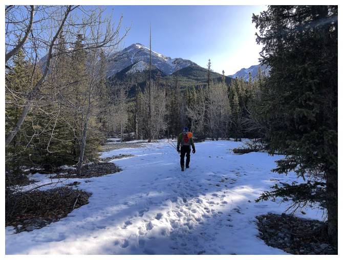
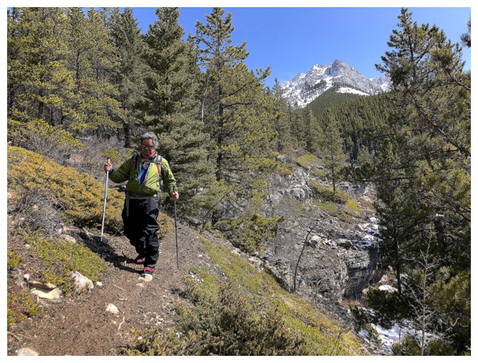
Off we go
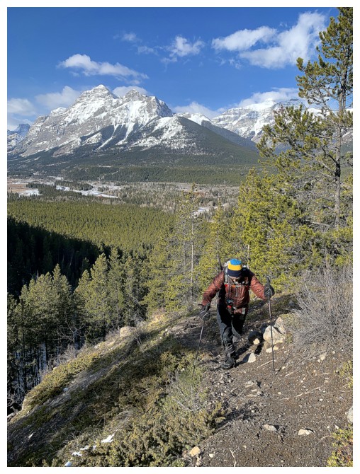
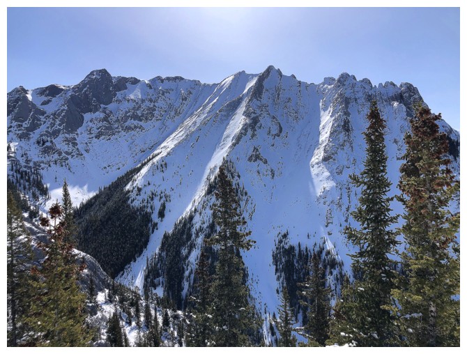
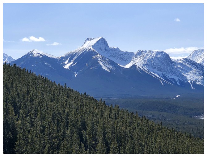
There are a few open views, mainly featuring Mount Kidd, but in general not much until treeline is reached

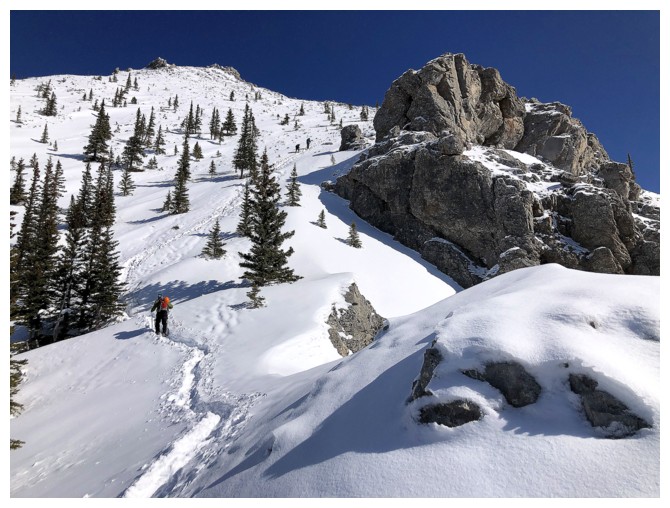
Nearing treeline the view very much opens up
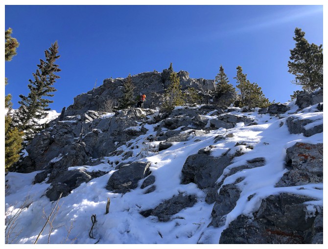
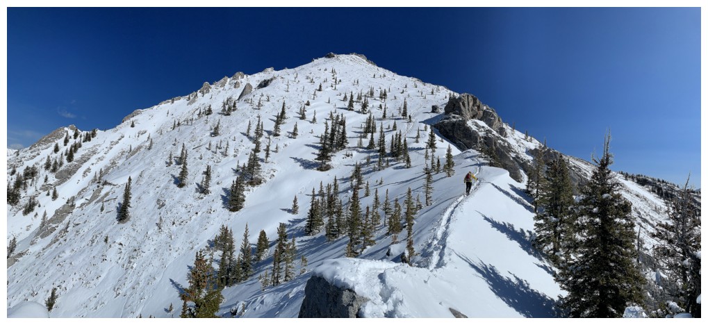
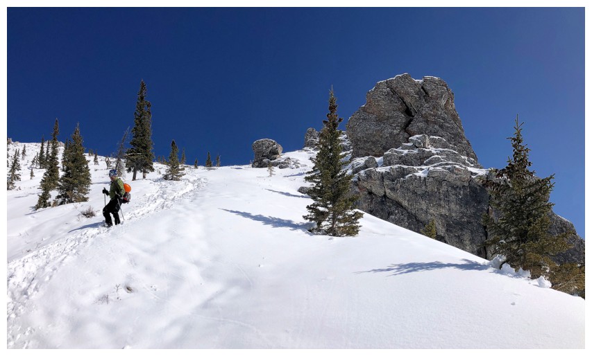
The forest also gives way to more rocky and interesting terrain
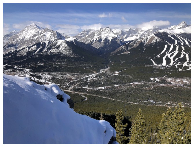
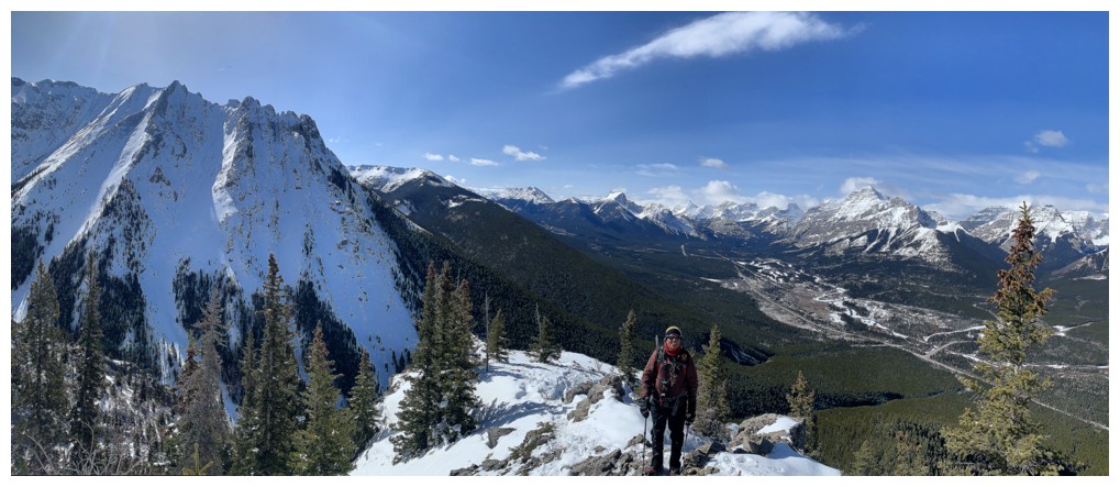
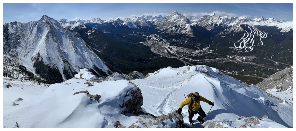
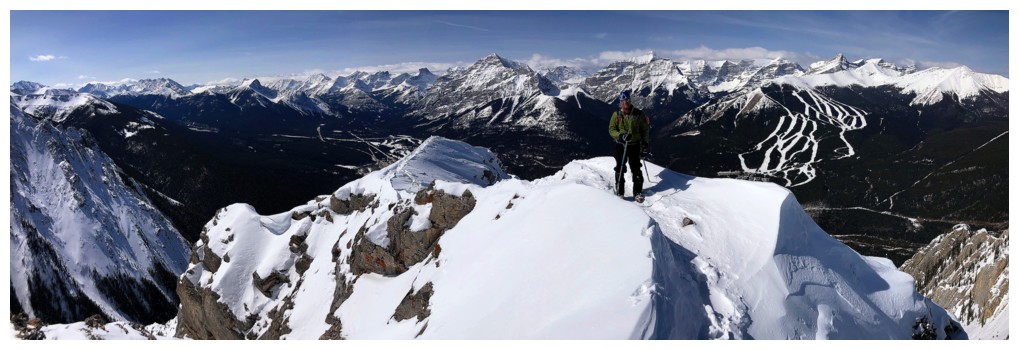
Kidd, Bogart, Ribbon, the Nakiska ski hill, and Wind
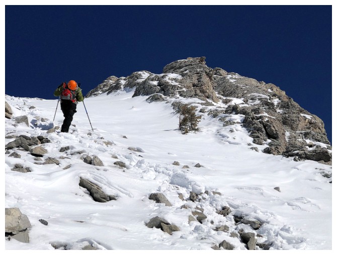
The summit at the right, but the route is out of sight off to the right
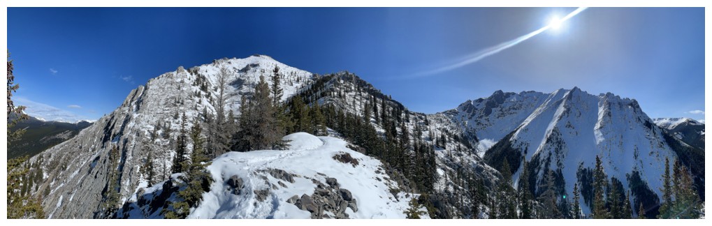
Pano photos do weird things to the Sun's rays!
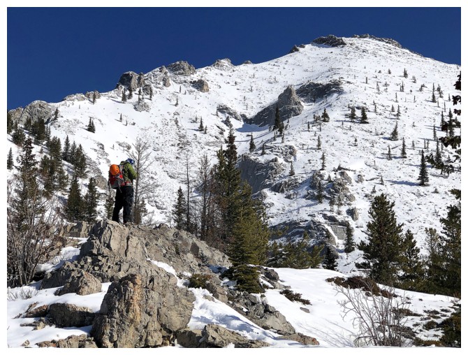
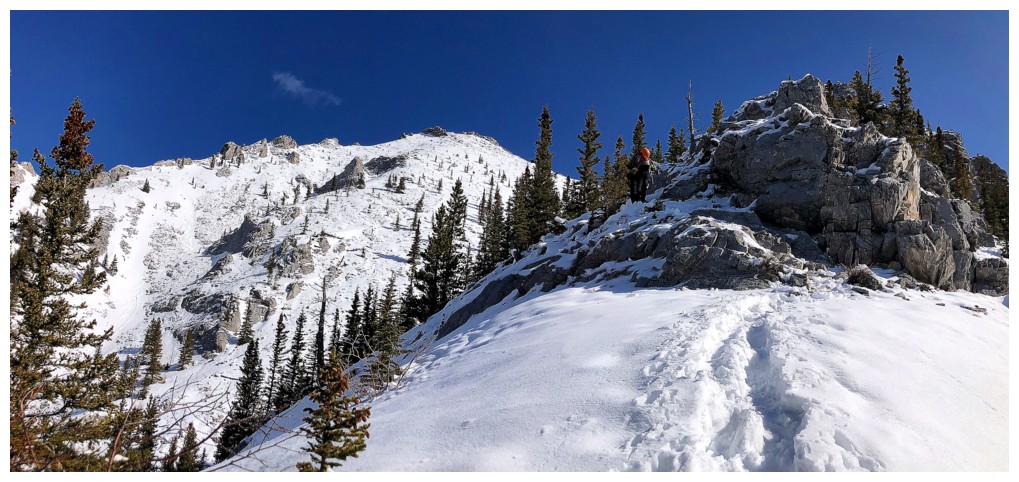
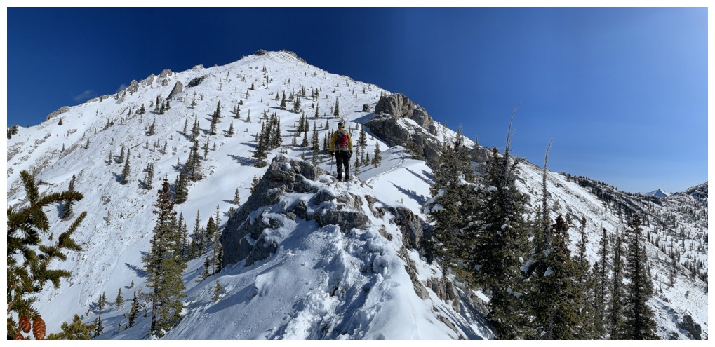
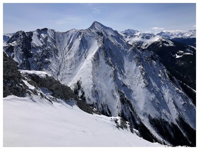
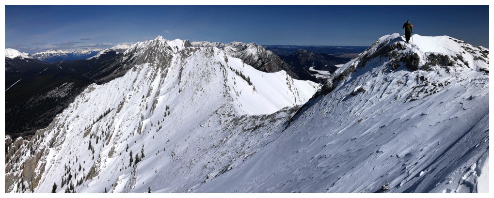
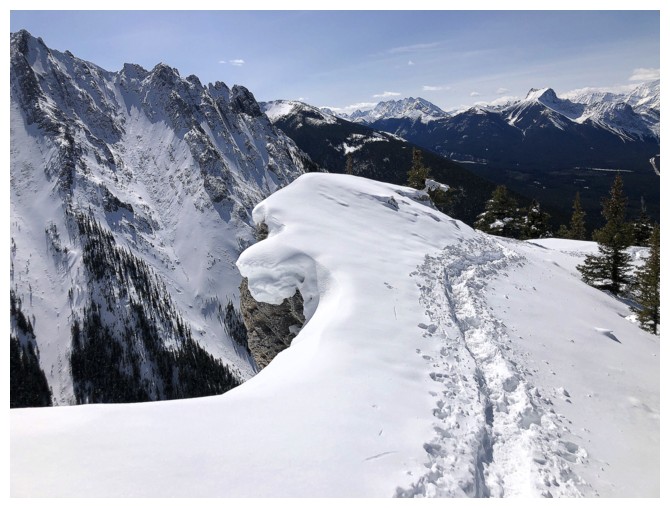
The ridge from GR338442 (right) to Kananaskis Peak (left) is a cool ride
Scenic highpoint
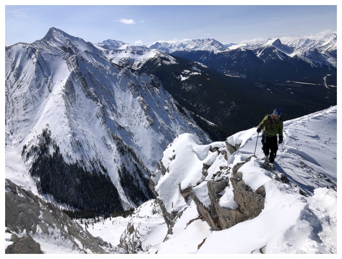
Circumventing the next rockband
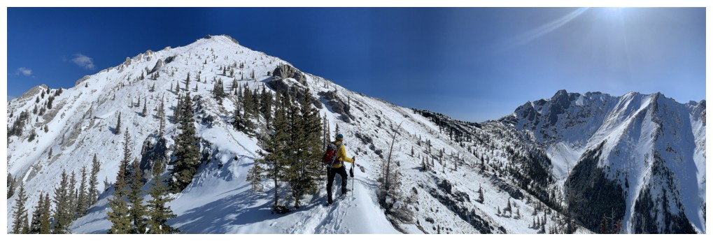
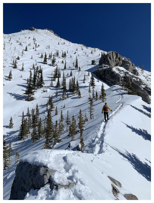
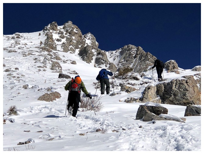
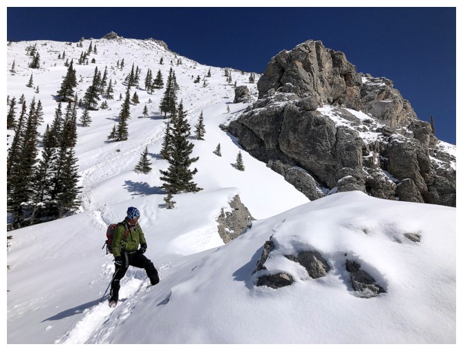
Continuing the fun and easy travel with great views
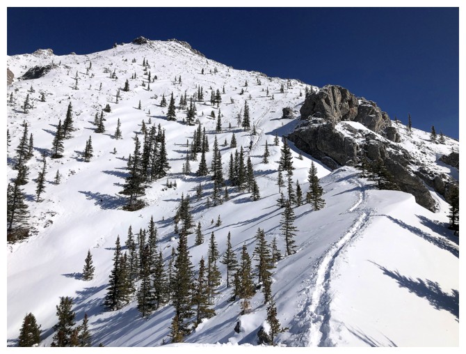
The upcoming section is steeper but there's a snow trail all the way up
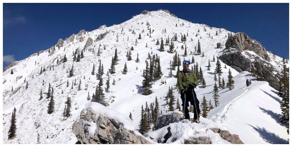
Another scenic highpoint
And more gratifying views of the mountain
Same as above
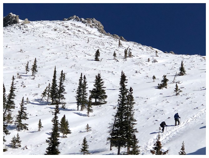
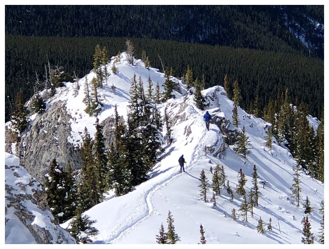
There's a couple ahead of us helping to break the trail
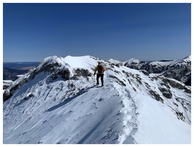
One of my favourite sections of the ascent
Mark is catching up to the pair
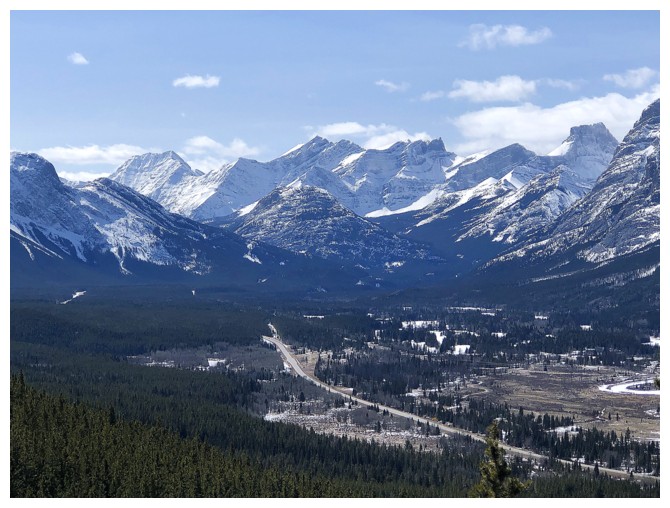
Tiara Peak in the distant centre
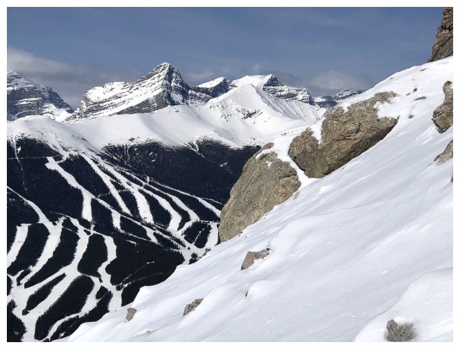
Wind and some of the Nakiska ski runs
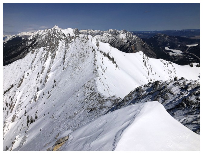
Old Baldy Mountain asserts itself as the highest peak on the massif
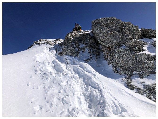
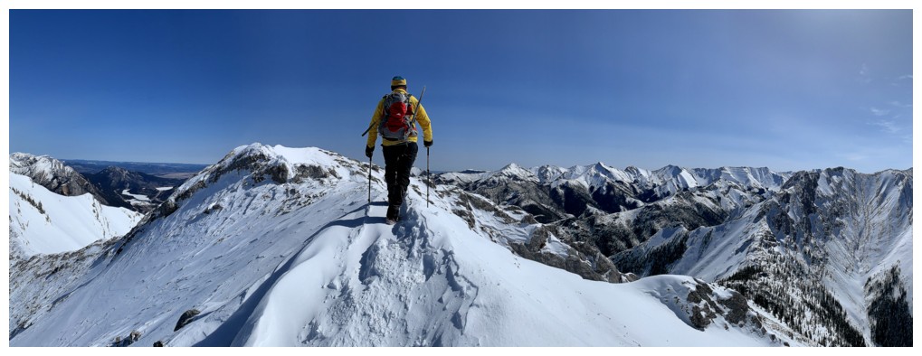
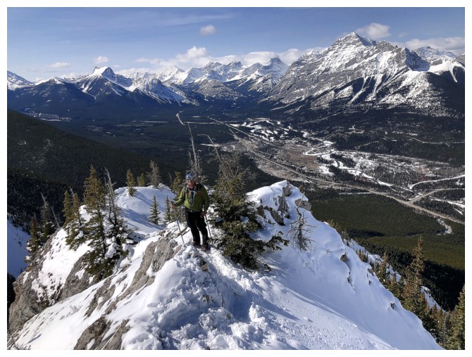
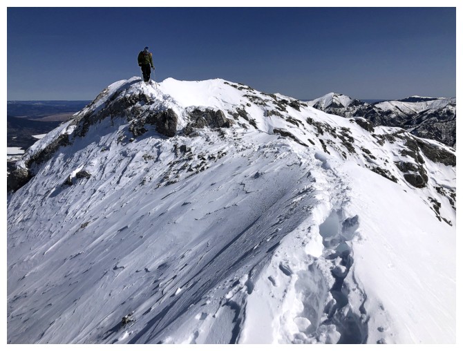
Mark tops out on the ridge
Last few steps for me up to the ridge
It's a short distance to the summit
View to the north summit of Wasootch
Mark completes the ascent
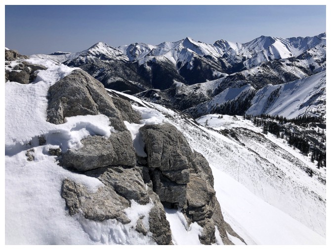
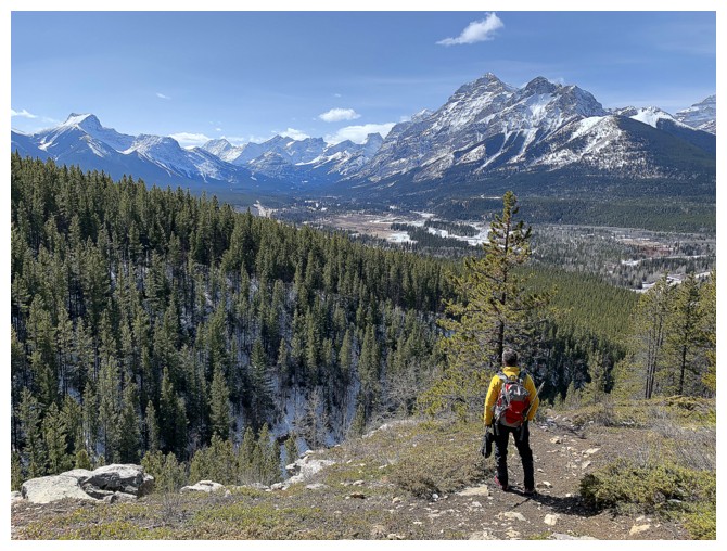
Mark and the view to the west and southwest
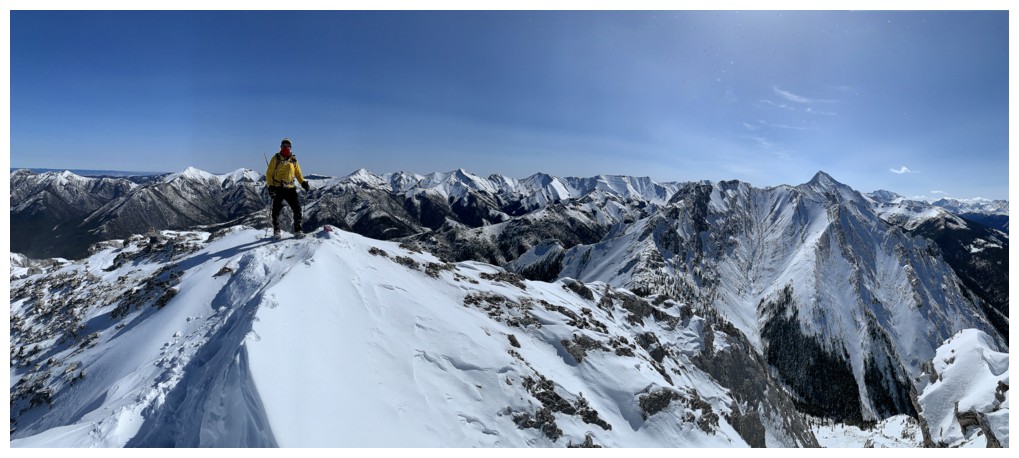
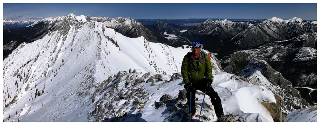
Me and the view to the east, southwest, and south
No Humans
No Humans - the sequel
View to the north, and northeast

Last summit pano
Starting the descent
Same as above
The pair we met on the way up are making good progress down the mountain
Back to that cool rock band
Nice travel nears the edge of the ridge
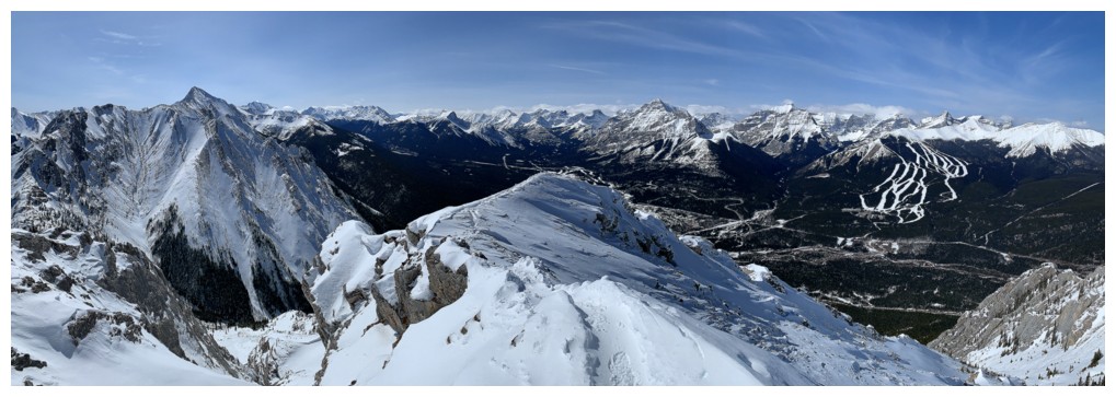
The Wedge
Inflexible, James Walker, and The Fortress
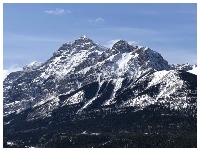
Kidd
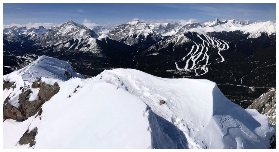
Last view before we descend into the trees
GR338442 in the background
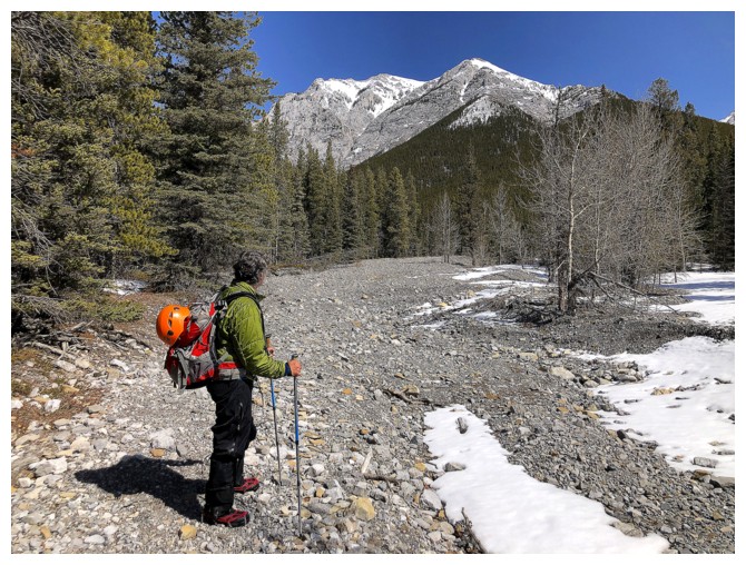
End of the trip and looking back up to Wasootch
The End
LOG