Avion Ridge II
July 6, 2022
Mountain height: 2420 m
Elevation gain: 1000
m
Round-trip
time: 7:45
Solo scramble.
Two summers
earlier, on the way to the Sage Pass area, I spotted a potential direct route
up Avion Ridge just before reaching the Snowshoe Campground. Given my last and
only visit to Avion’s summit occurred 16 years earlier, I couldn’t resist
another run up the mountain.
After biking
about 7.3 km of the Snowshoe Trail, I arrived at the bottom of the ascent route,
due south of the summit, and started up. In short, the ascent could be divided
into three sections: 1. A relatively easy hike through mid-thigh level
vegetation; 2. A very enjoyable route-finding scramble up through terrific
bands of colourful rock; 3. A foreshortened, soul-sucking, scree slog to the
summit!
Having
endured
#3, it is unlikely I would ever repeat this route. The ascent via Goat
Lake is
easier, and far more scenic. The unexpected overcast skies were perhaps
also to blame for my lack of enjoyment of the route - or more
accurately, my infantile, whiny demeanor, pertaining to those overcast
skies!
For descent I
decided to hike northwest to the arm extending in that direction from the
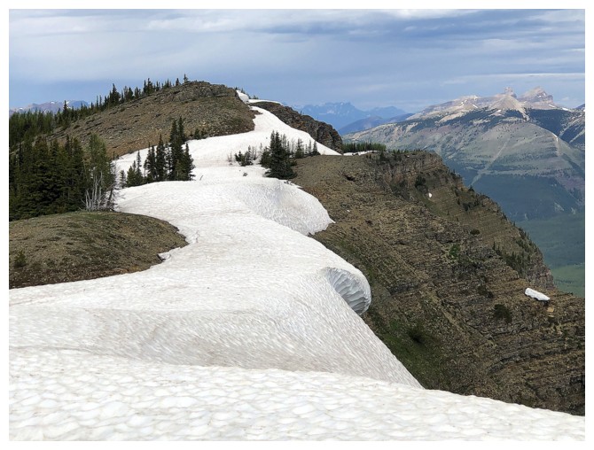
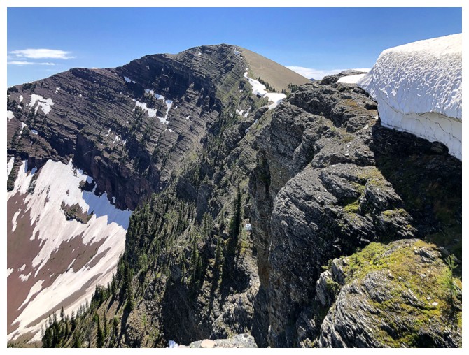
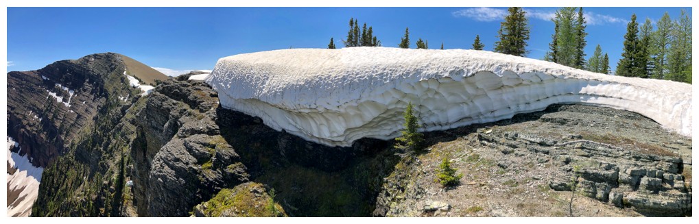
summit. This was the scenic highlight of trip, featuring large cornices and
good views down the precipitous northeast side. After backtracking for about
500 m, I then followed a trail down to the col between the arm and one my
favourite summits in Waterton – Sage Senior.
The last order
of the day was a quick visit to Lost Lake – and quick it was. The view of the
lake is fairly lacklustre and there is no trail around it. The best view of the
lake is definitely from above – Sage Pass Peak or Sage Senior. The remainder of
the trip on very familiar terrain was exactly that – familiar!
Not the great route I envisioned, but still a
rewarding return to Avion Ridge and the surrounding area.
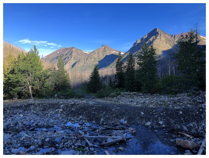
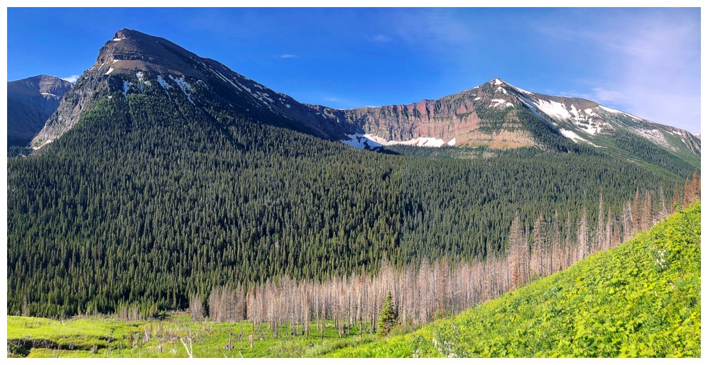
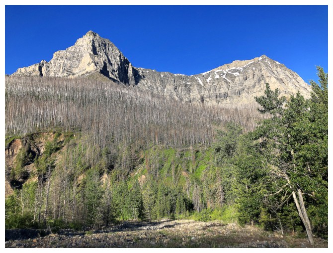
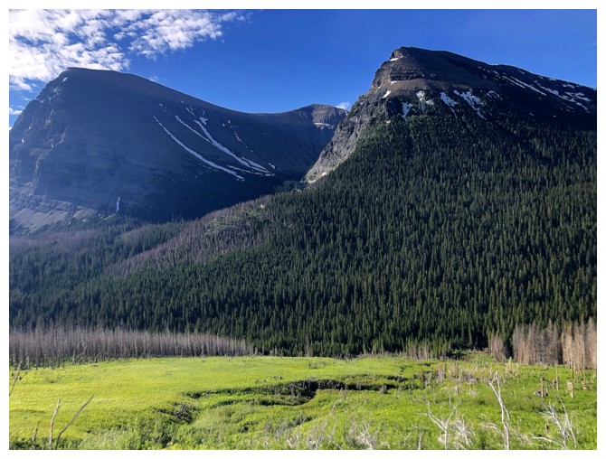
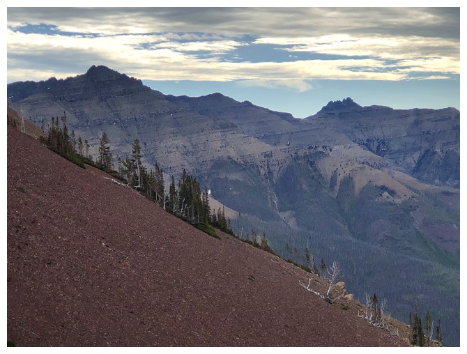
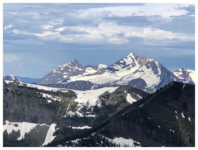
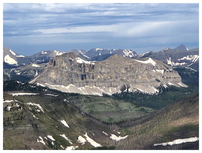
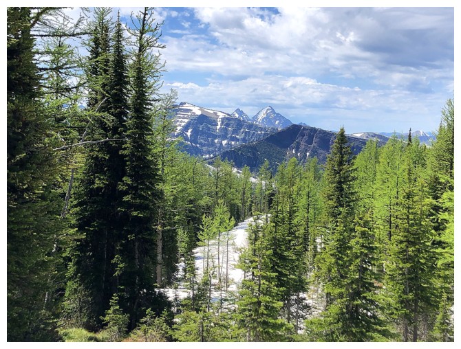
My usual stop at one of the two creek crossings to photograph the surrounding mountains. Avion at the left.
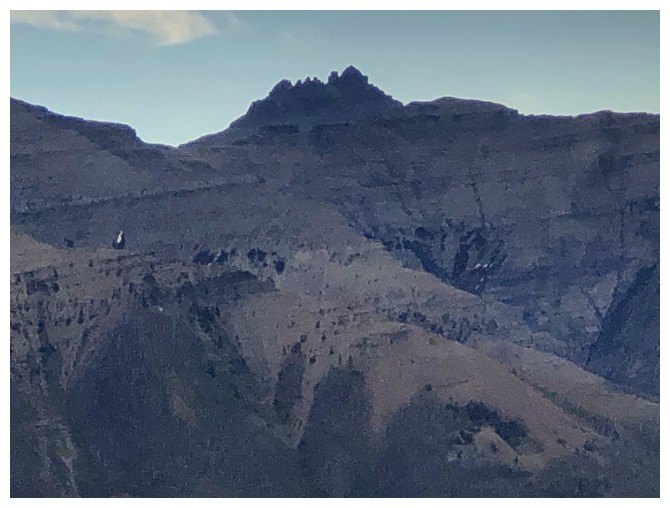
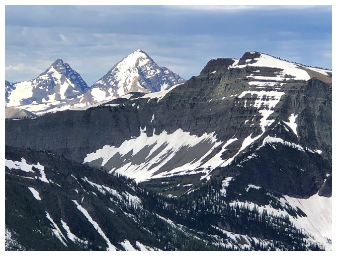
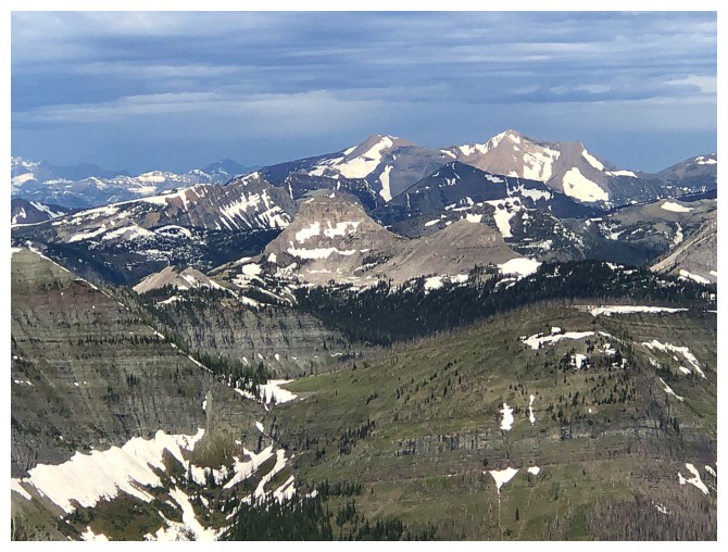
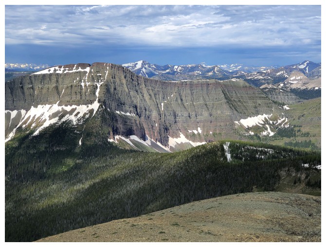
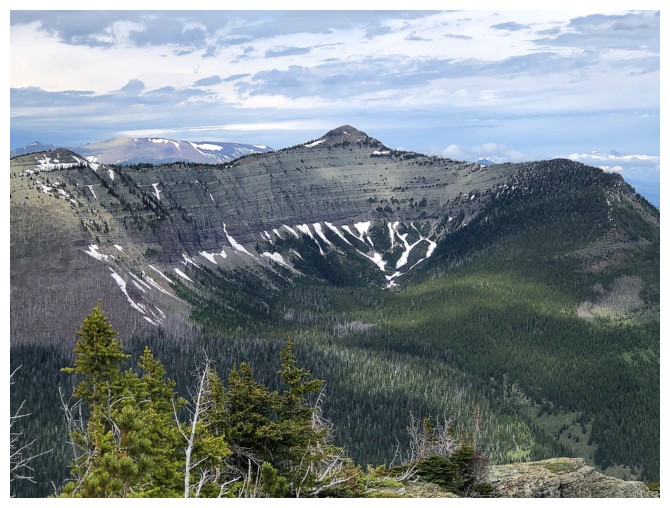
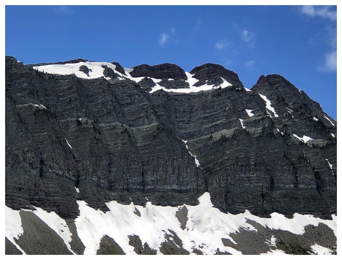
The fierce north side of Anderson Peak
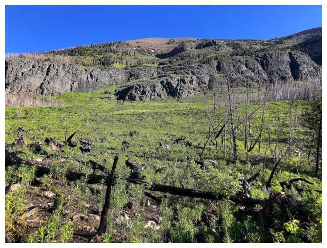
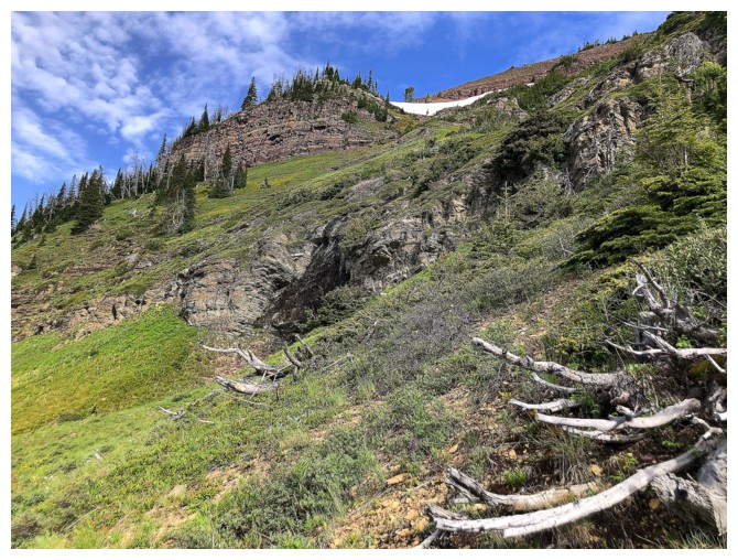
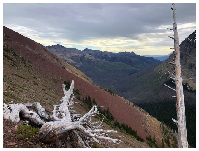
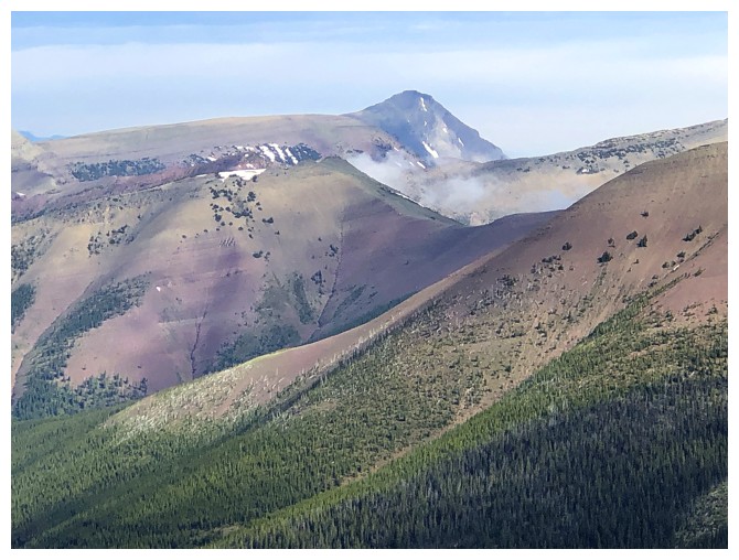
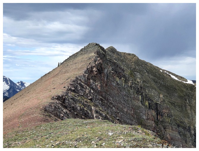
Looking up the ascent route
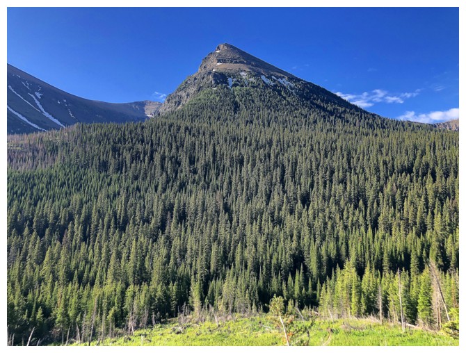
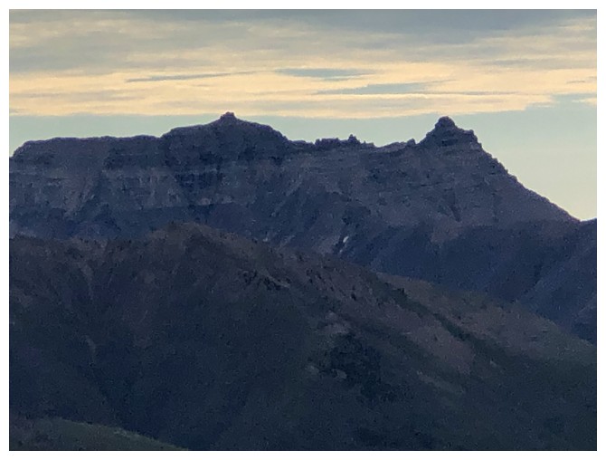
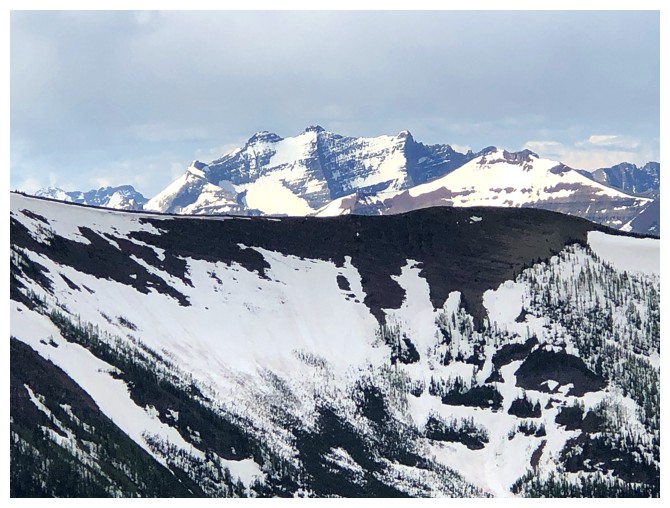
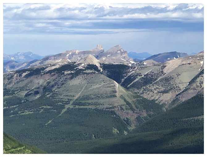
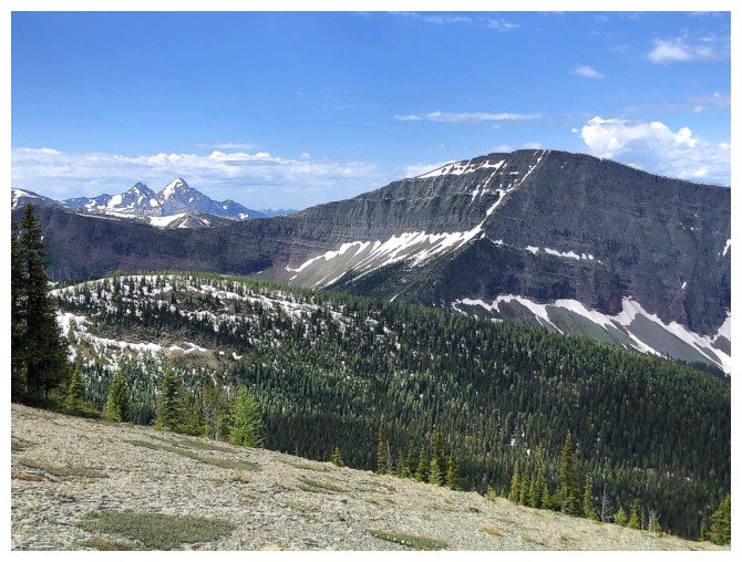
The north side of Kootenai Brown Peak
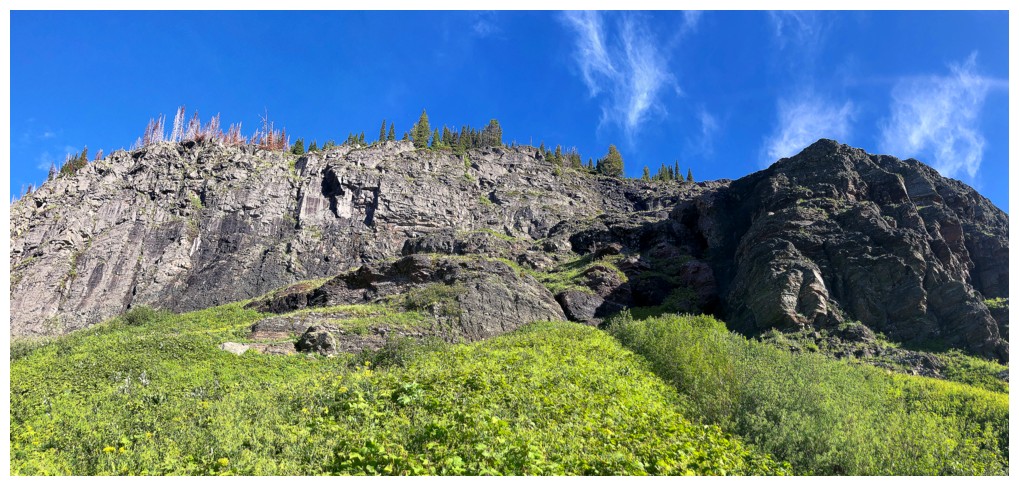
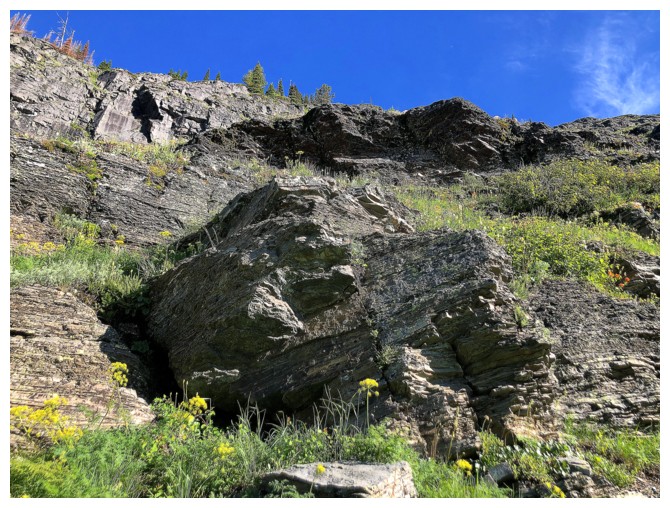
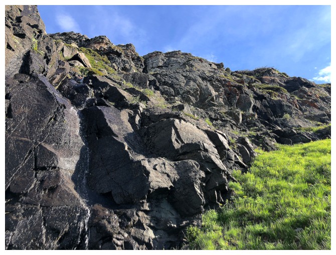
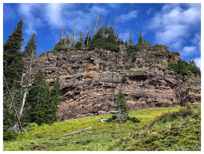
Approaching the first obstacle
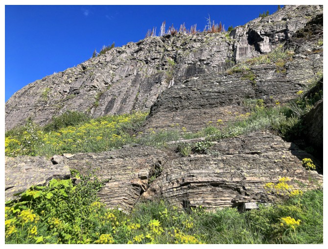
The rock for this section was fantastic (to look at, not necessarily to climb)
A few steps of minor scrambling but all avoidable
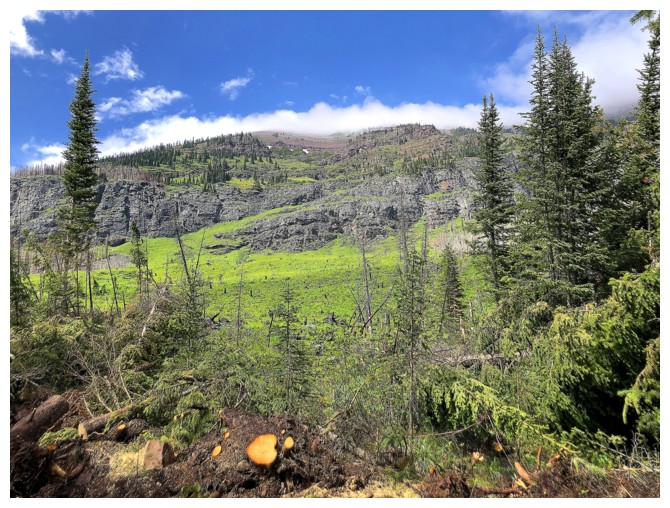
The bright green vegetation was one of the highlights early on
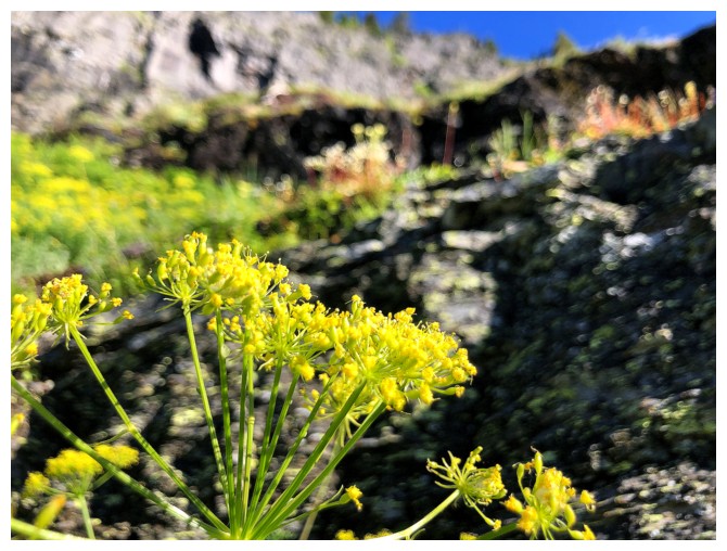
The yellow things weren't bad either (I'm still so embarrassingly clueless about botany in the Rockies)
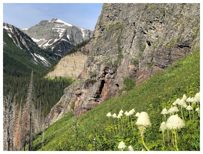
I do know, however, that the white things are beargrass (there's one!)
Easy route up alongside the great rock
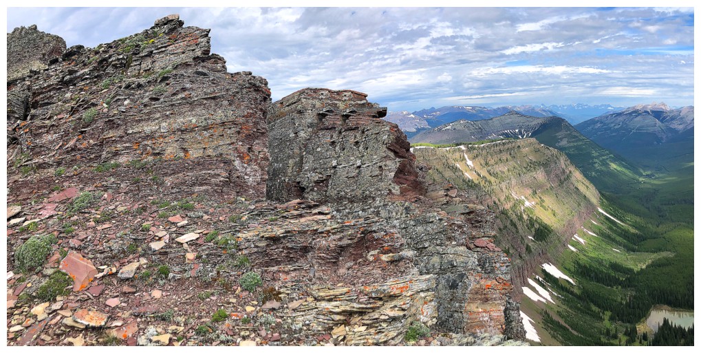
First sighting of a red argillite rock band
Close-up
Argillite and a close-up of Kishinena Peak - still one of many personal favourites in Waterton
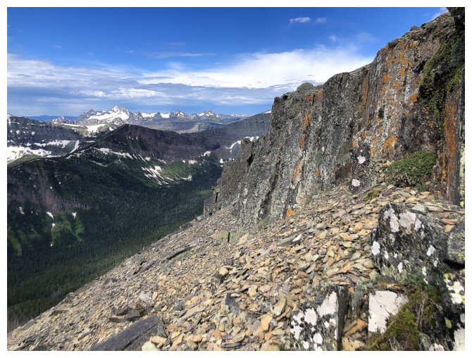
Above the rock bands is an endless slope of treadmill, red argillite scree
The scree, the green, and Anderson
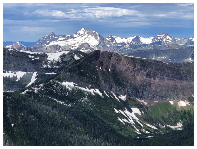
View to the east of mounts Glendowan (left) and Dungarvan (right): both on the "personal favourites" list
Close-up of Dungarvan
Galwey North (left) and Galwey
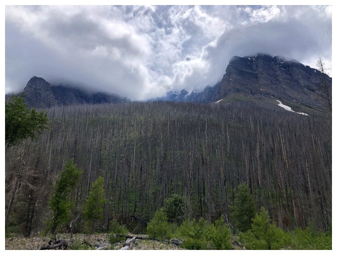
Some dead trees to add to the mix. Clearly, at this point I'm exhausted
from the foreshortened scree slog and taking photos to catch my breath.
The usual shot of Miskwasini and Kenow
King Edward, Starvation, and Kishinena
Long Knife
Sage Pass Peak in the foreground
The only real scrambling was this minor rock band just before the summit
Still stalling because the scree slog drained me!
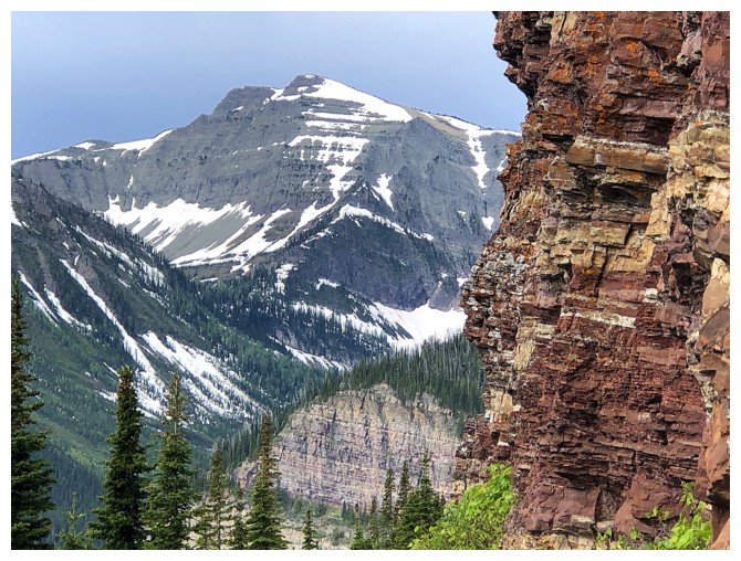
The view is worth stalling for though
Sage Senior
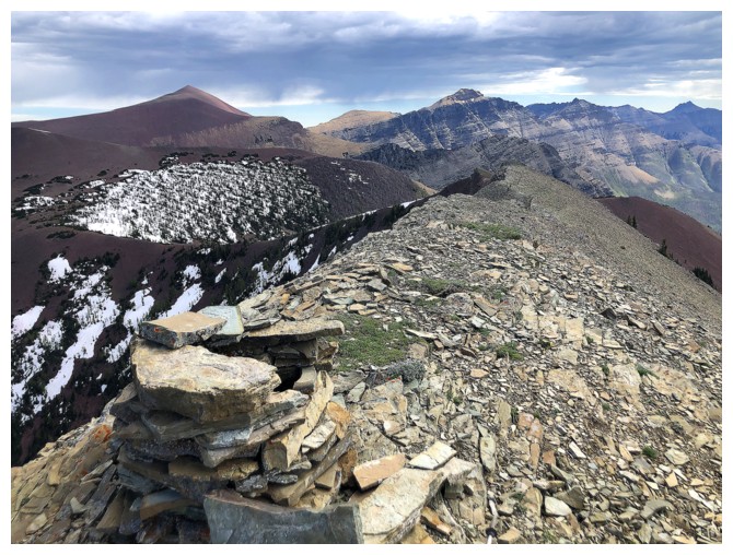
Summit cairn
Looking down the "normal" (sane) route up
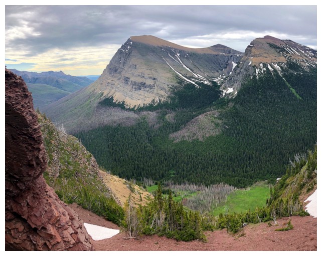
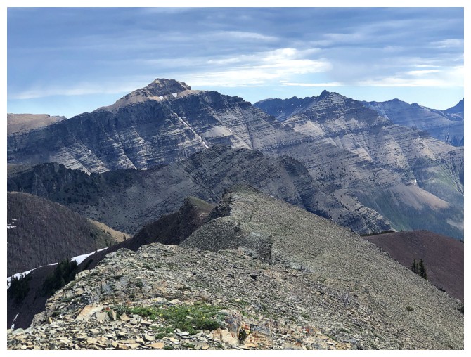
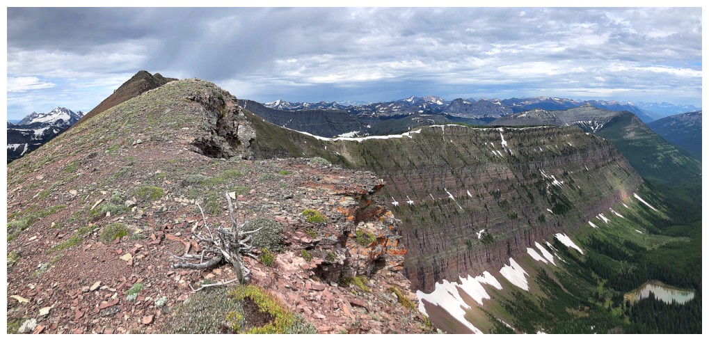
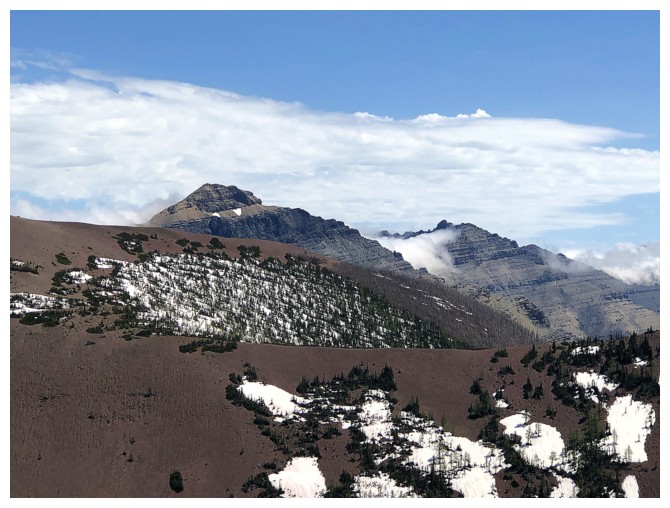
View to the northwest and the arm of the mountain I'm eventually going to check out
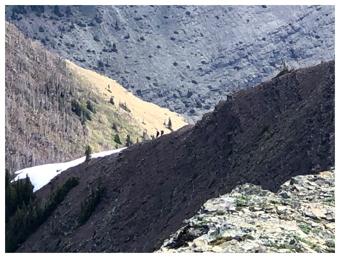
Spotted two hikers descending the normal route
Mount Matkin
Font Mountain in the foreground and Scarpe and Jake Smith behind
Castle Peak and Windsor Mountain
Pincher Ridge
Summit view to the north reveals a huge chuck of The Castle
Sage Senior again
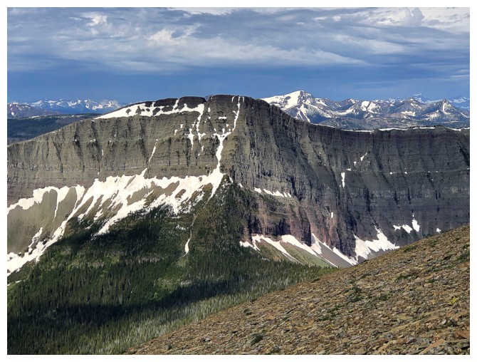
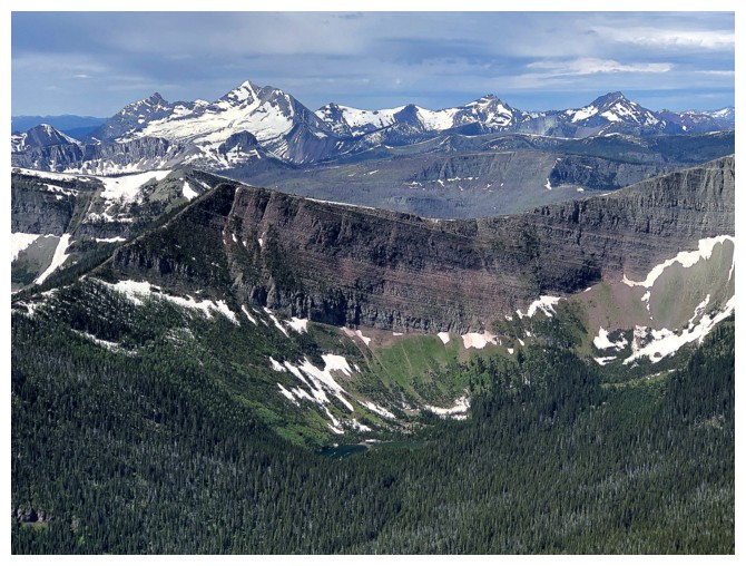
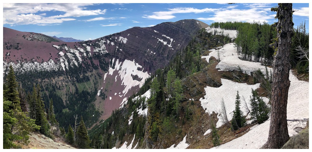
The steep north side of Avion and Glendowan
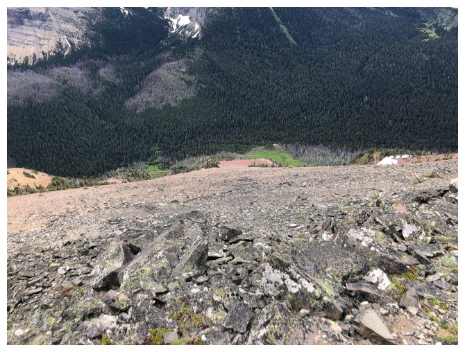
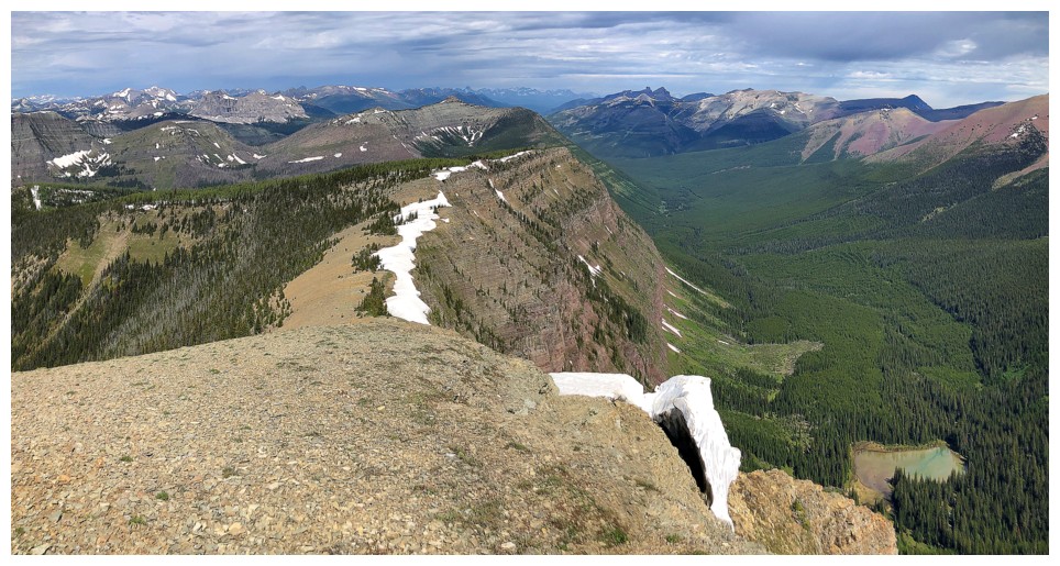
Looking down the ascent route - that's a "one and done"!
Summit view to the east
Looking back at the summit, as I go the wrong way. Decided to check out the lower highpoint to the east before going northwest.
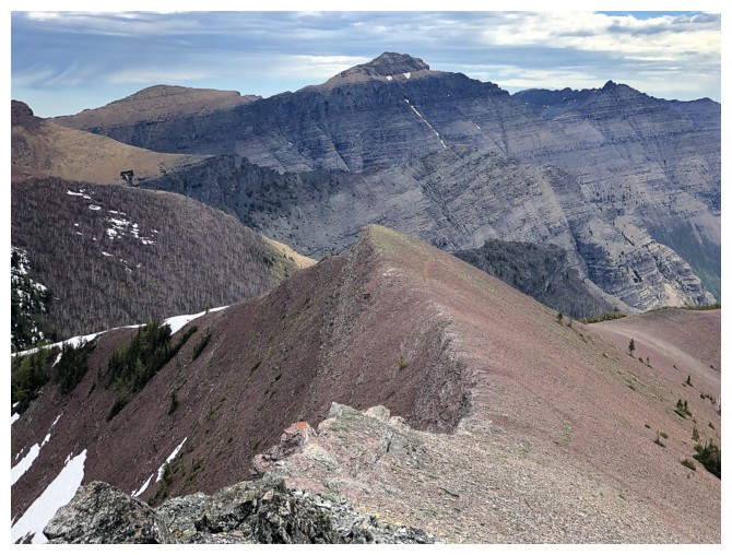
Descending the easy ridge
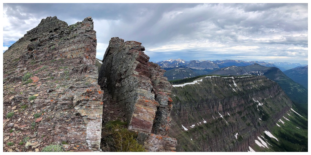
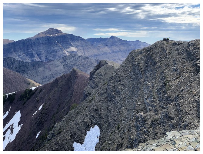
The east ridge has lots of cool rock
Like this stuff
Looking back to the summit
Same as above
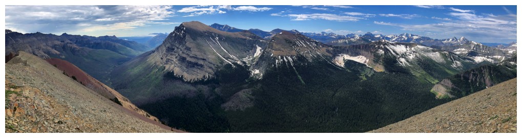
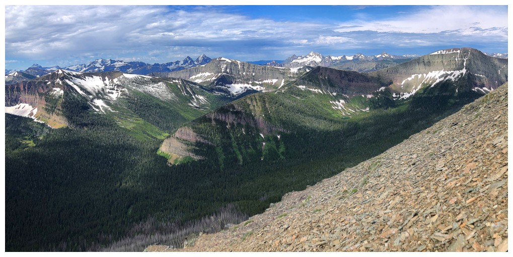
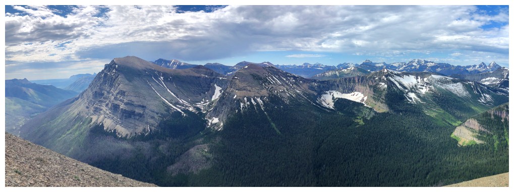
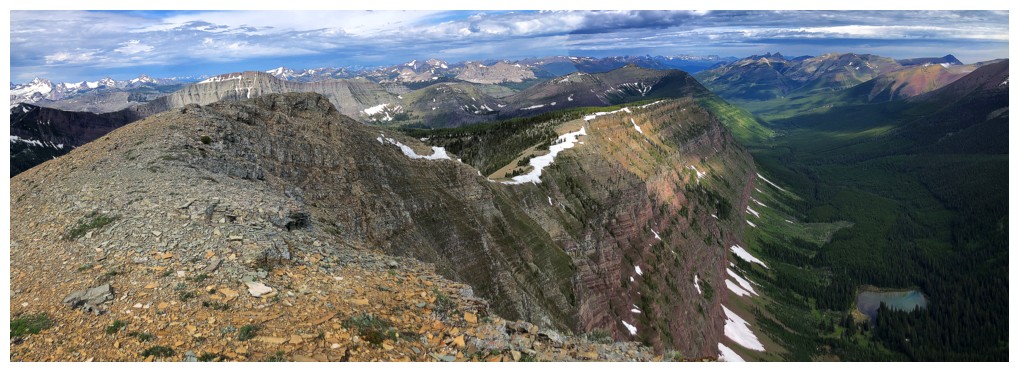
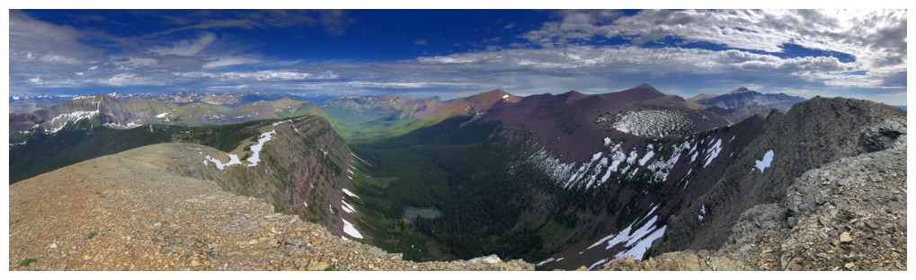
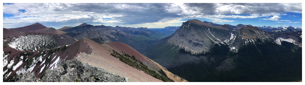
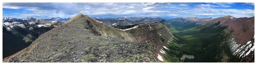
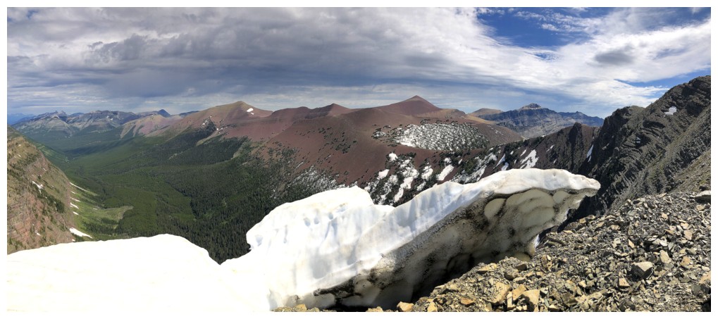
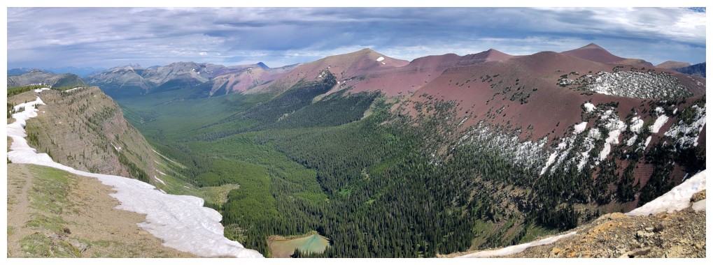
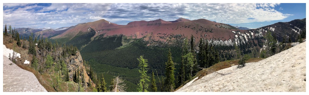
Pano...
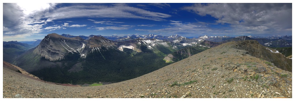
...pano
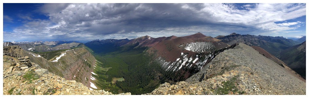
...and pano
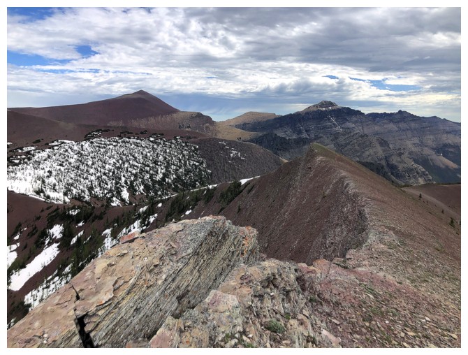
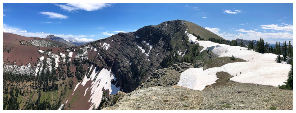
Back to the summit, looking west
Descending the west ridge
The next objective is the end of the ridge to the north
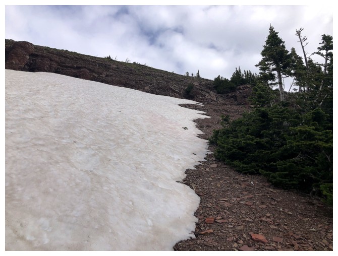
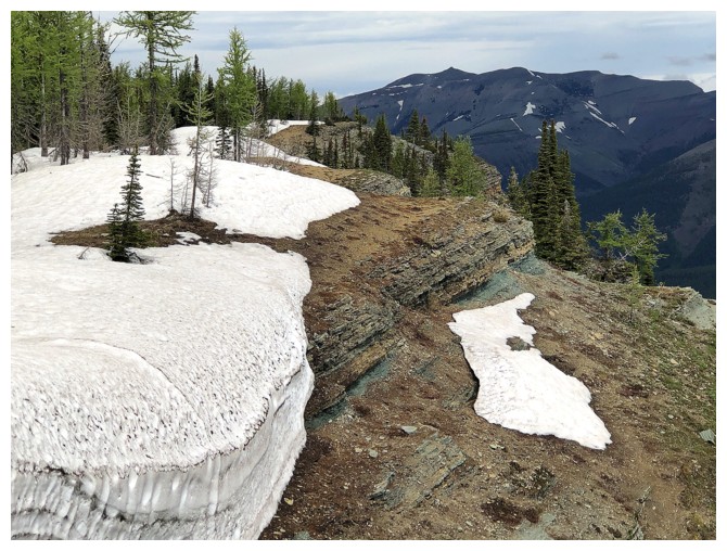
Remnants of winter
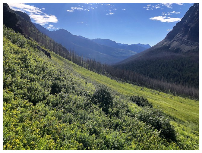
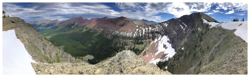
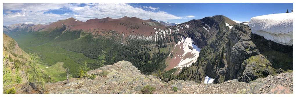
The lush valley west of Spionkop and a tarn
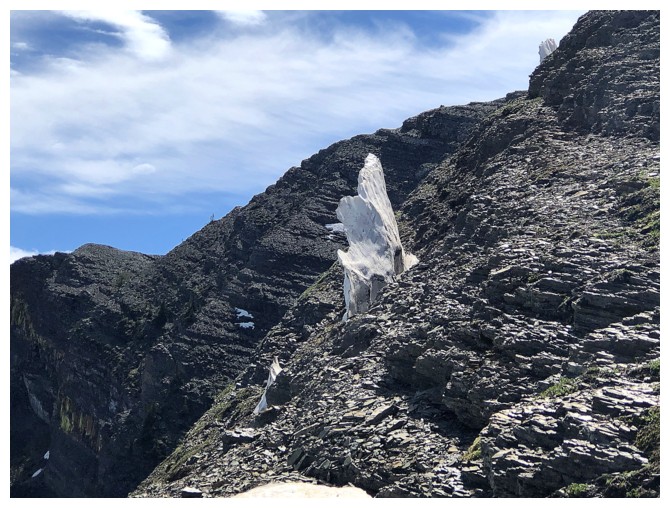
Way to hang onto to life!
Super easy travel
Love walking on the hard snow, but definitely not here!
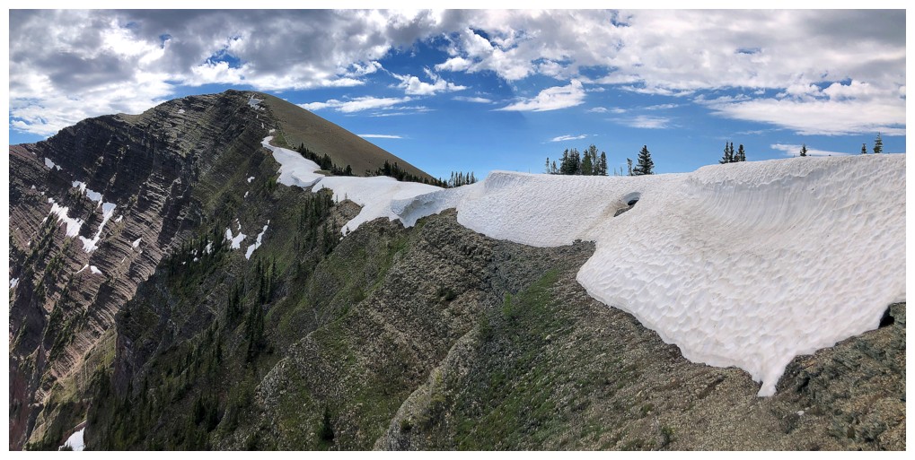
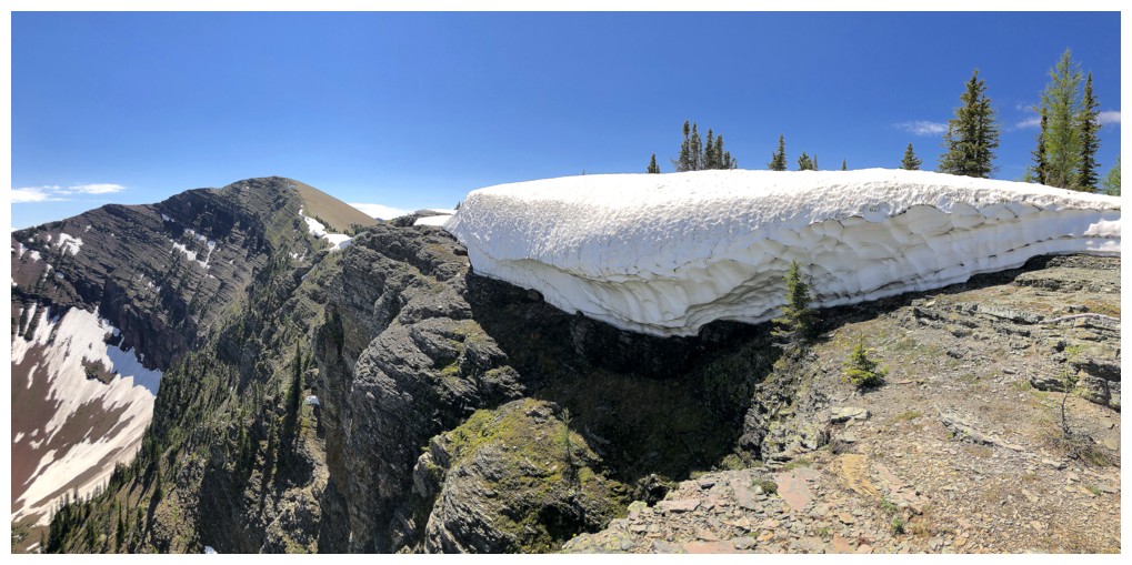
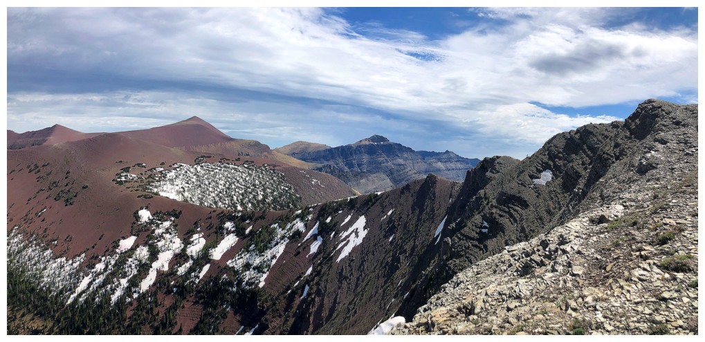
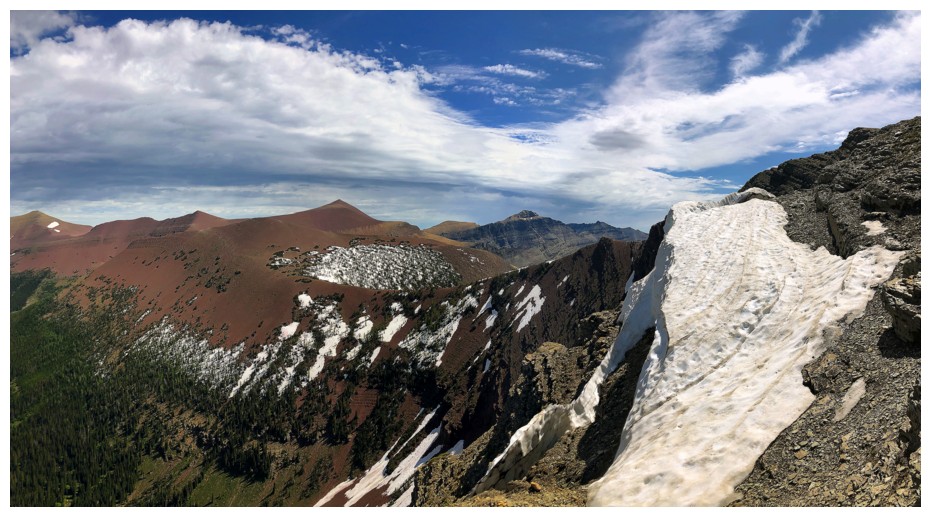
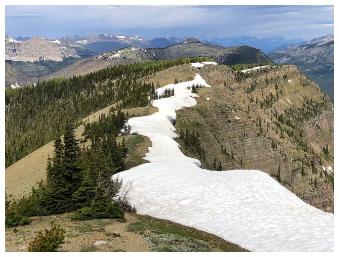
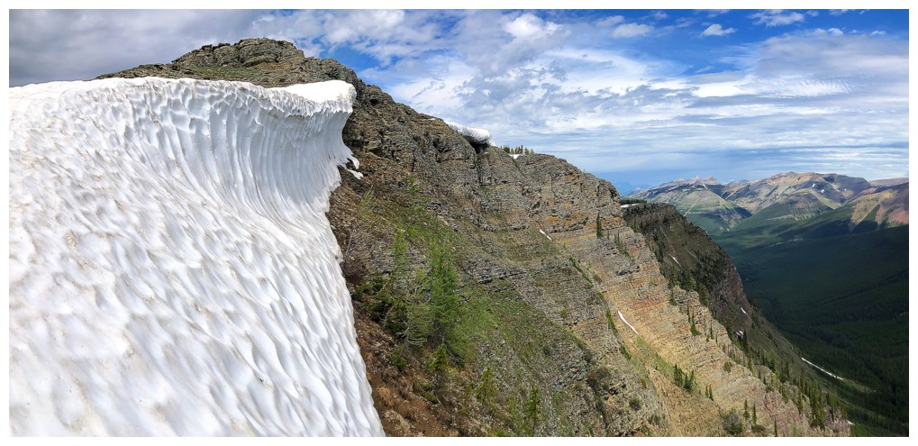
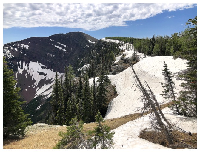
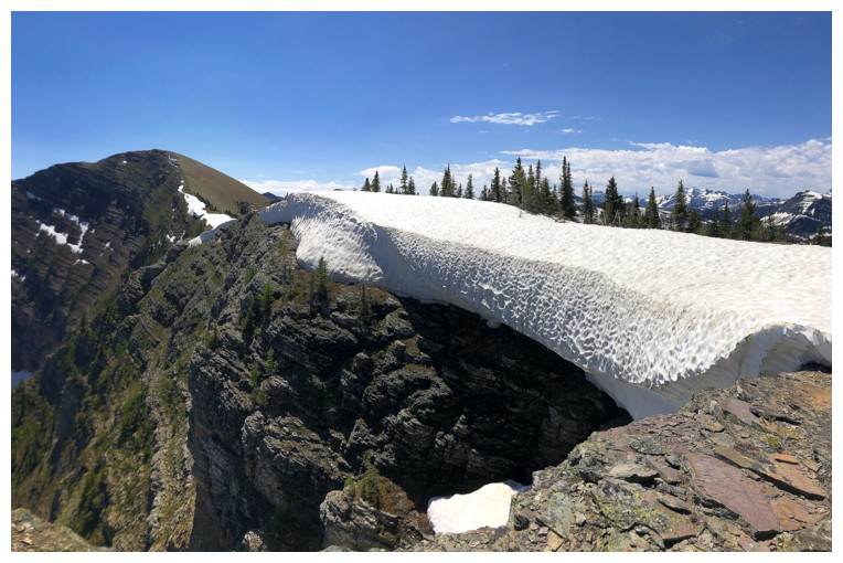
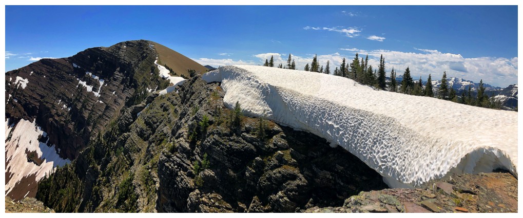
Looks like the snow scenery overhanging the ridge is going to garner some attention...
....as is the view into The Castle
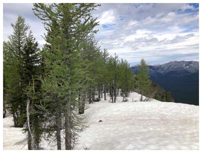
The areas is swimming in larches
Looking back to Avion
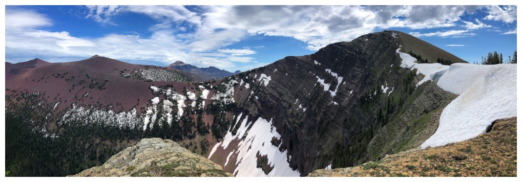
Green argillite alert!
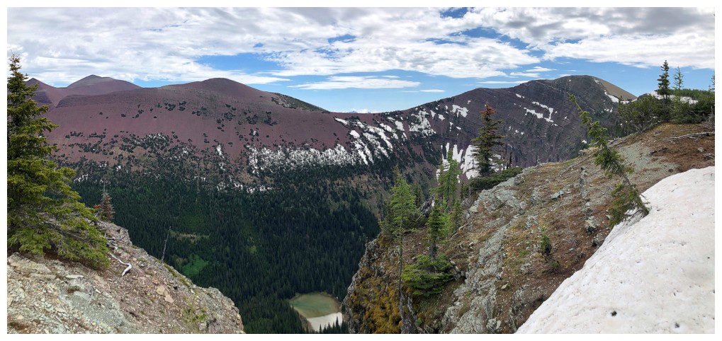
Guaranteed that small tarn below sees few if any human visitors
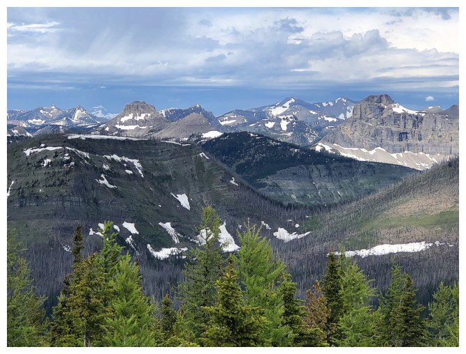
All the stuff in south Castle again
Sage Mountain
Sage Senior yet again - must be true love!
Returning
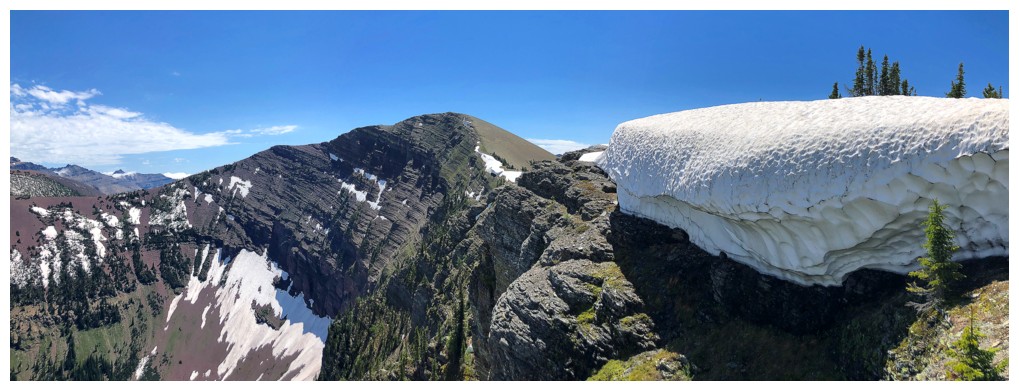
The best part of the day was this big chunk of snow, with clear skies above
Clouds forming over Glendowan
Still clear here though
Trying to find a trail that's hiding below half a metre of snow
Found it - but only because there's no snow here
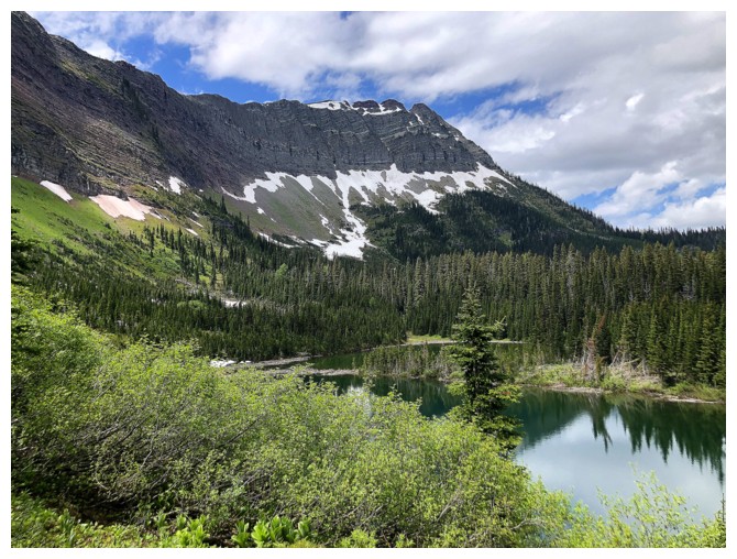
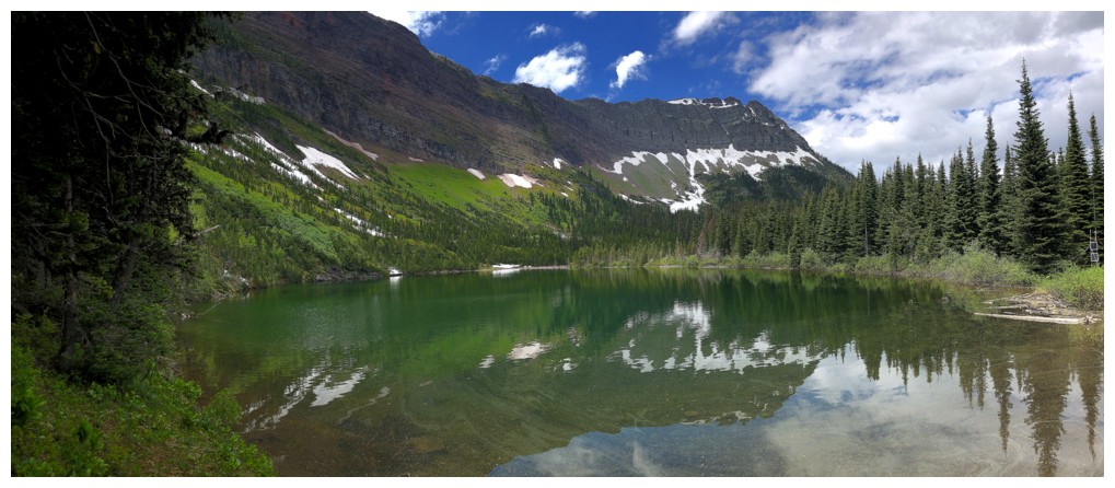 Lost Lake
Tried to ascend slopes above the lake to get a better view but to no avail. The bush was thick and unforgiving.
Looking up to the big ledge I traversed while ascending Sage Senior
Back to where I started the ascent, looking up the route
Cloudy continues to form the east and south
Back at the creek crossing view
The End
LOG