“Sage Senior”
“Sage Pass Peak”
Kishinena
Peak II
August 10, 2020
Mountain heights: 2430 m, 2280 m, 2440 m
Elevation gain:
approximately 1450 m
Roundtrip time:
10:50
Solo scramble.
The main objective of this trip was the unnamed
outlier east of Sage Pass that I will unofficially call “Sage Pass Peak”. With
a price tag of almost 28 km roundtrip, this seemingly insignificant peak may have
been an odd choice. However, my first trip to Kishinena Peak had exceeded my
expectations by a longshot and therefore another visit to this remote area
seemed justified. As well, I brought with me an “Ace in the Hole” – my new ebike. The
17 km of ebiking would probably feel more like 2 km of regular biking!
 And it did! The 8.5 km bike ride to the Snowshoe
campground was thoroughly enjoyable and almost effortless, taking about 30
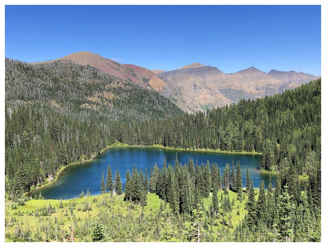
minutes. After a quick detour to check out one of the Twin Lakes, I made my way
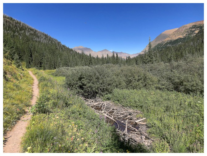
to Sage Pass – perhaps one of the most disappointing viewpoints in the Rockies,
due to heavy tree cover. That shortcoming is easily rectified by gaining a
little elevation towards Kishinena Peak.
And it did! The 8.5 km bike ride to the Snowshoe
campground was thoroughly enjoyable and almost effortless, taking about 30
minutes. After a quick detour to check out one of the Twin Lakes, I made my way
to Sage Pass – perhaps one of the most disappointing viewpoints in the Rockies,
due to heavy tree cover. That shortcoming is easily rectified by gaining a
little elevation towards Kishinena Peak.
Returning to the pass I started following the
trail heading northeast. It was such a good trail that I failed to realize I
was not going exactly in the direction I wanted. Instead of going directly to
the unnamed peak, this trail was circling around it. By the time had corrected
my mistake I was past the unnamed peak and at the col between it and another
and higher unnamed peak to the northwest. No problem – both summits were within
striking distance and I decided to hit the higher one to the northwest first.
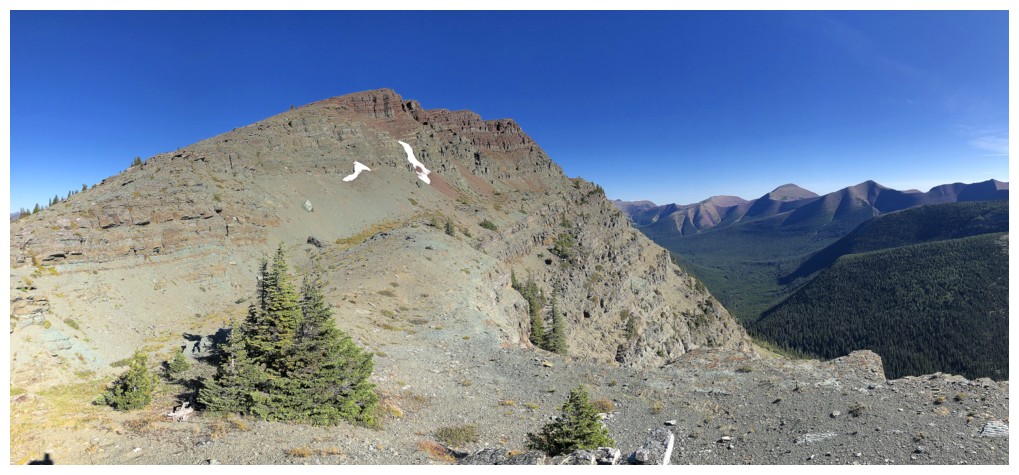
 “Sage Senior” unexpectedly turned out to be the
highlight of the day. And on a day that featured one highlight after another,
that’s saying something!
“Sage Senior” unexpectedly turned out to be the
highlight of the day. And on a day that featured one highlight after another,
that’s saying something!
The ascent was easy and straightforward. That
is until I decided to take a more circuitous route by traversing below the
ridge around the summit block. The objective here was not to save time or avoid
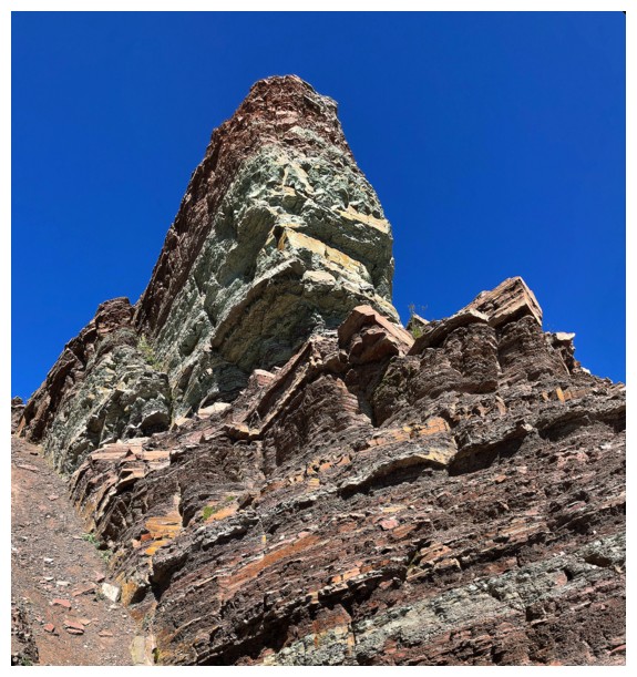
unnecessary elevation losses and gains but to check out what appeared to be a
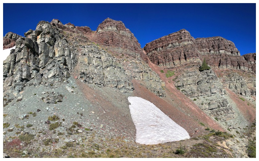
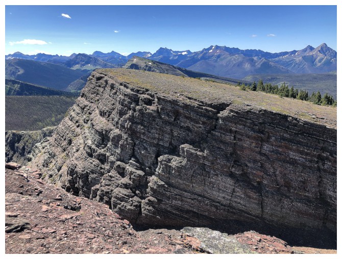
super impressive summit block, comprised of super colourful red and green
argillite. I could then stick to the ridge on return.
It probably goes without saying that this
little diversion was for me the single highlight of the day. The route remained
easy, even though it looked fiercely steep from certain angles. After
traversing much farther than expected I was able to ascend a steep gully up to
the ridge and onto the summit and a wonderful view. I forgot how strategically
placed the general area is. Not only are mountains of Waterton and Glacier
National Park on display but the entire Castle area is stretched out to the
northeast, north, and northwest – fantastic!
Although I now had Font Mountain on the brain
(about 5.5 km farther along the ridge), I didn’t have any route information and
I needed to be back in Calgary later in the day. Instead, I settled for
continuing along the ridge to the next highpoint and then returning to Sage
Senior.
Finally, it was time to hit the intended
objective. But not before circling around some of the summit block of Senior and
ascending one of the other gullies I had seen. “Sage Pass Peak” conceded with
ease and like its big brother sported a terrific view, especially given that
both the Twin Lakes were now visible.
Returning to Sage Pass I couldn’t resist
another run up Kishinena Peak, though I knew this would lead to severe coffee
consummation on the drive back to Calgary! Kishinena didn’t disappoint in the
least and was even more gratifying than the first time.
For descent, I took the direct route down to
the Twin Lakes trail so I could take a look at the other Twin Lake. An hour
later I was back at my ebike and curious at see how long the bike ride back
would take, considering the net elevation loss would be about 250 m, as opposed
to the same gain on the way in. The ride down took about 30 minutes, pretty
much the same amount of time as the ride up – big victory for the ebike!
Definitely one my favourite trips of the summer
of 2020.
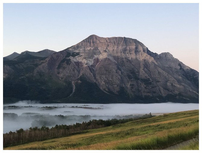
Fog in the valley below Vimy Peak
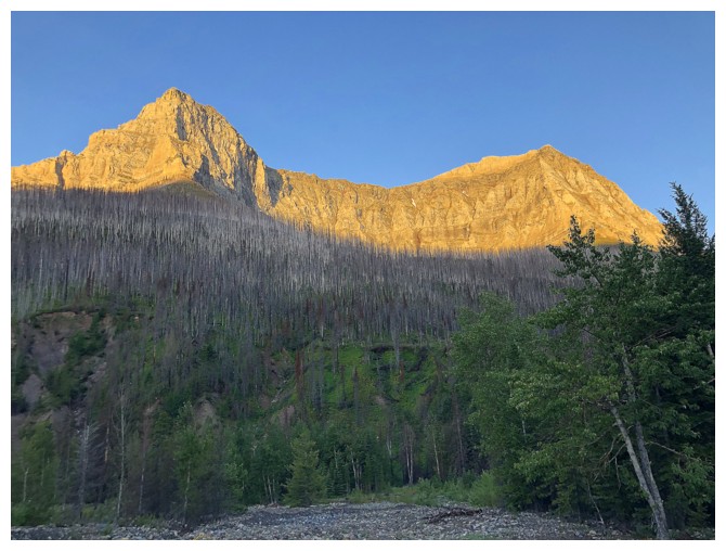
The Sun lights up outliers of Mount Blakiston
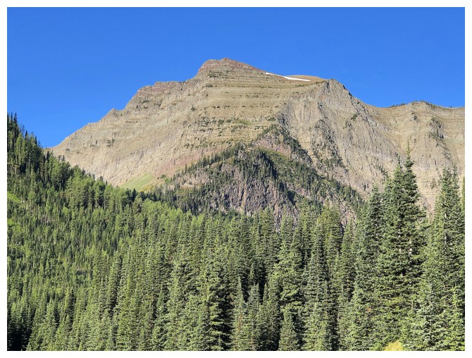
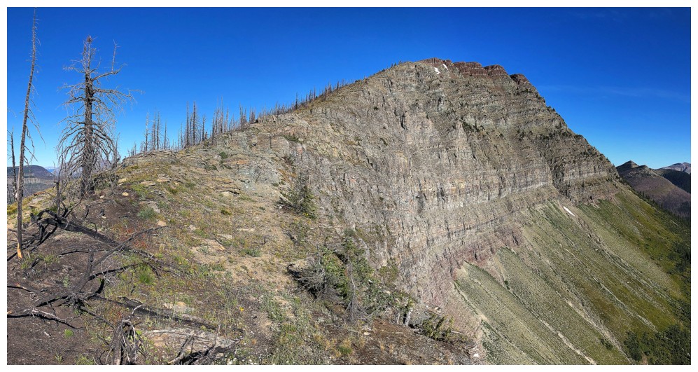
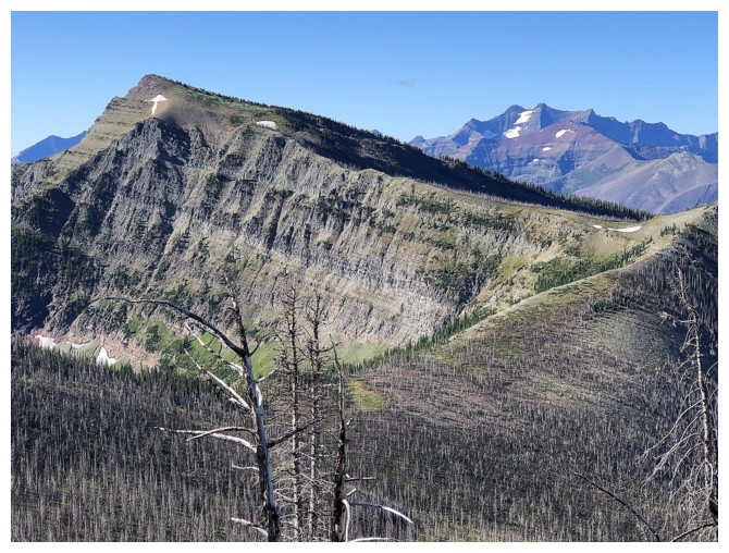
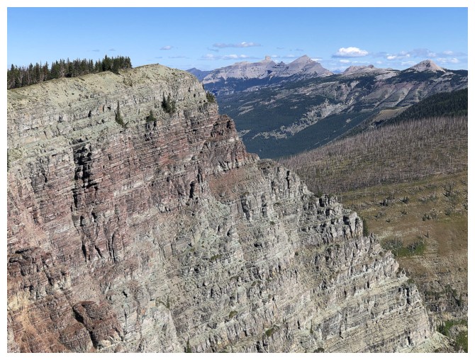
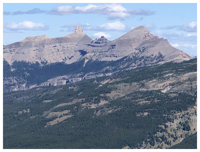
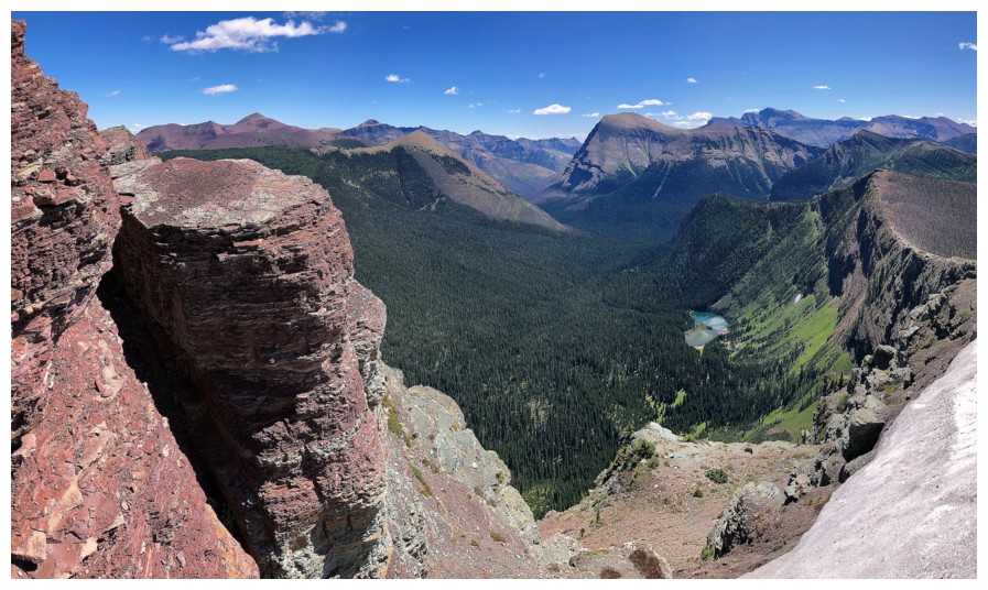
First look at Kishinena Peak
Closer look at the moderate route up the east face
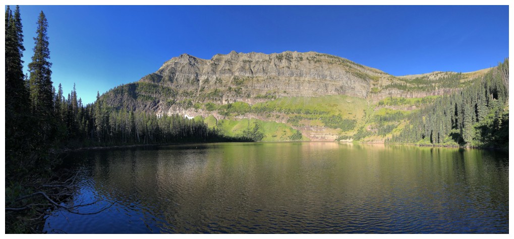
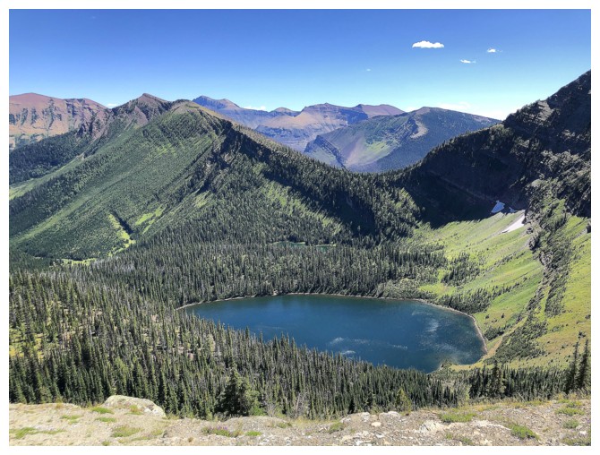
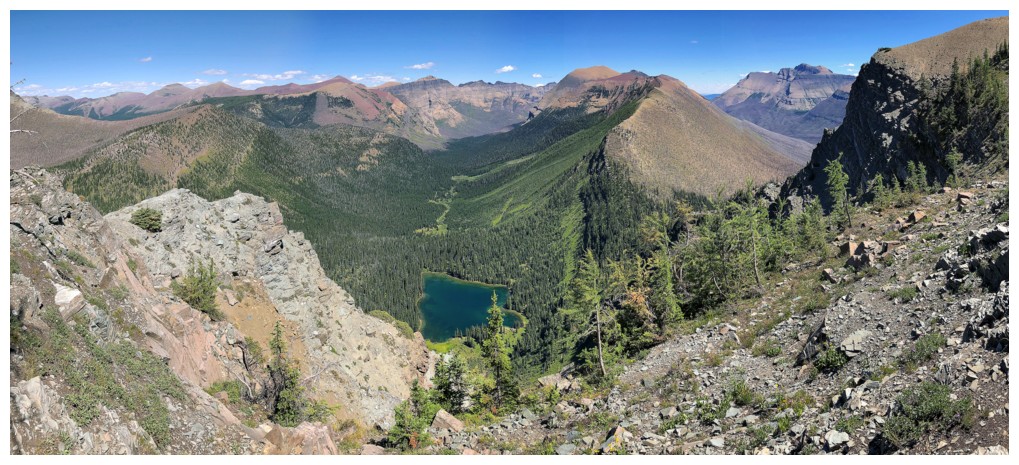
The northern-most Twin Lake
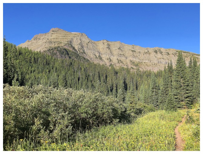
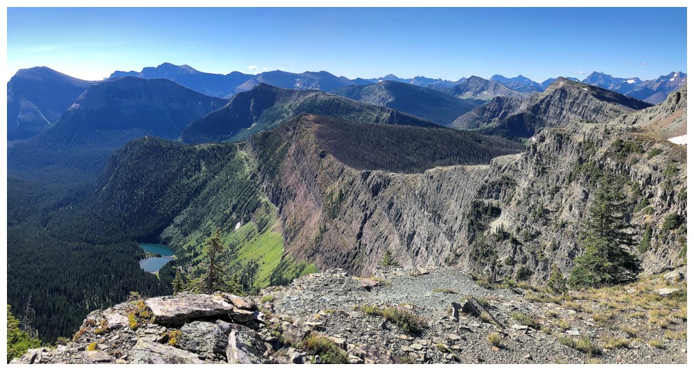
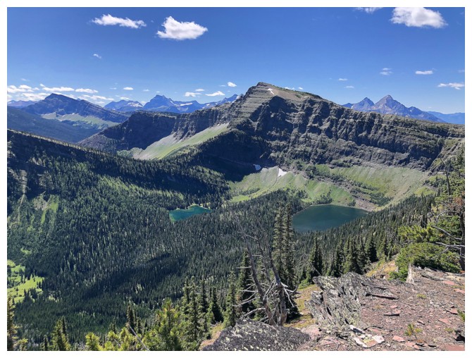
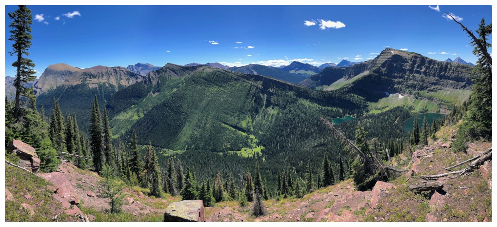
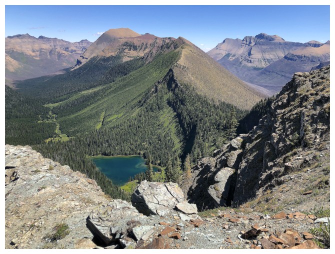
View of Kishinena Peak from near Sage Pass
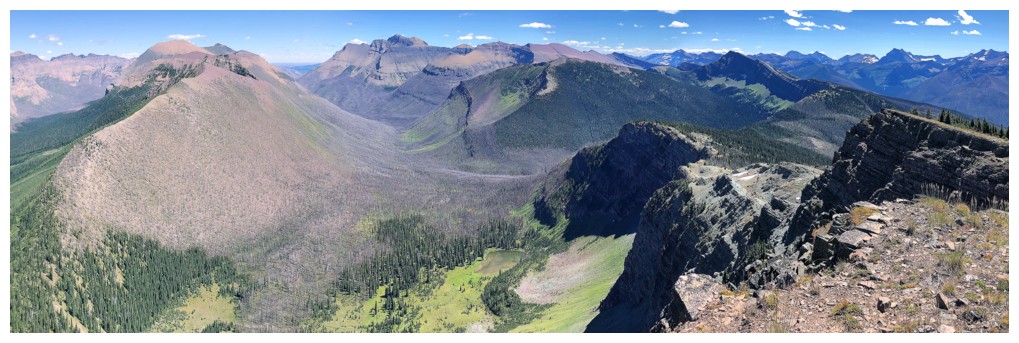
The disappointing view from Sage Pass
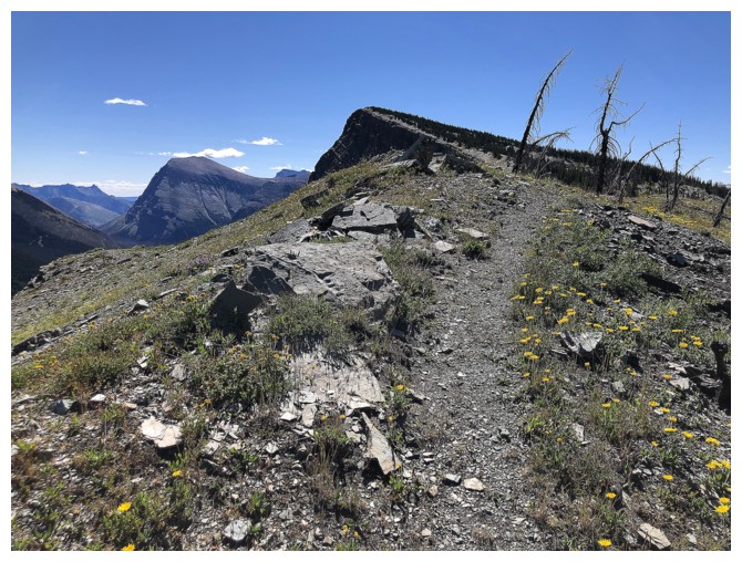
On the GDT (Great Divide Trail) and heading unknowingly to Sage Senior, dead ahead
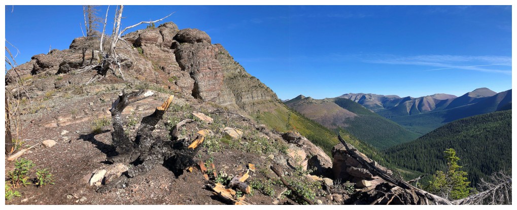
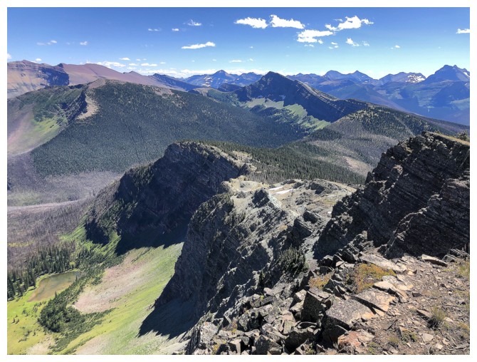
Realizing that I had hiked right past Sage Pass Peak
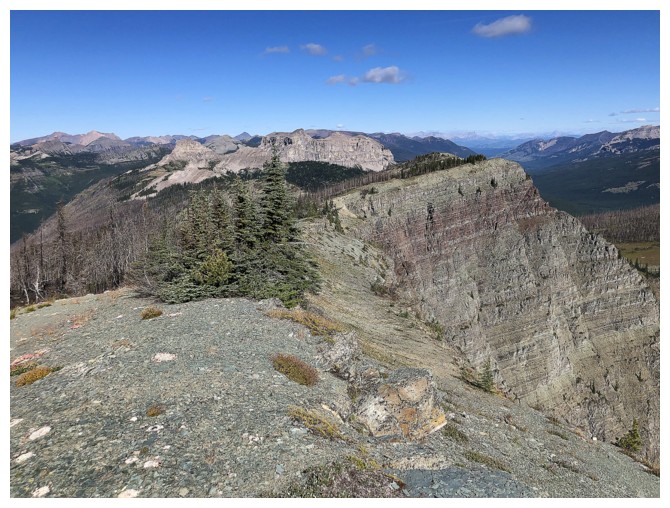
Looking back along the ridge to Sage Pass Peak
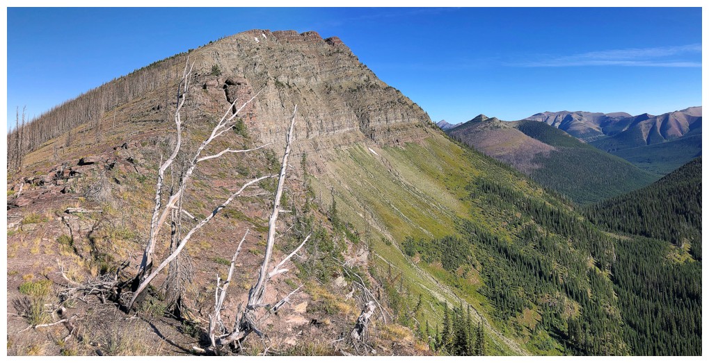
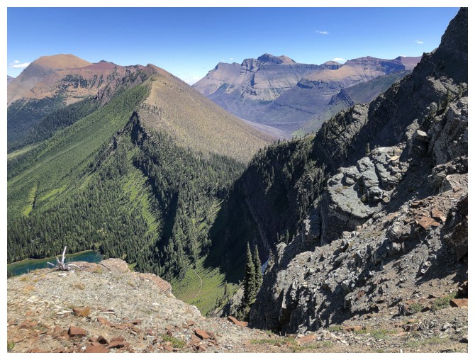
Looking forward along the ridge to Sage Senior
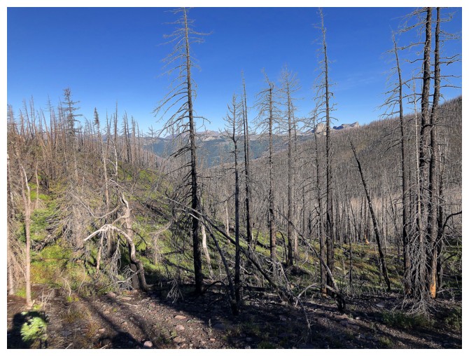
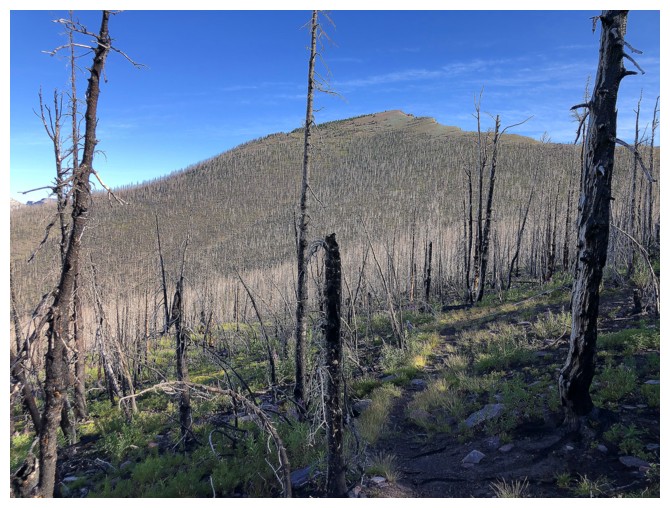
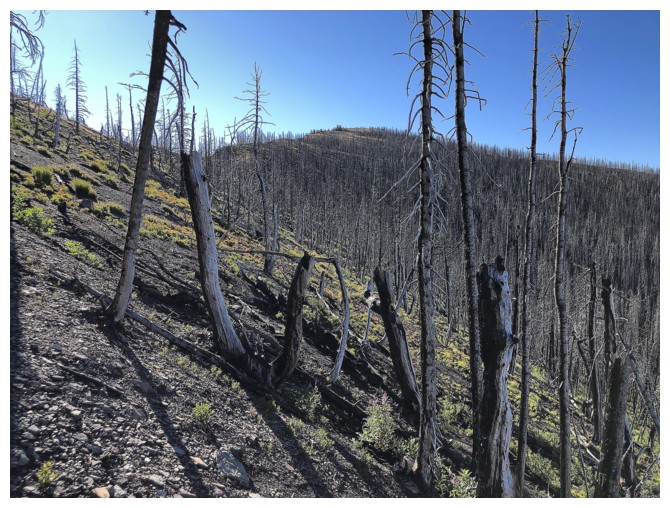
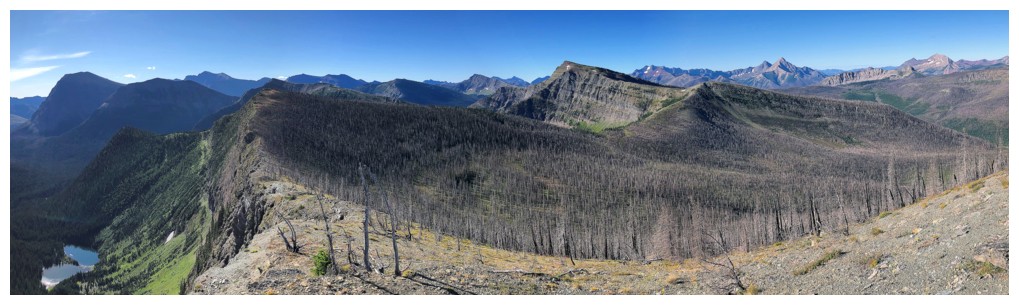
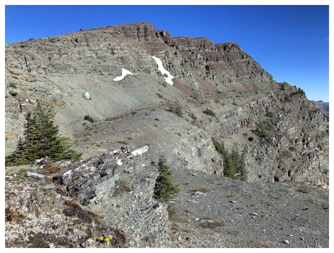
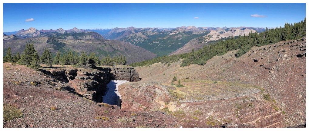
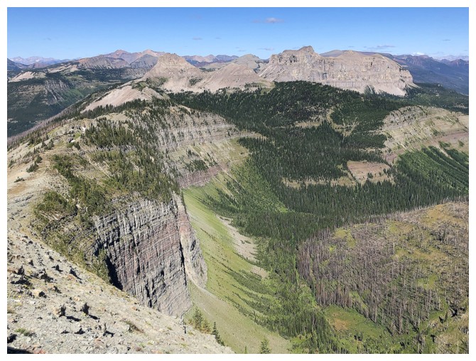
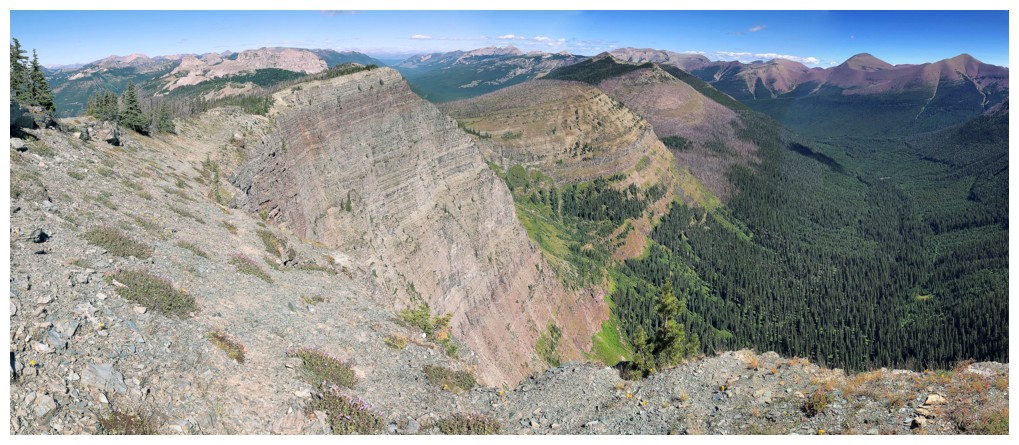
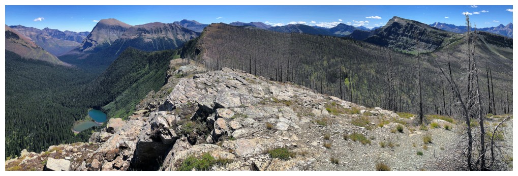
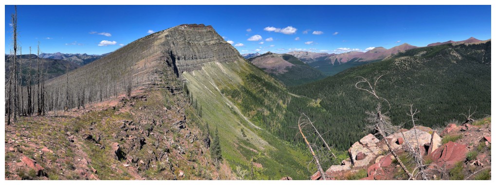
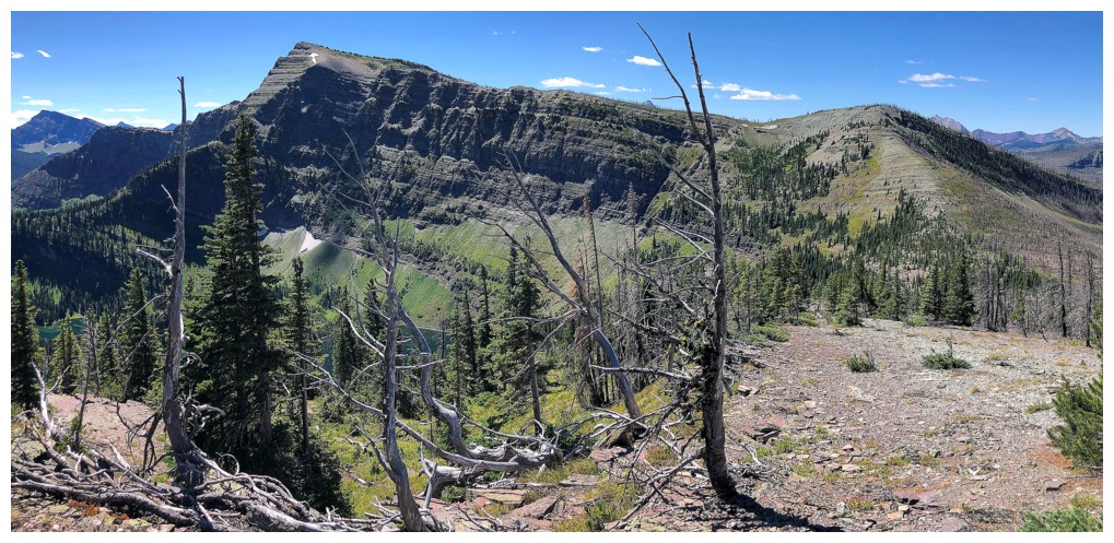
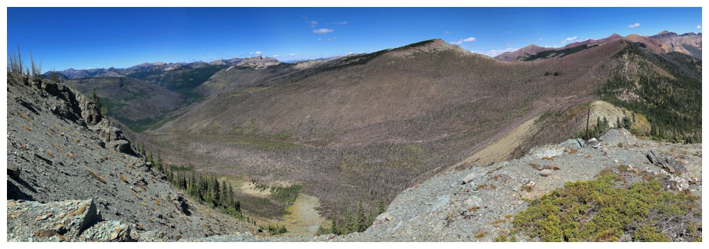
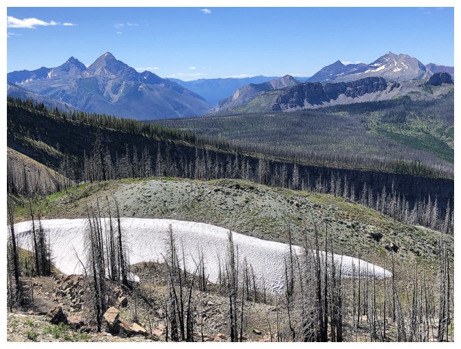
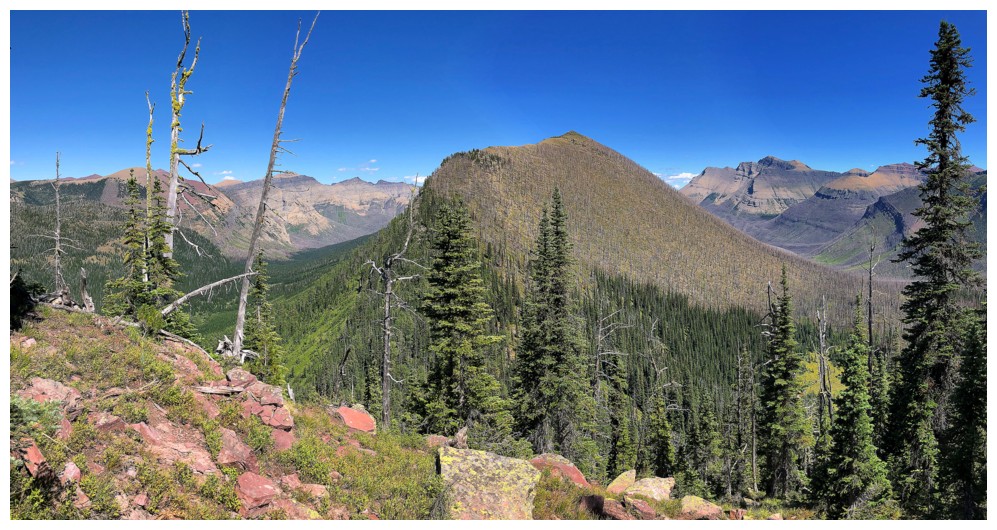
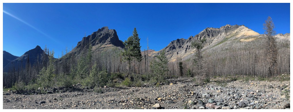
Clearly the Kenow fire made its way over to the Sage Pass area. However, everything to the east was untouched.
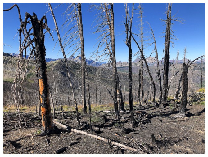
Results of the fire
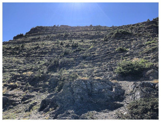
Heading up the easy ridge of Senior
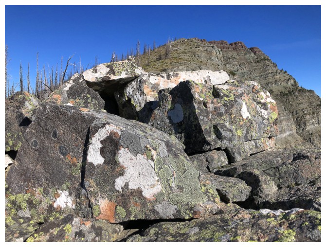
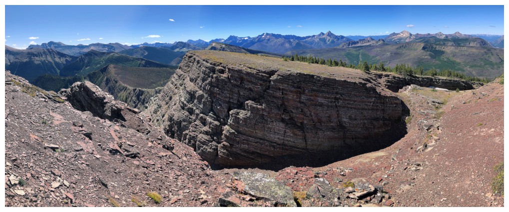
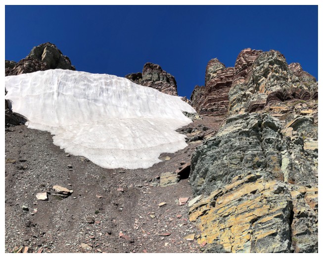
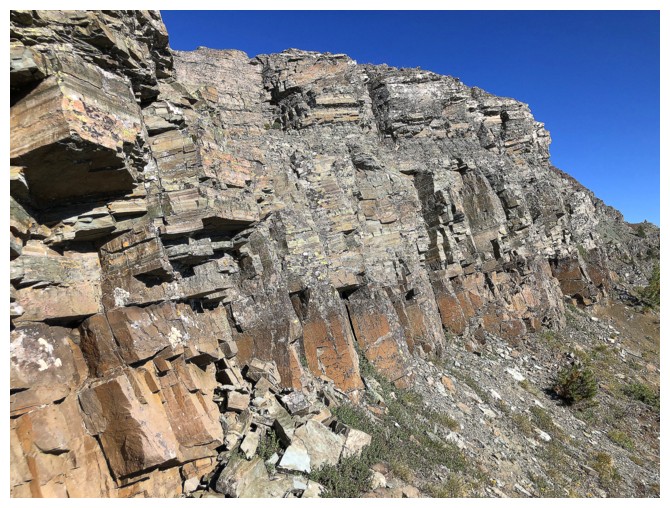
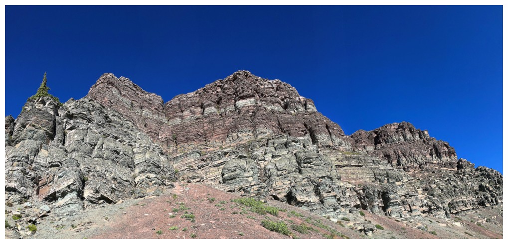
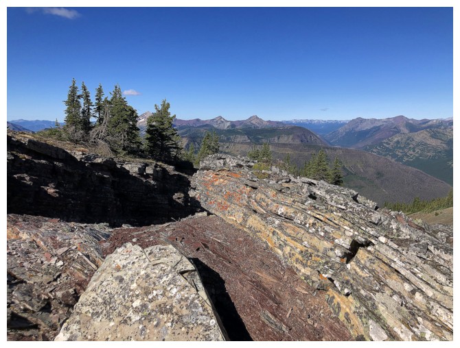
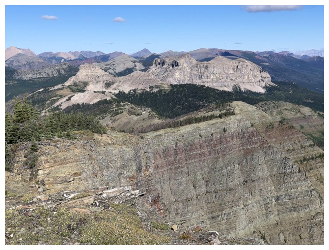
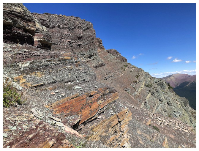
....a ridge that has no shortage of great rock!
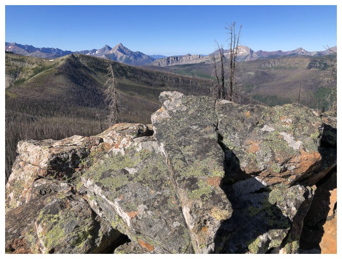
The view to the south just got better and better with more elevation and also as the Sun moved farther west
Getting close the upper rock band that I traversed under
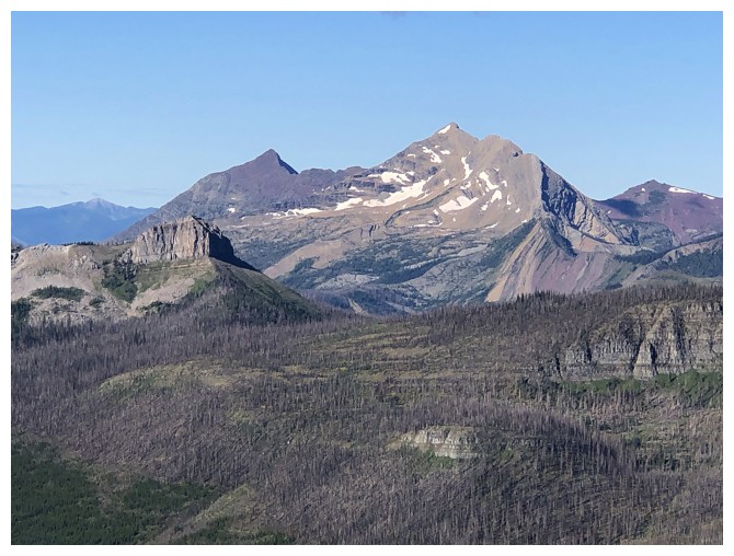
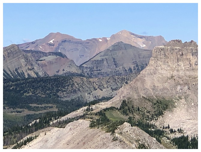
Kishinena Peak (left) and Long Knife Peak (distant right)
The obligatory photo of Miskwasini (left) and Kenow (right)
Same for Starvation (left) and King Edward (right)
And Long Knife again. That one is in Montana.
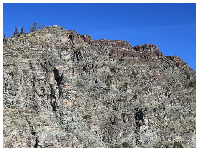
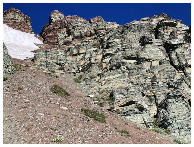
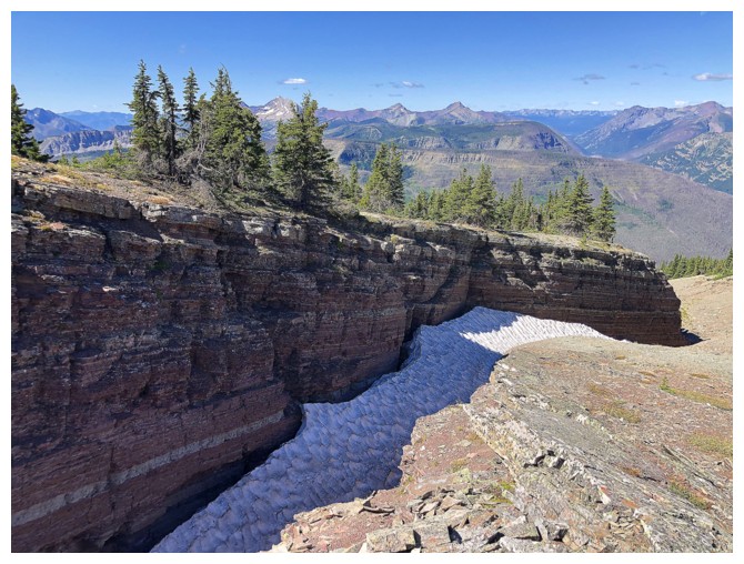
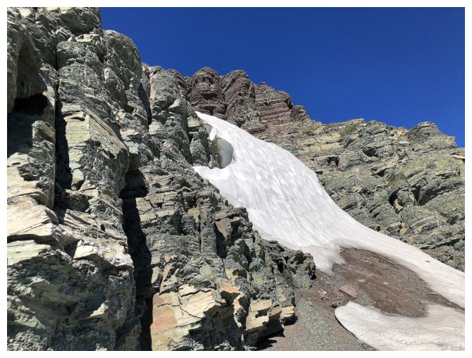
Not the rock band I traverse under, but still a cool one!
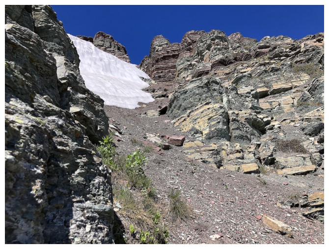
The start of the traverse
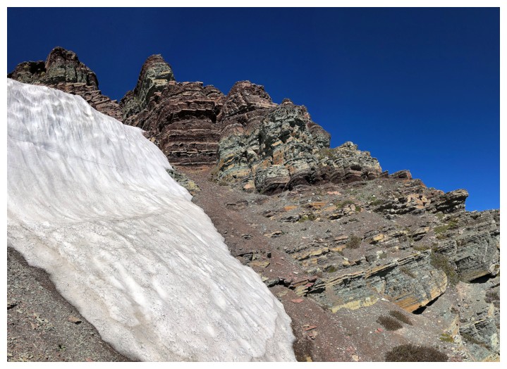
Looking back
Fantastic rock for the entire traverse!
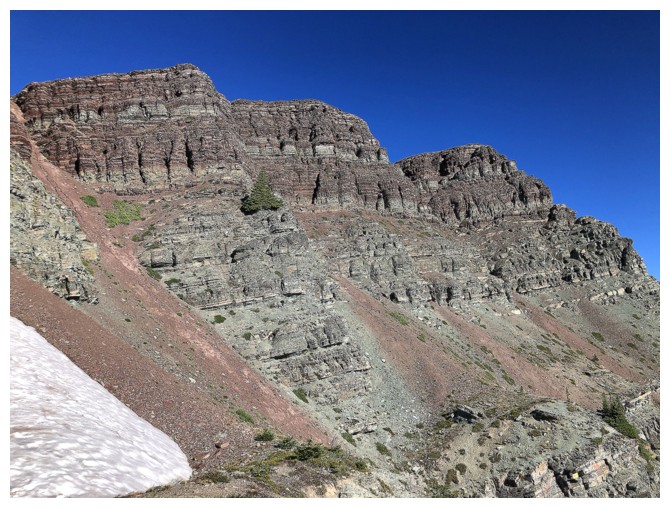
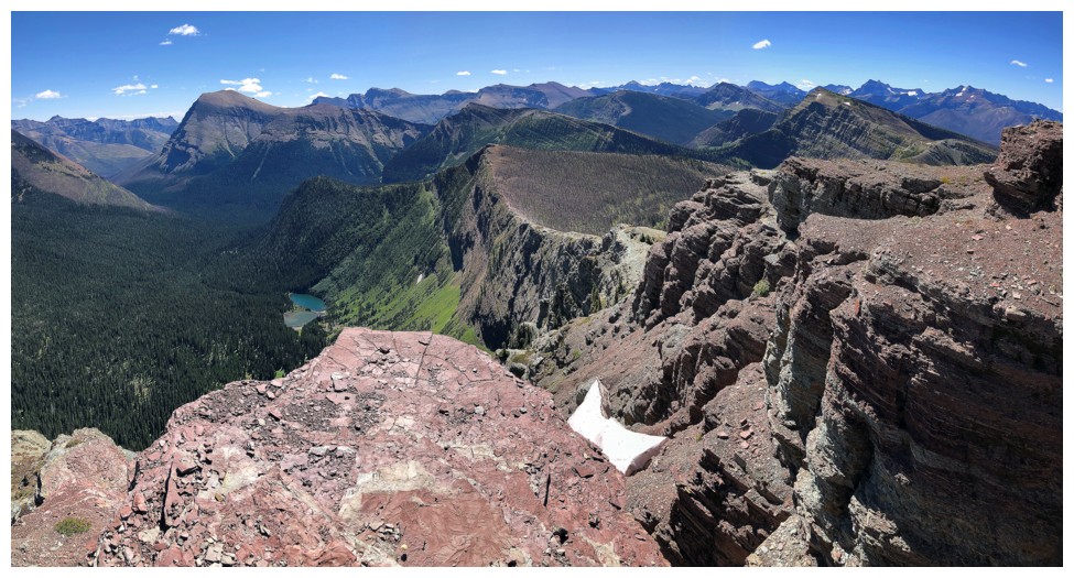
The traverse follows the obvious bench in the lower part of the photo
Numerous gullies of steep scree provided access back to the ridge, but I wanted to go as far as possible below the ridge
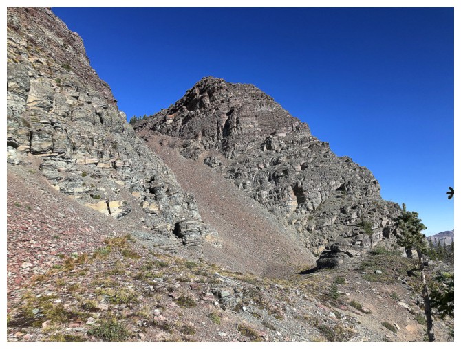
Almost at the end of line for the traverse. I ascended the obvious scree gully to get to the summit.
As alluded to, the view south was hard to ignore
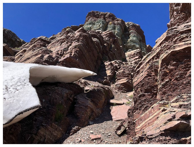
At the top of the gully
View to the west
Loaf Mountain lies just across the valley
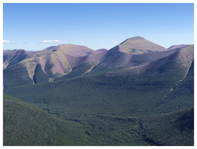
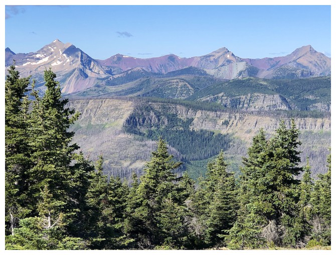
The view to the northwest includes Font Mountain and Mount Matkin
Langemarck at the right (maybe?)
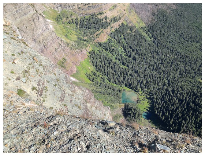
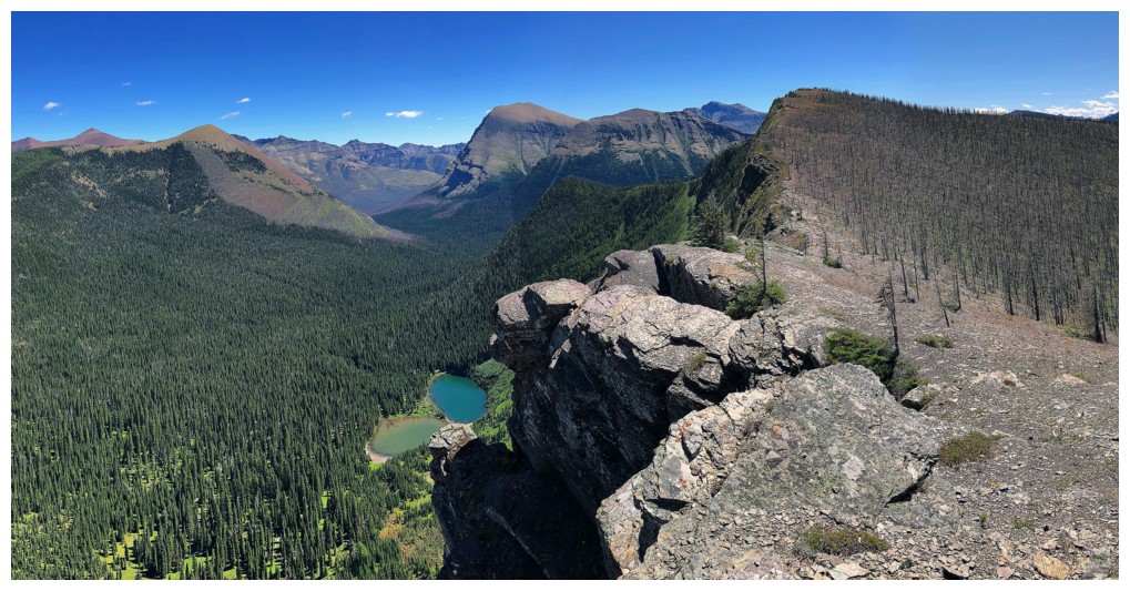
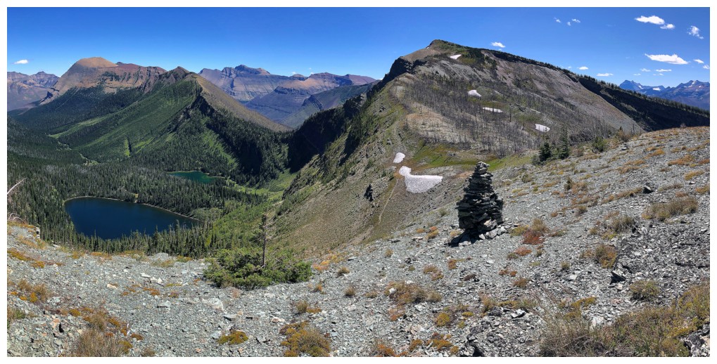
A couple of small tarns below the northeast face of Sage Senior
Heading farther along the ridge
The wickedly steep east face of the ridge
Looking back at it
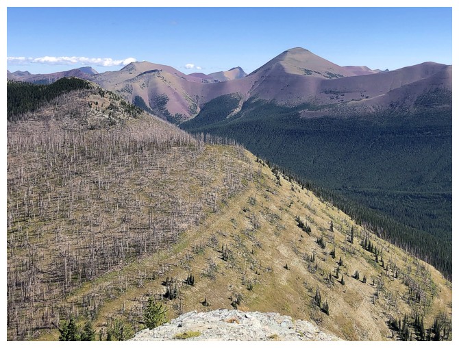
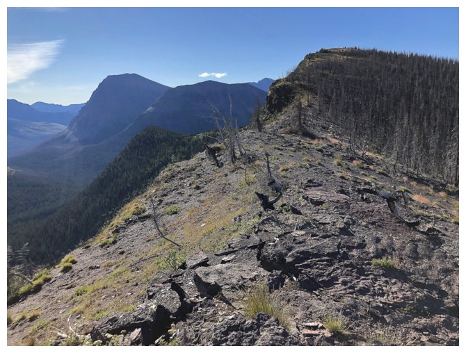
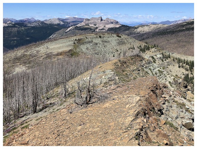
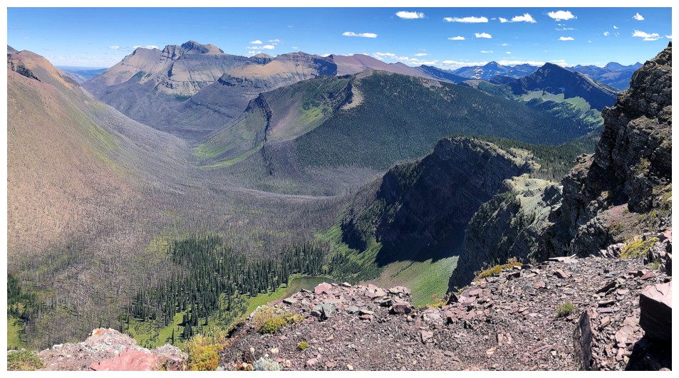
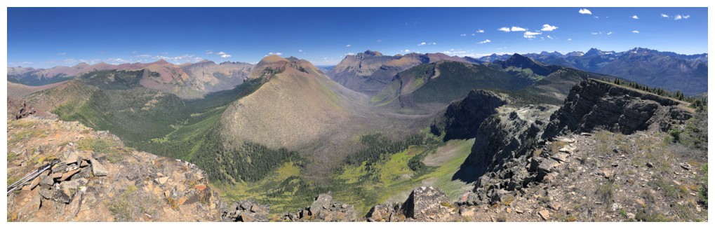
Interesting contrast of the burned terrain on the left and the lush valley below, untouched by the Kenow fire
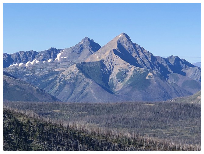
Both summits of Drywood Mountain make an appearance
Castle Peak (left) and Windsor Mountain
Distant Mount Scarpe (left) and Jake Smith Peak (centre) also make a cameo
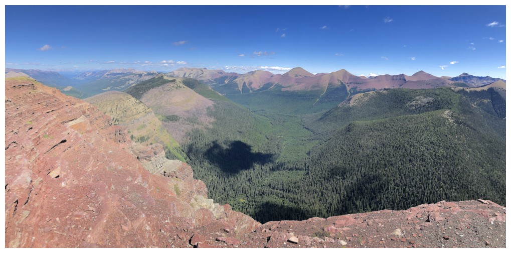
Last look at the fascinating landscape to the north before heading back
The GDT pops up now and then, but generally traverses below the ridge
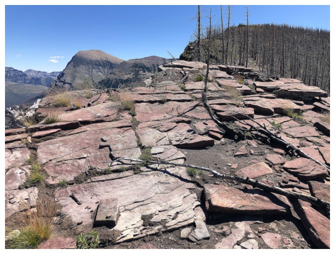
Back to the glowing warmth of red argillite!
Back at the double summit of Sage Senior. The slightly lower summit in
front has a better view because there are no trees blocking it.
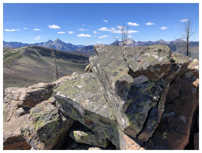
Interesting rock formation near the summit
View to the south from just below the lower summit
Round 2 of checking out the cool rock below the ridge
Back on track and heading to Sage Pass Peak
Couldn't resist Round 2 of this section of rock also
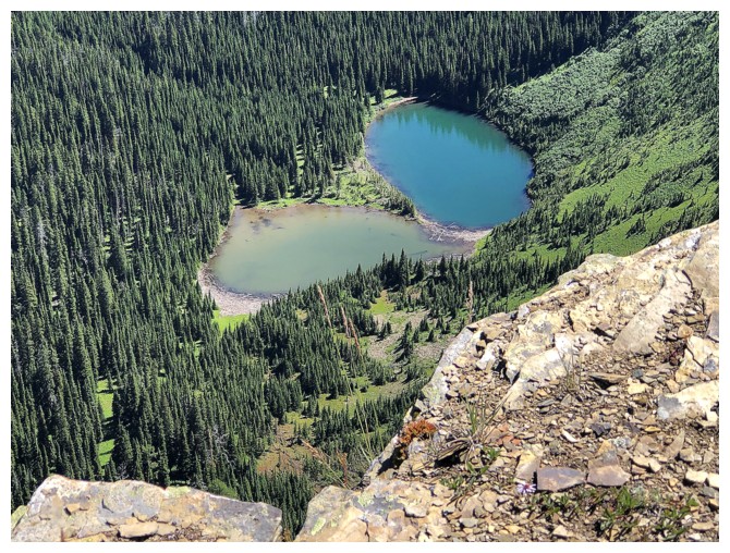
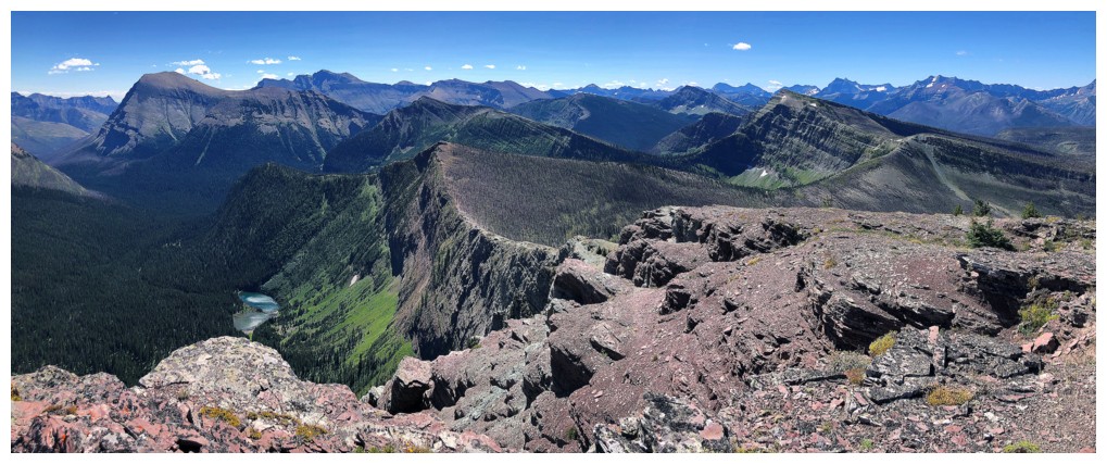
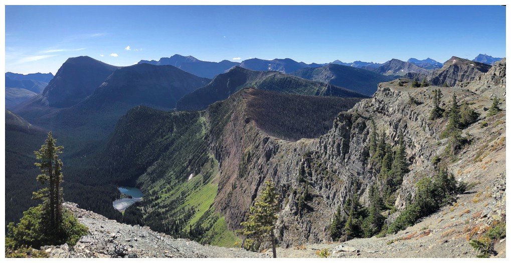
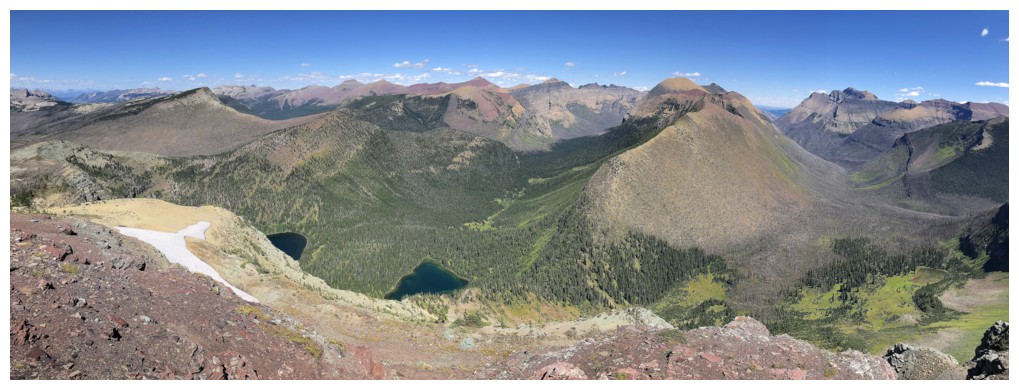
A couple of lakes, identified as Lost Lake on some maps, provide some visual stimulation throughout the traverse
Argillite ALWAYS provides visual stimulation!!!
Looking back at Sage Senior
Lost Lakes again. Apparently there is a trail to the lakes.
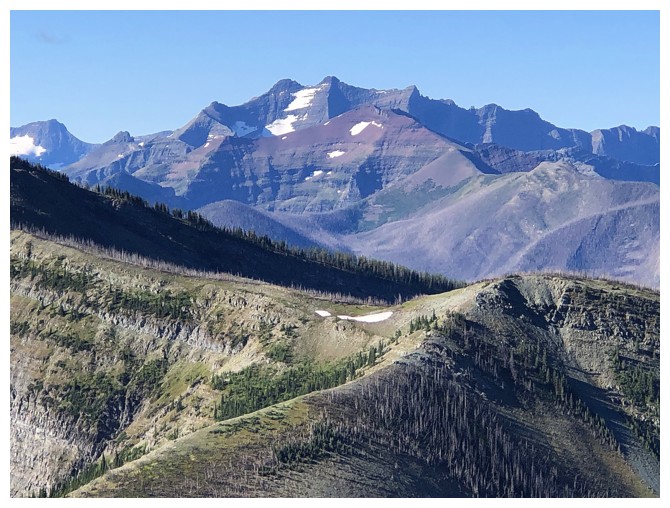
View to the north from the summit of Sage Pass Peak
View to the south
Descending the peak
Almost back to Sage Pass. Kishinena Peak is next.
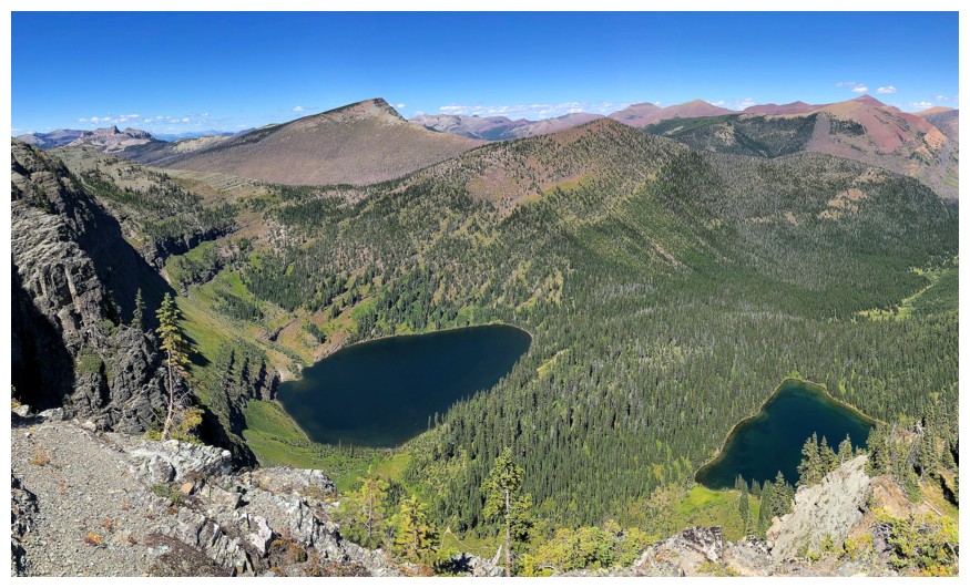
The upper Twin Lake
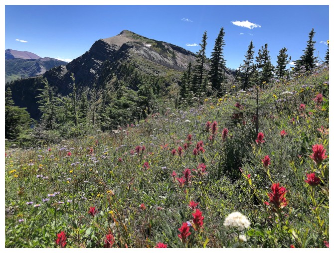
Lots of colourful flowers still littering the slopes of Kishinena
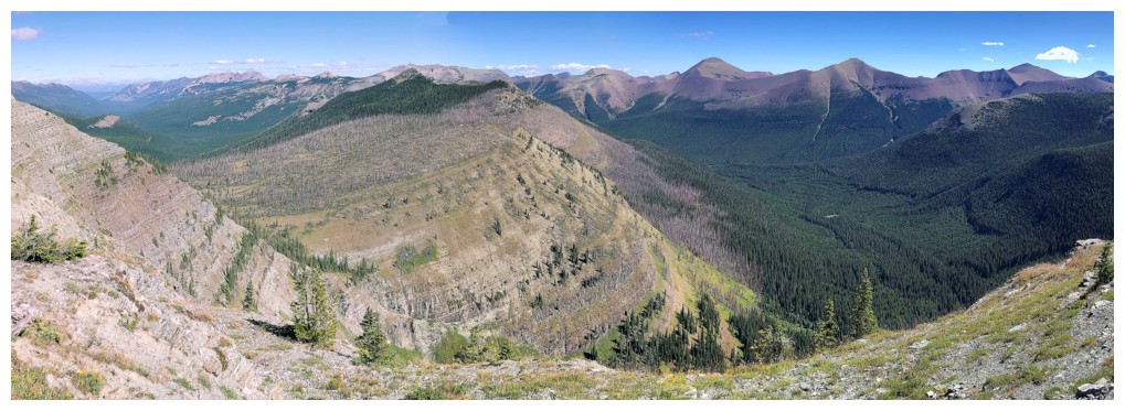
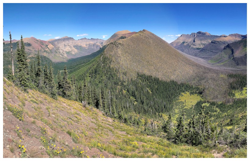
It's panorama photo mania from here on in! The views were outstanding.
Sage Senior just right of centre
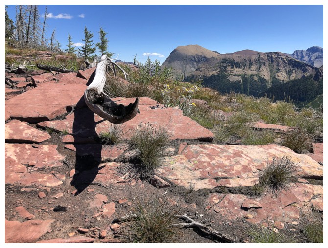
Huge cairn on the side of the mountain????
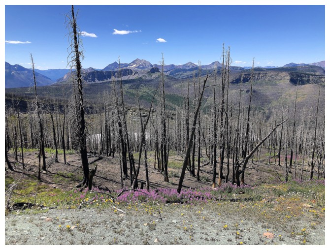
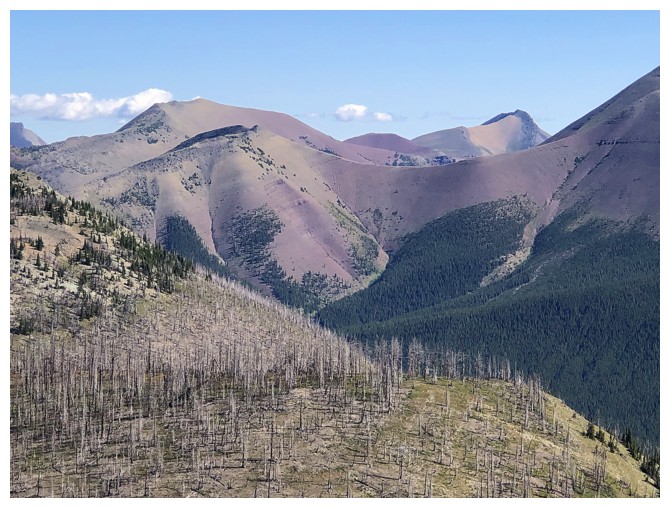
Colourful things emerging from the destruction of the fire
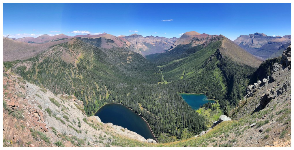
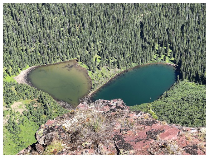
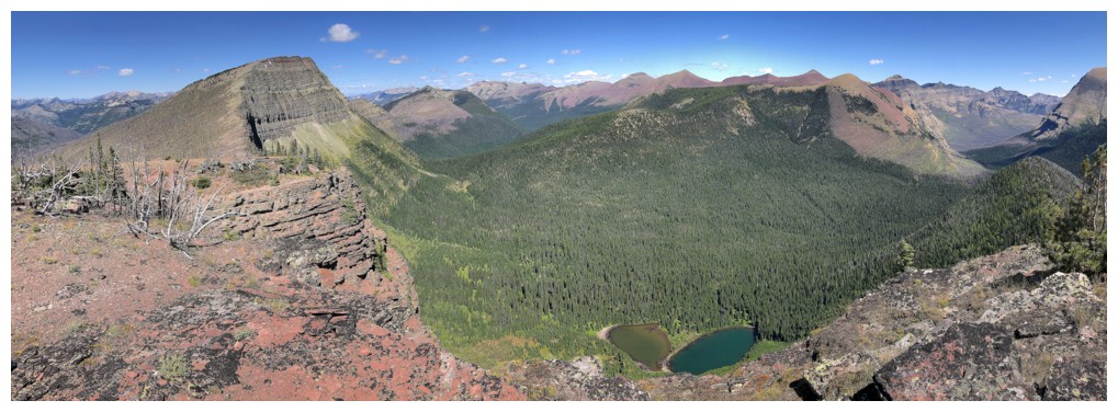
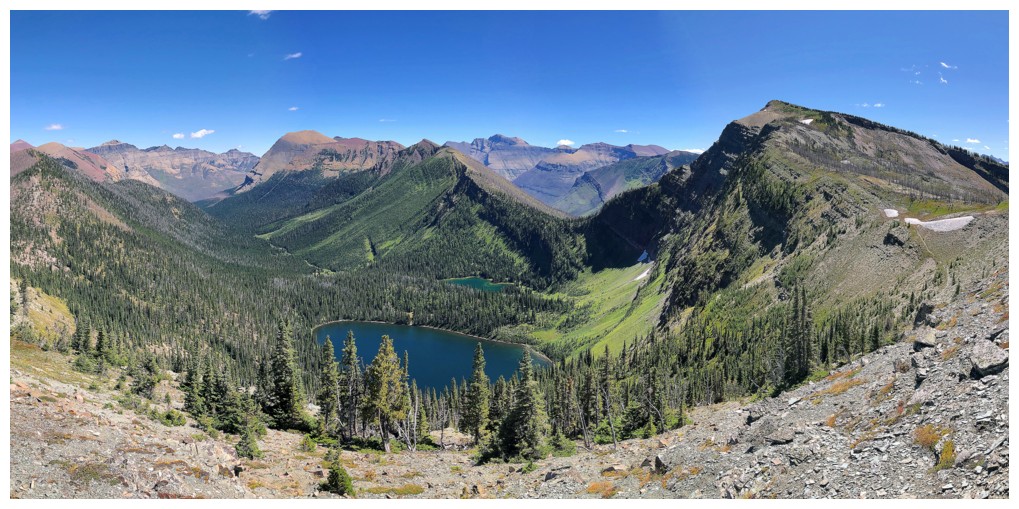
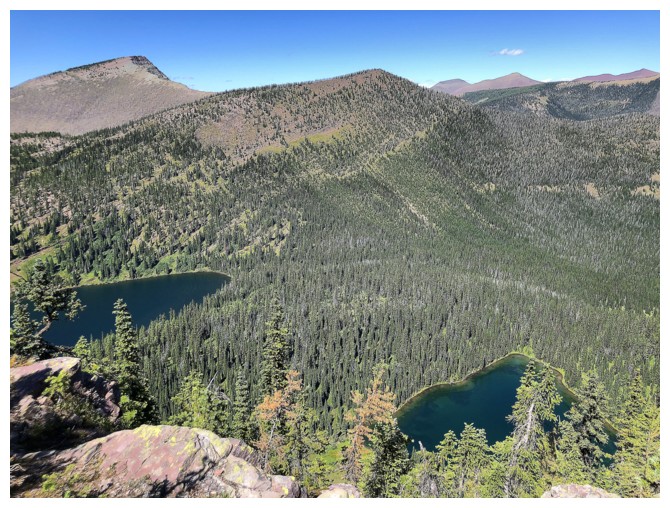
The Twin Lakes added to the view immeasurably
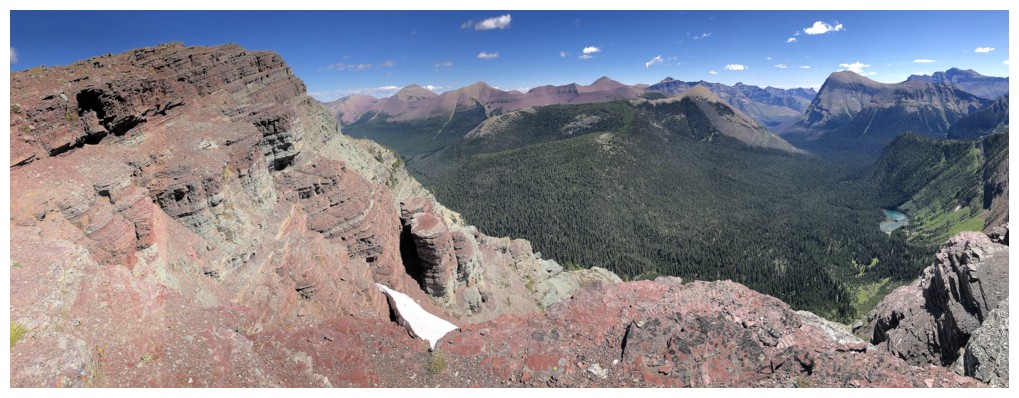
One of the many highlights from the ridge of Kishinena is the view towards the Anderson/Lost/Bauerman traverse, in the centre
King Edward, Starvation, Miskwasini, and Kenow are not hard to look at either!
Font Mountain now looks very far away - glad I didn't make the attempt!
Summit view to the southeast. Mount Blakiston and much of the Blakiston Horseshoe route is visible.
Summit view to the east and northeast
The valley to the southeast was beautiful to look at
Looking south down the Kishinena ridge
Last looks before descent
Views from the"moderate" descent route
Looking back up to the summit
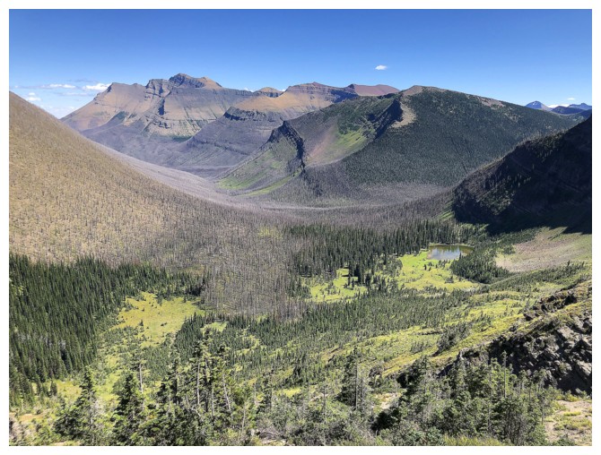
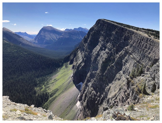
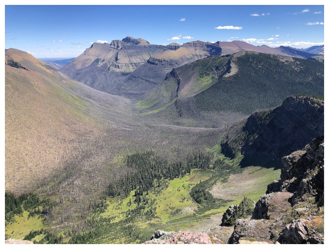
Still mesmerized by this stunning valley
Mount Bauerman is now very prominent
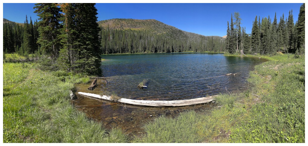
Approaching the lower Twin Lake
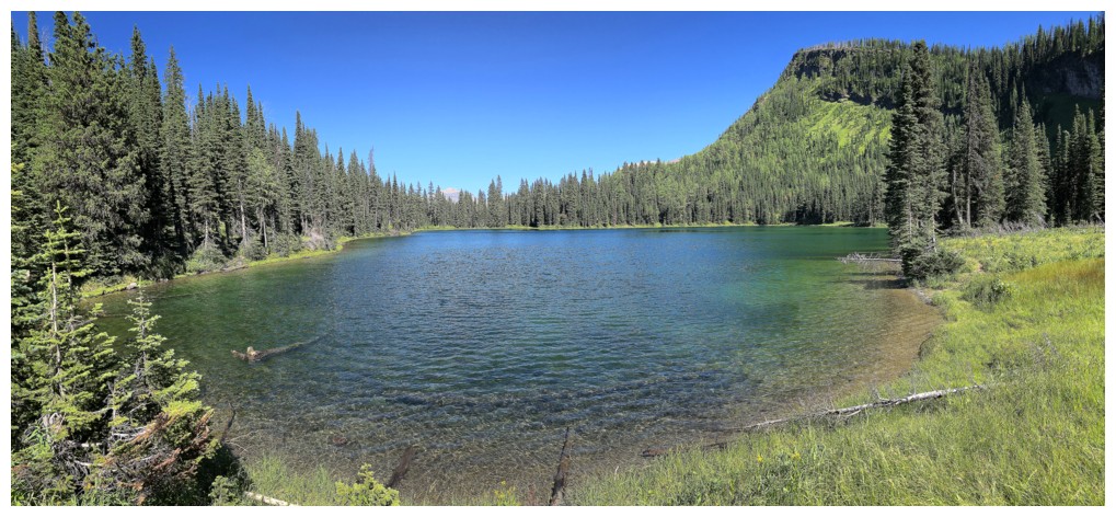
At the shores of the lower lake
Pleasant hiking back to my bike
The mandatory stop on the ride back to check out Mount Glendowan (right)
The End
LOG