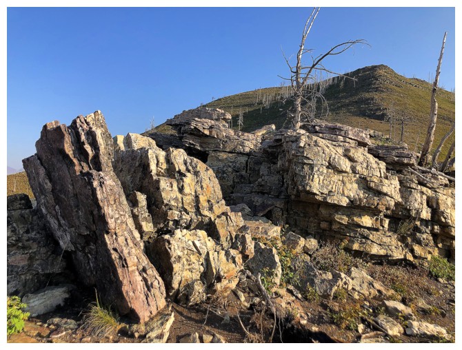
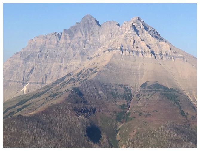
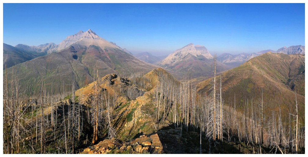
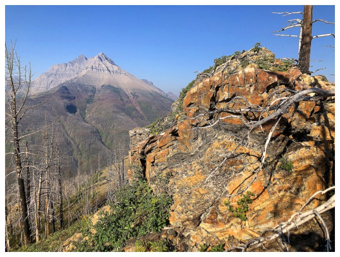
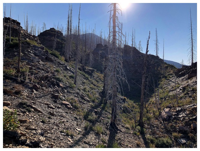
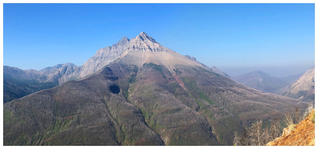
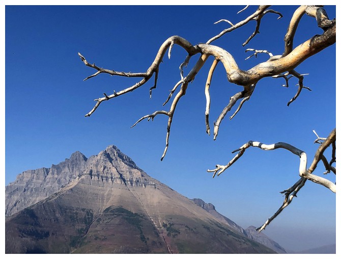
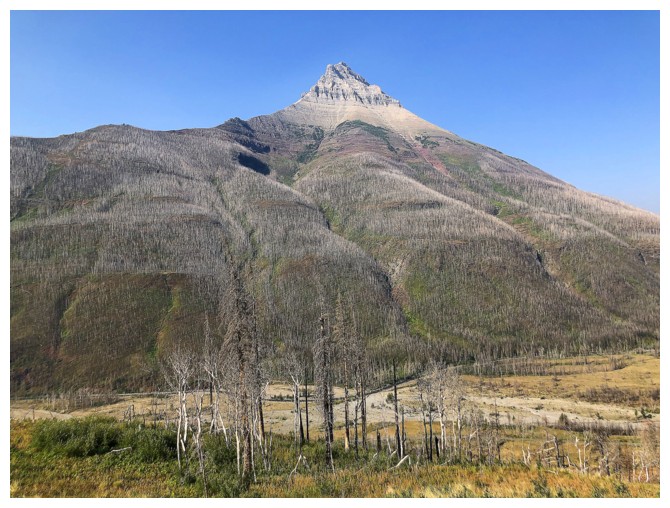
Galwey North
 reconnaissance


August 13, 2021
 
Elevation gain:    approximately 800 m
Round-trip time:  4:30
 
Solo scramble.

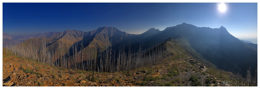
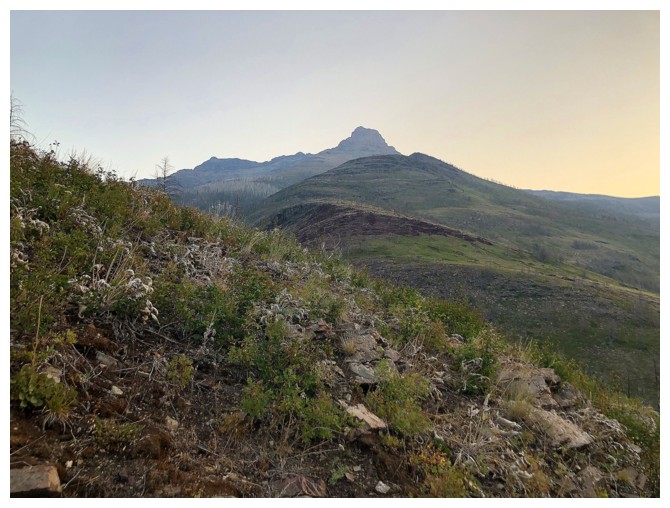
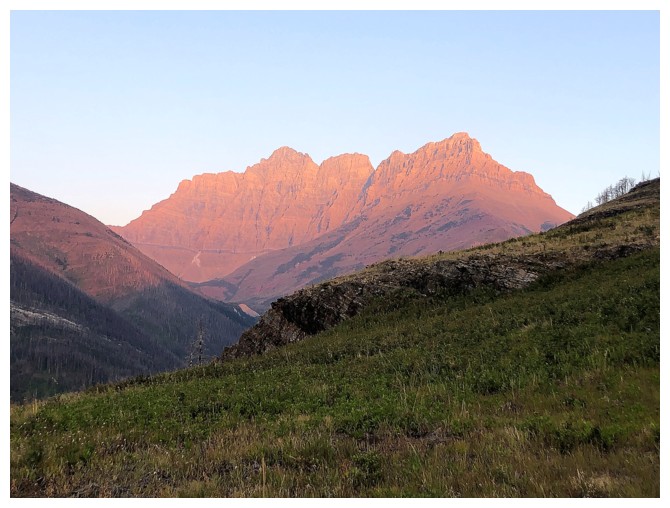
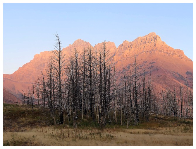
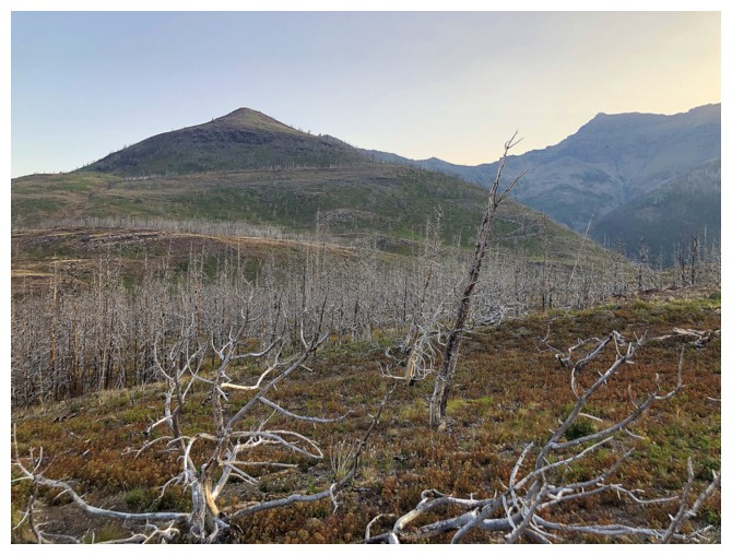
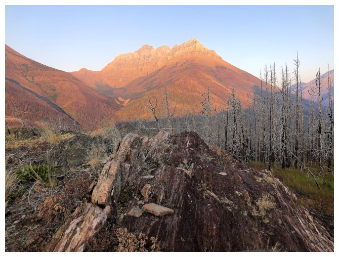
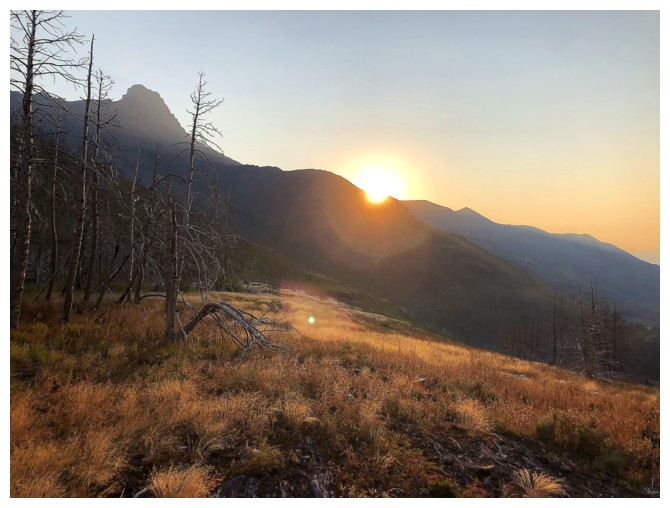
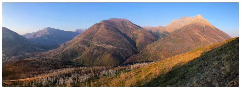
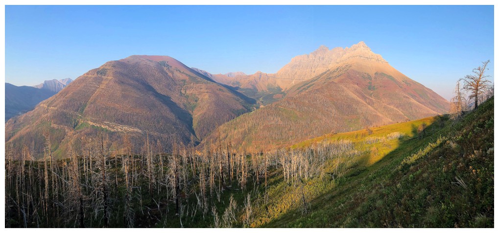
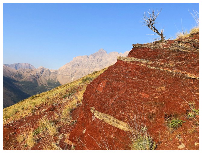
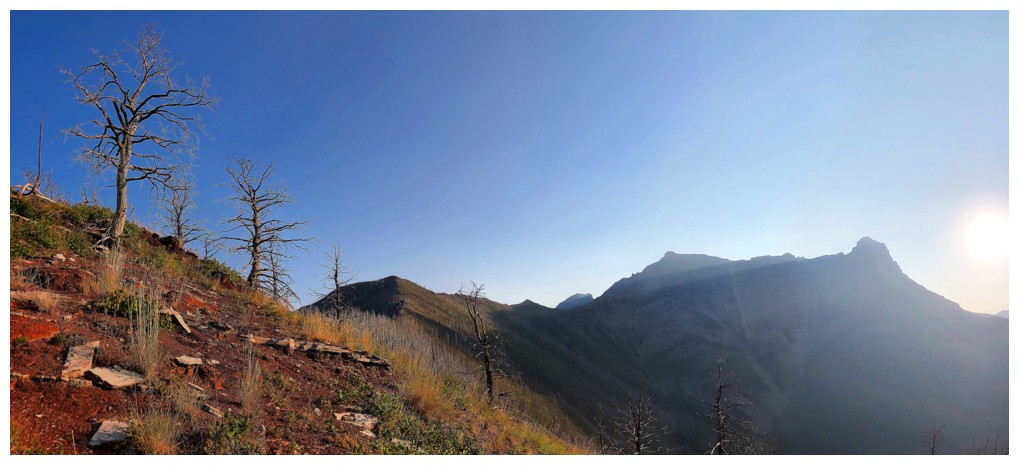
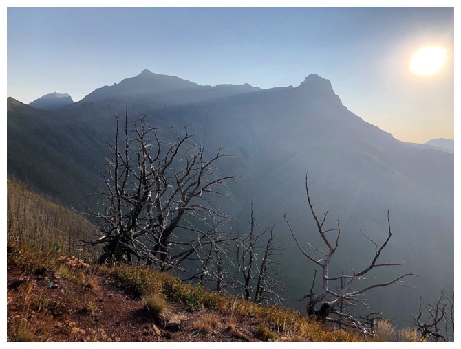
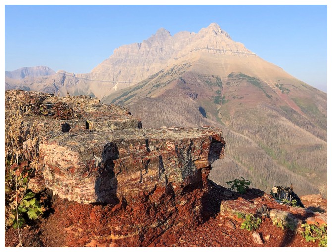
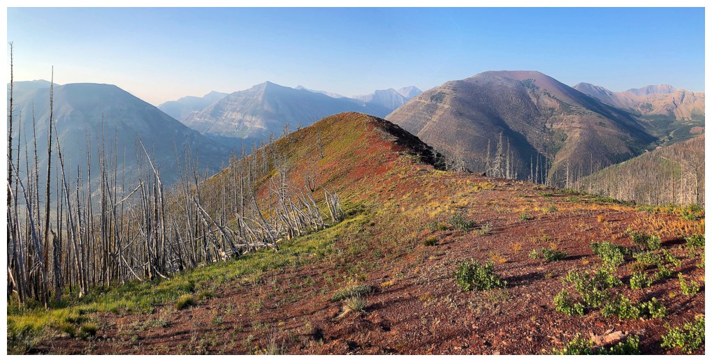
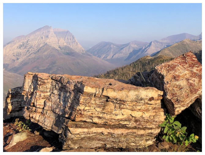
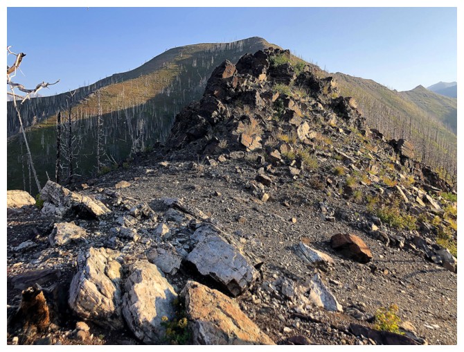
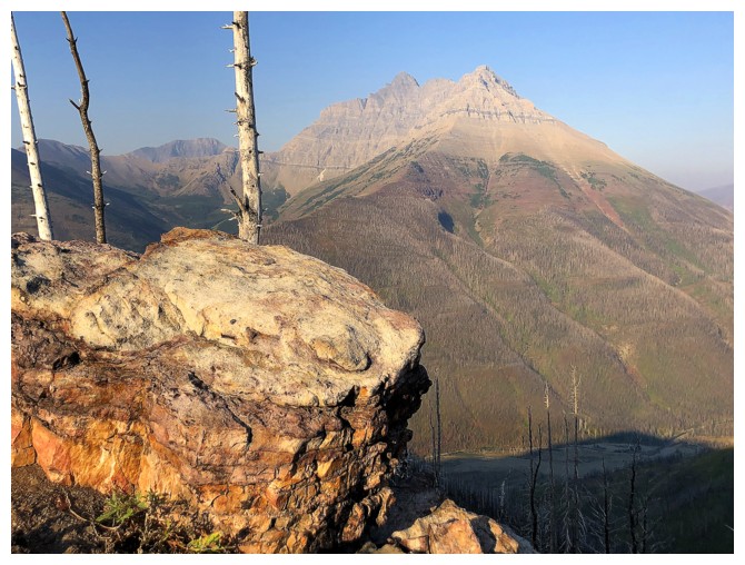
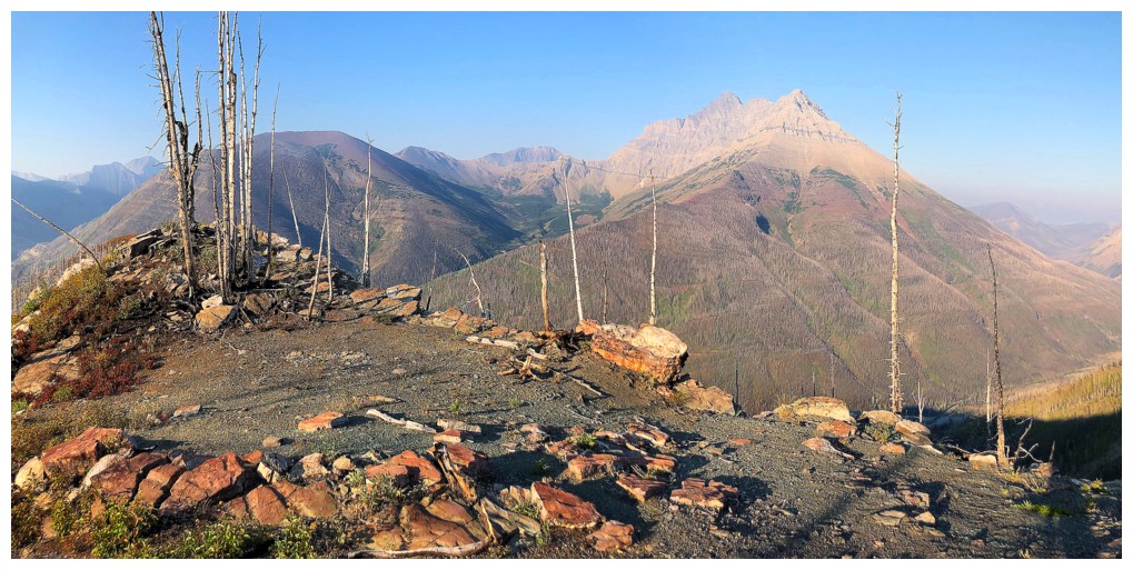
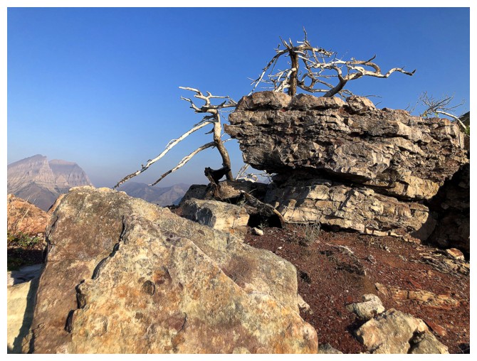
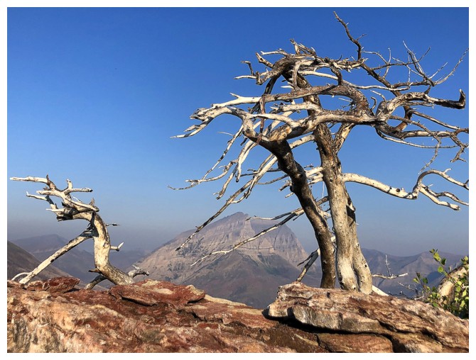
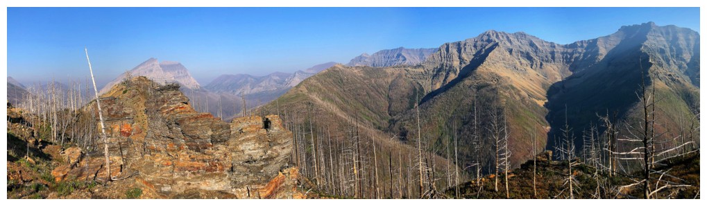
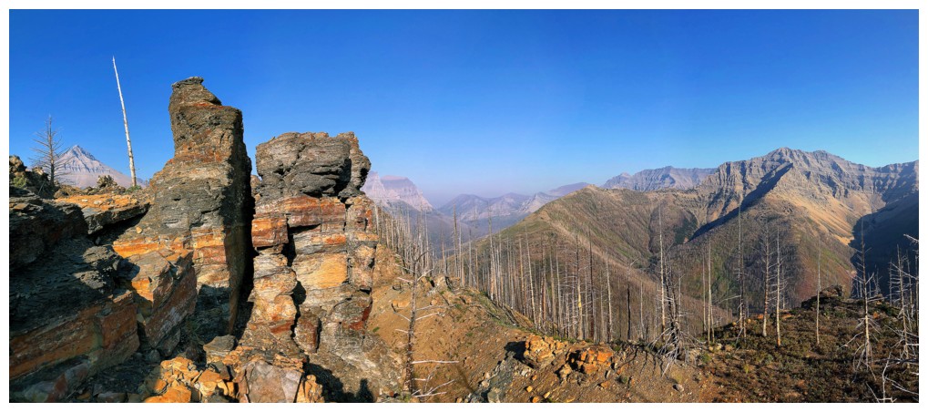
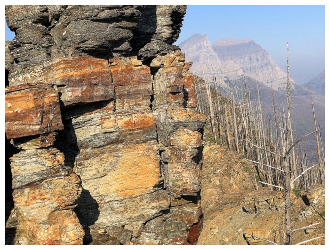
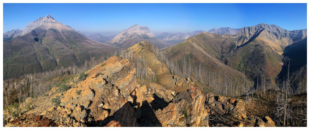
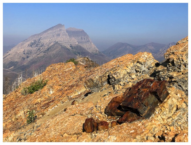
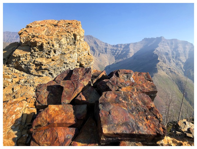
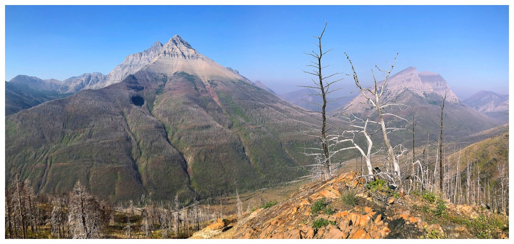
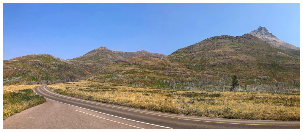
Although this day was forecast to be cloud-free, it certainly was not going to be smoke-free. Given that I only had a few hours to 
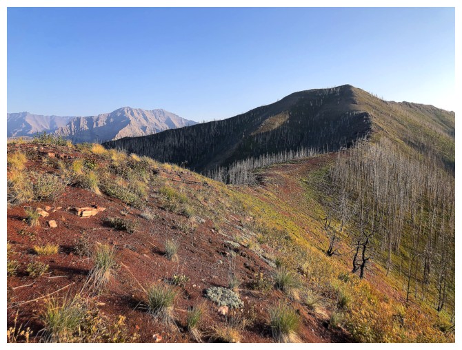
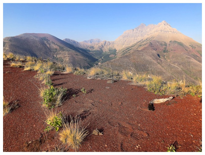
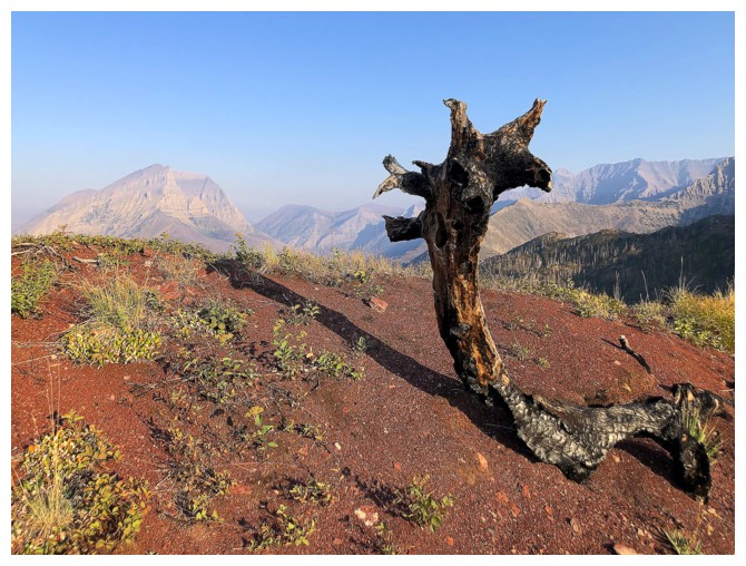
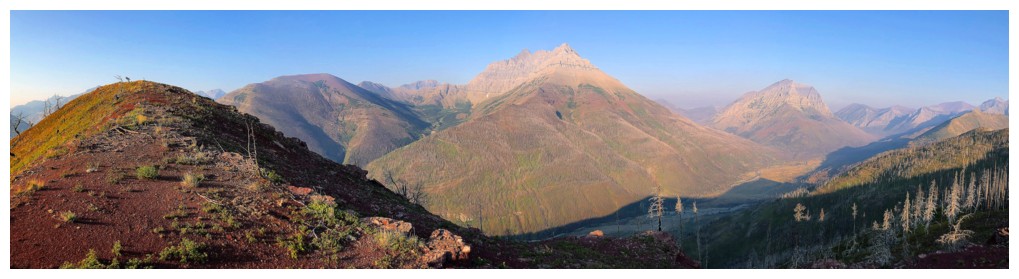
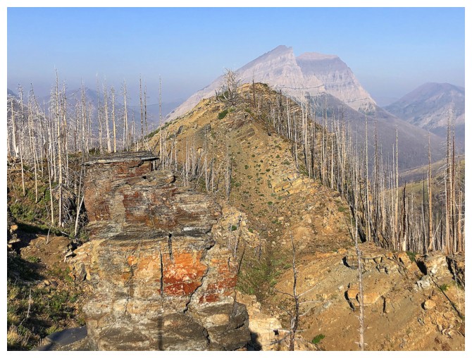
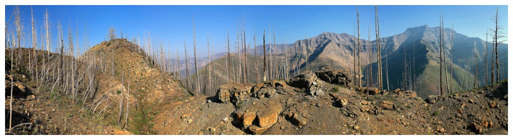
spare and the hazy skies, I chose a reconnaissance trip on Galwey North. 
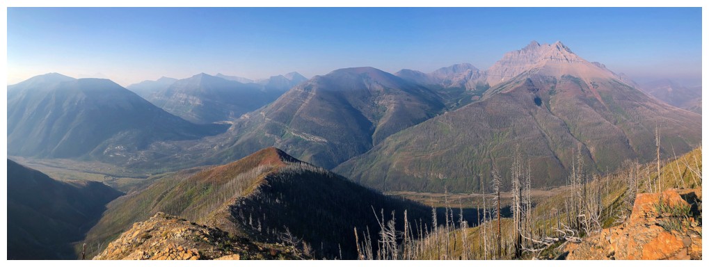
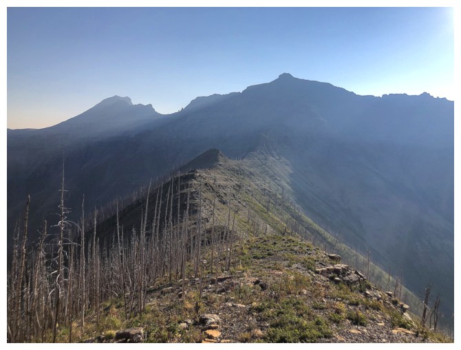
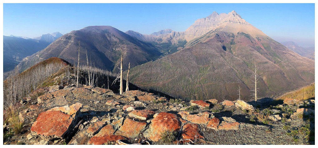
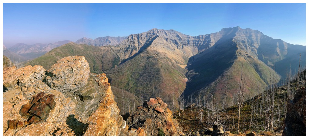
The goal of the trip was to see if a route west of Coppermine Creek up to the start of the south ridge of Galwey North was a good one. I had completed the incredibly scenic route a few years earlier and though pessimistic the new route would be equally scenic, there was only one way to find out.

In short, it didn’t hold a candle to the creek route. Granted, the wonderful views of the surrounding area were revealed much earlier, because elevation was gained immediately, those same views would be eventually realized regardless of the approach. And of course, the new route misses all the small but magnificent waterfalls that are a highlight of the creek.


Once I reached a significant and familiar highpoint on the Galwey North Ridge, the exploration portion of the trip had run its course. Lacking the time and motivation (because of the smoky skies) to continue to the summit of Galwey North, I turned around, with the intention of retracing my steps back down the ridge.
 
As luck would have it, upon returning to the southwestern-most highpoint of the ridge, an opportunity to try an alternate route down the west ridge presented itself. This route turned out to be delightful, with impressive rock scenery, interesting fissure-like terrain, and terrific views. Eventually the ridge would end up at Lost Horse Creek, but once the rock scenery gave way to less impressive terrain, I turned south and made my way more directly down to the Red Rock Canyon Road. A 3 km road walk back to the start ended an excellent half day of exploration.  


Mount Galwey. The normal route starts up the ridge in front. 


Mount Blakiston gets the first rays of Sunlight.


And also gets blocked by trees


The route ahead - easy but relatively dull travel


Blakiston is clearly going to be garner lots of photo attention


Here Comes The Sun - in tribute to recently departed David Crosby (report completed in February, 2023)


Not as hazy as I thought it would be but there is definitely smoke in the air


But views are excellent right off the bat


First red argillite encounter of the day


A winning combo: Galwey and Galwey North at the right, red argillite at the left. 


Closer look at Galwey and Galwey North. The colour of the Sun and the clear delineation of its rays indicate forest-fire smoke.


The ridge ahead looks inviting


Second encounter


Totally random burnt log


The view now includes Anderson Peak at the right


But Blakiston and red argillite still reign supreme!


Buchanan Northeast is left of the bump in the foreground and Ruby Ridge to the right


Lots of interesting blocks of rock on the ridge


Continuing along the ridge to the highpoint of the trip


More cool rock


One of the more interesting spots along the ridge


Of course the casualties of the Kenow fire are on display everywhere you go


Cool rock close-up


Pretty decent view for a smoky day. You can see the line of smoke running across the photo.


The fantastic south ridge of Mount Dungarvan (right) and the not-as-fantastic, but still totally awesome south ridge of Dundy Peak (left)


Hazy view of the ridge ahead, Galwey North, and Rogan Peak at the left


Close-up of
Piinaquiium / Ahkoinimahstakoo (Mount Blakiston). It's highly unlikely that the northeast ridge (right to left) goes as a scramble but I'd like to find out firsthand someday.


Back near the first highpoint of the ridge, looking down the alternate descent ridge


Colourful and interesting rock right away


Looking back at some of the fissure-like terrain


Lots to explore and lots of great rock. Dundy at the right and Dundy Junior further left. 


Close-up of the great rock


Continuing along the varied ridge


A few detours over to the right side yielded some impressive rock scenery


Back on the ridge


That's a different coloured rock!


The ridge continues for quite awhile before dropping down towards Lost Horse Creek


Great view to the northeast and some more uniquely coloured rock - probably because it contains iron and has been oxidized


Same as above


One more time!


This angle gives a very aesthetic view of Blakiston


Back to ogling at the rock on the ridge


Yikes!


Creepy, dead tree and Blakiston


Approaching the end of the fun stuff


Heading directly down to the road


Almost back to the road, looking up what I just came down


I love the panels Parks Canada has constructed - informative and educational


Pulling over on the drive home to check out some of the route. I went from left to right, stopped at the small summit in the middle, went back to the next summit to the left and down the ridge on the other side. 

The End

LOG