Mount Galwey IV
August 7, 2012
 Mountain height:
2348 m
Mountain height:
2348 m
Total elevation gain: 960 m
Ascent time:
1:45
Traverse time to
north summit: 1:15
Descent time:
2:10
Solo scramble.
Eight years after completing this awesome
loop route on Mount Galwey, I felt it was worth another run. Though I would
have rather had the company of my brother for the trip, it appeared I would
have to settle for stellar weather instead – both would have been awesome!
The trip unfolded without any surprises and
was thoroughly enjoyable from beginning to end. Needless to say, the perfect
weather added considerably to the experience.
The connecting ridge between
Galwey and the slightly higher summit to the northwest was probably the
highlight of the trip – tons of fantastic rock scenery, fun scrambling, and a
few route-finding challenges. That part of the traverse also brought back a
flood of great flashbacks from a superb day out with Kevin Barton in 2007,
where we ascended Galwey, traversed all the way over to Mount Dungarvan
{hitting an unnamed peak (later unofficially dubbed as “Rogan Peak”)
along the
way}, descended Dungarvan via Lost Horse Creek, and then walked back to
the
vehicle along the road – another super rewarding loop route but much
longer!
Also
enjoyable was the descent off the second and slightly higher
summit, although as I worked my way down the ridge, I came to the
conclusion
that going up this ridge would be even more enjoyable. The day ended
with a very pleasant hike along the Coppermine
Creek, in all its glorious colours.
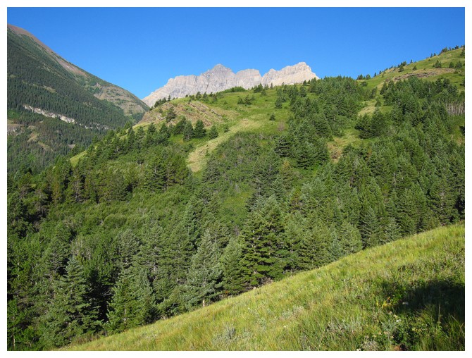
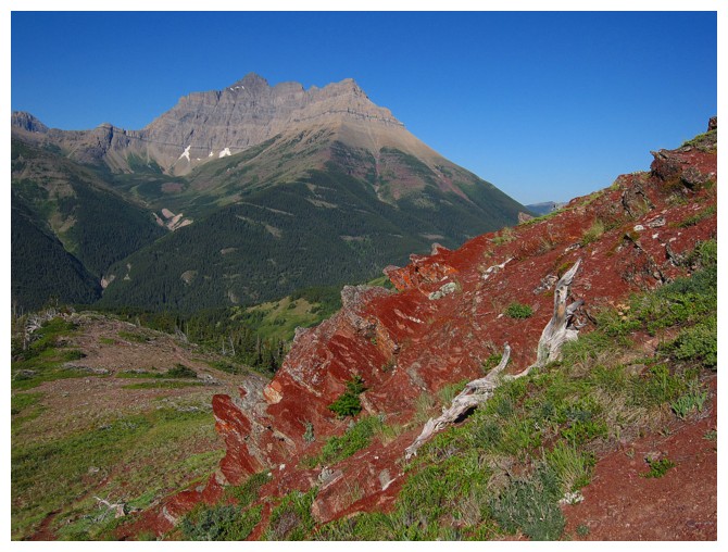
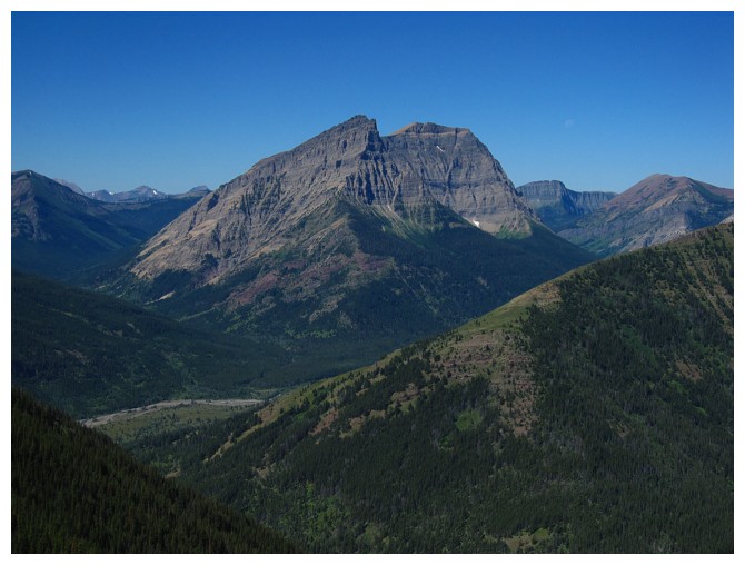
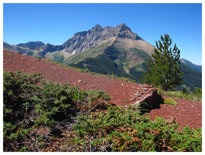
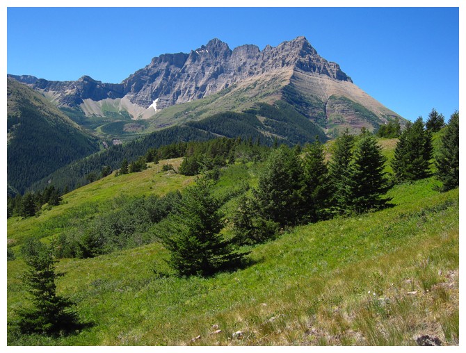
Mount Blakiston appears over the Galwey loop descent ridge
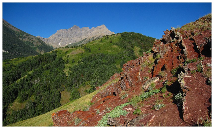
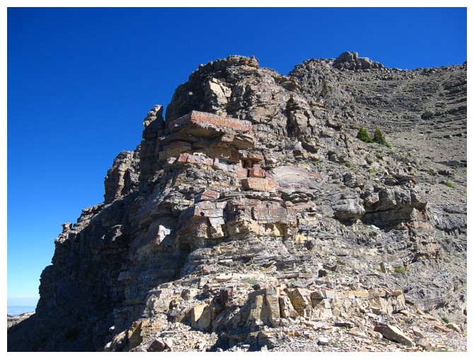
Add the lush green slopes and the brilliant red argillite
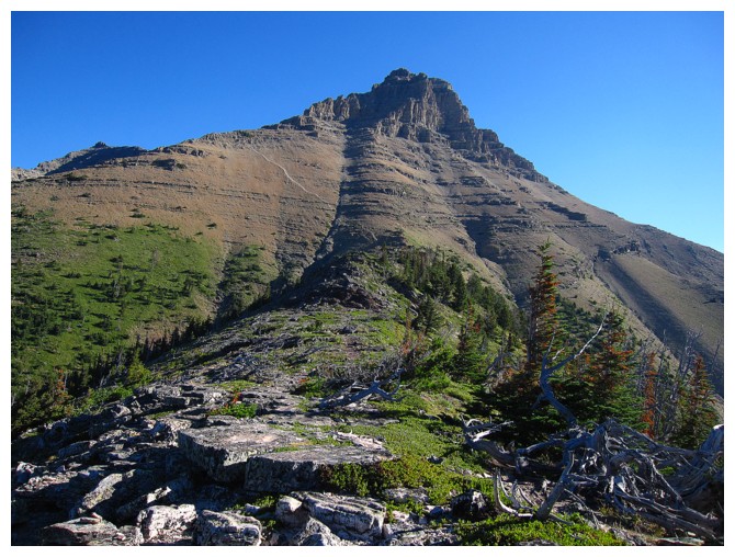
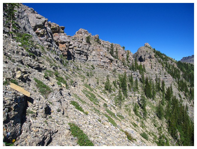
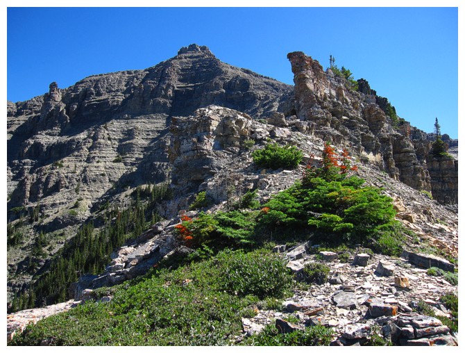
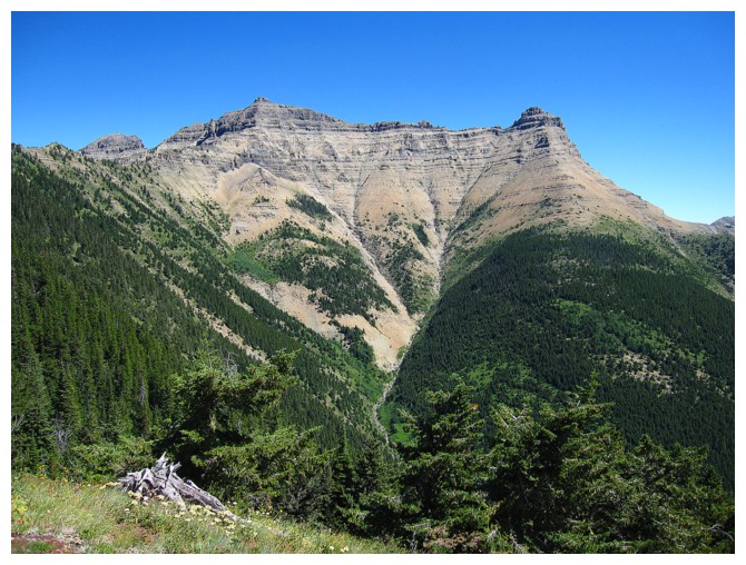
The south side of Galwey
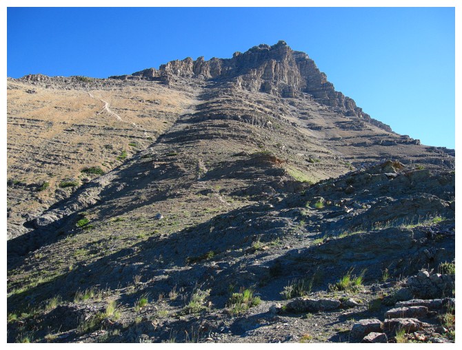
Note the trail that veers off to the left
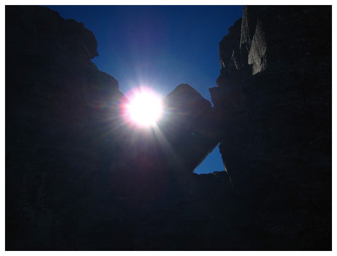
Here Comes the Sun with two legends
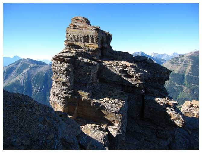
Nice formation that could possibly be scrambled up
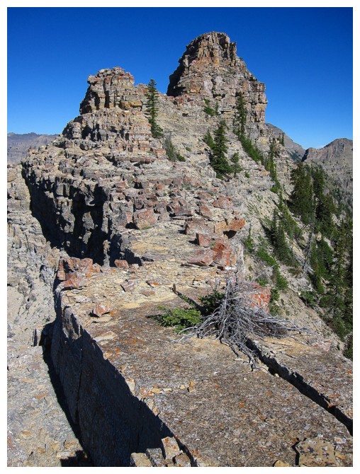
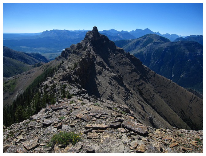
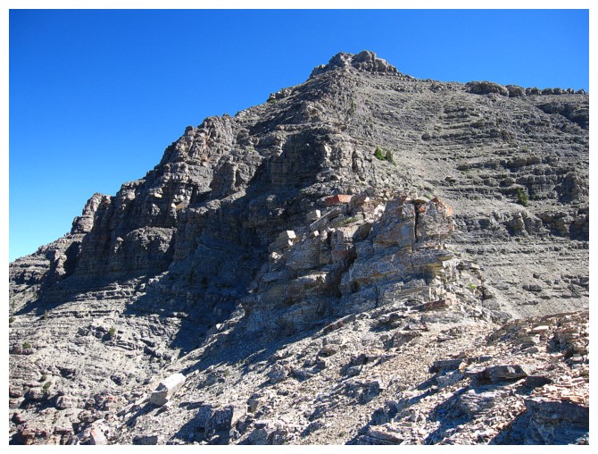
Already looking forward to traversing the connecting ridge between Galwey and the higher summit to the northwest
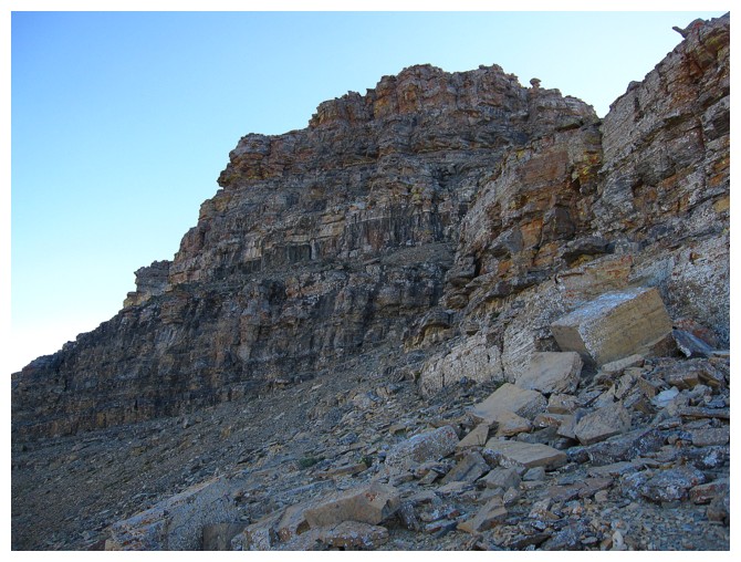
But first things first - the summit of Galwey. The little mushroom feature near the right is the key to the ascent.
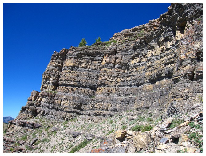
Looking up the final section to the top
Looking back at the exposed traverse at the right
Near the infamous window (not shown). The mushroom is the second feature from the left.
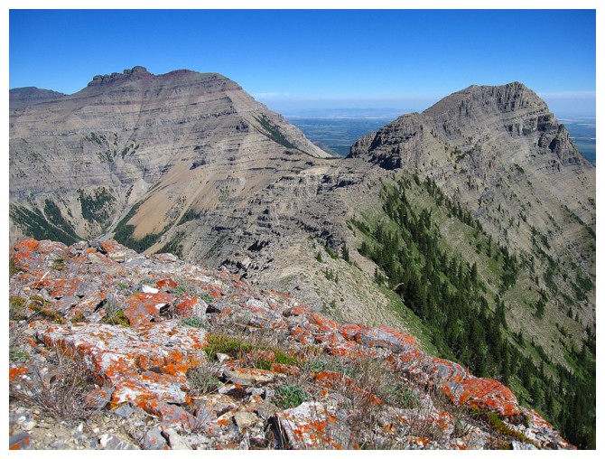
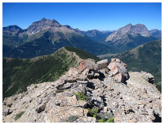
Views from the summit of Galwey: Dungarvan (centre), Rogan Peak (right), and Cloudy Ridge (left)
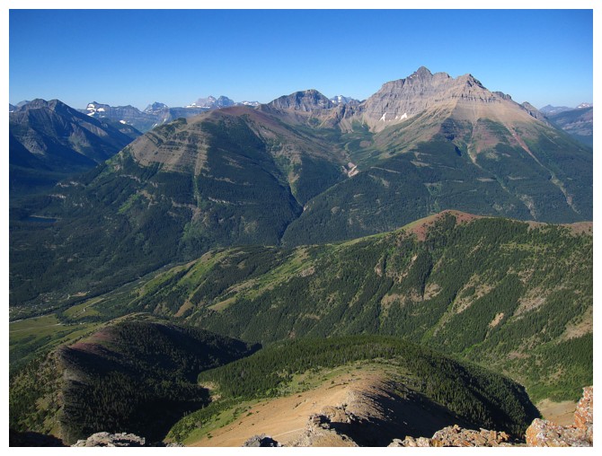
Right to left: Blakiston, Lineham, Ruby Ridge, and a few distant giants in GNP (Kinnerly and Kintla)
Anderson Peak, at the left, is still one of my favourite scrambles in the Rockies
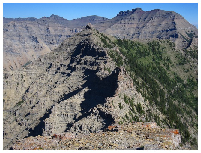
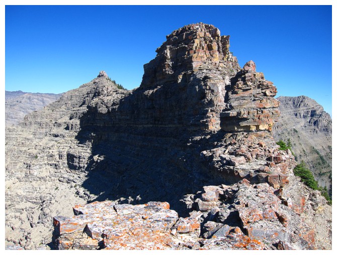
Closer look at the connecting ridge
Looking back at the exposed traverse and the window
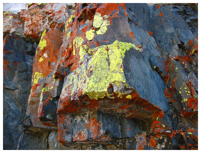
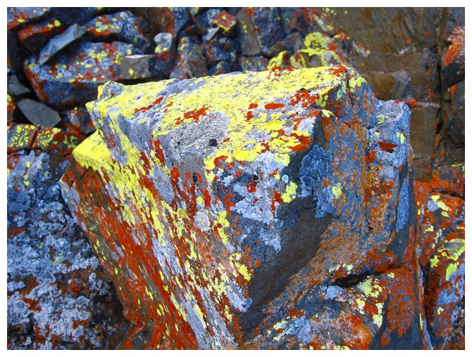
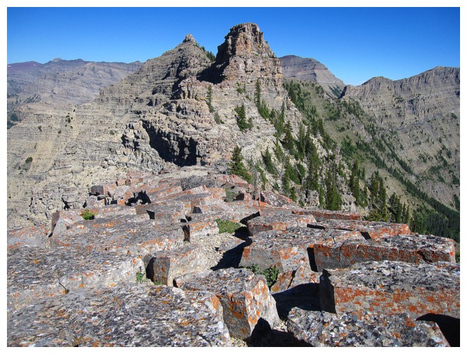
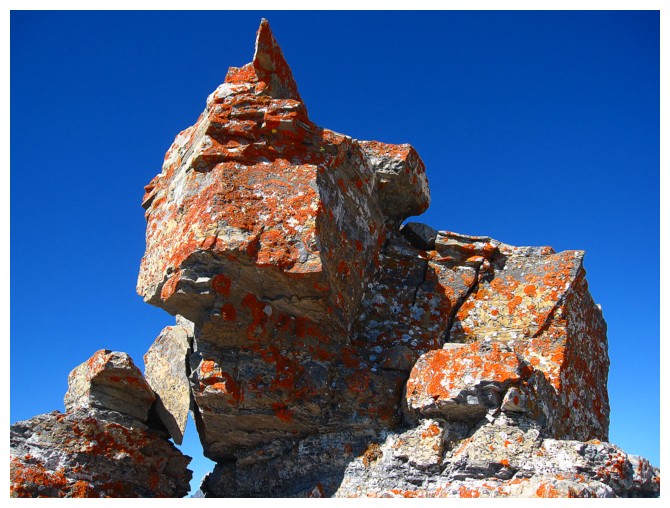
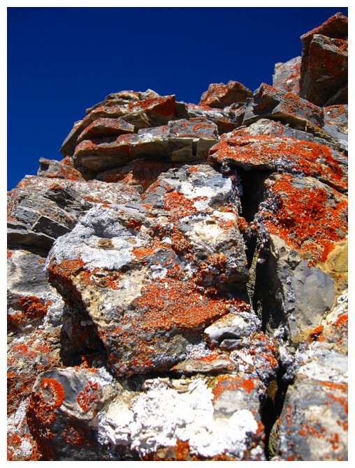
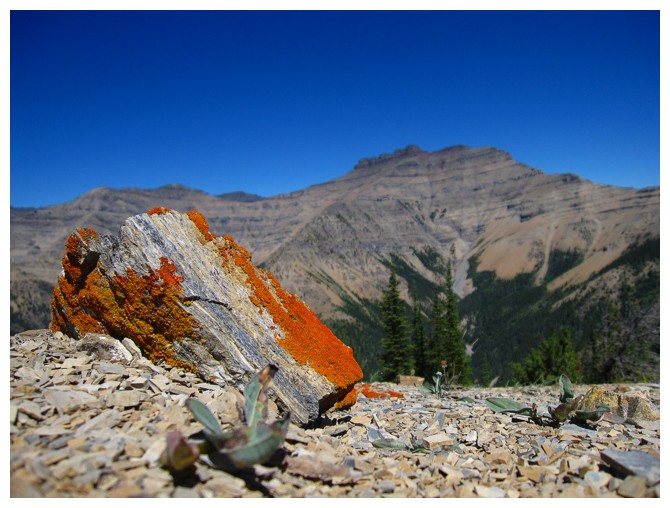
No Waterton trip is complete without the classic lichen photo
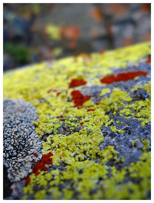
......or two
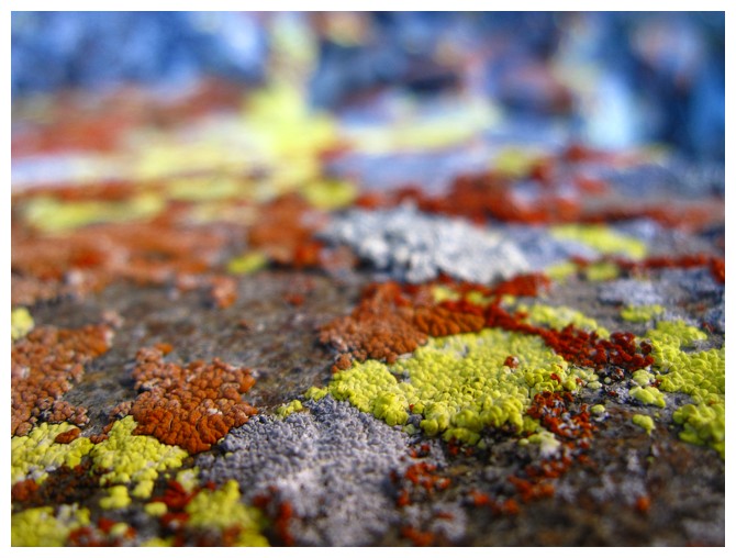
.....or three!
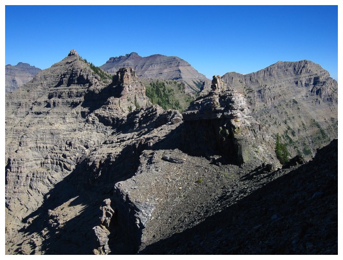
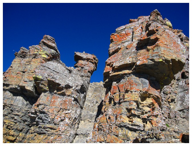
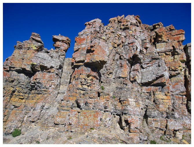
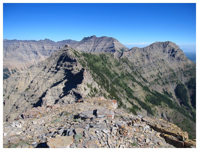
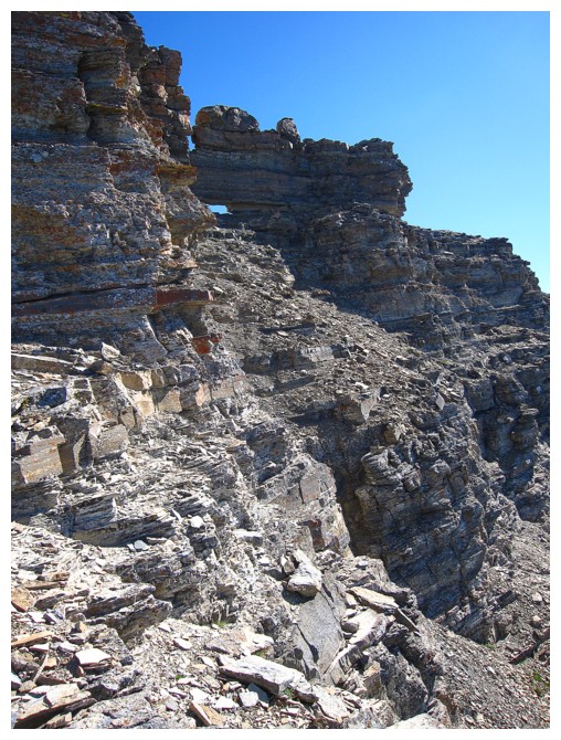
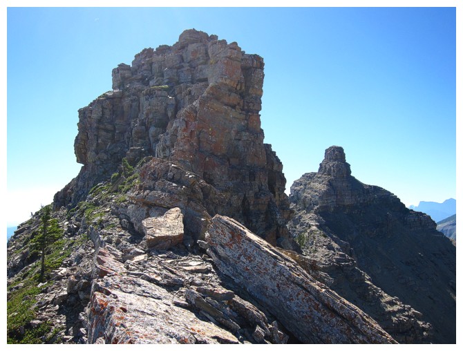
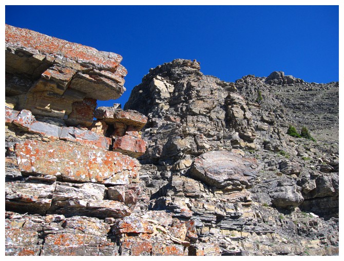
Several huge pinnacles of rock line the ridge
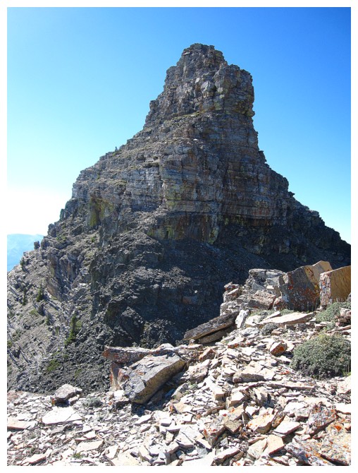
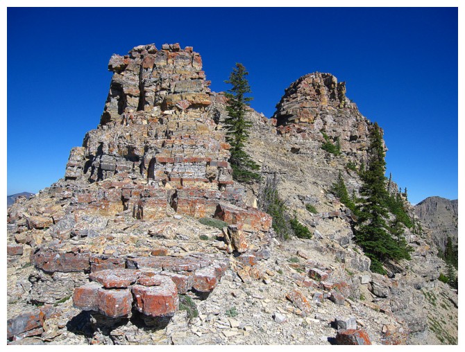
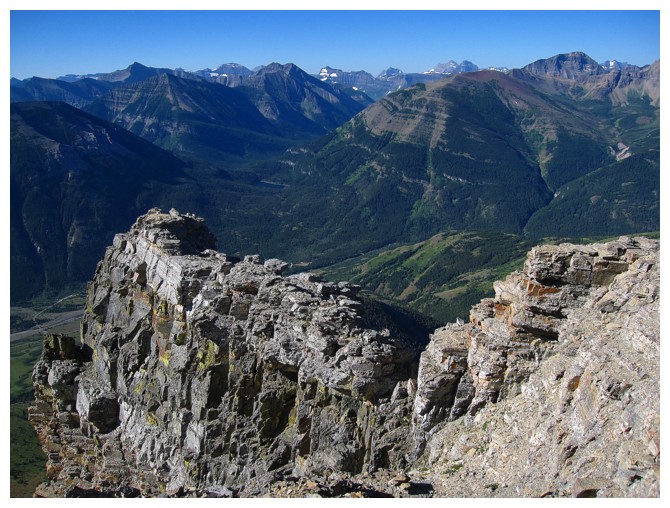
Looking back at the summit block of Galwey
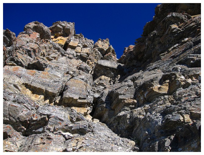
Love this section of fractured rock
The summit and the fractured rock
Continuing on the fascinating ridge
Some sections are fun to scramble up
Others must be circumvented
Either will work for others
But none are devoid of amazing, lichen-covered rock
Traversing on the right side of the ridge
Back on the ridge and looking back
Looking forward
Looking back again
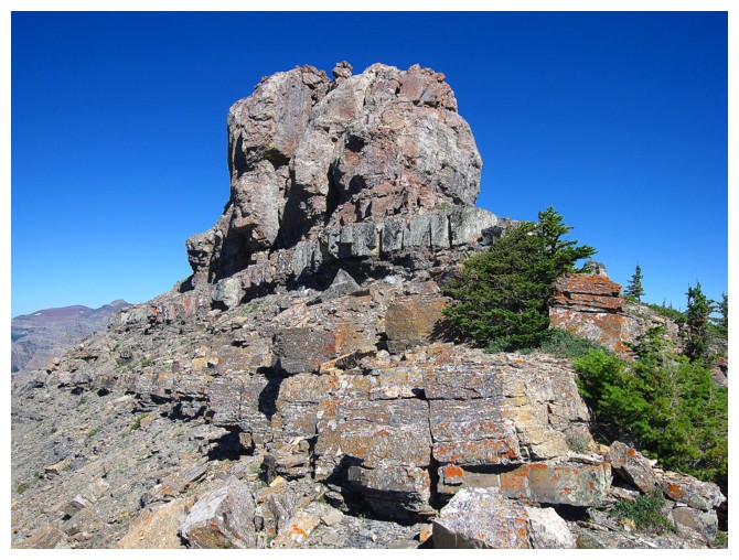
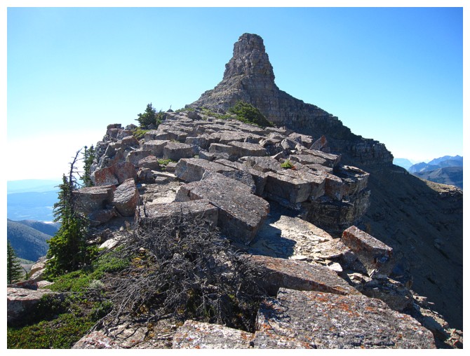
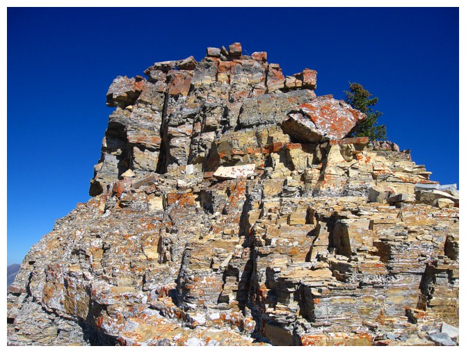
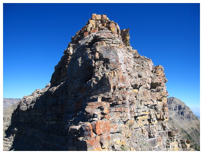
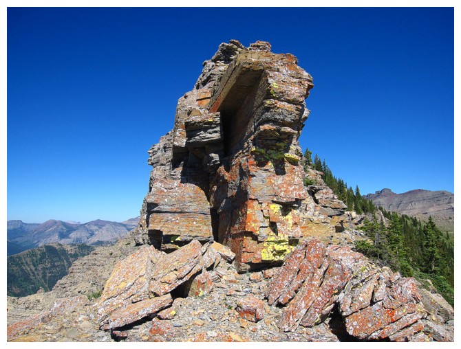
The summit block of the northwest summit. It can be scrambled head-on or around the other side
Whatever route you take, the beautiful, lichen-covered rock is unavoidable!
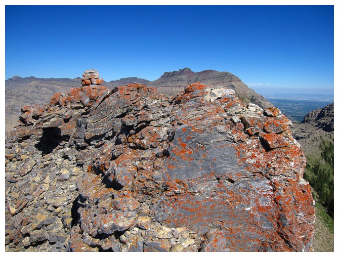
Approaching the summit cairn. If the entire summit block of Galwey was
not the distinctive and beautifully aesthetic spire that it is, it's
possible that this point would be the true summit, as it is higher than
Galwey.
Dungarvan and Rogan
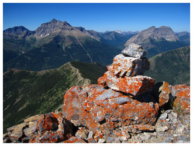
The cairn, Blakiston and Anderson
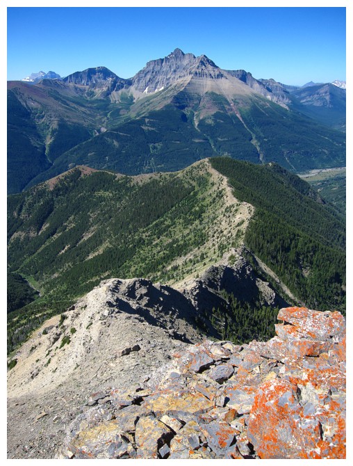
Heading down the other ridge. It looks easy from here, but there are a few surprises along the way.
Fun terrain to descend, but would be even better to ascend
Still enjoying easy travel down the ridge
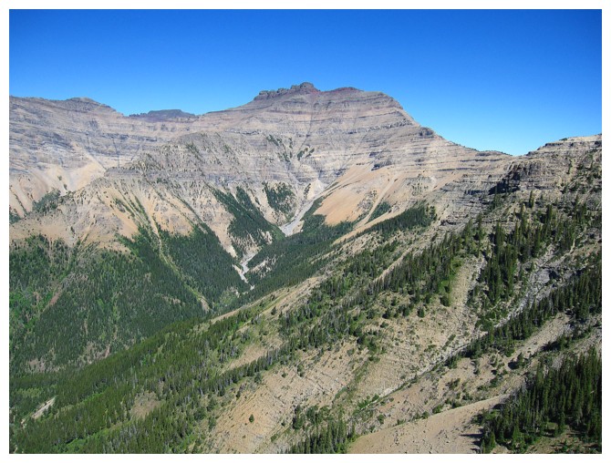
Good views of Dungarvan's outstanding south ridge - another of my favourite scrambles anywhere
One of several sections that were not downclimbable
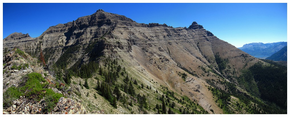
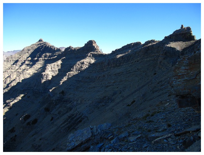
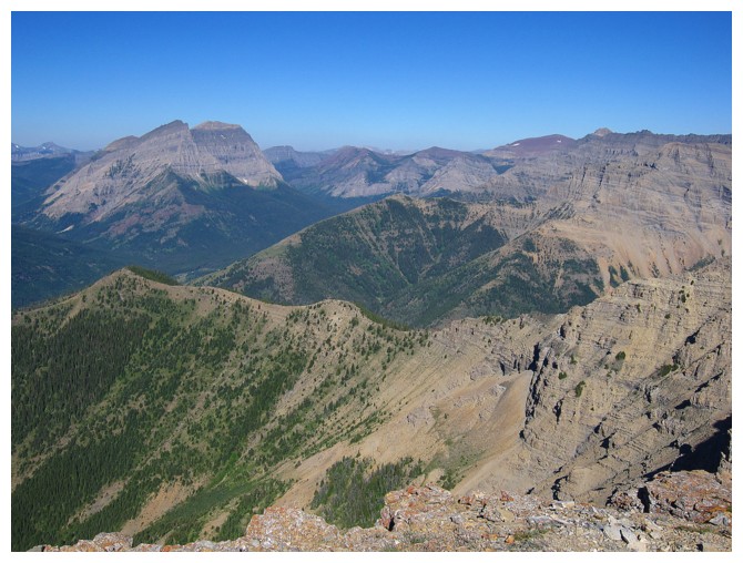
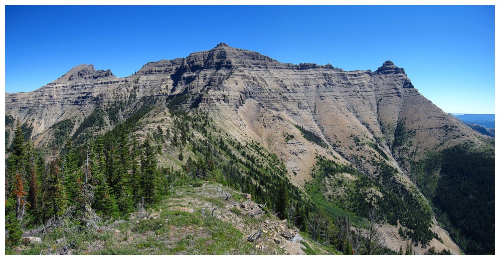
Looking back at the ascent ridge (right), both summits, the connecting ridge, and the descent ridge
Still a some ridgewalking to go, but much easier
Anderson Peak again
Two of my favourite things in Waterton: lichen-covered rock and Mount Dungarvan
Rogan Peak, at the left, joins the show
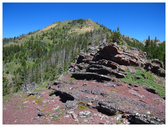
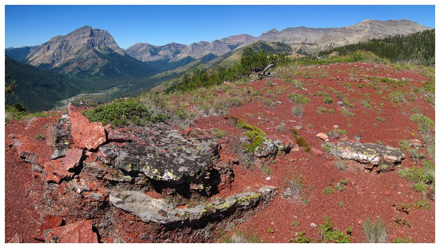
Back to the red argillite layer of rock
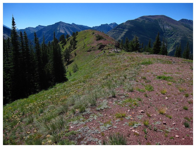
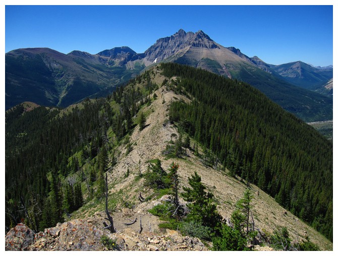
The definition of "pleasant ridgewalking"
Last look at the route
Last look at Blakiston
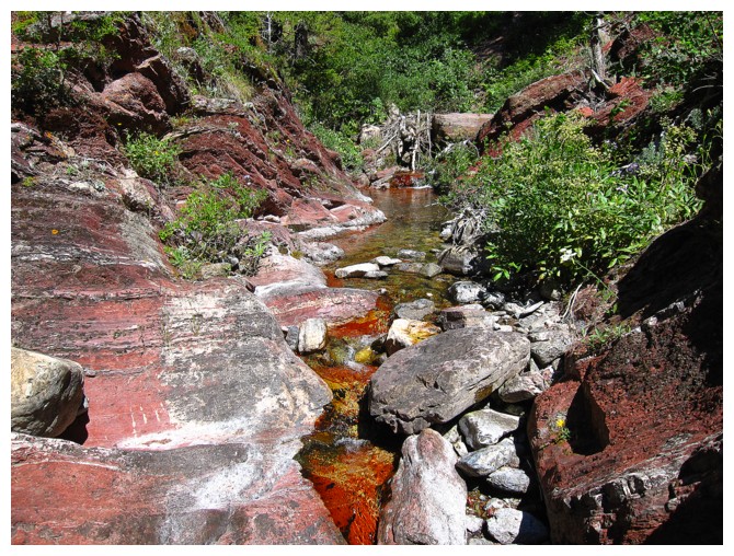
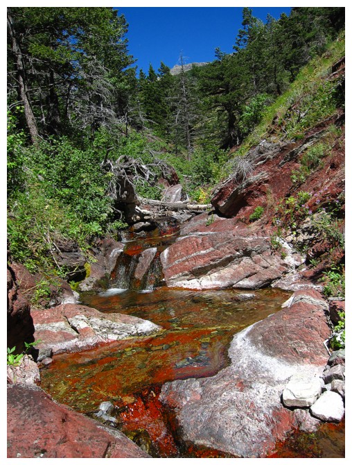
Coppermine Creek
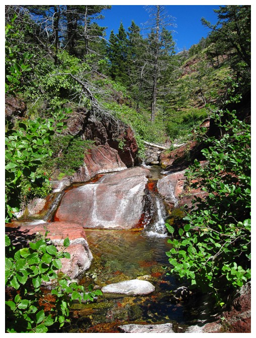
Maybe Red Argillite Creek would be a more appropriate name!
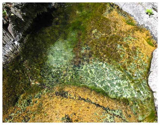
Or Red and Green Argillite Creek
The End
LOG