"Prairie Storm"
(outlier between Prairie Bluff and Victoria Peak)
November 24, 2019
Mountain height: 2090 m
Elevation gain: 841
m
Roundtrip time: 4 hours
Scramble with Dave.
When Dave McMurray informed me that
he and Brad Wolcott had found a great route up another outlier of Prairie
Bluff (one of my favourite mountains in the Rockies), I was super motivated to
check it out. As luck would have Dave was also available to join me for the
day. His great company and extensive knowledge of the area (and route up) were
more than appreciated.
 Unfortunately, Dave had also
informed me that “No Trespassing” signs had suddenly appeared at the Victoria
Ridge trailhead. To lose access to this trailhead is a huge blow to hikers and
scramblers, who, for as long as I can remember, have routinely made their way up the extraordinary valley to
explore its treasures.
Unfortunately, Dave had also
informed me that “No Trespassing” signs had suddenly appeared at the Victoria
Ridge trailhead. To lose access to this trailhead is a huge blow to hikers and
scramblers, who, for as long as I can remember, have routinely made their way up the extraordinary valley to
explore its treasures.
Nevertheless, this sad turn of
events wasn’t about to stop Dave. He had done his research thoroughly and had
mapped out a route to get into the valley without trespassing on any private
property – the only downside of the route being it was not accessible with a
bike.
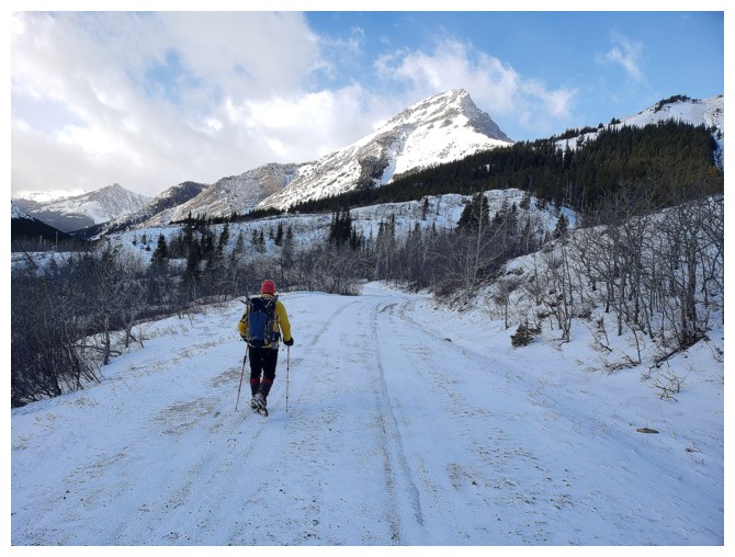
Starting a few hundred metres north
of the usual trailhead we made our through light forest, generally paralleling
the gas road that we had both used so many times in the past, but several
hundred metres north of it. Travel was certainly not difficult on any level, though
there was a fair amount of elevation gain, but compared to hiking or, even
better, biking the almost flat gas road, it did take on an air of perplexing
frustration. Eventually we did intersect one of the upper gas roads and
followed it down to the main gas road, always staying on public land.
 The wind at this point was brisk,
but not an issue at all. The same was the case as we left the main gas road and
started up the ridge towards the summit. Dave mentioned that the ridge was
surprisingly long and he could not have been more correct. There were several
false summits before the apex of the outlier was reached – an outlier that Dave
had named Prairie Storm. Dave had thankfully
also named the other outliers of Prairie Bluff as Prairie Fire and Prairie Sky,
so I can now avoid the cumbersome “Southern outlier of Prairie Bluff”, or the
even nastier “Outlier southwest of the Southern Outlier of Prairie Bluff”!
The wind at this point was brisk,
but not an issue at all. The same was the case as we left the main gas road and
started up the ridge towards the summit. Dave mentioned that the ridge was
surprisingly long and he could not have been more correct. There were several
false summits before the apex of the outlier was reached – an outlier that Dave
had named Prairie Storm. Dave had thankfully
also named the other outliers of Prairie Bluff as Prairie Fire and Prairie Sky,
so I can now avoid the cumbersome “Southern outlier of Prairie Bluff”, or the
even nastier “Outlier southwest of the Southern Outlier of Prairie Bluff”!
Unfortunately, once out in the
open, the wind did become an issue – and in a big way. We were able to make to
the summit (unlike 24 hours earlier on Yarrow Ridge, where I bailed only 100 m
from summit after the wind actually lifted me off my feet), but the wind was
raging and after a very brief summit stay it was time to leave.
We had scoped out an alternate
descent route that would take us down to the gas road below. Hoping this would
grant us reprieve from the wind we started down. Not so. The wind on the
northern side of the peak was insane! Two minutes into the attempt we were
hi-tailing it back to the summit and then taking our ascent route down. Thankfully
descending this route was very fast and we were back into a more tolerable
environment in short order.
The remainder of descent went
without a hitch, though after having been tormented by the wind, we both could
have done without the extra and necessary elevation gain, now that the first
kilometre of the gas road is inaccessible.
Despite being chased off the mountain by the
wind, an excellent day out. Definitely a trip I would repeat in more favourable
weather conditions. Thank you Dave for your company.
Click HERE to see Dave's report.
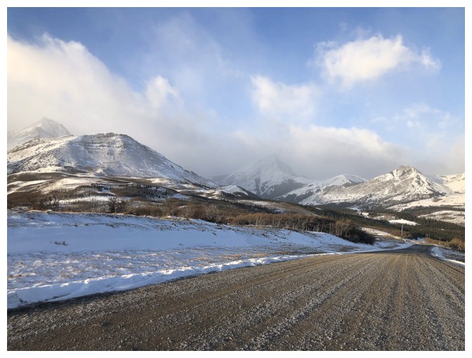
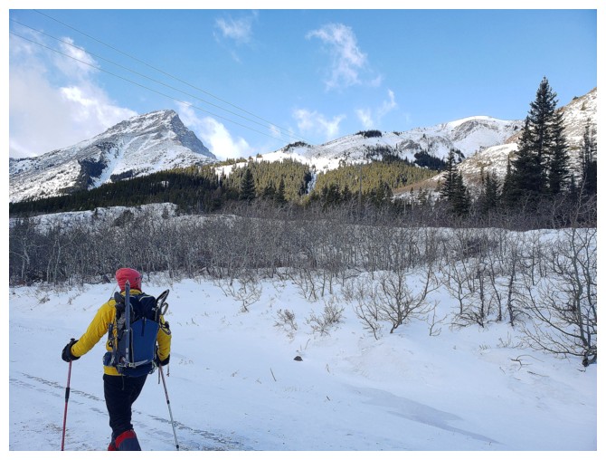
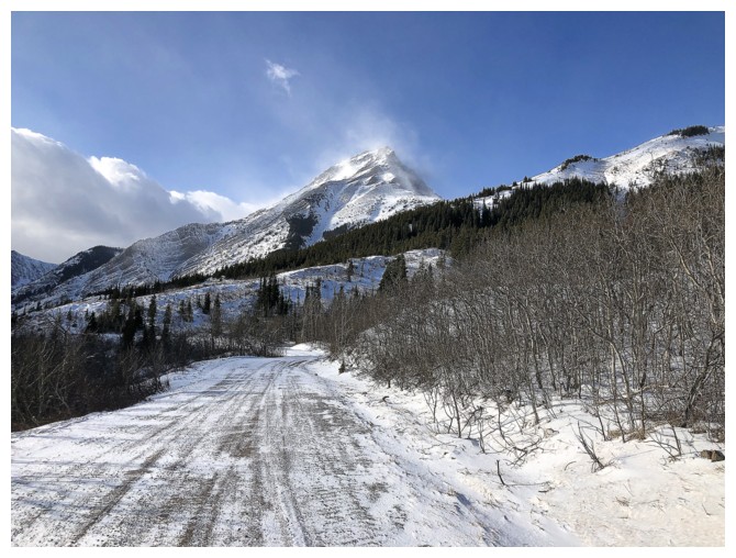
Not the clear skies we were hoping for on the drive in. Prairie Storm is the snowy peak, second from the right.
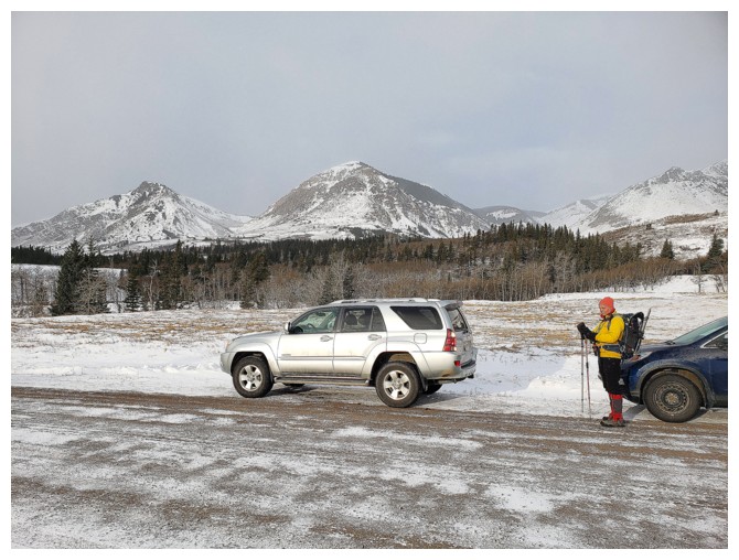
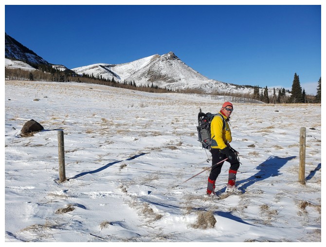
At the parking area with the other outliers of Prairie Bluff behind - Prairie Sky (left) and Prairie Fire (centre)
(photo by Dave)
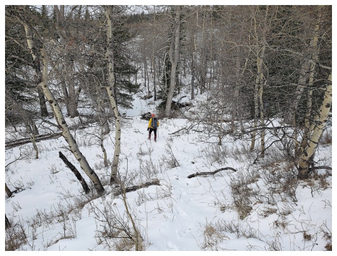
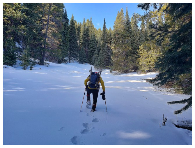
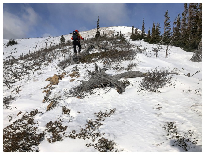
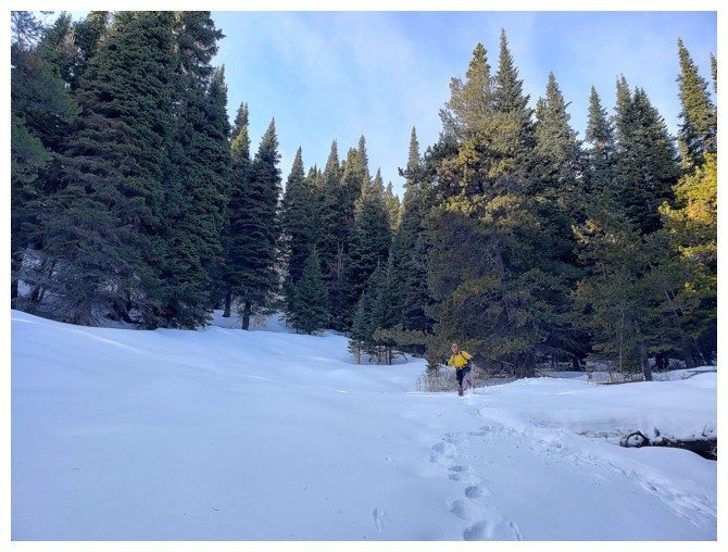
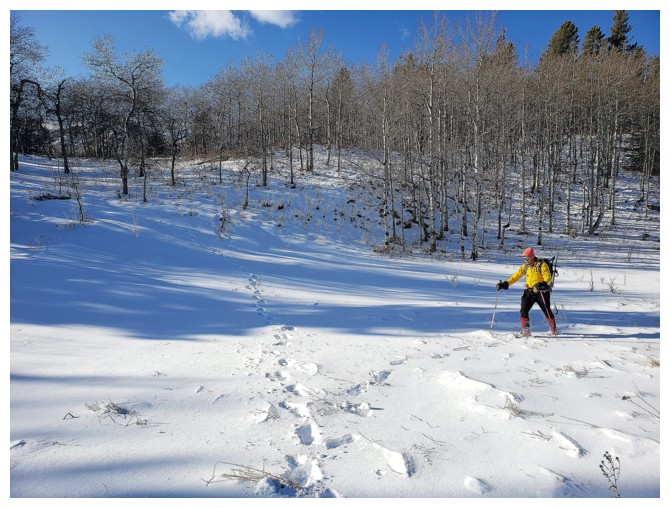
Typical terrain near the beginning (photo by Dave)
Dave points the way
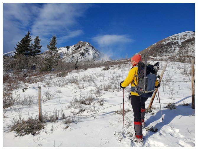
There was a fence to get over, but it wasn't on private property (photo by Dave)
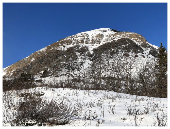
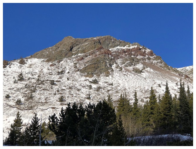
Prairie Fire - one of my favourite ascents of 2018
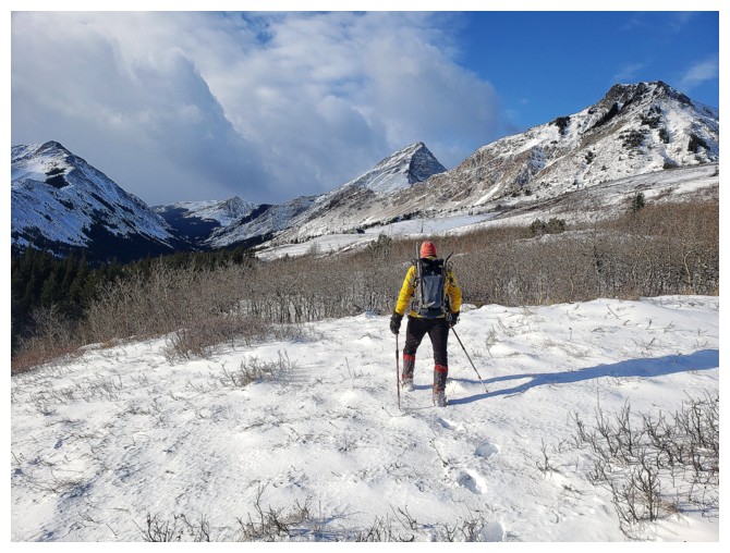
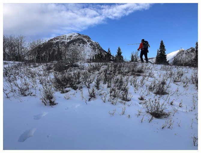
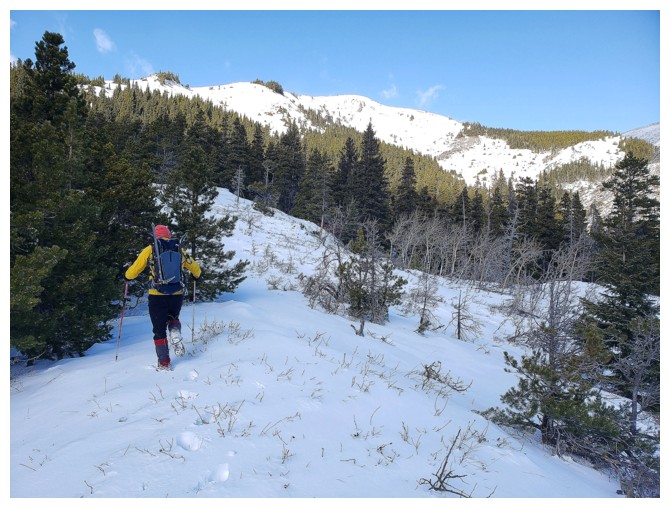
Onto more open terrain (photo by Dave)
After 30 or so minutes of off-trail travel we stumbled upon one of the upper gas roads (photo by Dave)
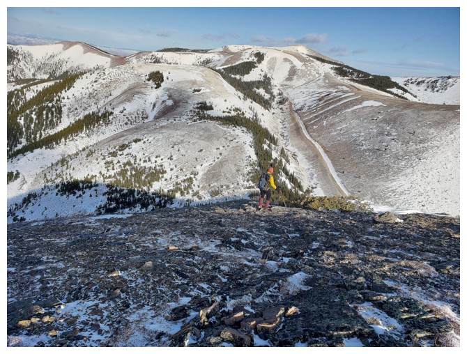
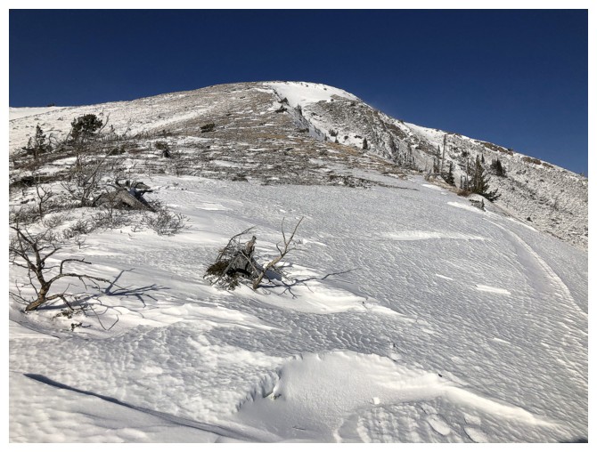
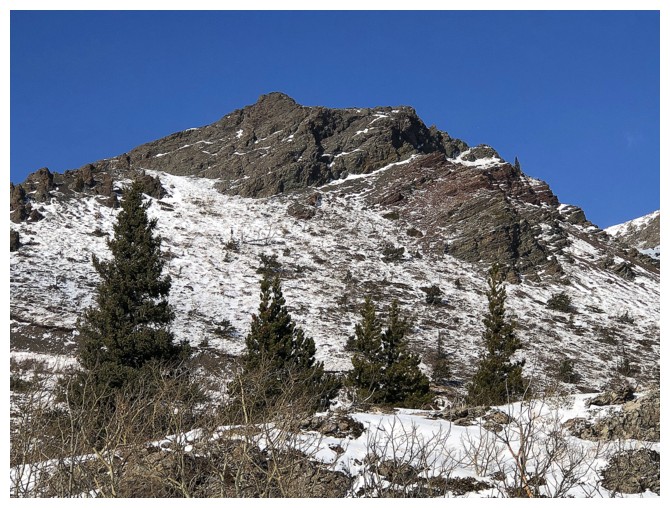
The outliers of Prairie Bluff are very alluring
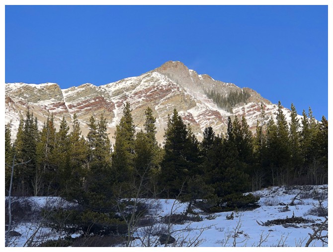
Prairie Sky again
Mesmerized by all the potential here. Prairie Storm can now be seen at the right (photo by Dave)
Leaving the main gas road and starting up the ridge (photo by Dave)
The route up is obvious and straightforward (photo by Dave)
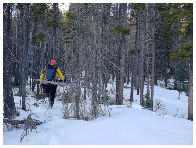
But there is a section of forest to get through (photo by Dave)
Then open terrain (photo by Dave)
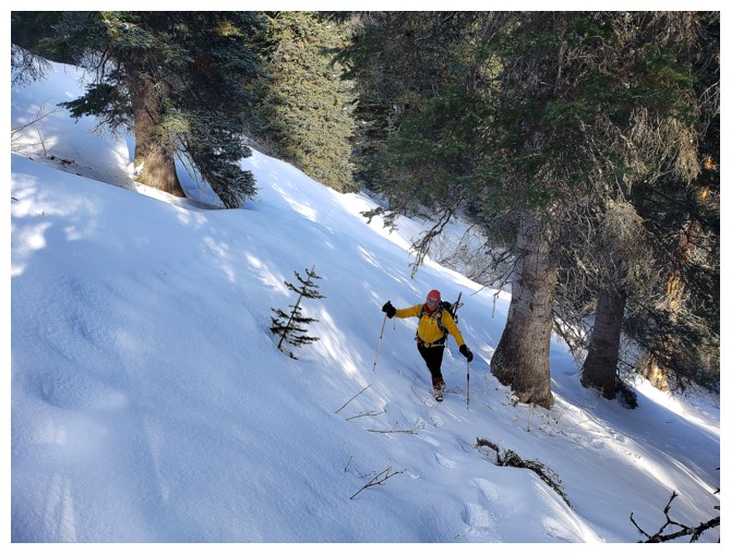
Then a steep section to gain the ridge (photo by Dave)
Dave's tracks up the steep section
Dave on the ridge
Prairie Sky has an outlier of its own!
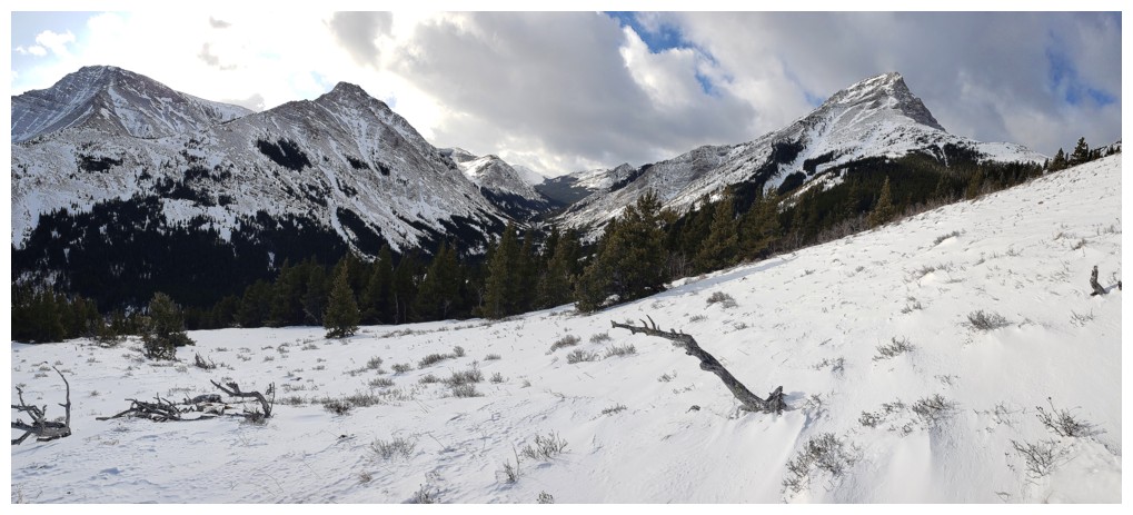
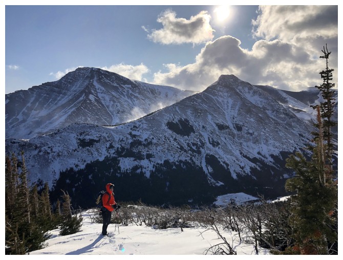
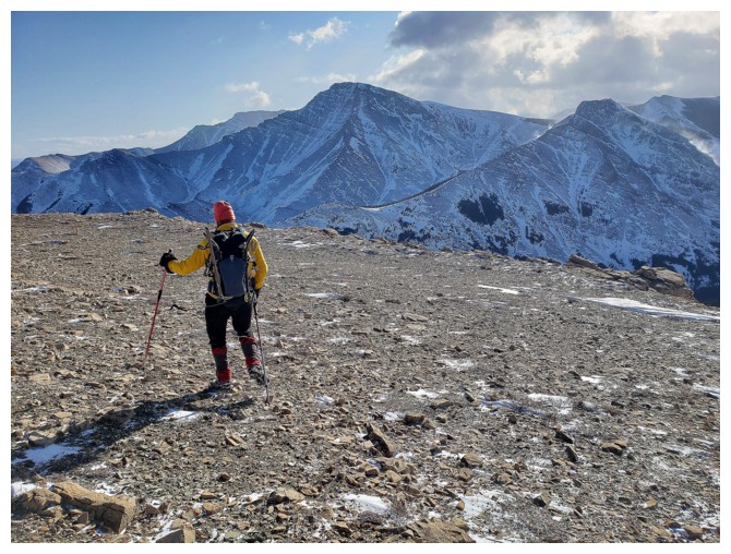
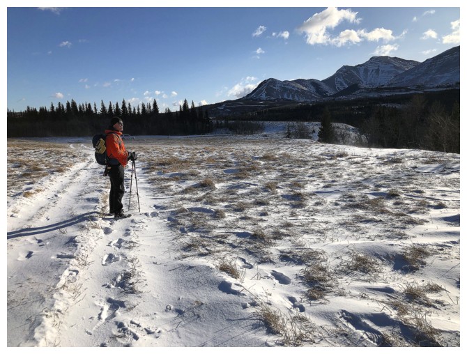
The views start to really improve. Pincher Ridge (left) and Victoria Peak (right) (photo by Dave)
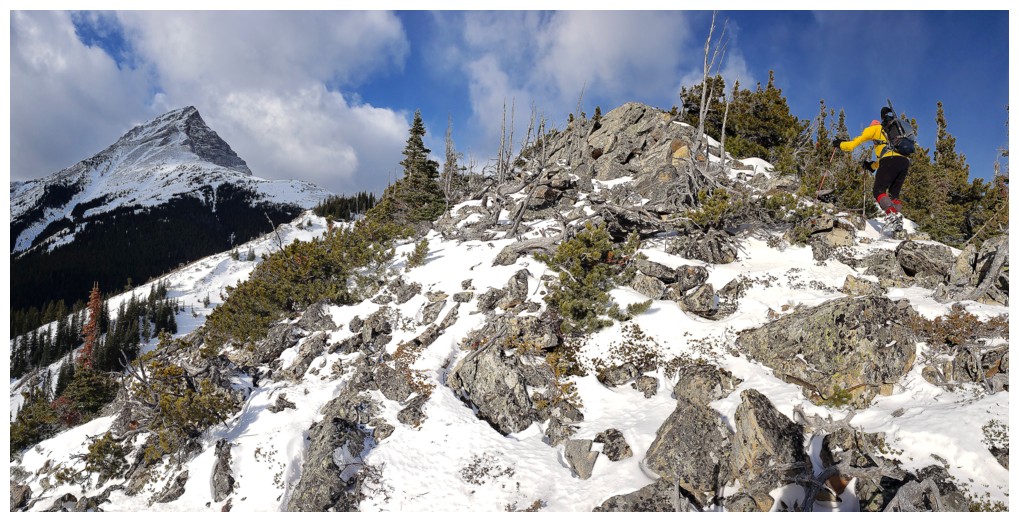
A fun rocky section along the way (photo by Dave)
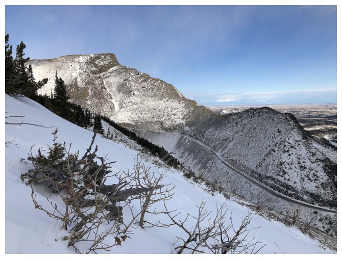
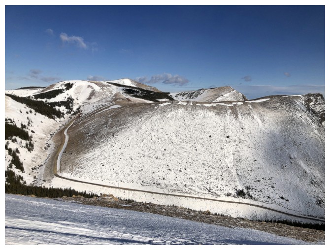
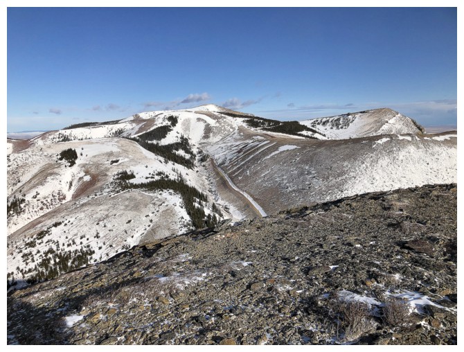
The gas road that curls around Prairie Sky is clearly visible and makes for a circuitous but very easy descent
Dave continues to lead the ascent
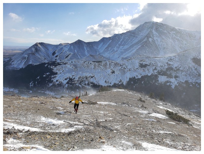
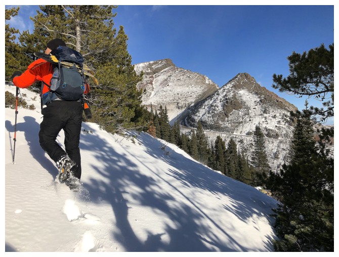
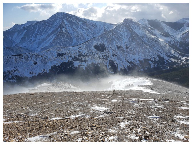
I follow. The wind really picked up at this point (photo by Dave)
Easy terrain, but the wind made it feel much harder
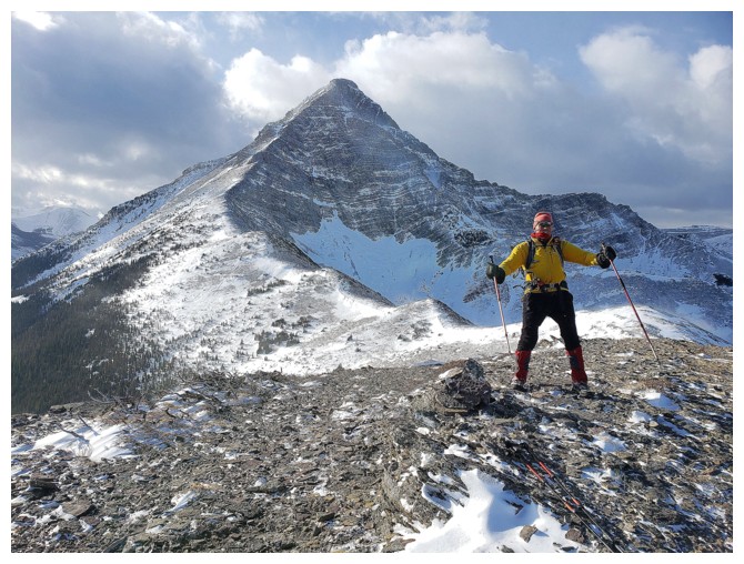
Of course Victoria Peak was front and centre throughout
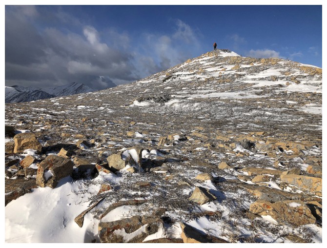
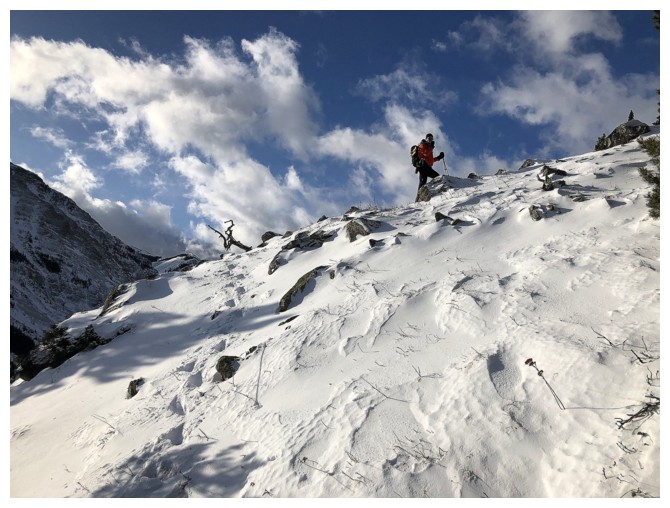
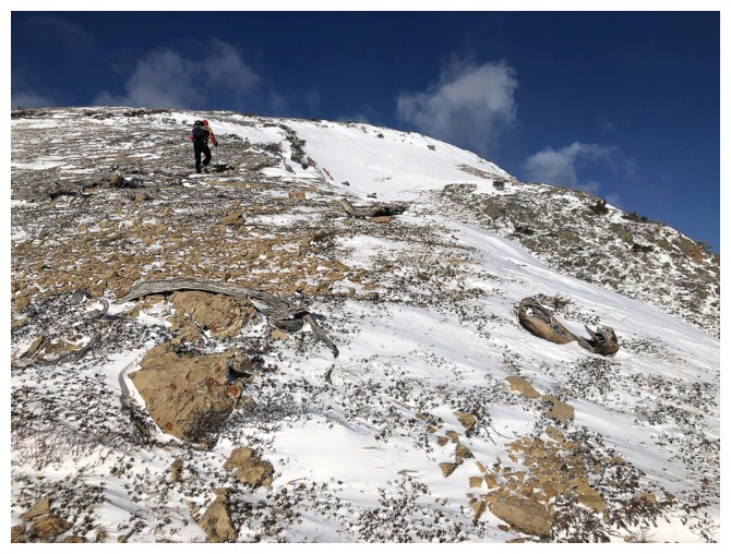
Dave reaches one of several false summits
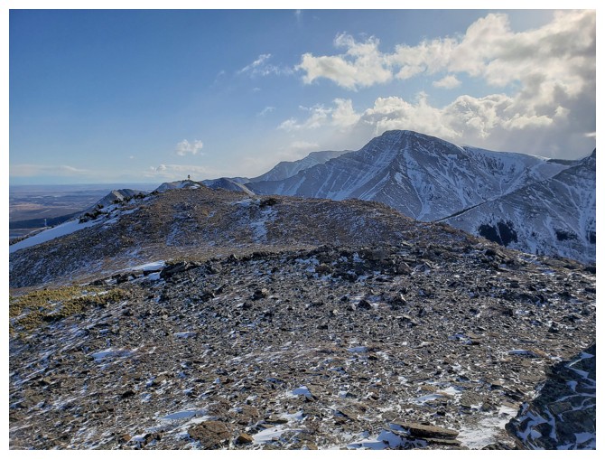
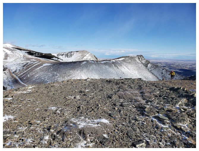
Prairie Bluff, Prairie Fire, and Prairie Sky, as seen from Prairie Storm - I like it!
From the summit Dave can just see me gaining the upper ridge (photo by Dave)
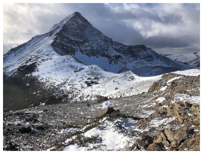
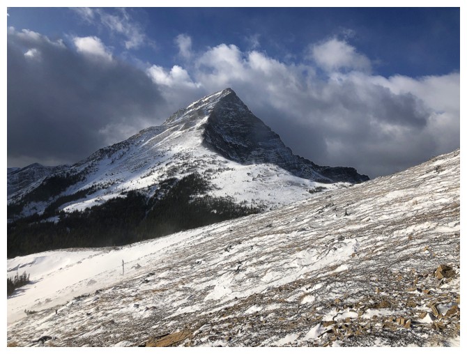
Best view of Victoria Peak
Last few steps to the summit (photo by Dave)
Leaning back into the wind (photo by Dave)
Looking east to Prairie Bluff
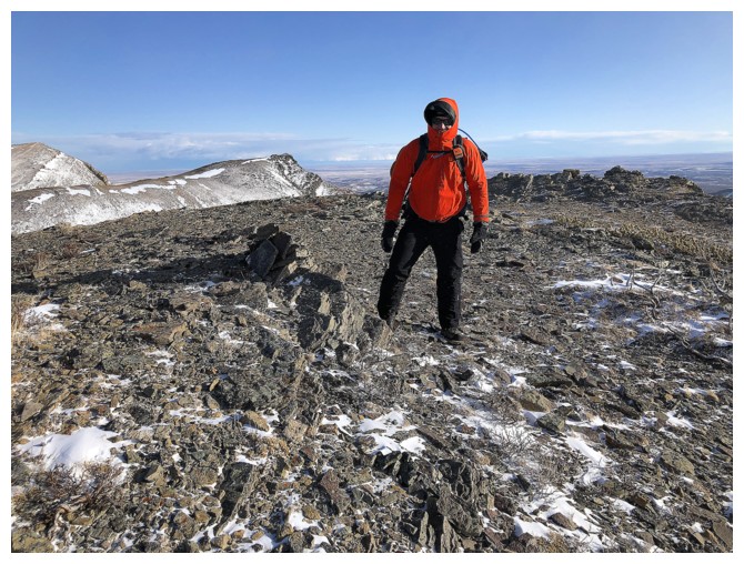
Dave at the summit
Our very short attempt at getting down to the gas road below. The wind here was severe (photo by Dave).
Returning the way we came (photo by Dave)
The wind was forecast to die down around this time, but it only increased in severity as we descended (photo by Dave)
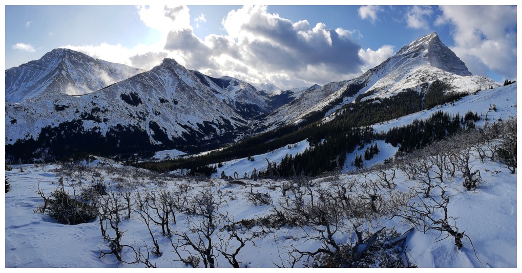
Nice pano of the area by Dave. My hands were too cold to take photos for most of the descent!
October ascents of the of Pincher Ridge in 2011 and 2018 remain
as two of my more memorable trips up that mountain (photo by Dave)
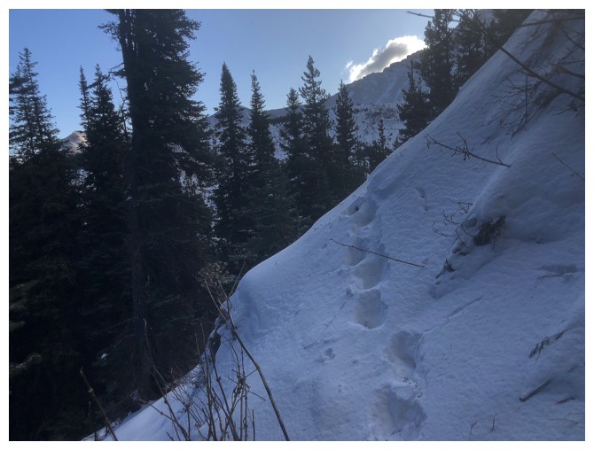
Looking back up the ascent slopes
Back into the shelter of the forest (photo by Dave)
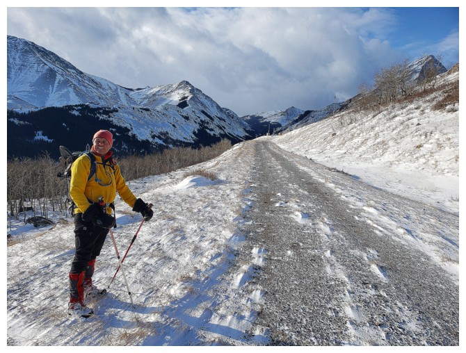
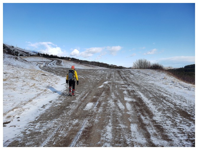
And back on the gas road
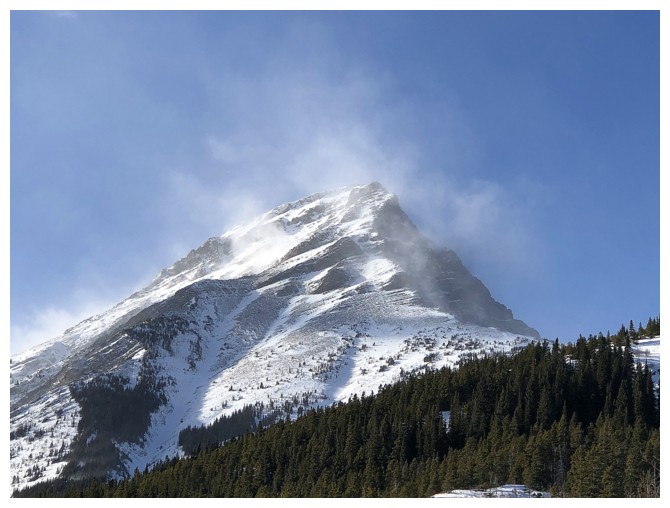
Victoria Peak is getting hammered by the wind
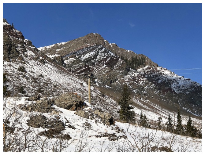
One of the outliers that I will hopefully someday return to check out
Prairie Sky again. There is some pretty cool terrain on its west side.
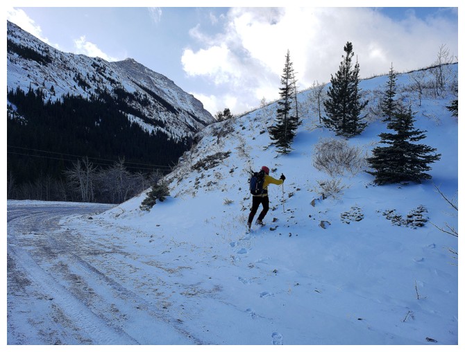
The
unfortunate part of the new route is that you have to turn left here,
ascend the gas road, then travel through light forest to get around the
private property (photo by Dave)
At least there are good views of Prairie Bluff's south ridge along the way (photo by Dave)
As you can see by the tracks, we returned from a slightly different direction than on one way in (photo by Dave)
Dave surveys the area before finishing the descent
The End