Barnaby Ridge II
Click HERE to see what occurred before
...and on return that
sketchy snow slope was not sketchy at all in one place, allowing me to traverse
directly over to the ridge of Barnaby, instead of going all the way back up The
Amoeba. Another easy and super scenic hike to the summit of Barnaby ensued. Seven
hours and thirteen minutes after leaving the trailhead, I finally reached the
summit of the intended objective, very happy but equally exhausted.
Returning the same
way I came up was hardly an option in my present physical condition – too many
ups and downs. Instead, I decided to descend the nearest drainage to the north.
This worked magnificently on generally easy terrain. In fact, I ended up in the
same drainage Mark and I had used for ascent 17 years earlier. Once at the
bottom, the trip finished with a mercifully easy 1.4 km walk along the road back to the
parking lot. After a more than seven-hour ascent, I was very pleasantly
surprised to complete the entire descent in less than two hours.
Overall,
a totally
awesome return to Barnaby Ridge. Given the "more than meets the eye"
potential for other routes up this beaut, more visits are
likely.
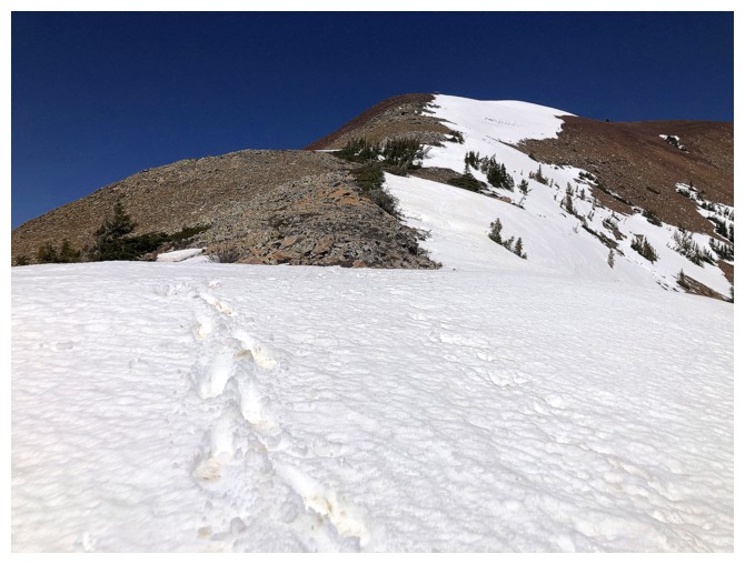
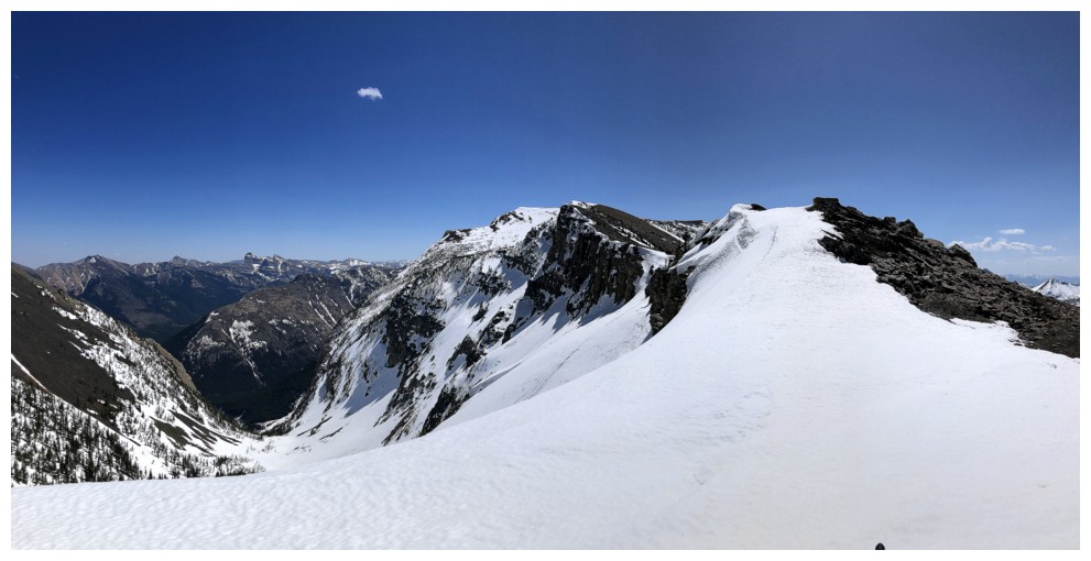
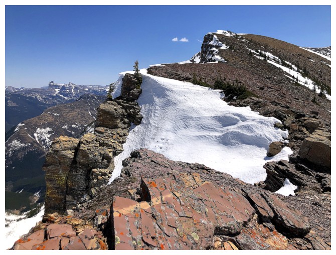
The Amoebet at the right and the route back onto the Barnaby ridge
Looking back to The Amoeba
...and forward to Barnaby
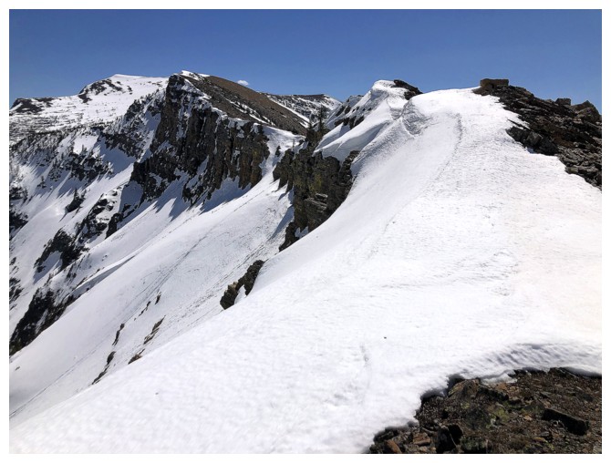
Now that The Amoebet is a thing, photographing it from different angles is also going to be a thing
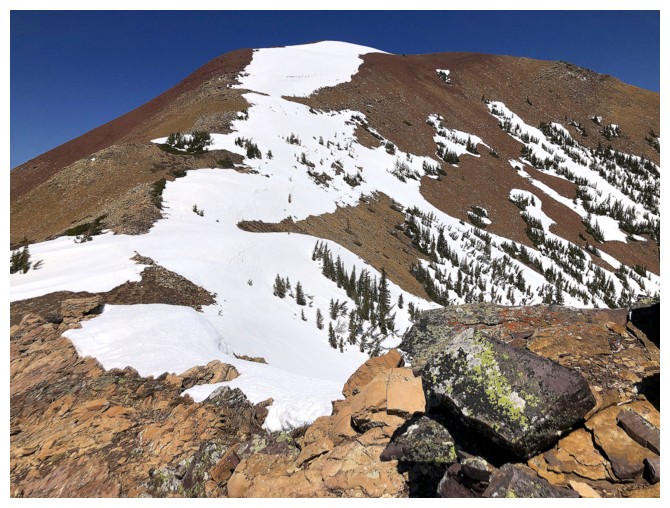
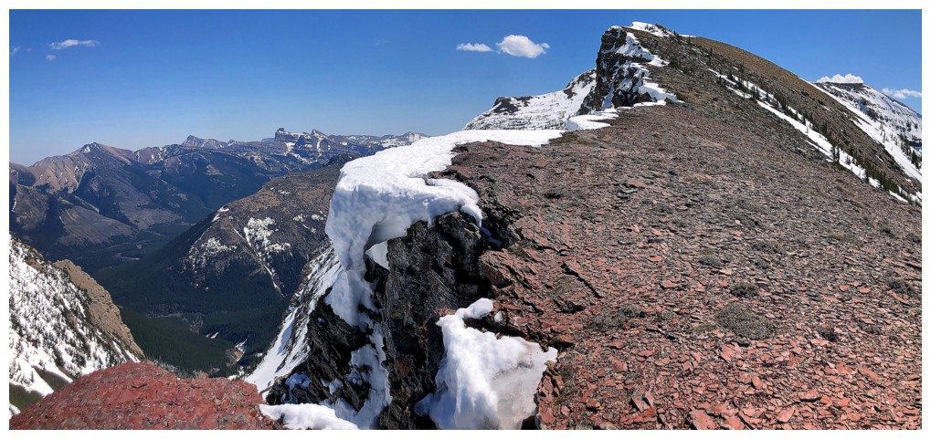
So is looking back to The Amoeba. The terrain between The Amoeba and
the summit of Barnaby is some of the most rewarding in the area.
And forward to BR (hopefully no confusion about that abbreviation)
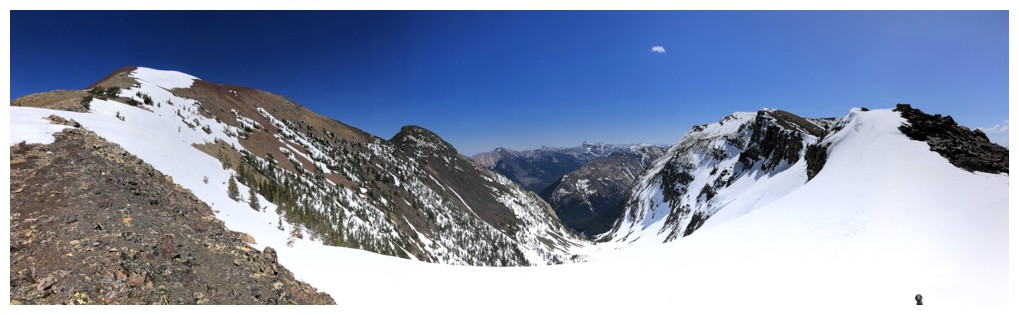
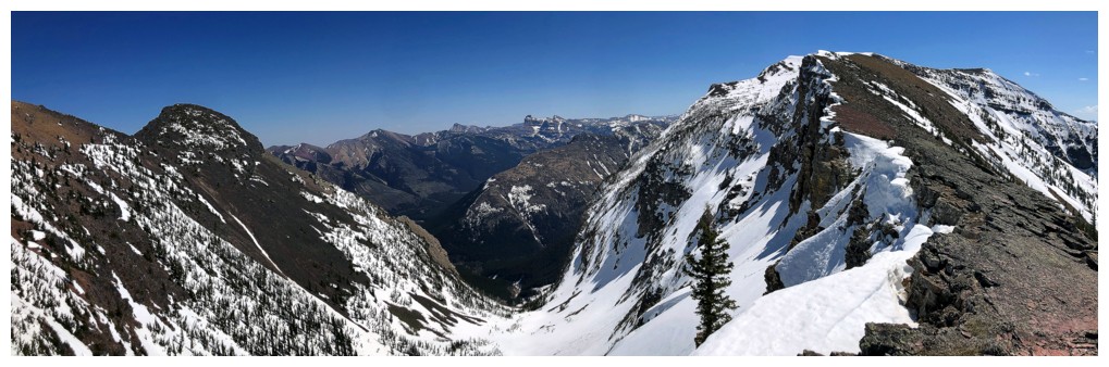
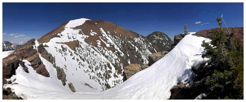
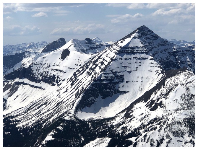
And, of course, the ever-popular all three summits in one pano
Just TA and TA
Just BR
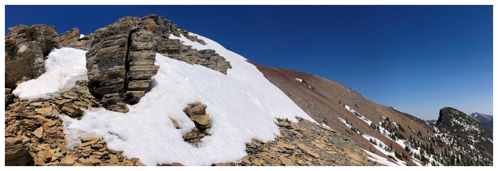
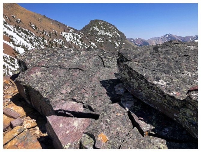
Travel throughout is varied and interesting
The overall colourful nature of The Amoeba becomes more evident the further you get away from it
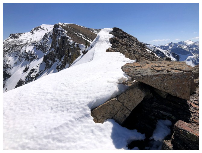
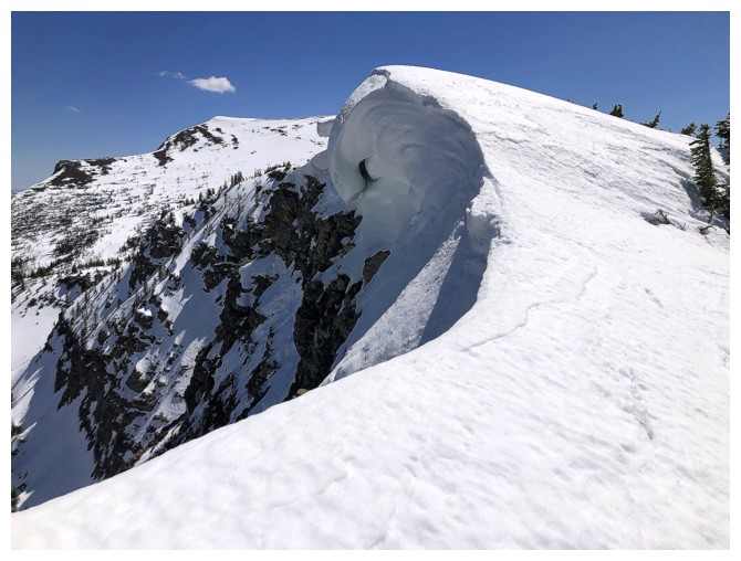
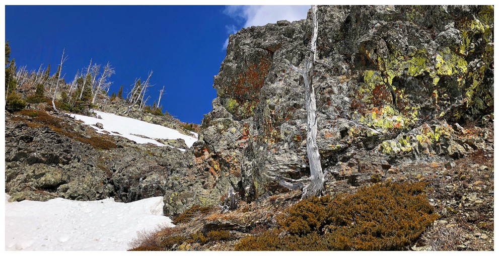
The Amoebet and sweet rock
One of my favourite views of The Amoeba
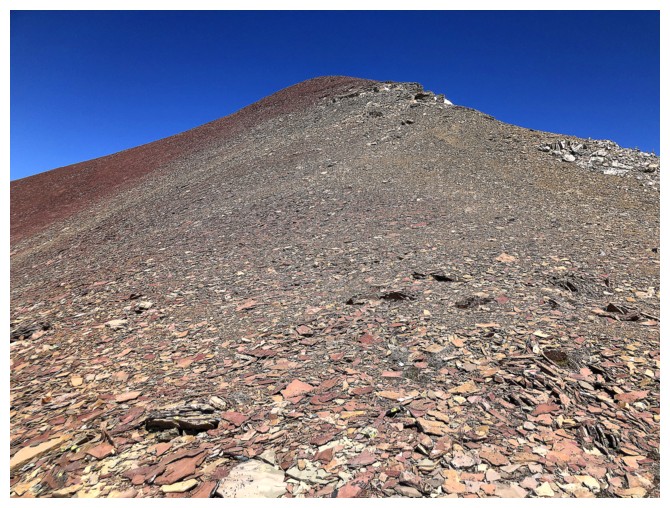
Blah, blah, blah for a while
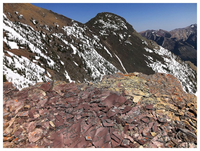
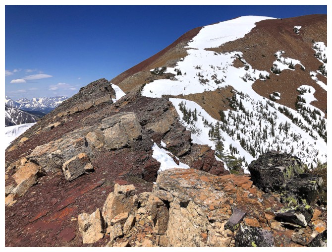

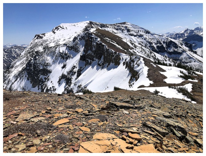
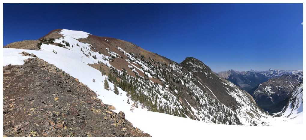
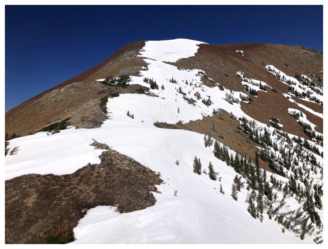
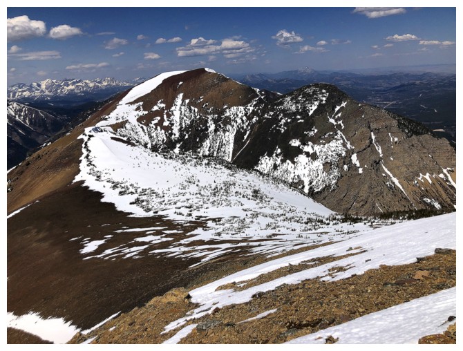
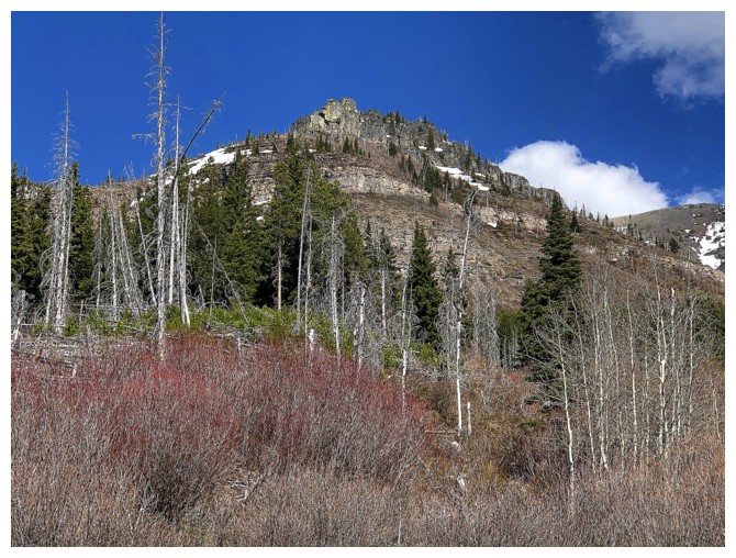
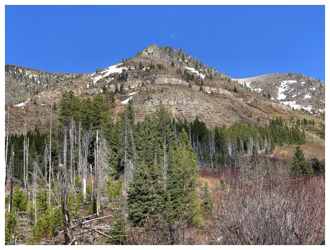
The bulk of Barnaby is revealed
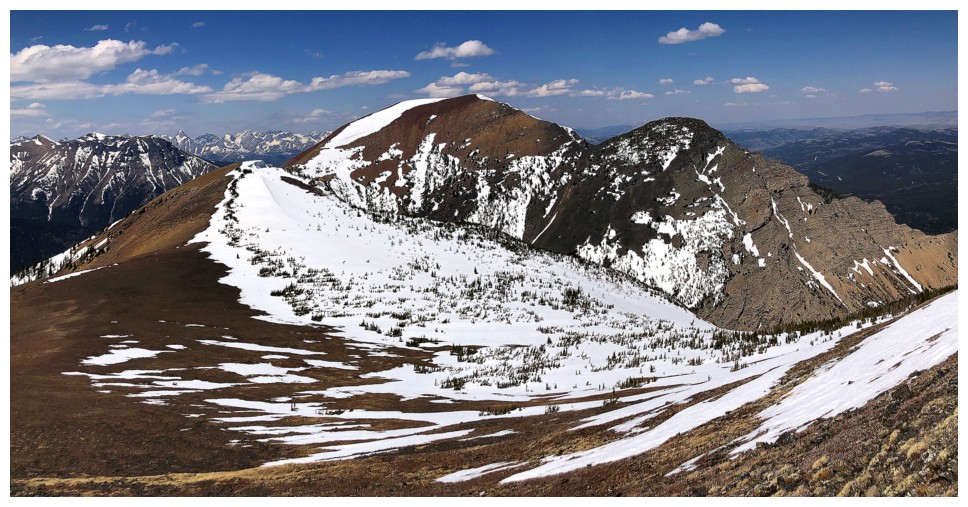
The TA's in their full glory
Finally the true colours of Table and Whistler Mountain (in front) are revealed
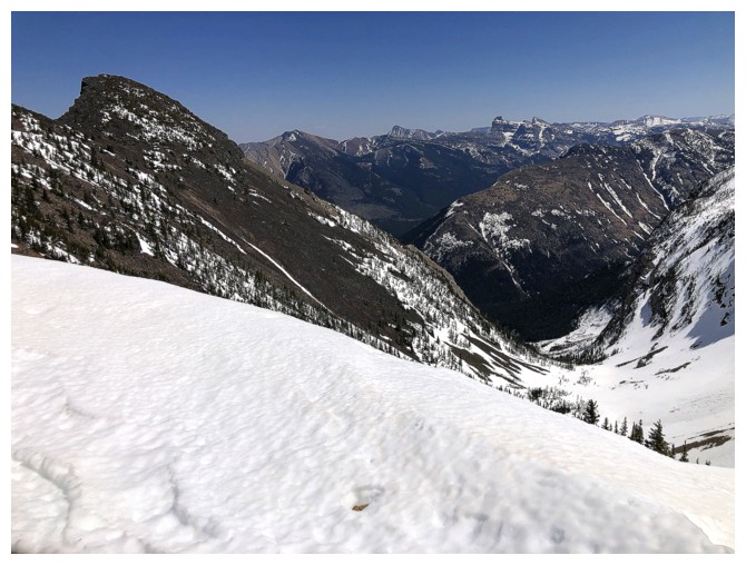
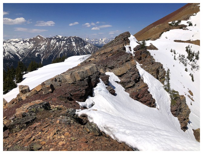
The east ridge of The Amoebet looks super cool and very intimidating - probably not a scramble
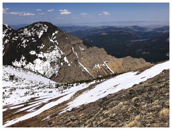
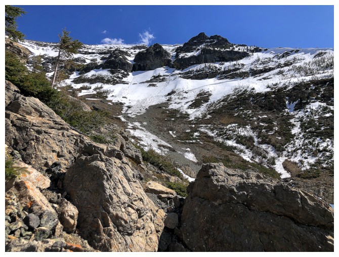
Passing by the drainage north of the summit. The idea of descending it
instead of retracing my steps was already firmly rooted in my brain at this point of the day.
Still fascinated with the MPMFAAOBR
And the TAs
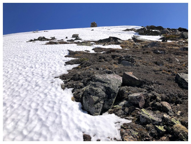
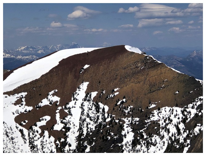
There's the summit cairn, and it's big!
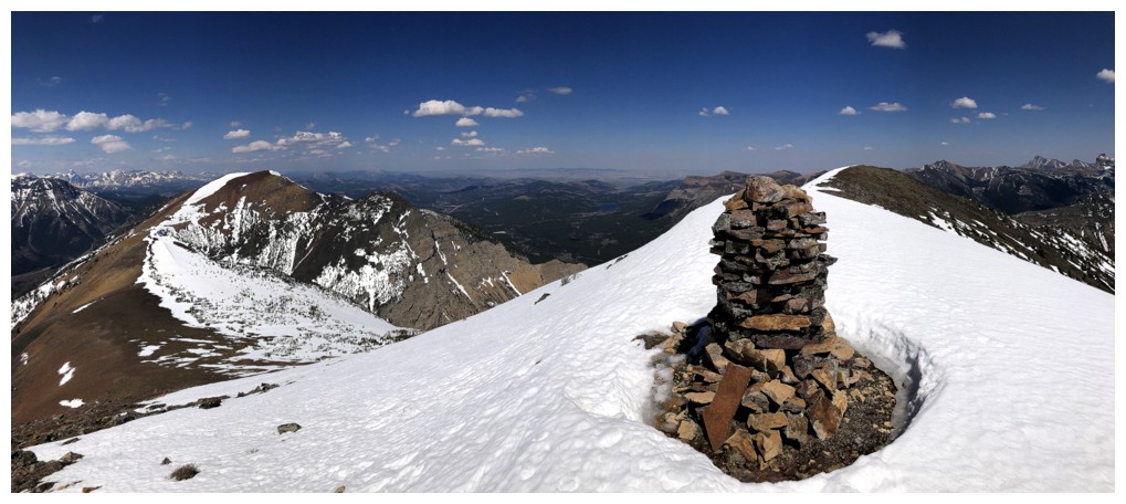
The very unofficial winner of the COTY Award. Congratulations Barnaby!
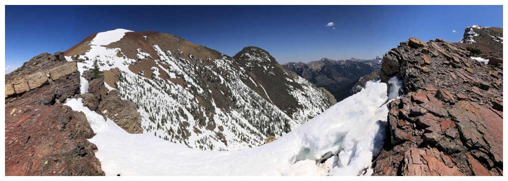
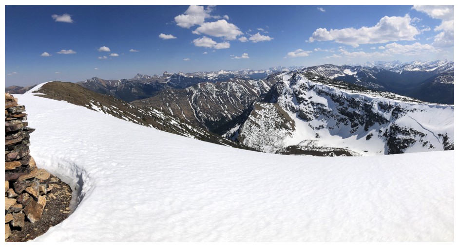
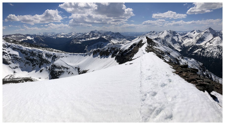
Summit panos
The slightly lower summit to the west was very tempting, but my energy levels were saying no
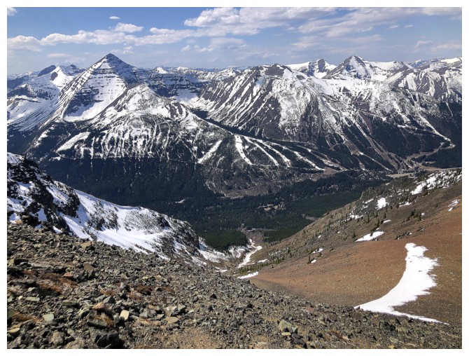
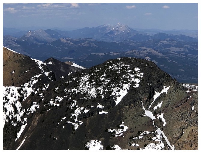
Lys Ridge (right) is a terrific, but very long day

Mount Miles and Krowicki Peak (left) have also provided several amazing experiences
Joining the MPMFAAOBR are Boot Hill and Tombstone Mountain to the left
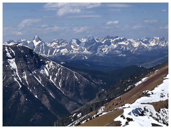
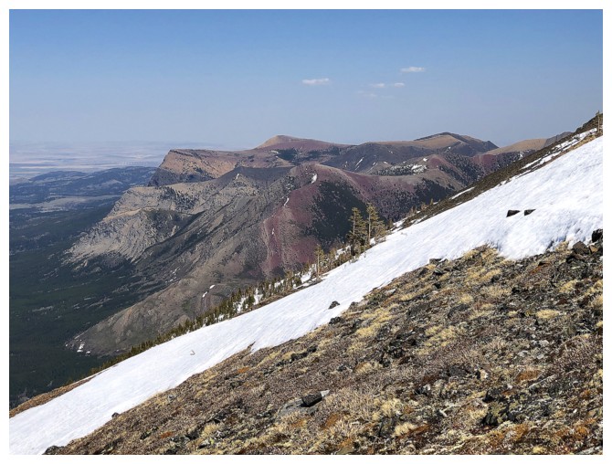
The distant and beautiful Flathead Range
Close-up of The Amoeba and much of the route to The Amoebet
Close-up of The Amoebet
Drooling over this potentially fast and easy descent route
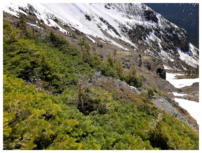
Good to see some green again
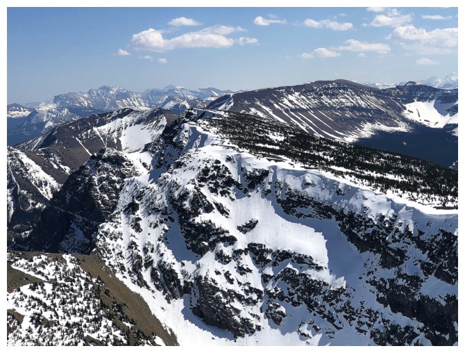
The crux of the descent was getting down the rock band at the left - the snow made it easier
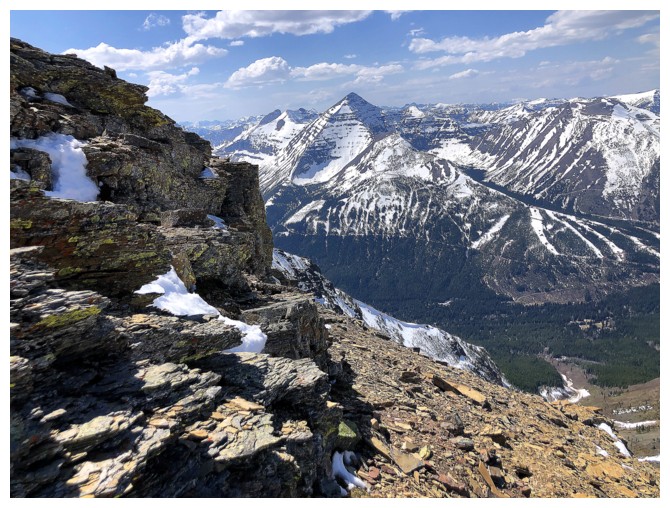
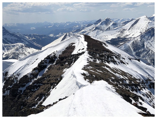
Several significant rock bands adorn the summit ridge of BR
The grade eases up lower down
Lots to look at still
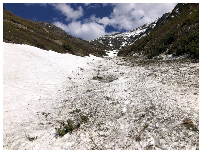
The drainage was filled with snow and avalanche debris. The firmness of the snow made for very easy travel.
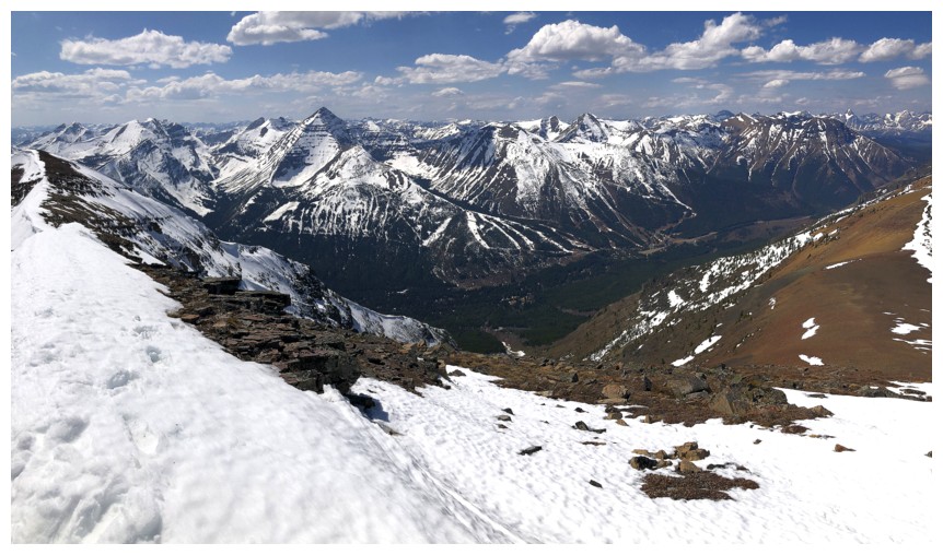
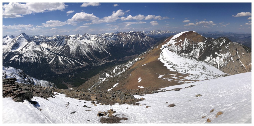
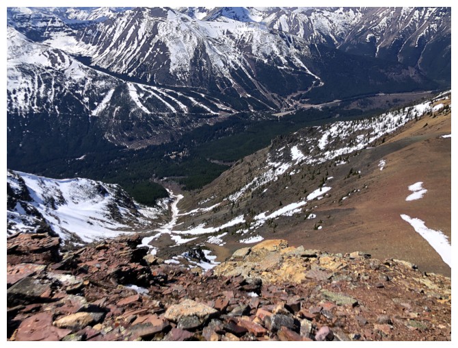
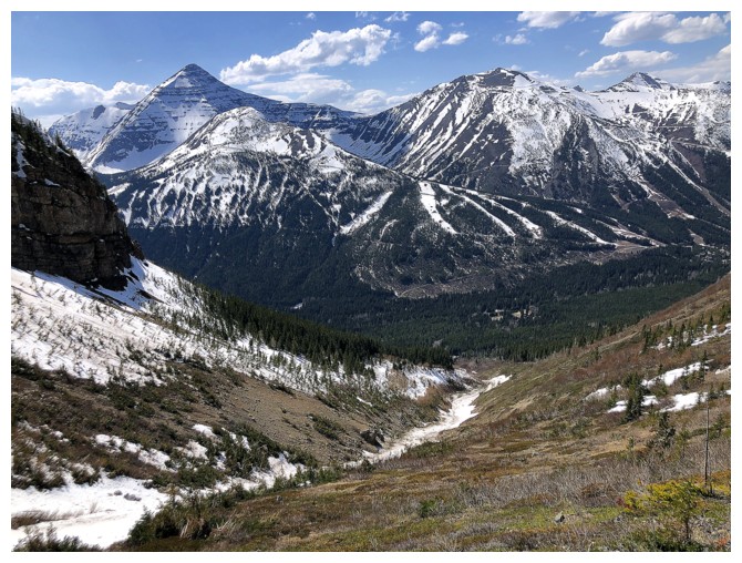
Gravenstafel Ridge and the Castle Mountain Ski Resort are constant companions
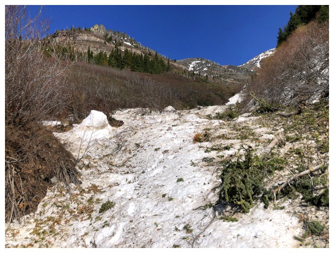
Tons of tree debris
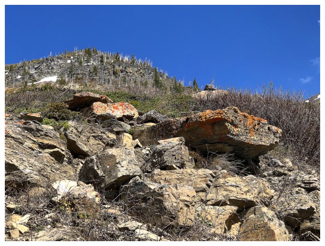
A nostalgic look at the rock band that lured Mark and I, 17 years earlier
Same as above

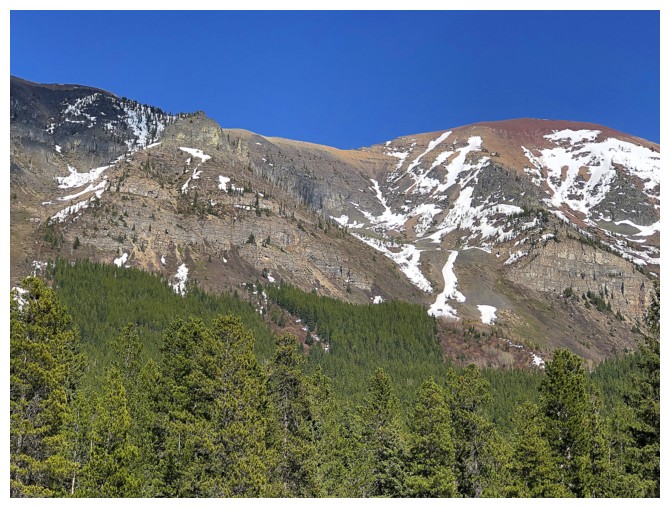
A more comprehensive view of Barnaby. The red peak near the left is The Amoeba.
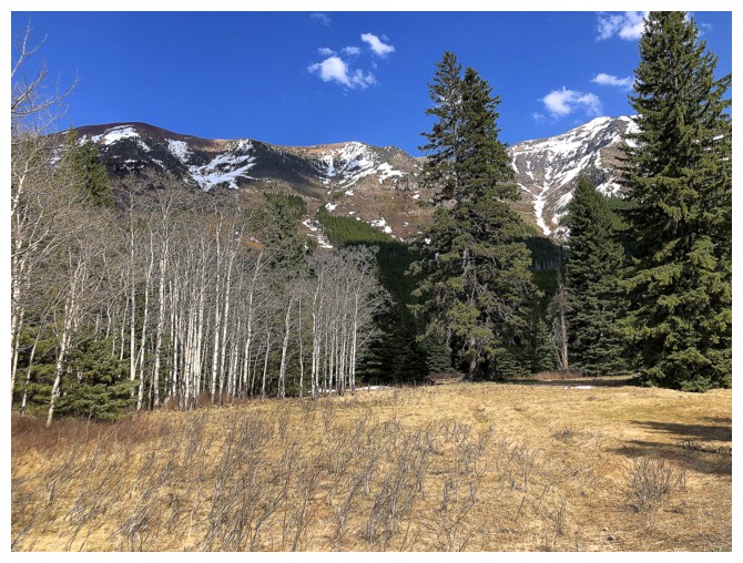
At the road and looking back up the descent route
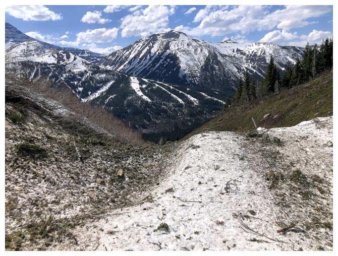
The route I took up 9 hours earlier is now visible: up the centre, over
to the left, up to the ridge, right, over and up to The Amoeba
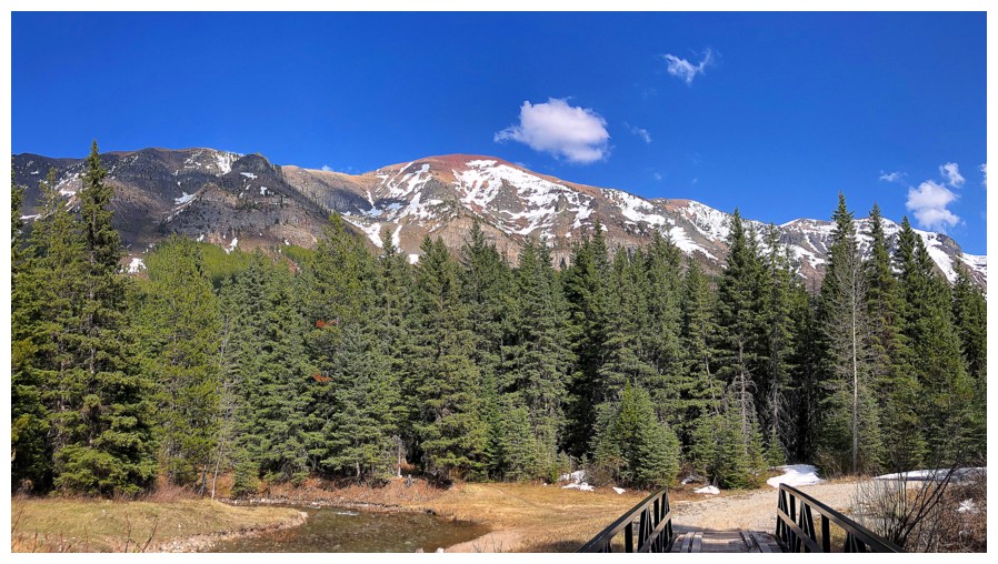
Back at the trailhead The Amoeba is front and centre
The End (finally!)
LOG