Whistler Mountain IV
September 1, 2019
Mountain height: 2214 m
Elevation gain: approximately
800 m
Solo scramble.
Over of years Whistler Mountain has asserted itself as one of my
favourite hikes/easy scrambles in the Castle area. A good trail takes any guess
work from the route up to the former lookout site, views are pleasant
throughout, and the trek from the lookout to Whistler Mountain and beyond is an
outstanding hike, with incredible rock scenery (if you are obsessed with red
argillite, that is!)
Nothing much to report here, except another thoroughly enjoyable day in
the beautiful Castle.
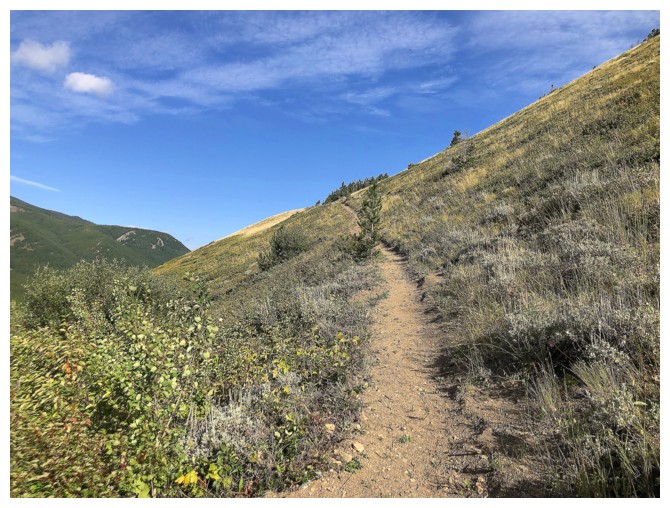
The pronounced trail
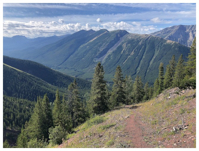
Very fond memories of Lys Ridge with Dave and Jollin
Same goes for Barnaby Ridge
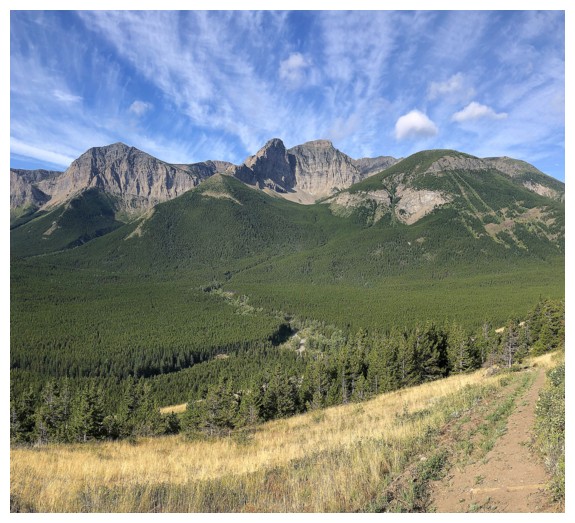
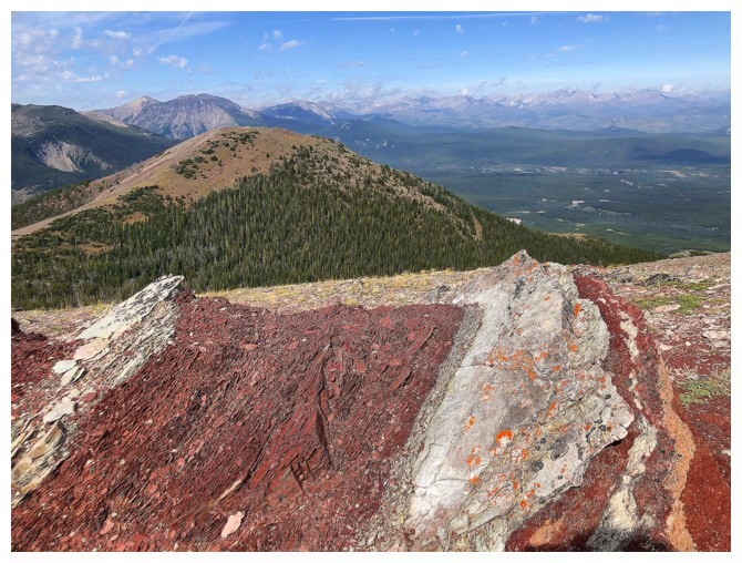
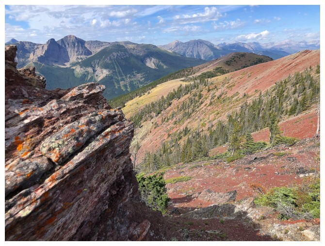
Looks like a red argillite trail!
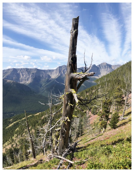
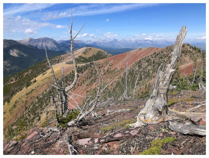
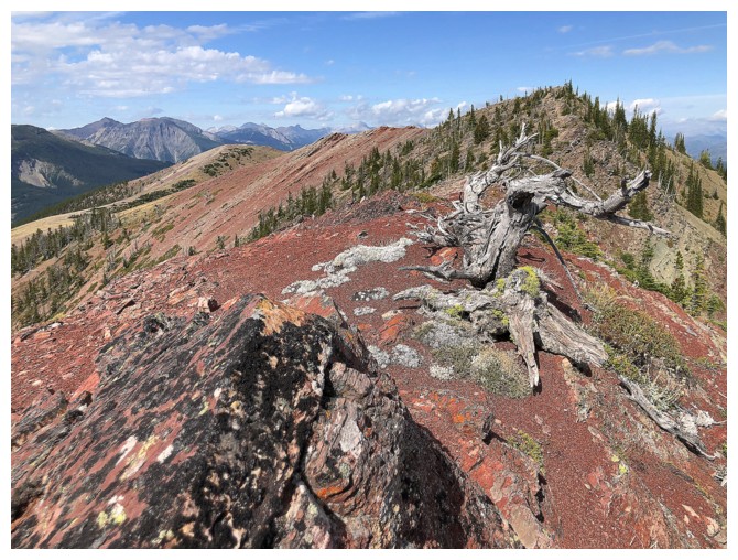
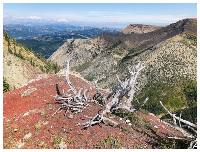
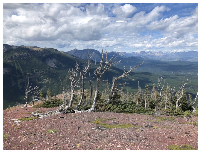
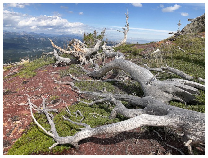
Impossible to hike this trail without stopping to gawk at the dead trees.....
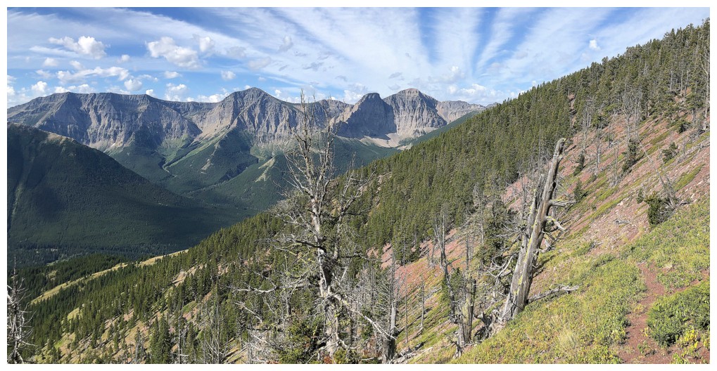
....and the terrific vistas.....
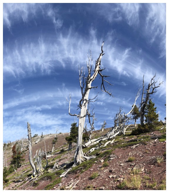
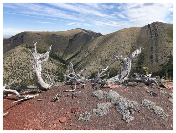
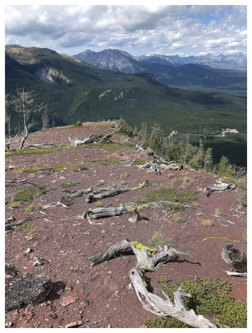
....and more dead trees
Bypassed the lookout on ascent and went straight towards the summit of Whistler Mountain
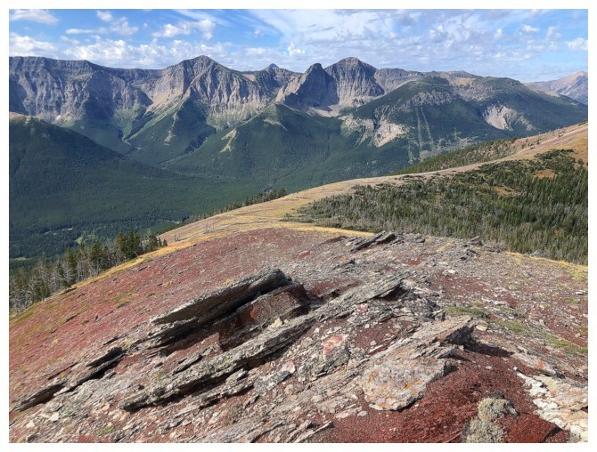
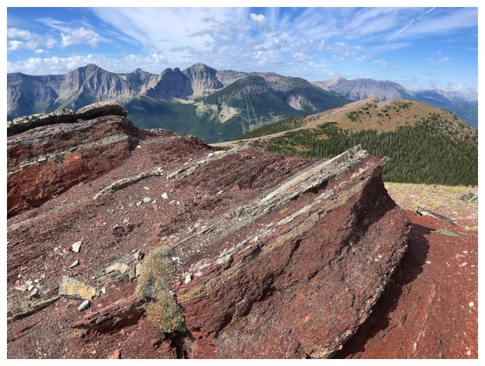
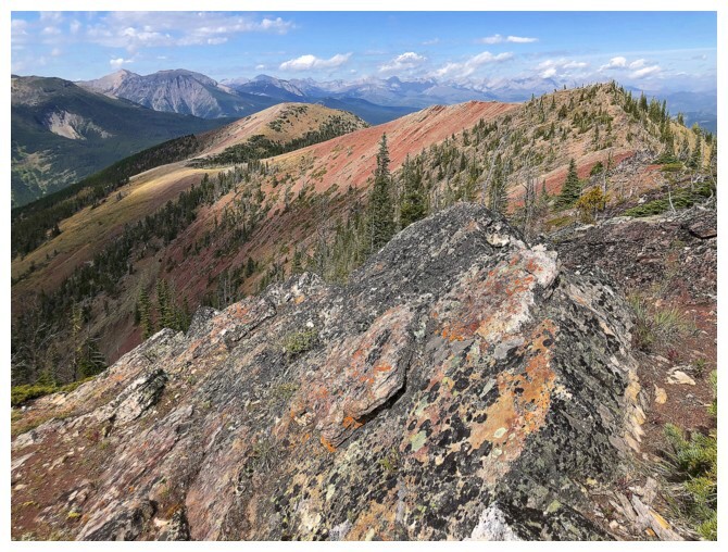
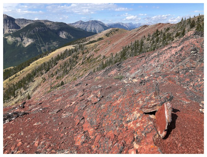
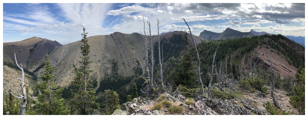
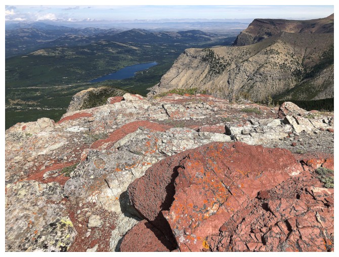
Not the summit of Whistler, but one of the best viewpoints of the day and tons of red argillite
Looking northeast to Table Top Peak
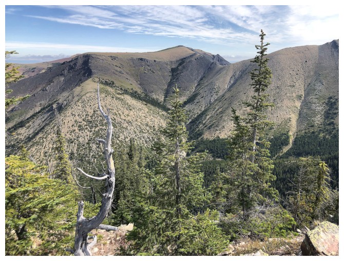
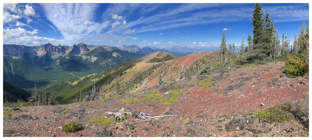
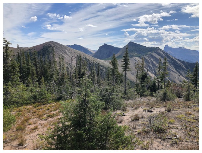
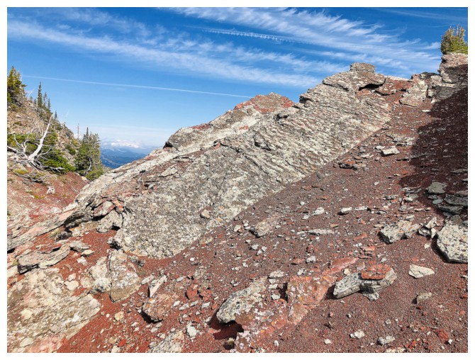
The ridge ahead that goes to the summit doesn't appear to be anything special, as seen from the first highpoint
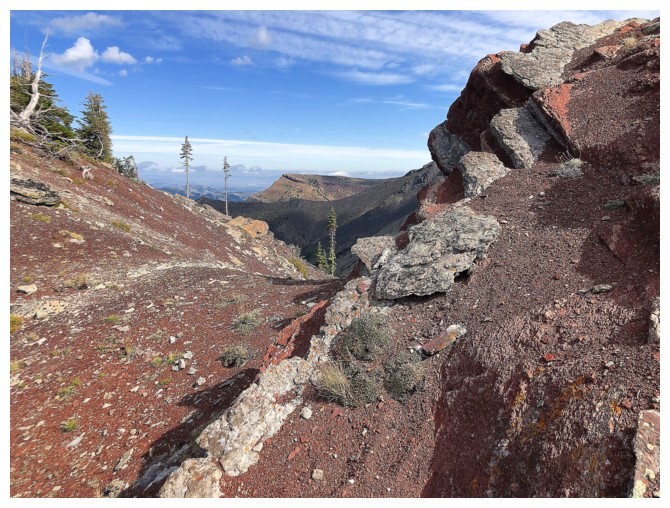
Looking through a gap to the western edge of Table Mountain
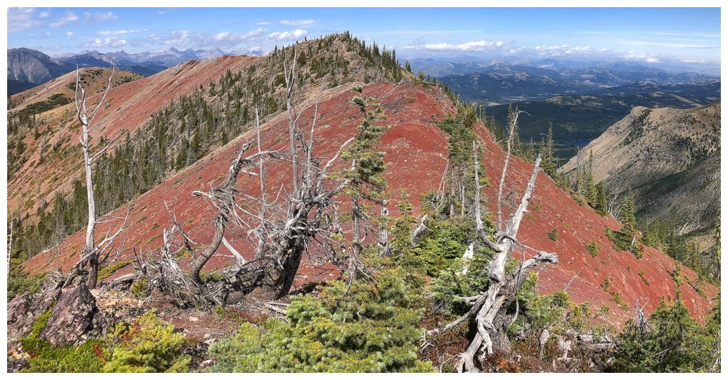
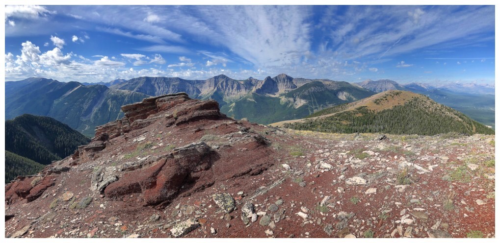
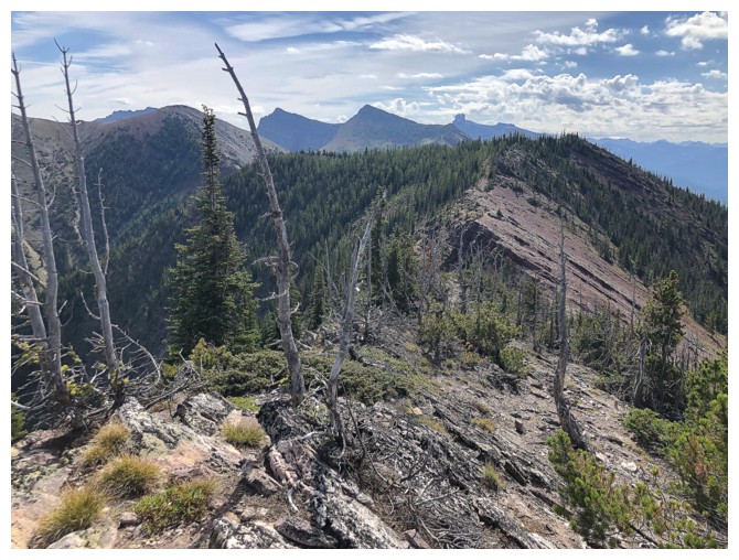
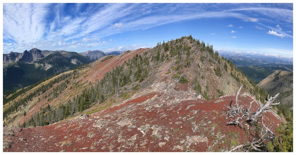
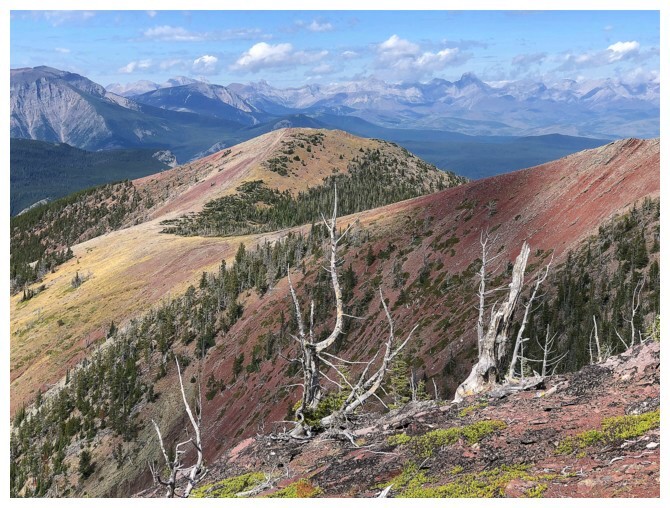
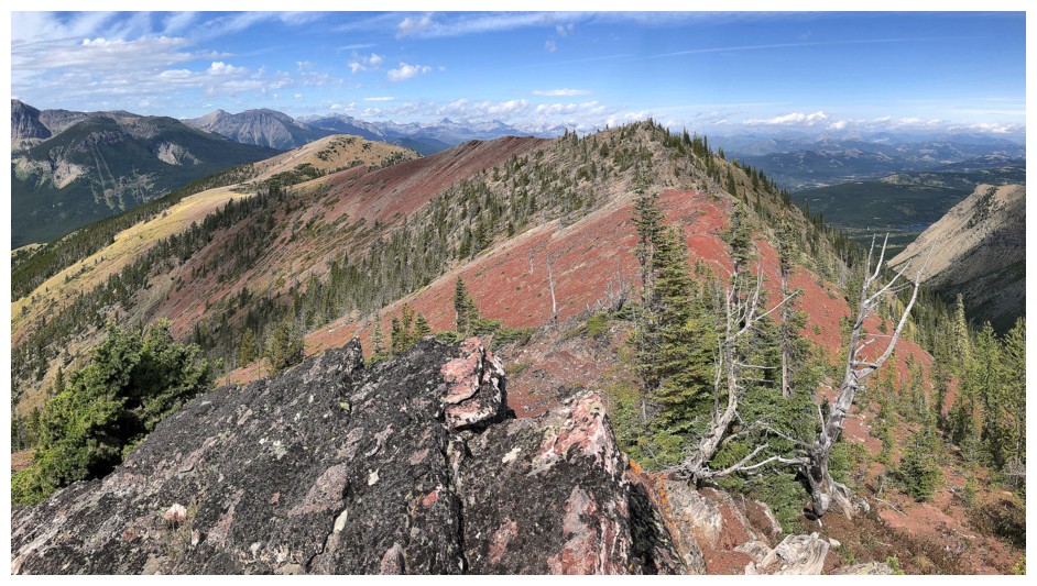
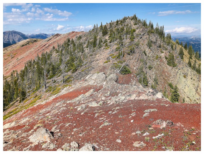
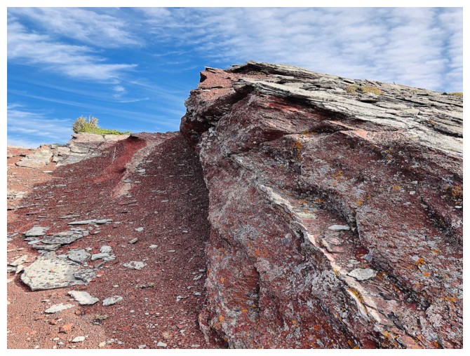
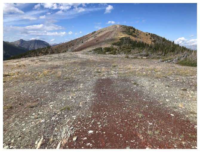
Here comes the highlight of day - the red ridge between the highpoint and the disappointingly treed summit
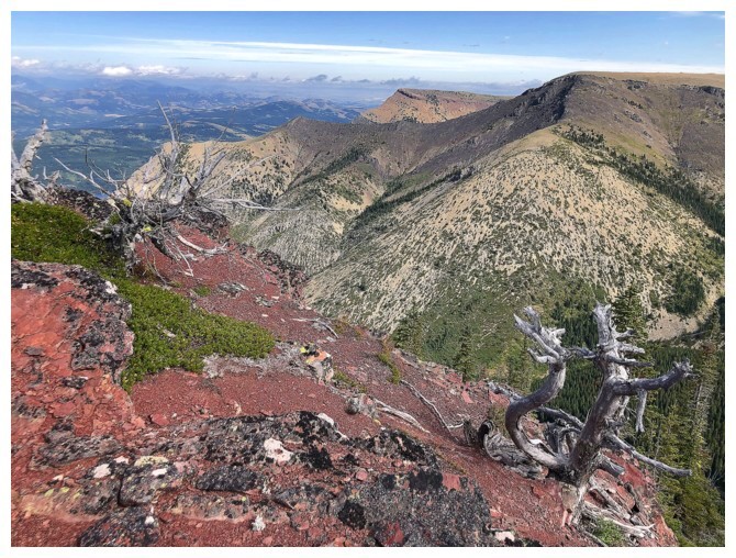
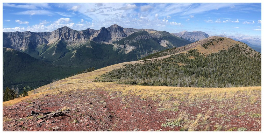
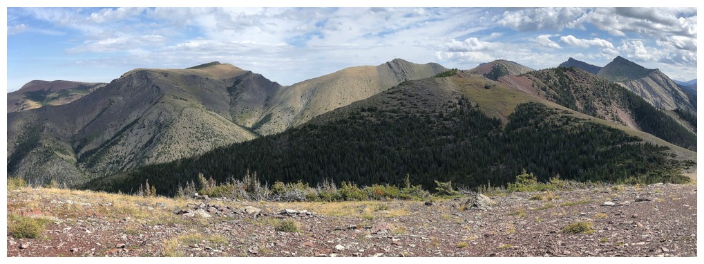
At the summit, with Gladstone, Frankie Peak, Larry Mountain and Castle Peak making their appearances
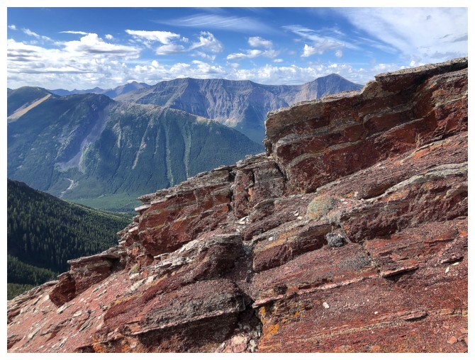
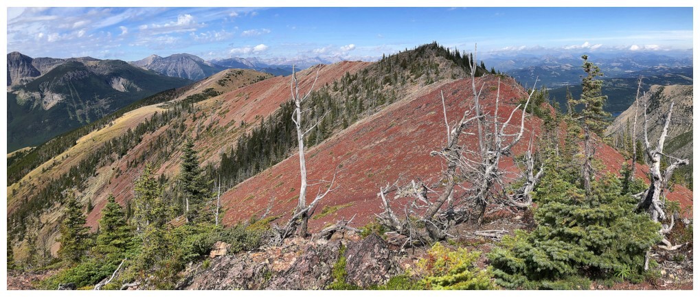
Heading back and still enthralled by the ridge
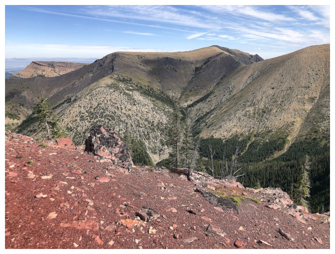
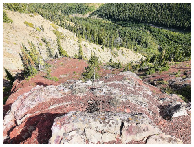
Looking down into the valley to the north
Back at the first highpoint
Heading to the former lookout
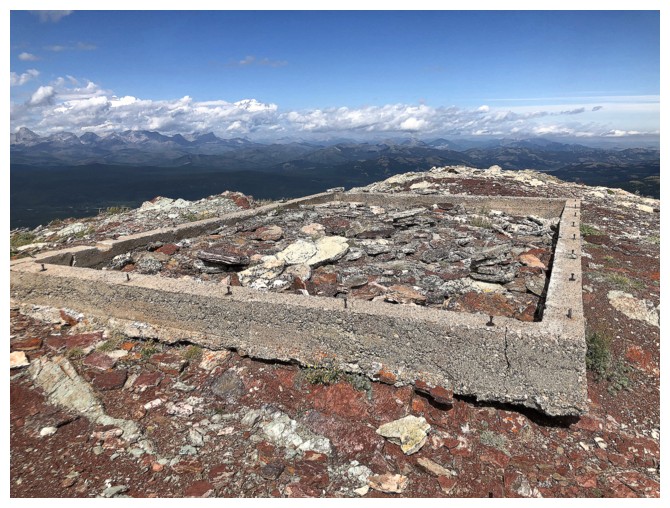
The mandatory photo of the remains of the lookout
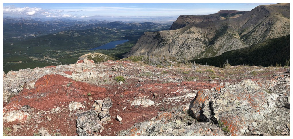
Beaver Mines Lake and Table Mountain
All of the peaks to the northeast, east and southeast are accessible from Whistler Mountain
Took a bit of a detour on descent to check to the west ridge
There was some very cool scenery, but I opted to traverse back to the trail shortly after this section
The End