Bovin Lake and beyond
August 23, 2017
 Mountain
height: 2350 m
Mountain
height: 2350 m
Elevation gain: 1050 m
Ascent
time: 3:30
Descent
time: 2:20
Solo bike,
hike and scramble.
Except
for the smoky skies this was a wonderful trip, with a surprising and super enjoyable
scramble above Bovin Lake.
 I did
choose to take a bike for the approach to Bovin Lake, but ended up pushing it for
a big chunk of that distance. The Bovin Lake trail is steep, rocky and not
ideal on ascent for those of us who are “mountain bike challenged” …..and I am
their King!
I did
choose to take a bike for the approach to Bovin Lake, but ended up pushing it for
a big chunk of that distance. The Bovin Lake trail is steep, rocky and not
ideal on ascent for those of us who are “mountain bike challenged” …..and I am
their King!
After
enjoying a quick look at the lake from its shores, I returned a short distance
along the trail and then took another and very obvious trail that goes up to
the col between Loaf Mountain and the highpoint above the lake. The hike from the col to the
summit would be the only part of the trip that was new to me. I had visited the
summit of the highpoint back in 2009,
during an awesome trip with Amber, Scott and Janina, but approached it from
Drywood Mountain on that occasion.
From the
col, the ridgewalk/scramble up and over the highpoint was fantastic; terrific
terrain underfoot and great views all directions. Completing the loop, I then
descended down to the other side of Bovin Lake. In retrospect, this route is
probably best done in the reverse direction – more difficult up and easy down.
The bike
ride out was generally pretty good except for one decent wipeout, right in
front of a poor hiker who probably thought I’d just killed myself!
Minus the forest smoke and bike wipeout, a sweet day out!
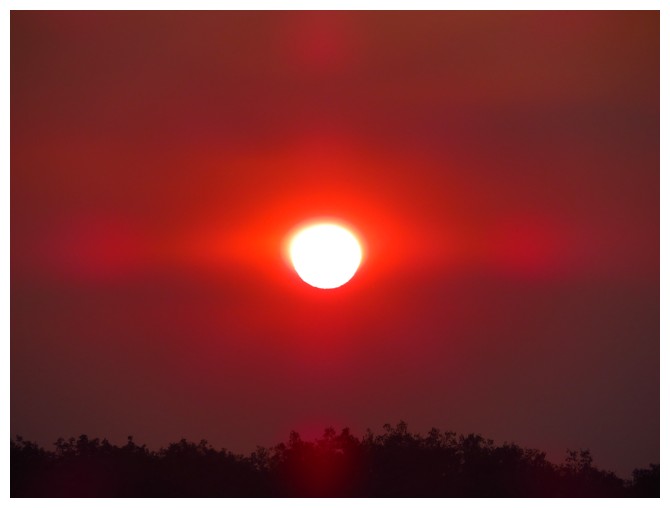
Nice red Sun, but not a good sign as far as smoke levels go
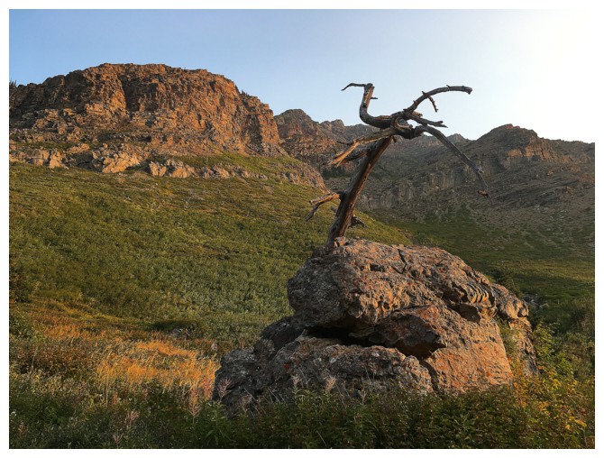
The old, dead tree is still standing
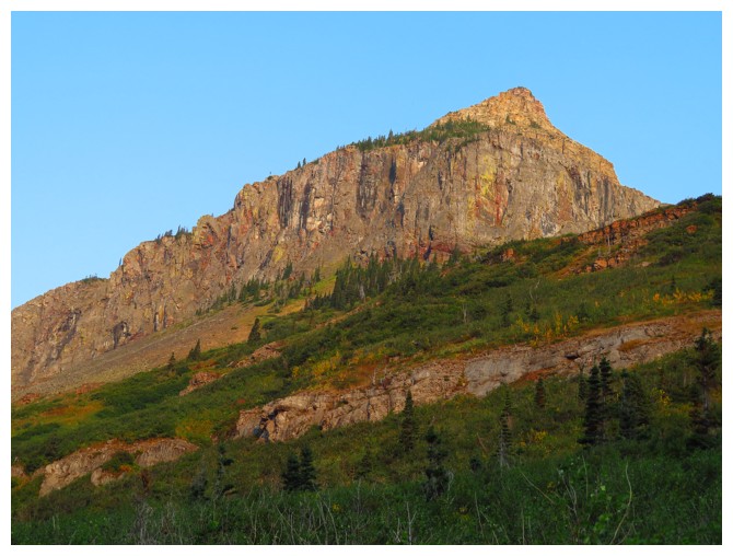
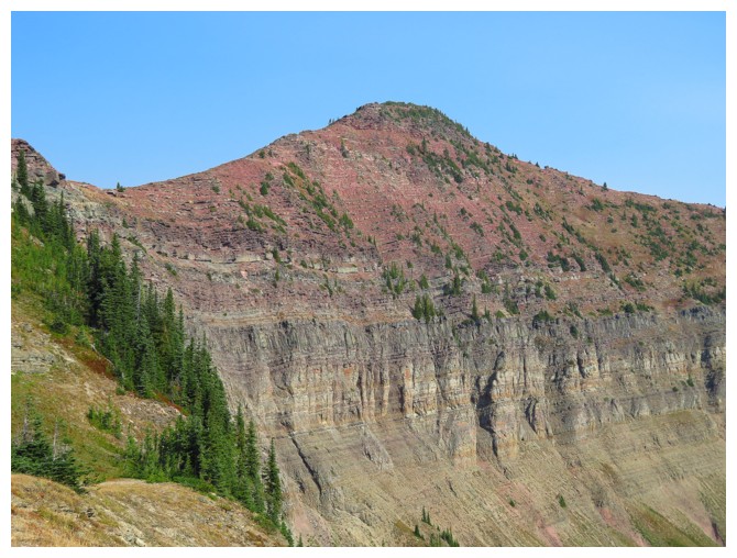
An outlier of Drywood
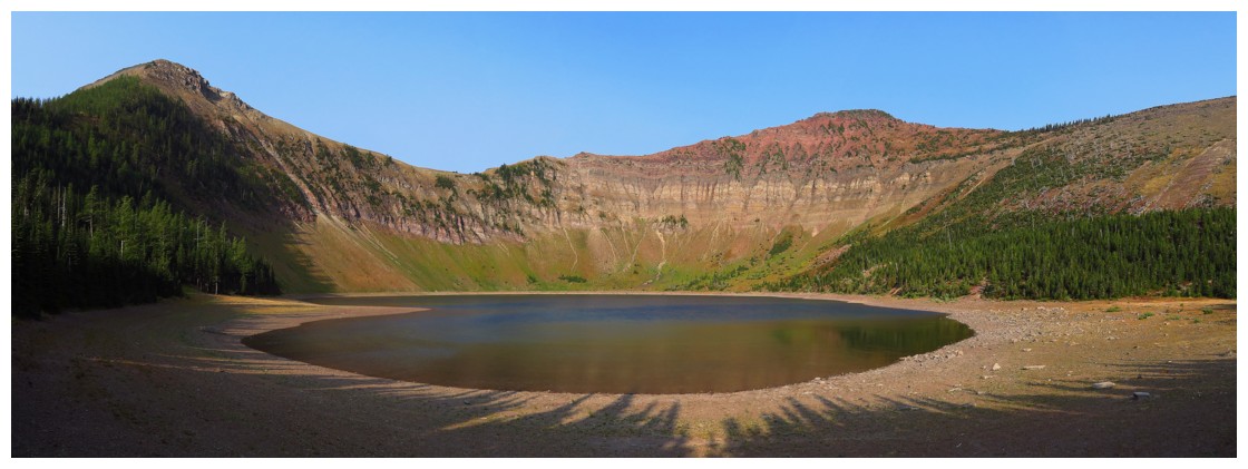
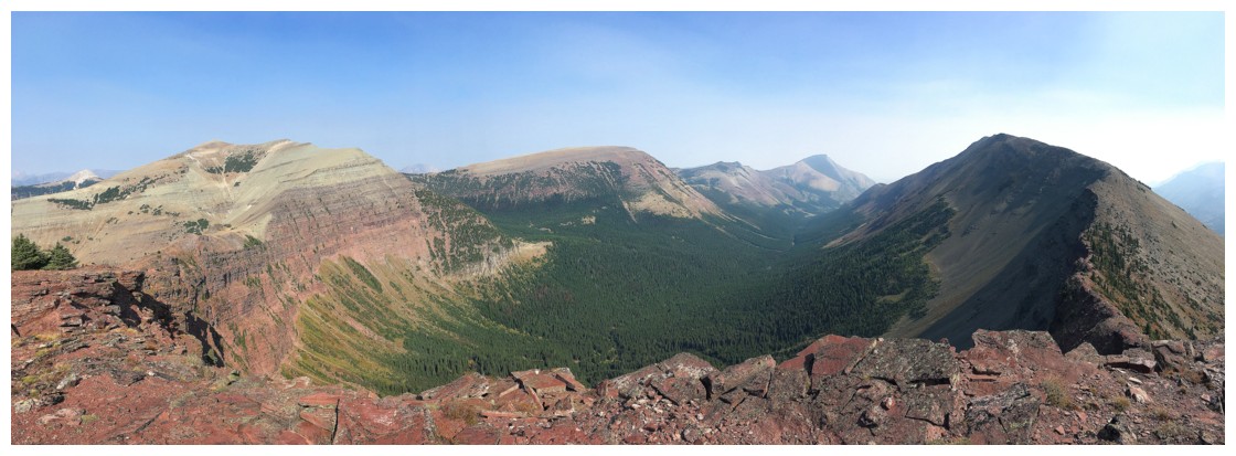
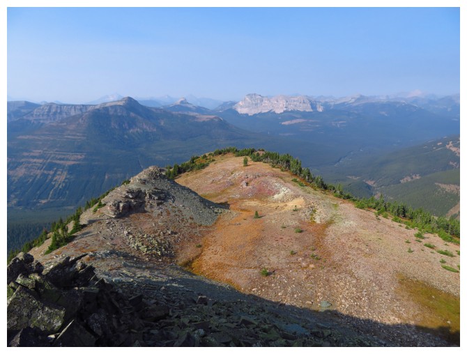
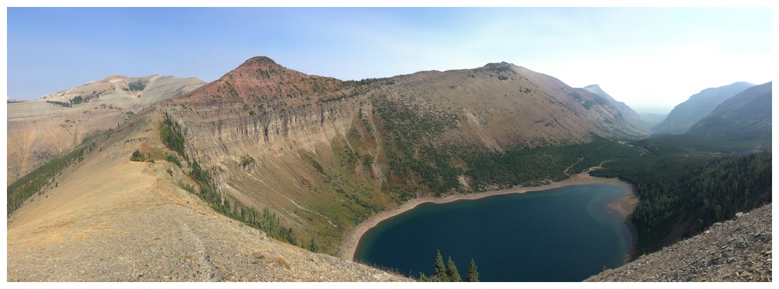
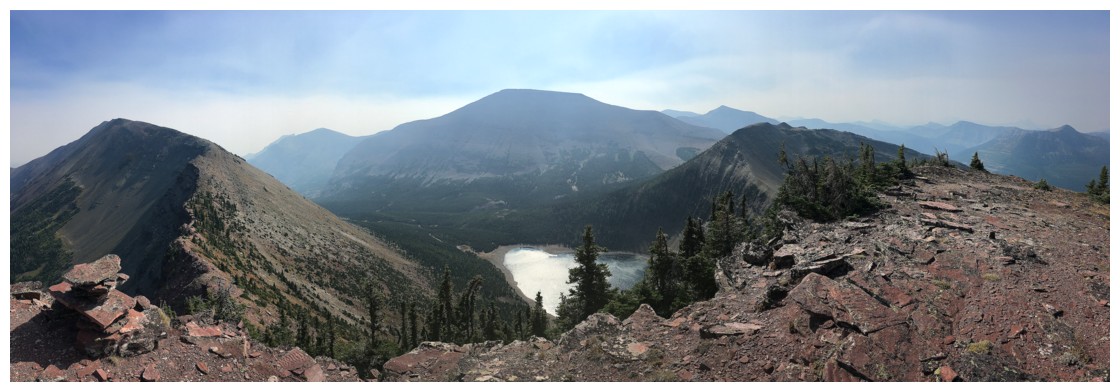
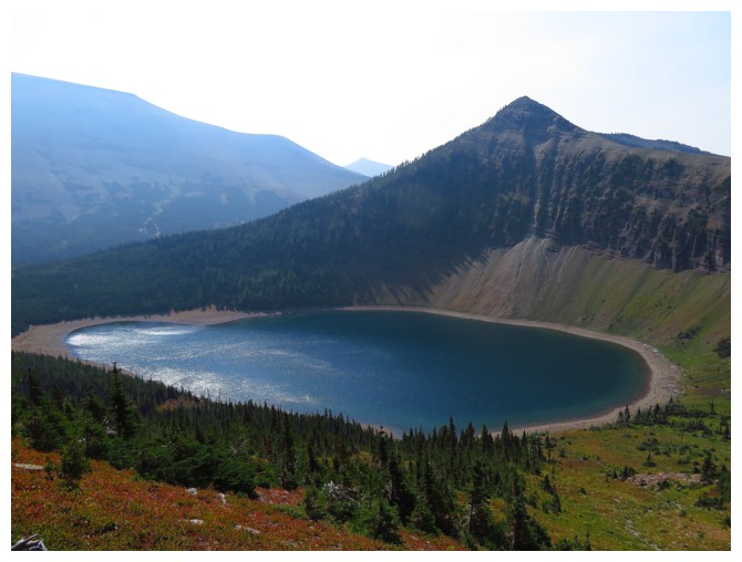
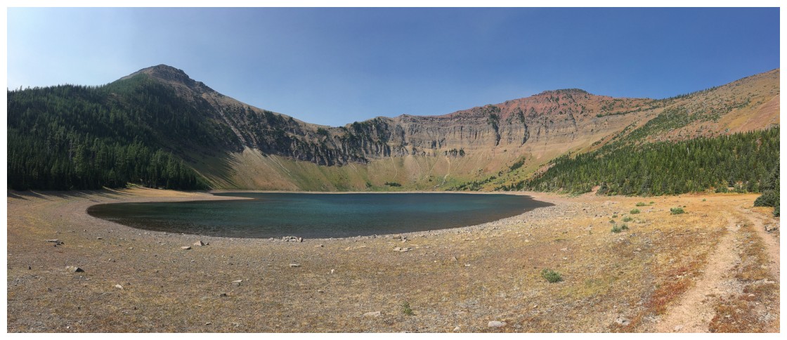
Bovin Lake and the two summits of the loop route
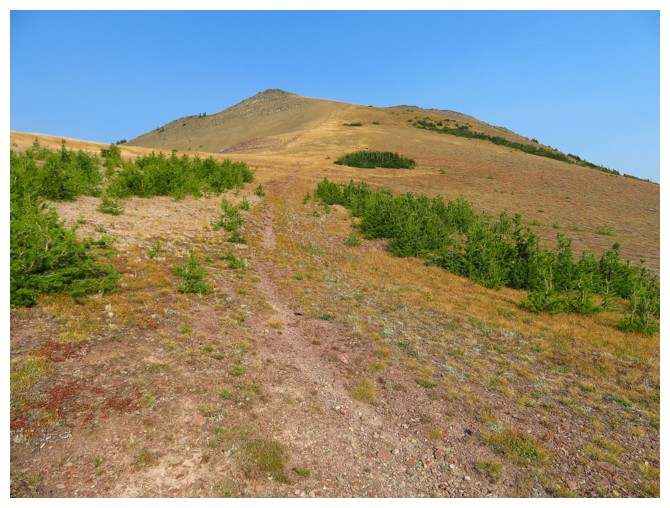
At the col, looking up the easy route to the first summit
Mount Matkin lies to the southwest
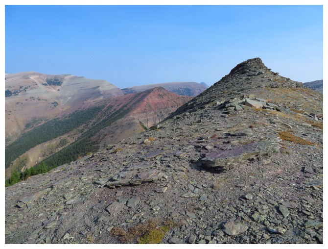
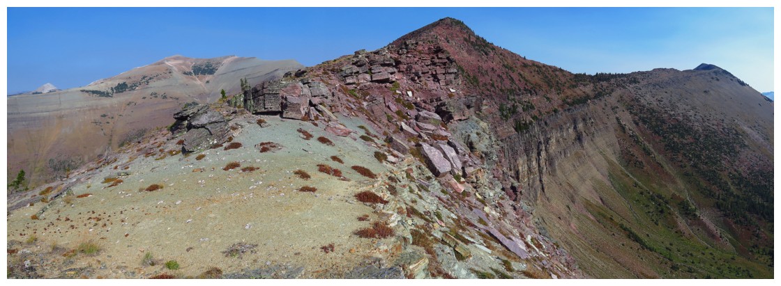
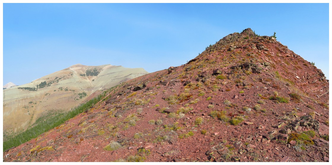
Approaching the first summit
At summit 1, looking to summit 2
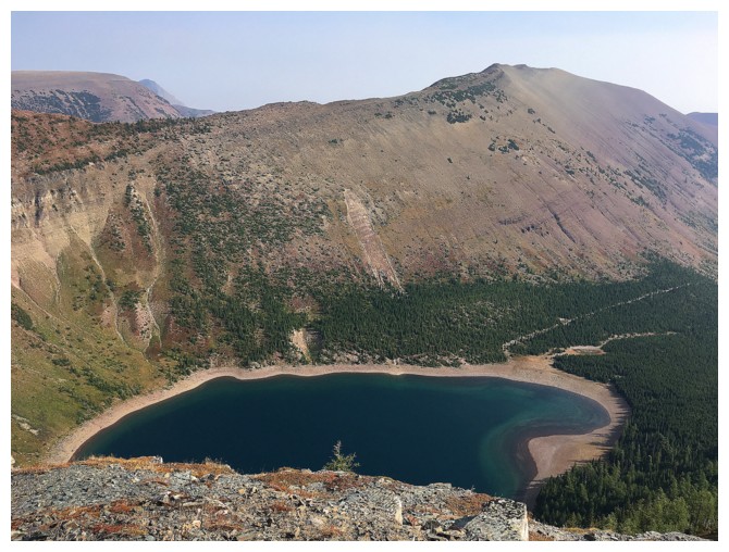
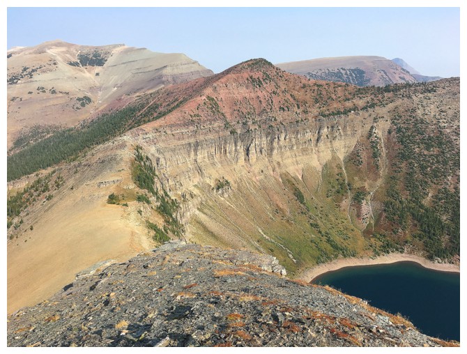
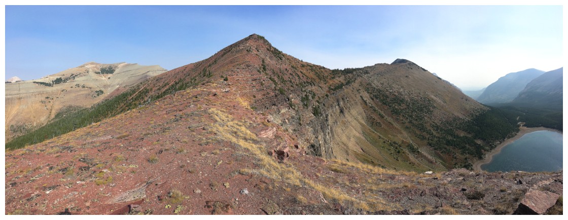
Bovin Lake and the west summit of Drywood Mountain
Approaching the true summit
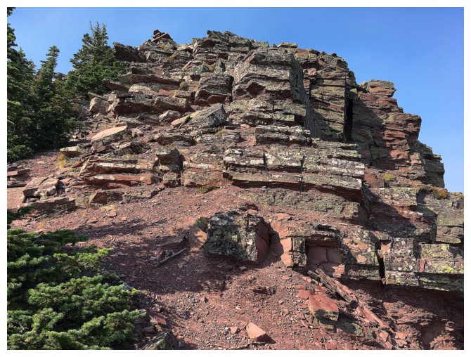
It's a red argillite summit!!
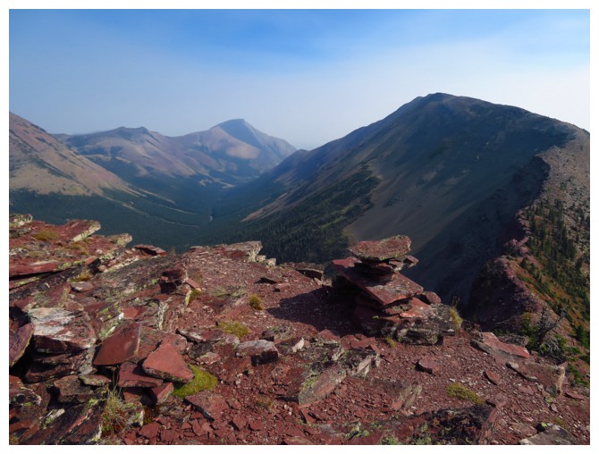
The summit of Victoria Ridge to the left
At the summit, with Victoria Ridge looking mighty tempting!
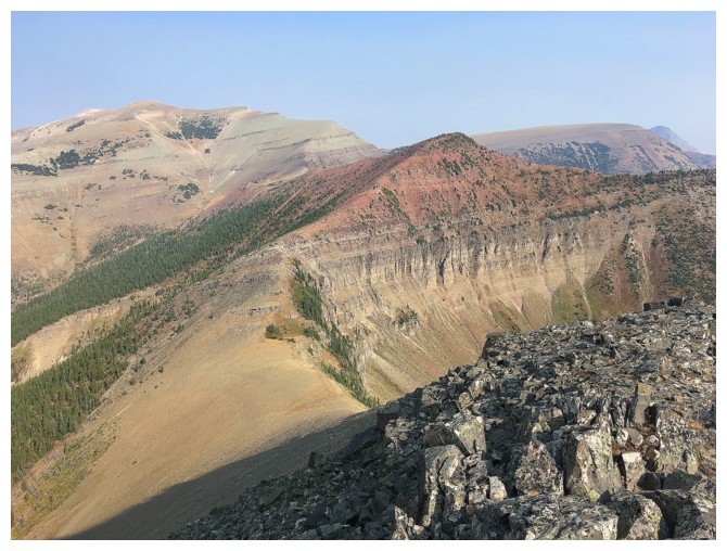
Pincher Ridge (left) and west Drywood
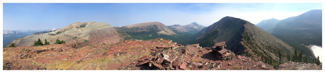
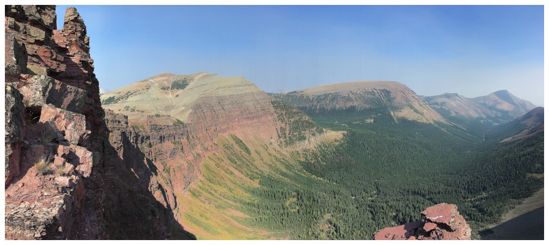
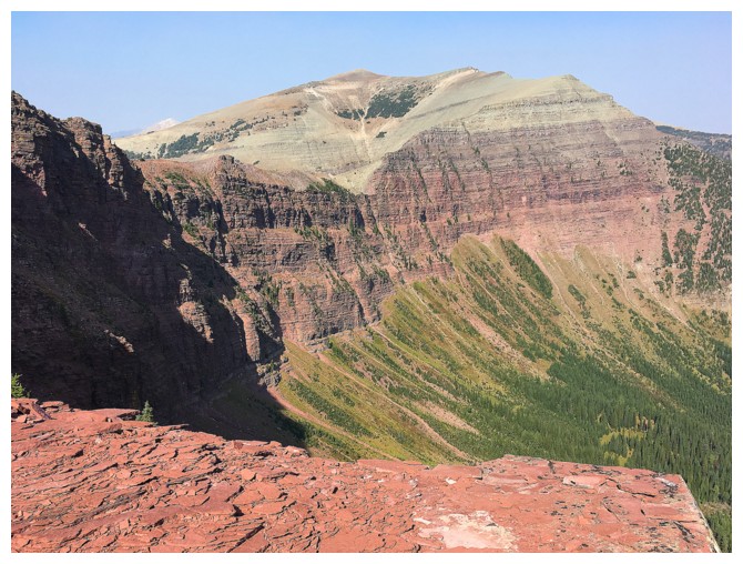
A more comprehensive summit view
Loaf Mountain (centre) is also within striking distance
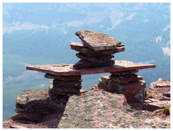
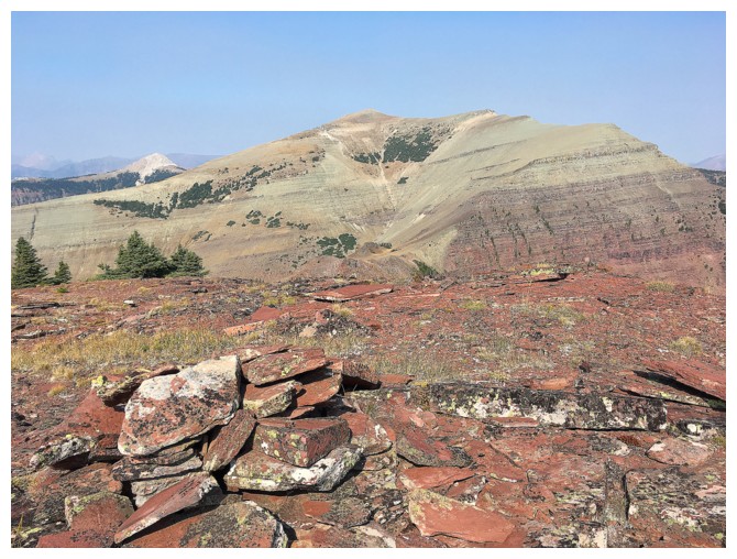
Nice summit cairn!

Victoria Ridge again. The peak to the right is the south peak of Pincher Ridge
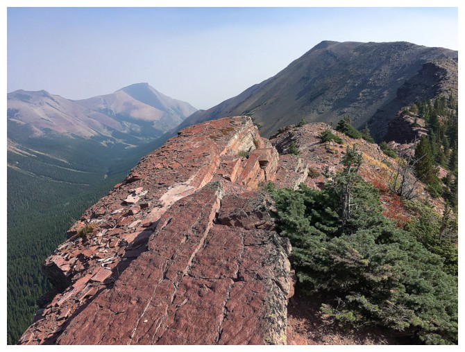
Looking back at the summit. Nice scrambling!
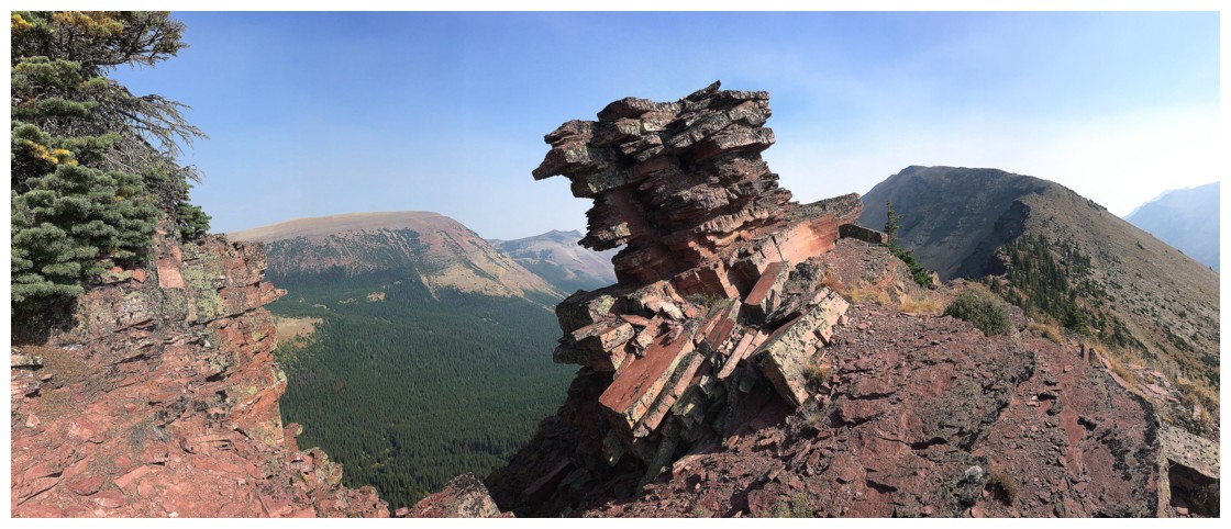
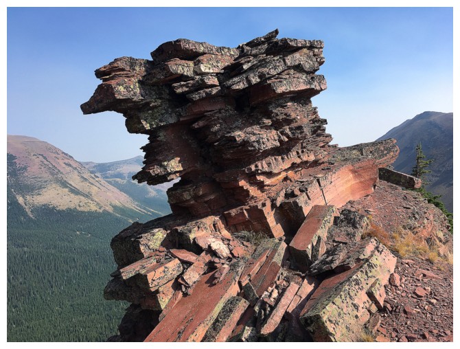
This crazy, cool outcrop of rock looked as though it was barely hanging onto the mountain and could topple at any second
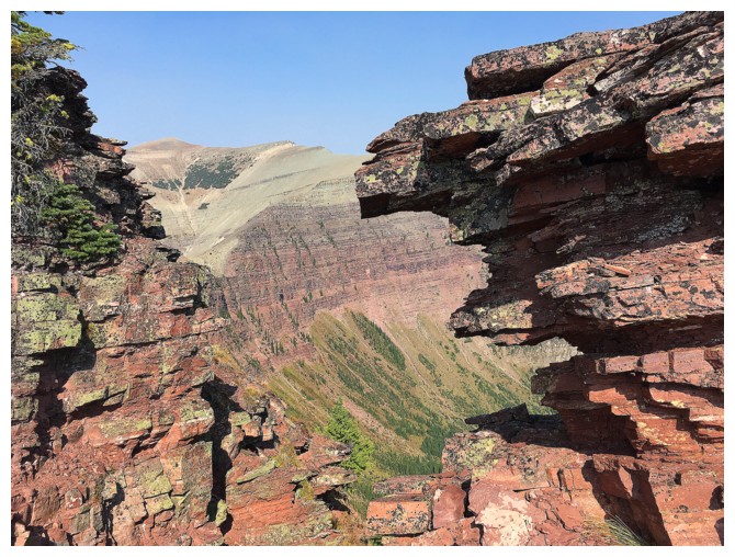
So much beautiful red argillite!
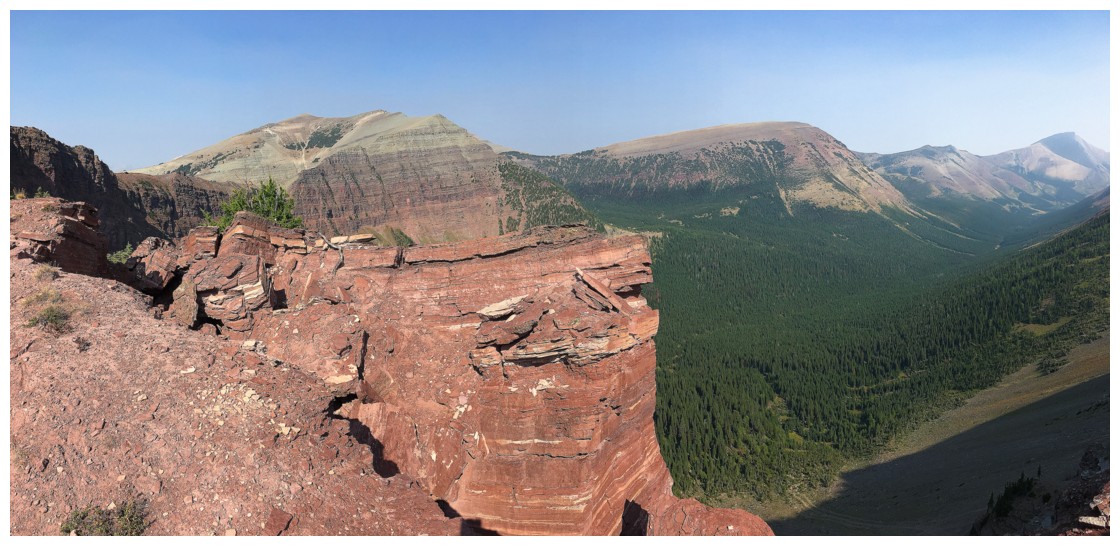
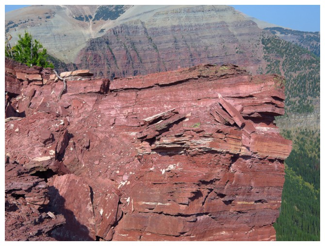
Just in case I have been ambiguous over the years about this rock - I love red argillitte!
Heading back down to the lake
Last look
The End