Mount Chesmill
July 10, 2024
Mountain height: 2834 m
Total elevation gain: 1000
m
Ascent time: 3:20
Descent time: 2:00
Solo scramble.
In a tour de
force of blunders and terrible navigation, Mark and I inadvertently ended up on
the western outlier of Mount Chesmill many years ago but didn’t continue to the
summit. Since then, the unofficial peak has gained a measure of popularity, courtesy of Soistheman, and also
a place on my “if I can’t think of anything else to do” list. On July 10, 2024,
I couldn’t think of anything else to do and therefore Mount Chesmill was put on
the docket.
Starting from
the Sawmill parking lot, I biked the approach and then bushwhacked down to
James Walker Creek. A huge tree spanning the waterway allowed me to keep my
feet dry when confronted with the creek crossing. From the other side I
decided that gaining the south ridge of the outlier as early as possible would
be the best strategy for tackling the peak. The other route, via a steep drainage
east of the ridge appeared to be holding a fair amount of snow that could make
for a problematic ascent.
Though much
steeper than I remembered, this route worked very well, featuring beautiful
grassy slopes, some wildflowers, and lots of grizzly diggings! Only the
slightly hazy skies were a little disappointing. The terrain from the summit of
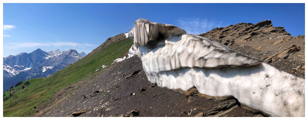
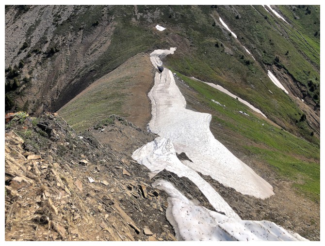
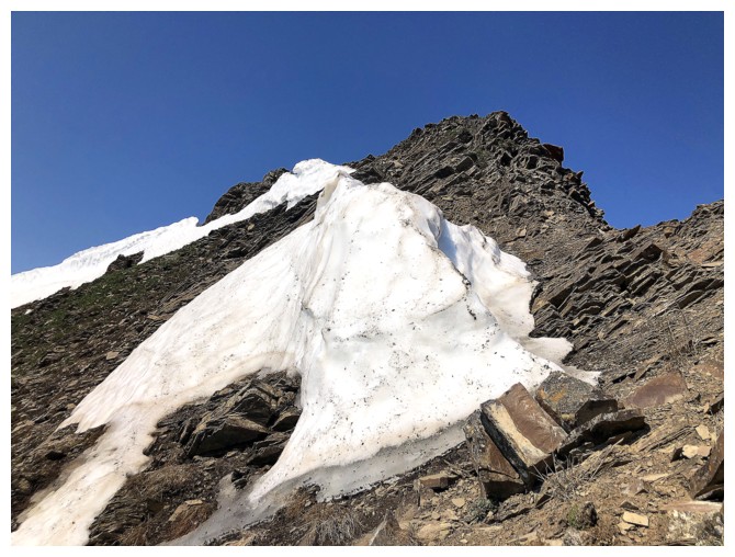
the outlier to the col was perhaps the highlight of the day, a tenacious
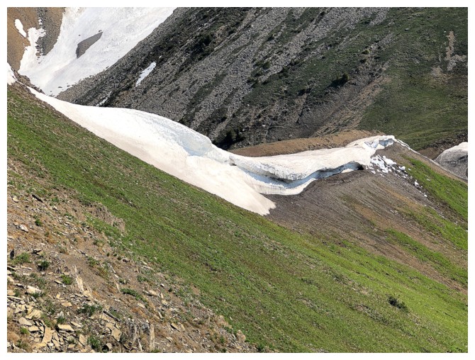
snowbank providing plenty of interest and photo ops.
I can’t say the
same for the ascent of Chesmill – quite foreshortened and mostly on steep,
loose terrain. While the ascent was far from aesthetic, the wonderful summit
view did justify the tedium of getting there. Unfortunately, travel to the next
highpoint, described as the South Peak of Headwall Peak in David Jones’
guidebook, was not feasible as a scramble. After enjoying the view, I followed
my ascent route back to the start, although in retrospect the drainage may have
been a faster option.
In some ways,
Chesmill exceeded my expectations and in other ways not so much. Doubtful that
I would repeat the trip, but instead try to get up the South Peak of Headwall –
a trip that will probably also sit comfortably on the “if I can’t think of
anything else to do” list!
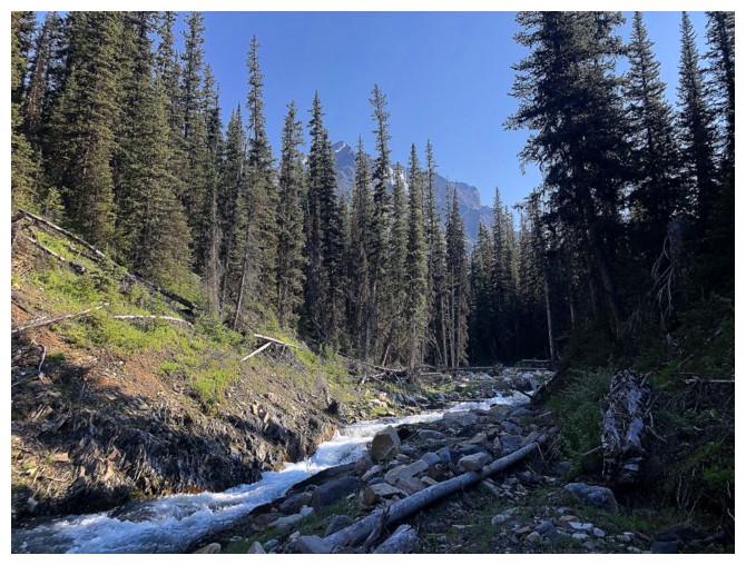
James Walker Creek
Easy crossing using this tree
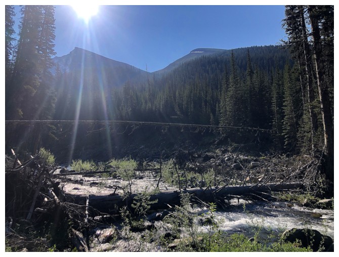
The tree and Kent Ridge North at the left
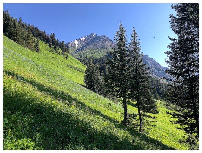
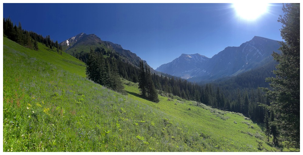
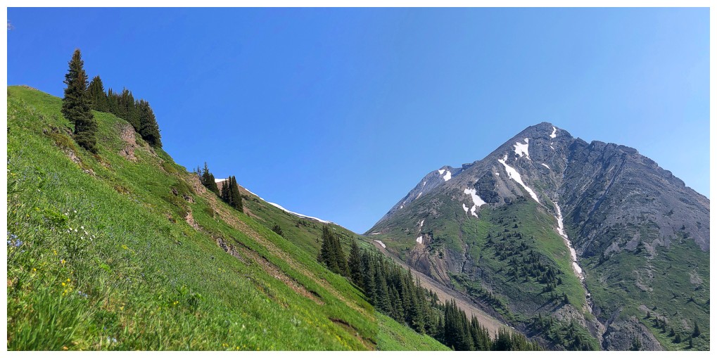
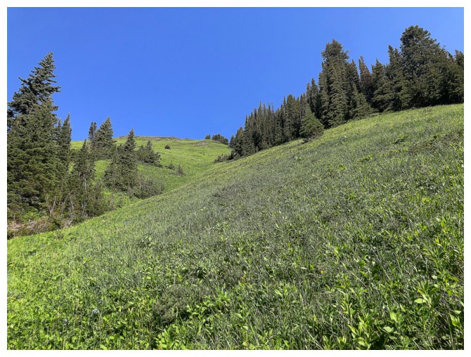
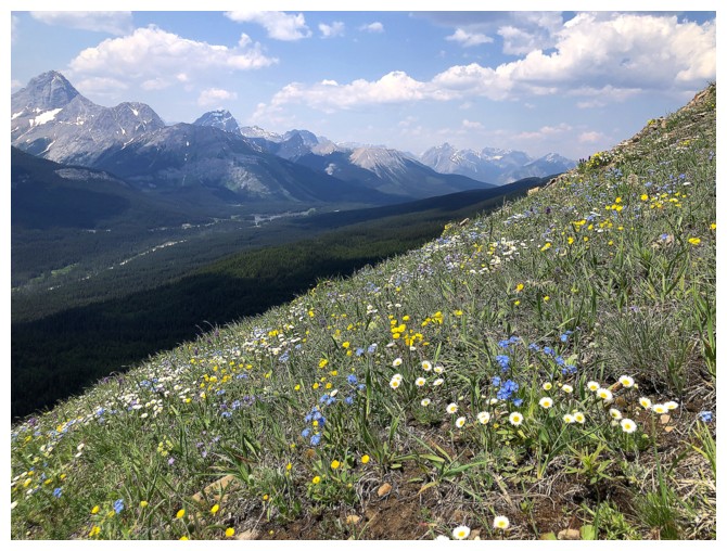
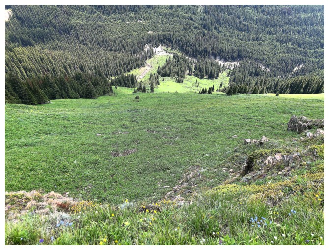
These green slopes were highlight #1
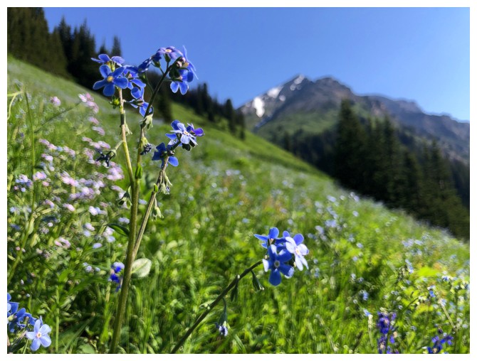
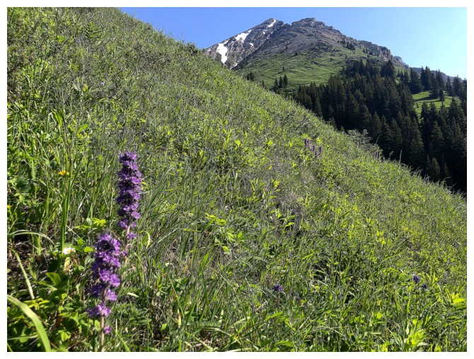
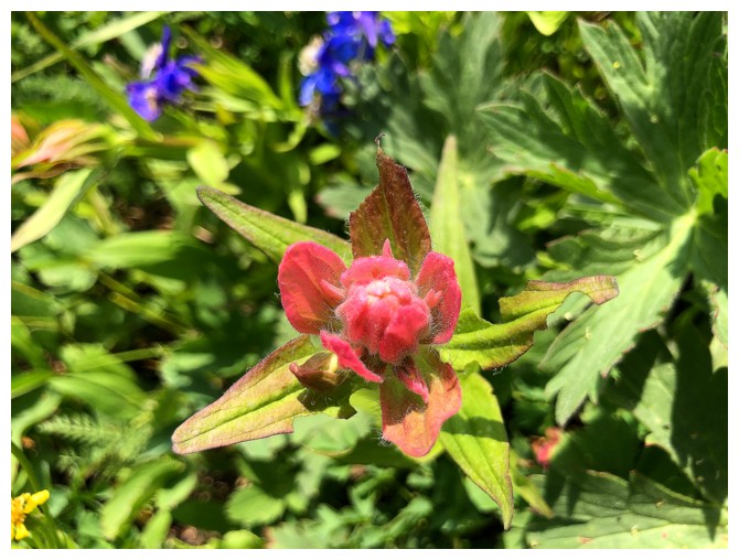
We'll call the wildflowers #2
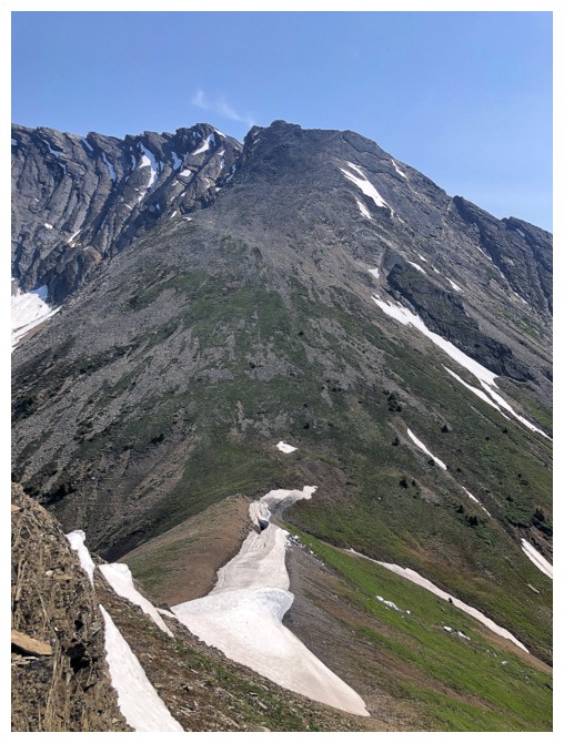
The path up to the ridge
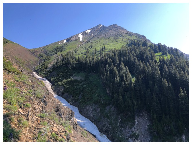
The snowy drainage I could have used for ascent or descent
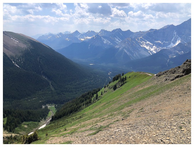
The view to the southwest starts to open up. Mount Murray at the right.
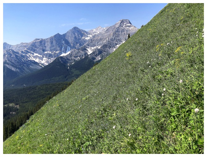
Typical grade of the ascent
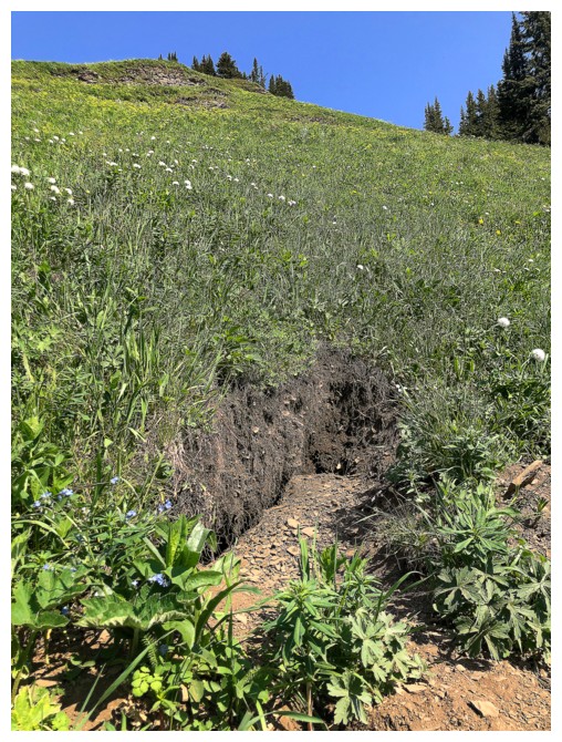
Grizzly diggings everywhere
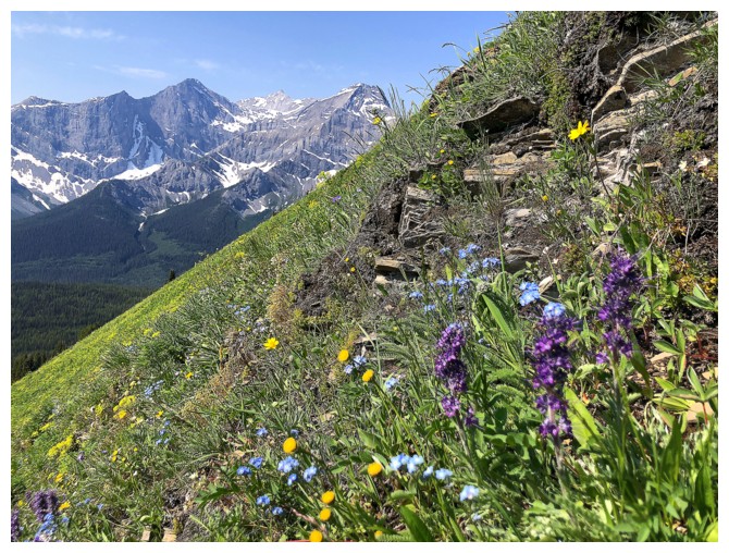
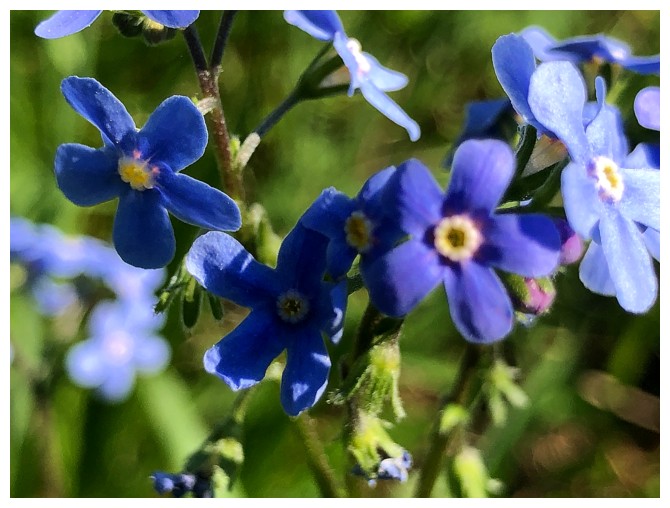
More flowers
On the south ridge
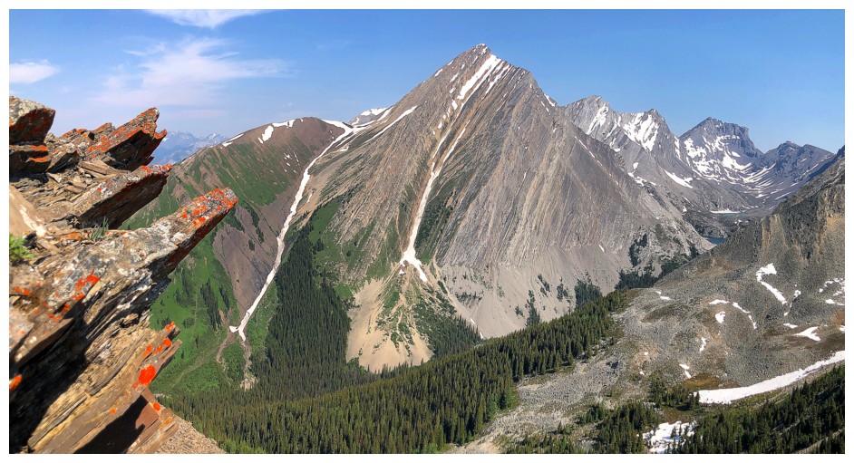
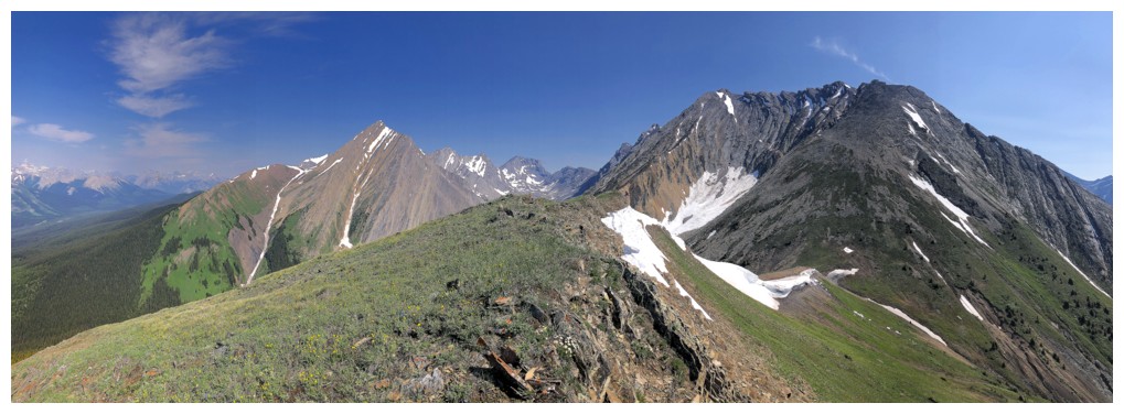
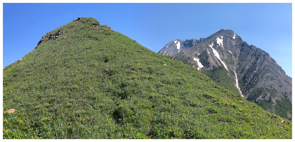
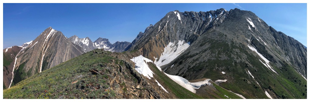
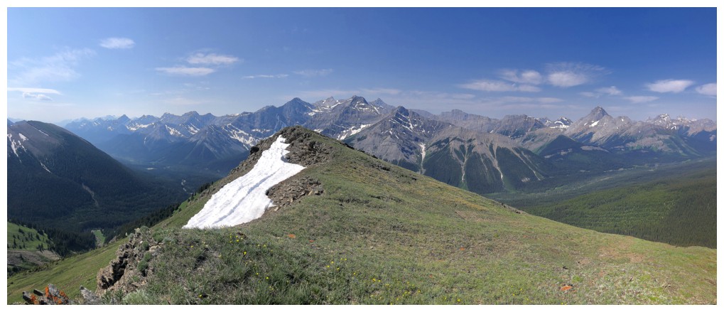
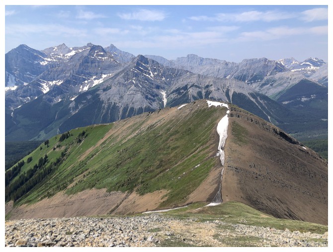
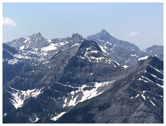
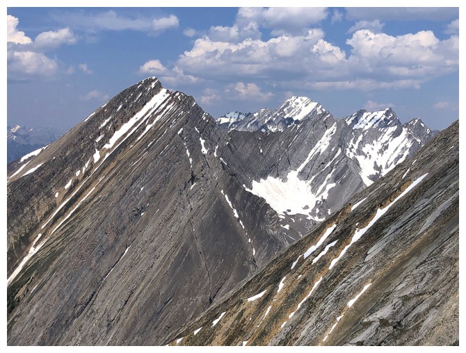
Summit of the outlier at the left and Chesmill to the right
Congrats to these guys, surviving on a rocky ridge
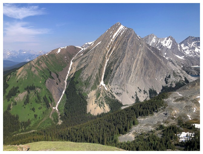
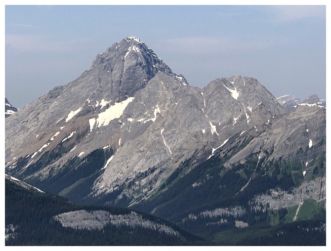
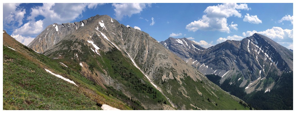
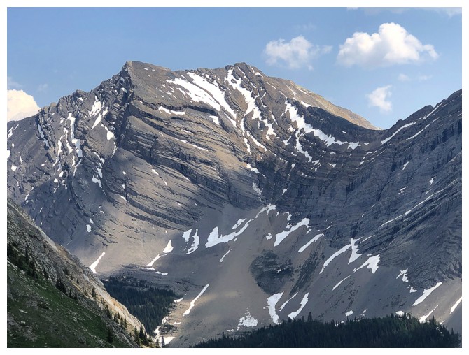
Mount Chester looked great throughout
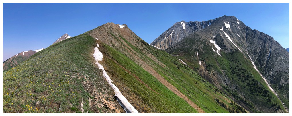
Looking back down the ridge
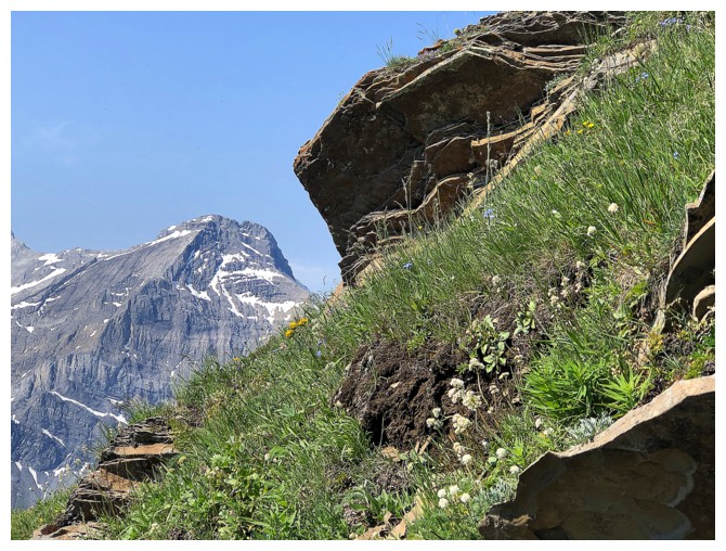
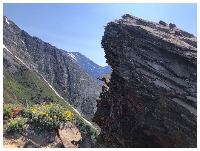
Zoomed-in shot of highlight #3
Approaching the summit of the outlier
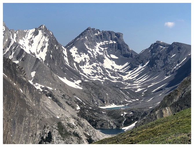
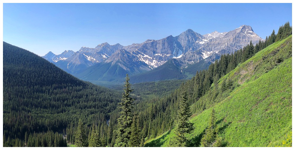
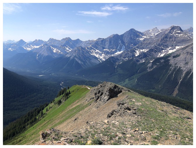
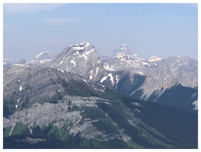
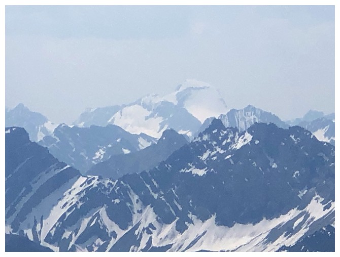
Glimpse of the magnificent Headwall Lakes and The Fortress above them
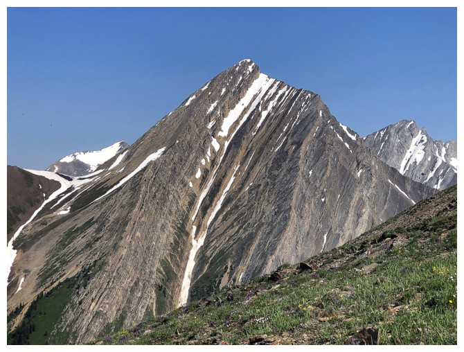
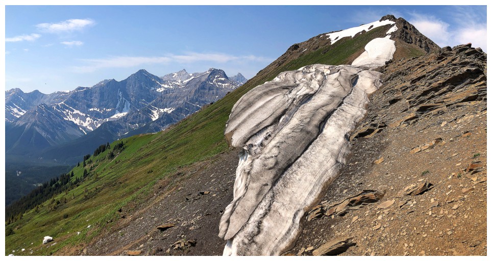
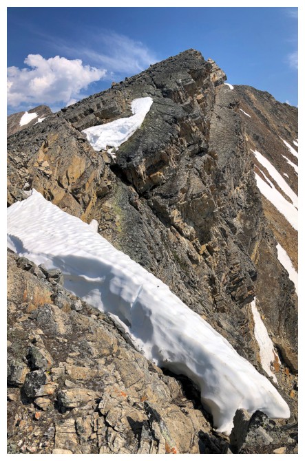
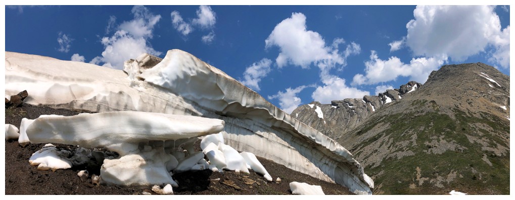
The snowbank and Chesmill's obvious ascent route
Little Chester to the left of Mount Chester
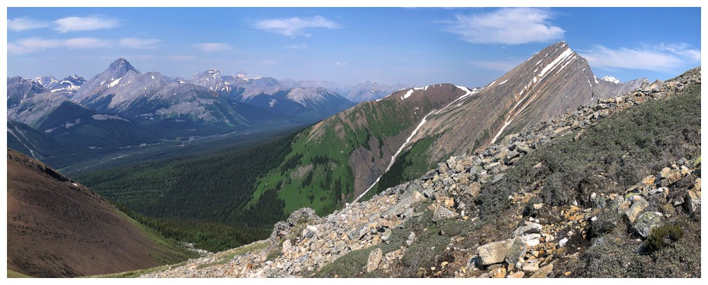
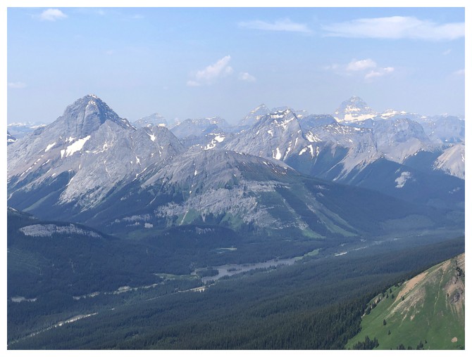
View to the north and east from the outlier
South and west
Mount Birdwood, Pig's Tail, and Commonwealth Peak
Hazy views of Eon, Smuts, and Assiniboine
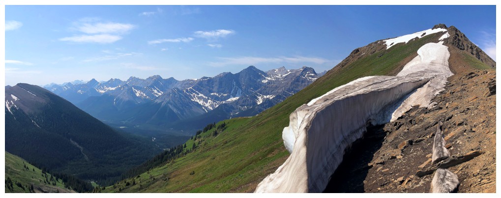
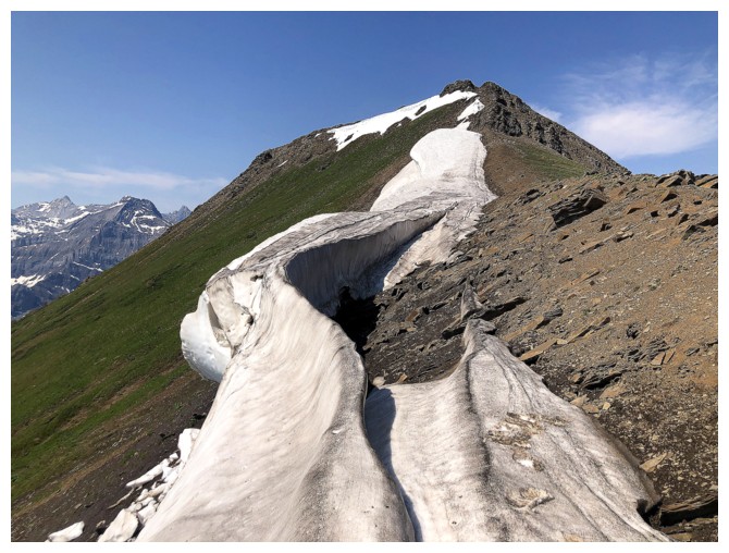
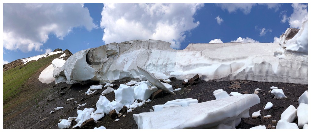
Heading down to the col
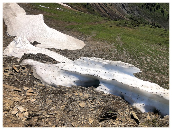
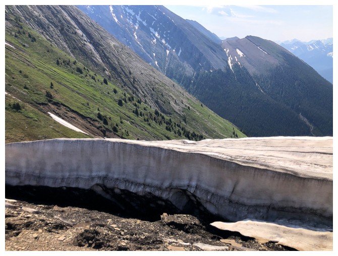
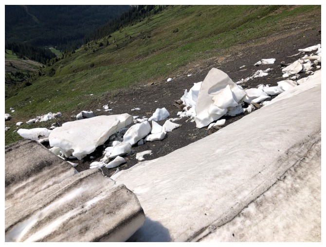
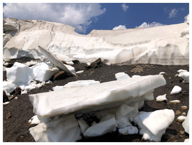
The snowbank is speckled with small pieces of scree
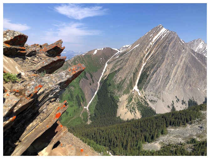
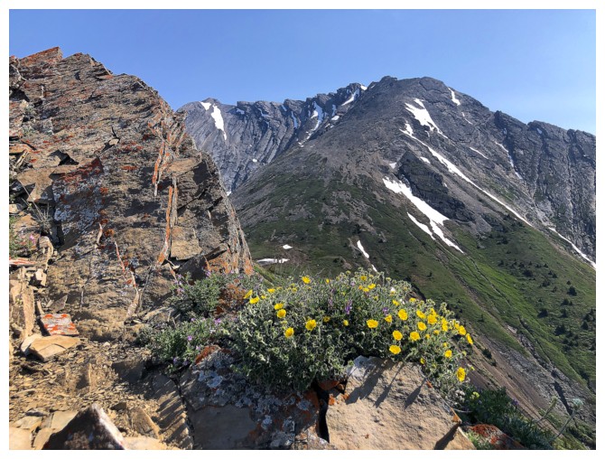
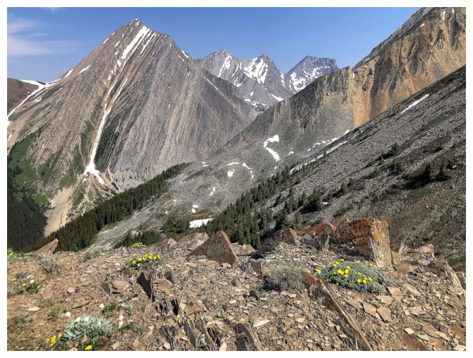
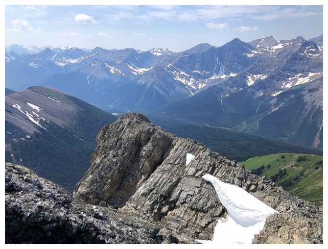
A little lichen is never a bad thing, especially when the backdrop is Mount Chester
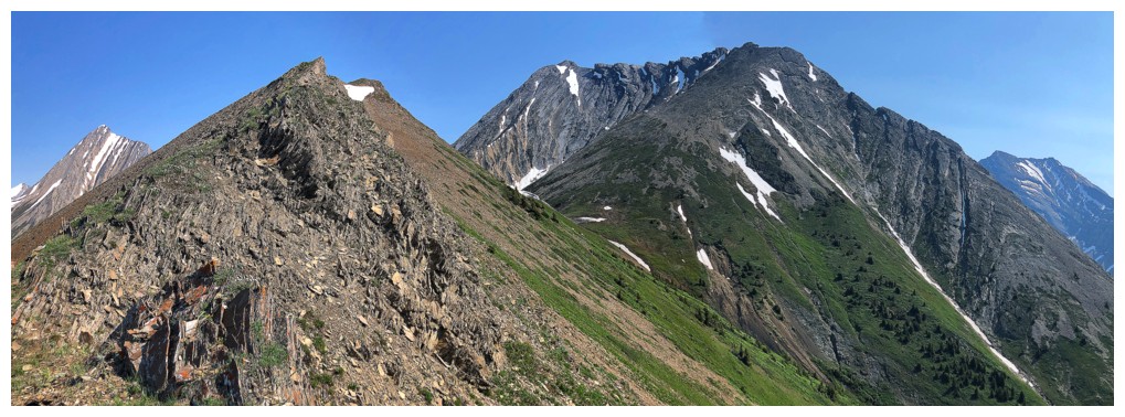
Looking back to the outlier
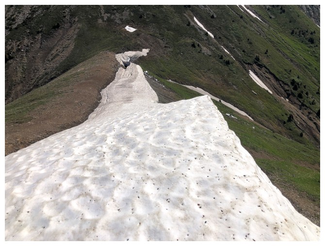
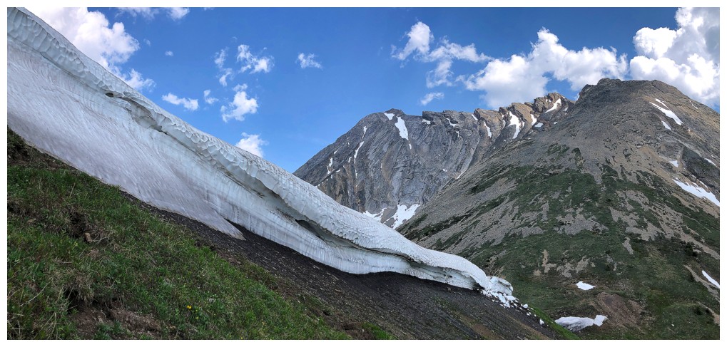
Looking forward to the snow scenery ahead
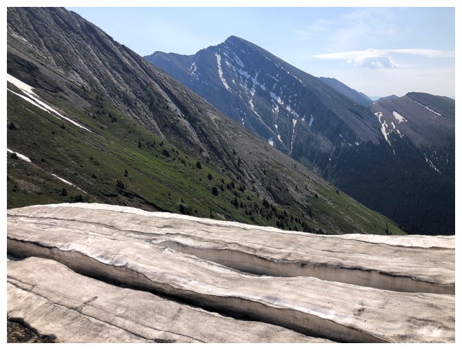
The snowbank and Kent North
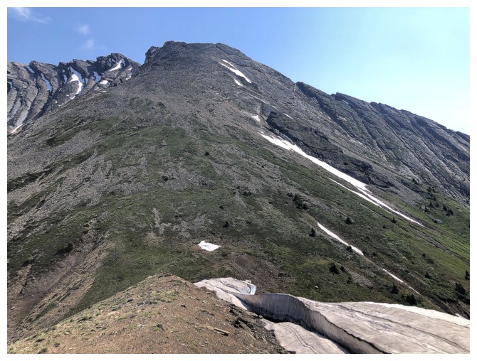
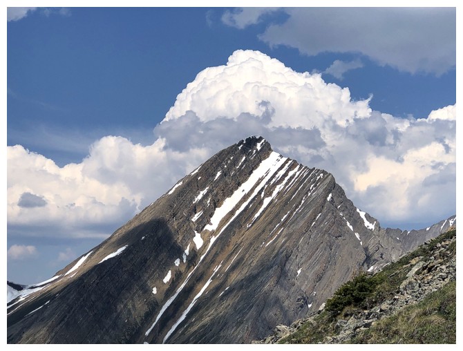
Chesmill looking very innocuous
The outlier of North Kent (right) is a great trip in itself
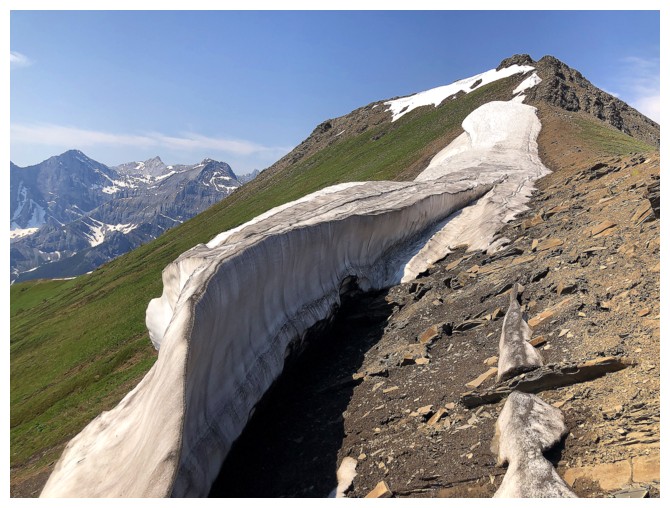
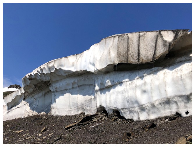
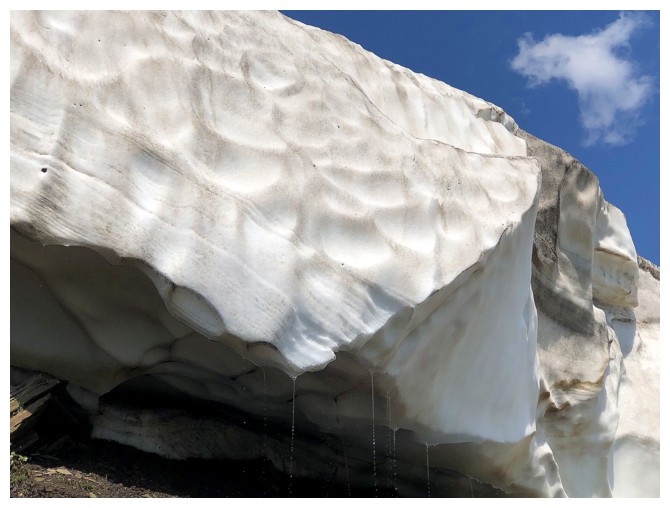
The snow scenery
On Chesmill's lower slopes
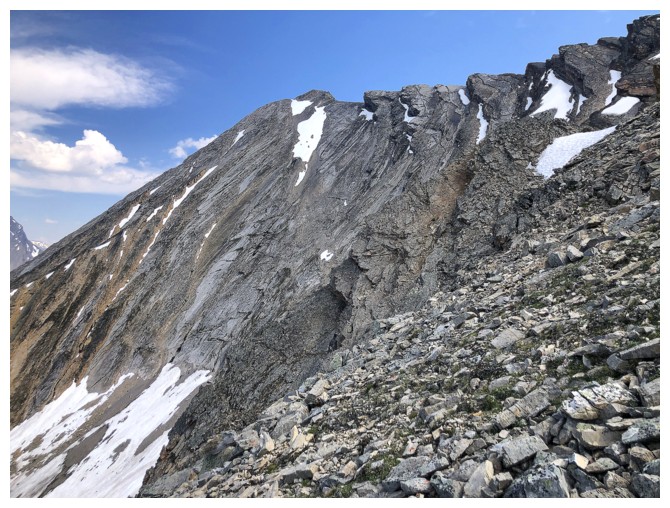
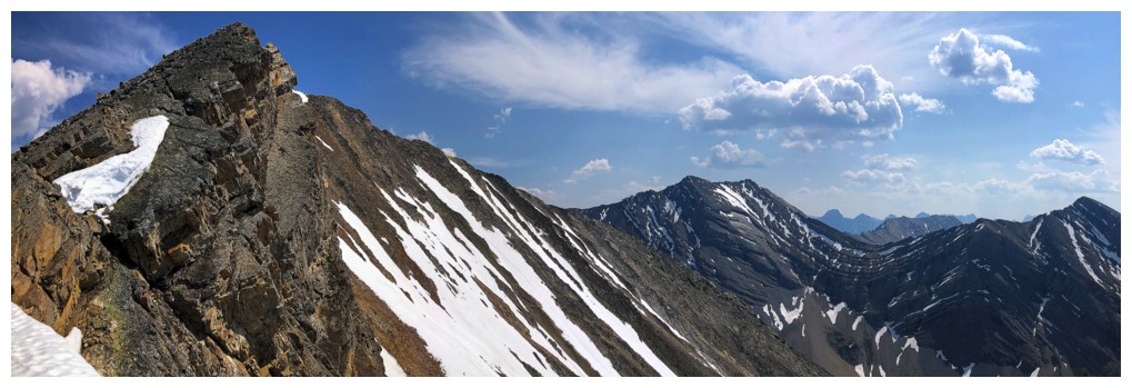
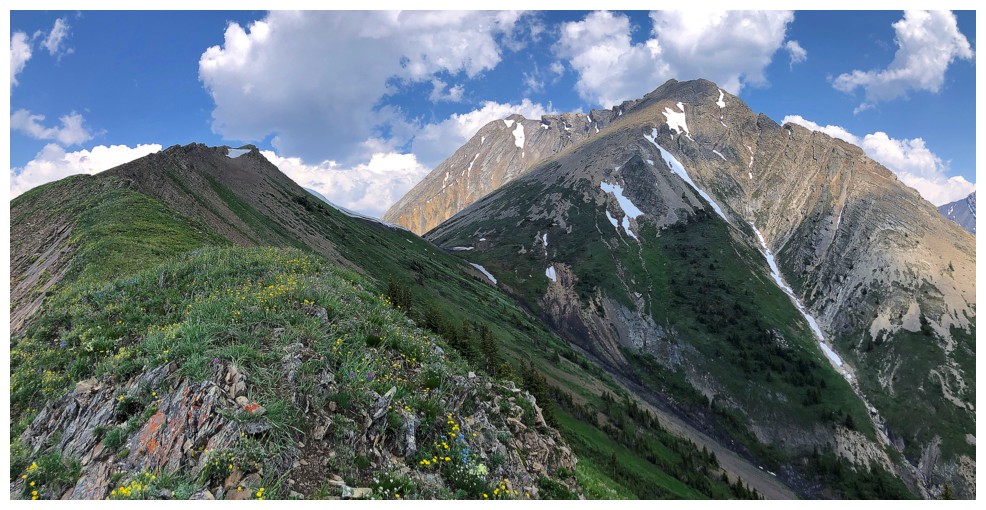
The South Peak of Headwall Peak connects to Chesmill but the ridge it's not a scramble
Grinding up the west ridge
The south side of the ridge is very steep
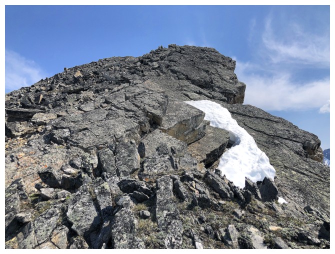
Nearing the summit
A little hazy to the southwest
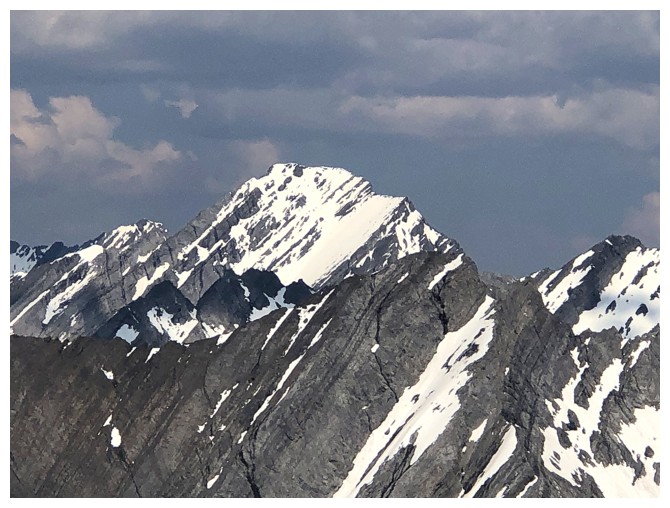
Kent North again. Odd that this summit is unofficial. The official summit of Mount Kent is lower and further south.
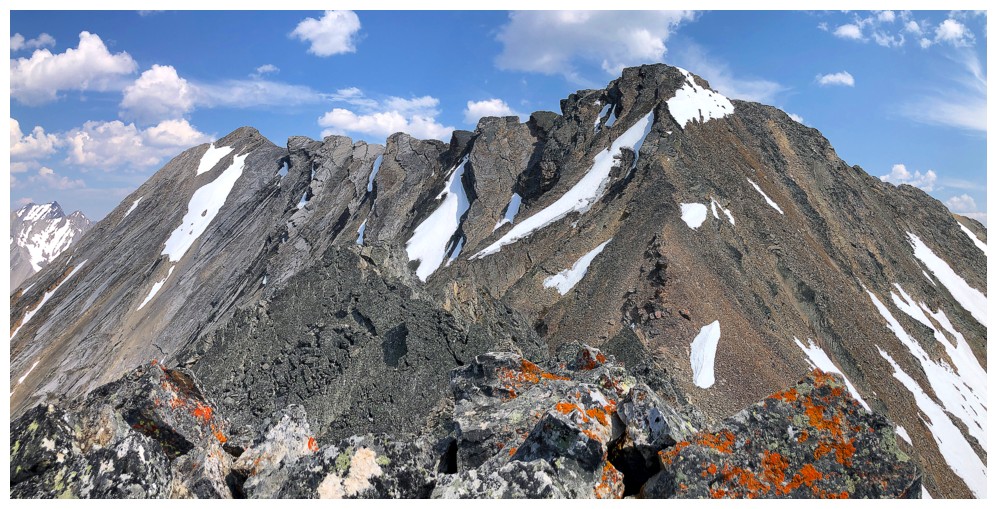
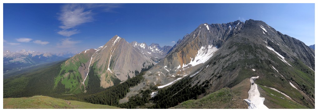
At the summit, looking at the continuation of the ridge and higher Headwall South (left).
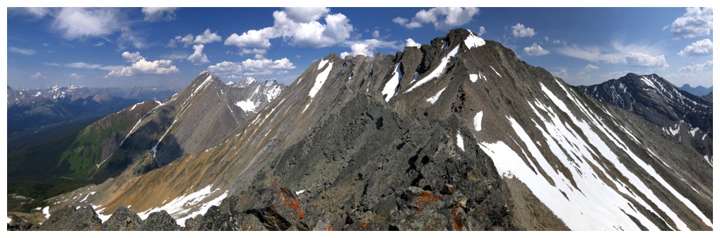
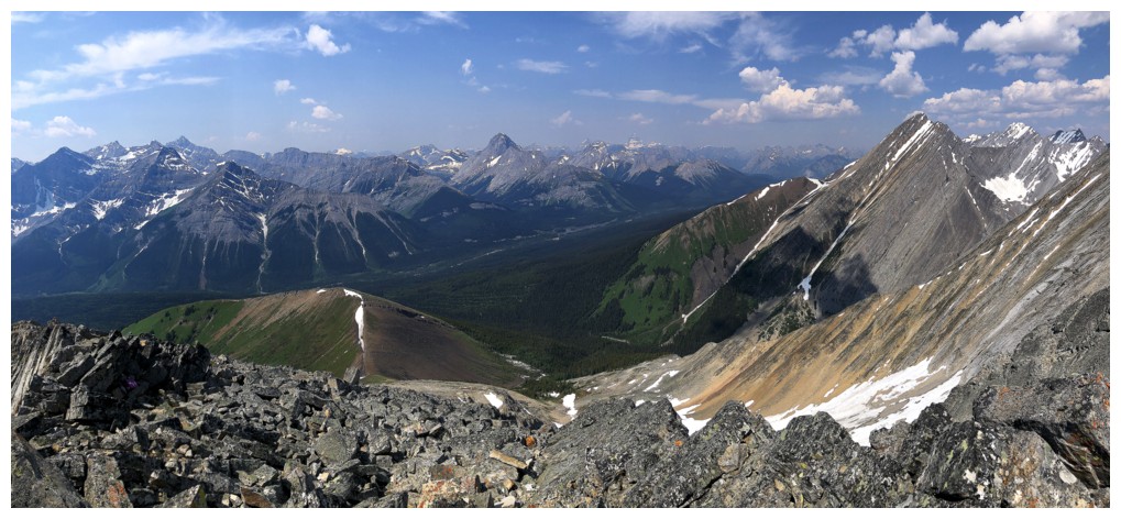
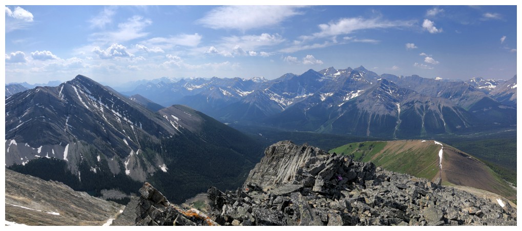
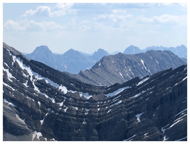
View to the east and much more
Northwest
Southwest
Tons of familiar mountains in this view. Again, too bad it's a little hazy.
Murray and CEFNS in the foreground, Sir Douglas and others in the background
Mount Joffre
The Inflexible/North Kent col (foreground), Little Lawson (midground), and peaks of the Opal Range in the background, including Packenham, Hood, Brock, and Blane.
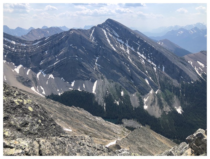
Chester, Galatea, and Gusty
Close-up of Galatea
A cool cloud forms over Chester
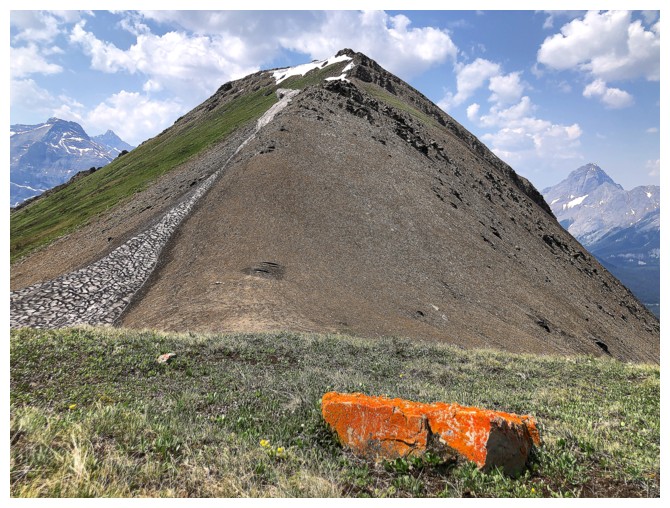
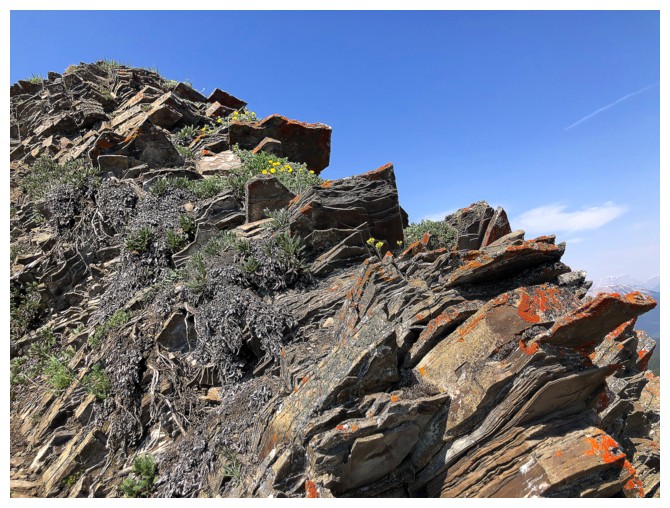
Back near the col to find a very random rock covered in bright orange lichen
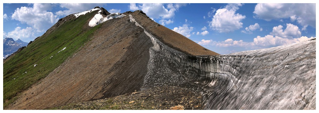
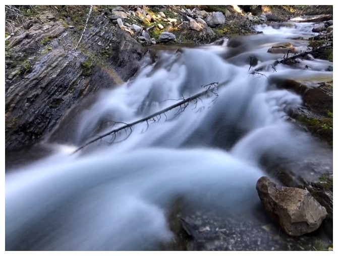
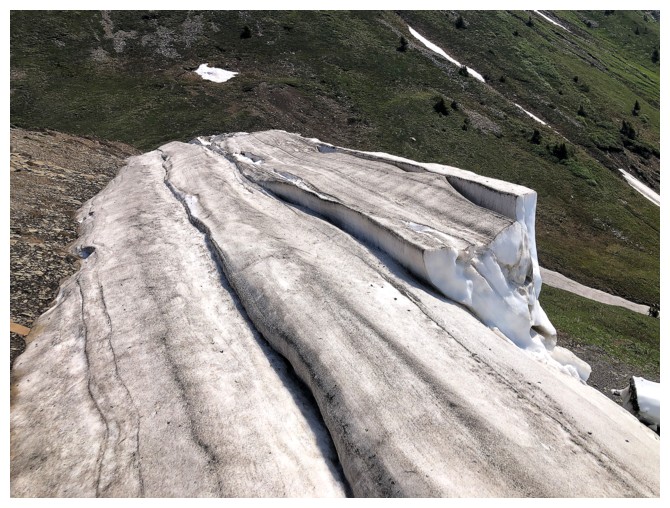
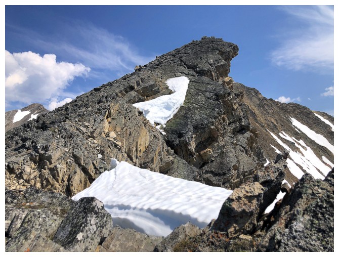
Round 2 of the snow scenery; this time it's the "dirty snow".
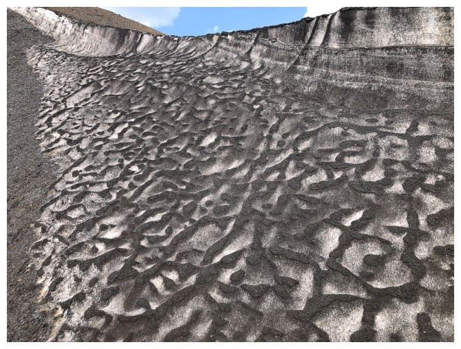
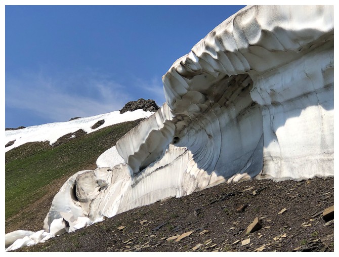
So much geometry in melting patterns and other nature-related stuff
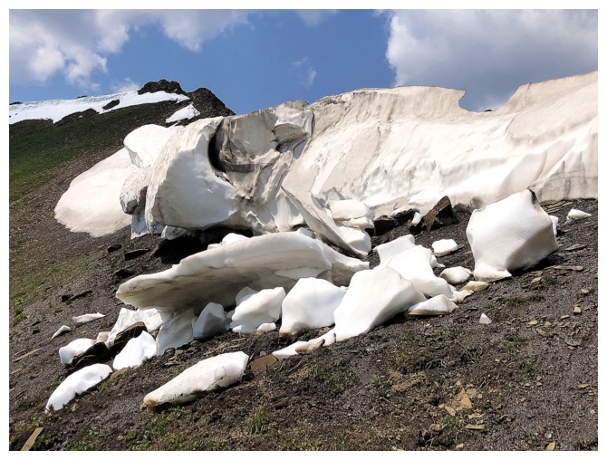
Back to clean snow
Traversing back to the ridge, although I should have descended the drainage near the left
Parting views of Chesmill and others
Clouds started to build during the descent
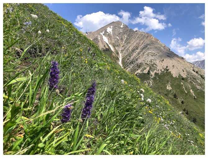
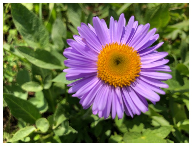
More wildflowers
Descending the steep, grassy slopes
Mount Inflexible - there's a route up to the summit on the west face, but no one has ever raved about it!
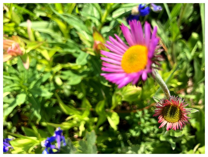
The photos end with more wildflower beauty
The End
LOG