Mount Crandell VI
November 3, 2024
Mountain height: 2378 m
Elevation gain: 1000 m
Ascent time: 3:50
Descent time: 1:55
Solo scramble.
November is almost
always the month of “mountain uncertainty”. Conditions can vary wildly from
year to year – could be full-on winter or no signs at all
that snow is on the way. 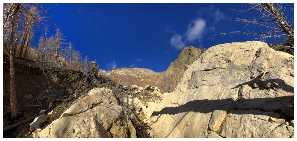 With a half and half situation in Waterton, and a very
iffy weather forecast in hand, I decided to repeat a route Mark and I had
completed up Mount Crandell in January of 2022. The route is similar to Alan
Kane’s descent route but spends more time in the drainage. I had also seen
another potential line that would take a more direct route to the summit. That would
be a game time decision. While our January ascent was a snowshoe one, this November
day would clearly not involve any snow or ice in the drainage.
With a half and half situation in Waterton, and a very
iffy weather forecast in hand, I decided to repeat a route Mark and I had
completed up Mount Crandell in January of 2022. The route is similar to Alan
Kane’s descent route but spends more time in the drainage. I had also seen
another potential line that would take a more direct route to the summit. That would
be a game time decision. While our January ascent was a snowshoe one, this November
day would clearly not involve any snow or ice in the drainage.
I didn’t have
to go too far up the drainage before abandoning the initial plan and heading up
a totally different line, north of the Tick Ridge route. 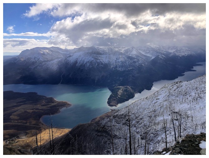 This was not the line
I had seen on the January trip, but it looked interesting and doable for at the
least the lower part.
This was not the line
I had seen on the January trip, but it looked interesting and doable for at the
least the lower part.
Without going
into too much detail, the route worked quite well. It was definitely more
challenging than expected and the microspikes came out for the snowy upper
section. I was able to breathe a sigh of relief when the ridge intercepted the
Tick Ridge/Bear’s Hump route, a few hundred metres before the summit.
Downclimbing the route I had ascended would have required much care and cautious travel.
I probably set
a new record for shortest summit stay at under one minute. Having seen this
view multiple times and with much better weather, there was no point in hanging
around. I used Kane’s descent route to get down the mountain.
Happy to have
completed a different route up Mount Crandell, but I probably wouldn’t repeat
it – much better to do the Kane routes from near the Waterton townsite or the west ridge
route from the Akamina Parkway.
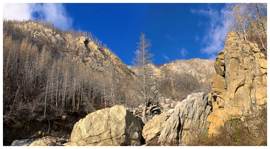
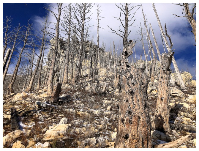
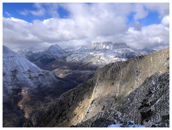
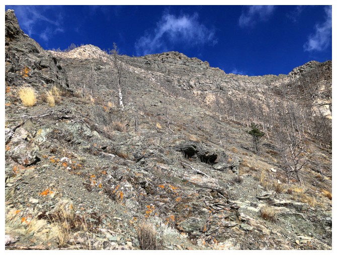
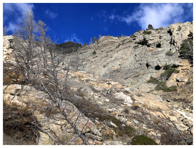
Mount Crandell from near the beginning. The Tick Ridge route at the left. I went up the straight up the centre.
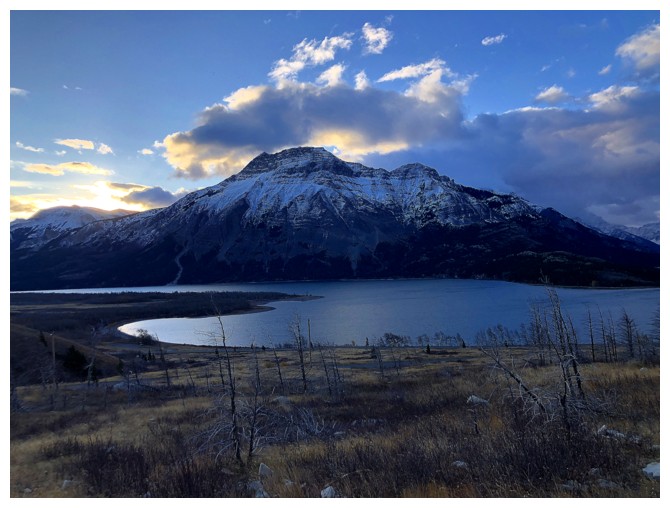
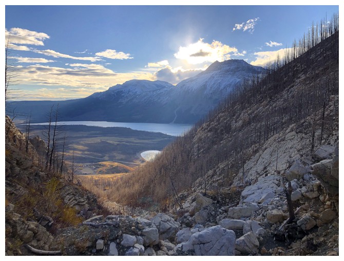
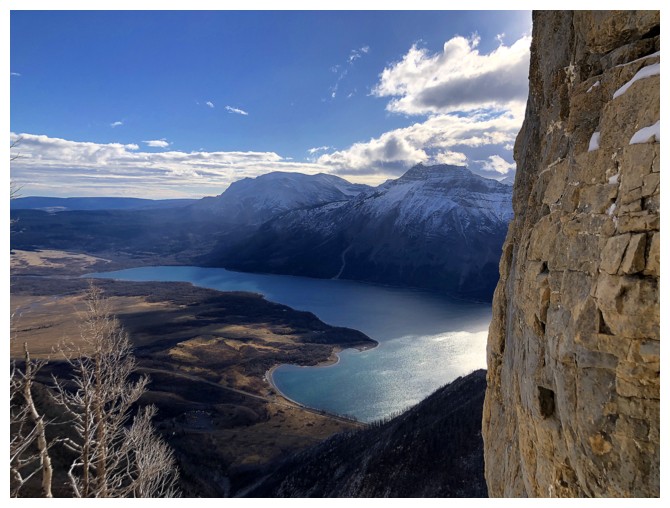
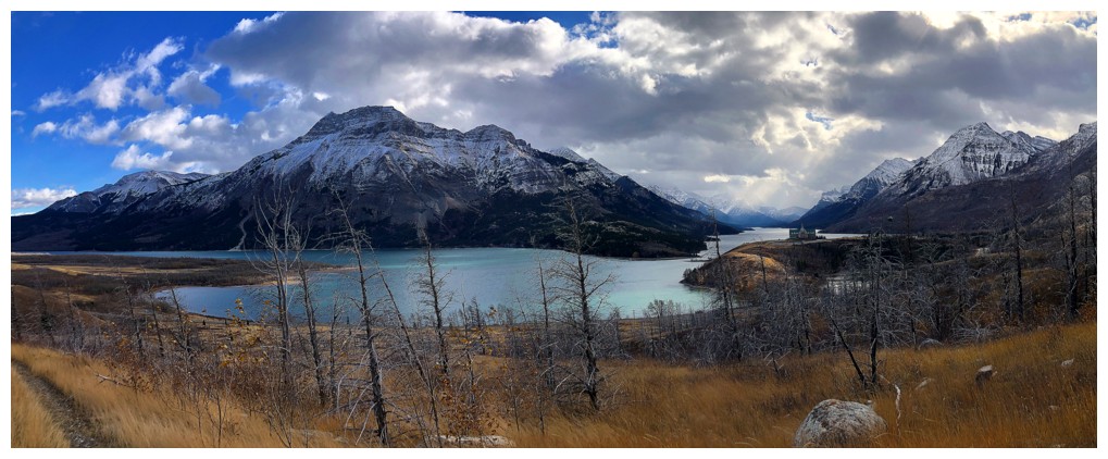
Vimy Peak above Middle Waterton Lake
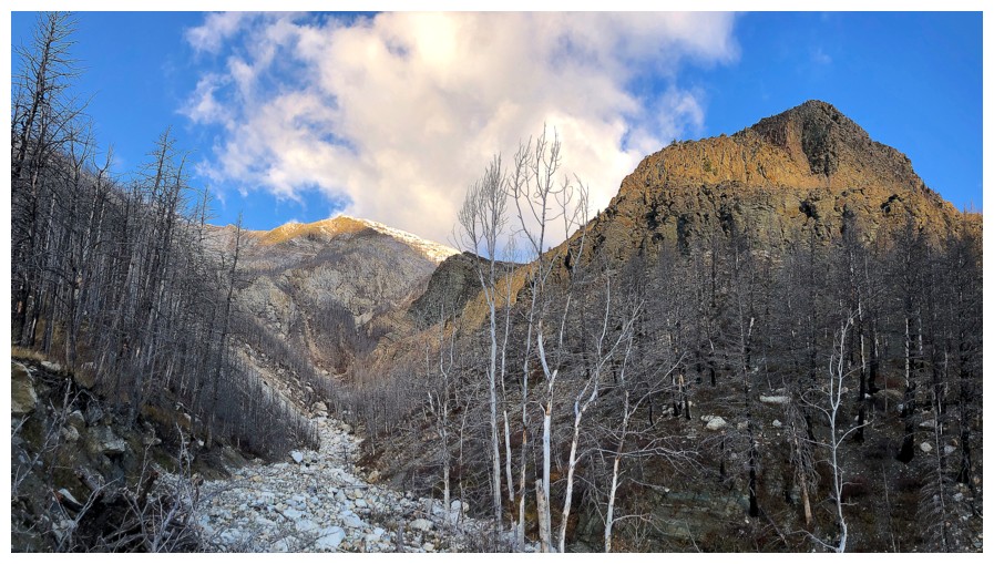
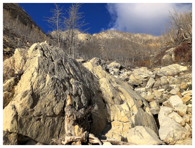
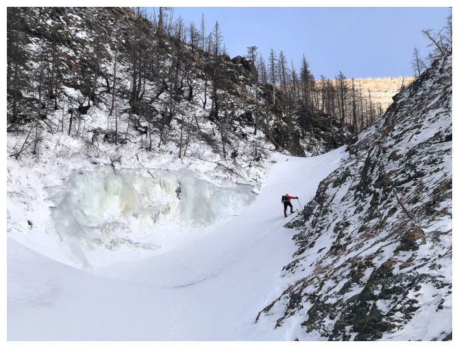
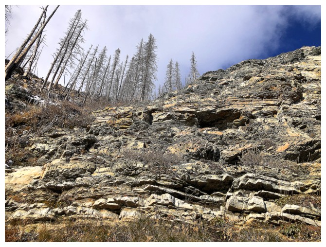
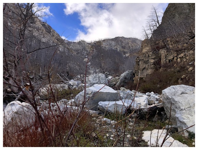
In the drainage
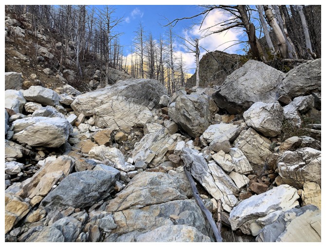
Fun boulder-hopping on mostly stable, solid rock up the drainage
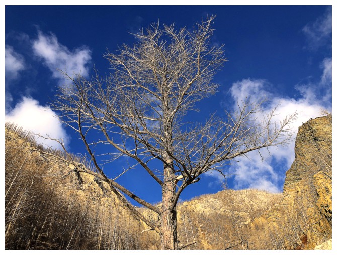
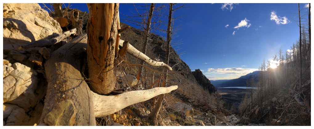
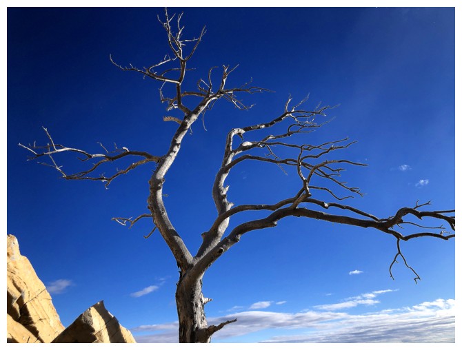
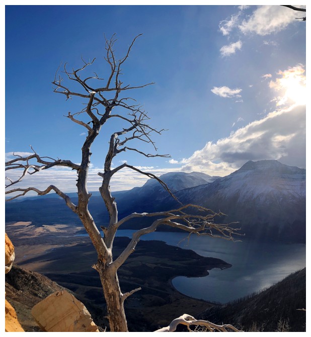
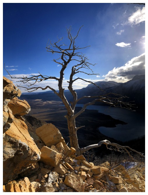
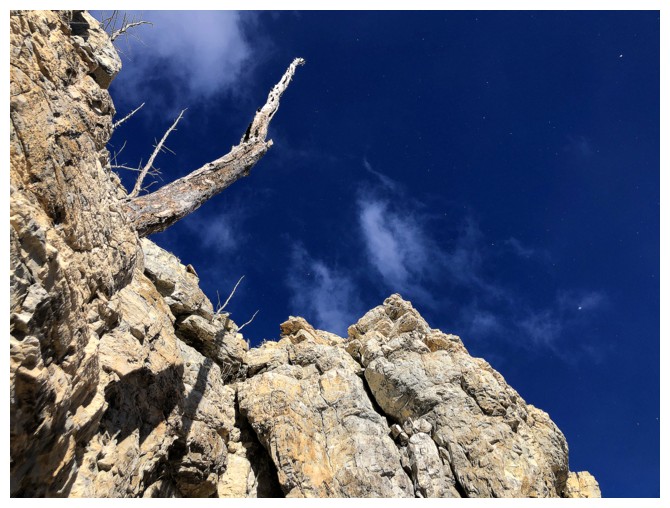
Nice tree
And much more
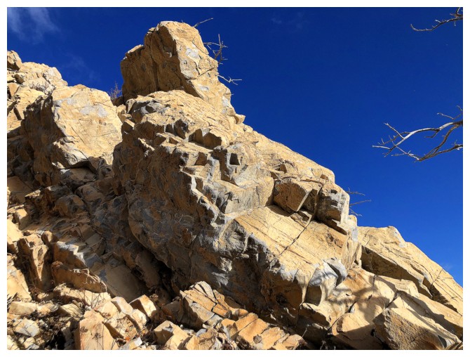
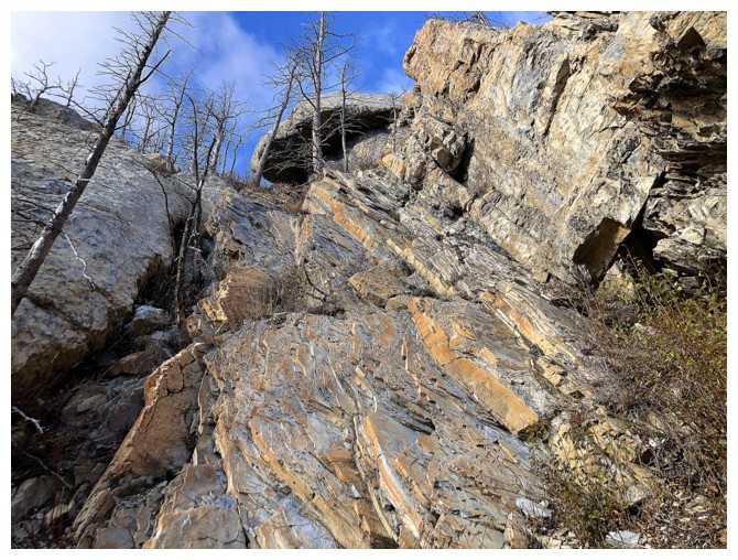
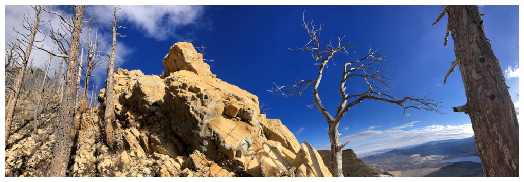
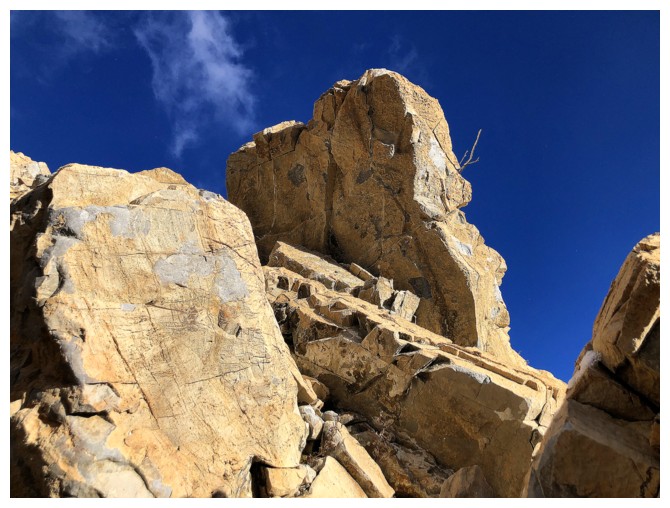
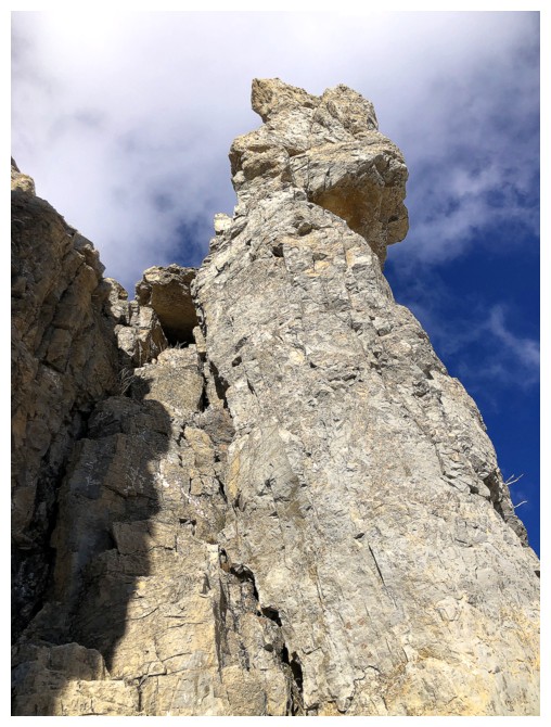
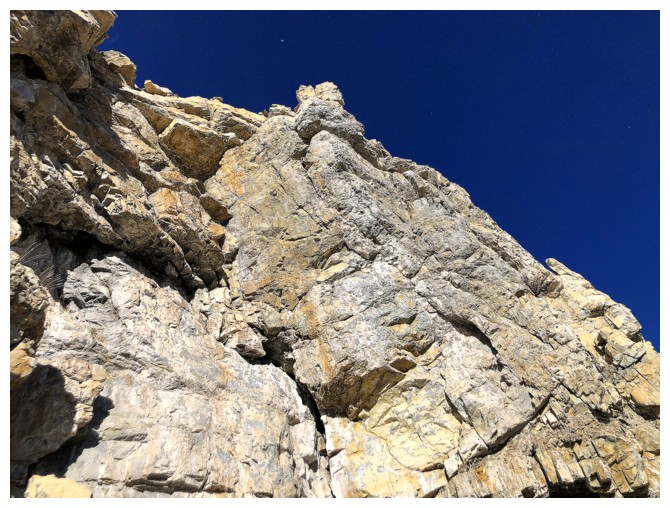
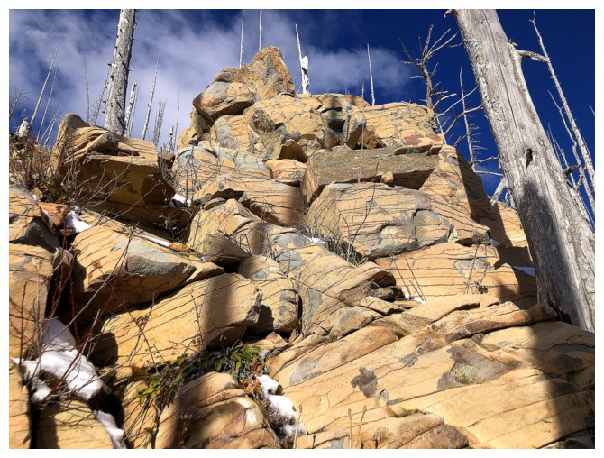
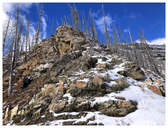
Nice rock
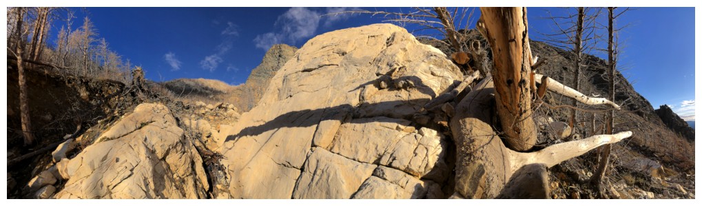
VERY cool tree near the right, with a vice grip around another tree
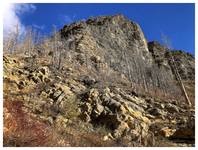
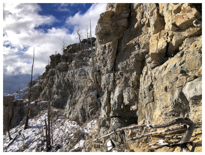
Some of the rock on Crandell is very solid and that's why the mountain
is home to many technical climbing routes around Bear's Hump.
Unfortunately, that's about it for roped climbing in Waterton.
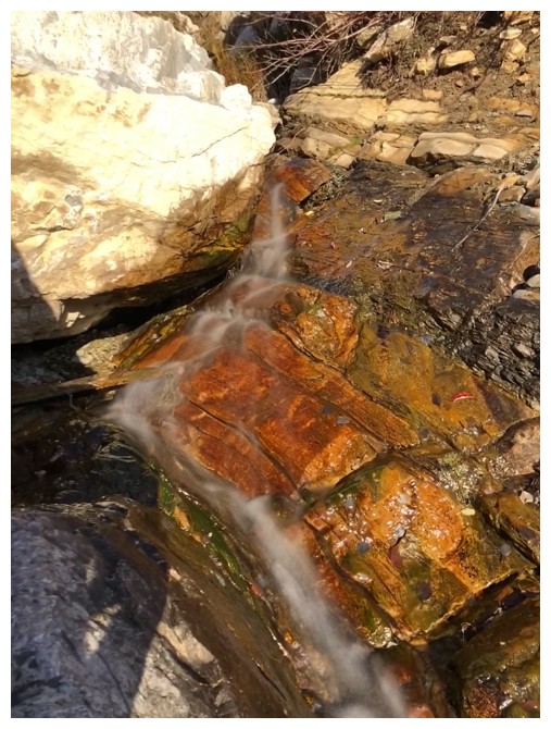
Had to get at least one long exposure photo!
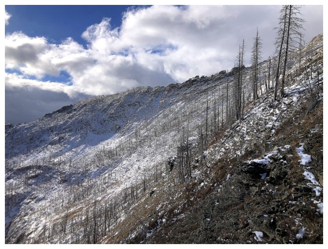
The view behind slowly opens up
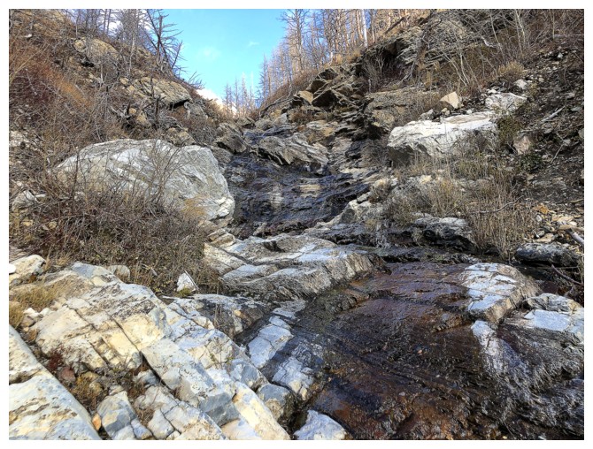
The amount of water in the drainage increases, making travel trickier
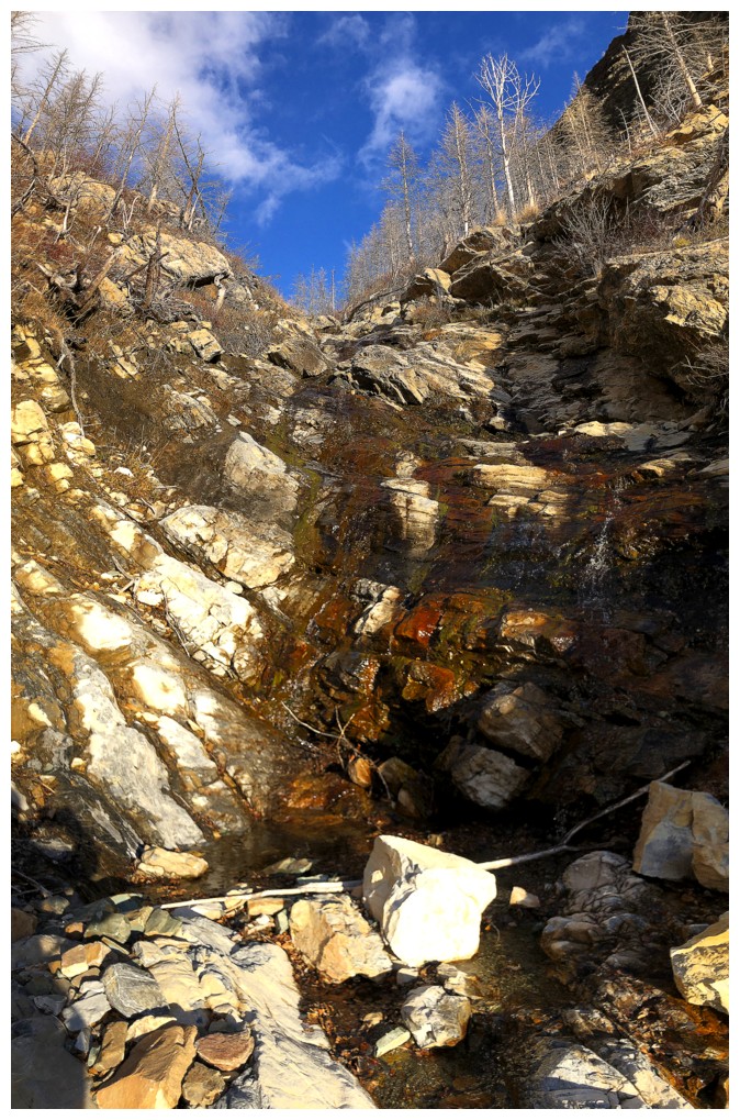
Had to circumvent this section on the left side which led to the new route
The same terrain when snow covered in January of 2022
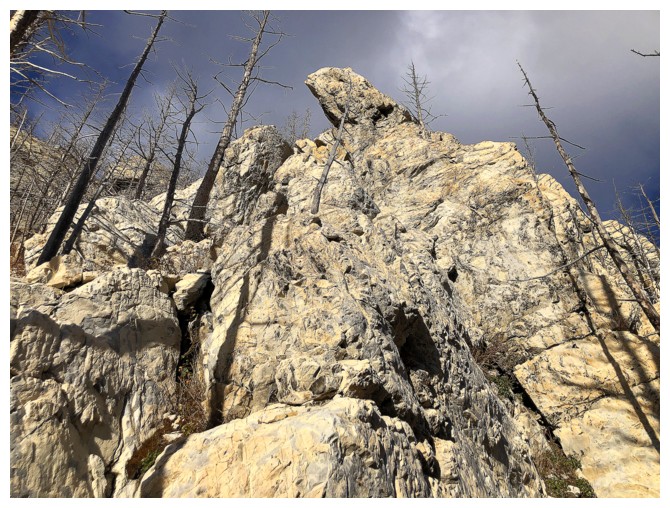
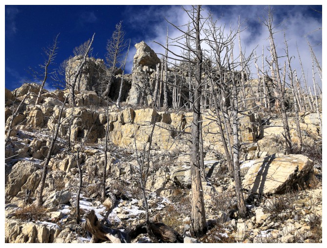
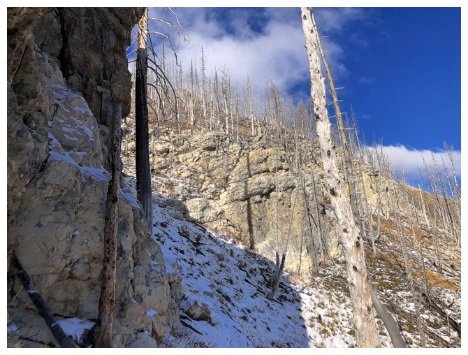
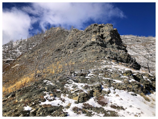
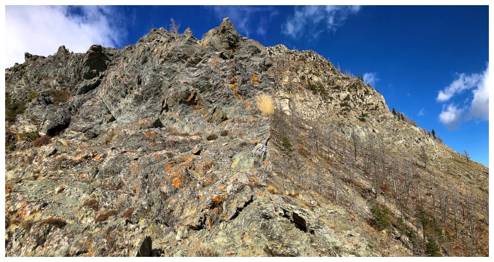
Great rock, but too steep to scramble up
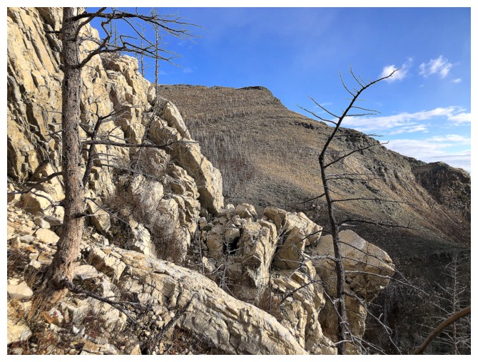
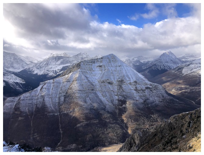
Heading for a route in the centre
Part of the Kane descent route
Tried to get up this section on the left side but backed down when I realized how deceivingly steep it was
Onto easier terrain
The drainage in the centre is the route Mark and I took in 2022
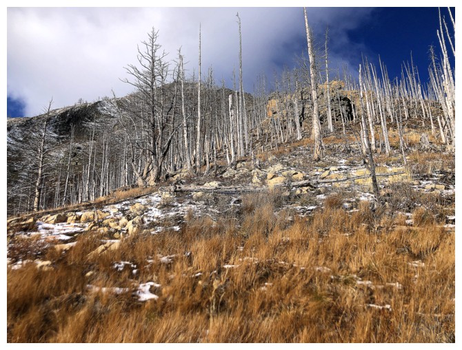
Slabby uplifts
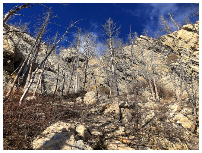
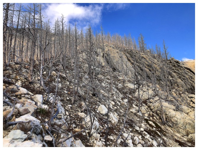
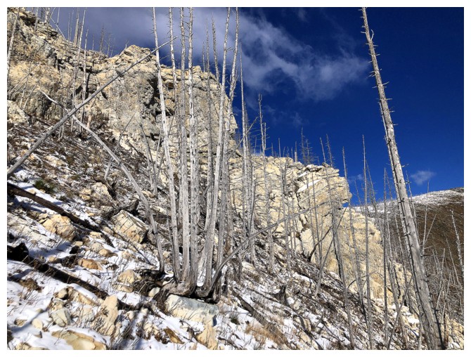
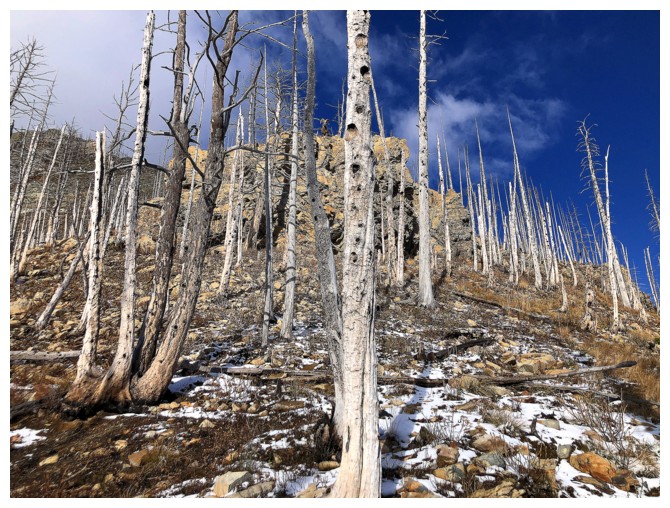
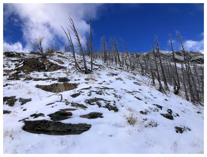
It's Tree-Time
Encountered the most colourful rock of the day here and it's not even red argillite!
Back to Tree-Time
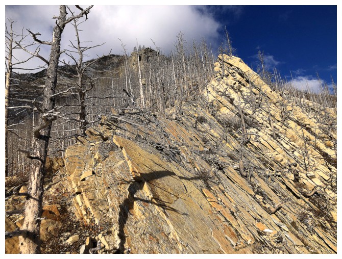
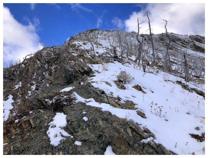
Approaching another challenging section
 Thought about going up here but again backed down
Went this way instead
The Middle Waterton Lake
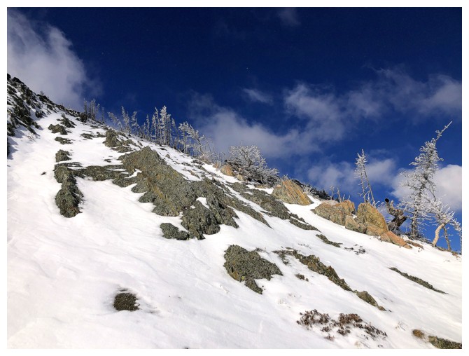
Bluest sky of the day
Same as above
Looking back towards the route I chickened out of...
...and the easy route around the difficulties
Another section of easy terrain
Someone is watching me
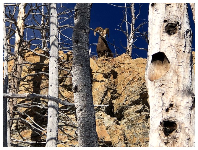
That dude!
He's gone
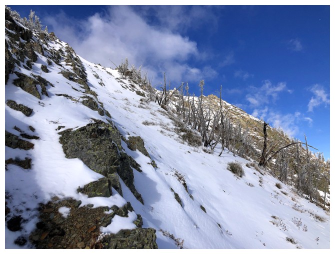
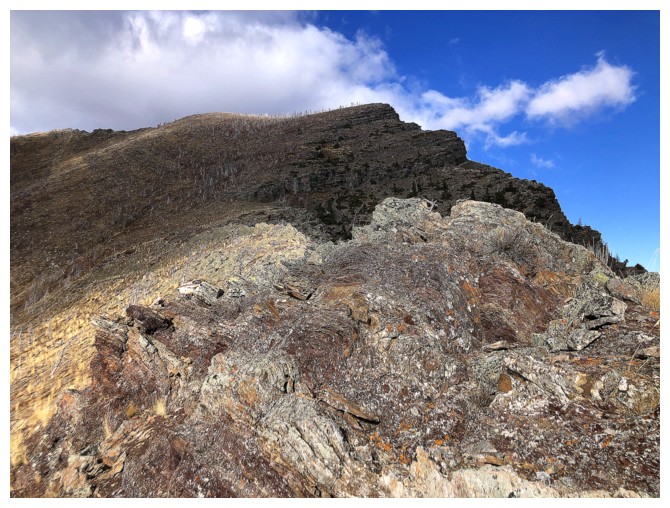
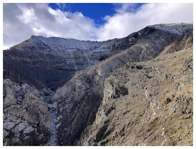
I probably should have tried to stay on the ridge here, but I traversed left to get around some steep rock bands
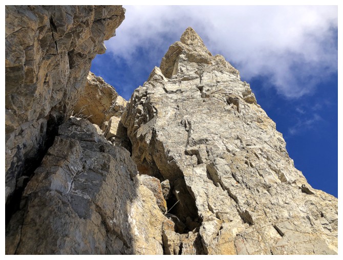
First visual of the infamous Cockscomb. I have never traversed that exposed section and I'm not sure I ever would.
Again, the terrain is much steeper than it appears
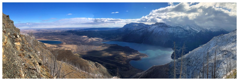
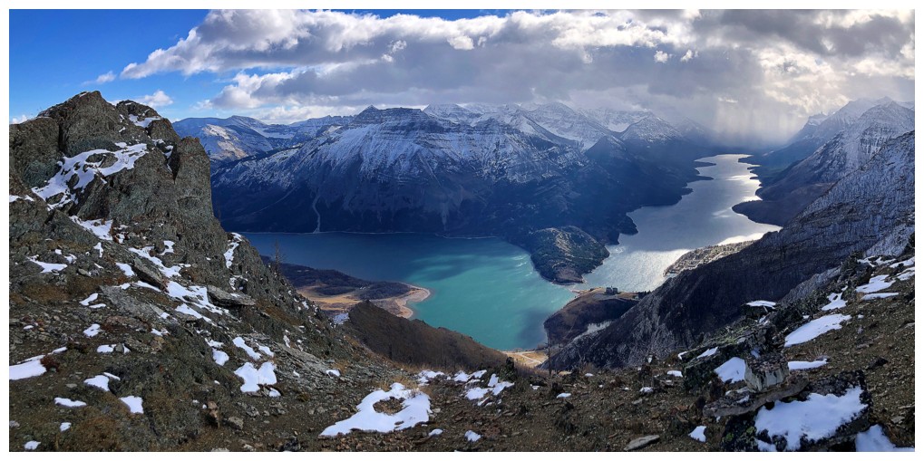
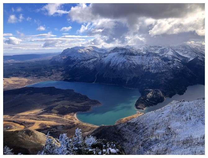
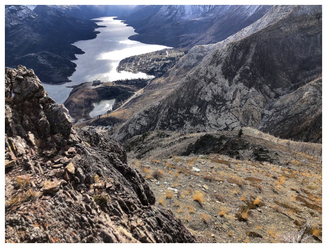
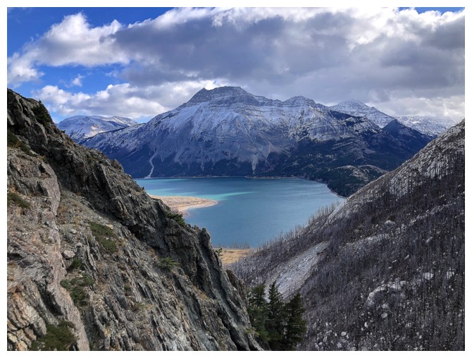
Sweet view over the lakes
Back on the ridge and hoping to finish the ascent on easier terrain
Finally, some of the Upper Lake is visible
And finally some easy terrain that leads to the Tick Ridge/Bear's Hump ridge
Same as above
More of the Upper Lake
Sinister clouds to the southwest
Microspikes helped here
Rime on trees
Same as above
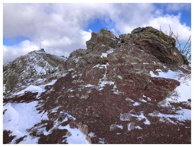
Almost at the upper ridge
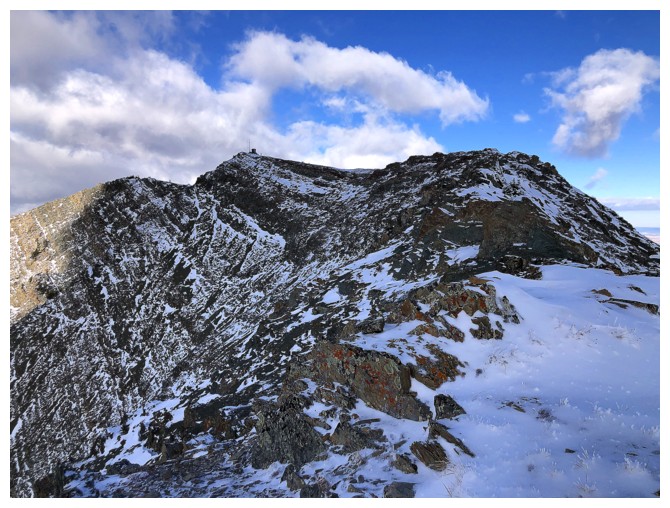
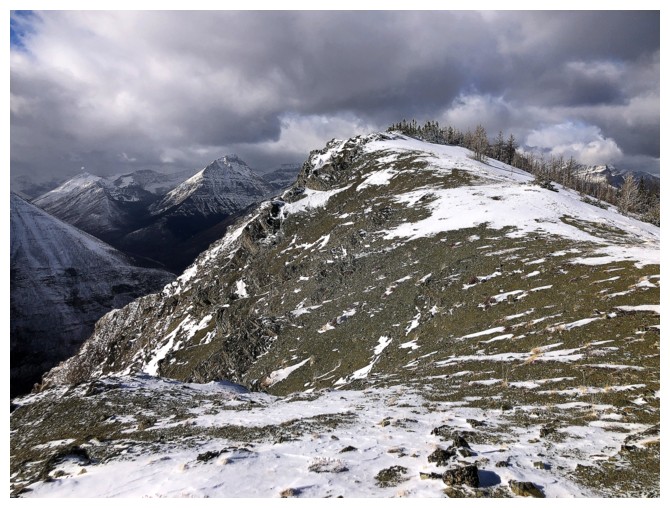
On it. Summit is just left of centre.
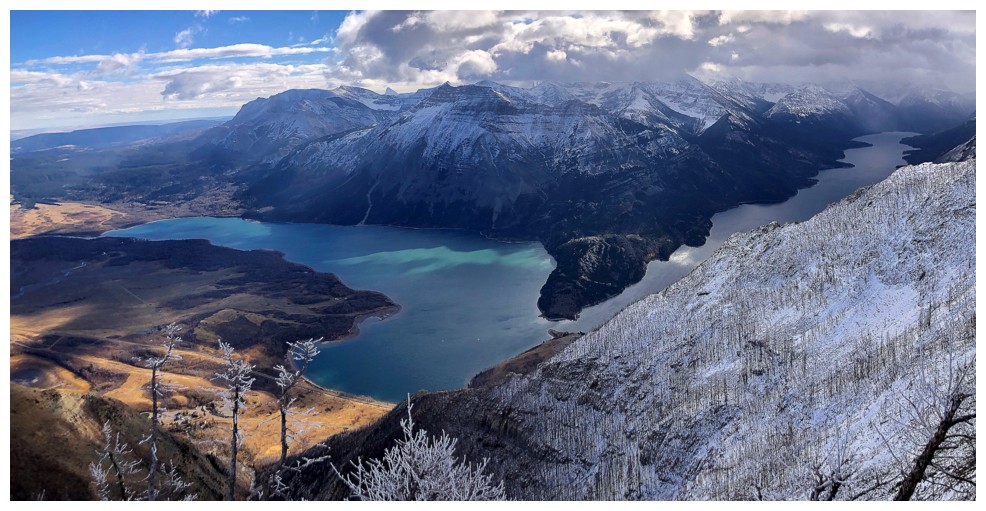
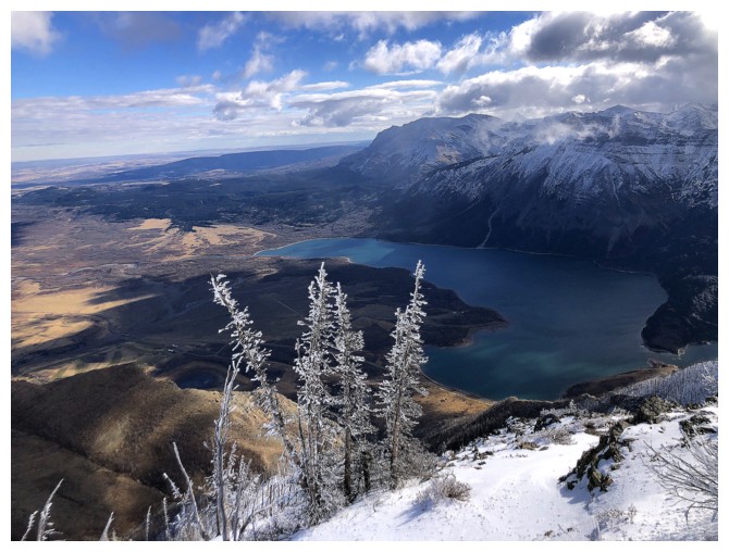
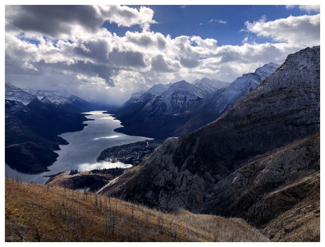
The best view I got of the Waterton Lakes on ascent
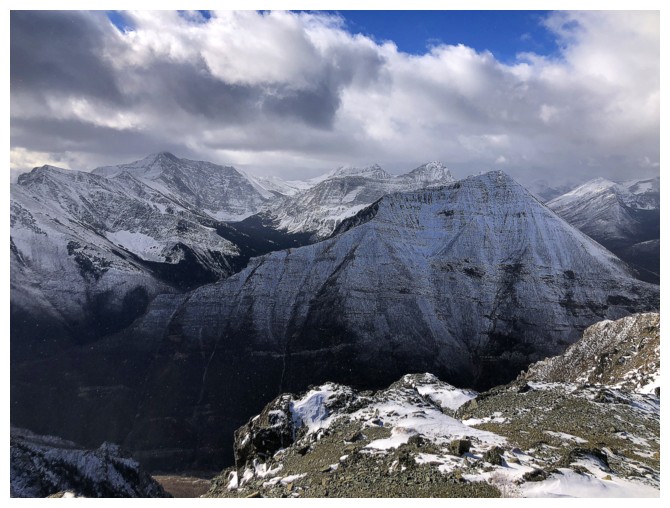
Cloudy views of mounts Lineham, Blakiston, and Ruby Ridge
Buchanan Northeast
The Middle Lake again
Minutes away from the top
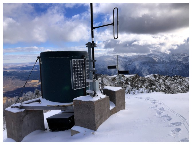
The summit "whatever"
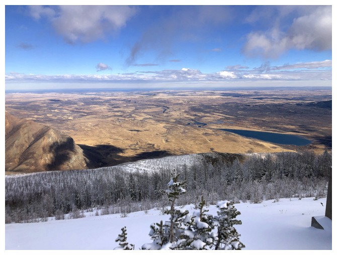
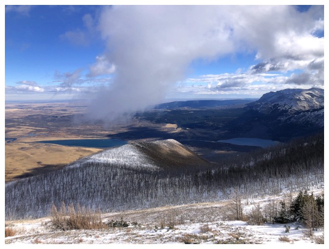
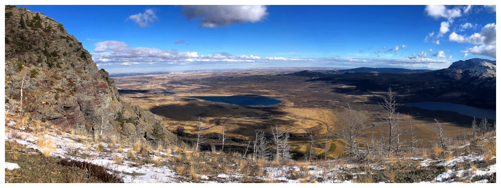
Lower Waterton Lake and the prairies
North view
Bertha Peak, Bertha Minor (my favourite trip in the park), Alderson, Buchanan Peak, Carthew, and Buchanan Ridge
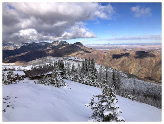
Heading down
Interesting cloud
Looking back at the summit
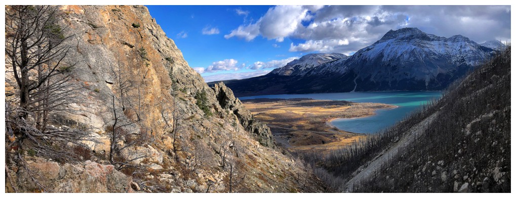
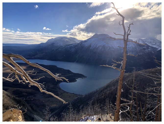
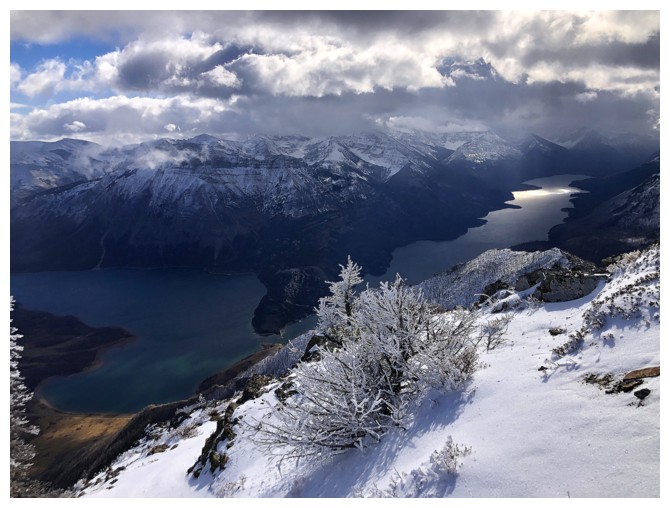
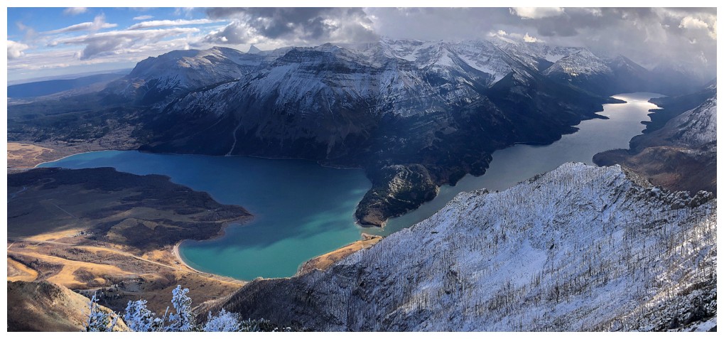
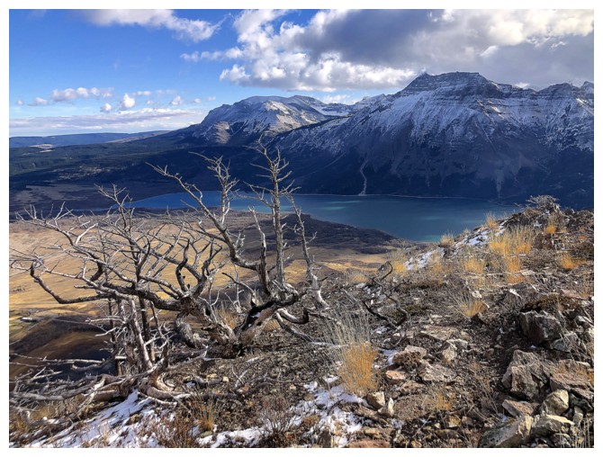
The views of the lakes were better on descent
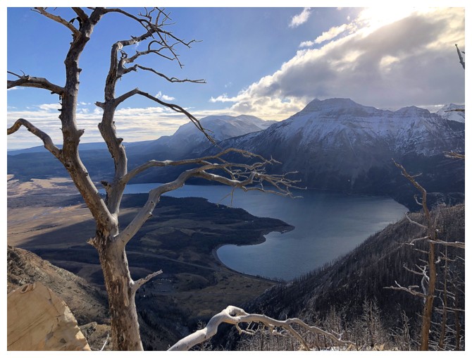
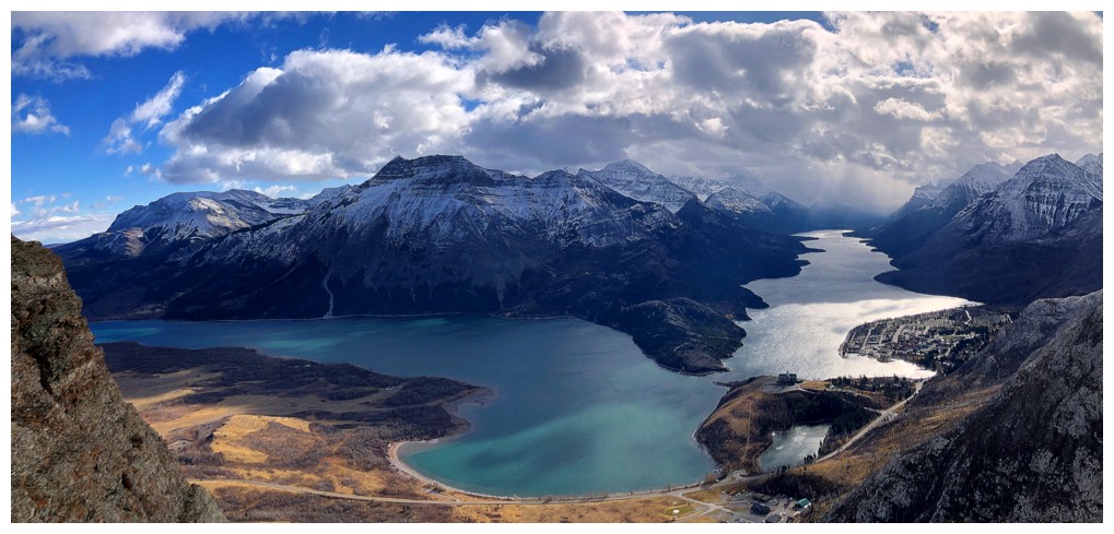
The Upper Lake stretching into America
Looking back at some of the easy part of the descent route
Kane's alternate descent route goes down there
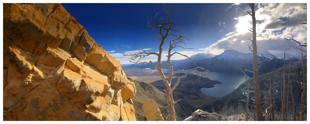
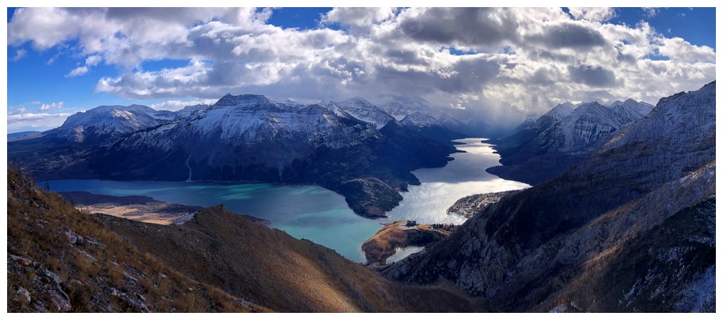
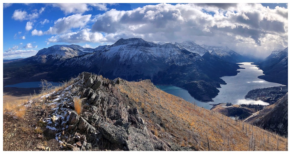
Best view of the lakes all day
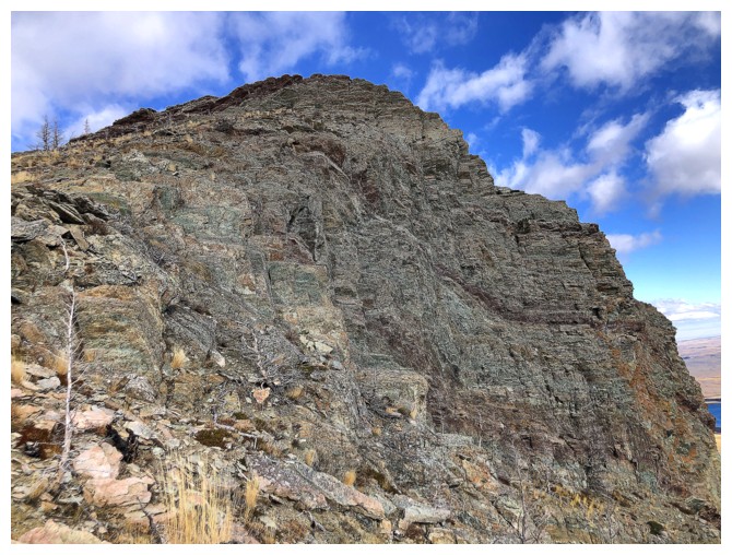
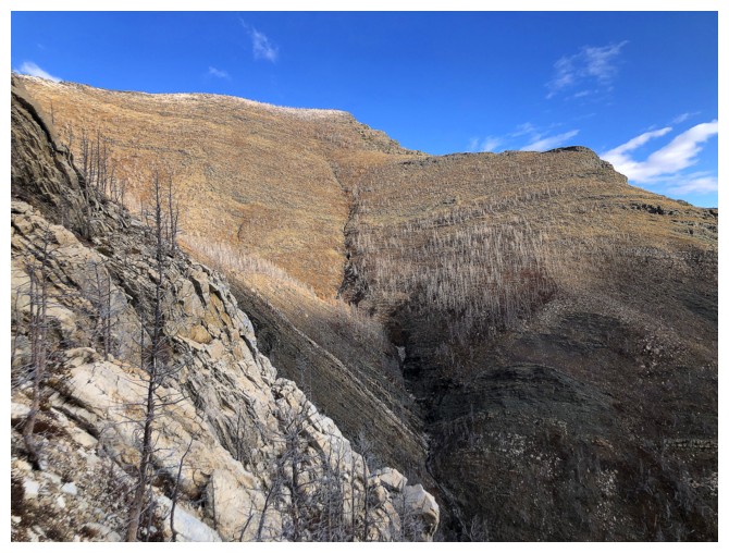
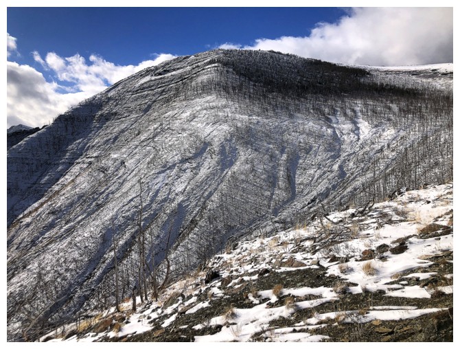
Impressive rock on the mountain's east face
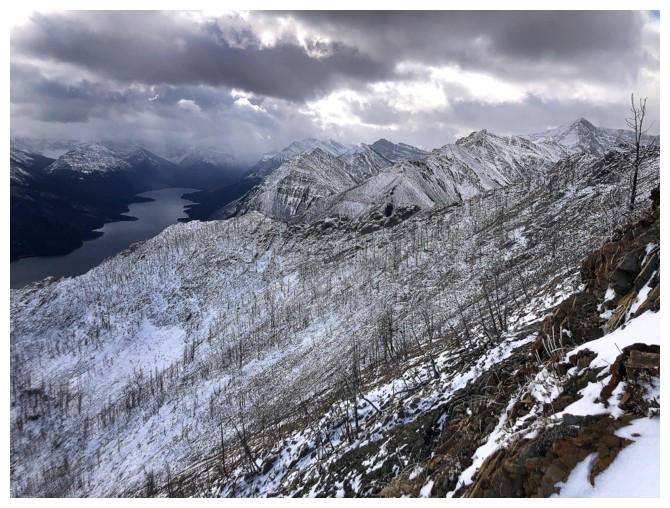
Decent view of my ascent route, going left to right in the centre. Tick Ridge at the left.
The descent route does require some route-finding, even having completed it several times
Back in the drainage
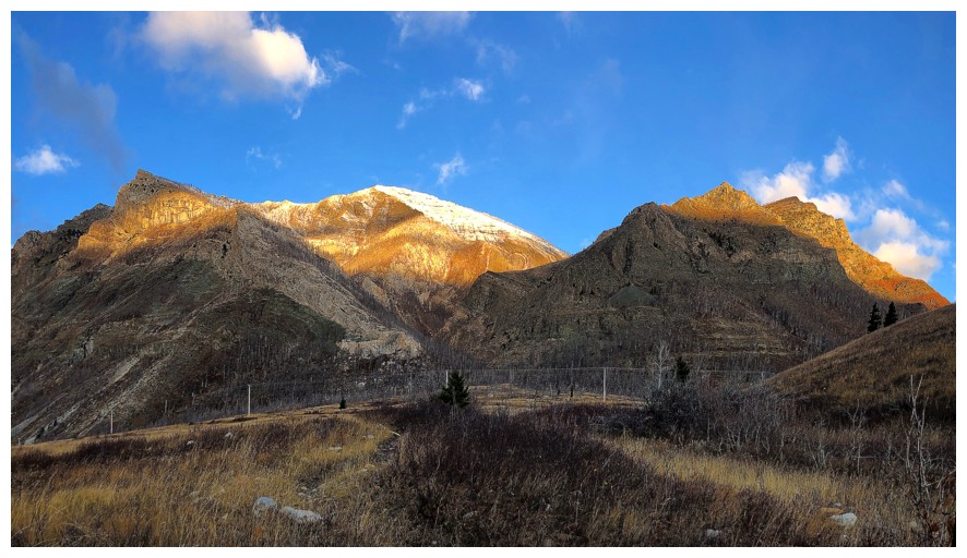
Pleasant view of Waterton, with the famed Prince of Wales Hotel near the right
Parting look at Crandell
The End
LOG