Mount Crandell V
January 2, 2022
Mountain height: 2378 m
Elevation gain: approximately
900 m
Ascent
time: 4 hours
Descent time: 2:40
Snowshoeing with Mark.
A fifth ascent of Crandell was not on the
agenda as we drove with Dave McMurray into Waterton. The original objective
was an attempt of Buchanan Northeast. Unfortunately, a major snow drift blocking the road on the
Akamina Parkway ended that bid long before we could even get close to the
mountain.
 After some discussion we settled on an ascent
of Mount Crandell, via Kane’s alternate descent route. Mark had never been on
this route and Dave and I had never attempted it in winter.
After some discussion we settled on an ascent
of Mount Crandell, via Kane’s alternate descent route. Mark had never been on
this route and Dave and I had never attempted it in winter.
It didn’t take long for the snowshoes to come
out, but once in the main drainage, travel was generally easy atop a firm layer
of consolidated snow. After about 30 minutes of travel, Dave started to notice
his toes were unusually cold. It turns out one of his boots was in the process
of “shuffling off its mortal coil” and unfortunately, he was forced to turn
around here and head home – no summit is worth losing a toe or two over!
Mark and I continued up the drainage, taking
in some terrific ice scenery along the way. We were expecting to be forced out
of the drainage at some point, but the snow allowed us to continue up, past the
Kane route. Eventually we did leave the drainage and slogged up a tedious and
foreshortened slope to the ridge above. This put us on familiar terrain. Our 2019
route had reached the same ridge, but from the east instead of the south.
The plod to the summit was easy and
predictable. Also predictable was another bone-chilling and consequently very
short summit stay. Given the completely cloudy skies, we weren’t too
disappointed about being hastily ushered off the summit by the wind shortly
after arriving. We returned the same way without too much difficulty.
Not our best day on Crandell and losing
Dave’s company at the beginning was a bummer, but still an interesting and
worthwhile winter route up an old favourite.
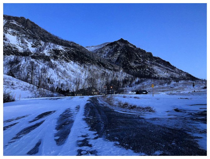
The starting point from the Linnet Lake parking lot
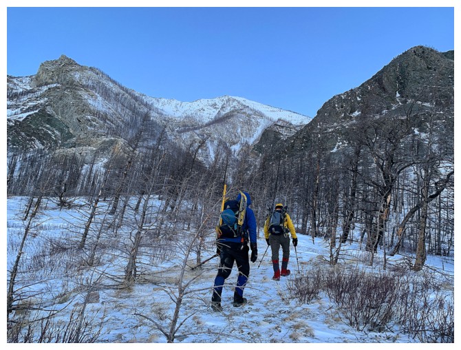
An easy hike into the main drainage
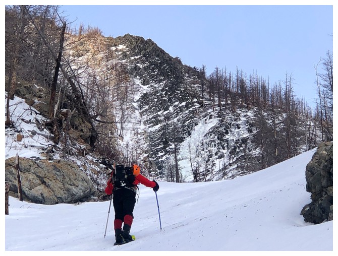
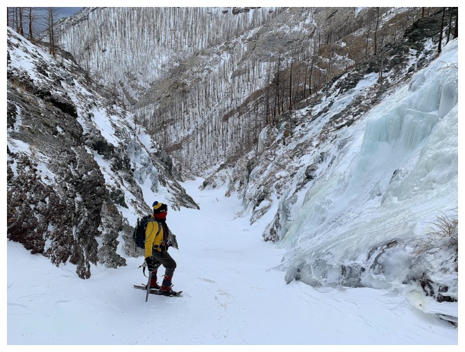
Snowshoes from here to the top
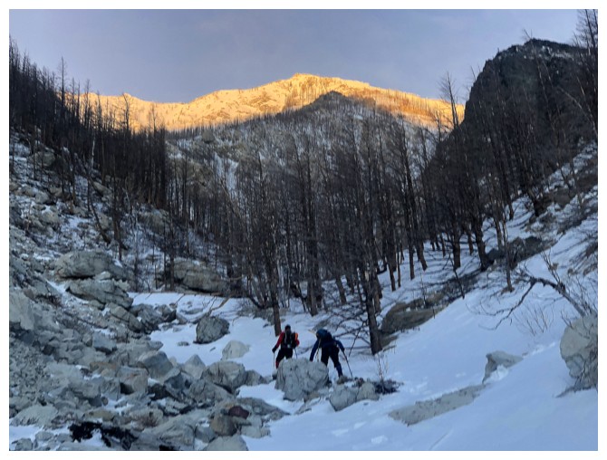
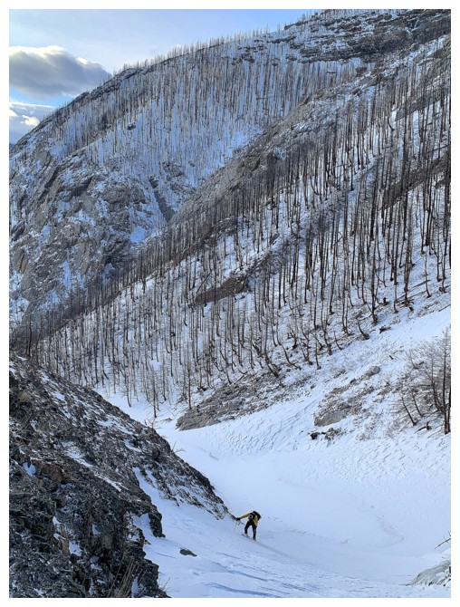
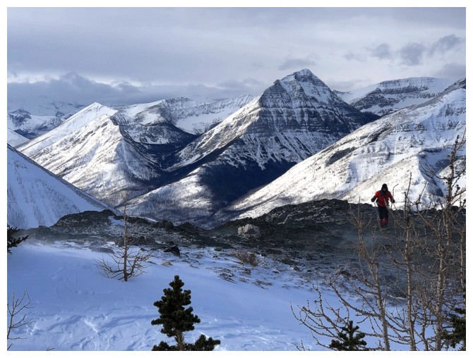
The Sun lights up the summit of the objective. Unfortunately, this was about the strongest the Sun's rays were all day.
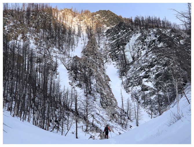
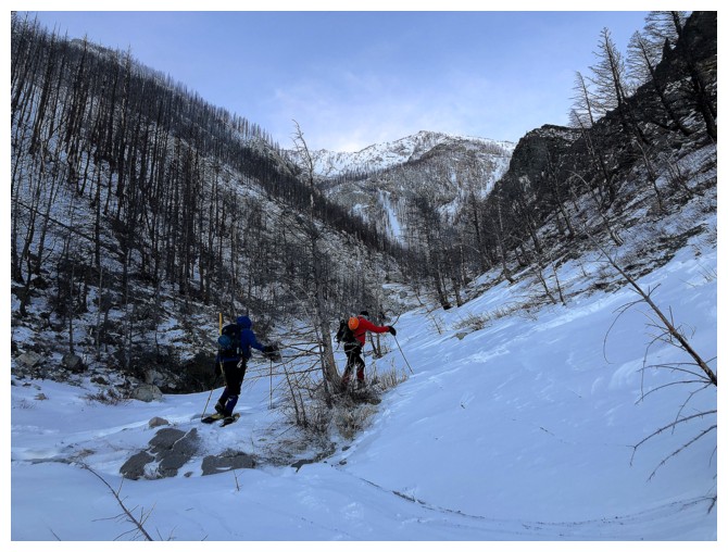
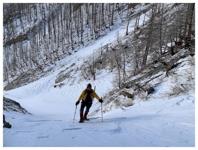
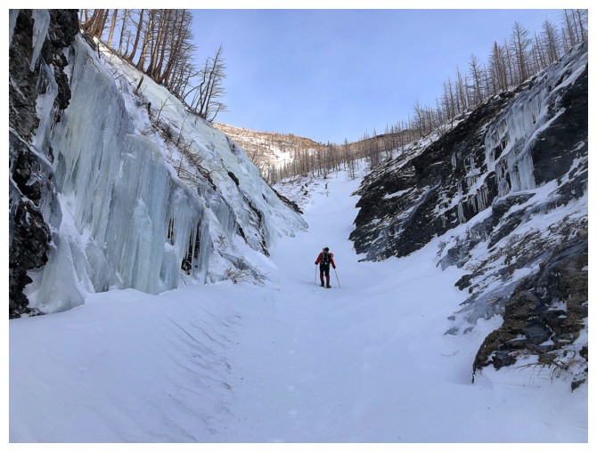
Mark's leads the way up the interesting drainage
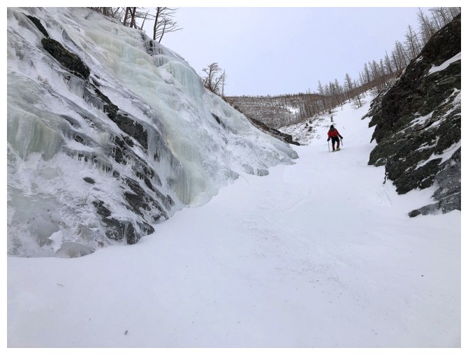
Mark is still leading. Sadly, Dave had turned around at this point.
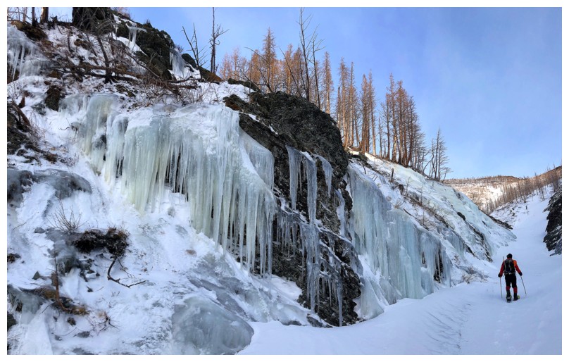
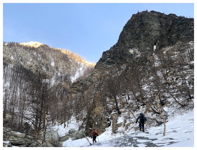
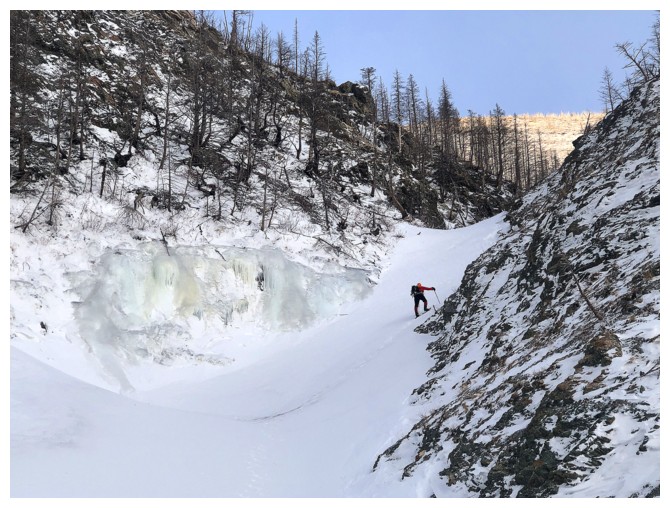
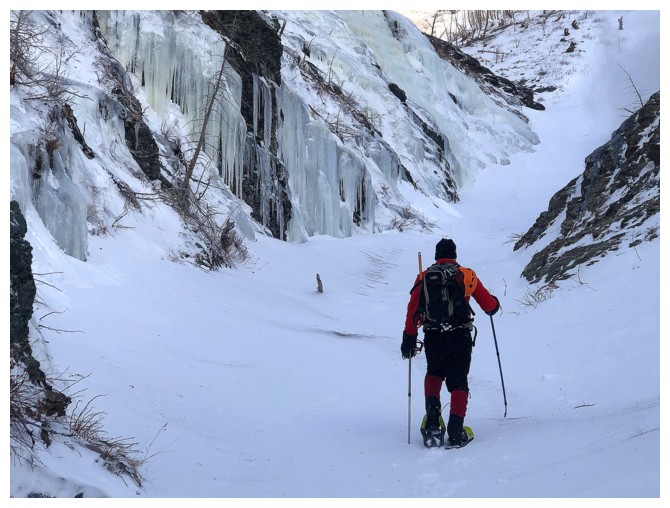
Approaching some ice smears on the left wall of the drainage
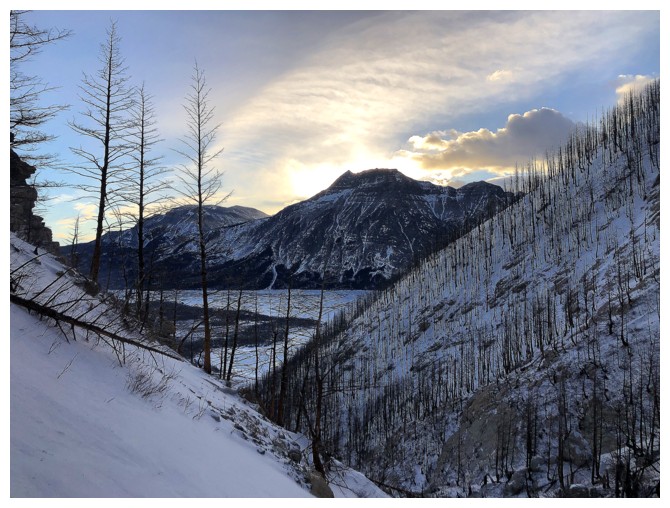
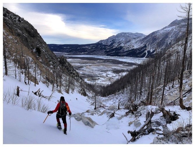
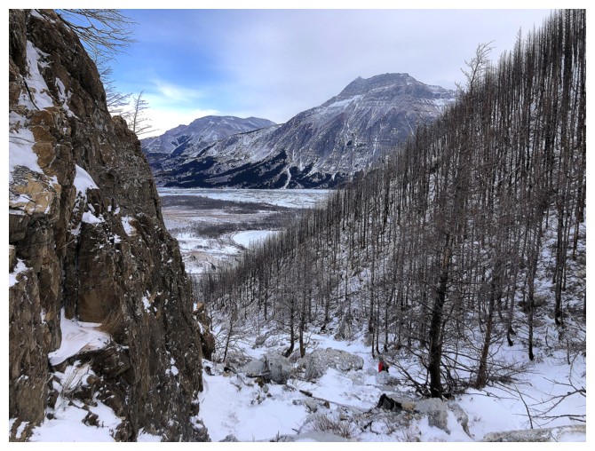
Looking back to Vimy Peak
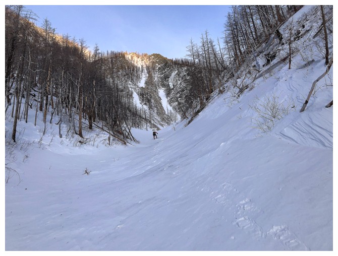
The hard snow here was perfect for snowshoes
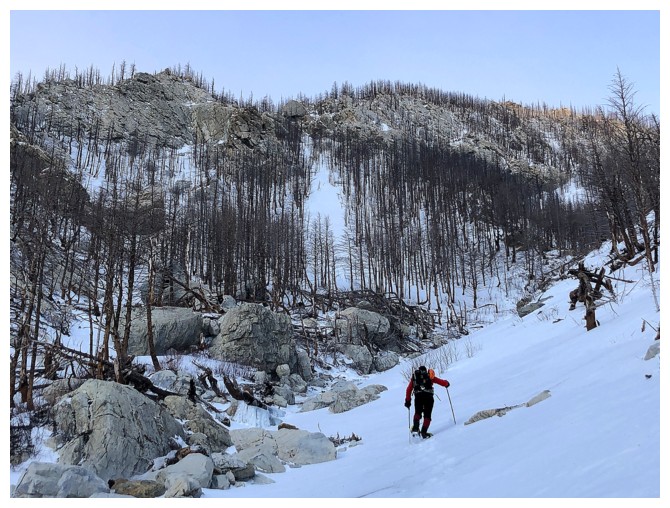
Mark tackles the steepest section of the drainage
My turn
Thank goodness for snowshoe crampons. Without them we would have had to put own our real crampons.
The wall of ice ahead was probably the highlight of the day
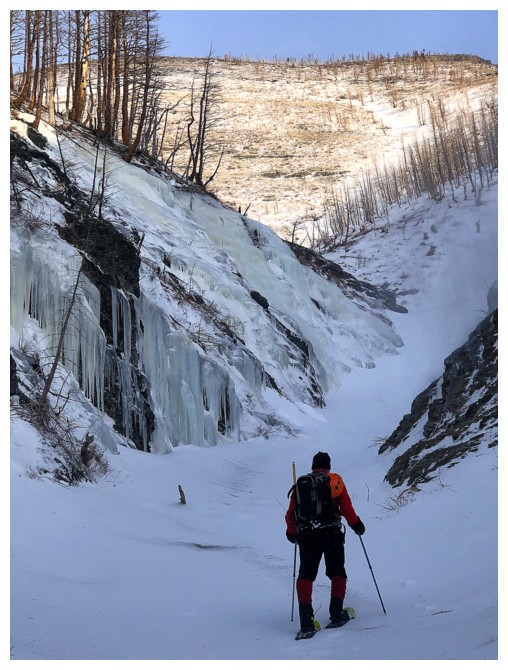
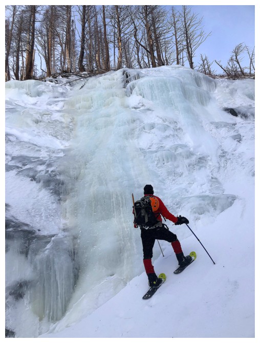
This part may be ice-climable
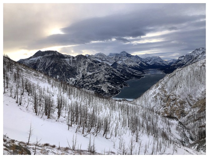
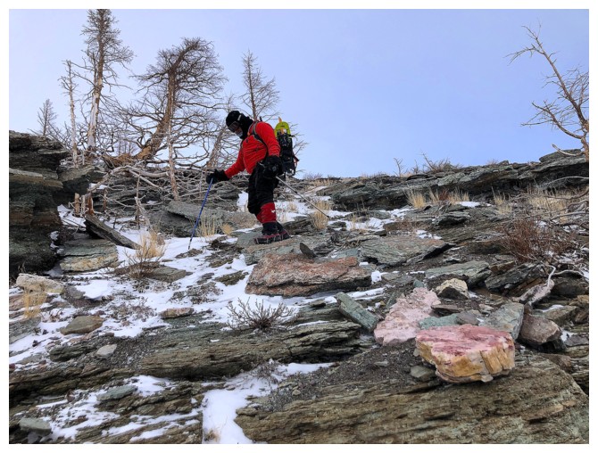
Out of the drainage and ascending the tedious slope to get to the ridge. However, the views certainly improved.
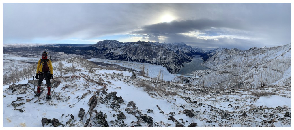
On the ridge
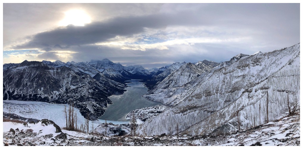
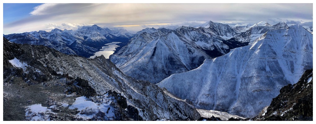
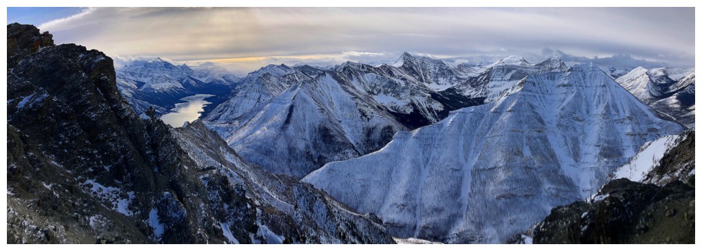
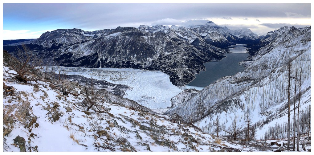
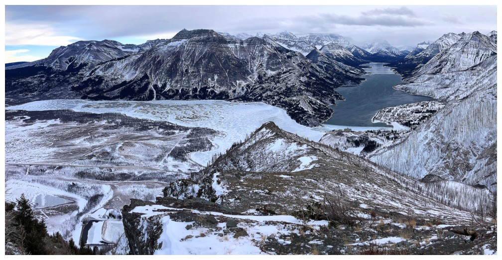
A cloudy, but still rewarding view of 2 of the 3 Waterton Lakes. Interestingly
the entire Middle Lake is frozen over, as is the south (American) end
of the Upper Lake. However, the Canadian section of the Upper
Lake is unfrozen. It's probably due to the wind.
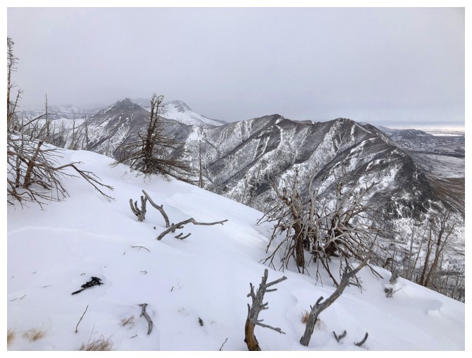
Dreary view of Bellevue Hill
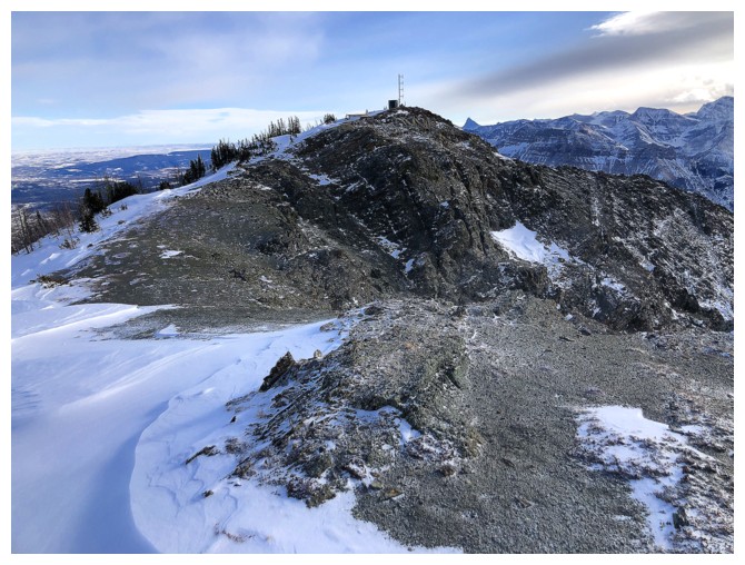
Starting the ridge traverse to the summit at the left
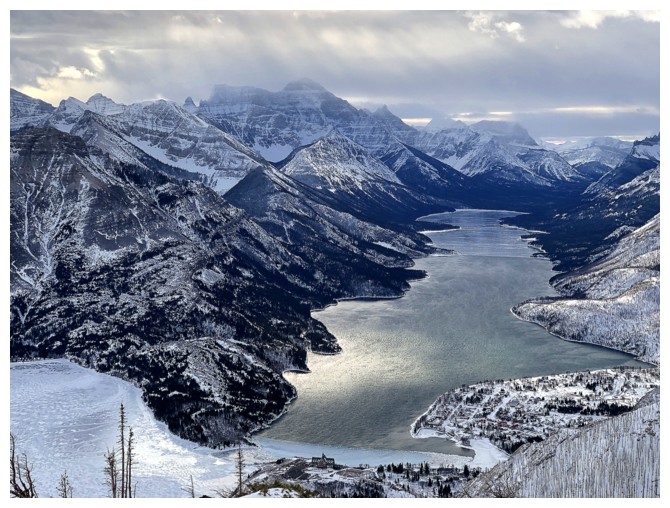
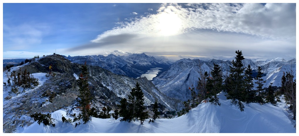
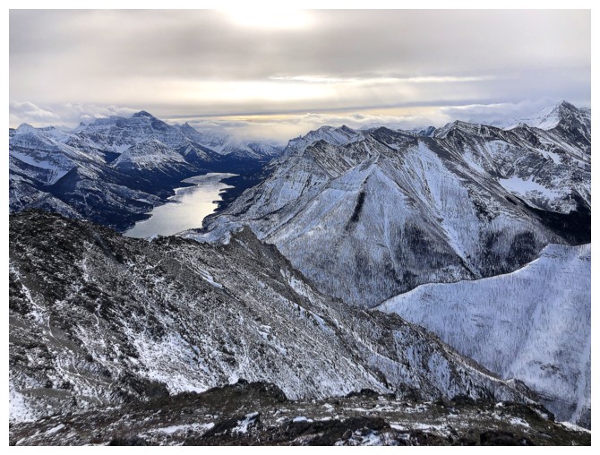
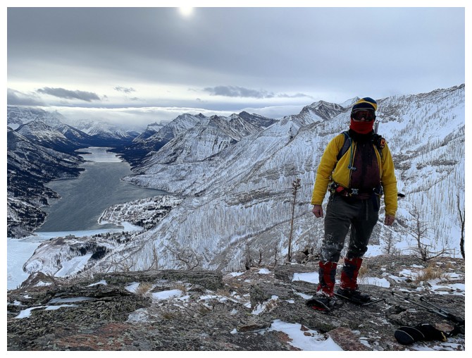
Closer look at Upper Waterton Lake and of course Mount Cleveland
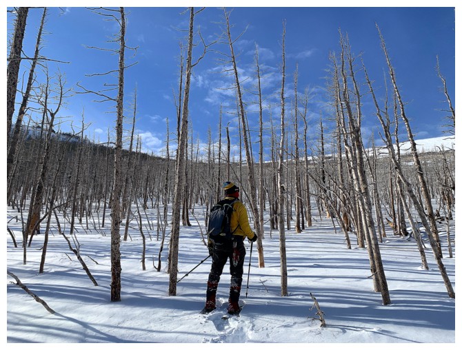
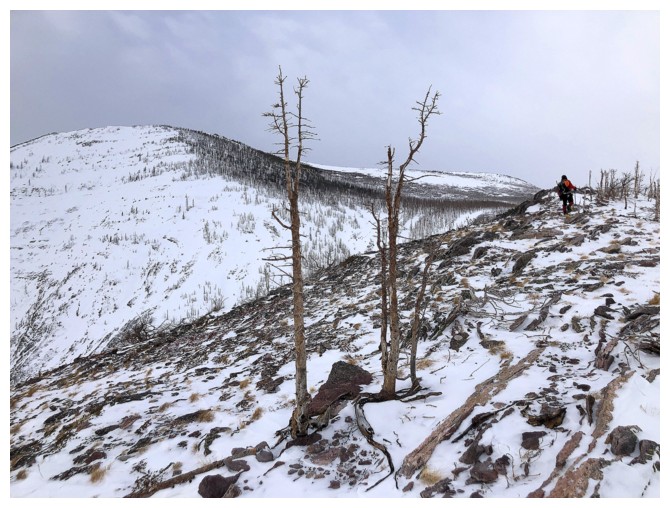
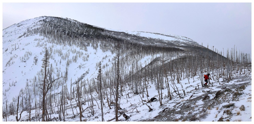
Instead of following the ridge along its horseshoe shape, we took a
more direct route to the summit, through this burned-out forest
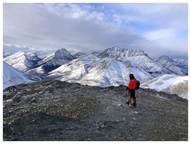
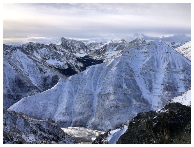
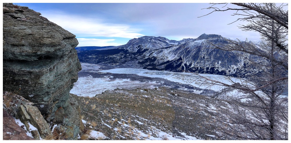
Taking in the westerly views towards Rowe, Lineham, Ruby Ridge, Blakiston, and Anderson
Similar view from a different location
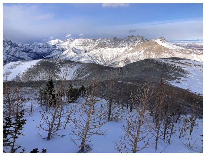
To the north sits the fantastic ridge that connects Bellevue Hill, Galwey, Rogan, Dungarvan, Dundy, Cloudy Ridge, Cloudowan, Glendowan, Newman, and Avion Ridge
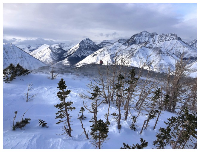
Nearing the summit and the view to the southwest is dramatically improving
Summit ahead
Clear skies to the east
Buchanan Northeast - the original objective of the day
The clouds did produce some interesting colours to the left
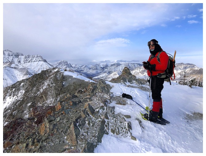
Mark at the summit
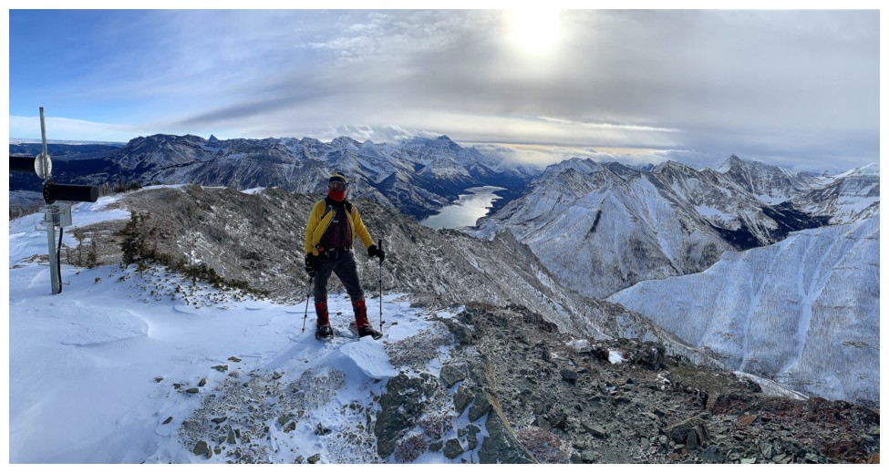
My turn at the top
Already back down to the ridge
Taking in a some good views while descending the ridge
At the end of the ridge
Looking down some of the descent route

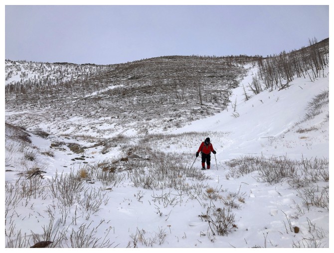
Starting the tedious but easy descent
Good old Sofa Mountain at the left
No snowshoes for this section
At the bottom and working our way back into the drainage
Admiring the ice once again
Halfway down
The end is in sight
The End
LOG