Mount Carthew V
May 22, 2022
Mountain height: 2630 m
Elevation gain: 1063
m
Round-trip
time: 8:07
Snowshoe
mountaineering with Mark and Dave.
There it is
again – that unusual two-word combination “snowshoe mountaineering”! I’m not
sure I can even define what it is, but I do know (and I’m sure Dave and Mark
agree) that at least one section of the day’s ascent far exceeded what any sane
person would call “snowshoeing”… more to come.
The stars seemed
to align for this trip: Mark had never been up Mount Carthew; Dave had reached
the summit in 2015, but in a white-out; and I was excited to repeat the route I
had used in April of 2021. 13 months earlier, the large amount of snow on the
mountain had prevented me from completing a loop route via Carthew Minor. 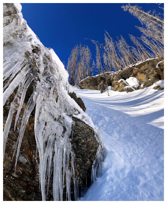 I
(very) mistakenly thought that a late May ascent would essentially be snow-free
on the ridge, thus allowing the traverse – I couldn’t have been more wrong
about the amount of snow!
All forecasts
predicted the clouds to roll in around noon and so by 6:15 am, we were fording
Cameron Creek. Unfortunately, the subsidiary creek that I followed a year
earlier was not snow covered and would be very difficult to negotiate in its present condition. Instead, we
gained elevation to the right, eventually reaching a bench below a significant
rock band. The views at this point were already pretty sweet and would only get
better.
 Approaching the
rock band, we hoped that it would layback and a route up might be revealed.
Of course, it did exactly the opposite and became increasingly intimidating as
we neared the base. A route around the right side would have required a huge
elevation loss and so we started traversing the left side. Maybe a potential
weakness would appear but if not, at least we were heading in the direction of
the steep snow gully that granted me access to the ridge previously.
We passed one
potential route up through the rock band but couldn’t see if it went all the
way to the top. Continuing the traverse, an easier-looking route up a steep
gully was soon reached. As everyone knows, “easier” can be a very subjective
term in the mountains. The gully was superb but reared up to about 50 degrees
near the top. Snowshoeing up 50-degree snow slopes is not normal!!! Thankfully the very
deep but supportive snow allowed us to kick big bucket steps all the way up and
we felt quite secure throughout.
The big pay-off
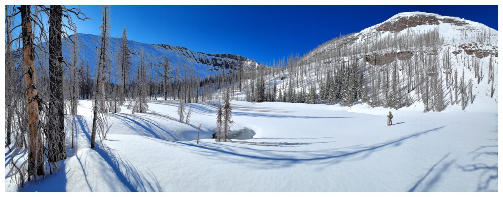
for discovering this new route was the magnificent terrain above. A small,
snow-covered lake below a significant outlier of Carthew, sporting a huge
cornice and colourful rock prompted a short stay and three wildly “clicking
cameras” (an increasingly antiquated phrase, given the rise of phone cameras,
as opposed to real cameras).
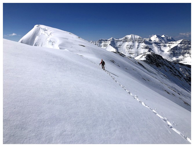
From this point
the summit was an easy, foreshortened slog away – the operative term being
foreshortened! Mark took the lead, still wearing snowshoes, Dave went to boots
only, and, with one broken snowshoe, I switched to crampons. Apparently, the
senior member of our group definitely wanted to get to the top before the
weather broke down. Mark powered up the ridge at a pace neither Dave nor I
could match. Maybe it was the Red Bull he consumed at the bottom of the slope!
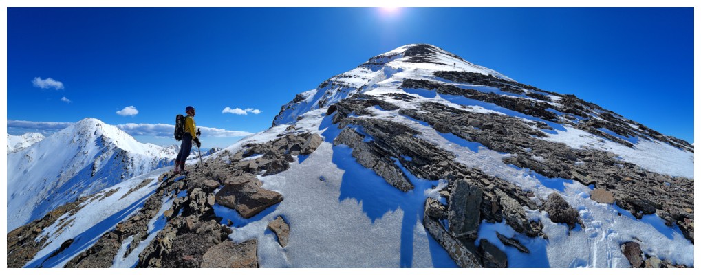
Upon reaching
the summit ridge, Mark waited for Dave and me and we proceeded with extra care
to the summit. The amount of snow and size of the cornices, for this time of
the year, was shocking. Needless to say, an outstanding, Himalayan-like view
awaited at the top, snow-plastered peaks in every direction. Mark’s feverish
pace had ensured we would get there long before the clouds arrived, and we
enjoyed the near flawless view, and some much needed recuperative time.
The severe
amount of snow, once again, precluded an attempt of the loop route and we
decided to retrace our steps down the mountain. Crampons and axes were used in
place of snowshoes for the steep gully, but otherwise the descent was
straightforward and generally easy. Good thing, because we were all reaching a
level of exhaustion unexpected for a peak of Carthew’s modest stature.
A brilliant and
super rewarding day on one of Waterton’s finest.
Click HERE to see Dave's awesome report.
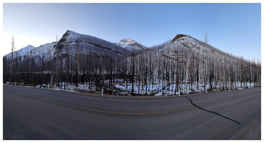
At
the pull-out where the trip begins. Carthew in the centre, Buchanan
Ridge just left, and Buchanan Northeast at the far left (photo by Dave)
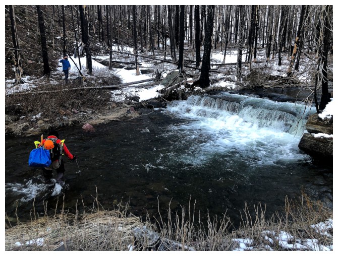
Dave has already crossed Cameron Creek in shoes. Mark follows in hip-waders.
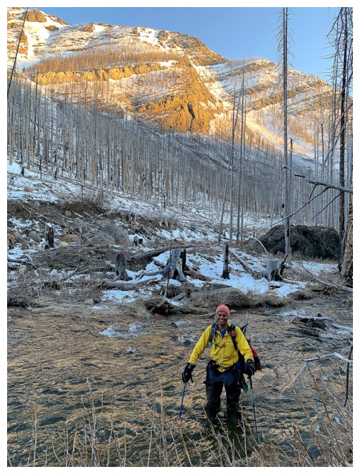
I used hip-waders too (photo by Mark)
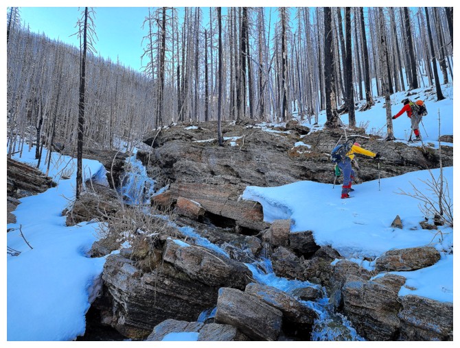
The creek is already more open than expected (photo by Dave)
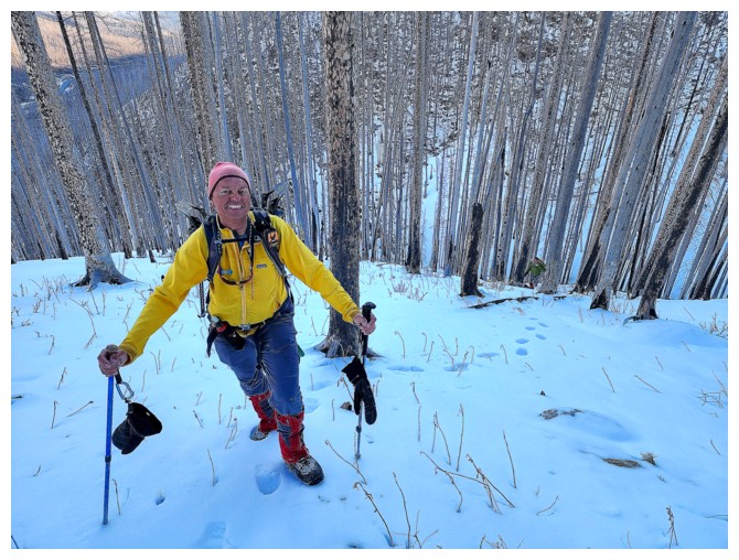
Quite happy to be here (photo by Dave)
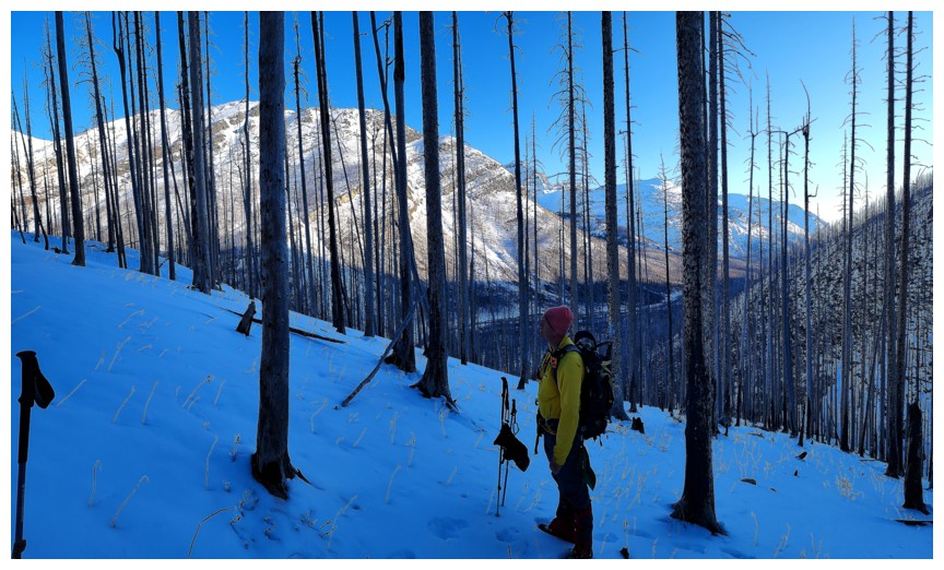
Still intrigued by the views you get, even in treed areas, after the Kenow fire (photo by Dave)
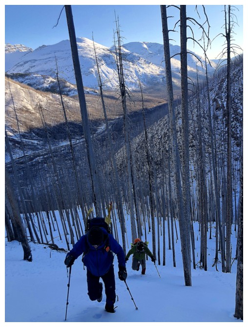
The boys ascend steep terrain to get up to the bench above
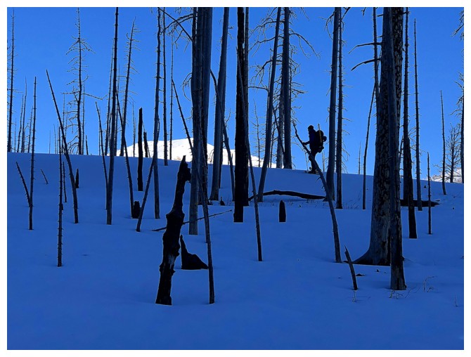
Dave gets there first
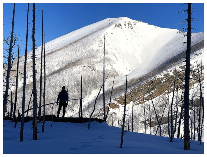
Dave and Mount Rowe. The direct route to Rowe's summit goes up the left side of the drainage and is considerably easier after Kenow.
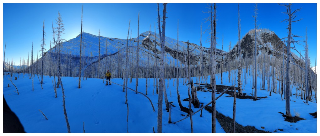
Catching up to Dave (photo by Dave)
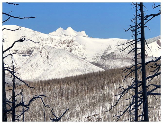
First glimpse of amazing Long Knife Peak
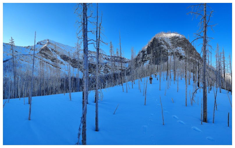
Heading towards the rock band and hoping there's a weakness up it, but no such luck (photo by Dave)
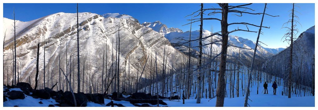
Mark and Dave follow
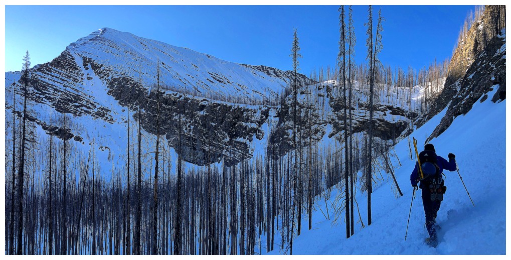
The start of a fairly long traverse to look for a weakness in the rock band
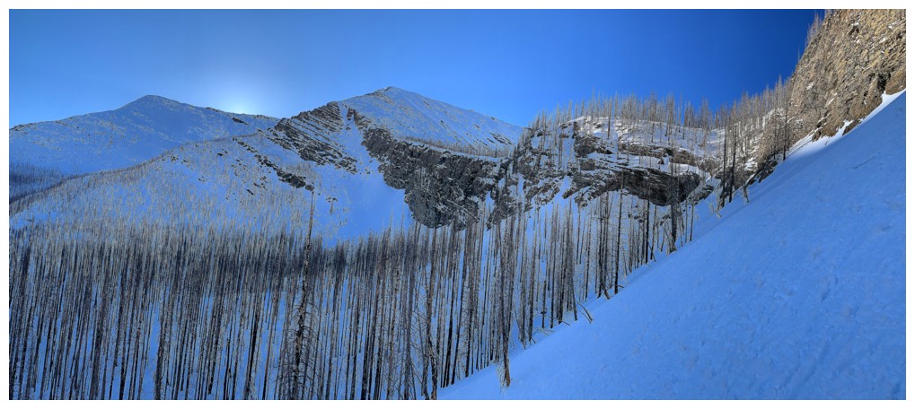
Buchanan and Carthew. The route I took a year earlier goes up the snow gully alongside the rock band (photo by Mark)
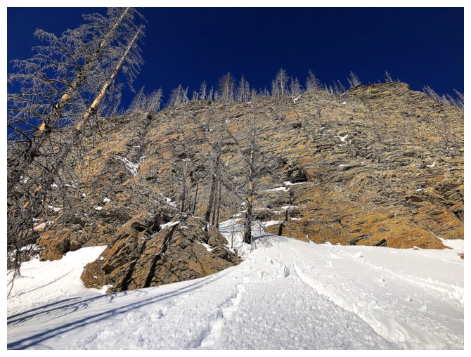
Stunning rock above us
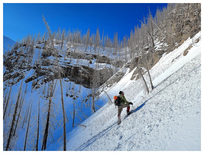
Mark checks out the first weakness. We decided to look for an easier
route as this one was very steep and the whole route not visible (photo by Dave).
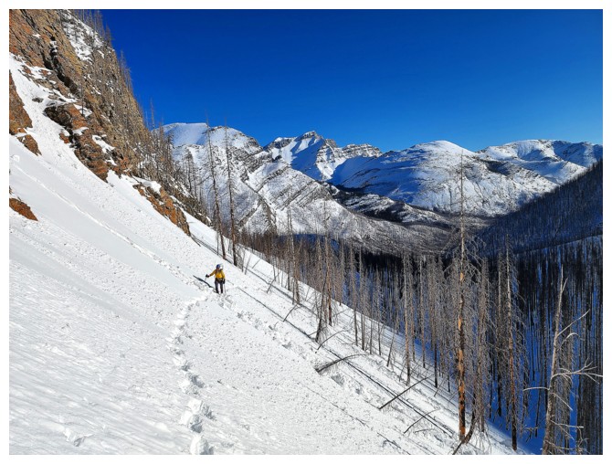
I'm lagging behind as usual (photo by Dave)
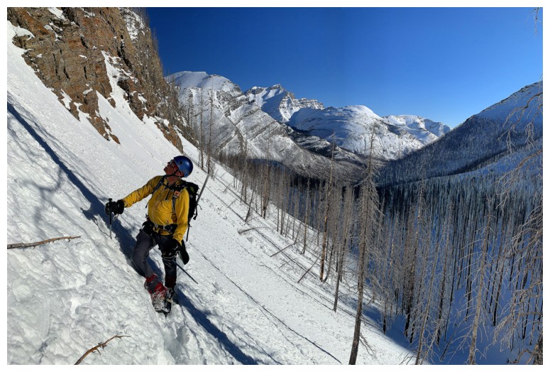
My turn to inspect the first weakness (as least I've caught up!) (photo by Mark)
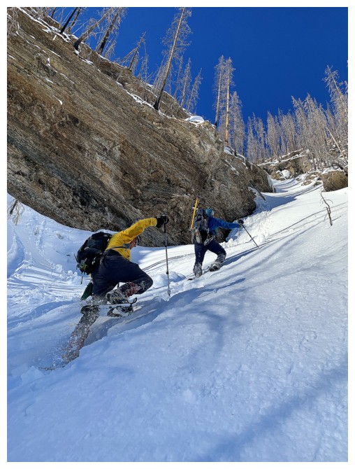
The second weakness looked easier but was still very steep (photo by Mark)
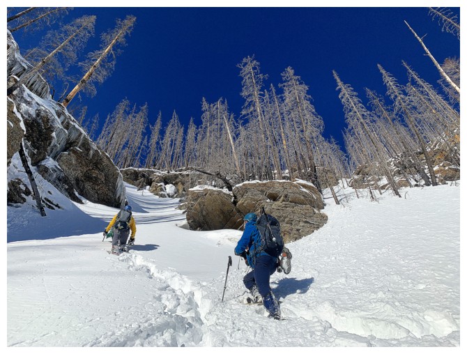
Exquisite scenery as we make our way up the lower section (photo by Mark)
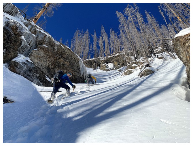
The grade increases (photo by Mark)
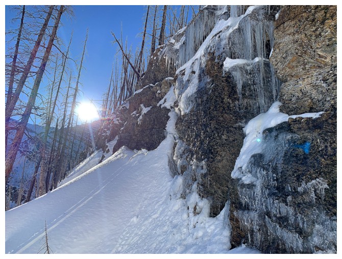
Late May and winter has not left the building (photo by Mark)
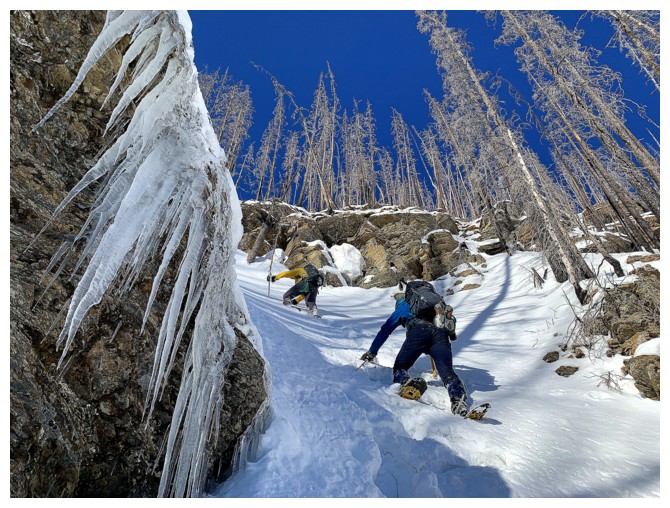
Contrary
to appearance, this slope is extremely steep (especially wearing
snowshoes) at about 50 degrees. Thankfully the snow was perfect for
making huge bucket-steps (photo by Mark)
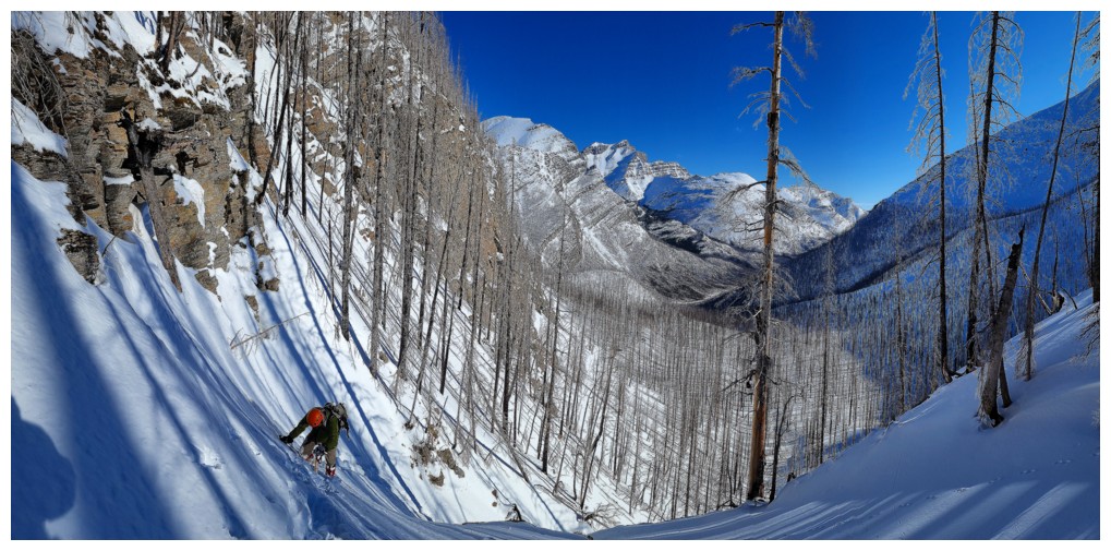
Mark nears the top of the steep section (photo by Dave)
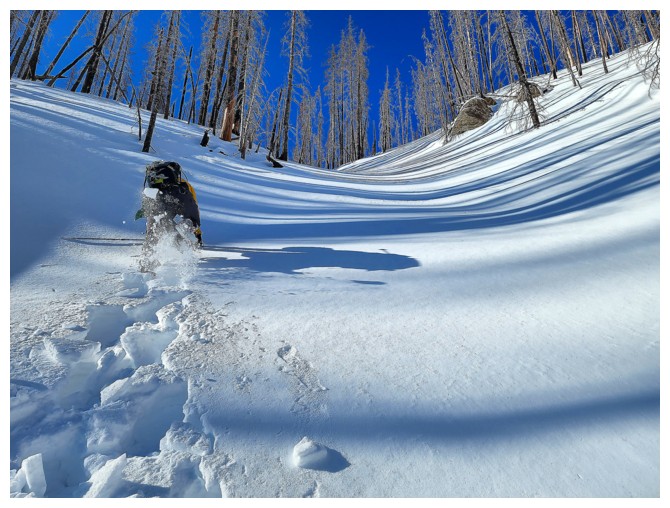
Gentler terrain leads to the hanging valley above (photo by Dave)
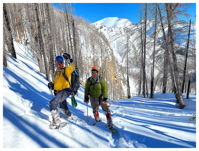
Showing off the hiking pole that I broke while ascending the steep gully (photo by Dave)
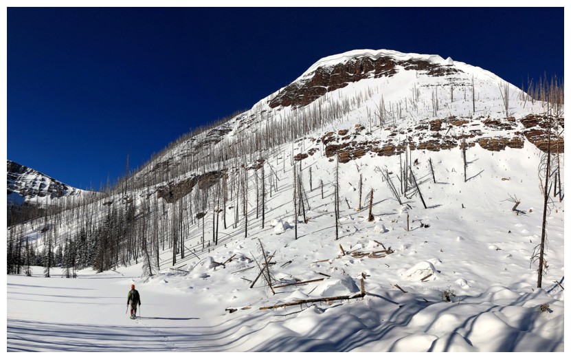
Mark and a Carthew outlier that will likely see an attempt from me in
the near future. From the summit of the outlier, it appears to be an
easy ridgewalk to the col between Carthew and Carthew Minor.
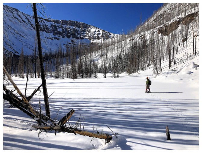
Mark on the small and still snow-covered lake
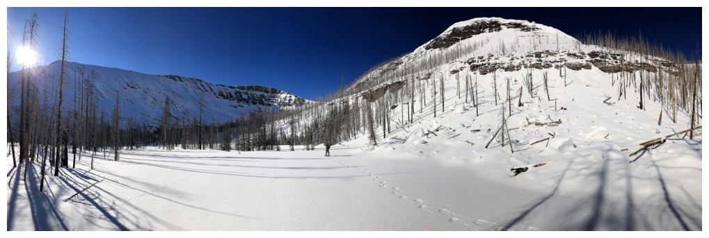
Carthew at the left, outlier at the right
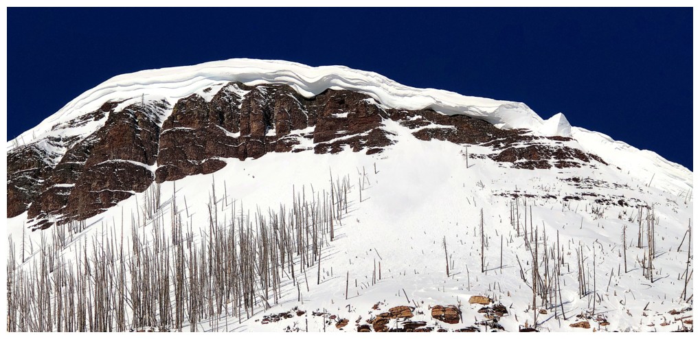
The outlier and its cornice

Great pano of the area (photo by Dave)
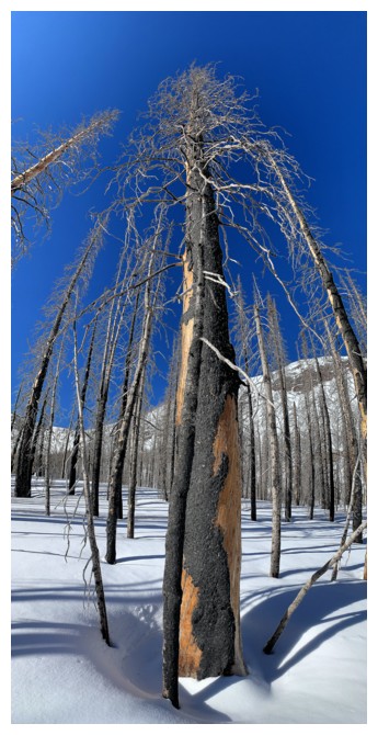
Looking up one of the victims of the Kenow fire (photo by Mark)
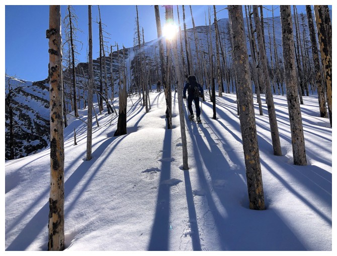
Leaving the valley and heading over to Carthew's ascent ridge
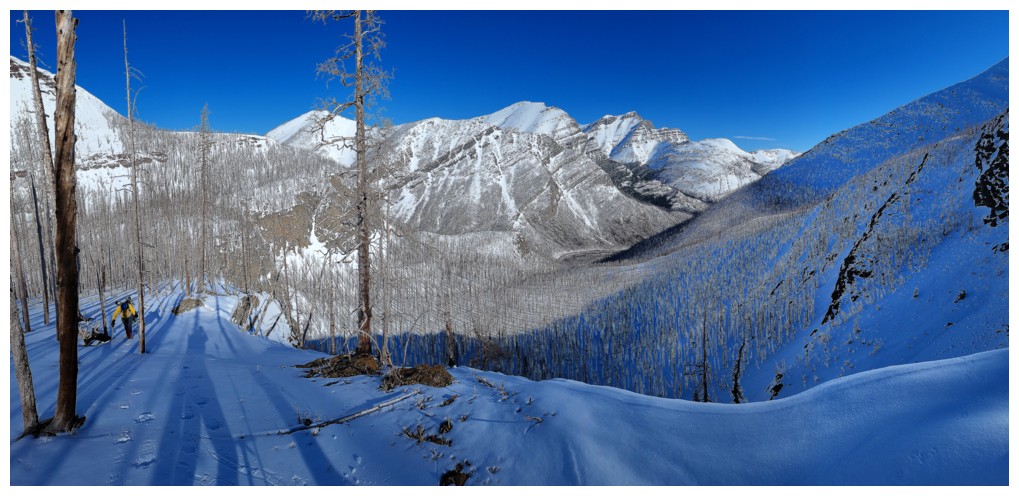
On the ridge and enjoying ever-improving views (photo by Dave)
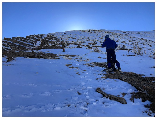
Mark and Dave prepare for a very shortened ascent ahead
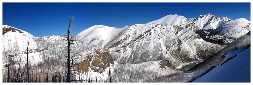
Left to right: Rowe, Lineham, Blakiston, and Ruby Ridge

And he's off! That's the last I would see of Mark (far left) until almost at the summit
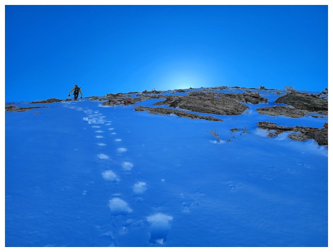
Though
obviously not 50 degrees these slopes were fairly steep too. Kudos to
Mark for doing the entire ascent wearing snowshoes (an amazing set of aggressive Tubbs Flex VRT's helps - best snowshoe on the market, in my opinion) (photo by Dave)
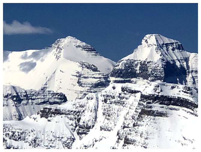
The obligatory photo of mounts Kintla and Kinnerly
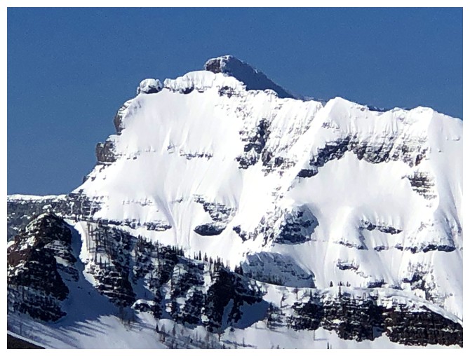
Same for Custer
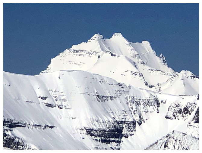
Same for Long Knife
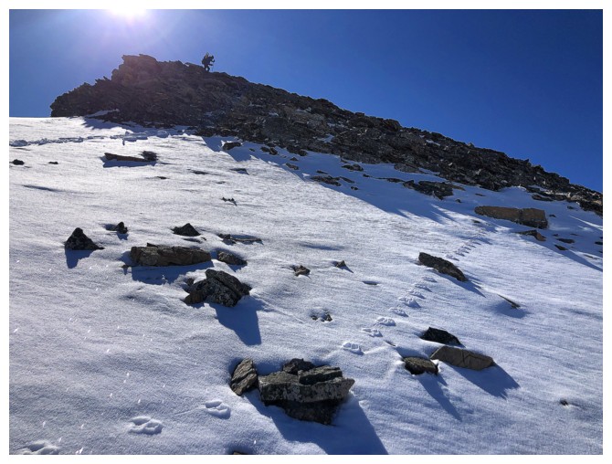
Dave tops out on a false summit
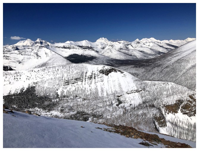
That Carthew outlier in the foreground looks very inviting
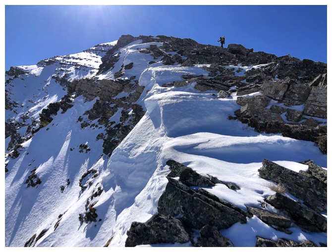
A little cornice scenery on our route
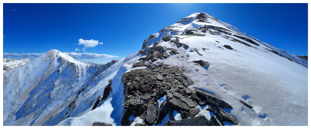
Mark is still well ahead but at least we are approaching Buchanan Ridge height (left) (photo by Dave)
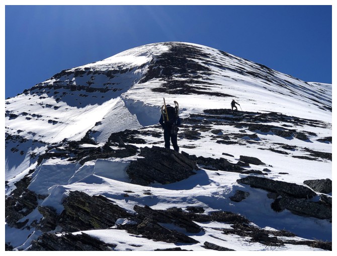
Almost caught up to Dave, but Mark isn't stopping
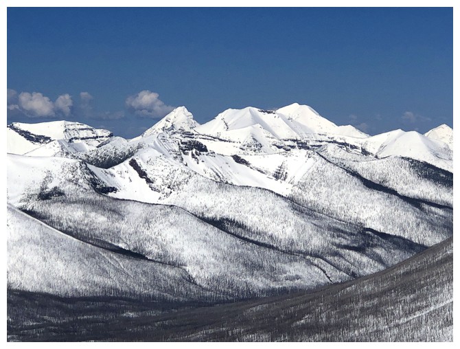
King Edward (left) and Starvation peaks
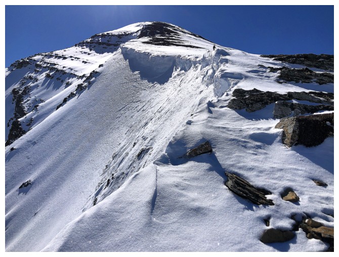
Beautiful, snowy ridge
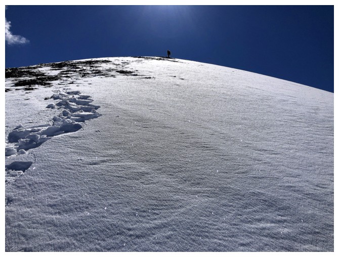
Mark reaches the summit ridge
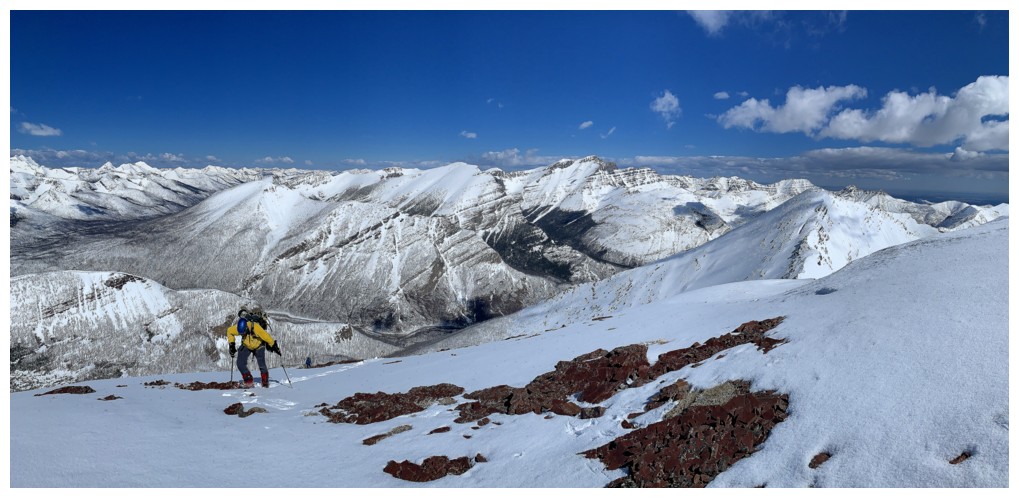
Final few steps to the ridge for me (photo by Mark)
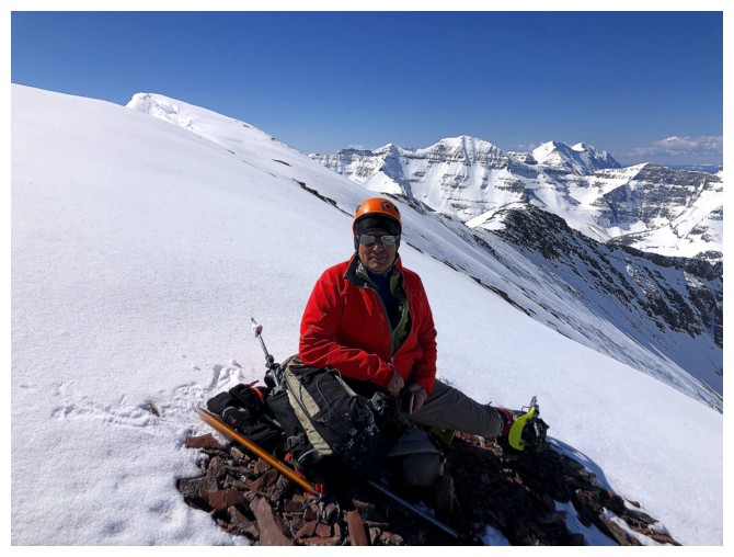
Mark found a solid place to rest while waiting for me and Dave

View from the summit ridge
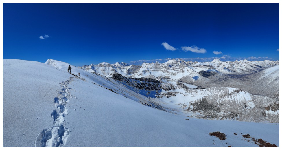
Dave and I head towards the summit, staying well away from the edge (photo by Mark)
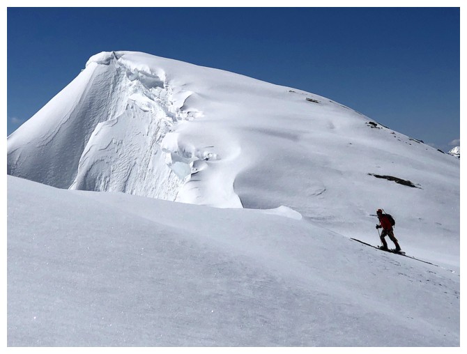
Mark makes his way to the edge of the ridge
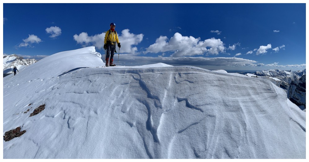
Near the edge, but standing on solid rock (photo by Mark)
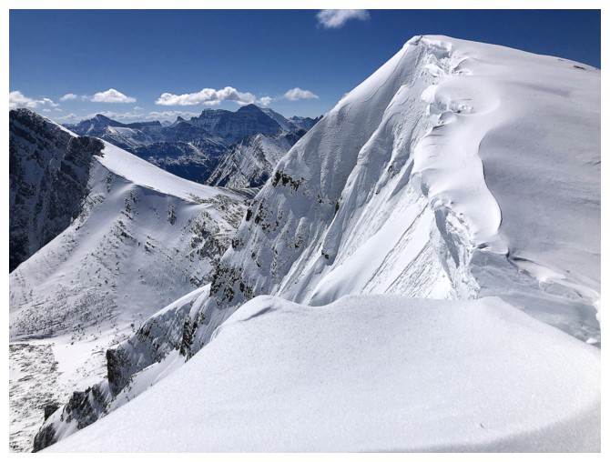
The snow-plastered east face of Carthew looks more Himalayan than Canadian Rockies
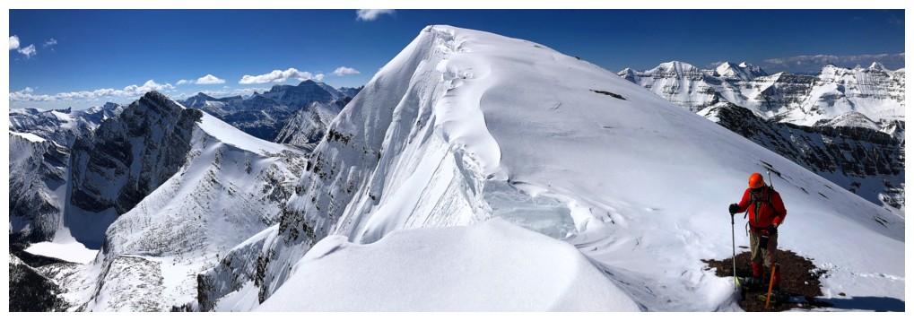
Same as above. The summit is only minutes away.

Dave and I finish the ascent (photo by Mark)
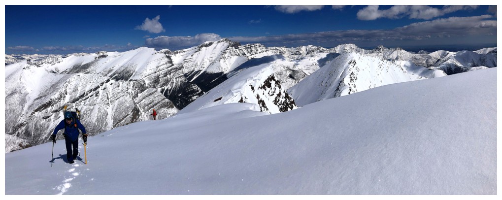
Back to staying away from the edge for the final steps
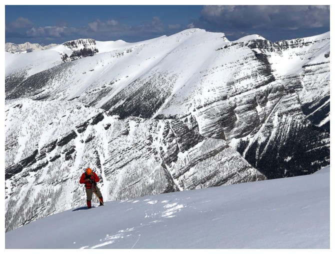
Mark and Lineham
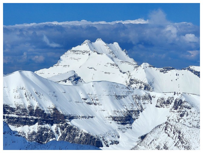
Here come the clouds, building up behind Long Knife (photo by Dave)
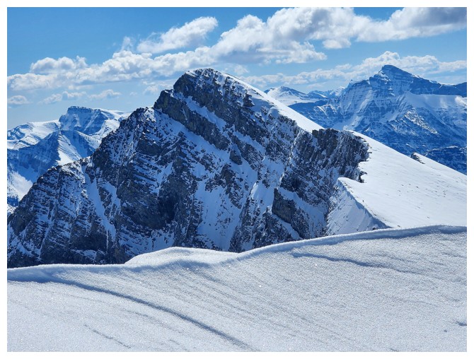
The cornice limits the view of Mount Alderson (photo by Dave)
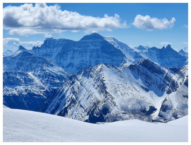
Hello Cleveland!! (photo by Dave)
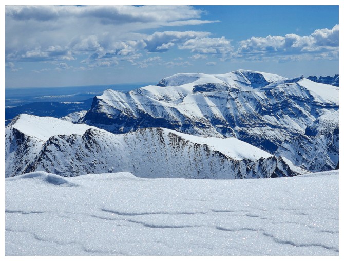
Bertha Peak (left middle), Vimy Peak, and Sofa Mountain are highlights of the view to the southeast (photo by Dave)
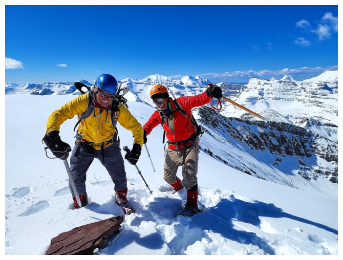
Immature summit celebration unbecoming of two men in their mid 50's (photo by Dave)
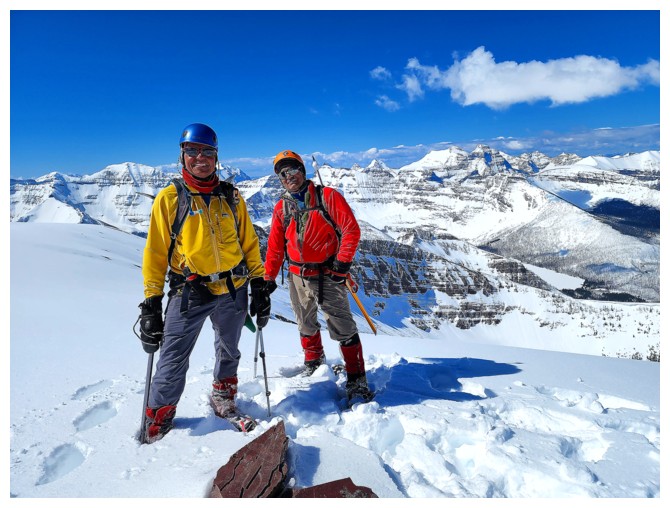
That's better - act your age, old men! (photo by Dave)
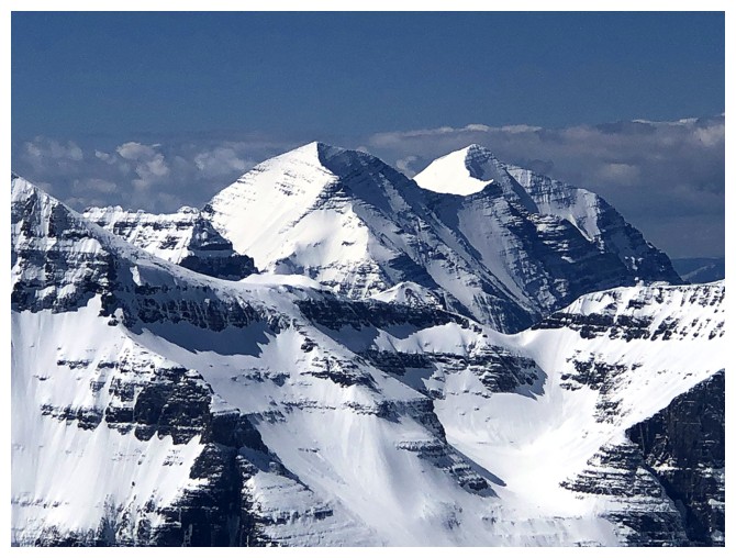
Curvaceous Mount Carter and Rainbow Peak in Glacier National Park

Dave checks out the view into Montana
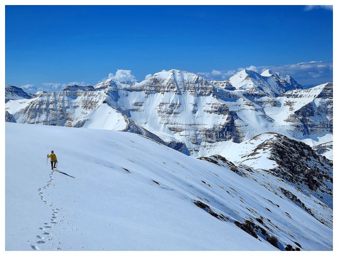
Heading down the ridge to see if I can get a better view of Mount Alderson (photo by Dave)
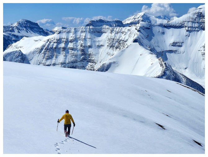
Same as above (photo by Dave)
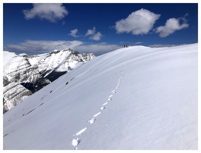
Dave and Mark stayed at the summit
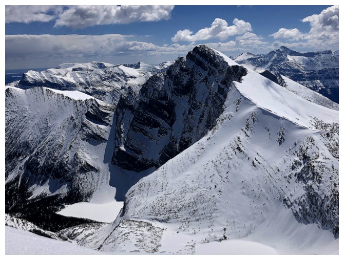
Better view of Alderson and it's namesake lake

The snow-covered Carthew Lakes are visible too
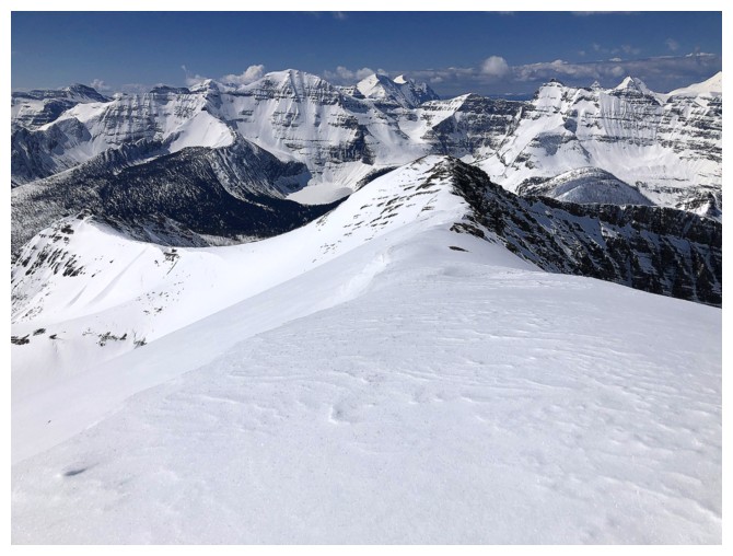
Looking down the ridge we intended to follow. Too many unknowns with all the snow and not worth the risk on this day.
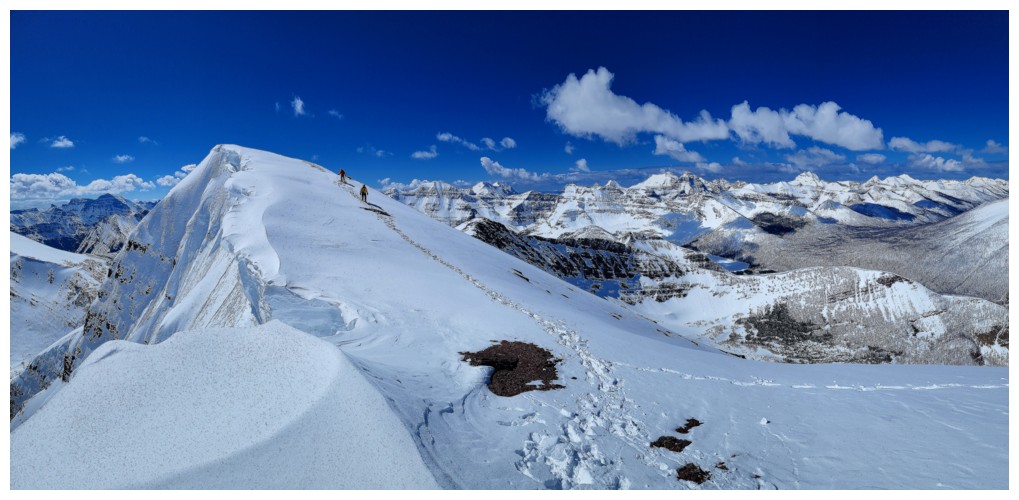
Descent time (photo by Dave)
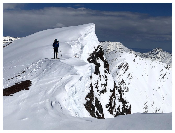
Dave takes a last look from our little, rocky viewpoint
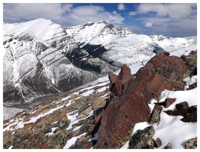
Some red argillite. Since the top half of Carthew is essentially a
massive chunk of the colourful rock I was expecting a barrage of red
argillite photos during the day - the snow ensured those opportunities
were limited.
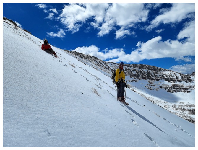
The "near seniors" rest on descent. Good representation of the angle of the route (photo by Dave).
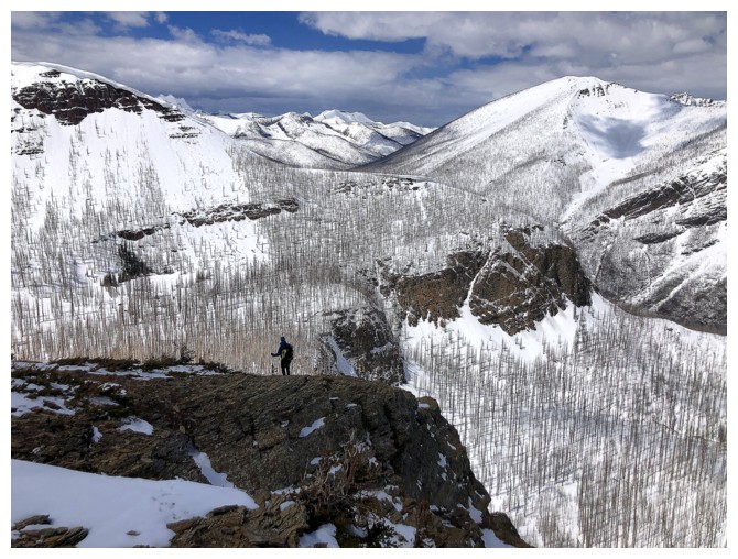
Dave looks for other ways down the mountain that would avoid having to descend the steep gully we came up
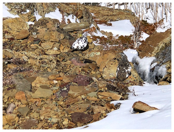
Two ptarmigans - one is obvious, the other is quite well camouflaged
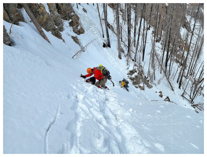
Top of the steep gully. Crampons felt much better than snowshoes going down this slope (photo by Dave)
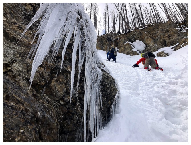

What a difference a blue sky makes! Descent photo on the left, ascent on the right.
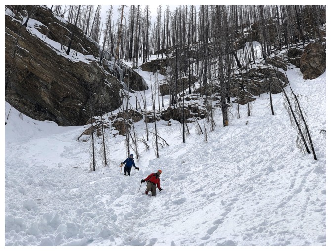
Down the steep section and onto easier terrain
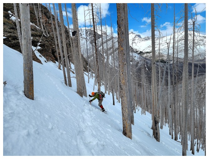
Not out of the woods yet, however. Still lots of steep terrain to traverse and descend. (photo by Dave)
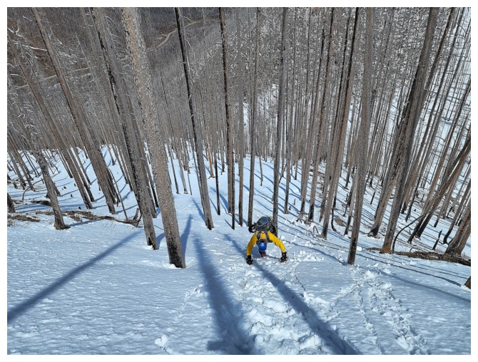
Steep enough to warrant facing into the slope (photo by Dave)
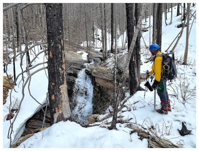
Back at the open creek (photo by Dave)
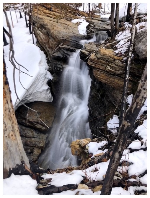
Obligatory long exposure photo
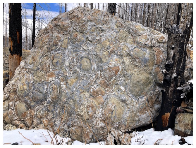
Stromatolites
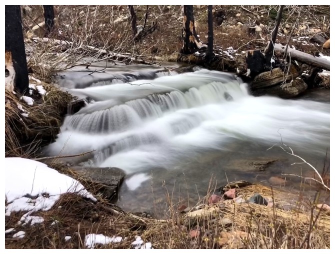
Back at Cameron Creek
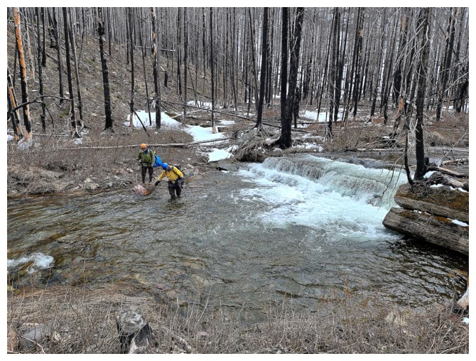
Last few steps of an amazing day of "snowshoe mountaineering" and other things! (photo by Dave)
The End
LOG
