The Croissant X
November 18, 2023
Mountain height: 2307 m
Elevation gain:
350 m
Round-trip time: 3:30
Solo
scramble.
A late morning
start limited objectives to something relatively short and it almost goes
without saying that The Croissant would be the route of choice. The tasty little
peak is as reliable as the rising Sun in providing numerous short and super scenic
routes to its summit.
Nothing
considerably new to report. I took snippets of several different routes just to
keep things interesting. One short section near the beginning was new to me,
but otherwise the trip was on familiar terrain. Of course, that did little to
impair my enjoyment of this gem of a big hill!
The Croissant
moves onto the small but growing list of double-digit ascents!

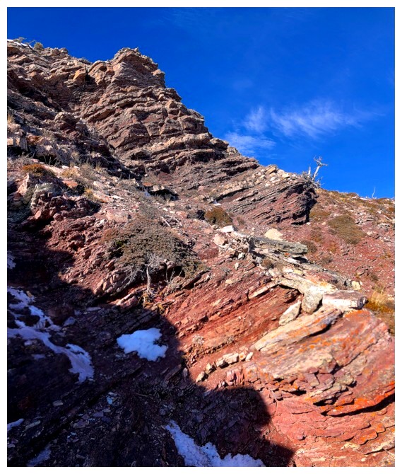
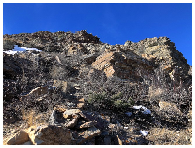
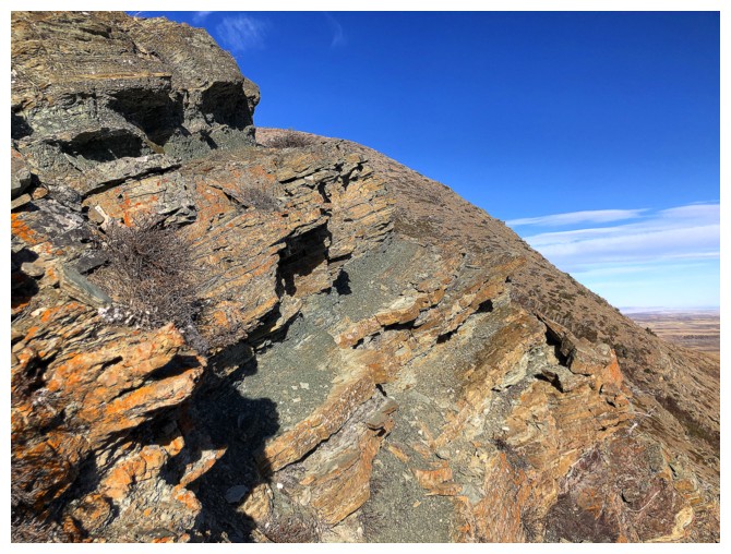
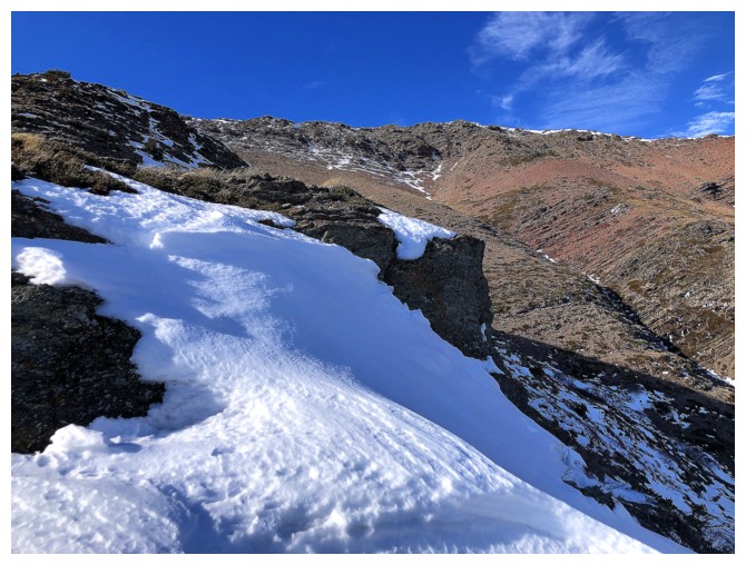
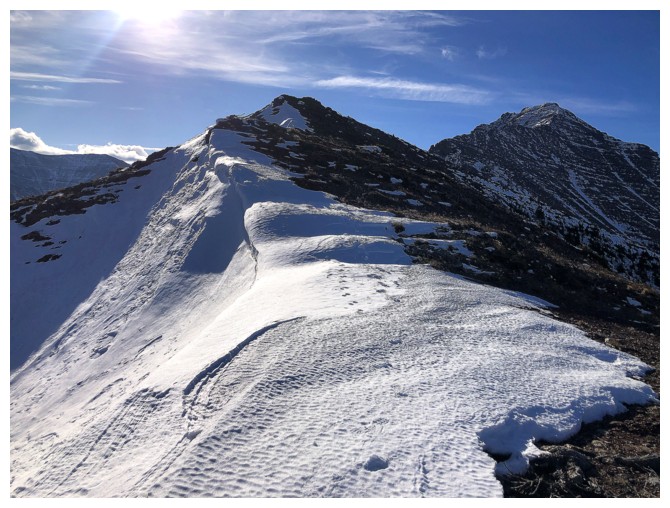
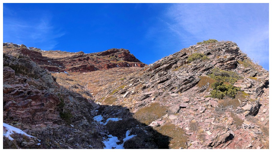
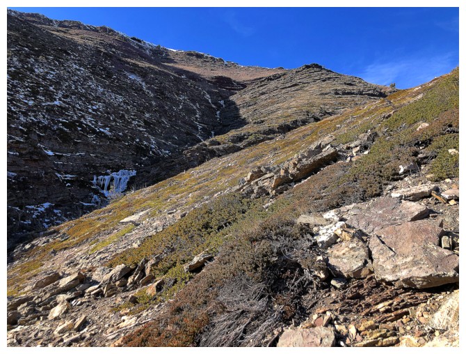
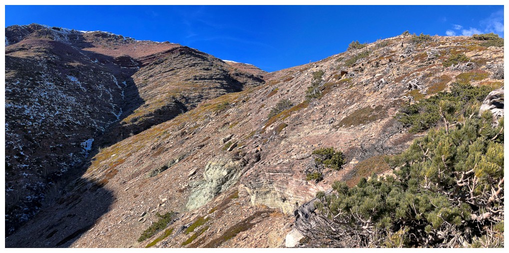
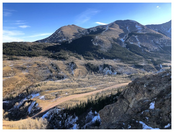
The start of the ascent route, looking very dry for mid-November
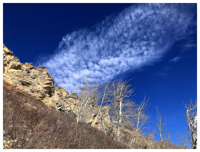
Cool cloud
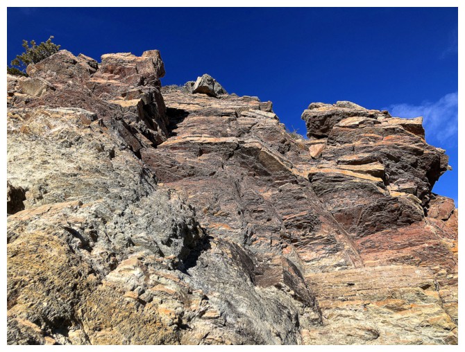
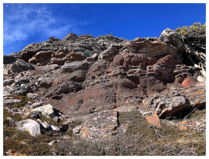
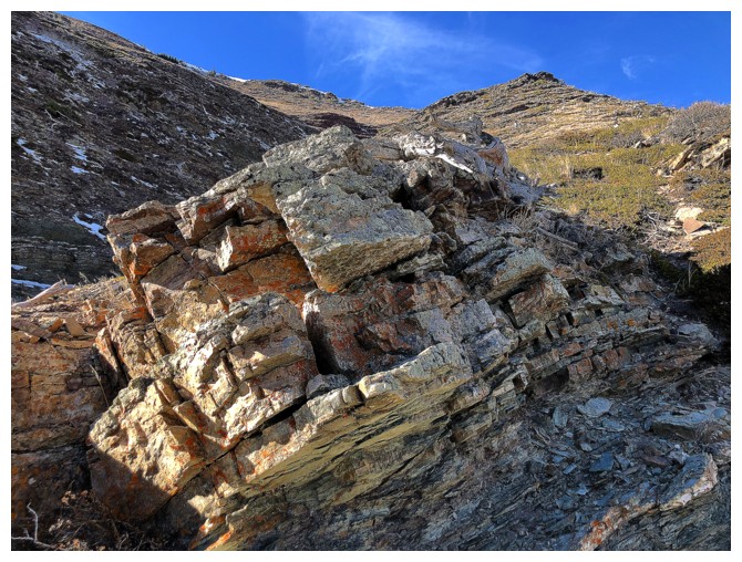
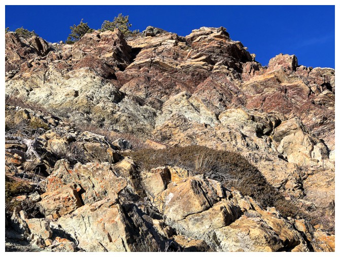
Cool rock!
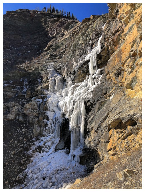
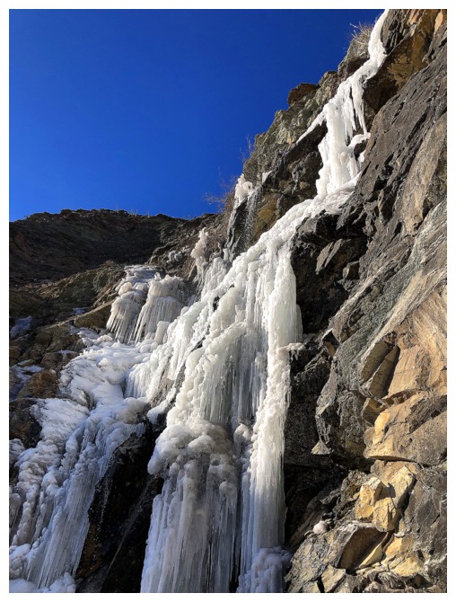
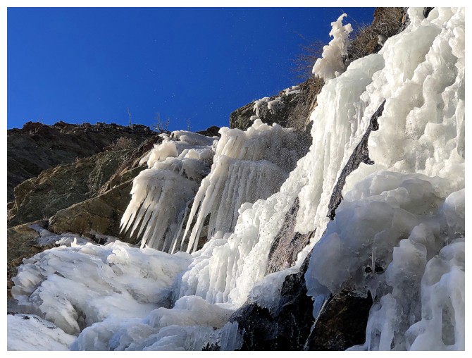
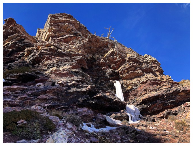
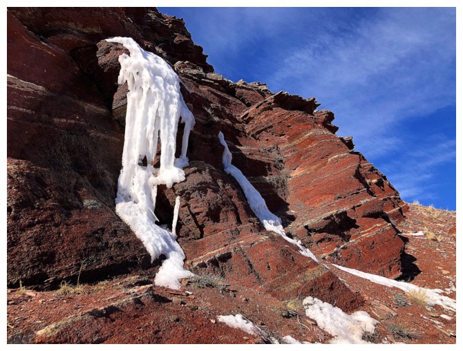
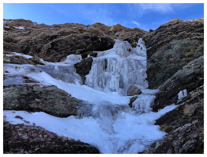
Some of the frozen waterfall has formed, but big chunks of it have fallen off
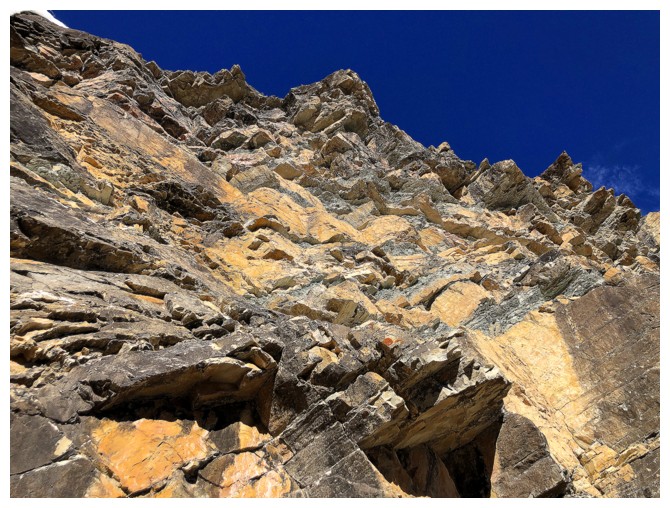
Colourful rock to the right of the fall
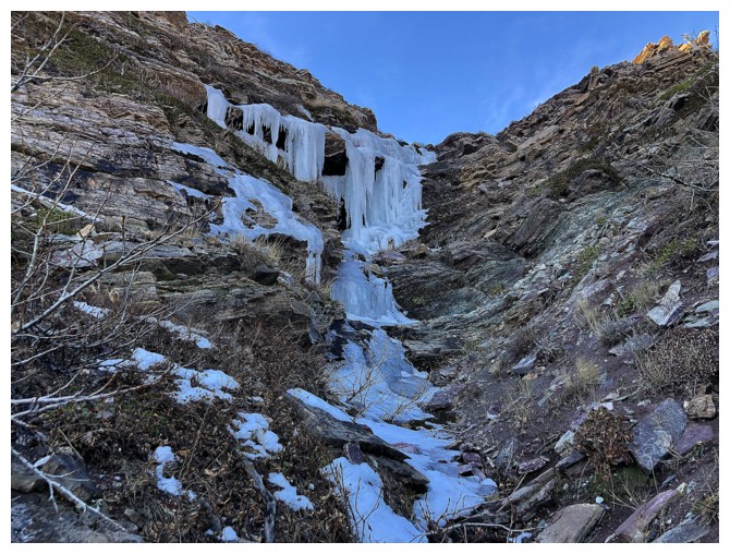
Back to the ice
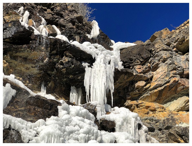
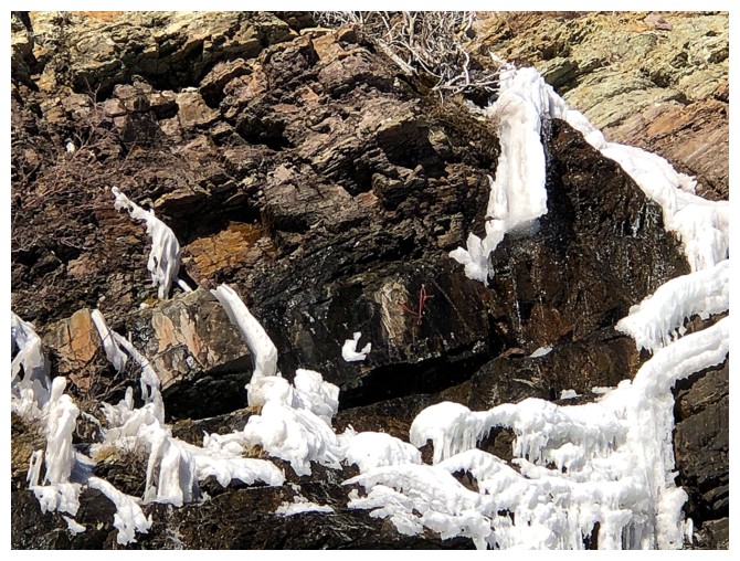
Hard to see, but there's a bolted belay/rappel anchor with red chord in the centre
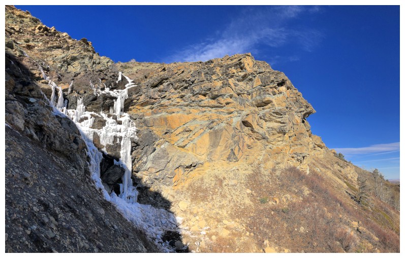
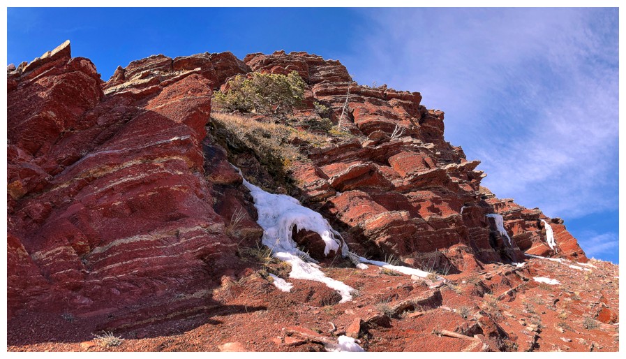
View of the falls from the left side. There's considerably less ice at this time of the year than February, for example.
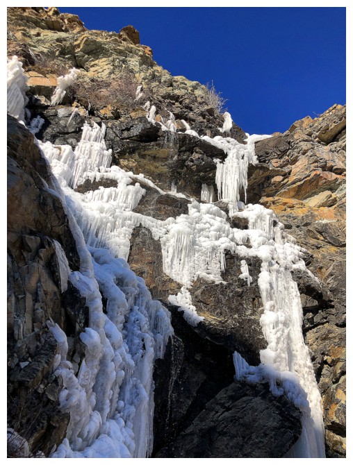
Here's February 22, 2020 (22/02/2020 - interesting date, number-wise!)
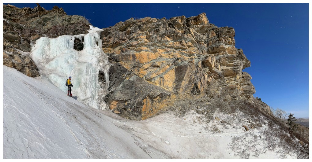
I decided to stay left of the frozen waterfall and ascend the same slopes Dave did on a previous trip
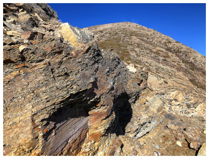
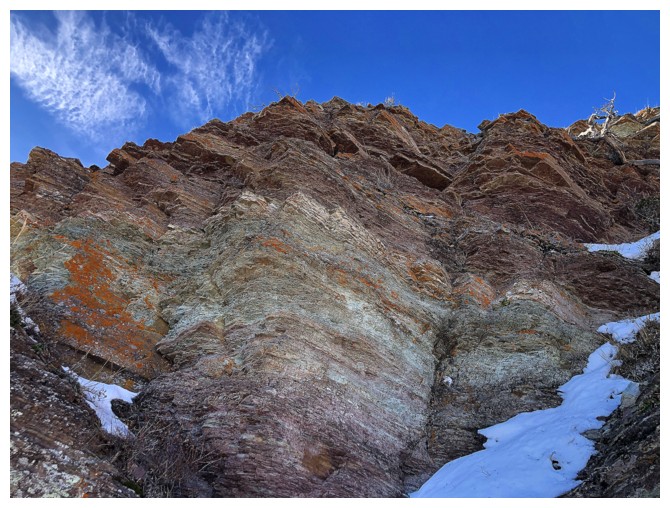
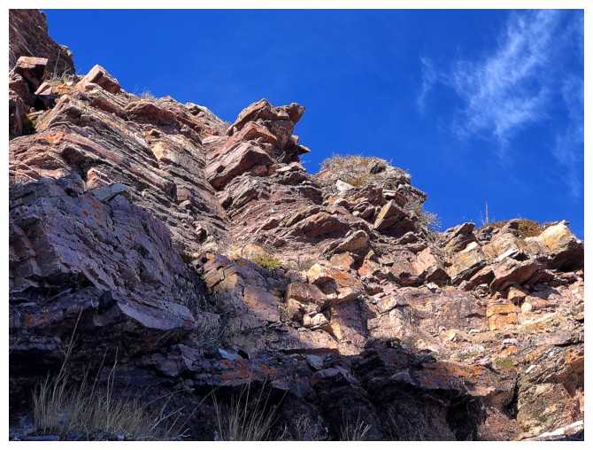
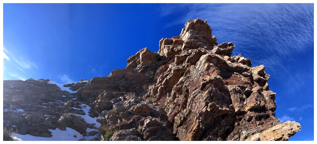
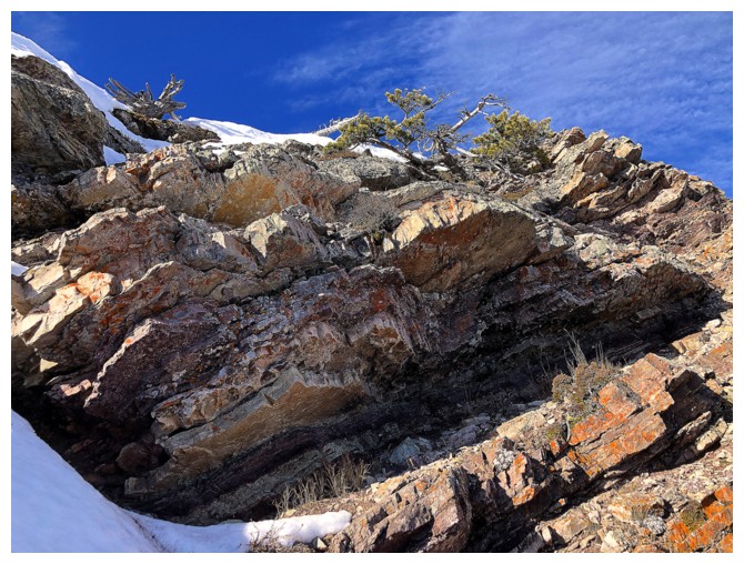
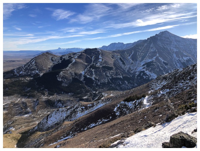
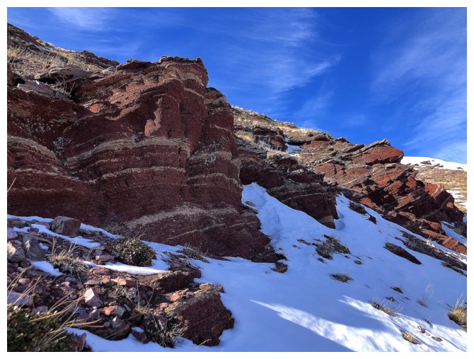
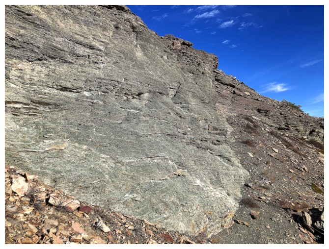
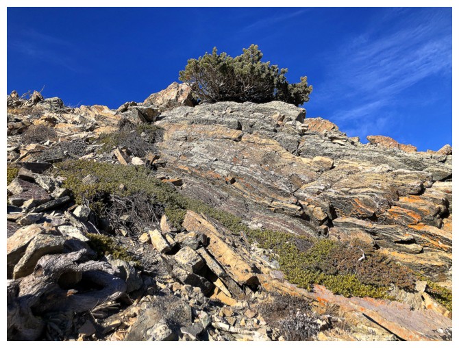
This ridge is riddled with colourful and interesting rock
Looking over to The Muffin and the route I took (where the shadow is) when Dave and I split up
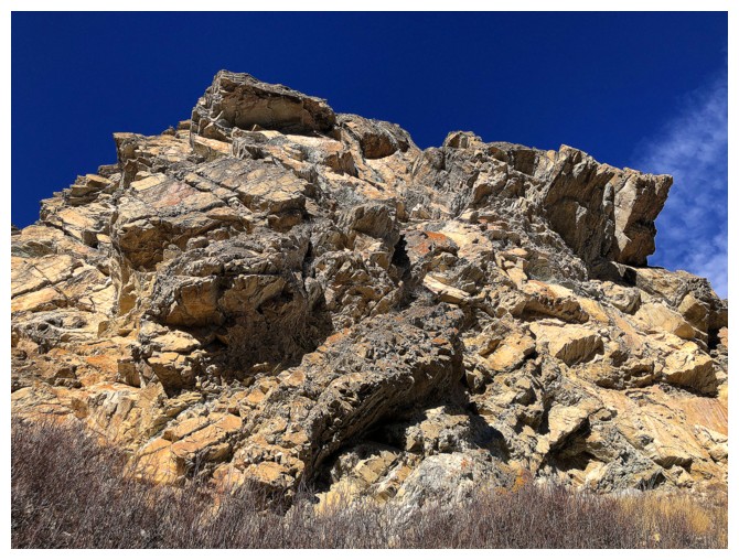
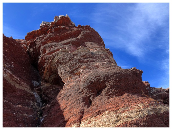
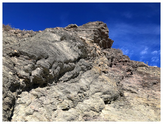
Back to the awesome rock
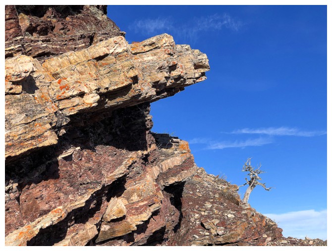
I see a monkey face at the upper left
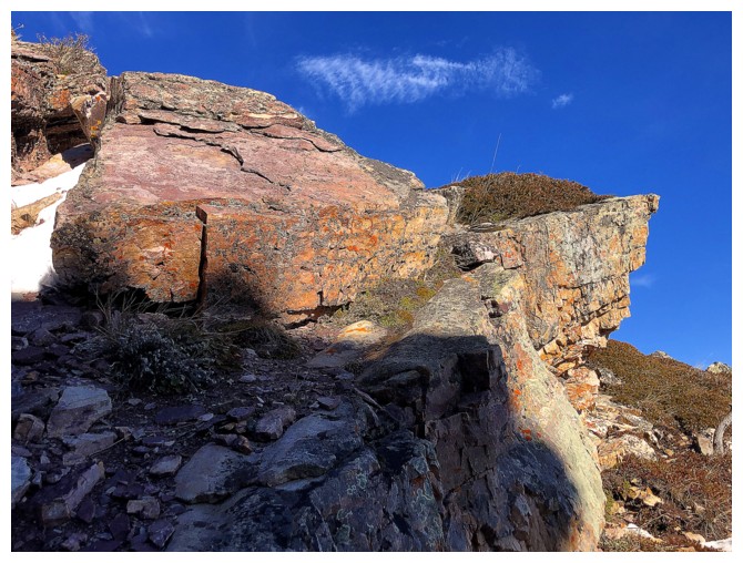
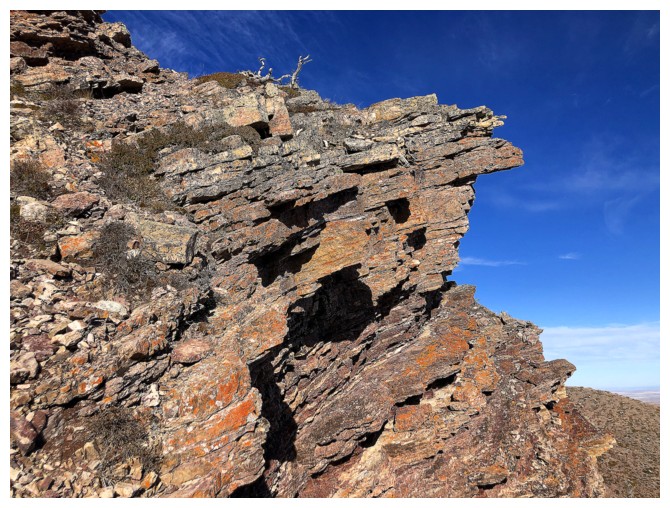
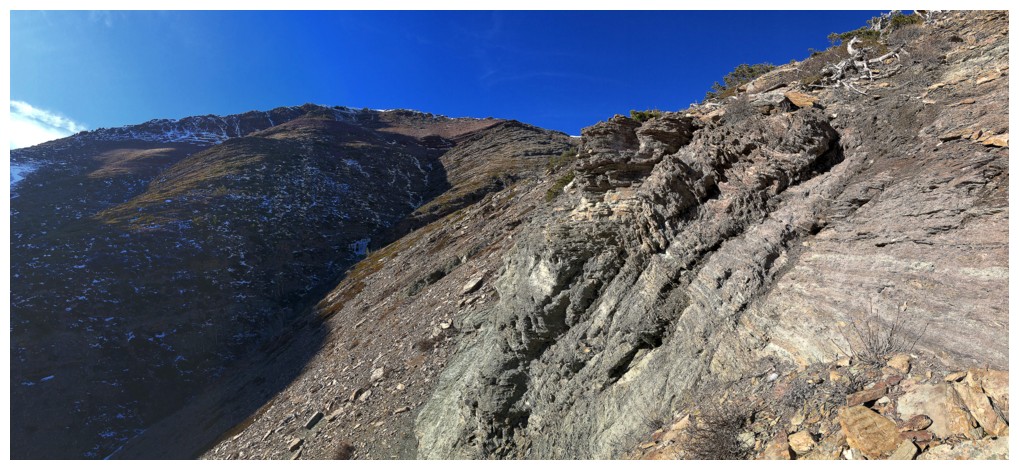
Still ascending the ridge, but getting ready to traverse right, underneath the rock band that lines the ridge
Below the summit ridge
Traversing
Took that route up one time
The quicker you start going up, the more amazing rock you miss while traversing
Case in point
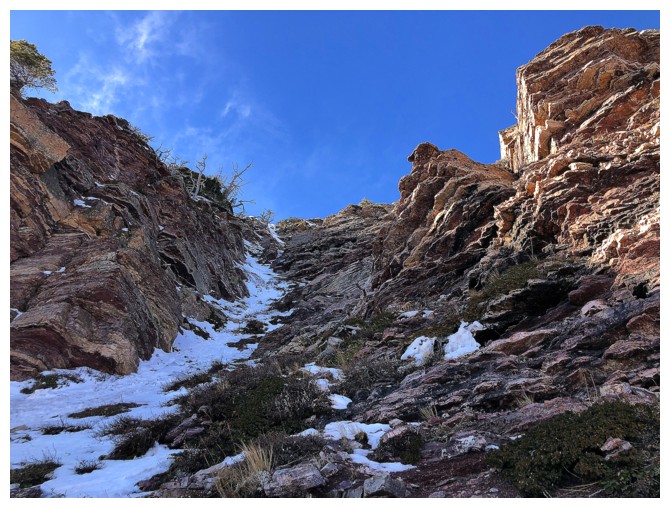
Finally decided to go this this gully - same one I used for IX
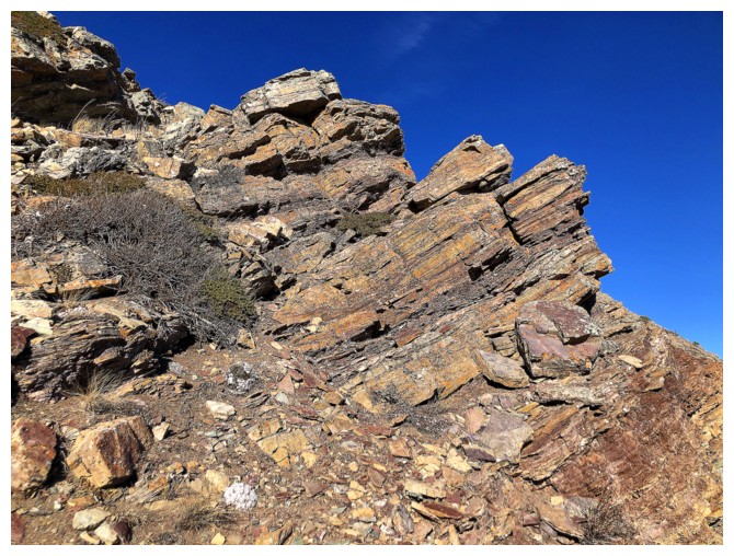
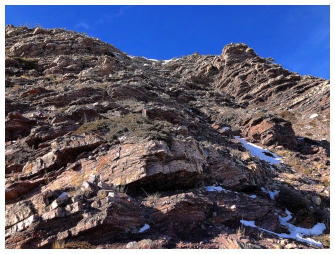
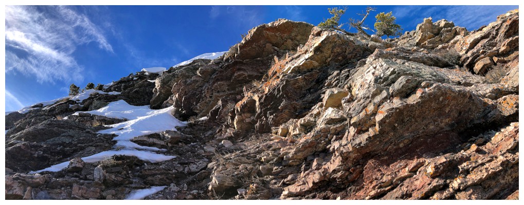
The route features great rock and generally easy terrain near the left side
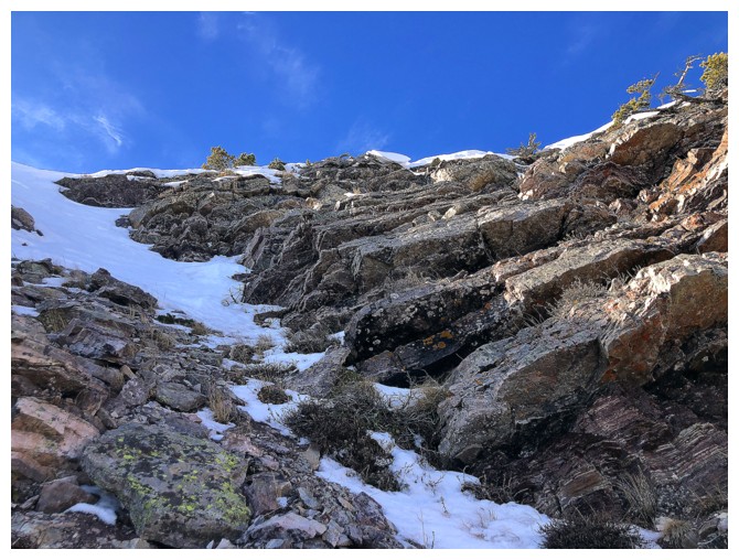
Looks easy to the ridge, but it's deceivingly steep and any snow/ice makes for potentially dangerous conditions
Traversed right here to avoid the snow
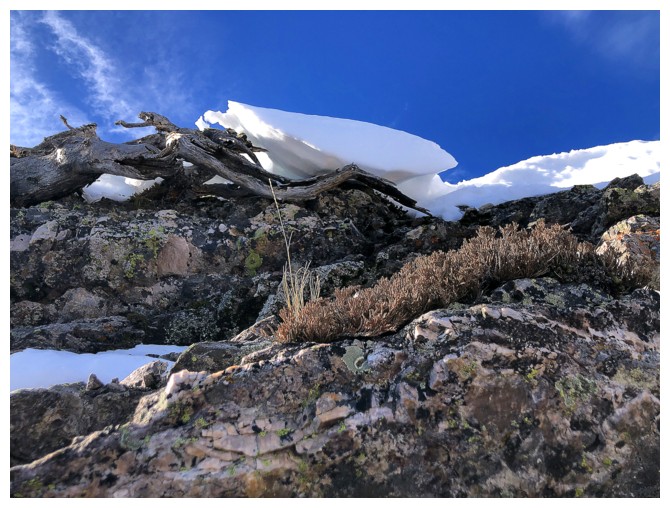
Mini cornice
The snow I thankfully decided to avoid
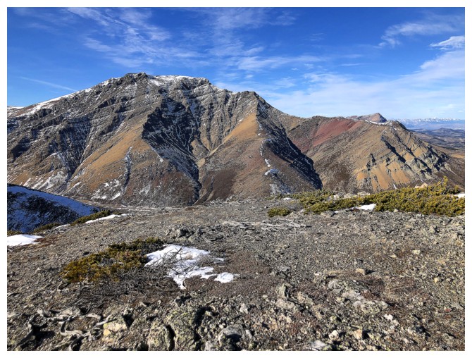
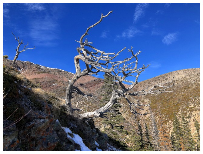
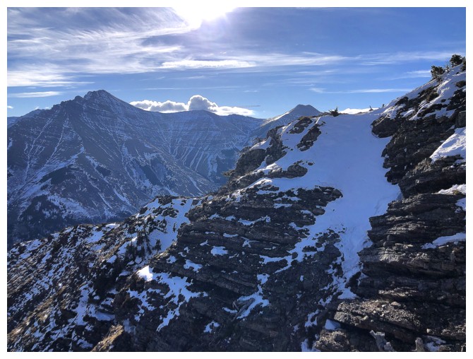
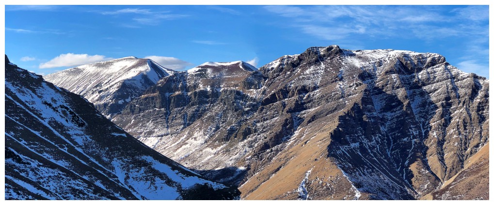
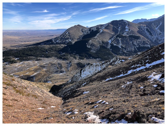
The usual, but never boring view of Drywood Mountain
Same for Bakery Peak/Icing On The Loaf
Mount Roche and Spionkop Ridge
In terms of a variety of routes up, Woody has it all! I, II, III, V, VI, The Knot
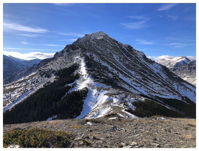
Summit view of lengthy Drywood Mountain. Southwest summit at the left.
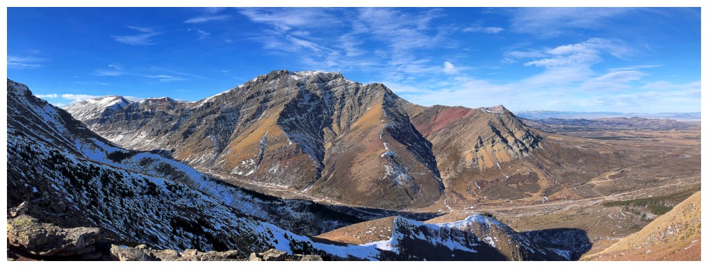
The main summit of Drywood and it's eastern outliers
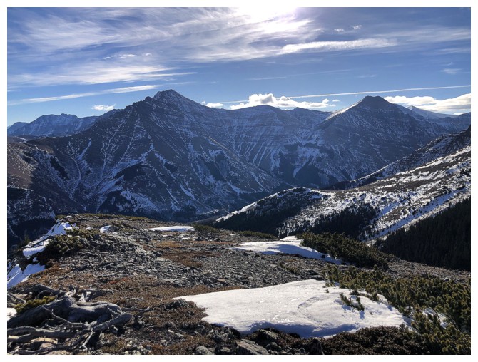
The Muffin to the east
The Eaglet and Raptor Peak (left) are the outliers of Mount Roche (Spread Eagle Mountain)
Heading down
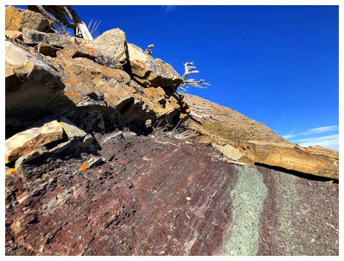
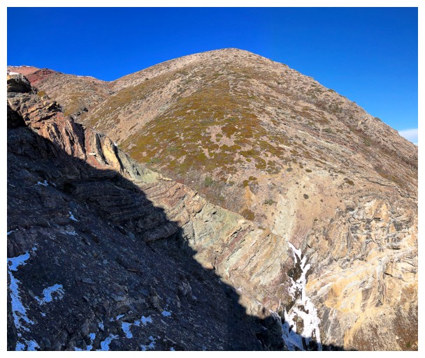
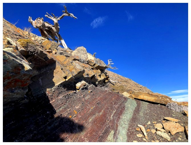
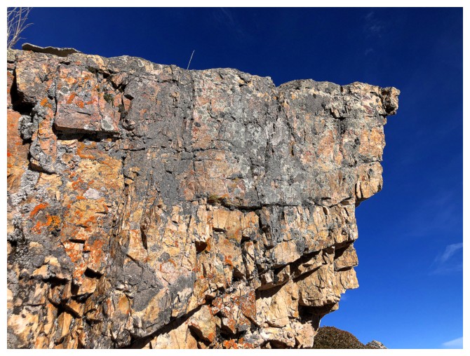
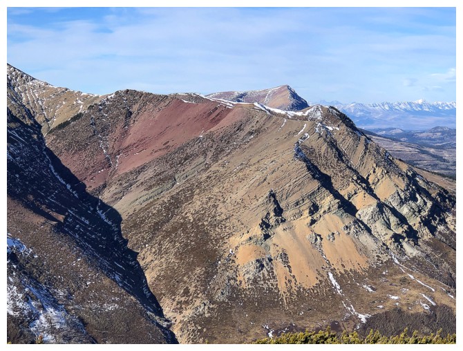
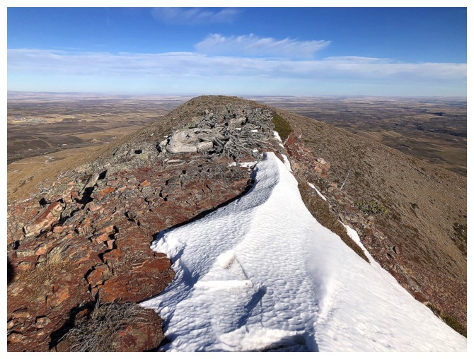
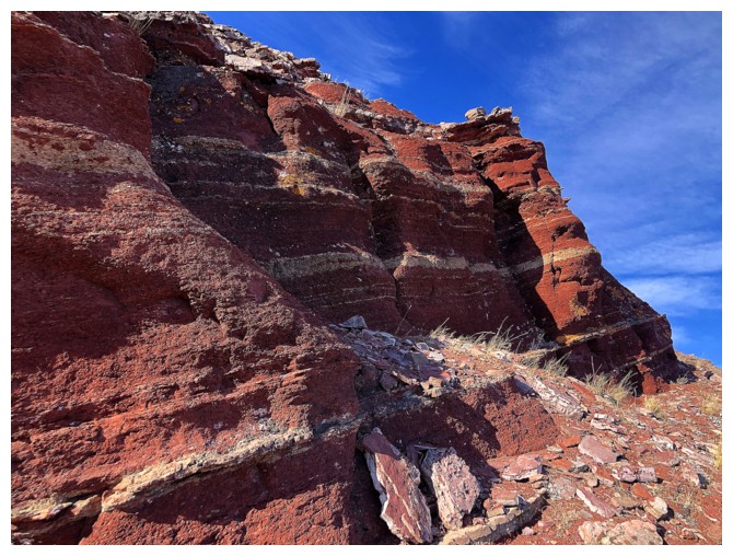
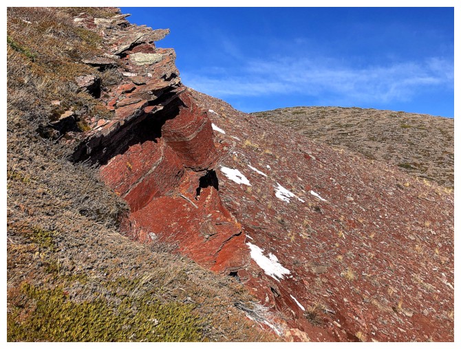
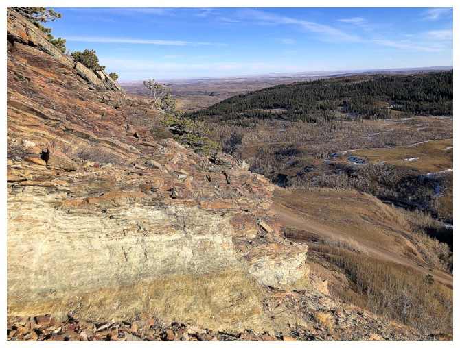
The band of red argillite that runs across the peak is not to be missed
No more argillite for now and time to descend
Looking back at the band
Following the closest drainage out. Lots of small but cool ice features throughout. Again, later in the season is far more rewarding.
Out of the drainage and traversing over to the easy descent slopes, east of the frozen waterfall
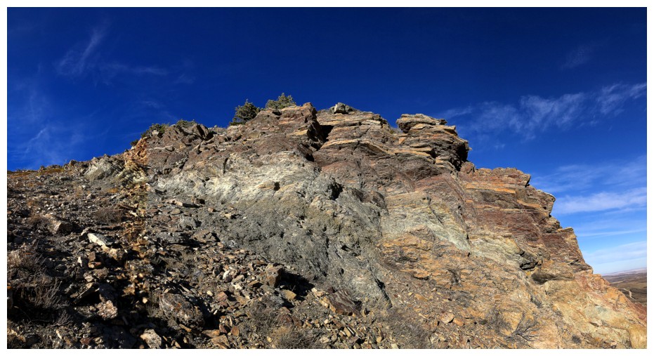
Encountered this green/gray argillite band on the way
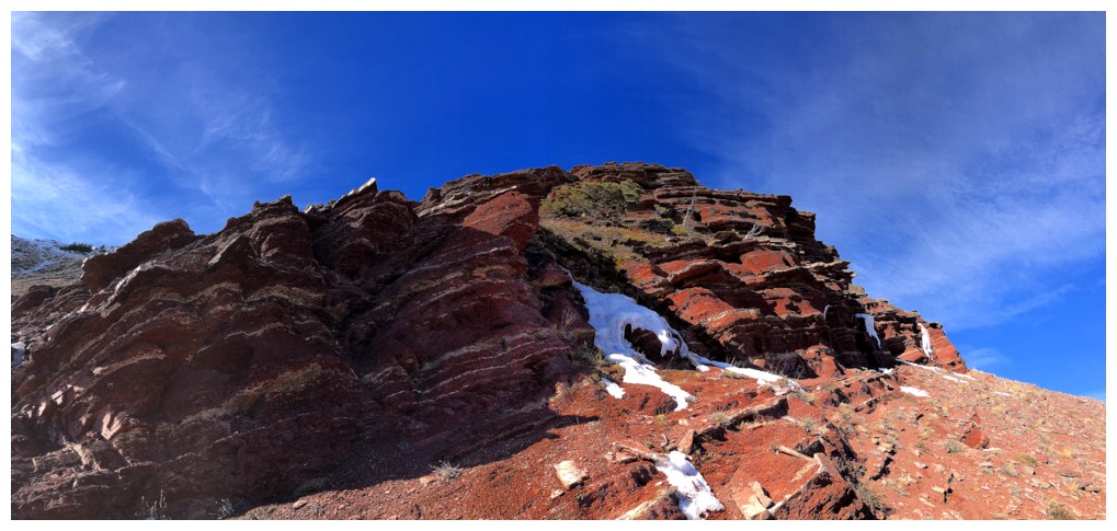
The band and summit of The Croissant
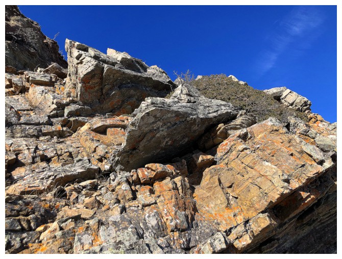
The last round of fantastic rock
The gas road is near
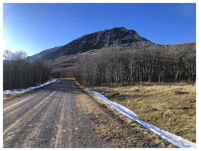
Always photograph The Muffin when close to the trailhead
The End
LOG