May 17, 2025
Mountain height: 2135 m
Elevation gain: 1200 m
Ascent time: 2:25
Descent time: 2:10
Hiking with
Dave.
Another May
Long Weekend and another crappy weather forecast. We need to move the May Long
Weekend into July and call it the Muly (moo-lie) Long Weekend!
Coincidentally,
Dave and I found ourselves in the same area we spent the previous rainy/snowy
May Long. In 2024, Dave expertly guided us, in miserable weather to the
summits of Leach Ridge; the objective for this potentially rainy, but
fortunately not snowy day would be nearby Marten Ridge. 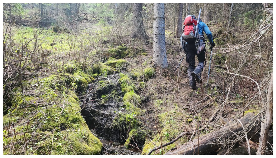 Dave had done tons of
research for the trip and from the Google Earth map it appeared we could drive
to within spitting distance of the summit, provided the logging roads were
accessible and driveable. What neither Dave nor I foresaw for was the fact that the
Google Earth map was complete fiction!
Dave had done tons of
research for the trip and from the Google Earth map it appeared we could drive
to within spitting distance of the summit, provided the logging roads were
accessible and driveable. What neither Dave nor I foresaw for was the fact that the
Google Earth map was complete fiction!
After driving
up and down the Wheeler Creek Road several times, looking for the very
pronounced road marked on the map, we came to the bewildered conclusion the
road didn’t exist. An alternate plan was needed. Fortunately, we did find an
old logging road wrapping around the north side of the objective and agreed it
was this one or go home.
The road was
awesome at the start, and we were happy to be gaining elevation up the
mountain. That lasted for about 1 km, at which point, the road came to an
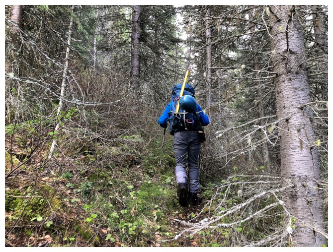
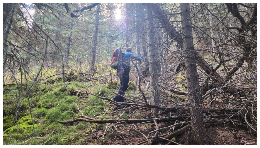
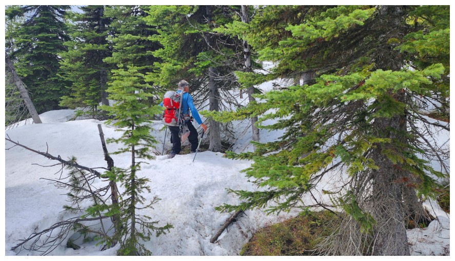
unceremonious and abrupt end. We continued on through light bush, soon running
into a good animal trail going more directly up towards the north ridge. Things
seems to be going well, but we both expected to encounter vicious deadfall
and/or heavy bushwhacking at any turn. That never happened. In fact, these
slopes were quite enjoyable to ascend, offering minimal resistance.
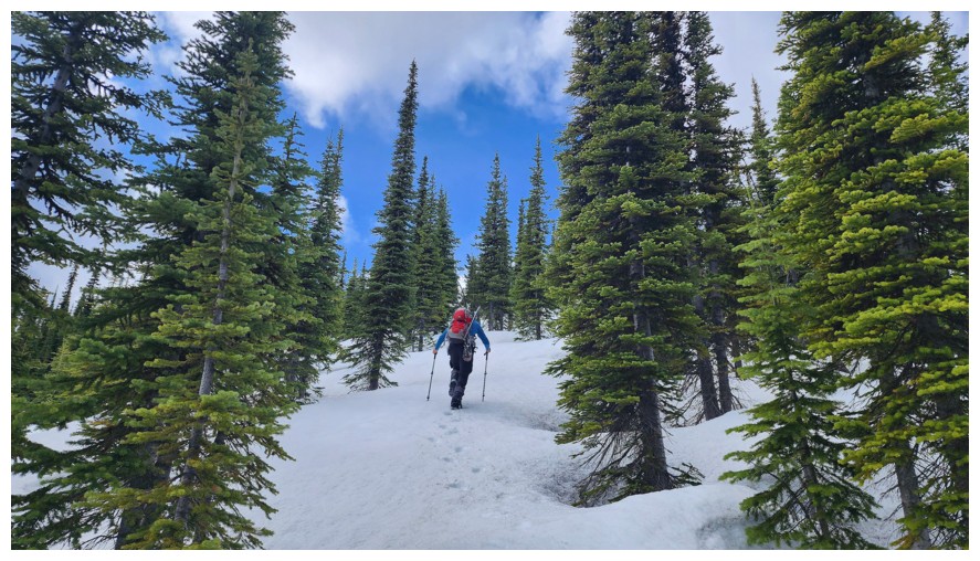
We eventually
intercepted the north ridge and continued up towards the summit. Gaining more elevation,
it became apparent that snow might be an issue. There was lots of it
and very little held our weight. Fortunately, around the same time, we stumbled
onto one of the myriad of logging roads on the peak. There we found some
reprieve from the postholing, especially when we were able to follow in the tracks of a
massive grizzly! Thankfully, the animal appeared to have traveled in the
opposite direction, though quite recently.
Our luck with
the logging roads soon ran out. To get to the summit we would have to
route-find our way up lightly treed slopes, completely covered in a solid metre
of snow. And the moment of truth...if the snow was unsupportive, a
snow-wallowing battle of biblical proportions would ensue - one that we would
inevitably lose; 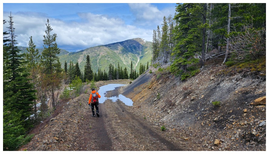 firm snow and success was almost guaranteed. To our delight,
the snow held our weight, and with only a few plunges into the white depths, we
were able to reach the summit with relative ease.
firm snow and success was almost guaranteed. To our delight,
the snow held our weight, and with only a few plunges into the white depths, we
were able to reach the summit with relative ease.
Though
also
lightly treed, there were enough open spaces to grant good views of the
surrounding mountains. Dave is excellent at taking zoomed-in photos and
so I
let him do all the work while is scoffed down my “sandwich de l'année”
(sandwich
of the year) – for 2025, it’s plain cream cheese on sourdough bread
(the bachelor life is one of minimalism and simplicity!). Continuing
the trip to
the slightly higher summit of Marten Ridge to the southwest was out of
the
question, due to the significant amount of snow. Instead, we took a
long break,
Dave reconstructing the “summit pole” in the process.
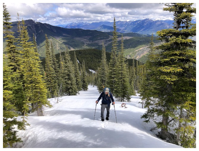
Retracing our
steps down was the logical course of action for descent. We did try to stay on
the logging roads for as long as possible. Unfortunately, that road soon veered
off in the wrong direction, forcing us back onto our ascent route. And good
thing we both made GPS tracks of that route. At one point I checked my progress
to realize I was significantly off route and probably heading for some of that nightmarish
deadfall near the base. Dave was closer to the original but also off-course. We adjusted, found the correct route, and finished
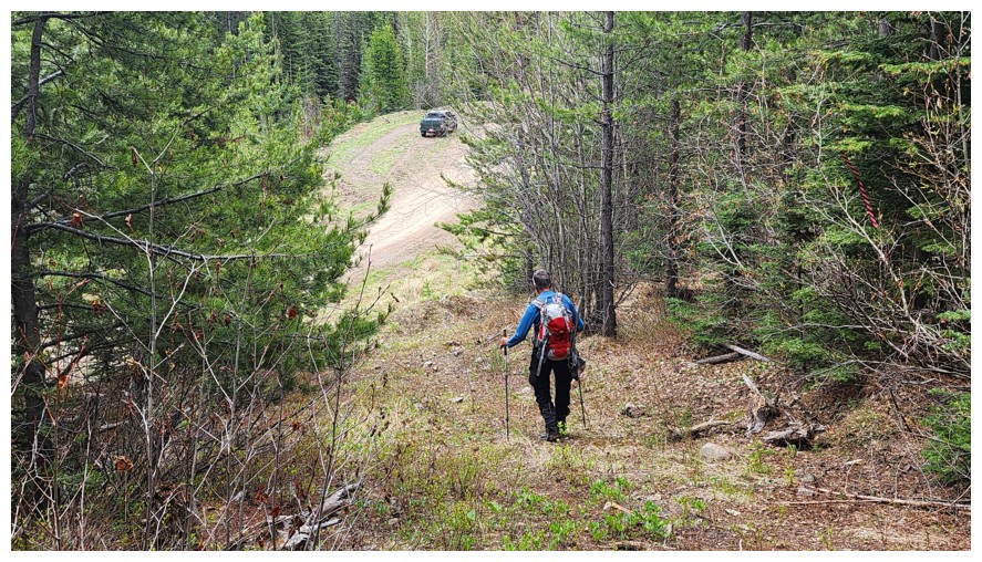
the trip along the short but good road.
An awesome day
out! What could have been a total wash ended up being a wonderful trip with
lots of adventure and intrigue. Huge thank you to Dave for turning water into
red argillite (something is amiss with that statement; I just can’t put my finger on it!)
Click HERE to see Dave's awesome report.
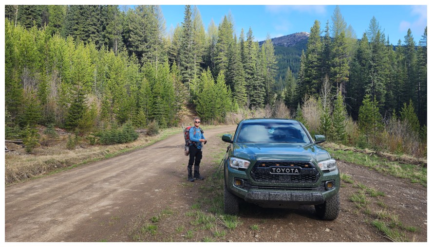
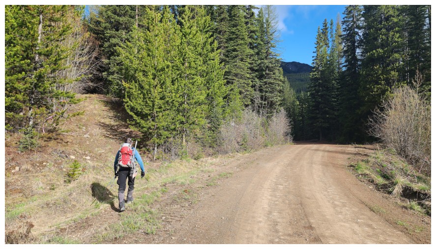
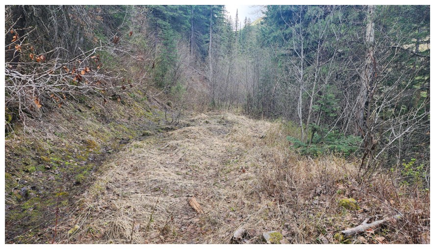
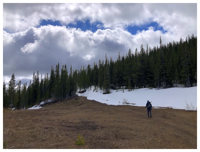
Our starting point on the Wheeler Creek Road (photo by Dave)
There's the old road at the left that we took (photo by Dave)
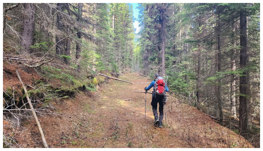
Looks very promising (photo by Dave)
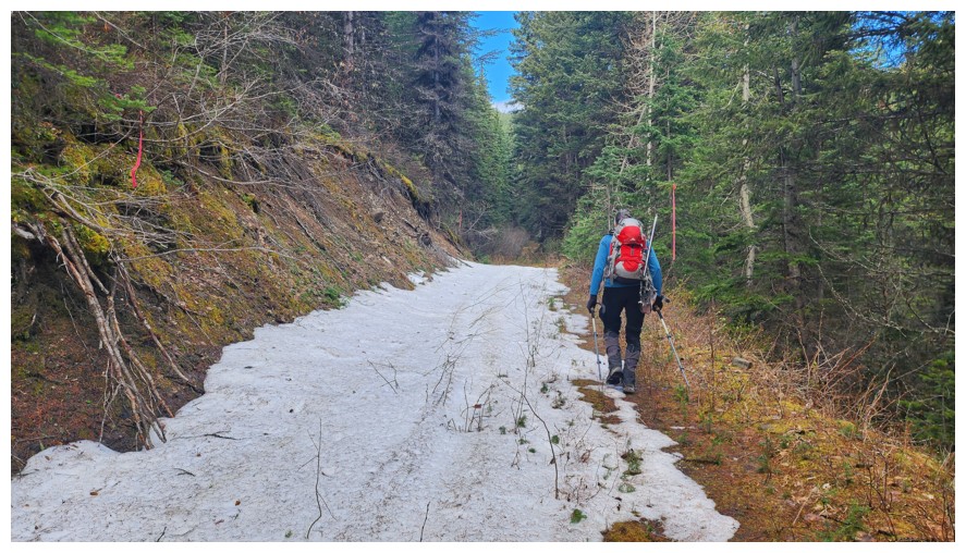
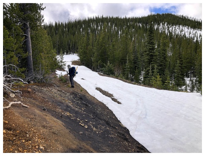
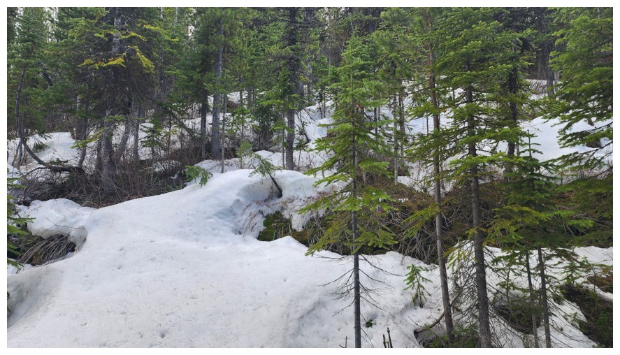
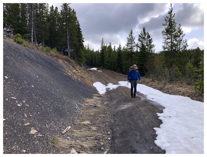
A little snow, but of minimal depth (photo by Dave)
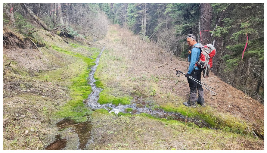
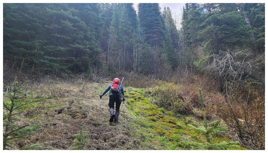
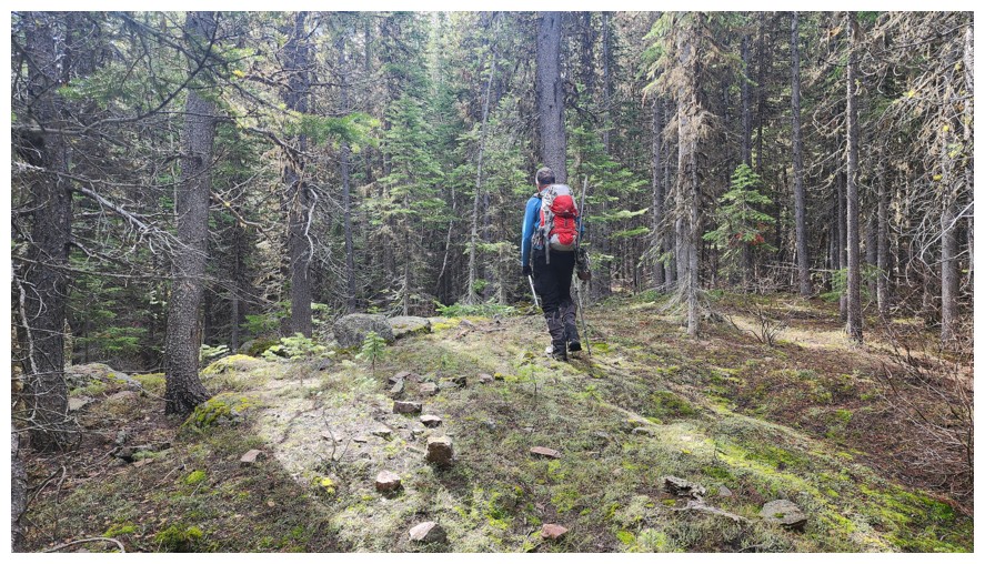
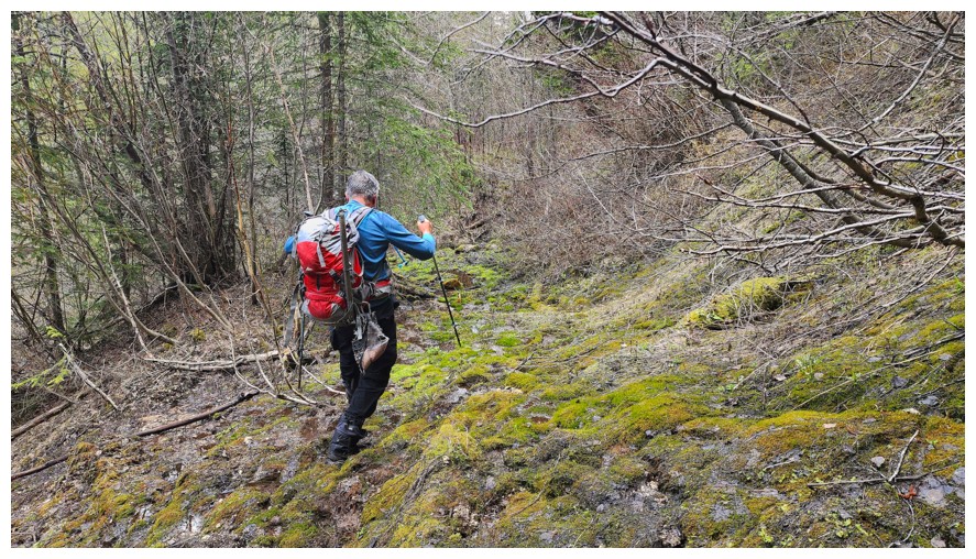
Beautiful mossy stream (photo by Dave)
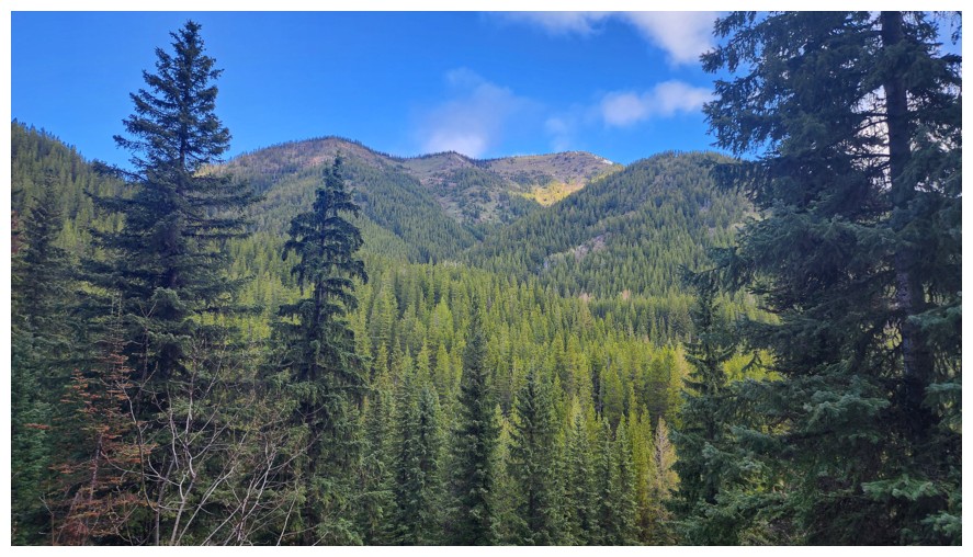
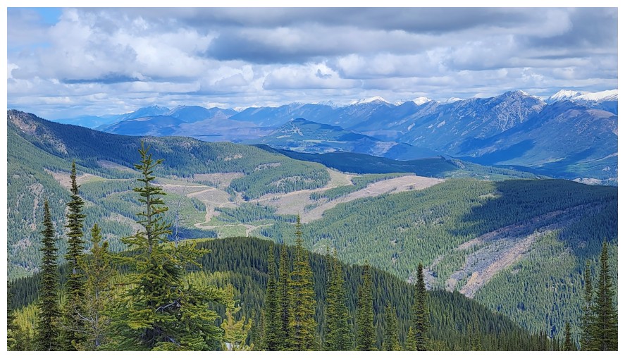
Sparwood Ridge sits to the north and was a source of intrigue throughout (photo by Dave)
Uh-oh! (photo by Dave)
A look of dismay as the road disappears (photo by Dave)
On a good animal trail
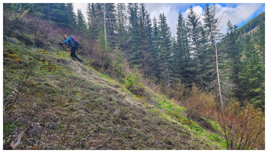
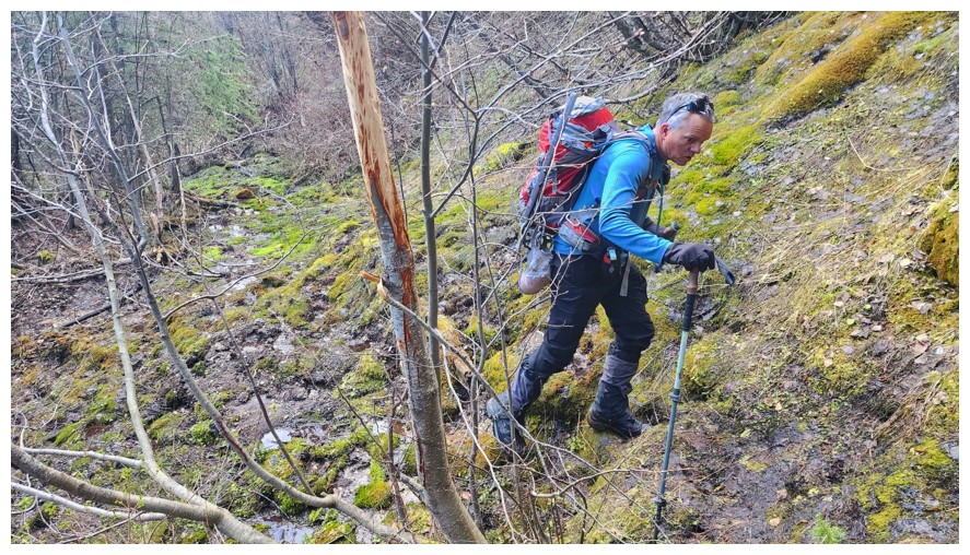
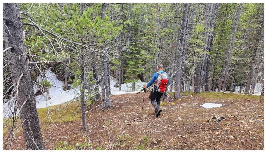
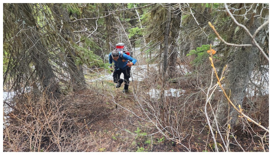
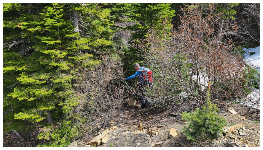
Steep terrain and heading right for the thick of it (photo by Dave)
I was a little skeptical at this point (photo by Dave)
Something scary lurks in the bushes (photo by Dave)
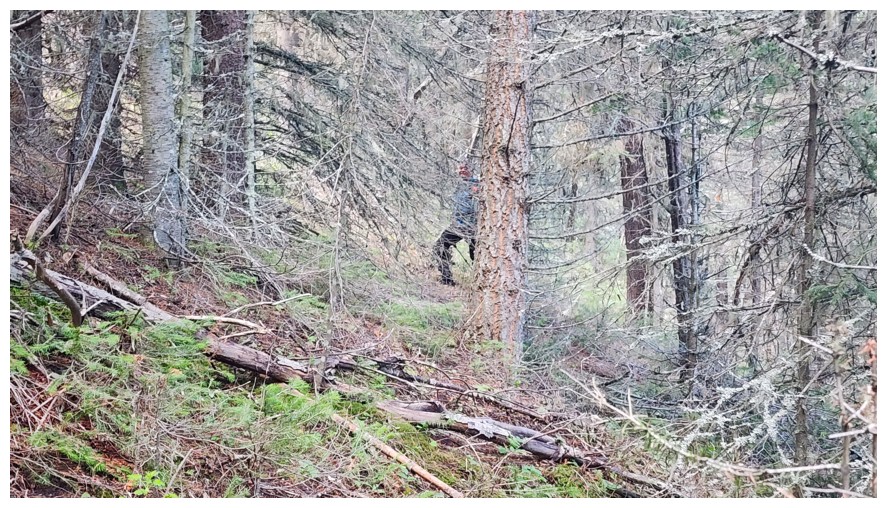
Looks much worse than it was. Ascending this section was surprisingly easy (photo by Dave).
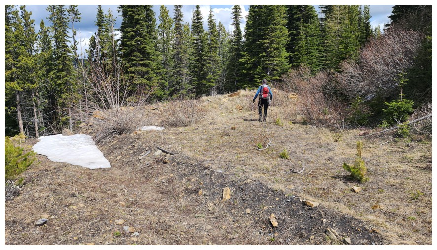
Flat section before resuming the ascent (photo by Dave)
A little dip first (photo by Dave)
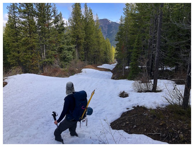
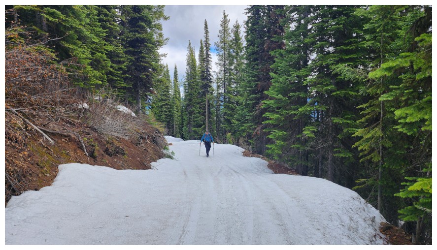
The snow is about to become a concern (photo by Dave)
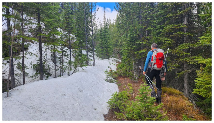
Avoiding said snow for as long as possible (photo by Dave)
There are no words!!
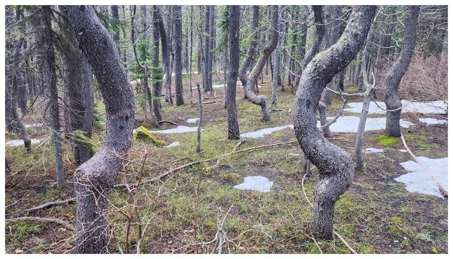
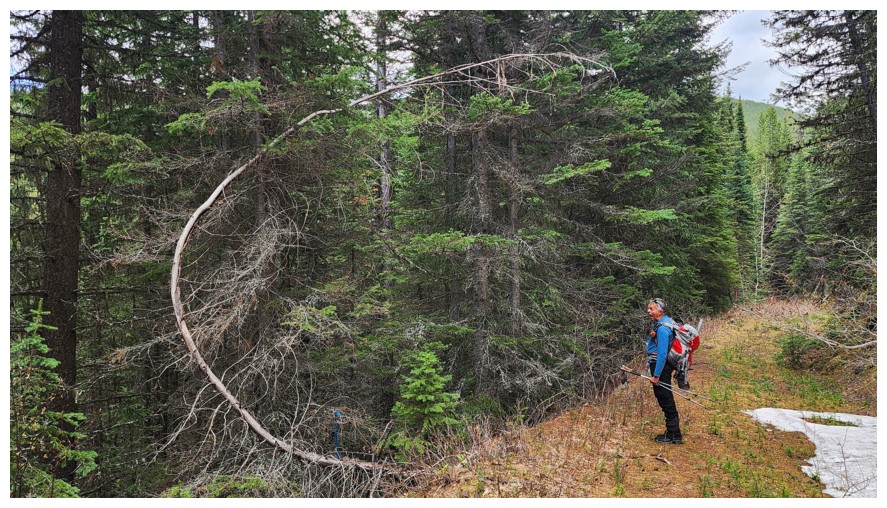
Very interesting trees (photo by Dave)
The snow was manageable here
Eureka - a road!
Dave looks longingly at Sparwood
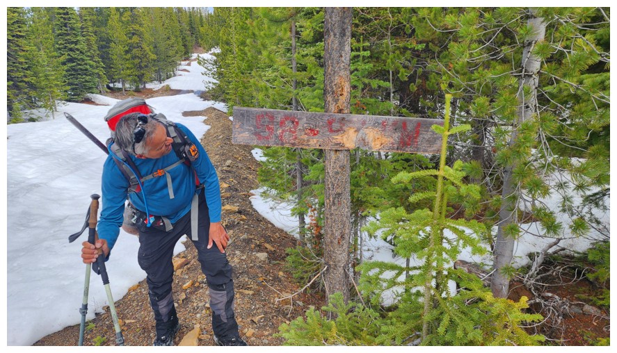
Trying to read the unreadable
Snowmobiles have been here
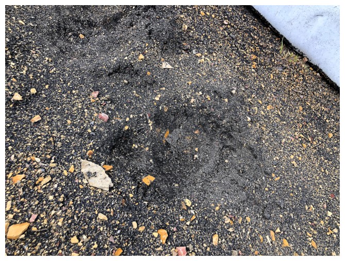
So has a large animal with big, scary claw
A fork in the road. We went left.
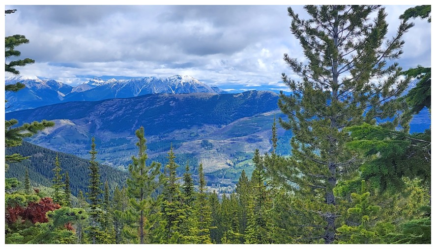
Starting to get some views towards Crowsnest (photo by Dave)
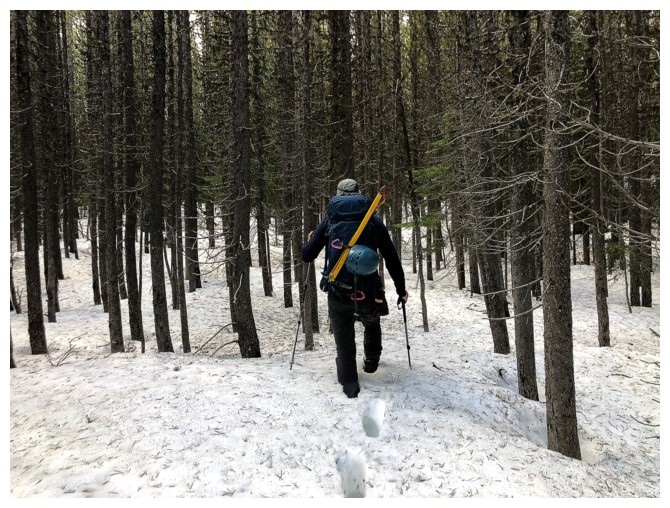
Walking on the snowmobile tracks (photo by Dave)
The road eventually veered off and so it was back to the bush (photo by Dave)
Mount Taylor, just right of centre (photo by Dave)
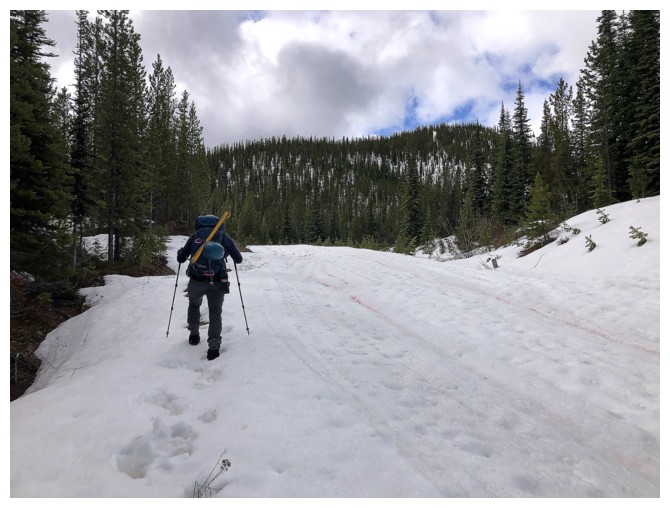
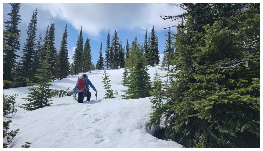
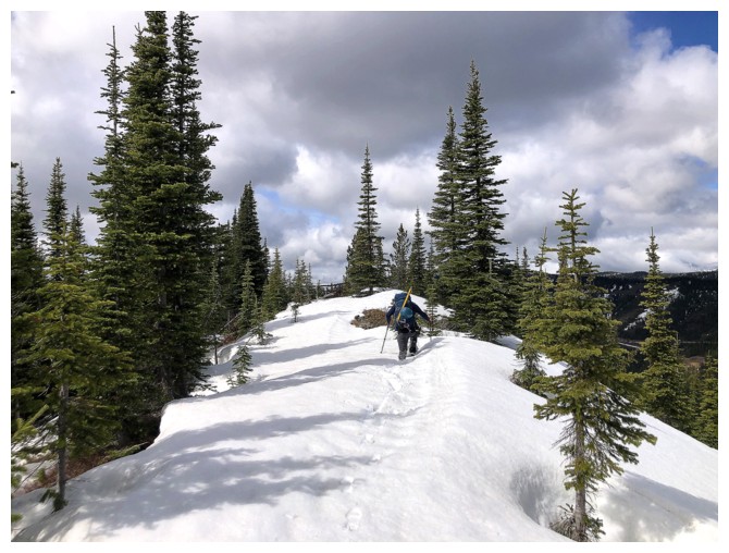
No avoiding the snow from here to the summit. If it's supportive we'll make it, if not we won't (photo by Dave)
Whew! Supportive so far (photo by Dave)
For Dave too
That doesn't look good (photo by Dave)
Neither does that
Thankfully the snow disappears near the summit (photo by Dave)
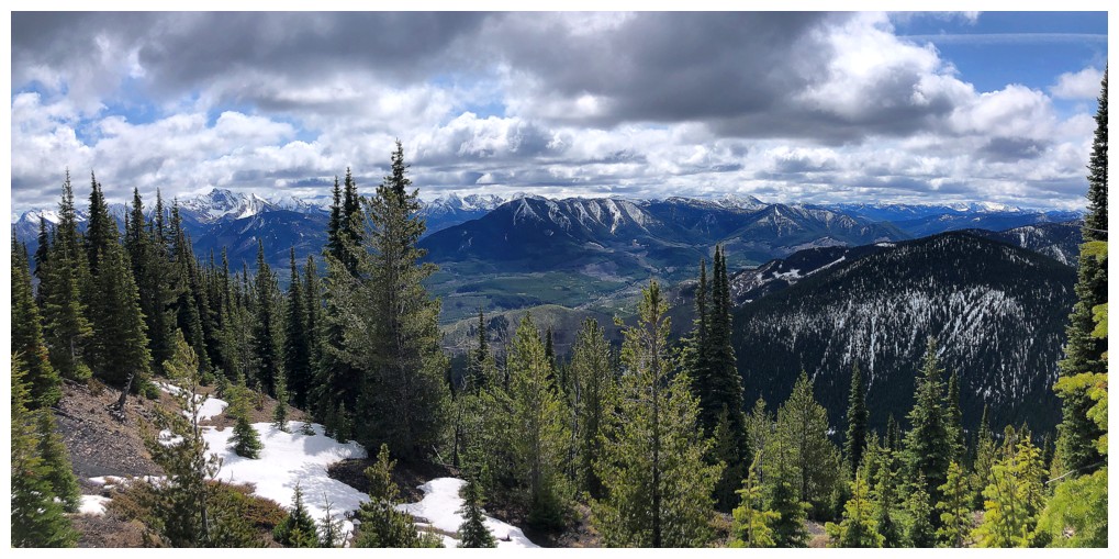
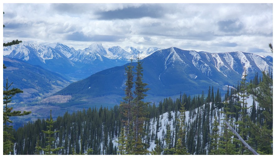
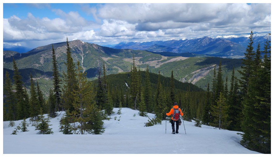
View to the southwest
Dave leads the way to the top
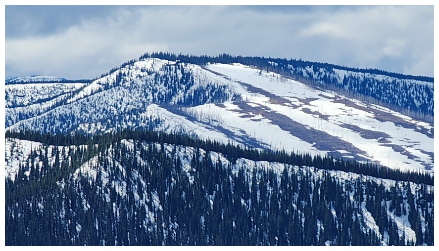
Sparwood Ridge is now fully visible (photo by Dave)
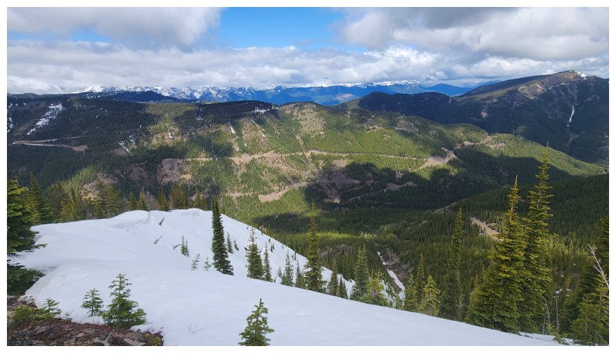
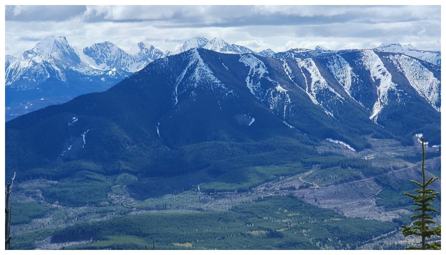
So is Hosmer Ridge and all the logging roads on its face (photo by Dave)
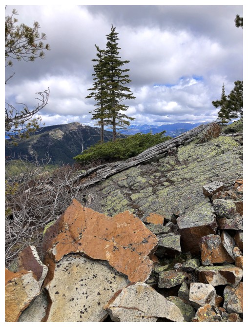
And there is even some cool rock!
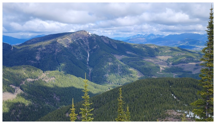
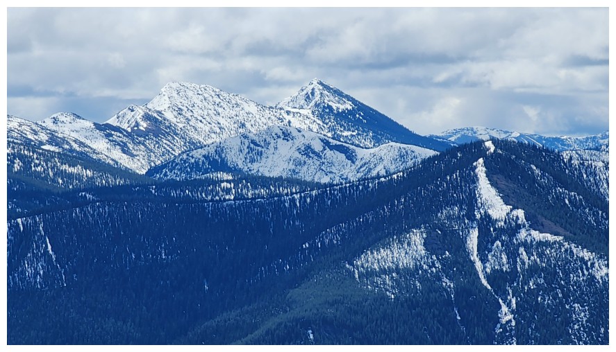
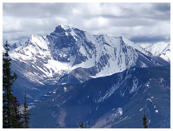
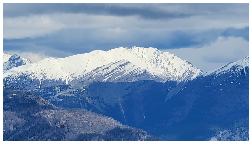
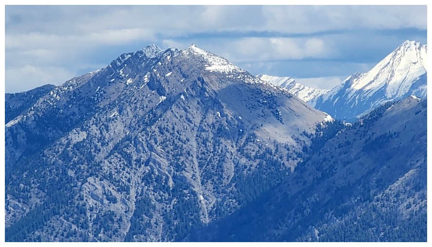
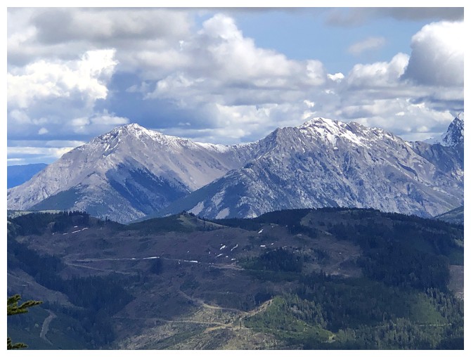
Full view of Mount Taylor (photo by Dave)
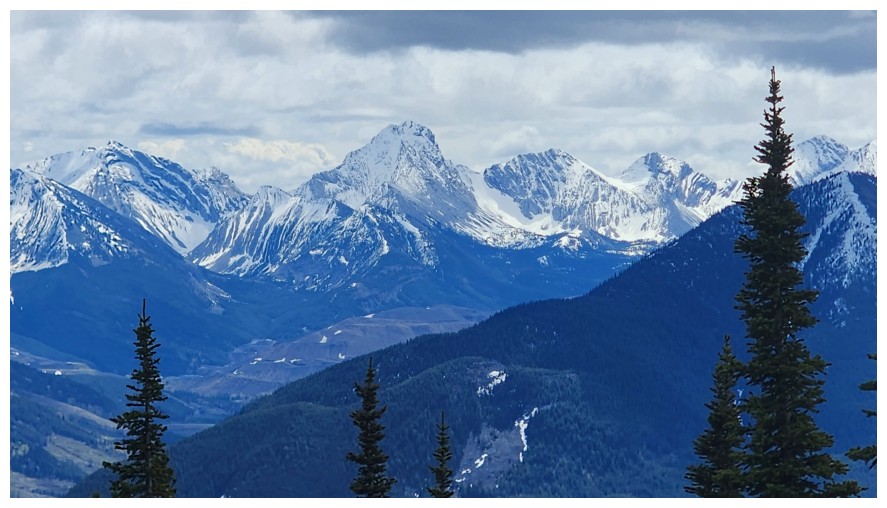
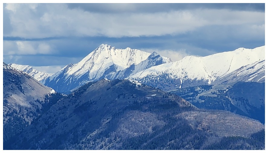
Barnes Peak - great trip! (photo by Dave)
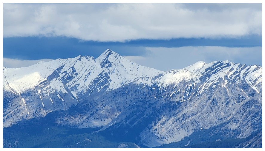
Leach Ridge (photo by Dave)
View to the north
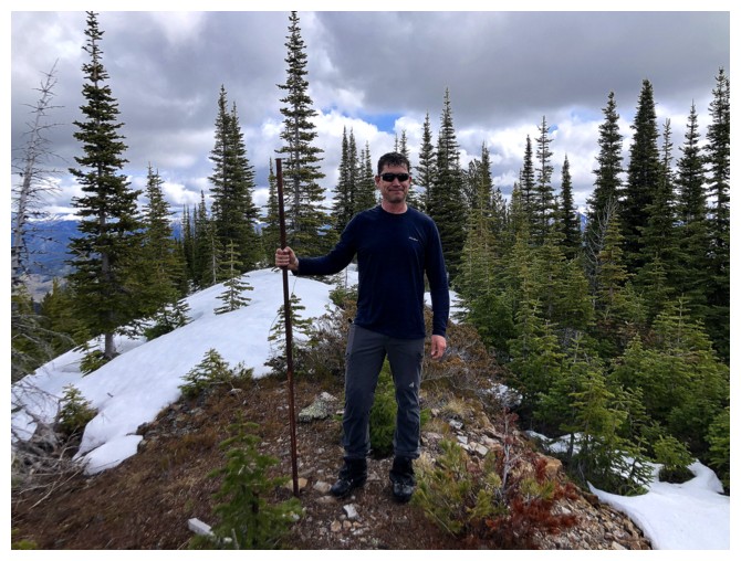
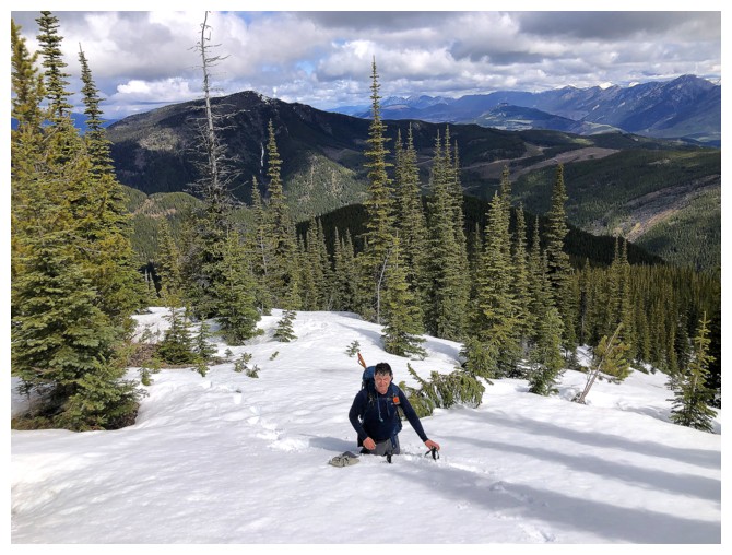
Dave has found the summit pole
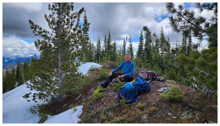
I'm too busy stuffing my face with food (photo by Dave)
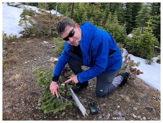
Dave also finds a survey pin
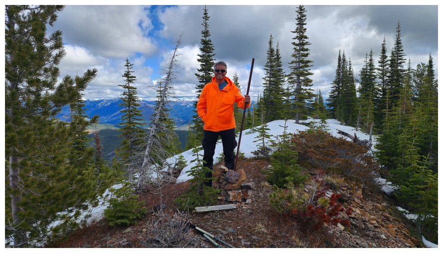
The pole stands again (the iron bar, not the guy in orange!) (photo by Dave)
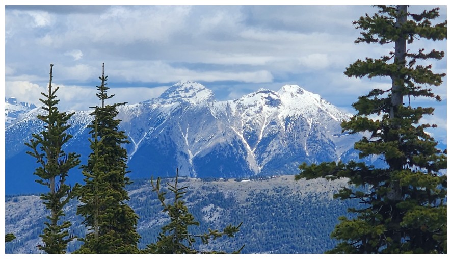
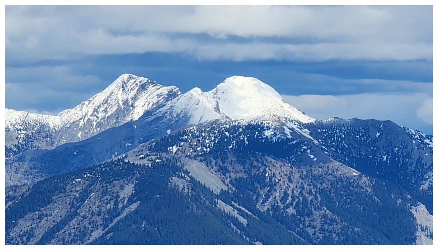
Stunning Mount Ptolemy
Mount Darrah, just left of centre (photo by Dave)
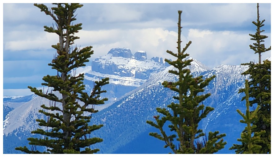
Crowsnest Mountain in the back (photo by Dave)
A few of The Seven Sisters (photo by Dave)
Alexander Creek Mountain (left) and Deadman Peak (just right of centre) (photo by Dave)
Allison Peak, just left of centre (photo by Dave)
Racehorse Peak and Mount Racehorse in front (photo by Dave)
Mount Erris - less than fuzzy feelings about that one! (photo by Dave)
Mount Erickson - still haven't got to its summit, but it's low on the priority list (photo by Dave)
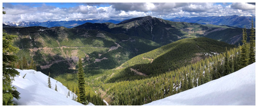
Last look at the view to the northeast (photo by Dave)
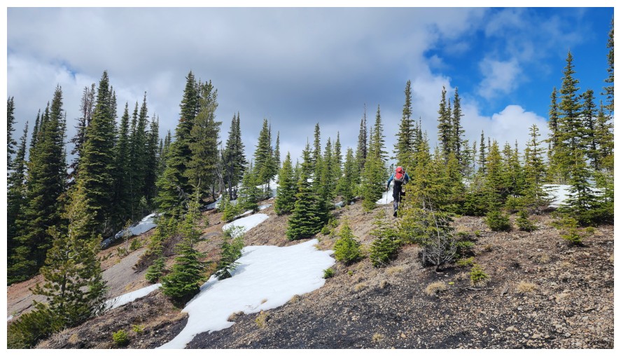
Heading down (photo by Dave)
Same as above (photo by Dave)
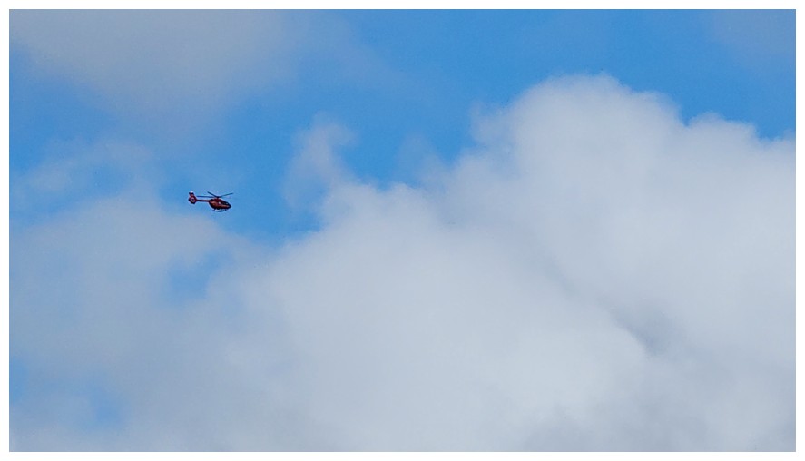
Helicopter (photo by Dave)
Sentry Mountain (left) and Ostracized Peak (right)
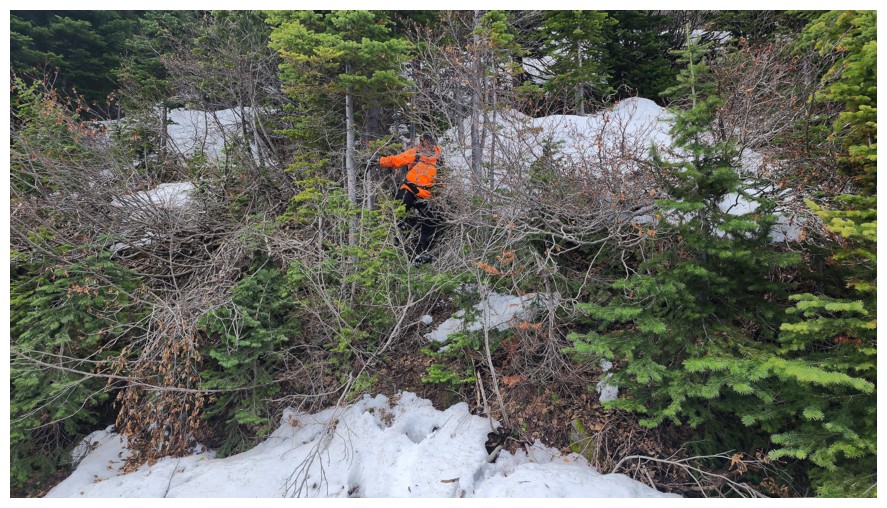
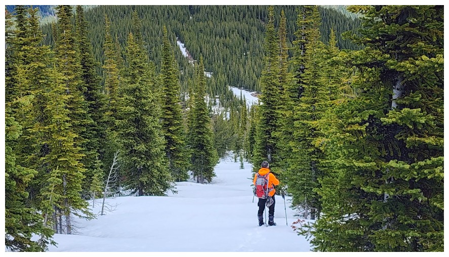
Tangled up in the trees (photo by Dave)
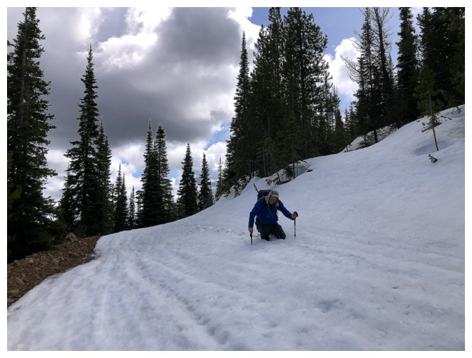
Back on the logging roads and still no support on the snow
Something sketchy at the lower right
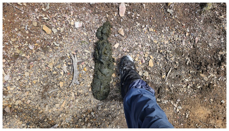
It's bear scat and a lot of it (photo by Dave)
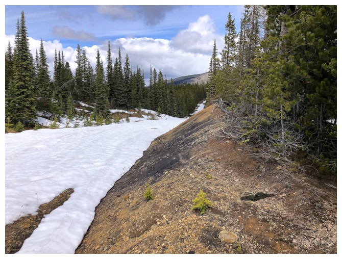
A colourful road (photo by Dave)
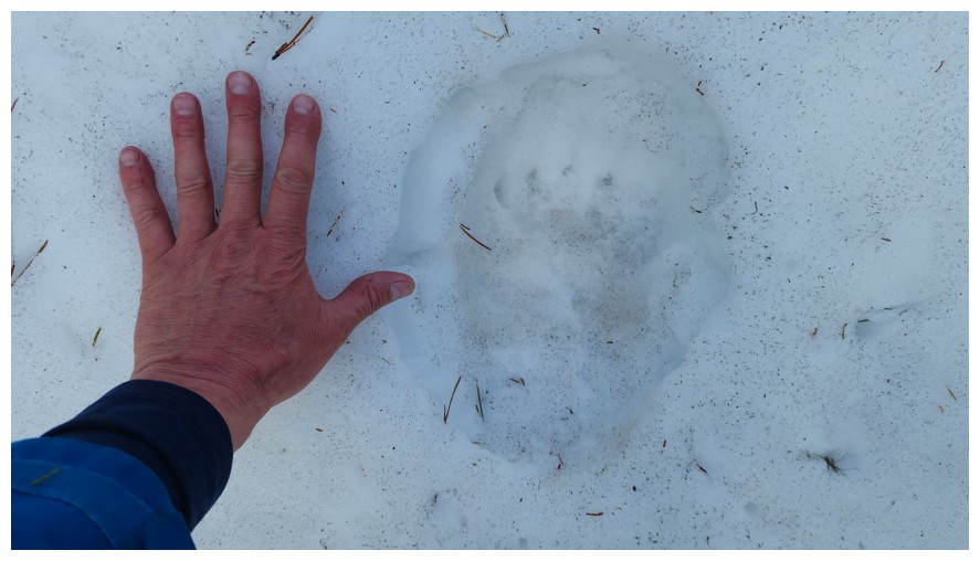
Dave's hand, bear's foot (photo by Dave)
Last of the snow (photo by Dave)
Dave's Fabio-flowing hair/hat
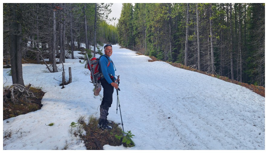
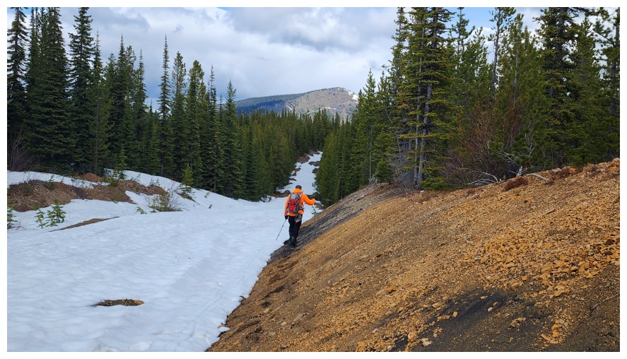
Reluctantly leaving the logging road (photo by Dave)
And into the uninviting forest (photo by Dave)
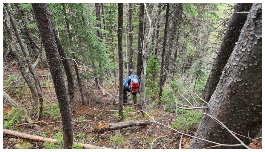
Again, easier terrain than expected (photo by Dave)
Back to that mossy section, sometime later (photo by Dave)
I didn't know why Dave was calling me Blinky (from Pac-Man fame) until he showed me this photo
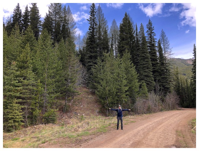
Steps away from the end of a very rewarding trip (photo by Dave)
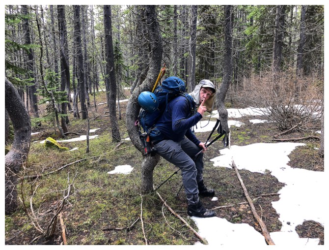
Dave practices the Iron Cross for his next gymnastics competition
The End
LOG