Maverick Hill
Poker Peak III
Ginger Hill
November 2, 2025
Mountain heights: 1875 m, 1935 m,
1611 m
Total elevation gain: approximately 1317 m
Ascent time to
Maverick: 1:10
Traverse Time
to Poker: 1:00
Traverse time
to Ginger: 2:25
Descent time
from Ginger: 1:15
Hiking with
Dave.
Armed with a near
perfect weather forecast for the Crowsnest area, Dave and I met in Pincher
Creek to discuss options for a trip. Unfortunately, given the wall of ominous
clouds blanketing everything to the west, the discussion was not a joyous one!
Trying a bigger objective was out of the question. After several minutes of
blankly staring at each other, 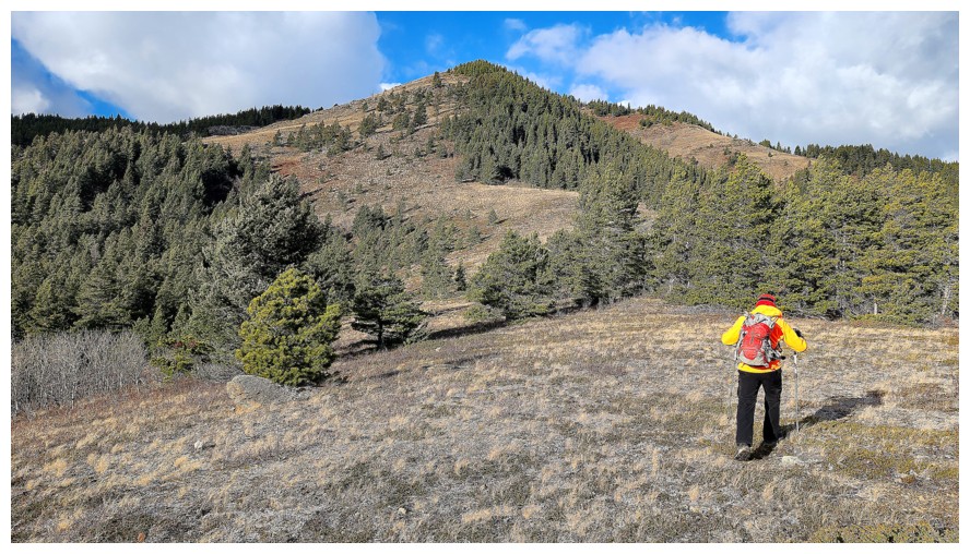 Dave pulled Ginger Hill out of his hat. Neither
of us had ascended the hill, it sat in the front ranges, and appeared to require
minimal effort to get to the top – this was an excellent objective to tackle in
what could be a day of unpredictable and potentially volatile weather.
Dave pulled Ginger Hill out of his hat. Neither
of us had ascended the hill, it sat in the front ranges, and appeared to require
minimal effort to get to the top – this was an excellent objective to tackle in
what could be a day of unpredictable and potentially volatile weather.
En route to the
trailhead we were able to download Sonny Bou’s GPS track. Sonny and company had
ascended Ginger Hill and then traversed all the way over to Byron Hill – a very
impressive effort. We would be happy with just Ginger.
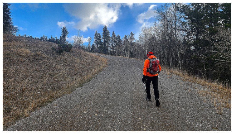
As we hiked up
the approach road (alongside multiple sets of some of the most pronounced bear
tracks I’ve ever seen), we toyed with idea of tagging Maverick Hill first,
simply because of its proximity to the road. Dave had already completed
Maverick, but it would be new to me – game on.
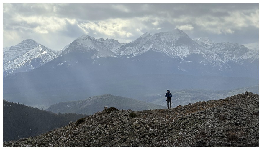
As appearances
dictated, the ascent of Maverick was straightforward and easy. Even the weather
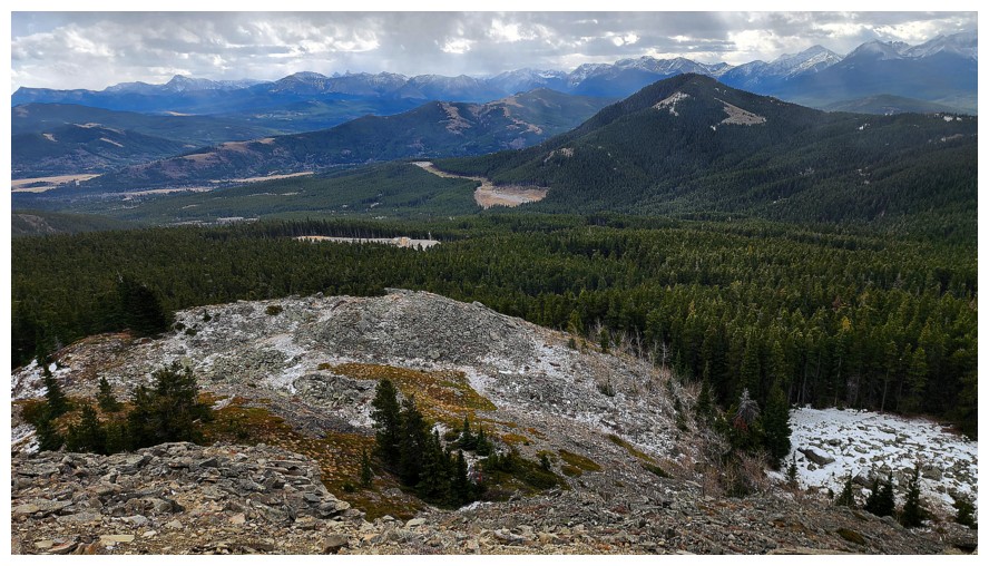
treated us kindly – for now! And the views were much better than expected,
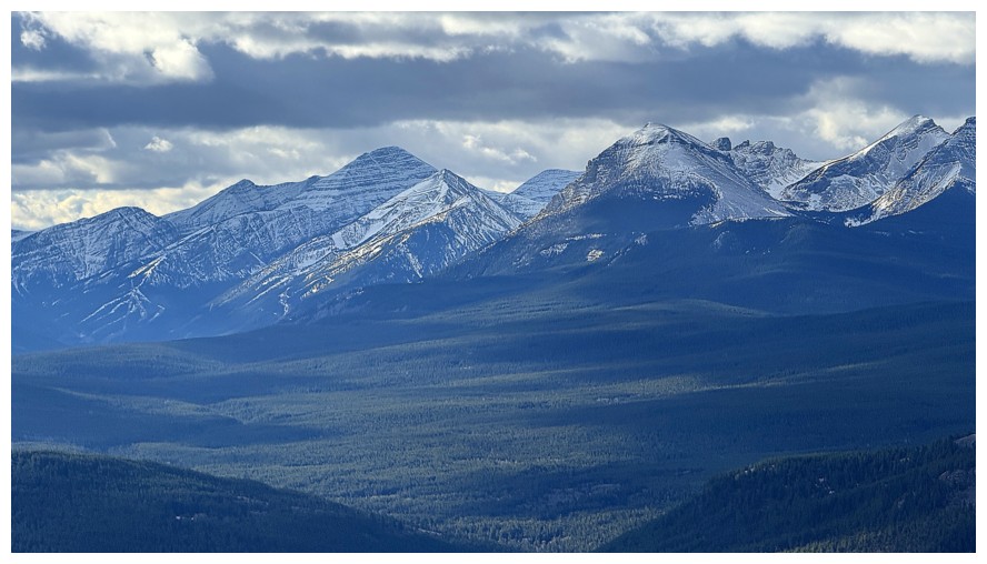
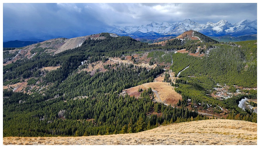
featuring many of the impressive peaks of the lengthy Flathead Range to the west.
What next?
Retrace our steps and head over to Ginger? Not yet. Since Poker Peak was a mere 2 km ridgewalk away, we decided to go for Poker
first and then attempt to traverse the long ridge from Poker to Ginger. 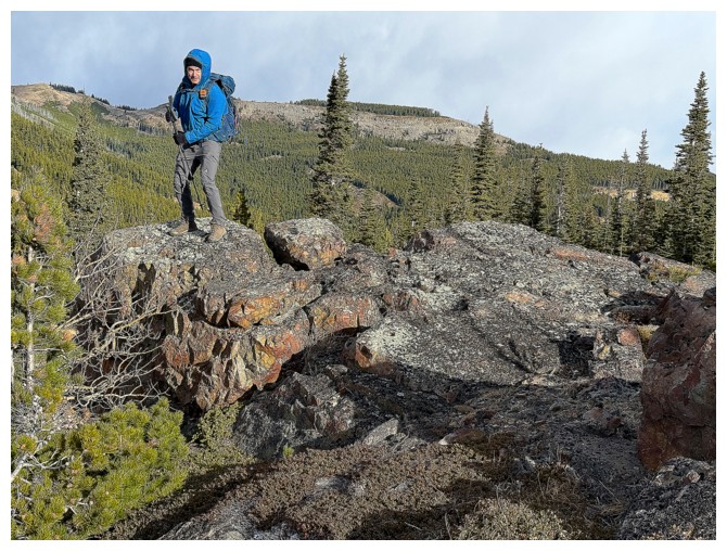 Suddenly
a one-peak day was looking more like a three-peak day and mostly on new terrain
for me.
Suddenly
a one-peak day was looking more like a three-peak day and mostly on new terrain
for me.
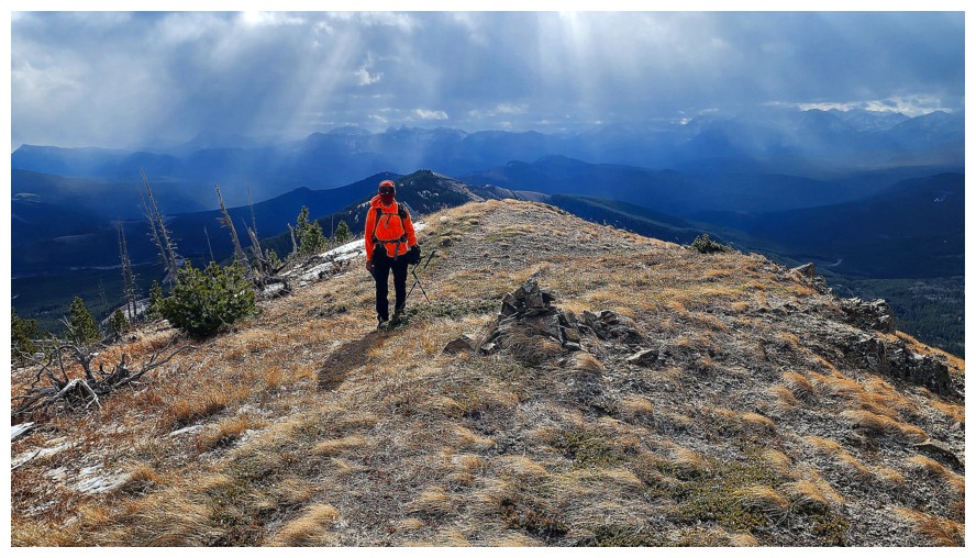
The traverse
over to Poker was enjoyable on every level; even the rapidly deteriorating
weather became a source of entertainment. We were both happy not to be further
north, where ominous, dark clouds consumed all the peaks. Our stay at the
summit amounted to less than two minutes. This was a third ascent of Poker for
both Dave and me, and we wanted to start the trek to Ginger before the vicious
weather moved our way.
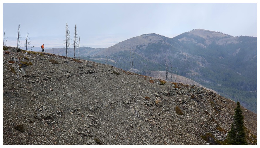
That trek WAS
in fact a trek! It started with a rewarding hike to the next highpoint – more
of a flat, treed plateau that looked like a punk-rock haircut from afar. En route we
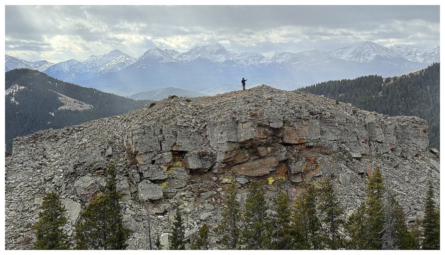
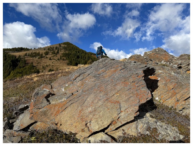
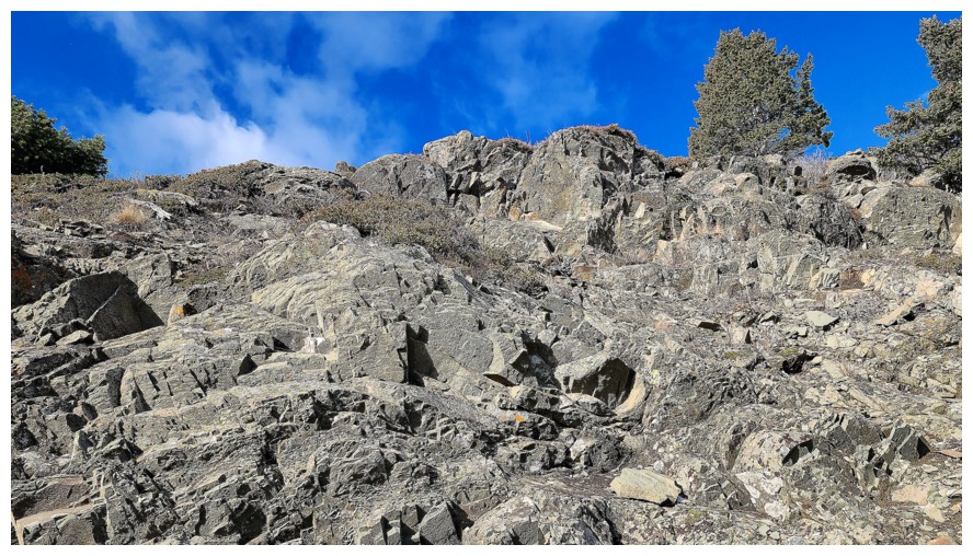
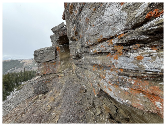
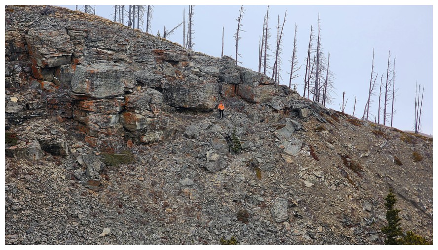
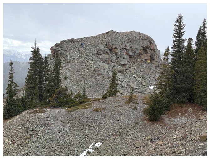
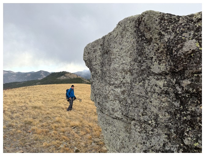
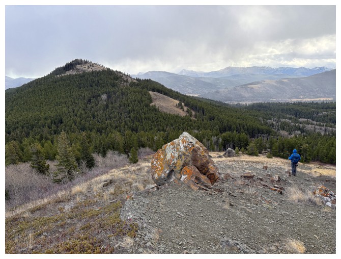
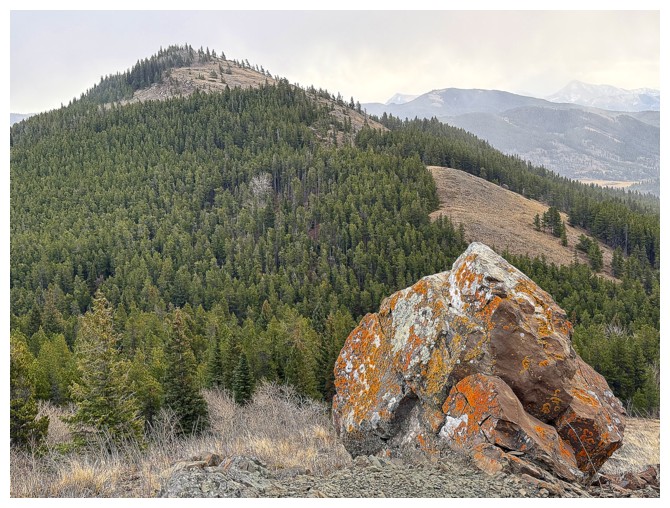
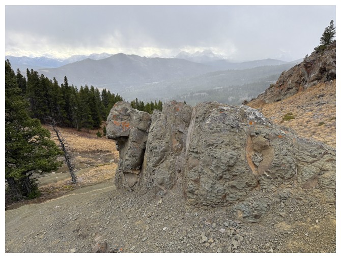
spotted an interesting rock outcrop that begged a closer look. The outcrop and
the rocky terrain around it turned into one of the highlights of the day. Both
looked very much out of place, surrounded by hilly and grassy terrain. 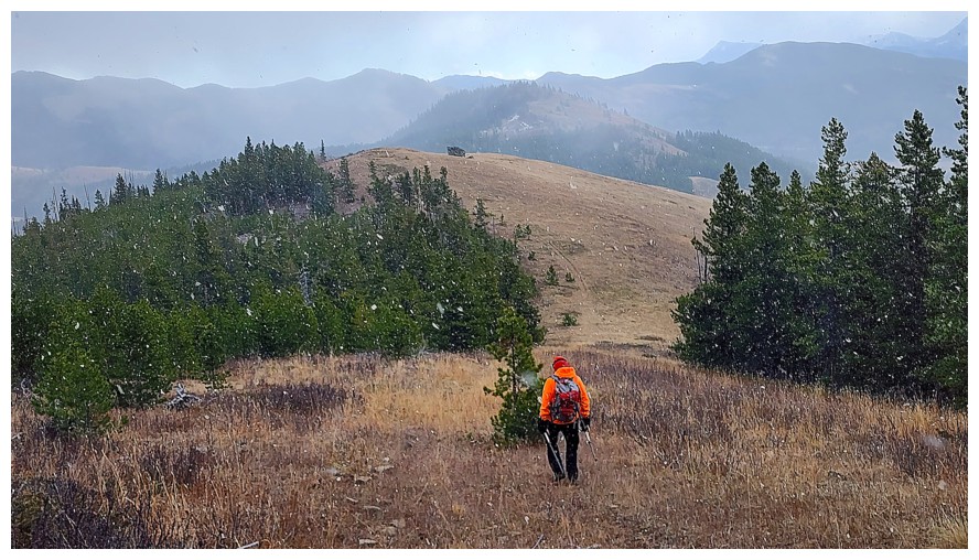 Dave had
the energy to run up to the summit of the rock; I had the energy to remain
completely still and watch Dave!
Dave had
the energy to run up to the summit of the rock; I had the energy to remain
completely still and watch Dave!
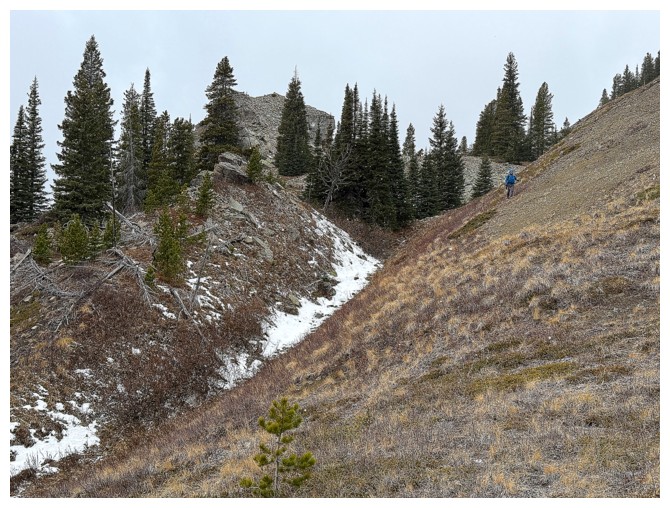
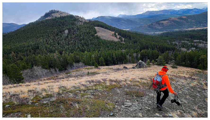
We then
continued following the ups and downs of the ridge, encountering only one short
section of unpleasantness in the form of bush and deadfall. Dave led the way
throughout. Much later than sooner, thanks to my painfully slow, plodding pace,
we arrived at the summit of Ginger Hill. Views were limited, due to an almost
complete breakdown of the weather by that time. I don’t think either of us
cared that much; we were just happy to have reached the third and final summit
of the day.
Just as
importantly, how were we going to get back to Dave’s vehicle, without retracing
our steps all the way back to Poker and Maverick – a most unsavoury prospect! Thank
you, Sonny Bou!! Sonny’s route to Ginger followed an excellent and very direct
trail back to the approach road. And of course we took it on return. The entire
return trip took a mere and merciful 75 minutes.
Great call Dave!
A terrific trip to salvage what could have been a total bust of a day. With
that easy descent/ascent route I could even be coaxed to repeat Ginger on a
clear day. And thanks, once again, to Sonny for that invaluable GPS track.
Click HERE to see Dave's excellent report.
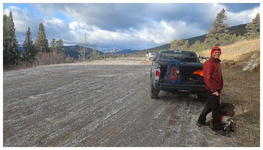
Gearing up at the trailhead (photo by Dave)
Off
we go. We thought we were taking a direct route through the bush but
ran into the approach road not more than 30 seconds after leaving the
parking area! (photo by Dave)
30 seconds after the previous photo (photo by Dave)
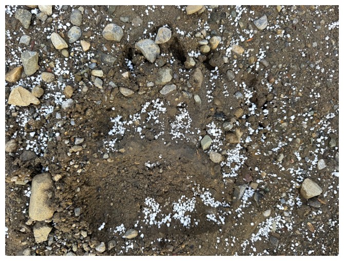
Bear print in the mud
Following the road and the bear prints (photo by Dave)
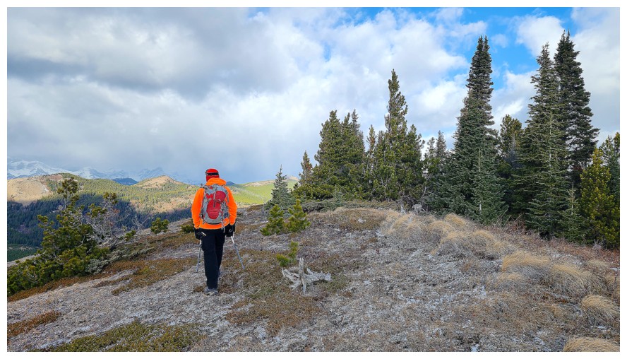
Maverick Hill (photo by Dave)
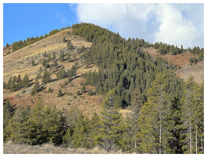
Close-up of the first part of the route
A few trails made easy work of the initial part of the ascent (photo by Dave)
And some lichen-cover rock added to the pleasant scenery
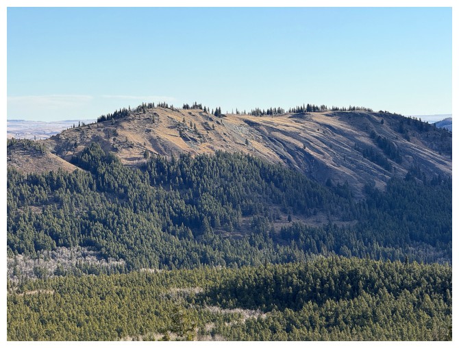
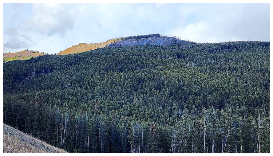
Close-up of Ginger Hill
Ginger at the right (photo by Dave)
Dave finds a cool rock band (photo by Dave)
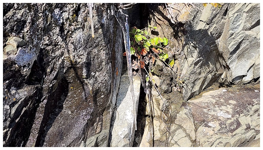
And a sign of winter (photo by Dave)
I've found some rock too
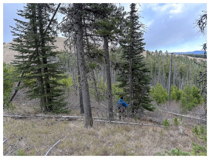
Dave's view of me and a tree (photo by Dave)
My view of the tree. Dave is up there somewhere.
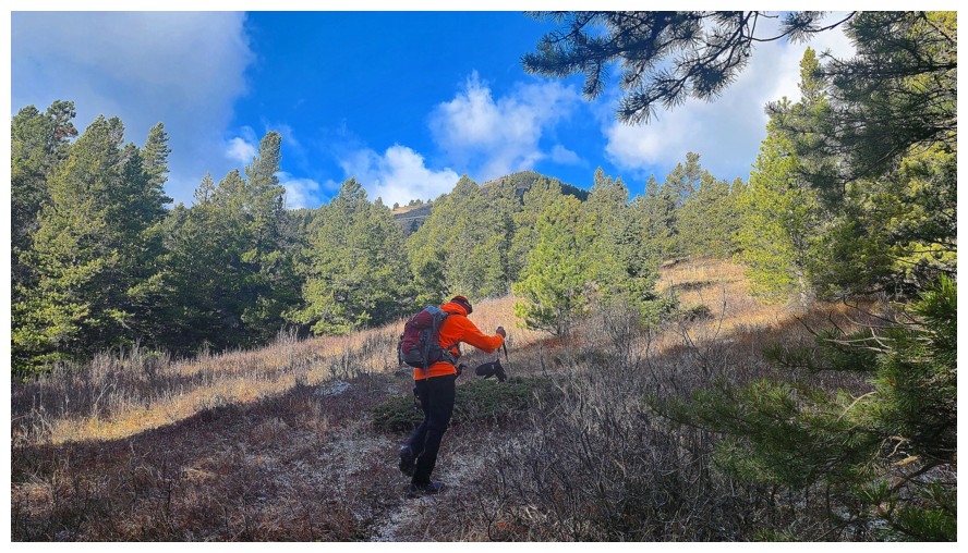
Easy terrain, nice views
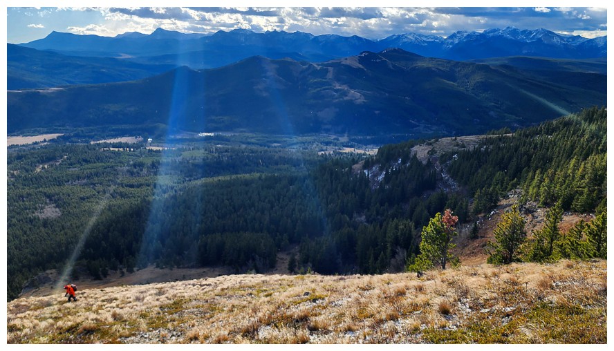
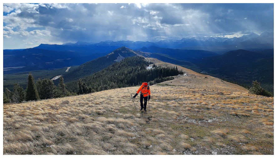
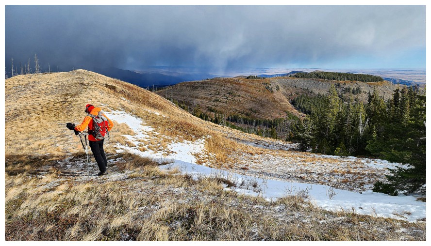
The rays of Sunshine are missing me. Perhaps I'm not the angel I thought I was! (photo by Dave)
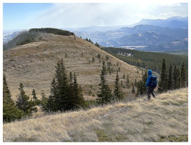
Approaching the summit (photo by Dave)
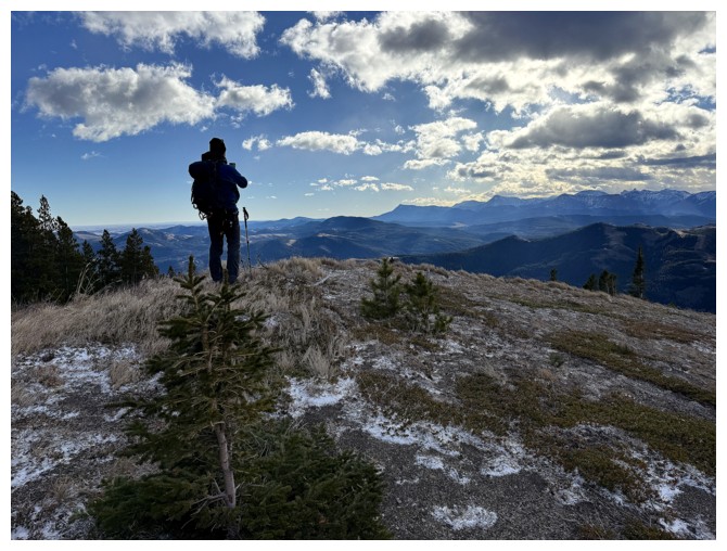
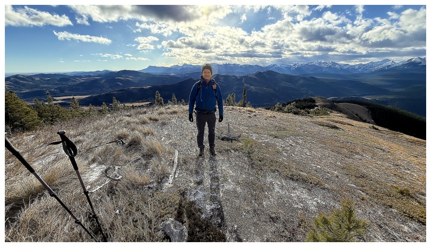
Dave at the top of Maverick
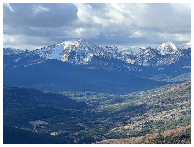
Mount McCarty is still on the to-do list
Carbondale Hill in the foreground (photo by Dave)
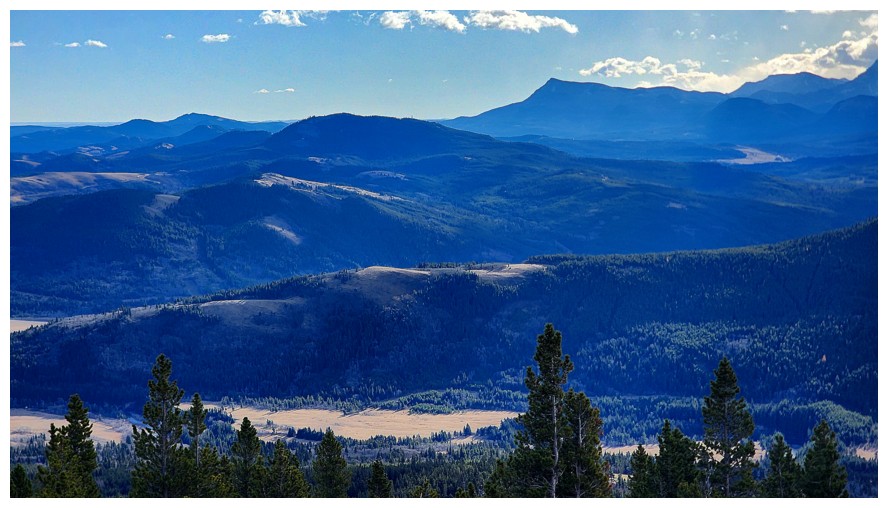
Prairie Bluff just right of centre (photo by Dave)
Mount Darrah and some of its outliers
The southern outliers
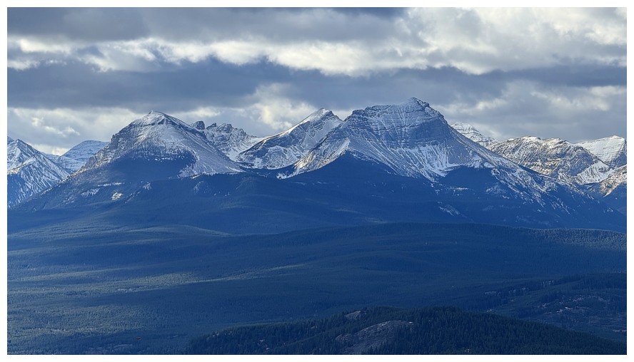
The three peaks of Syncline Mountain
Mount Haig and Gravenstafel Ridge, left of centre
Dave does actually look quite angelic!
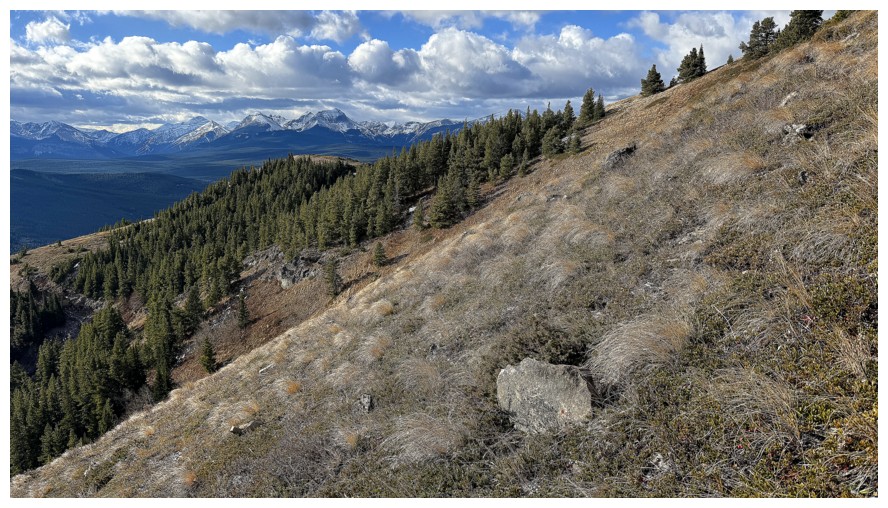
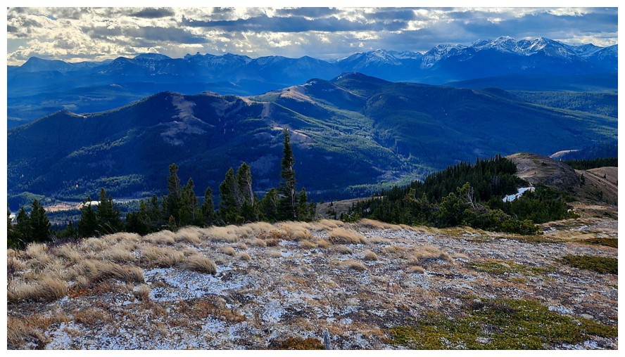
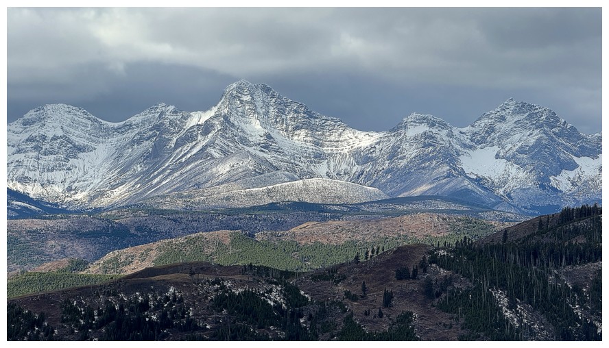
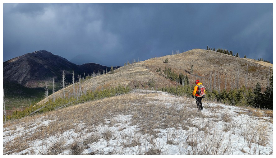
Hastings Ridge and Club's Peak (photo by Dave)
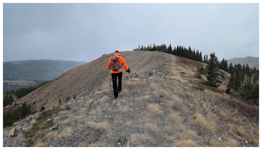
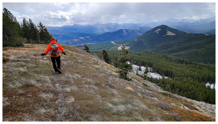
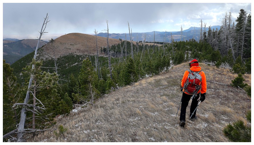
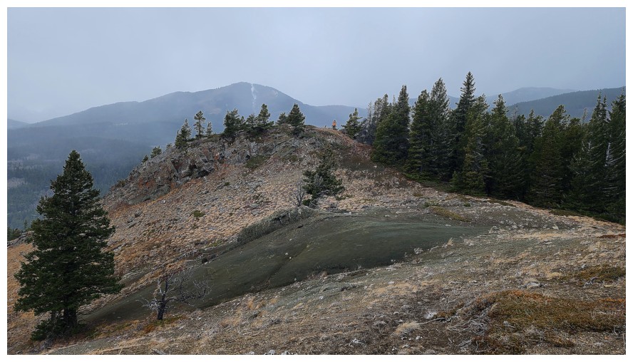
Poker Peak is 2 km to the north (photo by Dave)
The Sun is making my orange yellow (photo by Dave)
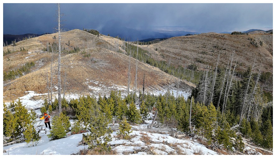
Dave descends the north ridge of Maverick
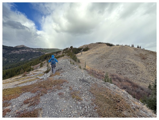
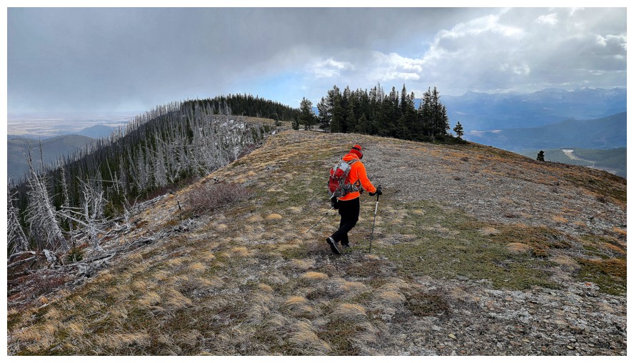
Lots and ups and downs along the ridge
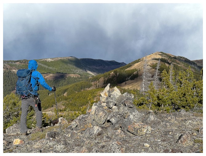
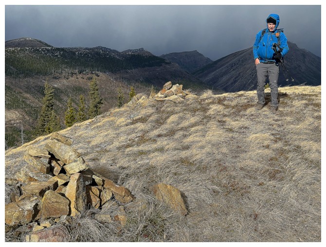
Dave passes by a very random cairn
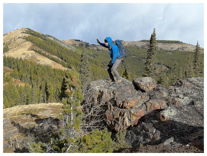
Then Dave does something to make Brad proud!
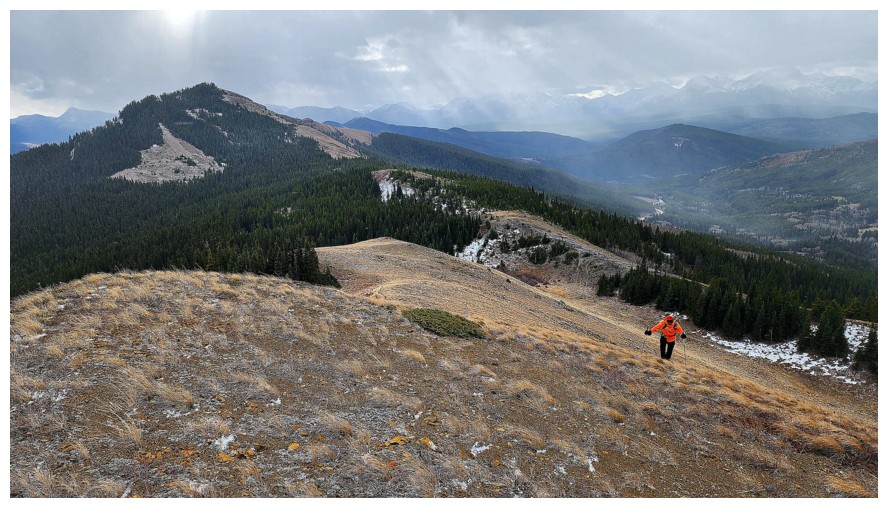
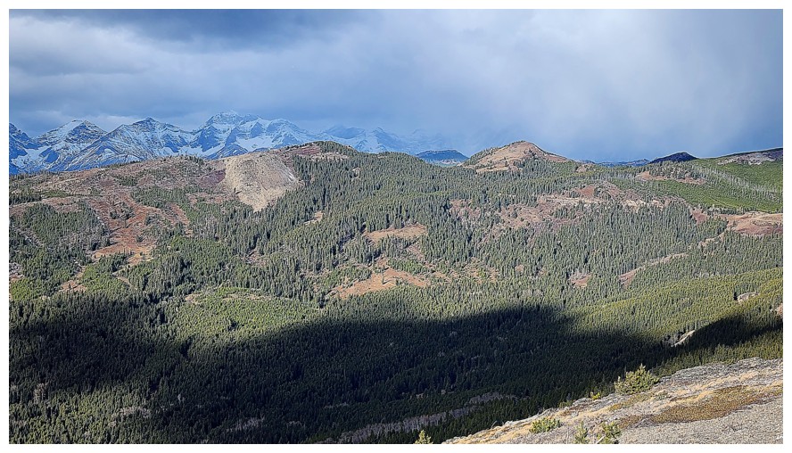
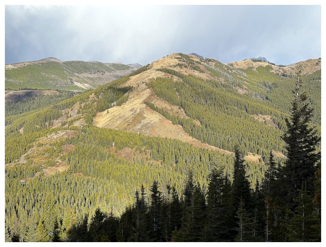
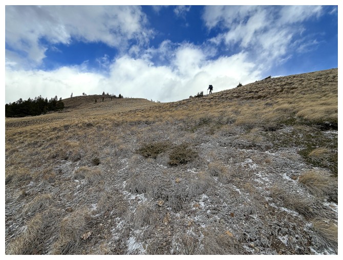
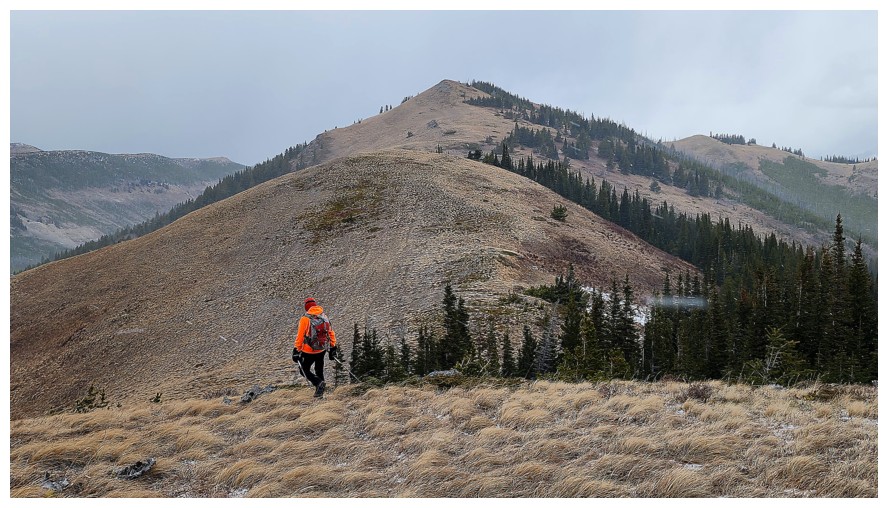
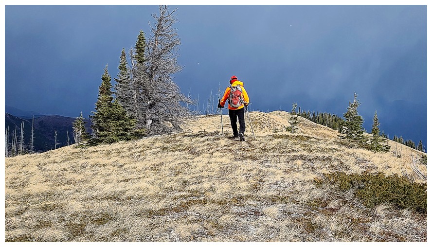
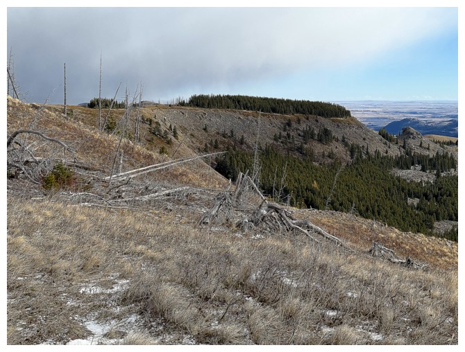
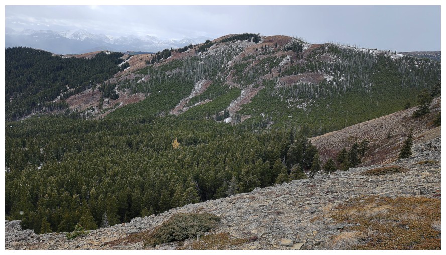
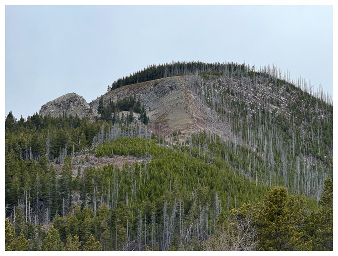
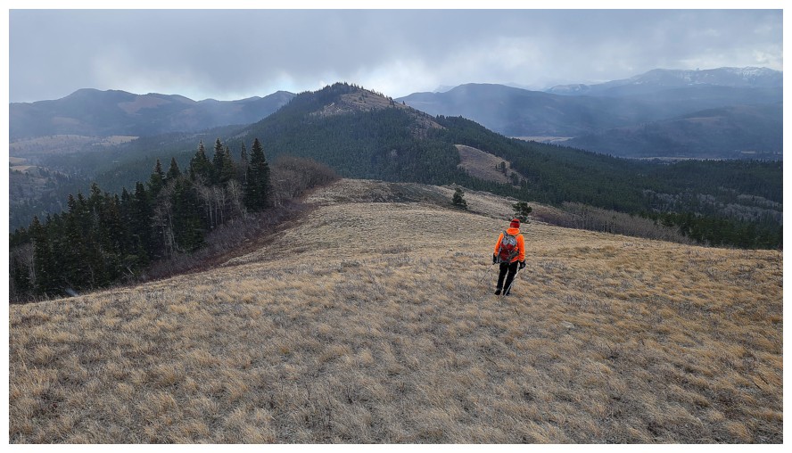
Looking
northeast to the flat peak we will eventually go across to get to
Ginger. I'll call it "Flattop Peak" for now (photo by Dave).
Going down again (photo by Dave)
Looking back to Maverick (photo by Dave)
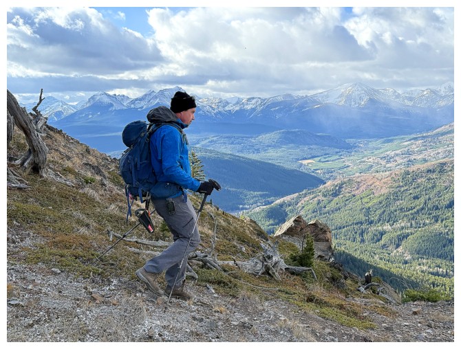
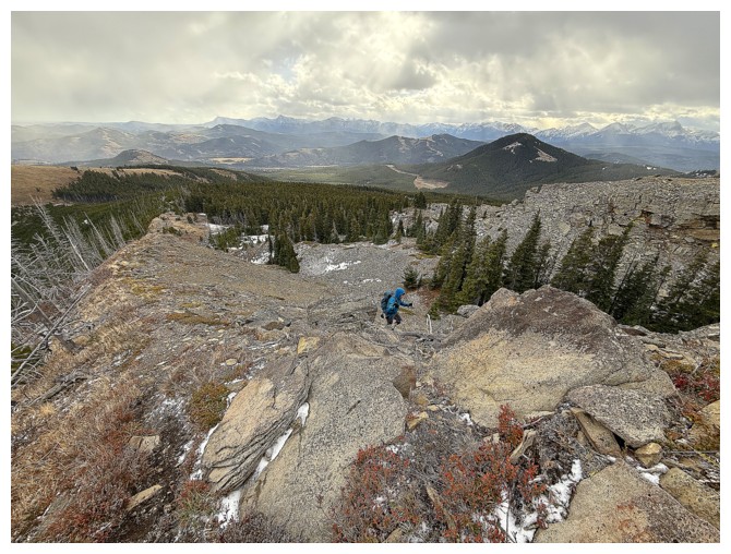
Going up
Dave took the high road for this section
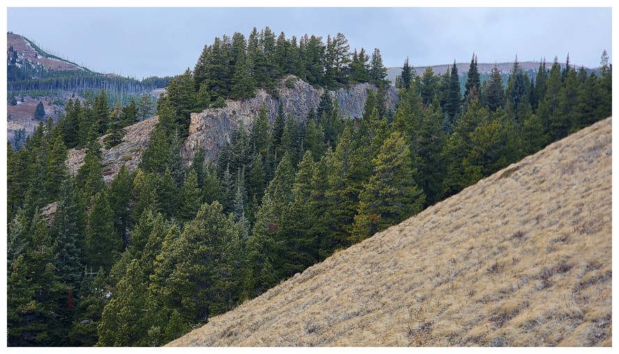
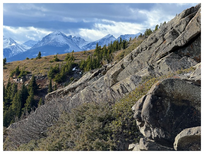
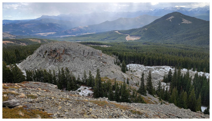
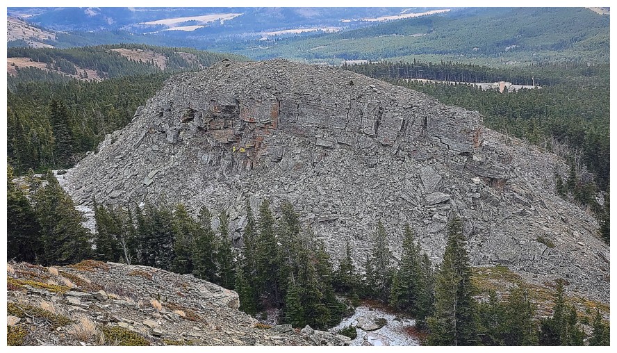
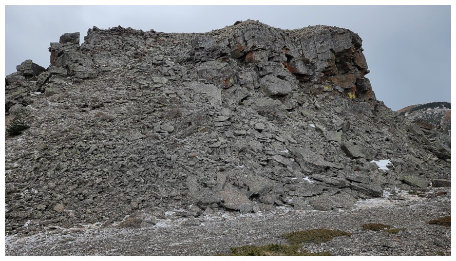
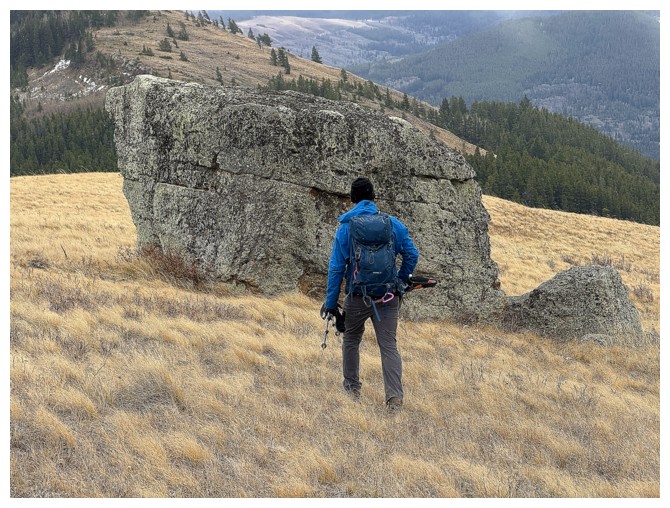
A super cool, vertical outcrop (photo by Dave)
Close-up (photo by Dave)
Approaching the summit? (photo by Dave)
No! Going down again, but the summit is now visible (photo by Dave).
Ginger Hill is now looking quite distant (photo by Dave)
Dave leads us to the summit
I'm dragging my butt, and will do so from hereon in (photo by Dave)
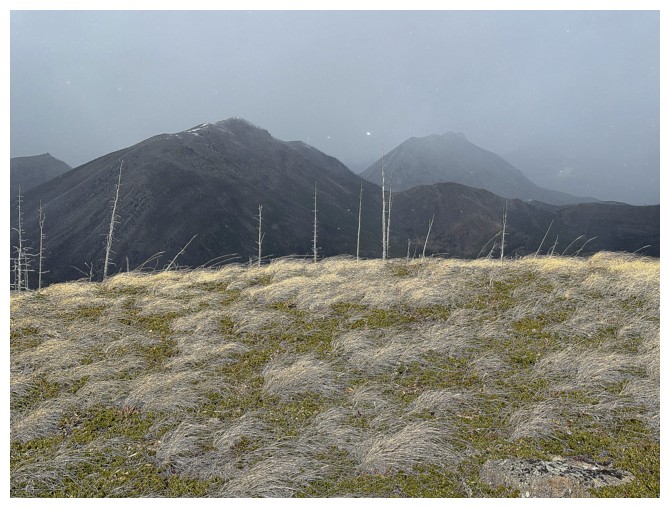
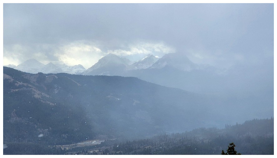
Dave at the top and the ominous weather to the north
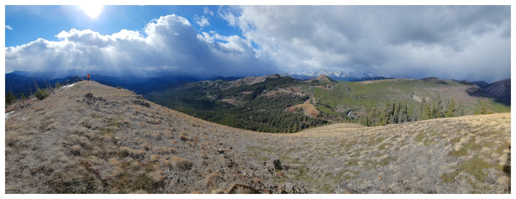
South and west are looking decent (photo by Dave)
Scary north (photo by Dave)
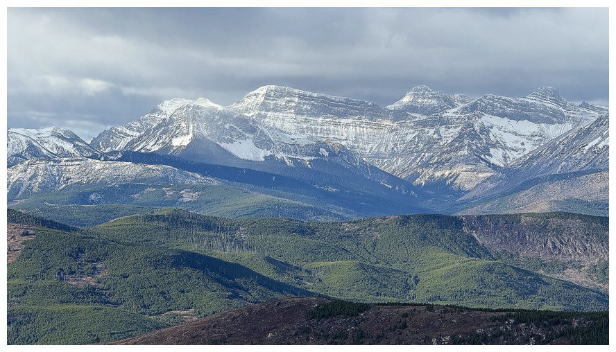
Hastings and Clubs again, with the Flathead Range behind. Now the Adanac Road is visible (photo by Dave).
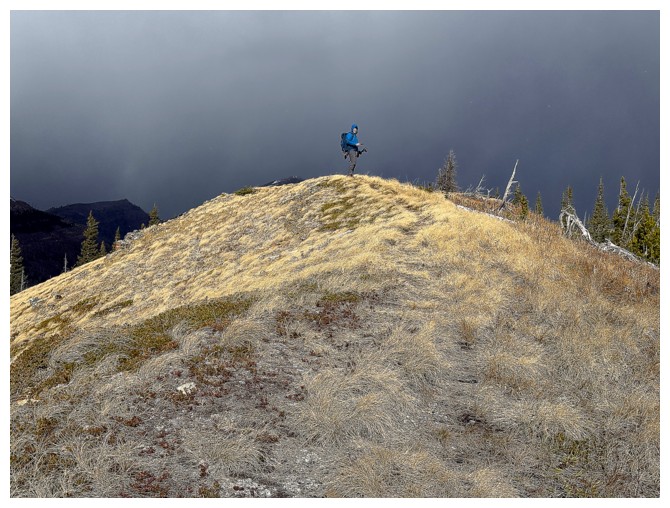
My moment of summit glory (photo by Dave)
Two cairns and a Dave at the top
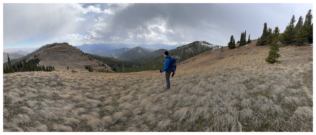
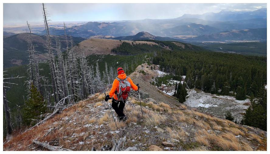
Continuing north along the ridge (photo by Dave)
Flattop at the right (photo by Dave)
Still going north, but eventually we will turn southeast towards Flattop (photo by Dave)
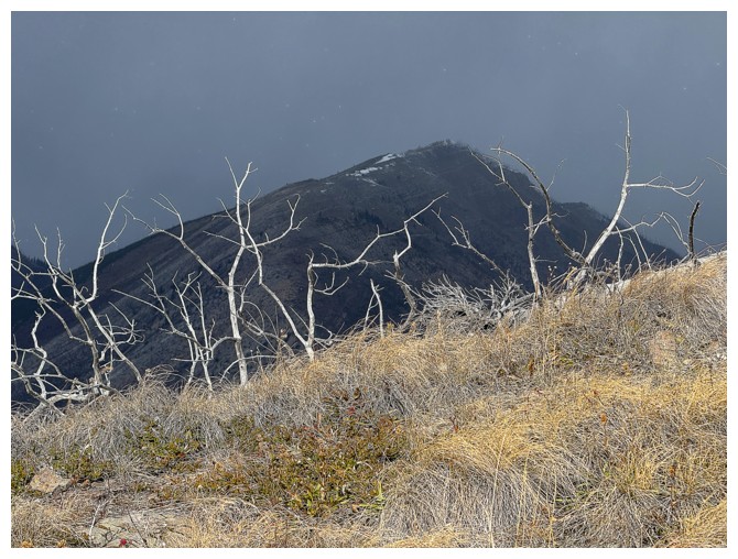
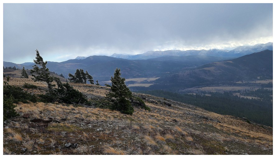
The spiky trees make the view north look even more ominous/devilish
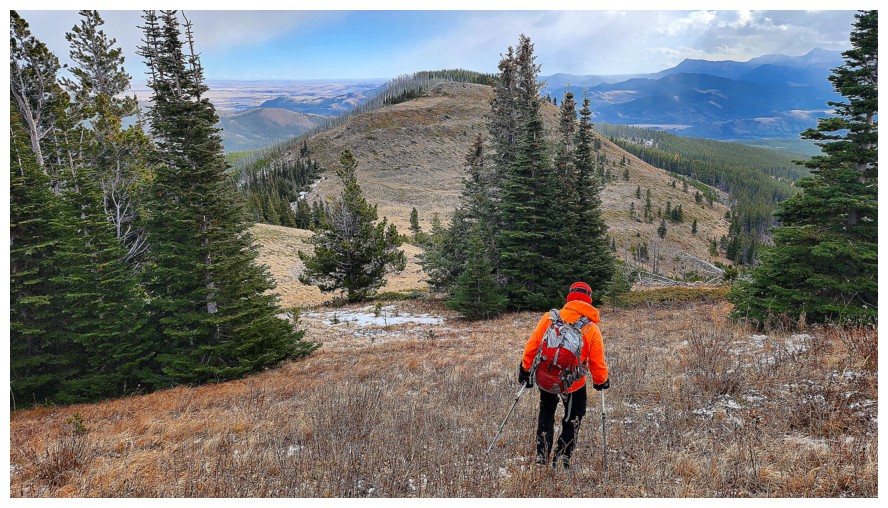
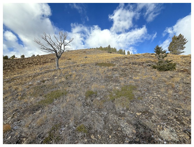
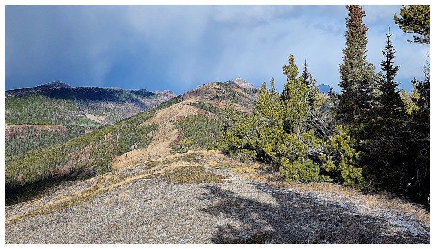
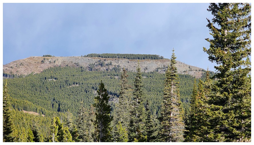
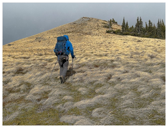
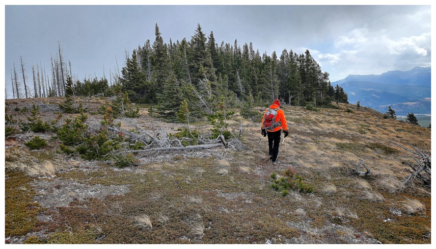
Flattop
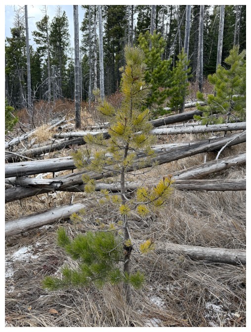
Typical dead tree
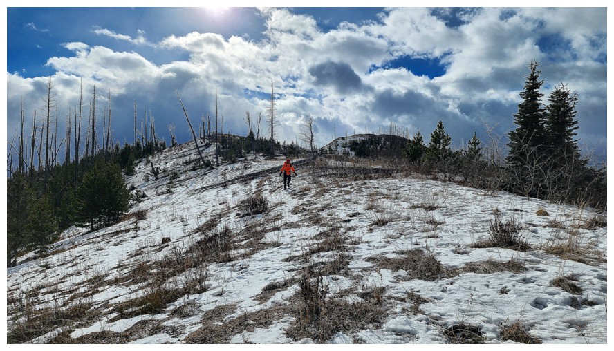
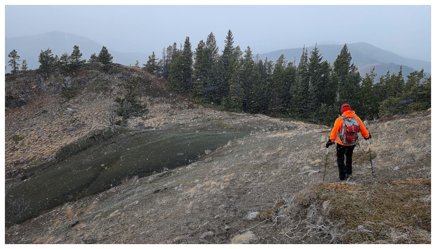
The only section of the day with snow (photo by Dave)
I'm
only in front because Dave waited for me, so he could get this photo.
The same is true for every other photo from here to the end where I'm
in front (photo by Dave).
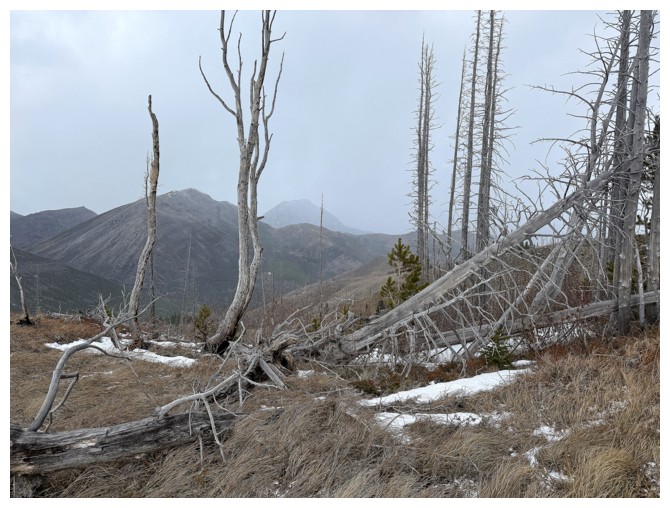
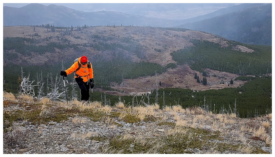
Dead trees and murky conditions
Now on new terrain for both us, descending to the lowpoint before Flattop
The bad weather again
The good Dave again
Still descending (photo by Dave)
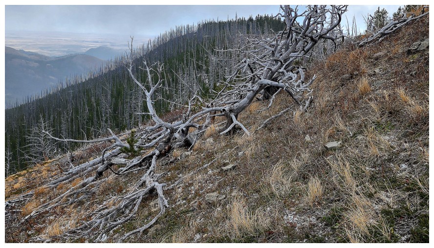
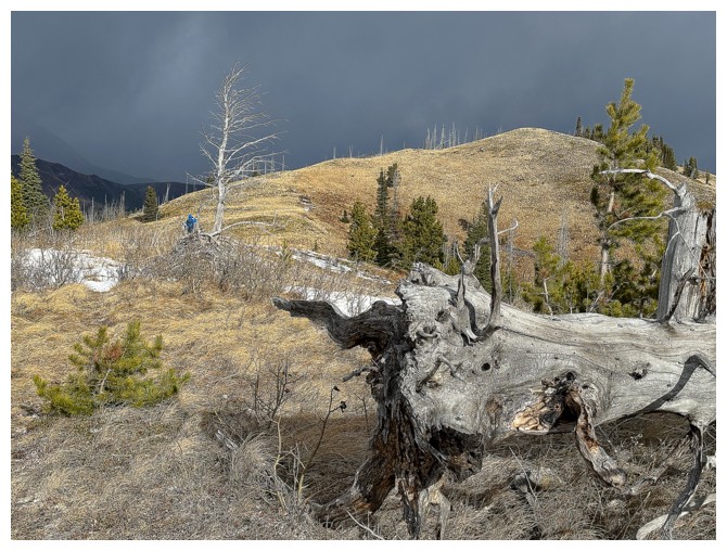
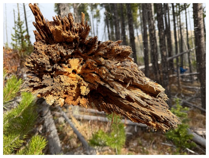
Very cool dead tree (photo by Dave)
I look exhausted again (probably because I am) (photo by Dave)
Heading to the right side of Flattop to see the rock outcrop we spotted earlier (photo by Dave)
Same as above (photo by Dave)
It that a yellow larch in November? (photo by Dave)
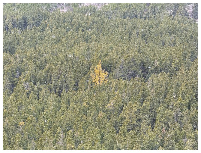
Yes it is!
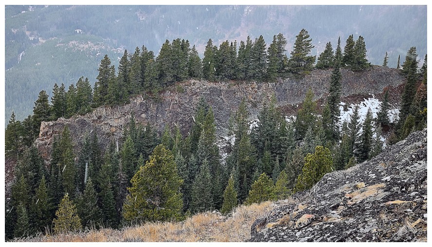
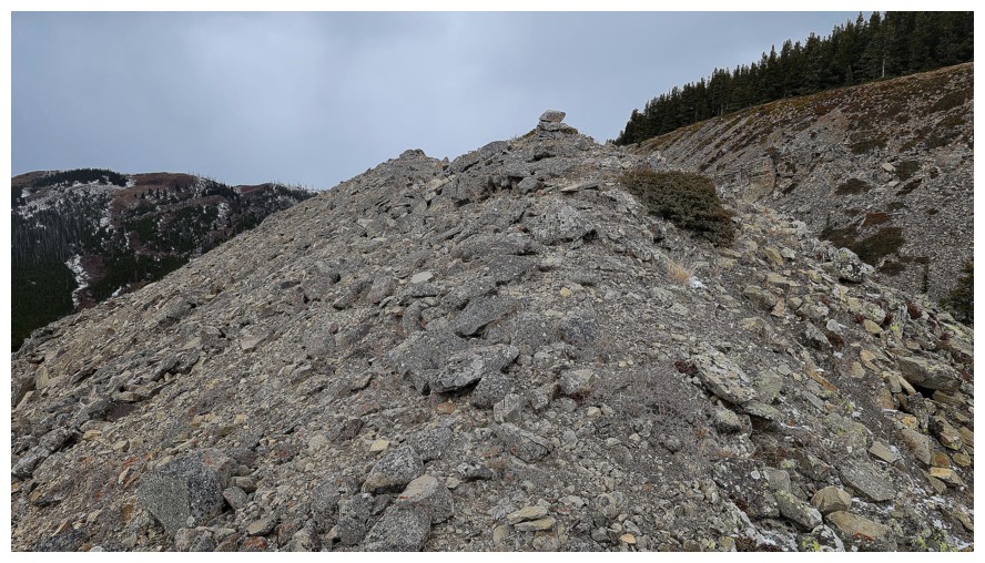
Approaching one of the cooler sections of the trip (photo by Dave)
There is it (photo by Dave)
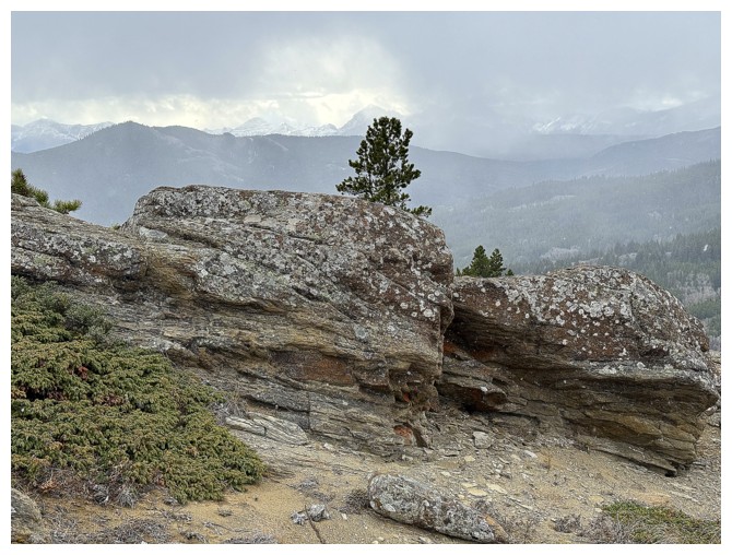
The rocky outcrop Dave will soon ascend (photo by Dave)
Ginger Hill (centre) still looks distant (photo by Dave)
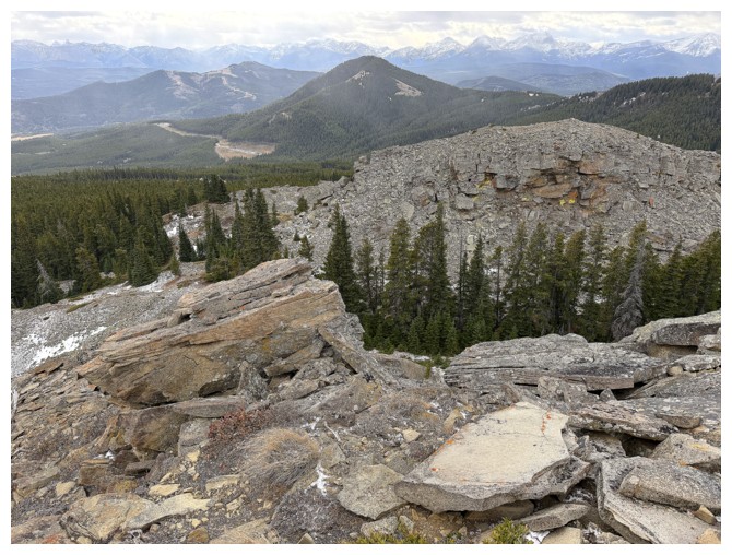
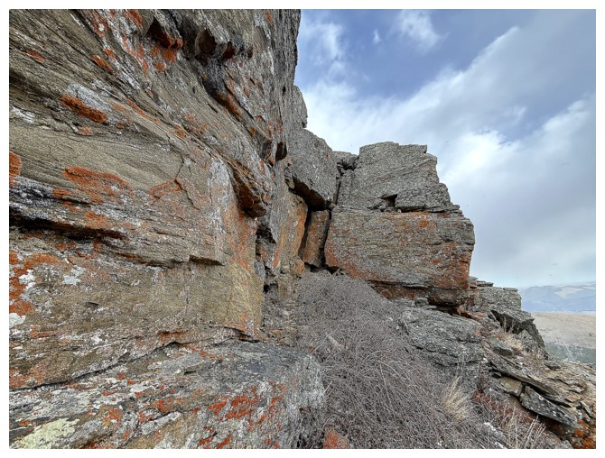
We both enjoyed the rock here, given most of the trip was on grassy terrain
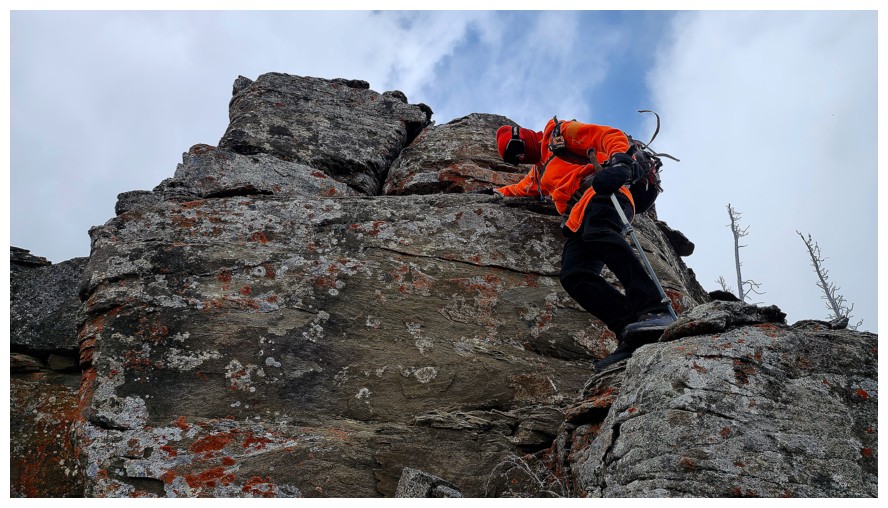
Dave eyes up that outcrop
And then goes for it
I descended below the ridge to check out the rock (photo by Dave)
In one direction
...in the other
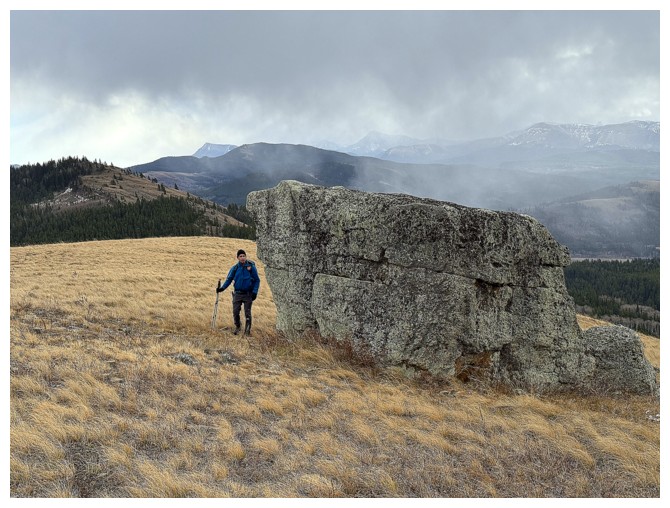
Dave is already at the base (photo by Dave)

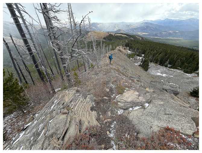
Gaining the ridge of the outcrop
Dave approaches the outcrop cairn (photo by Dave)
Dave's
views of me. In order to conserve energy, except for lifting up my
phone to take photos, I was completely motionless! (photo by Dave)
View to the south from the top of the outcrop (photo by Dave)
Dave and Syncline
I start descending the ridge (photo by Dave)
Dave descends the outcrop
Same as above
The next highpoint along the ridge at the left (photo by Dave)
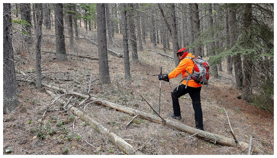
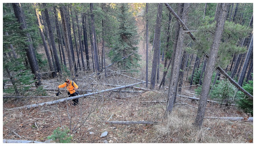
Here comes the only challenging section of the ascent
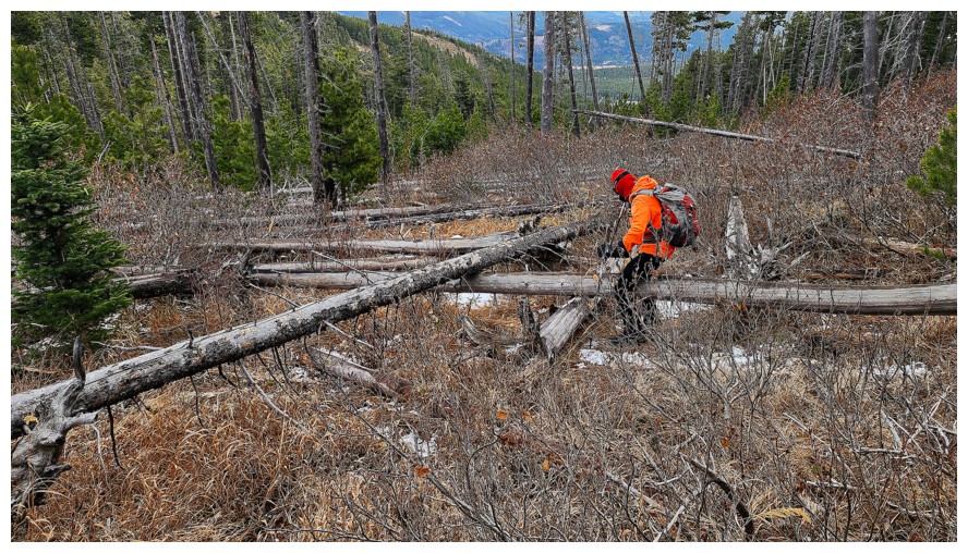
Negotiating some of the deadfall (photo by Dave)
A yellow tree, but it's not a larch
Colourful inside of a tree and Dave lurking at the right
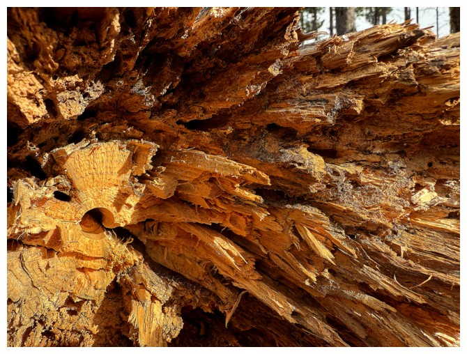
Just the tree
We decided to side-slope the highpoint (photo by Dave)
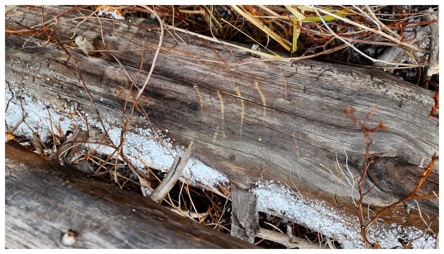
A bear has been here (photo by Dave)
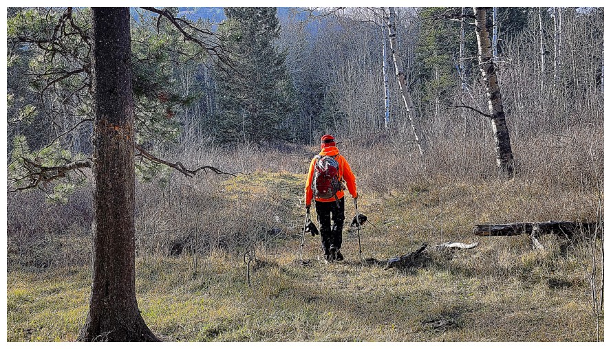
Back to easy terrain (photo by Dave)
Looking back to the cool, rocky section
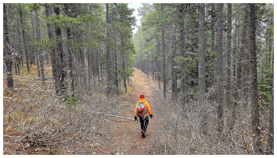
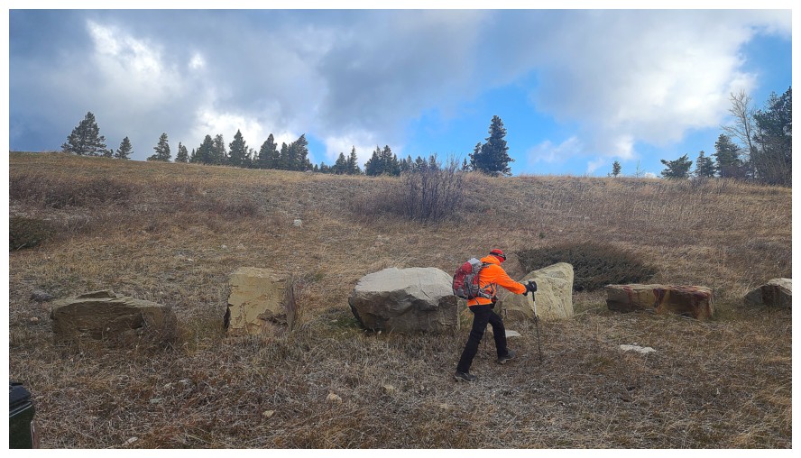
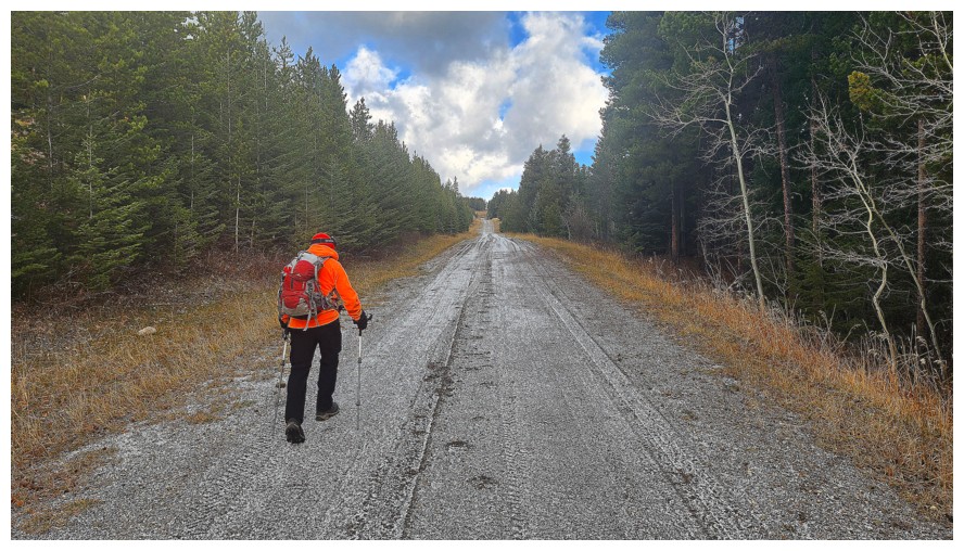
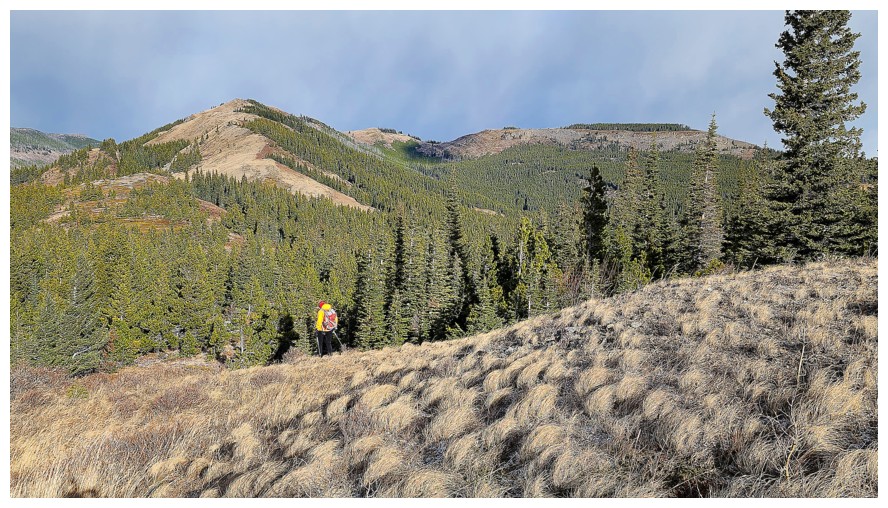
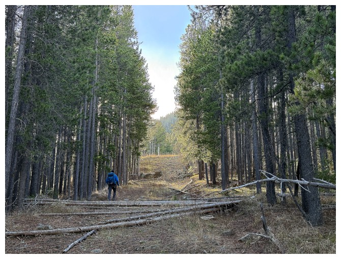
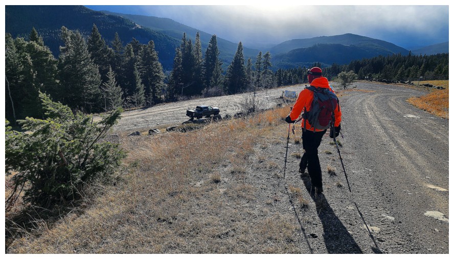
A road!! We were both ecstatic to stumble upon this gem (photo by Dave).

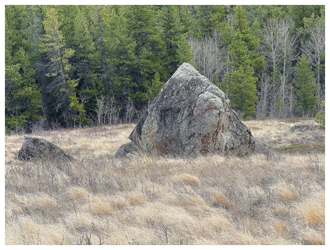
Ginger Hill and a random boulder (an erratic, perhaps?)
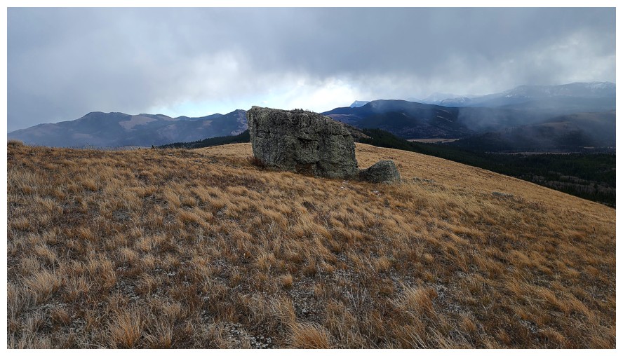
It looks lonely (photo by Dave)
Dave approaches
He looked for a climbing route up it, but there wasn't one
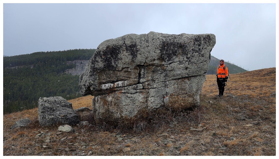
My turn (photo by Dave)
Playing "boulder peak-a-boo"
Onward (photo by Dave)
Another interesting rock
Close-up
The last bit of elevation to lose before ascending the actual Hill (photo by Dave)
The third erratic
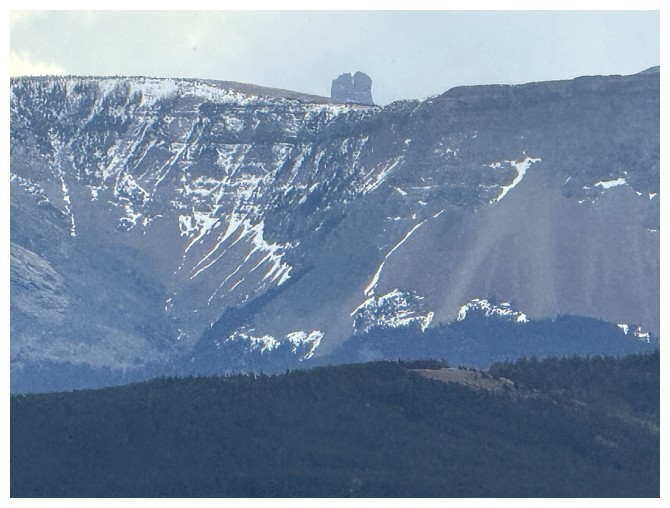
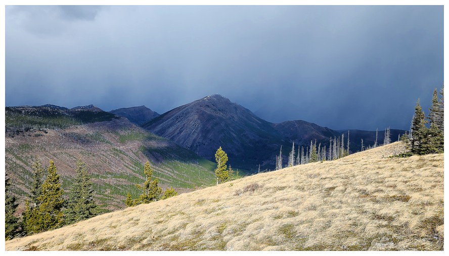
Castle Peak makes a surprising appearance
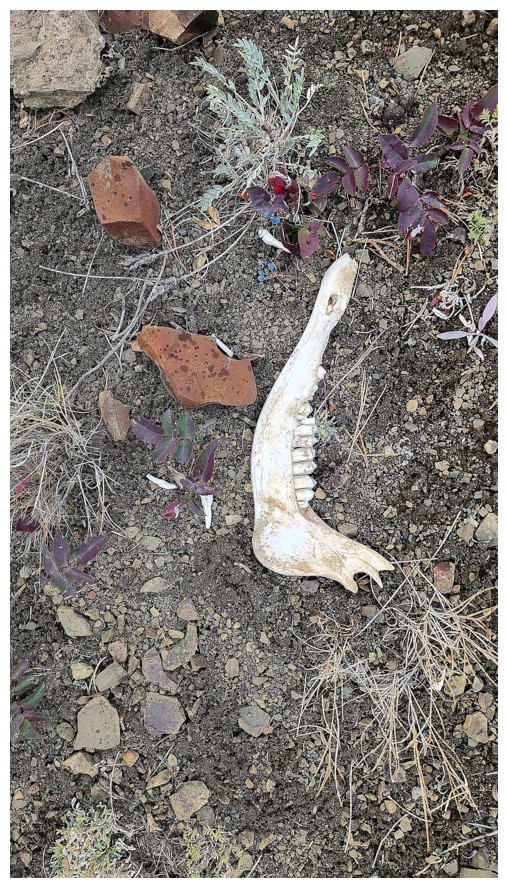
Someone lost a jawbone (photo by Dave)
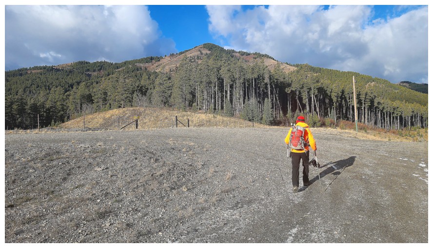
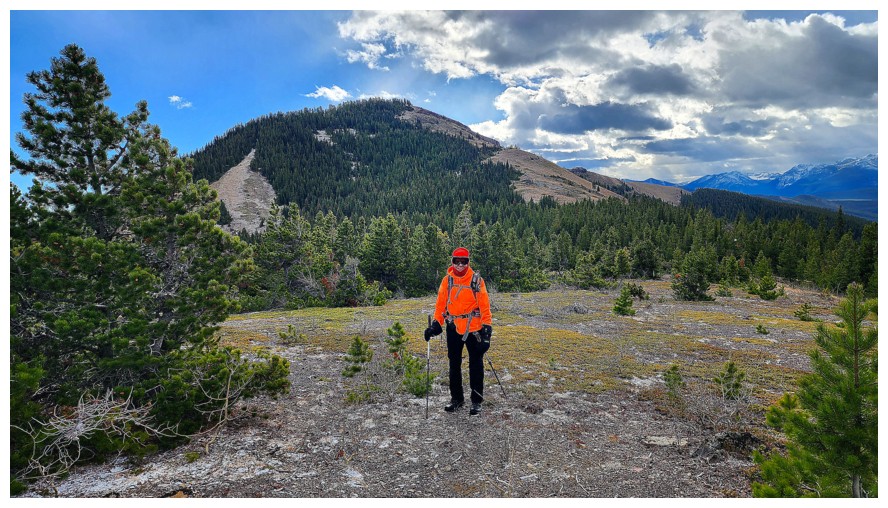
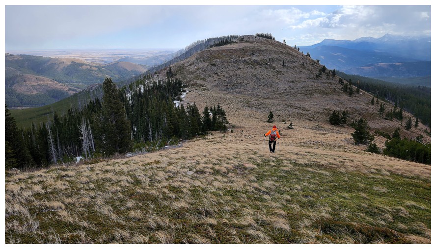
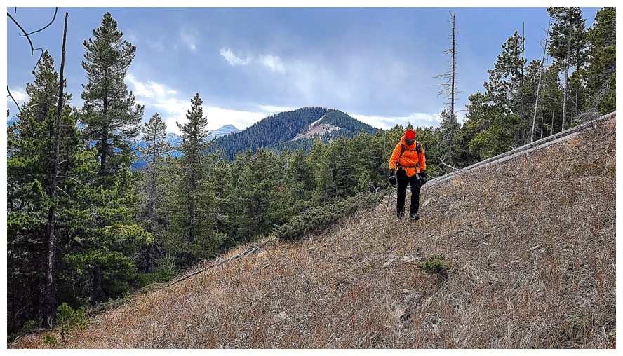
Slogging up the lower slopes with Maverick behind (photo by Dave)
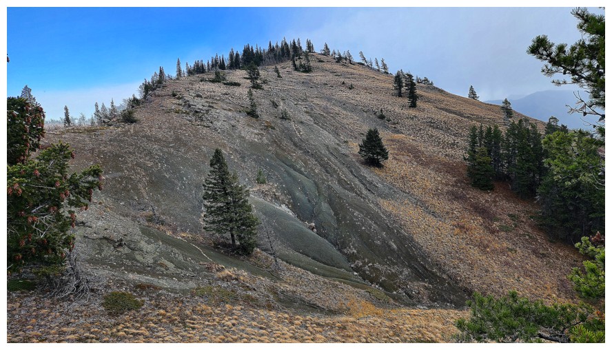
The very cool final ascent slope (photo by Dave)
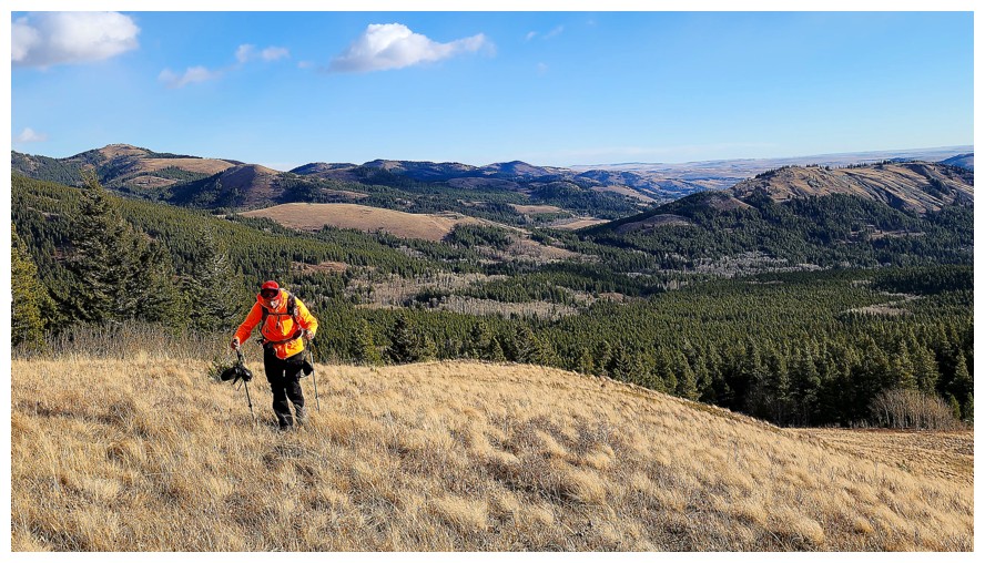
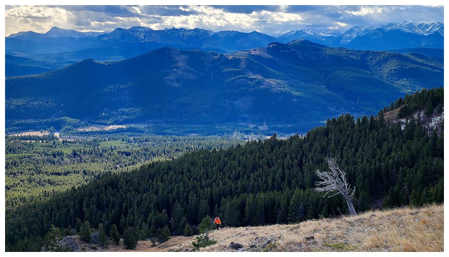
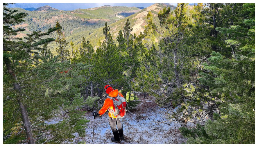
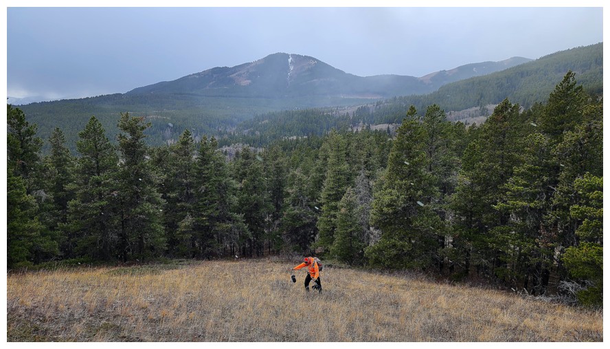
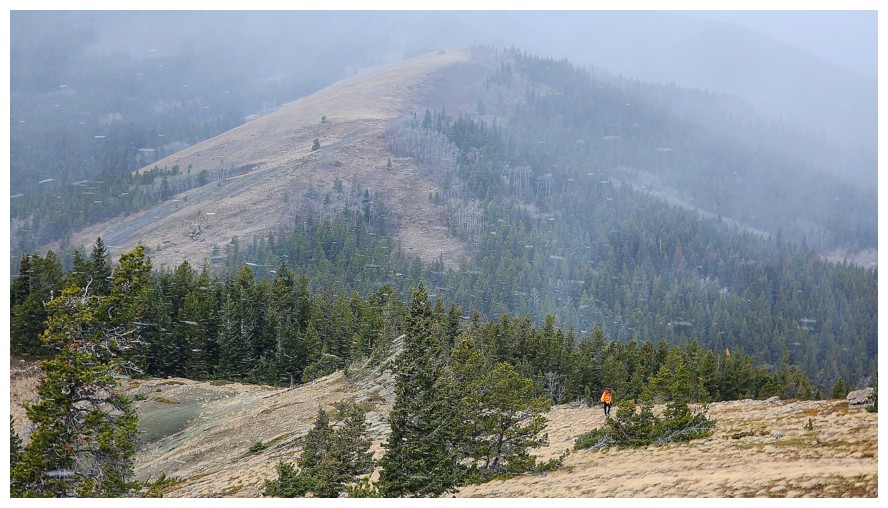
Lagging behind again - spot the orange dot (photo by Dave).
Needed an excuse to catch my breath and this rocky protrusion provided it
This one too
The worst weather of the day accompanied us on Ginger (photo by Dave)
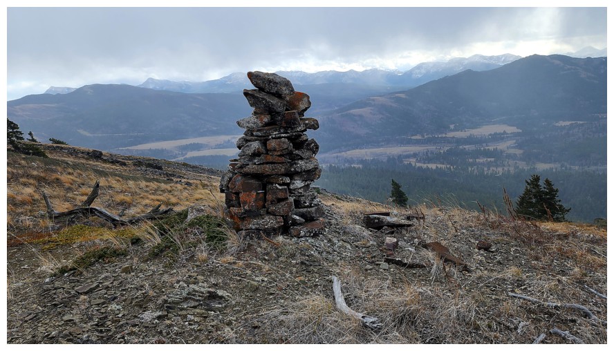
Big cairn for a small hill (photo by Dave)
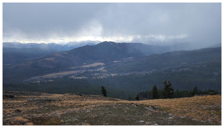
View to the southeast (photo by Dave)

Maverick (photo by Dave)
East (photo by Dave)
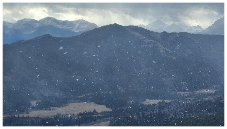
Snowing (photo by Dave)
Peaks of The Castle are disappearing (photo by Dave)
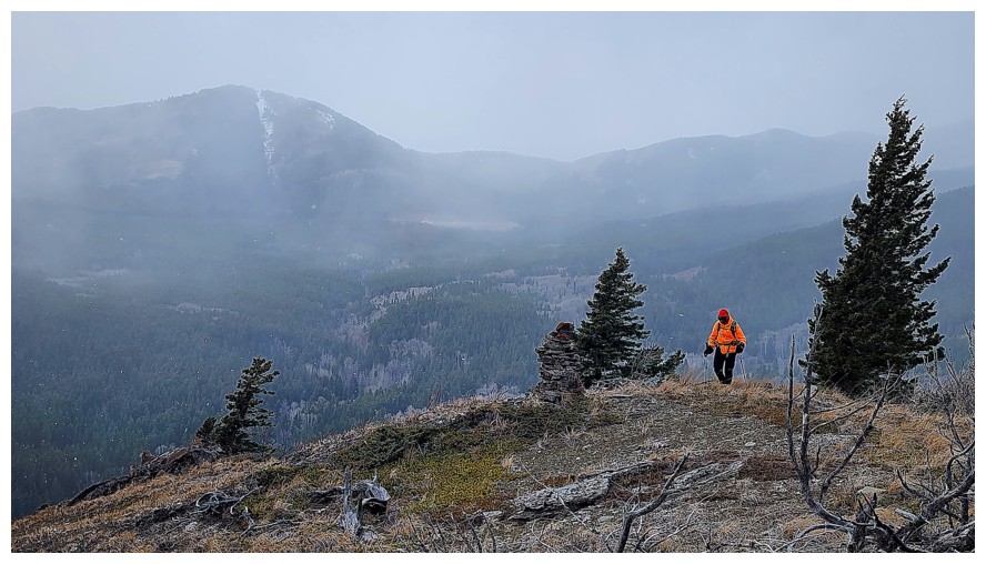
Finally I arrive at the top (photo by Dave)
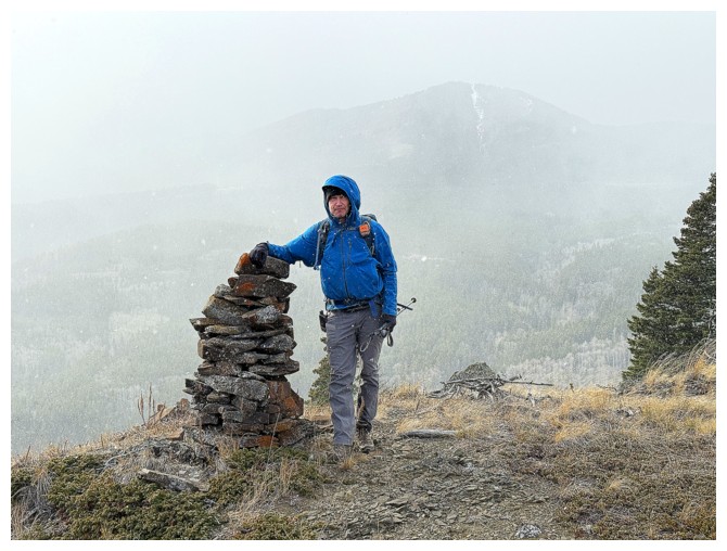
Dave and the cairn, with limited views behind
Descending (photo by Dave)
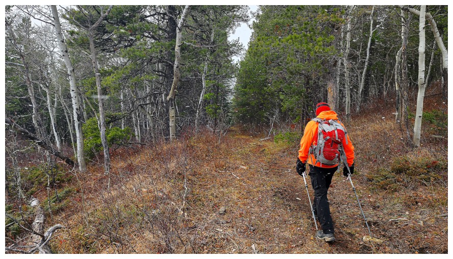
On the fantastic trail that leads easily and directly back to the gas road we started on (photo by Dave)
Same as above (photo by Dave)
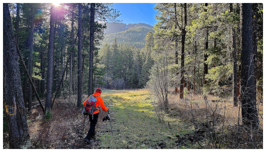
We are even greeted with some clear skies (photo by Dave)
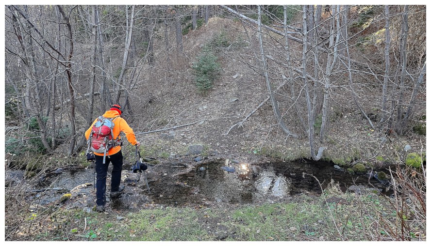
Easy creek crossing (photo by Dave)
This was the only challenging section of the return trip and it was very short (photo by Dave)
The gas road is minutes away
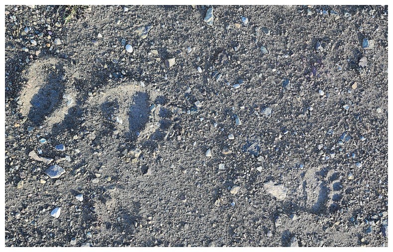
Back on the gas road gawking at more bear prints (photo by Dave)
Nostalgic look at Flattop (photo by Dave)
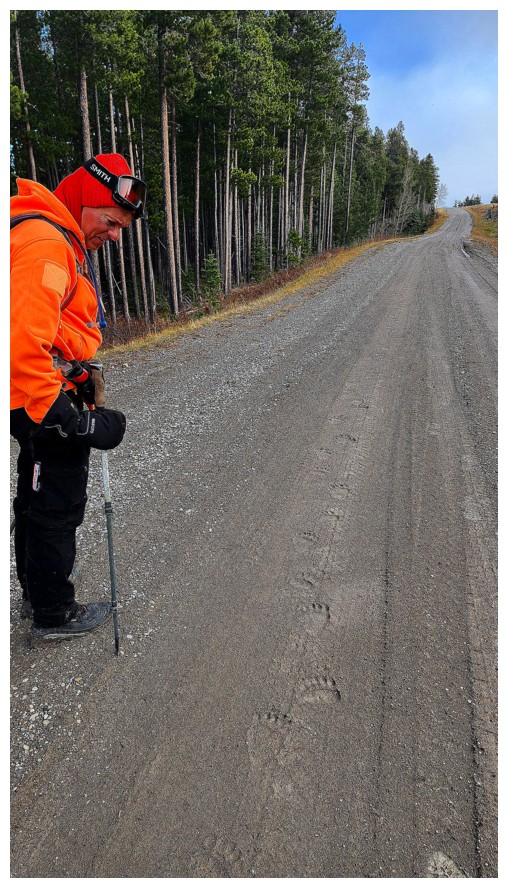
The
prints were clearly one of the highlights on the trip - there were mesmerizing. I'm glad there
were two of us and I'm glad we are both noisy! (photo by Dave)
Steps
away from the end of the trip. Even though it was not a monstrous day,
this trip really kicked the daylights out of me (photo by Dave).
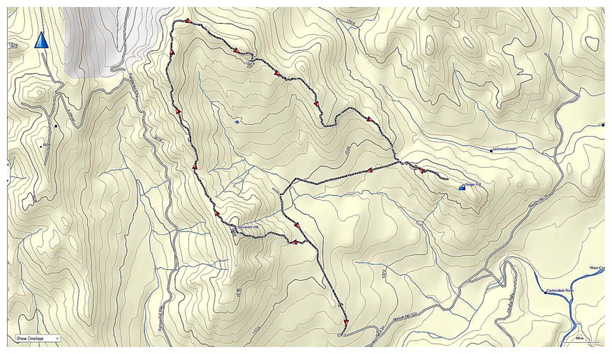
Our route (map by Dave)
The End
LOG