Michel Head
Michel Head Ridge
August 31, 2024
Mountain heights: 2327
m, 2292 m
Total elevation gain: 1251 m
Ascent time to
Michel Head: 2:50
Traverse time
to Michel Head South: 1:30
Descent time:
1:50
Scrambling with
Dave.
The surprise trip of the decade!
On this fine
morning, Dave was going to be in the Sparwood area around 9 am and so we agreed
to try an ascent somewhere down the Corbin Road. Our first choice was Ptolemy
SE5, however, due to a slightly late start and predicted temperatures in the
low 30’s we decided that a shorter trip with less elevation gain would be
preferable. 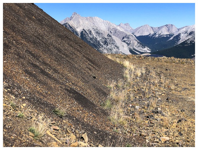 Dave suggested an experimental route up Michel Head and of course I
was all in. I didn’t have particularly high expectations for the trip, but it’s
a prominent peak in the area and an attempt would have happened somewhere down
the line.
The plan was to
bike up logging roads as far as possible and play it by ear from wherever we
got to on two wheels (and a motor for half of us!). The biking section worked
out wonderfully (especially for the cheater with a motor). We gained a
significant amount of elevation, until a “go no further” sign put an end to
that route. 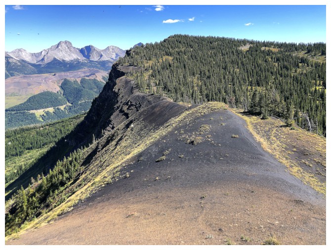 At that point, the road was heading down and away from the
objective, so we would have stopped there regardless.
An interesting
scene with two route options unfolded before us: a more or less direct route to
the summit that would involve losing some elevation and a section of
bushwhacking to reach a defunct logging road; or a steep line up through the
forest that would lead to a prominent highpoint south of Michel Head – from
there we could loop around to the summit. I was leaning towards the steep line,
but when Dave suggested the direct route, there was no debate. Dave has
outstanding mountain instincts, and I will follow him anywhere, especially when
he agrees to lead! The only questionable decisions I’ve ever seen Dave make is
the (ebiking, yellow jacket-wearing) sketchy company he sometimes keeps – but
his route-finding choices are always spot-on!
And in
retrospect, it was this route choice that led us to experiencing one of the most
enjoyable ridgewalks I’ve ever done. Had we picked the other route, 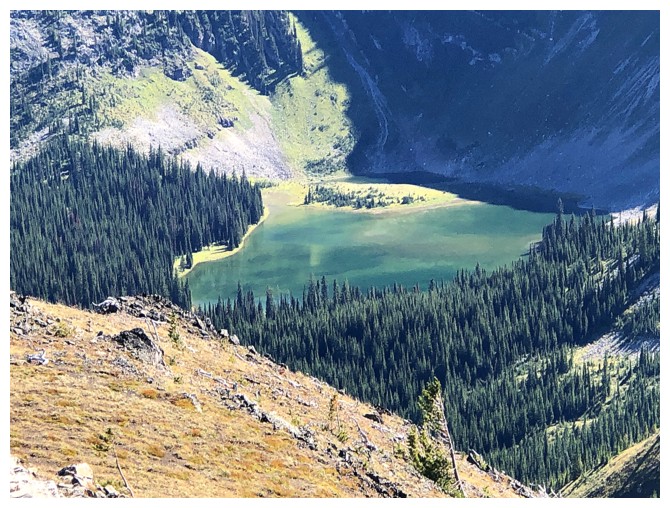 our day
would have ended depressingly in the mess of that steep forest – more to come.
Dave led the
way, as we lost elevation towards a creek splitting the valley. Soon we arrived
at a bushwhacking section that looked horrendous, but again Dave expertly found
a good route through it and then up to the road above. Once on that road, we
could have left it and taken a direct route to the summit or stayed on the road
to see where it went. We choose the latter – another great decision! The road
wound its way up the mountain to within 10 vertical metres of the summit. In
the oppressive heat of the day, following a gently graded path to the top
agreed with us both.
The summit view
was very respectable, though it’s one of those peaks where you ask yourself,
“Why isn’t that higher, treeless peak, less than 1 kilometre away not the
summit?”. 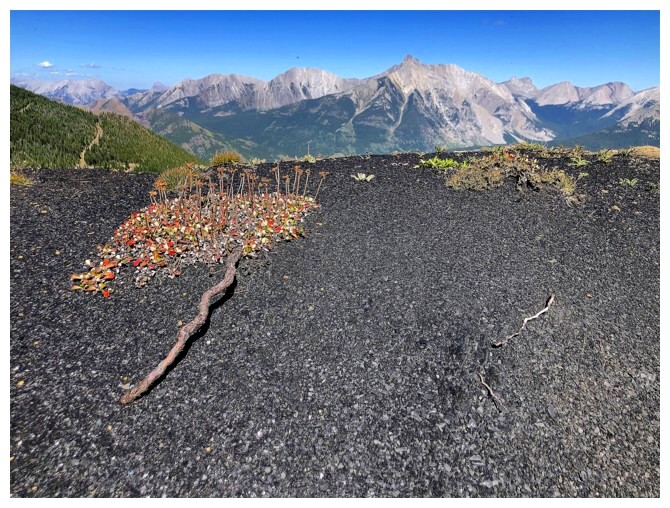 Of course, we were going to find out and spent only a few minutes at
the official summit before hiking easily over to the unofficial, but far
superior highpoint. Here, we took a break to enjoy a much better view, under
perfectly clear skies.
From the top it
appeared we could follow the ridge south to the next highpoint and then descend
the aforementioned steep forest, back to our bikes – I guess a loop route was
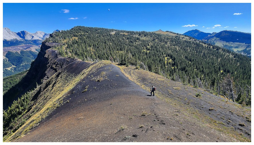
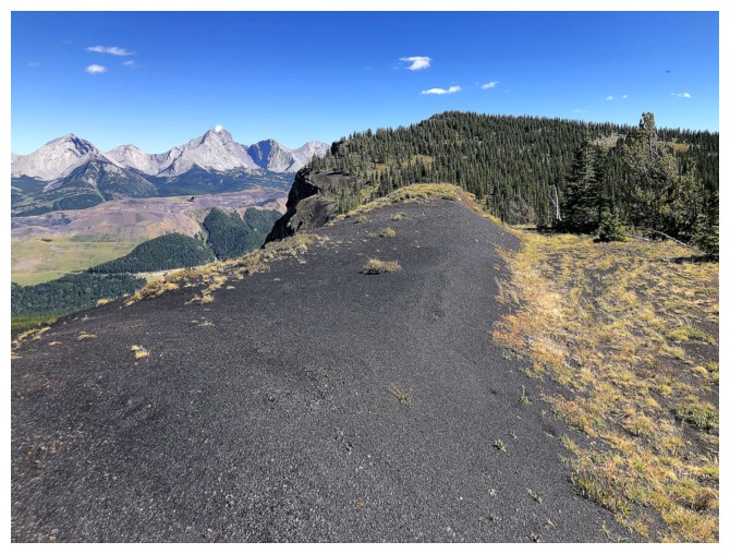
always in the cards. The traverse started very well, unexpectedly graduated to “mind-blowing”
status, and ended as it started. The “mind-blowing” scenery came in the form of
an exposed coal seam along the ridge. I’m not sure if this was the result of logging,
but suddenly we were hiking across a ridge of finely-ground black rock – very
unique. It reminded me of the famous Black Sand
Beach, along the Road to Hana, on Maui. I did not hide my excitement from
Dave, exclaiming multiple times, “This is the coolest ridge I’ve ever hiked!”.
I also made sure to capture every detail of the ridge, putting my camera in “Turbo (Lover)” mode!
We soon reached
the highpoint, both elated about what we had just experienced. And the magic didn’t
end there. The next highpoint along the ridge also looked quite doable and as
Dave pointed out, that ridgewalk may grant us views of Elliot Lake near Barnes Peak. Correct on both counts – the traverse
was easy, and we did get to see the beautiful lake. No coal was encountered, but views were
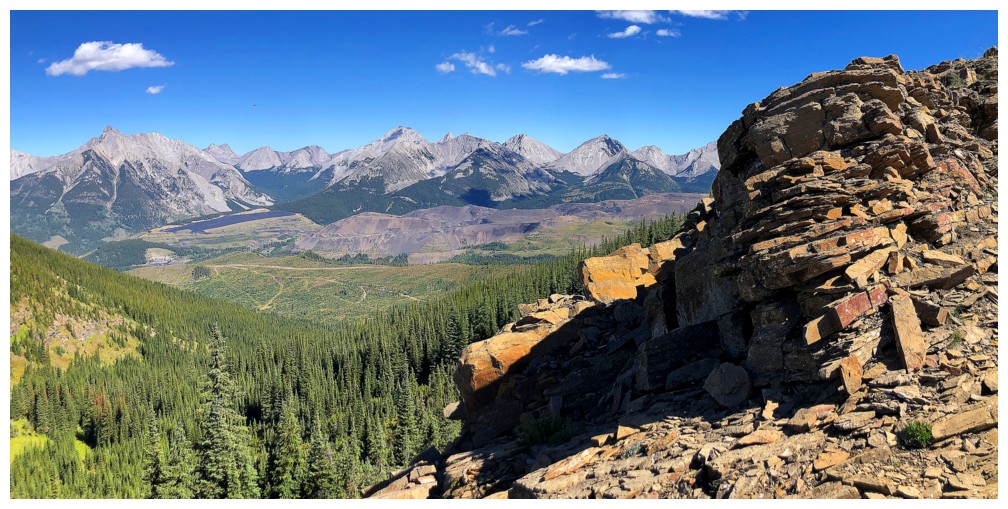
terrific throughout, and the summit panorama was the best of the four
highpoints of the day.
Descent options
were numerous, however we had to be careful to stay away from the closed road
on the south side of the ridge. As such, it made sense to return north to the
other highpoint and then descend that steep forested terrain directly back to
our bikes. The bushwhack might be easy, it might be difficult, but at least it
would be downhill. And good thing it was downhill because easy it was not! Closely
spaced trees and thick foliage conspired to add significant challenge to the
route. Also, it turned out to be much longer than expected. As alluded to, had we
tried to ascend this terrain, we would have given up long before reaching that
highpoint.
Very
relieved
to be back at the bikes, we were able to thoroughly enjoy the
“all-downhill, no pedaling, brakes only” coast back to the start. What
took 55 minutes to
ascend, required only 15 on return.
Such an unexpectedly
awesome trip! Big thanks to Dave for suggesting this mountain, his route-finding
prowess, fine conservation, and willingness to do trips with non-sketchy company,
not wearing a yellow jacket!
Click HERE to see Dave's awesome report.
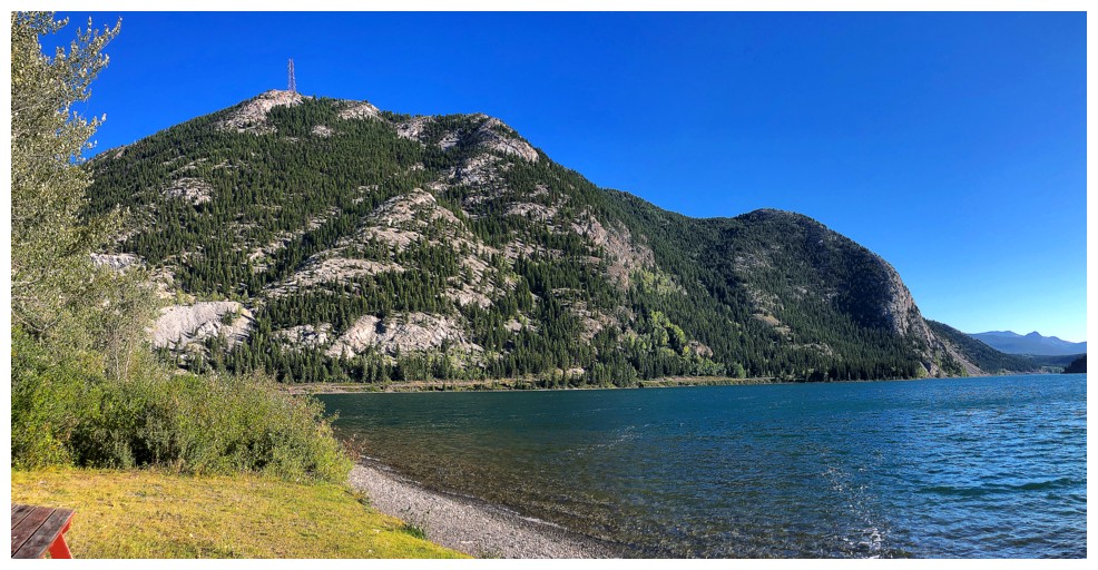
Stopped at Crowsnest Lake on the way. Crowsnest Ridge behind the lake.
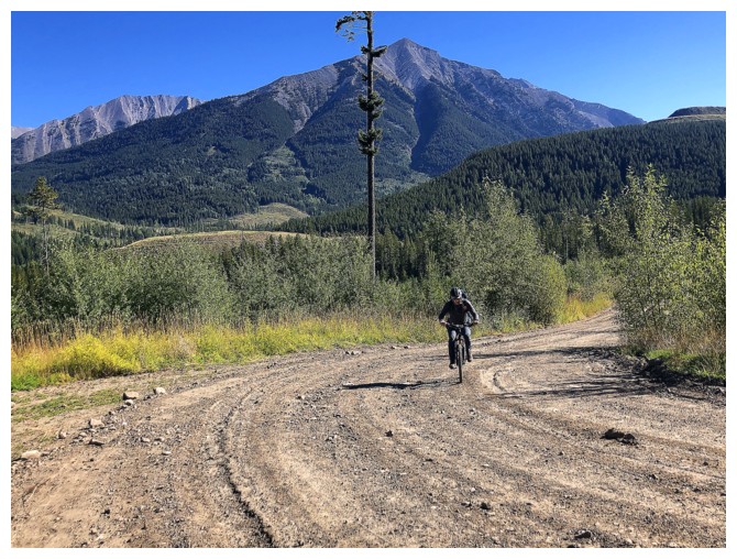
Dave (human) powers up the road
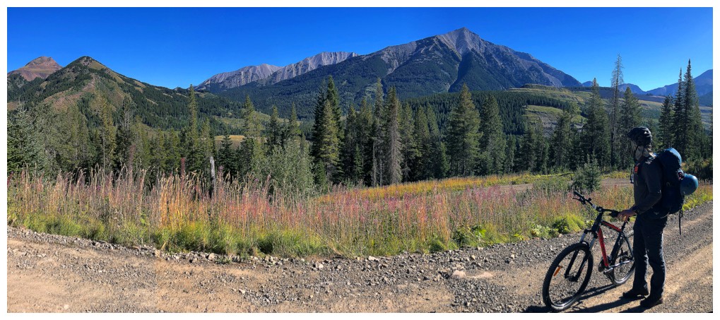
Quick stop to check out Mount Ptolemy - Dave and Brad have completed that ascent; I have not.
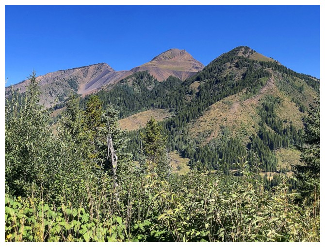
Another stop for Tent Mountain
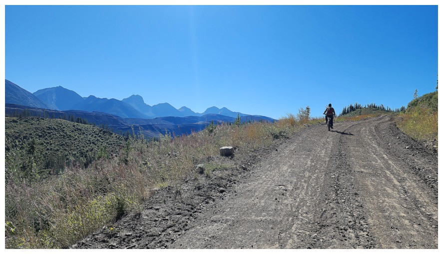
The other guy also powers up the road, but literally! (photo by Dave)
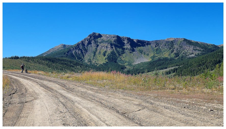
Ebiking gives me the opportunity to spend more time doing what I do the best - that is, not working! (photo by Dave)
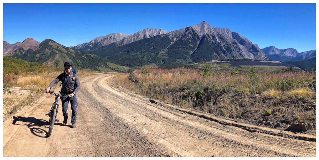
In the long run, however, Dave will be fitter and live longer. I
someday plan on transforming into a Twinkie and melding forever into my
couch.
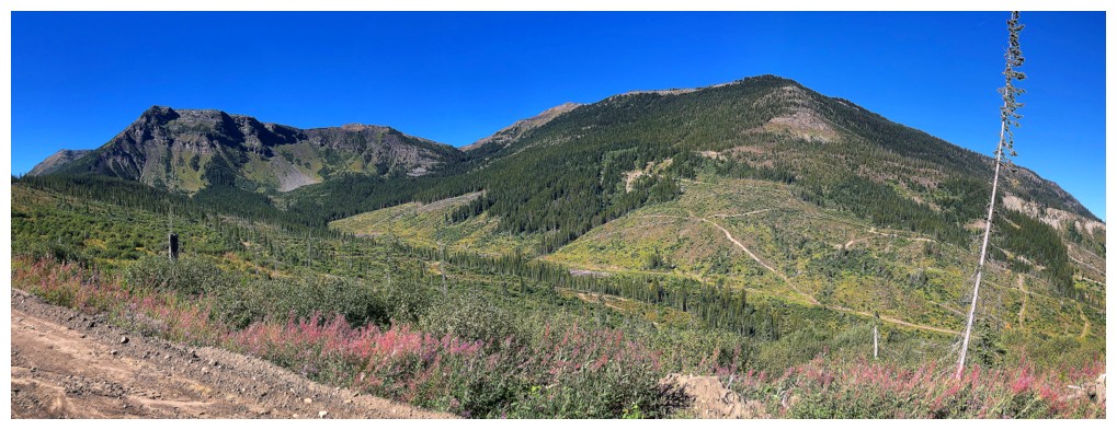
Michel Head at the right and the steep forested slope and other
highpoint at the left. Eventually we would head directly over to the
visible logging roads at the right.
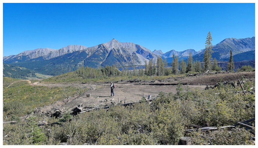
Where we ditched the bikes (photo by Dave)
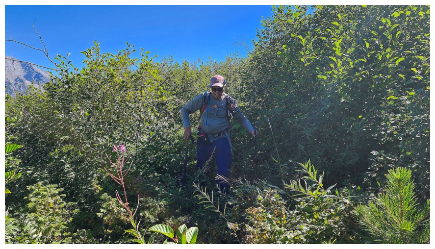
Some light bush to start (photo by Dave).
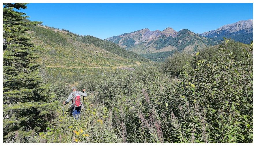
Not too bad here (photo by Dave)
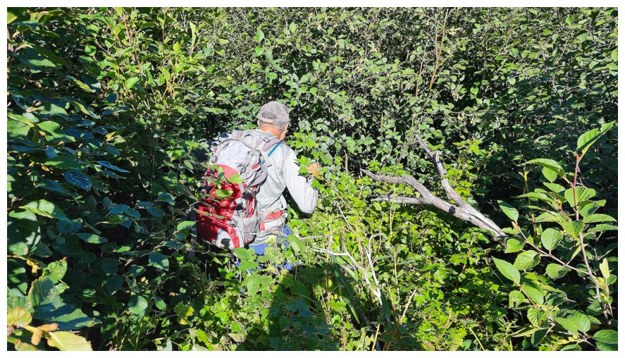
Bad here (photo by Dave)
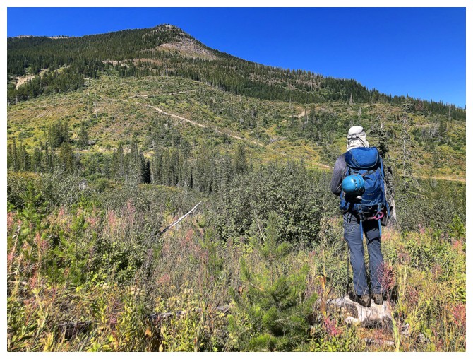
The descent to the creek that split the valley alternated between open and nasty
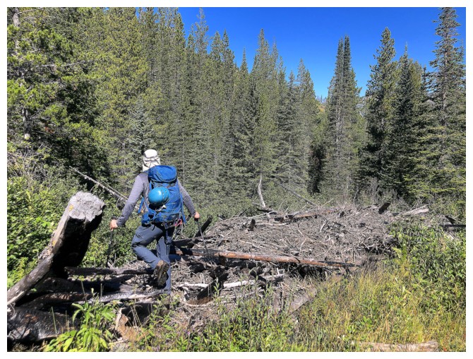
Dave is heading for the nasty
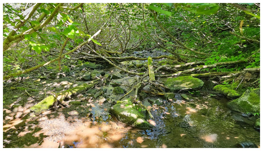
Stunning shades of green (photo by Dave)
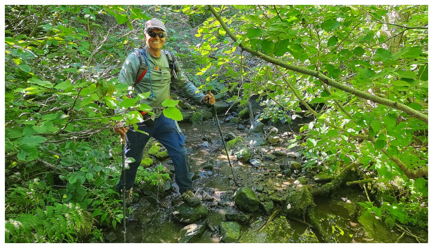
Crossing the cool creek wasn't a concern (photo by Dave)
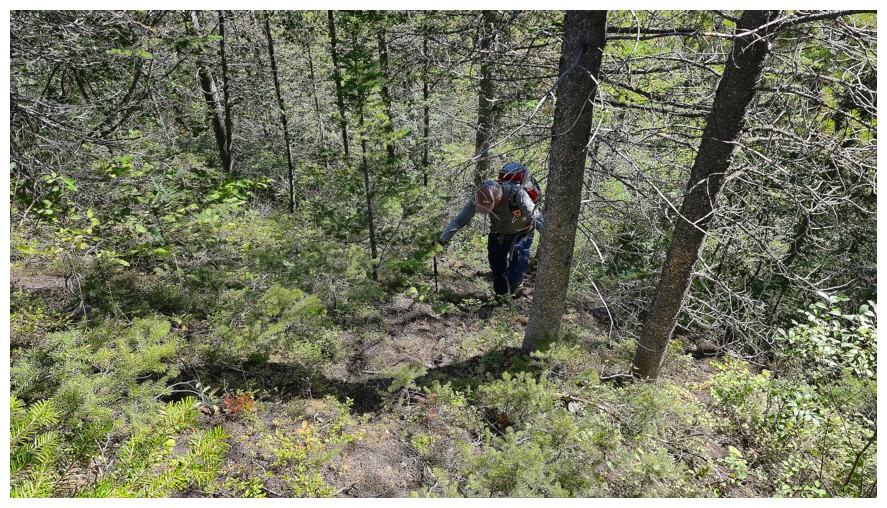
Shortly after the creek, Dave quickly led us to the road (photo by Dave)
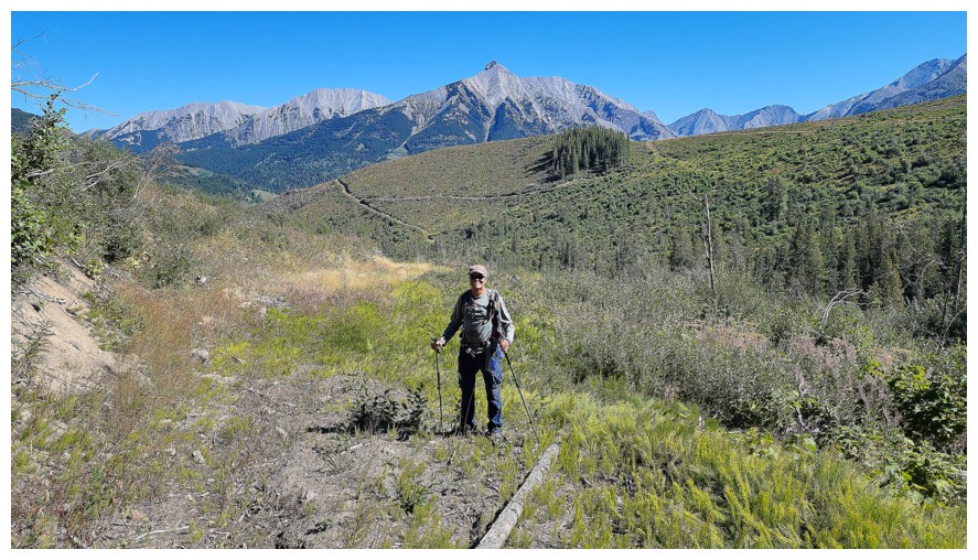
This section of the road hadn't been used for some time (photo by Dave)
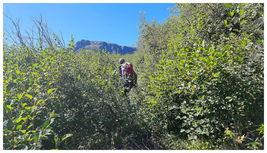
And it shows in places (photo by Dave)
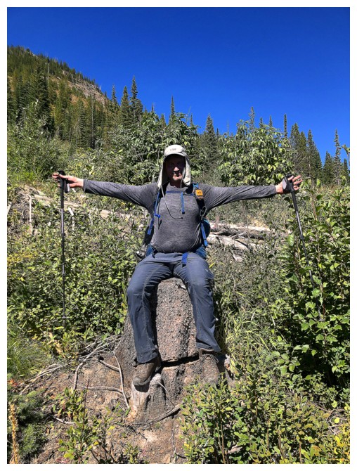
King Dave of the Tree Stumps on his throne
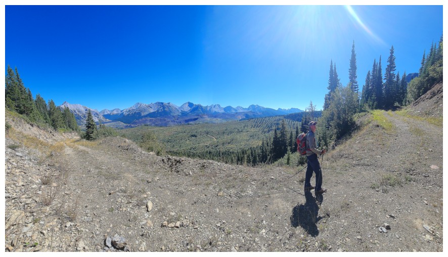
Now on a more recently used road (photo by Dave)
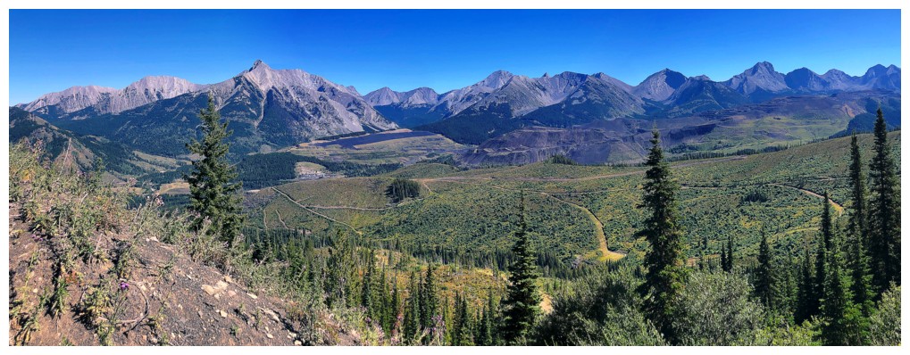
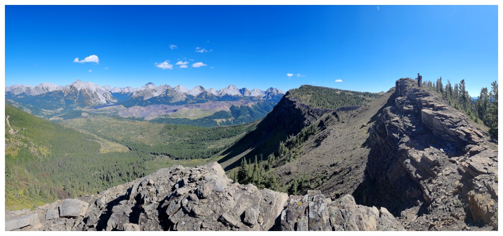
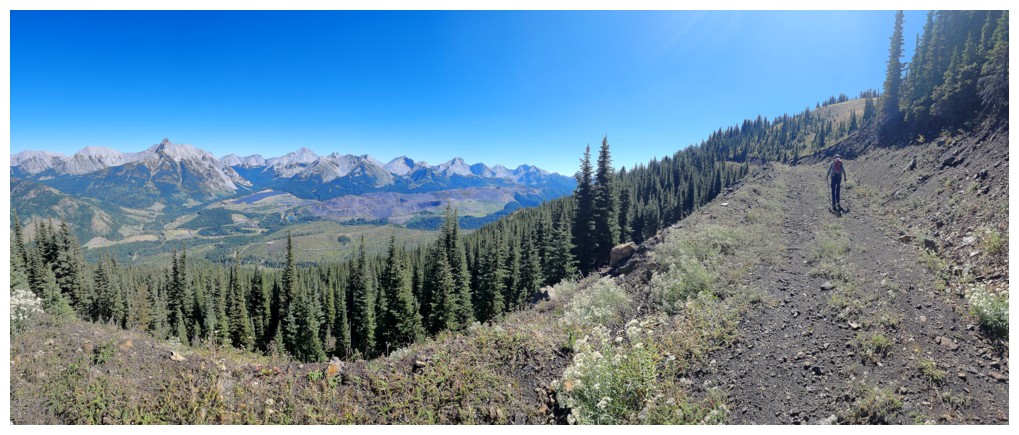
The view to the east was fantastic throughout
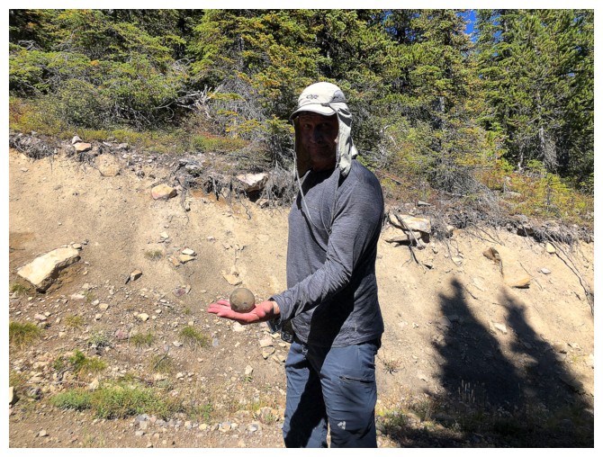
The King has found something interesting
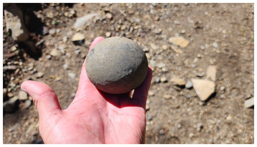
See Dave's trip report for several insightful (?) conjectures as to its origin (photo by Dave)
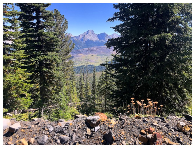
I just liked the colours here
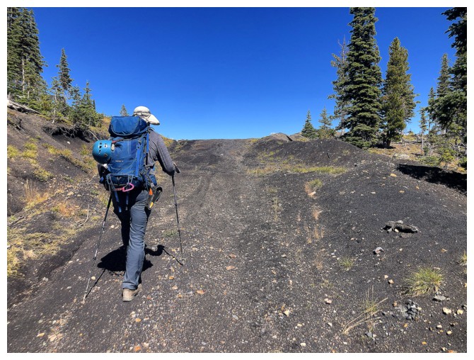
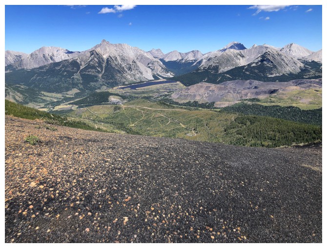
Hiking on fine, dark rock - a foreshadowing of things to come
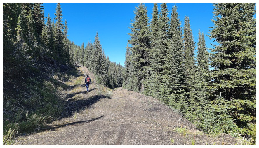
Choosing the correct road was not difficult - always take the one going up (photo by Dave)
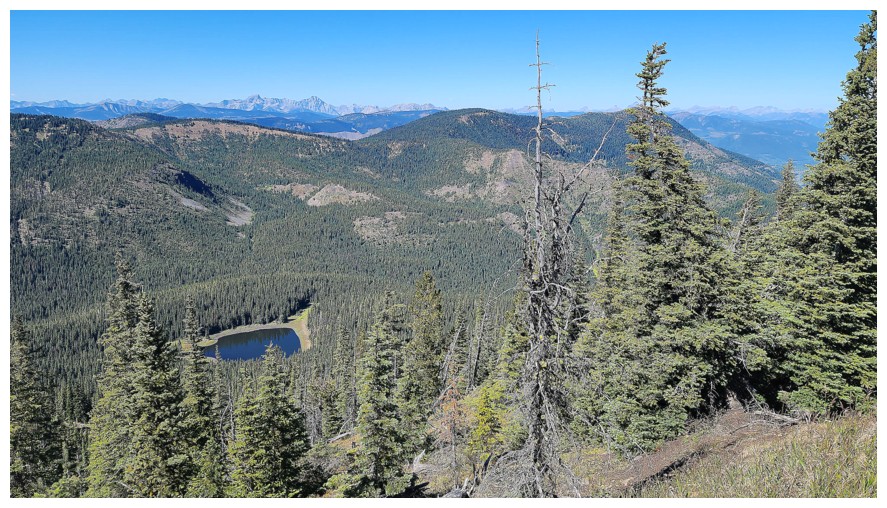
The road swung all the way around to the northeast side of Michel Head, where a tarn appeared (photo by Dave)
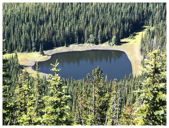
Close-up
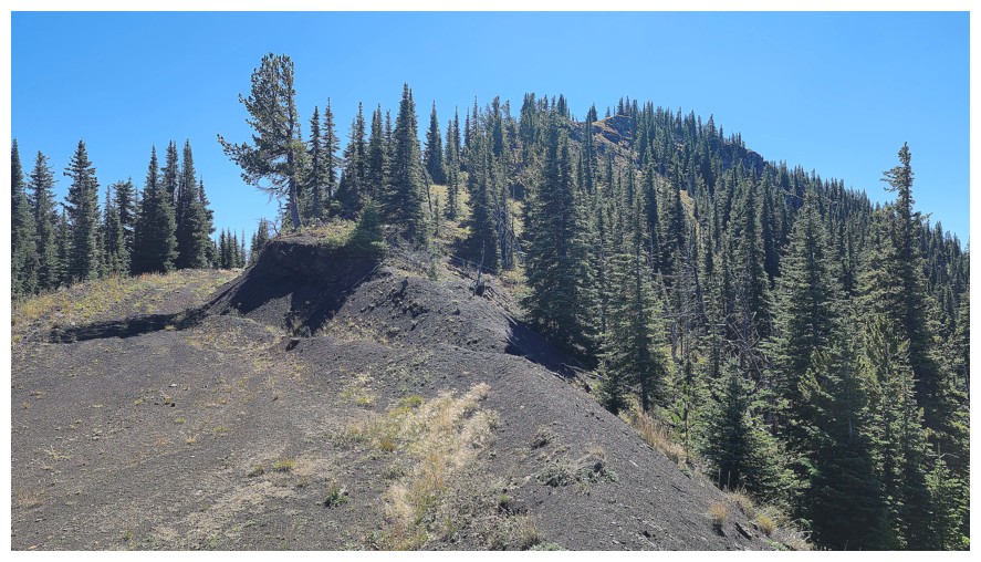
The summit is just right of centre, but we continued to follow the road as it wrapped around the summit block (photo by Dave)
Wrapping around (photo by Dave)
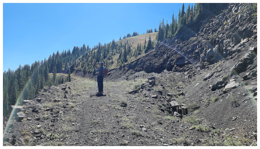
Neat play of light (photo by Dave)
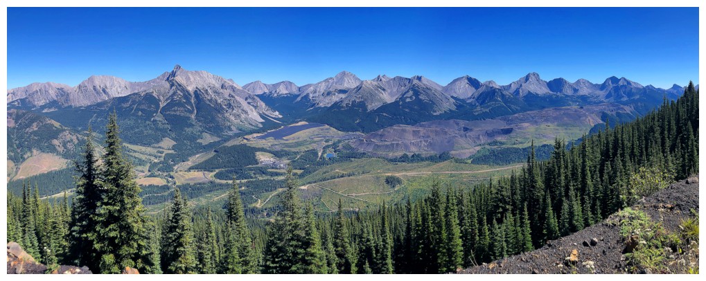
The view to the east for the second time; only 100 more to go!
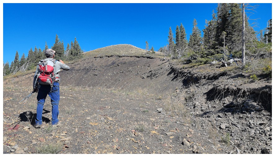
Still on the road and the summit is mere minutes away. That guy is not wearing a yellow jacket, so he must be one of the good ones (photo by Dave).
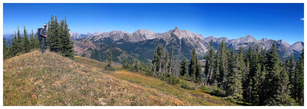
Dave at the summit of Michel Head that is marked on most maps
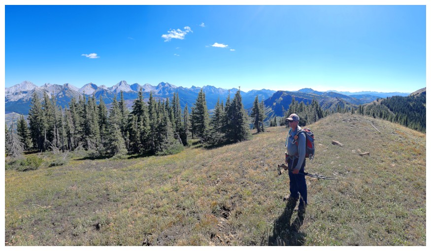
Me (photo by Dave)
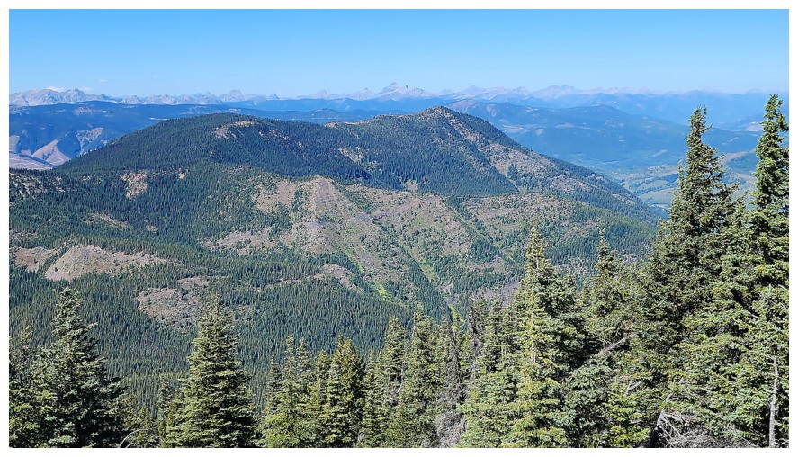
Mount Taylor sits to the north (photo by Dave)
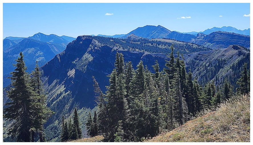
The third highpoint we would eventually reach near the left (photo by Dave)
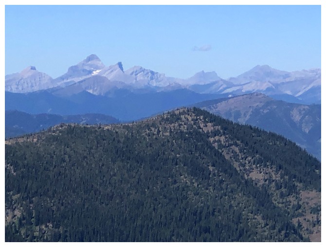
Mount Washburn is the distinctive peak at the left
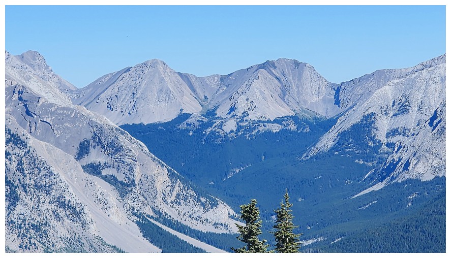
Sunglass Mountain and Peak 34. Dave and Brad have done Sunglass (photo by Dave).
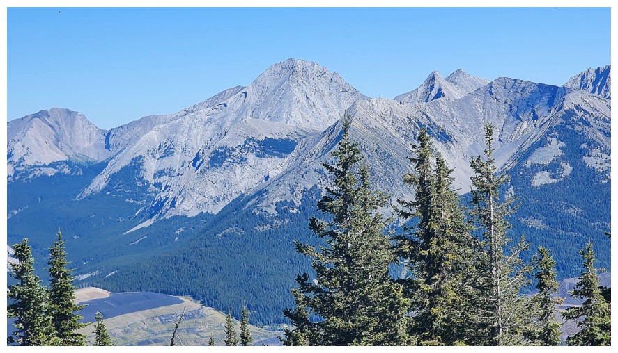
Unofficial Ptolemy SE5 (centre) is second only to Mount Ptolemy in height for mountains of the Flathead Range. All Stones has made excellent documentation for that trip. Mount McGladrey to the right (photo by Dave).
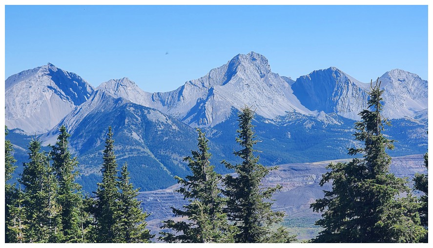
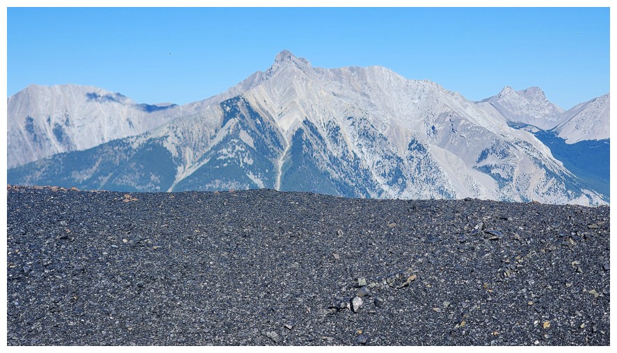
Mount Darrah (just right of centre) is probably the most difficult peak in the range (photo by Dave)
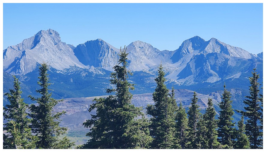
Darrah, Darrah SW1, Darrah S1, and Darrah S2 (photo by Dave)
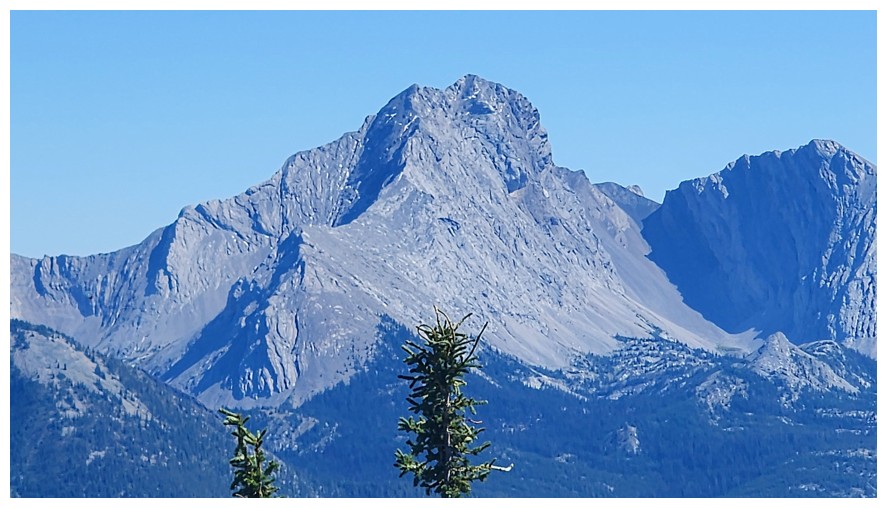
Close-up of Darrah (photo by Dave)
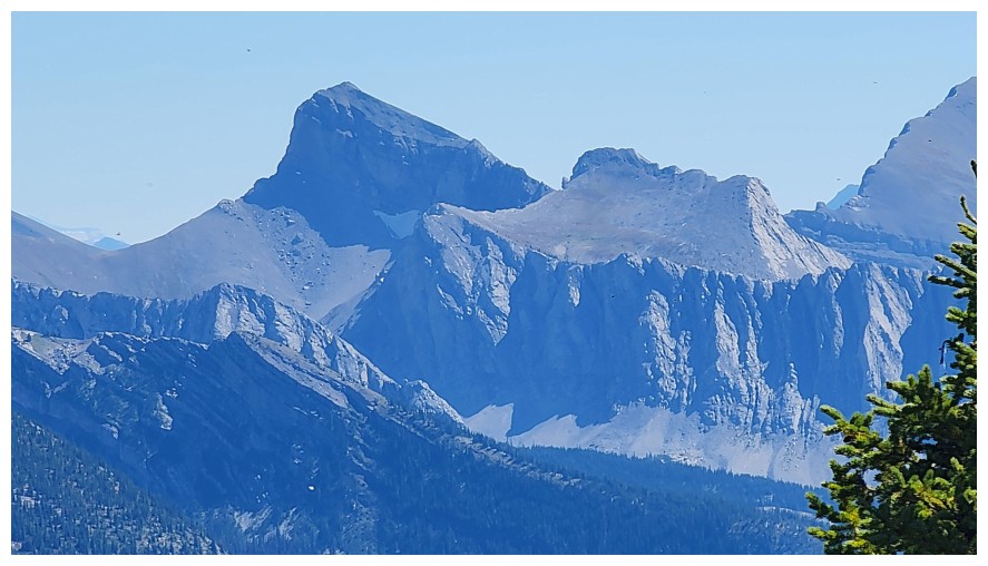
Centre N1. Tried and failed that one earlier in the year but we'll be back someday (photo by Dave).
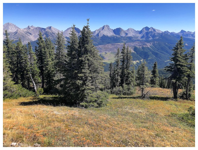
The trees at the summit that partially block the view
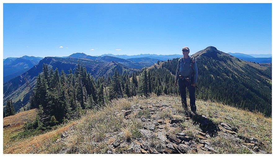
The higher summit is just right of me (photo by Dave)
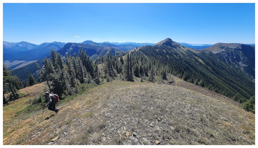
Leaving to go get it (photo by Dave)
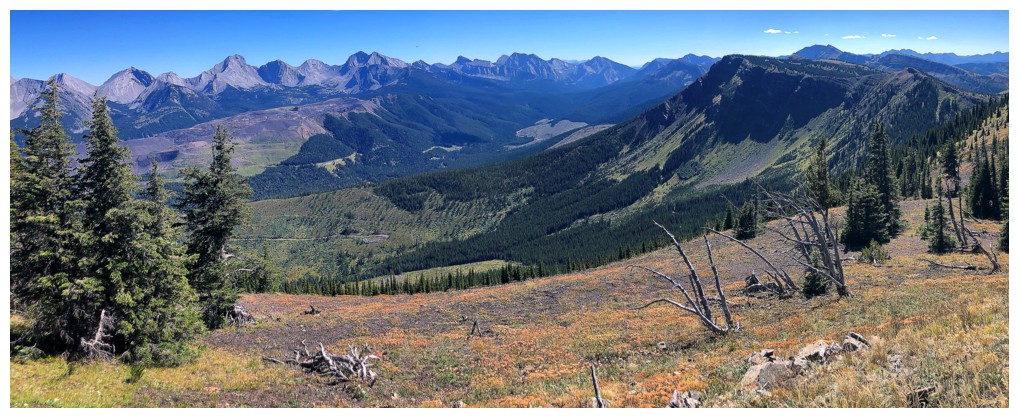
Autumn is not yet here but their colours are starting to appear
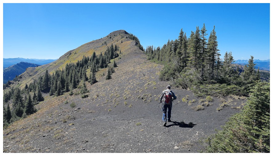
No road to this summit but travel is very easy (photo by Dave)
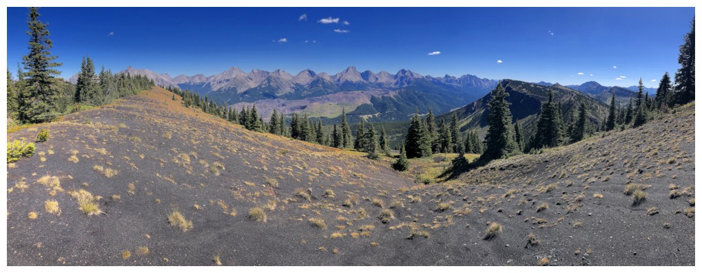
Another run-in with black rock and Autumn colours
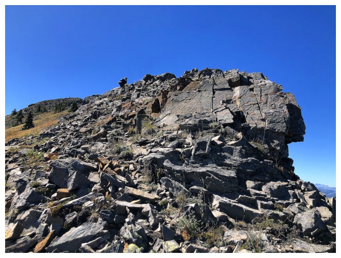
A rocky section before the summit
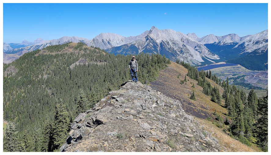
I'm up (photo by Dave)
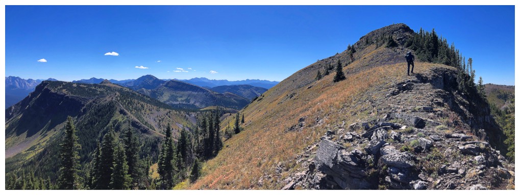
Almost at the top
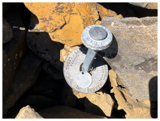
Someone has been here and it wasn't a bear!
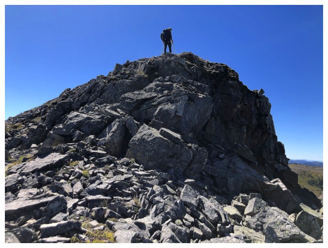
Dave is up
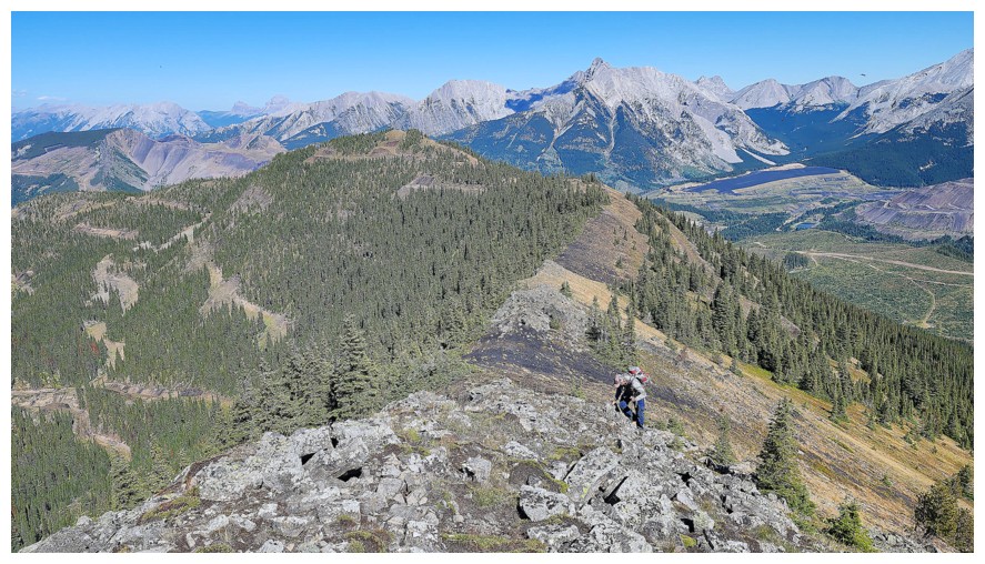
I'm not (photo by Dave)
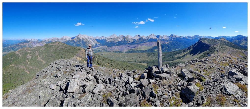
The summit is so cool it gets a summit cairn AND a summit log! (photo by Dave)
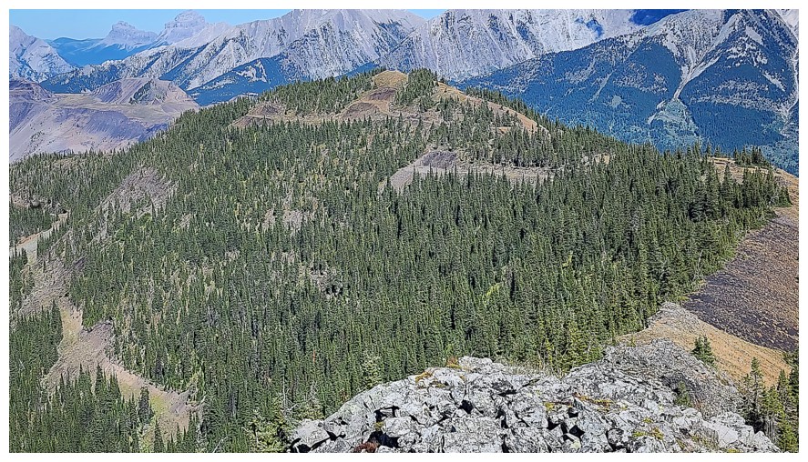
Looking back to the official summit of Michel Head (photo by Dave)
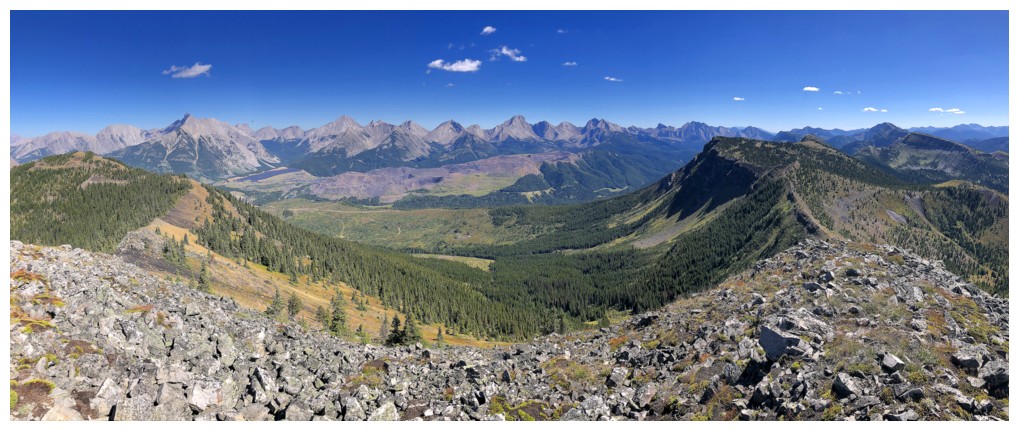
East again
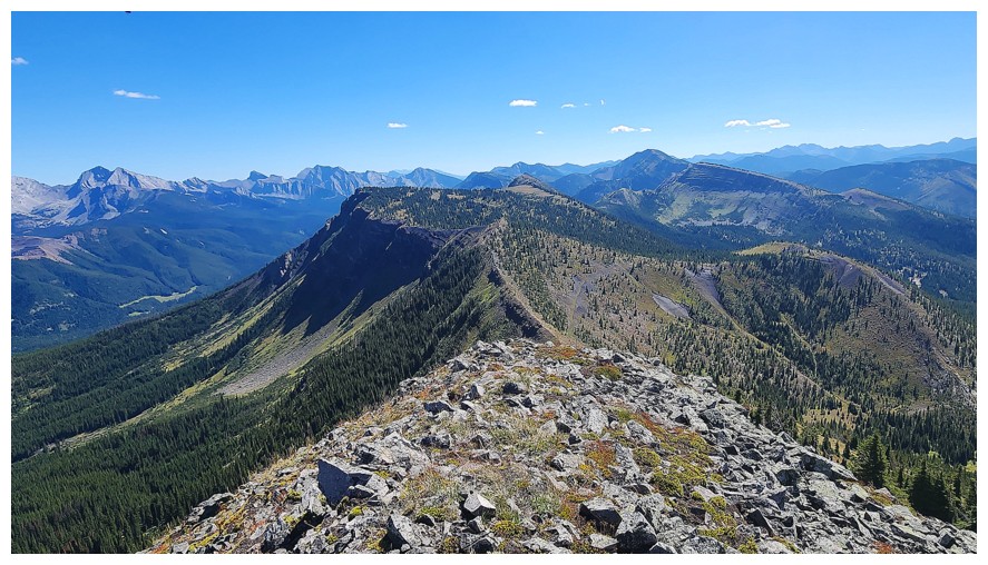
The ridge to the south is where we will go next (photo by Dave)
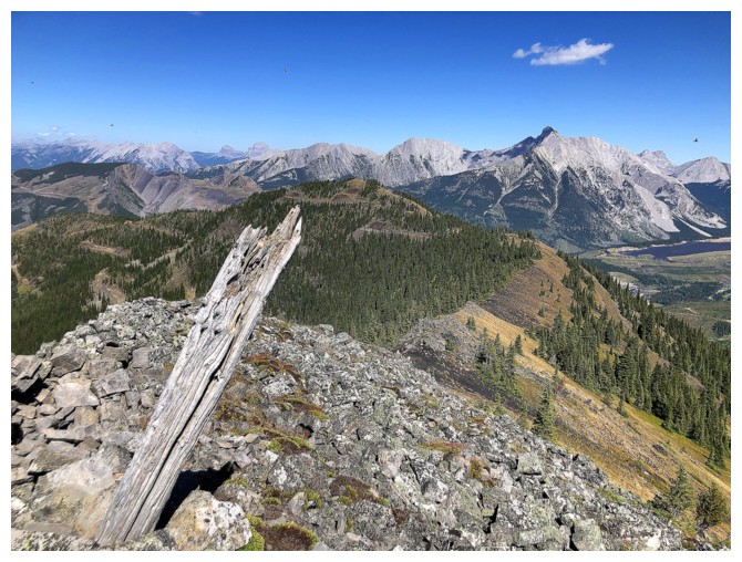
The leaning summit log
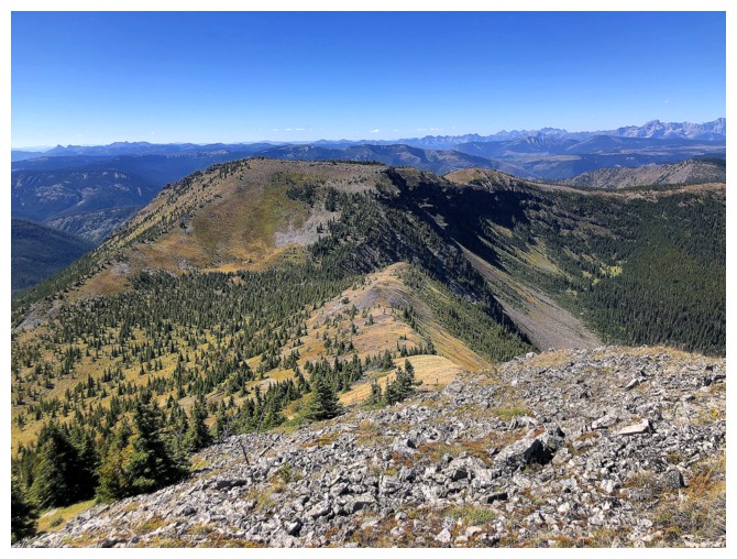
The west ridge eventually curves north and goes all the way to Taylor
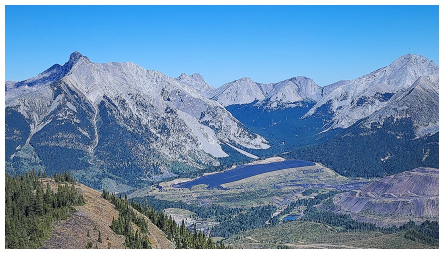
Coal mining below Ptolemy (photo by Dave)
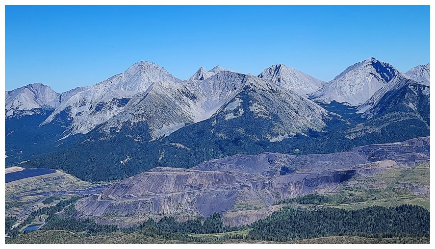
Coal Mountain is not much of a mountain anymore (photo by Dave)
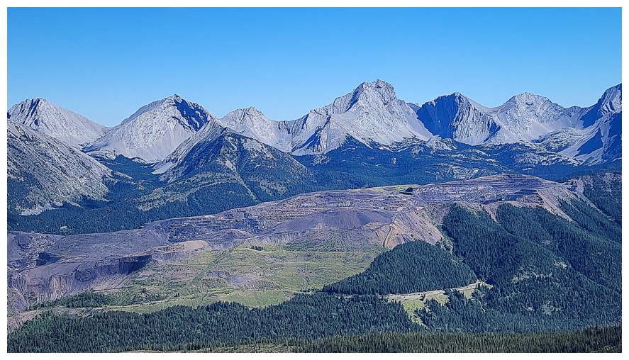
Further south (photo by Dave)
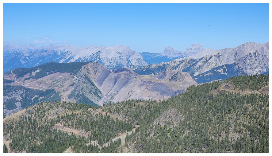
The view to the north now features Crowsnest Mountain and The Seven Sisters (photo by Dave)
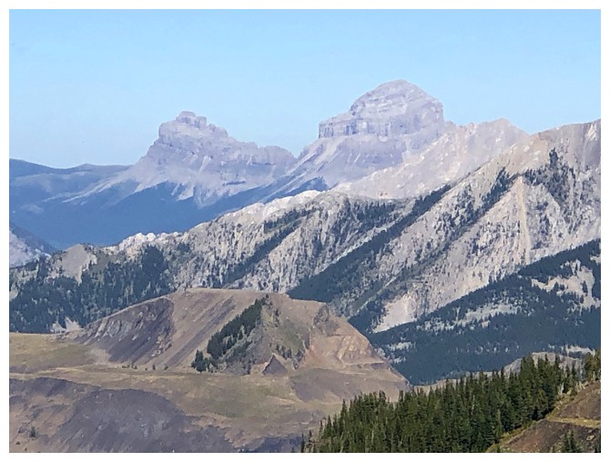
Close-up of the distinctive pair
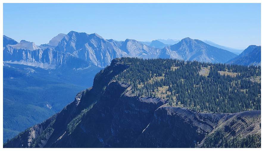
The next highpoint (photo by Dave)
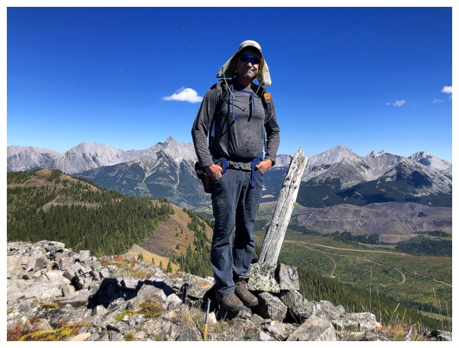
Last summit photo before continuing the trip south
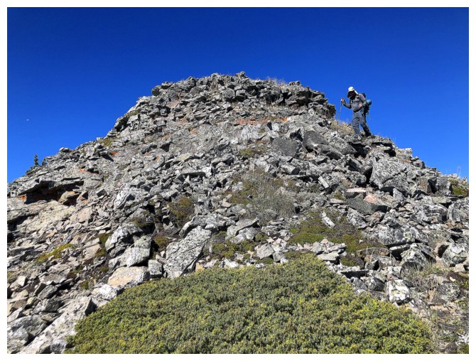
Off the rocky summit
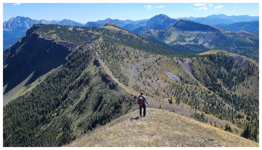
Didn't know it here, but this ridgewalk is about the charm our socks off! (photo by Dave)
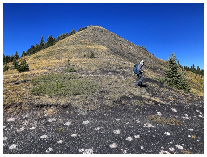
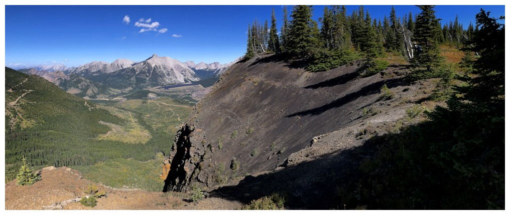
First signs of the dark rock underfoot
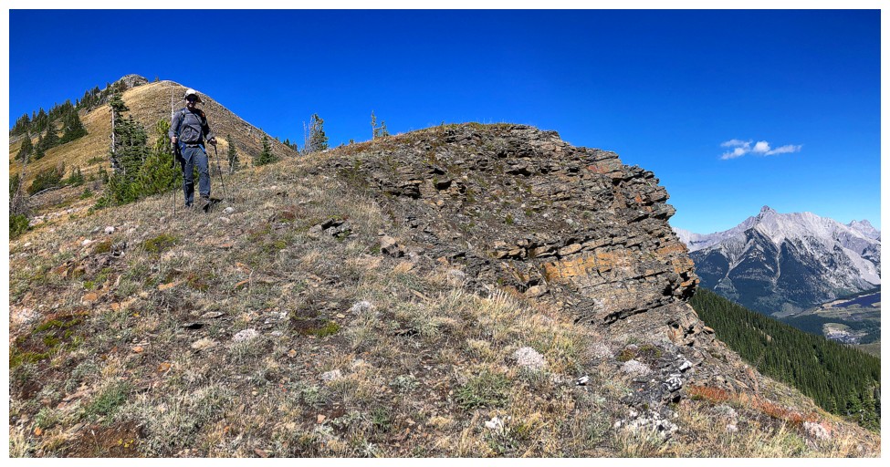
Then it's gone
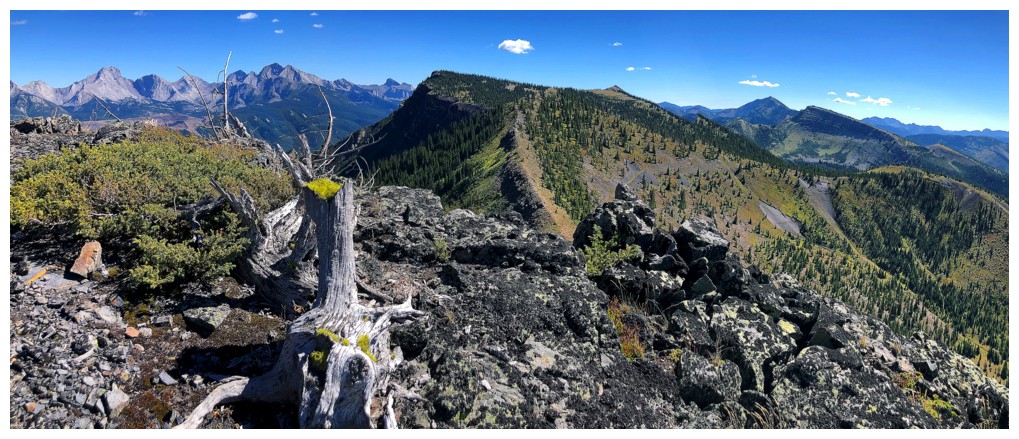
Very cool tree stump
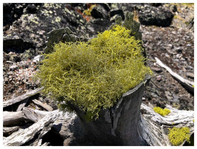
It's been stuffed
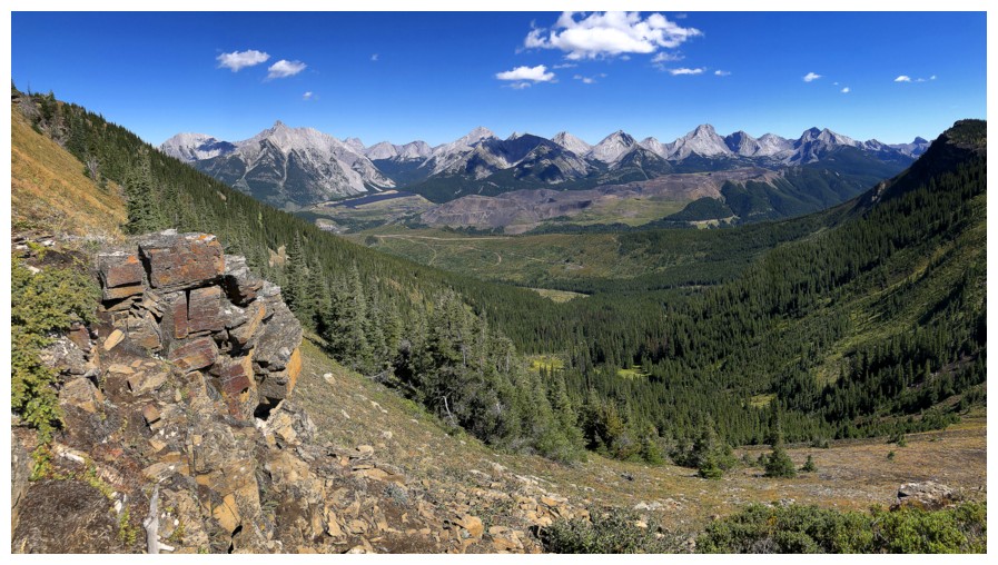
Closest thing to red argillite we saw at the left
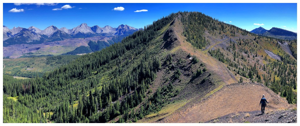
The colours on the ridge are changing
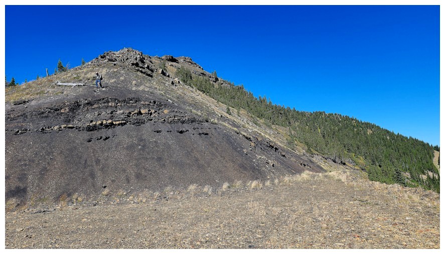
The exposed dark rock here was definitely the result of logging (photo by Dave)
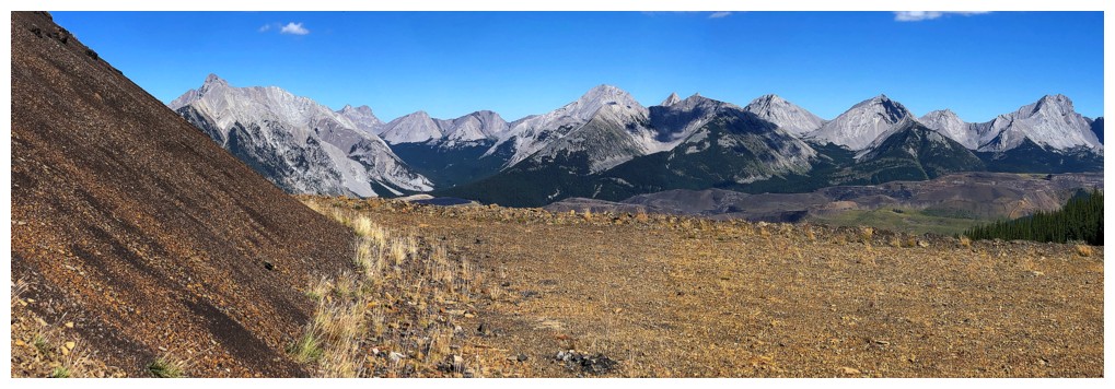
Loved this area and view
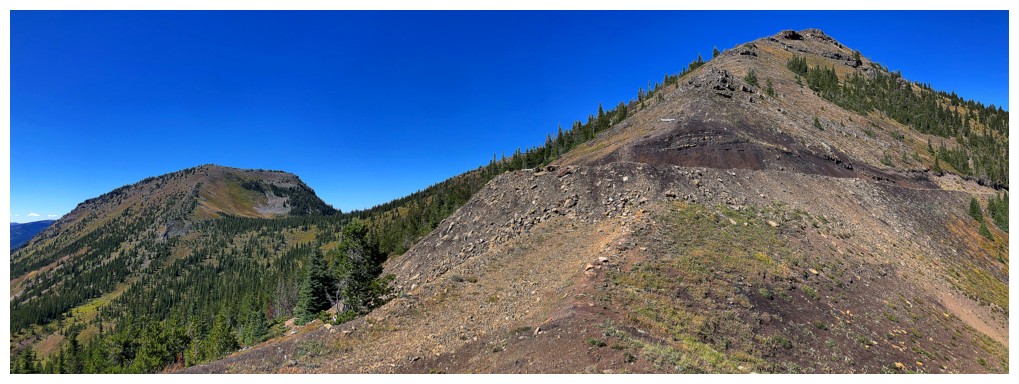
Looking back to the summit and west ridge
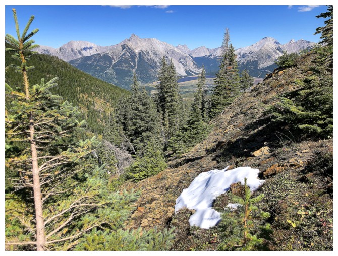
Hats off to you, snow patch - it's over 30 degrees in August and you are still alive!
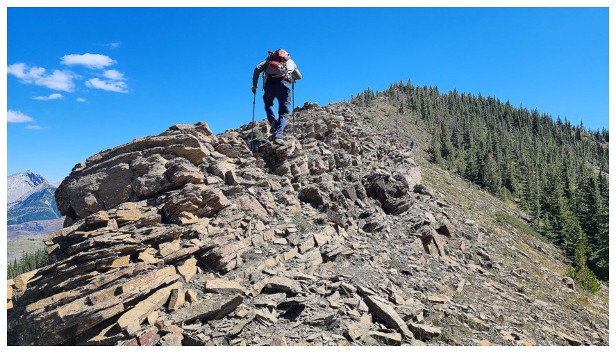
Neat section of the ridge before the super cool stuff (photo by Dave)
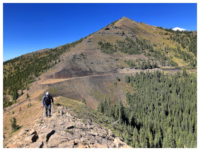
You can definitely see an old road here
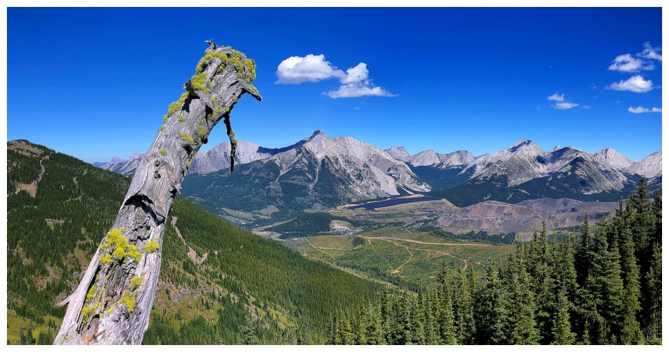
Another resilient fellow!
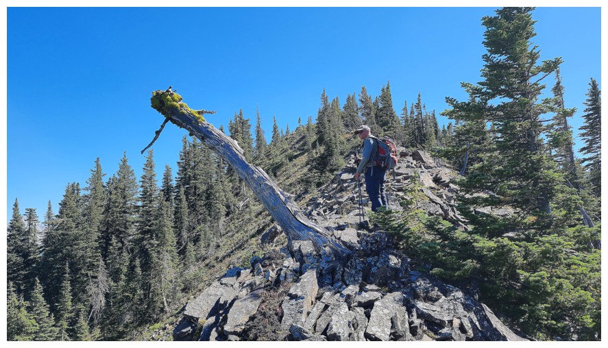
Dave's view of the tree that just won't fall (photo by Dave)
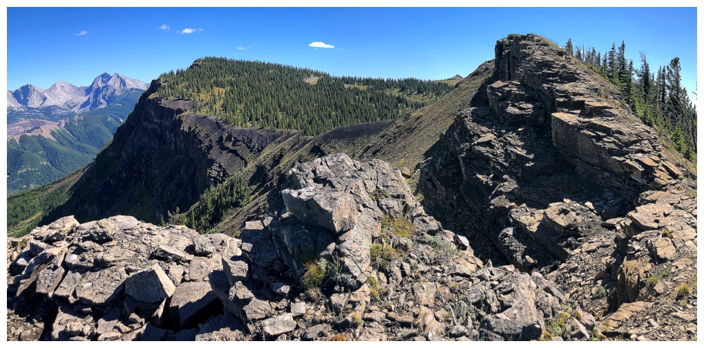
The ridge gets rocky again - but it's a "good" rocky
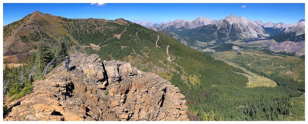
Dave
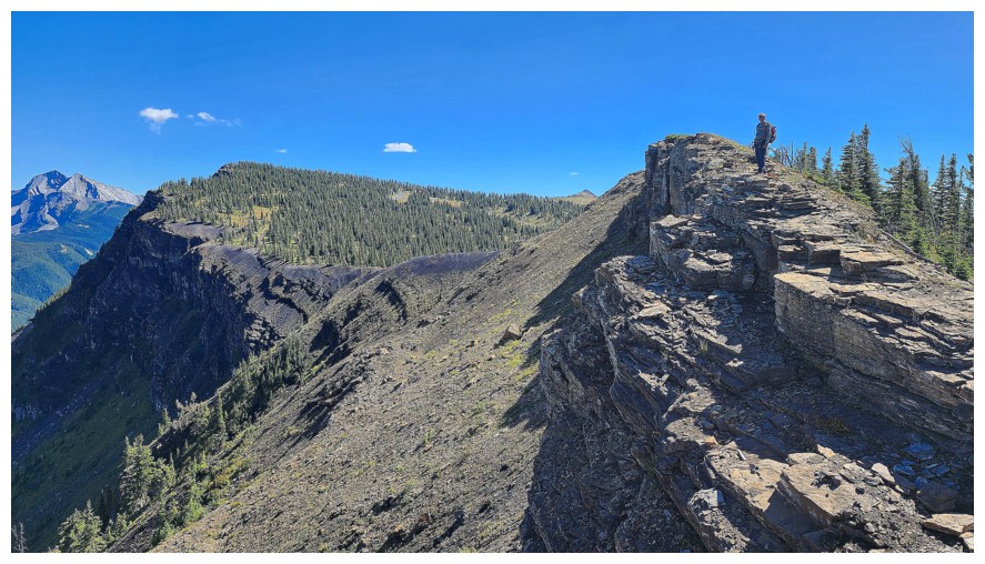
Me (photo by Dave)
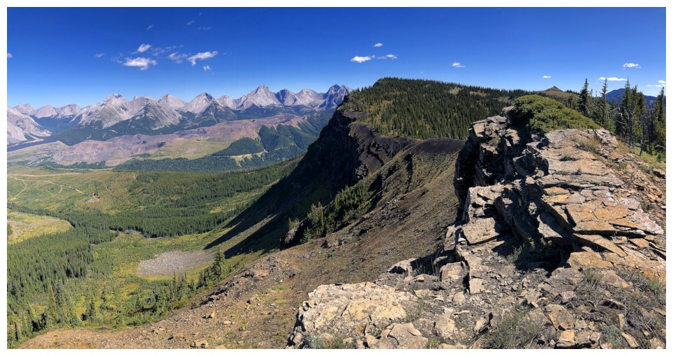
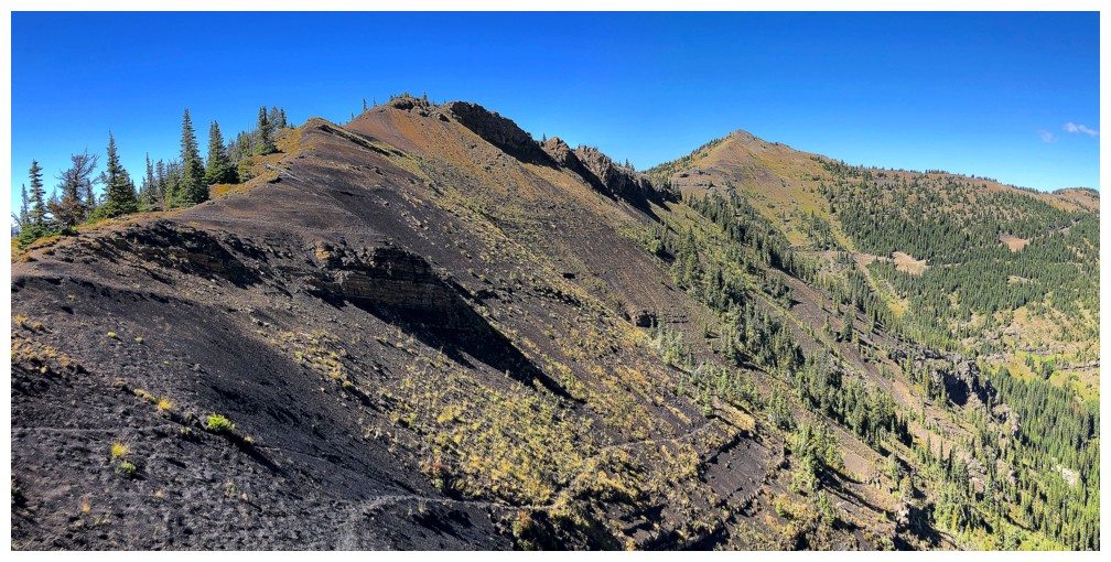
The ridge
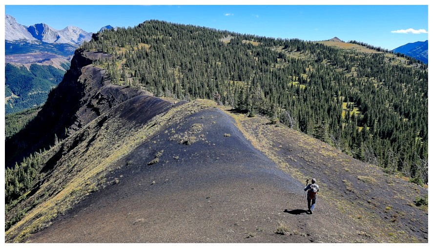
Here
we go - onto the coal seam. Given the number of photos we took, this
poor ridge must have felt like the paparazzi had been unleashed upon
it! (photo by Dave).
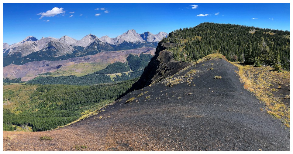
One, minus the vermin
Same as above
It's back (photo by Dave)
Then gone
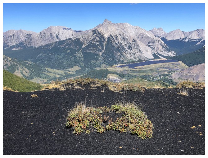
You just don't see stuff like this everyday in the mountains (photo by Dave)
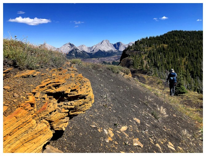
Or this
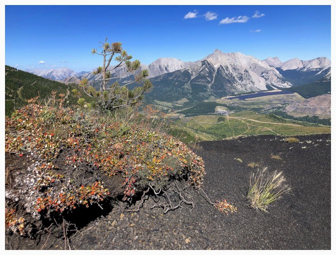
Or this
Ditto
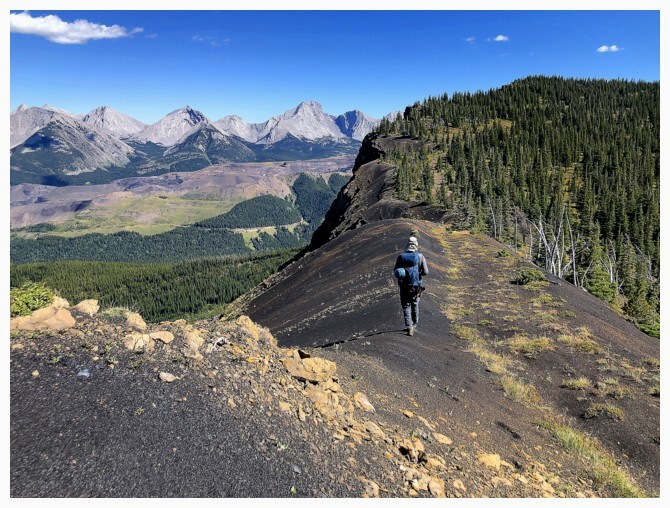
And ditto
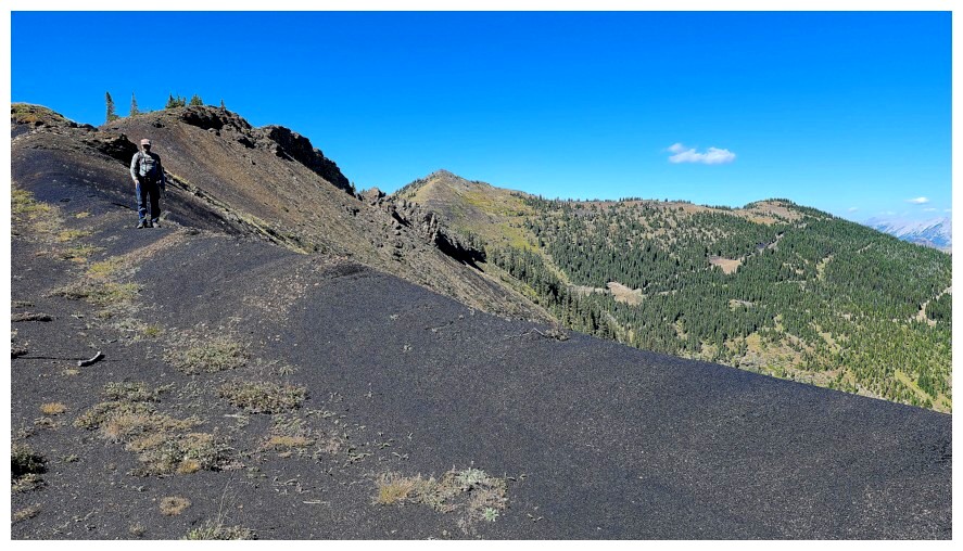
The Black Ridge and the two summits already visited (photo by Dave)
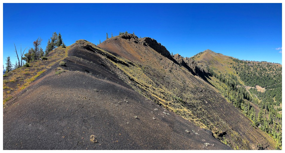
Looking back along the ridge was as gratifying as looking forward

As luck would have it, the panorama feature on most phones allow one to see both at the same time
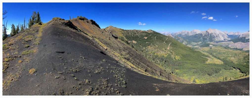
Back to one
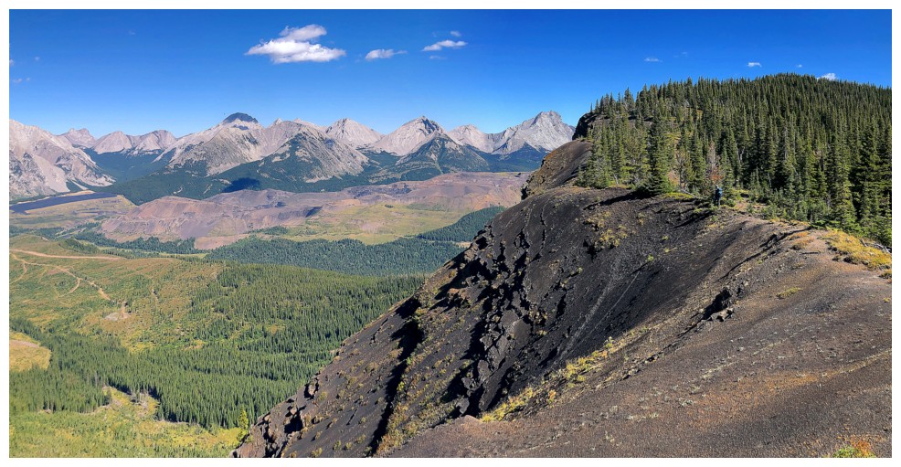
Dave is just visible on the ridge and being careful not to make any big steps to the left
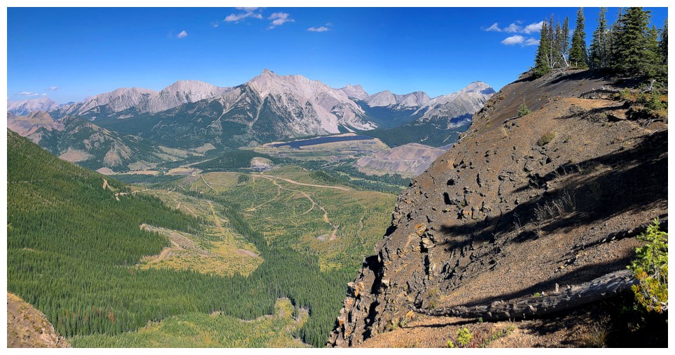
Uh-oh - where's Dave? Did he step left?!
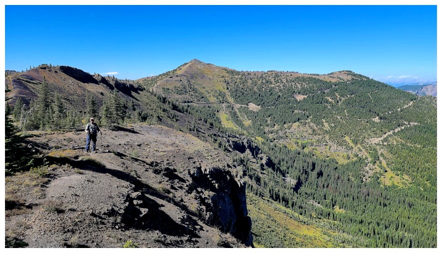
Either he can take great photos while plummeting down a mountain or he stepped right (photo by Dave)
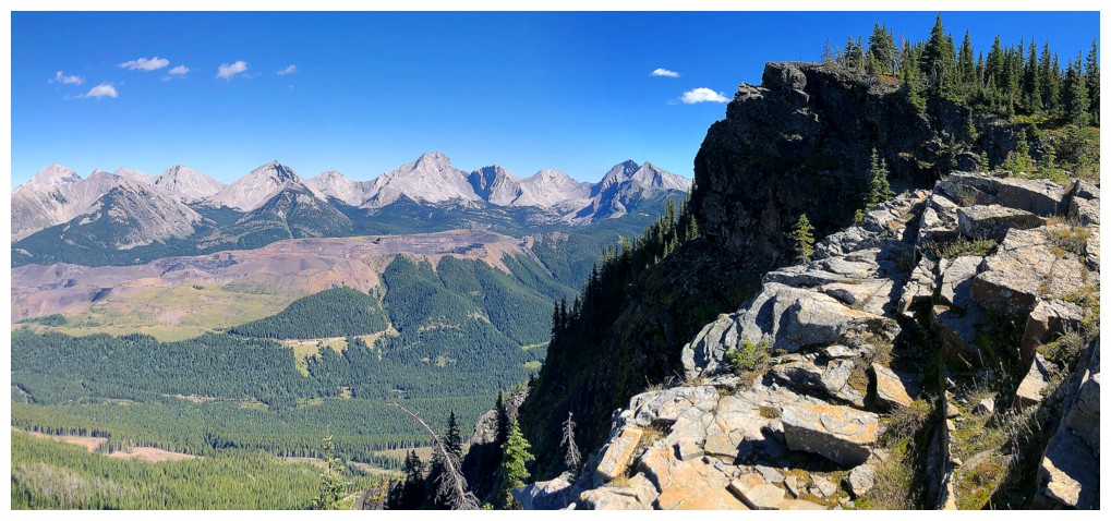
The ridge and views continue to impress
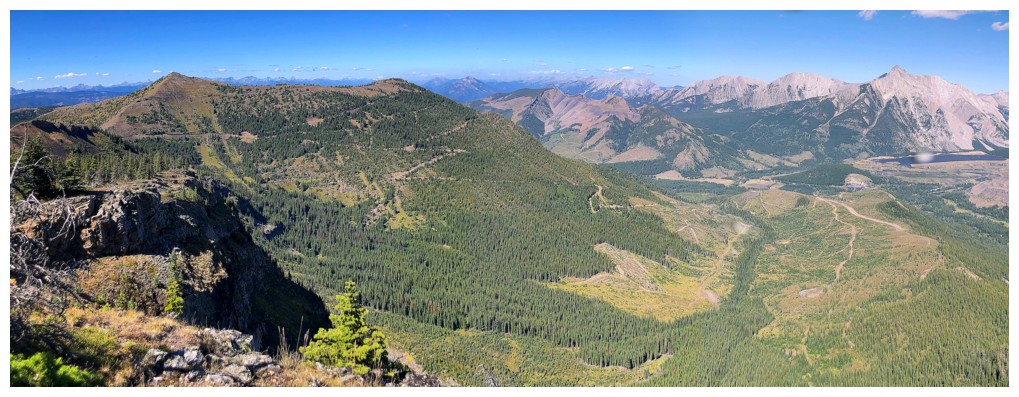
Our ascent route is now almost entirely visible. The bikes are at the end of the road at the far right.
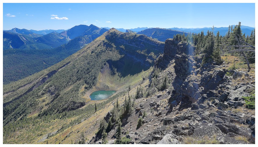
At the next highpoint, looking south (photo by Dave)
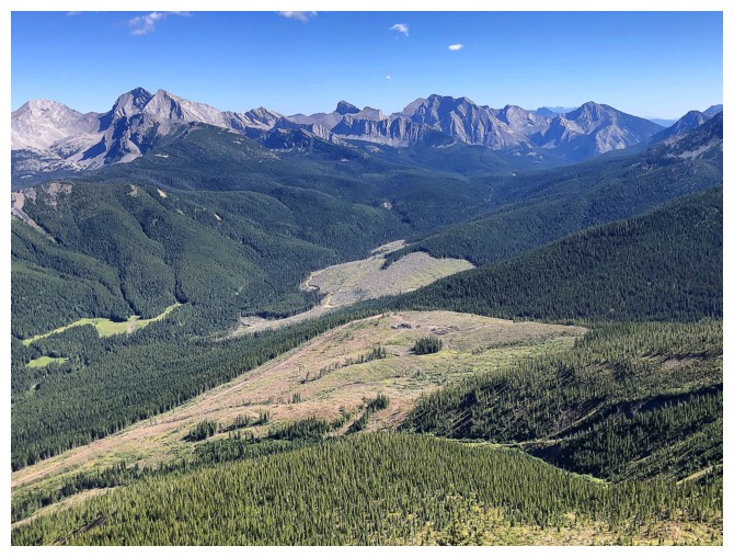
Clear-cuts to the southeast
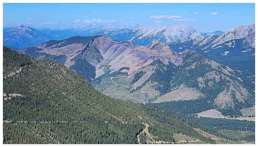
Tent Mountain has been heavily mined and logged (photo by Dave)
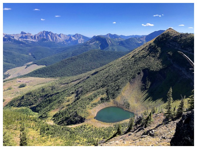
Small but beautiful tarn
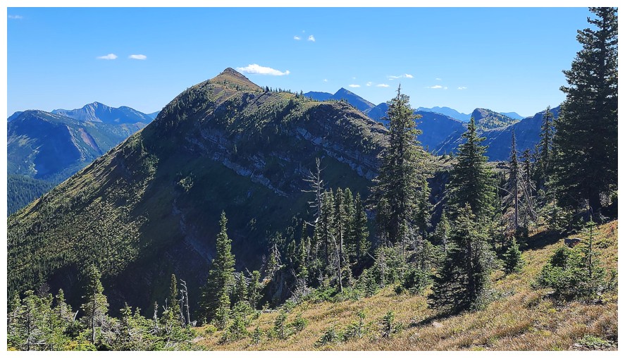
The next and final summit of the day looks so inviting
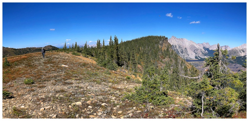
The treed ridge leads to an open flat section
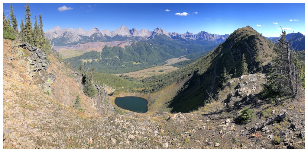
The tarn was the centre of attention throughout the traverse
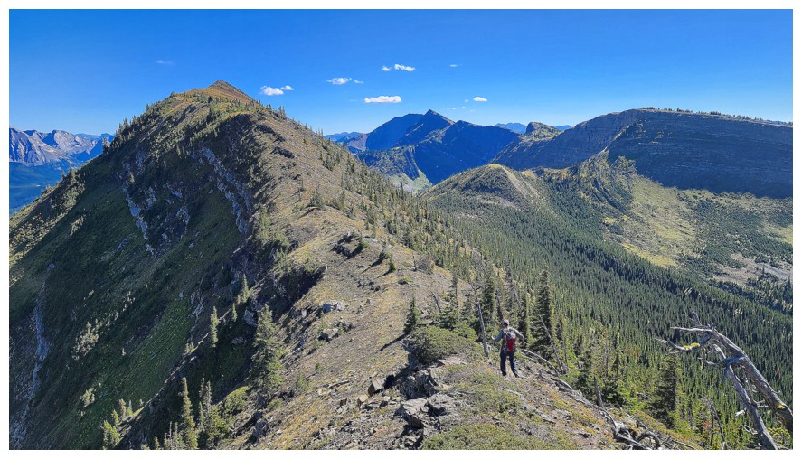
A few minor ups and downs along the way (photo by Dave)
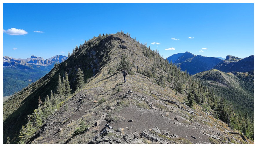
Only up from here (photo by Dave)
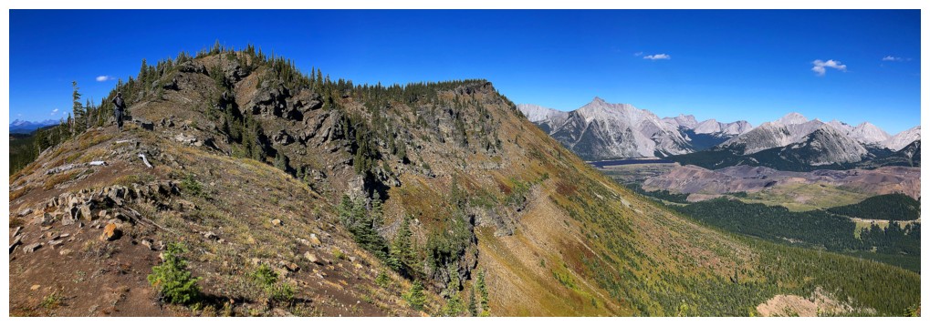
Looking back to the last highpoint and checking out some return options
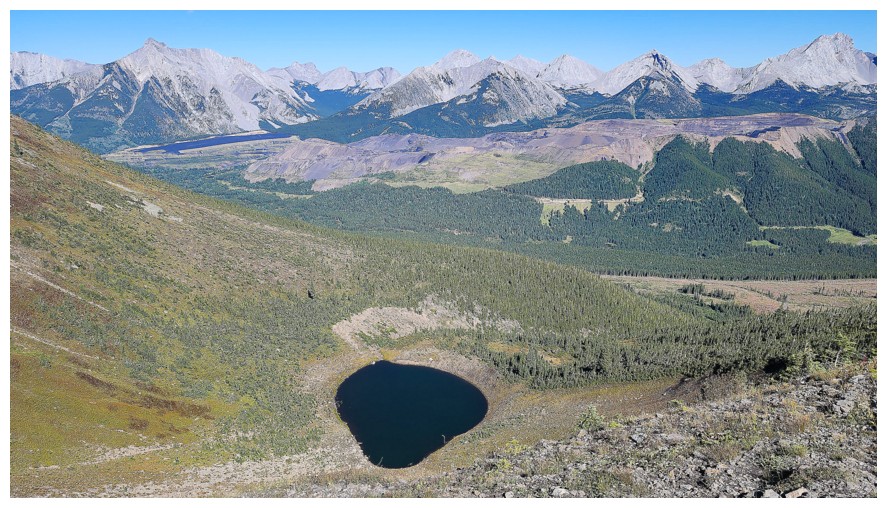
The tarn again (photo by Dave)
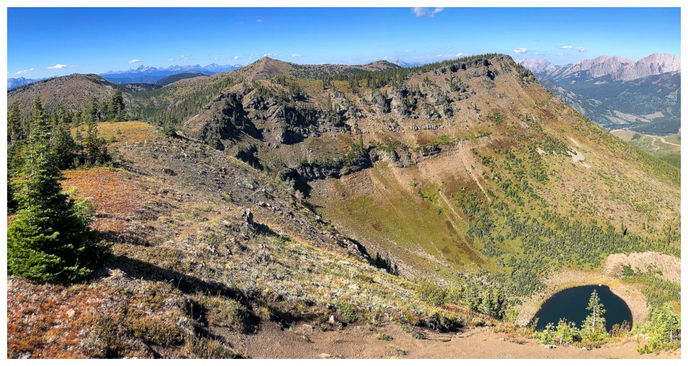
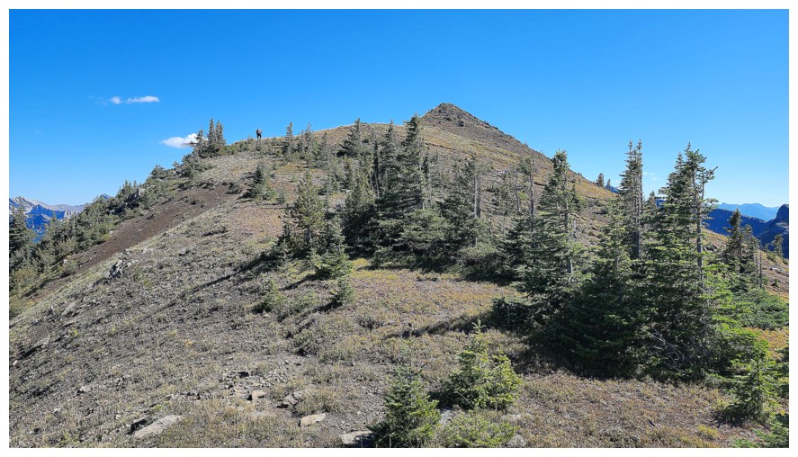
The final stretch (photo by Dave)
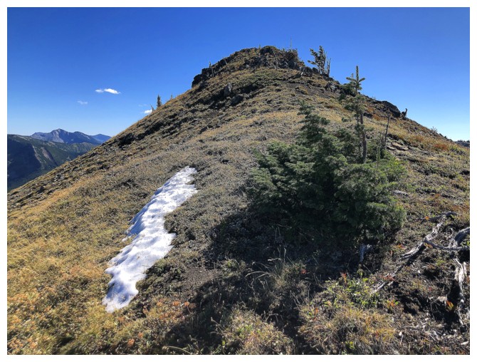
Another snow patch that forgot it was supposed to melt
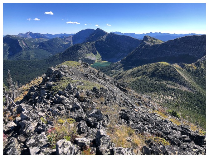
Summit
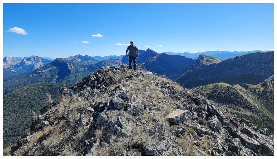
No yellow jacket guy at the top (photo by Dave)
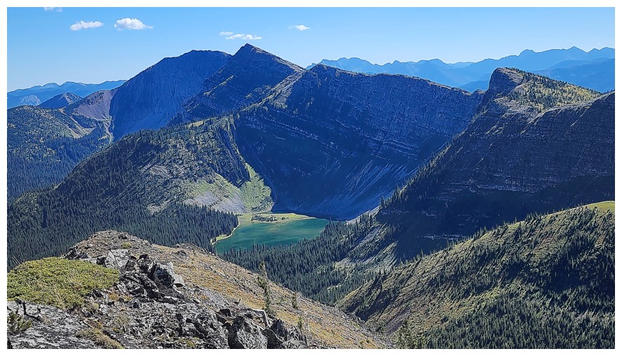
The best view was towards Elliot Lake and Barnes Peak (left) (photo by Dave)
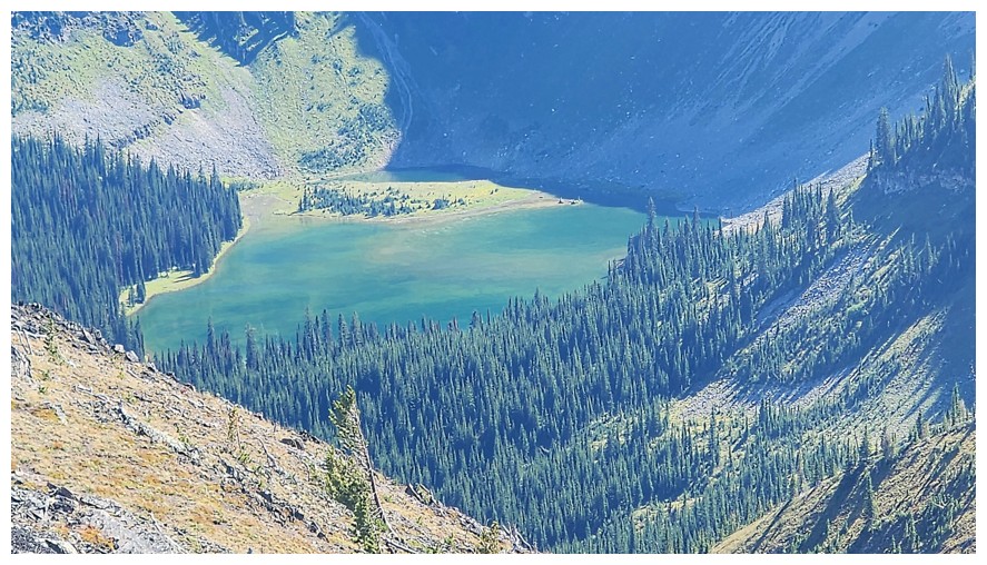
Close-up of Elliot (photo by Dave)
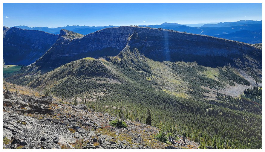
Though
all part of the same massif, further south of the summit, the ridge
changes in name from Michel Head Ridge to Limestone Ridge (seen here)
(photo by Dave)
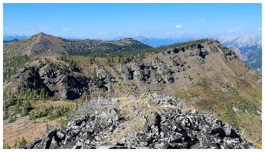
The other three highpoints we reached (photo by Dave)
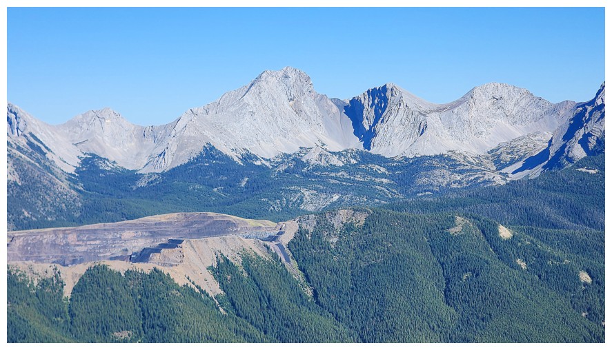
Darrah and its southern outliers (photo by Dave)
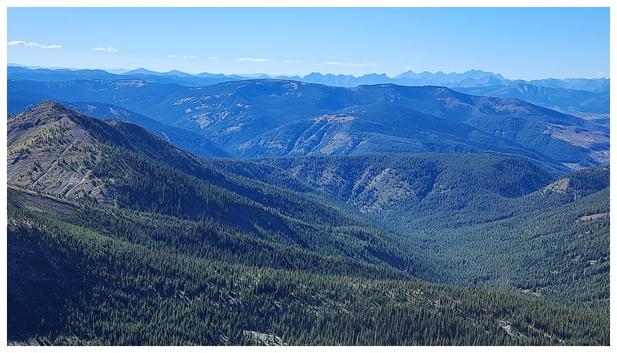
The view to the west is hardly spell-binding, but pleasant, nonetheless (photo by Dave)
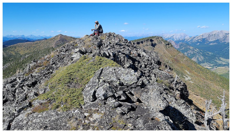
Dave forced me to do The Thinker pose at the top (photo by Dave)
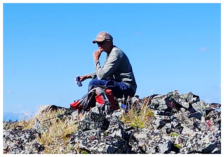
Too bad Rodin didn't sculpt a Red Bull in The Thinker's right hand - he may have been able to think faster! (photo by Dave)
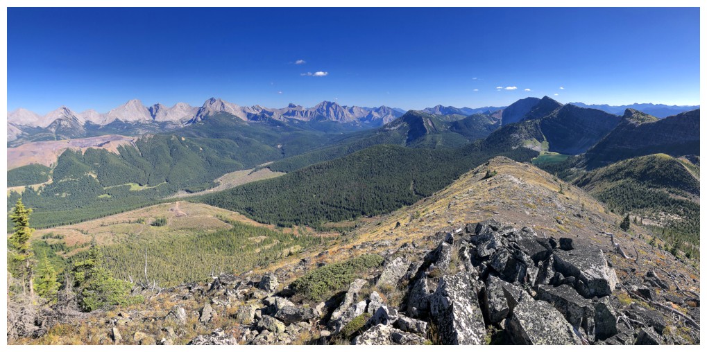
Pano 1
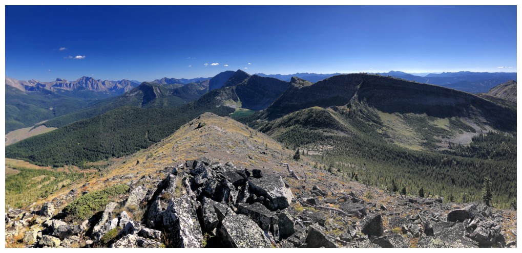
Pano 2
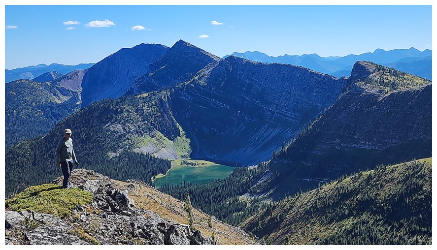
The Thinker has transformed into The Poser (photo by Dave)
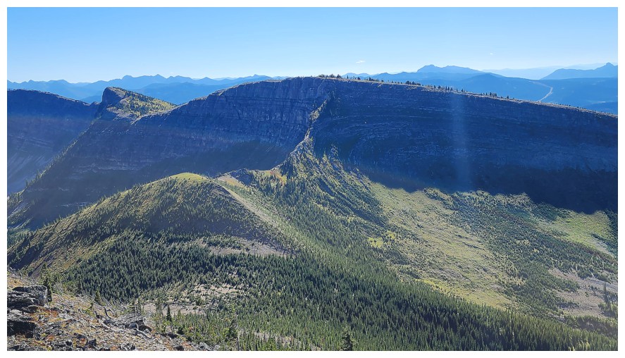
Continuing on to Limestone Ridge was not on the agenda for the day (photo by Dave)
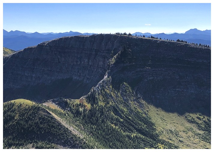
Having said that, even with extra time and energy, I'm not sure this section would go as a scramble
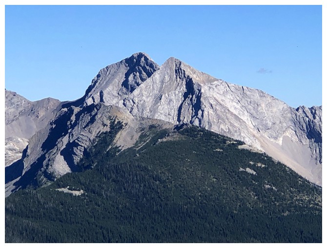
We had a very memorable day attempting Darrah S2
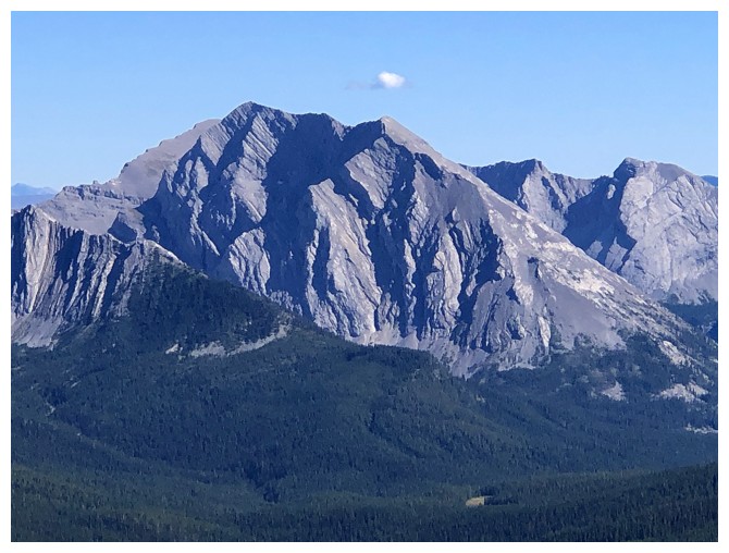
Same for Centre Mountain, but we did make the summit
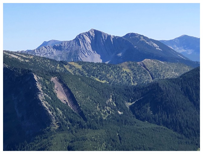
Mount Corrigan is on the to-do list
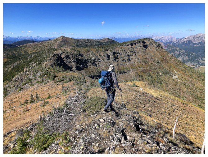
Leaving this fine summit
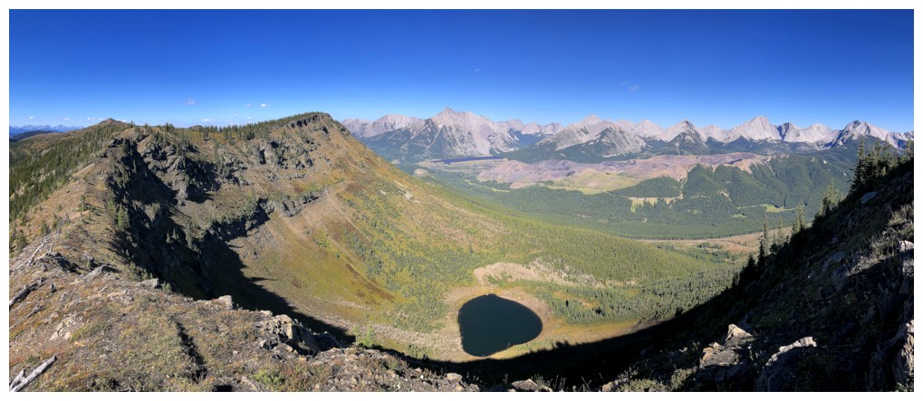
Yet again, that tarn
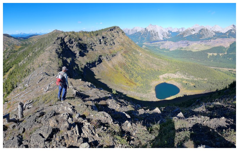
Same as above (photo by Dave)
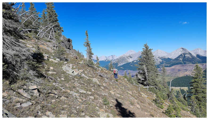
Just before reaching the previous highpoint, we started a traversing descent towards the steep forest (photo by Dave)
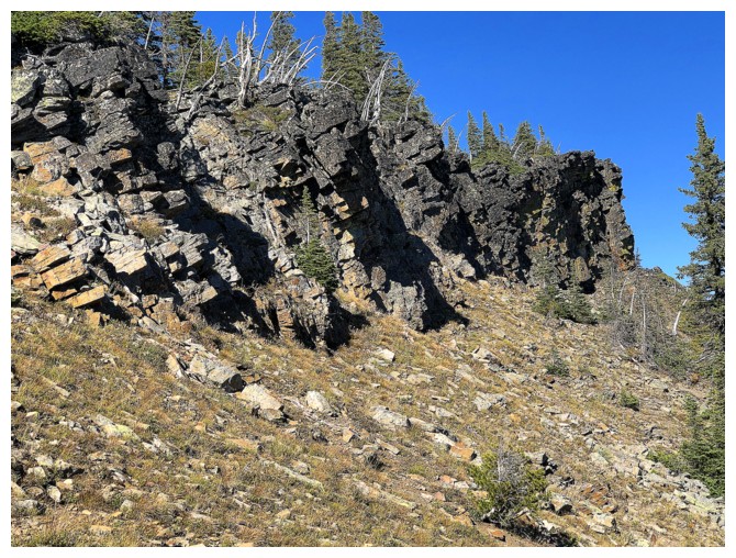
Cool rock band below that highpoint
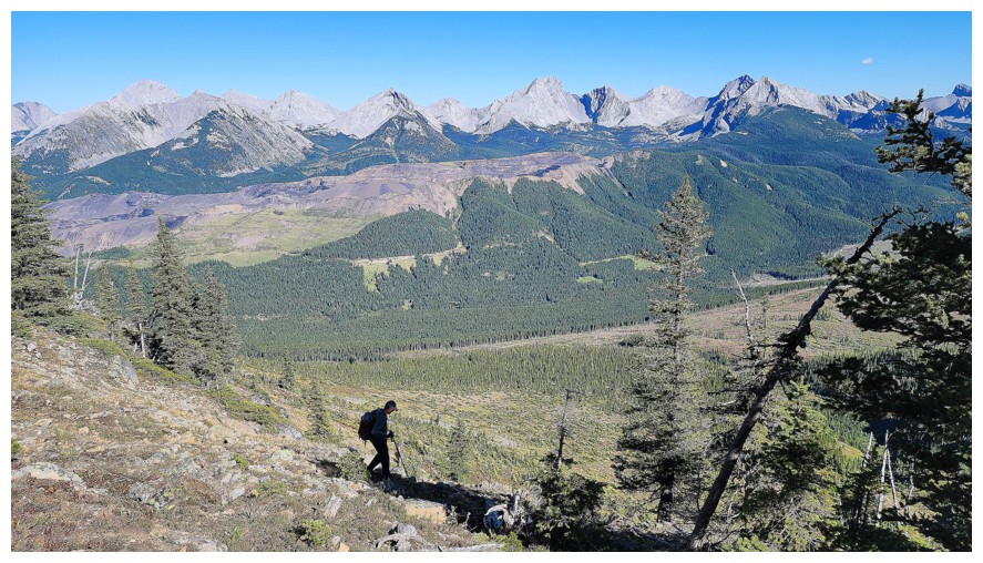
I like the way Dave captured this photo, with me in shadow (photo by Dave)
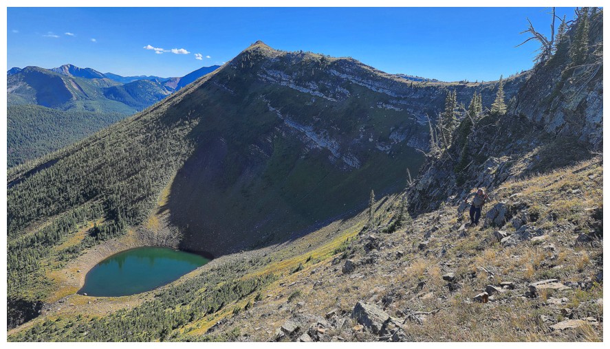
Still traversing (photo by Dave)
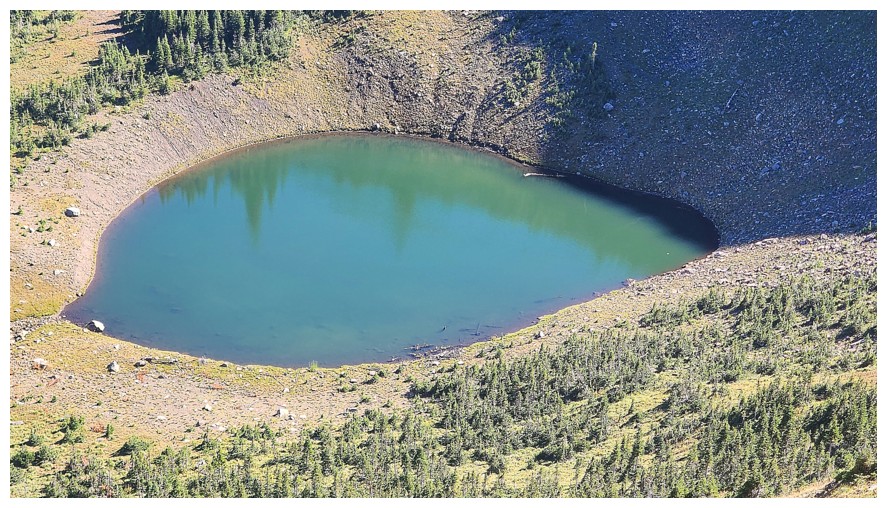
Going
down to the tarn was extremely tempting, but it would have required a
big elevation gain to get back to the descent route (photo by Dave)
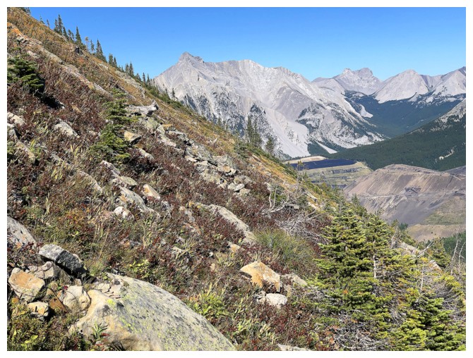
Autumn colours
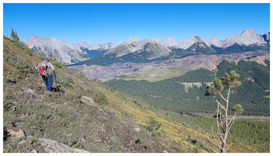
And STILL traversing! (photo by Dave)
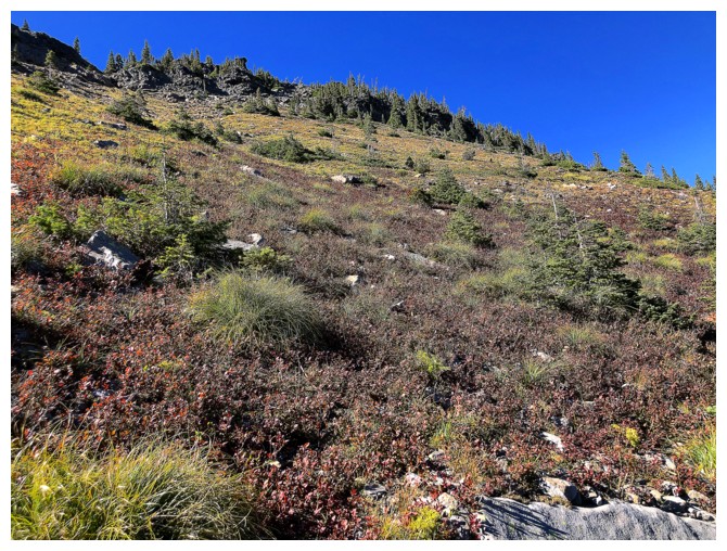
Looking back up towards the highpoint. We could have descended directly
from it, but then we would have missed the cool views of the tarn.
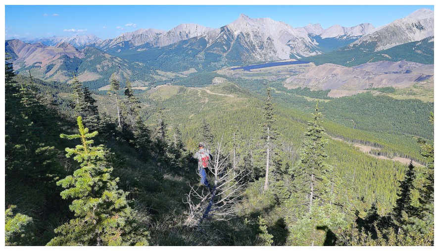
Here we go - Round 2. But this round was not pleasant! (photo by Dave)
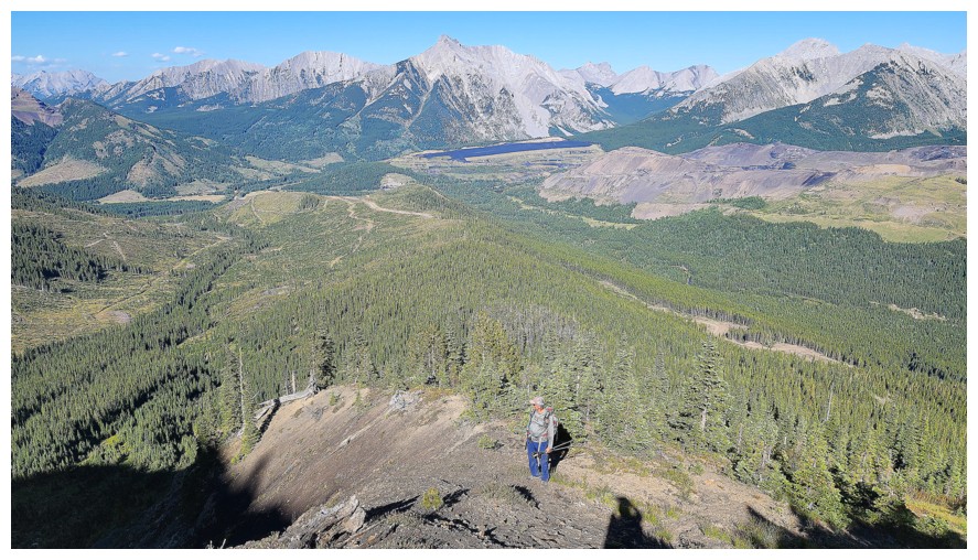
After
some downhill bushwhacking, we reached this open area. The bikes are at
the end of the road just left of centre. Between us and the bikes sits
nothing but dense bush on steep slopes (photo by Dave).
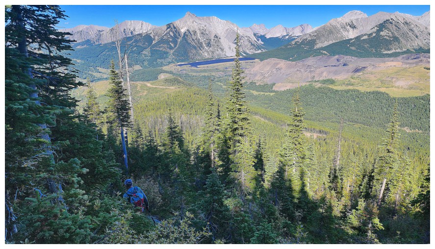
Into the bush (photo by Dave)
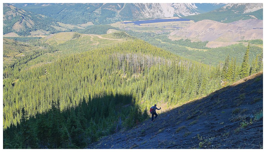
Another section where we found a break from the forest, but it was short-lived (photo by Dave)
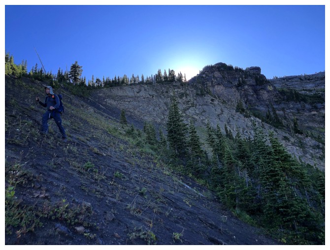
Dave traverses that terrain to get back to the ridge
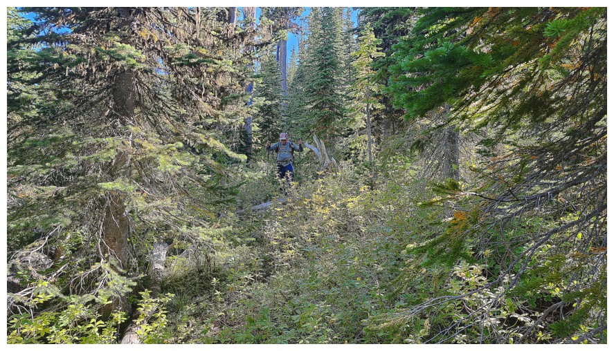
Back into it. Most of the bush was much thicker than this and way steeper (photo by Dave).
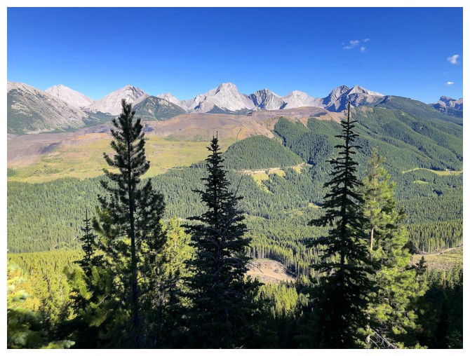
Trees in shadow are also good at times
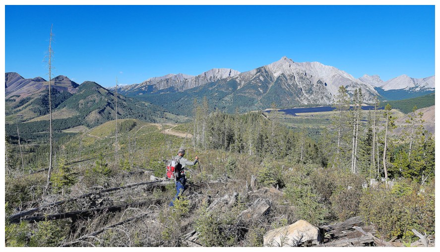
Out of the bad stuff and the road is visible (photo by Dave)
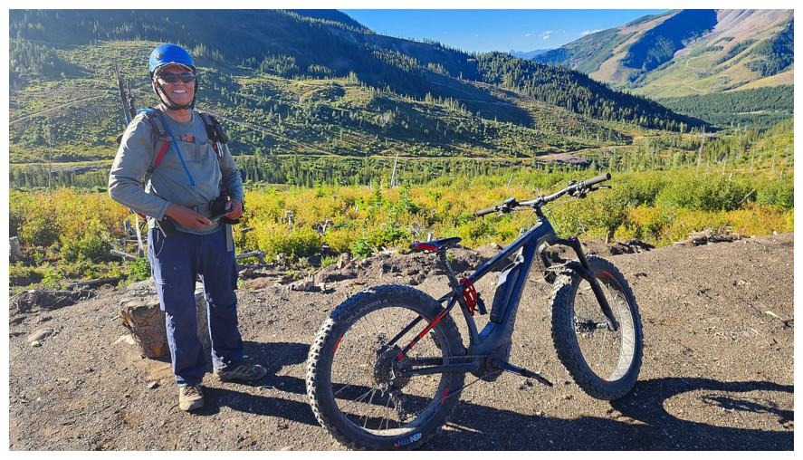
Reunited with two wheels and a motor (photo by Dave)
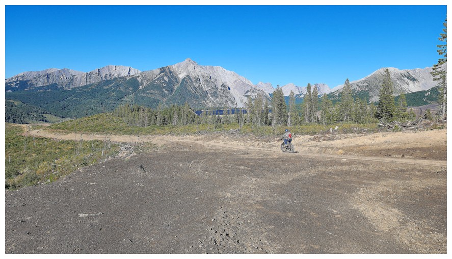
Starting
the easiest descent ever - I didn't even have to turn the motor on (and
still no yellow jacket in sight) (photo by Dave)
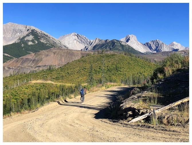
The fitter guy gets the last word. Dave bikes downhill much faster than
me. I keep the companies that manufacture bike brakes in business!
The End
LOG
