Middle Sister II
The Orphan II
July 22, 2021
Mountain height: 2769 m
Elevation gain: 1700
m
Round-trip time: 6:35
Solo scramble.
I should have enjoyed this trip more than I
did. Unfortunately, the disappointing weather rained on my parade – though, fortunately
figuratively, not literally!
Middle
Sister is not a likely candidate for
repeat ascents, especially via the long Stewart Creek route. However, a
new route
from Highway 742 (Smith-Dorrien) has been gaining popularity and I
definitely wanted
to check it out. The route first goes up to a col west of The Orphan,
then descends
and side-slopes towards the Middle Sister/Big Sister col, and finally
intercepts the
Stewart Creek route for the final push to the summit. The only drawback
is the 1700 metres of overall elevation gain – about the same required
for Mount
Temple, the peak that is almost 800 metres higher!
In
short, the ascent to The Orphan col was probably
the most enjoyable aspect of the route. Descending the other side and
up to the
summit of Middle Sister, while relatively easy was far from aesthetic.
In addition to the unstable and awkward footing throuhgout,
the cloudy and hazy skies attributed greatly to my overall lack of
enjoyment of
the ascent.
On return, a quick run up The Orphan seemed like
a good idea and it was – in some ways this minor summit is a better destination
much than higher Middle Sister.
Glad I did it, but probably not a trip I’d
repeat anytime soon. Having said that, overall I did prefer this route to the one
via Stewart Creek.
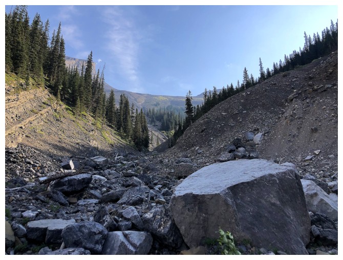
Easy boulder hoping up the creek that leads to the ascent slopes of The Orphan
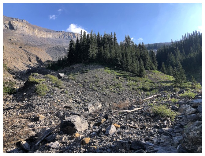
There are two routes up from here, on either side of the tree island in the middle
I took the left side
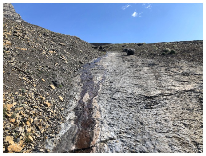
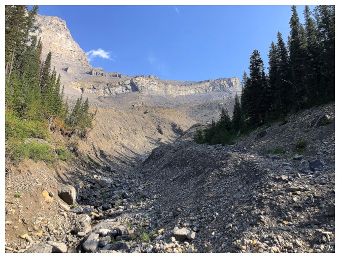
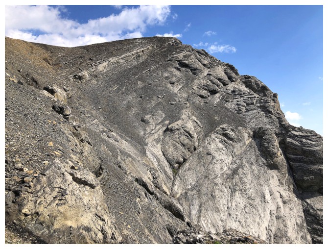
Nice slab to walk up
The view to the west is good but completely clear skies were forecast
Passing by an outlier of "Big Rim Ridge"
At The Orphan/Rimwall col and optimistic about the weather
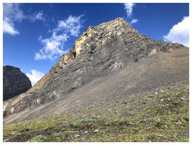
There's The Orphan
The Rimwall to the southeast
The Three Sisters. Obviously Middle Sister is in the middle.
Middle and Little
Looking back up to The Orphan
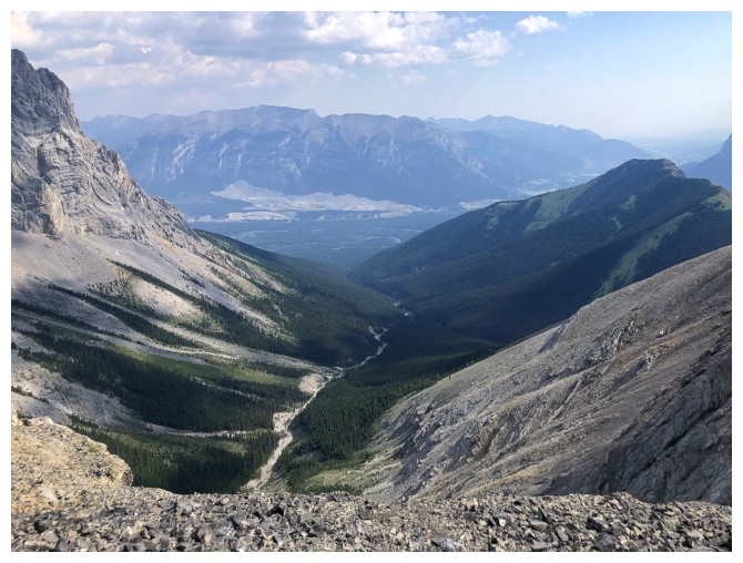
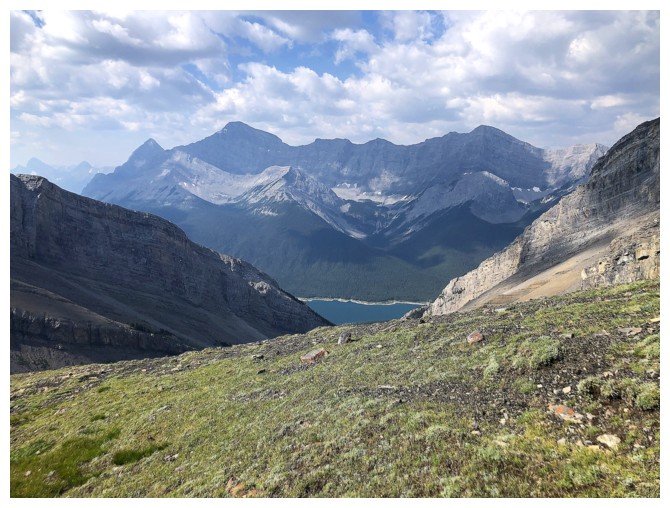
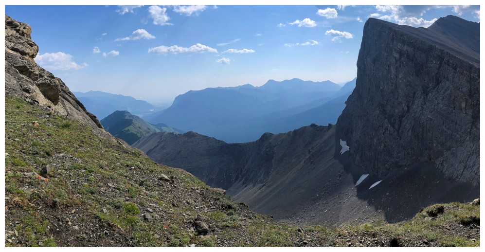
The view down Stewart Creek - it's a long creek!
Another view of the Sisters and green Wind Ridge near the right
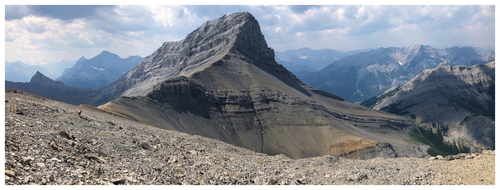
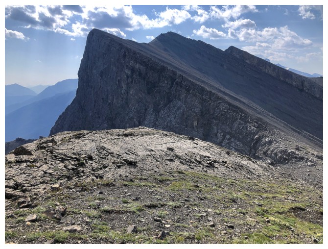
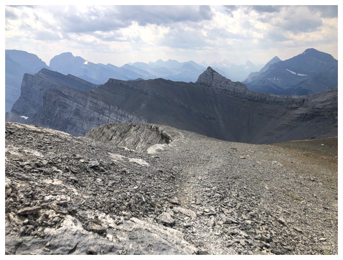
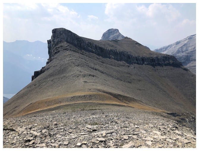
The route up Middle Sister is obvious, but first you must lose about 300 m of elevation
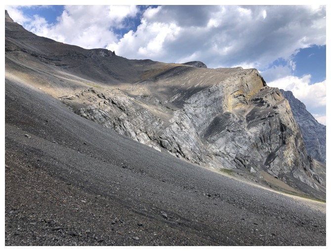
Lots of side-sloping before the Middle Sister trail is intercepted
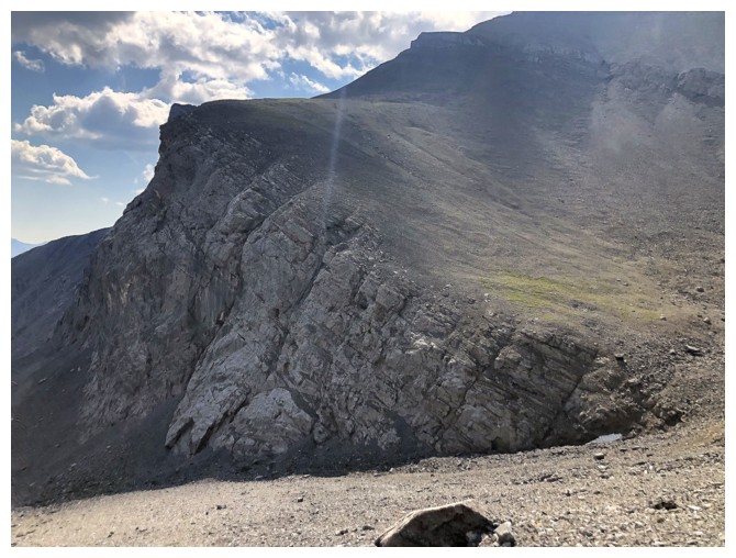
Looking back at the terrain I just came down
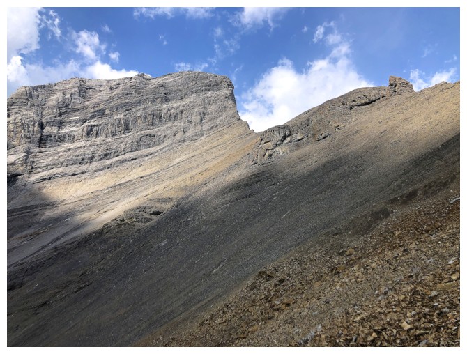
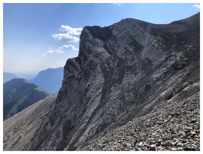
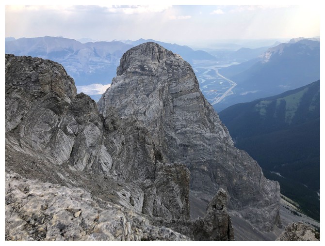
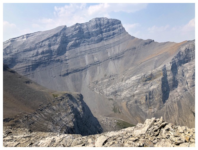
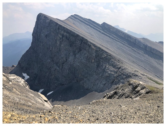
Big Sister. There's a 5.10 climbing route that goes up that near vertical skyline.
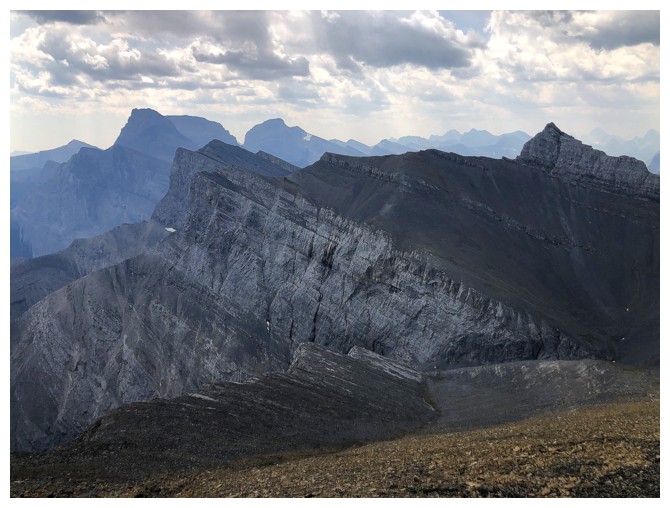
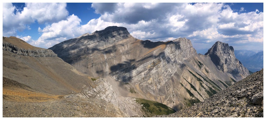
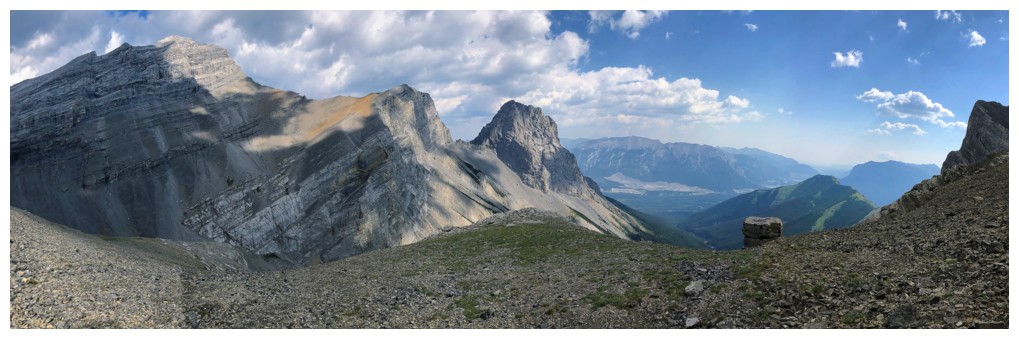
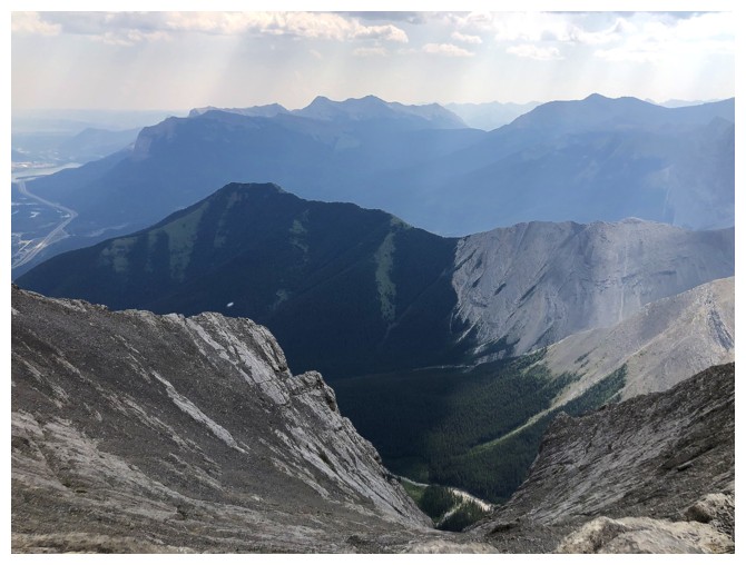
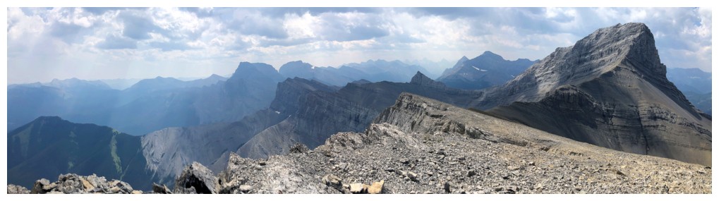
Several big peaks in this photo (The Rimwall, Lougheed, and Sparrowhawk). Unfortunately the marginal weather obscures them. The pointy peak at the far right is Big Rim Ridge.
On the Middle Sister trail
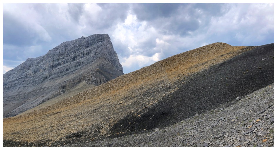
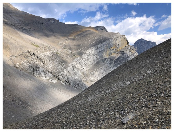
Interesting scree colours and that route up Big Sister
Wind Ridge in the middle
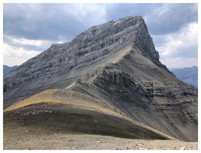
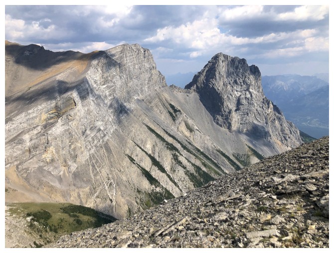
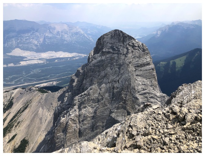
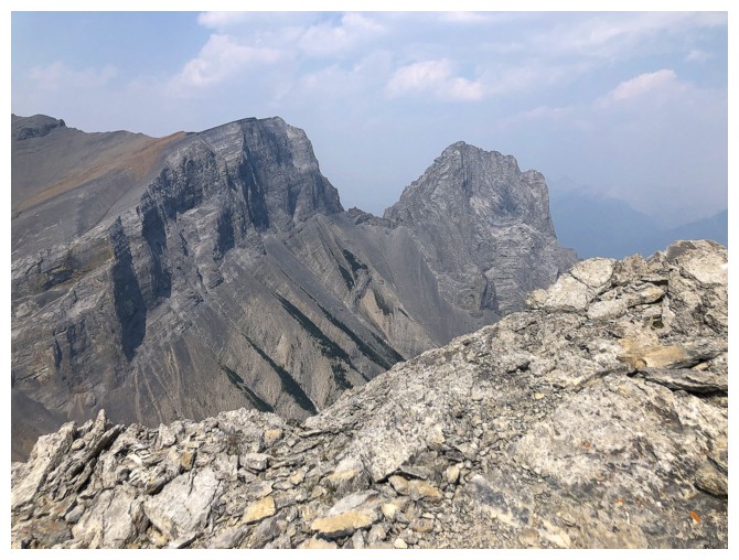
The day's most dramatic view of Big Sister
Add Mount Nestor and Old Goat Mountain at the far right to the view to the south
Little Sister is easily the most challenging of the Sisters. The
easiest route up is an old-school 5.3 rating on less than stellar rock.
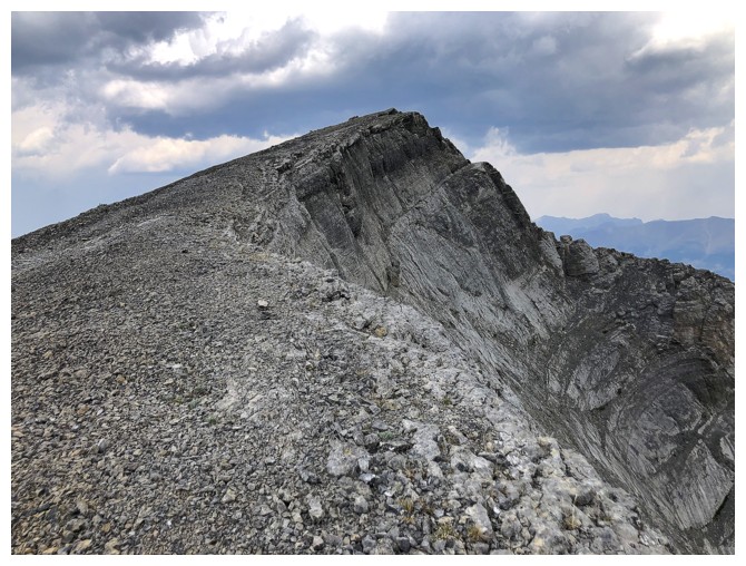
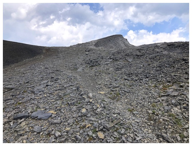
Final push to the summit
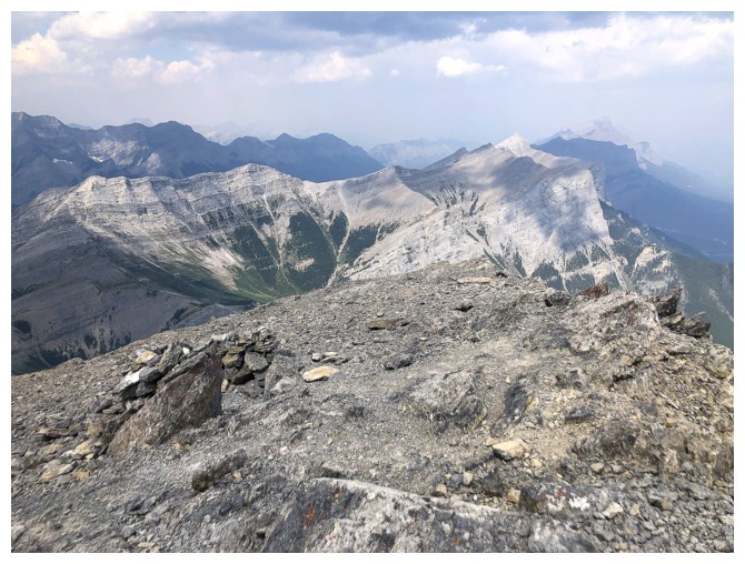
Summit view to the northwest includes Lawerence Grassi and lots of cloudy, hazy crap!
Southwest and south view
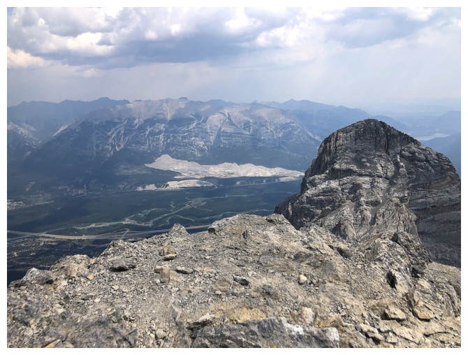
The mining scar on Grotto Mountain is getting bigger and bigger
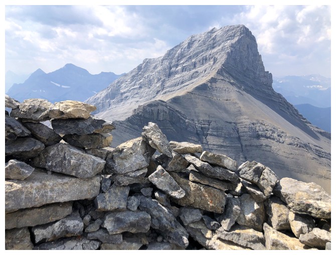
Big Sister from the rock shelter at the top
Little again
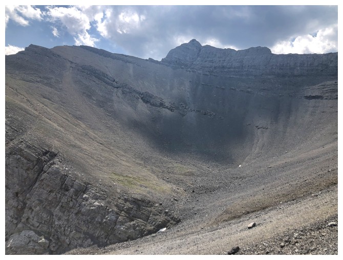
Descending back to the bowl between Middle and The Orphan
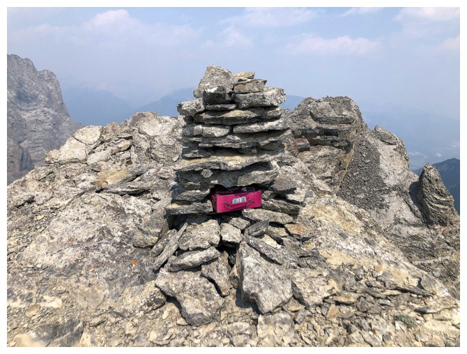
Cairn on The Orphan
Parting look at Middle and Little
Same for Big
Big Rim Ridge - not an easy ascent by any means
The Rimwall
The End
LOG