Olympic Summit IV
December 11, 2022
Mountain heights: 2348
m
Elevation gain: 1000
m
Round-trip time: 7:25
Solo scramble.
I really cannot get enough of this trip. With clear skies
and some snow (but not too much), the scenic value of the Centennial Trail is
the best deal in Kananaskis!
Not much new to report on this day except total awesomeness throughout (which is not really new!)
Once
again I was tempted to try for the summit of Mount
Allan, but knew that running up to the top and down would ruin the
overall experience
– not to mention I had to be back in Calgary by 5 pm. I settled for, a
more or less, easy and care-free saunter to a point between
Olympic Summit and Allan and then the same on return. The only
difficultly was getting down the crux, where crampons and an ice axe
were essential.
Another amazing day on the Centennial Trail.
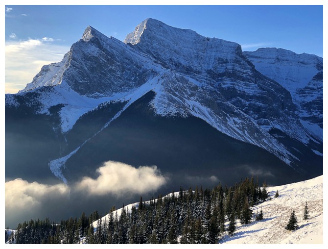
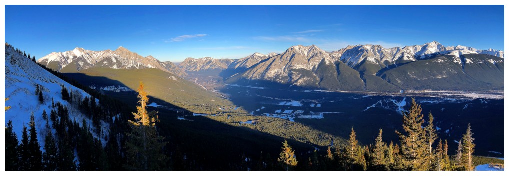
The end of the Coal Mine Trail always grants this good view of Mount Kidd
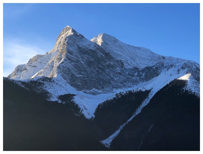
Close-up of Kidd. There is a challenging 5.8 route up this side - way above my pay grade!
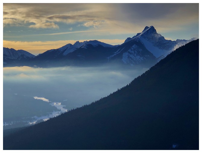
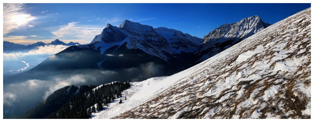
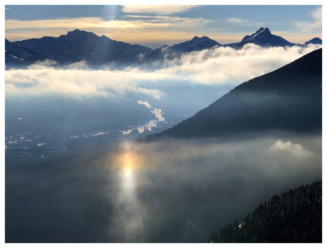
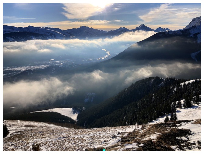
A distinctive layer of fog/mist remained in the valley to the east for the entire trip
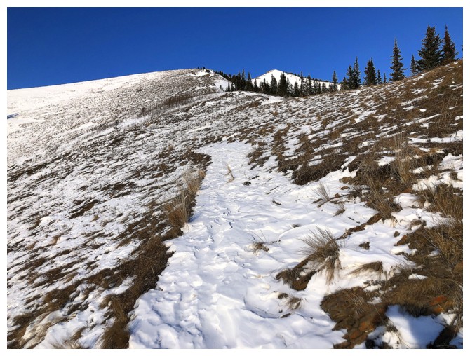
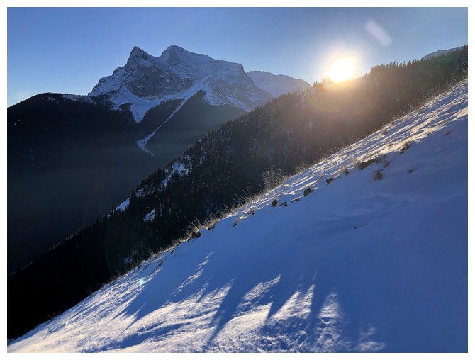
Typical terrain once above treeline
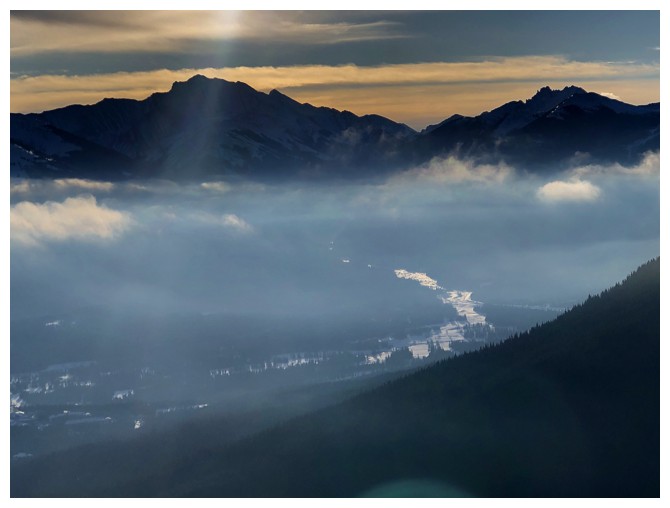
The mist
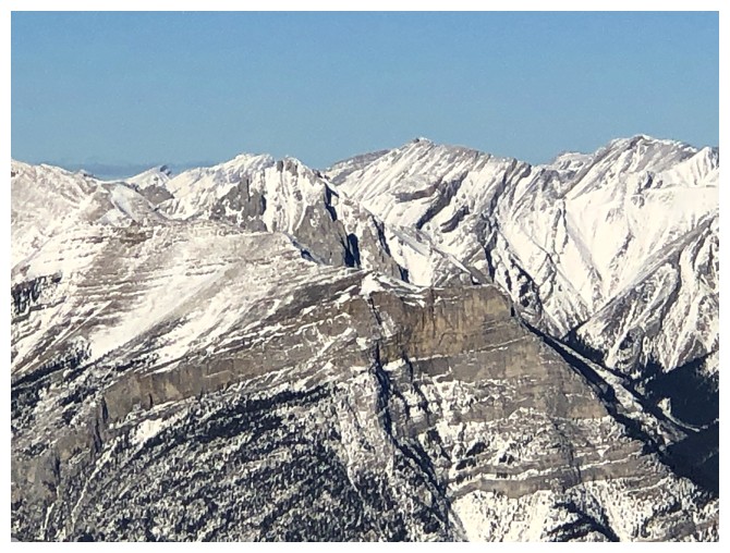
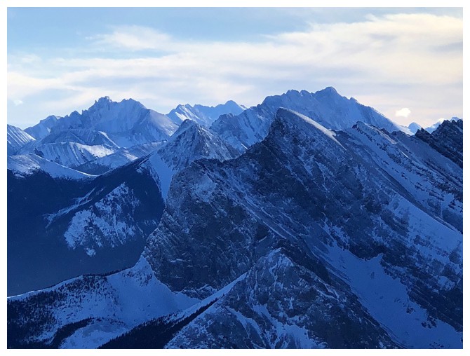
The double summit of Skogan Peak at the left and scary Mount Lorette at the right
These are the kind of scenes that get my heart racing on this trail
And therefore I will take many, many photos!
And many, many close-ups
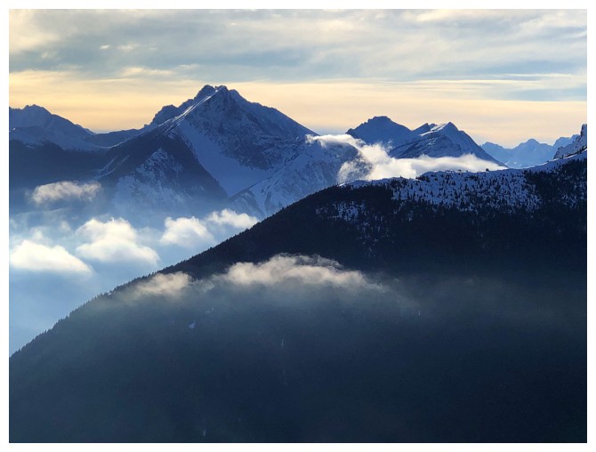
Distracted by the mist again. Fisher Peak at the left and The Wedge at the right.
Kidd South (far right) joins Mount Kidd
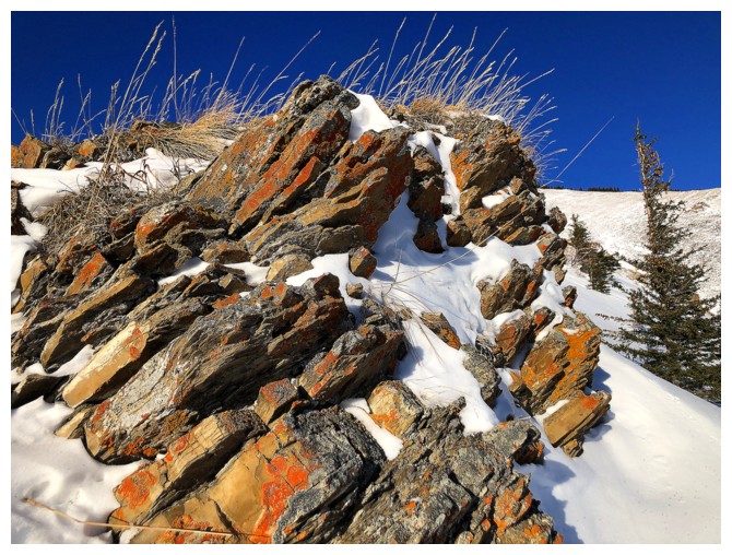
Amazing scenes of lichen-covered rock, snow, and mountains continue. Ribbon Peak in the centre.
Distracted again!
Back to the ascent
And the other distractions
The scary looking east side of Mount Sparrowhawk
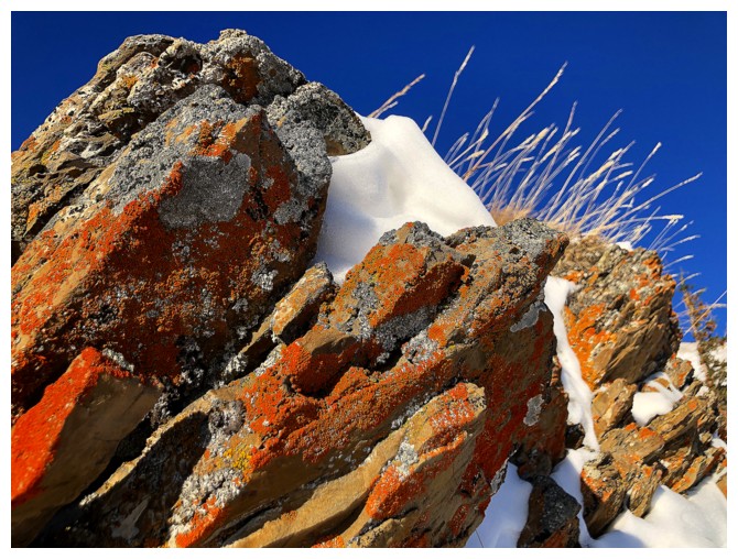
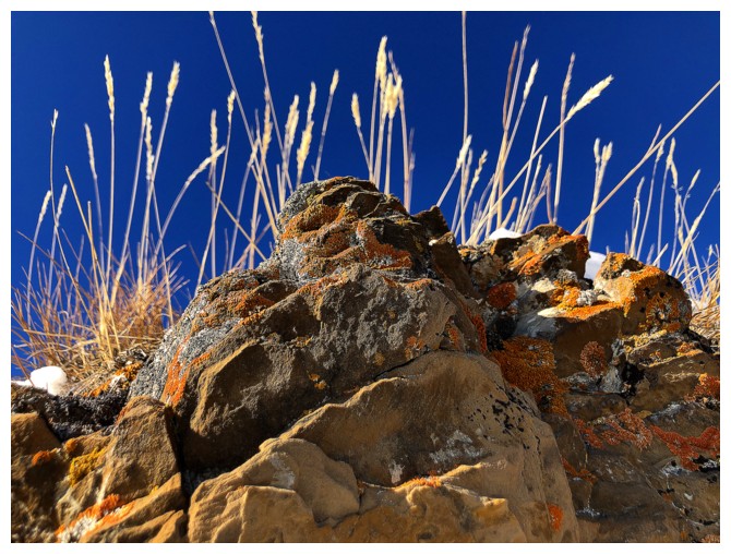
Can't get overly focused on the lichen-covered rock, when there's some equally wonderful snow scenery to check out
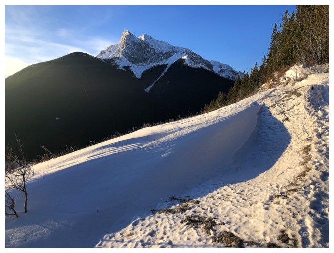
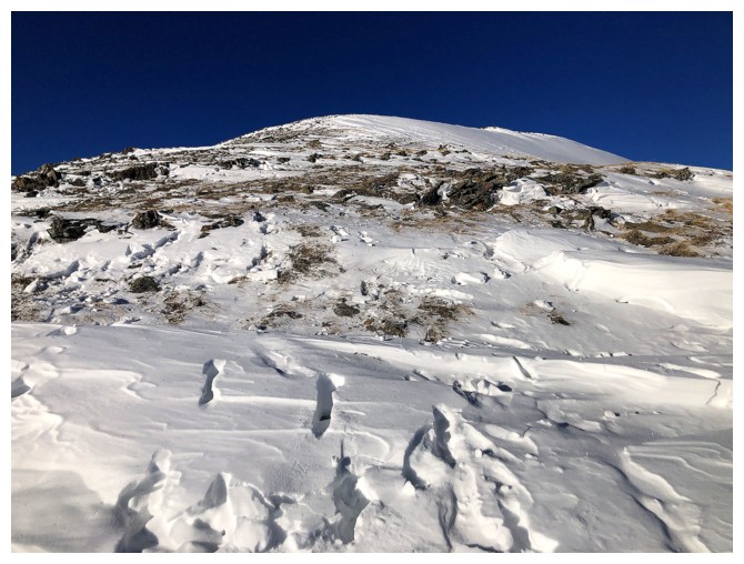
The crux of the ascent is coming up
A different kind of snow scenery
Back to the rock
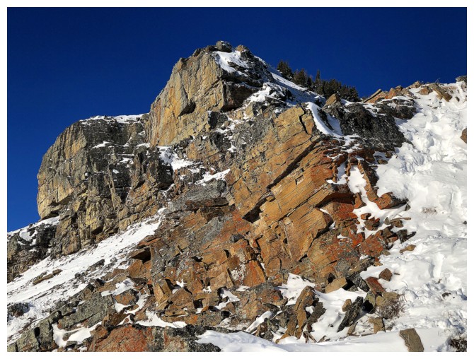
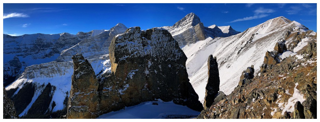
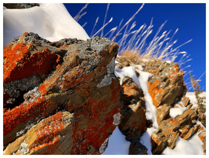
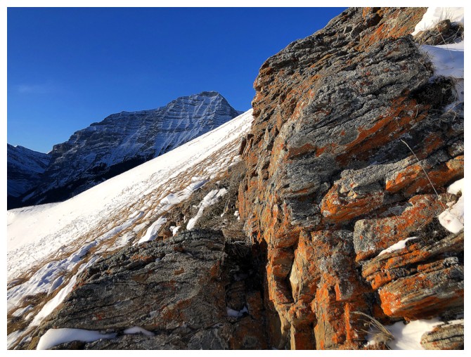
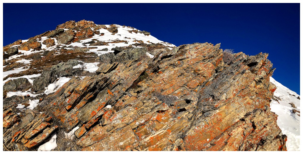
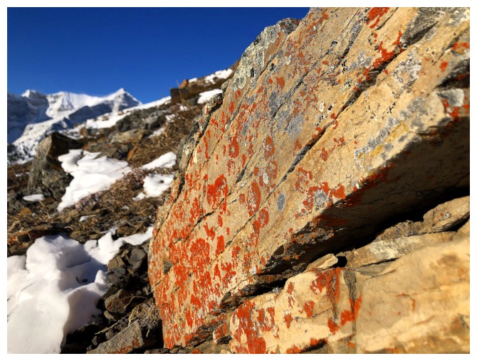
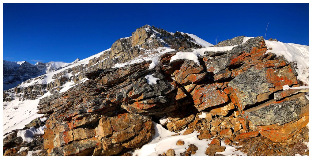
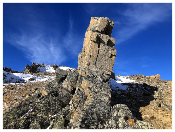
An exploration over to the left in 2021 yielded some the best rock scenery I've ever seen
Kinda' like this rock band on steroids!
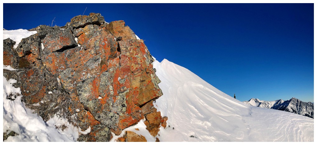
Approaching
the crux of the trip. Given the near waist deep snow covering the
trail, I took a steeper, less snowy route up.
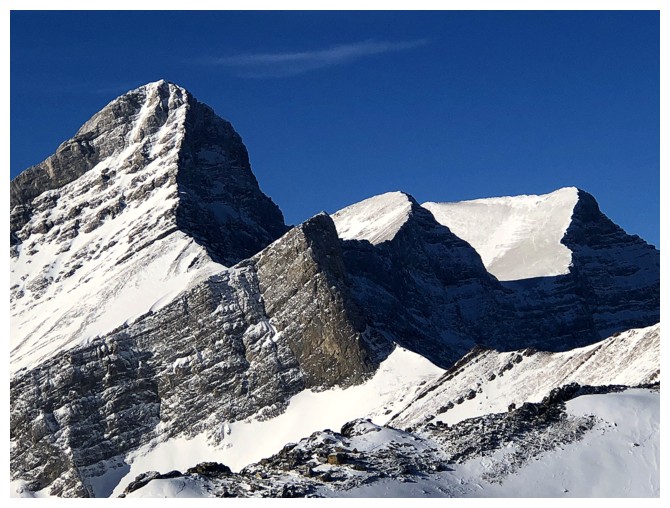
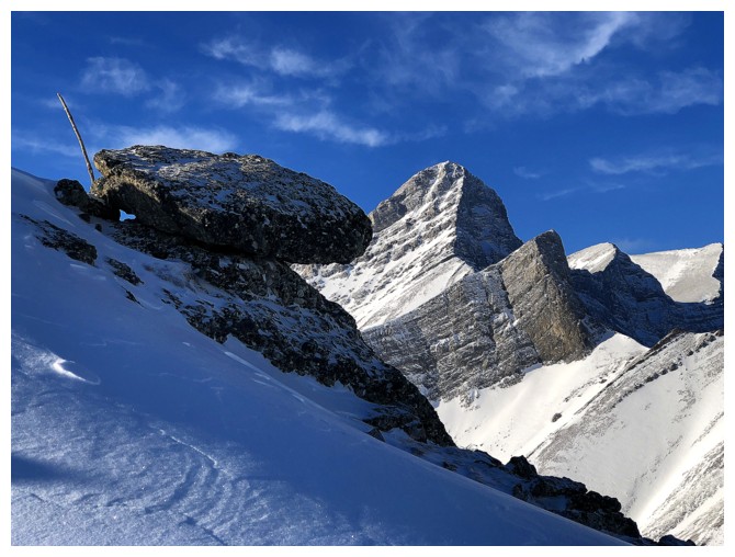
Atop the crux, looking down to the ridge below
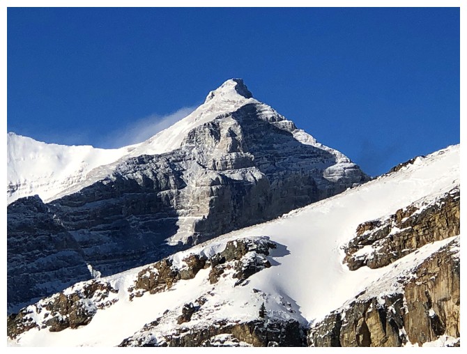
Mount Collembola - definitely a trip I'd like to repeat someday
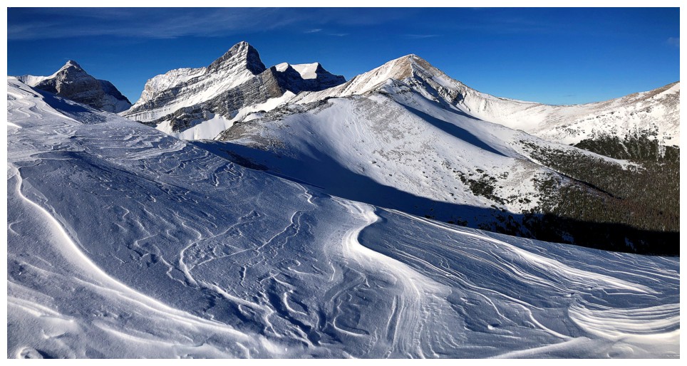
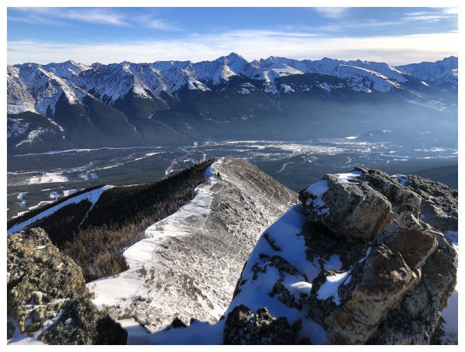
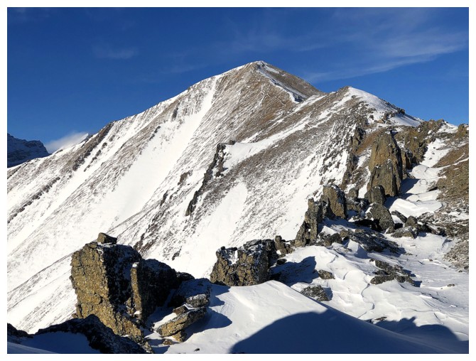
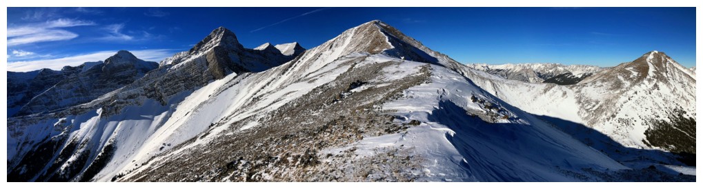
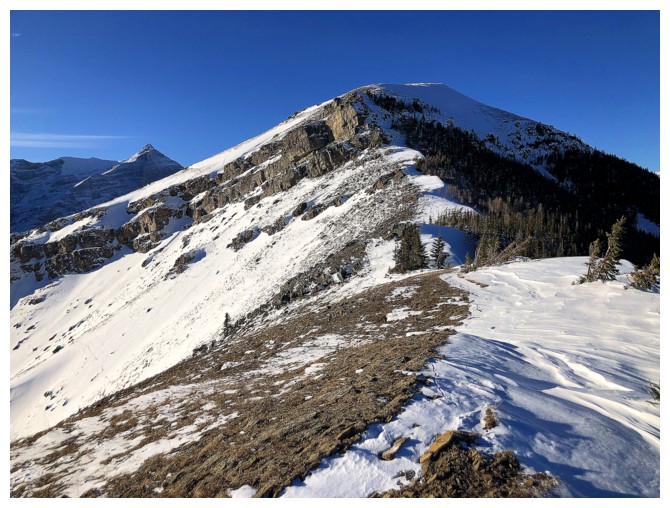
Olympic Summit is an easy hike from this point. Tracks in the snow indicate I'm not alone.
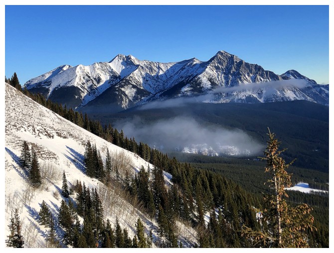
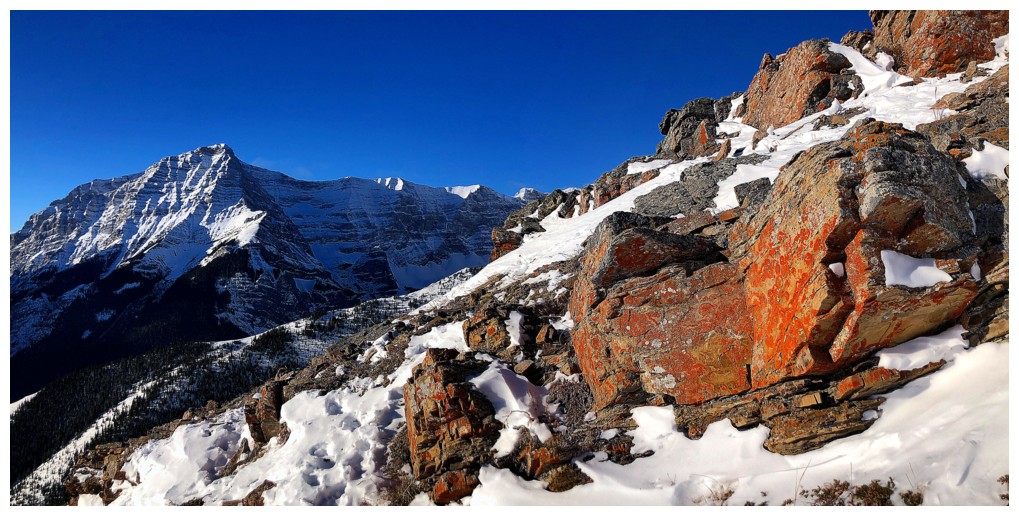
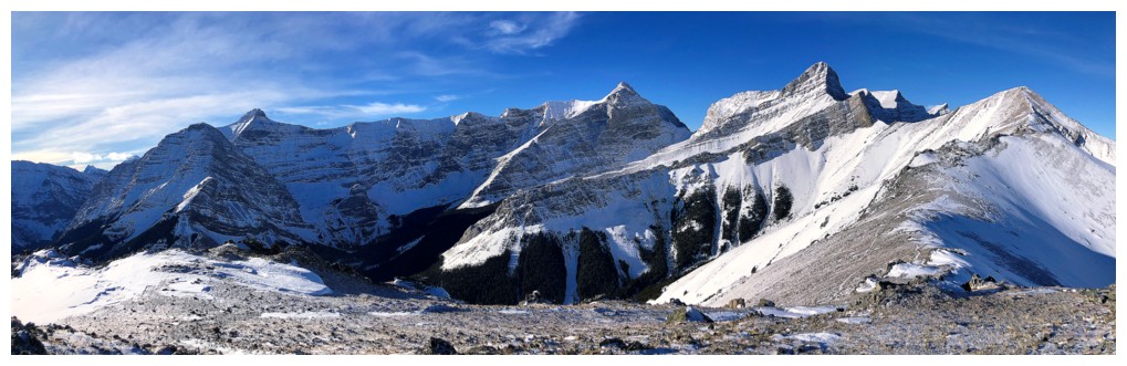
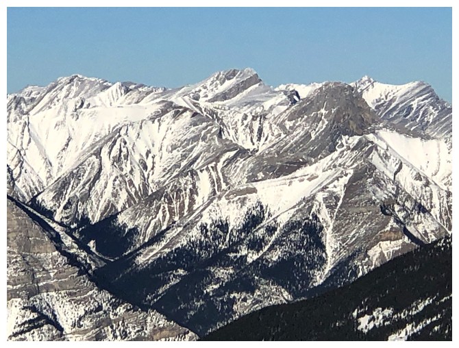
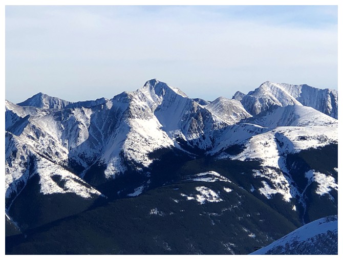
First of innumerable awe-inspiring views of Wind Mountain and my company on the mountain
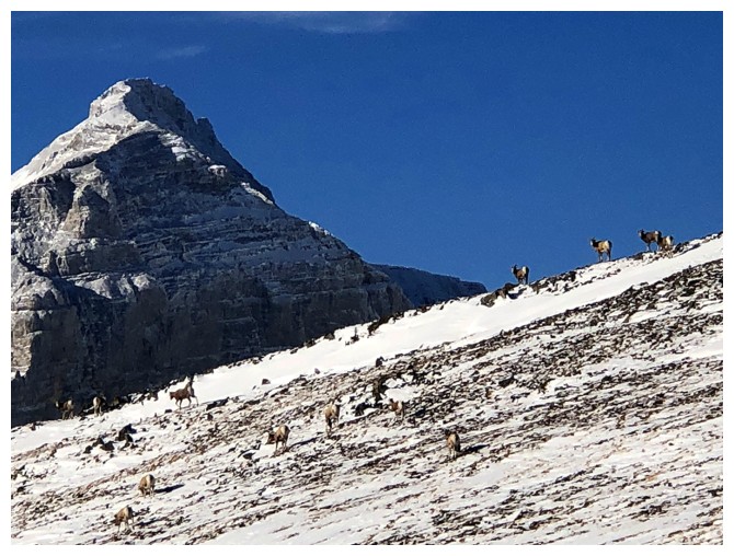
There they are
Wind and the third summit of Mount Lougheed at the far right
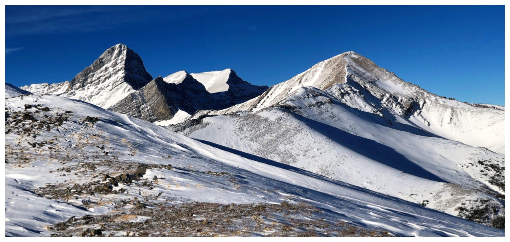
Add Mount Allan at the right
The true summit of Lougheed at the right
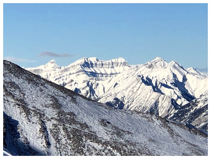
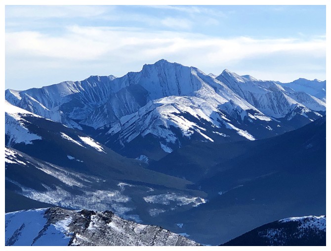
Mount Bogart peeks over Ribbon Peak
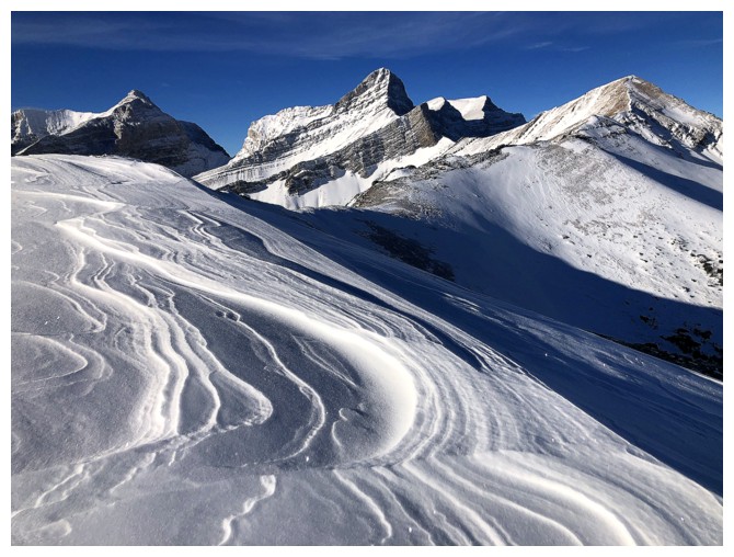
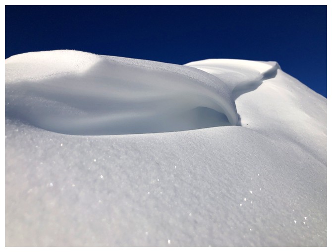
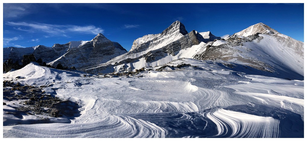
The wind-sculpted snow here was fantastic
As were the mountains in the background
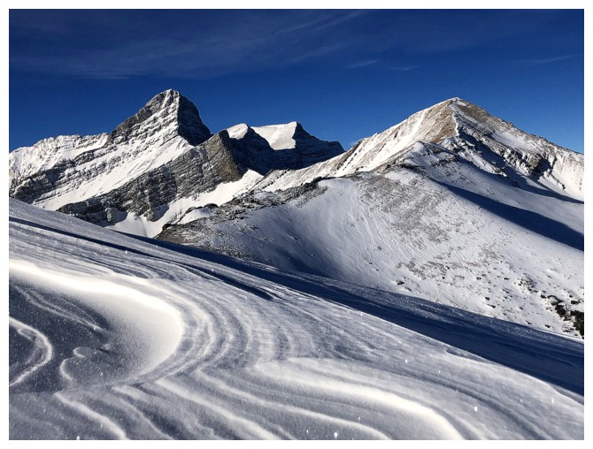
Went a little crazy here!
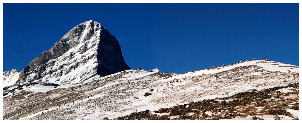
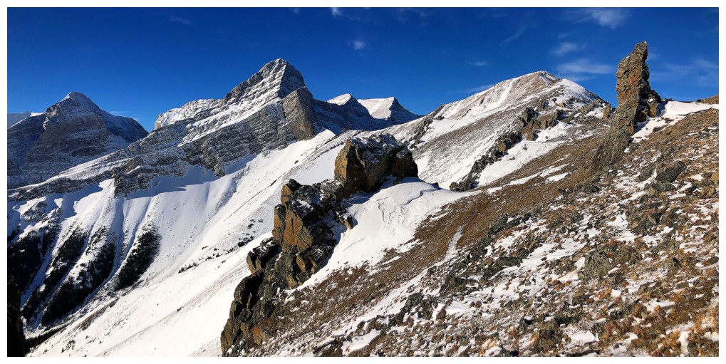
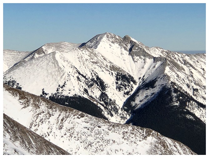
Summit at the left
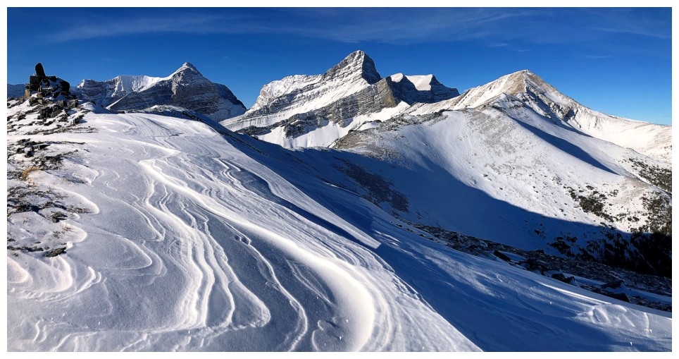
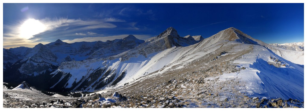
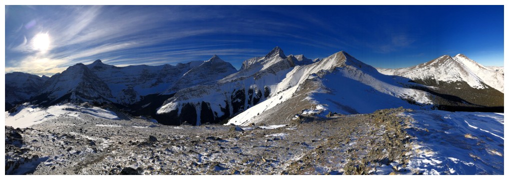
The summit view features several peaks over 3100 m in height (Bogart, Sparrowhawk, Wind, and Lougheed)

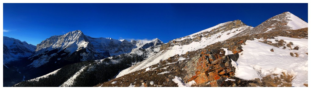
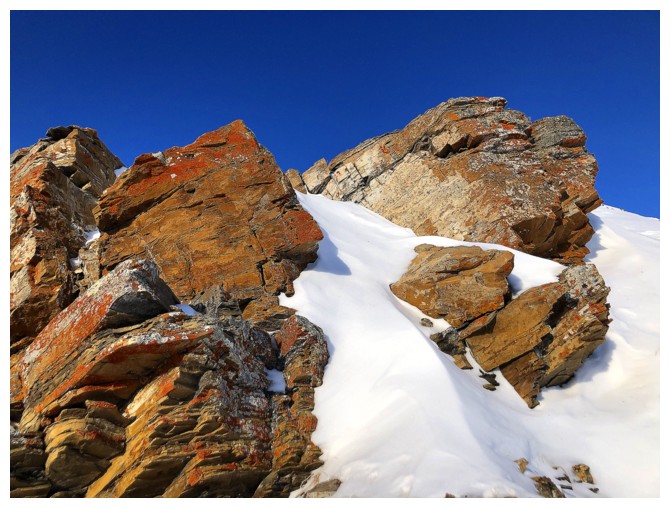
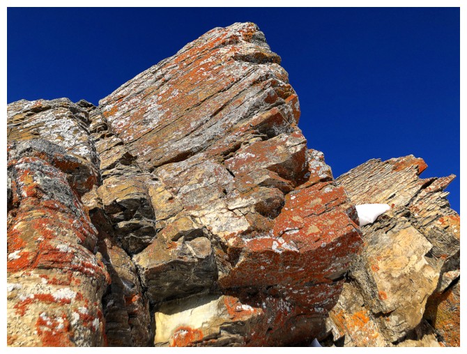
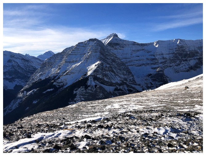
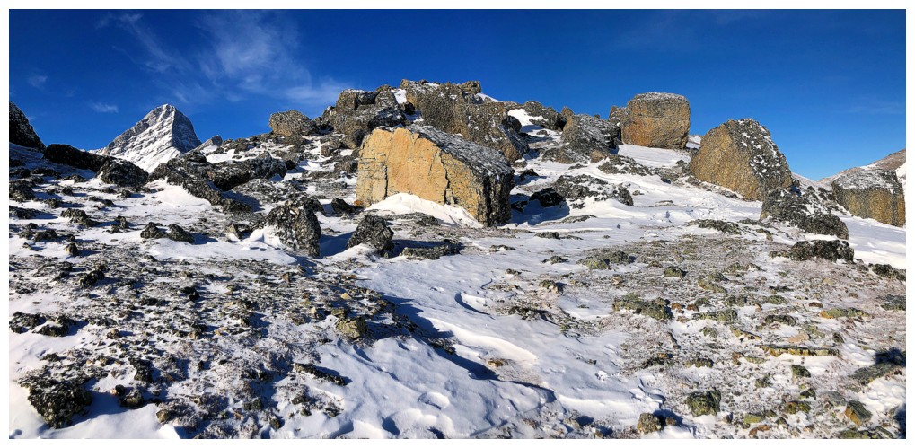
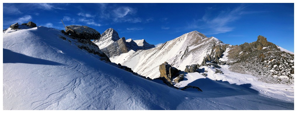
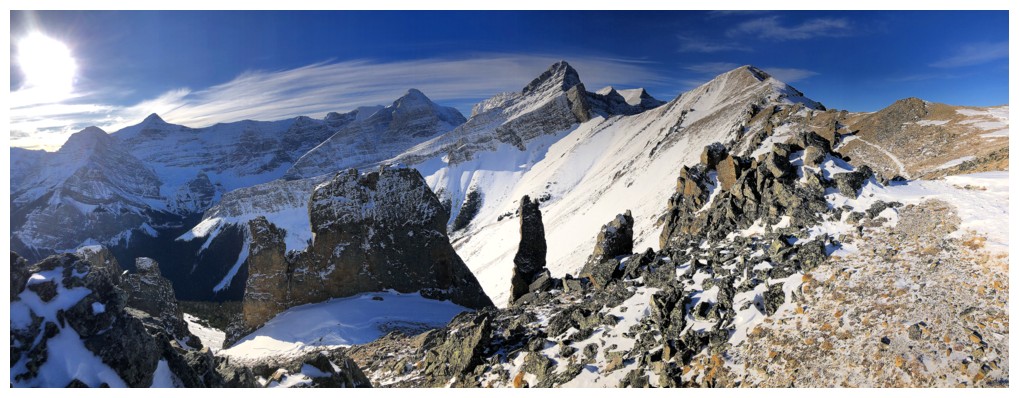
Continuing on to see the amazing rock scenery between Olympic and Allan
Surprisingly that's not it!
Nor is that
Cool conglomerate rock but still a "no"
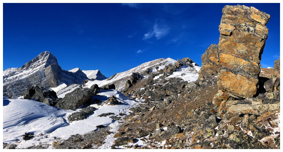
Getting warmer (figuratively, definitely not literally!)
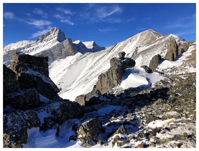
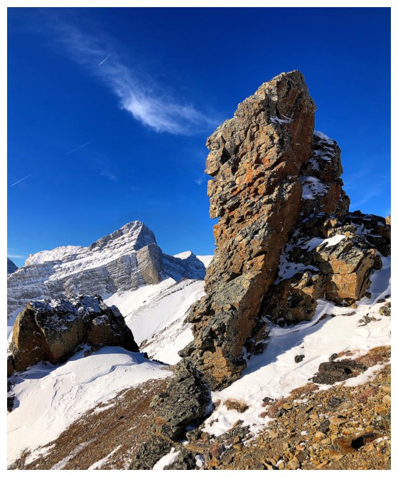
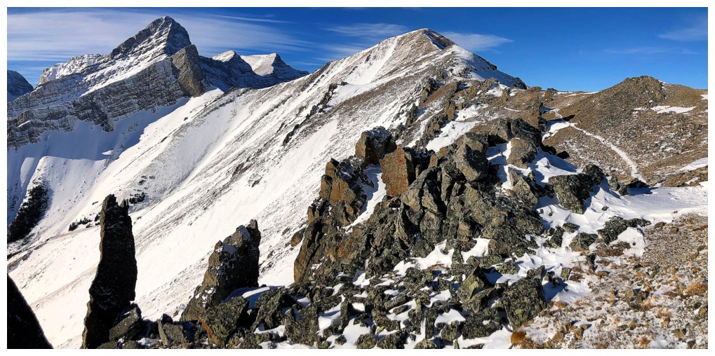
There is it at the right, but not looking very impressive yet
Cool balancing act
Even warmer
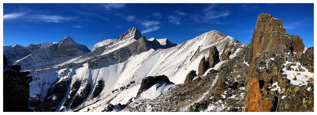
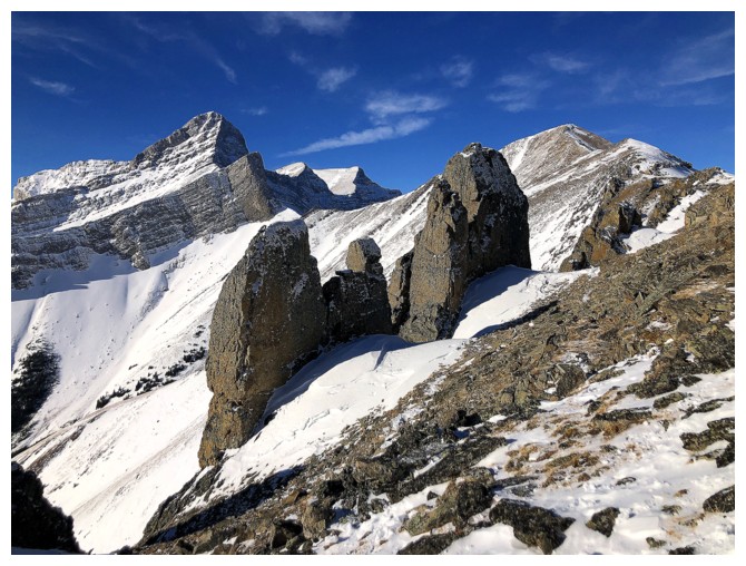
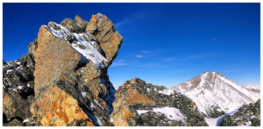
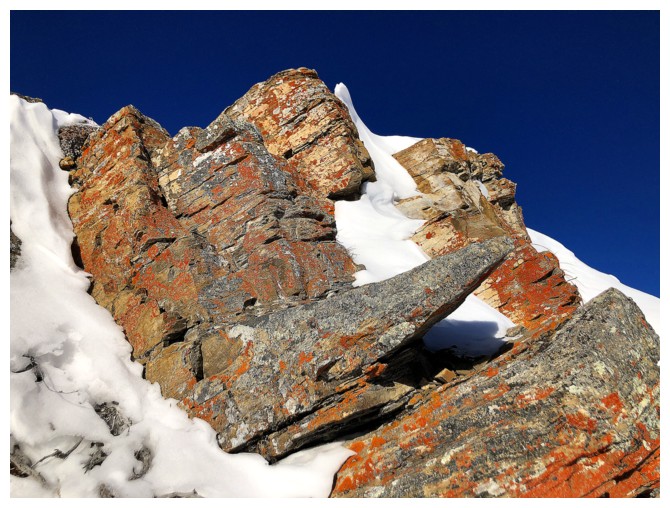
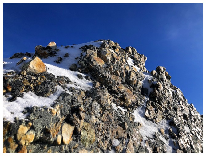
Here we go
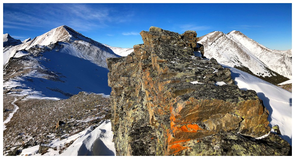
Round 1
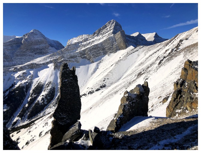
Round 2
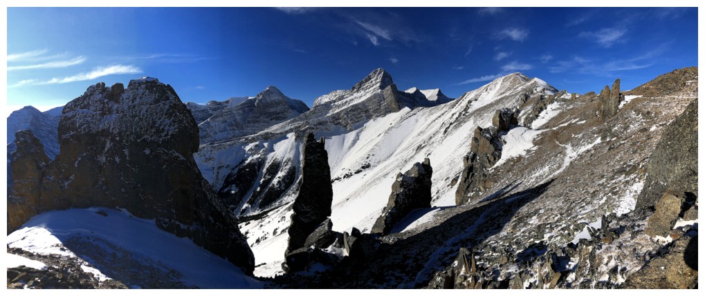
Rounds 1 and 2 combined
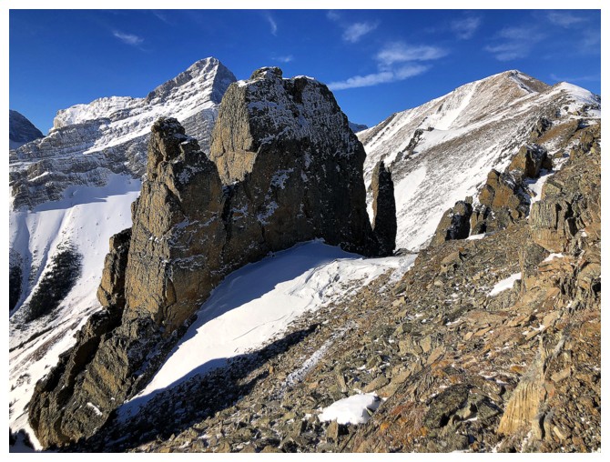
Other cool things
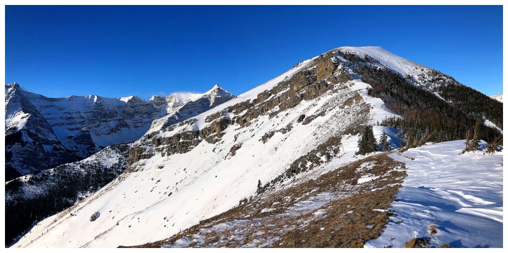
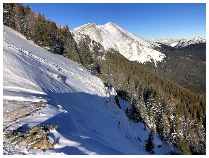
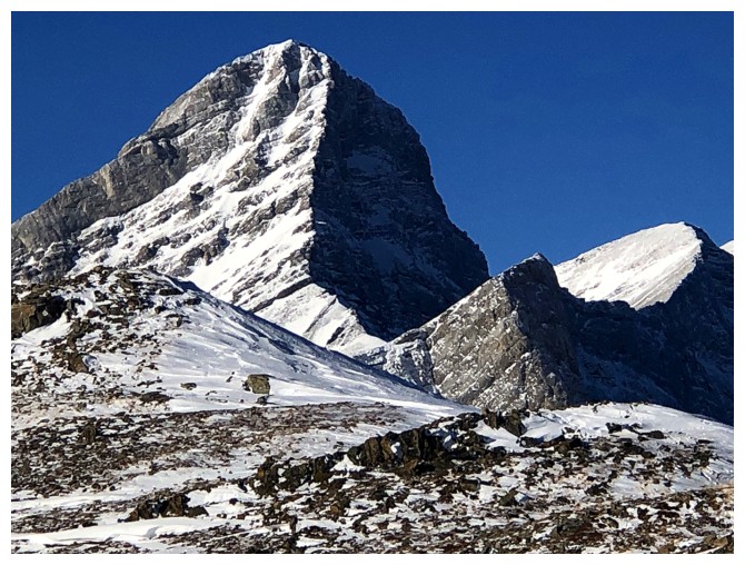
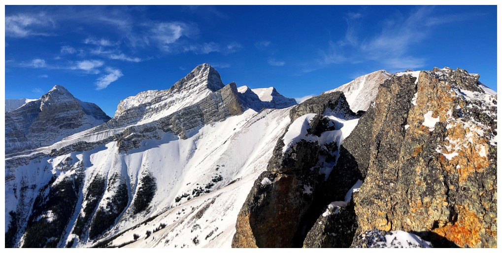
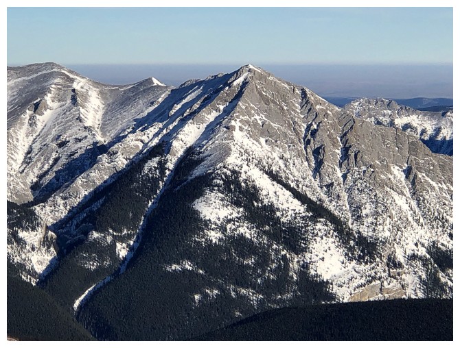
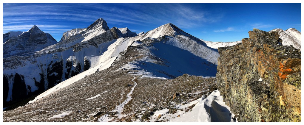
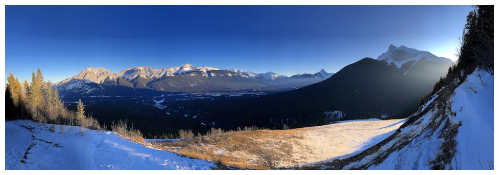
Time to turn around. Although the summit of Allan looks close, it's still a solid hour of hiking away.
And not going allows more time an take endless photos!
The double summit of Skogan Peak and Gilligan Peak at the left
Fisher Peak
Back to focusing on the amazing rock
And the amazing views
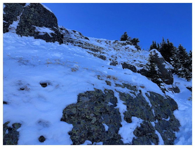
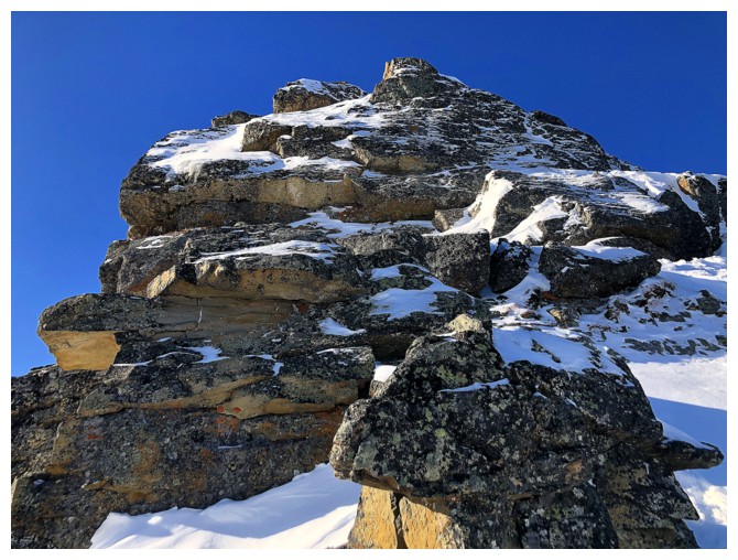
Looking back up the crux. It's steeper than it appears and crampons and an ice axe were needed
Looking back at the crux from afar
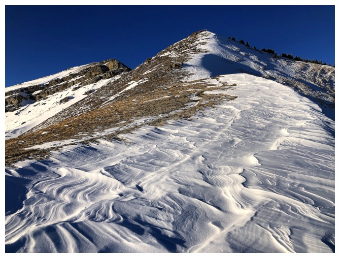
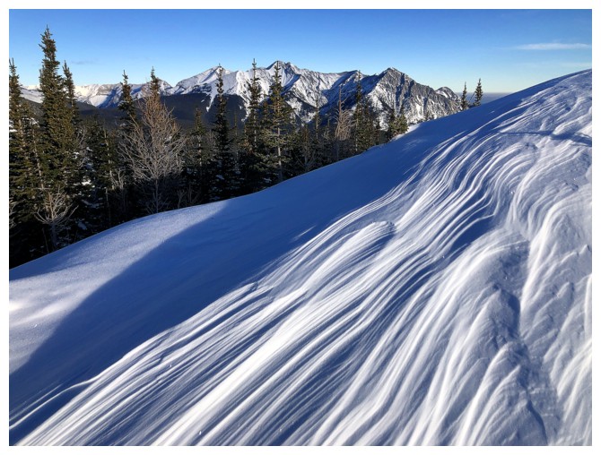
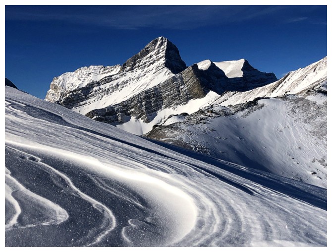
Last of the patterns in the snow
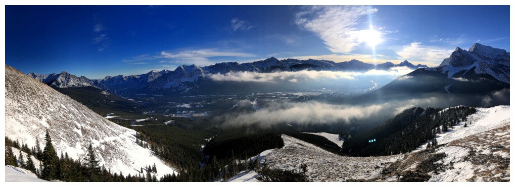
View across the valley
Sun sinking fast
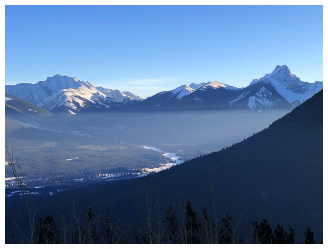
The mist layer is still there
Back at the end of the Coal Mine Trail
The End
LOG