Phantom
Boil
August 18, 2026
Mountain height: 2385
m
Total elevation gain: approximately 1050 m
Ascent time:
4:55
Exploration and
descent time: 5:20
Scrambling with
Mark.
Who on Earth gave
one of the outliers between Phantom Crag and Costigan’s Boil the ambiguous,
confusing, potentially unpleasant, and unofficial name, “Phantom Boil”? Is
“boil” a noun or a verb in this context? Why didn’t Costigan have the boil
removed or was he just boiling something? How can Schrodinger's cat be alive
and dead at the same time? So many confounding and unanswerable questions….
Phantom Boil, a
significant and striking outlier immediately west of Phantom Crag, 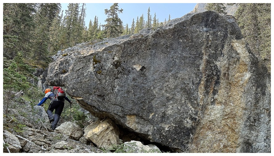 caught our
eyes during a fantastic trip up the latter peak in 2021. An ascent of Boil from
the east was out of the question, however, we were both intrigued by an attempt
from the north or west sides of the peak.
August 18, 2026,
was forecast to be smoky and relatively cloudy. A bigger objective didn’t make
sense and so we set our sights on Phantom Boil. There were several cruxes on
this trip, but the drive in was by far the nastiness. 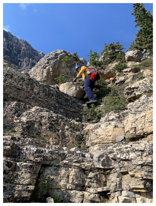 The access road was in
the worst condition I’ve ever experienced, necessitating an extremely slow
driving speed; and once down the Big Hill, trying to follow one of the plethora
of “roads” up the valley, an exercise in frustration. Eventually, we decided to
cut our losses and parked some distance from the start of the objective. In
retrospect, parking at the top of the Hill and then biking the remainder of the
approach would have been a much better option. Thankfully, the events that
followed were a considerable improvement.
The approach to
the objective (Boil or Phantom Crag) alone is worth a trip to the Ghost. Hiking
up the canyons and scrambling up the solid, water-worn rock is a real treat.
Eventually we arrived at the fork in the drainage, left going towards the Crag
and right to the Boil. We obviously took the right fork and what a delightful
route it turned out to be. The amazing rock and scrambling continued all the
way up to the vertical walls on the northeast side of Boil. At no point were we
grovelling up tedious scree and/or rubble. Mark characterized the ascent as a
perfect scramble, 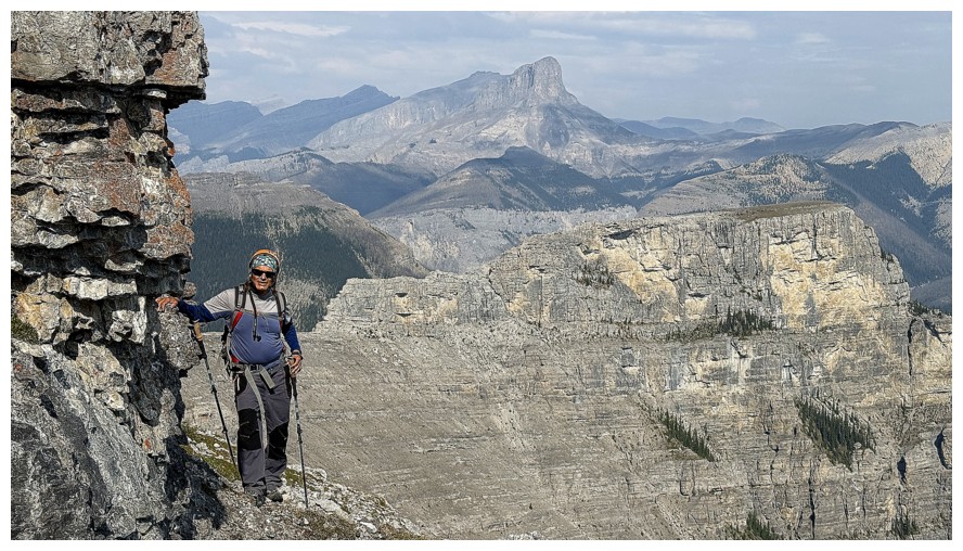 and it was exactly that.
The plan, at
this point, was to follow a ledge at the base of the rock walls, looking for a
weakness through them. That traverse turned out to be far longer than expected, as no weaknesses were found.
Rounding a corner on the north end of the objective, we expected to see an easy
scree slope leading to the summit. Instead, the vertical walls continued to
rear up above us all the way to the west side of the mountain. Another long
round of ledge walking was required.
About halfway
along the ledge, we spotted a potential short cut up a dark, narrow gully. I
scrambled up the gully but decided it would be prudent to throw a rope down and
belay Mark up. We had carried a rope, harnesses, and some slings all this way –
why not put them to use. Above the step, several others vertical walls of rock appeared
to impede progress, but we were able to find a scramble route up all of them. And then onto the summit, a steep hike away.
We were both
very happy to arrive at the top of this probably infrequently summited
peak. A small cairn attested to the fact we were not the first. 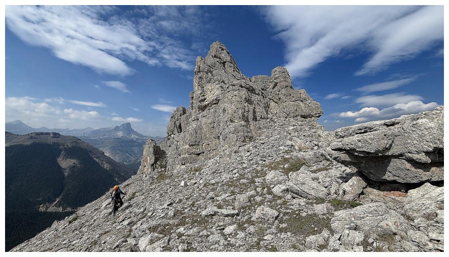 The summit
views were unfortunately marred by smoke, but were satisfying, nonetheless. The
route further west towards Costigan’s Boil looked fierce, scary, and entirely uninviting.
Hats off to the few who have made that summit.
For descent, we
decided to avoid the trickiest terrain by hiking down to the col to the west
and then sidesloping back to the ledge. Once back at the corner another
decision had to be made. A very interesting outlier of Boil sits to the north
and would be an easy ascent from this point. Given that a return to this area
was unlikely, it was now or never for the outlier.
The diversion
took about an hour, not because it was difficult or long by any stretch, but
simply because of the awesome views down the vertical east side, and other
impressive sights. Once back to the col we retraced our steps across the long
ledge then made our way down to the Phantom Crag descent route. We thought that
route would be a little faster than the Boil ascent gully and it was. No issues
with the remainder of the descent. Only the longish walk back to the vehicle
was a little tiresome.
A totally
awesome day on an obscure but thoroughly entertaining mountain.
Epilogue: after looking on
Bivouac I found out the day's objective is more commonly known as CC90. (But I’m
stubbornly sticking with the far more contentious “Phantom Boil”!)
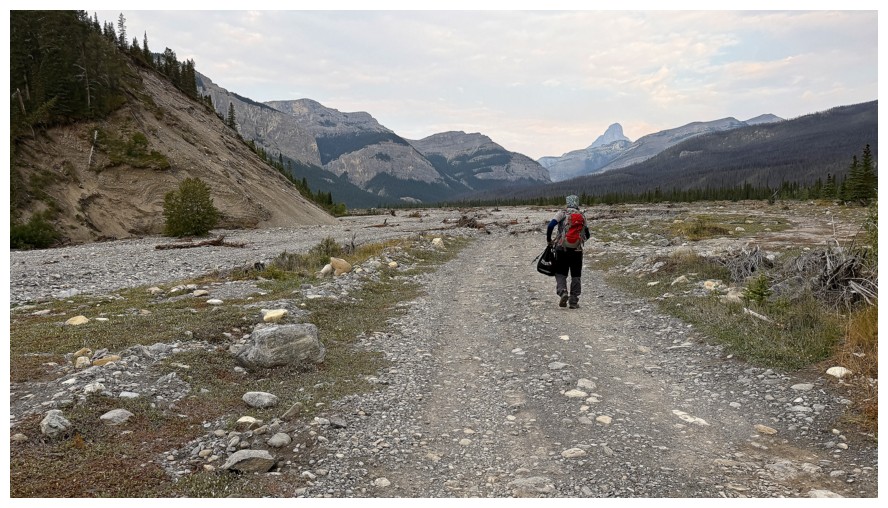
Walking part of the road we could have easily driven
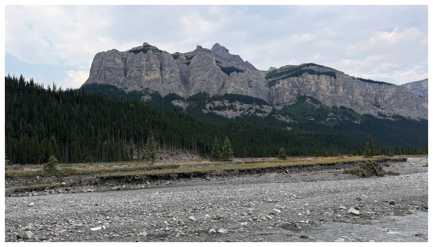
Phantom Crag
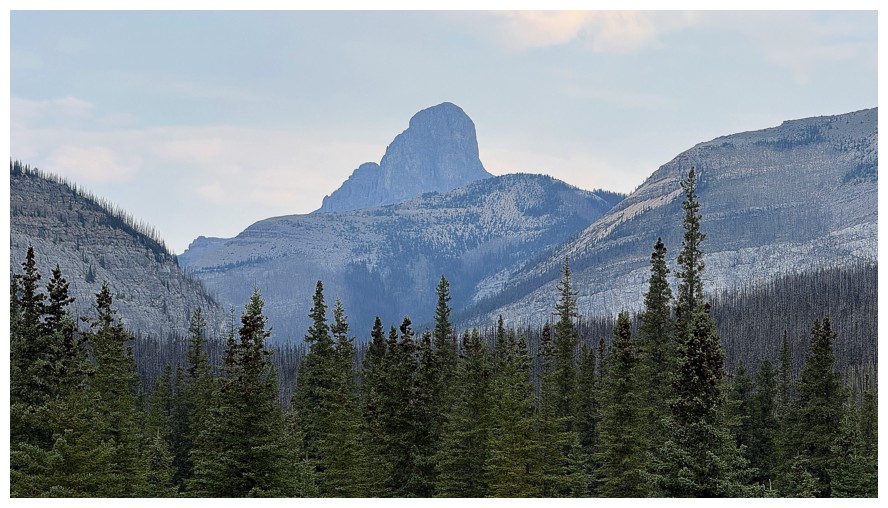
Devil's Head
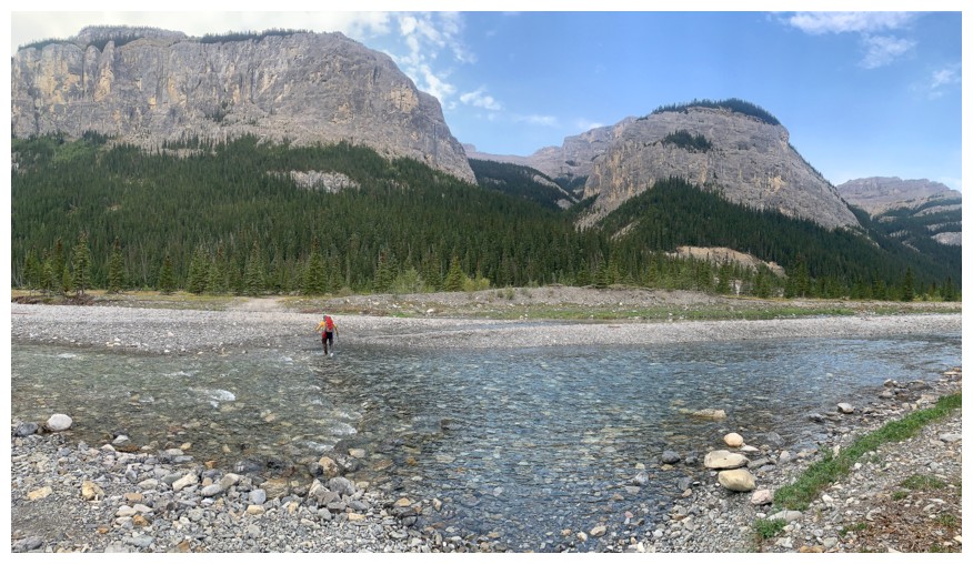
Easy crossing of the Ghost River
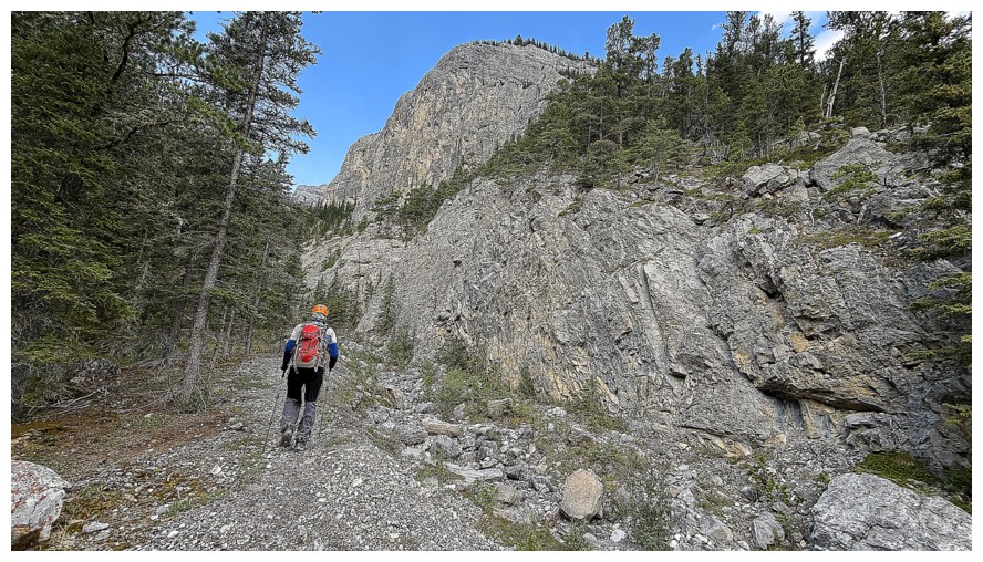
Hiking up the incredible canyon
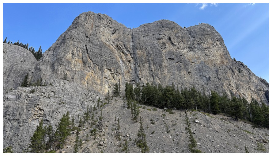
The amazing walls of rock on the left side of the canyon
Emerging from the neat trail in the forest that grants access to the main ascent drainage
The forest behind Mark
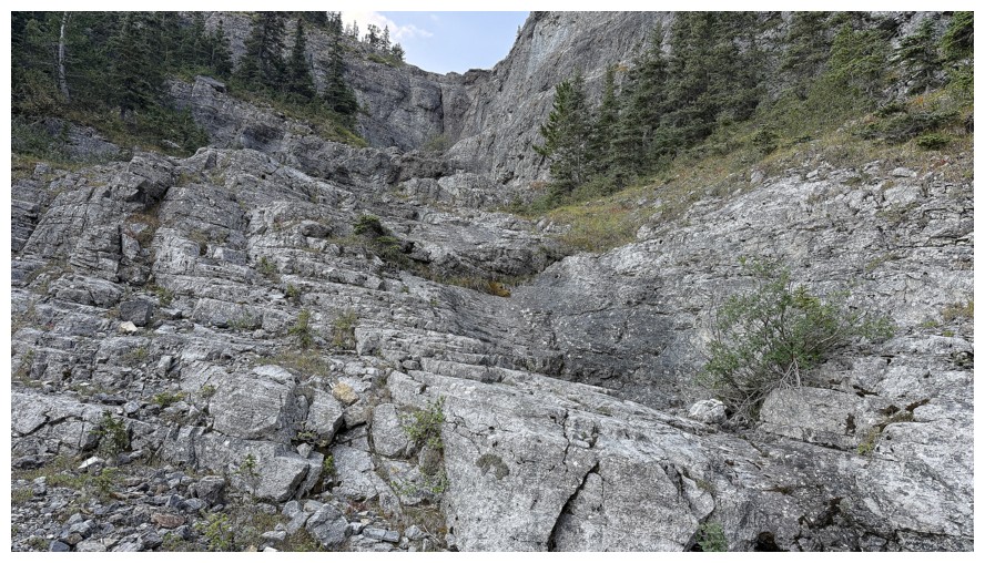
The main drainage - solid, water-worn rock that is a joy to ascend
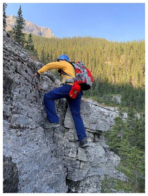
A little scrambling early on
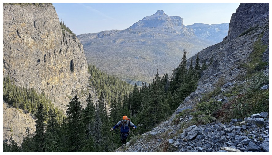
Black Rock Mountain in the background
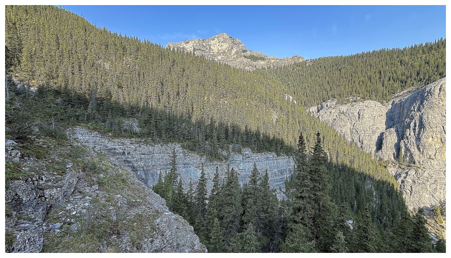
Looking over to the outlier that we would ascend after Phantom Boil
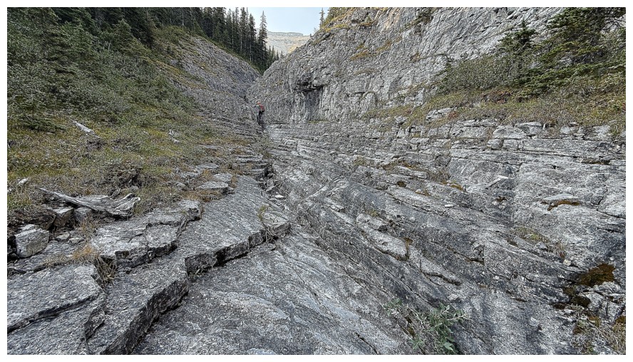
Continuing up the drainage. Without any water in it, we were able to stay in the middle throughout
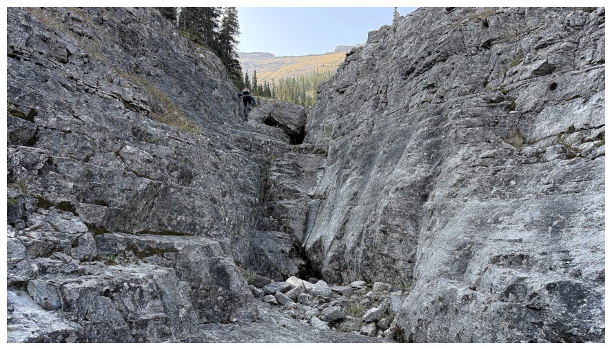
Mark atop a step of fun scrambling
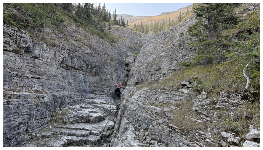
He tackles the next one
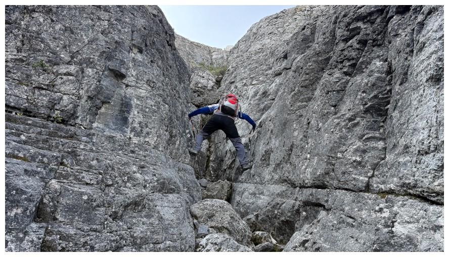
Fun stemming
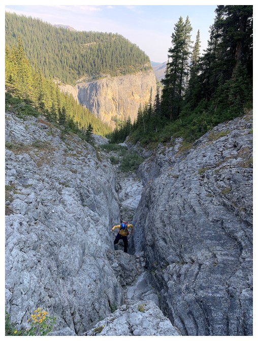
My turn
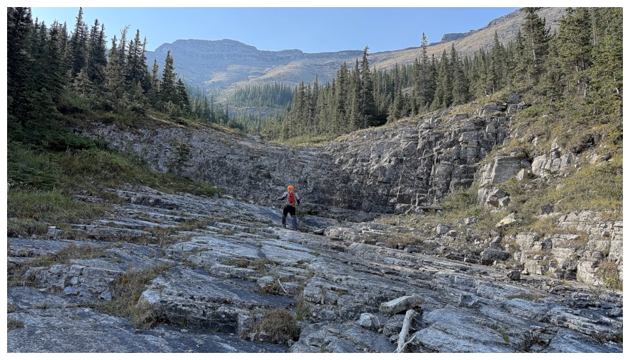
Peaks start to appear; Phantom Crag near the left
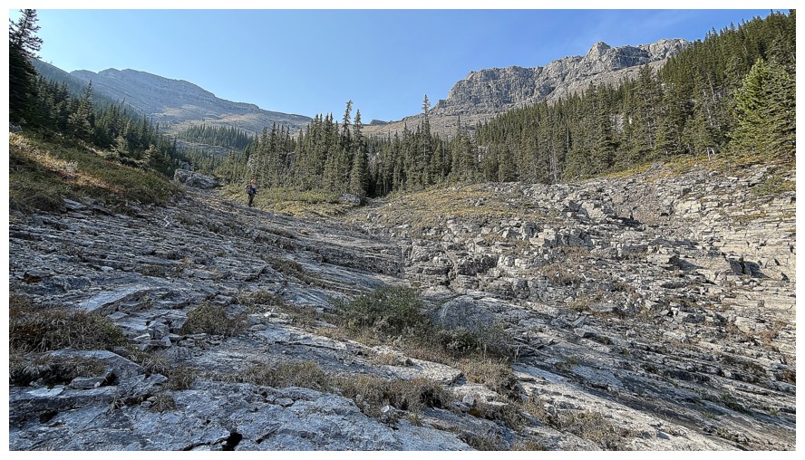 Approaching the fork in the drainage
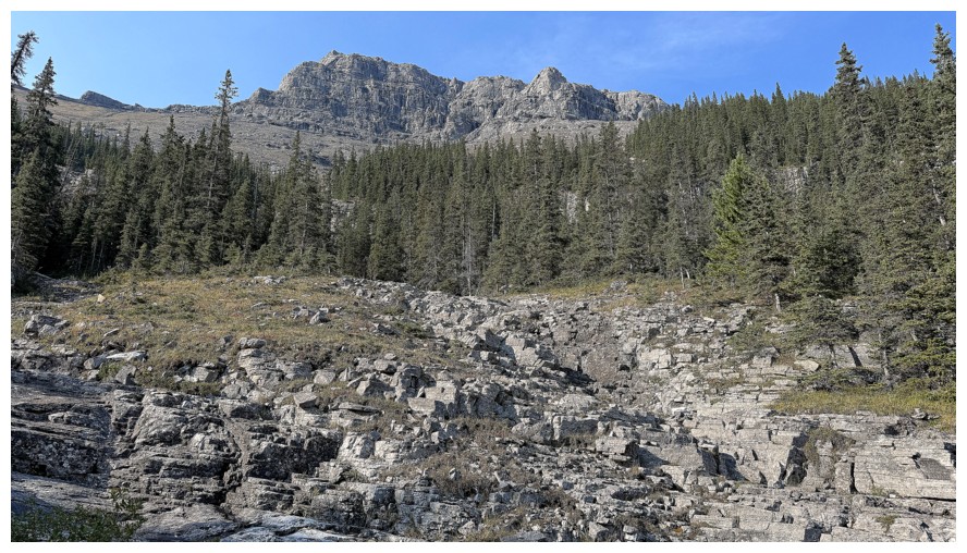
The right fork and Phantom Boil
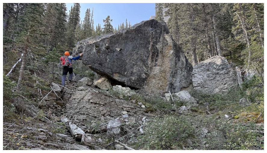
Lots of interesting features in the new drainage
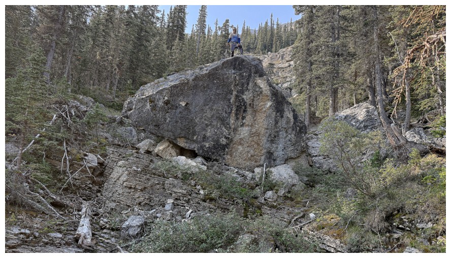
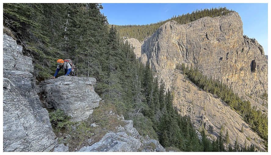
Mark atop the massive boulder
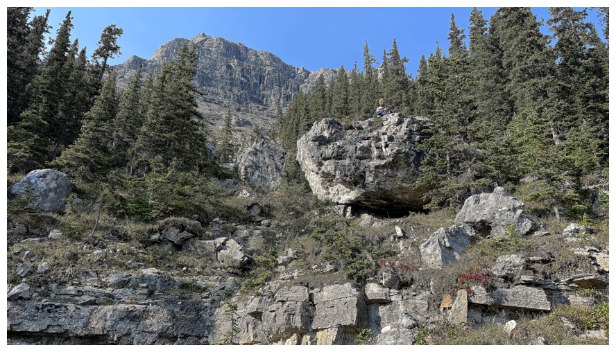
Now atop another one
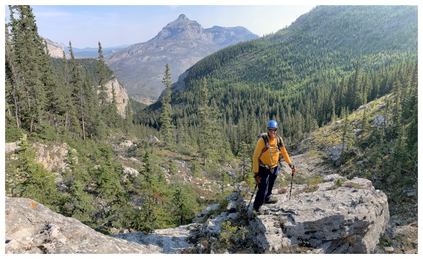
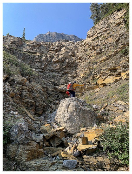
The super enjoyable scrambling continues
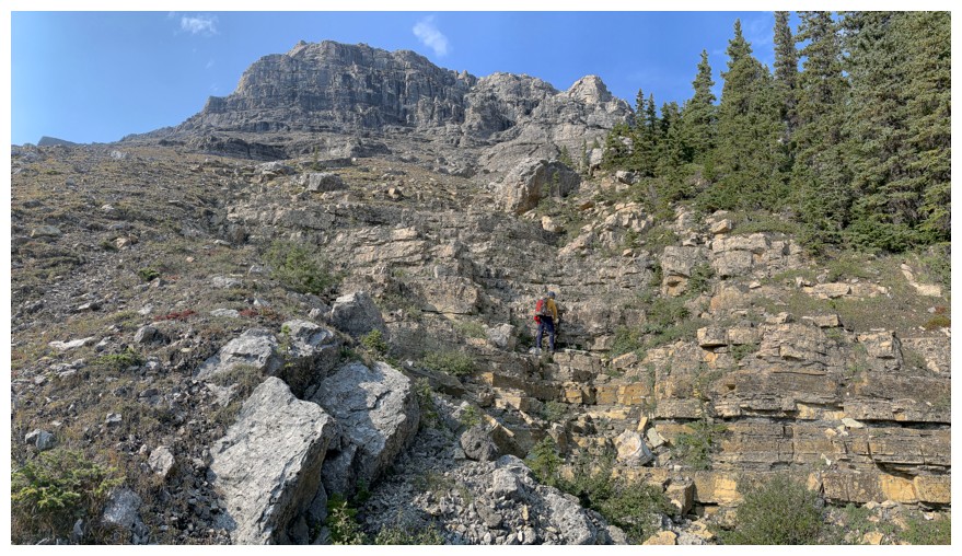
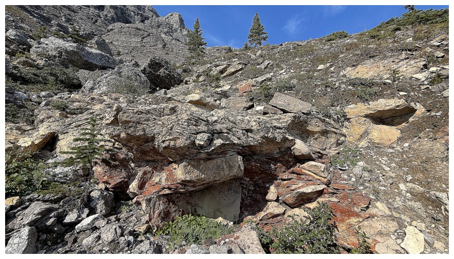
This splash of orange lichen deserved some attention
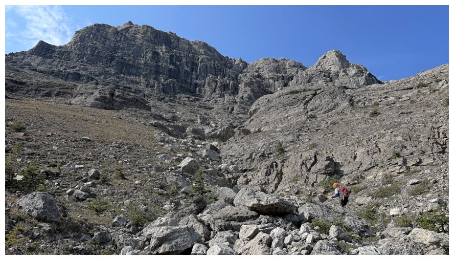
Getting close to the northeast side of the objective
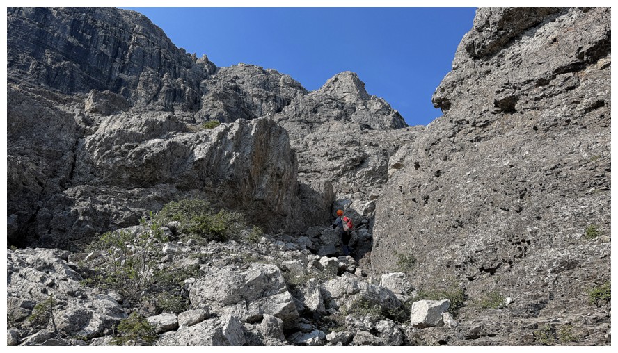
Still scrambling up delightful rock
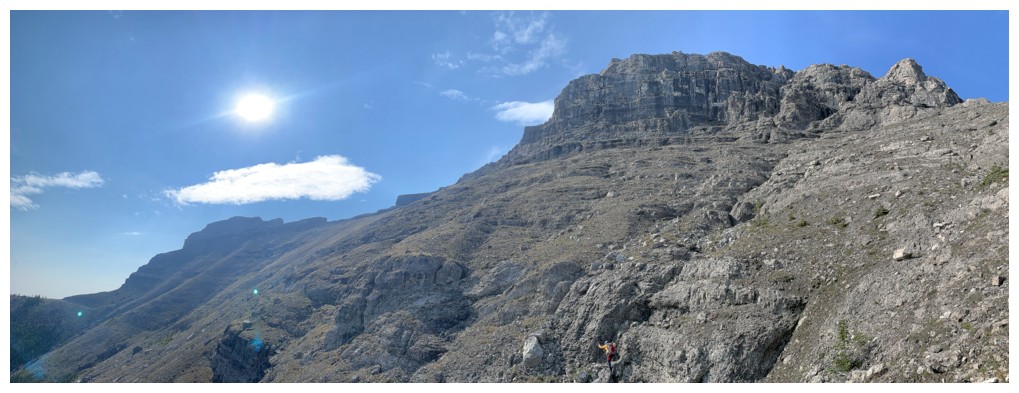
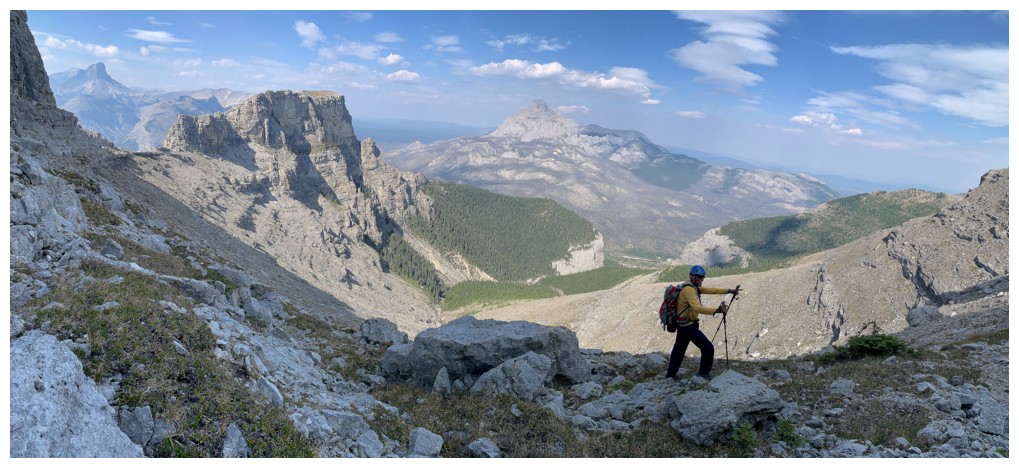
I look so tiny near the bottom but it's a pano that also makes the Crag
and Boil seem really far apart. In fact, their summits are only
separated by about 1 km.
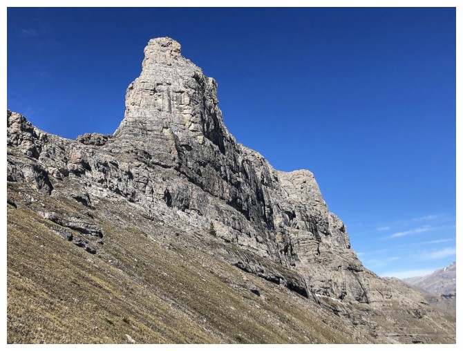
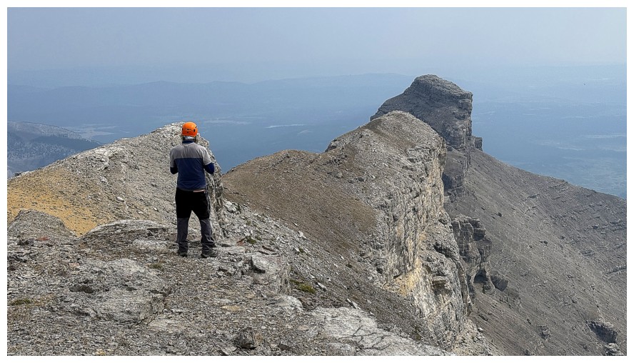
Phantom Boil, as seen from the northeast side on a much nicer weather
day. Also, it shows why a direct line up the east side is NOT a
scramble.
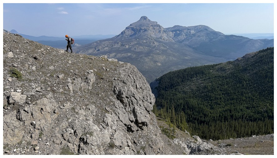
Another view of Black Rock Mountain. Having taken 4 different routes up the peak, I'd rate this one as our favourite.
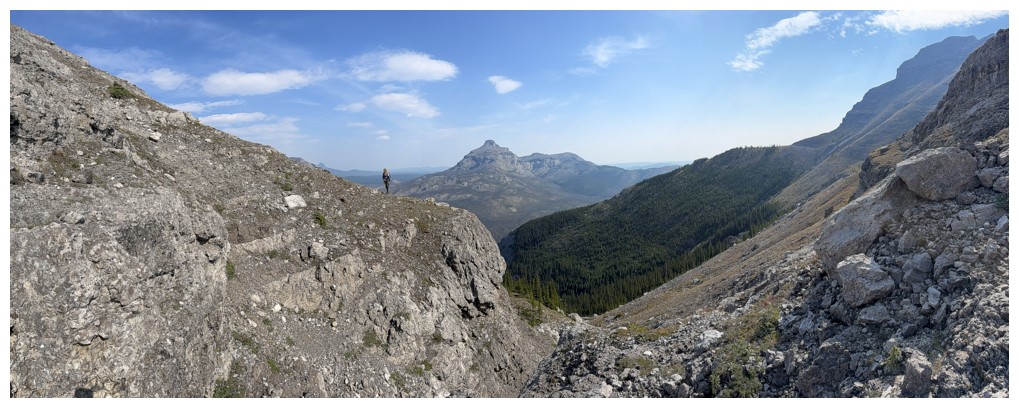
Same as above, plus more
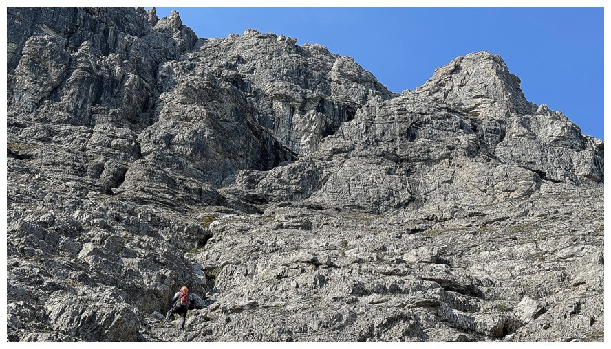
Last bit of scrambling before we reach the rock wall
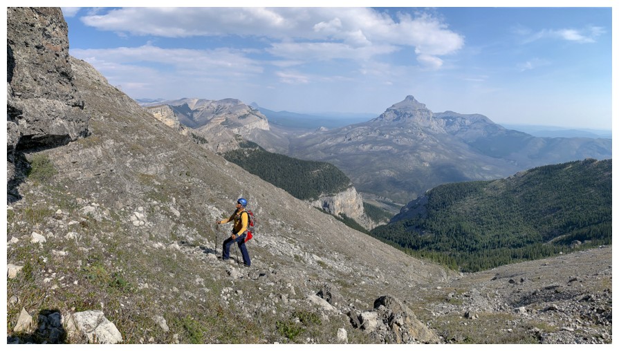
Finally at the base
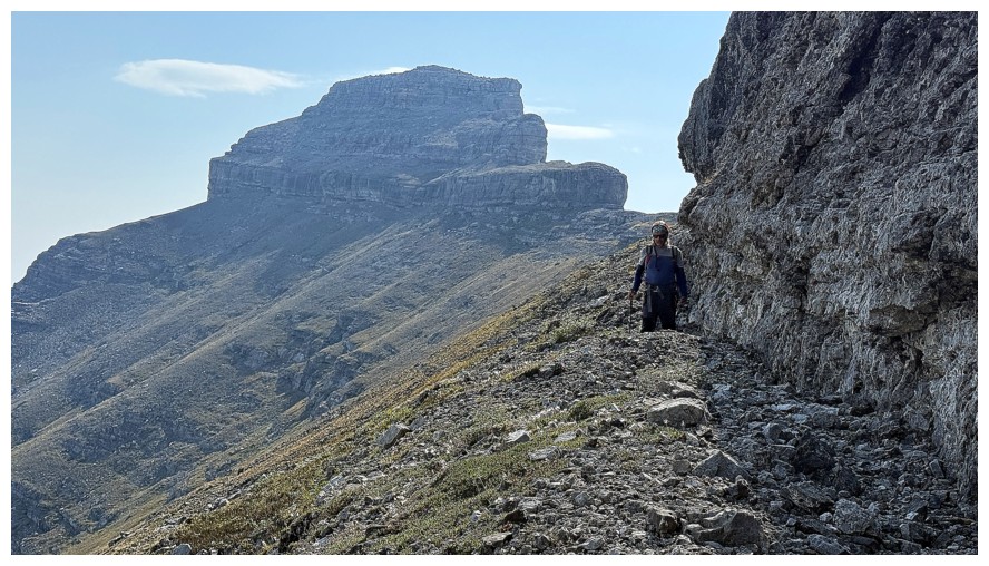
Better view of the proximity of Phantom Crag
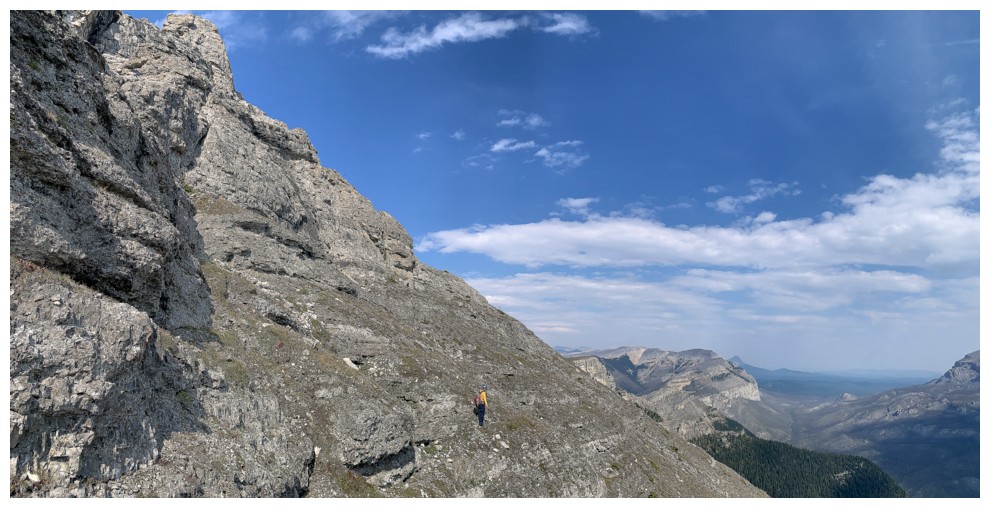
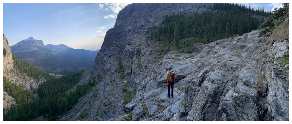
The long traverse starts. There were definitely a few sections were you wouldn't want to slip.
Mark poses before turning a corner
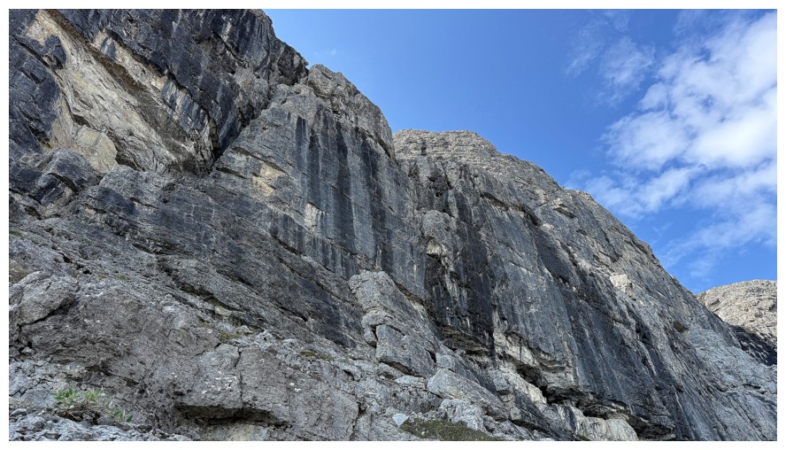
No weaknesses here
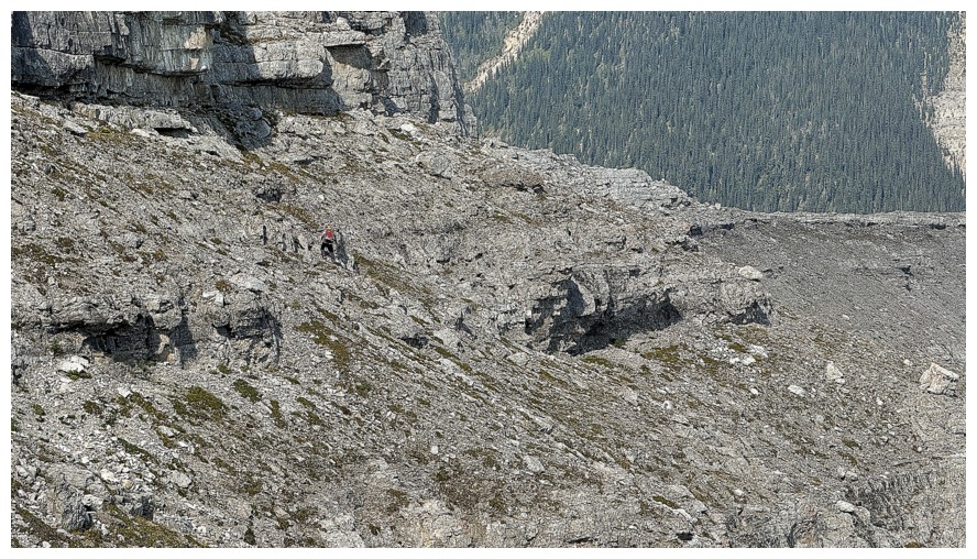
Still traversing (zoomed in)
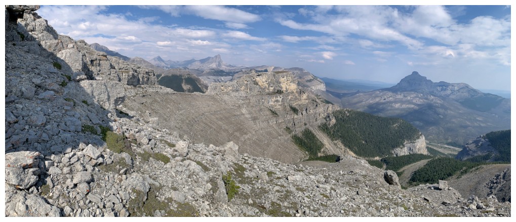
Not zoomed in. We still have a long way to go.
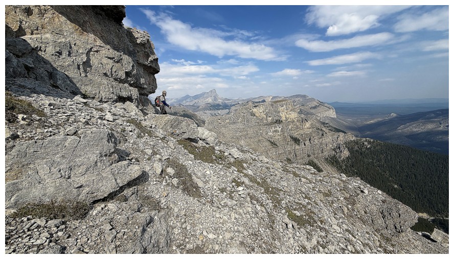
Another corner
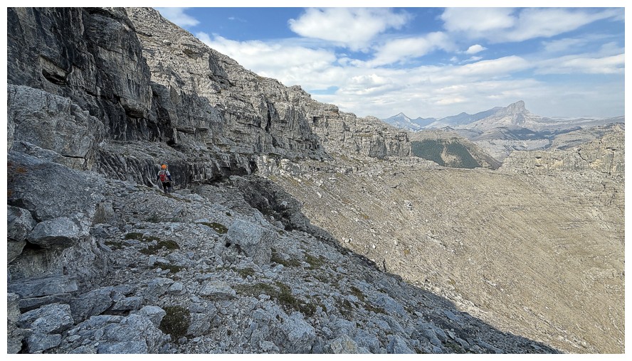
And another stretch of traversing
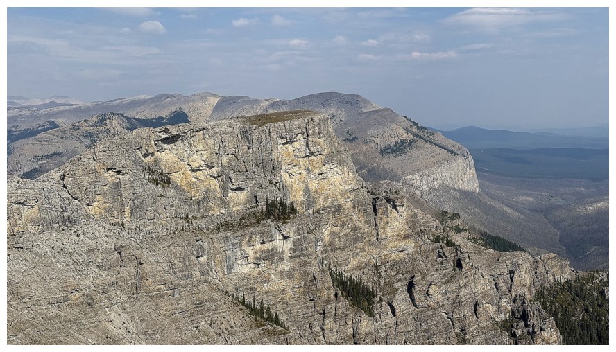
The outlier to the north of Boil was a source of interest as soon as we saw it, but an ascent looked to be beyond scrambling
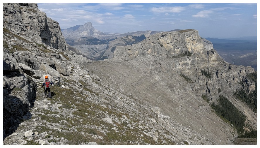
The end of the traverse is now in sight
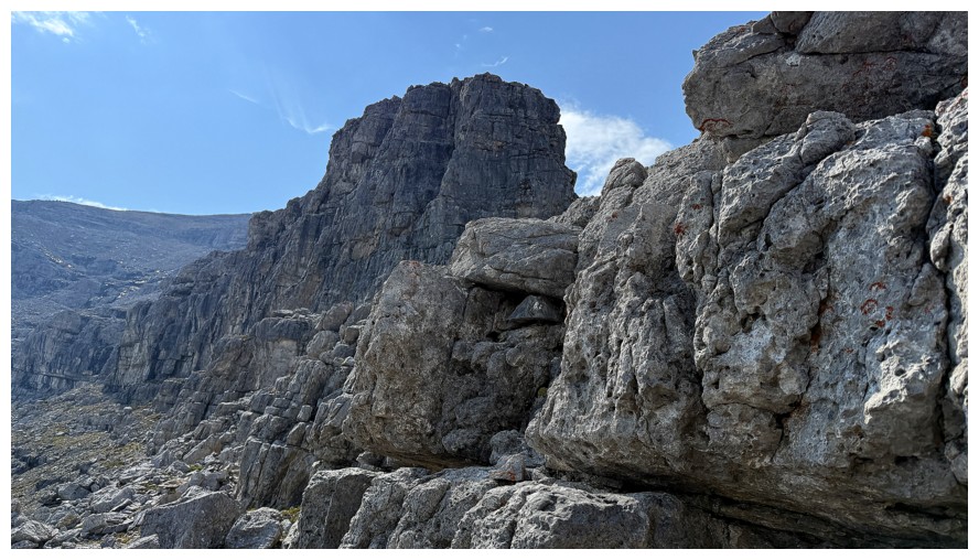
After turning this corner we expected an easy scree path to the summit, but encountered this instead
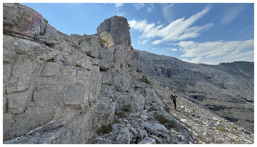
Looks like we will be traversing some more
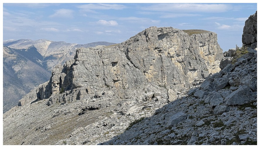
The outlier and very steep south ridge
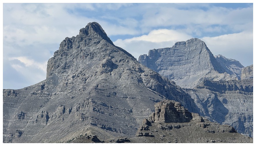
Costigan's Boil (left) and Mount Costigan
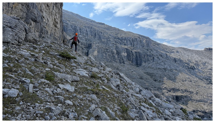
Starting the second round of traversing below a vertical rock wall
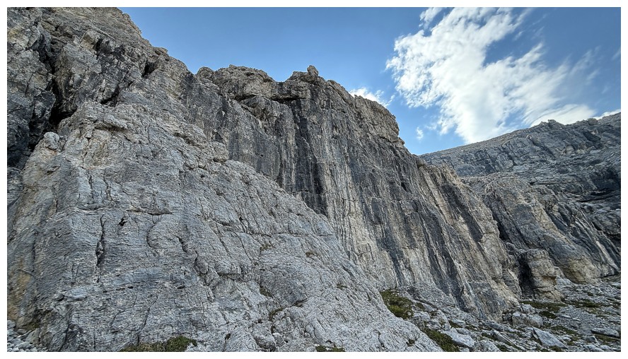
The vertical wall
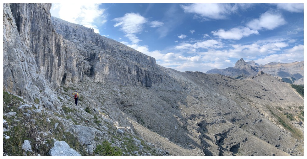
Looks like we will have to traverse all the way to the west ridge, in the centre
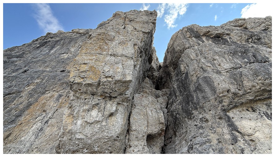
More cool rock above us
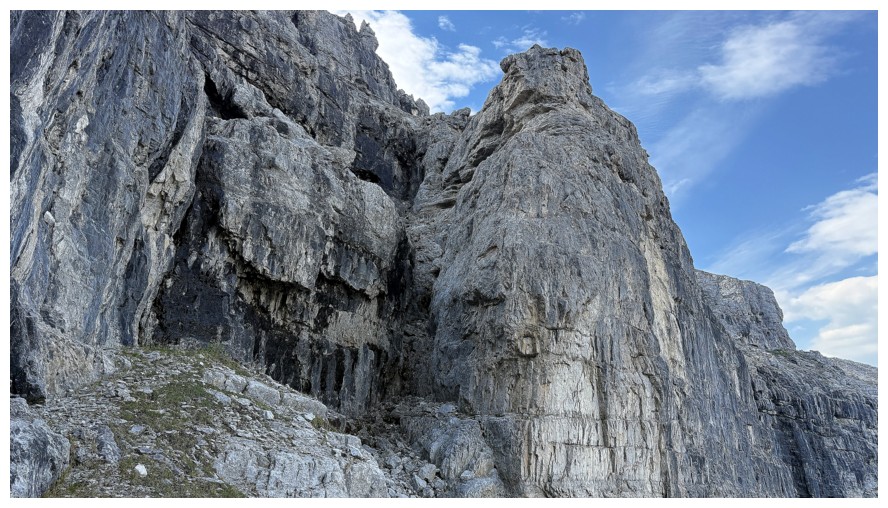
This looks interesting
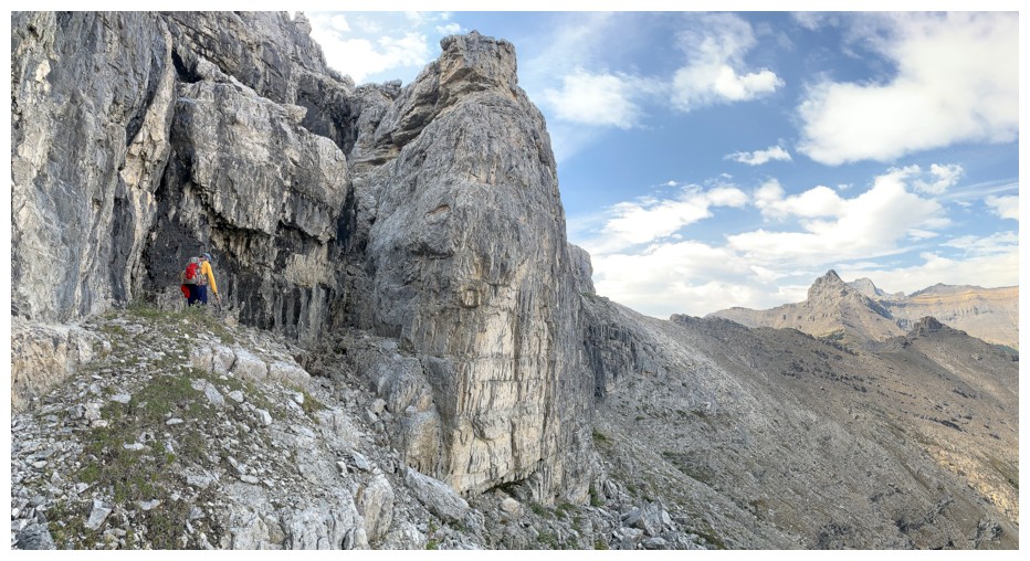
Hiking to the base of a weakness through the rock wall
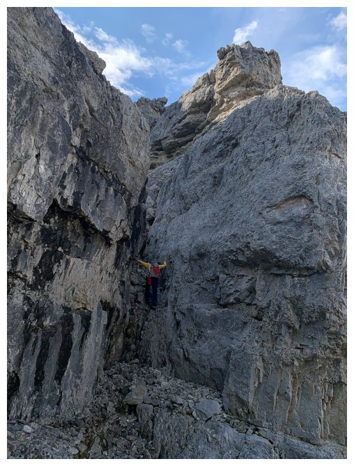
Scrambling up it
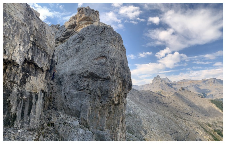
Only my right arm is now visible
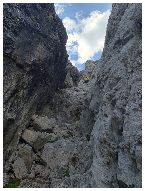
At the top of the step. Since we had climbing gear, we decided to use it here.
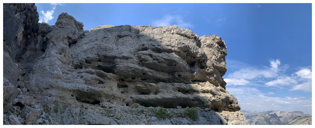
Fascinating rock above the climbing step
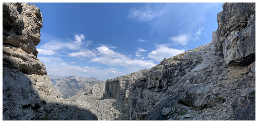
View in the other direction
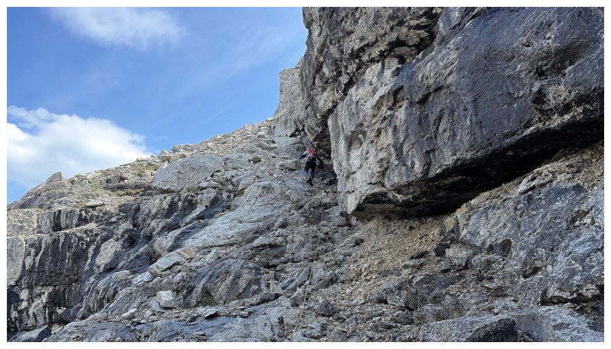
Mark scrambles up the next section. The rope was not needed and we packed it up shortly after.
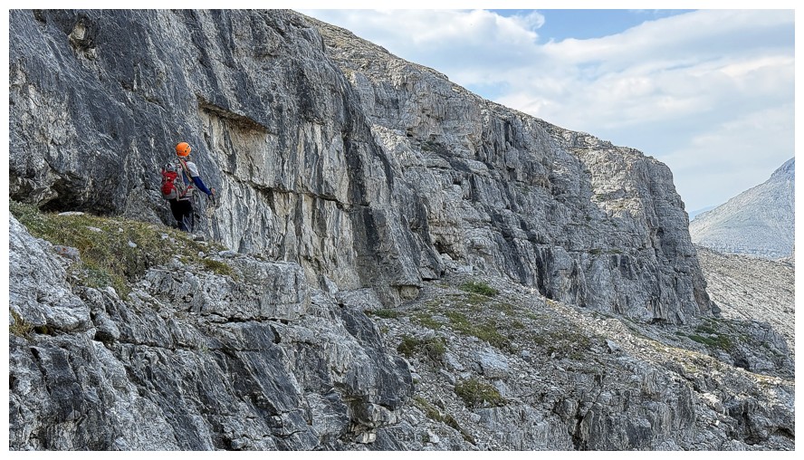
Yet another wall above us is encountered
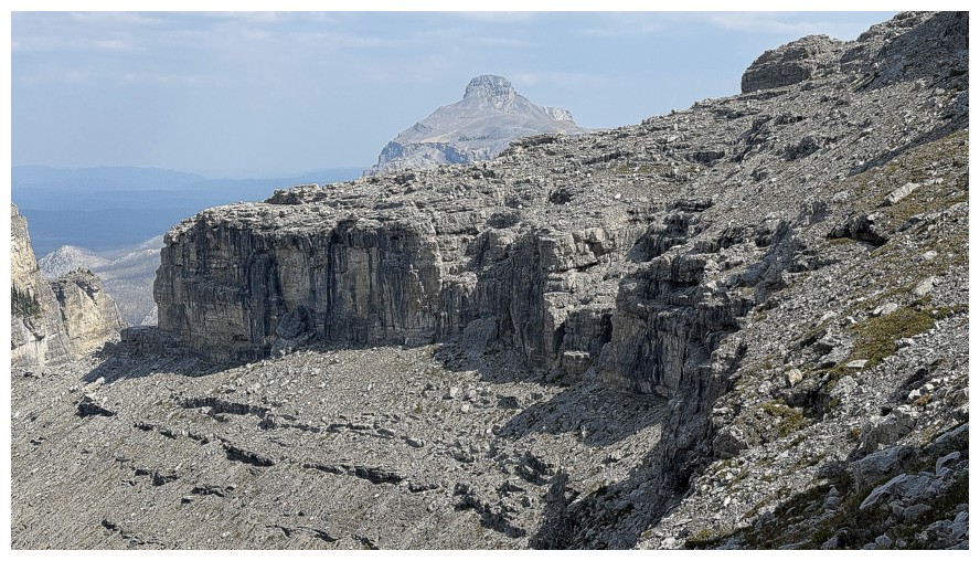
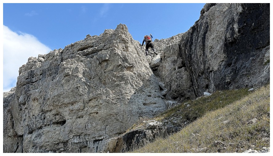
Mark leads us up the final scrambling section
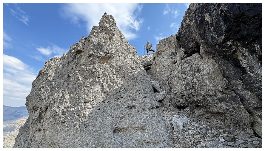
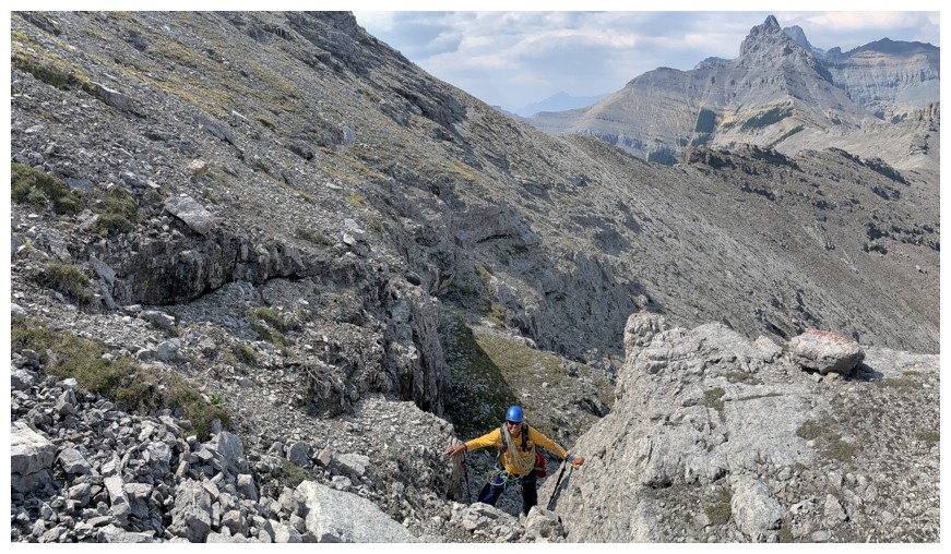
My turn
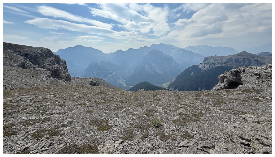
The view to the south from the west ridge
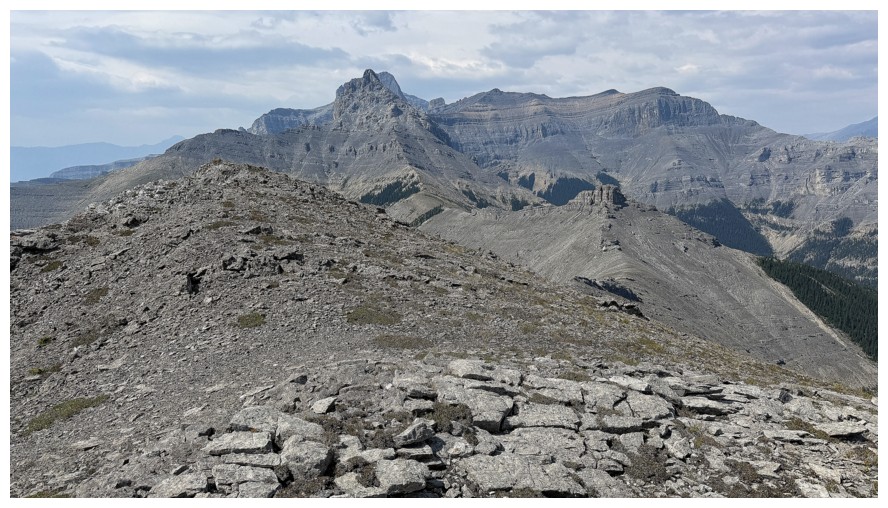
View to the west
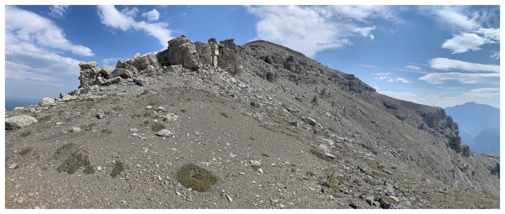
Our route up from here is straightforward, with one interesting section of rock to go through
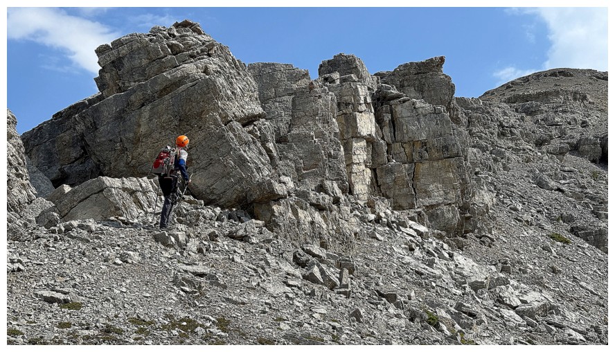
The interesting rock
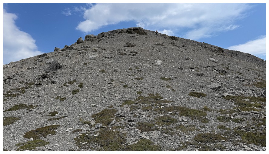
Just a plod to the summit now
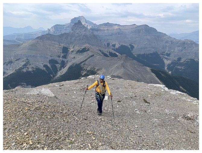
Plodding
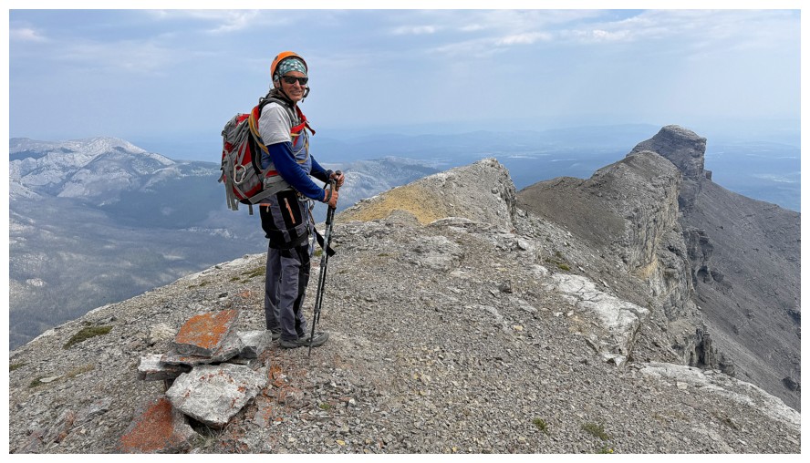
Mark and the massive summit cairn! Phantom Crag at the right.
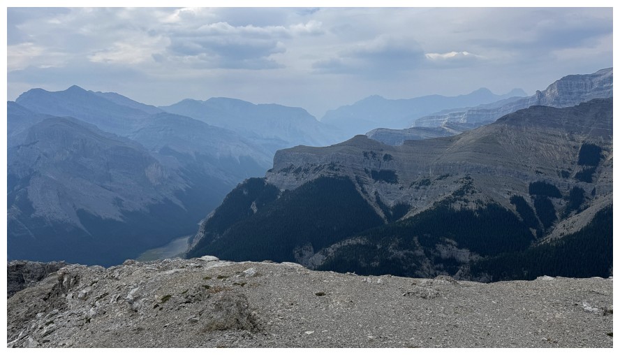
Smoky view to the west
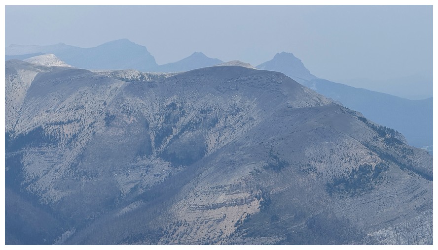
Smoky view of Ghost Peak to the north
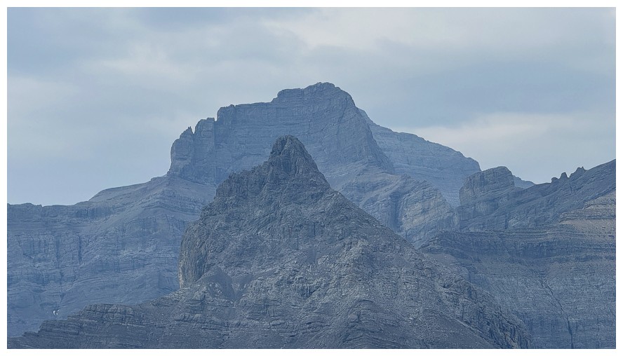
Costigan's Boil and Costigan
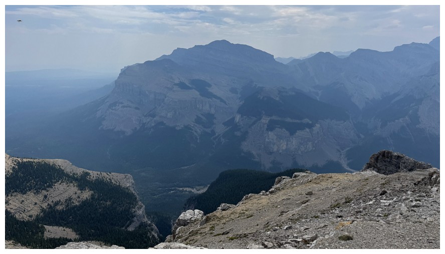
Orient Point
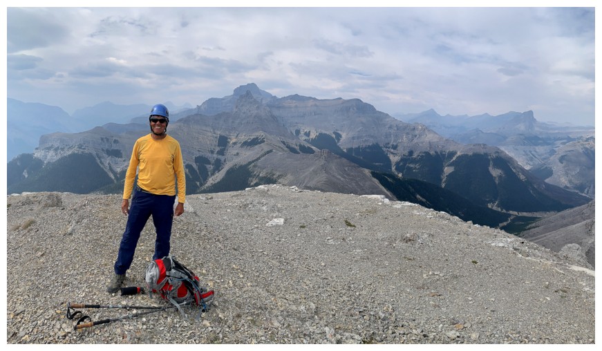
More summit photos
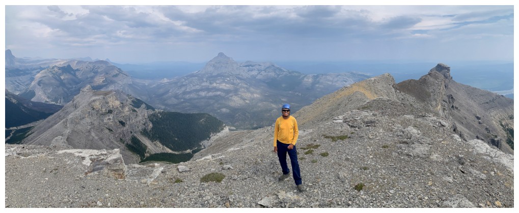
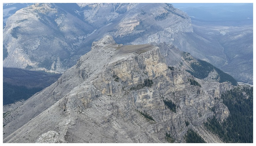
Looking down on the outlier
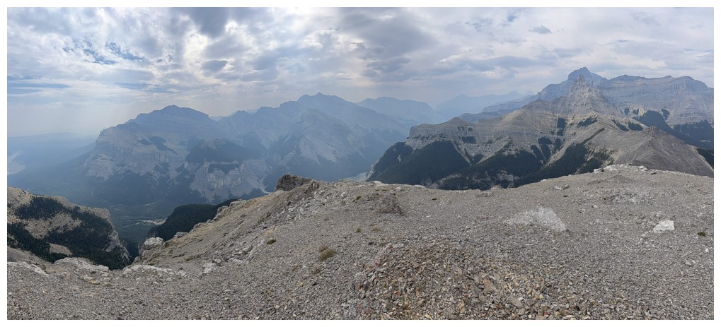
Second last of the smoky, cloudy summit views
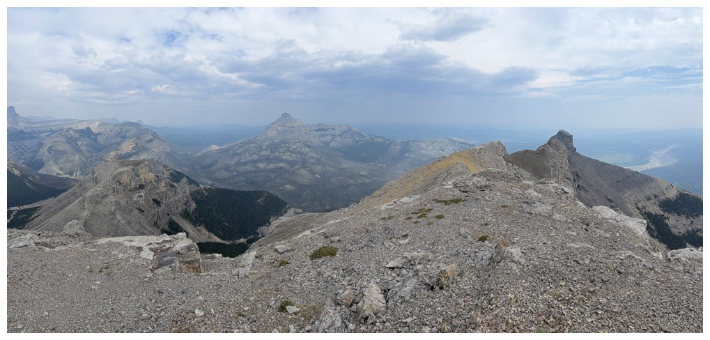
Last one
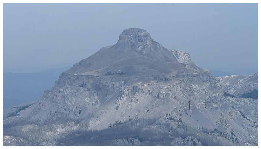
Close-up of Black Rock's summit
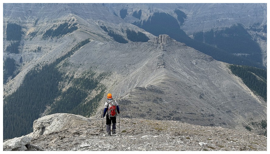
Starting the descent
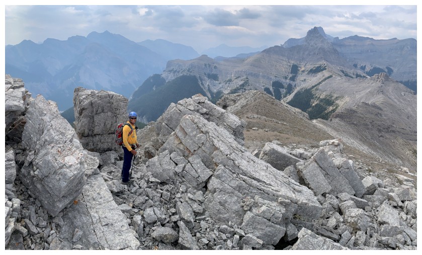
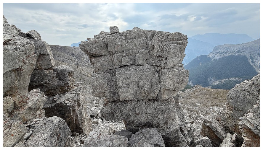
Back through the cool rock
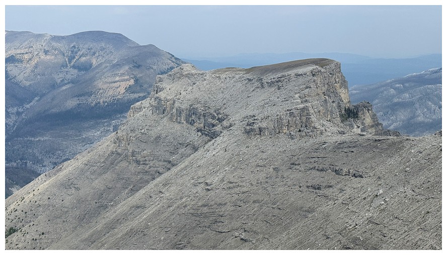
Suddenly a very obvious and very easy route up the outlier is revealed
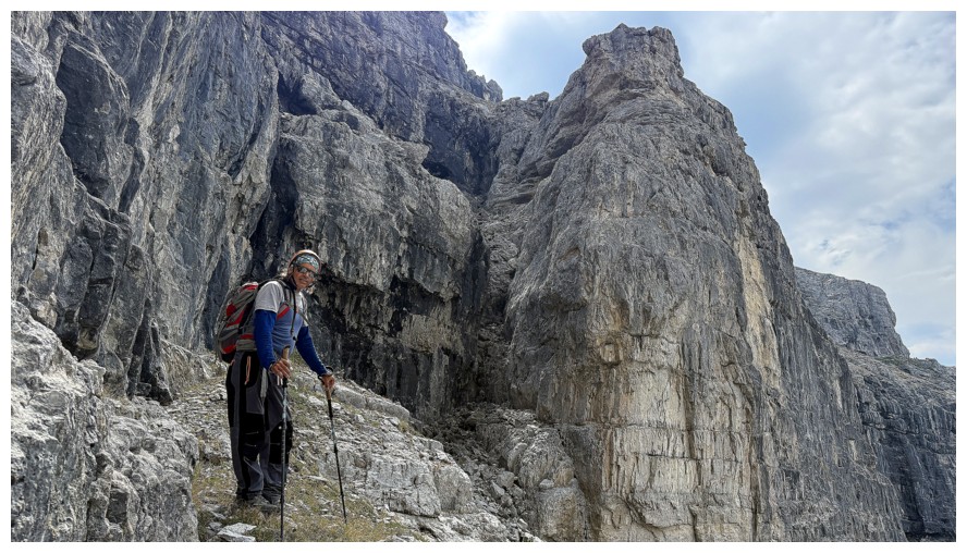
Passing the climbing route we used on ascent
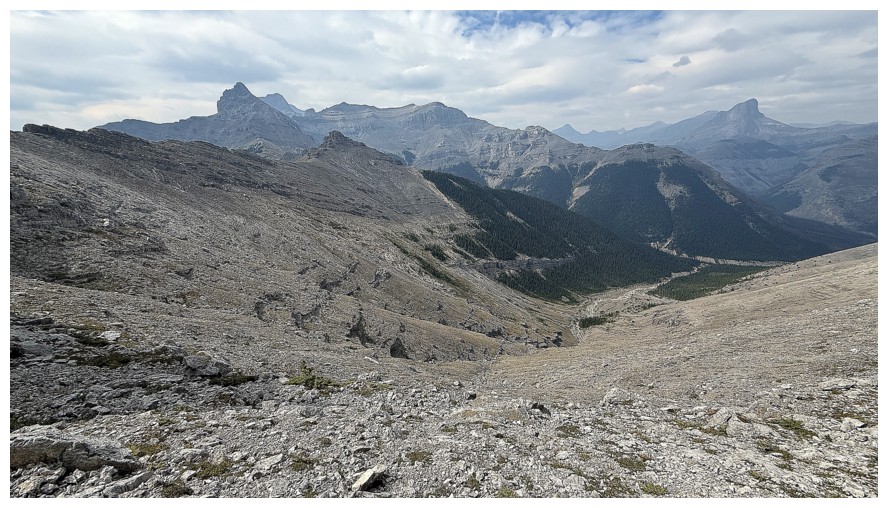
Taking an alternate descent route down this way was tempting for a few seconds, but too many unknowns
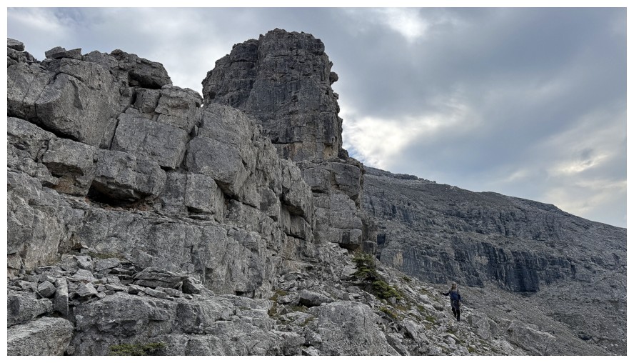
Back at the corner where we thought there would be an easy scree slope
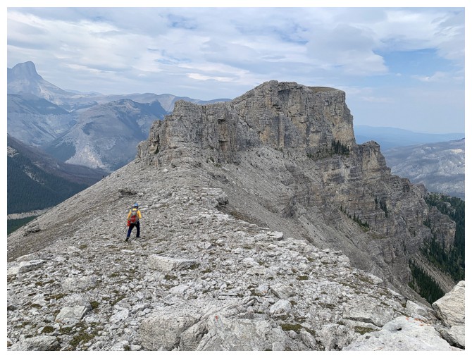
Heading for the outlier
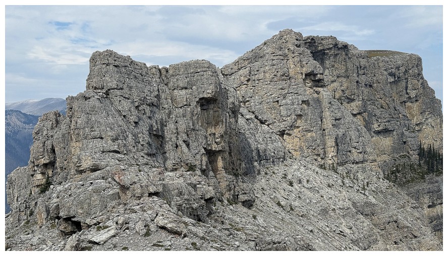
The steep south and east sides
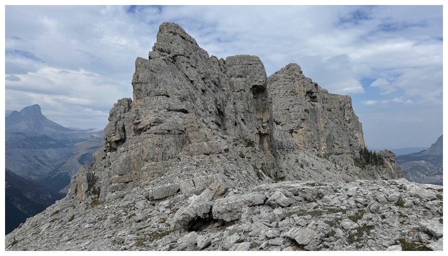
The south ridge was tempting (also only for a few seconds)
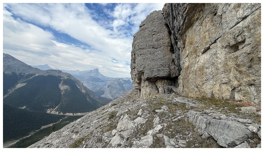
Hiking around the much easier west side
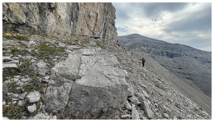
Same as above with Boil in the background
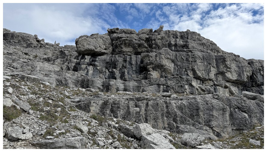
The rock band peters out to reveal an easy route up at the left
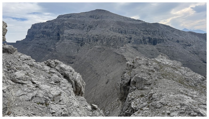
Boil and most of the route we took up
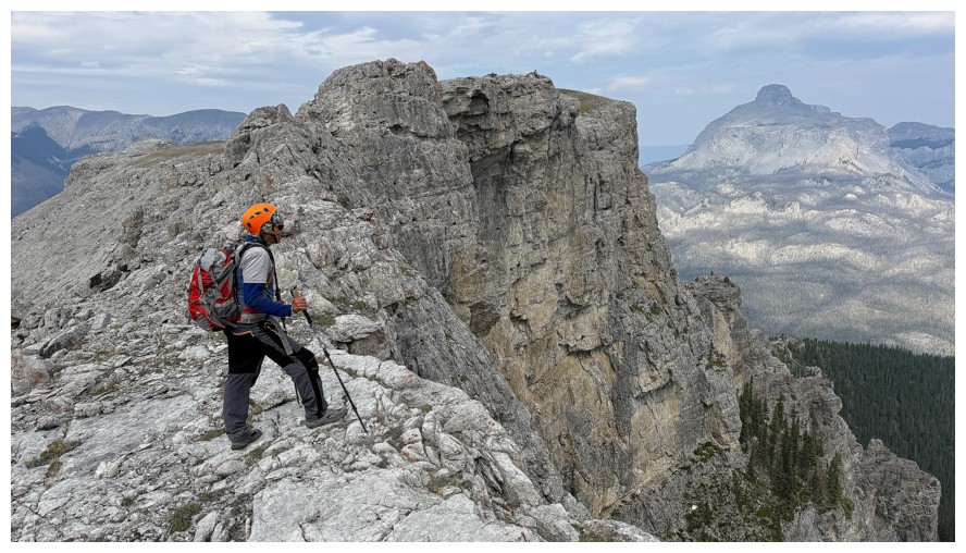
On the ridge
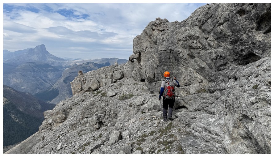
A little bobbing and weaving is required
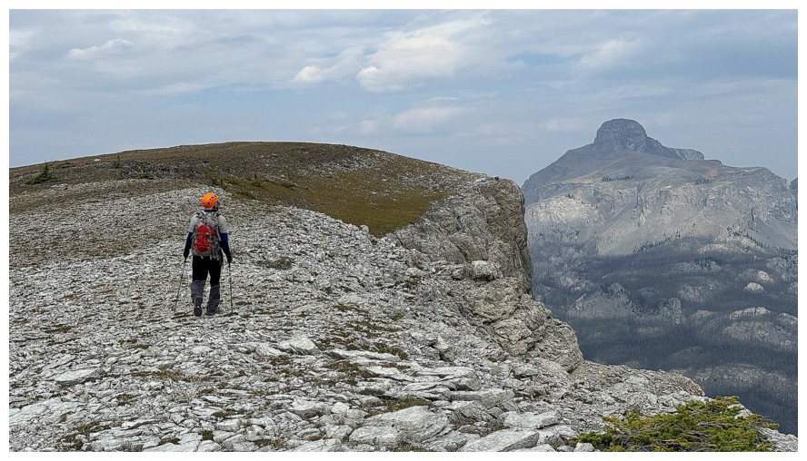
Easy terrain to the highpoint
Round 2 of summit photos
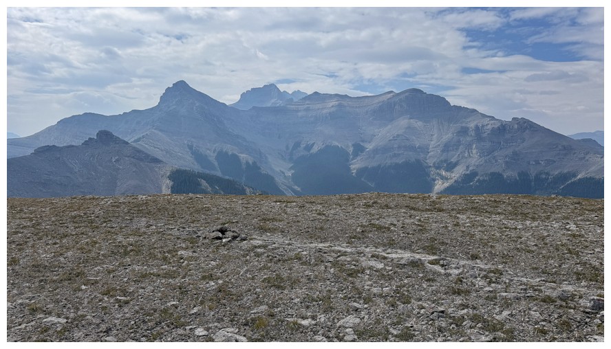
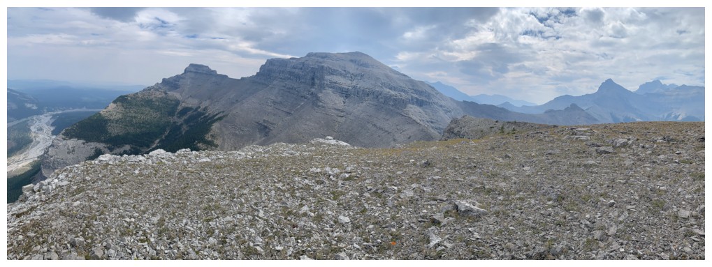
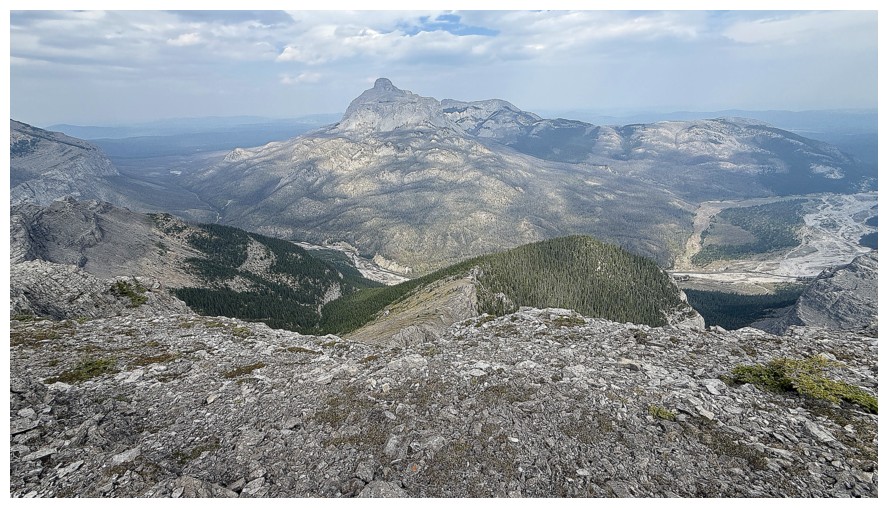
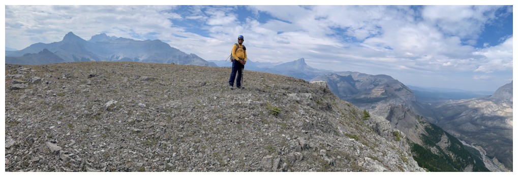
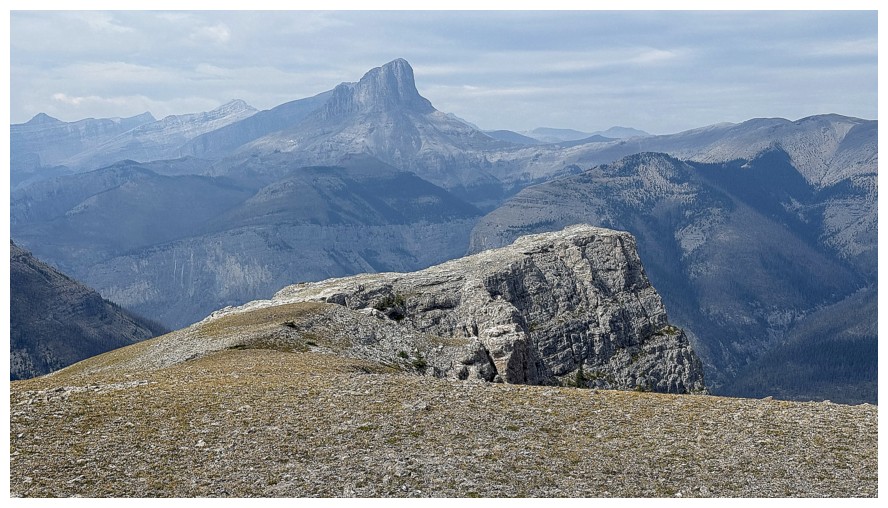
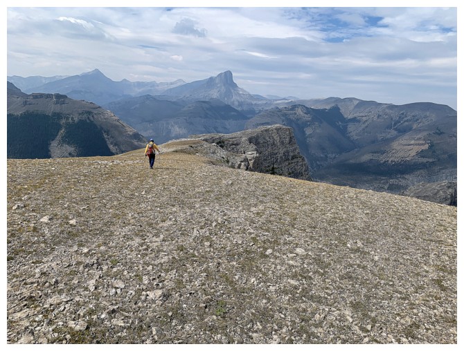
Heading further north to the end of the ridge
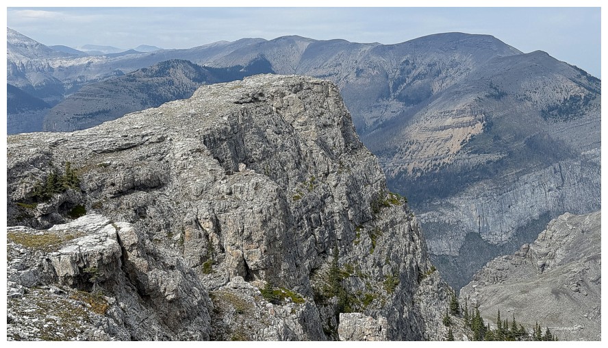
The end of the ridge
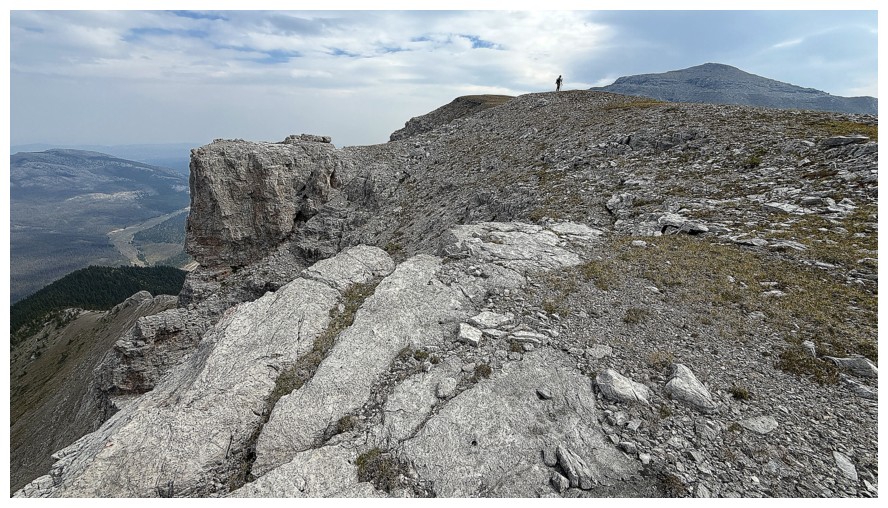
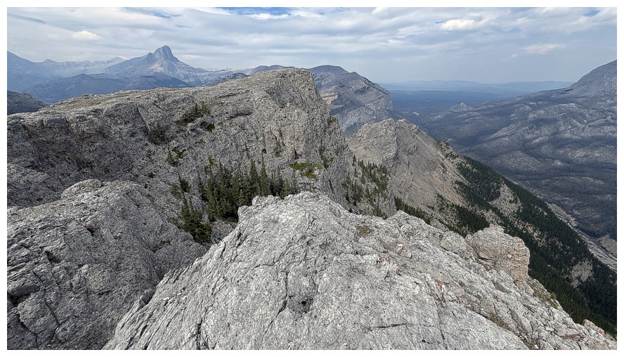
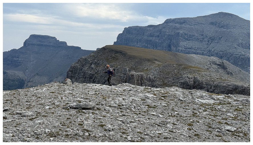
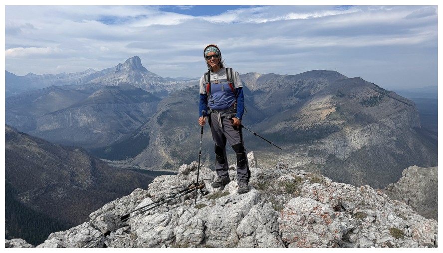
Highpoint at the end of the ridge
Round 3 of summit photos
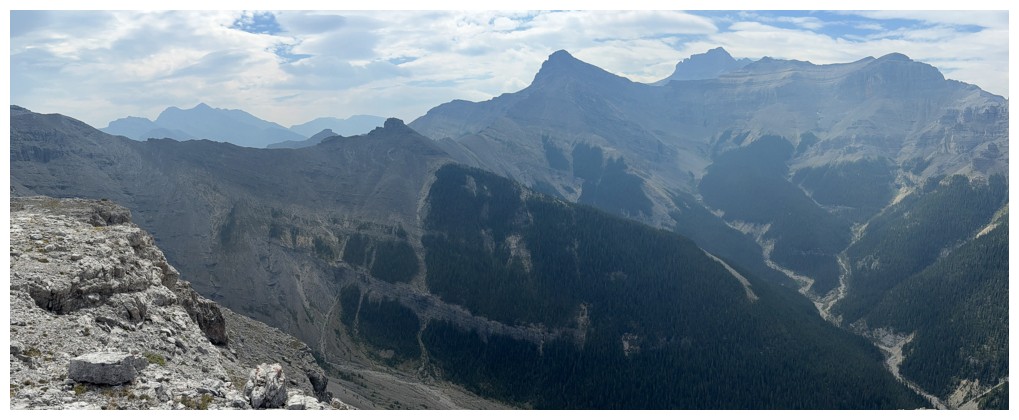
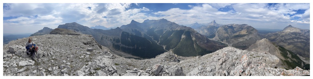
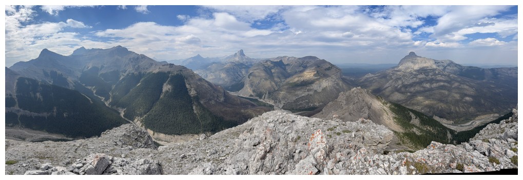
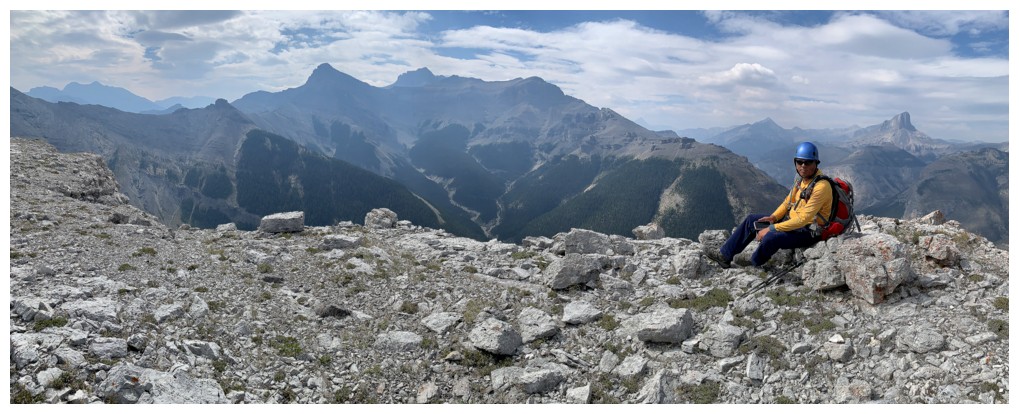
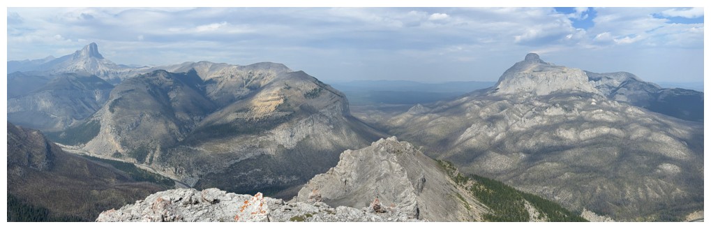
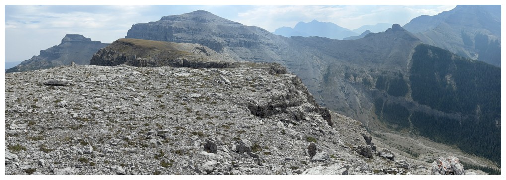
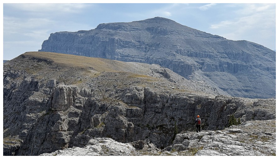
Returning
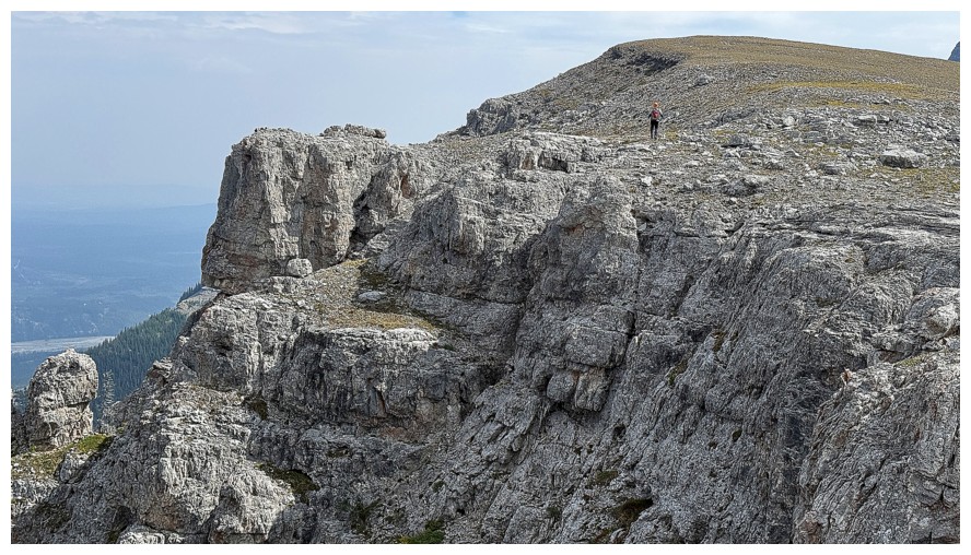
A little detour over to that rock outcrop at the left looked tempting
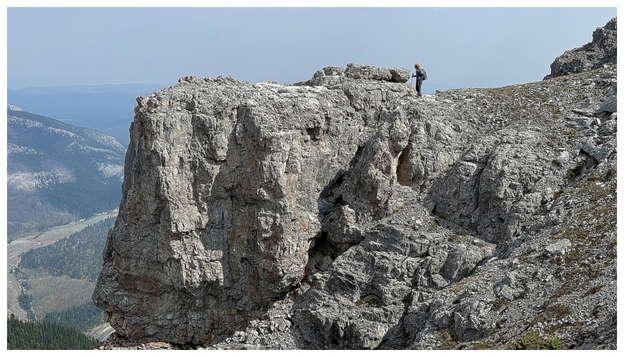
There appeared to be a small notch to negotiate
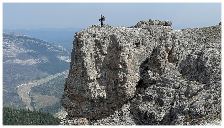
Thankfully the notch was inconsequential
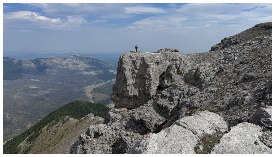
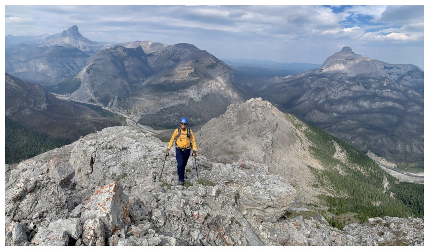
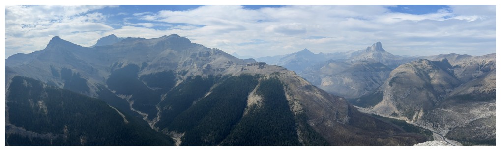
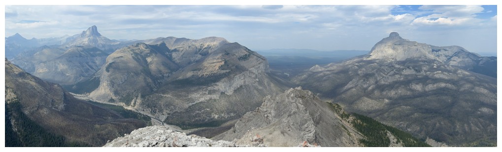
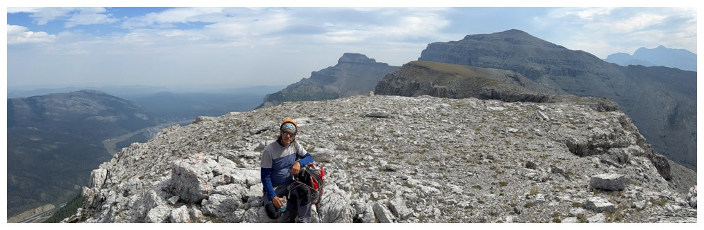
Excellent viewpoint
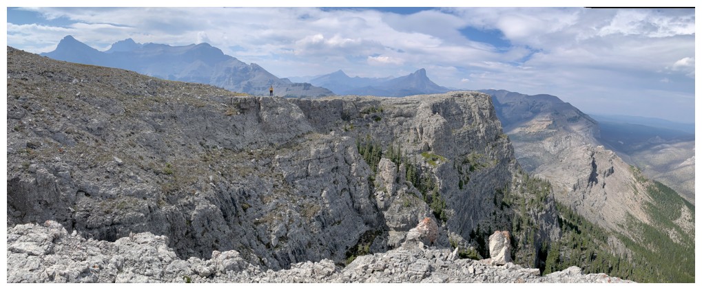
Mark's view of me
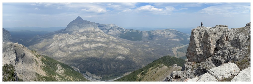
Mine of him
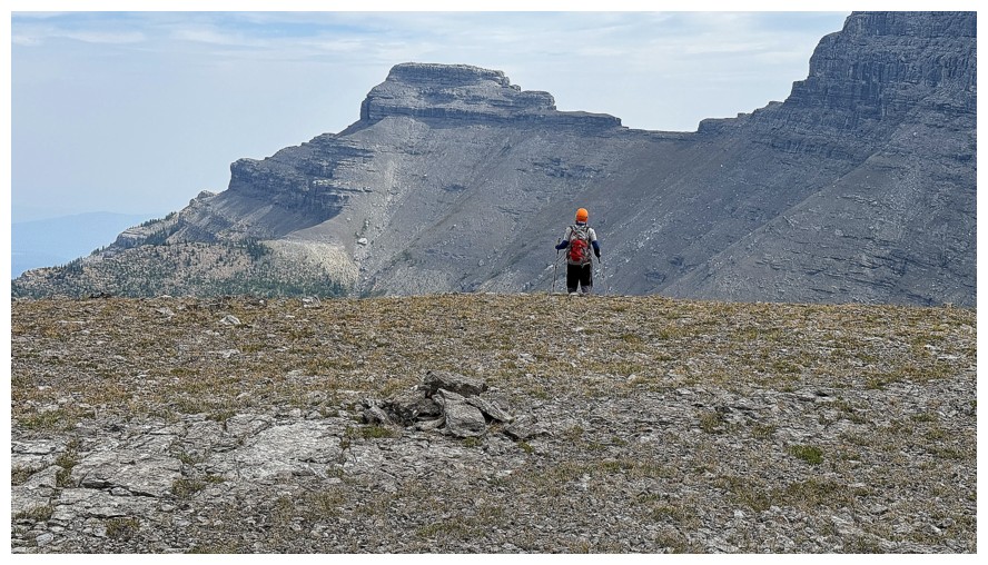
Back at the summit, with Phantom Crag looking very close in the background
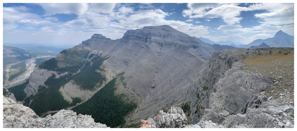
Not so close now
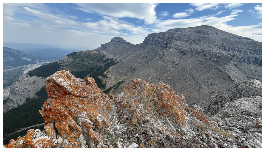
Same as above with some orange lichen
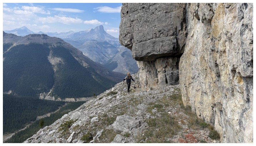
Back around the west side
A welcome appearance of blue skies, with the south ridge of the outlier
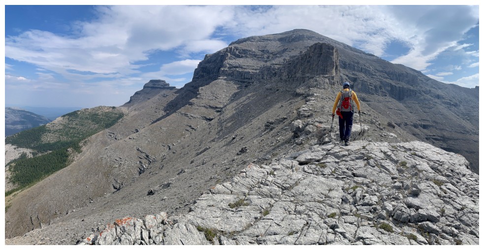
Traversing back over to the BIG traverse
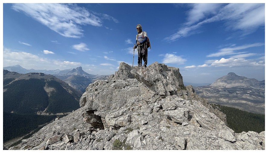
Could have used those blue skies when we summited Boil
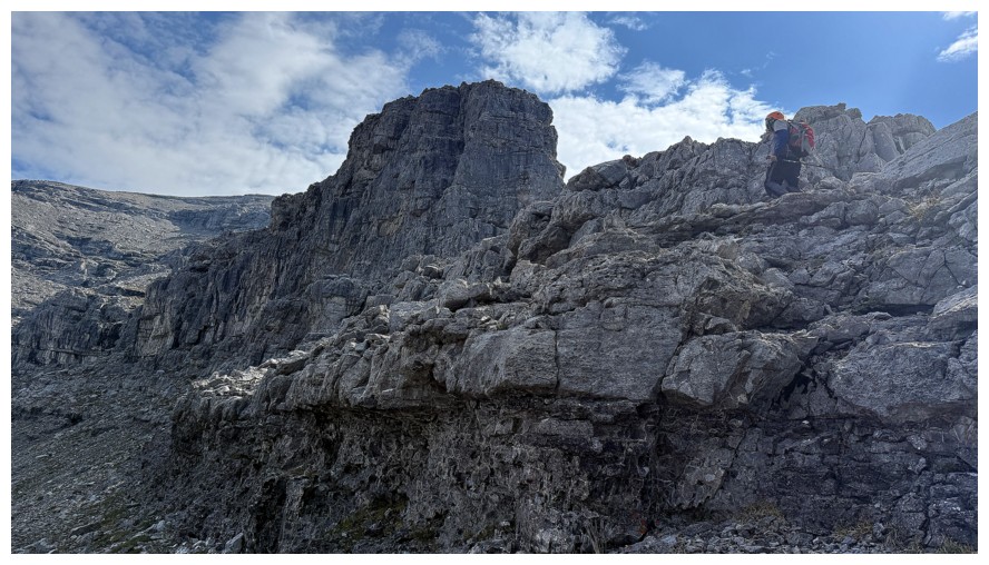
Ready for the big traverse
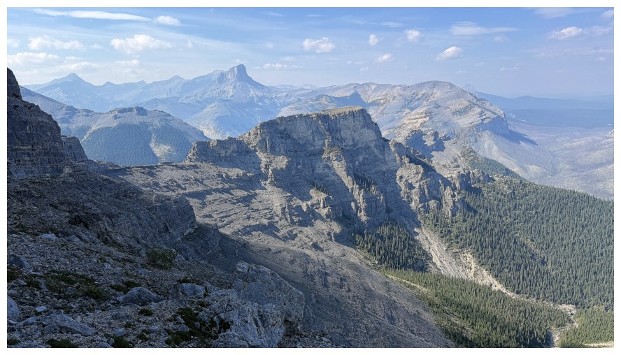
Looking back to the outlier
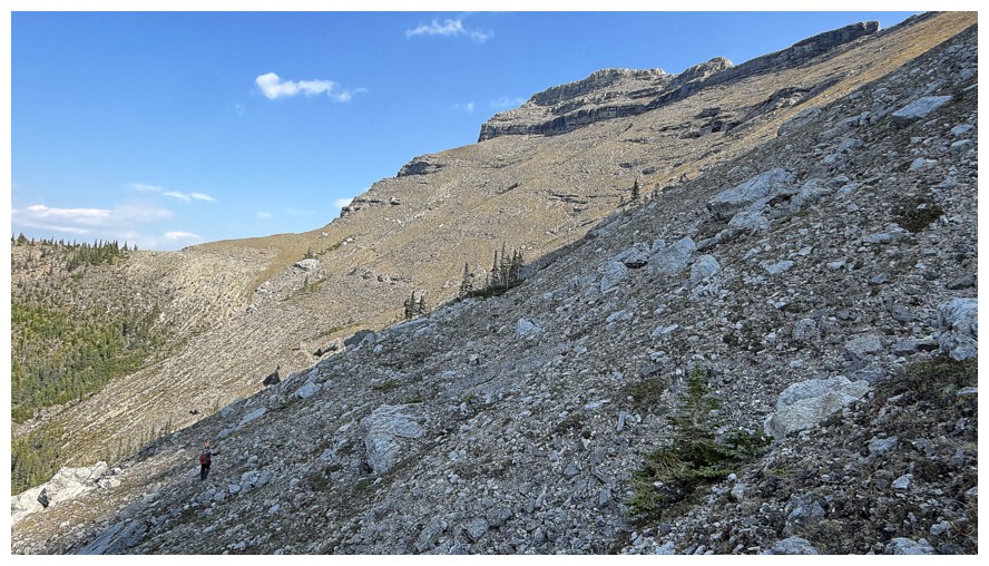
Looking ahead to our route down
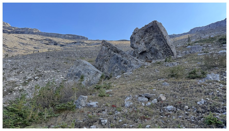
BIG boulders
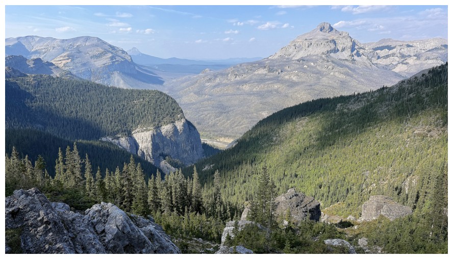
Looking down our descent route
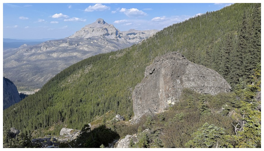
More big boulders
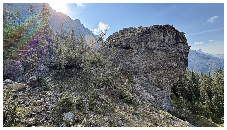
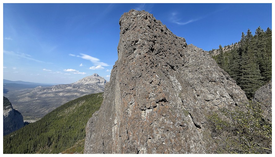
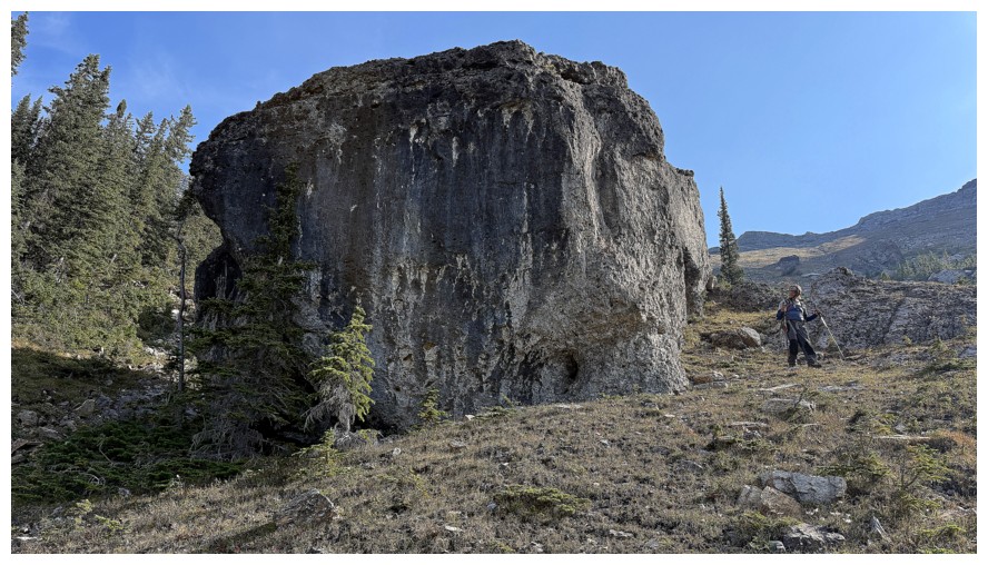
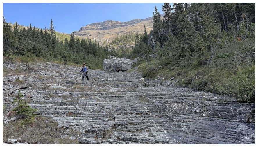
Back in the cool drainage
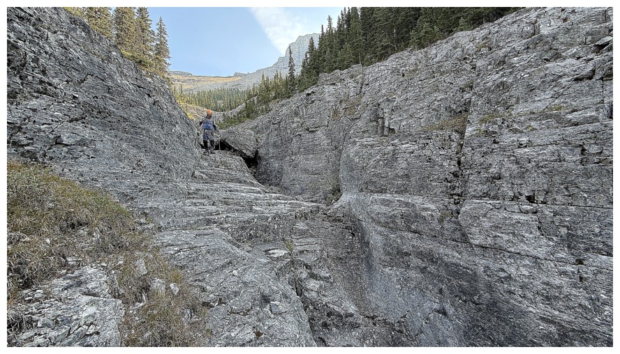
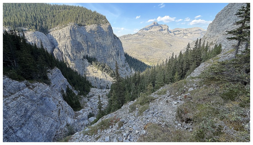
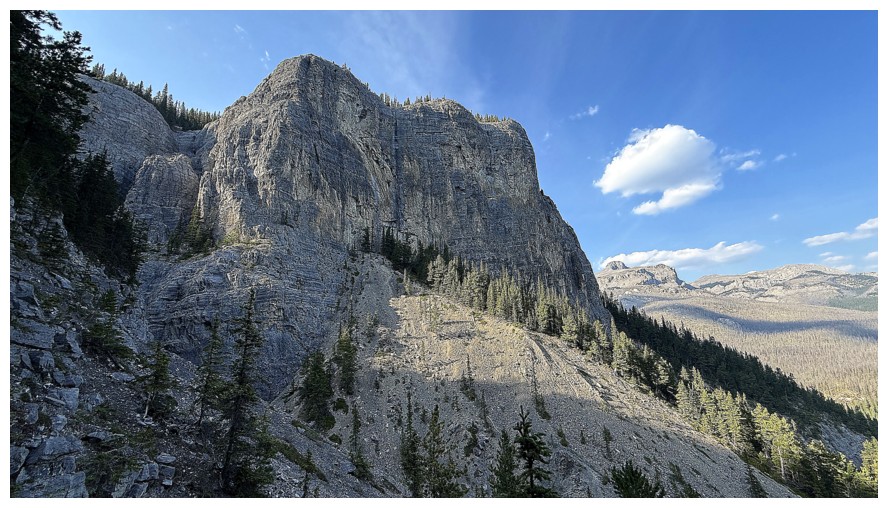
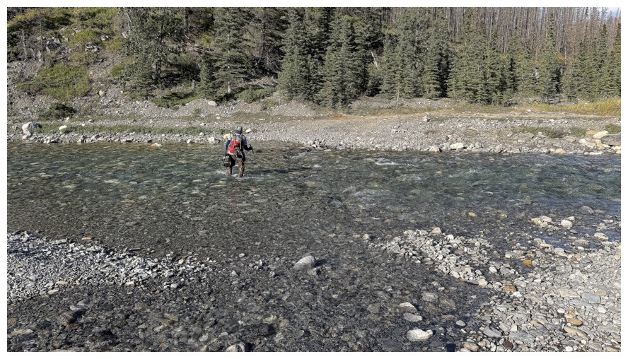
Back over the river
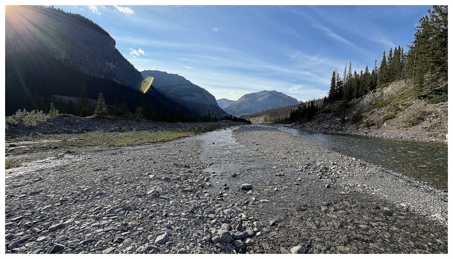
View up the valley
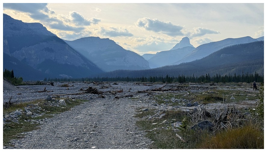
The end of a very rewarding trip
The End
LOG