December 29, 2024
Mountain height: 2462 m
Elevation gain: 920 m
Ascent time: 3:55
Descent time: 1:55
Hiking with
Mark.
Black Rock
Mountain may be our Prairie Bluff of the North!
 In other words,
a very front range peak, with a surprising number of fantastic routes to the
summit, all with their own scenic treasures. This was our fourth ascent of
Black Rock, three by slightly different routes and one by a completely different
one.
As usual, the
crux of the trip was the drive to the trailhead. I was able to get down the Big
Hill and a little ways up the valley, but stopped short of the trailhead when
the already sketchy “road” became even less of one! We started hiking towards
Black Rock, however, recalling an awesome trip up Phantom Crag several years
earlier, decided to try the outlier immediately west of Phantom. 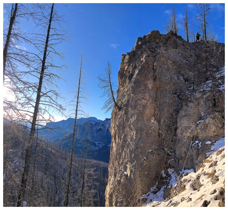 That idea
quickly drowned in the Ghost River! The river was low, but we didn’t have
hip-waders or runners with us – no way were we going to ford that river with
bare feet in late December!
At this point,
we were situated at the base of Black Rock Mountain’s south-southwest ridge. With
a predicted breakdown in the weather around noon, following that ridge was the only
logical option. A trail didn’t exist, but we knew the ridge would eventually intercept
the south ridge and the excellent trail up Black Rock’s south side.
Travel through
the burnt-out forest went with surprising ease, probably due to an almost complete
lack of snow. The other surprise (which really shouldn’t have been one) was encountering
some amazing rock scenery and run-ins with several deep fissures. Black Rock,
and all the mountains in the area for that matter, are so geologically fascinating.
We eventually
reached the main trail and followed it to the summit. Unfortunately, the clouds
decided to roll in earlier than expected, denying us the similar and incredible
views we had experienced on our second ascent (still my favourite of the four).
Surprise number three of the day was to arrive at the top to find the
decommissioned lookout had REALLY been decommissioned – i.e. it had been
removed almost completely; only a few scraps of material remained.
We didn’t stay
at the top for very long, having enjoyed much better weather on two of those previous
ascents. Obviously, we took the wonderful hiking trail down, taking less than
half our ascent time.
A terrific day out
on a mountain (like Prairie Bluff, Pincher Ridge, Drywood Mountain, Loaf Mountain, and pretty
much everything else in the Castle and Waterton!) that keeps on giving!
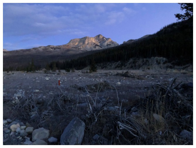
Blurry look at Black Rock before our short and failed attempt at the outlier
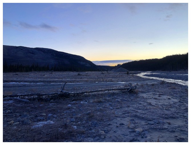
Waiting for Sunrise
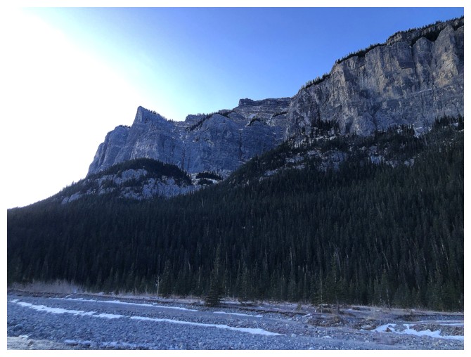
The impressive east side of Phantom Crag
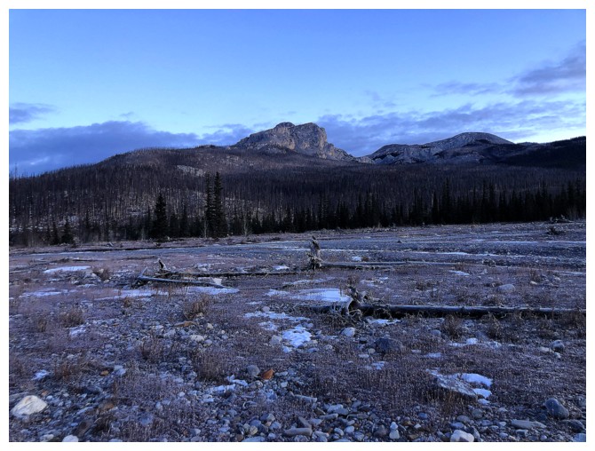
Less blurry, but we are still walking away from Black Rock
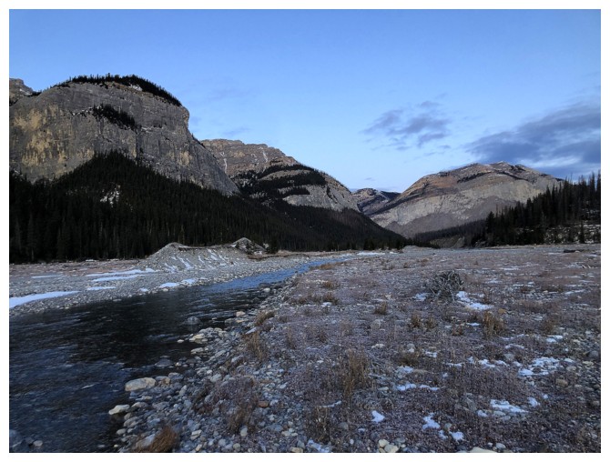
The Ghost River is shallow and not very wide at this time of the year. It's also insanely cold!
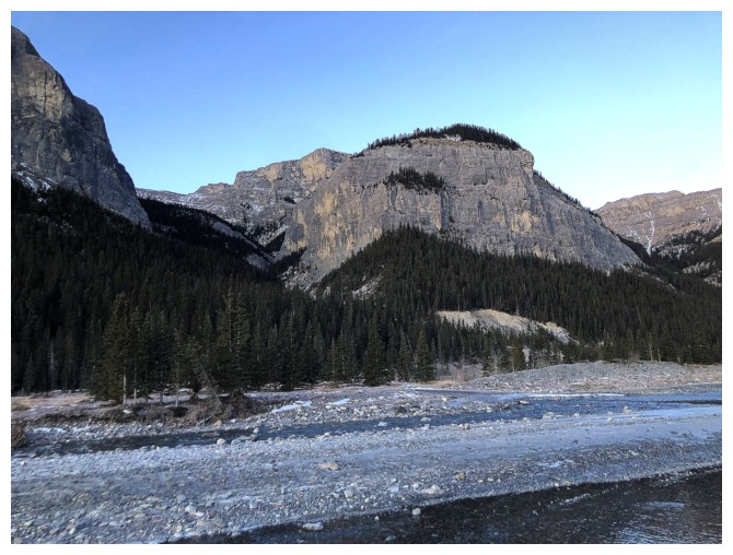
The access canyon to Phantom and the outlier; but there's a very chilly river between us - time to revert back to Black Rock
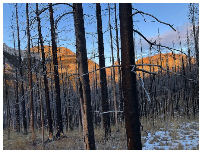
Hiking through up the south-southwest ridge of Black Rock. The forest burned down in 2020.
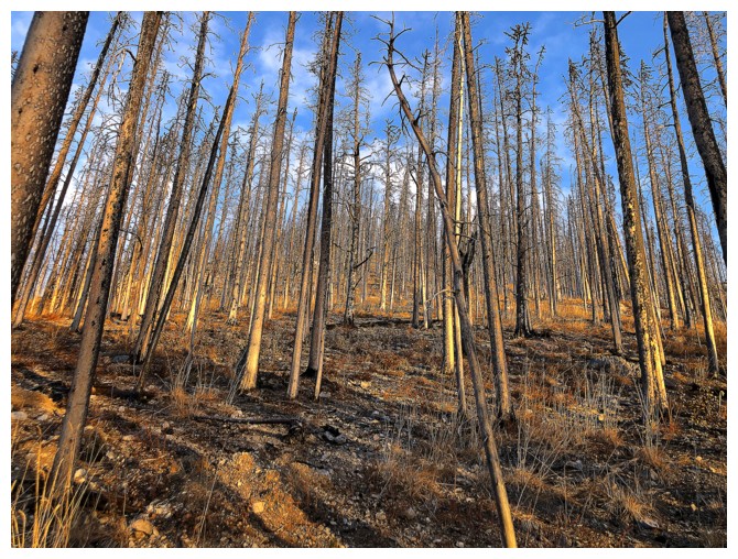
Like the Waterton, Kenow fire, the Black Rock fire has made travel easier for now
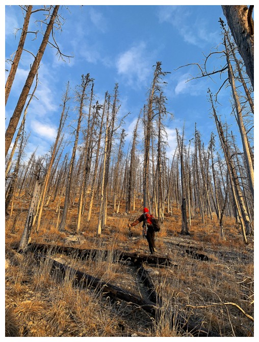
Easy travel
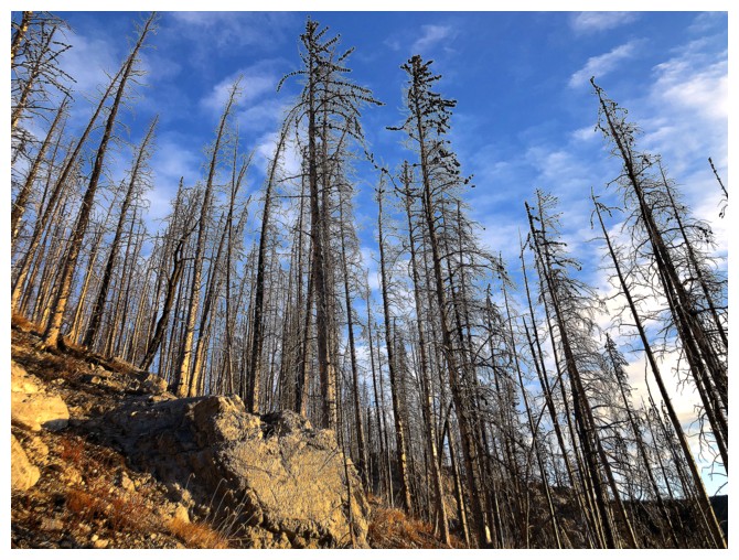
The charred trees provided cool photo subjects
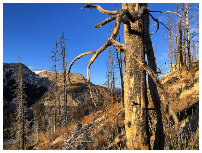
Same as above
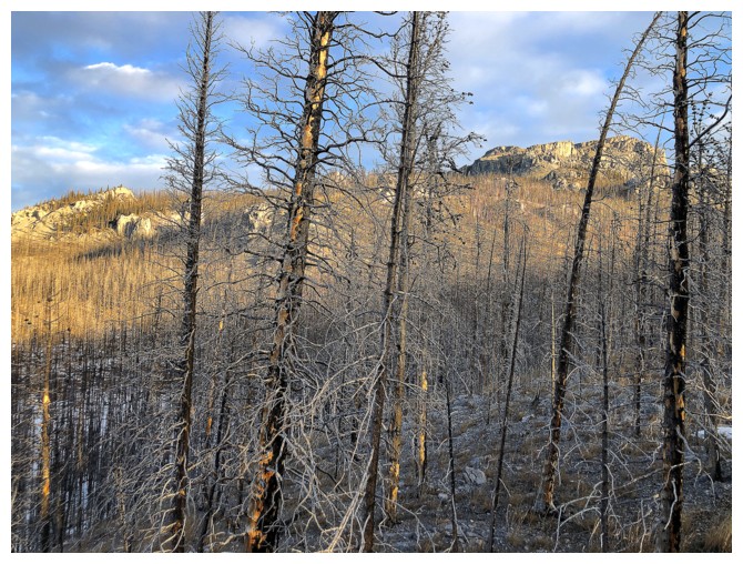
At this point, we veered left towards the rock at the far left
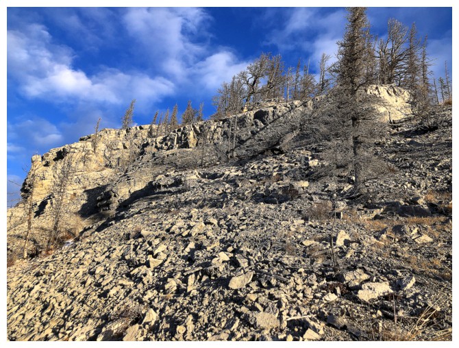
At that rock
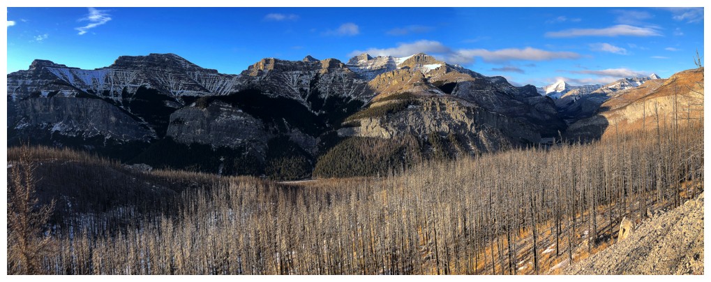
The view opens up to the southwest. Phantom Crag and the outlier at the
far left.The rest of the huge massif is all part of Mount Costigan.
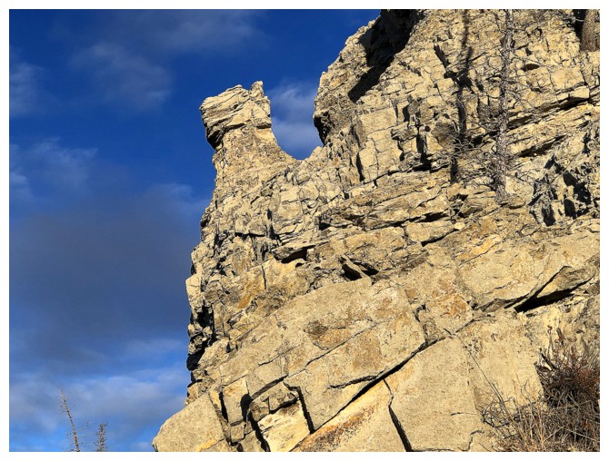
The first of many interesting rock features
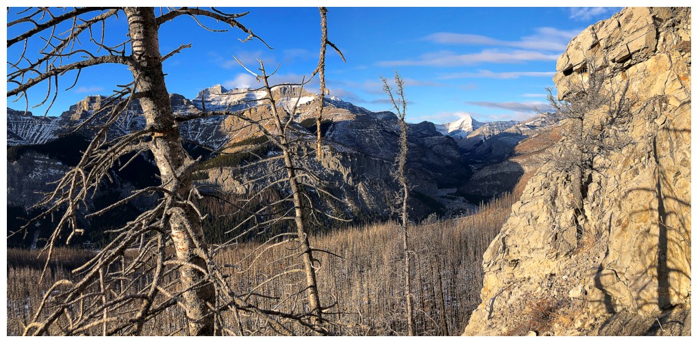
Trees, rocks, and partial views
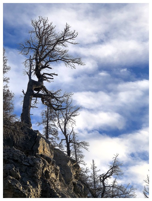
A very distinctive tree and the Monet-like clouds start to build
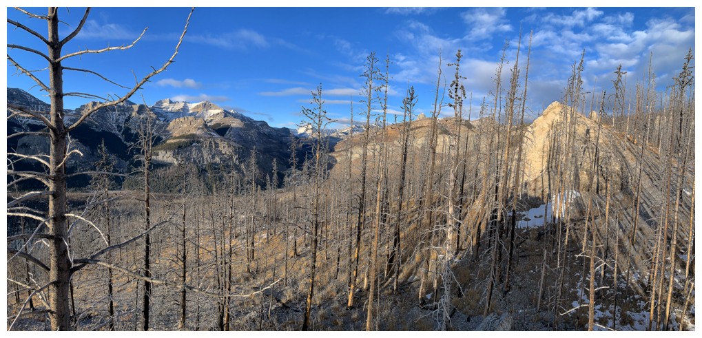
Heading for that rock outcrop near the right
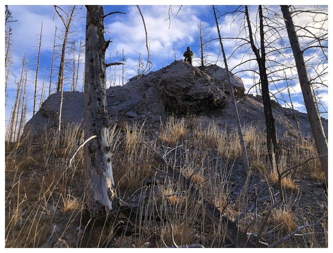
Mark finds his own little highpoint
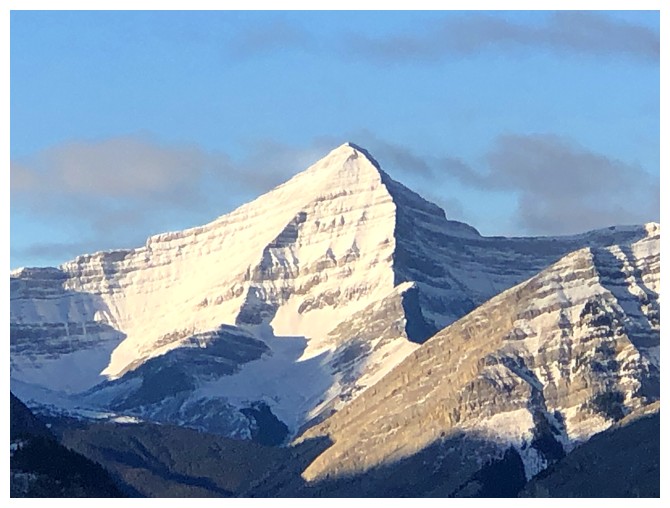
Mount Alymer
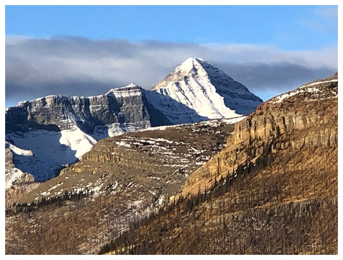
I erroneously identified this as Alymer in previous reports. Looks to
be an unnamed peak west of Devil's Head, possibly unofficial
Poltergeist Peak?
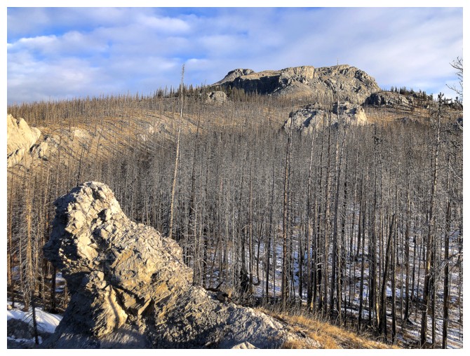
The summit of Black Rock can now be see in the distant centre
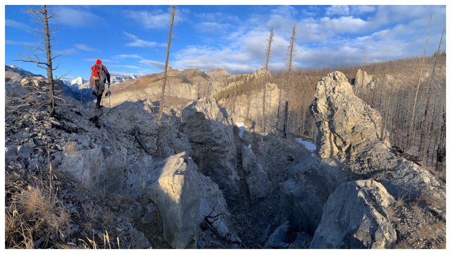
One of the most geologically interesting sections of the trip. There's a deep fissure below.
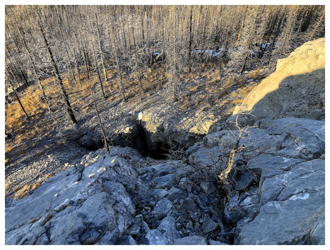
A small part of the fissure
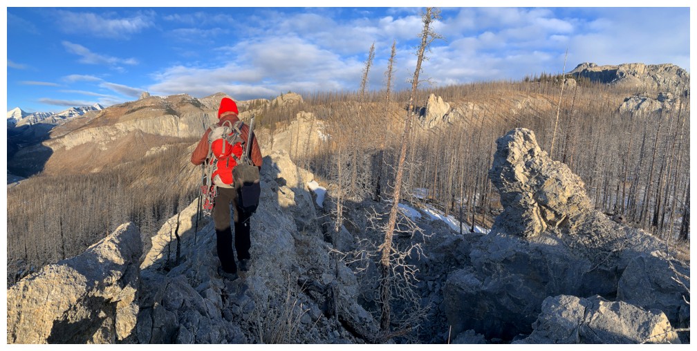
Hiking to the end to get a better look
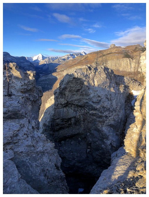
There's the main part of the fissure. It was deep enough that we couldn't see the bottom.
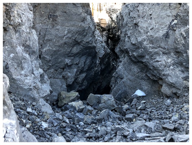
Getting closer to it
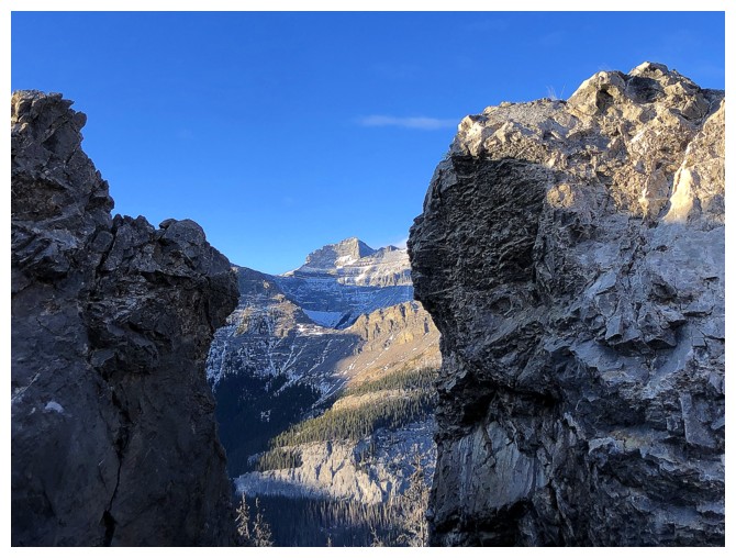
Nice view of Costigan through the gap where the fissure is
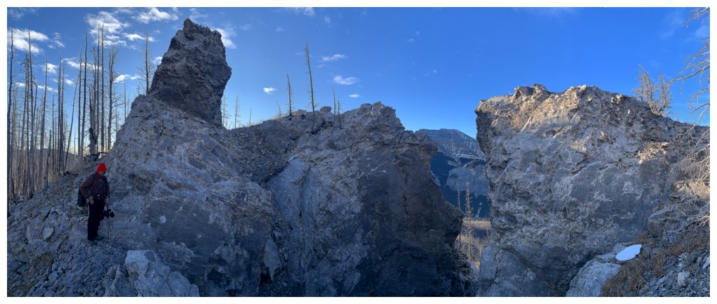
My vantage point
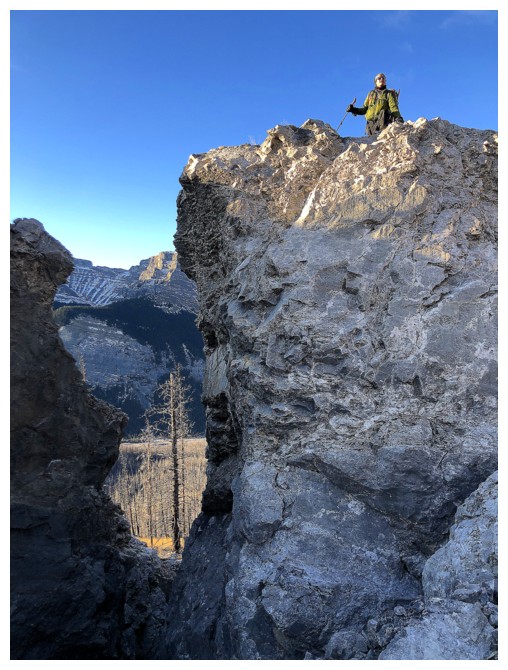
Mark atop the right side
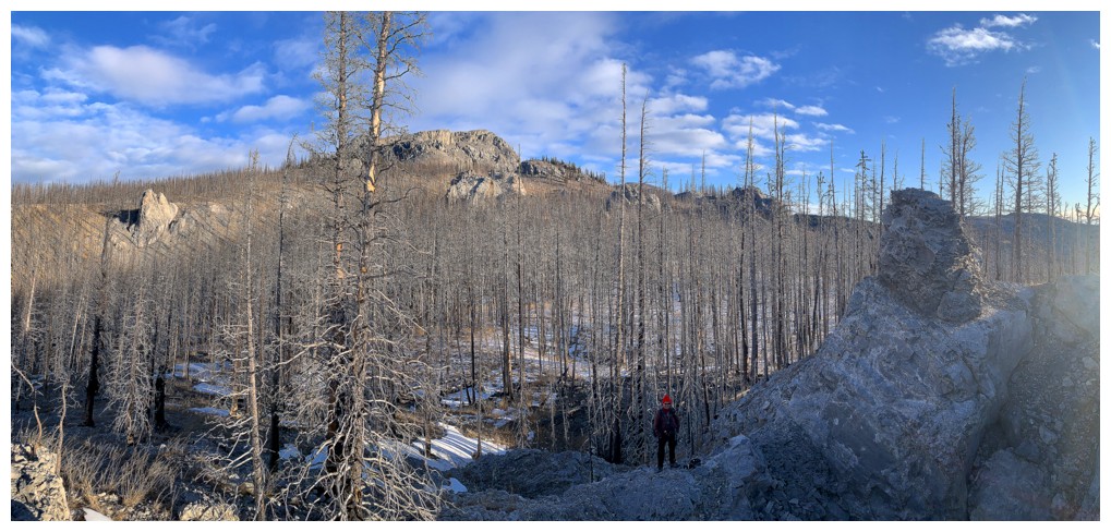
Mark's view of me and Black Rock
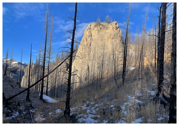
On to the next rock feature
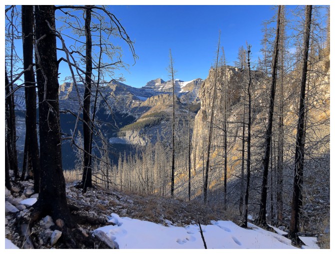
Still mesmerized by Costigan and the burnt trees
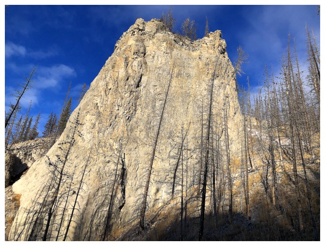
Super cool tower
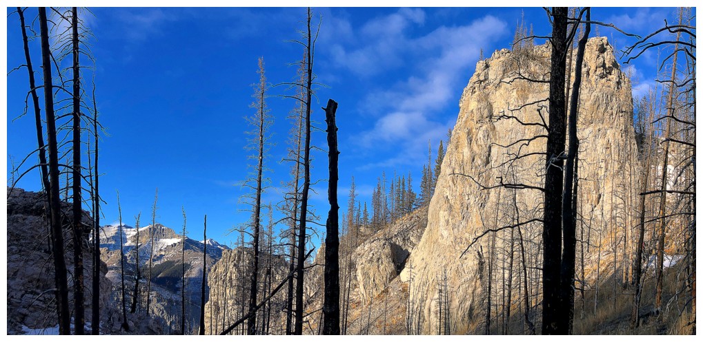
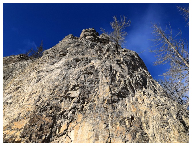
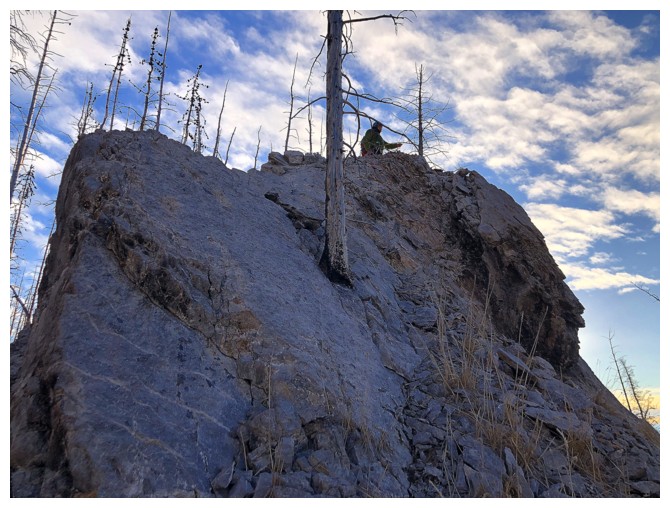
At the base looking up at a tree miraculously growing out of the side
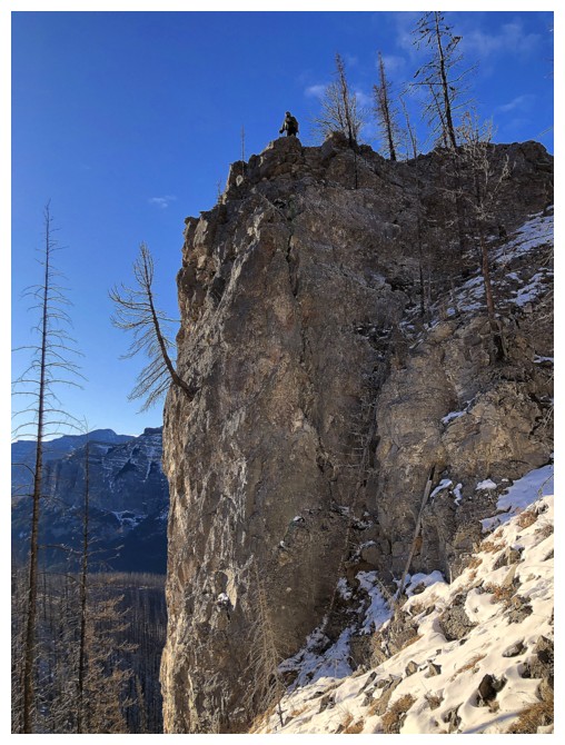
Mark atop the tower and kudos to that tree!
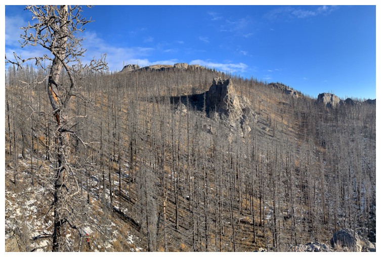
A random outcrop of rock that we bypassed by staying on the ridge

Fortunately, the tower is only a tower from certain angles and is easy to get up and down
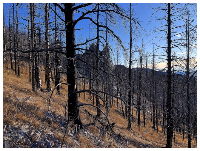
Passing the outcrop
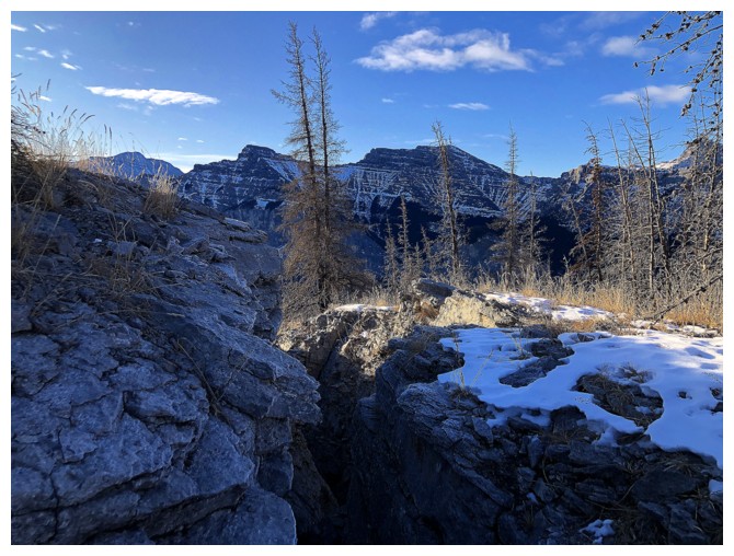
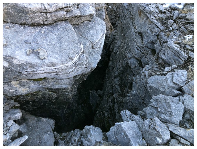
Another deep fissure
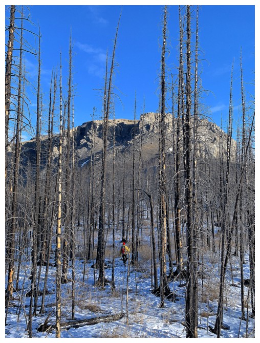
Time to look for the hiking trail
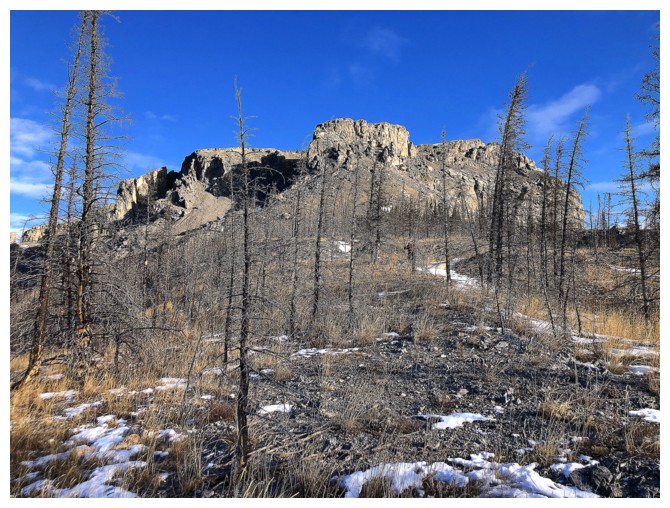
It's in that general direction
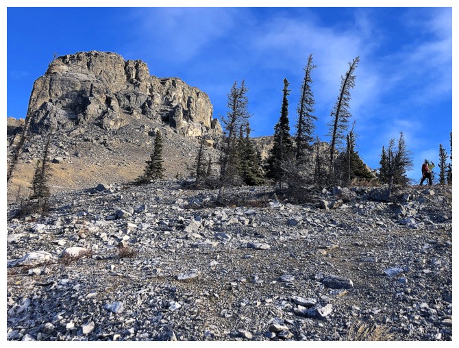
Mark (far right) has found the trail
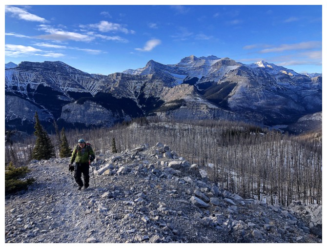
Even easier travel from here to the top, although there's still lots of elevation gain
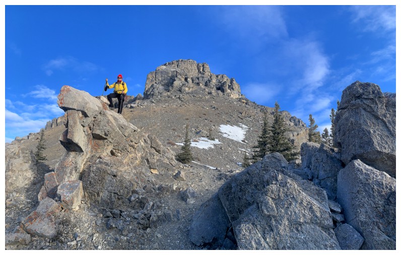
A much smaller rock feature to stand atop
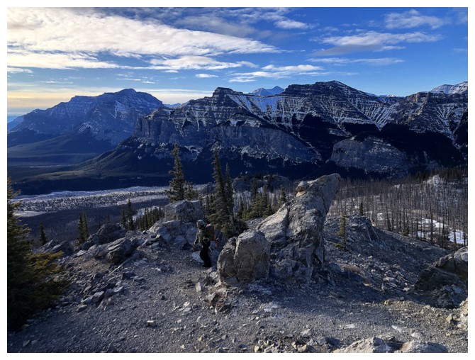
Mark hikes past it
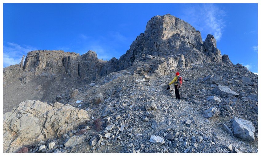
Approaching one of the coolest features of the trail, as it winds its way though the rock bands
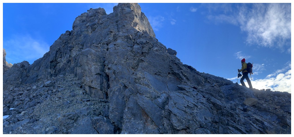
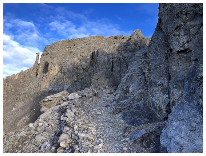
Winding
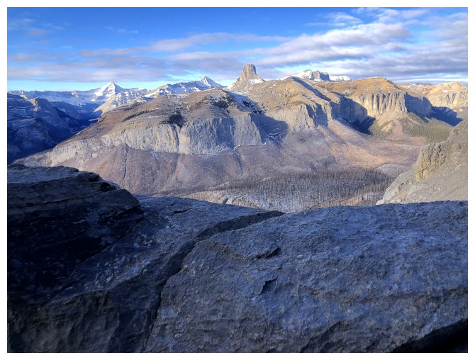
Devil's Head is front and centre - still one of our most memorable ascents to date
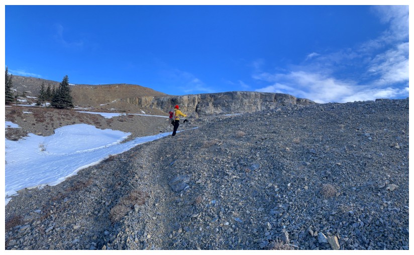
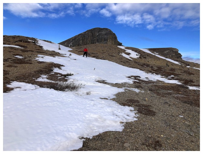
Flatter terrain above the cliffs
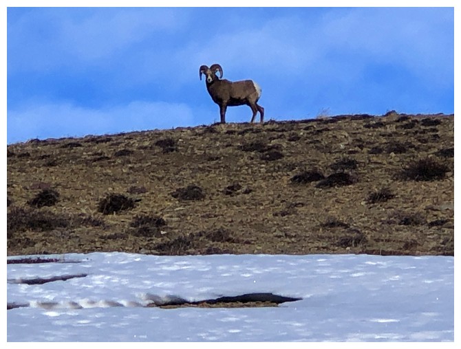
Every time I see a ram at this time of the year, I interpret the sighting as a good omen for the LA Rams to make the NFL playoffs - good thing I don't support the Miami Dolphins!
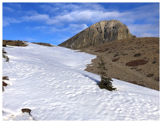
The summit block of Black Rock
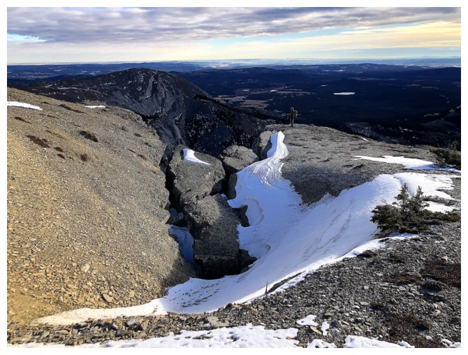
Mark takes a short detour to check out the views on the ridge. He needs a bright yellow jacket for visibility!

Same as above
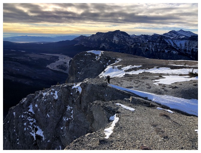
It's a straight drop down
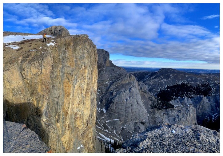
Mark's view of me
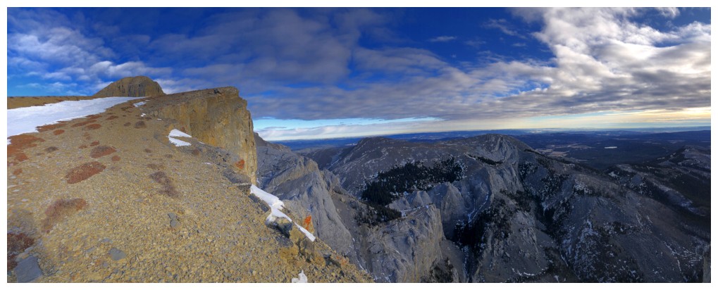
Bigger view
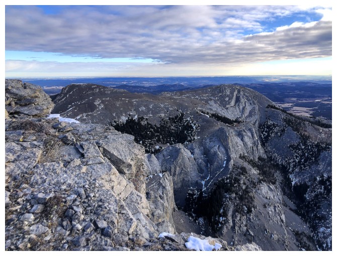
Part of the third route we took
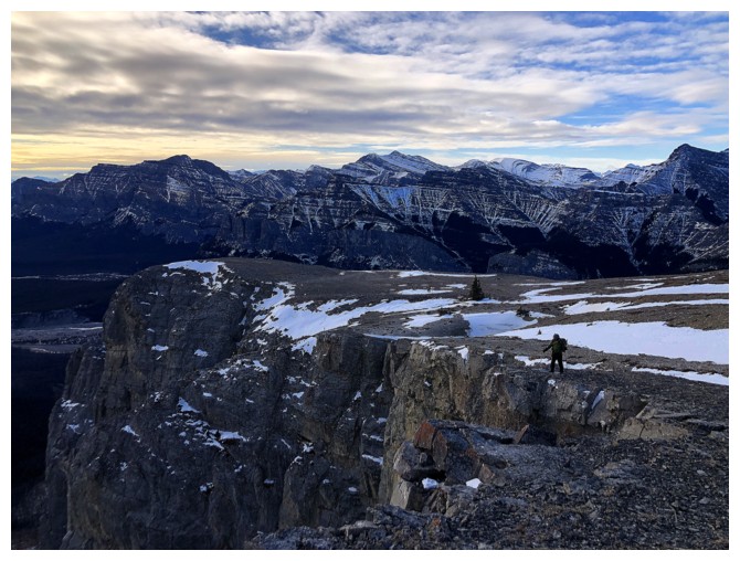
Mark's hikes the edge
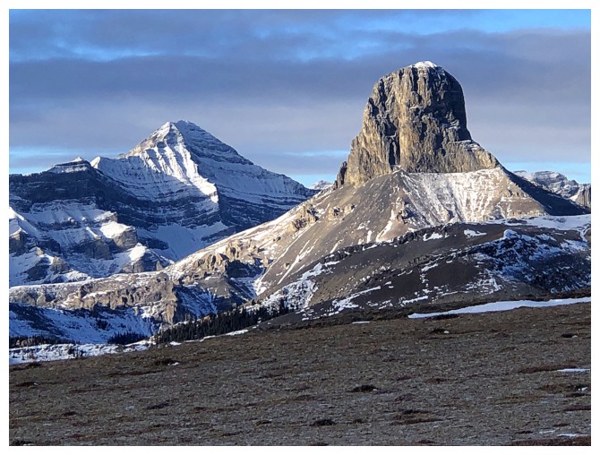
Poltergeist (?) and Devil's Head
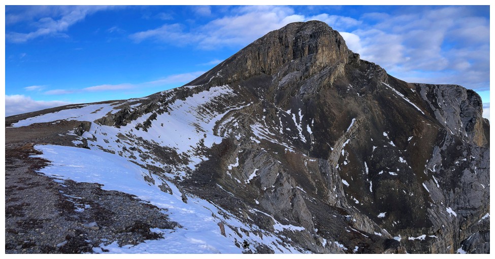
Only about 200 m of elevation gain to the top from here
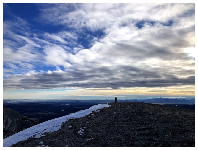
The clouds continue to build in most directions
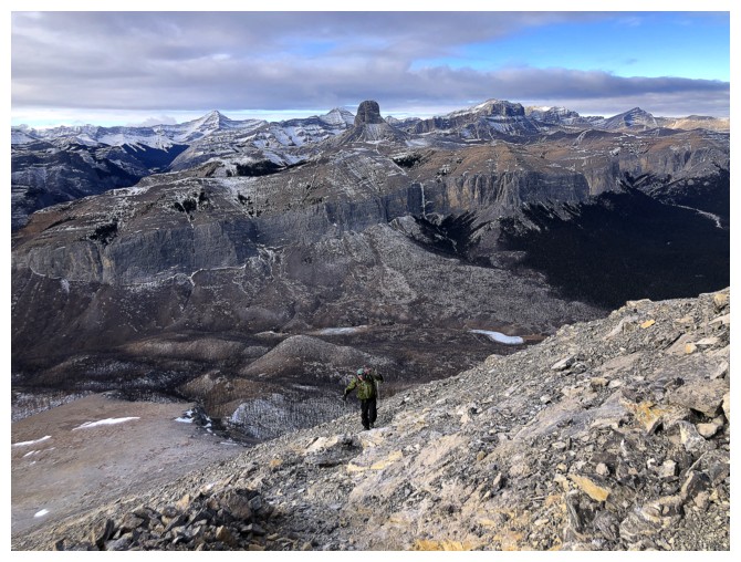
Bit of a slog, but at least there's a good trail
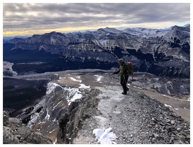
This short section had significant drop-offs on both sides
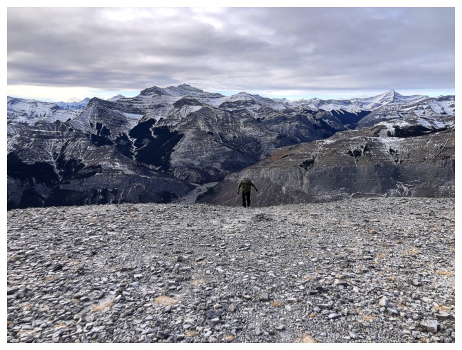
Mark takes the last few steps to the top
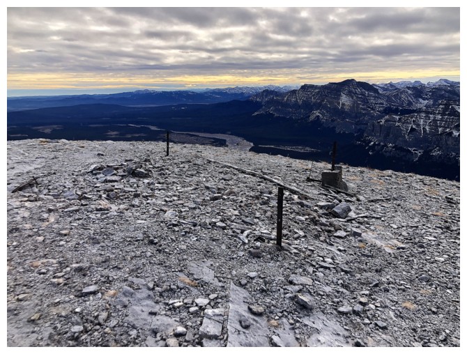
Where's the lookout?
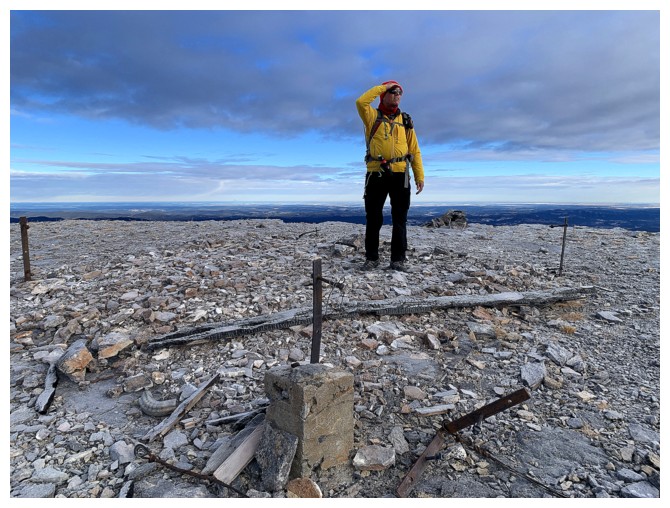
There he is, minus the Lookout!
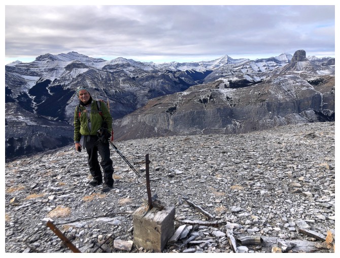
Mark and some of the remains of the Lookout
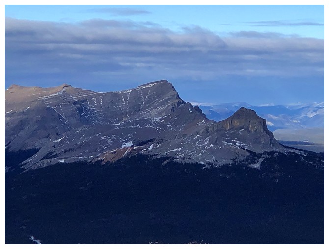
Ghost Peak to the north. We ascended that one in July of 2021, on one of the nastiest, smoky days we've ever encountered.
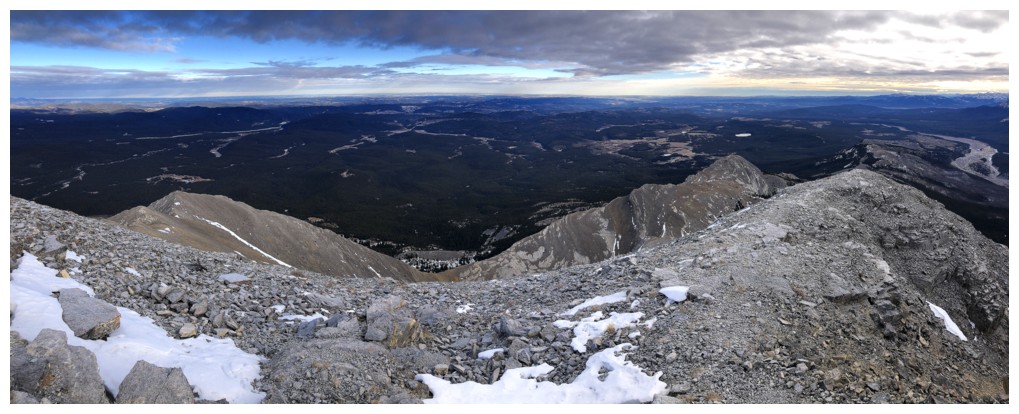
Most of the third route, via the southeast/east ridge is visible from here
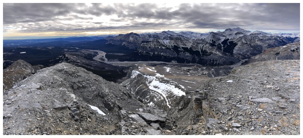
Summit view south
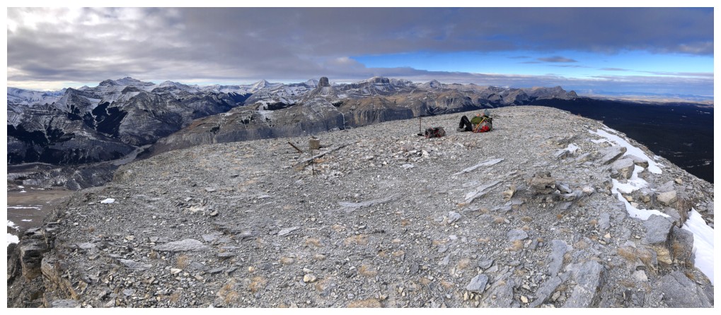
Summit view west
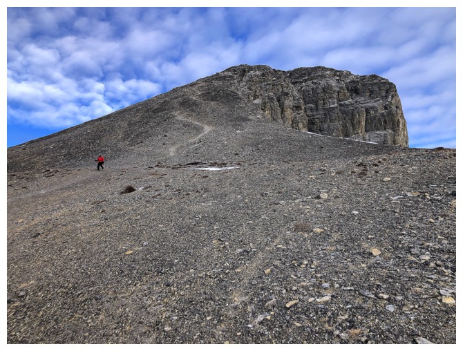
Descending
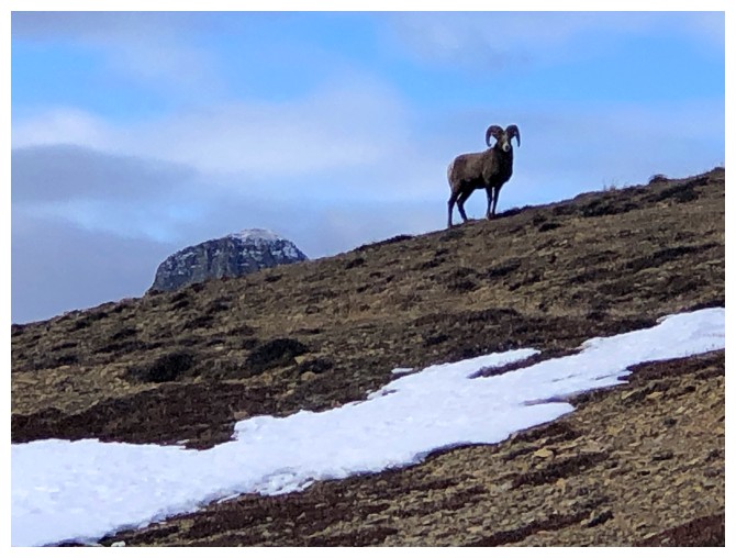
There's that ram again, looking strong and bold!
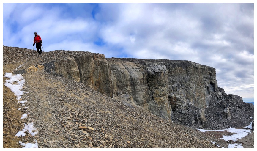
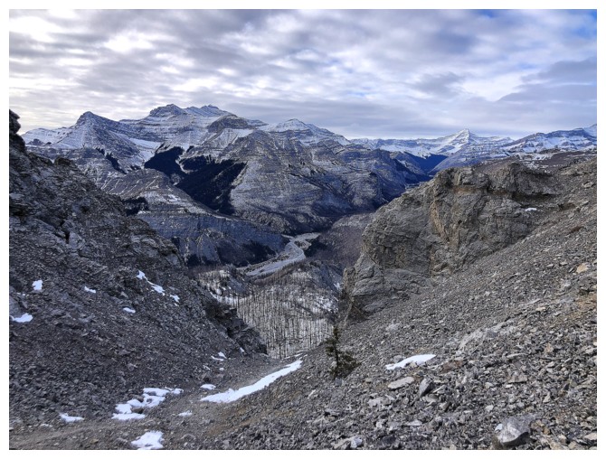
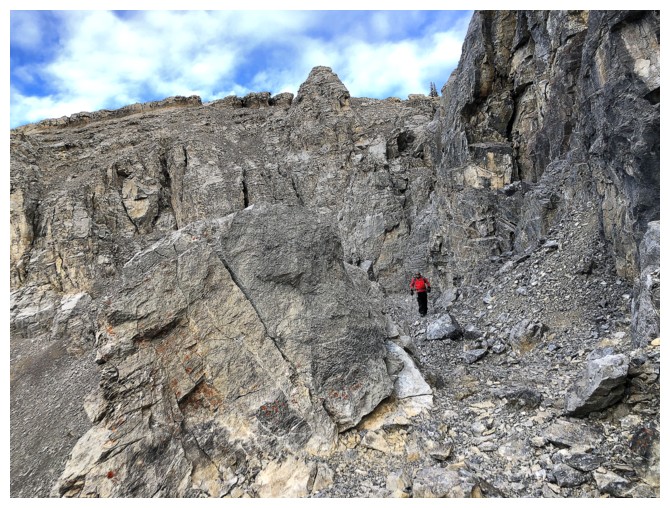
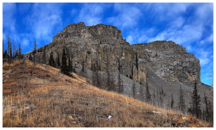
The second route we took goes between the two buttresses. It's still my favourite, partially because of the incredibly blue skies we had that day.
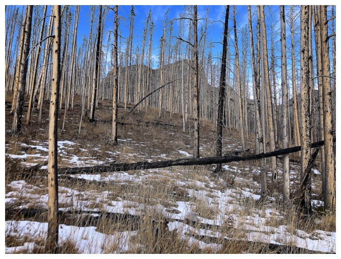
Just the outline of Black Rock is visible now
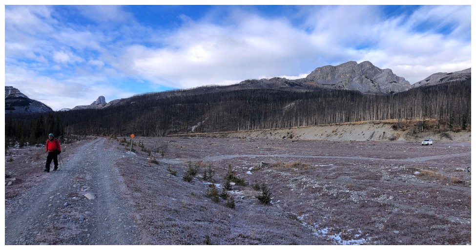
Got about a 1 km hike back to the car to end the day
Epilogue: on
the drive home we learned that the Rams were one victory by the
Commanders away from securing a playoff spot and later that evening the
Commanders defeated the Falcons in a totally awesome game with a wild finish. Rams in the playoffs again. Special thanks to the ram on Black Rock - I know he was in on it!
The End
LOG