Porcupine Ridge II
 November 20, 2021
Mountain height: 2118 m
Elevation gain: 713 m
Ascent time: 3:35
Descent time: 1:50
Solo scramble.
I first scrambled up this ridge in 2010, but
at the time thought the summit of unofficial Porcupine Ridge was the higher of
two striking mini peaks near the highpoint of the ridge. I was only able to
summit of lower of the two, the higher one requiring some fiercely exposed
scrambling/climbing. This time I would stick to the main route to get to the
highest point, following the description in Daffern’s guidebook.
In short…..that was easy! Although there was
one section where I had the backtrack to find an easier path, the route went
with relative ease and was interesting throughout. Continuing along the ridge
all the way to Tiara Peak was a possibility, but not in mid-November, with
limited daylight and snow on the ridge. Instead, I simply retraced my track back
to the start.
A satisfying, but not mind-blowing, day out.
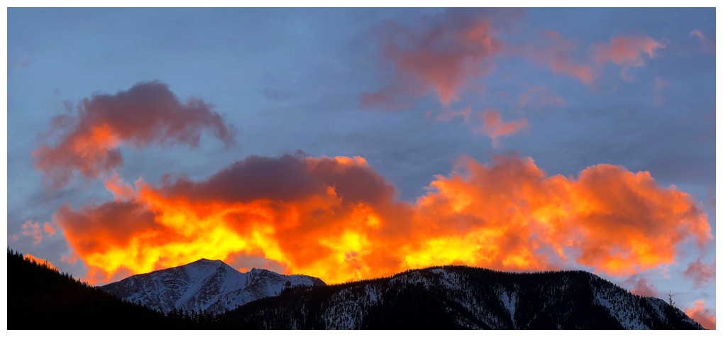
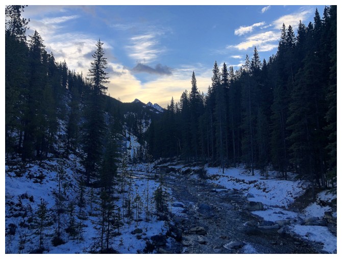
Cool Sunrise
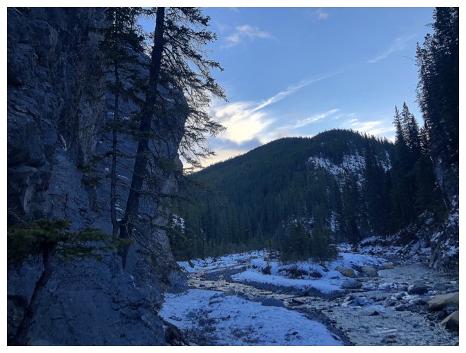
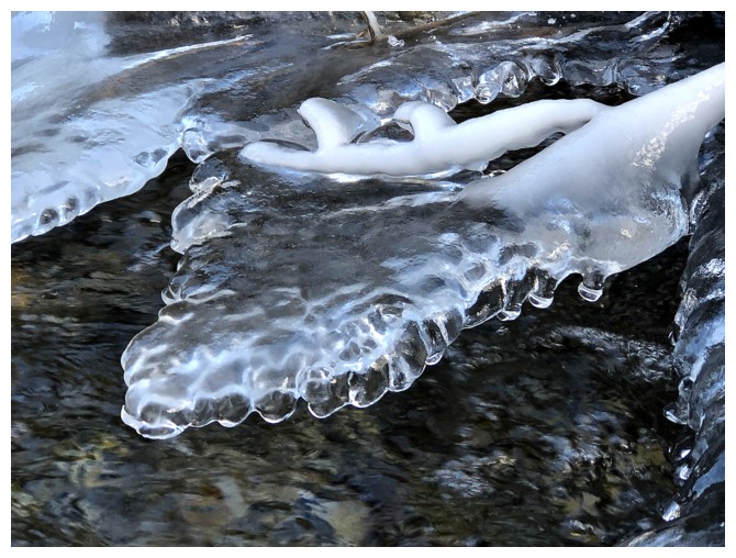
Looking back to Mary Barclay Mountain, while hiking alongside Porcupine Creek
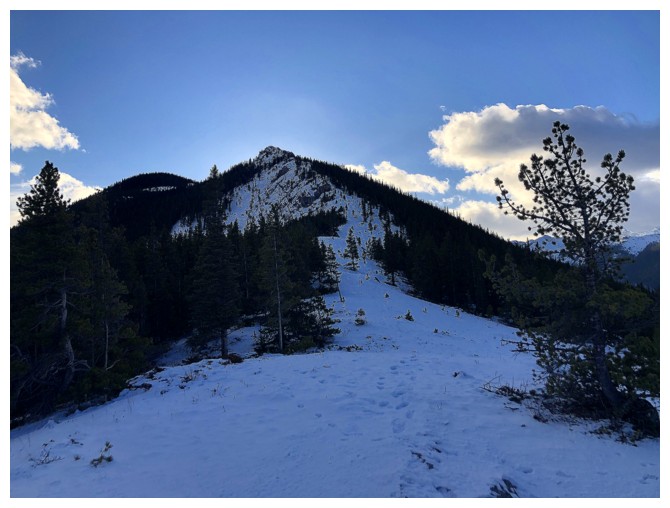
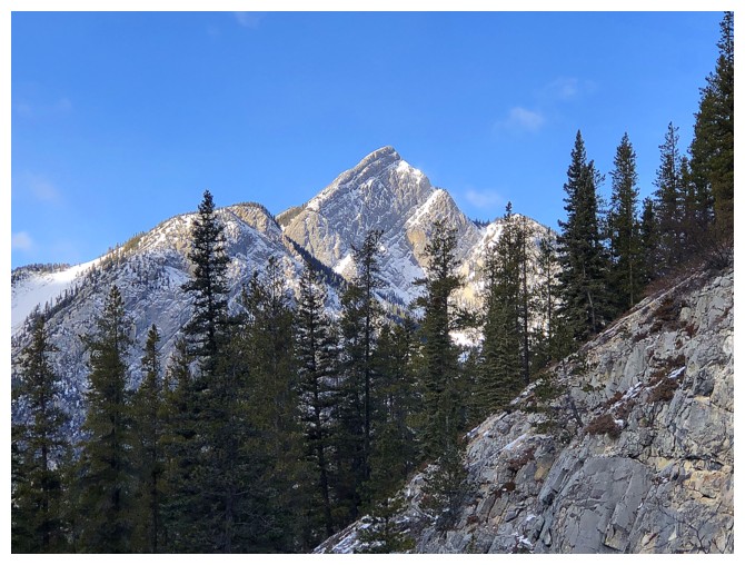
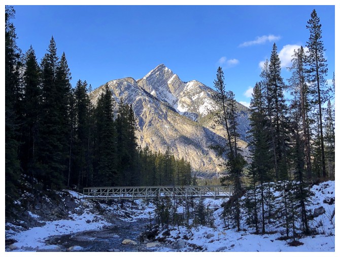
First glance at Porcupine Ridge
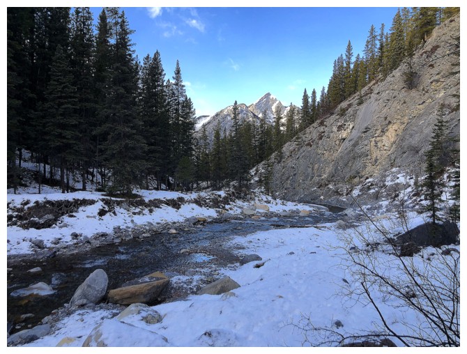
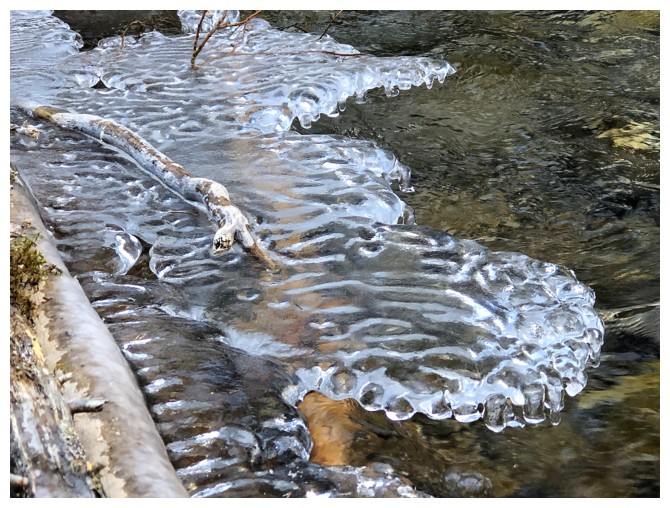
Very steep rock on the left side of the creek
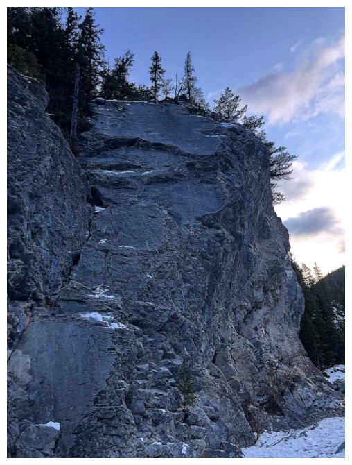
There are many bolted climbing routes on both sides of the creek
Approaching the start of Porcupine's northwest ridge

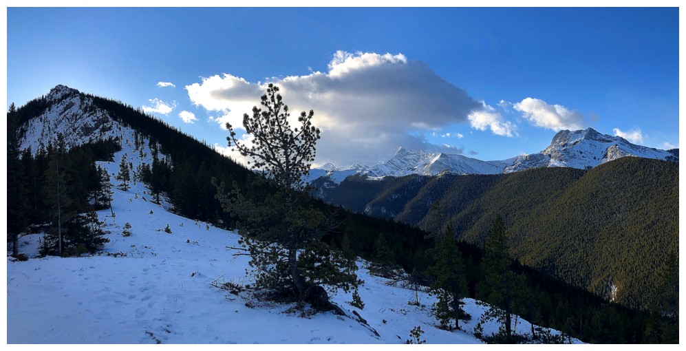
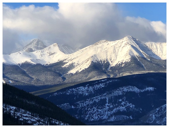
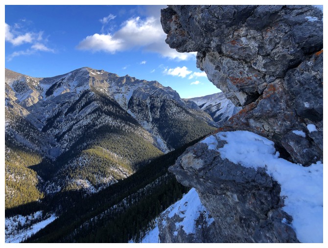
Mount Lorette (centre) and Mary Barclay (right) are featured throughout the ascent
They both look better with some Sunshine
Mount Collembola
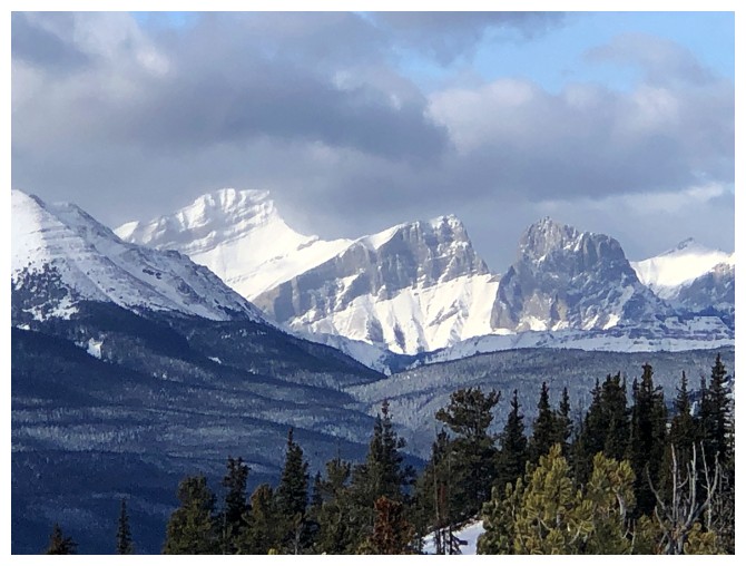
Midnight (centre) and Midday (right) peaks lie to the northeast
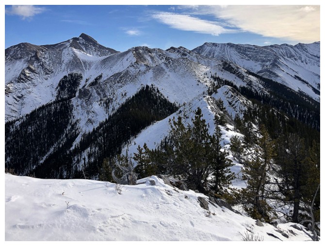
The view opens up even more
The first major highpoint of the ridge at the far left
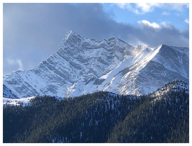
Old Baldy Mountain
Kananaskis Peak
The two summits of Wasootch Peak
Wind, Allan, and Collembola
Closer look at Lorette and Skogan Peak
Easy travel to the first highpoint
Midnight and Midday again
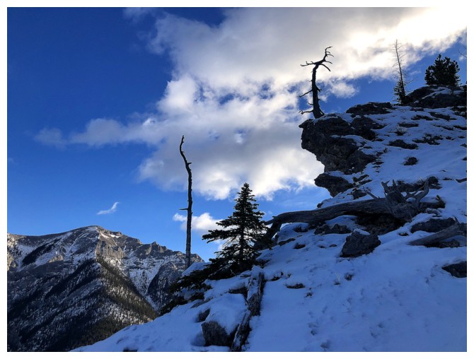
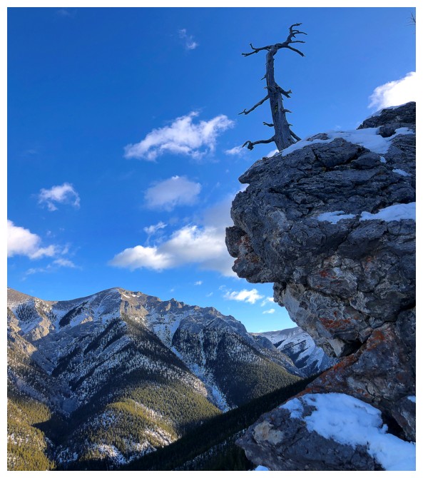
A few striking, dead trees
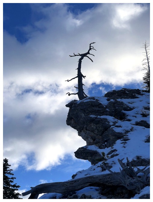
Especially this one
Midday and some cool, overhanging rock
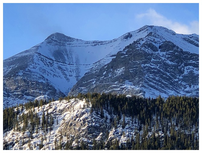
Midnight, Midday, and add part of Boundary Ridge at the right
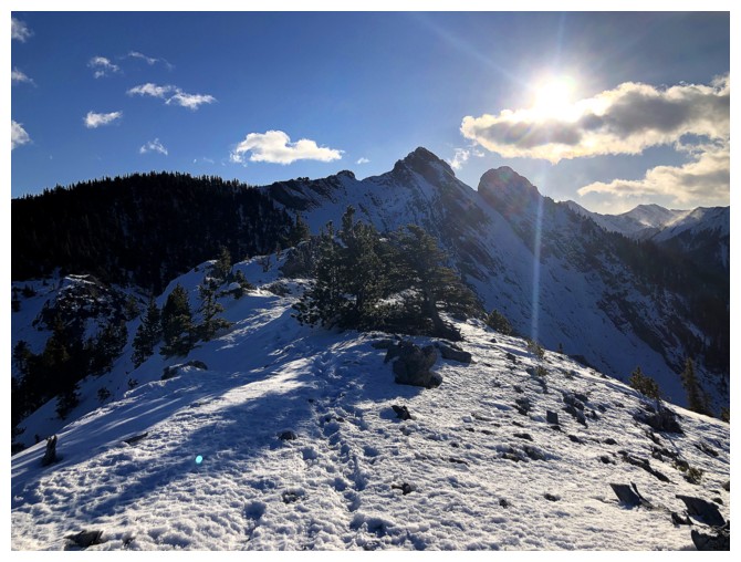
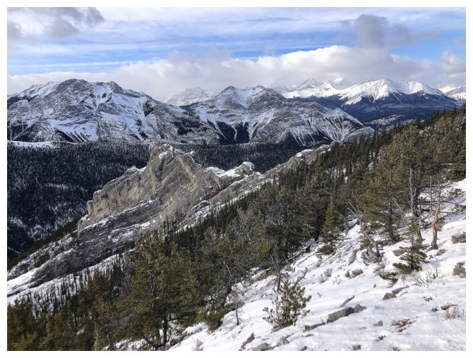
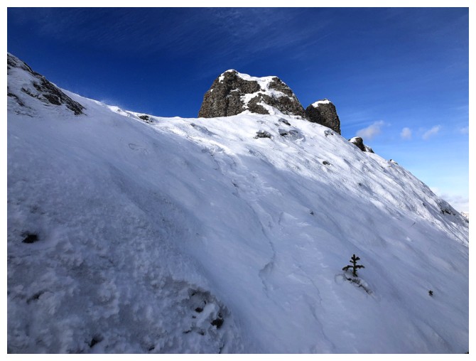
First look at the two mini peaks. In 2010, I thought the highest one
was the summit of Porcupine Ridge, but could only make it to the lower
one.
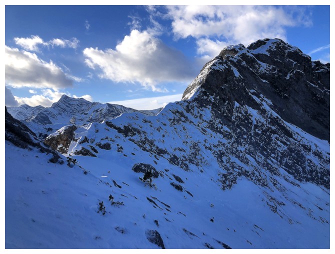
Minor ups and downs along the way
Cool, but not the summit described in Daffern's book
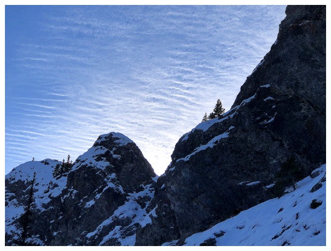
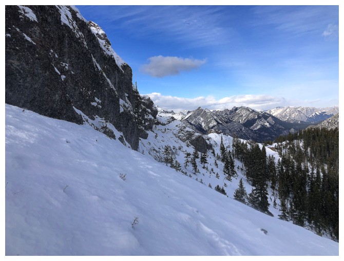
The terrain gets very interesting from this point on
And the view isn't too bad either
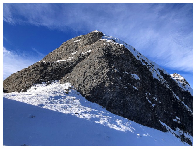
Passing by the highest of the two peaks
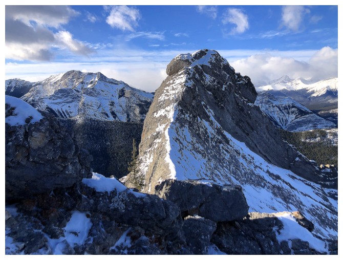
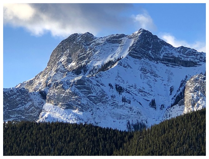
Same as above. Apparently this peak has been climbed up and down without a rope, but it is NOT a scramble.
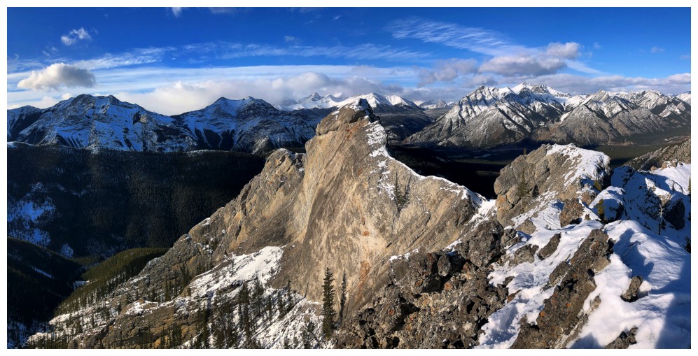
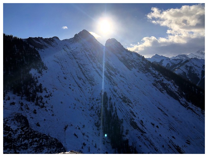
It's a stunning peak that the camera cannot ignore!
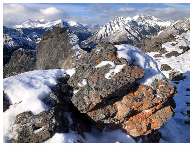
Nice to see some lichen
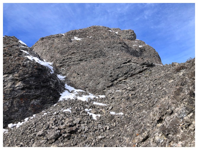
Bypassing a difficult section on the north side
The rock band that I would have had to downclimb had I not bypassed it
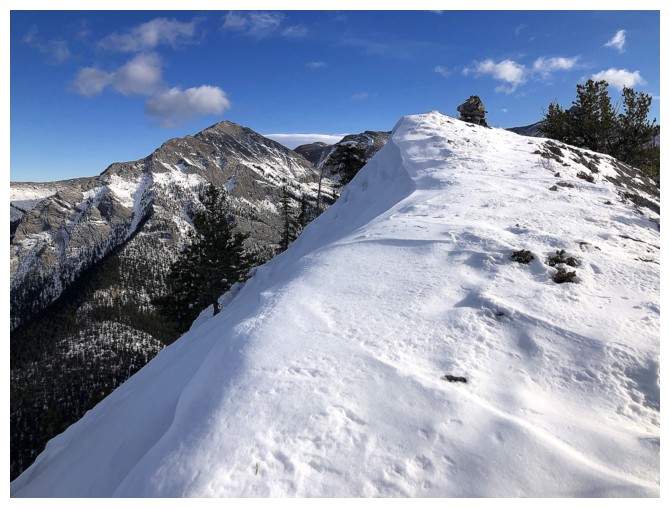
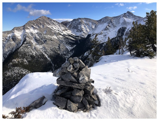
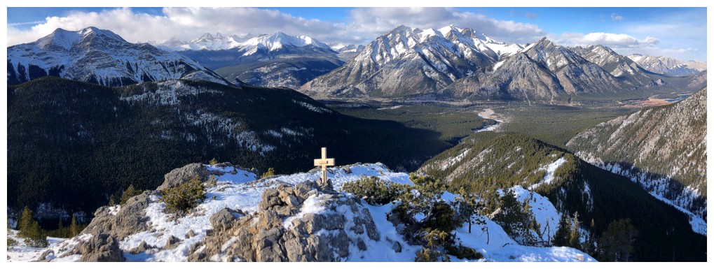
Summit cairn in sight
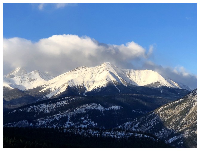
At the top. Tiara Peak at the right.

Southwest view
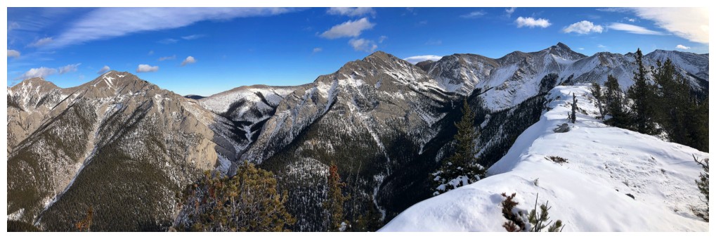
North to east view
Northwest
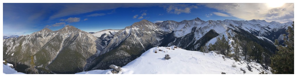
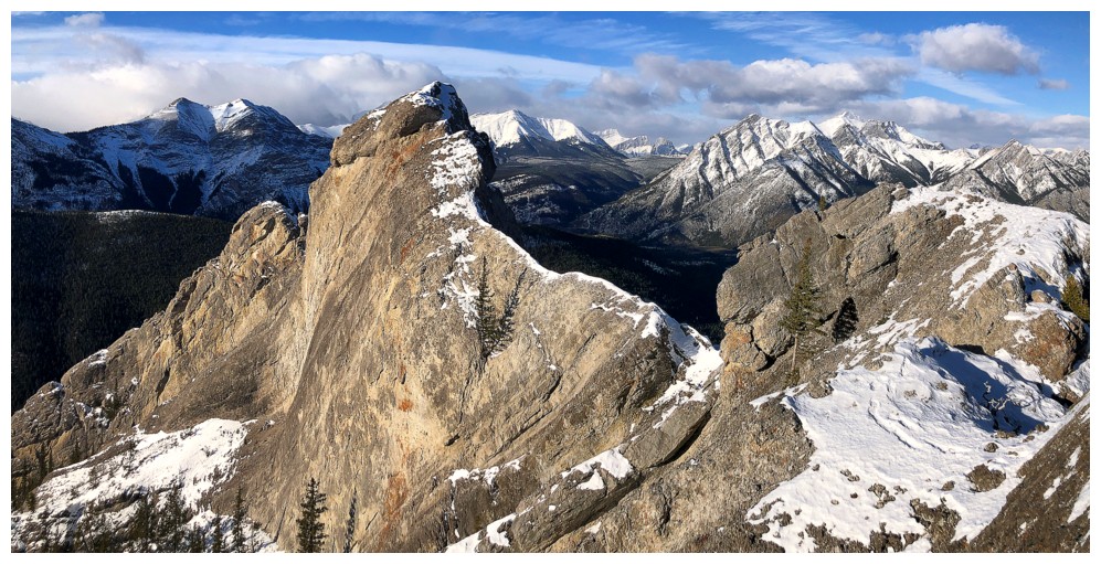
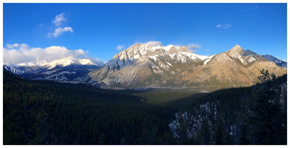
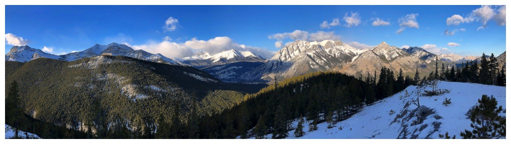
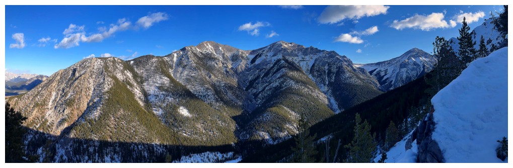
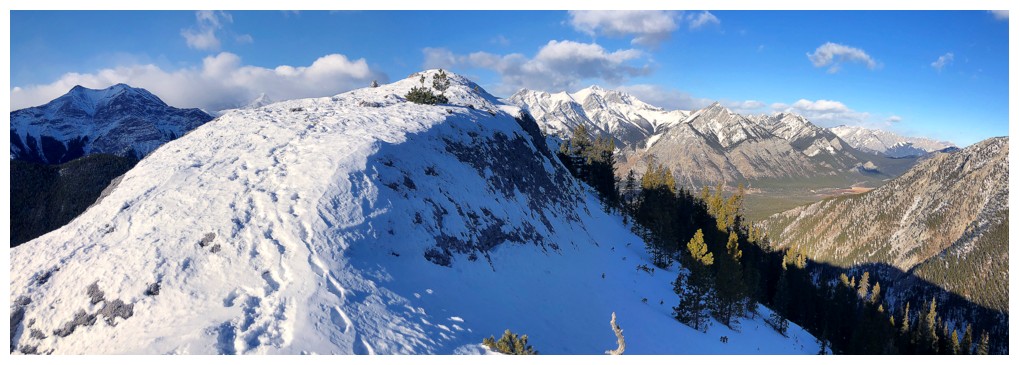
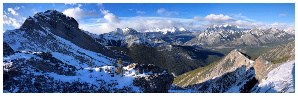
Big pano
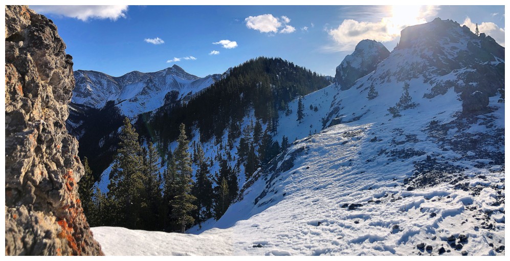
Looks like continuing along the ridge is possible
The Three Sisters
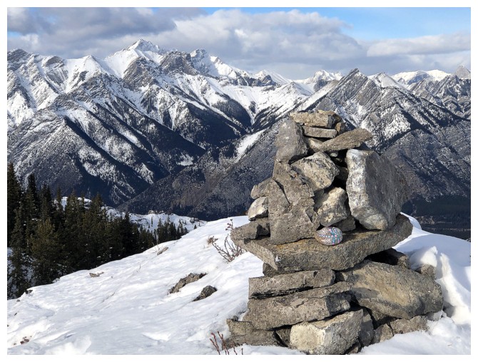
The big cairn
Heading back. Thought I'd try to upclimb that rock band...
...I chickened out and returned via the bypass route
Heading back to the ridge
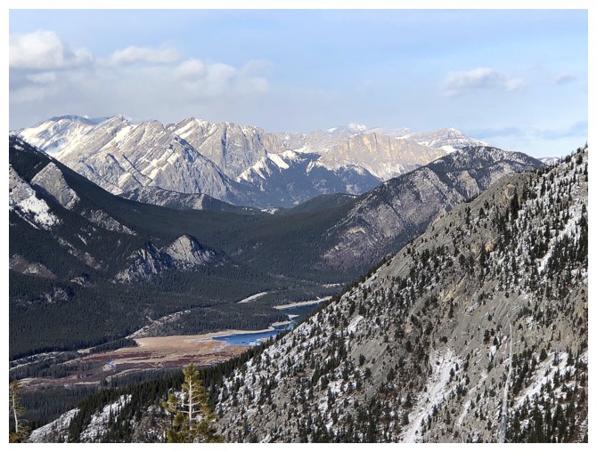
A sliver of Barrier Lake shows up
An informal memorial ahead
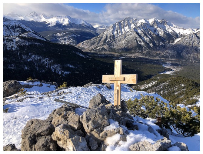
The tribute is to Canadian golfer, Corey Beaver, who sadly passed away earlier in the year
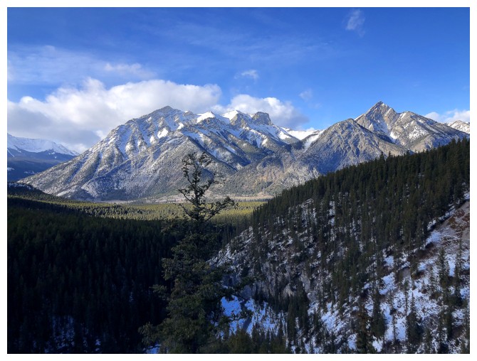
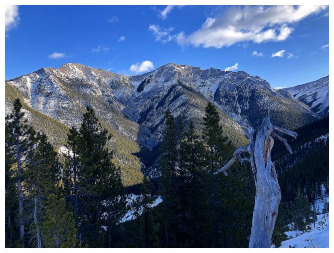
Lorette and Mary Barclay again
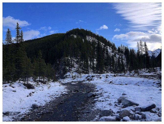
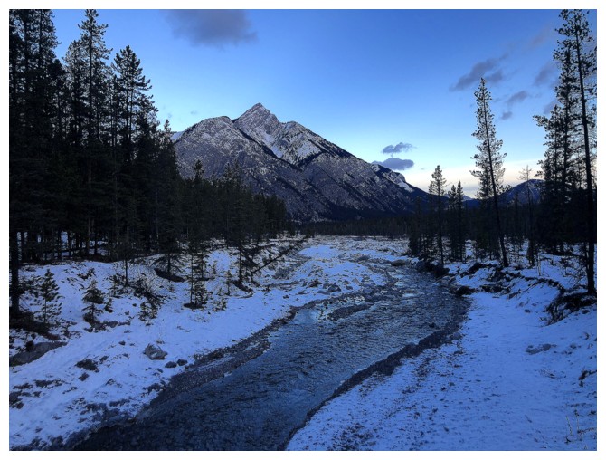
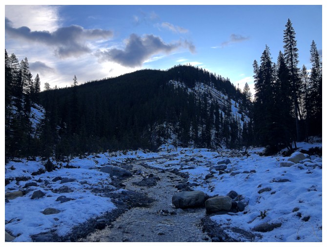
Back down to Porcupine Creek
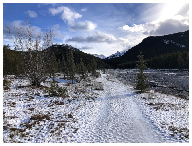
Hiking out
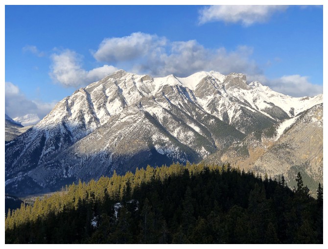
Mary Barclay looks impressive from this angle
Winter is upon us
Same as above
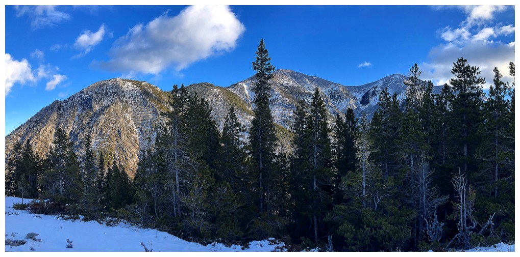
Parting look at the objective, just left of centre
The End
LOG