Prairie Bluff XVIII
August 8, 2021
Mountain height: 2258 m
Elevation gain: 670 m
Round-trip
time: 4:30
Solo scramble.
Note: this is actually Prairie Bluff XVI,
however, I forgot about the ascent until a similar trip in 2025 and I’m way too
lazy to change the numbering!
The objective for the day was to find an
ascent route up Prairie Bluff’s east face trending from the southeast to the
summit farther northwest. Mark and I descended the face in 2010, and though a few rappels were
required, we both agreed that the face had all kinds of potential for numerous scramble
routes.
Starting at the southeast side of the
mountain, I worked my way up to the face and then embarked on a fascinating and
scenically rewarding ascent – a tour de force of amazing, colourful rock, cool gullies, and lichen. The route I took ended up gaining a bunch of
elevation and then traversing north to a point right under the summit. I then
scrambled up easy ledges, popping up less than 20 metres from the cairn. The
only source of disappointment was a breakdown in the weather throughout.
Descent was via the reliable south ridge and
that’s all she wrote!
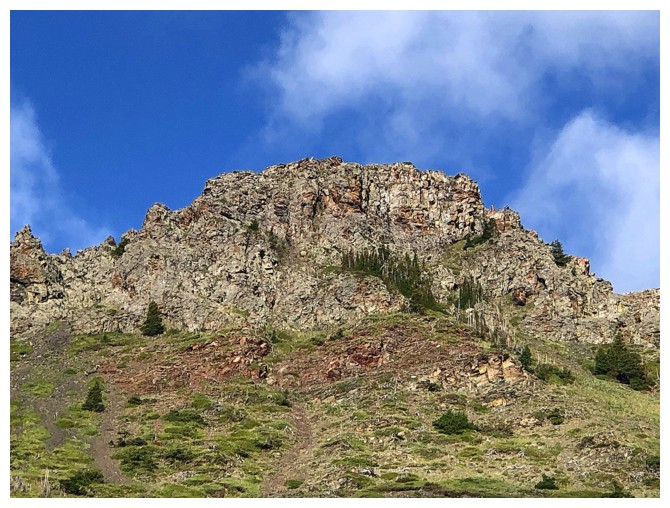
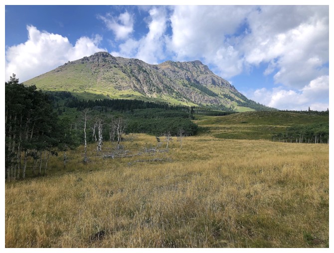
The southeast side of Prairie Bluff
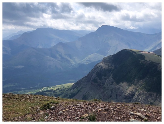
The east side of Prairie Fire - I've always wanted to explore that side of the outlier.
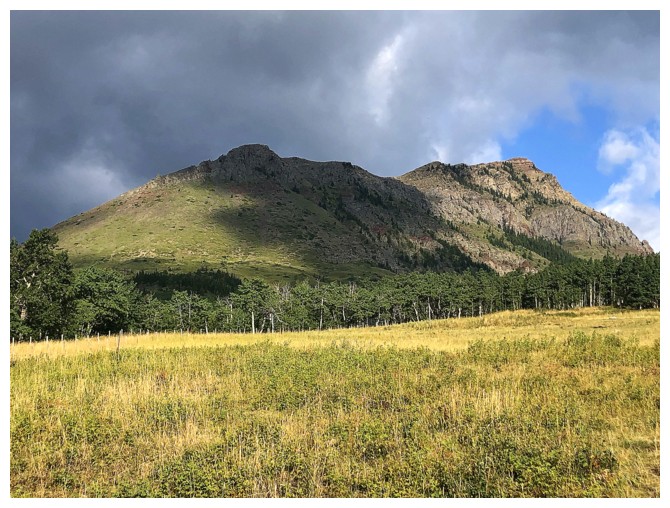
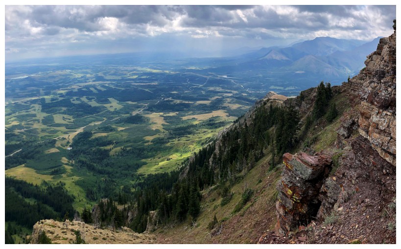
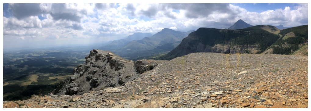
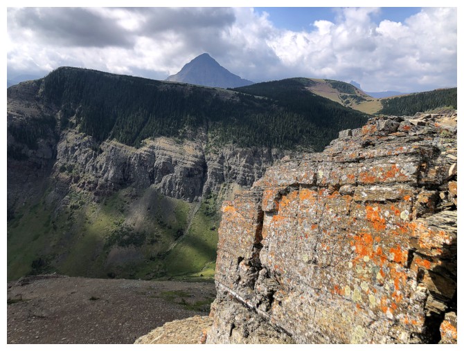
Pincher Ridge (right) and Drywood Mountain to the south
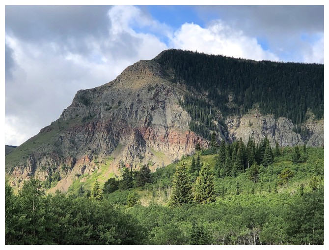
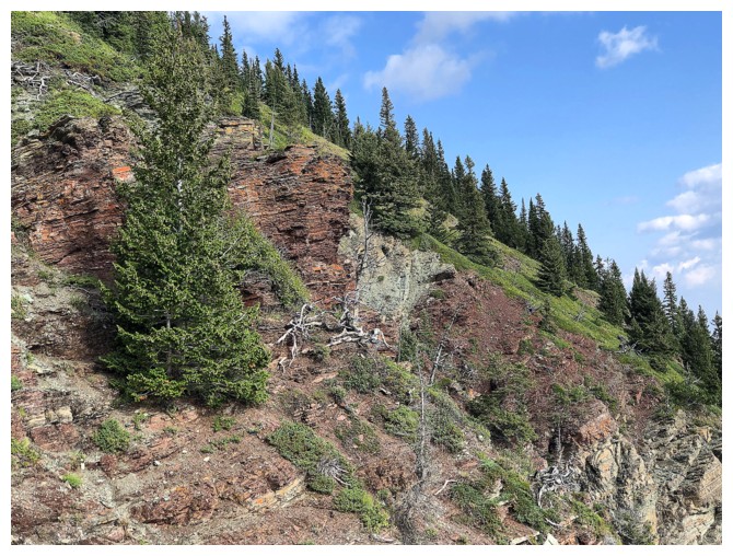
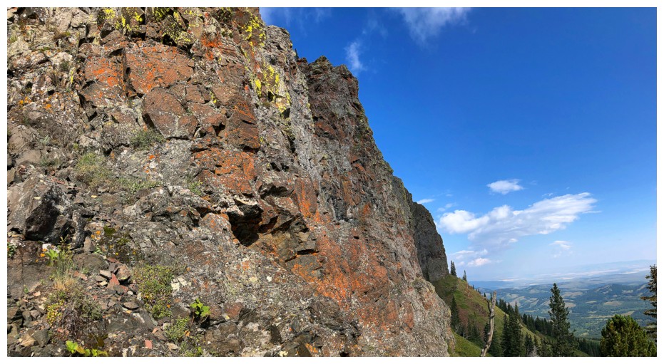
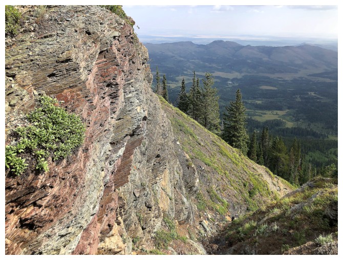
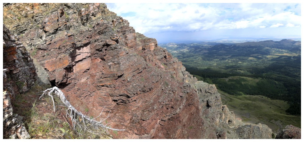
Colourful rock on the south end of the peak
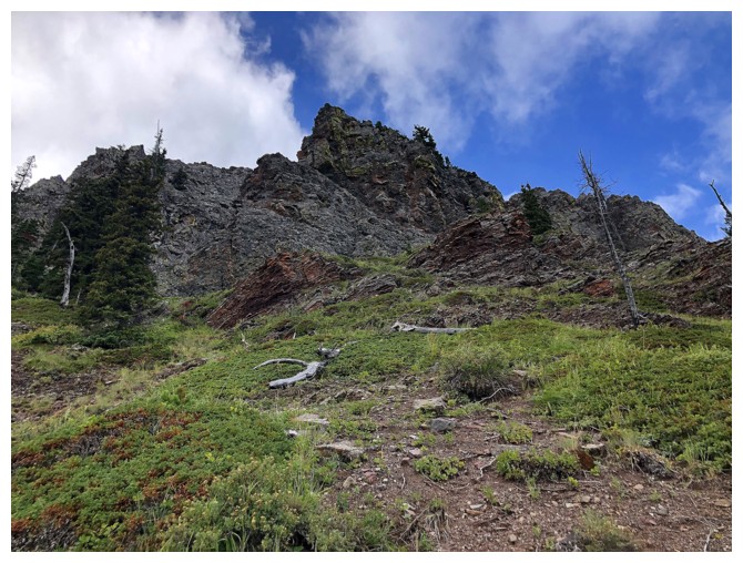
My route will eventually go somewhere up there
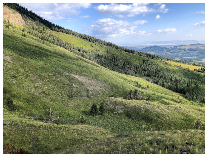
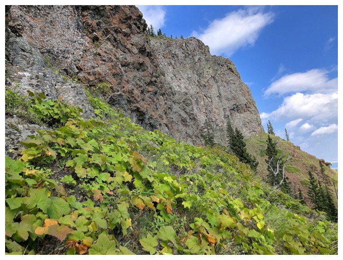
A few beautiful, green, grassy slopes to traverse first
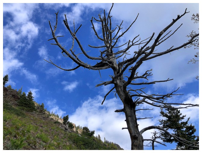
And of course the odd dead tree to behold
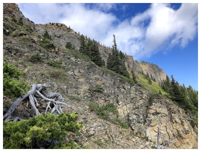
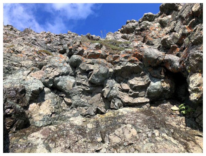
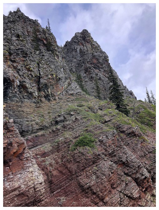
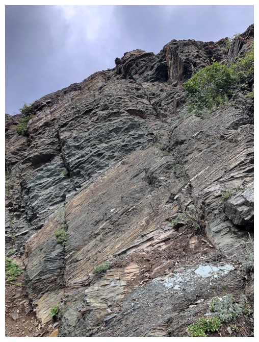
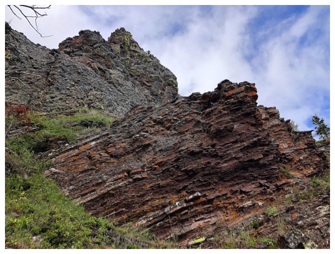
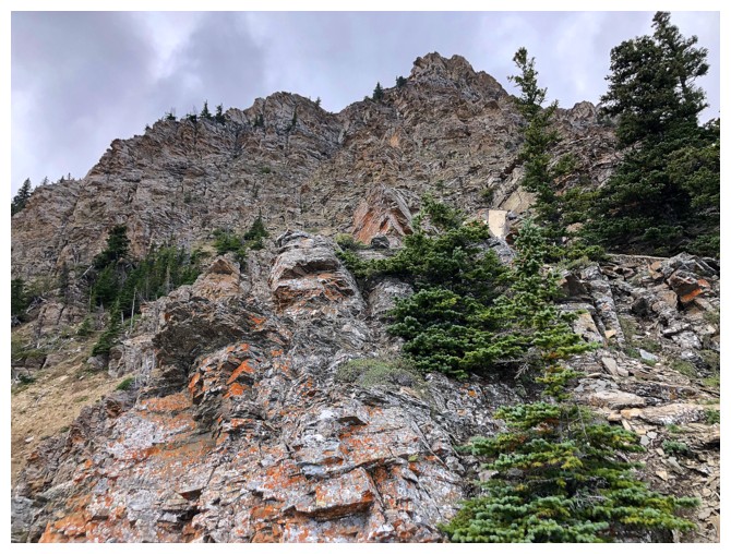
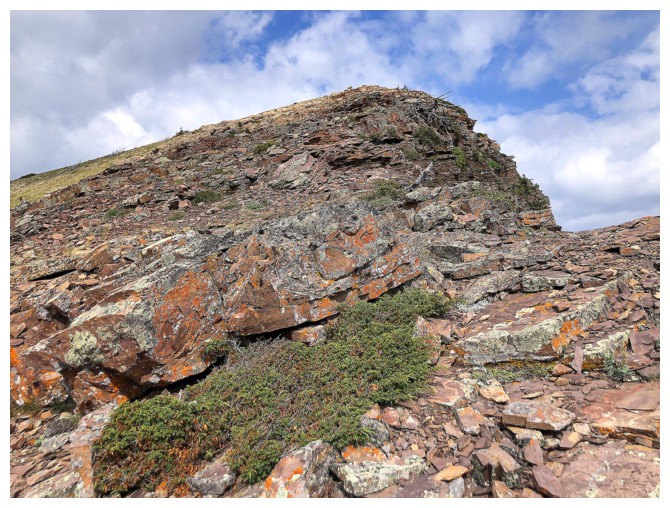
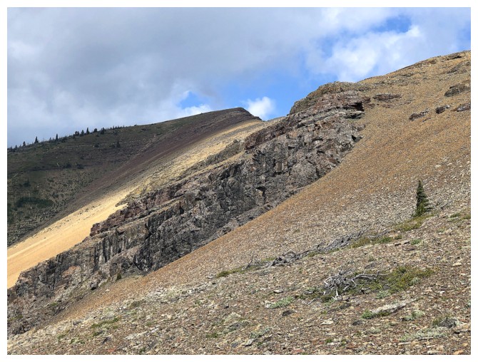
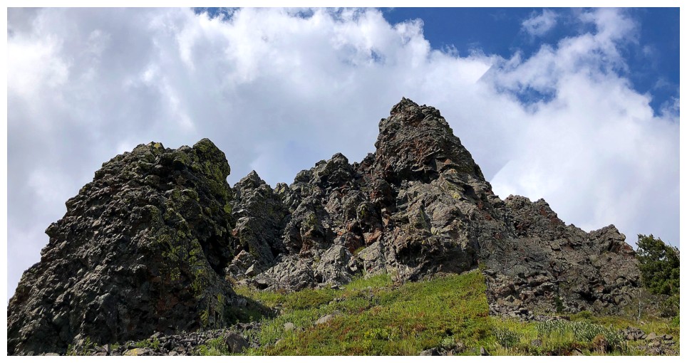
The first significant rock band
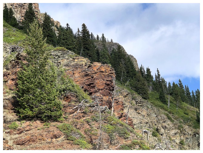
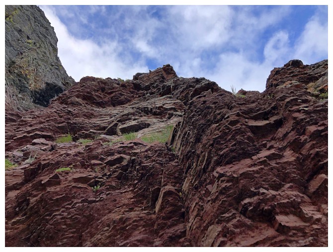
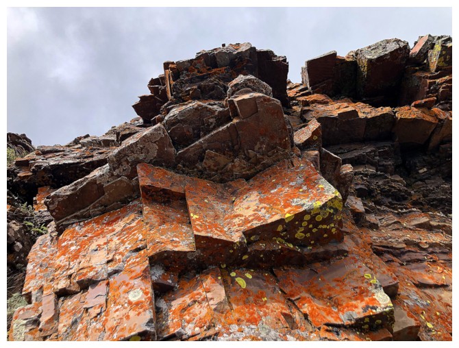
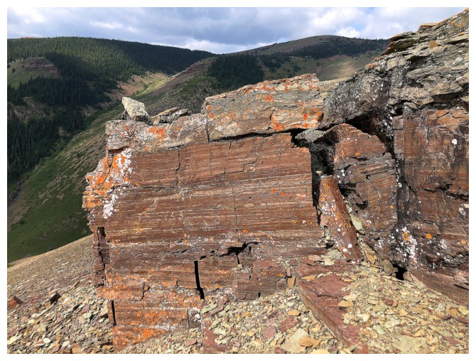
And the first significant red argillite sighting
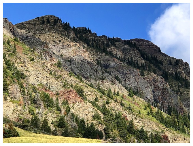
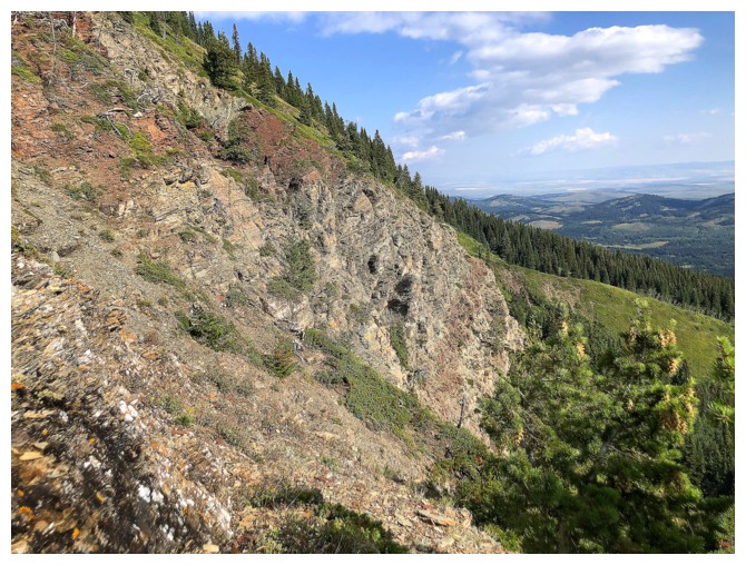
Gained elevation here to get above this band
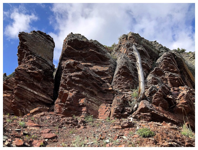
A good reason to gain elevation
And another
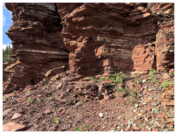
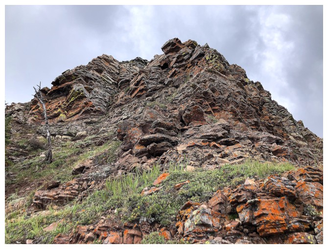
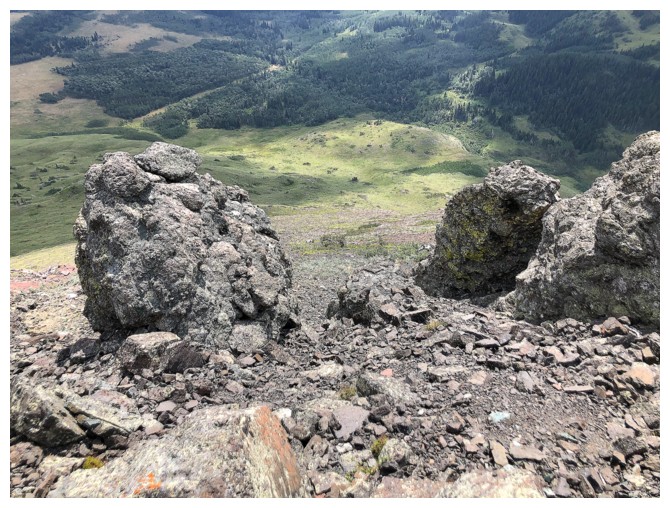
A ton of random scenes from the ascent
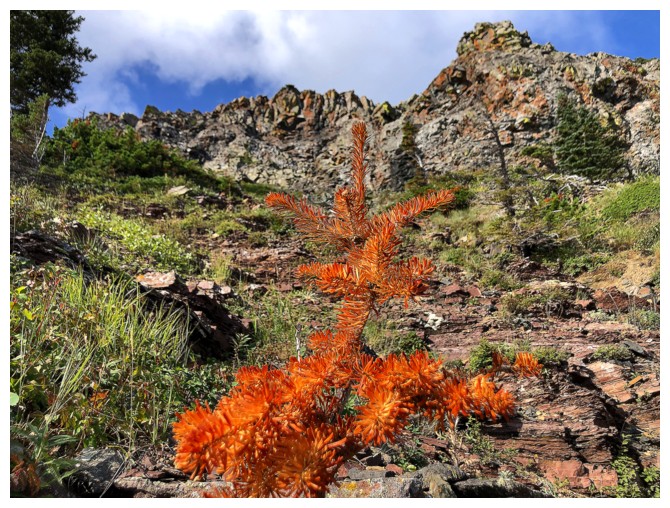
Something is dying
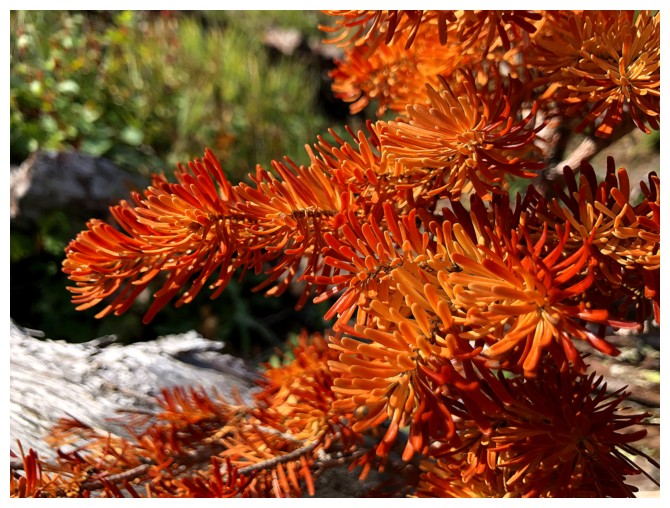
The beautiful colours of death

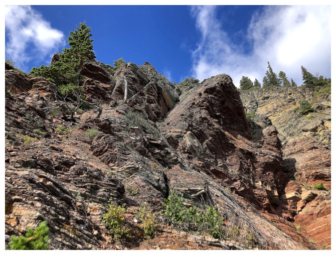
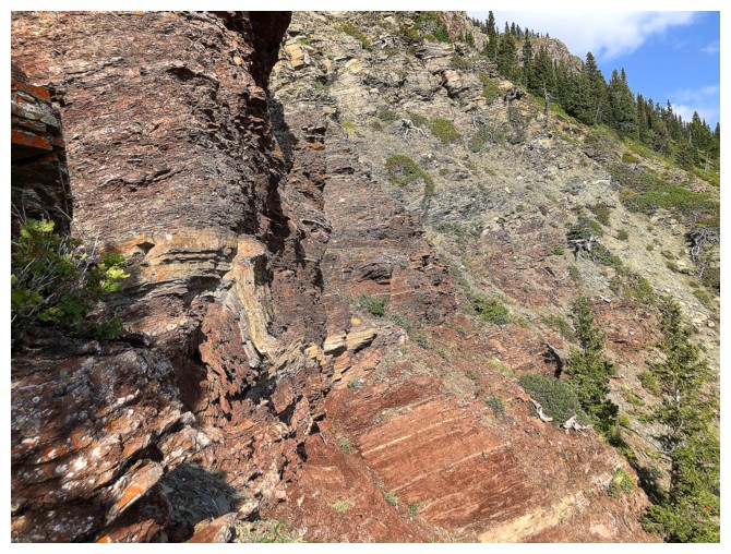
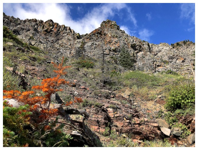
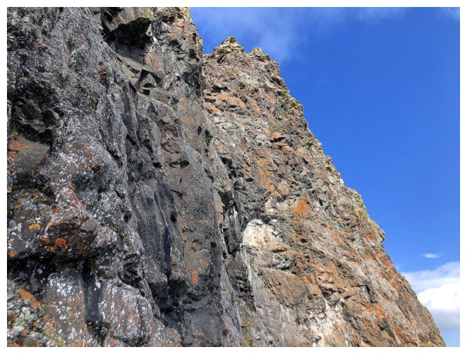
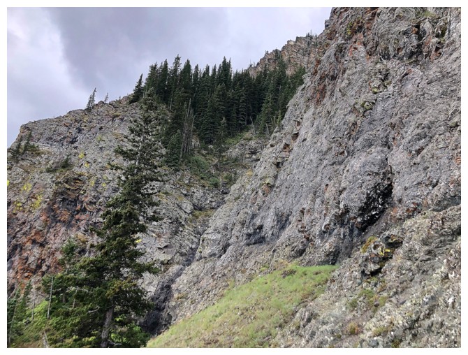
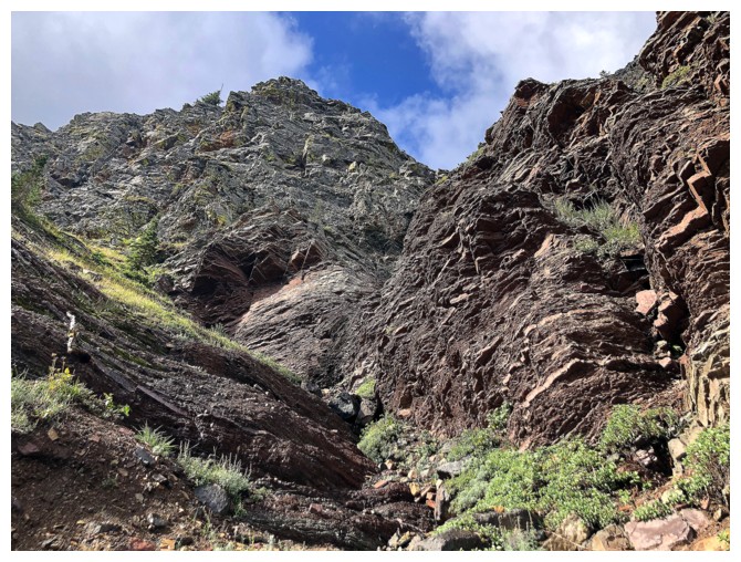
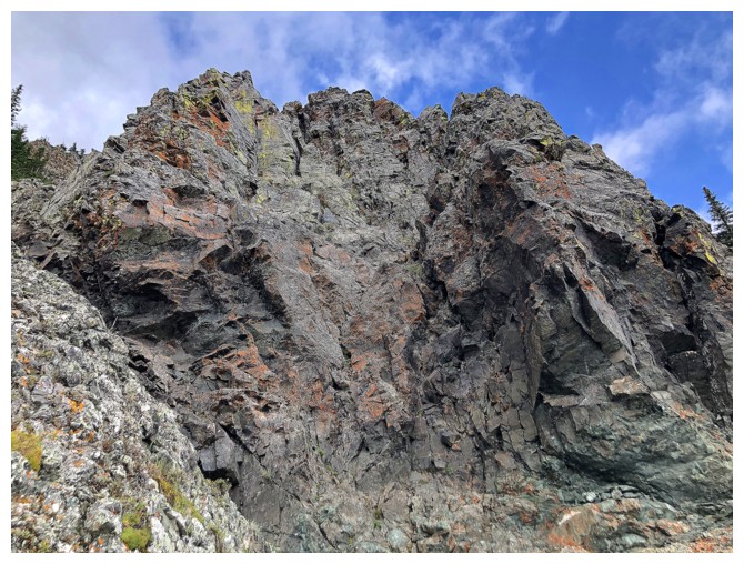
More traversing. I went beneath this formidable rock band
It was definitely cooler from below than above
Another green surprise
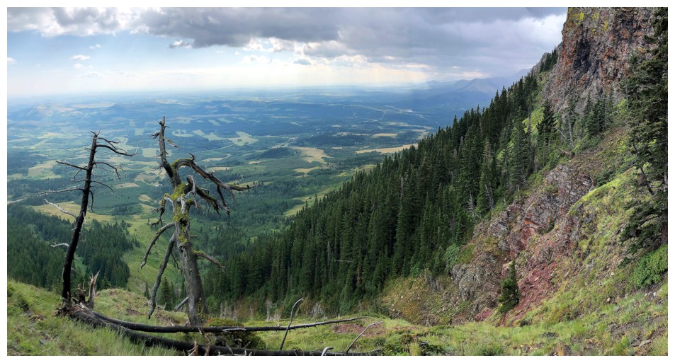
Cool trees at the left and ominous clouds coming in from the west
I thought about trying to get into the gully left of centre, but wisely reconsidered
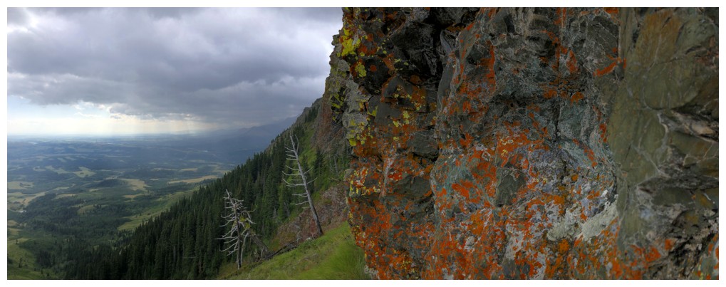
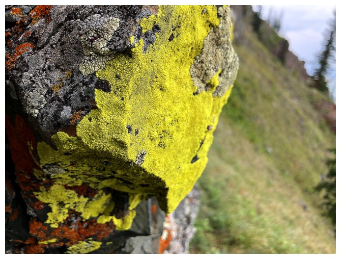
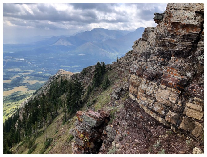
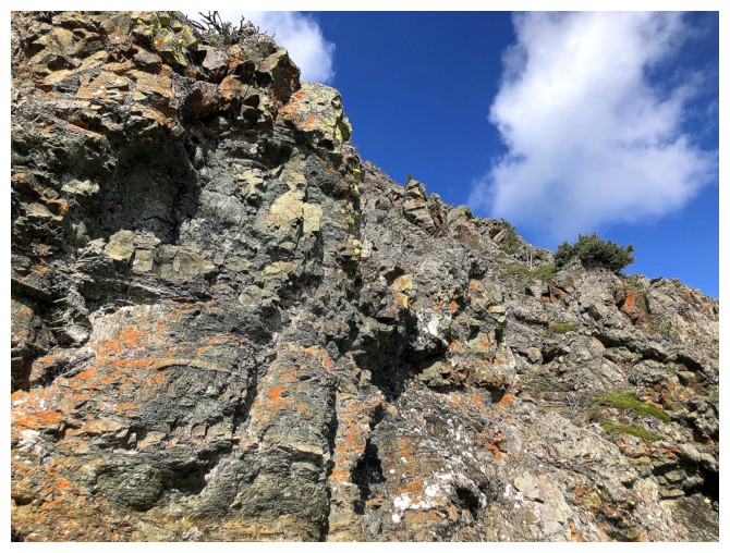
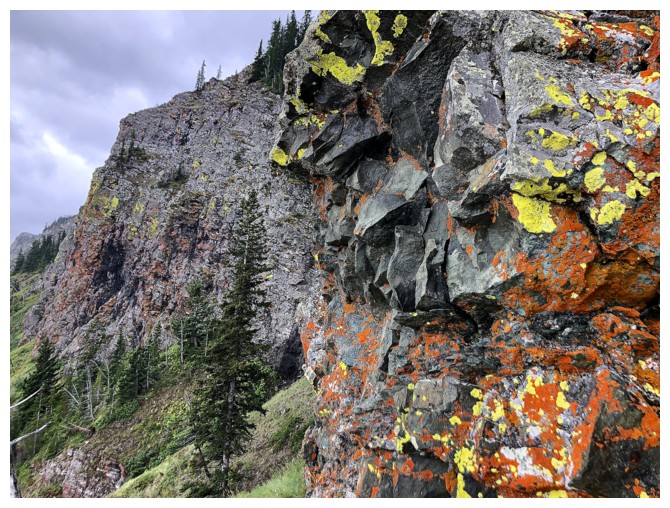
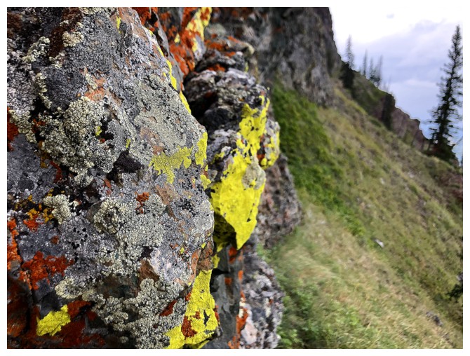
Lichen time
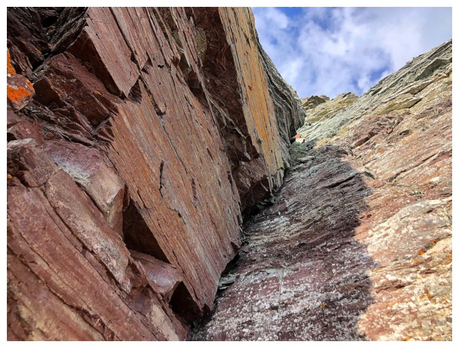
Passing by another gully

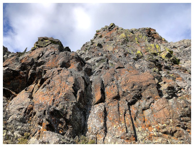
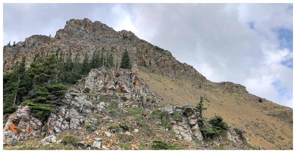
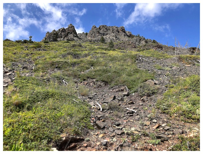
Getting closer to the summit ridge
This is part of the gully we ascended in 2025. Doesn't look too severe here, but it was with snow.
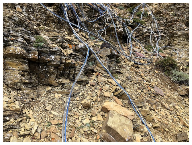
A mess of wires near the summit. No idea what they were for.
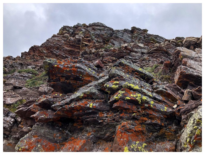
Lichen on argillite
Another familiar scene from 2025 at the base of the last couloir. From here we went to the right. On this day I went left.
Traversing around the left side
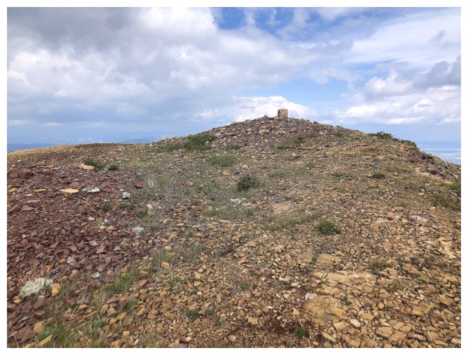
Delighted to see the cairn only metres away from where I gained the ridge
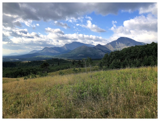
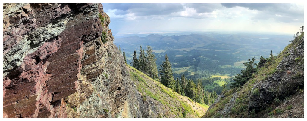
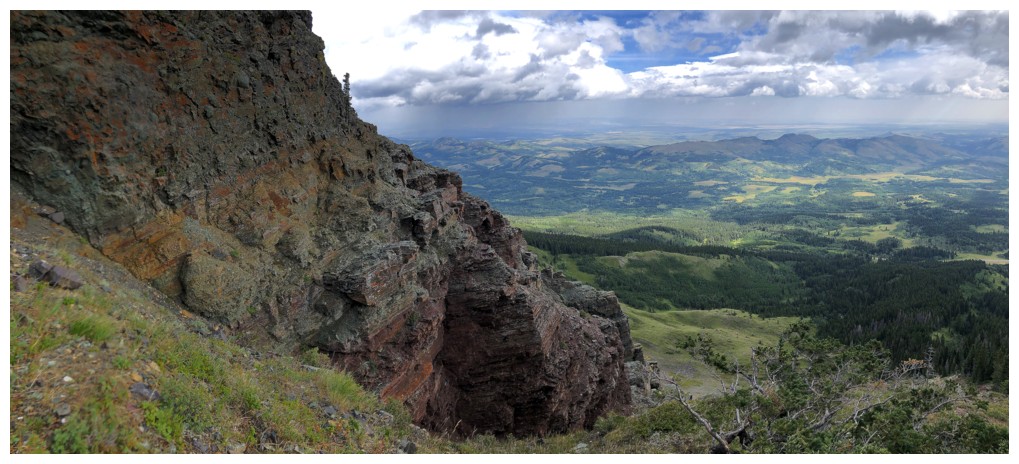
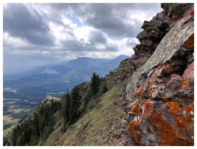
More ominous views to the west, with Castle Peak at the left and Mount Gladstone at the right
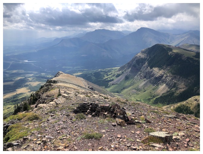
Drywood, Pincher, and Fire again
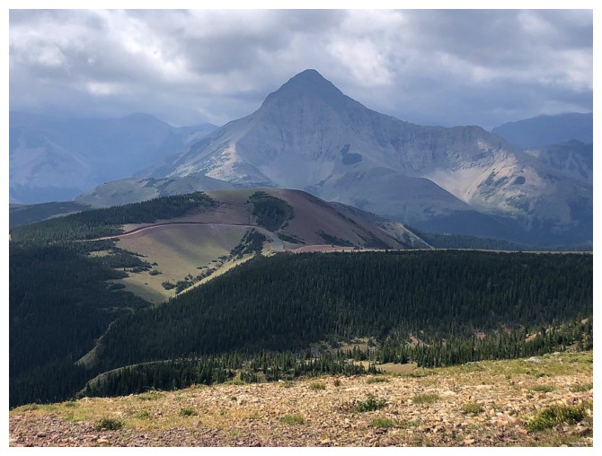
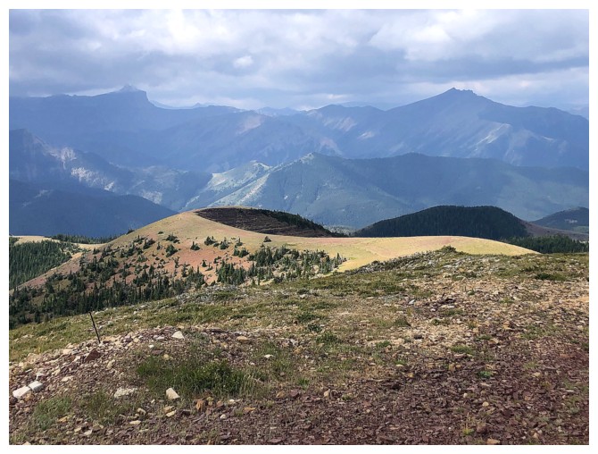
Victoria Peak is always the most eye-catching from the summit
Heading down the south ridge
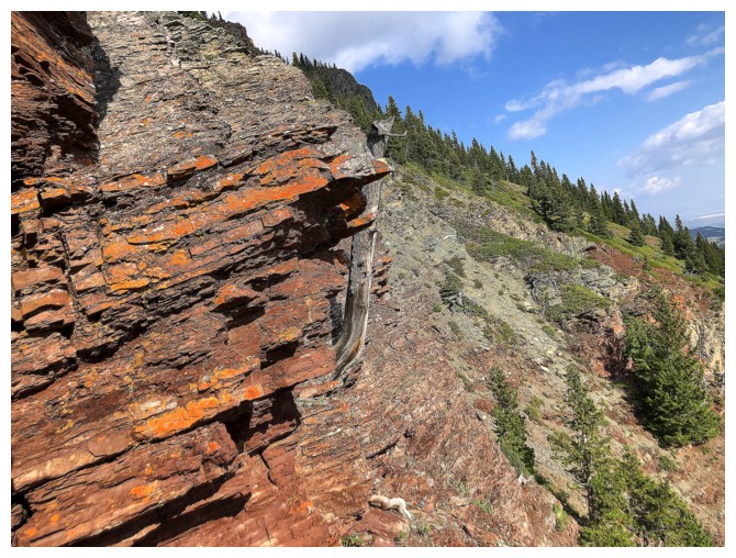
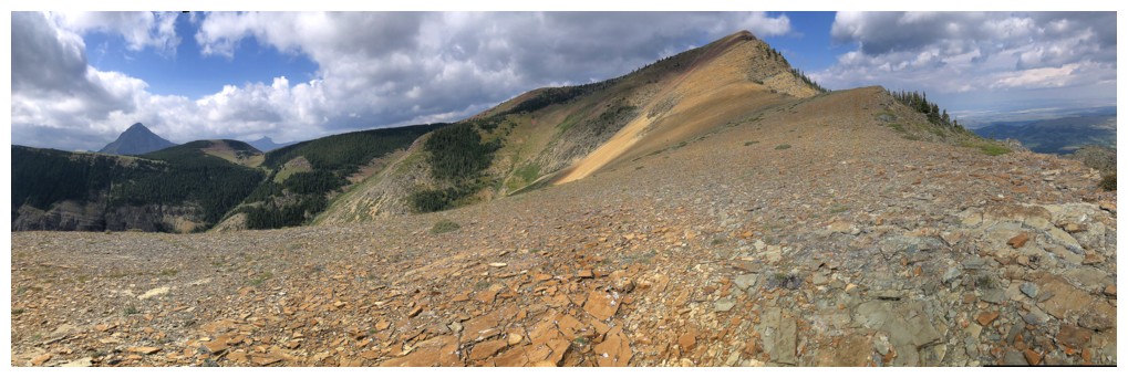
The south ridge is a colourful one
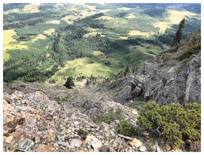
Looking down a potential descent route
Decided to go all the down to the end of the south ridge
Looking back to the summit
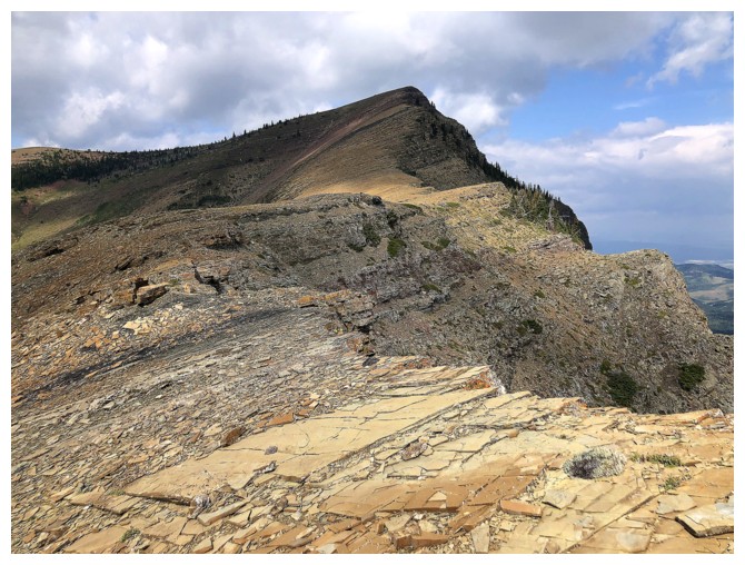
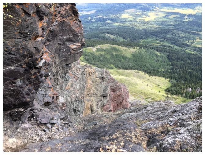
Interesting rock band on the west side of the ridge
And at the south end
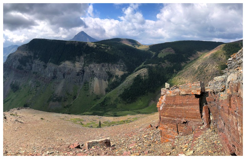
Looking back at the general route
The End
LOG