Ramp Peak
Quartzite Peak
September 7, 2023
Mountain heights: 2885 m, 2869 m respectively
Total elevation gain: 1540
m
Round-trip time: 8:35
Solo scramble.
A disappointing
day because of the disappointing weather.
Things started
off well, but interesting clouds forming to the west soon grew into
non-interesting clouds that very much put a damper on the potentially spectacular views. The seemingly
endless and steep rubble slogs up both mountains also contributed to my somewhat
lacklustre reaction to the trip overall. It’s easy to see why many do these
trips when snow thoroughly covers the user-UNfriendly terrain (though there
would be significant avalanche concern).
Given that
nearby and much higher Mosquito Mountain sports the best view of the trio, a
return to Ramp or Quartzite is unlikely but I’m glad I did both. If you have
done the higher mountain, the two lower ones are more than worthwhile, simply
because of their location in the stunning Mosquito Creek area – just pray for
clear skies!
The first open view of the trip features one of the unnamed outliers of unofficial OXO Peak. I call it "O Peak".
Close-up of O Peak - definitely one of the best winter-like ascents I've ever done
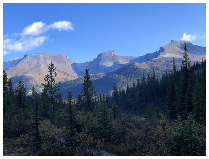
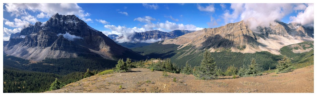
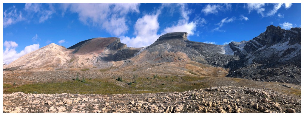
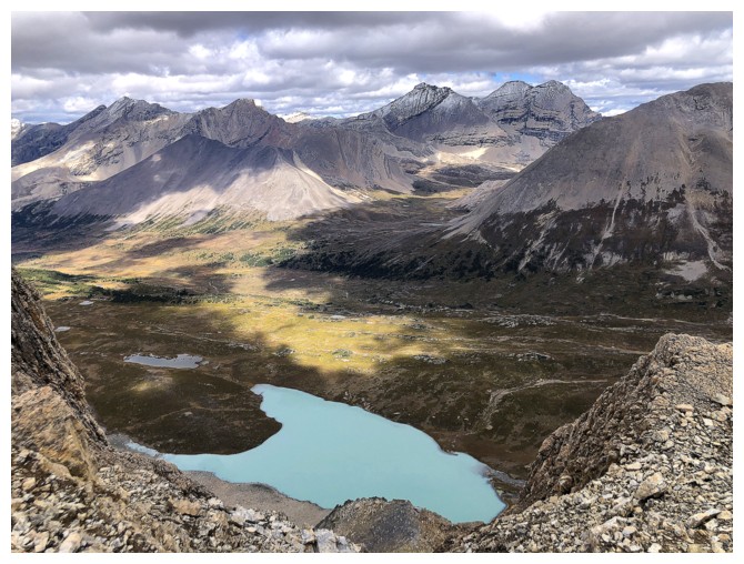
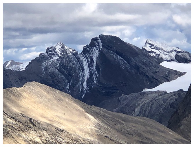
The familiar trio of Quartzite, Ramp, and Mosquito
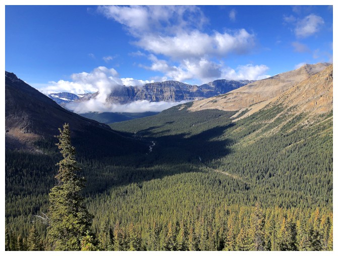
Gaining elevation on the south ridge of Mosquito Mountain and looking back to the "interesting" clouds forming to the west
Same as above
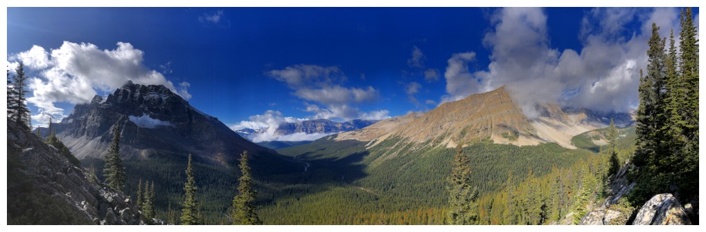
The trio again
The clouds on O Peak
Mosquito - a great trip winter or summer
The clouds are looking less interesting over The Fang (left) and Molar Mountain (right)
But I'm still optimistic that they haven't inundated skies to the west (yet!)
Still gaining elevation on Mosquito's south ridge
Gained too much! Had to lose elevation here to the left.
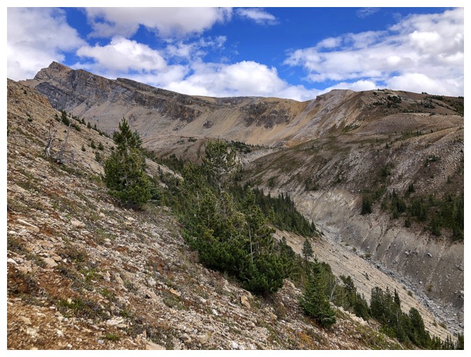
Down into the correct valley for Ramp and Quartzite
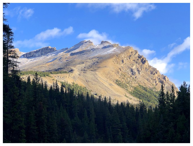
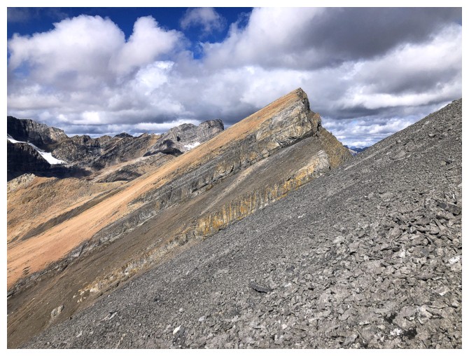
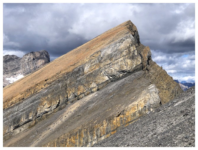
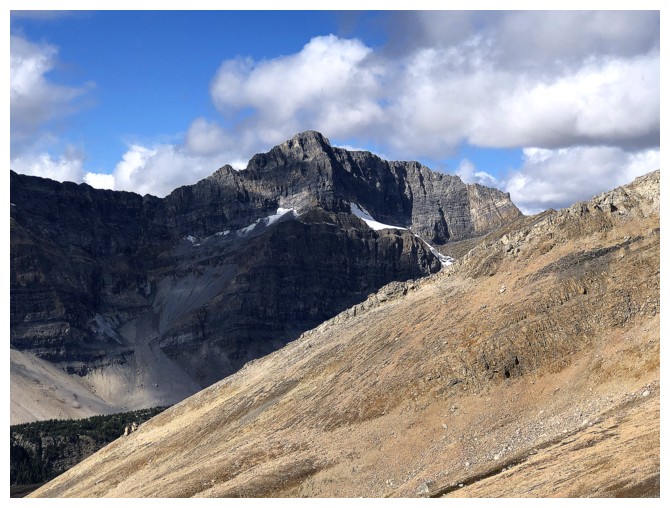
Quartzite is a very colourful mountain
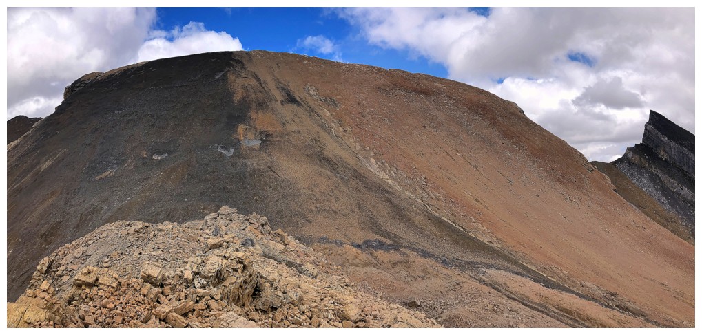
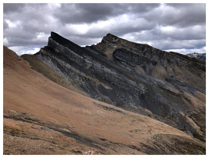
Ramp is not as colourful not still looks intriguing (until you start the ascent!)
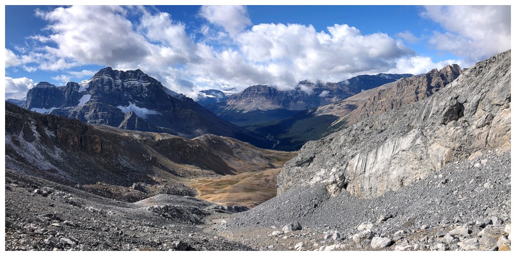
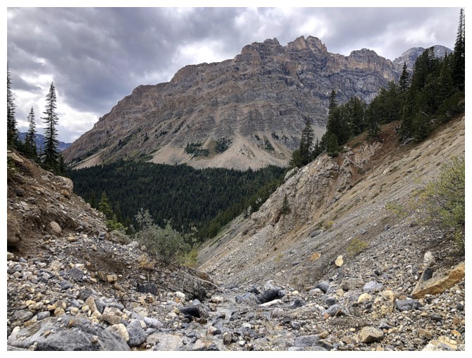
Looking down the ascent valley
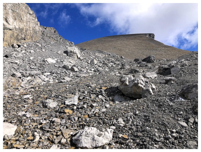
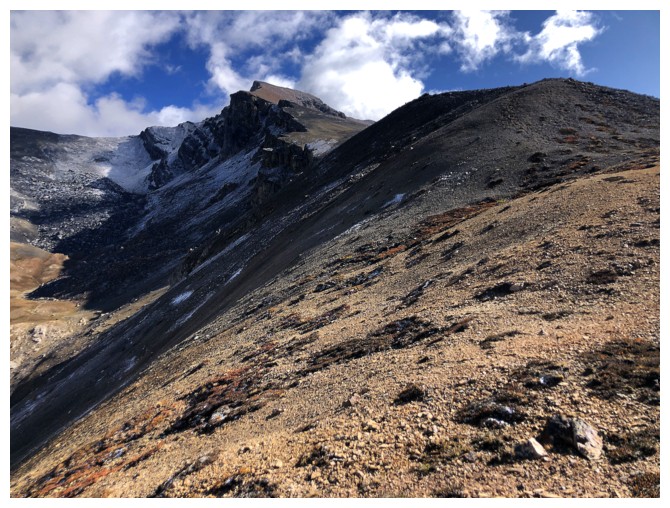
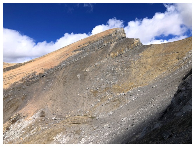
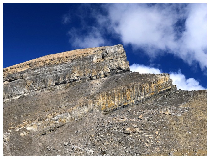
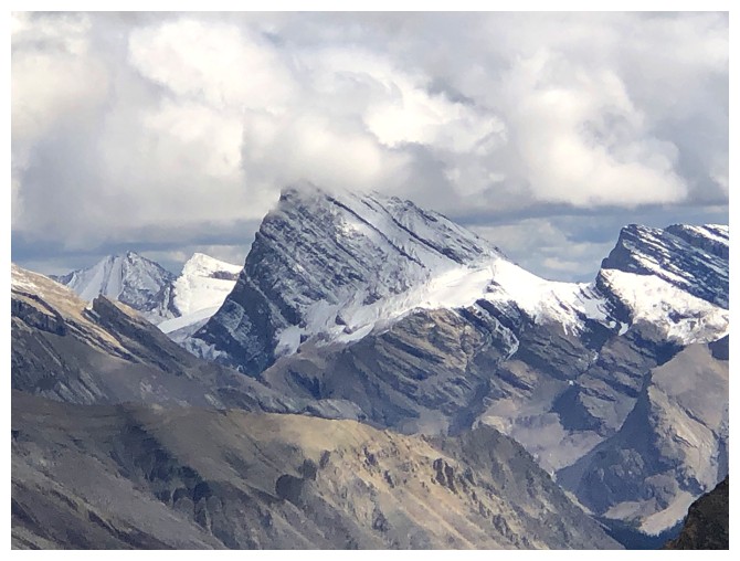
Looking up Ramp Peak
Same as above. The intrigue is gone!
The north side of Mosquito
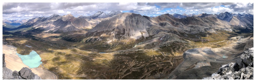
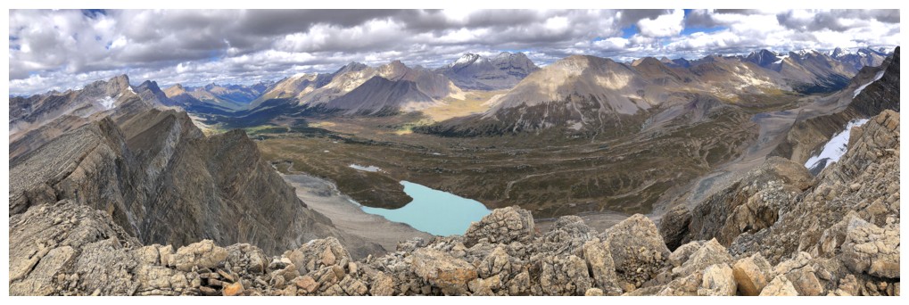
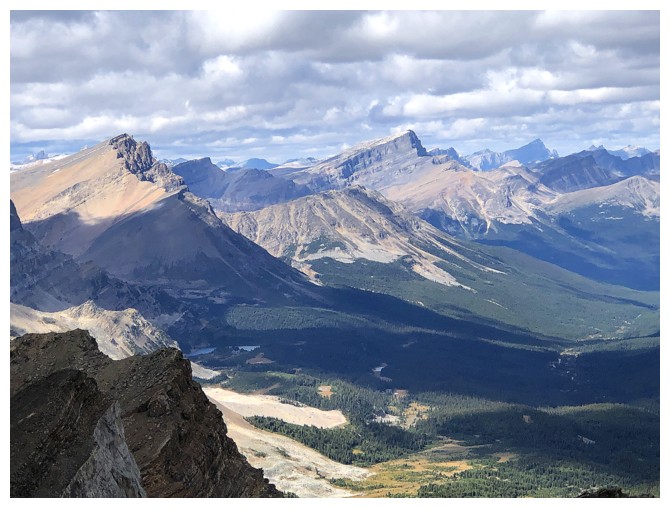
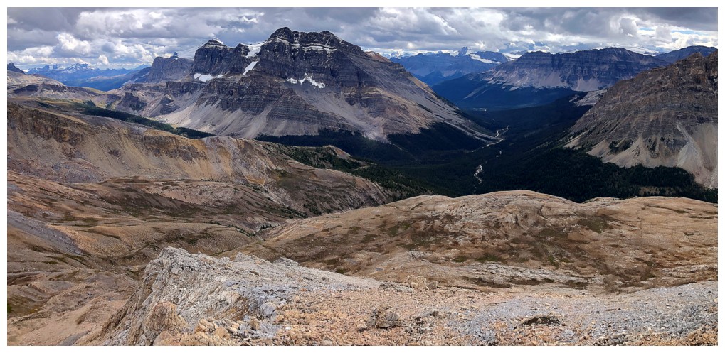
View to the north, northeast, east, and southeast from near the summit
Summit is a few steps away
View to the southeast
View to the northeast. Devon Mountain at the right.
Two fantastic trips farther north: Watermelon Peak (centre) and Bobac Mountain (right)
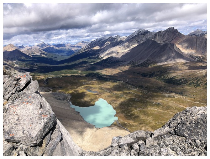
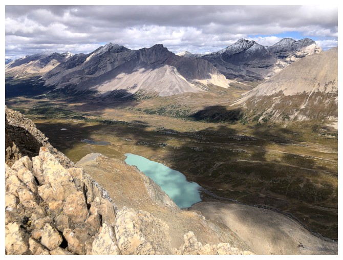
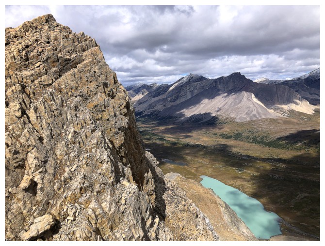
Beautiful, unnamed tarn in the valley below
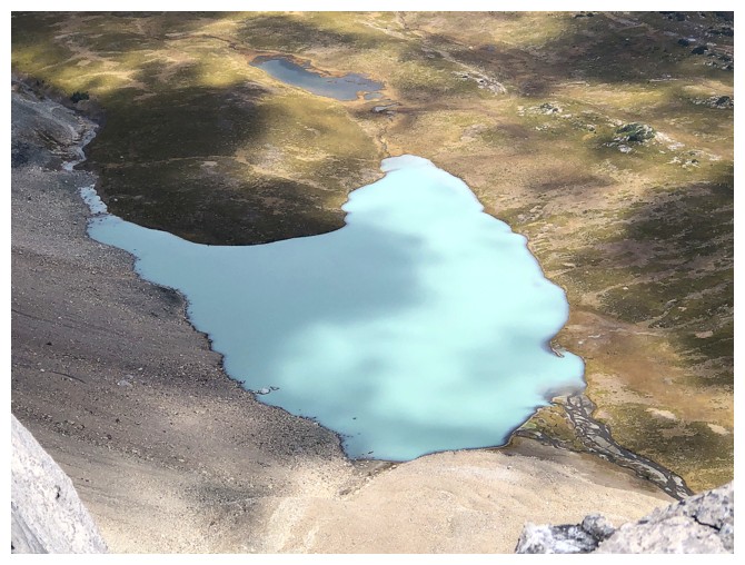
Close-up
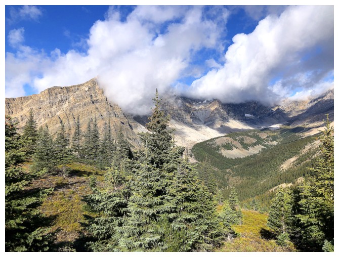
Looking depressingly ominous to the southwest now. So much for my optimism!
The summit view is still pretty remarkable even with the clouds
Similar view as I descend Ramp's northwest ridge
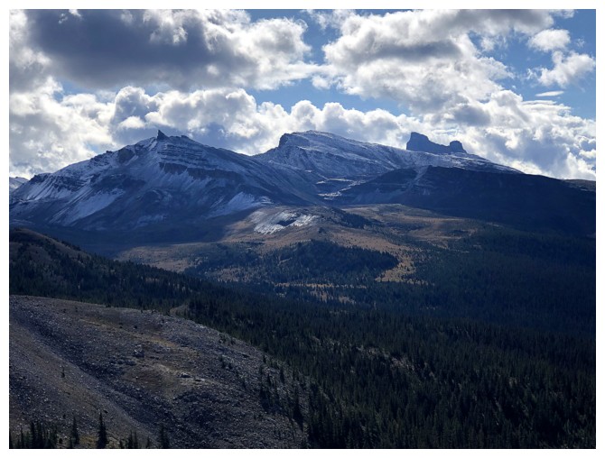
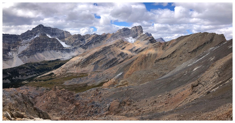
There's the next objective - Quartzite Peak
Obviously, a direct scrambling route to Quartzite does not exist
OXO
OX
O
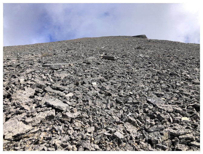
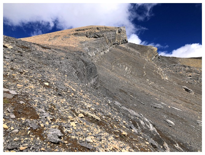
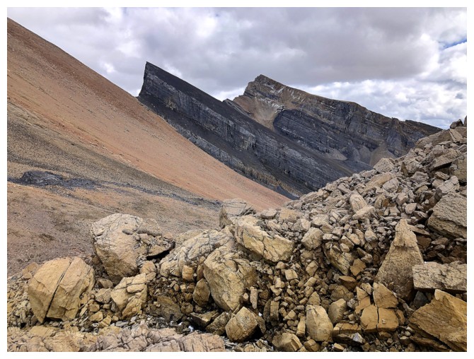
Still losing elevation on Ramp
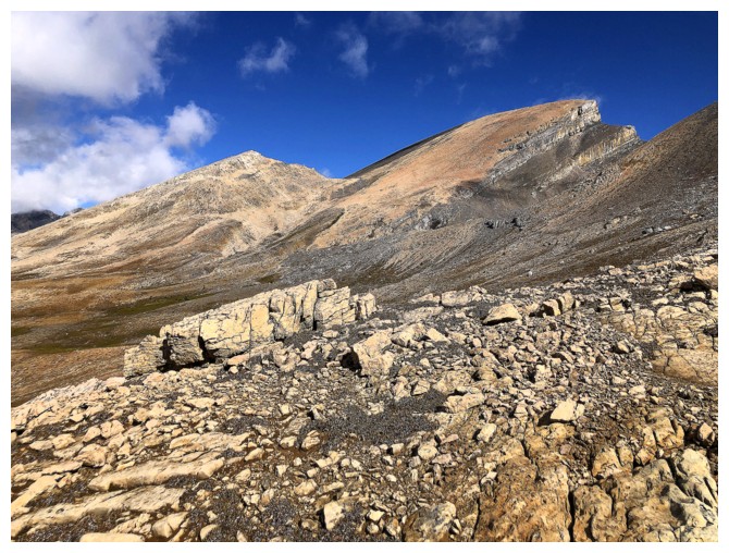
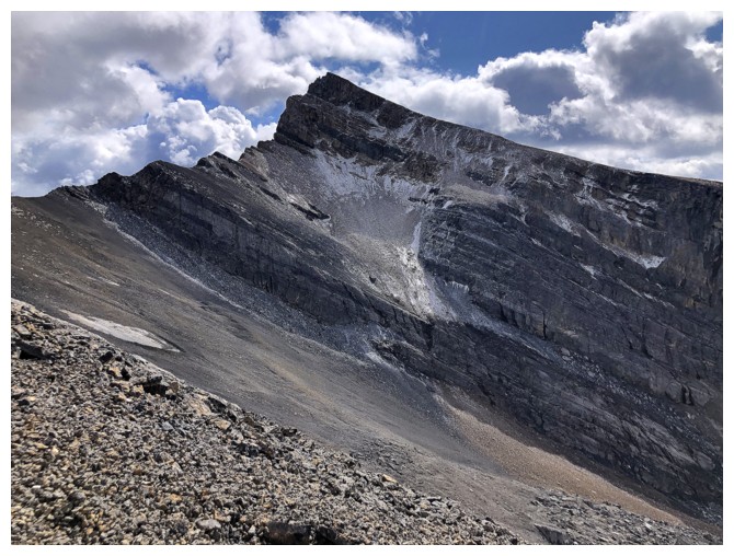
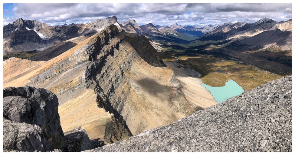
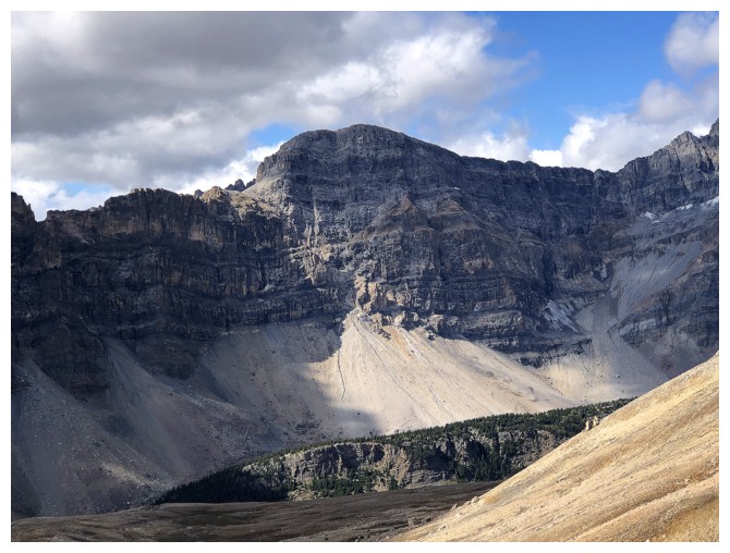
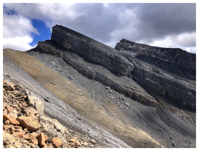
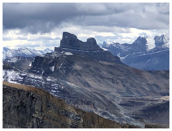
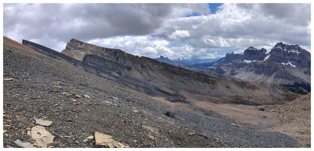
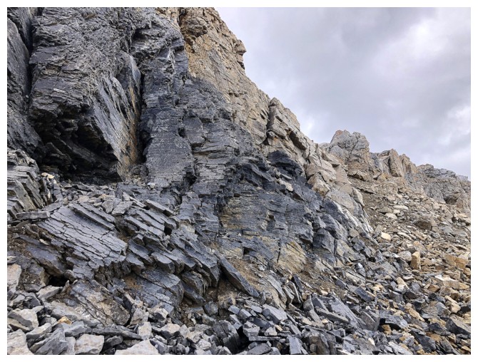
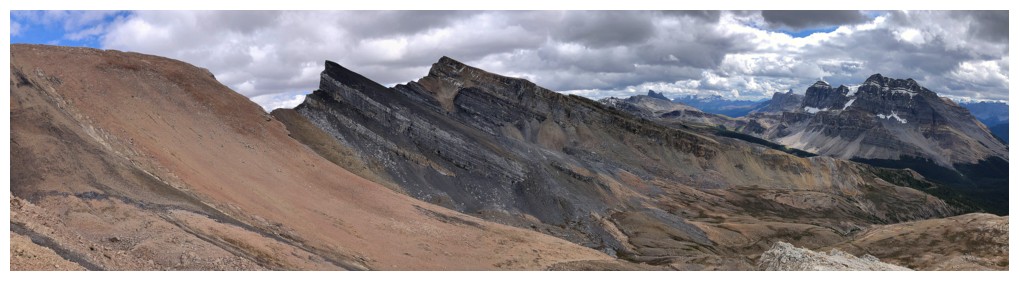
The striking southeast side of Quartzite
Almost on the southeast ridge
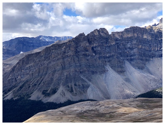
Looking back at Ramp and Mosquito
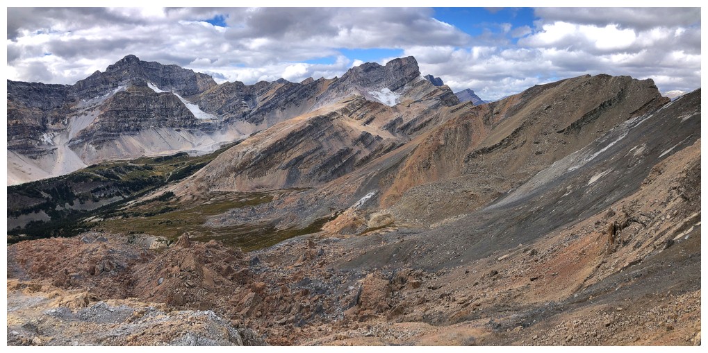
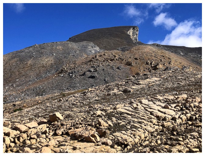
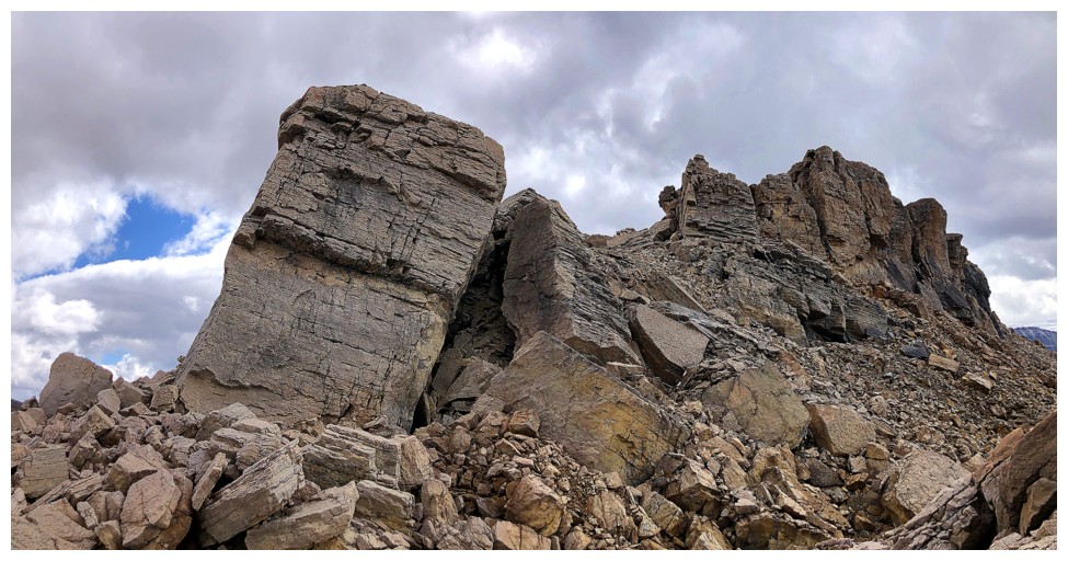
The slog up the southeast side (left) is exactly that - a slog!! And where's all the quartzite???
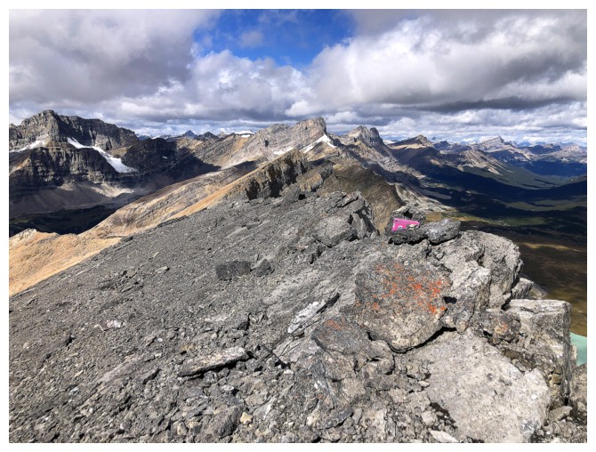
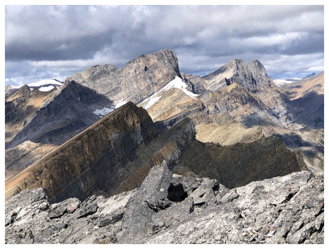
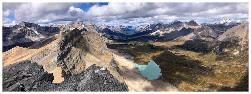
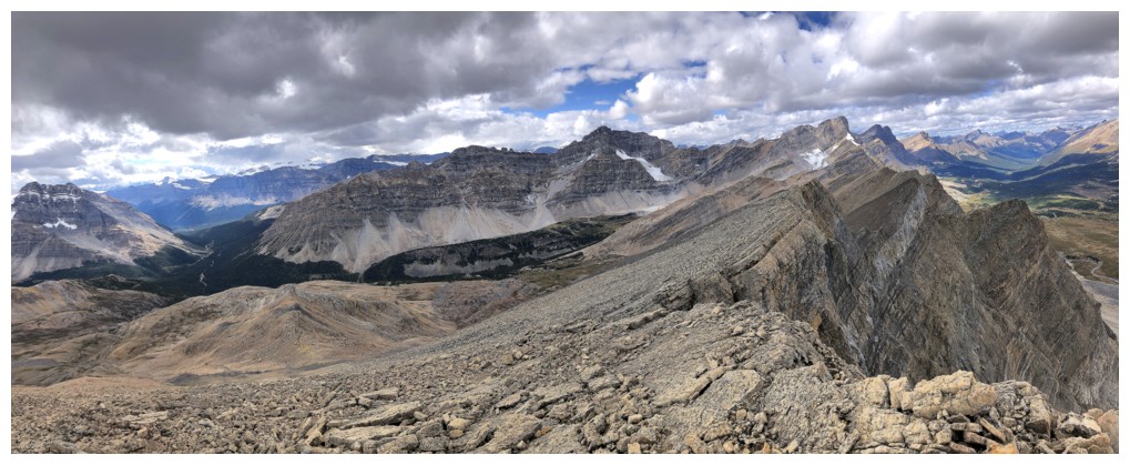
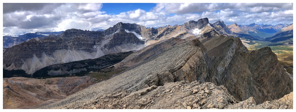
View from the summit ridge
Precipitous views over the east side
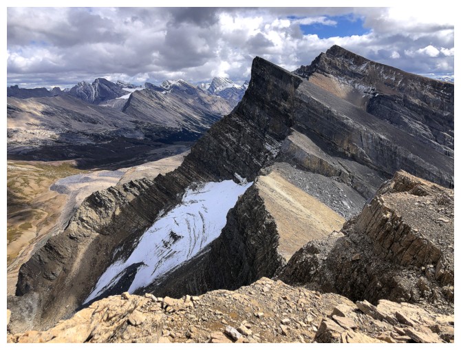
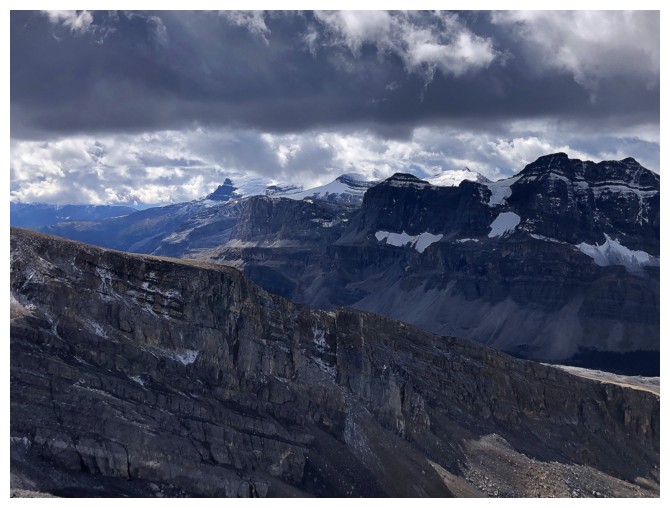
There is a glacier still hanging onto life on the northeast side of Ramp
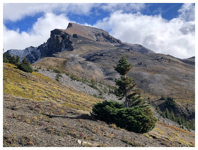
The hike to the summit was very enjoyable
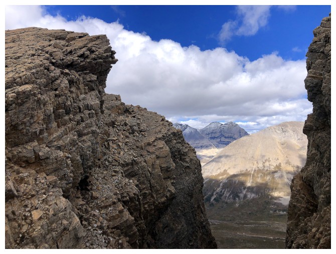
And had several interesting features, like this gap
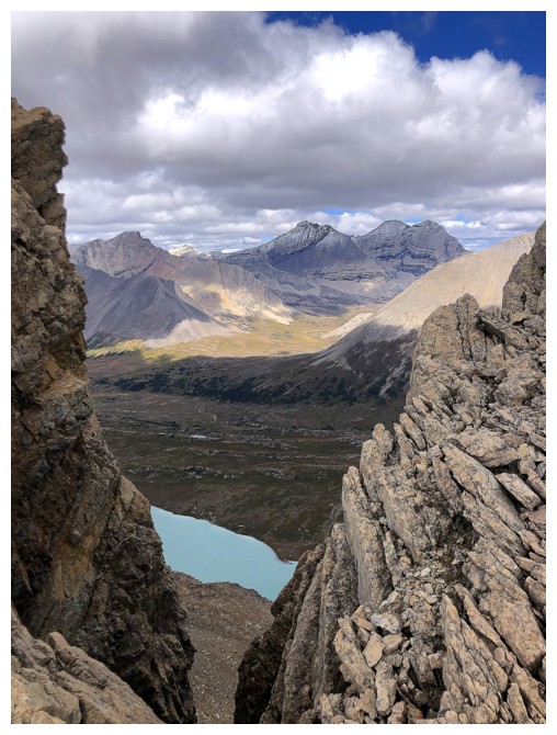
The Willingdons and the tarn can be seen through the gap
And not through the gap
Would have loved to see all this with clear skies
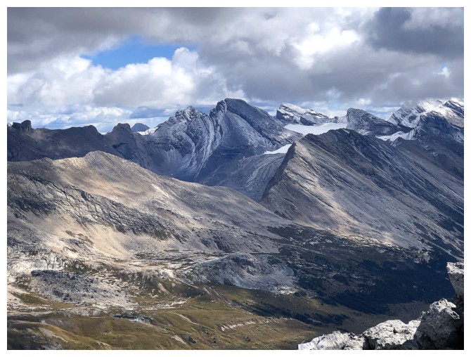
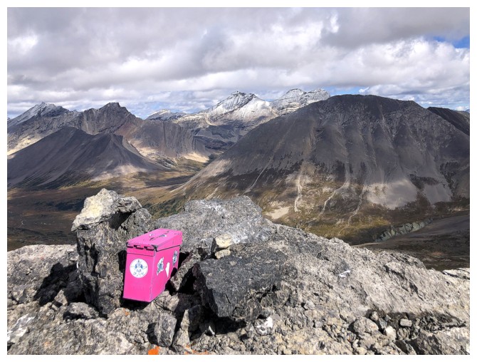
Summit view 1
Summit view 2
Summit view 3
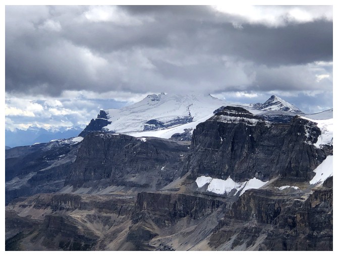
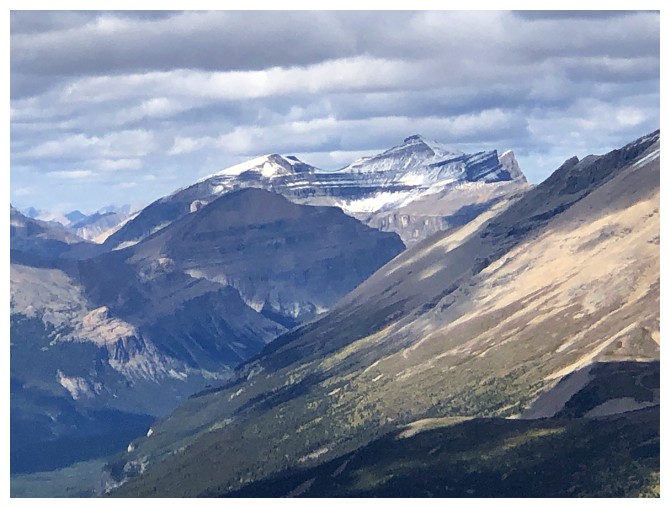
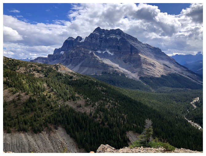
The summit of Mount Hector is hidden in the clouds
An array of intriguing peaks to the northwest
And northeast
The Willingdons
Deluc Peak
Cataract Peak
Molar Mountain
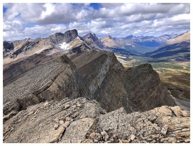
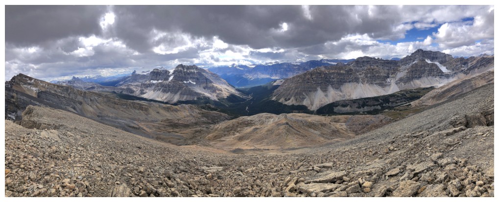
Looking northwest along the ridge
Another pano
And one while descending
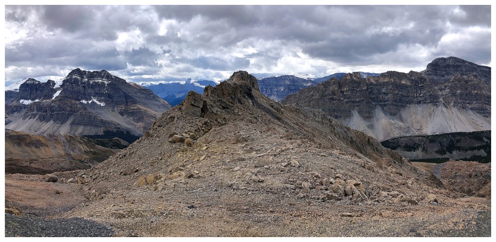
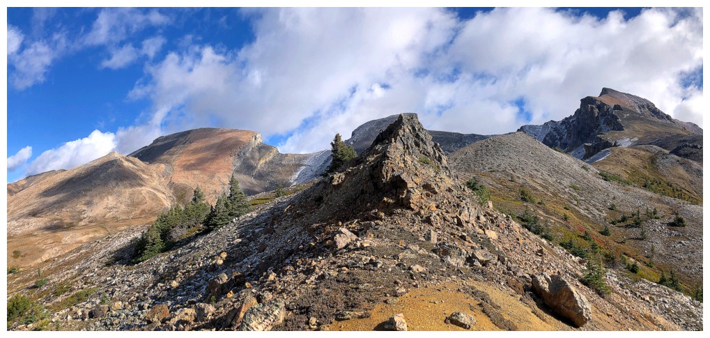
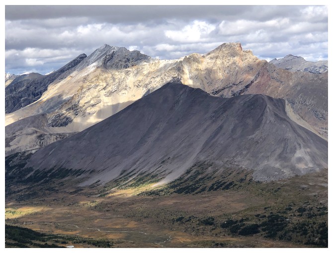
Decided to run up this little bump on descent
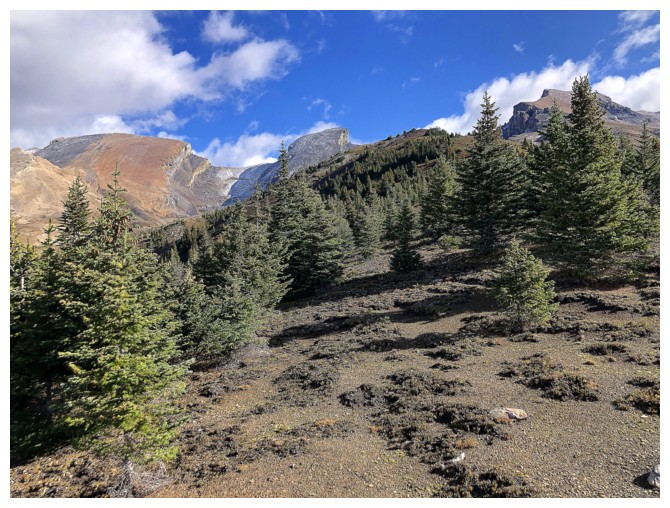
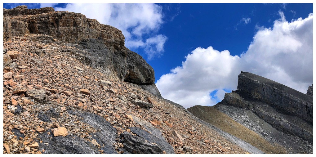
The light-coloured slopes of Quartzite, Ramp, and Mosquito
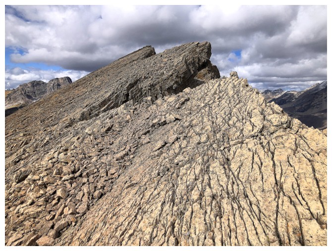
The bump has lots of interesting terrain (but all extremely loose)
Very loose!
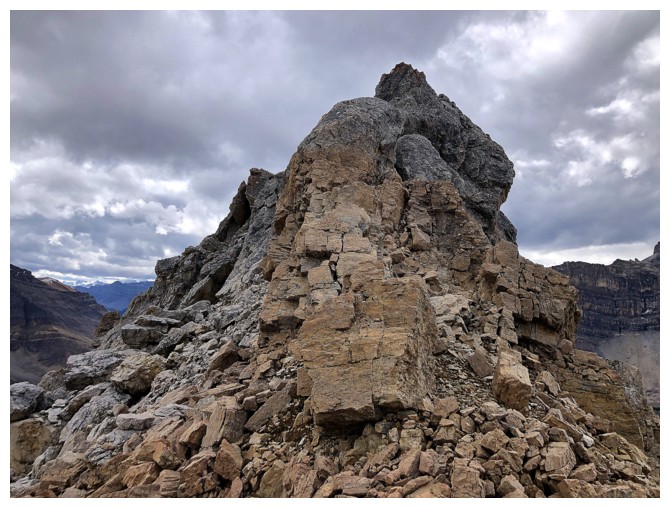
Approaching the summit of the bump. Some exposed scrambling required to get up.
Good views en route
Looking back to to Quartzite from the summit
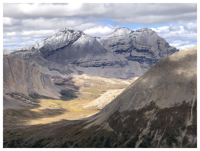
The valley to the northwest looks very interesting
So does southwest, for that matter
Bitter/sweet views again
More ominous clouds over ramp and Mosquito
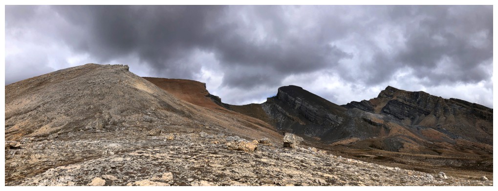
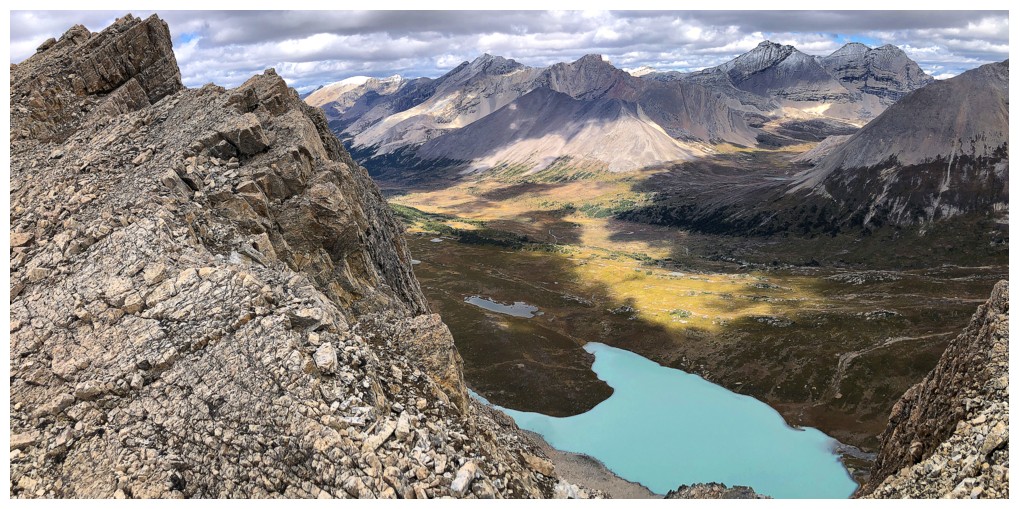
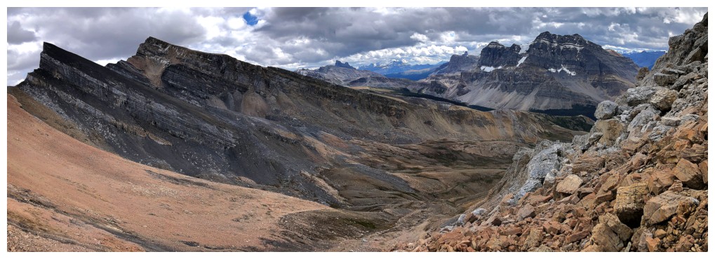
The trio from one angle....
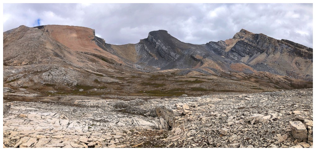
...and from a slightly different one, farther down the valley
Time to lose elevation down to the valley far below
Losing It - still one of my favourite songs of all-time, and increasingly poignant as one ages
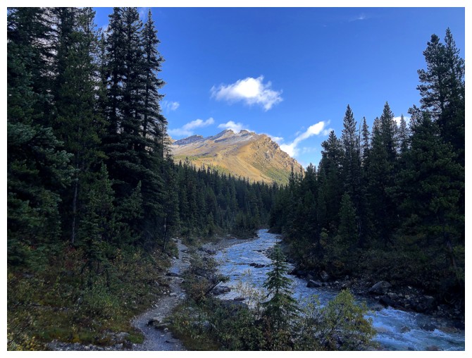
Following a dried-up drainage down to the valley. O Peak is visible throughout.
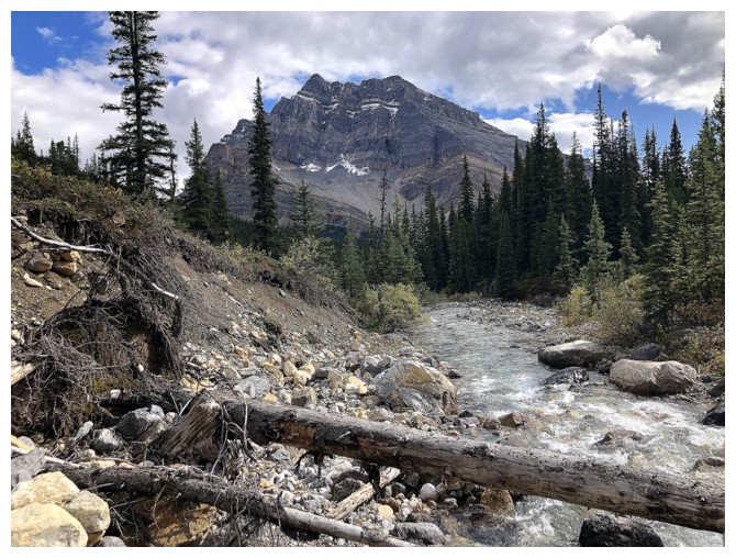
Crossed this subsidiary creek of Mosquito Creek using the fallen tree.
A good trail lies on the other side, that eventually joins up with the
Mosquito Creek Trail.
The End
LOG