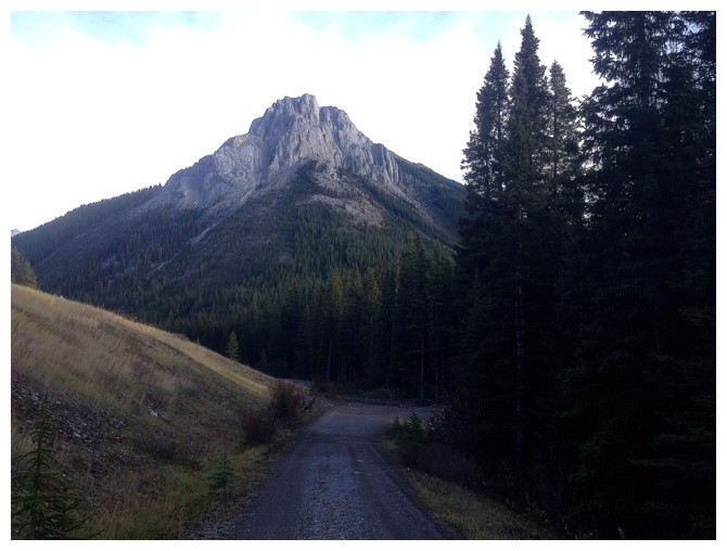
Mount Roberta
and a
little beyond

October
19, 2014
Mountain
height: approximately 2500 m
Elevation gain: approximately 700 m
Round-trip
time: 7:45
Solo
scramble.
I
don’t remember much about this trip, except it was relatively short
(not reflected in my round-trip time!), involving
some route-finding, and steep terrain. I do remember thoroughly
enjoying the
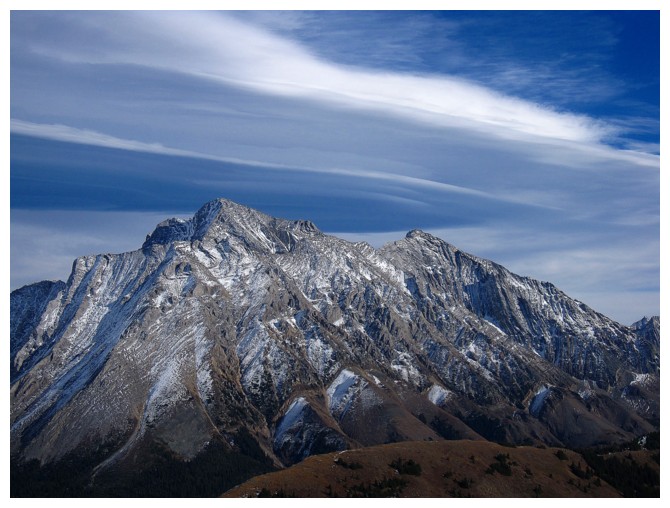
summit view, the highlights of which was a band of striking clouds over
Mount Rae and views of Gap and Elpoca mountains. I did extend the trip up to the next highpoint, south along
the ridge.
Continuing all the way to the summit of Mount Pocaterra, however,
seemed improbable at that point and
so I opted to retrace my ascent route down the mountain, with some
variations.
That’s
about all that comes mind, when writing a trip report more than 10 years after the
event!
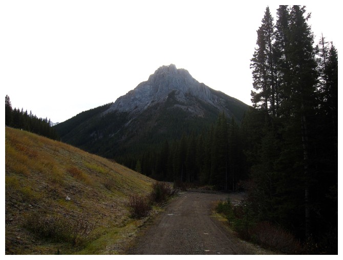
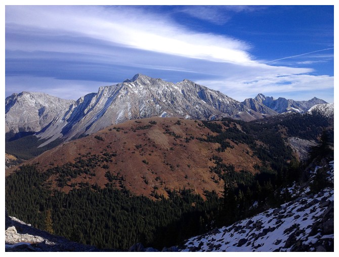
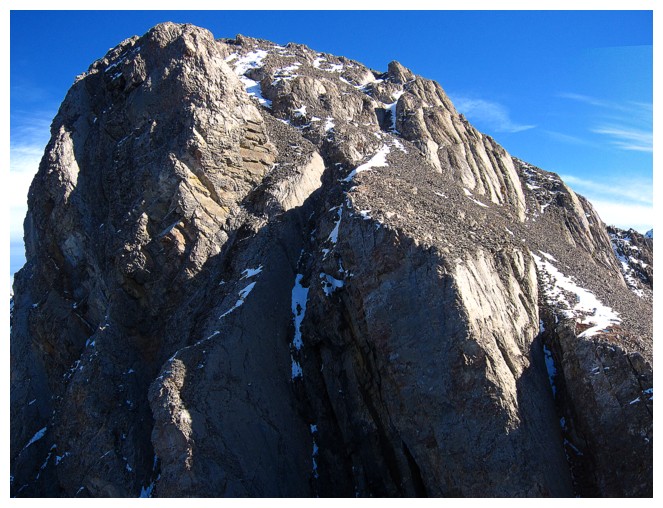
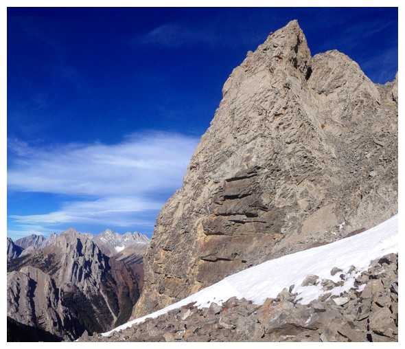
The steep north side of Roberta
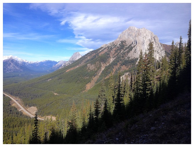
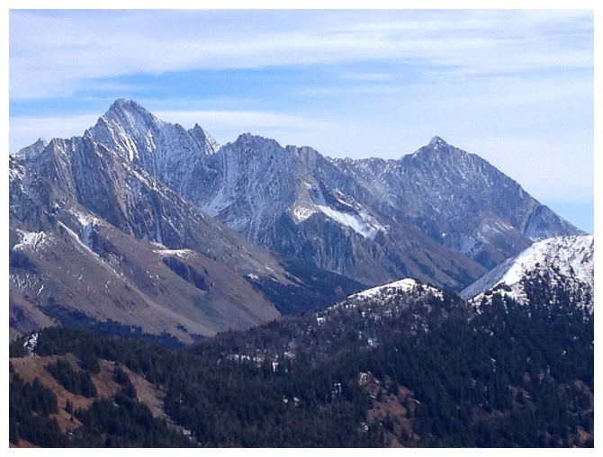
Gap Mountain is prominent throughout
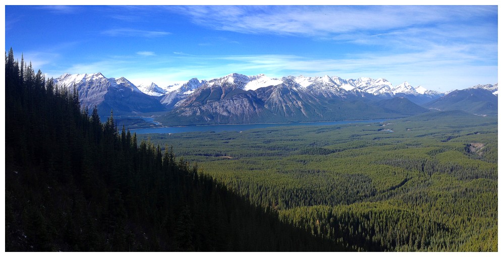
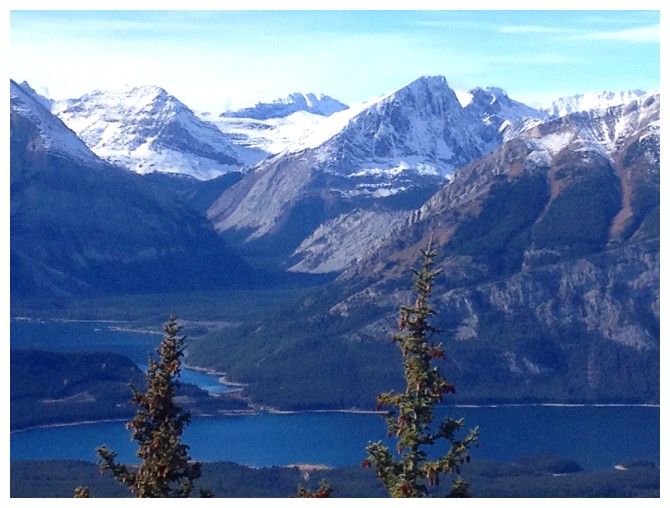
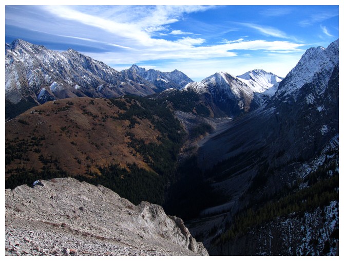
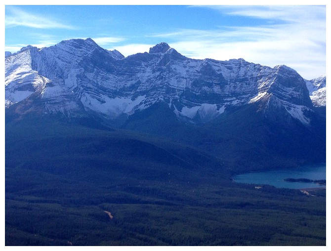
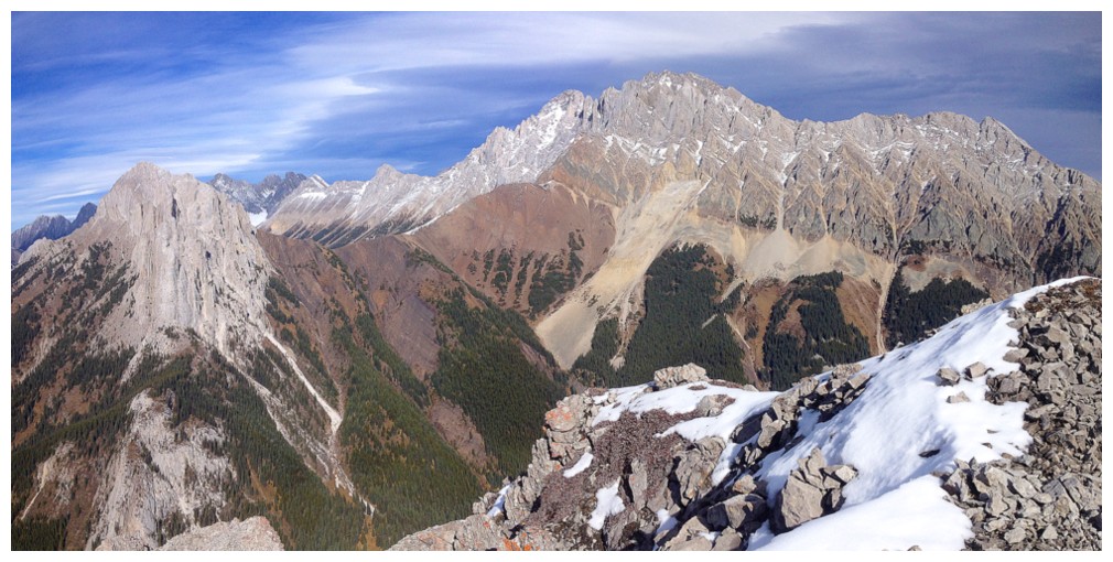
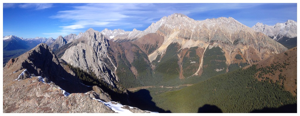
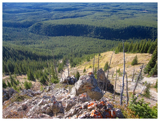
As are the Kananaskis Lakes and all the mountains around them
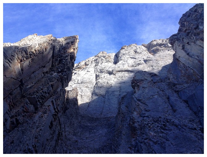
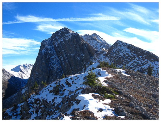
Very steep terrain to the left
And to the right
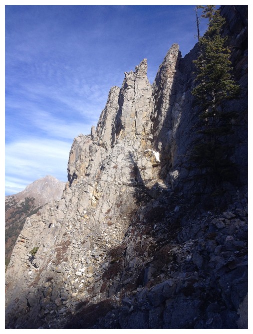
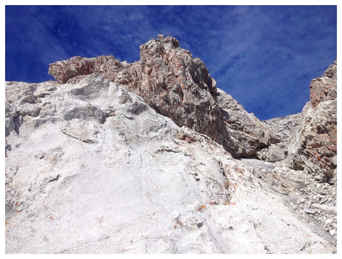
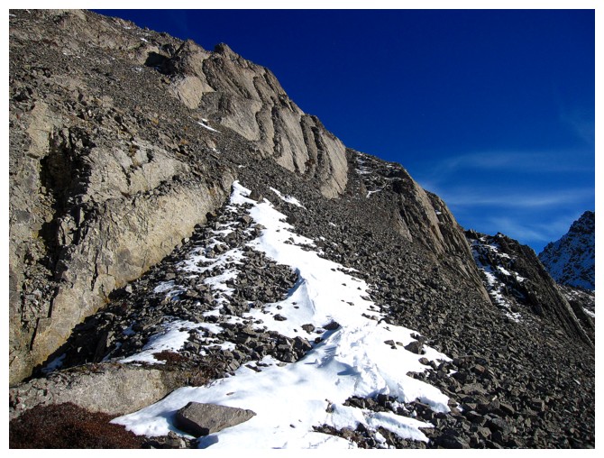
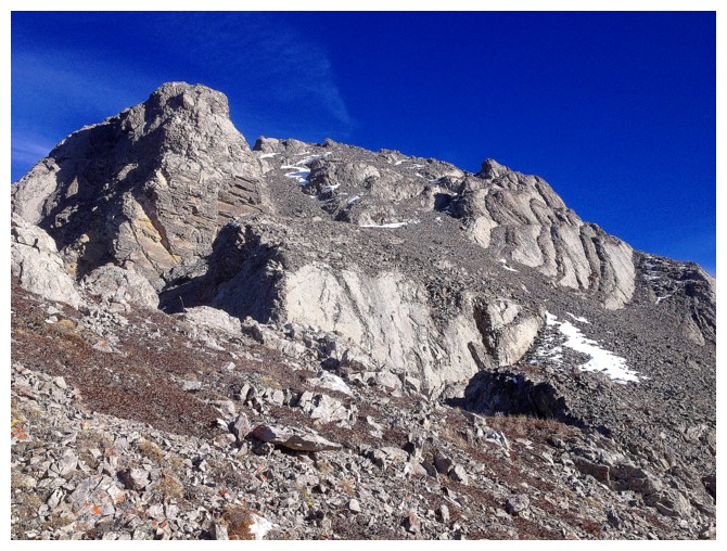
There's a break through the rock bands
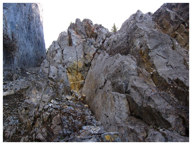
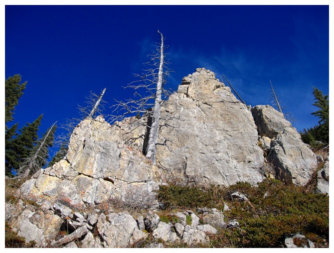
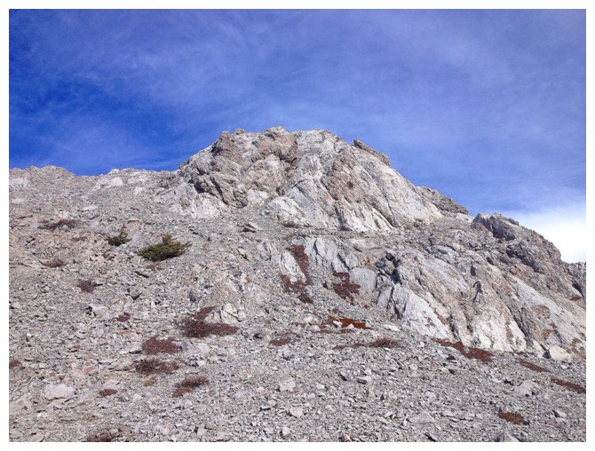
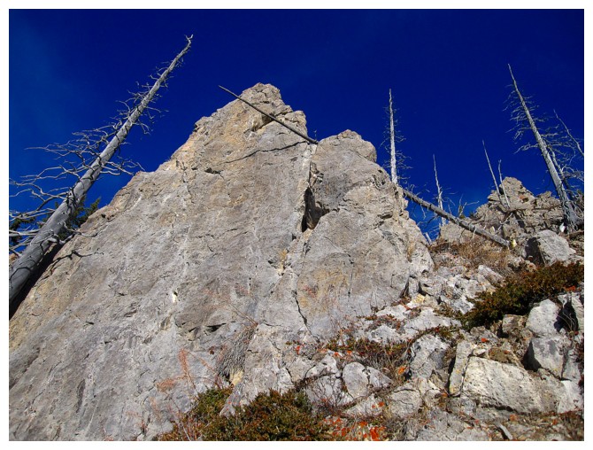
Cool rock
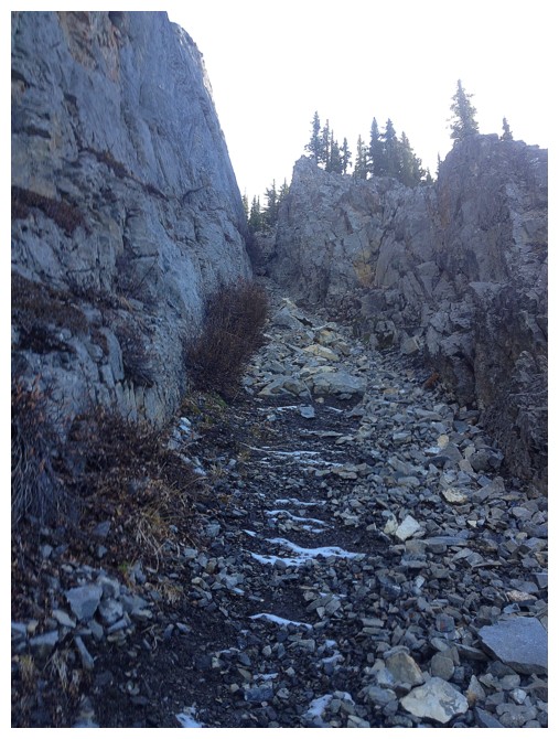
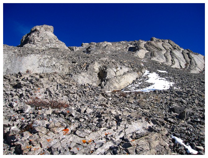
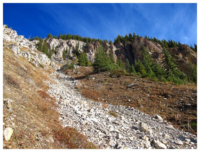
Heading up the break. It's quite steep and very loose.
That steep stuff to the left again
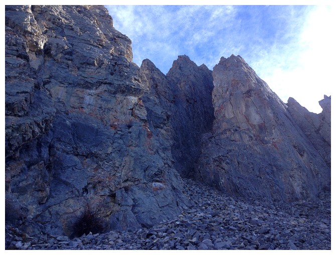
Above the break and looking for a way up
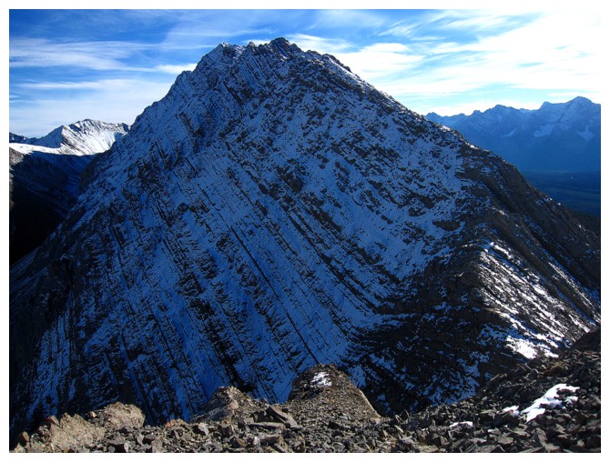
Mount Putnik, just right of centre. Had an interesting day on that one in 2009.
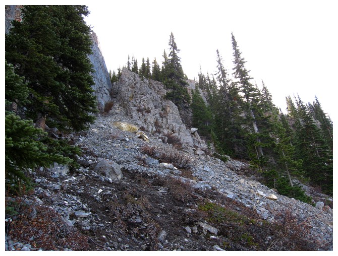
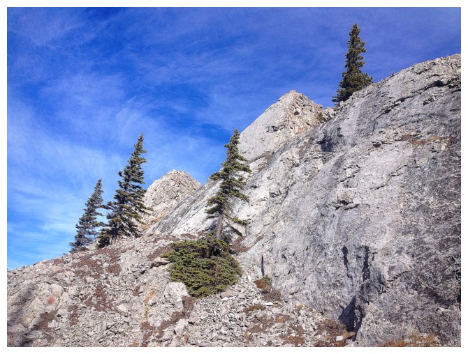
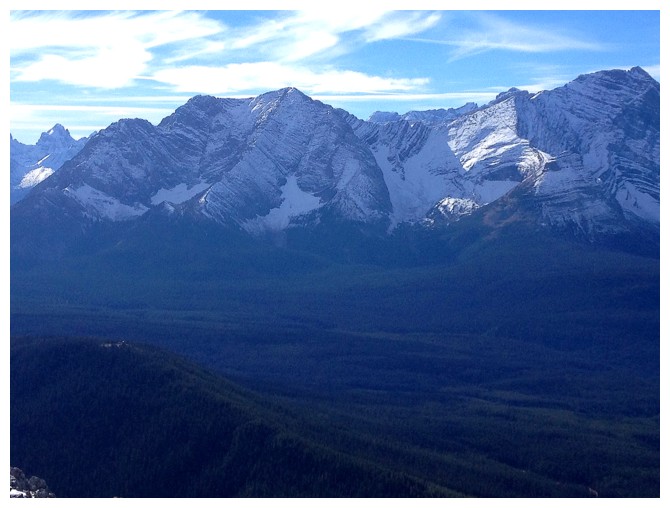
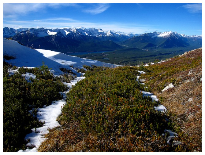
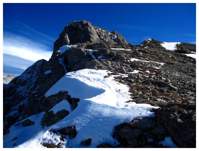
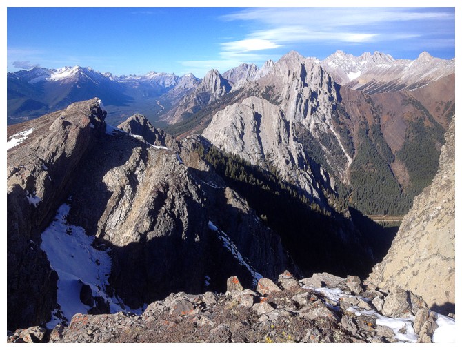
Easier terrain leads to a minor highpoint north of the summit
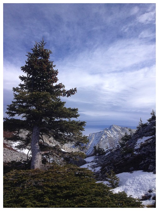
A lone tree and some bushes at a col
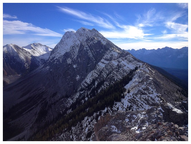
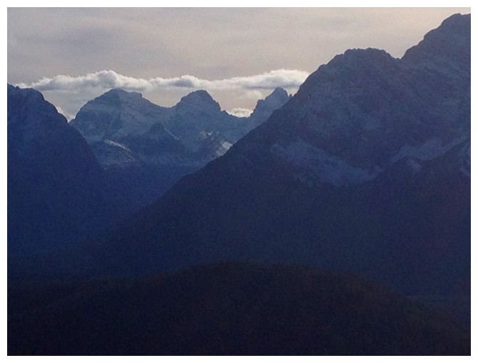
First of many views of Mount Rae

Heading up to the highpoint
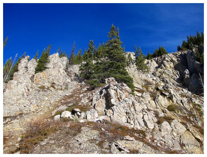
More cool rock
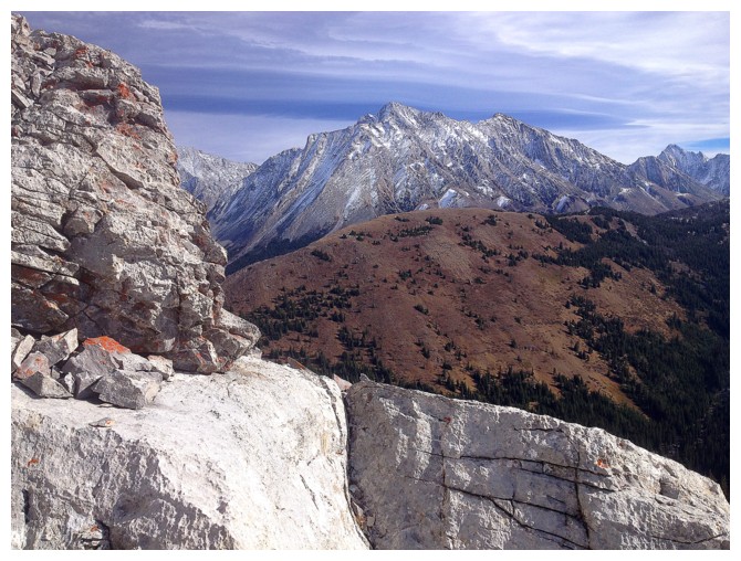
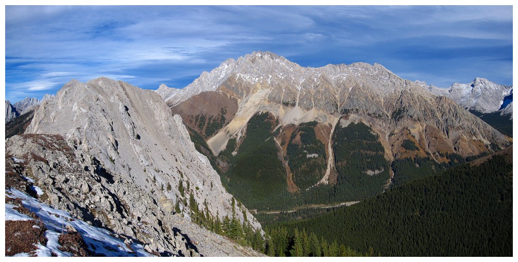
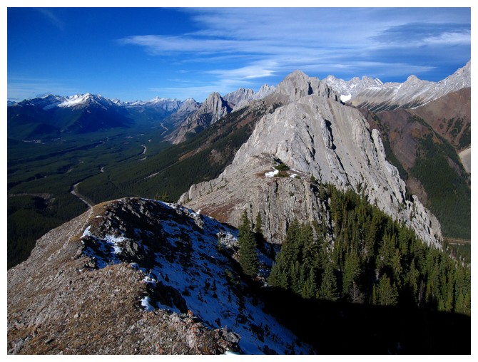
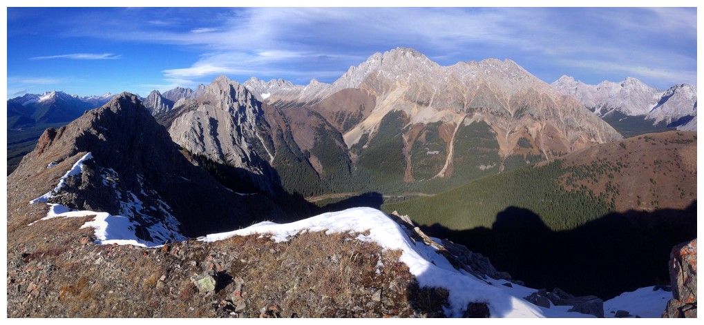
The north end of Pocaterra Ridge in front of Rae
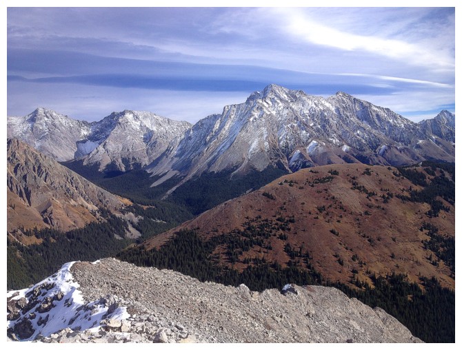
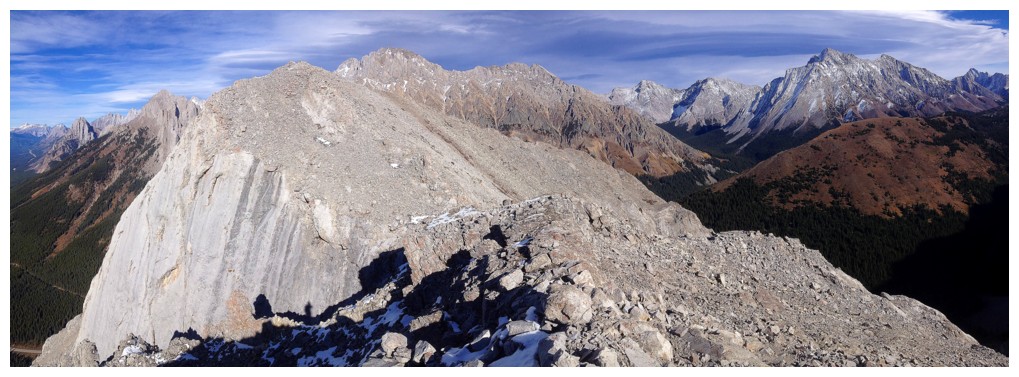
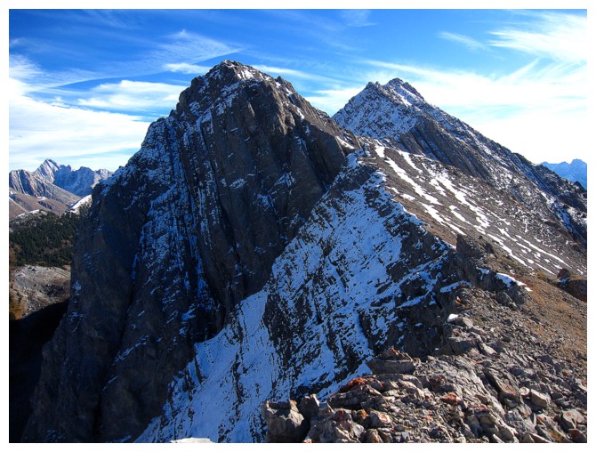
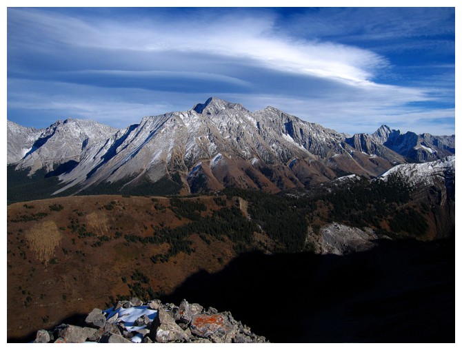
Summit of Roberta in the centre

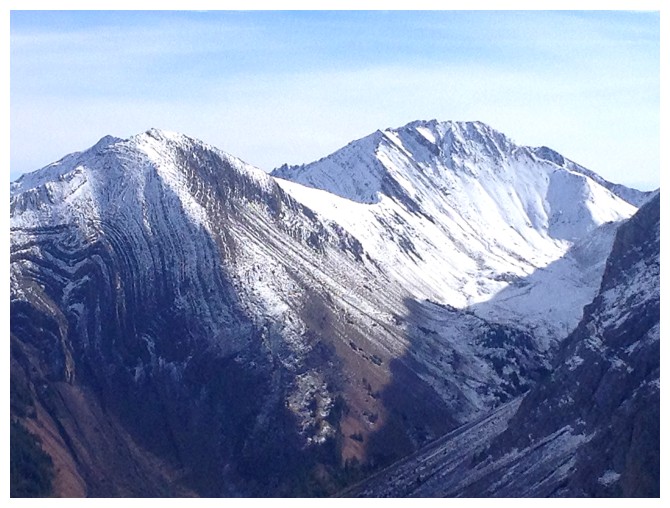
Elpoca Mountain is a stunning peak and not easy to summit
At the summit of Roberta
Trying to spot the tarn in the valley between Mount Pocaterra and Pocaterra Ridge. It's there, but not obvious.
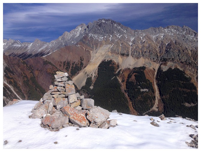
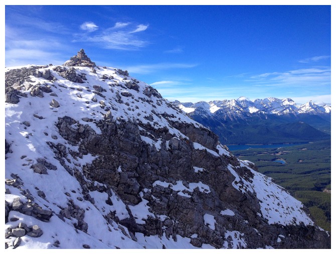
A sizable summit cairn for a fairly obscure peak
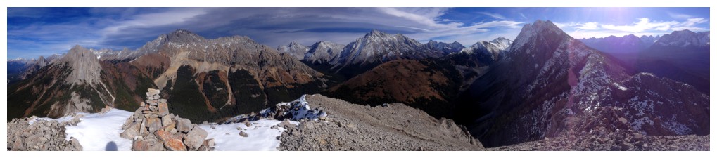
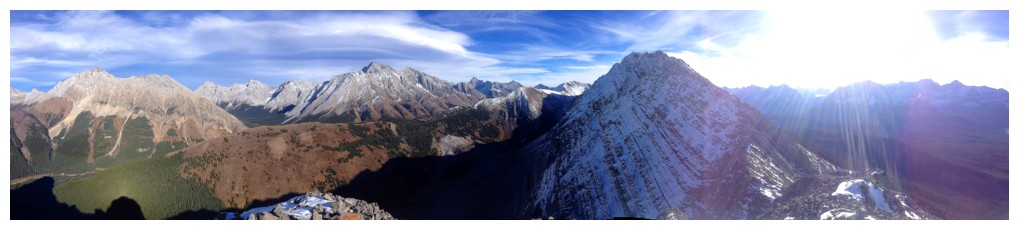
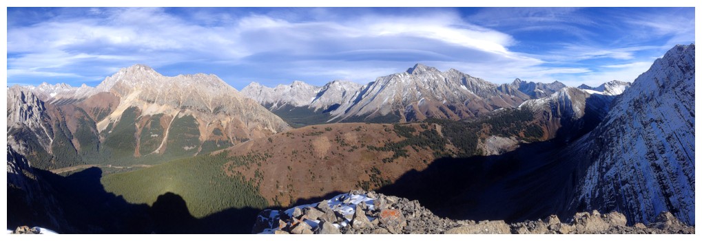
Summit pano
The cloud above Rae is going to garner lots of attention
Mounts Foch (left) and Sarrail (centre) to the west. Tried to get up Foch from the east but ran into some very serious terrain and had to retreat.
Mount Fox - failed that one too
Peaks of the Opal range to the north: Blane, Burney, Jerram, and Schlee at the far right. Big thank you to Kevin Barton for getting me to the summits of three of those.
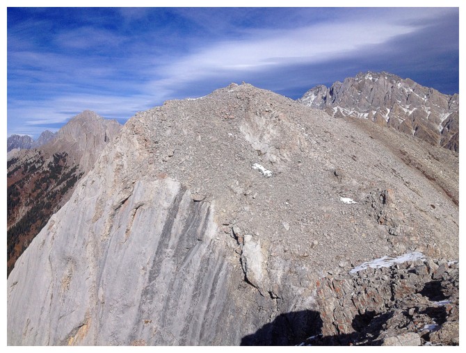
The south end of Pocaterra Ridge
Storm Mountain (left) and Mist Mountain (right)
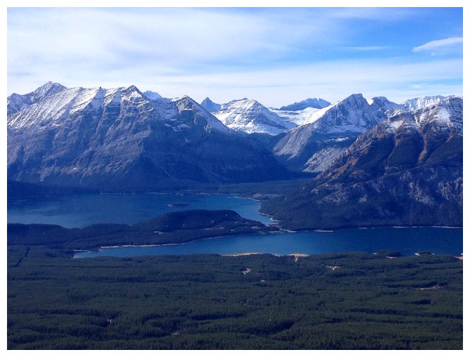
The Kananaskis Lakes
Leaving the summit for other things
Elpoca and Roberta at the left
Gap Mountain at the left now
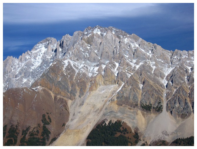
Close-up of Elpoca
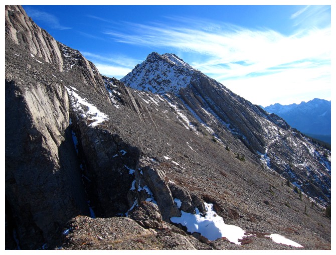
The ridge to the south that eventually leads to Mount Pocaterra
Looking back to Roberta
That cloud again
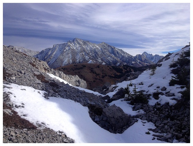
The route ahead
Surprising patch of green
Roberta is starting to look distant
The new objective is the highpoint at the left

Cloud pano
Other pano
Closing in on summit 2
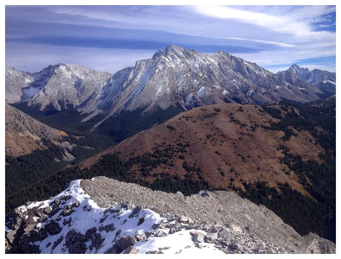
The summit of Pocaterra Mountain is a long way off
Cool view of the summit of the next objective
Bit of a slog to get there but all on easy terrain
Almost there
Summit pano #1
Summit pano #2
The next section of the ridge to the south looks challenging and the
summit of Mount Pocaterra is STILL far away. Definitely calling it a
day here.
Last look at the cloud
Descending
Still lots of cool rock to see
Same as above
One more look at the terrific view to the north
Look a slightly different route down the mountain
Looking down it
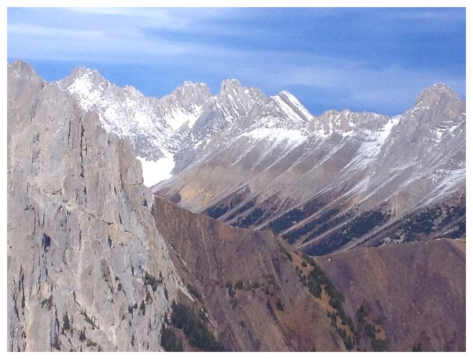
A few peaks of the French Military Group to the southwest
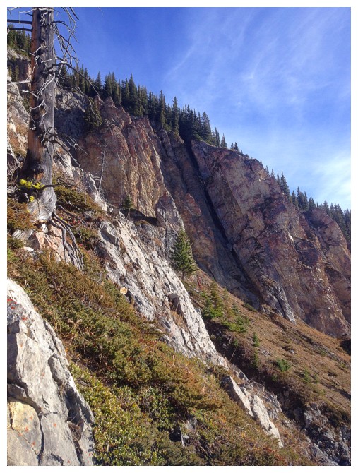
Near vertically-tilted strata
Same as above
Looking back at the walls
Parting glance at Roberta at the end of the trip
The End
LOG