Mount Rowe VI
April 20, 2022
Mountain height: 2464 m
Elevation gain: 820
m
Round-trip
time: 3:35
Solo snowshoe.
Mount Rowe has just become my new go-to
snowshoe route in Waterton. Five days after an unexpected winter-like ascent of
Rowe, I was back for seconds. With a full breakdown in the weather predicted at
9 am, the southeast route up Rowe was my best bet for getting up to a
significant summit, before the clouds rolled in. It’s the most direct route to
the summit and my previous ascent had only taken 2.5 hours.
The ascent unfolded in much the same fashion
as on April 15. Snowshoeing conditions were excellent and as a bonus I got to
enjoy near perfect weather for most of the trip up. I also managed to shave almost
30 minutes off my previous ascent time, arriving at the summit, just over 2
hours after leaving the parking lot.
At 8:30 am the weather was clearly changing,
but I decided to try to make it to the next highpoint (actually higher than
Rowe) before the views disappeared completely. I made it close to that point,
but very suddenly the clouds rolled in and my motivation to continue rolled
out. Instead, I returned to the summit of Rowe and then followed my uptrack
down. I even managed to glissade a few sections, though steering around the
dead trees definitely added challenge to the ride. Once again, the descent took
about an hour.
The second of potentially many winter or
winter-like ascents of Rowe.
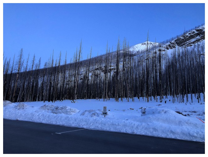
Snowy Rowe from the parking lot
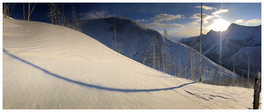
Several hundred metres of elevation gained and everything is still in shade
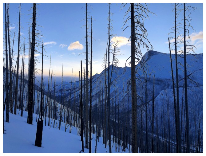
Here Comes The Sun - great cover!
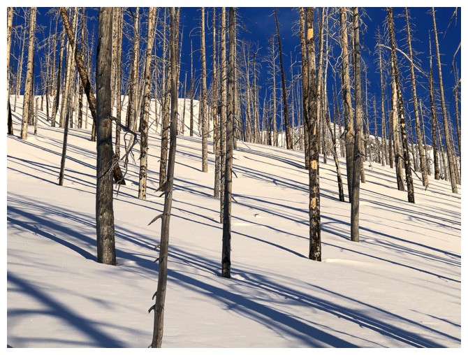
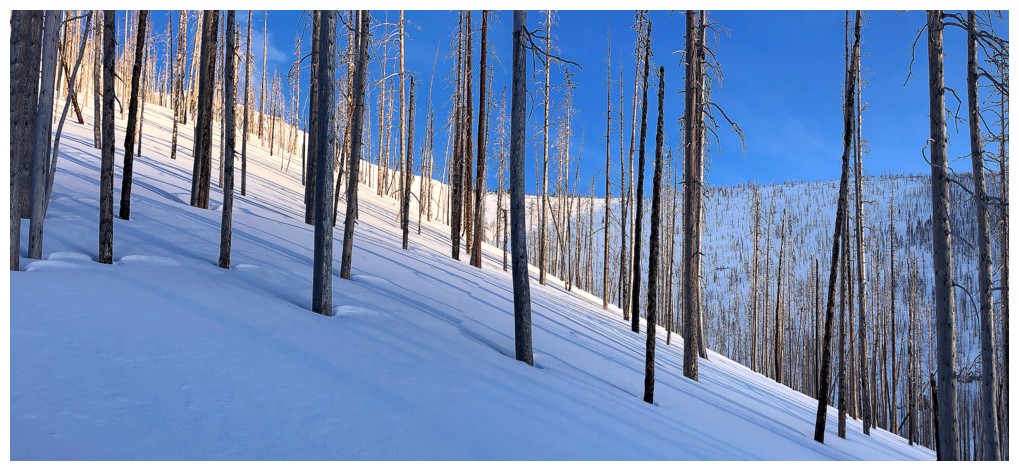
The Kenow fire has made easy work of this ascent
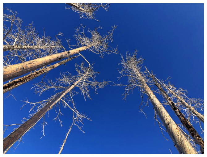
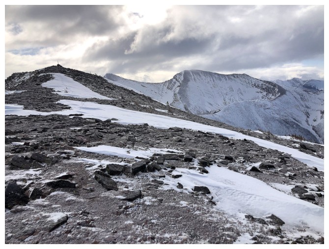
Things are looking up!
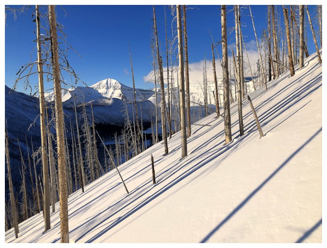
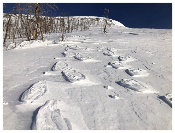
Typical grade of the ascent slopes
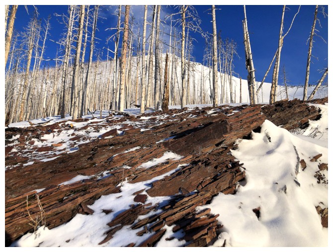
One of the only times I saw bare rock on the trip and it's red argillite!
Rowe's eastern outlier at the right
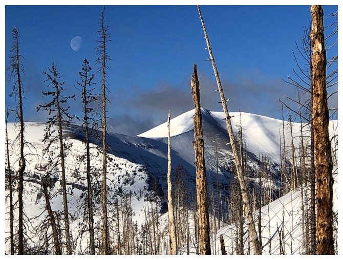
A faint moon and the wonderful curves of Akamina Ridge
Chapman Peak in Montana
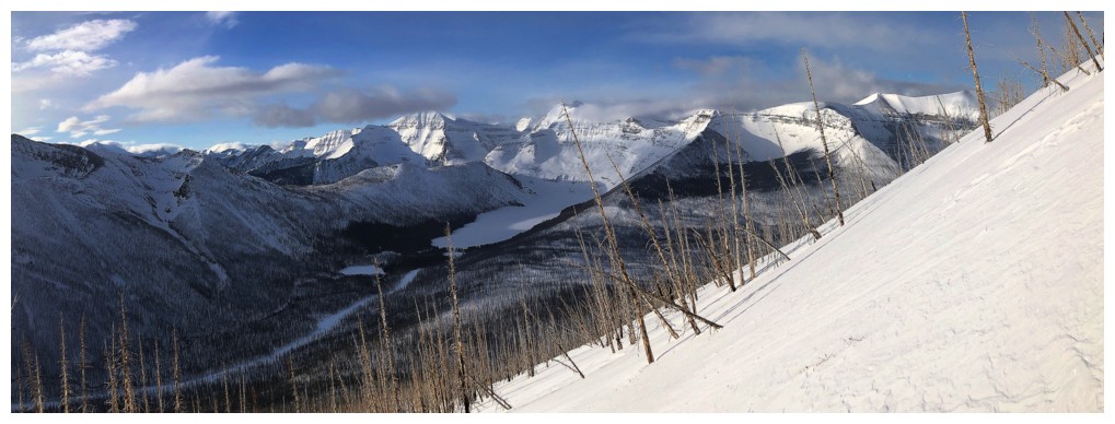
The view towards Cameron Lake is revealed
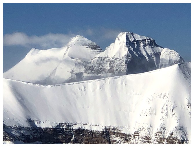
The three summits of Buchanan Ridge (Northeast, The Middle Child, true summit) and Mount Carthew
My 5-day-old snowshoe tracks
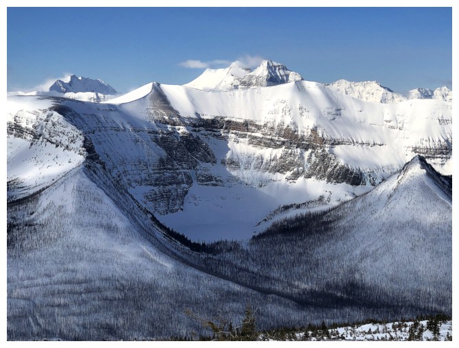
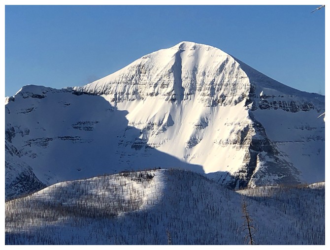
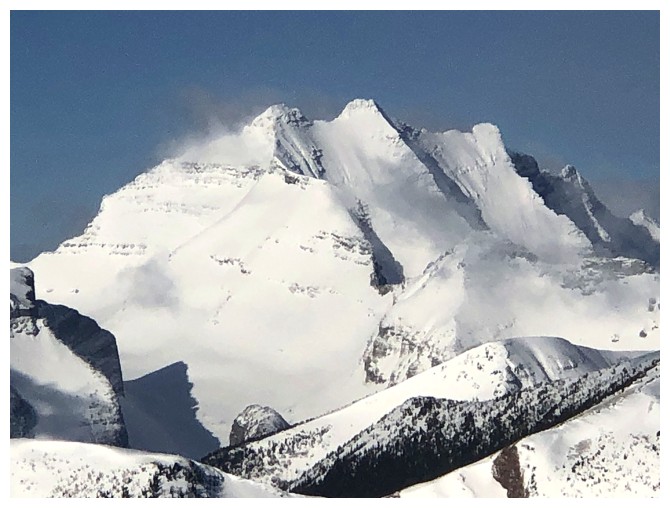
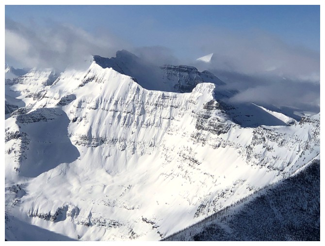
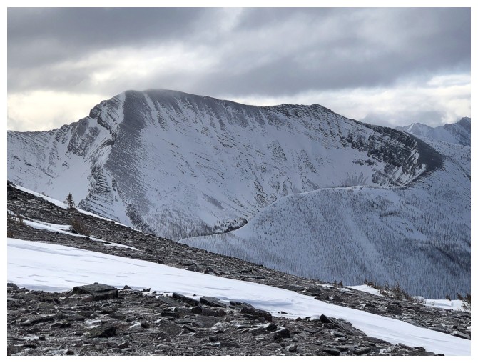
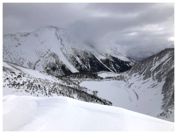
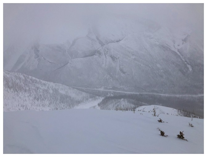
The daunting east side of Mount Custer
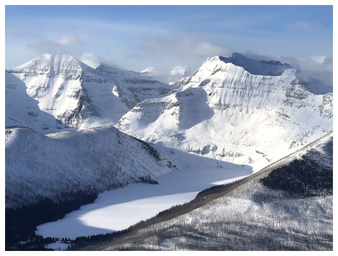
Cameron Lake below Custer
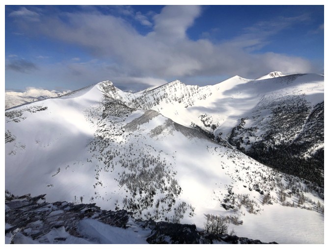
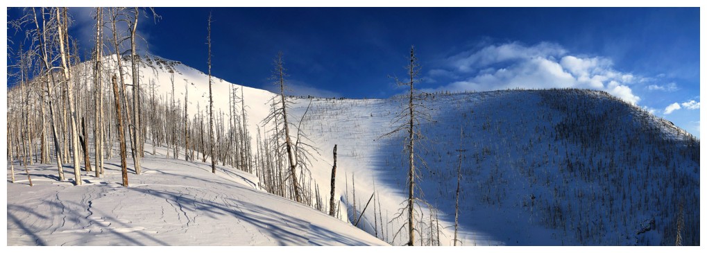
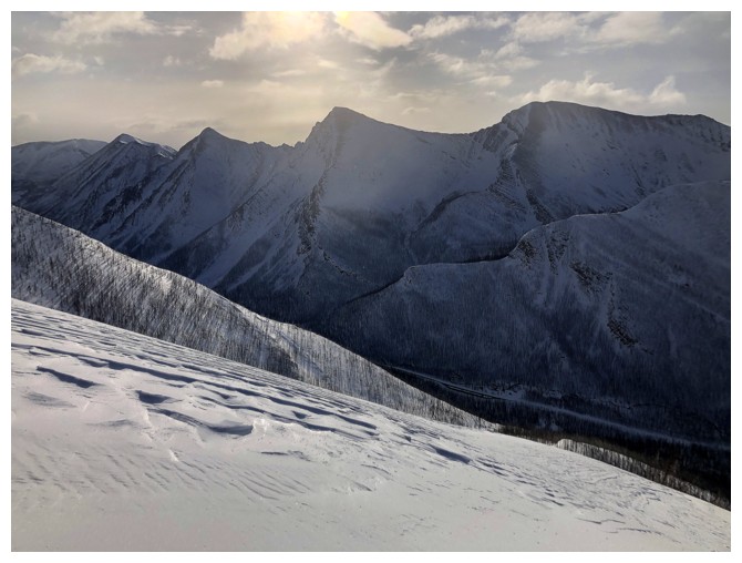
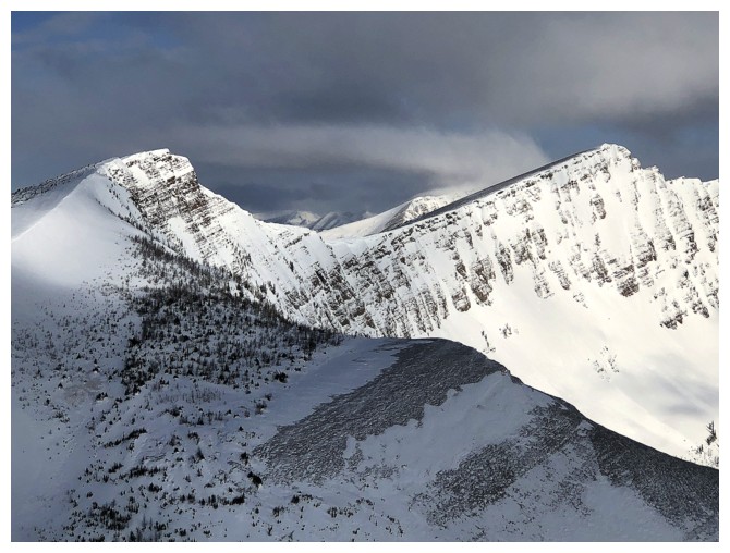
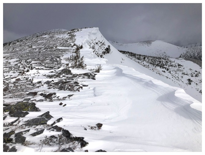
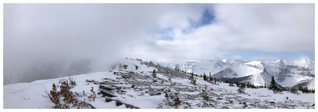
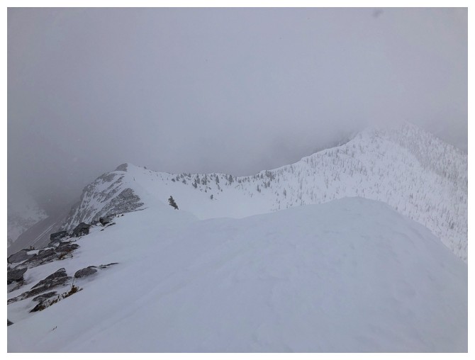
On the summit ridge looking north to the next highpoint and the Peak of Despair
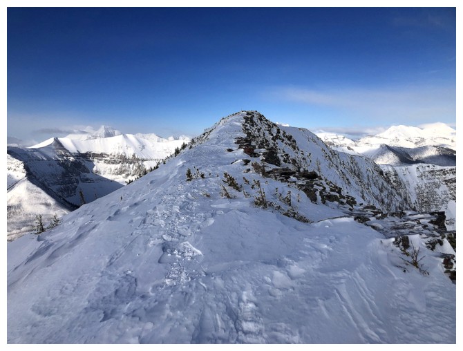
Short hike to the top
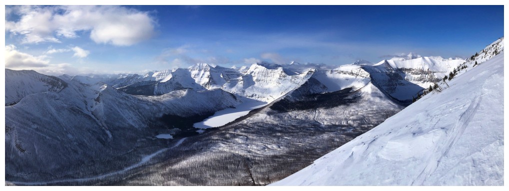
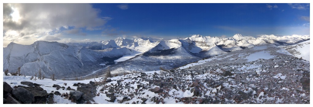
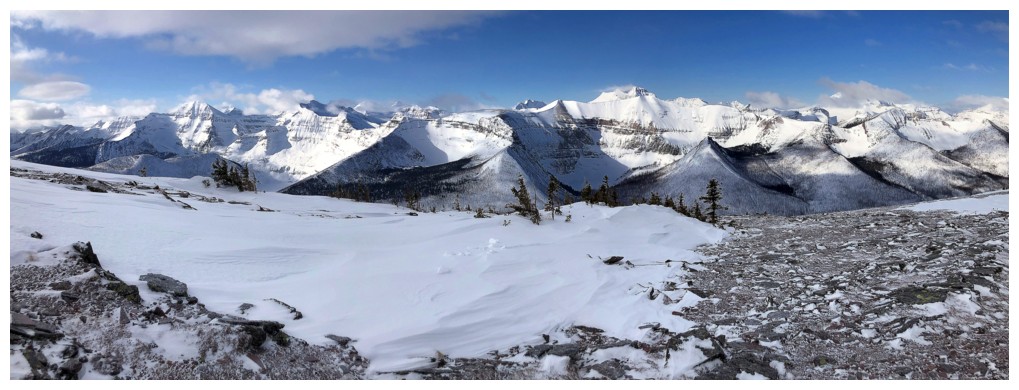
View to the east
View to the northwest
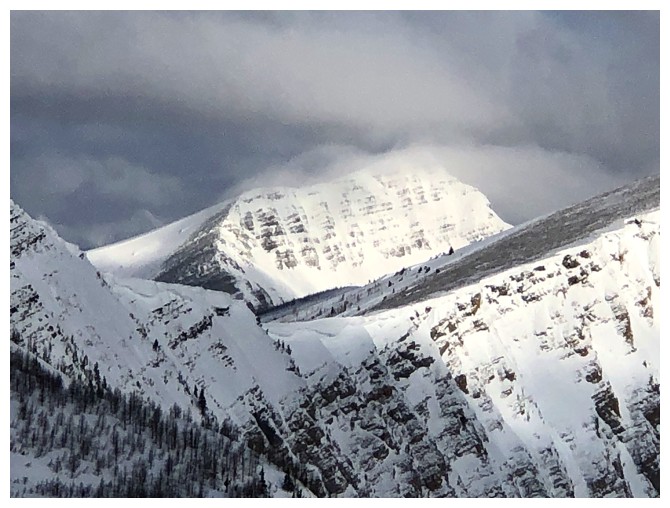
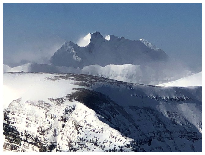
The Peak of Despair
The higher GR I failed to reach is at the left
Long Knife Peak
Distant Mount Festubert
Two giants in Montana: mounts Kintla and Kinnerly
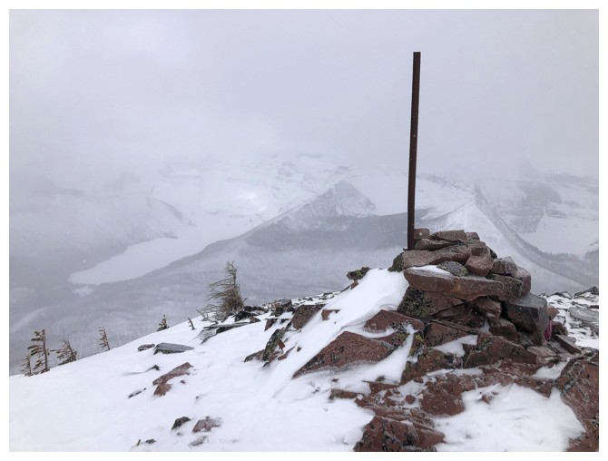
Summit view. The clouds are starting to build to the east.
Custer again
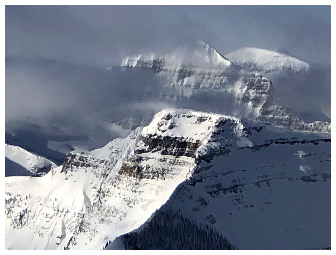
Rainbow Peak in GNP always looks scary
Forum Peak in the foreground
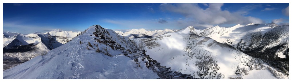
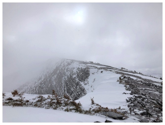
Looking back to the summit, en route to the higher GR
Mount Carthew - found a cool route up this one two weeks earlier
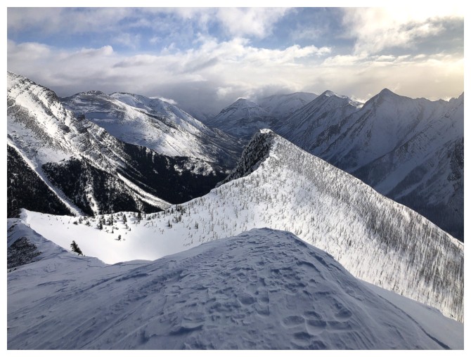
Clear skies are holding on for dear life to the west
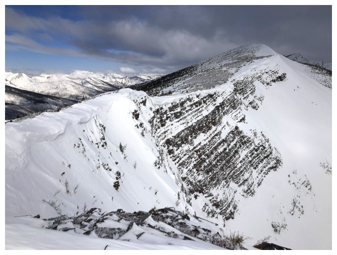
But clouds are closing in on the GR
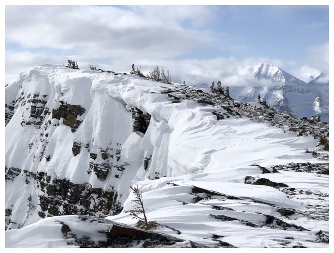
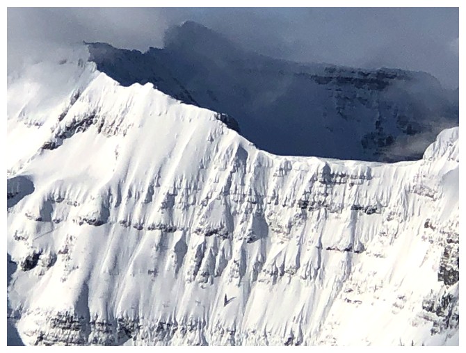
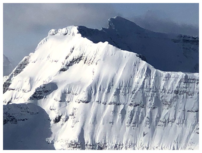
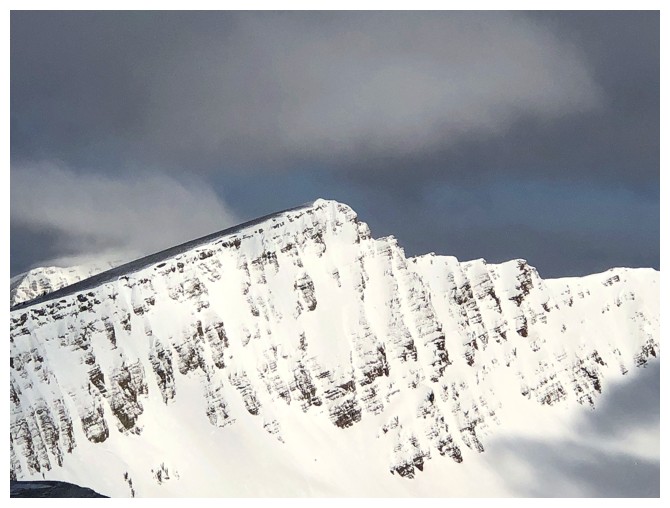
The corniced ridge and near vertical east face
Easy to determine where to walk and where not to!
Mount Lineham will be disappearing soon, but the snow-covered Rowe Lakes are still visible
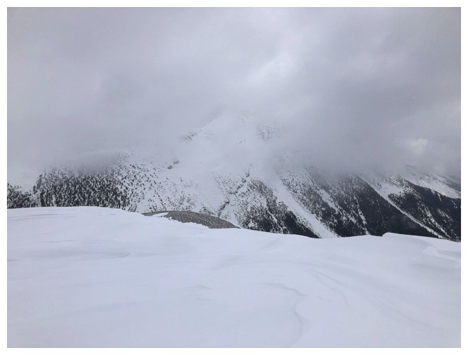
Bye-bye Lineham
Bye-bye pretty much everything else
Heading back to the summit of Rowe
Very different summit view this time around
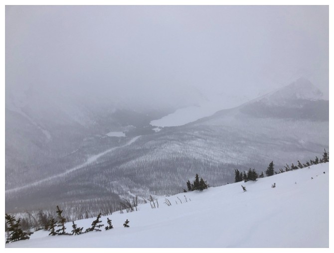
Cameron Lake is barely visible
Fortunately, complete whiteout conditions never materialized, but they were trying!
The road is still far below. Fortunately, the ride down is fast and easy
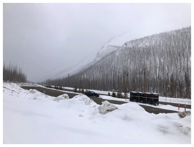
The parking lot and my lone vehicle
The End
LOG