Mount Rowe V
April 15, 2022
Mountain height: 2464 m
Elevation gain: 820
m
Round-trip
time: 3:35
Solo snowshoe.
An unplanned and
unexpected fifth ascent of Mount Rowe.
With socked-in
weather conditions throughout the morning and early afternoon, I drove along
the Akamina Parkway around 2:30 pm, in search of a short trip to get some
exercise. Surprisingly, the weather started to improve as I set off on
snowshoes towards Cameron Lake. The lake attempt was very short-lived. Given
the favourable turn in the weather, I decided to start heading up the southeast
side of Mount Rowe, following a ski track. I didn’t think the summit was a
possibility, given a close to 3 pm start time, but gaining some elevation and a few decent
views had more appeal than the mundane plod to Cameron Lake.
Again, to my
surprise, the snow was in outstanding ascent condition – super firm and
therefore no postholing or even minor sinking. This enabled me to head straight
up the mountain, gaining elevation much faster than I expected. Suddenly, the
summit of Rowe was actually a possibility. I couldn’t yet see the upper slopes
and half expected them to be too steep to snowshoe, but such was not the case. There
were a few steeper sections but nothing that a good pair of snowshoes couldn’t
handle.
About 2.5 hours
after leaving, I arrived at the summit. The view, while far from cloud-free,
was nonetheless fantastic. Mid-April and it was still full-on winter in this
part of Waterton. The almost effortless descent took barely an hour.
A great winter
route up an old friend.
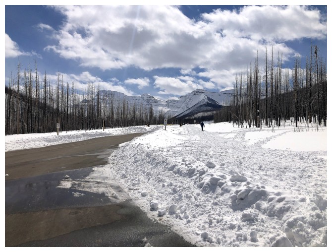
At the winter parking lot and ready to snowshoe to Cameron Lake
Bailing on Cameron Lake within two minutes. There's Mount Rowe.
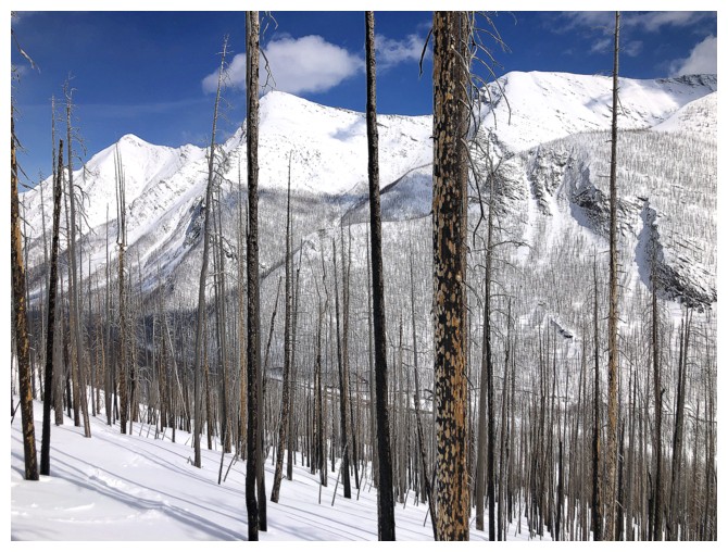
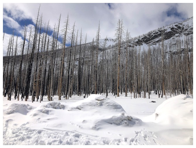
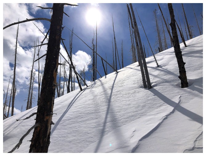
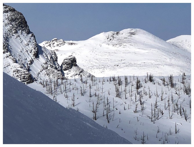
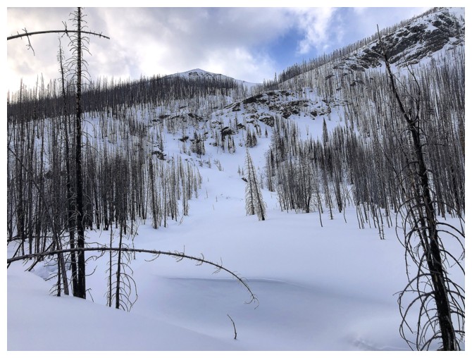
Getting decent views in treed areas - results of the 2017 Kenow fire.
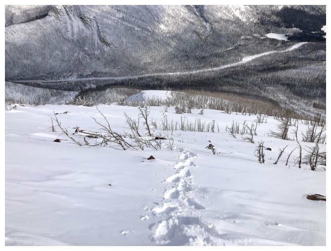
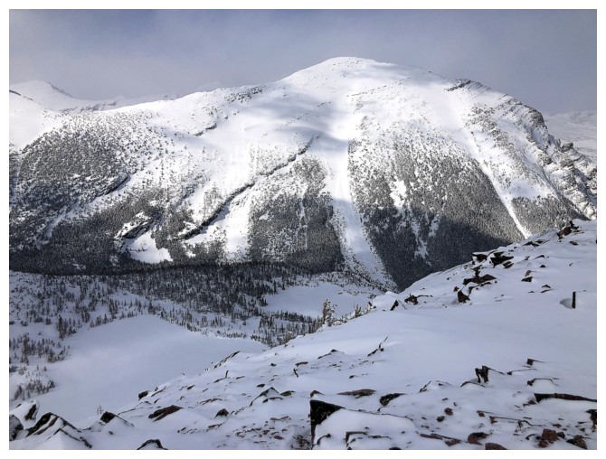
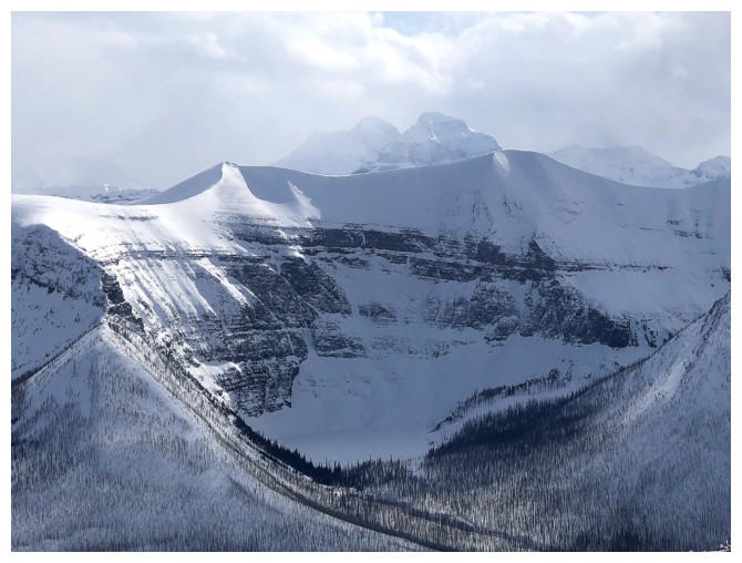
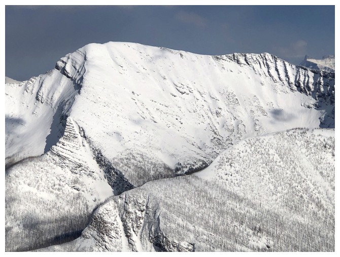
Looking over to the ridge on the other side of the drainage that bisects the south side of Rowe
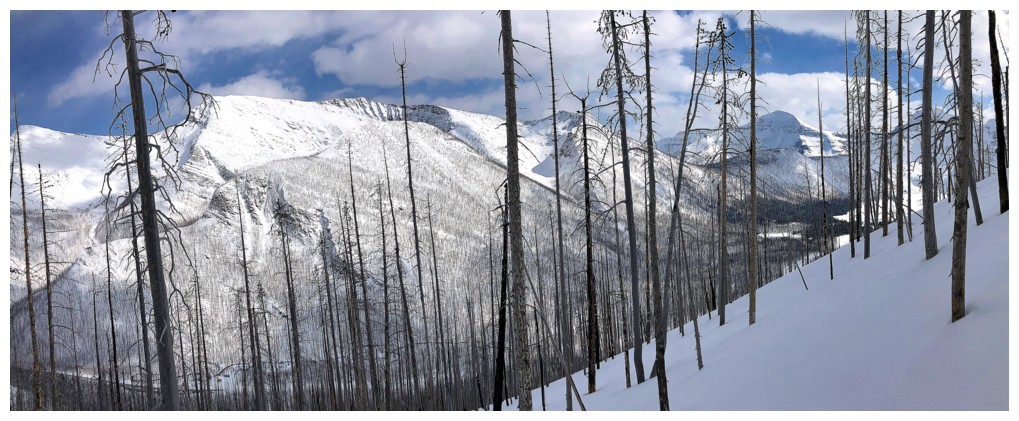
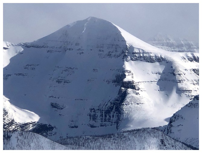
Looking up and looking good
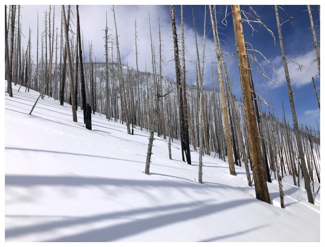
Still in the trees, but getting decent views across the valley
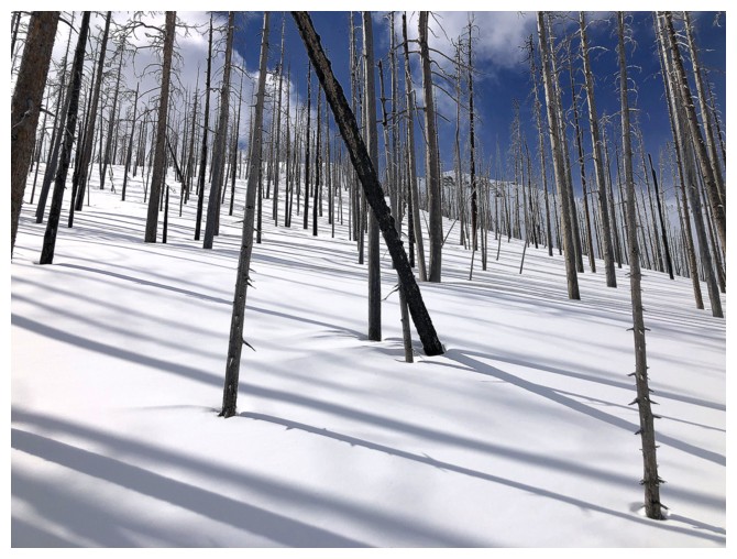
One of the steeper sections
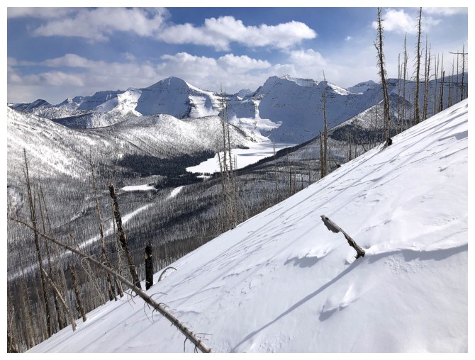
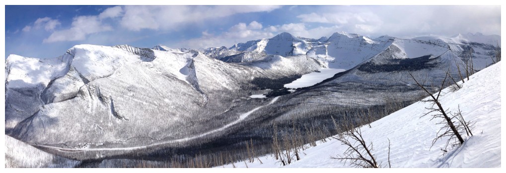
First good view of Cameron Lake
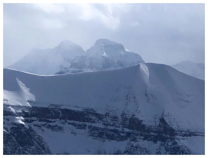
Chapman Peak and Mount Custer sit above Cameron Lake, but are entirely in the United States
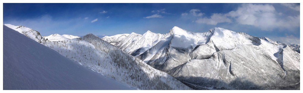
Five very cool peaks across the road: Buchanan Northeast, Buchanan, The Middle Child, Buchanan Ridge, Mount Carthew, and Carthew Minor
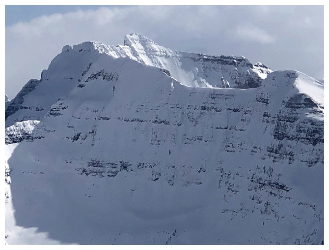
Close-up of Custer
Above treeline, the views are considerably better
Ruby Ridge and a chunk of Mount Lineham at the left
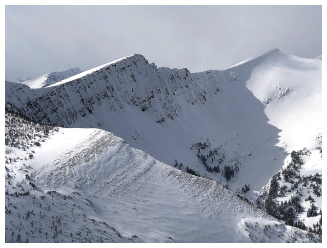
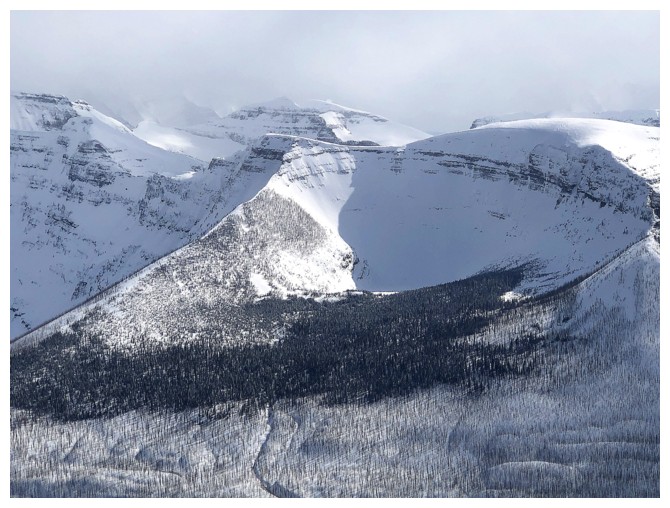
Looking down the route
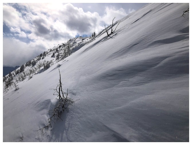
Another steep section right before reaching the ridge
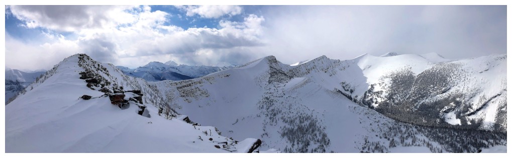
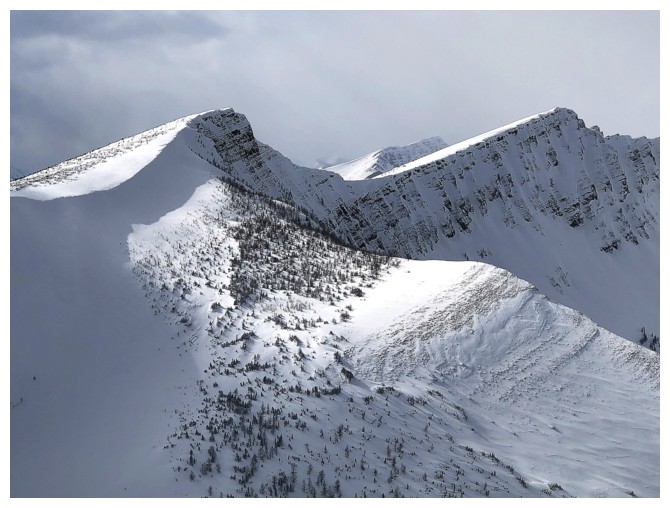
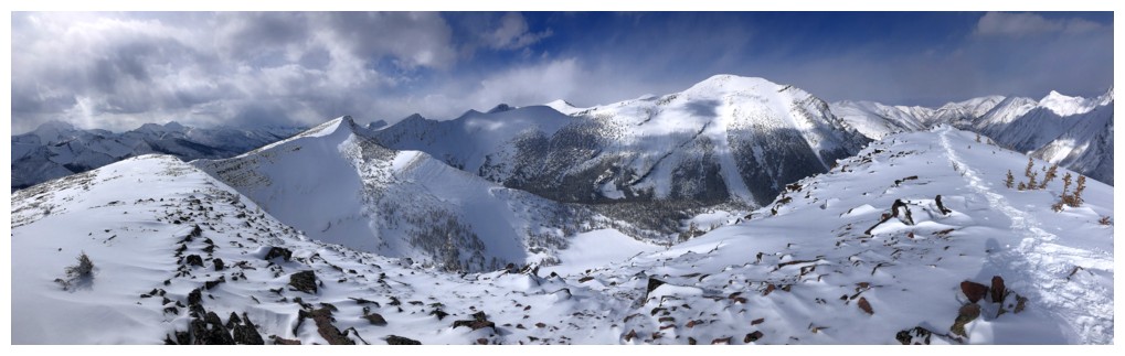
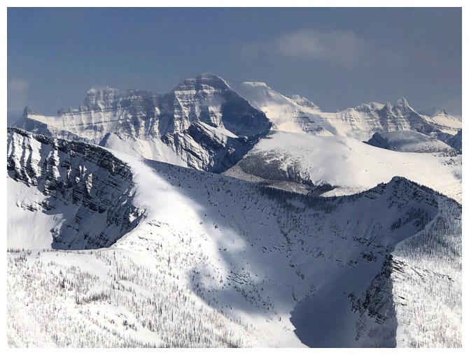
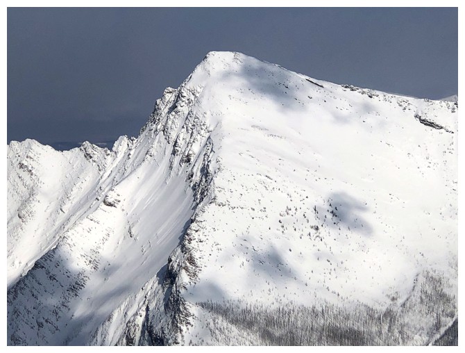
On the ridge, with the summit at the left
On the ridge, with the summit at the right
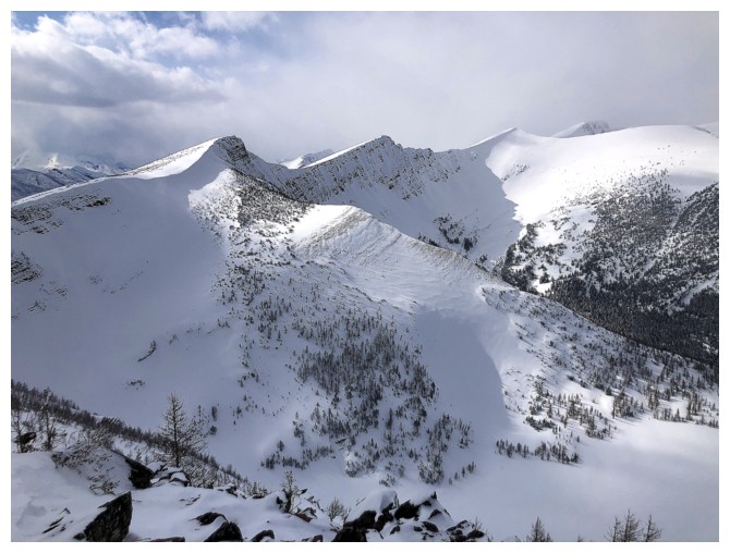
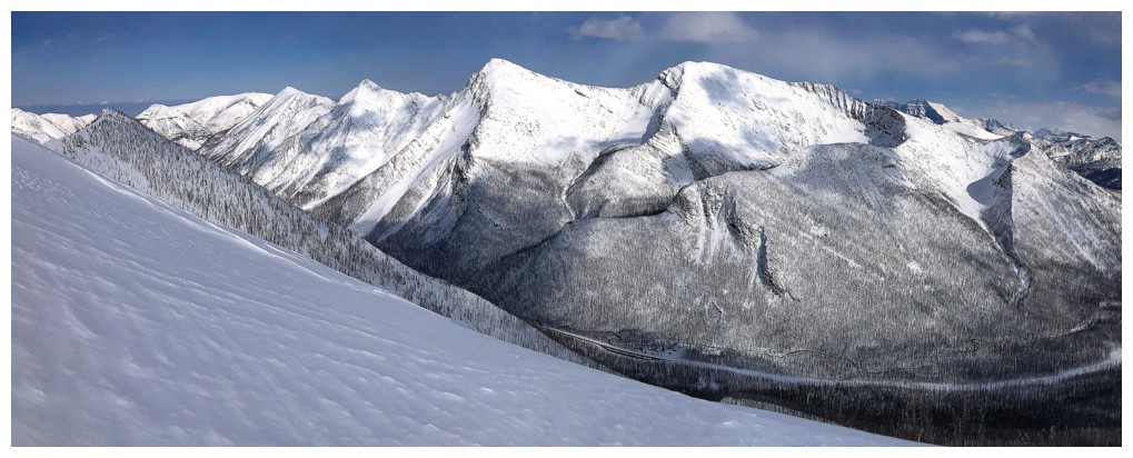
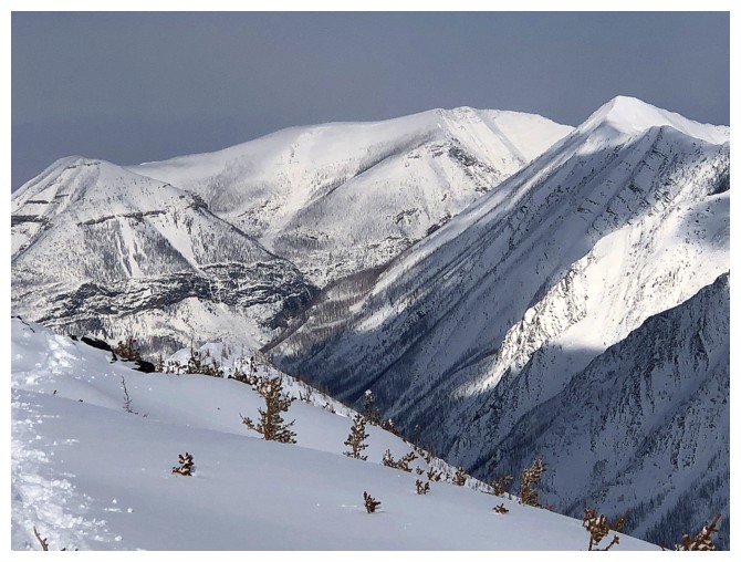
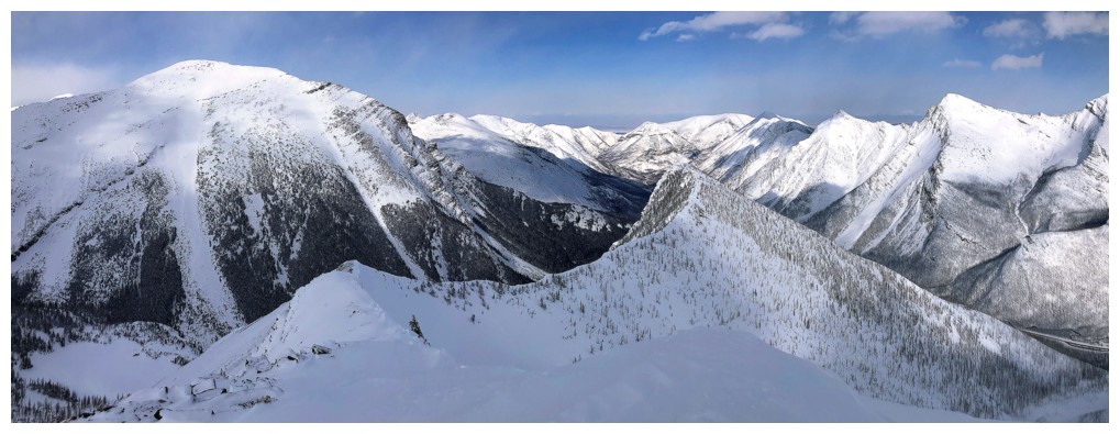
Looking north to the familiar highpoints on the connecting ridge north of Rowe
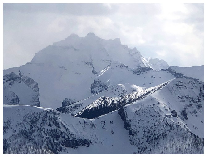
The first highpoint and "The Peak of Despair" at the right
Close-up of "The Peak of Despair". Distant Mount Festubert at the left
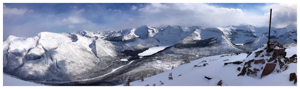
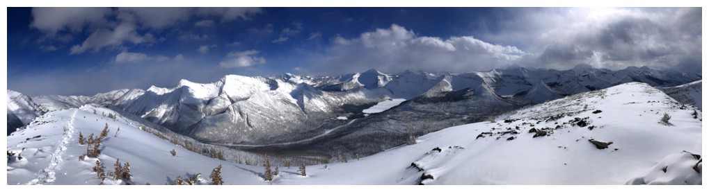
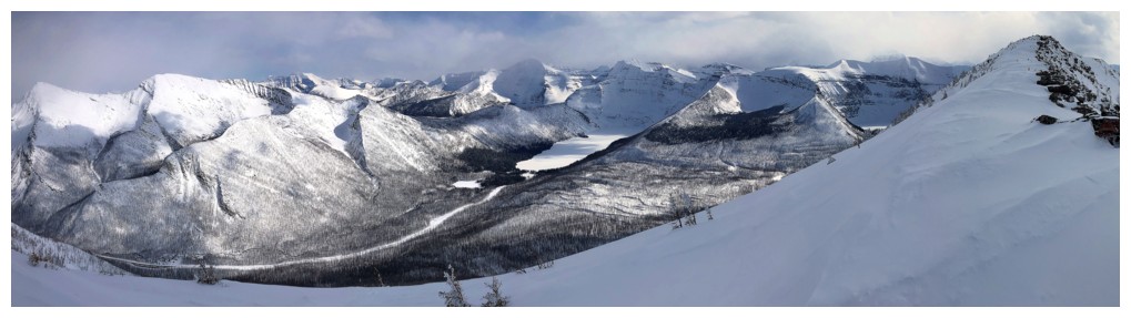
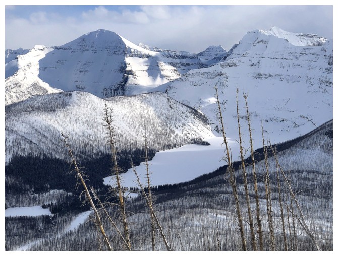
Summit view
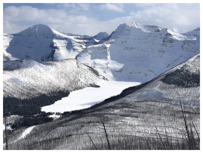
The upper Rowe Lakes and Mount Lineham
Summit view to the north and northeast
Long Knife Peak
Mounts Kintla and Kinnerly, beyond Akamina Ridge
Chapman Peak
Akamina Ridge and Wall Lake
Forum Peak and Forum Lake
Mount Cleveland
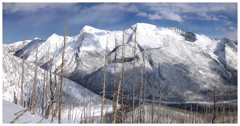
Mount Carthew - did a fun ascent up the left side in 2021
Mount Crandell in the centre and Buchanan Northeast at the far right
Buchanan Ridge
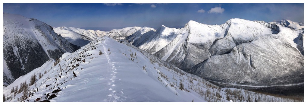
Heading back along the ridge
At the end of the ridge, looking east to the northeast ascent ridge
Last view of Cameron Lake
Near the bottom. Our first ascent of Mount Rowe, way back in 2006 went up this drainage.
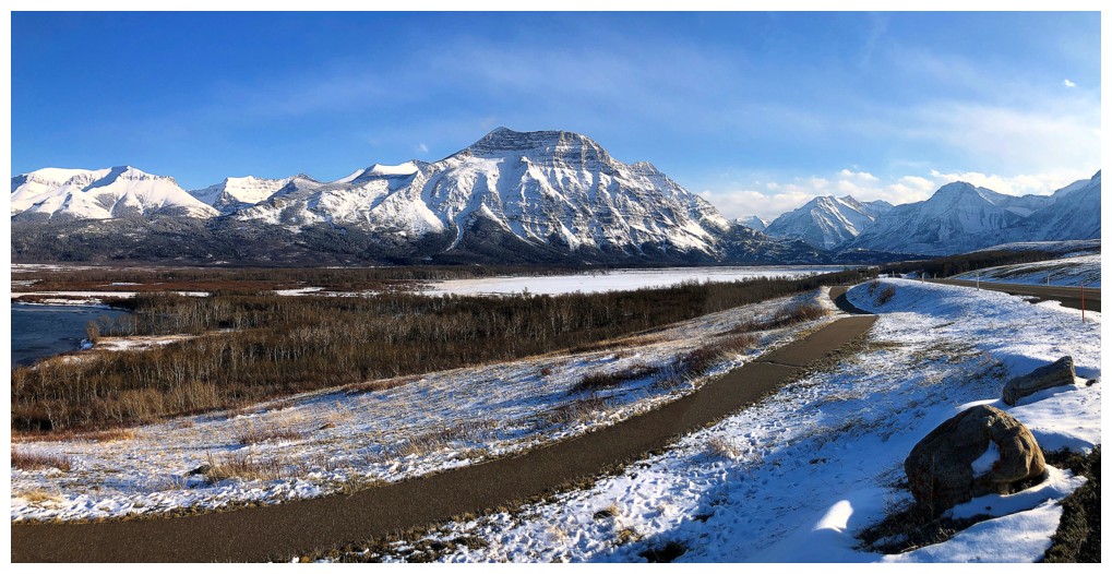
Stopping on the drive our to take in the way better than expected weather and view of Vimy Peak
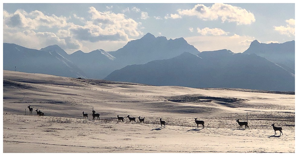
A herd a deer and Mount Blakiston
The End
LOG