“Screwdriver Ridge”
Mount Backus II
December 31, 2020
 Mountain heights: 1691 m, 1815 m
Elevation gain:
807 m
Round-trip
time: 5:13
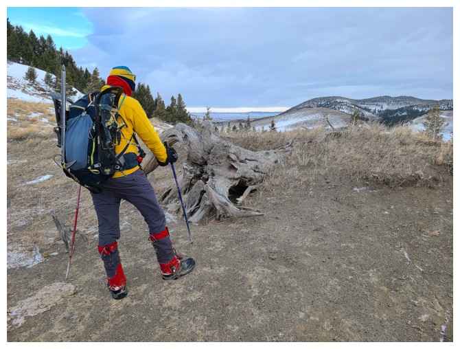
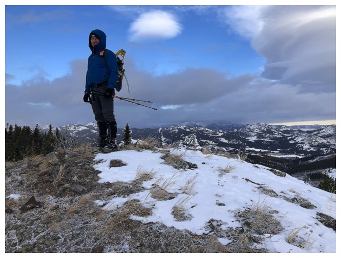
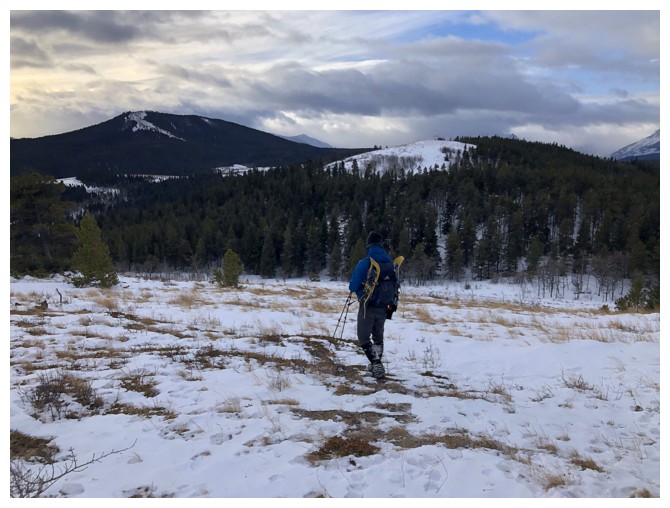
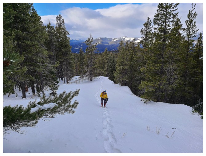
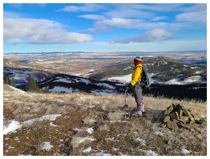
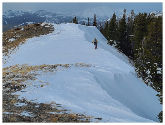
Hike and snowshoe with Dave.
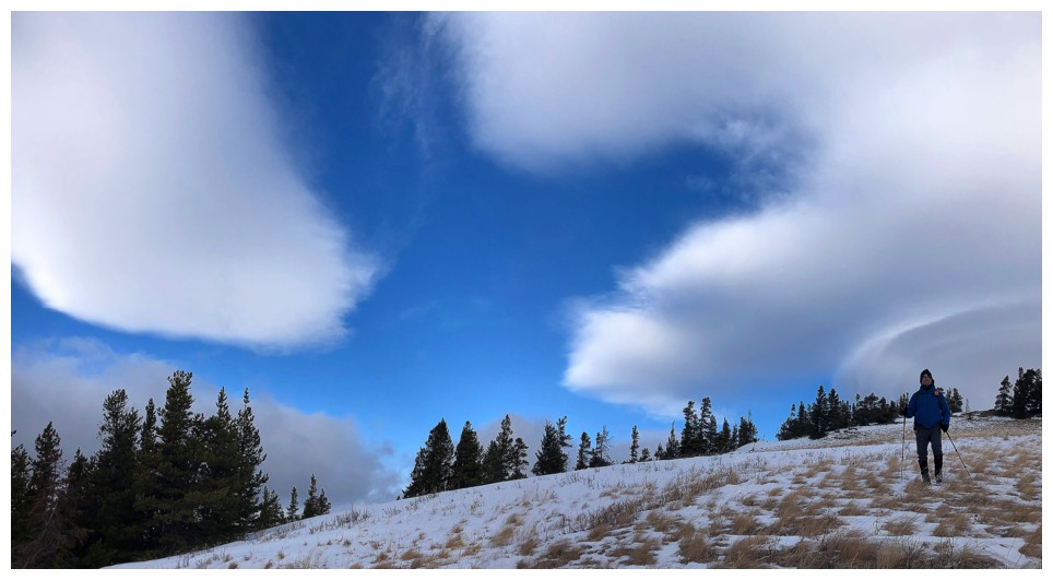
Last day of the challenging and bizarre year
of 2020 and the weather choose to act accordingly. With little hope of clear
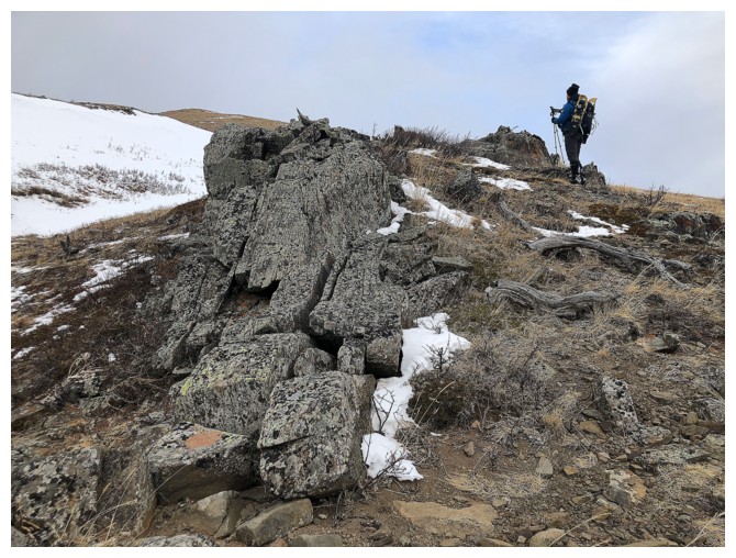
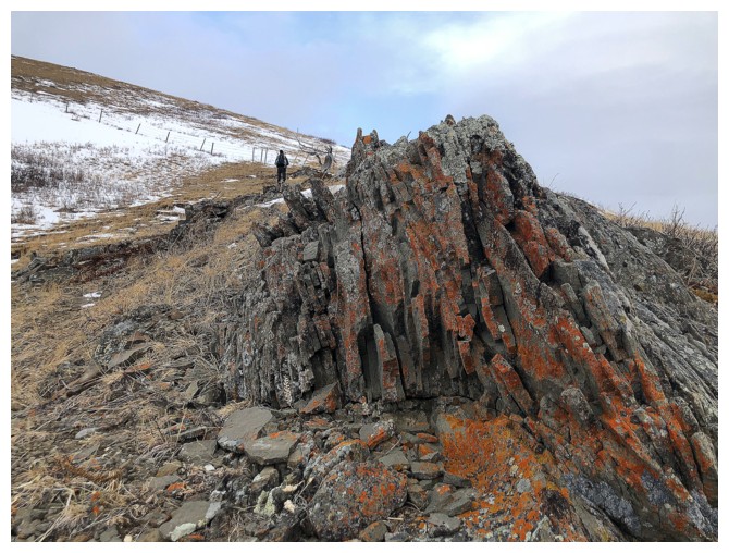
skies, Dave was gracious enough to do a repeat ascent of “Screwdriver Ridge”, the
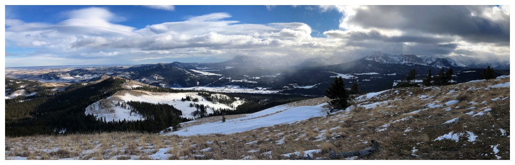
minor summit west of Blue Mountain (a most memorable trip in itself).
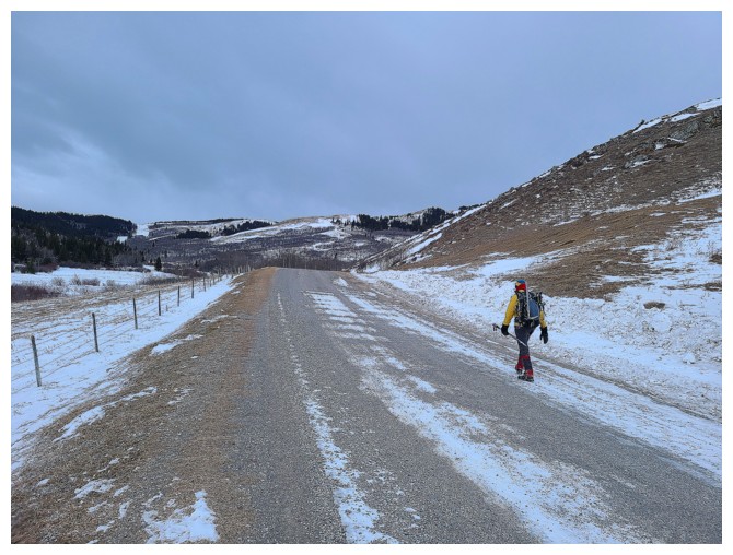
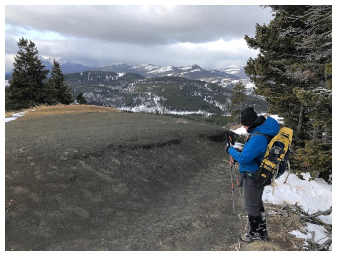
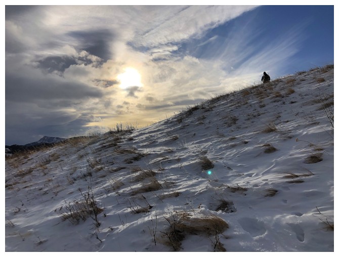
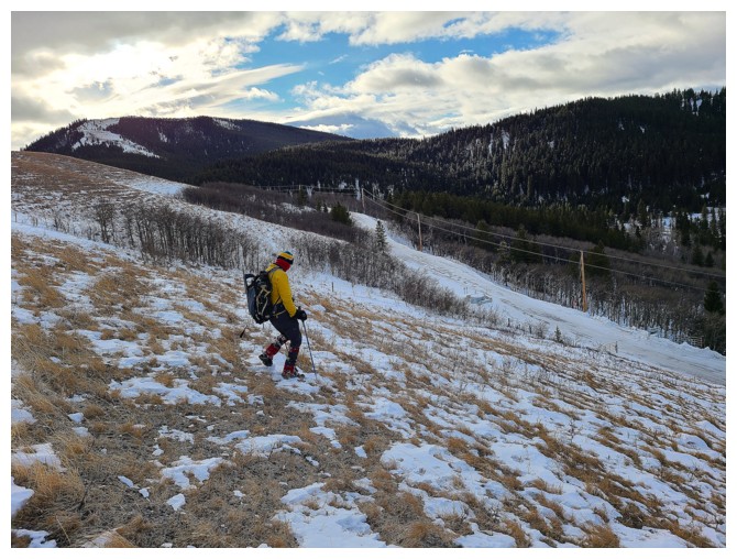
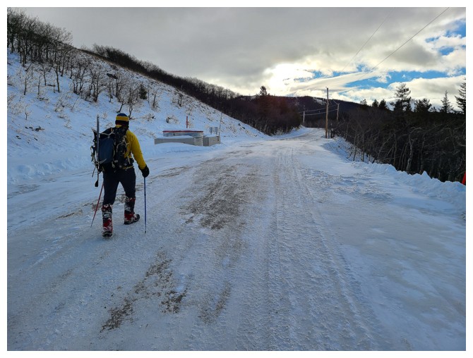
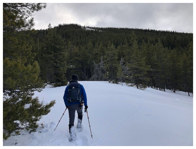
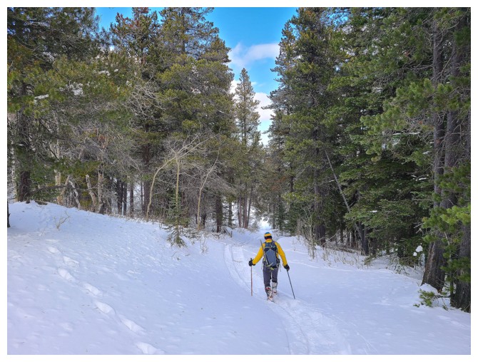
We chose to take a direct route to the summit
by first hiking a gas road to the south ridge of Screwdriver and then heading
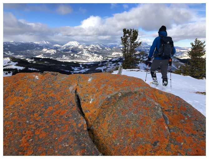
up from that point. The ascent was dead easy and we arrived at the summit about
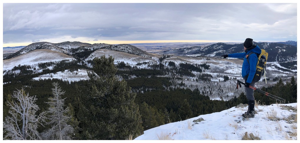
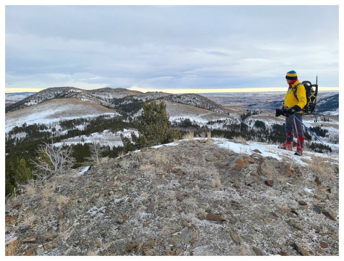
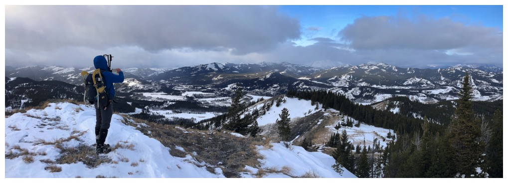
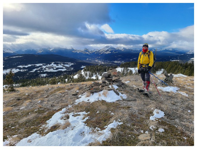
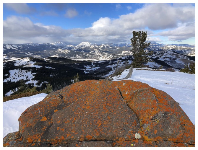
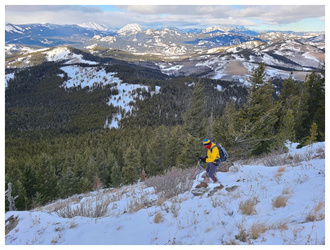
an hour after leaving the cars. As such, we decided some additional exploration was
warranted and made our way over to a highpoint, south of Screwdriver.
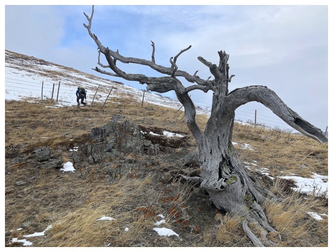
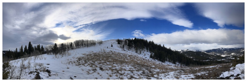
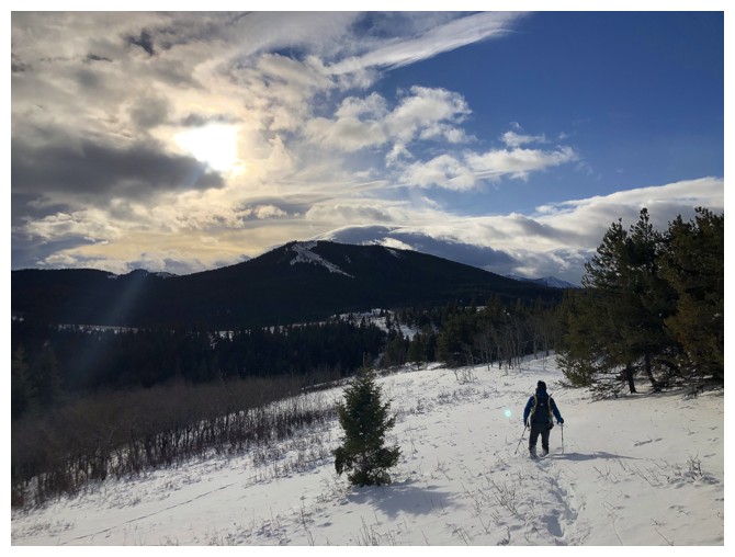
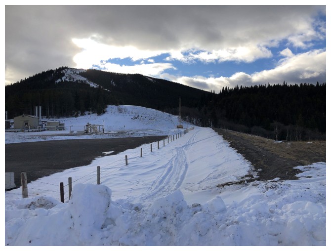
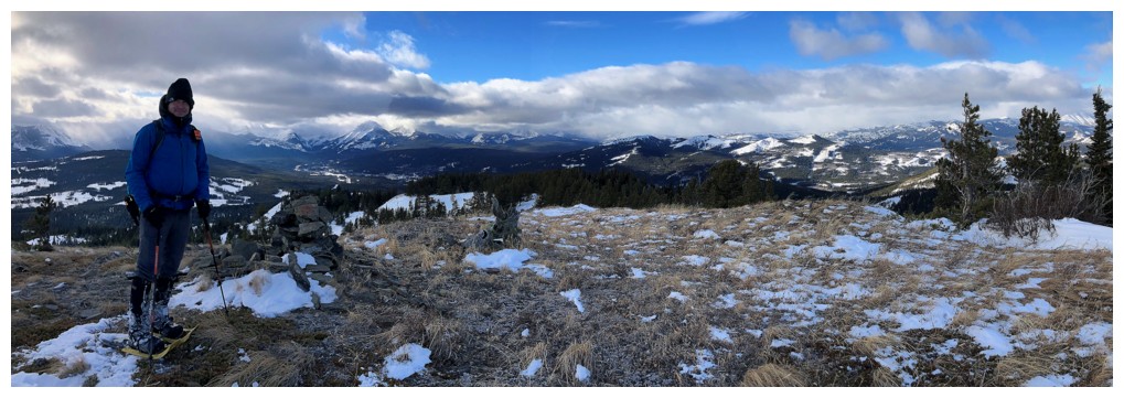
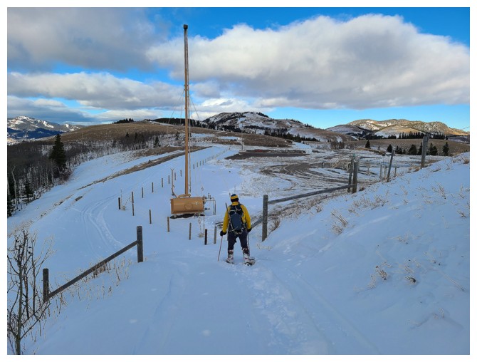
 At this point a loop route was looking good. Leaving
the summit we arrived at another gas road in short order and were soon heading
back to the start. That was until Mount Backus beckoned. Standing right in
front of us and with minimal elevation gain to get the top, we simply couldn’t
pass up an attempt, although the specific route was uncertain.
At this point a loop route was looking good. Leaving
the summit we arrived at another gas road in short order and were soon heading
back to the start. That was until Mount Backus beckoned. Standing right in
front of us and with minimal elevation gain to get the top, we simply couldn’t
pass up an attempt, although the specific route was uncertain.
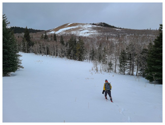
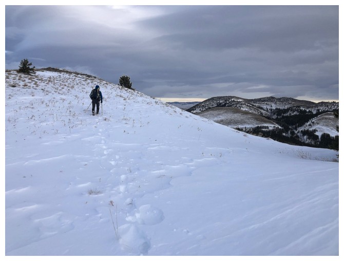
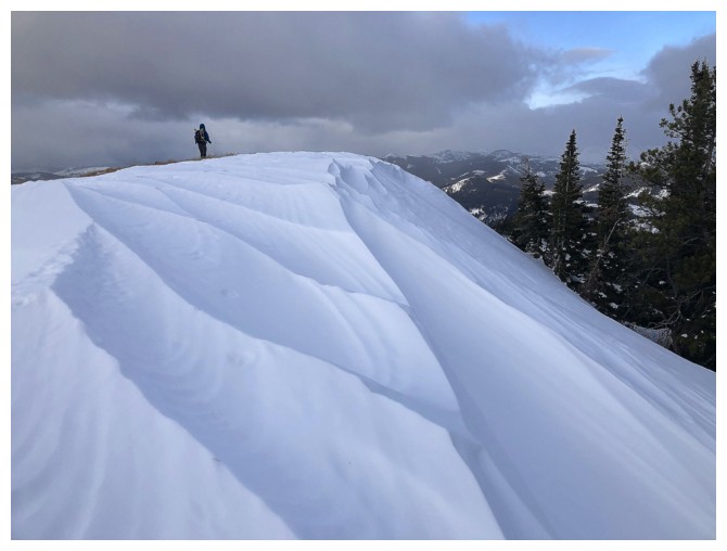
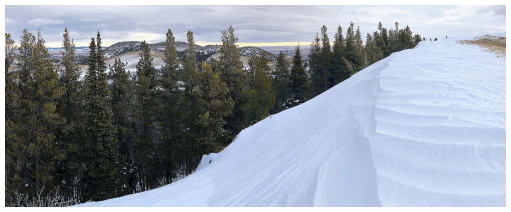
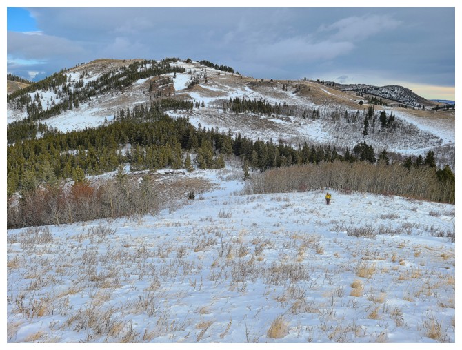
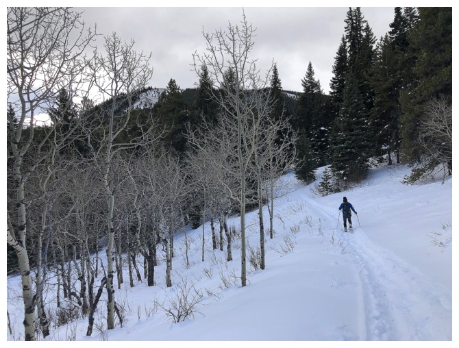
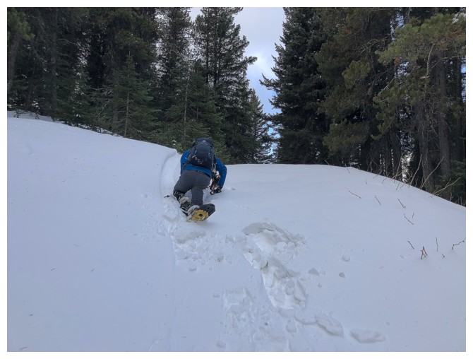
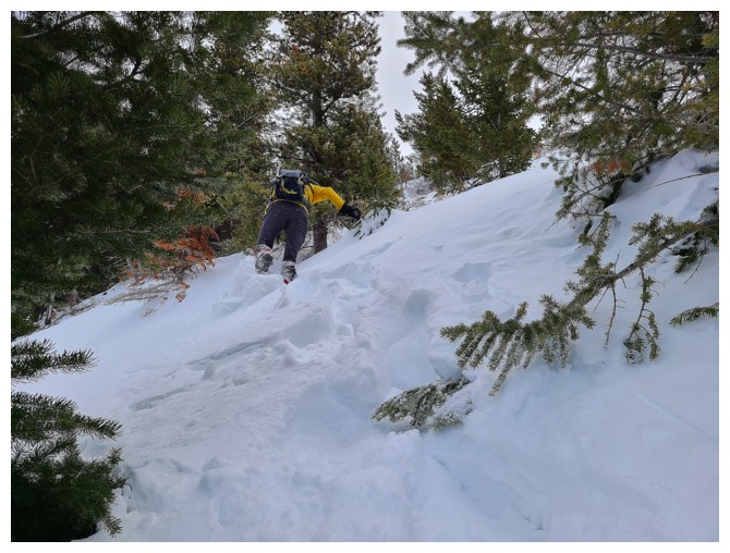
Good thing we lugged our snowshoes with us,
as they were on our feet only minutes into the Backus ascent; without them the
summit would likely have been unattainable, or at least excruciatingly strenuous!
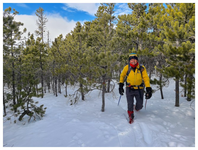
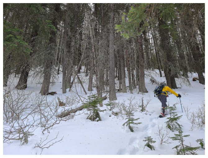
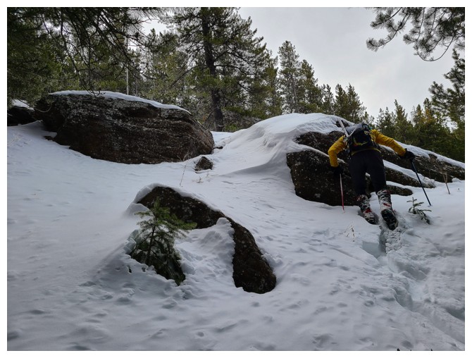
Dave led most of the way, breaking trail through deep, unconsolidated snow. Thankfully,
the intervening forest between the base of the mountain and the summit was relatively light and we
had no trouble finding a route to the summit ridge and then to the top.
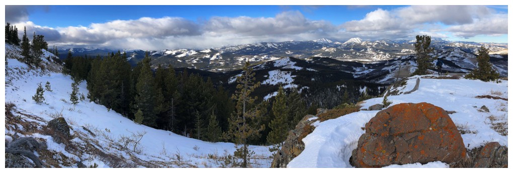
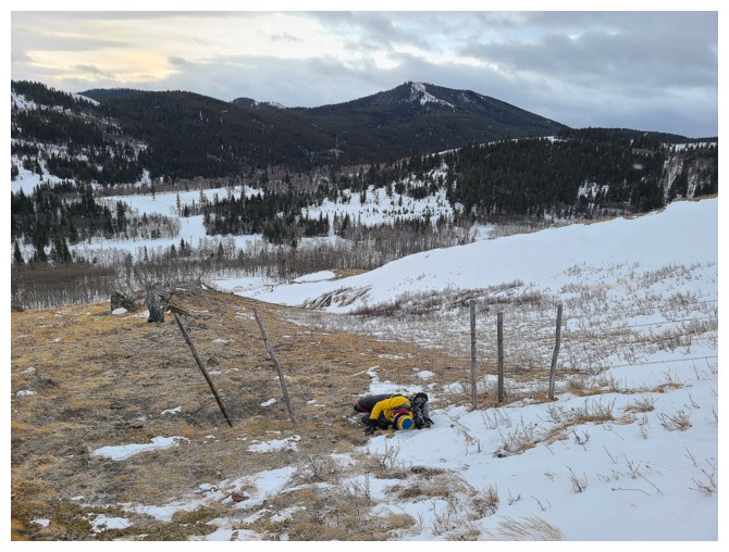
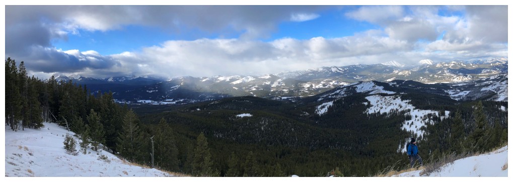
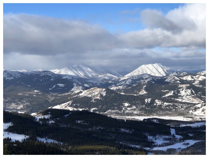
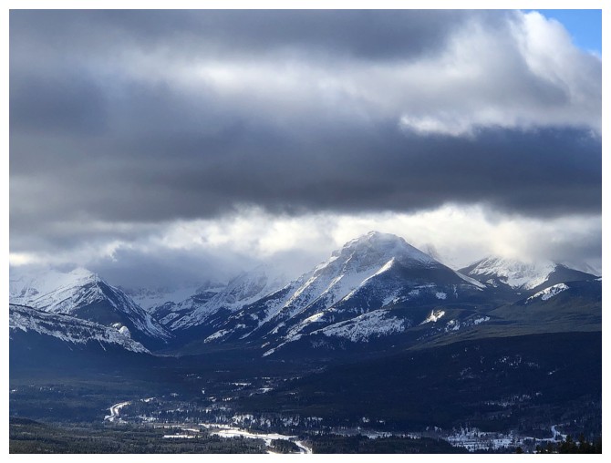
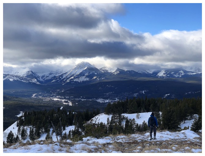
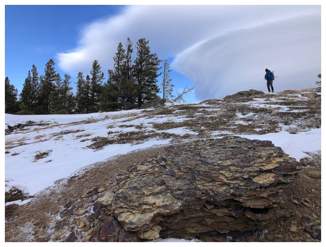
The summit view was good, although a far cry
from that of my first ascent of Backus, under completely clear skies. Taking a
direct, alternate descent route down to the gas road had some appeal, but after
discussing it (and seeing the big valley we would have to re-ascend) we decided
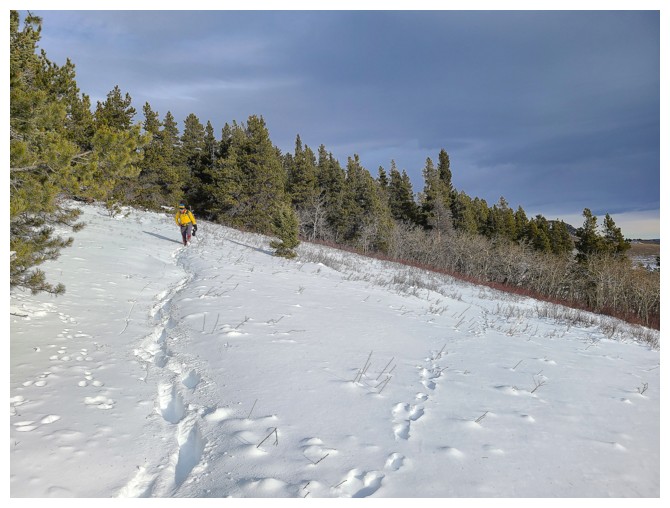
the long, known route was best. Descending our ascent route turned out to be
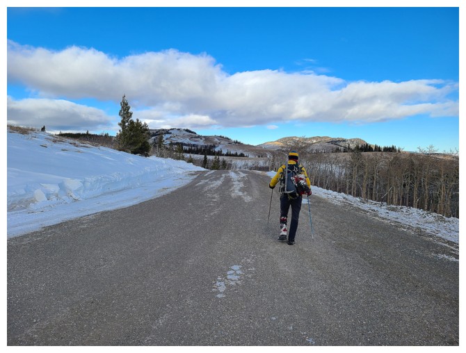
super fast and easy and we were back on the gas road in no time. A pleasant hike down
the road ended a very satisfying day on new terrain.
Click HERE to see Dave's excellent and very thorough report.