Turtle Mountain IV
September 22, 2018
Mountain height: 2209 m
Elevation gain: 880 m
Roundtrip time: 4:45
Solo scramble.
Usually the highlight of the Turtle Mountain scramble is an awestruck
reaction to the immense devastation caused when around 110 million tonnes of
the mountain collapsed in 1903, destroying the town of Frank and claiming more
than 70 lives. The scramble between the false summit (a summit that was created
as a result of the disaster), through tortured and ravaged terrain is one of
the most unique experiences the Rockies has to offer.
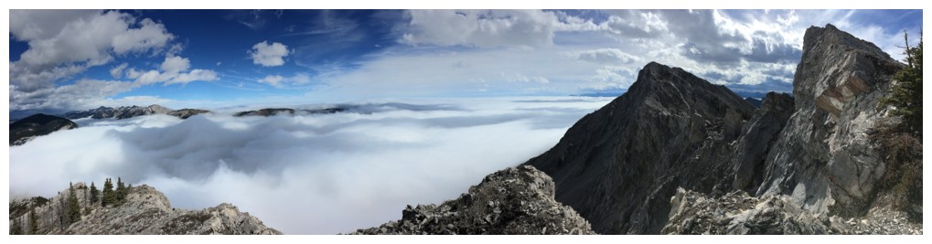
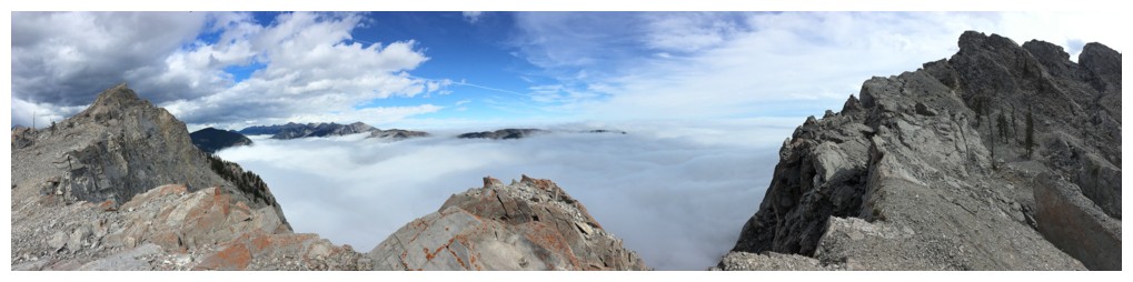
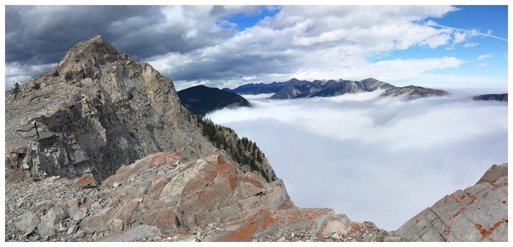
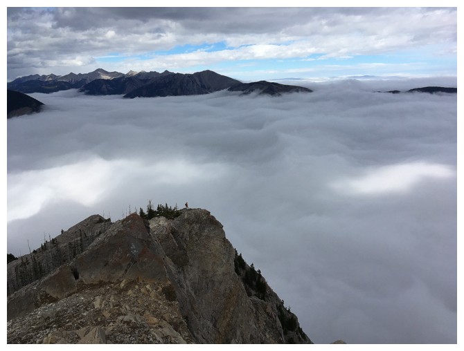
For this trip, however, a pretty cool inversion, and some wild weather
phenomena stole a little of the thunder from the starling, scenic interest of
the rockslide. Although not quite as dramatic as the Loomis attempt, Whirlpool Ridge, or Middle
Kootenay II, where completely clear skies reigned above the low clouds, the
cloud layer below Turtle provided stunning and surreal views from an already stunning and surreal mountain.
A more than worthwhile return to a Crowsnest favourite.
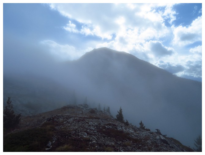
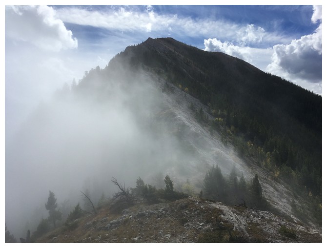
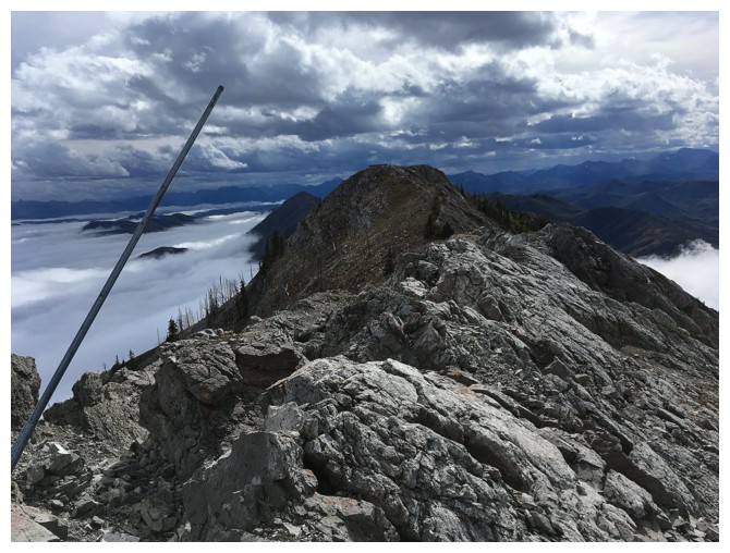
Gaining the ridge in foggy conditions
Some clear skies through the fog and mist
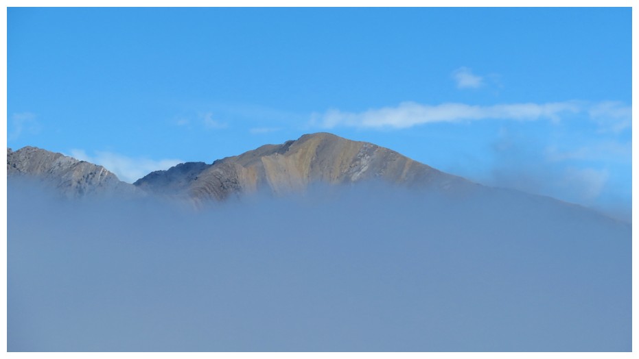
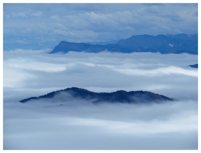
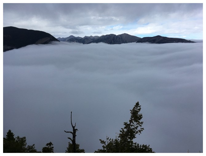
Livingstone South (a very memorable day with Scott) pokes through the cloud layer
Clouds creeping over the ridge behind me
The road ahead looks a little eerie
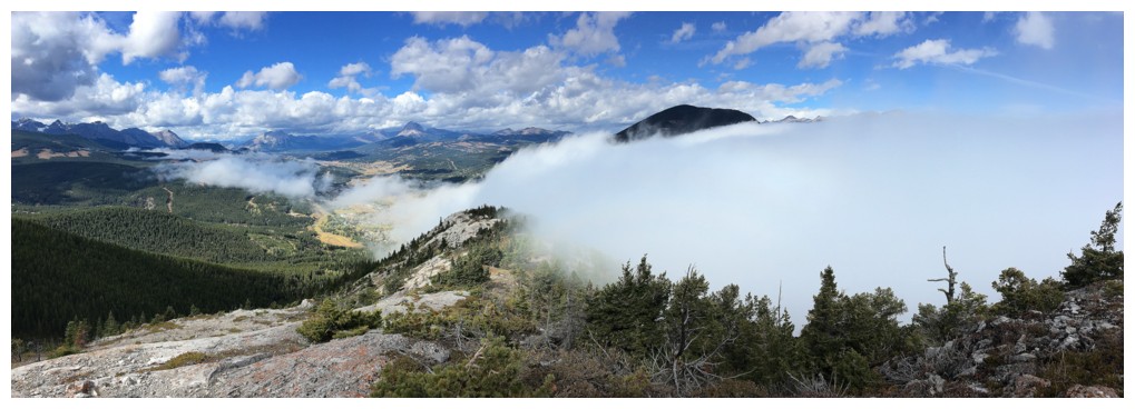
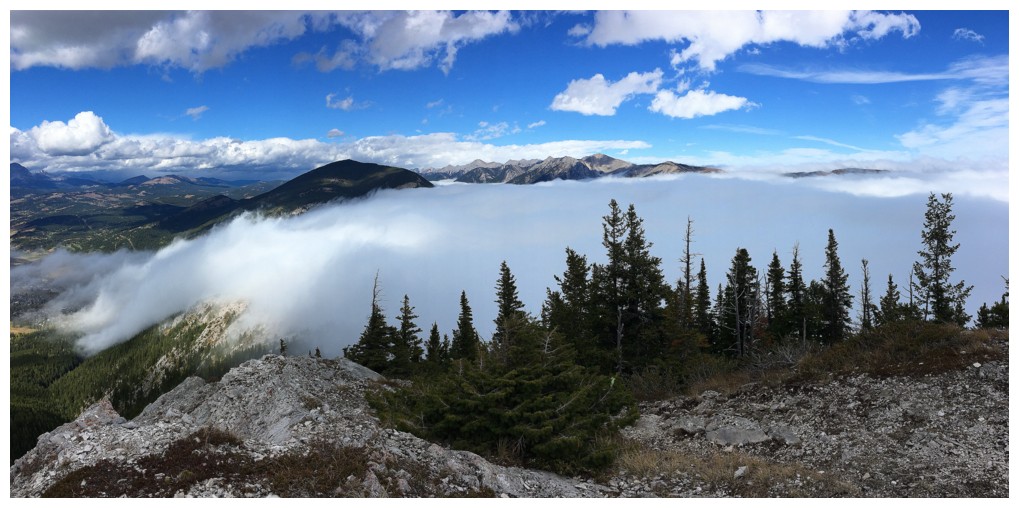
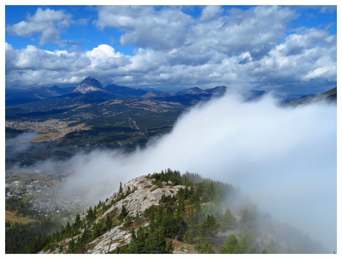
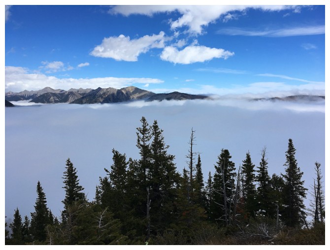
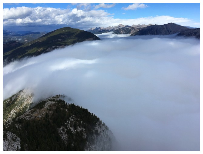
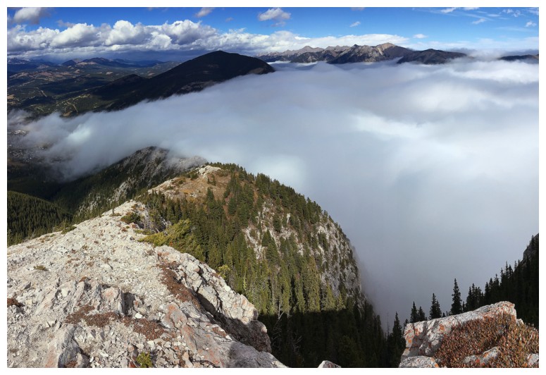
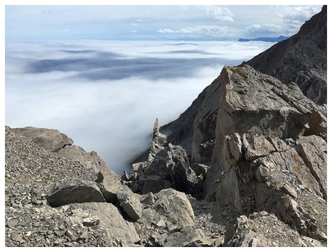
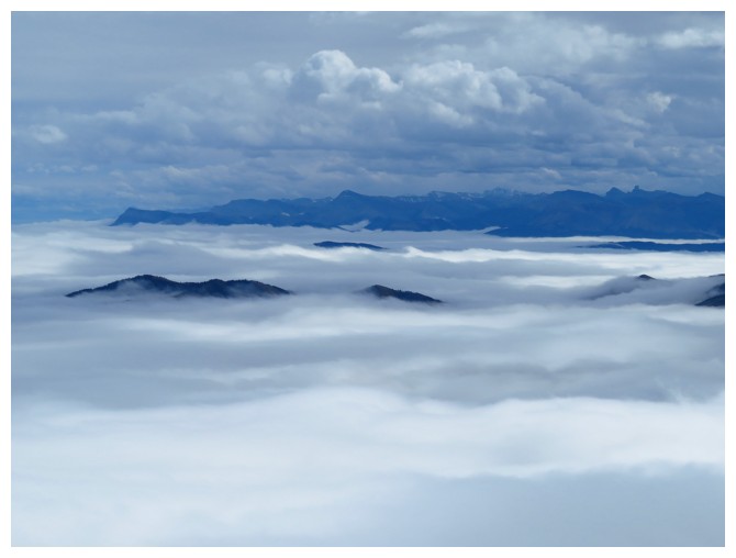
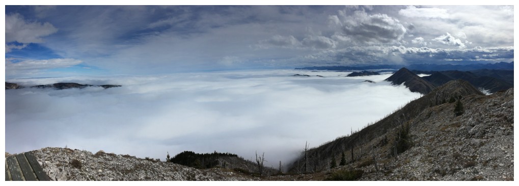
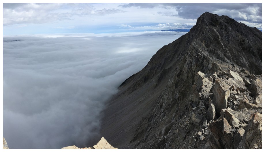
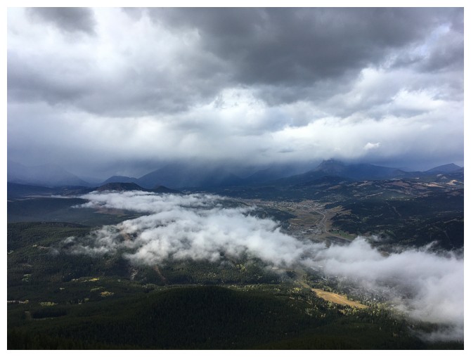
Here's where the magnitude of the cloud layer started to reveal itself
And yet there was little evidence of it ascending the ridge
There's some evidence
And more
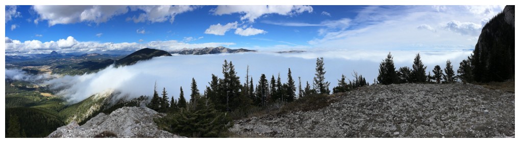
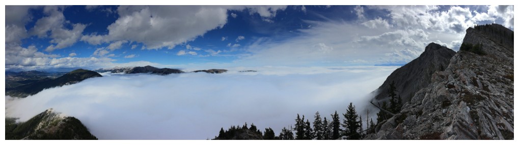
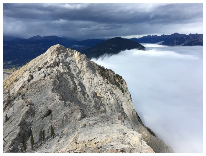
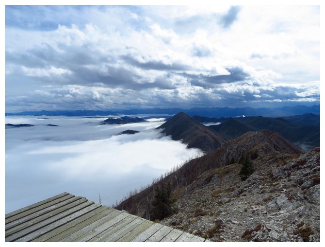
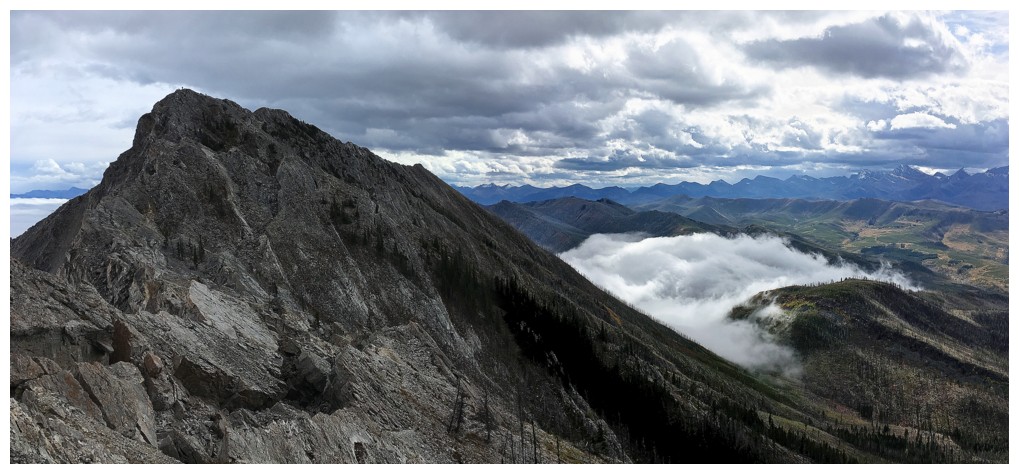
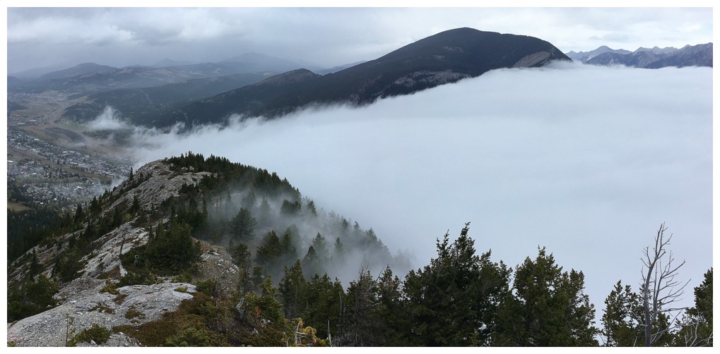
The cloud layer sat only on the east side of the mountain. There were no low clouds to the west, but lots of high cloud.
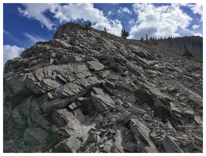
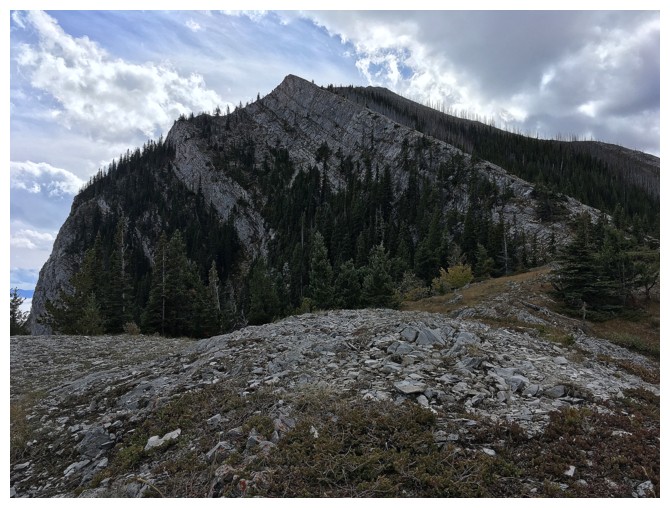
Looks like a typical ascent...
...until you look behind and see this
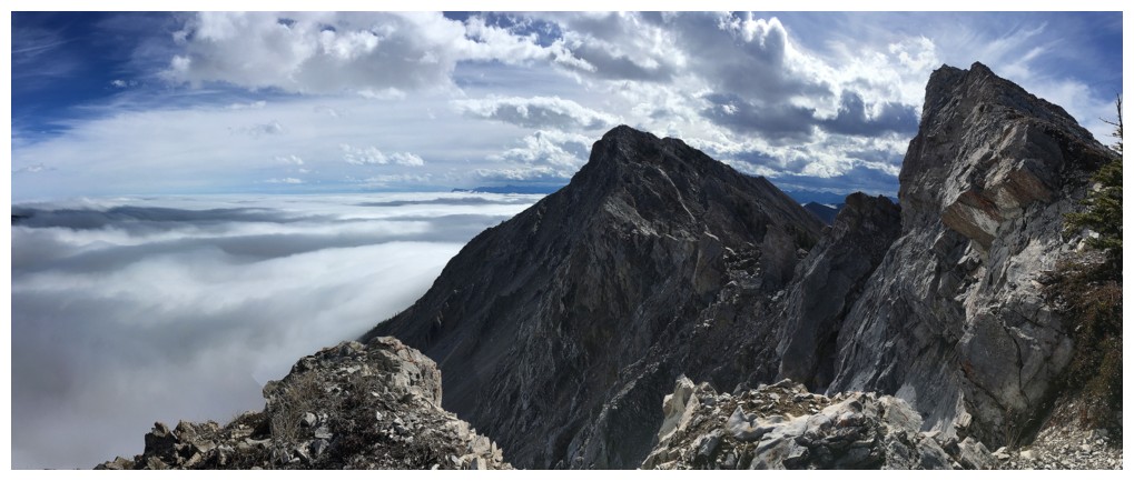
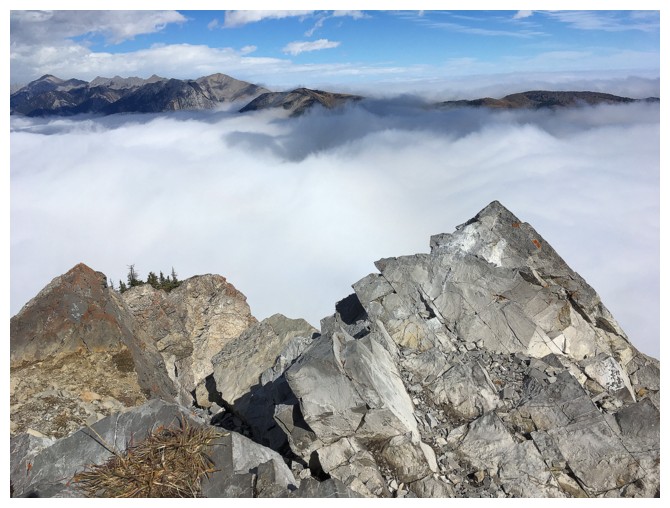
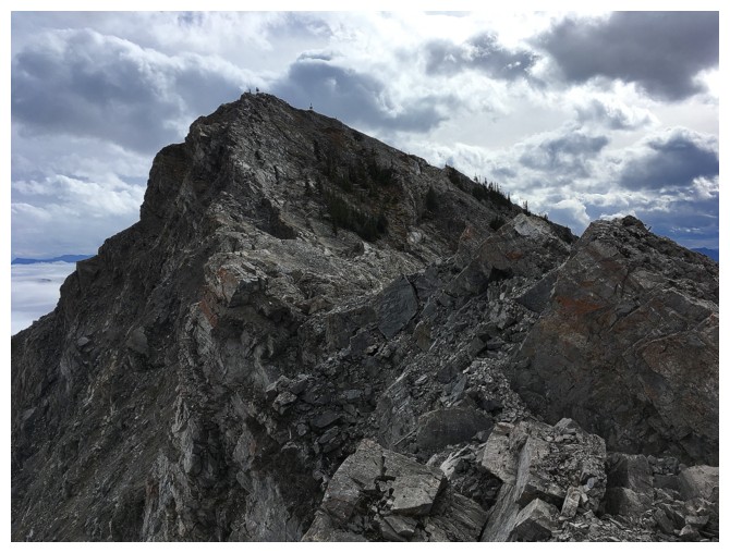
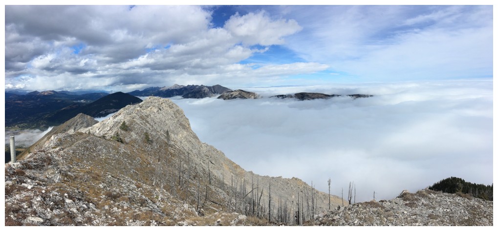
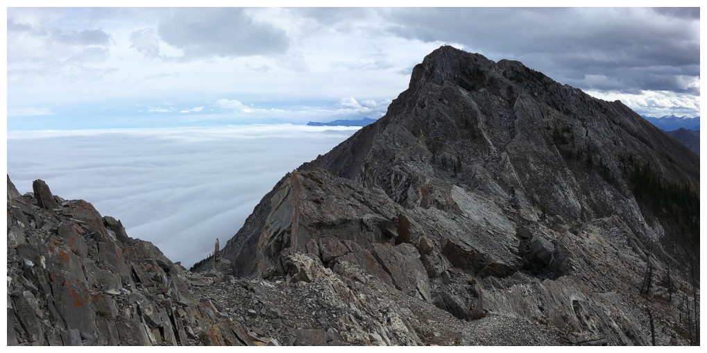
Both summits can now be seen at the right (false summit is farthest right)
The scene on the east side of Turtle
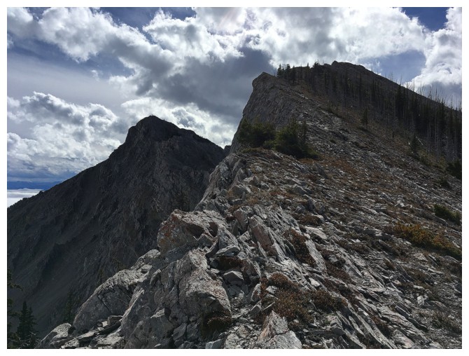
The two summits - there used to be a 110 million tonnes of rock between them
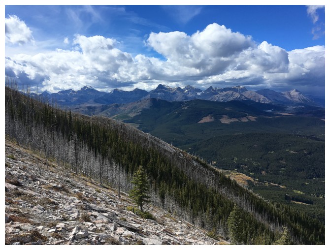
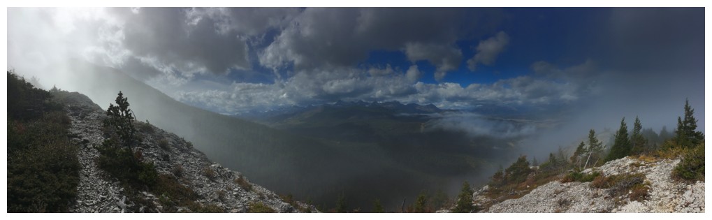
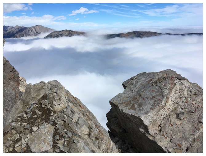
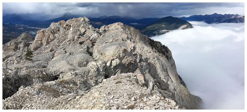
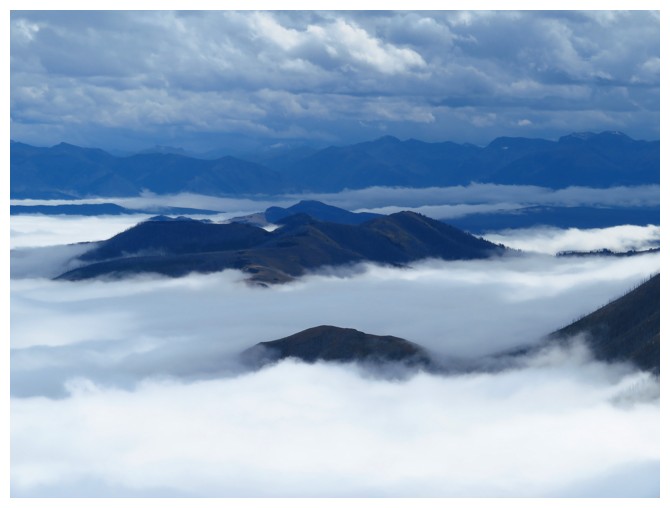
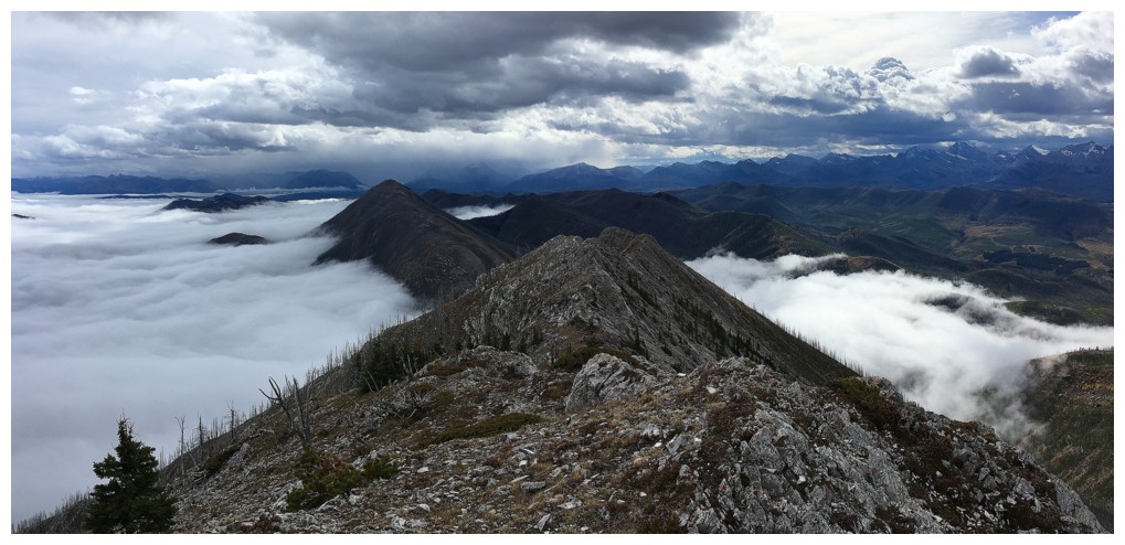
Relatively clear skies over the North York Creek area
Relatively clear skies to the north - at least up high!
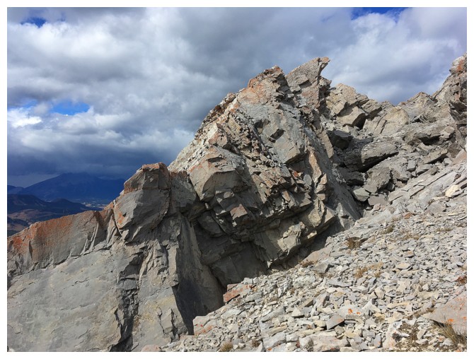
The false summit. Scenery that is standard on most mountains is more
surreal on Turtle because of how something such as this was created.
At the false summit, looking to the section of the mountain where it existed before April 29, 1903
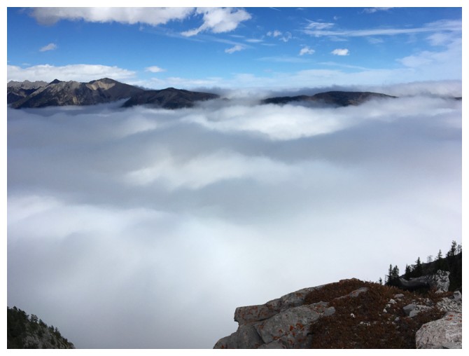
Still mesmerized by the low cloud
And all the cool rock exposed from the rockslide
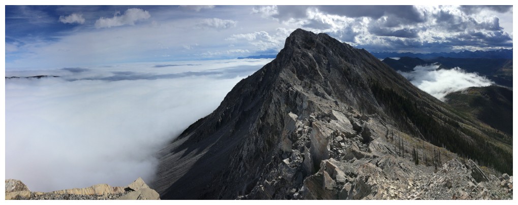
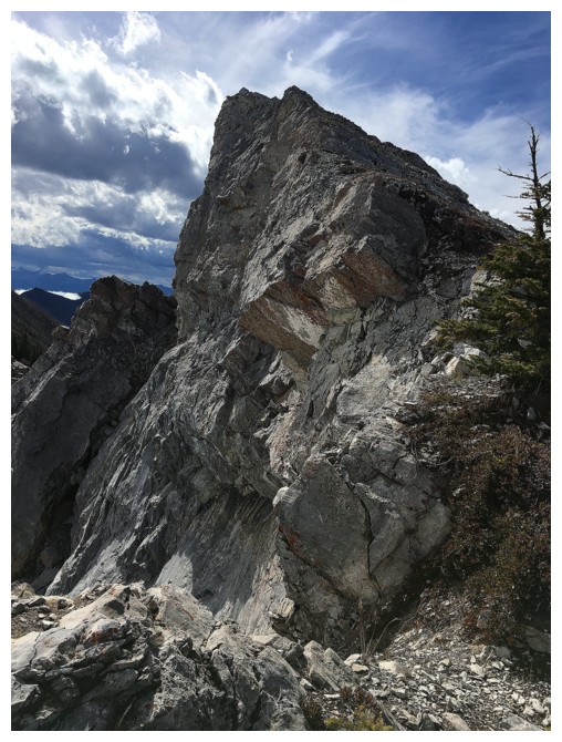
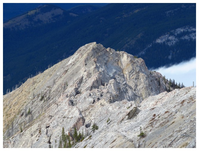
The true summit
The rock at the right is featured in a photo from Alan Kane's Scrambles in the Canadian Rockies, 2nd Edition
Passing a huge fissure in the rock
Halfway between the summits
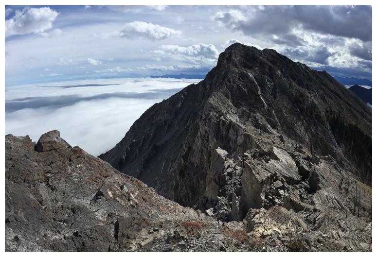
Looking back to the false summit
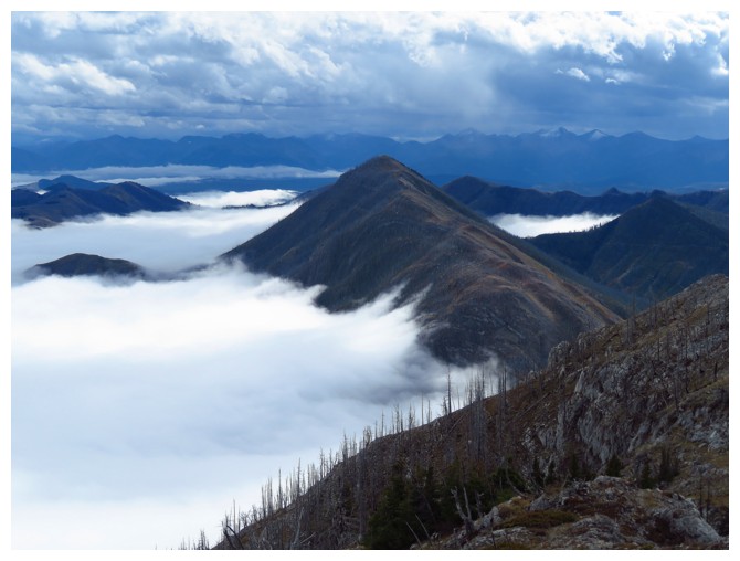
A random, small patch of low cloud to the southwest provided some interest throughout
Looking up to the true summit from the ridge
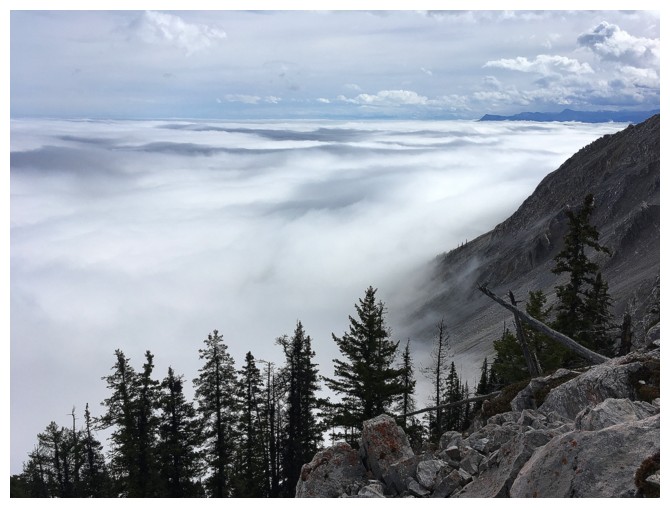
Not so clear skies to the north anymore
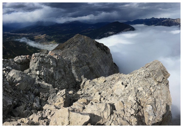
Actually looking a little apocalyptic to the north now!
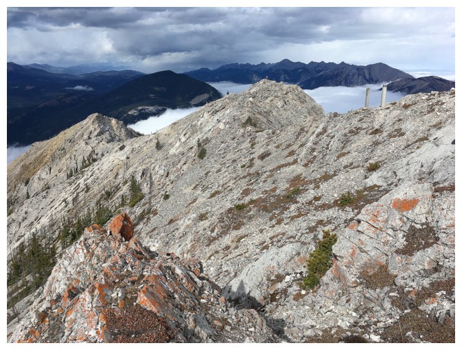
The true summit is actually a short ridgewalk away once you think you are at the top
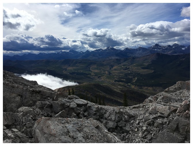
Summit view to the southeast
Poker Peak? Byron Hill?
Hillcrest Mountain is immediately recognizable
Not sure what the peak in front is, but I'll recognize Prairie Bluff from any angle (eight separate ascents will do that!)
Though distant, other Castle favourites are visible: Pincher Ridge, Victoria Peak, and Windsor Mountain to name a few.
The false summit getting some Sun
Looking back to the north
A few more summit views before descending
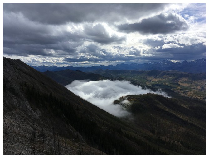
There's that low cloud again to the southwest
Back near the false summit
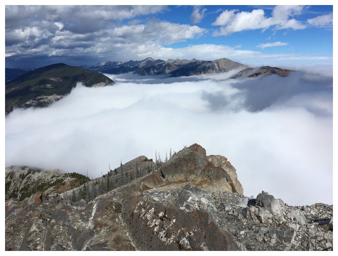
The cloud layer continues to persist throughout the descent
A lone figure appears on the ridge below
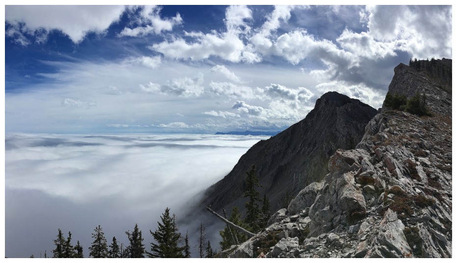
And the weather worsens to the west
Last look at the clouds below
The End