Table Mountain III and Table Top Peak
December 16, 2017
Mountain
heights: 2225 m, 2270 m
Elevation gain: approximately 1100 m
Round-trip
time: 6 hours
 Scrambling
with Mark.
Scrambling
with Mark.
Over
the
years I’ve made some fairly bold and perhaps overly dramatic statements
about ascents of various mountains being “one of the best trips in the
Rockies”.
Well…here’s another one – Table Mountain IS one of the best trips in the
Rockies!! Yes, after my third ascent of the unassuming, lowly, front range, semi-impressive
looking peak, Table Mountain has now moved into the Top Ten of my favourite
mountains.
Time
constraints had prevented me from summiting nearby and higher “Table Top Peak”
on my most recent ascent
in September and so this was a perfect opportunity to take Mark up Table and
Table Top.
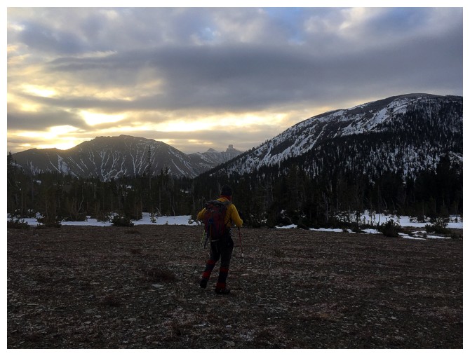
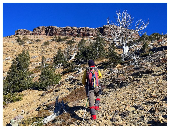
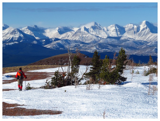 In less
than stellar weather, we first headed towards Table Top Peak, leaving the
well-marked trail, in hopes of cutting out a little of the overall distance to
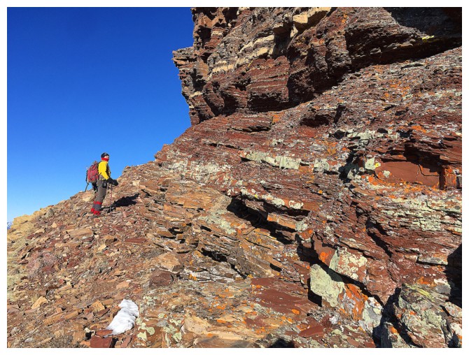
the summit. Initially the plan seemed to work well and was quite scenic (an
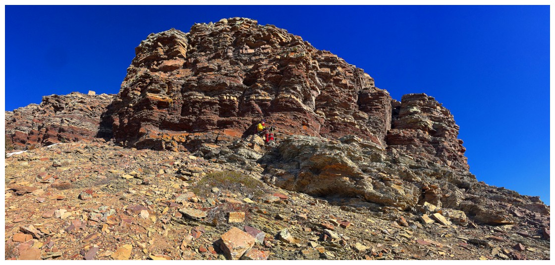
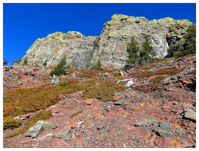
amazing rock band of red argillite and other colourful rock would have been
unreal on a clear day with the sun shining it). However, once atop the ridge,
traversing over to the correct ascent line for Table Top required several ups
and downs over snowy (sometimes supportive and sometimes not) terrain and was
self-defeating in retrospect – better to just go to the intermediate highpoint
between Table and Table Top first.
In less
than stellar weather, we first headed towards Table Top Peak, leaving the
well-marked trail, in hopes of cutting out a little of the overall distance to
the summit. Initially the plan seemed to work well and was quite scenic (an
amazing rock band of red argillite and other colourful rock would have been
unreal on a clear day with the sun shining it). However, once atop the ridge,
traversing over to the correct ascent line for Table Top required several ups
and downs over snowy (sometimes supportive and sometimes not) terrain and was
self-defeating in retrospect – better to just go to the intermediate highpoint
between Table and Table Top first.
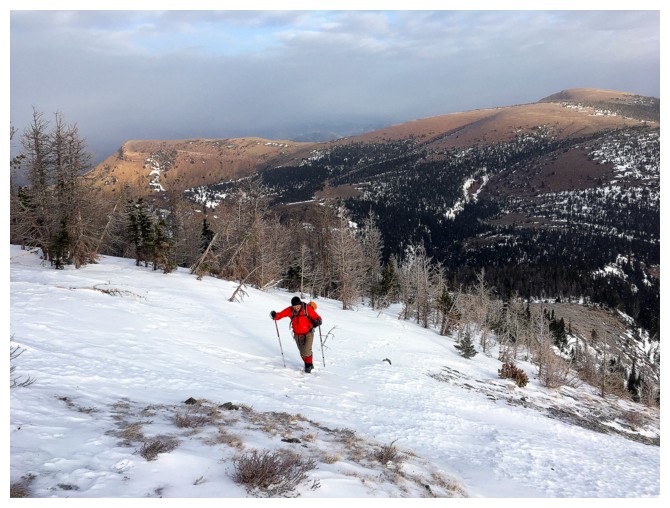
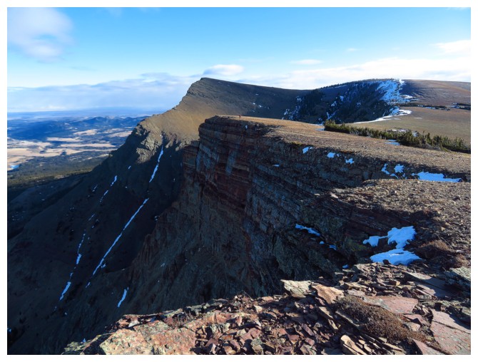
Nevertheless,
once on the right ridge, the ascent of Table Top was an easy affair, except for
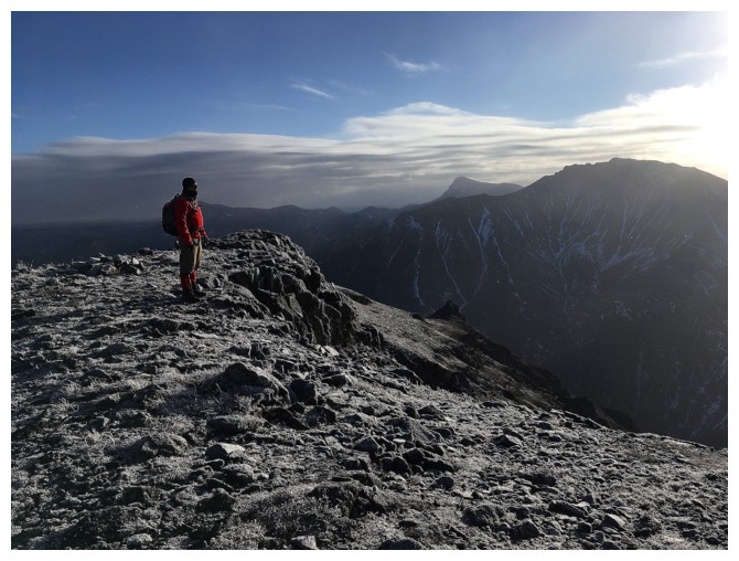
a couple of spots of thigh-deep post-holing and a brisk wind that made the air
temperature insanely cold! The weather continued to kinda’ suck but at least
made for some interesting and atmospheric summit views. Not to “beat a dead horse” (funny saying
when you come to think of it – what kind a sadist beats any horse – alive or
dead!), but those views would have been remarkable on a clear day. See Vern’s and Dave’s
trips for a better look and their very interesting route up the peak.
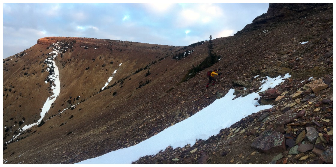
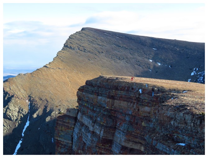
 After
tolerating the cold for as long as we could, a rapid descent of Table Top
followed and before long we were on our way to the summit of Table Mountain.
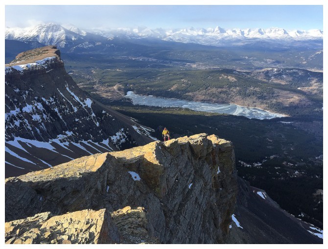
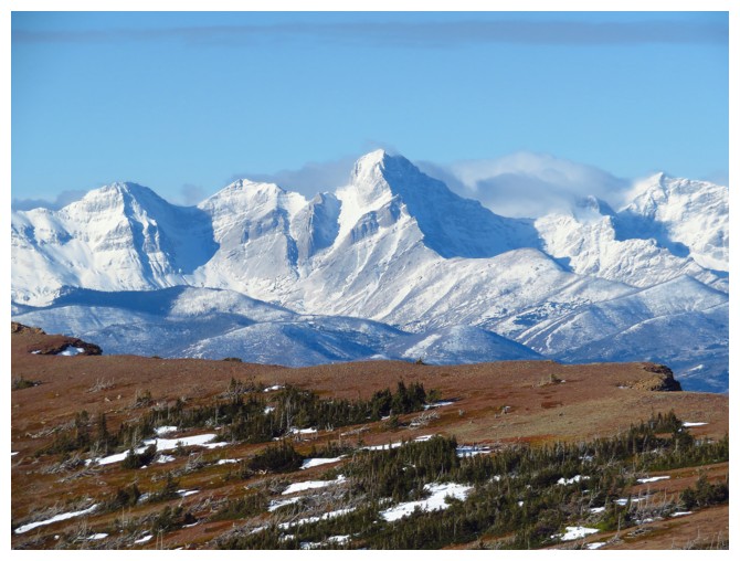
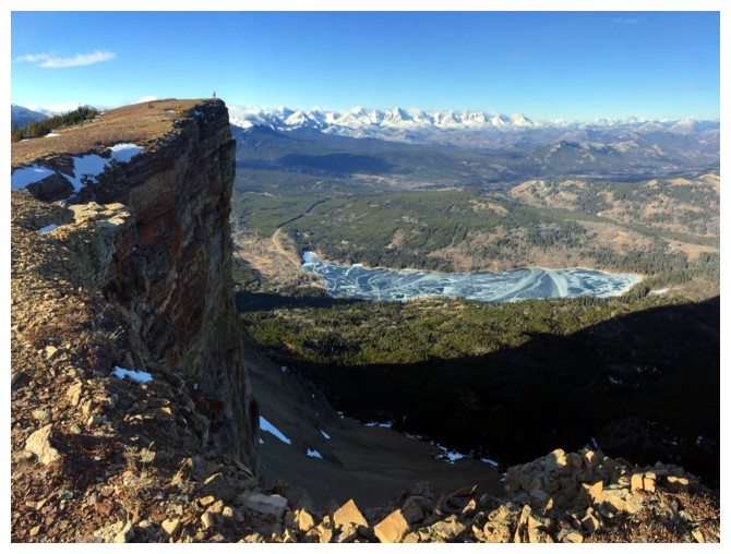
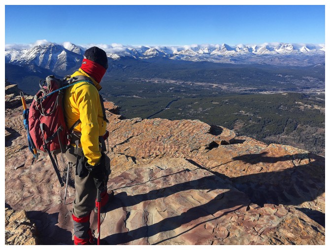
The views from this summit are likewise remarkable, especially if you go west for
a short distance. Here, there is a striking view of Table’s infamous Western Plateau
(as I like to call it) with Beaver Mines Lake and a host of the mountains of the
Crowsnest area in the background. Mark was quite impressed!
After
tolerating the cold for as long as we could, a rapid descent of Table Top
followed and before long we were on our way to the summit of Table Mountain.
The views from this summit are likewise remarkable, especially if you go west for
a short distance. Here, there is a striking view of Table’s infamous Western Plateau
(as I like to call it) with Beaver Mines Lake and a host of the mountains of the
Crowsnest area in the background. Mark was quite impressed!
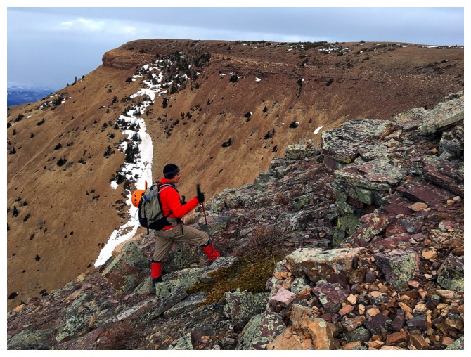
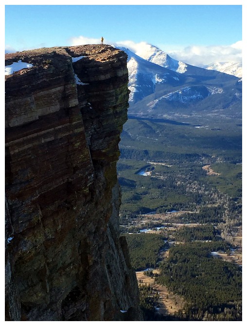
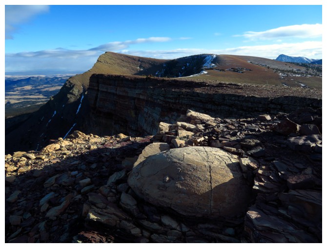
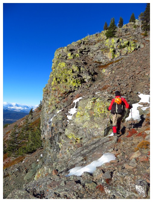
Needless
to say we had to check out the Western Plateau before leaving the mountain. The traverse over to the plateau and its
colourfully layered vertical north face is pure mountain perfection. Mark again
was very impressed!
Although
we intended to descend via the hiking trail, our exploration of the Western
Plateau had fortuitously ended right at the top of the weakness in the rock
band that guards the seemingly impregnable west side of the Plateau. Linda
Breton and I had found this weakness way back in 2005 and it had become a
feature of the scramble route up the mountain.
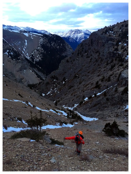
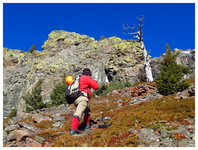
This was
the quickest route down and so off we went. It was also the part of the trip that
spawned the previous statement, “Table Mountain IS one of the best ascents in
the Rockies” (or in this case, descents!). Going down this route was absolute
magic – the impressive (again!) red rock, sun-bleached dead trees, evergreens
and shrubbery, lichen-covered black rock, ice in the drainage, a perfectly blue
sky above – stick it altogether and you have a recipe for an incredulous experience
and that’s exactly what we got! We couldn’t move more than 10 metres down the
mountain without having to stop to take it all in. We were BOTH impressed!!!
What a
day! Hats off to Table Mountain, that now joins the ranks of:
Edith Cavell
The North Towers of Mountain Saskatchewan 1 and 2
Cathedral Mountain
Noseeum Peak 1, 2, 3 and 4
Mount Logan
Mount Wilbur
Mount Henkel 1, 2
Victoria Peak and Victoria Ridge
Altyn Peak and Appikuni Mountain
as but a handful of my
favourite mountains in the Rockies.
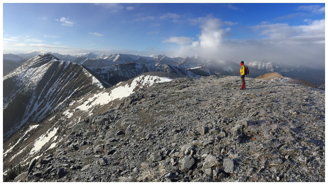
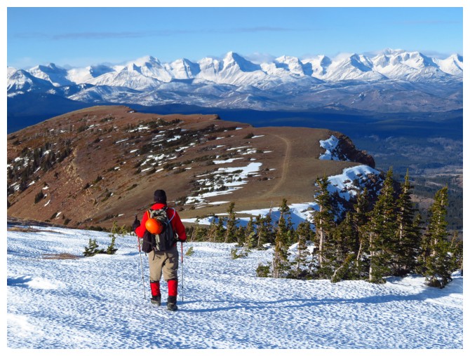
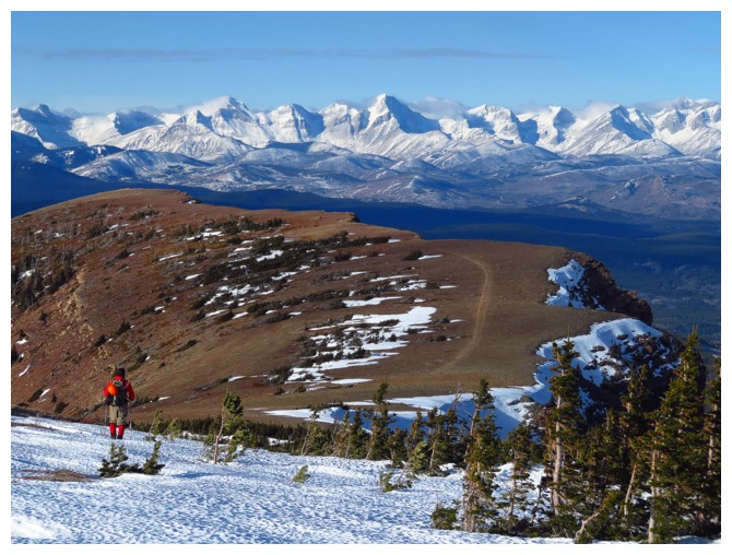
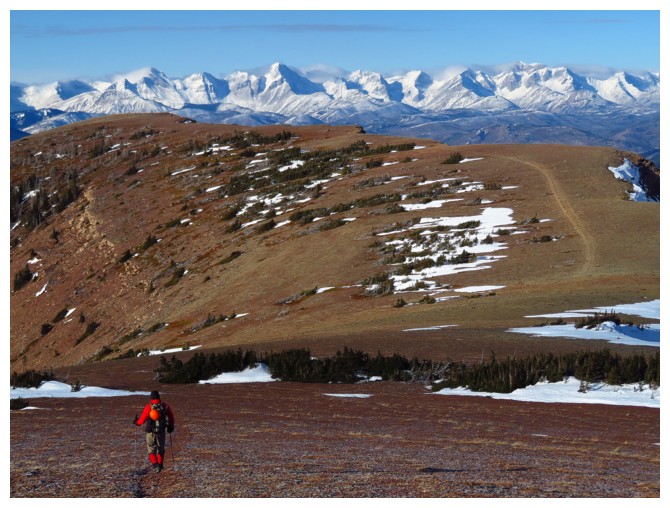
Slogging up to the ridge
The Western Plateau to the left
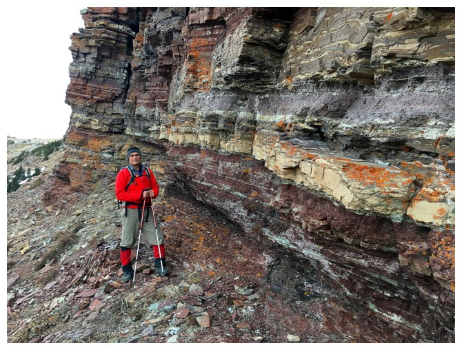
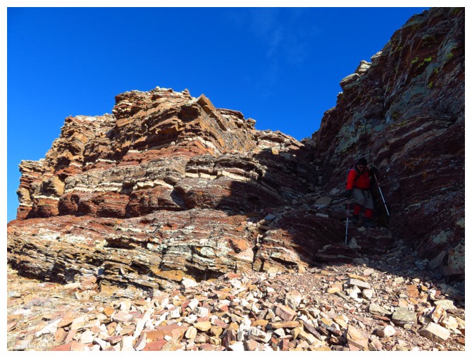
The first spectacular rock band
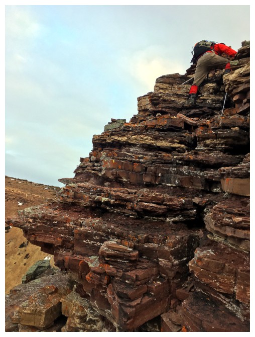
And some fun scrambling to get up it
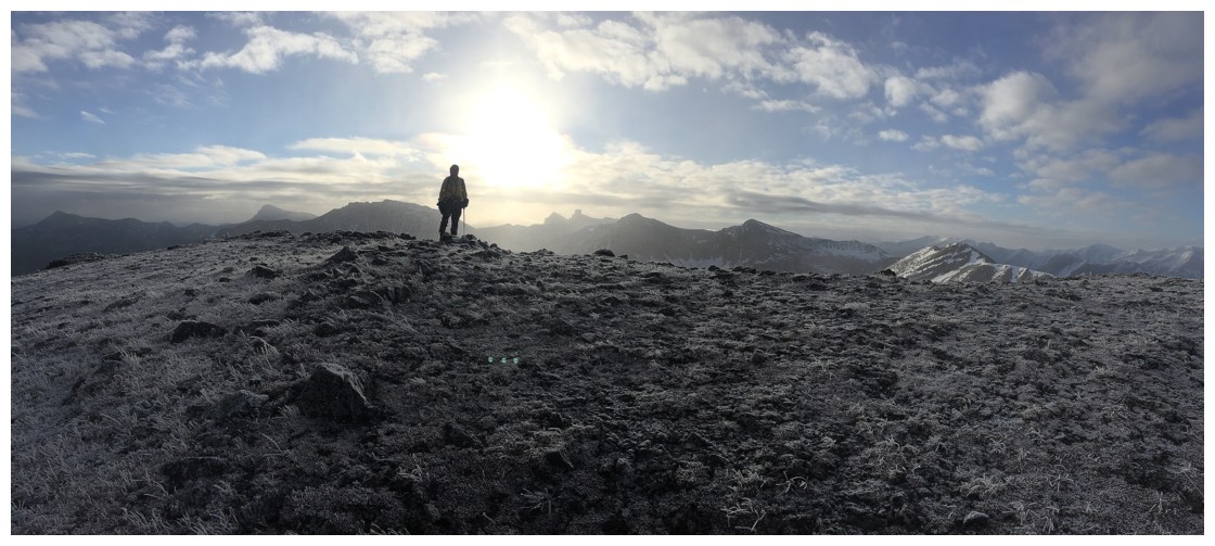
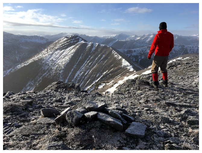
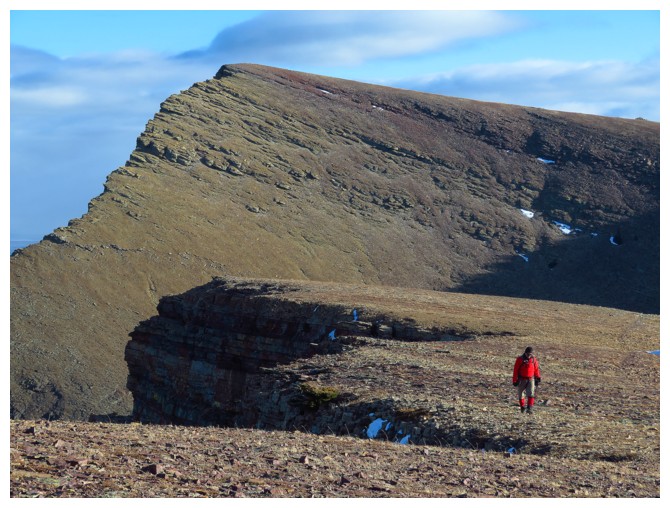
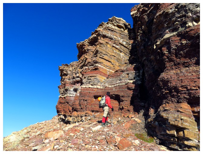
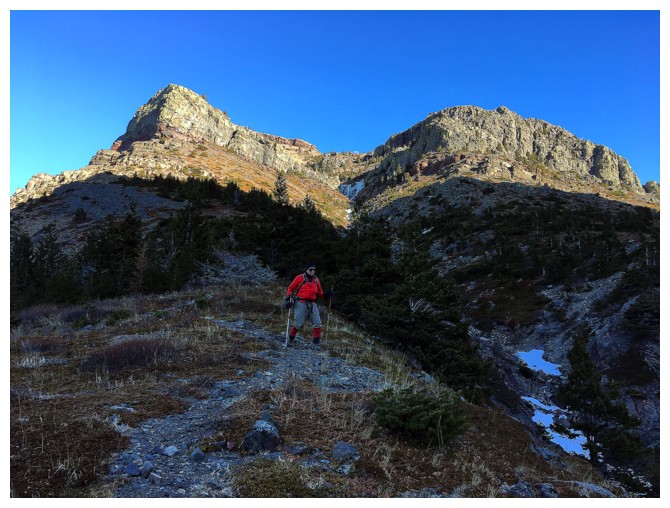
Heading to Table Top Peak at the right
Getting close to the summit. Table Mountain is behind
At the top of Table Top
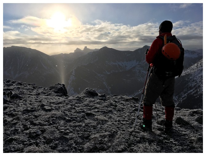
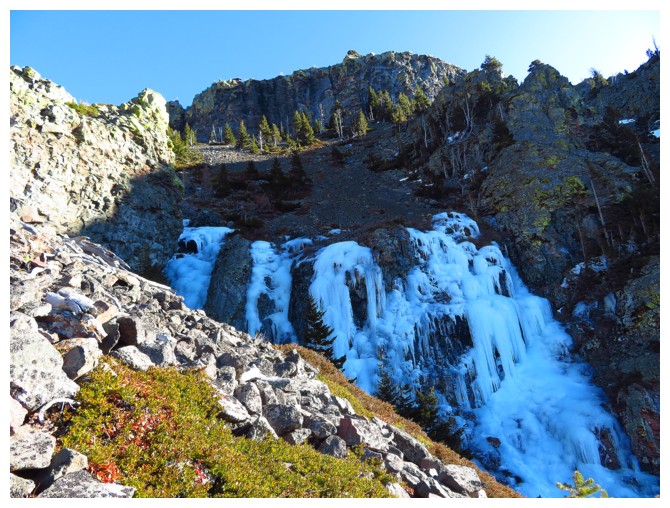
Due to the frigid temperatures, the air was full of ice crystals
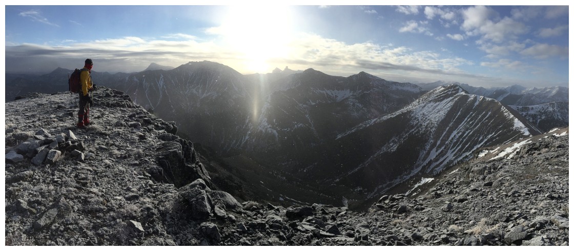
The summit view includes some of the Castle favourites: Prairie Bluff, Victoria Peak, and Mount Gladstone.
Windsor, Castle, "Larry" and "Frankie" are also visible
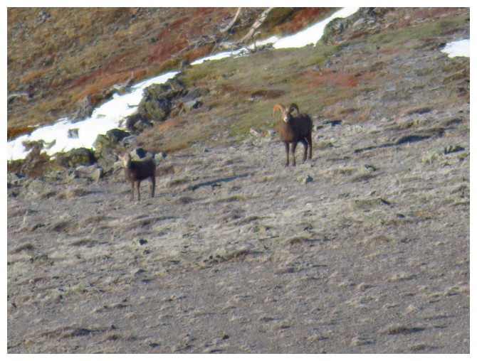
Somebody is watching us from afar
The traverse over to "Whistable Peaks" looks awfully tempting
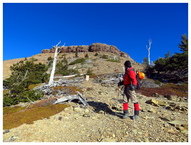
Improving weather
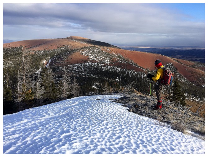
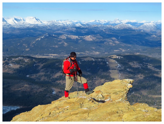
Table Mountain beckons
Already there!
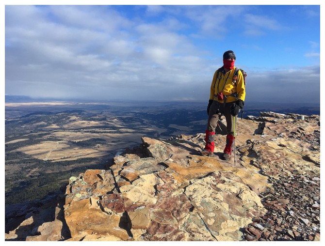
The best view is a short distance to the west
Looking back at Mark near the summit
He joins me down lower
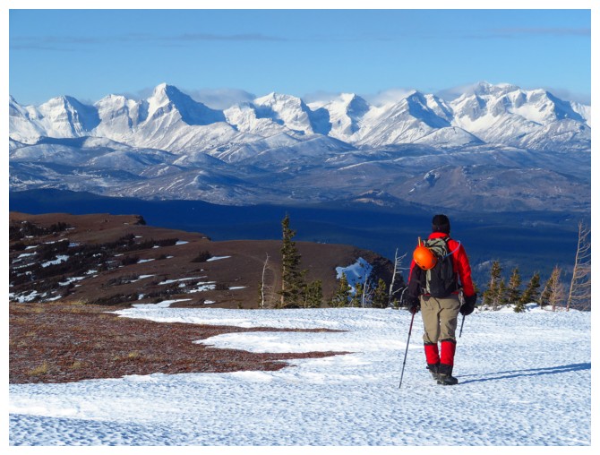
The traverse to the Western Plateau begins with good views of the southern end of The Flathead Range
It was very hard not to take a million or so photos!
Mount Darrah
The vertical north face
Good spot for base jumping!!!
Looking back along the ridge and the summit of Table
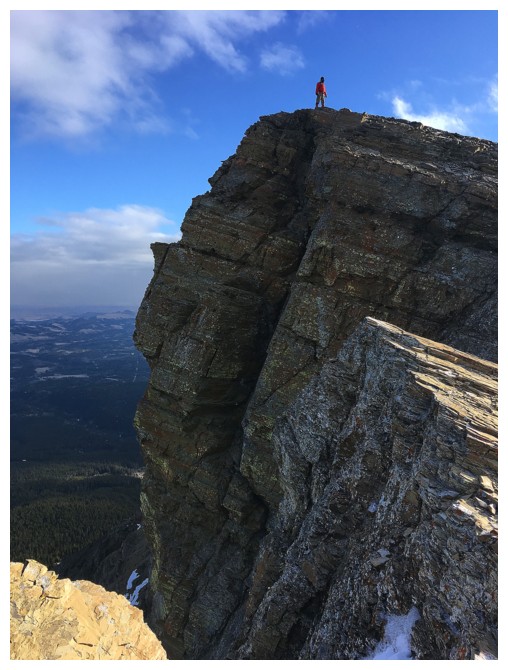
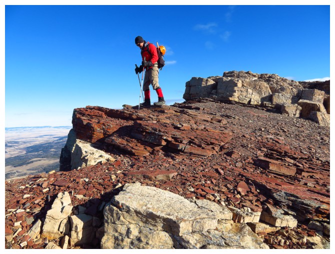
Getting a little to close to the edge!
Mark hikes the plateau
Enjoying the ripple rock at the far end of the plateau
And other interesting rock
Looking down the vertigo-inducing face
Mark descends the weakness
Checking out the unreal rock band that guards the Western Plateau
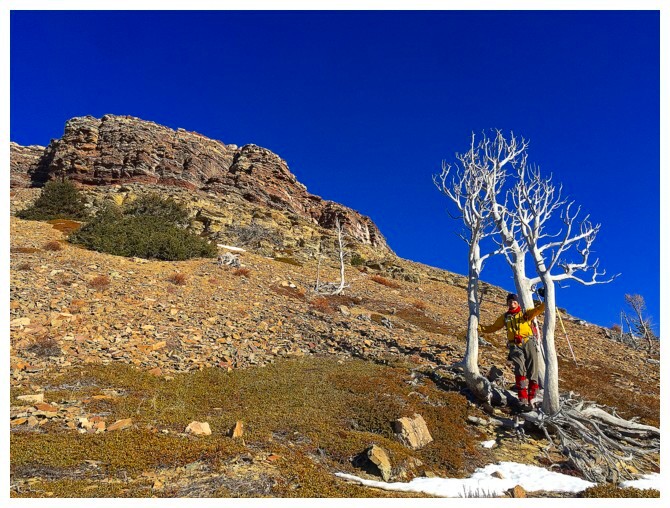
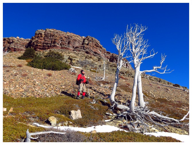
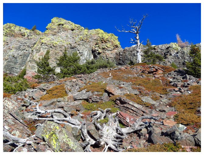
A trio of sun bleached trees makes for more awesome scenery on descent
Looking back at the rock band and other cool things
Same as above
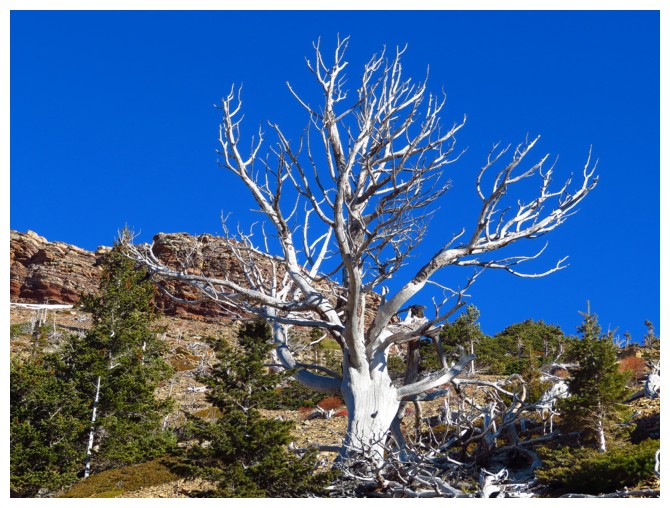
Close-up of that tree
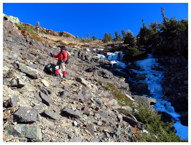
A little ice in the descent drainage is a nice touch!
If red argillite doesn't do for you, there's always the lichen-covered black rock
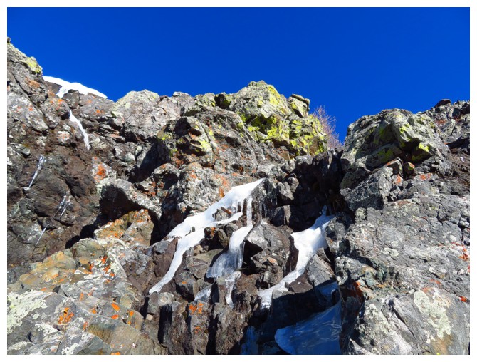
Looking back up the weakness we descended to get past the black rock band
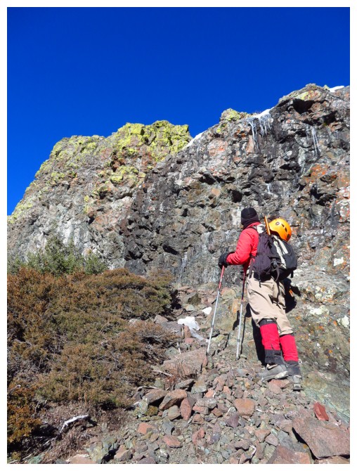
Below the band but still fascinated by it!
Oh boy!
We should have just walked down the mountain backwards (or ascended this route!)
Ice climbing?
A last look
Home time!
The End