Wolverine Peak
July 9, 2023
 Mountain height: 2703 m
Elevation gain: 1150
m
Round-trip time: 10:30
Scrambling with
Mark.
Inspired by the
appearance of this peak in David Jones’ awesome book Rockies West and a great trip report from Vern
in 2022, we set out to attempt the somewhat obscure peak. 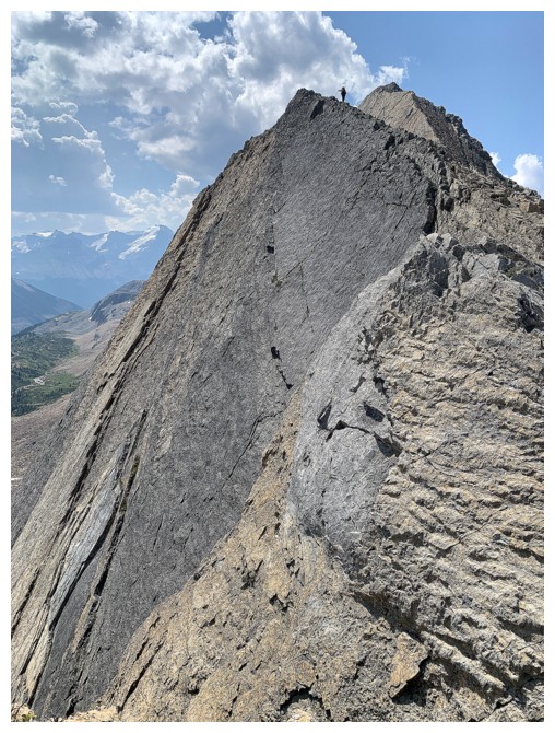 Though relatively
small in stature, it’s location near the south end of the Waputik Icefield guaranteed
great scenery and terrific views.
Though relatively
small in stature, it’s location near the south end of the Waputik Icefield guaranteed
great scenery and terrific views.
We started
early, hoping to beat the predicted breakdown in the weather around 2 pm. The
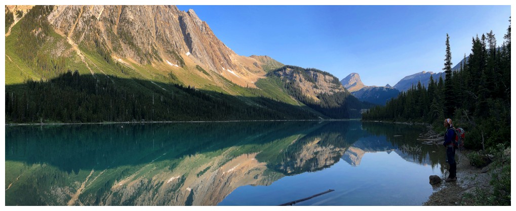
first stop, Sherbrooke Lake, did not disappoint in the least, providing a
perfect reflection of Mount Ogden in its dark, turquoise-tinged waters. Neither did
the superb environs of Niles Meadow. As his first trip to the area, Mark was very
impressed with both. So was I!
We then turned
west and made our way up to the col between Wolverine and an outlier to the
north. 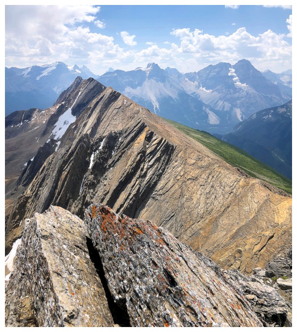 Throughout, views of Mount Niles and an unofficial peak west of Niles
(sometimes called Profile Peak) were stunning. Unfortunately, Mark was severely
under the weather from the get-go. I suggested we call it a day, but the
amazing scenery was too much for both of us to turn away from.
Throughout, views of Mount Niles and an unofficial peak west of Niles
(sometimes called Profile Peak) were stunning. Unfortunately, Mark was severely
under the weather from the get-go. I suggested we call it a day, but the
amazing scenery was too much for both of us to turn away from.
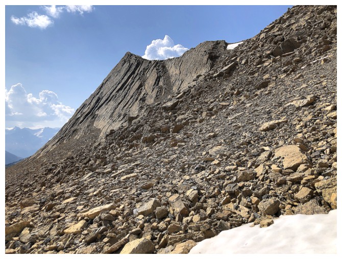
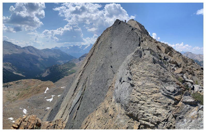
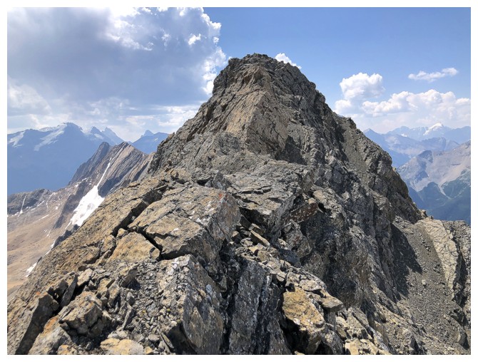
From
the col to
the summit there are two potential scramble routes: the ridge or the
scree
ramps on the right side of the ridge. We chose a combination of the two
– ridge
to start and ramps to end. As Vern’s points out the ridge route has
terrific
exposure on the left (I would certainly avoid it if a typical Waterton
wind
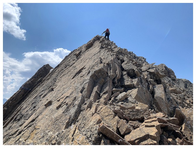
made it this far north!) but is fairly safe on the right. Just before
the
summit the exposure increased on both sides and we decided to rope up.
Thinking
that there’s no way a mountain in this area would be completely
snow-free by
the second week of July we had brought some climbing equipment with us.
However, recalling a shocking lack of snow on a relatively recent trip
up the Dolomite Shoulder, we should have known better!
Turns out the
rope was unnecessary. Avoiding a few exposed steps along the ridge I dropped
down a few metres to another scree ramp and, lo and behold, this led directly
to the top – awesome!
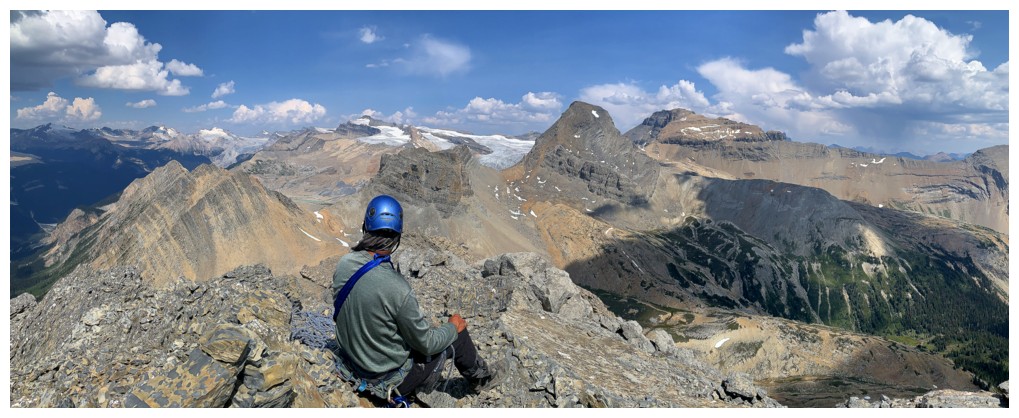
The only
downside of the summit view was the premature arrival of that breakdown in the
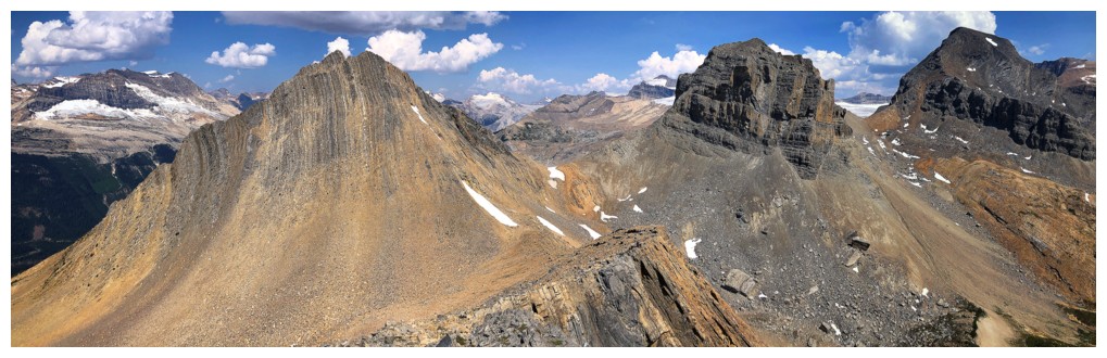
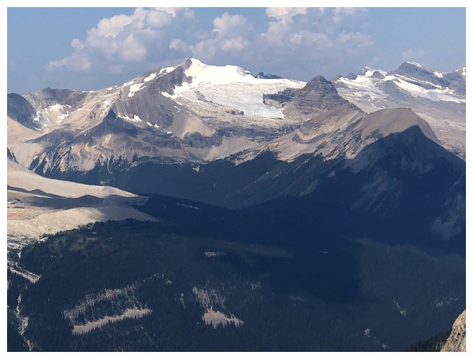
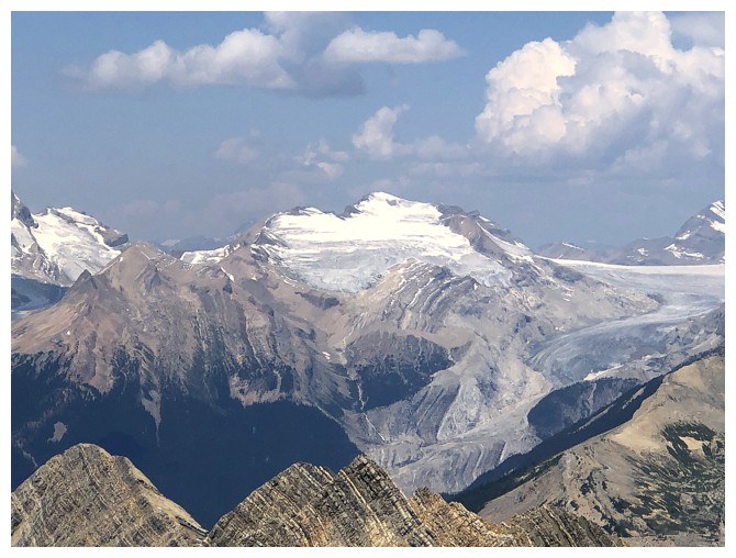
weather. Clouds were building - some of them threatening. Still, views of
Balfour, Niles, Daly, The Presidents, Wapta, and many others were outstanding.
On descent we
followed a route similar to the one Dan and I used when coming down from Niles,
in 2021. It’s a wonderful alternative to the Niles Meadow route and boasts a
heavy dose of fantastic water scenery. Round 2 of
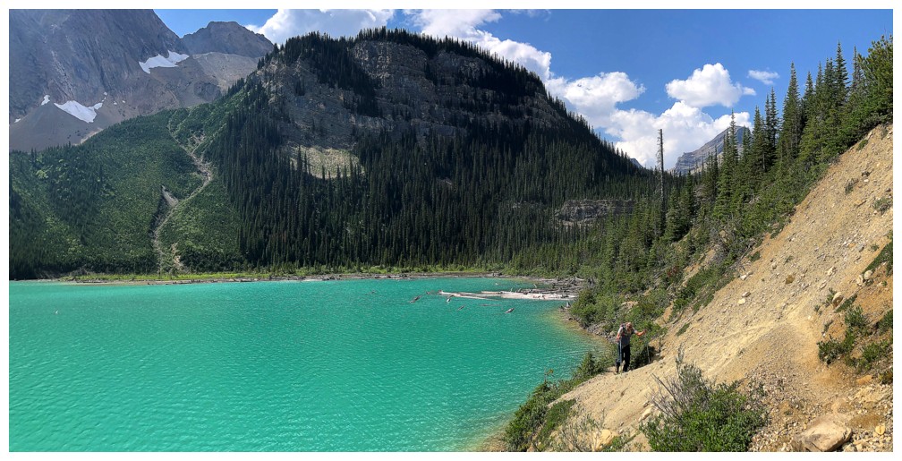
Sherbrooke Lake was as amazing as Round 1. The lake looks completely different in
the late afternoon, its darker and placid, reflecting morning look replaced by
vivid and vibrant turquoise hues.
What a great
trip! Hats off to Mark for completing a long route in very ill health and
shout-out to Mr. Jones and Mr. Dewit for bringing Wolverine Peak to our
attention.
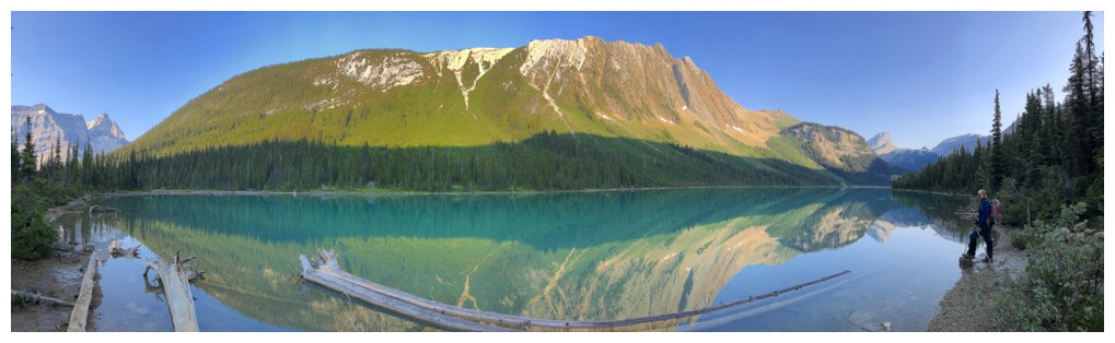
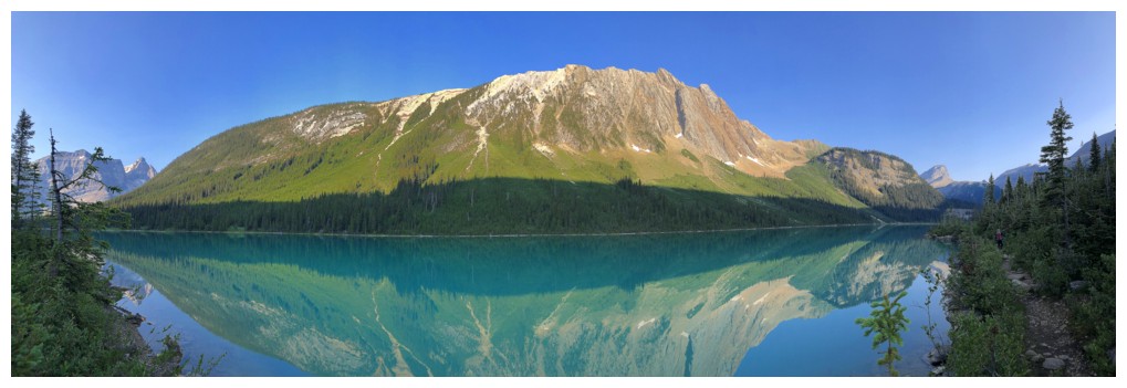
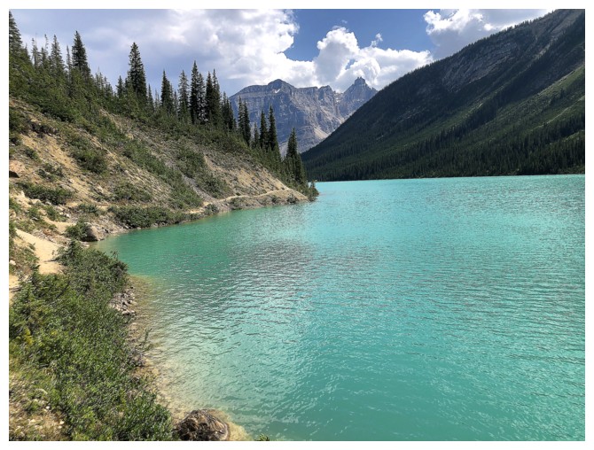
Sherbrooke Lake - morning views are typically stunning due to the
fantastic reflection of Mount Ogden and the unique hues of the water
Same as above
Cathedral Crags
Mount Niles looks incredible throughout most of the trip
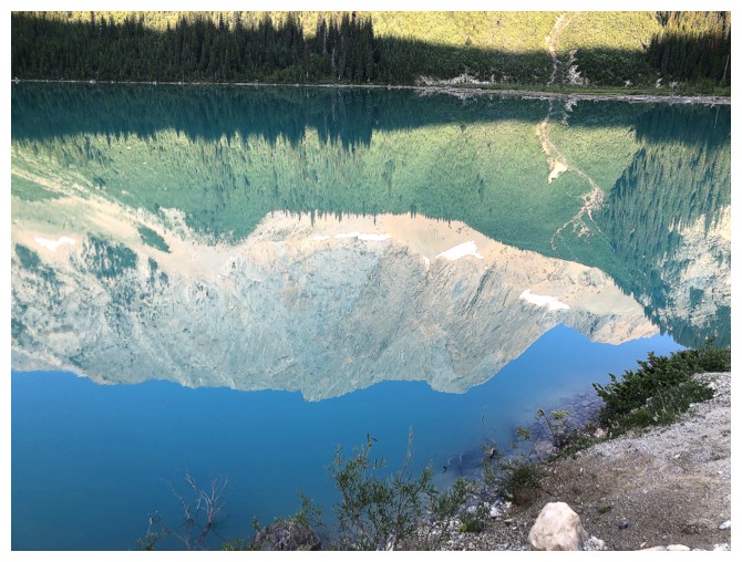
Reflection only of Mount Ogden's summit
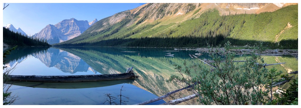
View from the north end of the lake
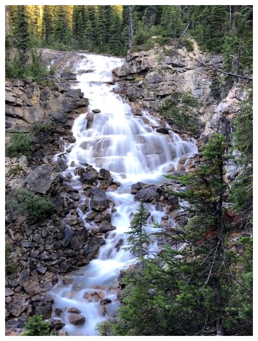
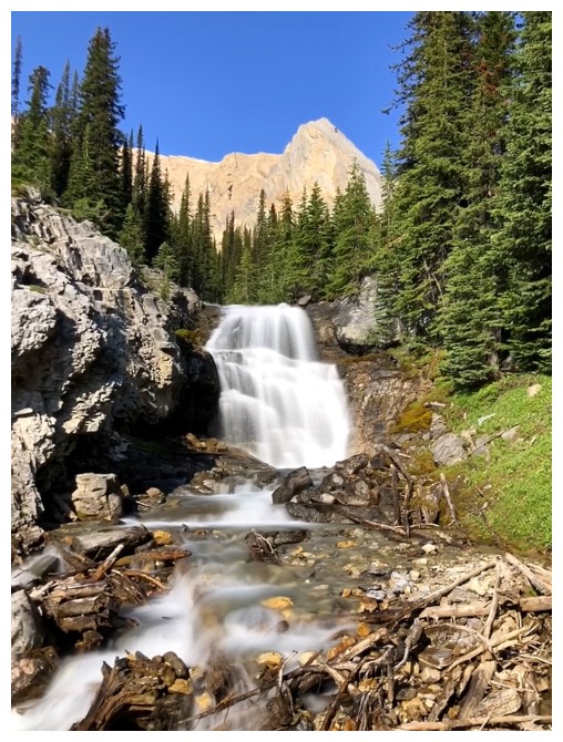
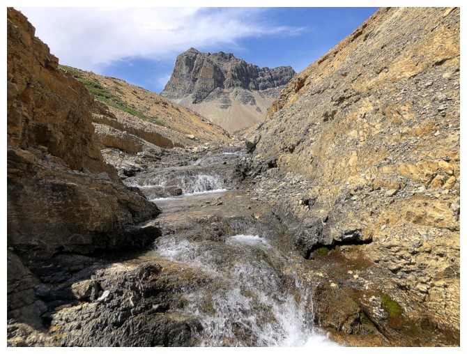
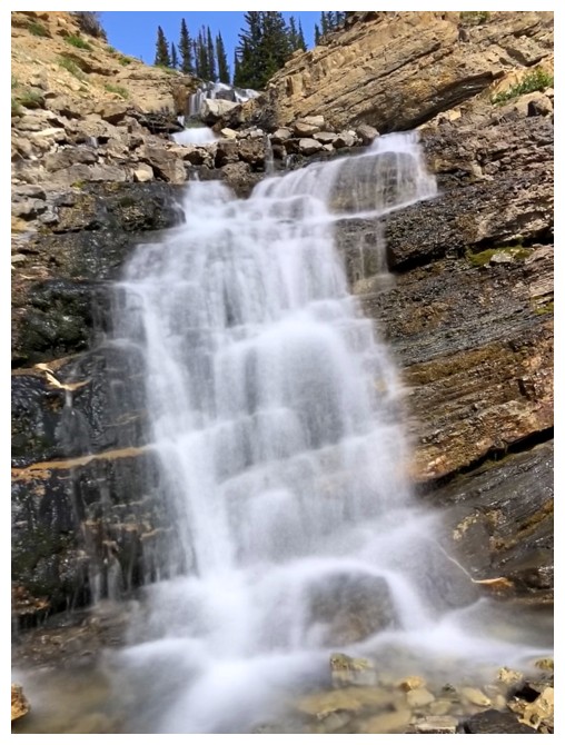
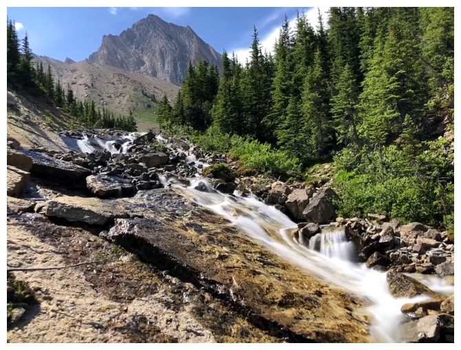
The first of many cascades seen throughout the day
Profile Peak makes its first appearance
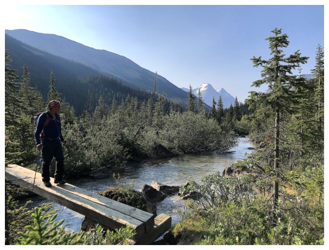
Crossing Sherbrooke Creek for the first time
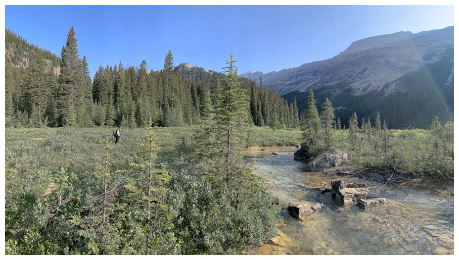
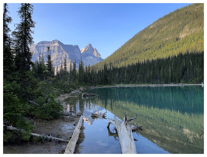
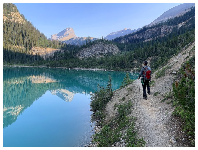
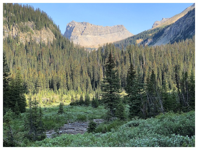
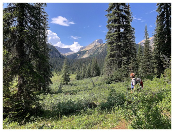
The pleasant valley above Sherbrooke Lake is great but pales in comparison to Niles Meadow
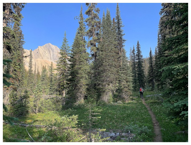
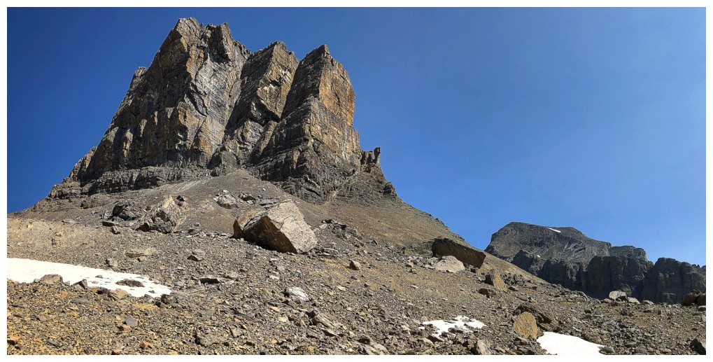
First glimpse of the objective
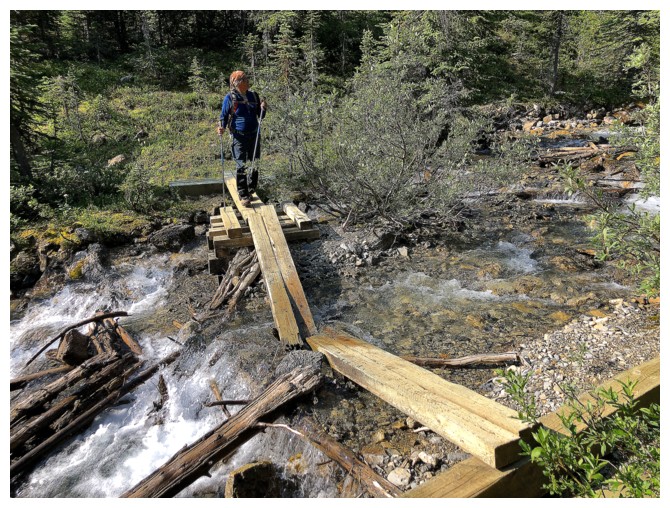
Another crossing, but the bridge has seen better days!
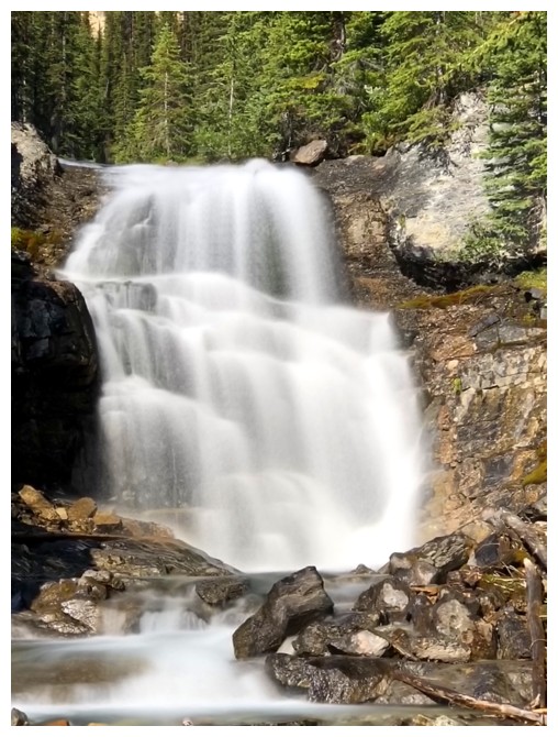
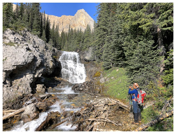
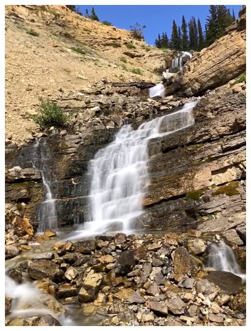
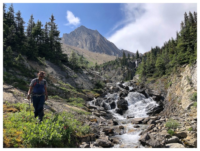
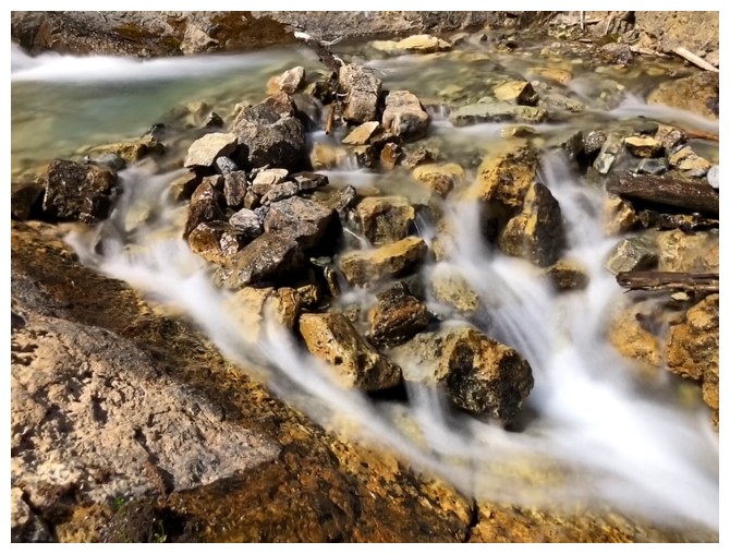
Fantastic distraction en route to Niles Meadow
And another
Entering Niles Meadow
Crossing Niles Meadow
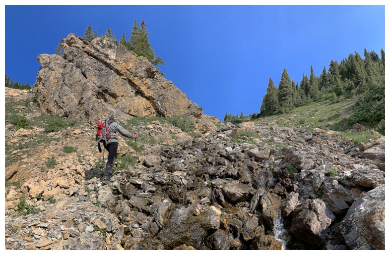
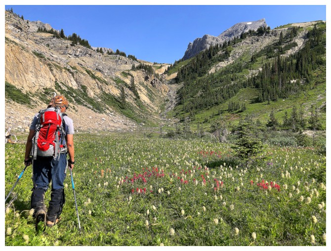
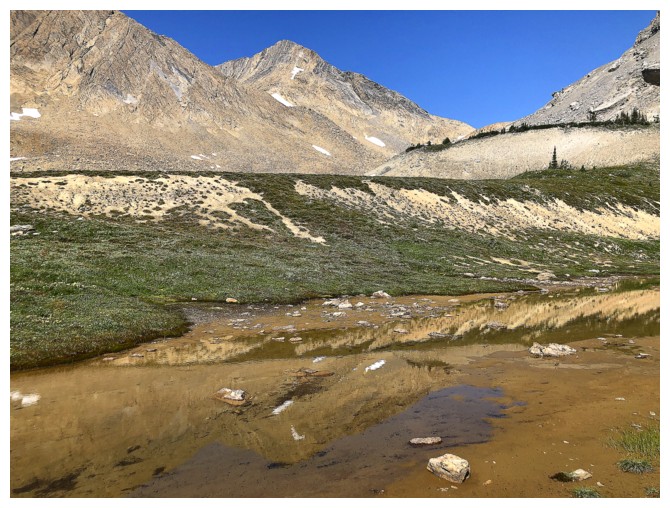
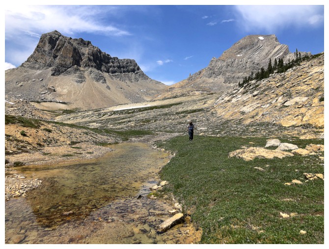
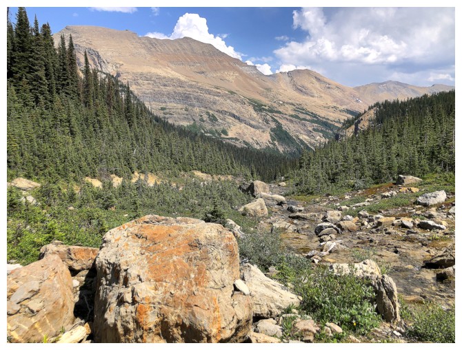
Heading up the drainage
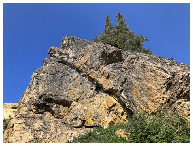
Sweet rock
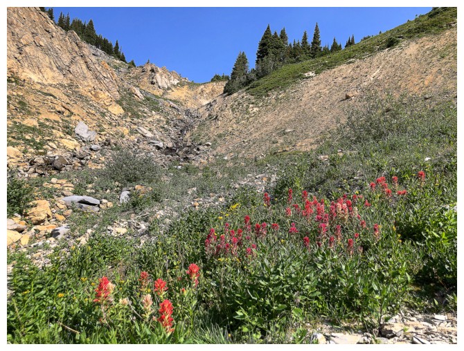
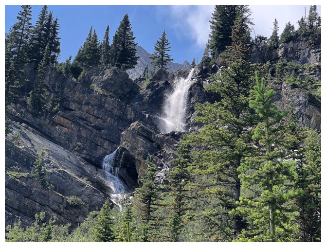
Wildflowers season is upon us
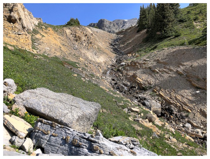
So is awesome drainage season!
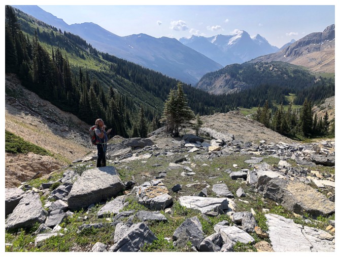
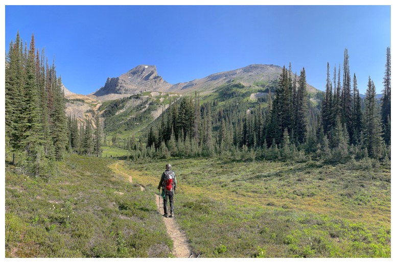
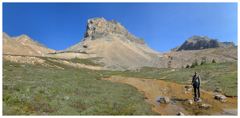
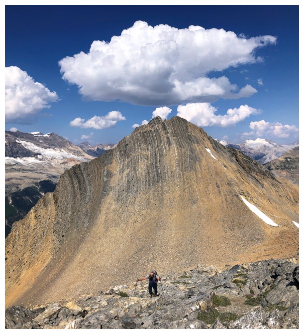
What is Mark looking at?
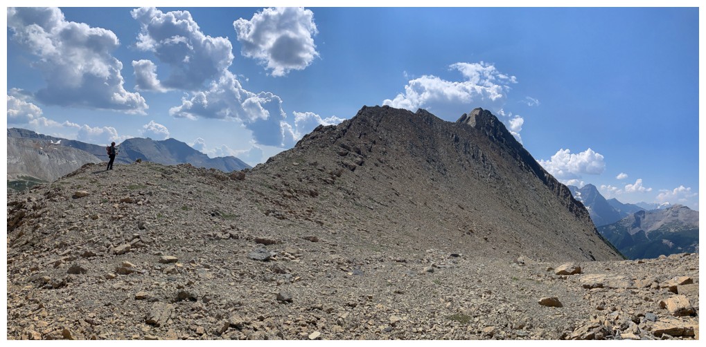
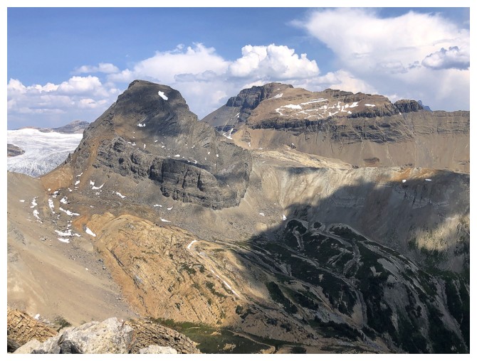
This. Wolverine Peak at the left and Profile at the right
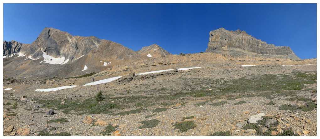
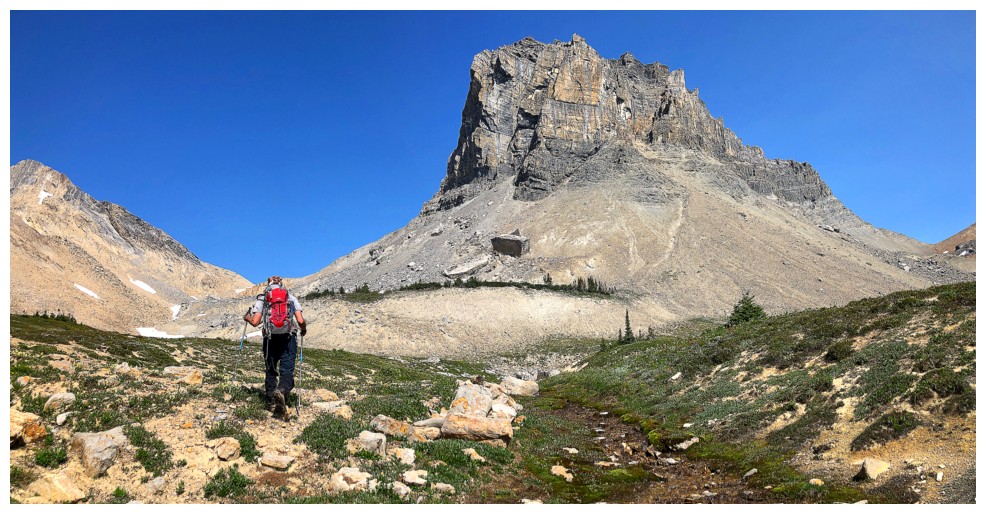
Heading towards the col between Wolverine (left) and the outlier to the north (right)
The outlier
The outlier, Profile, and Niles
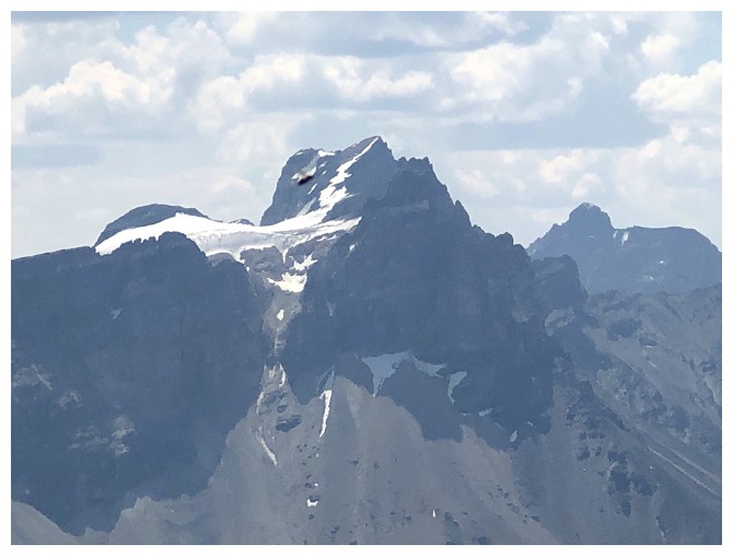
Profile - too bad there wasn't an easy route up that one. David Jones
describes a low 5th class route up the east ridge (right side).
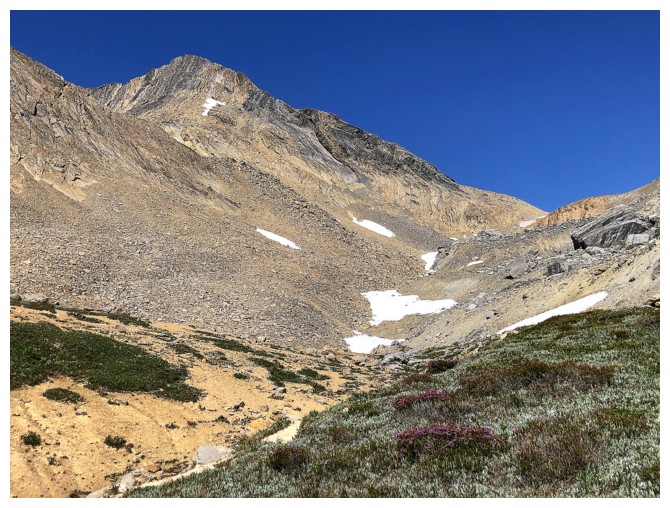
Last bit of colourful vegetation for a while
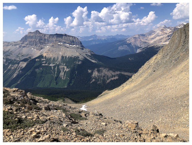
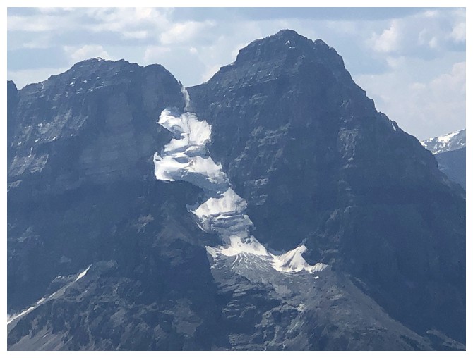
The west side of Profile is very dramatic
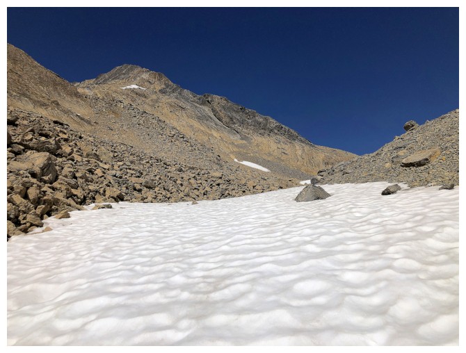
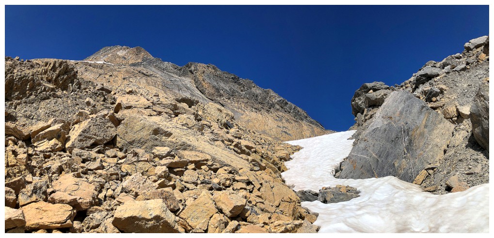
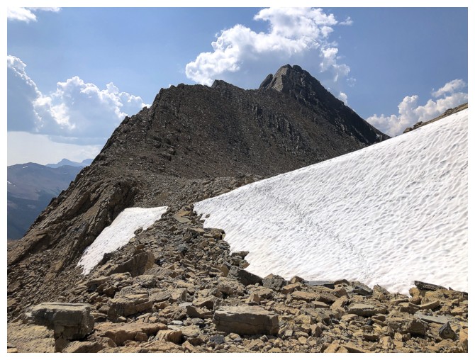
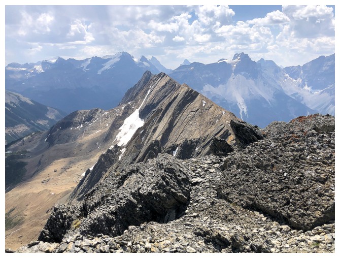
Snow! That's more like it!
We took advantage of the remaining snow, though it was depressing how little of it there was for this location in early July
Same as above
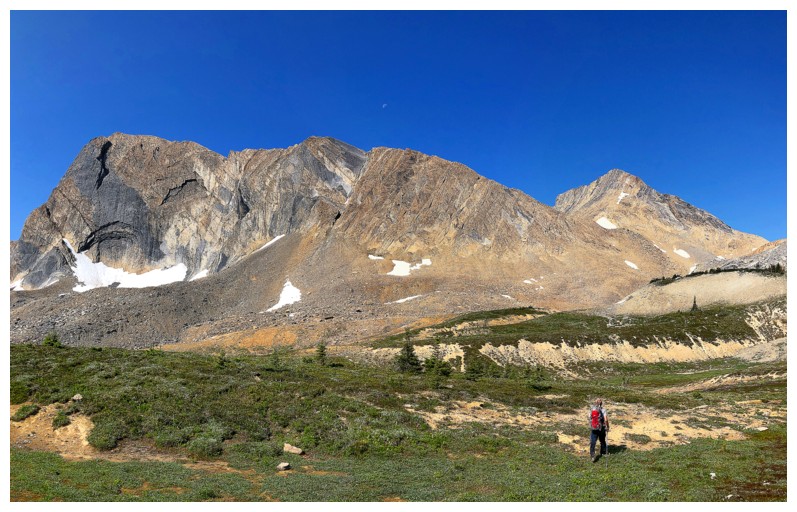
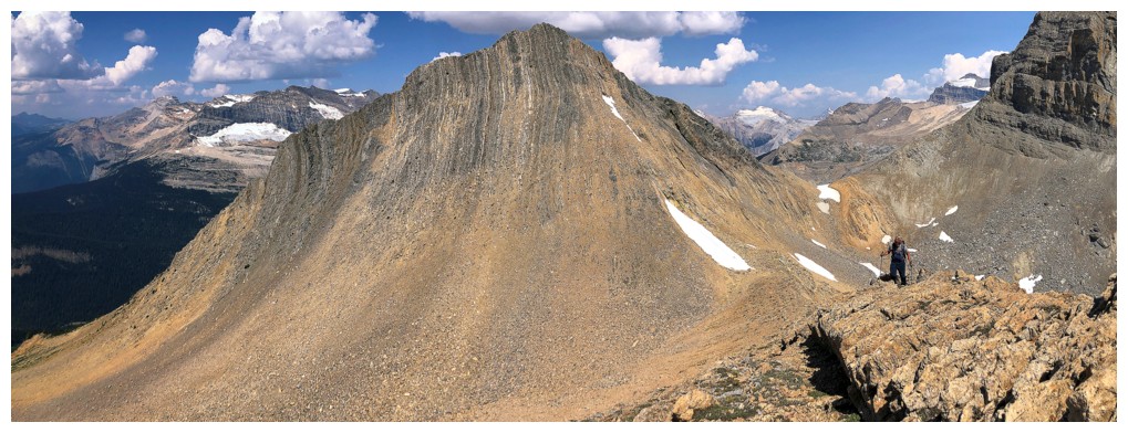
Glimpse over to some of Wolverine's north ridge
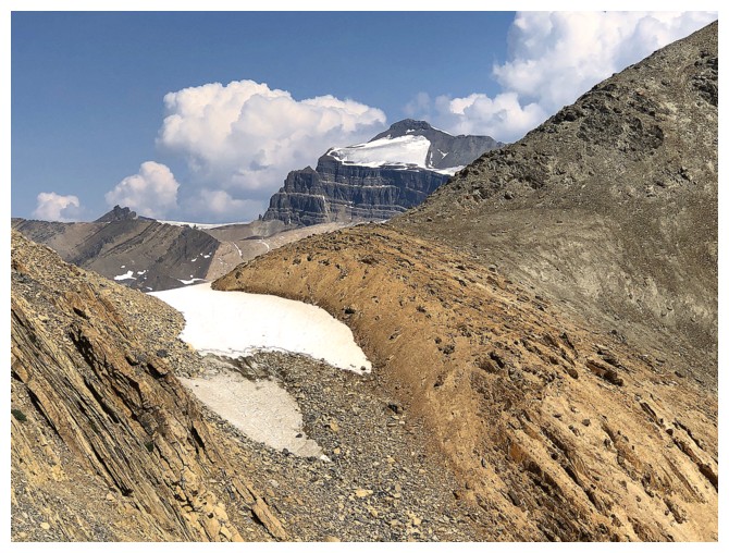
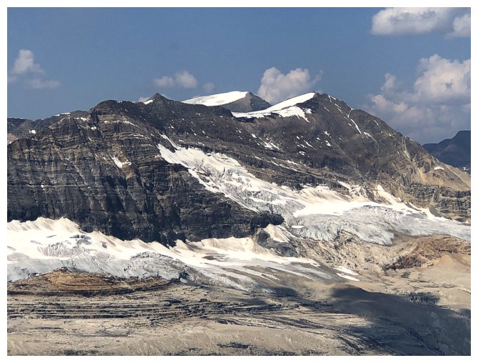
Mount Balfour peaks over the outlier/Profile col
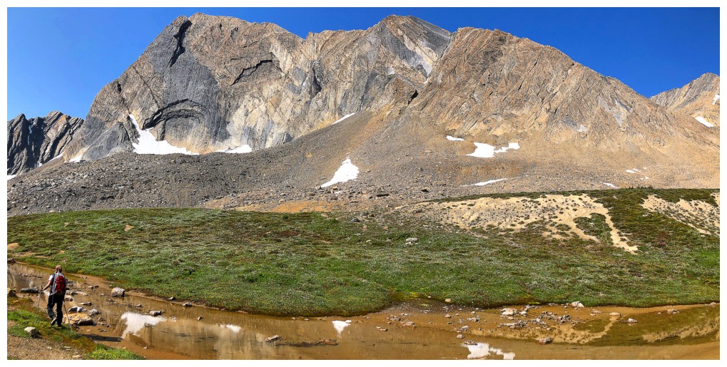
Wolverine's north ridge
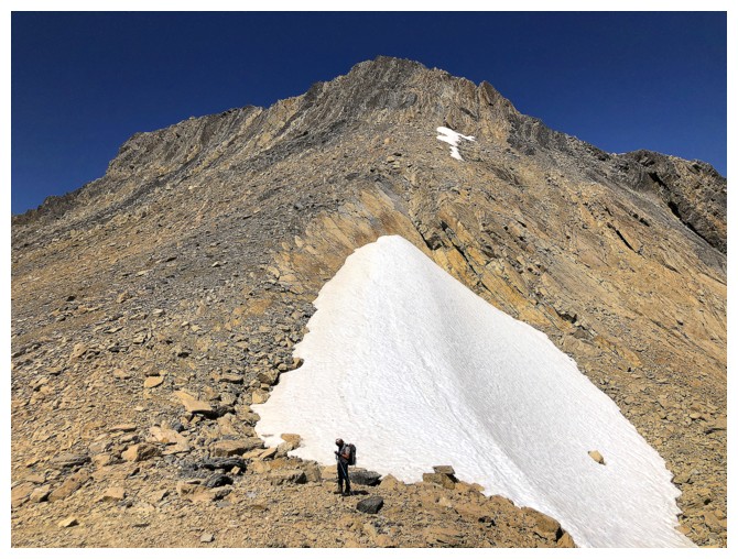
Mark arrives at the Wolverine/outlier col
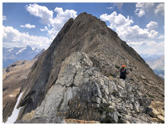
Starting up the terrific north ridge
Mount Wapta
Mark on the ridge
The ridge quickly gets interesting
Awesome drop down the left side
Close-up of Wapta
4 Peaks in one: Michael, Angle, The Vice President, and The President
Mount Carnarvon at the left and Michael Peak, just right of centre in the foreground
The outlier, Profile, and Niles make a nice trio
Cool cloud forming above the outlier
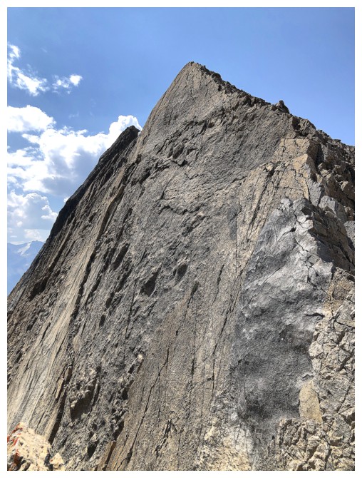
Another awesome and almost vertical slab
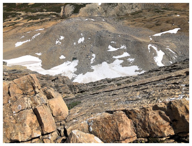
Looking down the slab
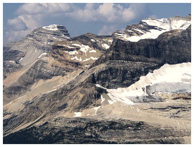
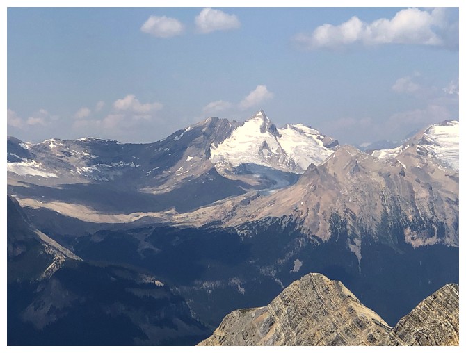
Glaciated Mount McArthur, with Isolated Peak to its right
Closer look at The VP, The P, and the dying Emerald Glacier
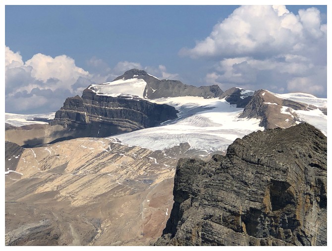
Balfour is looking grand
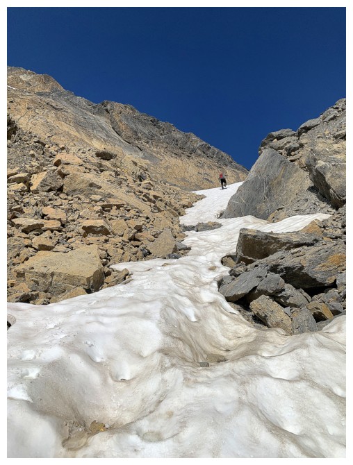
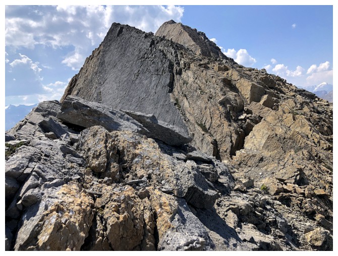
Summit is a short distance away. We took the scree ramp on the right side.
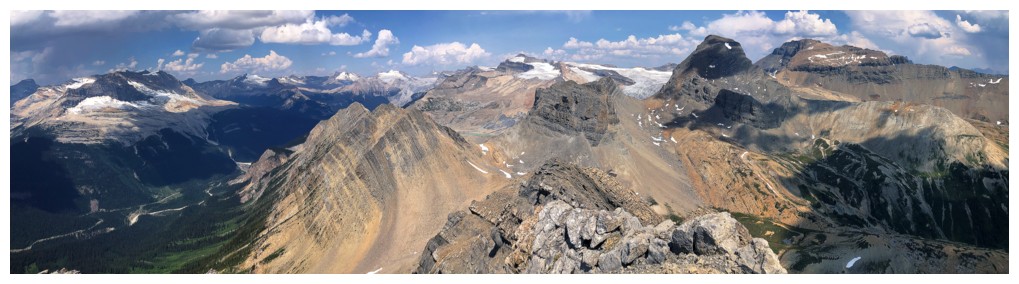
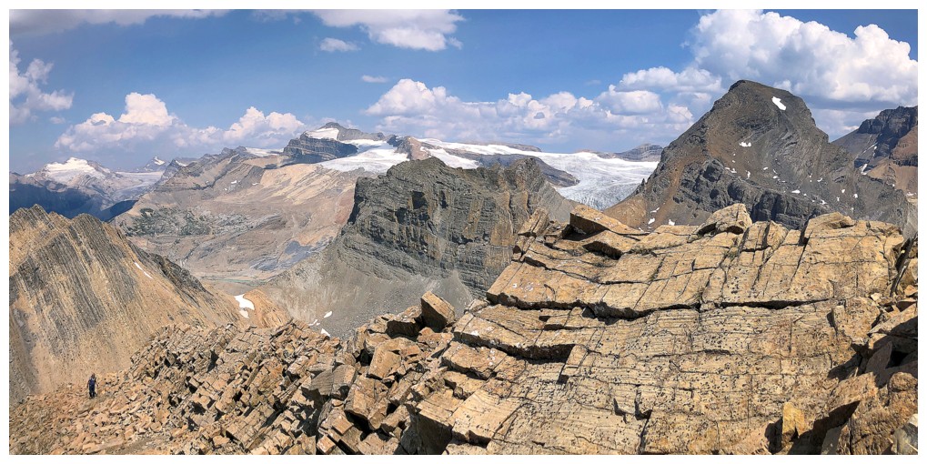
Summit view
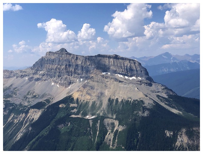
Cathedral Mountain - 2 very memorable trips on that one: 1, 2
Mount Stephen - someday
Mount Ogden is connected to Wolverine. Unfortunately, the traverse over there is way beyond scrambling.
Niles and Daly
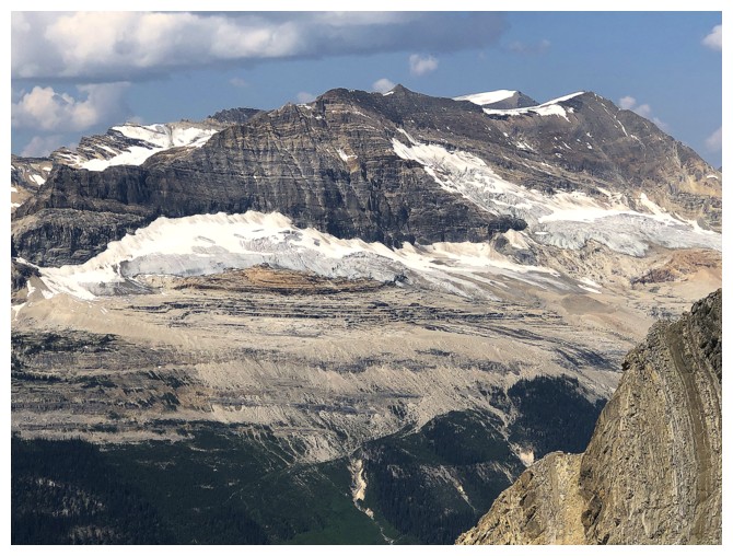
Mont des Poilus - awesome but exhausting day
Mount Collie
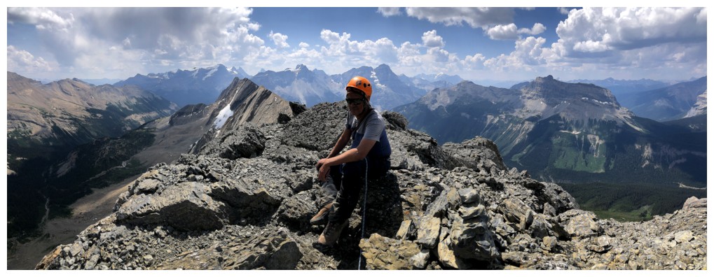
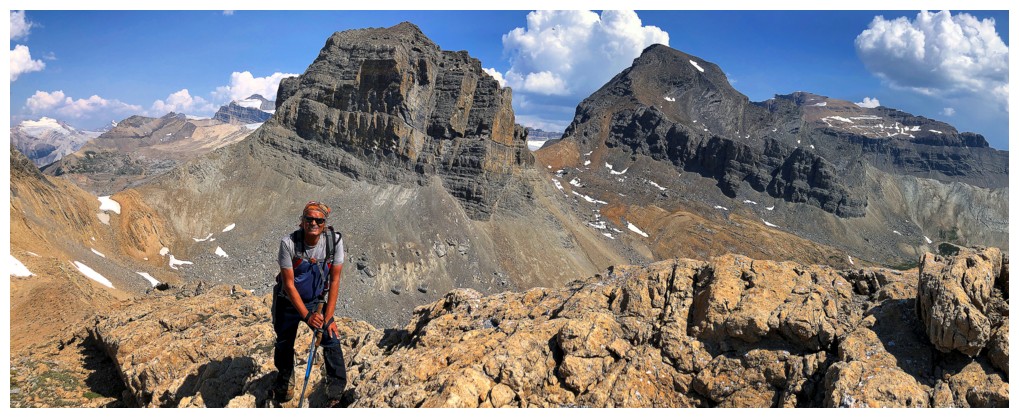
Mark at the summit
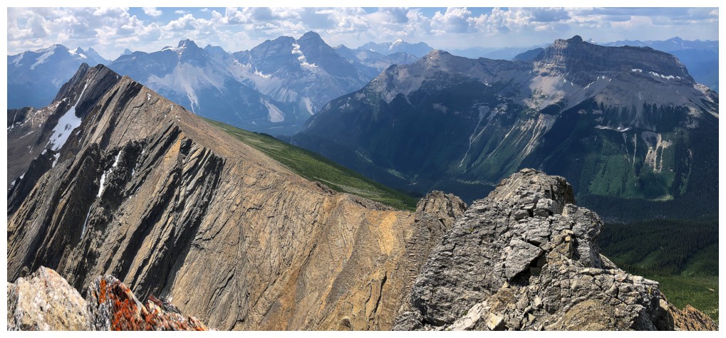
Great view to the south and southwest
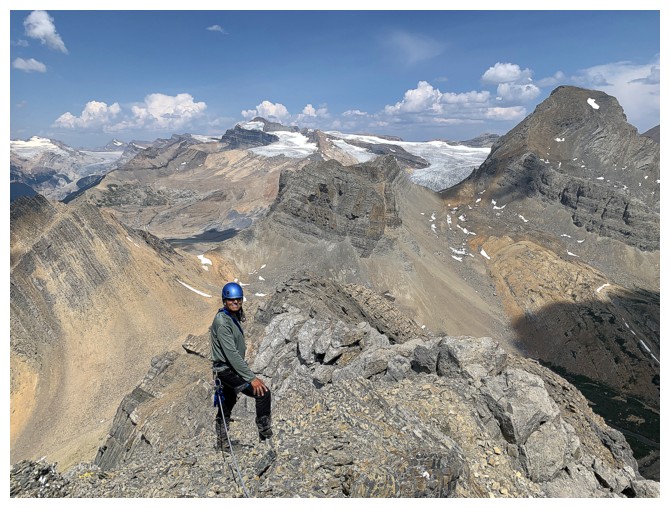
Preparing to descend
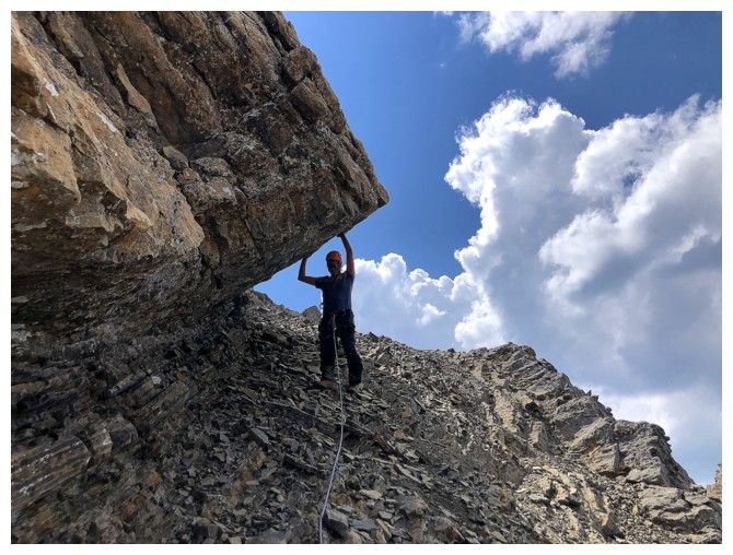
Mark is not trying to hold the rock up - using your hands just makes walking down easier!
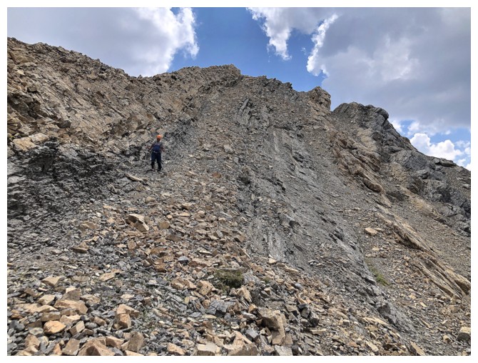
Descending one of the scree ramps
Returning to the ridge
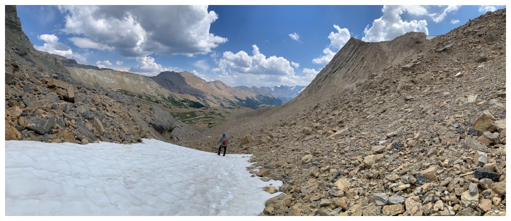
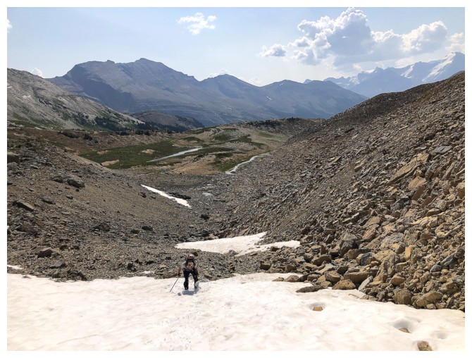
Back on the snow
Leaving Profile and Niles behind
Following a secondary stream
The stream and Profile
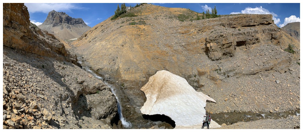
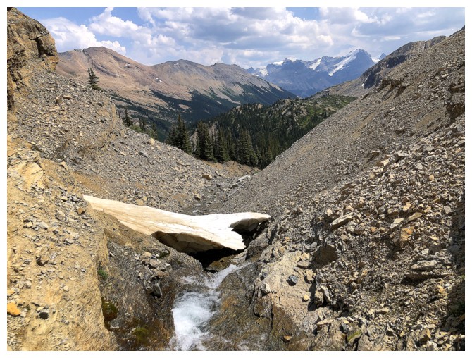
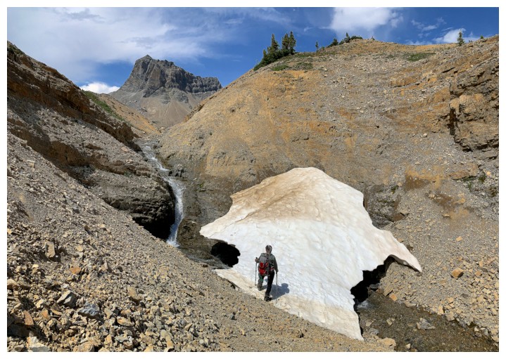
Checking out a cool snow bridge that was paper-thin in some sections
My view
Mark's view
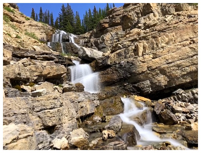
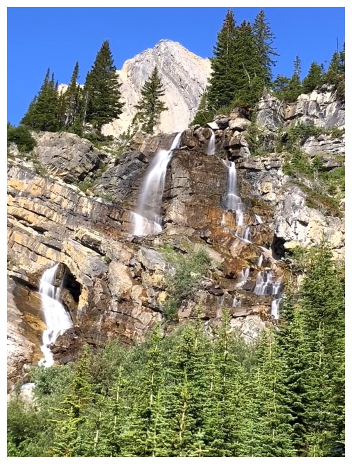
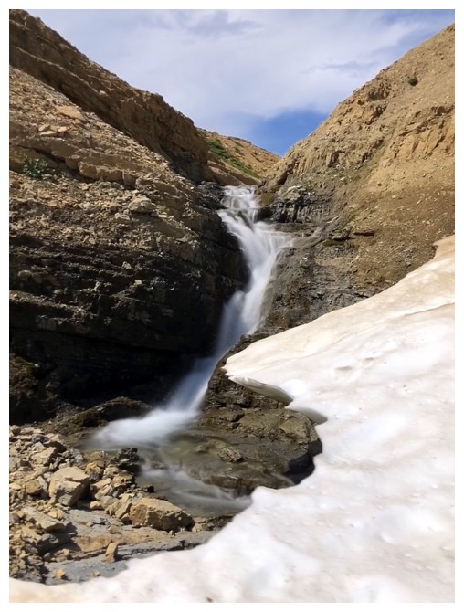
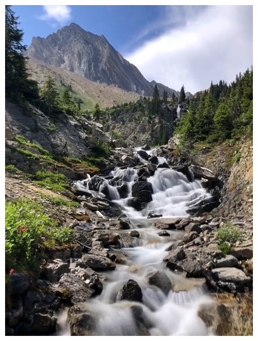
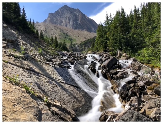
Another satisfying round of cascade and waterfall scenery
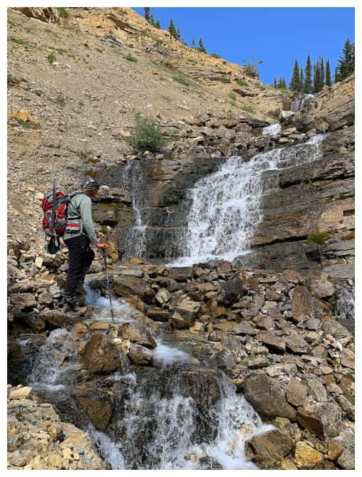
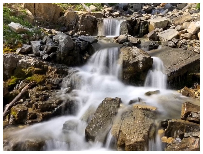
Continuing down the stream
Back to the meadow above Sherbrooke Lake
Mark glances back at Niles
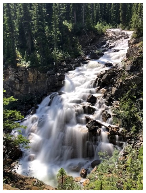
The first cascade again
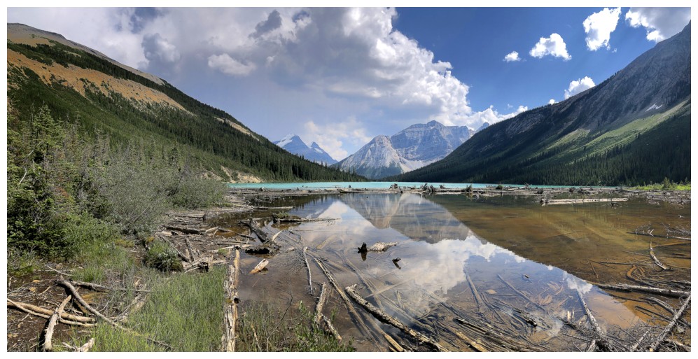
Sherbrooke
Lake looks so different 9 hours later. Interesting to see reflections
in the north part of the lake but none past the log jam.
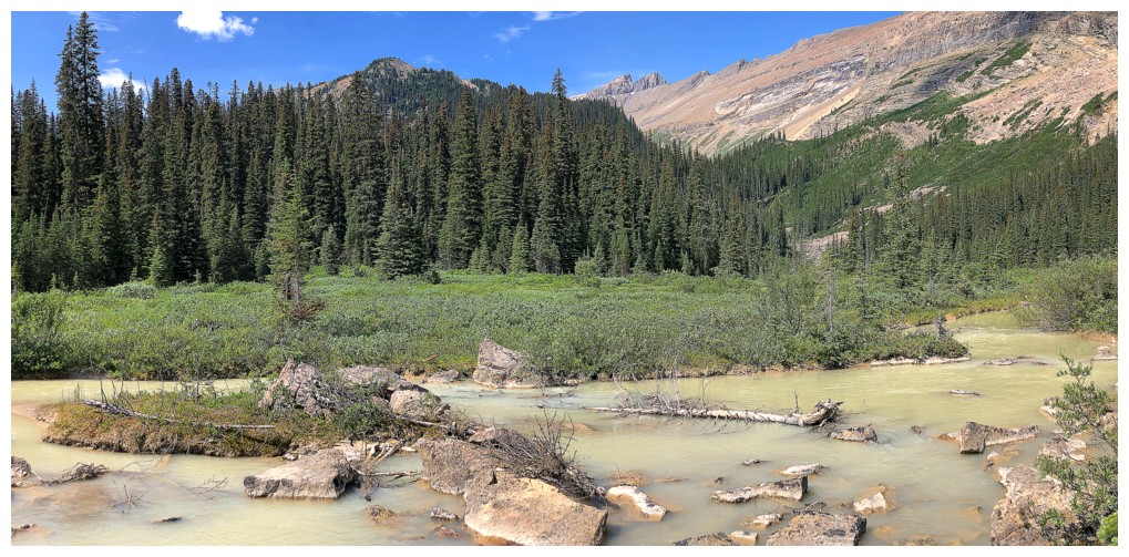
There must be a ton of silt in the water for it to take on this colour
Same as above
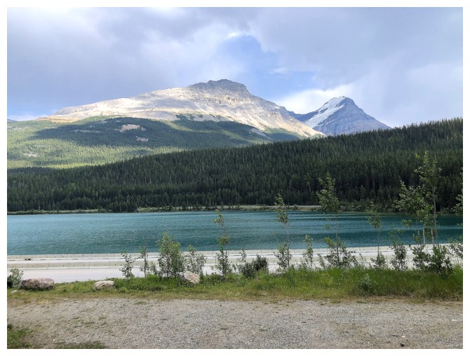
Back at the parking lot and a nice view of Wapta Lake, Narao Peak, and Mount Victoria
The End
LOG