Bellevue Hill X
July 4, 2023
Mountain height: 2116 m
Elevation gain: 900 m
Round-trip time: 4 hours
Solo scramble.
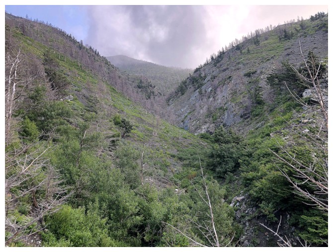
After Bellevue
IX, ascending one of two drainages on the south side of the mountain, X, going up the other, was
inevitable. The ascent started well but quickly degraded,
as foliage in the drainage made travel challenging. There were several sections
of amazing rock on both sides of the drainage, but very few cascades – one of
the primary features of IX.
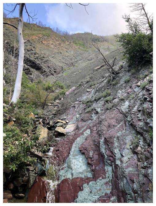
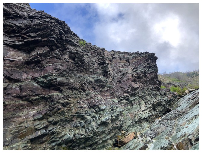
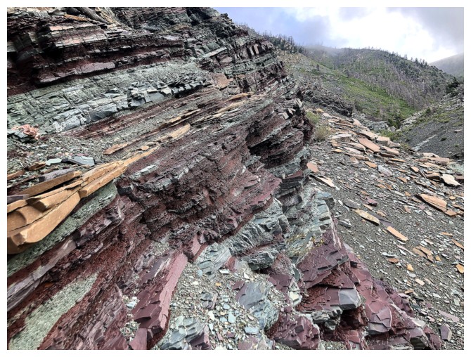
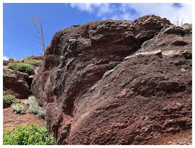
Higher up, a
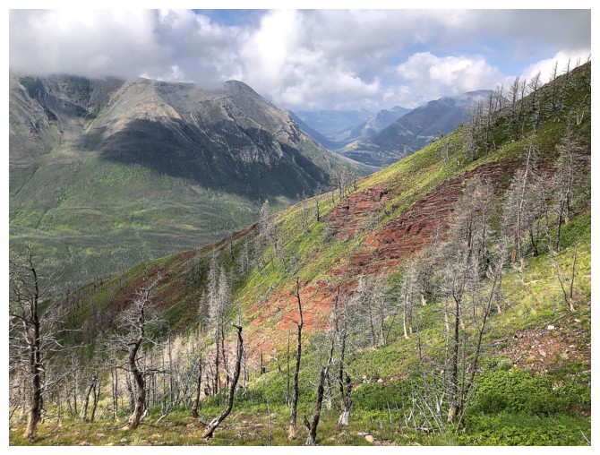
huge band of red argillite made up for the shortcomings of the lower half. The
weather was not great throughout but that’s what I was expecting. My summit stay was
less than a minute. Checking out a descent route via the next ridge over to the
west was the last order of business for this trip and I was keen to get there.
The route worked
very well, offering easy travel and impressive scenery. As well, it emptied out
on the road only a 100 or so metres from my vehicle.
It’s a “one and
done” for this route, but I’m very happy to have completed it.
View of the route from the road
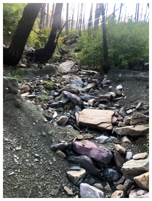
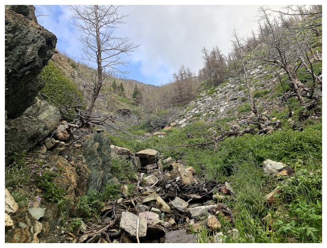
Things looked promising early on
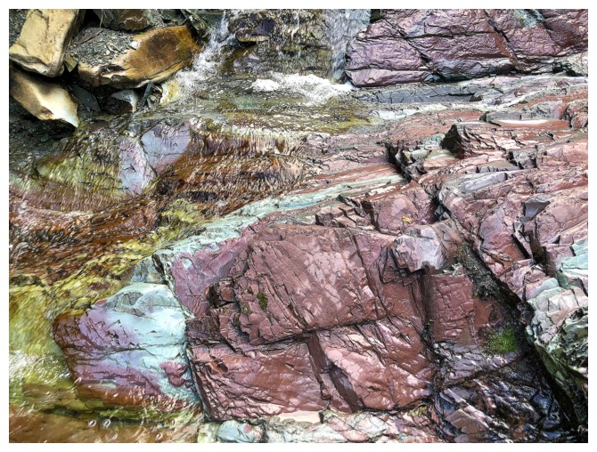
Super cool rock in the drainage
But minimal water
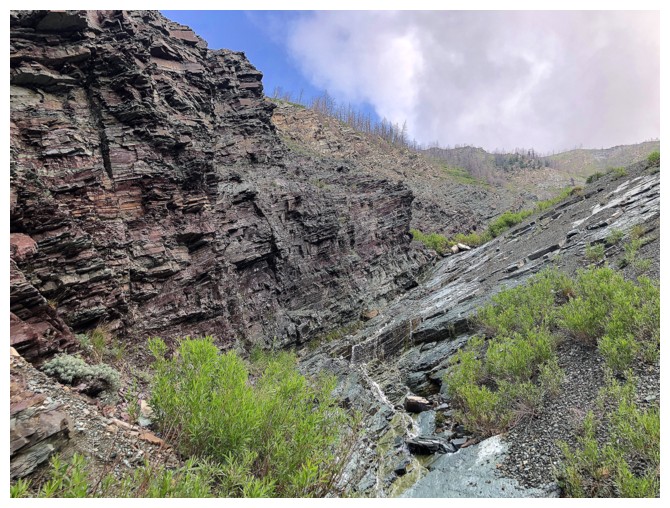
More bushy than I would have liked
There is no shortage of cool rock, but much of it a hidden by the foliage
That one isn't
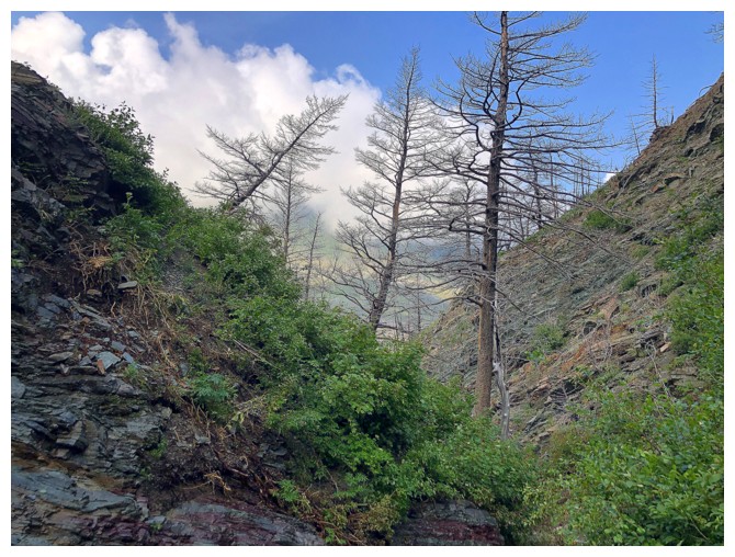
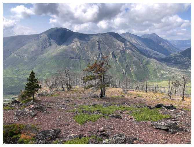
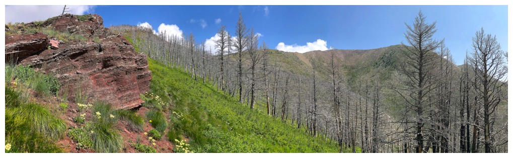
Clouds over Crandell
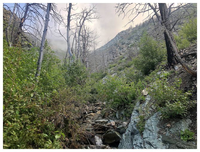
Out of the bush for now
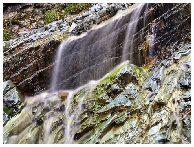
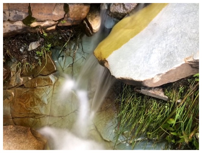
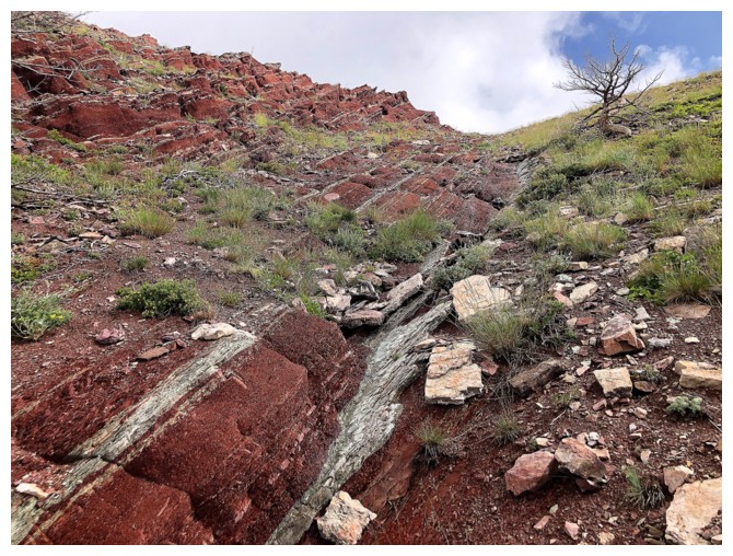
Another rare run-in with water
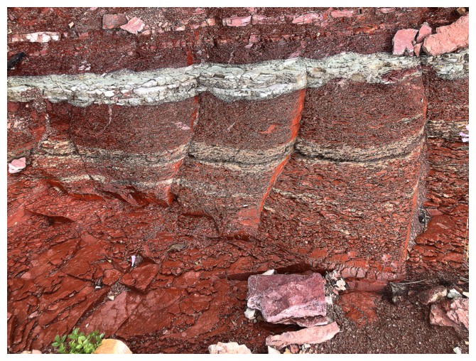
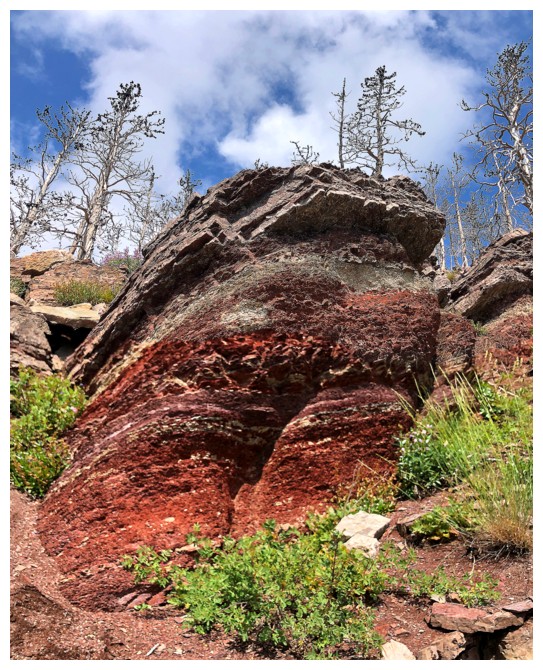
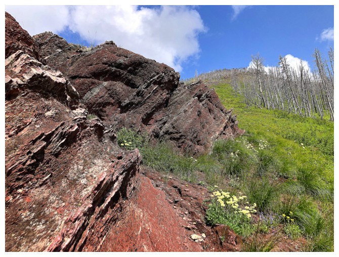
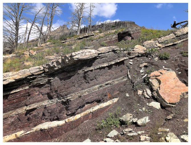
Classic alternating layers of red and green argillite
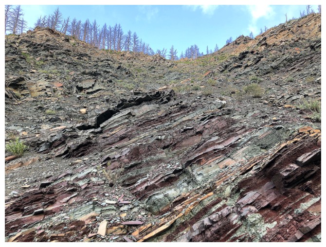
Throw in a few layers of beige dolostone
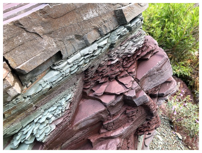
All of the above
And again
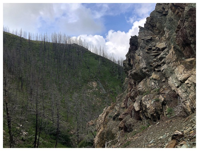
Back to the bushy terrain
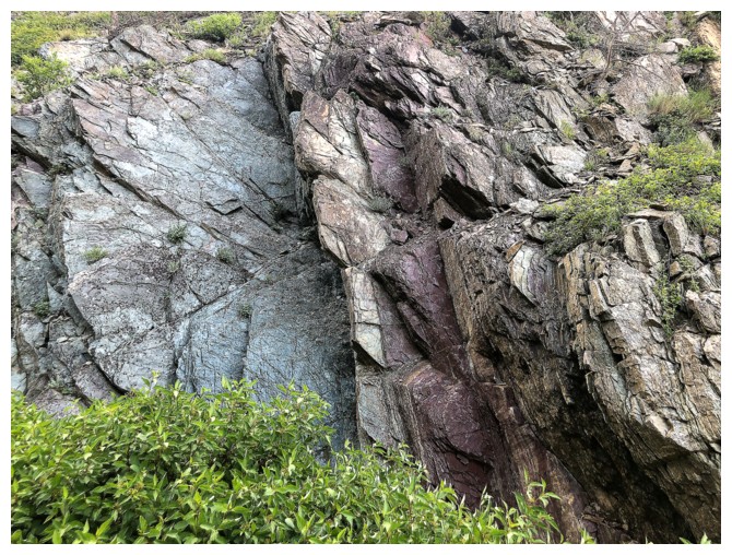
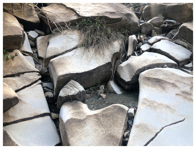
Great rock but it was too much work to get over to the other side of the drainage to take a closer look
The brush is finally thinning out
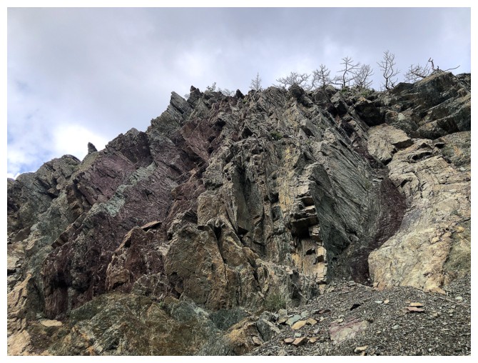
These layers are tilted to almost vertical
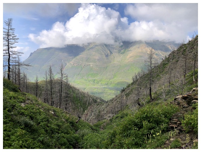
Those clouds really like Crandell!
First sign of a huge band of red argillite
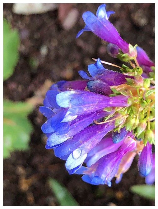
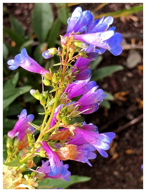
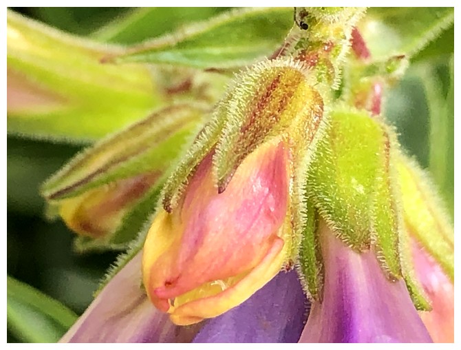
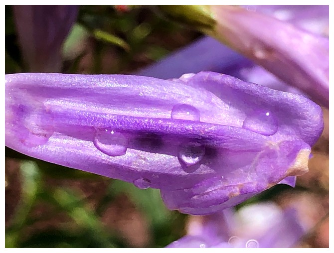
Silky Lupine - 22 years of mountain trips and this is the first time I have actually correctly identified the name of a flower!
Go to the end of this report to find out why.
Same as above
No idea what this is - baby steps I guess!
Same as above
...and again
Past that first red rock sighting
And onto this one
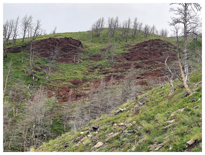
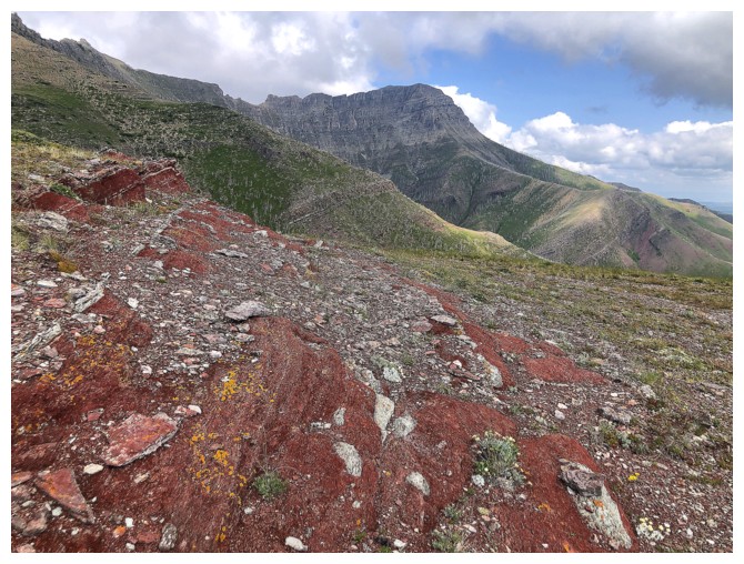
The upper slopes are all glorious red rock
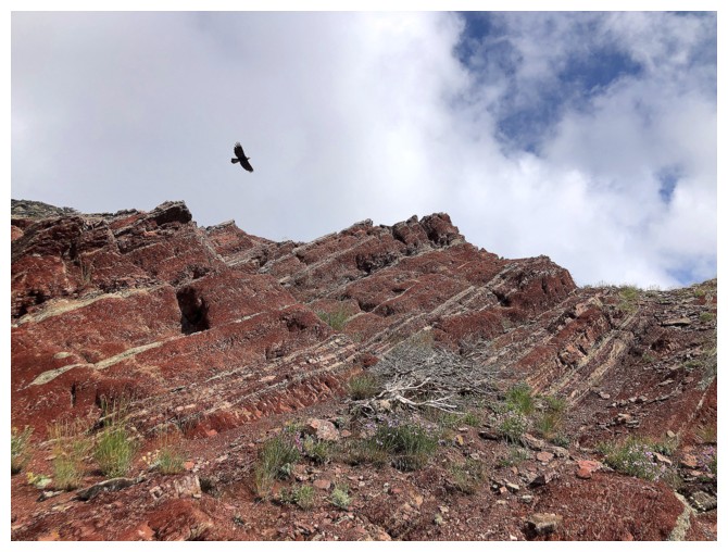
....and a bird
Back to being clueless
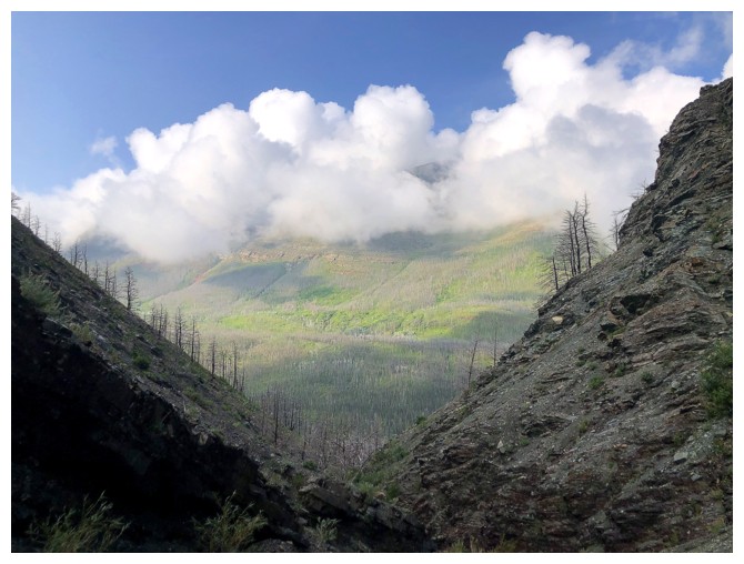
The clouds over Crandell have finally lifted
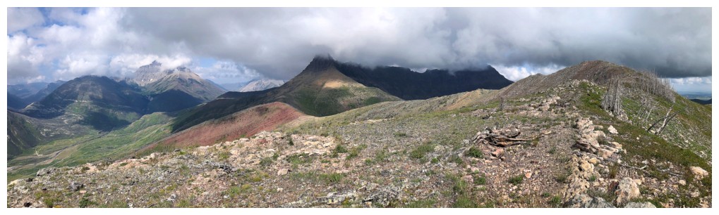
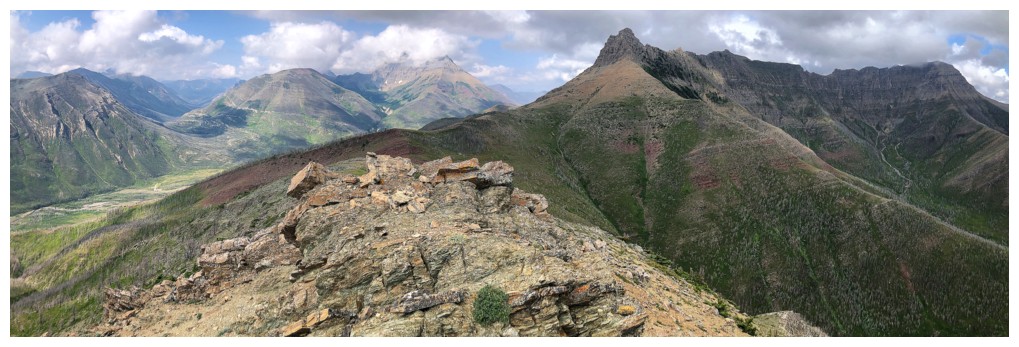
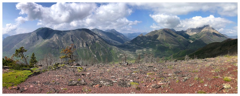
Summit at the right; clouds cover Galwey and Rogan
You always find something interesting on the final approach to the top
Looking down Bellevue's northeast route
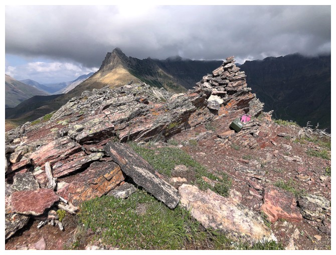
Summit
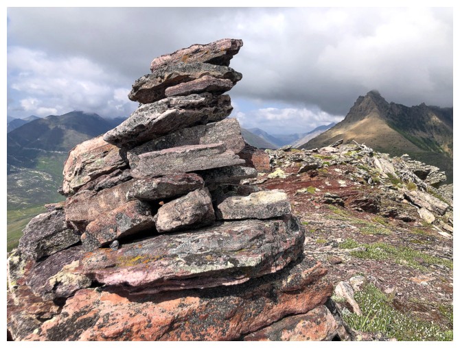
Big cairn
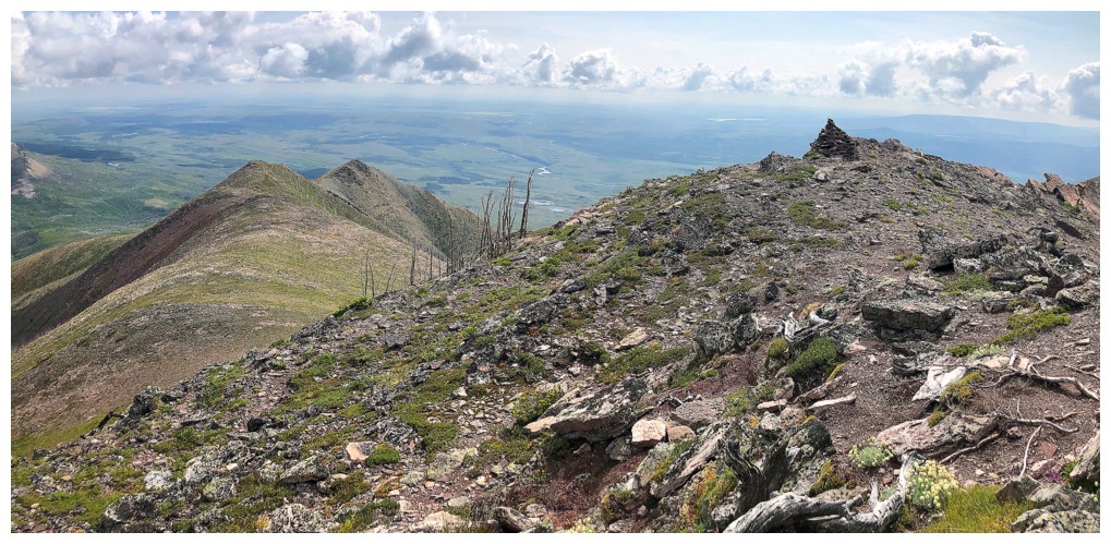
Northeast ridge again, to the left
The clouds are not going to lift off Blakiston
Clouds have left Galwey, but the mountain looks very ominous
Less so now
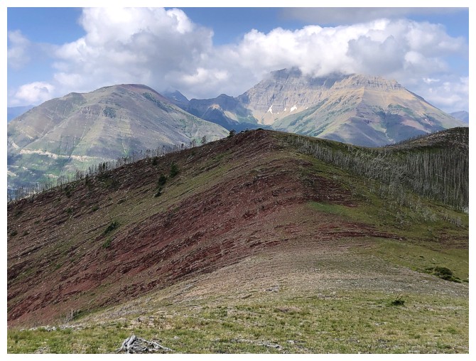
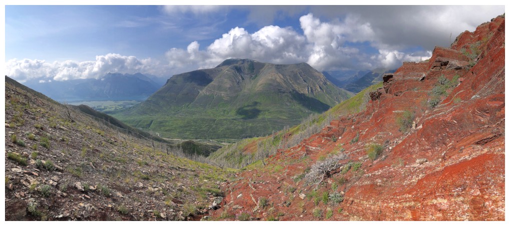
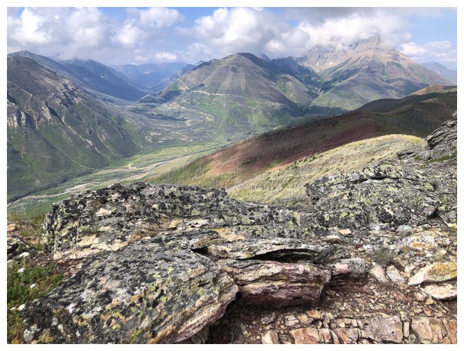
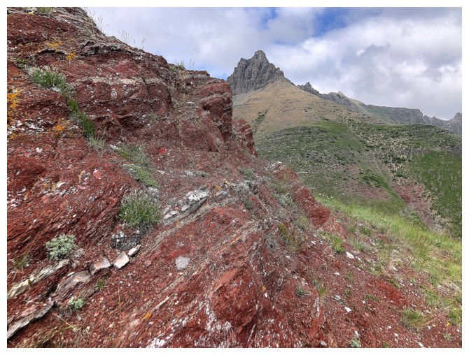
The alternate descent route is also going to feature lots of red rock
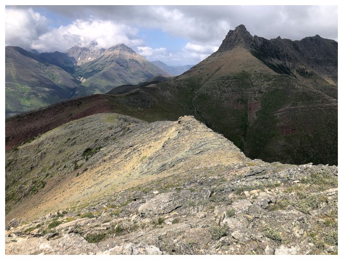
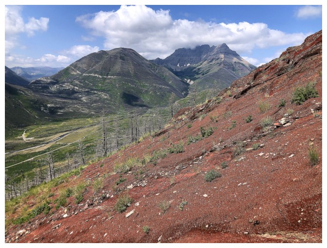
The east side of Galwey. I tried to find a scramble route up here 13 years earlier but failed.
Galwey is definitely one of the most photogenic mountains in Waterton
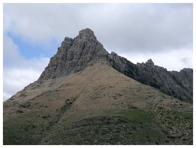
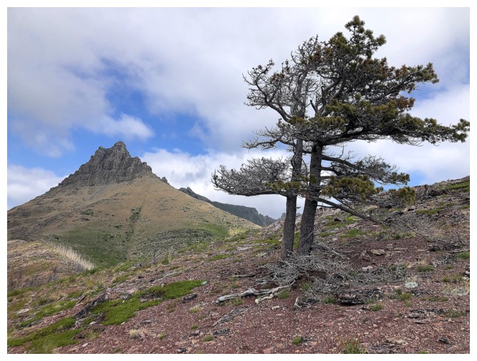
Rogan or Dunwey or The Horn or Dungarvan SE2 - a peak with many names!
Galwey only has one name
Is that Cow Parsnip in front?
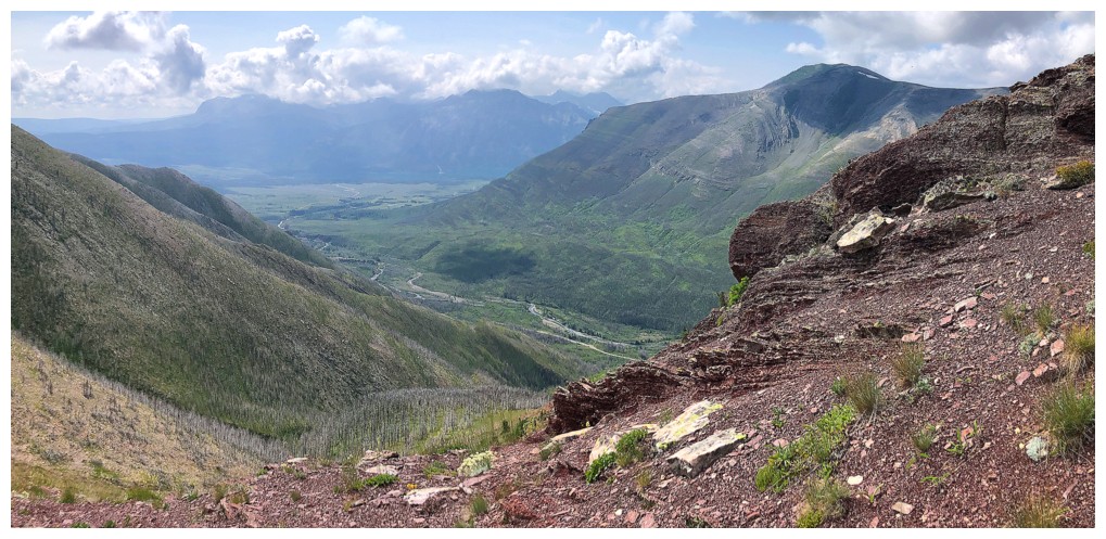
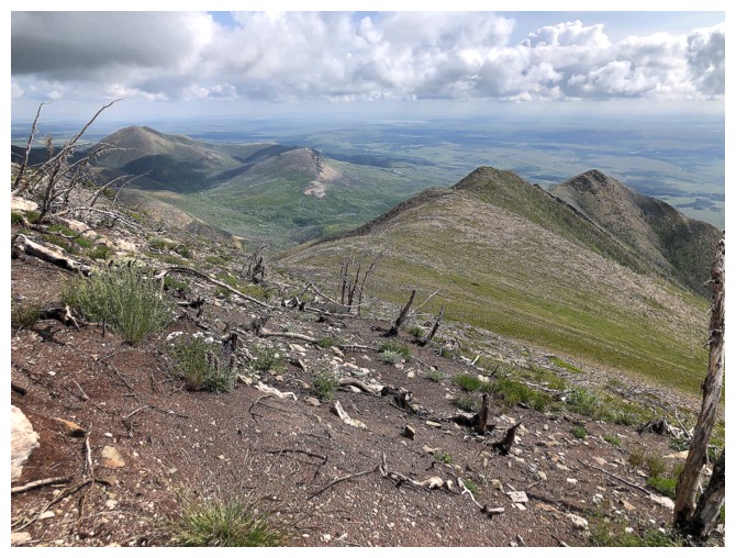
View to the southeast
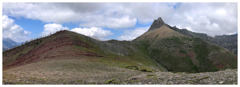
At the start of the descent ridge
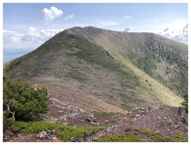
Looking back to the summit
Heading down
Galwey and a tree
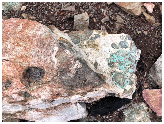
A rare turquoise lichen sighting. It's so out of place, I always think its paint!
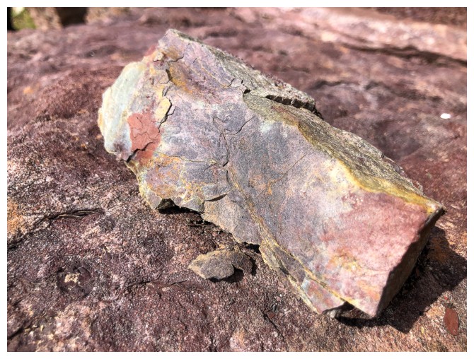
More typical rock
Same as above
Looking back
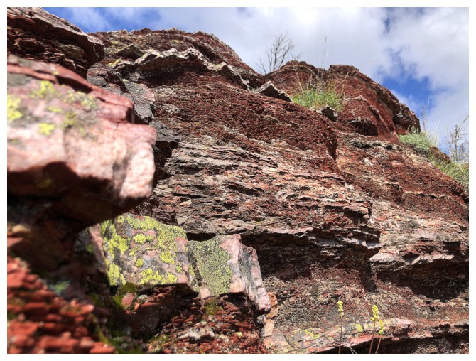
Getting up close with the cool rock on the east side of the ridge
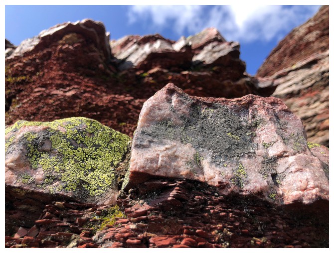
Same as above
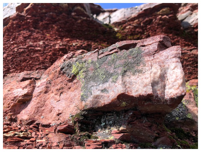
Same as above
Same as above
Love the contrast of the red rock and green grass - it's always Christmas in Waterton!
Same as above
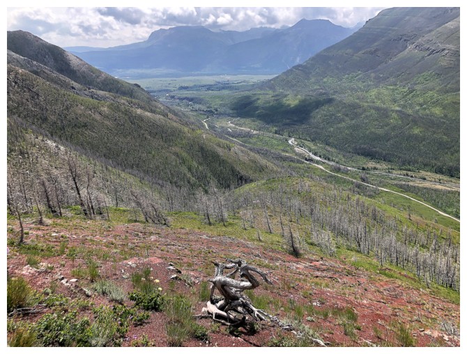
The road and river below
Ruby Ridge is cloud-free but no dice for Blakiston
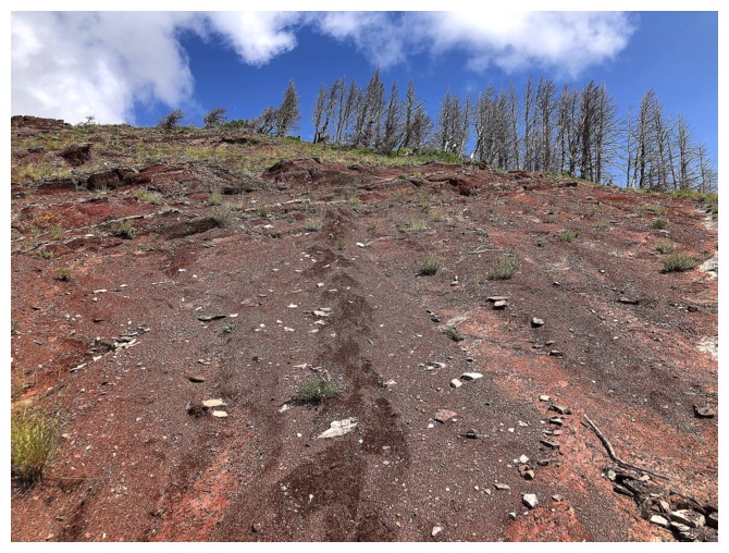
Not hard to spot my lumbering footprints in the fine red scree
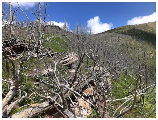
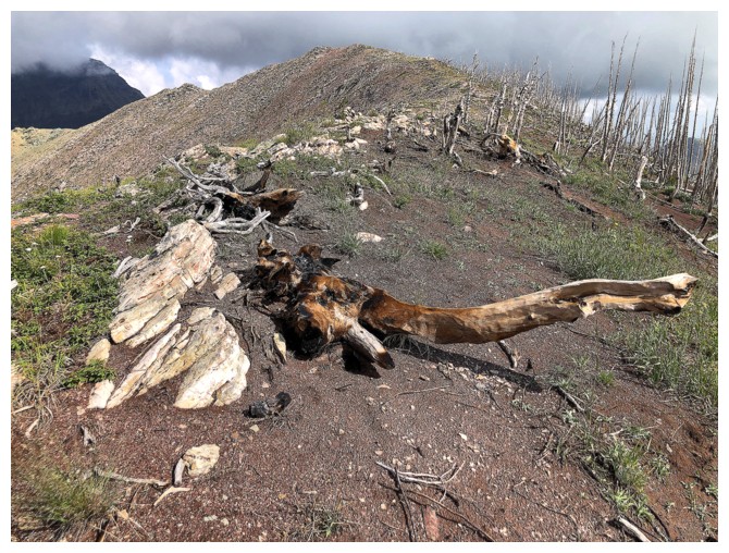
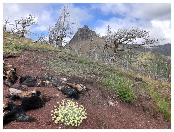
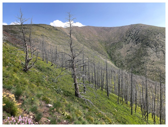
Looks like a nasty section of dead trees but it was easy to dodge them
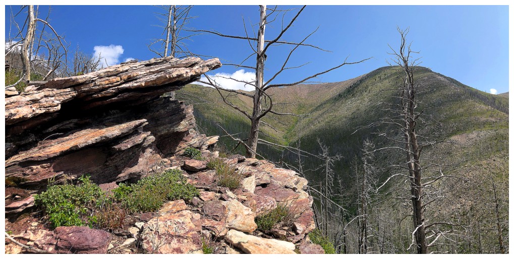
More run-ins with great rock and views
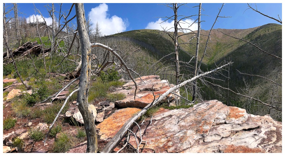
Same as above
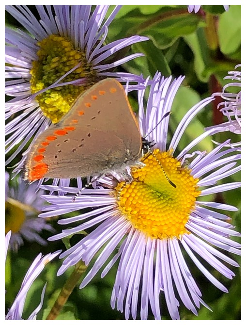
Some sort of buttterfly pollinating some sort of flower - that naming victory was short-lived
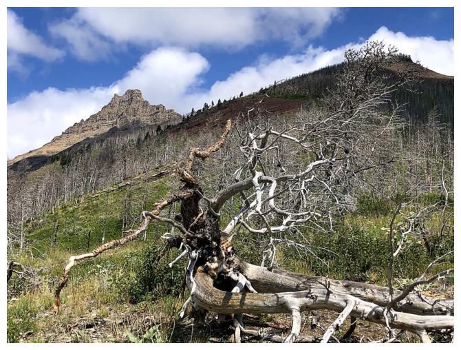
Dead trees and Galwey
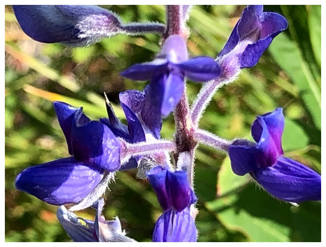
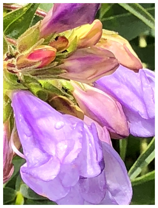
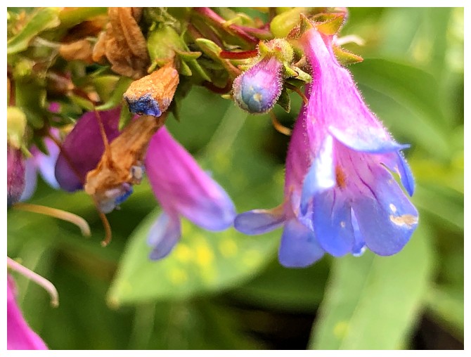
Silky Lupine again
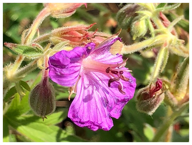
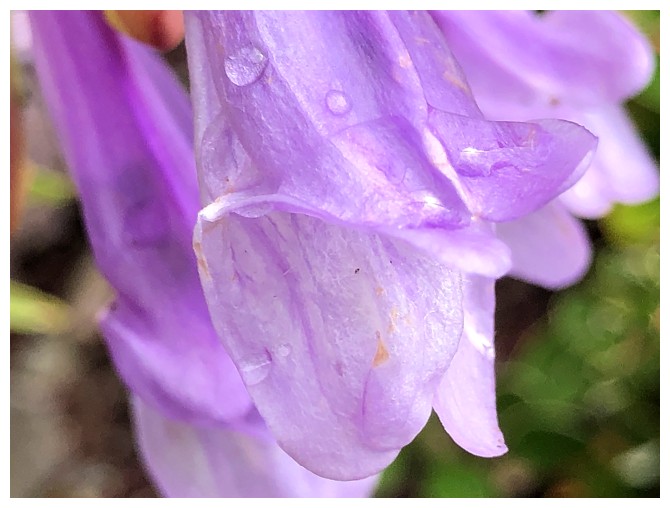
Sticky Geranium - am I making a comeback?
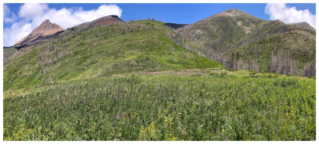
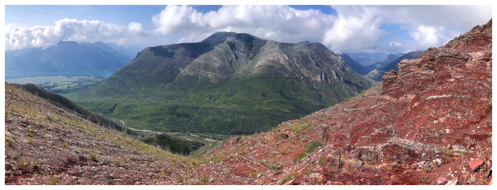
Overview of the mountain
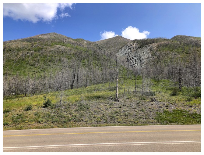
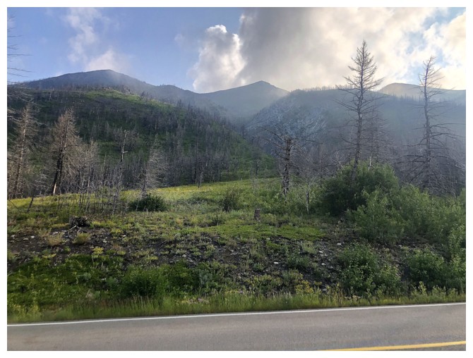
Back on the road, looking up the route
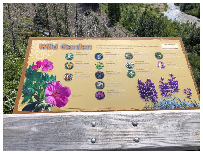
There it is! The hidden secret to my new found knowledge!
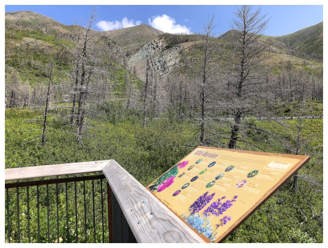
The viewpoint and flower information sign is not hidden at all and sits only a few metres from the road
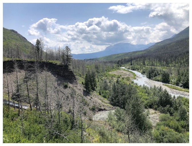
Pleasant view over Blakiston Creek from the viewpoint to end the trip
The End
LOG