September 12, 2010
Elevation gain:
approx.
1100 m
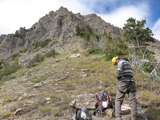
Scrambling and a little climbing with Mark.
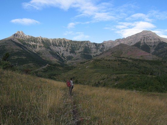
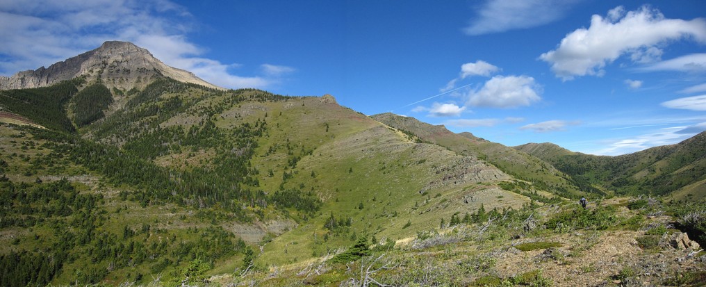
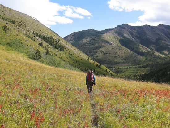
We started from the Bison Paddock and
quickly made our way
to the beautiful valley on the south side of Lakeview Ridge. Some
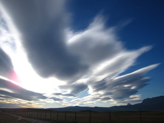
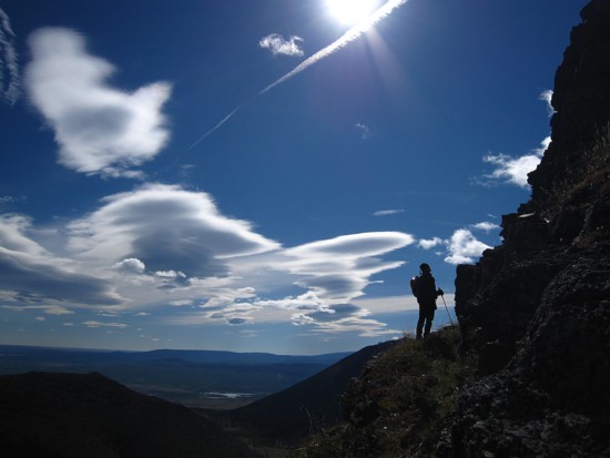
phenomenal
cloud scenery above 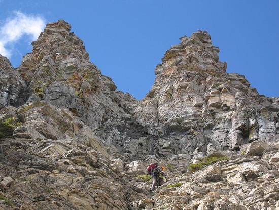 Trail to the pass west of Lakeview
Ridge
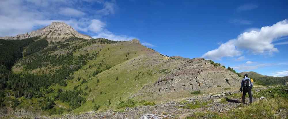
and then turn south, following gentle scree to the summit. However, we
were hoping
to find a more challenging route up and save the easy stuff for the
descent. As
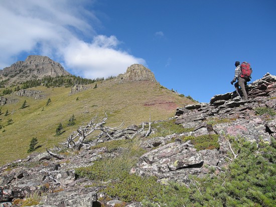
such, we left the trail and scampered up to one of several ridges
descending
from the summit. Besides splendid views of the surrounding area, the
ridge
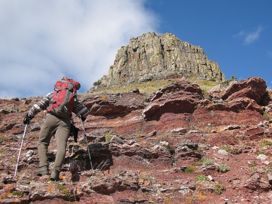
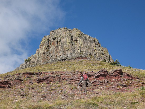
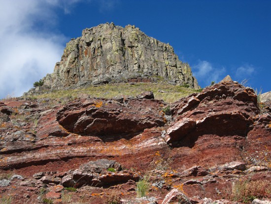
boasted a couple of very interesting rockbands and some terrific red
argillite
scenery.
Trail to the pass west of Lakeview
Ridge
and then turn south, following gentle scree to the summit. However, we
were hoping
to find a more challenging route up and save the easy stuff for the
descent. As
such, we left the trail and scampered up to one of several ridges
descending
from the summit. Besides splendid views of the surrounding area, the
ridge
boasted a couple of very interesting rockbands and some terrific red
argillite
scenery.
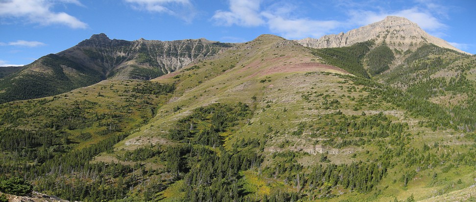
When it appeared staying directly on
the ridge would be too
difficult we traversed into a gully to the right and followed it up.
The gully
did provide a relatively easy and fun ascent to a point close to the
summit. The
easy part ended when we reached a steeper rockband guarding the upper
slopes. A
quick search revealed one less steep break in the band, but it was
still at the
very upper end of difficult scrambling and we decided to break out the
rope.
Mark led the step, I followed, and then it was easier to the ridge and
a fine
view of
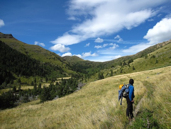
For descent, we took the easy route down to the north, until another straightforward route back to the Horseshoe Basin Trail appeared.
A very enjoyable and worthwhile trip.
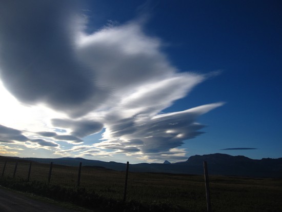
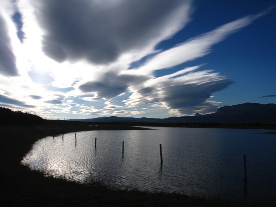
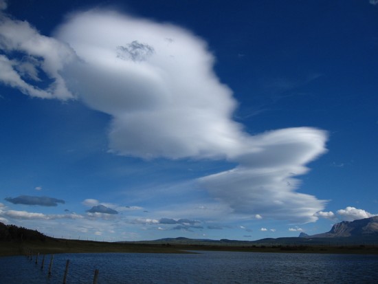
Terrific cloud scenery at the beginning of the trip
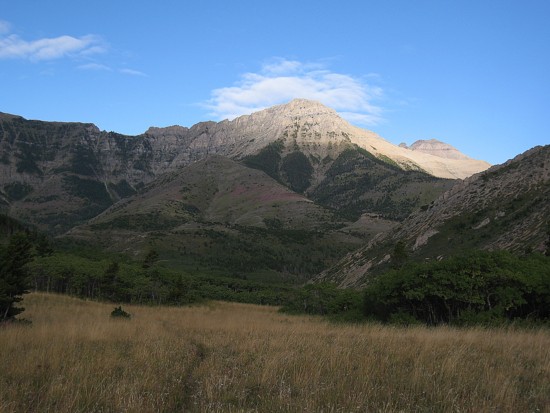
Bellevue Hill (left) and Dunwey Peak (right)
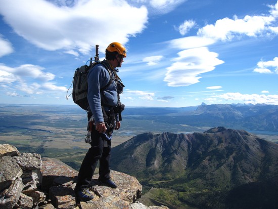
Looking south to Waterton
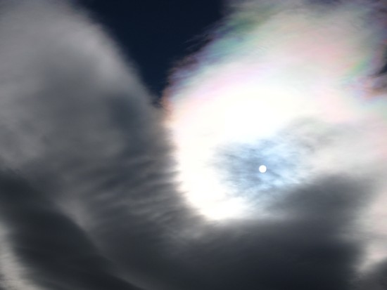
More clouds
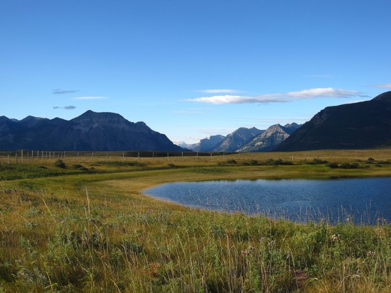
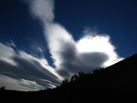
Clouds and Chief Mountain
Dunwey, with Dungarvan in the distant right
Galwey (left) and Dunwey (right)
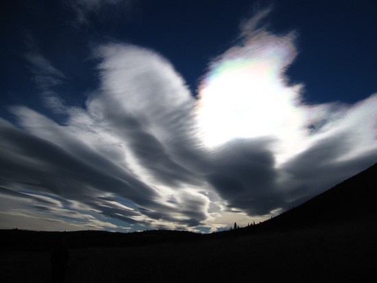
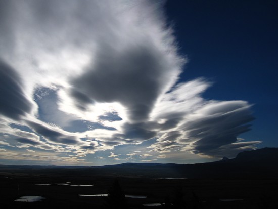
The cloud scenery continued to impress us well into the trip
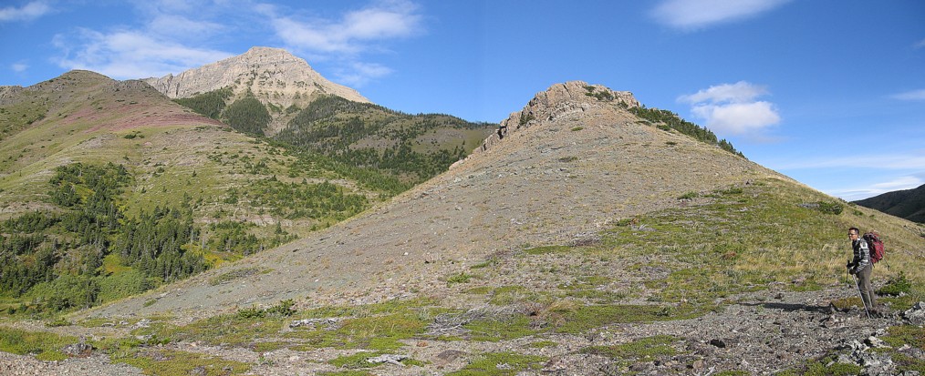
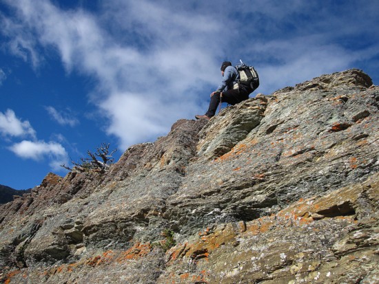
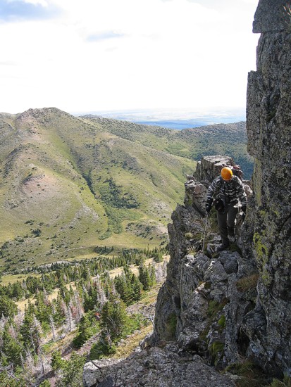
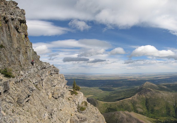
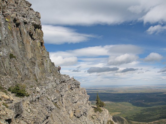
On the ridge
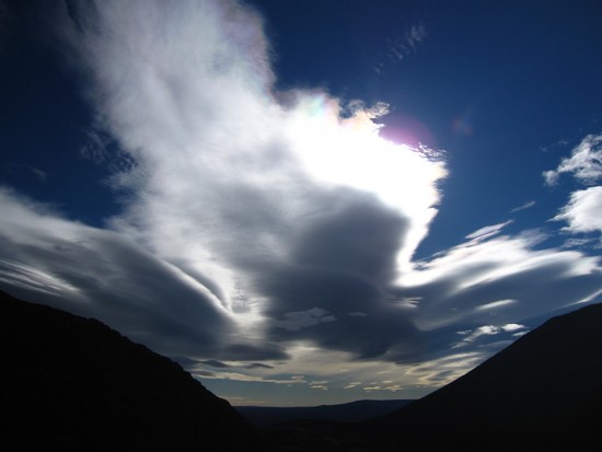
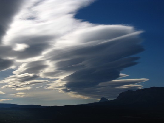
Last of the clouds
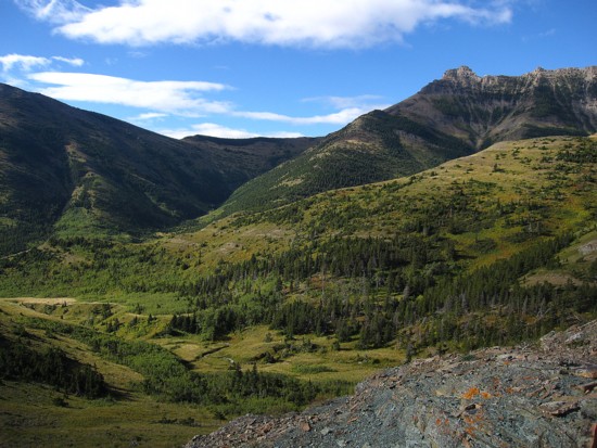
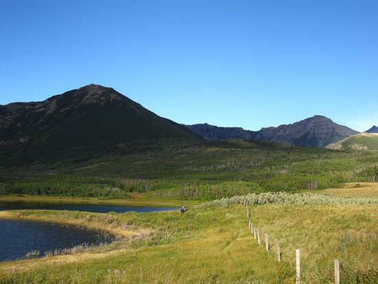
The very pleasant valley east of Galwey
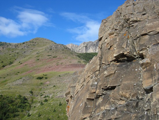
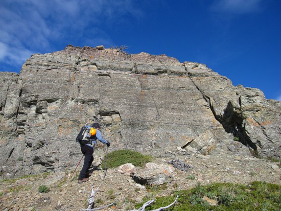
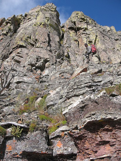
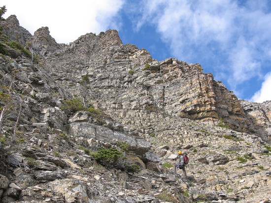
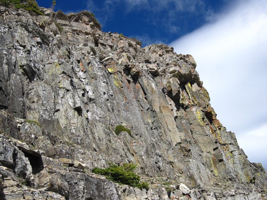
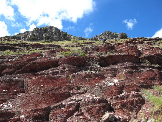
The first of several interesting rockbands on the ridge
Scrambling up the band
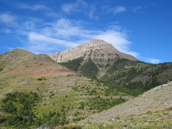
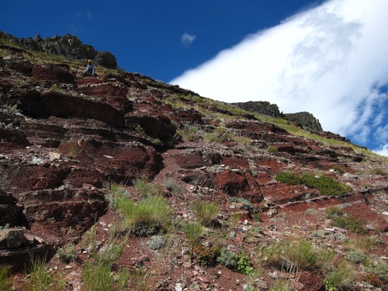
The long, but beautiful ridge to Dunwey
Mark approaches the second rockband
More excellent scenery
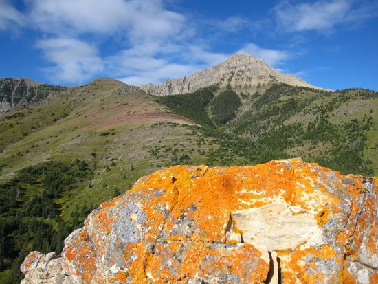
Orange lichen
Mark and the second rockband
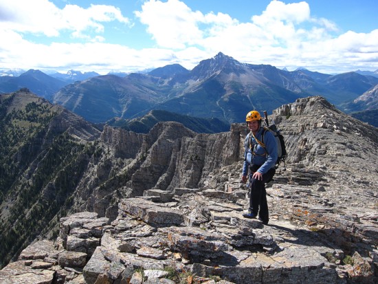
At the top
A very minor, but very colourful rockband
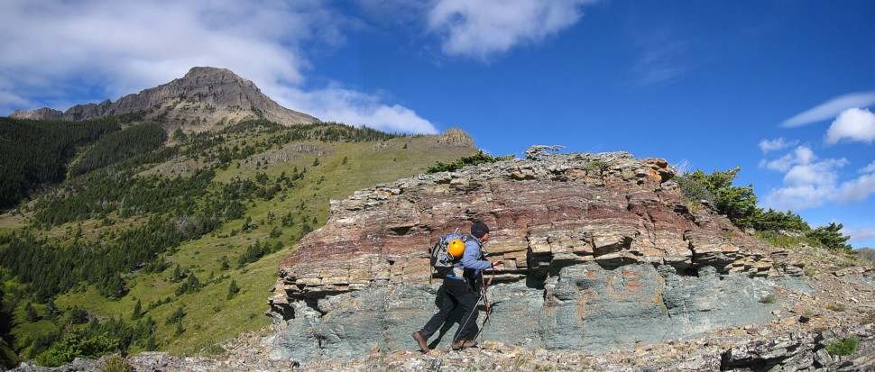
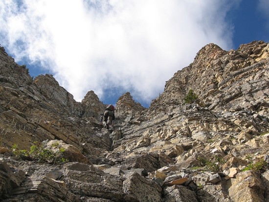
Mark atop the third
Looking at the fouth and the summit block of Dunwey at the far left
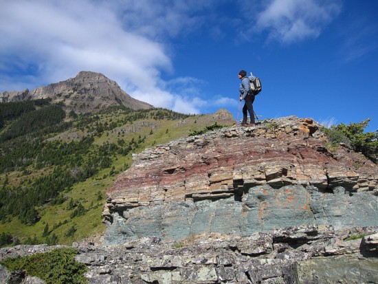
Approaching the fourth and much more serious band
Same as above
There was a route right up the centre, but we decided to go around
The lichen covered rock of the fourth
Traversing around
Some mildly exposed terrain on the traverse
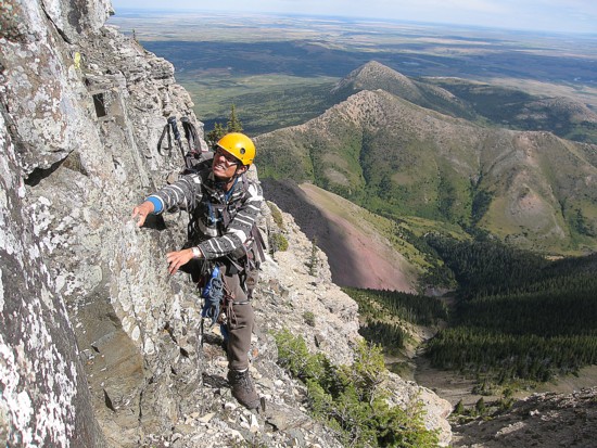
Gearing up for the summit block
In the ascent gully
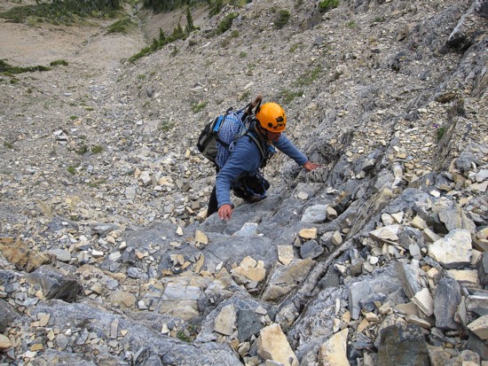
Typical terrain in the lower section
Same as above
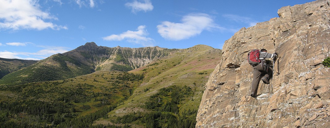
Approaching the crux
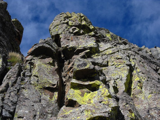
The crux rockband
Looking for a route around the crux
Didn't find one
Traversing back to the least steep section
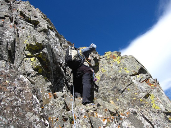
Mark leads the crux step
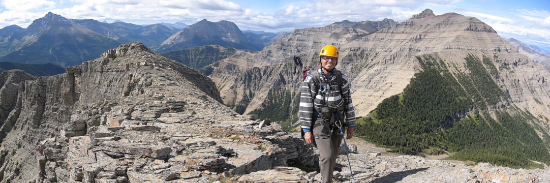
At the summit; Blakiston, Anderson, and Dungarvan are prominent
Mark at the summit
Same as above
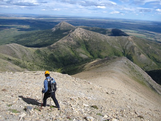
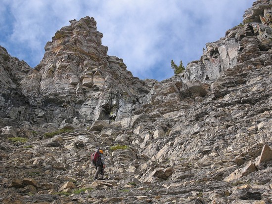
The very easy descent route; Lakeview Ridge in the centre
More pleasant red argillite surprises on the way down
Same as above
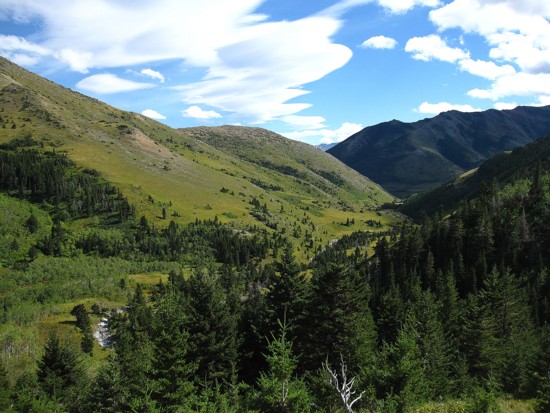
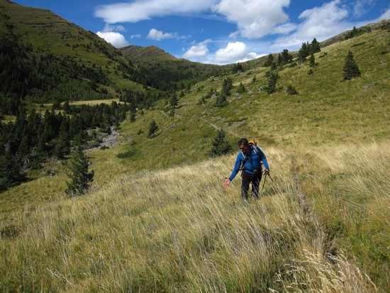
The Horseshoe Basin Valley
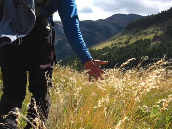
Hiking out
Mark does his "Gladiator" impression
Same as above
Looking back
While not as striking as the morning view, the clouds persist over Chief Mountain well into the day