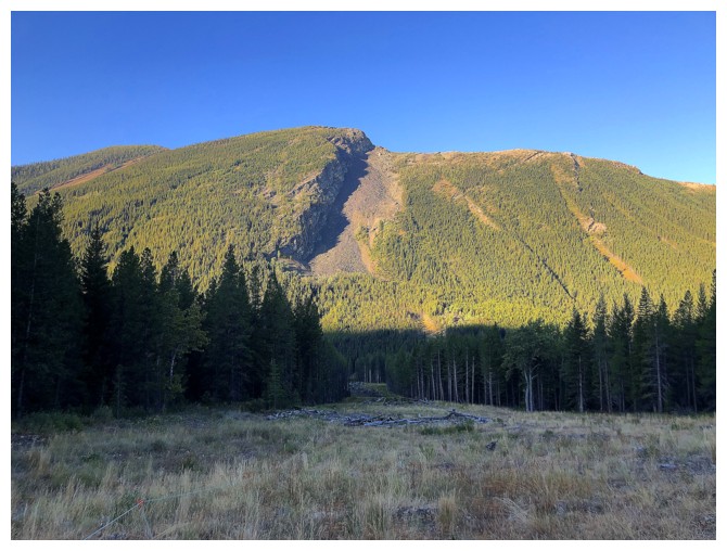
Jutland Mountain
September 10, 2022
Mountain height: 2397 m
Elevation gain: 1287
m
Round-trip time: 9 hours
Scrambling with
Dave McMurray and Brandon Boulier.
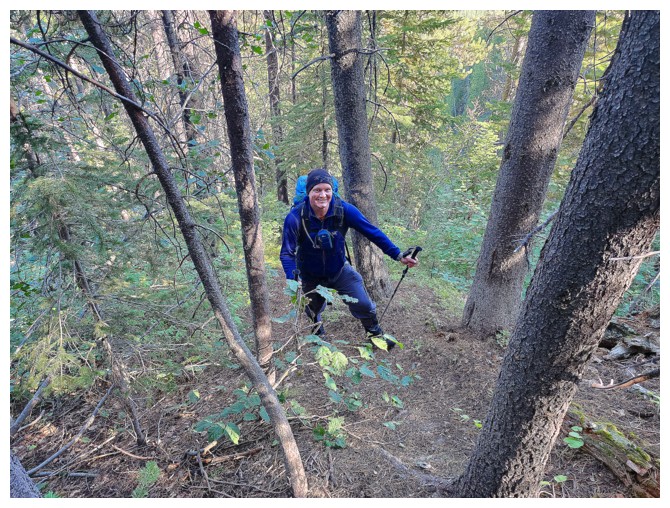
I was very
excited when Dave suggested Jutland Mountain for the day’s objective. An
aborted attempt about 2 months earlier left me unsatiated and Dave also had unfinished
business with Jutland. 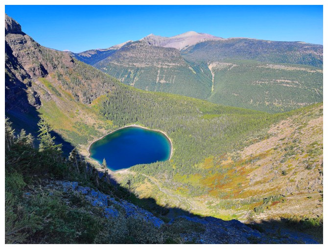 Thankfully, Cornelius Rott had provided a blueprint for
the ascent, though we did plan a slightly different route up via South Scarpe Lake.
Thankfully, Cornelius Rott had provided a blueprint for
the ascent, though we did plan a slightly different route up via South Scarpe Lake.
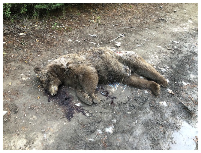
The only
unpleasantness occurred en route to the trailhead. A dead
bear lay unceremoniously in the middle of the road. It was difficult to
determine if the animal had been killed by humans or perhaps another bear. The body
was gone on return.
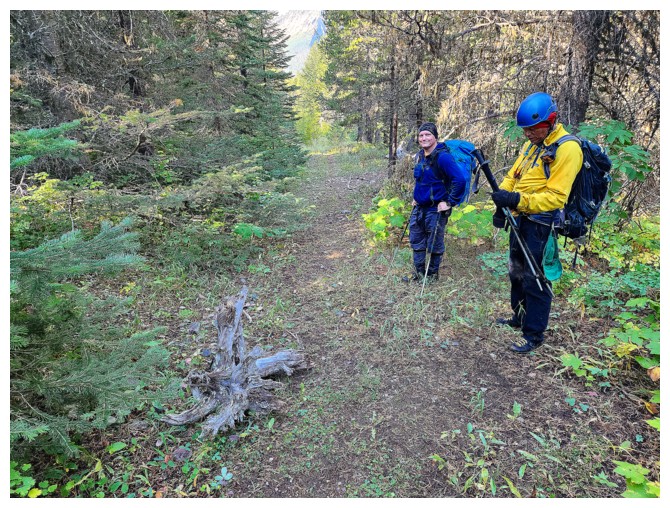
Thankfully,
that unpleasantness was followed in nice surprise in running into Brandon
Boulier at the trailhead. Brandon was essentially attempting the same two-day
trip as Cornelius and Don and since Jutland was his first objective, we were delighted
to join forces.
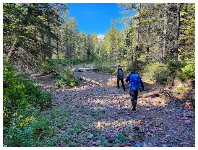
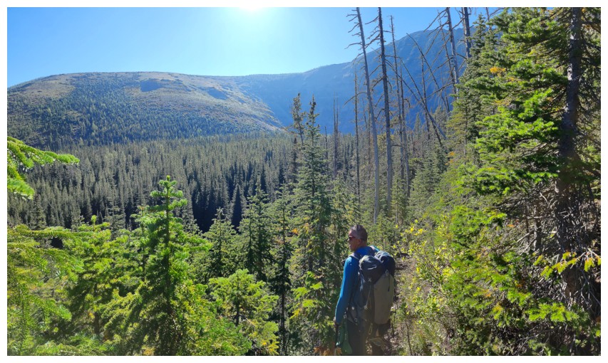
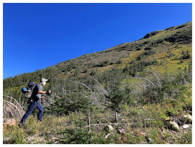
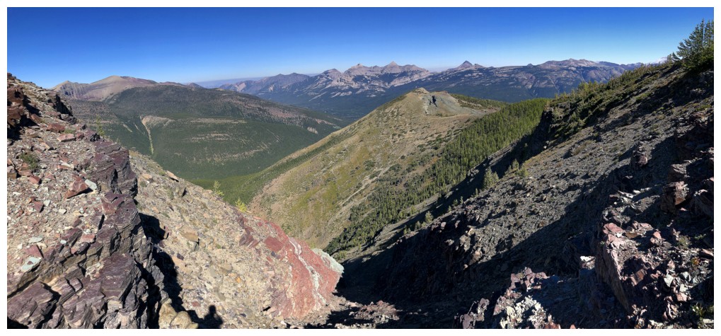
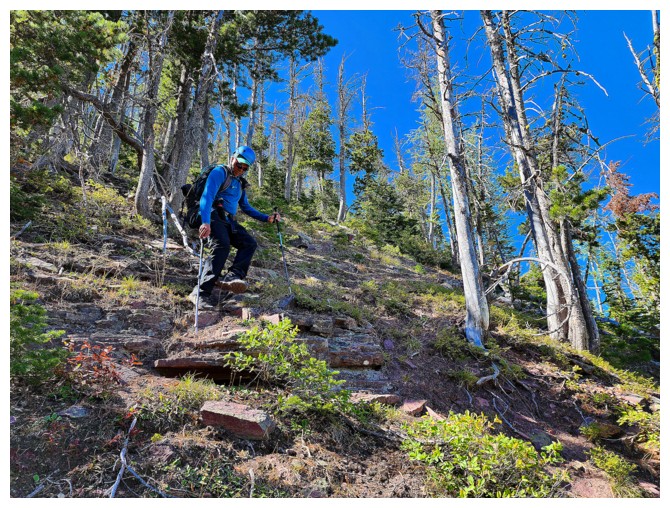
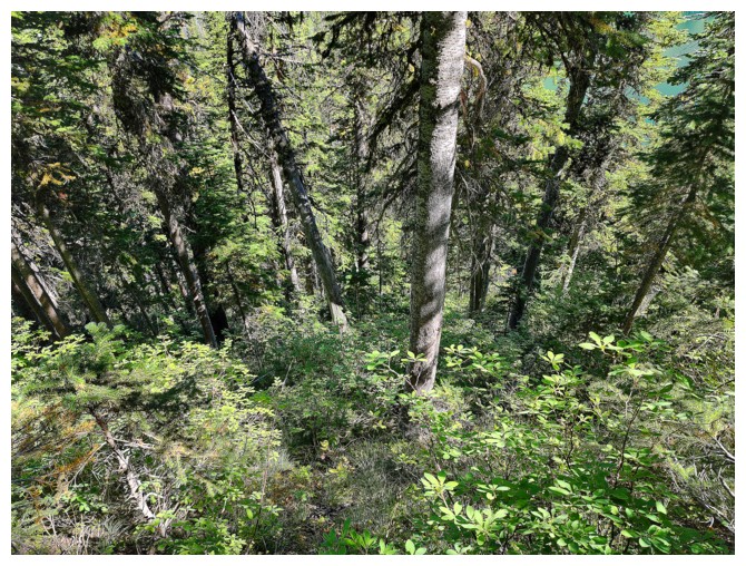
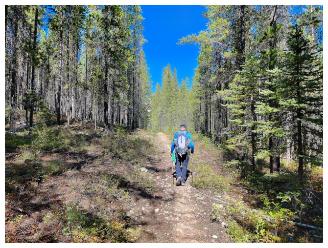
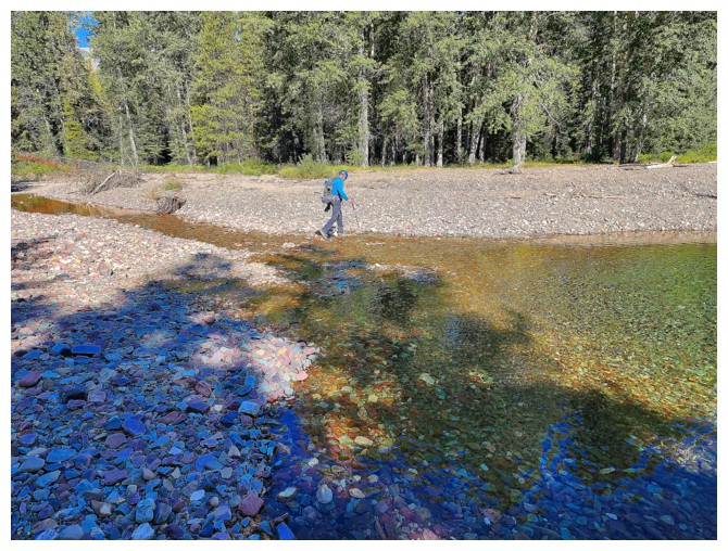
The 12 km bike
approach went without much ado, as did the crossing of a surprisingly
water-starved Castle River. From that point we followed an excellent trail,
paralleling Scarpe Creek, to a point due north of South Scarpe Lake. There apparently
was another good but unsigned trail that would lead us to the lake. 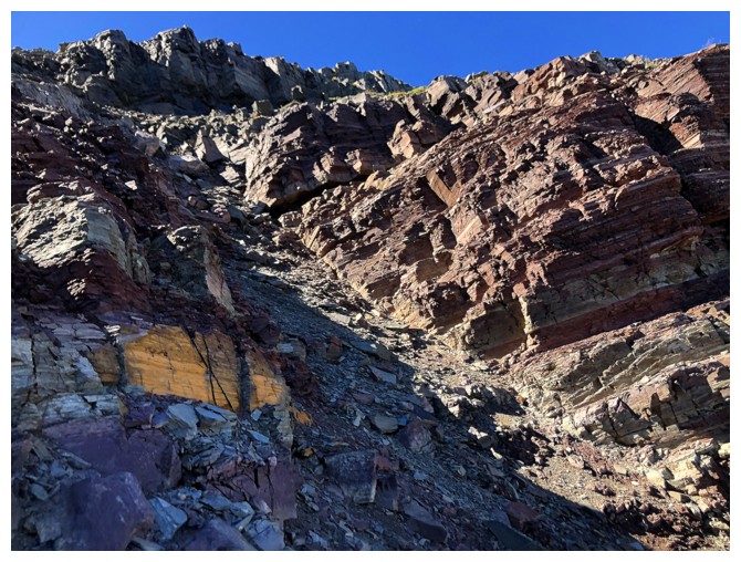 This is
where our route would differ from Cornelius’. After walking right past the
correct trail, even though Dave pointed out he thought it was the right one, we
backtracked and started up – always listen to the Master! All three of us were
immediately struck by how good this new trail was. It was steep, but
well-tracked and quite direct. Throughout, Dave and I were impressed on
Brandon’s fitness. He easily kept pace, even though his 2-day backpack was
probably three times the weight of single day packs.
This is
where our route would differ from Cornelius’. After walking right past the
correct trail, even though Dave pointed out he thought it was the right one, we
backtracked and started up – always listen to the Master! All three of us were
immediately struck by how good this new trail was. It was steep, but
well-tracked and quite direct. Throughout, Dave and I were impressed on
Brandon’s fitness. He easily kept pace, even though his 2-day backpack was
probably three times the weight of single day packs.
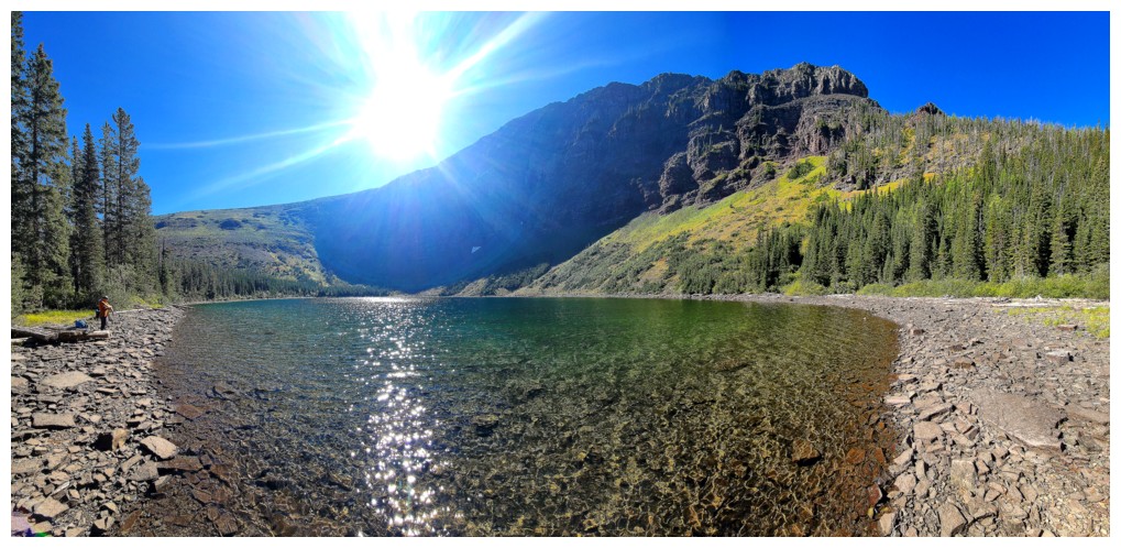
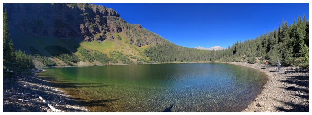
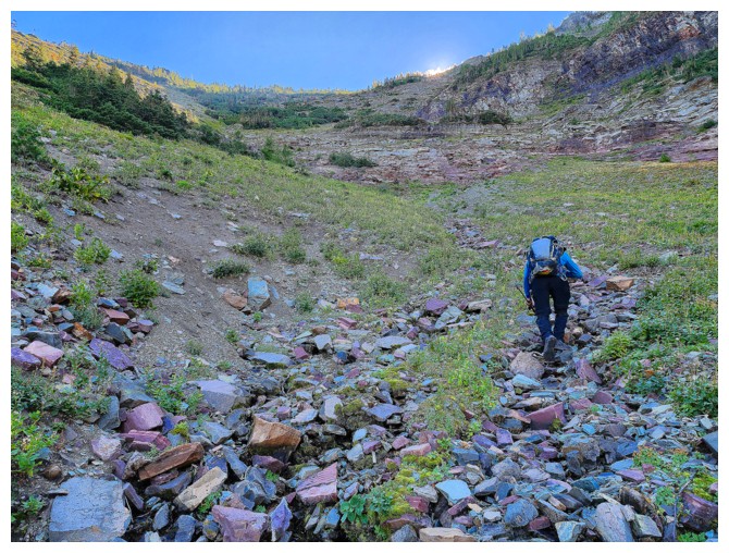
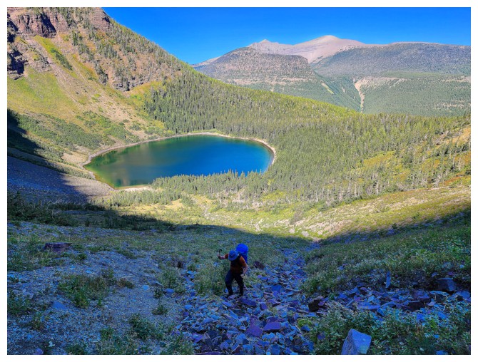
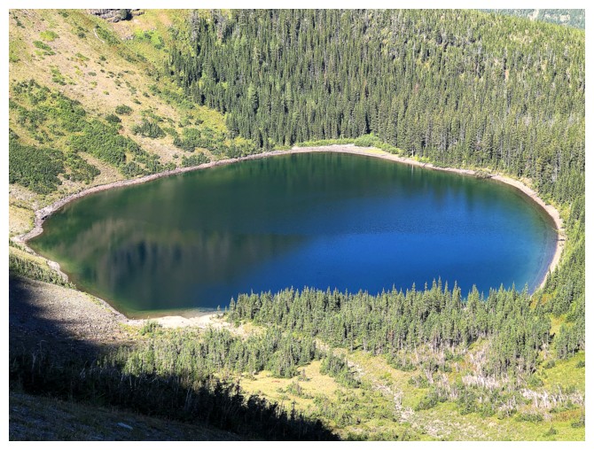
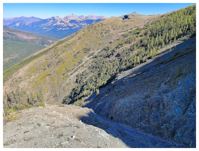
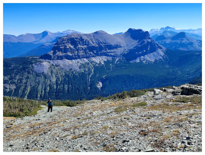
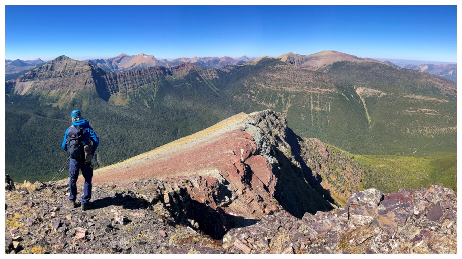
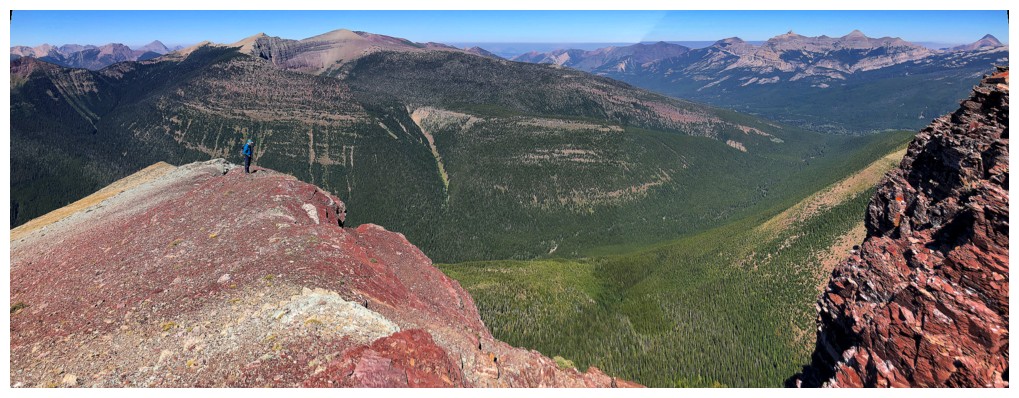
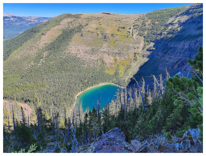
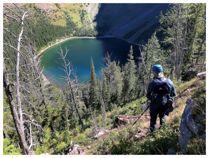
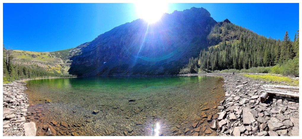
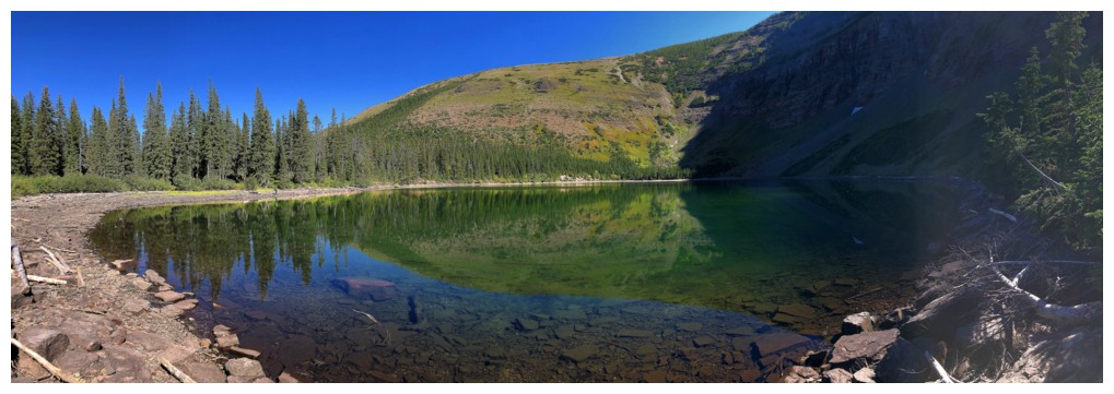
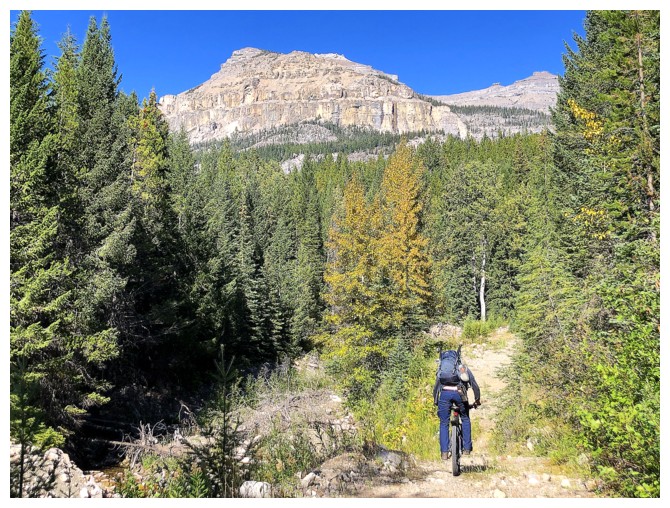
We reached
South Scarpe Lake approximately 3.5 hours from the start. And what a gem –
crystal clear, emerald-hued waters, under Jutland’s imposing south face, with
gentler, meadowy slopes on the east side. This was a logical place for a short
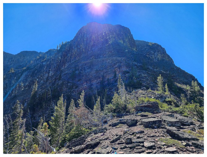
break to enjoy the ambiance and also to pick a route up Jutland. Initially, Dave
and I had been planning on the north ridge. However, from the lake most of this
route was unseen and quite steep at the bottom. In contrast, the east ridge
looked straightforward, and we could see most of route up – decision made.
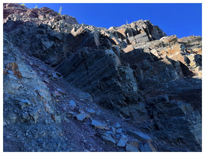
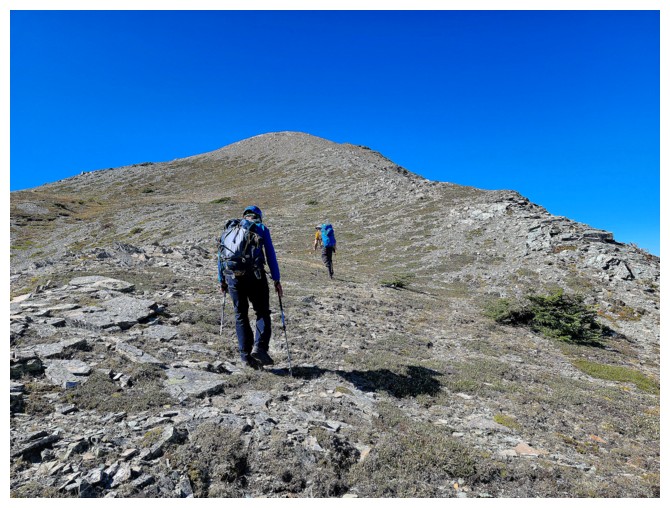
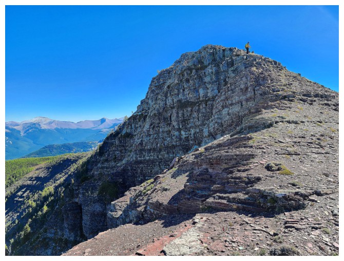
Good decision! Our
respective ascent routes were all without significant challenge, but all
scenically interesting and rewarding. I say “respective” because we all ended
up taking slightly different routes up to the ridge. Dave and I initially took
a steeper line, but parted ways about two-thirds of the way up, and Brandon,
having to contend with a much heavier pack, took a less steep route to the
east. Nevertheless, we eventually all ended up at the summit and
congratulations were extended.
Given Brandon
still had a huge day ahead of him, he didn’t stay long at the top. We said our
goodbyes, wished him well, and then discussed what to do next. Easiest would
have been to retrace our route(s) exactly; most interesting would be to find
our way down that aforementioned north ridge. Of course, we decided on the
north ridge!
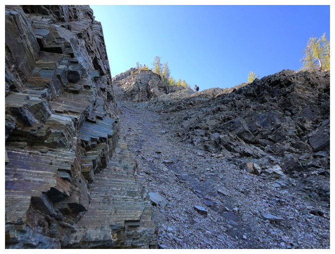
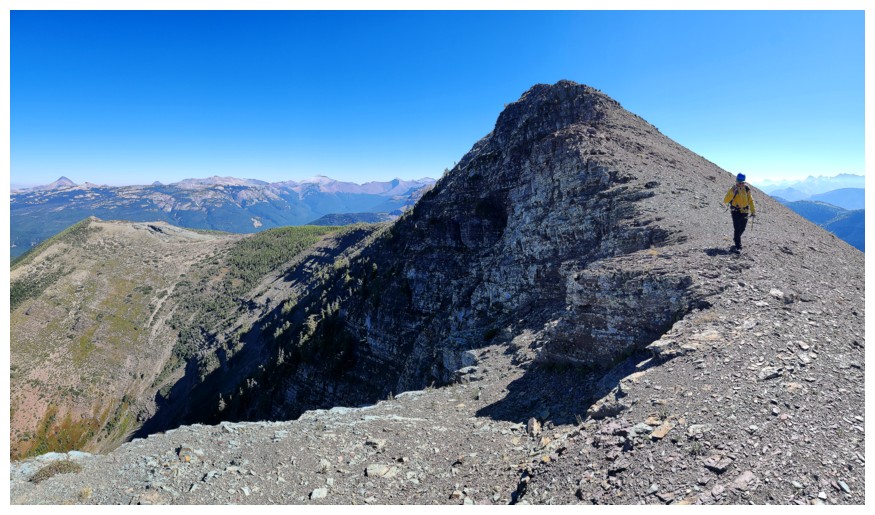
Some
route-finding and decision-making were required, but in general the descent
went very well. The treed slopes down to the lake were very steep. In retrospect,
ascending the steep north ridge and descending the east ridge would have been the way
to go. Needless to say, the remainder of the descent was far easier.
Big thanks to
Dave and Brandon for their fantastic company and willingness to explore new
terrain.
Click HERE to see Dave’s excellent report.
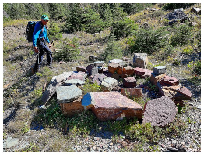
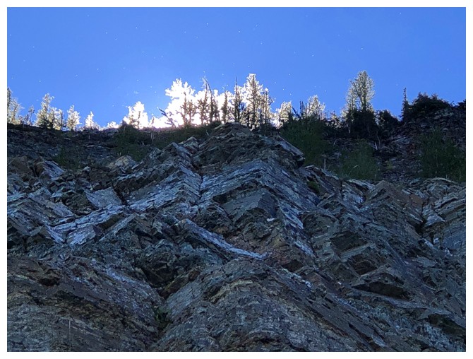
In 21 years of mountain trips, I've never seen anything like this
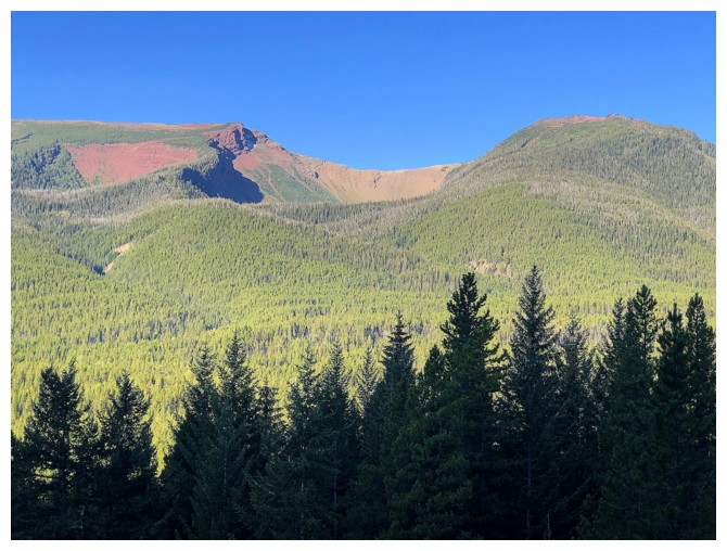
One of the routes up Lys Ridge
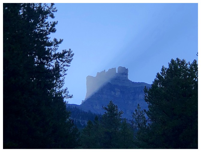
The Sun's rays and shadow on Castle Peak
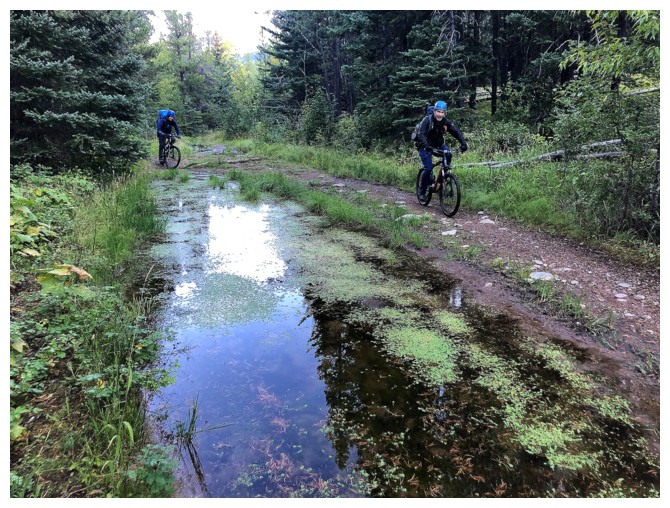
Puddle dodging
Part of the long and very cool ridge that joins West Castle to Lys
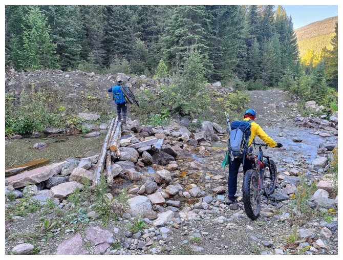
Stream crossing. Brandon and Dave lifted their bikes and used the log
bridge; being too much of a wimp to do the same with my ebike I just
walked through the stream! (photo by Dave)
Off the bikes and onto the secondary trail (photo by Dave)
Sizing up the Castle River crossing
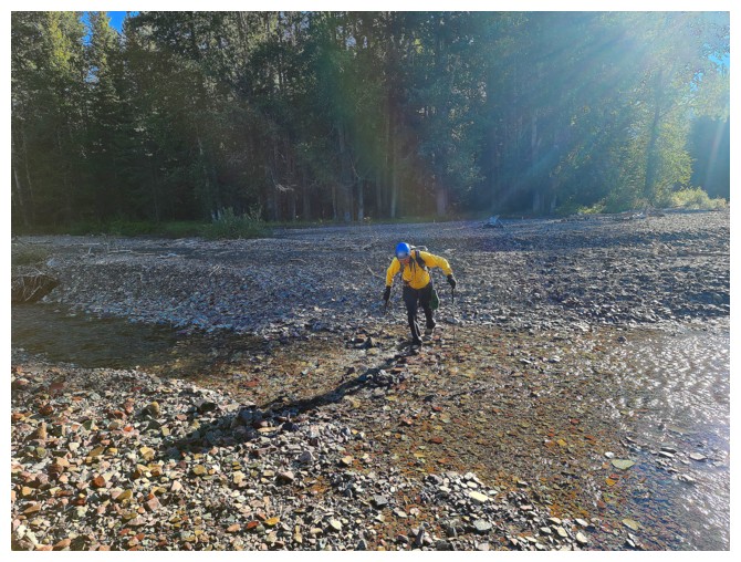
There wasn't much to size up - the river was very low (photo by Dave)
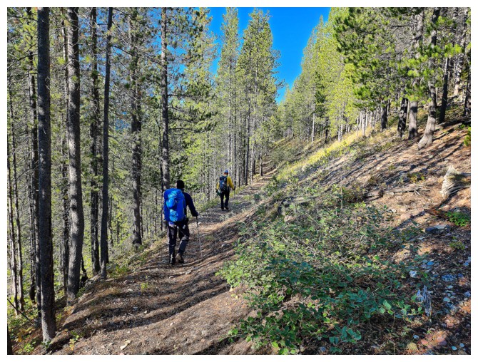
Onto a surprisingly good trail on the other side of the river (photo by Dave)
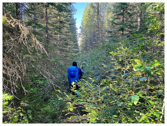
It was overgrown in places, however (photo by Dave)
Hiking right past the trail to South Scarpe Lake (photo by Dave)
Dave has us back on track (photo by Dave)
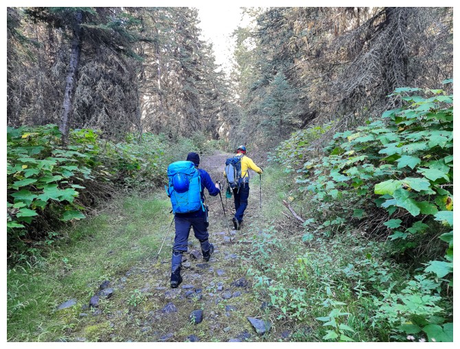
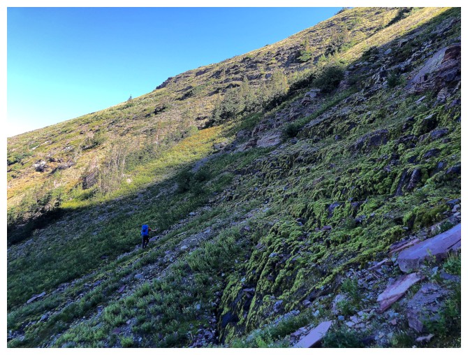
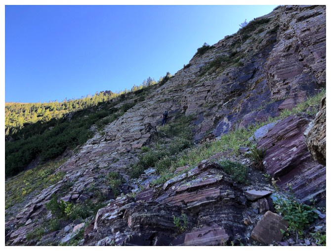
Brandon enjoying the steep but good trail to South Scarpe Lake (photo by Dave)
After a steep grind the trail traverses towards the lake (photo by Dave)
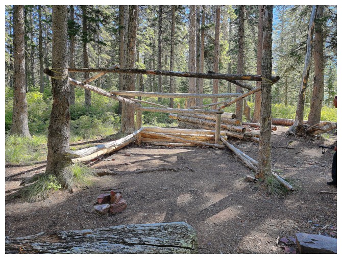
Someone is building something near the lake (photo by Dave)
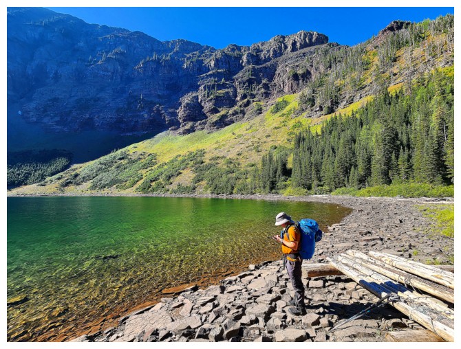
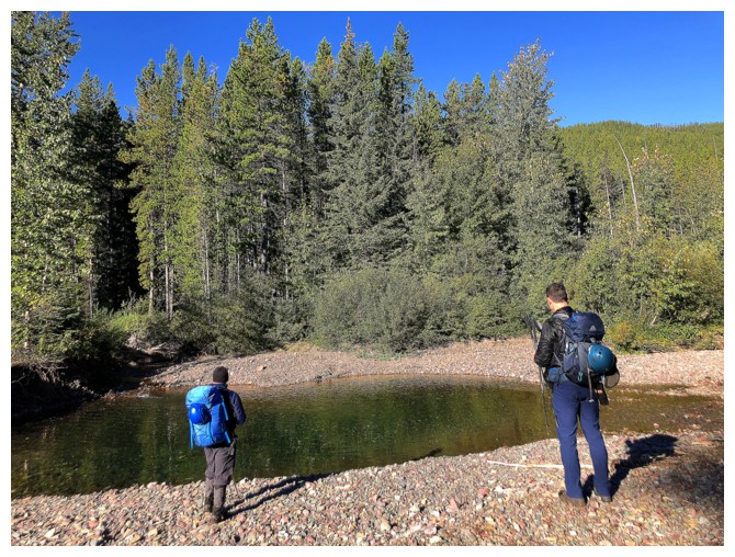
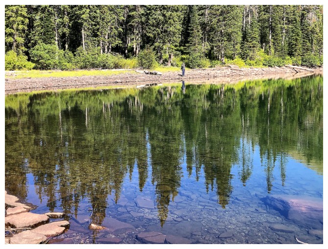
Brandon at the shores of beautiful South Scarpe Lake (photo by Dave)
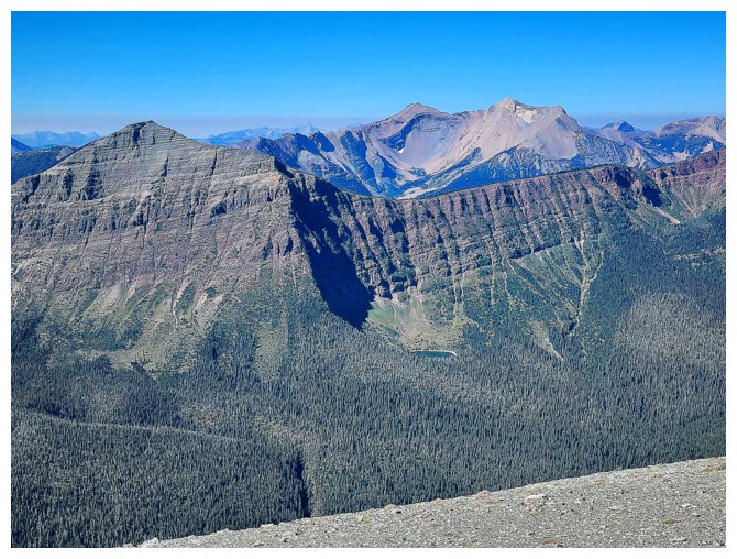
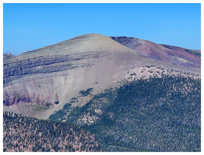
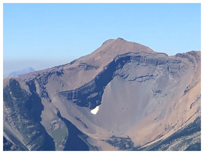
The lake and Jutland Mountain (photo by Dave)
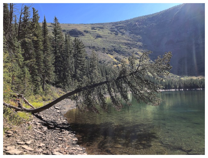
That tree is giving gravity a run for its money!
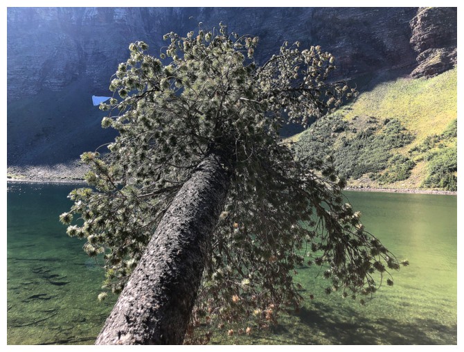
Hold on little guy!
The troops hike around to the south side of the lake
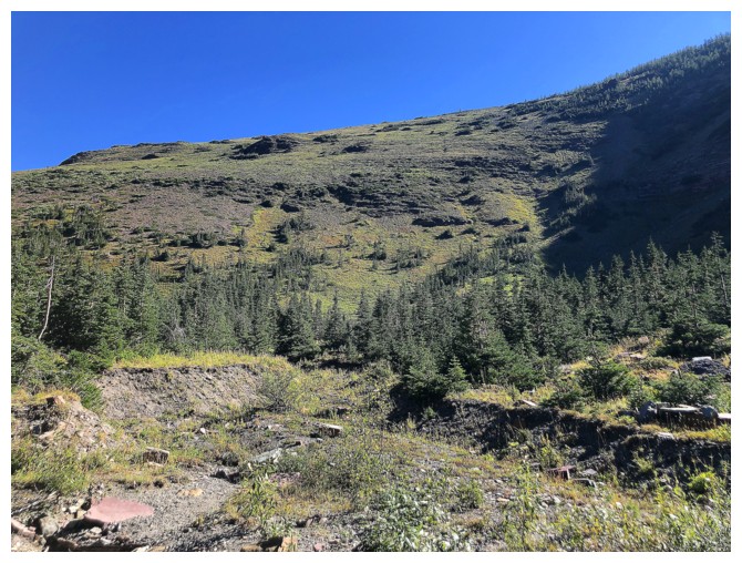
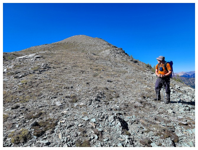
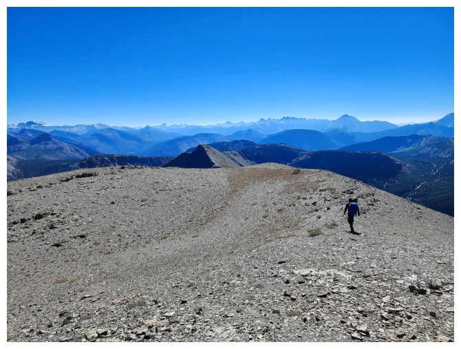
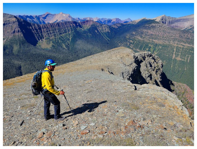
The general route up
Unless the squirrels are on steroids, humans have been here (photo by Dave)
Dave sizes up the route ahead
Gentle grade to start but it quickly gets steep (photo by Dave)
The view of the lake is fantastic throughout (photo by Dave)
Brandon goes left
Obvious
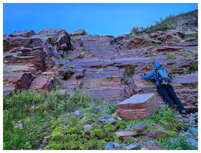
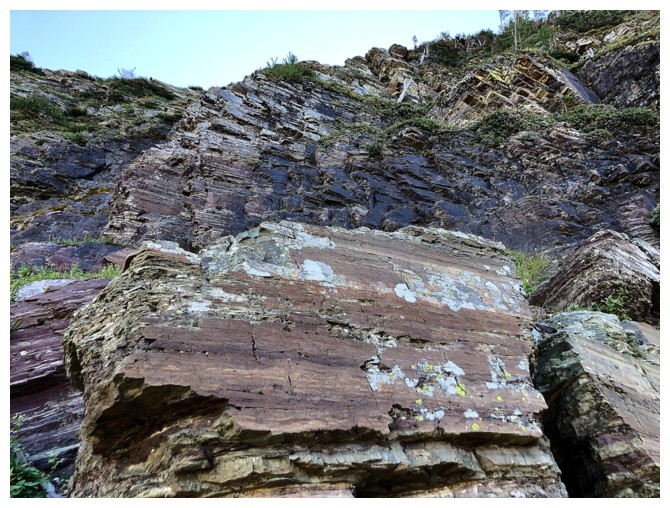
Me and red argillite - true love! (photo by Dave)
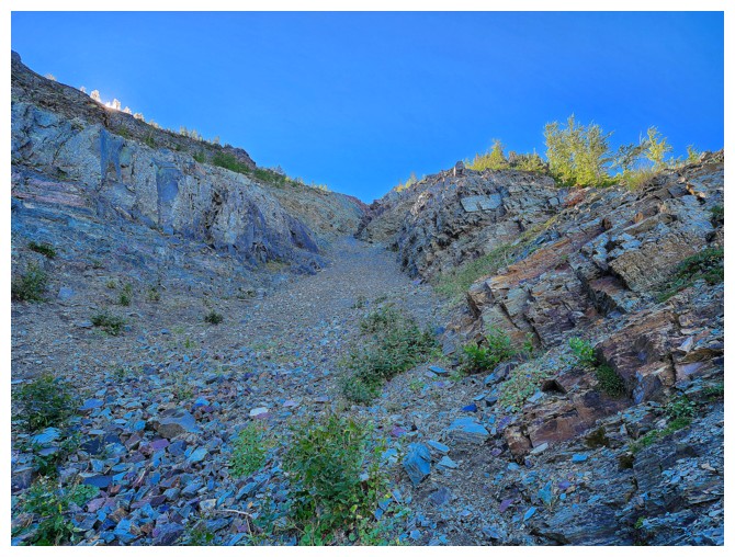
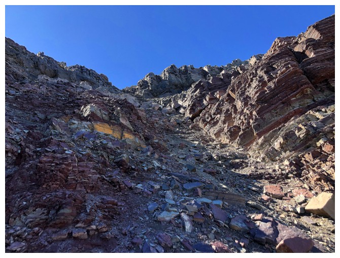
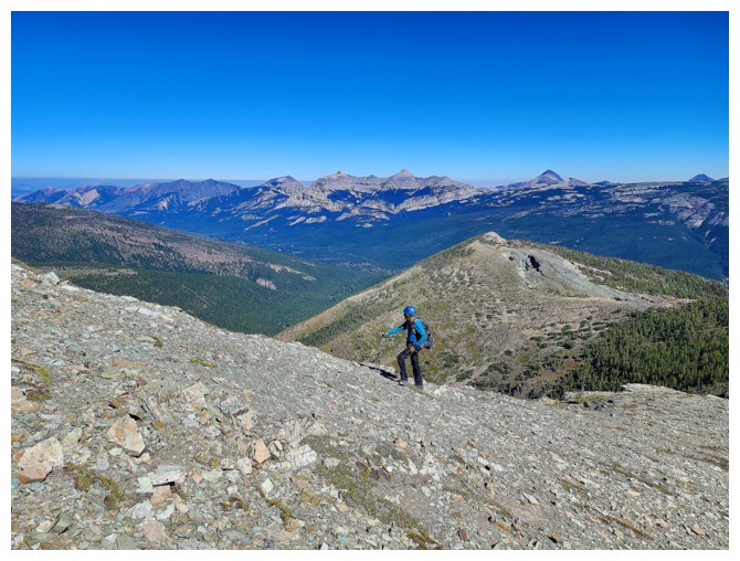
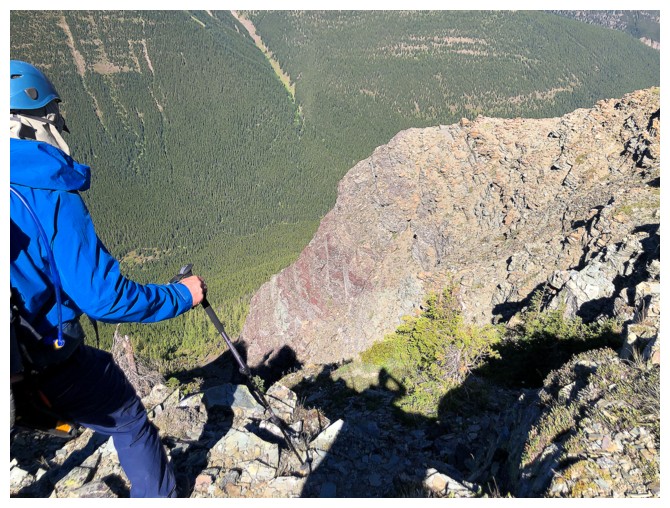
The grade has definitely increased
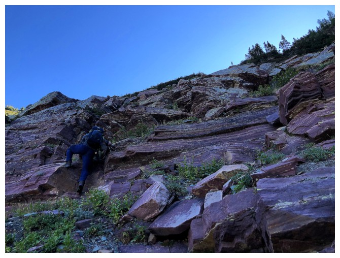
Dave leads the way
He's found a gully near the left
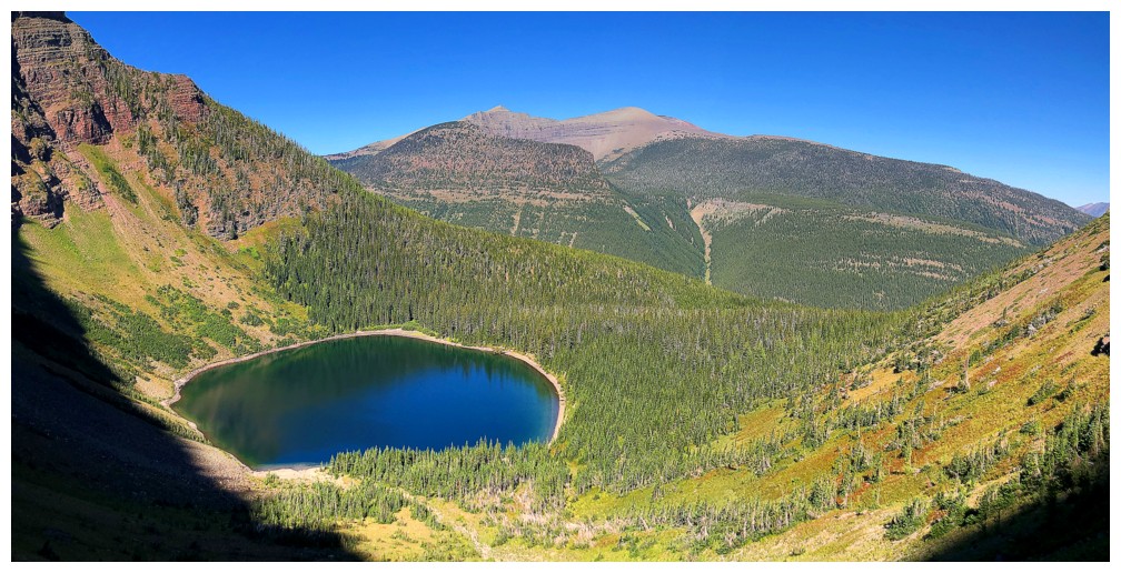
The lake is backdropped by the south end of Lys Ridge (photo by Dave)
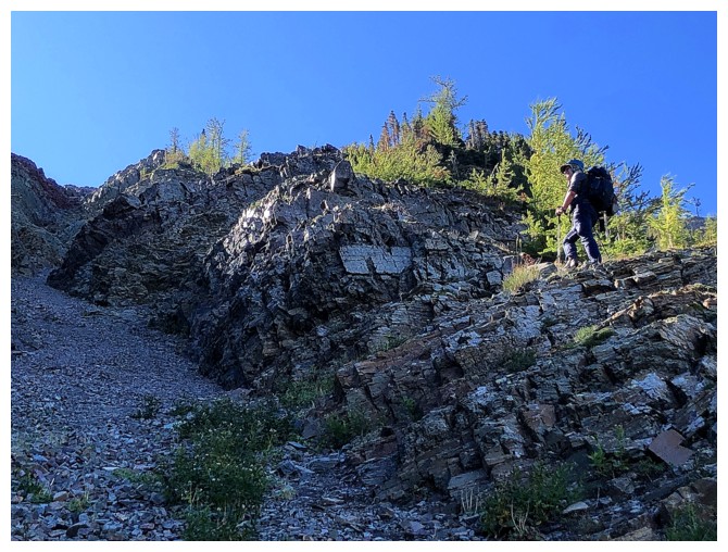
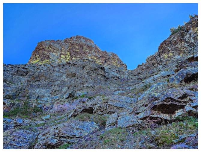
Spot Dave approaching some very steep terrain
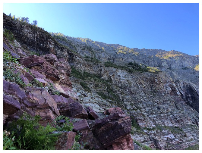
Cool rock, but much of it was not good for scrambling
Dave heads left....
.....that's why!
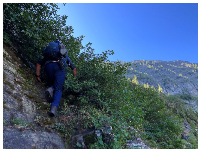
Using the brush to get up a steep step
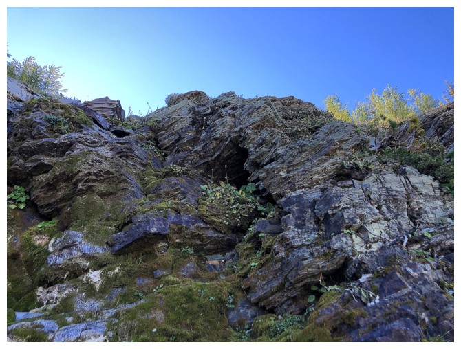
This rock was mossy, wet, and very slick
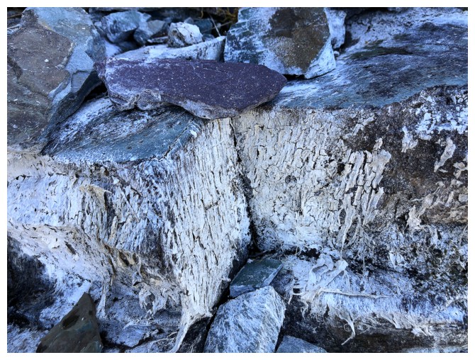
Some of it was covered in a white algae-like growth
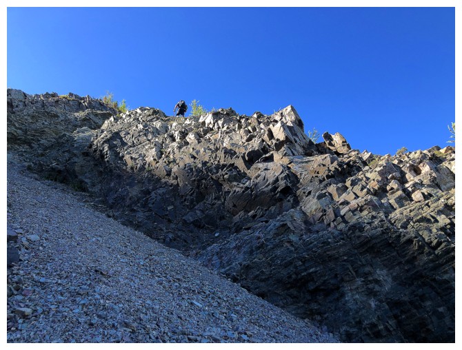
Looking down the gully Dave found to take us to the ridge (photo by Dave)
My view of Dave
The gully. I stayed in it, while Dave gained the ridge on the right (photo by Dave)
Dave on the ridge
There he goes
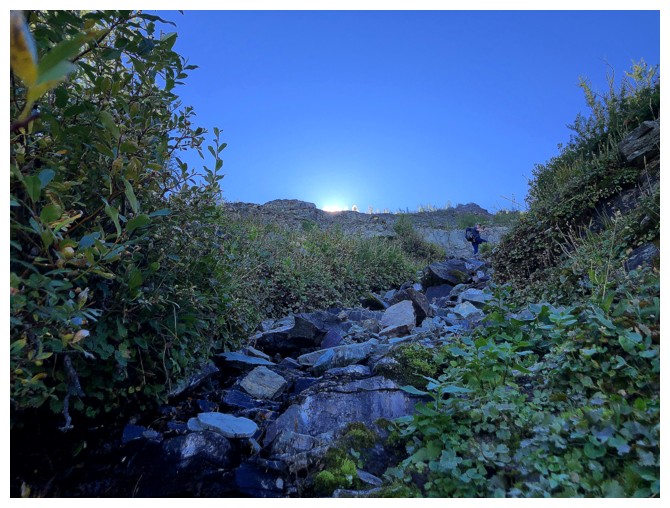
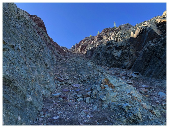
I'm stuck in the darkness. Unfortunately, the Sun's rays are not yet reaching the inside of the gully.
But there are lighting up the trees up top
Last glimpse of Dave for a while
Last glimpse of me for a while (photo by Dave)
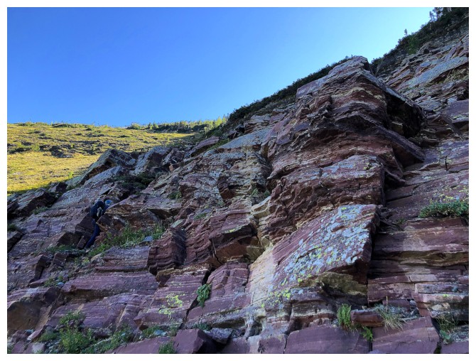
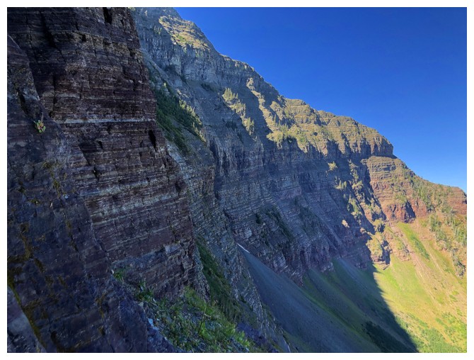
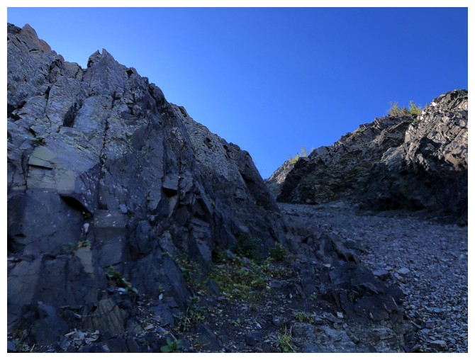
The rock on both sides of the gully was typically Castle - i.e. wonderfully colourful
Enjoying a band of green argillite
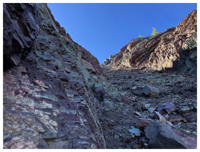
...before it gives way to red argillite
Looking over to the east ridge to find Brandon. He was so fast, however, that at this point he was above me.
Finally some Sun on the rock
...at least of the right side of the gully
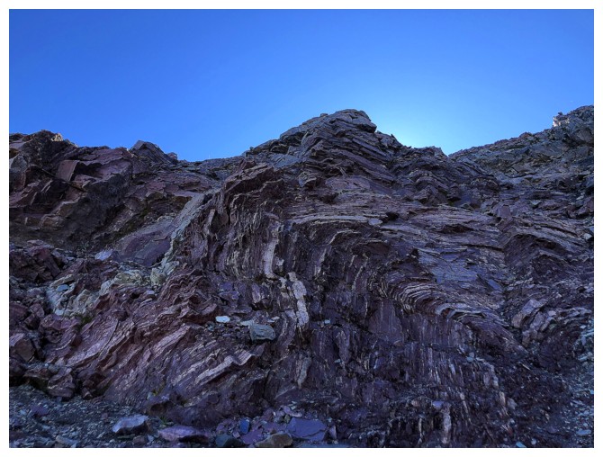
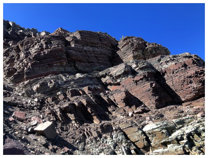
Crazy rock folding
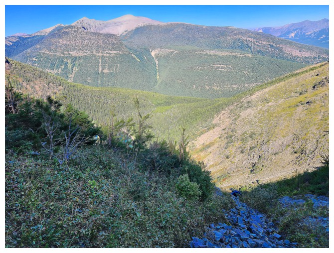
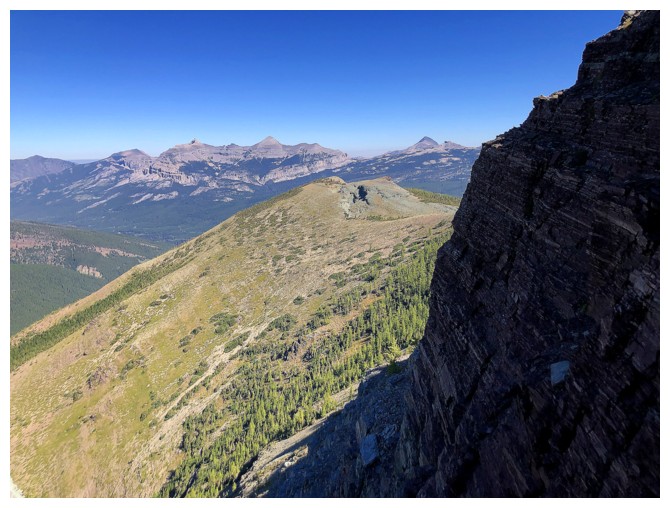
View to the northeast from near the top of the gully
Love the bright orange colour of the rock at the left
Brandon and Dave are far ahead of me and waiting patiently (photo by Dave)
I'm still hypnotized by the orange
My slow pace gave Dave ample time to get some great shots from the ridge (photo by Dave)
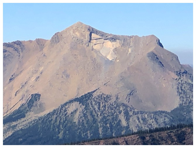
Loaf Mountain (photo by Dave)
Spionkop Ridge (left) and Newman Senior (photo by Dave)
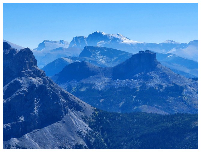
Mount Blakiston in the distance and Font Mountain near the right, in the foreground (photo by Dave)
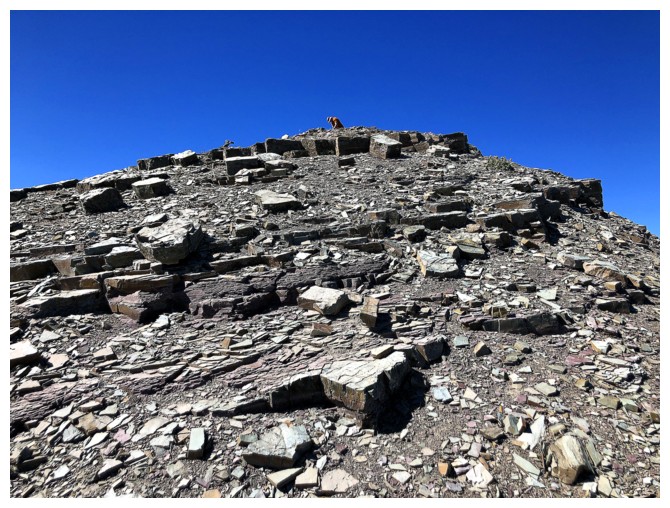
I'm almost out of the gully!
The slowpoke emerges, with Mount Matkin as an excellent background (photo by Dave)
For a fleeting moment I am ahead of Dave (photo by Dave)
That didn't last long! (photo by Dave)
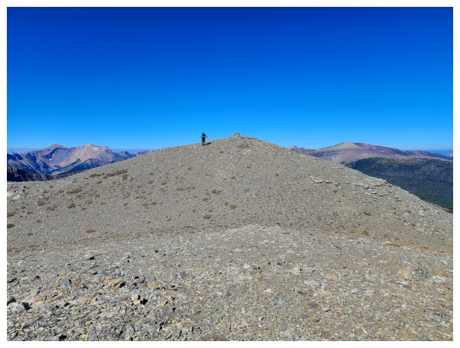
Brandon takes the final few steps to the top (photo by Dave)
He has arrived
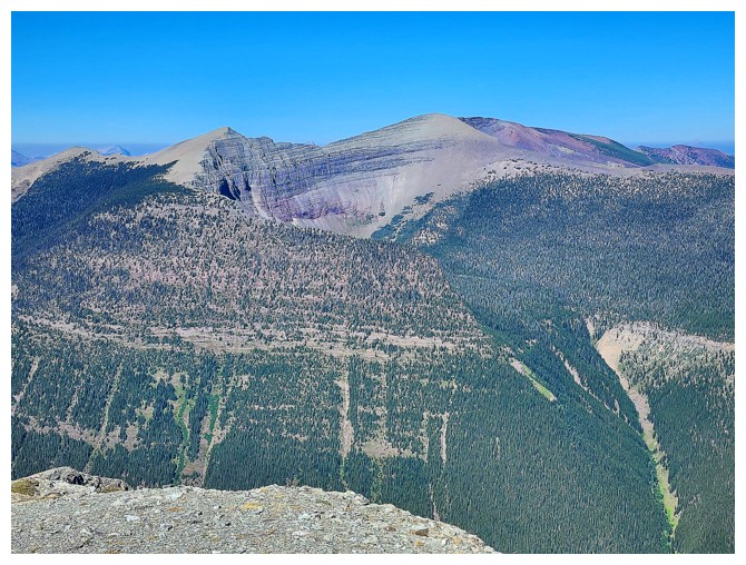
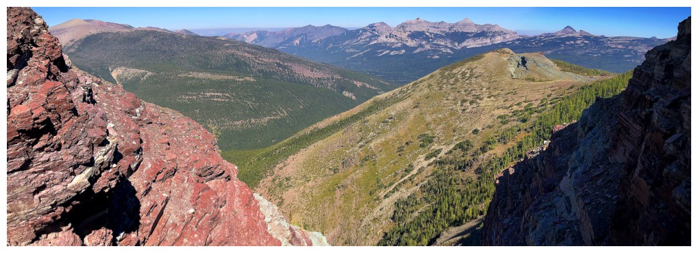
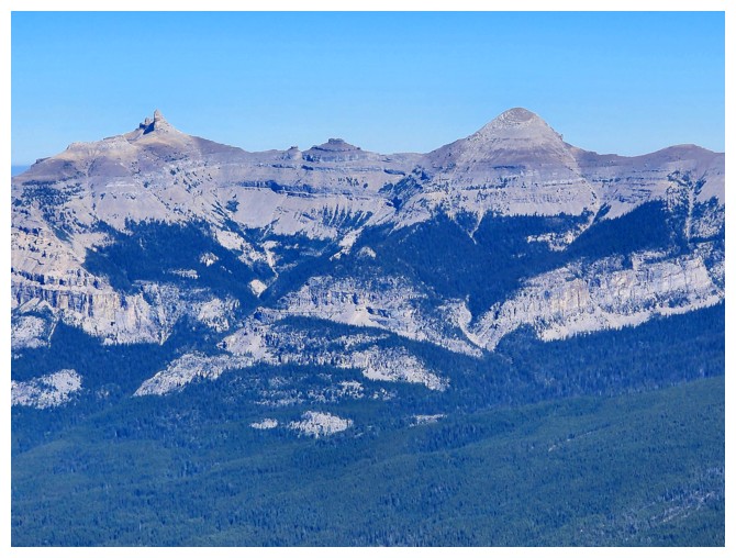
The
south end of Lys Ridge again. Looks like the highpoint at the left
could be reached from this side. Traversing to the true summit - that's
a different story (photo by Dave)
A few familiar favourites: La Coulotte, Scarpe and Jake Smith (photo by Dave)
Castle Peak (left) and Windsor Mountain (photo by Dave)
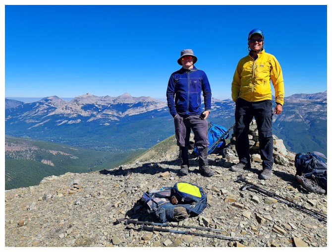
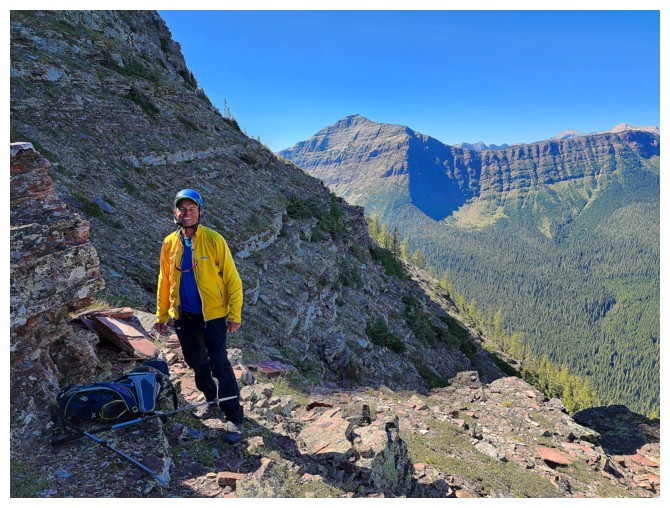
Me and Brandon at the summit. Put on my yellow jacket for extra colour only! (photo by Dave)
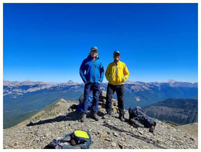
Me and Dave (photo by Brandon)
As interesting as the ascent was, it paled in comparison to the contents of the summit register! (photo by Dave)
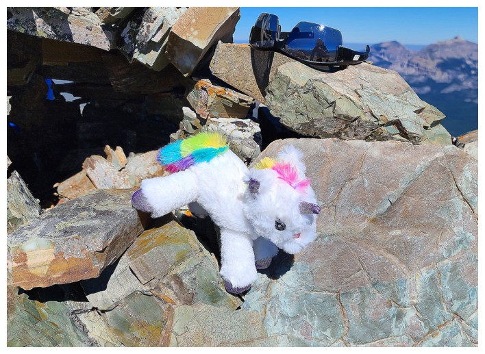
Sharing the summit with this unicorn was definitely the highlight of the trip (photo by Dave)
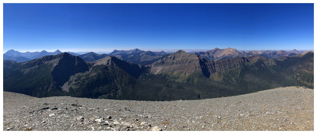
Part of La Coulotte Ridge in the foreground; Langemarck Mountain (right) and Kenow Mountain (left)
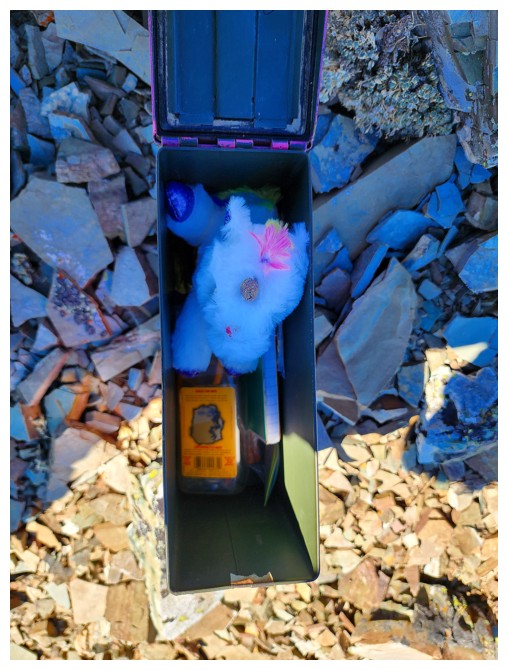
Big thank you and kudos to Ephraim Roberts for taking care of and replacing so many summit registers (photo by Dave)
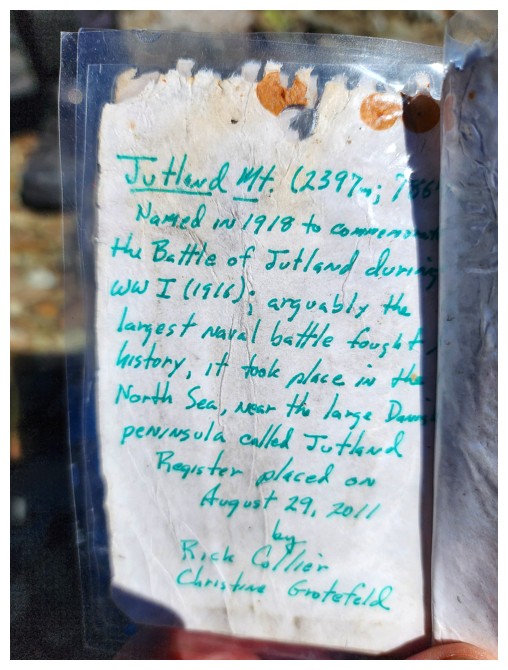
Good work Ephraim.
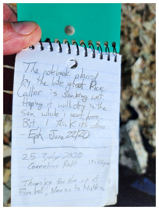
Every entry made by the legend Rick Collier is particularly interesting and poignant (photo by Dave)
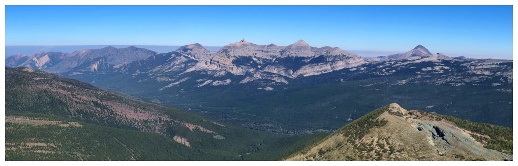
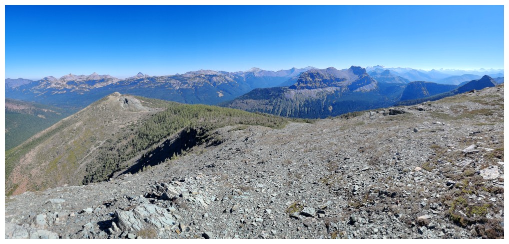
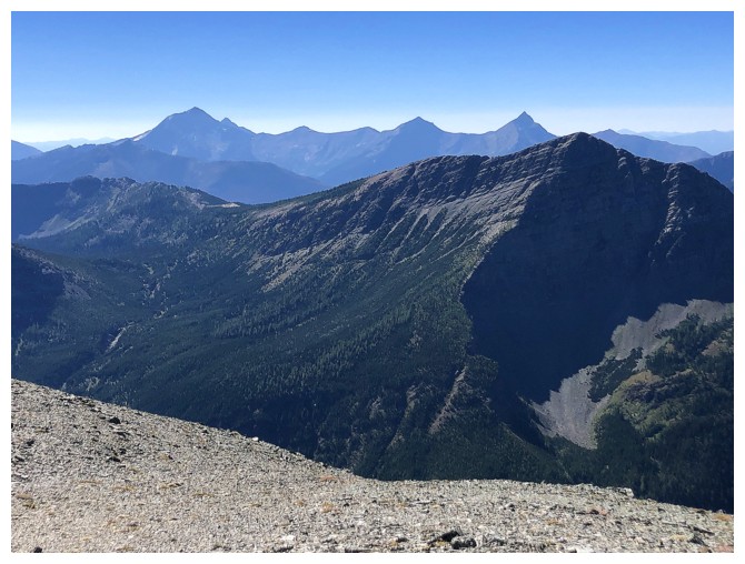
Summit pano to the east
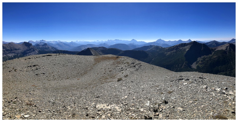
..to the south
...to the west
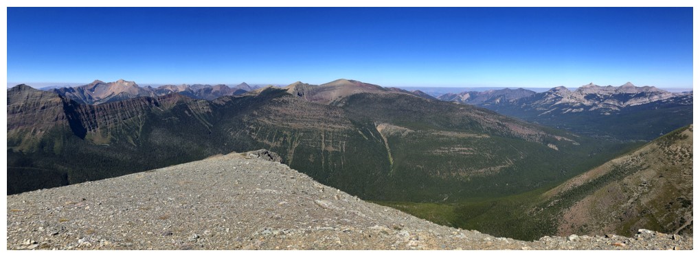
...to the north
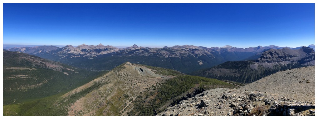
...in many directions
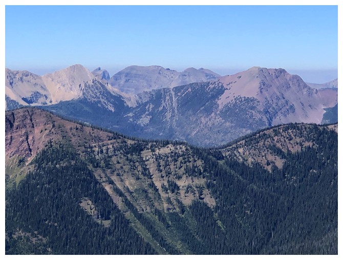
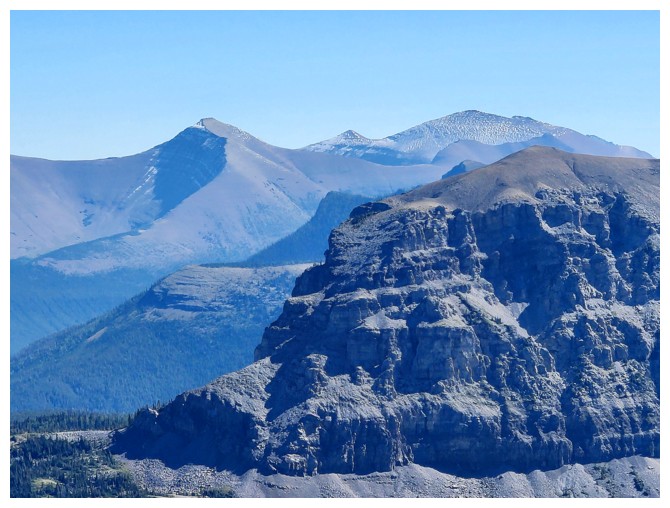
Speaking of favourites, left to right: Three Lakes Ridge, Tombstone, Middle Kootenay, and Rainy Ridge
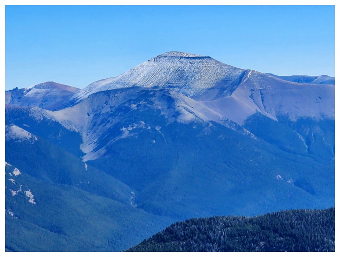
Mount Haig
The structure at the summit of Lys Ridge is just visible (photo by Dave)
Brandon heads off towards Mount Matkin (photo by Dave)
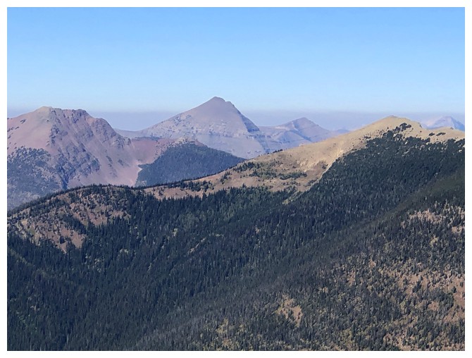
That huge chuck of rock missing from Jake Smith Peak is so intriguing
Close-up of Scarpe
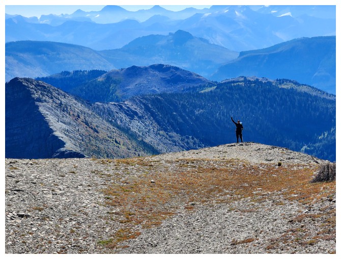
Brandon gives us a final wave (photo by Dave)
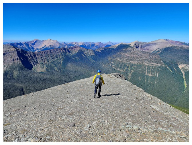
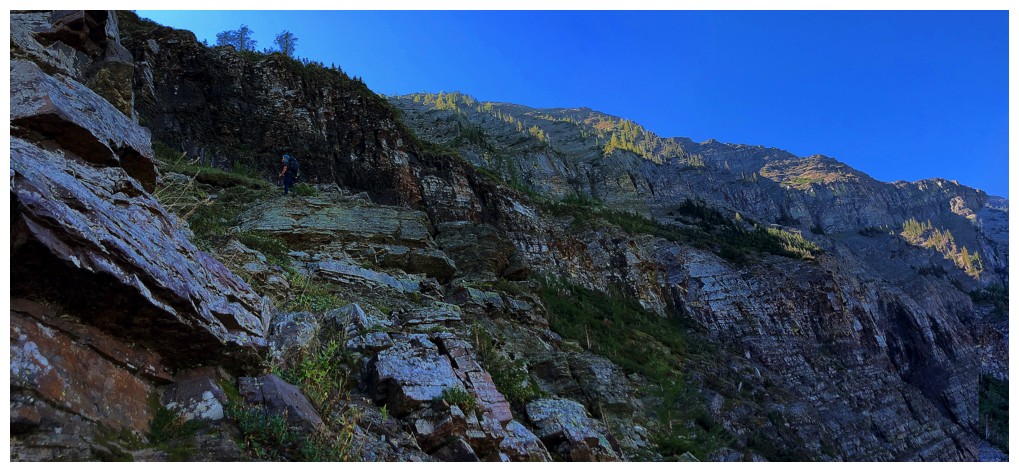
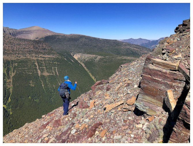
Starting down the north ridge (photo by Dave)
There are views of the lake throughout, but you have to go right to the edge to see it
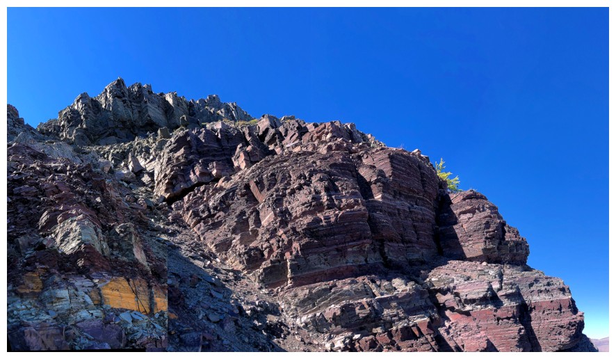
Beautiful colours
The north has already won me over because of the red rock
Lagging behind again. The south face of Jutland is fierce (photo by Dave).
And the ridge is gorgeous
Catching up (photo by Dave)
Only because Dave waited for me (photo by Dave)
We considered working our way down here, but opted for the seemingly easier route around the west side
Traversing back to the north side
Looking up the route we would have come down. Looks very cool (photo by Dave).
Me and La Coulotte - had a very interesting bike approach on that one
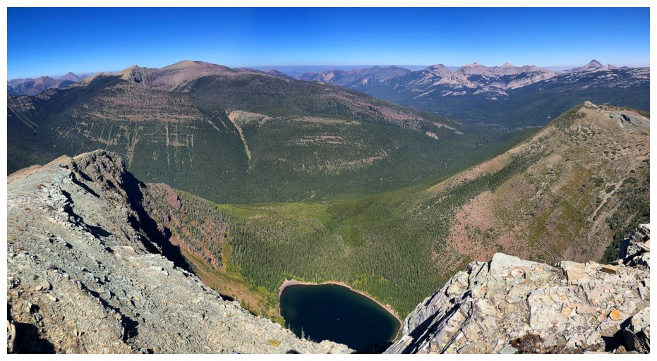
Reunited with our view of the lake (photo by Dave)
Looking up the north side (photo by Dave)
Steep descent (photo by Dave)
Dave looks for the least bushy way down
But eventually the bush is unavoidable (photo by Dave)
Back at the thing! (photo by Dave)
Another round of lake photos is mandatory at this point (photo by Dave)
Dave took the southeast side....
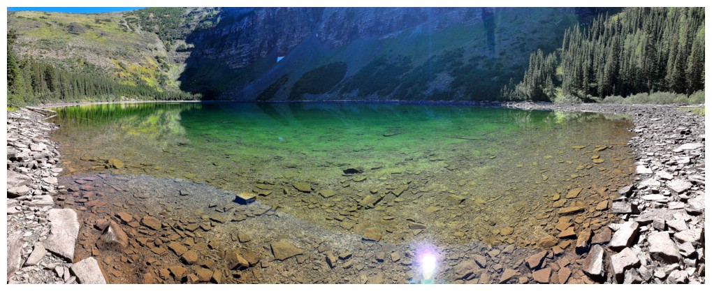
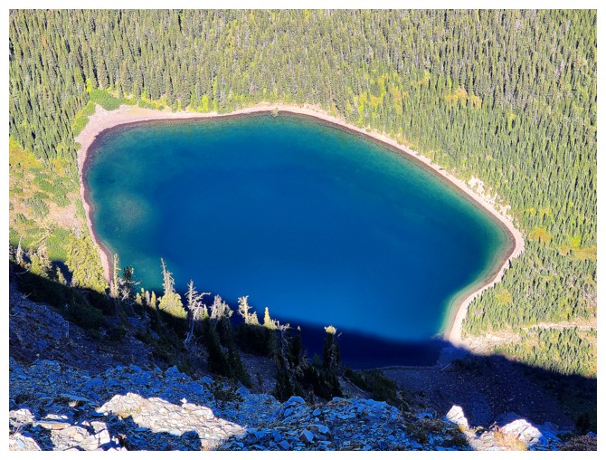
As advertised, emerald green waters (photo by Dave)
....I took the southwest side
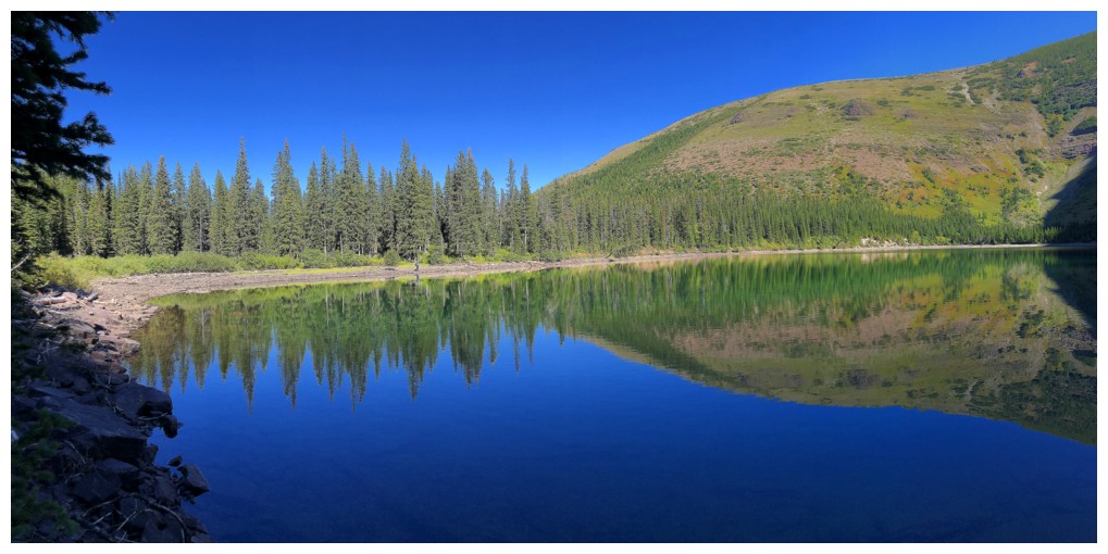
Hike the trail... (photo by Dave)
...over the river... (photo by Dave)
...under the tree...(photo by Dave)
...and bike back to the start
The End
LOG