Prairie Bluff XII
November 28, 2020
Mountain heights: 2258 m, 2131 m, 2137 m, 2042 m
Total elevation gain: 1167 m
Round-trip
time: 6:34
Scramble with Dave.
Although we had a more ambitious objective in
mind for the day, the morning cloud and more importantly a viciously, cold wind
put the kibosh on that plan. An eastern front, Castle outlier seemed to be
our only option and after some back and forth, we settled on an experimental
route up the mountain that just keeps giving and giving – Prairie Bluff!
 The goal of this trip would be a find a route
up the southeast side of the mountain. I had ascended the easy south ridge and
Mark and I had downclimbed a tricky route on the east face, so the southeast
edge seemed to be a good comprise.
The goal of this trip would be a find a route
up the southeast side of the mountain. I had ascended the easy south ridge and
Mark and I had downclimbed a tricky route on the east face, so the southeast
edge seemed to be a good comprise.
An easy and enjoyable hike to the base
preceded the start of the actual scrambling. Once heading up, we encountered
one terrific mountain scene after another, found several great scrambling
routes, and stayed completely out of the wind – totally awesome!
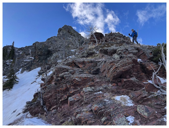
Of course, upon gaining the south ridge, we
spent the remainder of the ascent being brutalized by the wind. Due to the
severe cold, our summit stay was as short if not shorter than that of recent Mount
Yarrow II. When Dave suggested we tag one of the Prairie outliers, I was just
happy to leave the wind-ravaged summit and seek any kind of shelter.
 Surprisingly (and thankfully), the wind
became a non-issue shortly after leaving the top. We enjoyed a much warmer and
easy stroll over to Prairie Fire. En route, we passed another outlier that,
from the summit of Fire appeared to be slightly higher. Given that neither Dave
nor I had visited this highpoint, we added this peak to the agenda. Its
spacious summit was reached with minimal effort and by the time we arrived, the
cheeky nickname of “Prairie Oyster” had been agreed upon.
Surprisingly (and thankfully), the wind
became a non-issue shortly after leaving the top. We enjoyed a much warmer and
easy stroll over to Prairie Fire. En route, we passed another outlier that,
from the summit of Fire appeared to be slightly higher. Given that neither Dave
nor I had visited this highpoint, we added this peak to the agenda. Its
spacious summit was reached with minimal effort and by the time we arrived, the
cheeky nickname of “Prairie Oyster” had been agreed upon.
Time for another? Of course! Prairie Sky was
only a minor detour away and neither Dave nor I could resist. Sky was
especially nostalgic, as I had not stood on its summit since Mark and I had
ascended the south face of the peak in 2008.
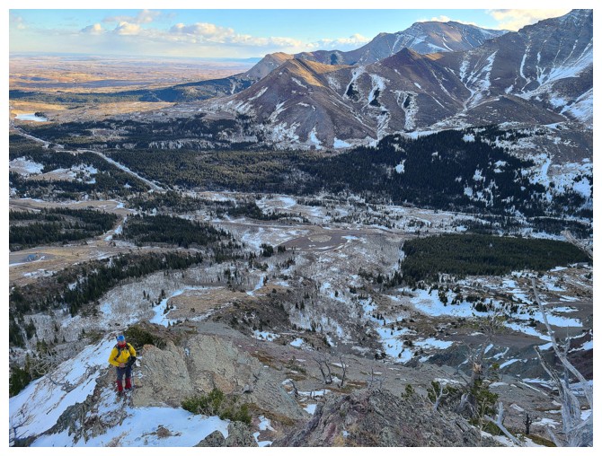
For descent, we chose a direct route down the
southeast side of Sky. Dave had taken a similar route down on a previous trip,
but a little farther north. This time we
would attempt to follow the ridge as much as possible. To our collective
surprise, a relatively easy route was quickly revealed. To my even bigger surprise,
it was appeared possible to descend the east ridge of Sky all the way to the
valley bottom. Mark and I had ascended the southeast face but eventually were
forced onto the southeast ridge. At that time, we didn’t think the east ridge
would offer an easy way up – we were wrong. Dave and I split up here, Dave
going more north, trending towards the hiking trail at the base of Prairie Fire,
and I continued down the east ridge of Prairie Sky. Eventually this required a
traverse across snowy terrain to rejoin Dave, but the little detour totally
inspired me to return to explore this side of Sky at a later date. A little route-finding
and some cross-country travel and we were able to rejoin our ascent route and finish
the trip as started.
Did Prairie Bluff give again – of course it
did! Another great day on the most “interesting” mountain in The Castle.
Click HERE to see Dave's terrific report.

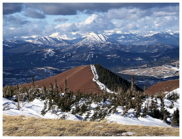
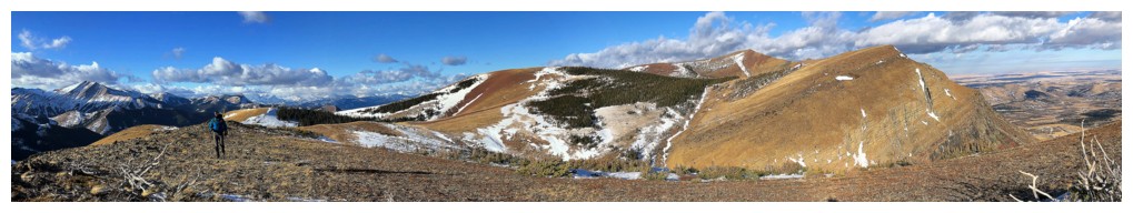
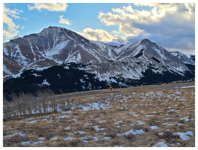
Near the start. Prairie Bluff at the right and Prairie Fire at the left (photo by Dave).
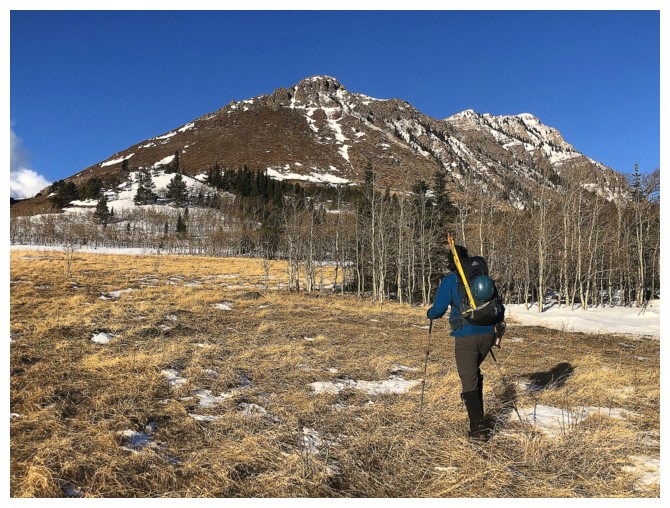
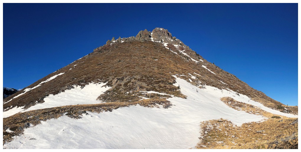
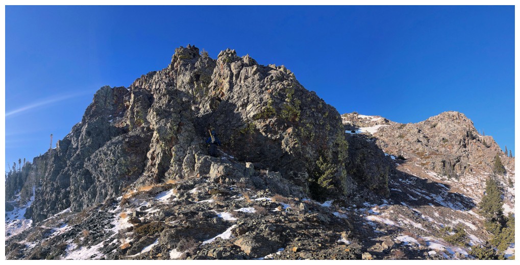
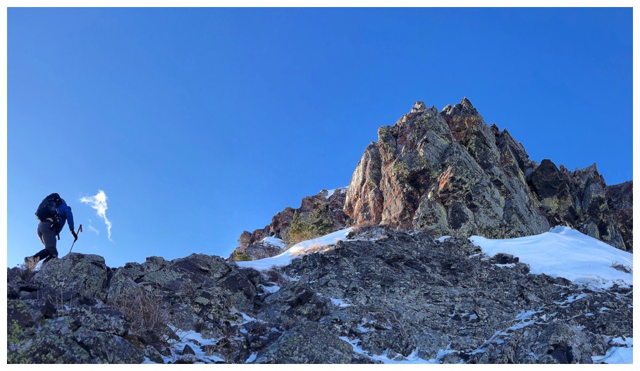
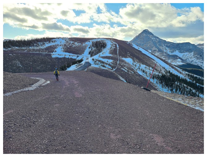
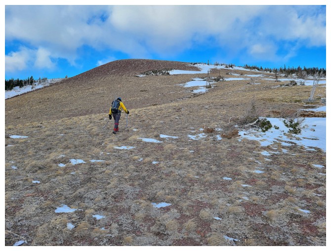
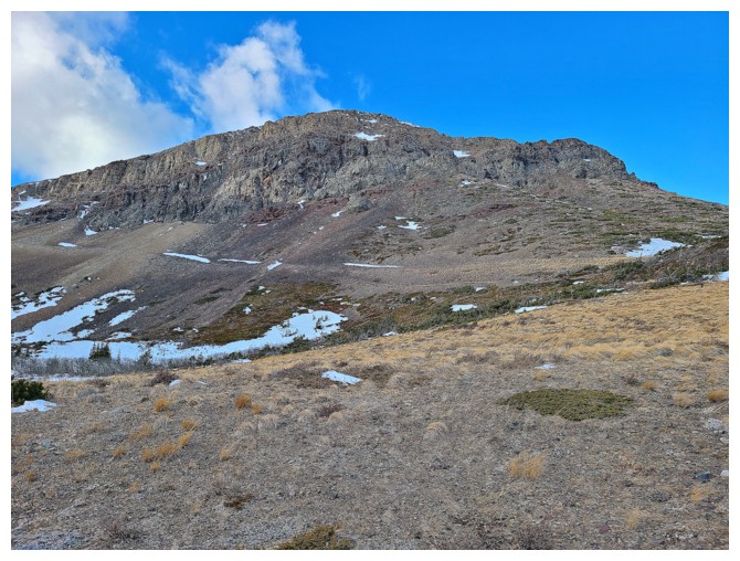
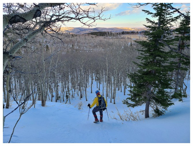
The length of Prairie Bluff before us
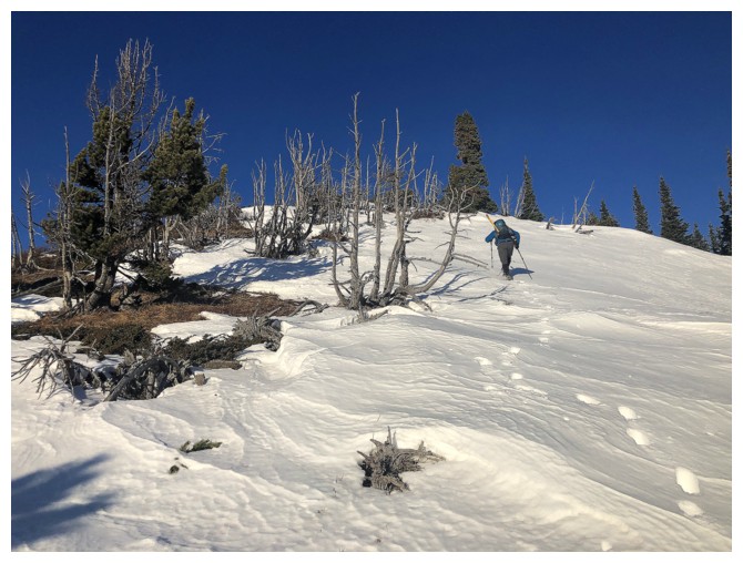
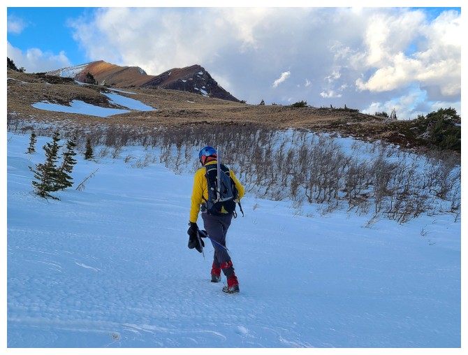
Random snow patch to ascend, but Dave is always up for trail-breaking!
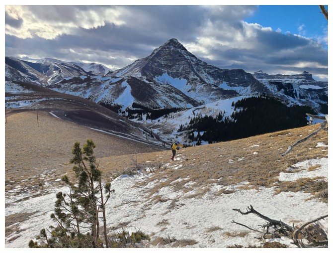
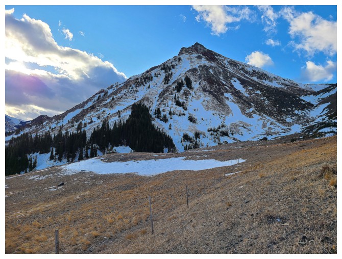
Prairie Fire to the left. Lots of cool routes up that one and lots more to explore - specifically right up the face in front
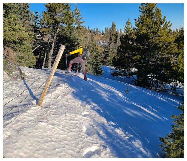
Climbing over barbed wire fences is super easy when the snow has piled up on either side (photo by Dave)
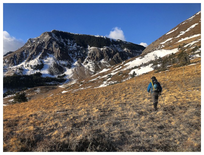
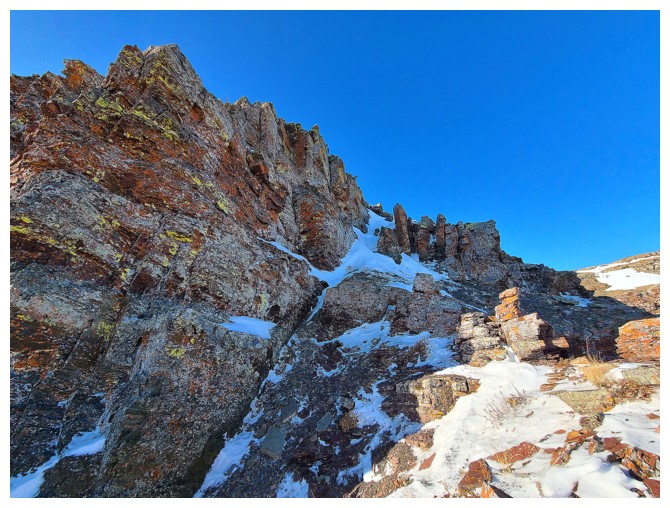
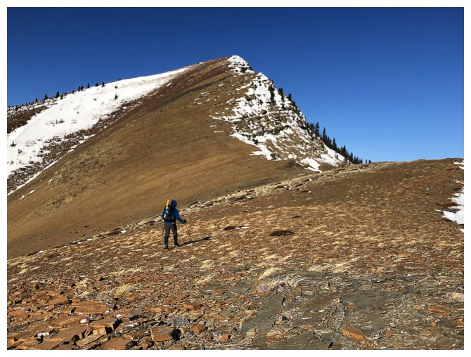
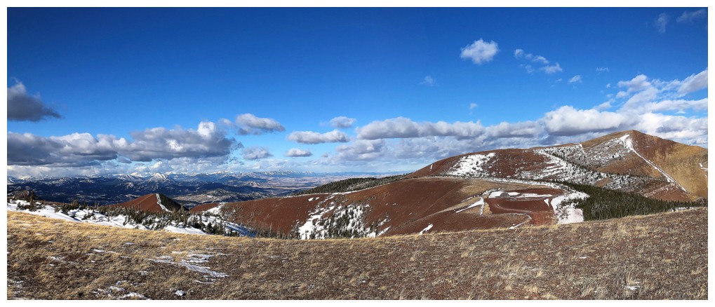
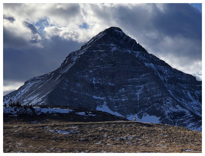
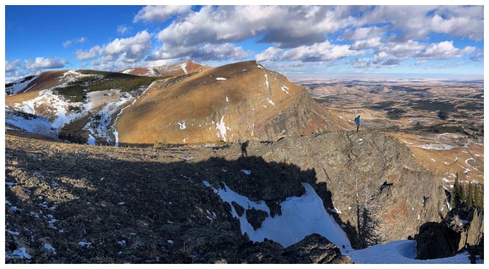
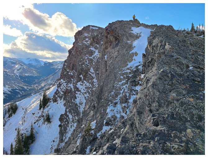
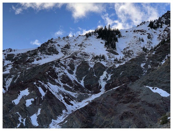
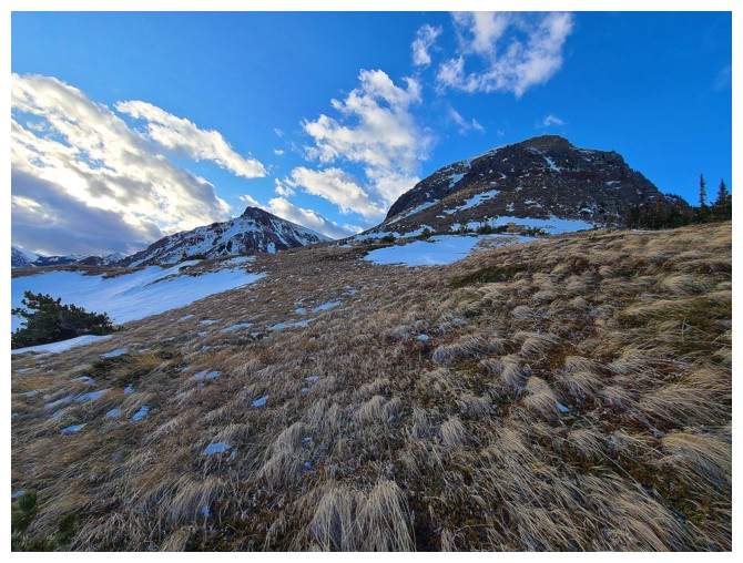
The south ridge of Bluff at the left and the southeast face in front. We would go over to the right and then ascend from there.
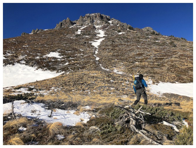
Traversing over to the southeast side of the mountain
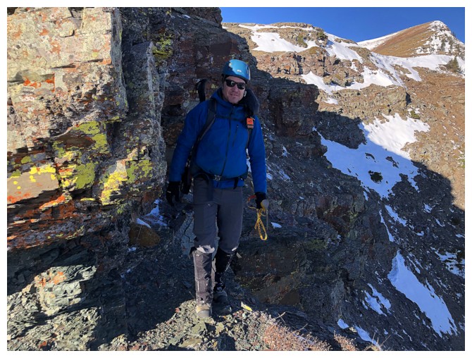
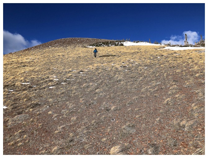
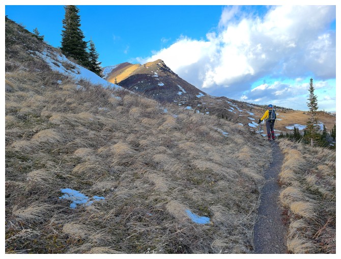
Ready to go up
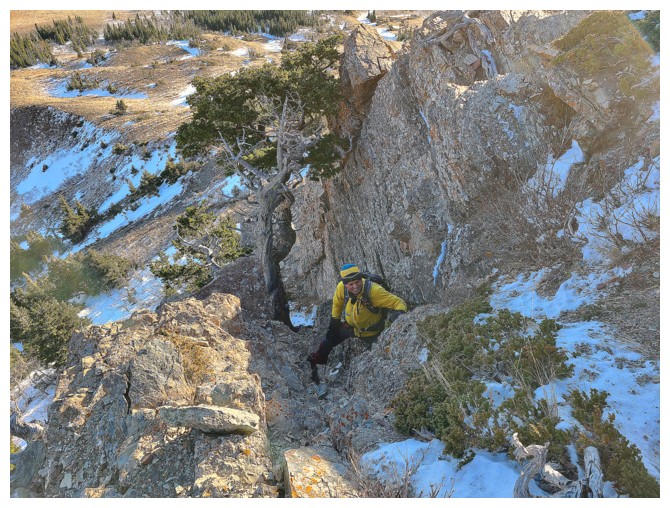
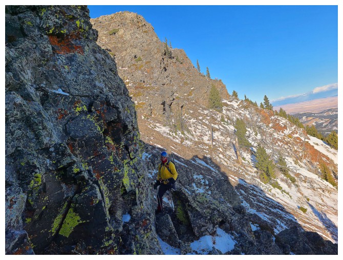
Dave leads the way up increasingly steep terrain
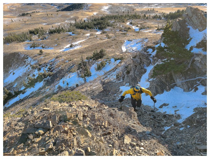
I follow (photo by Dave)
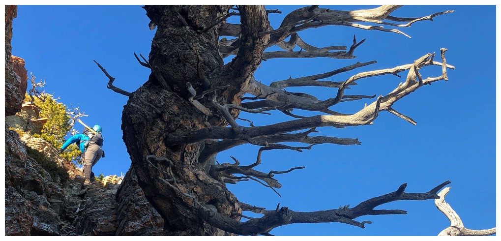
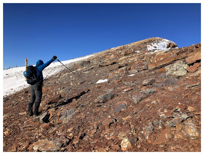
The gully at the left offered a straightforward route up, but Dave spotted something far more interesting at the right
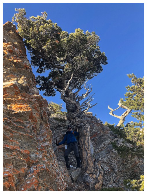
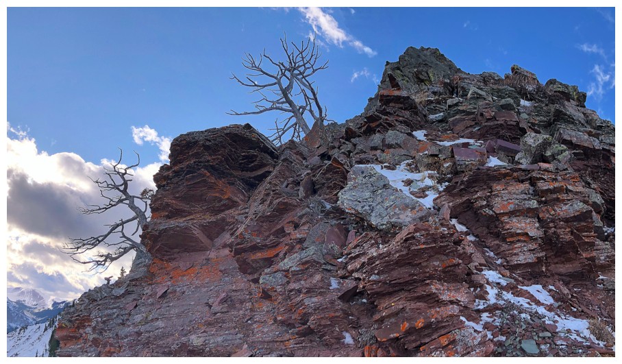
Super find Dave! This limber pine tree was amazing.
I love to photograph cool trees, but this one received way more photo attention than all the others before it
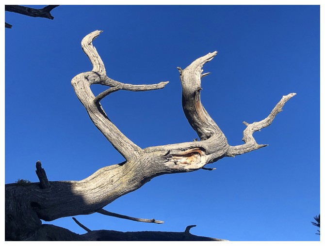
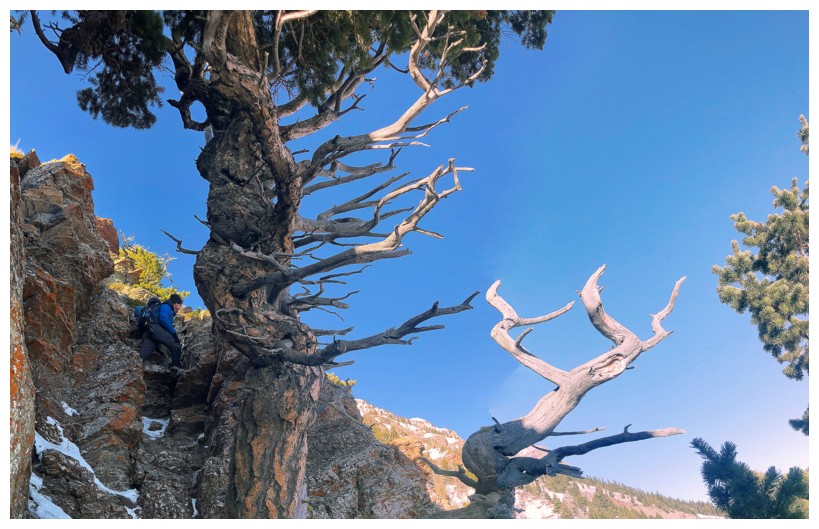
Dave looks down, as I pass the tree (photo by Dave)
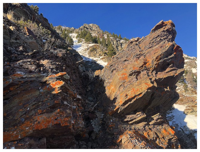
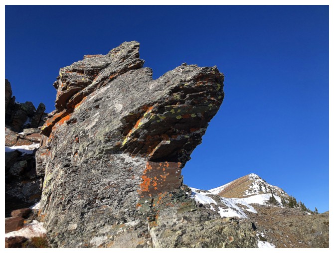
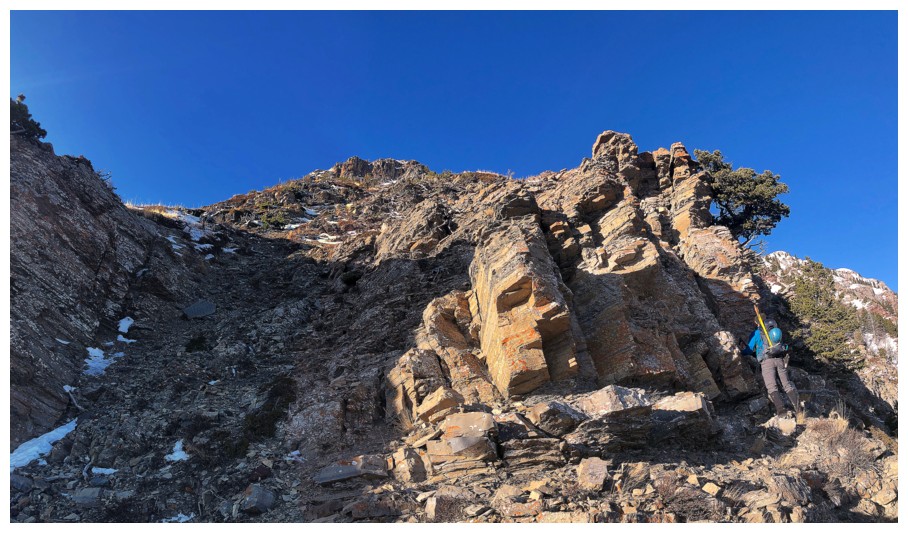
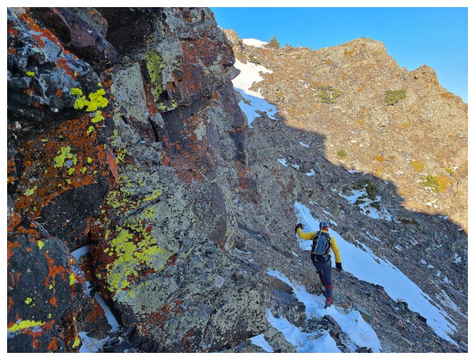
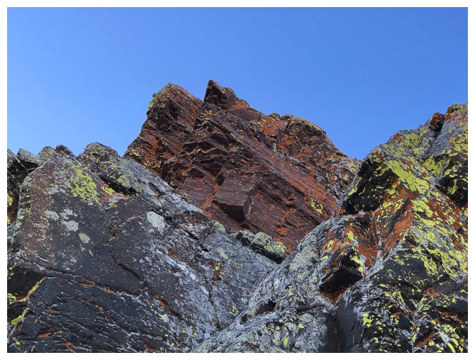
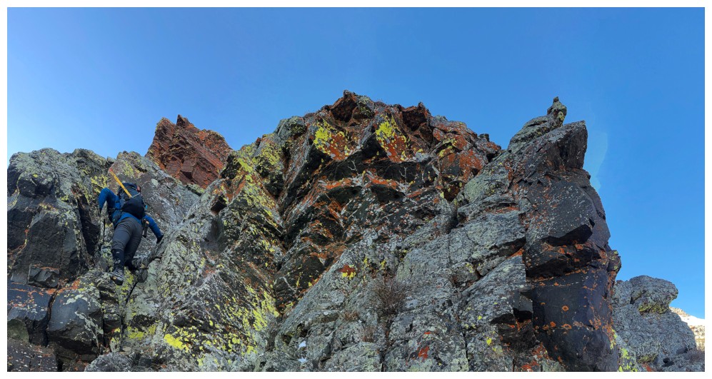
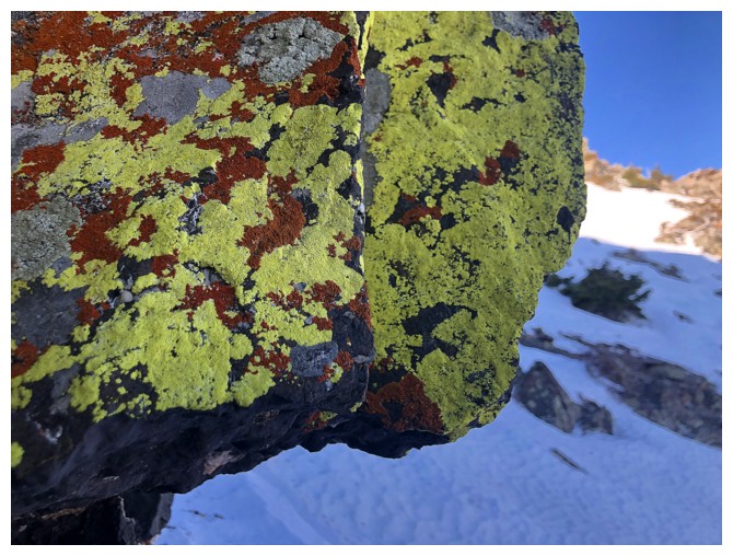
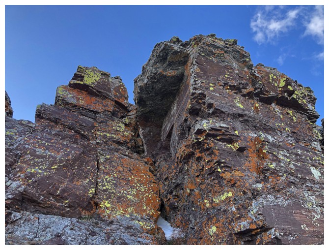
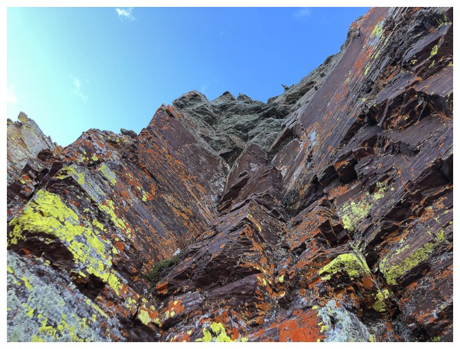
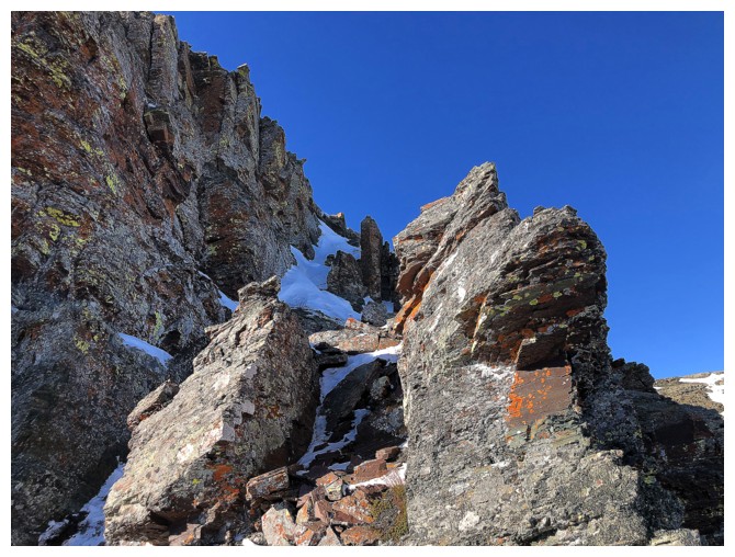
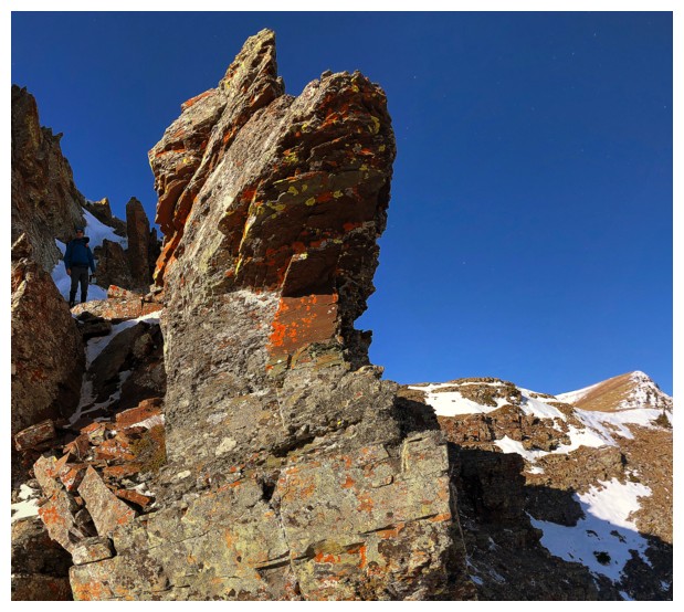
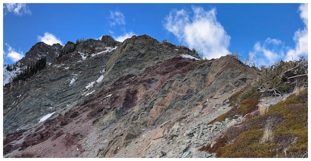
Needless to say, the ascent route is littered not only with cool trees but also colourful rock
Easy but fun scrambling (photo by Dave)
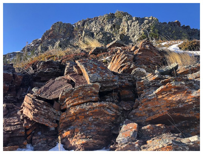
And more terrific rock to ogle at
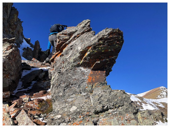
Dave explores a beautiful lichen-covered rock band
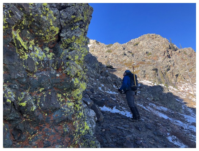
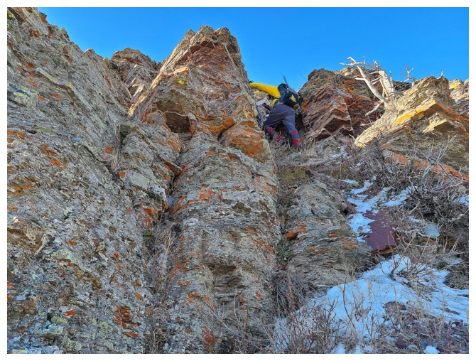
What has Dave seen?
....a potential route up through the rock band

A few delicate stemming moves were required, but Dave was up to the task
I
was up to the task of walking around the rock band and taking the easy
route up (photo by Dave, before he went up the rock band)
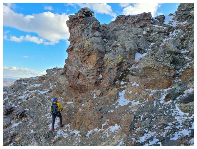
Dave finds a cool spot amid the rock
And another one!
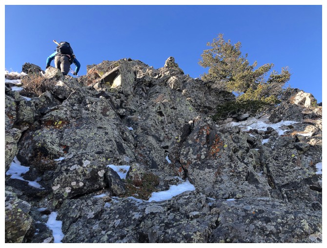
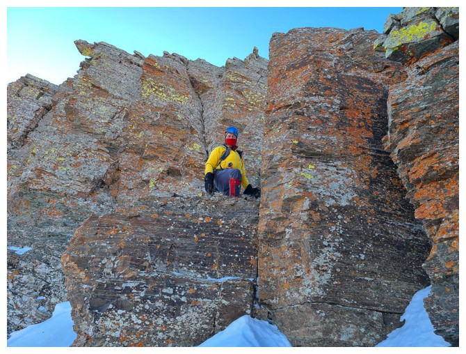
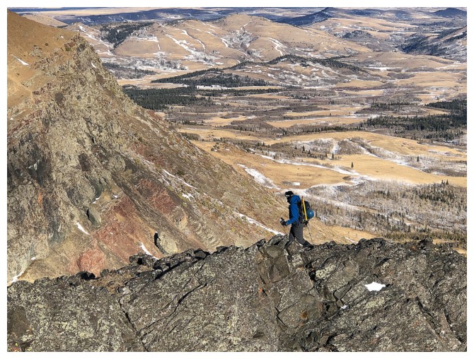
The fun scrambling continues
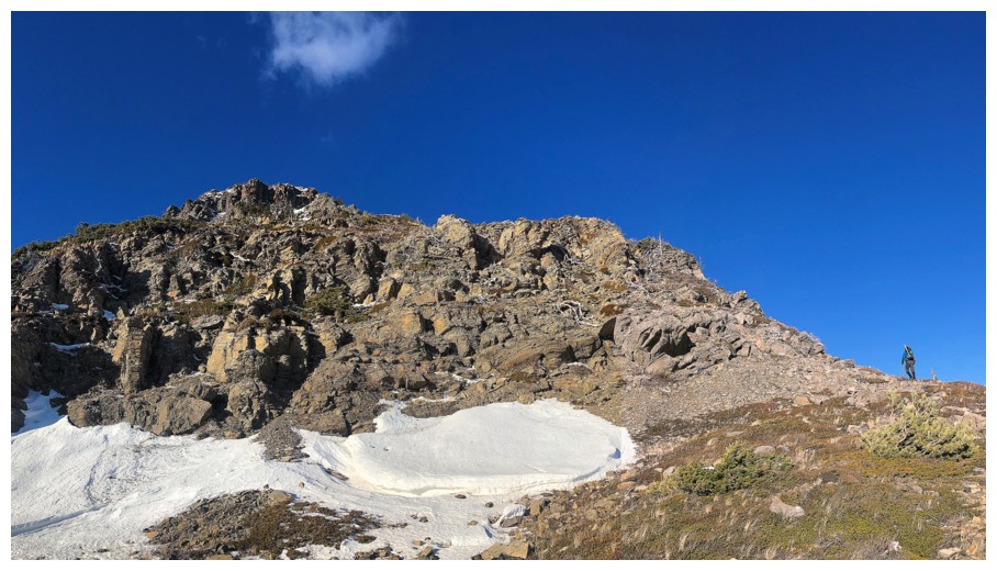
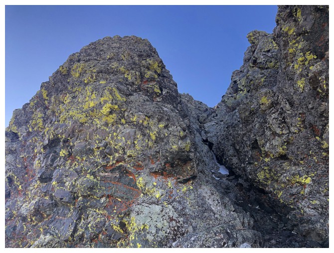
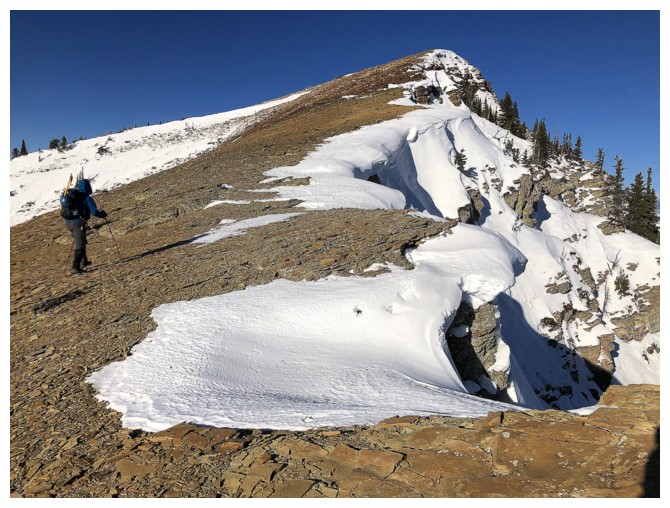
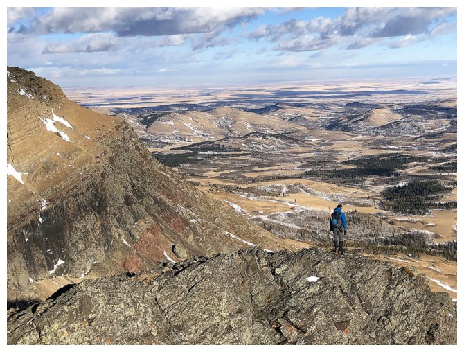
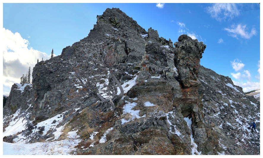
Dave approaches a significant rock band before reaching the south ridge
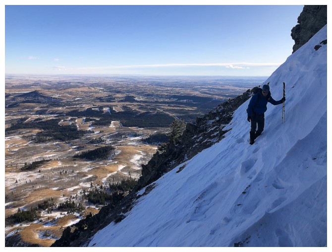
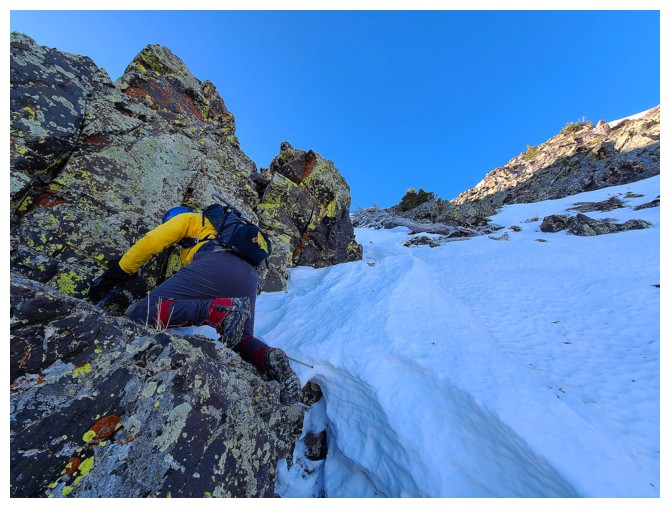
We were both forced to traverse this sketchy snow slope. Thankfully the snow was easy to step-kick into.
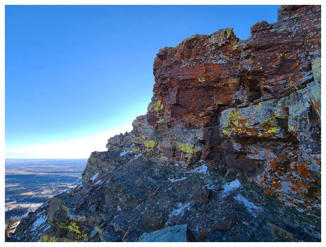
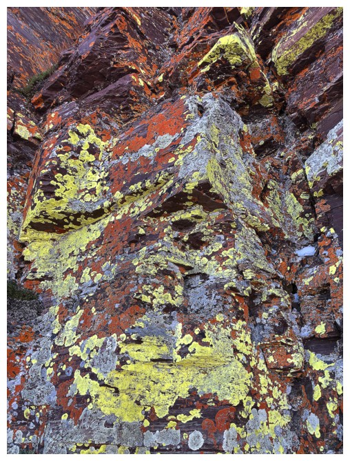
More traversing around more sweet rock (photo by Dave)
Speaking of sweet rock! Unfortunately at this time of the year the Sun will never shine on this rock.
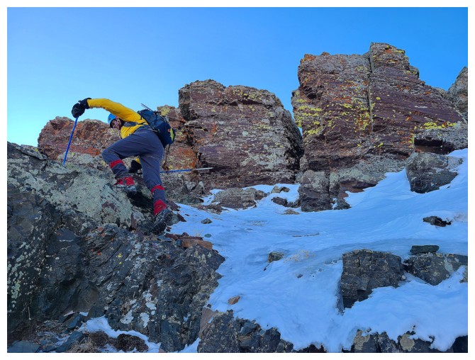
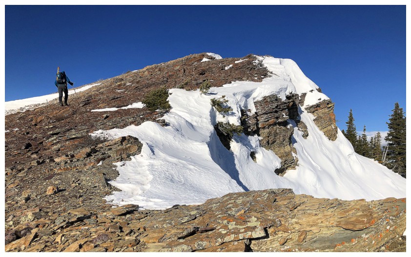
Adventurous Dave attempts another tricky route. It probably went but he played it safe and backed down.
Demonstrating my crawling technique! (photo by Dave)
... it's good for getting lichen close-ups though
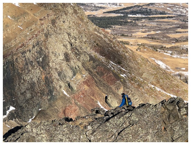
Working through more great terrain (photo by Dave)
I'm definitely returning to this spot in late Spring, when the Sun reaches this corner of the mountain
This corner too (photo by Dave)
Irresistible to explore (photo by Dave)
Even if it means moving away from the summit (behind)
"You're going the wrong way" is often worth it in The Castle
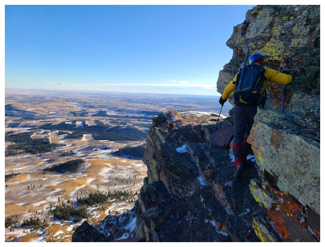
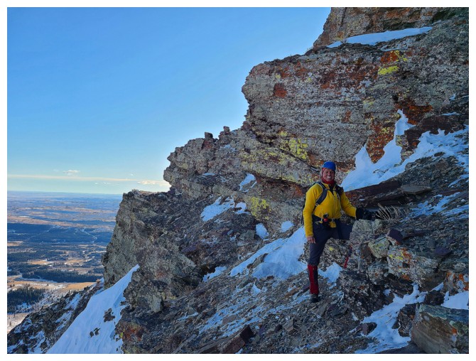
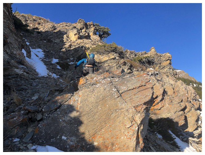
A few exposed steps are required (photo by Dave)
Dave navigates the narrow ledge
What's next? (photo by Dave)
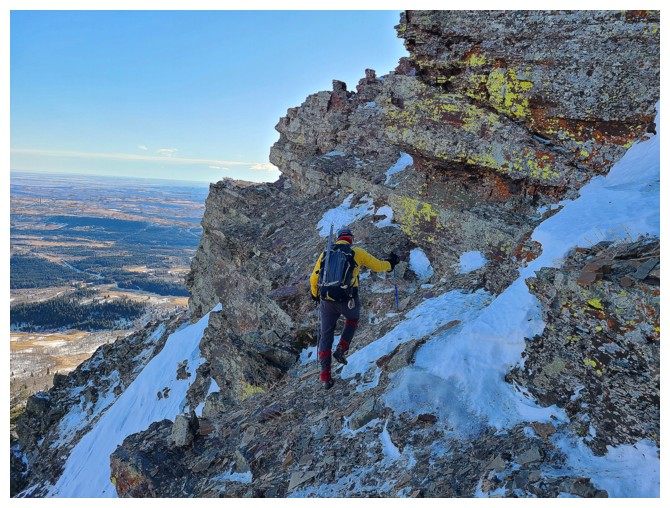
.... this sweet terrain!
Dave tackles the next section with fervour
Dave's view above the rock step (photo by Dave)
My turn while Dave waits
The great terrain never stops on this route (photo by Dave)
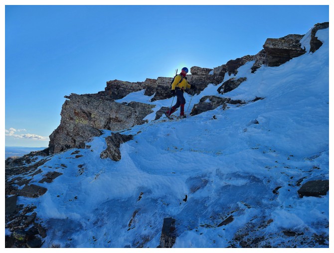
Staying below the ridge to delay the Armageddon that waits us on the ridge! (photo by Dave)
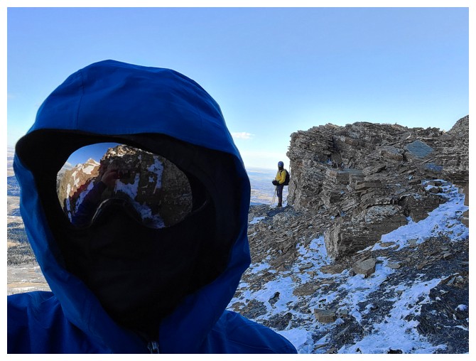
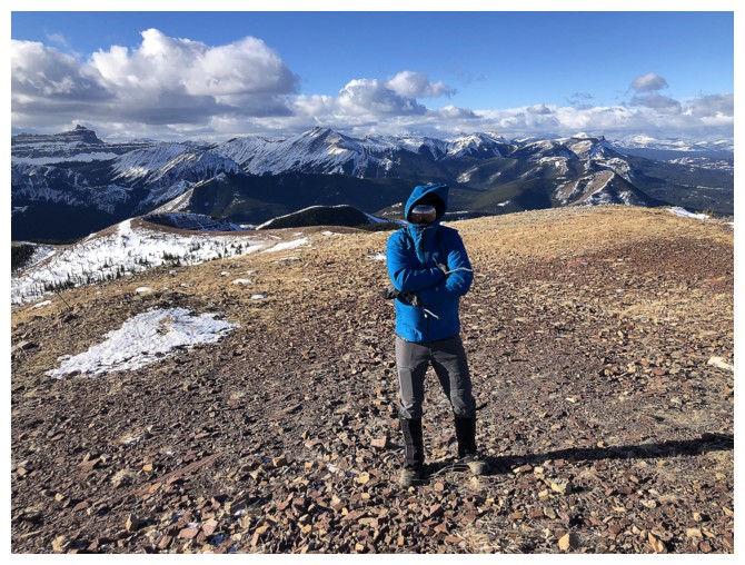
Good selfie by Dave before we experience -80 wind chill (total exaggeration but that's what it felt like!) (photo by Dave)
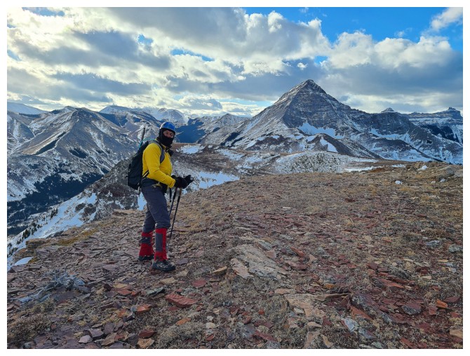
Here we go - completing the ascent in viciously cold conditions.
The cold didn't stop me from exposing my hands to snap a few photos, but I paid for it!
My frozen hands - "The bill comes due"
Dave's hiking pole is not immune to the wind
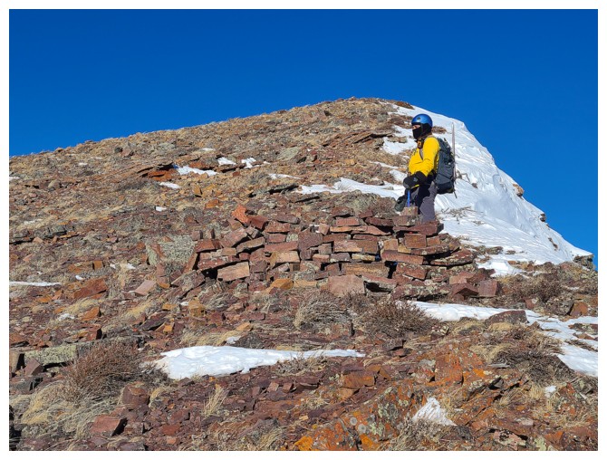
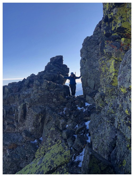
Just below the summit, a small shelter has been built (photo by Dave)
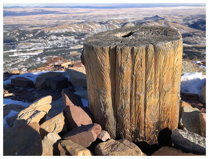
The only mountain in the Rockies that has a summit tree stump instead of a summit cairn
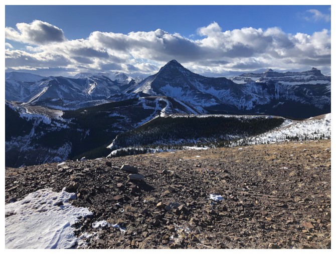
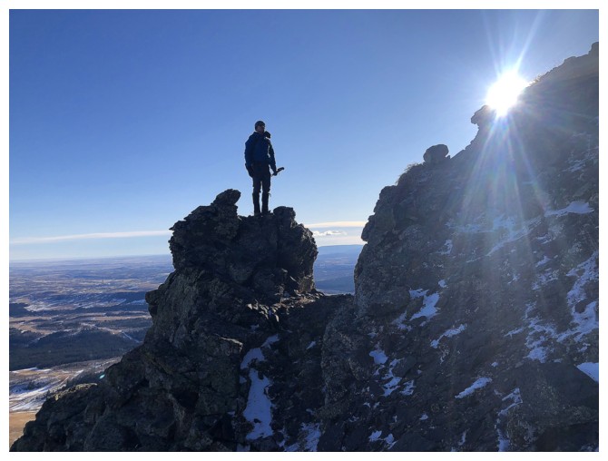
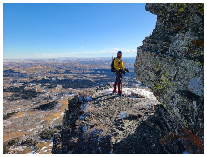
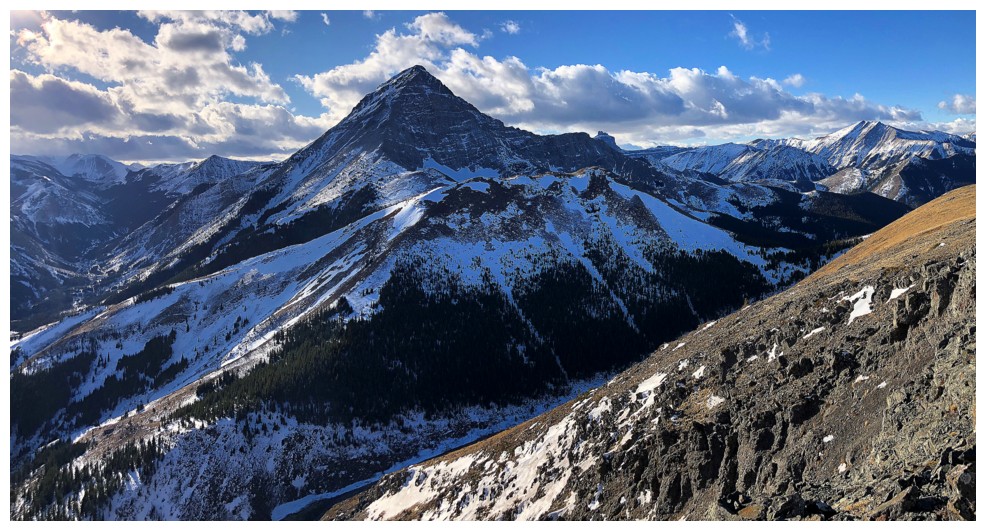
Like the rock on the ascent route, the summit view to Victoria Peak is also irresistible
Mount Gladstone is less distinctive, but it can be a wild ascent (photo by Dave)
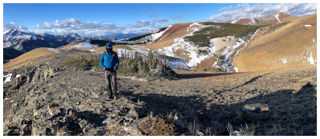
Dave trying to stay warm
Even fully wrapped up I was pretty cold at this point (photo by Dave)
As soon as Dave said "go", I was bombing down the mountain to escape the cold (photo by Dave)

Dave didn't lollygag either
On the gas road (photo by Dave)
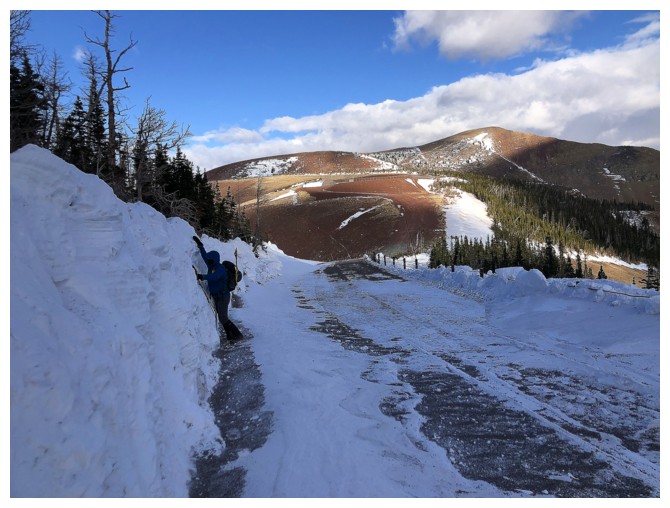
Dave checks the height of the plowed snow. It will get much, much higher by season's end
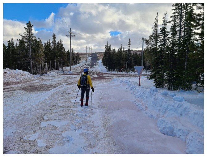
Yielding at the Yield sign - 38 years of driving and I'm not about to stop following the rules of the road! (photo by Dave)
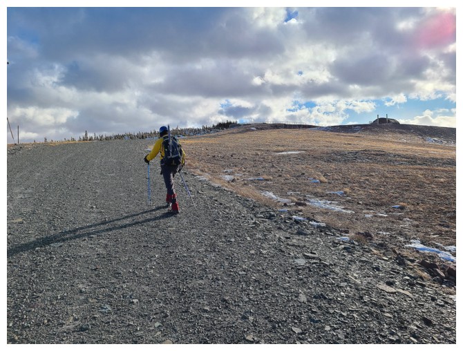
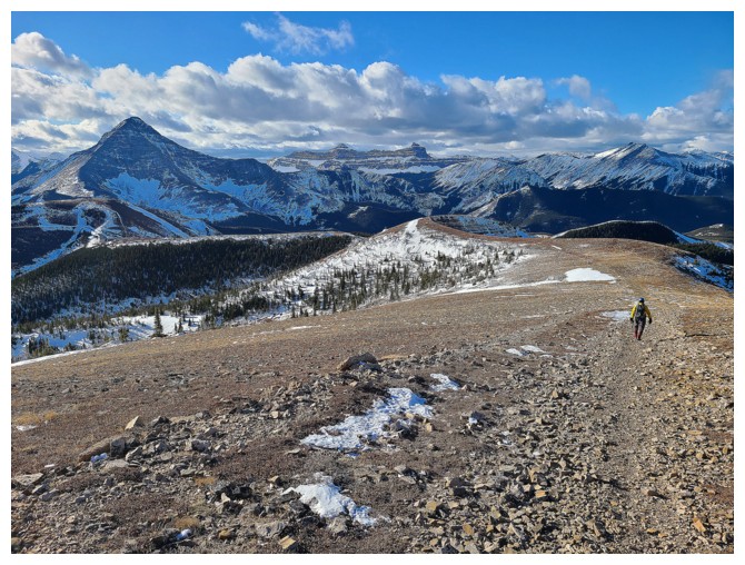
Easy walk to the next gas well, from which the summit of Fire is only a short distance away (photo by Dave)
At the summit of Prairie Fire, again enjoying the view of Victoria Peak (photo by Dave)
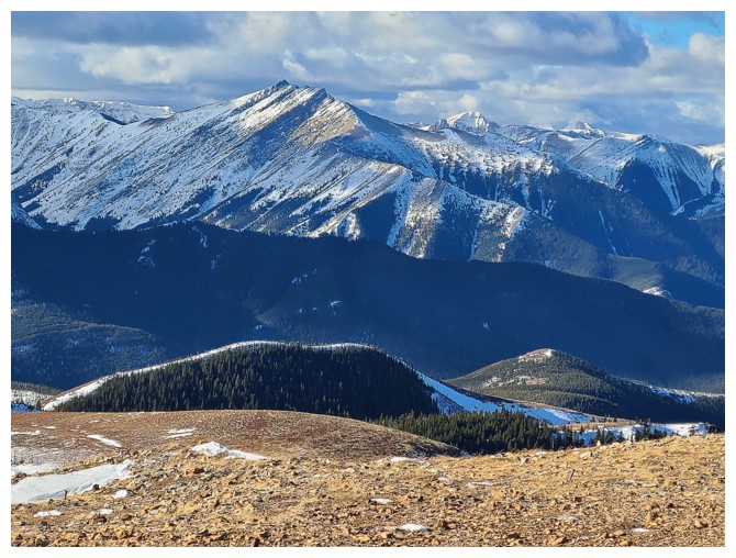
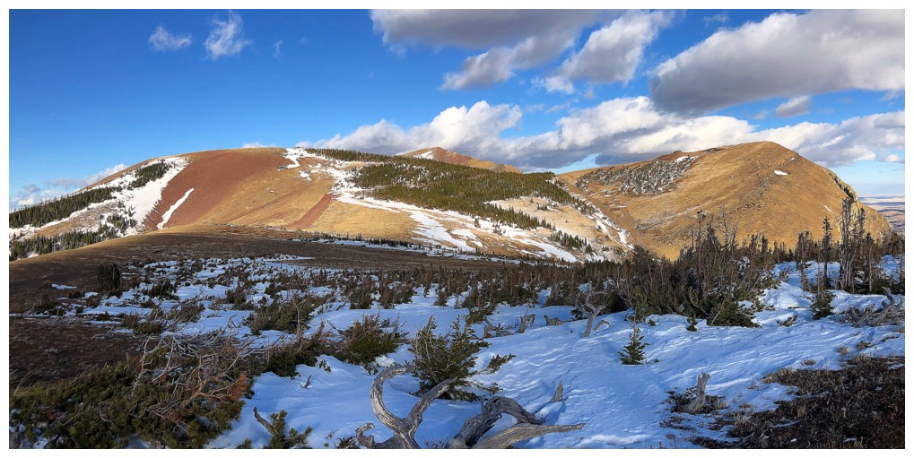
One of the many beautiful ridges leading to the summit of Prairie Bluff. Mark and I ascended it in 2010.
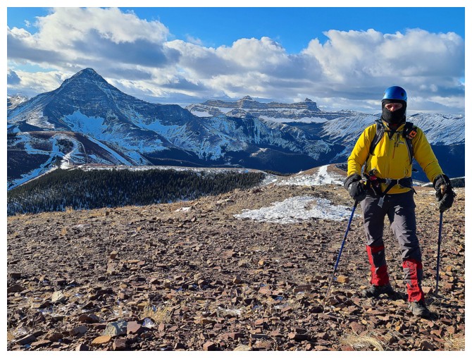
Dave on Fire - pun intended!
Leaving Fire to check out Oyster (photo by Dave)
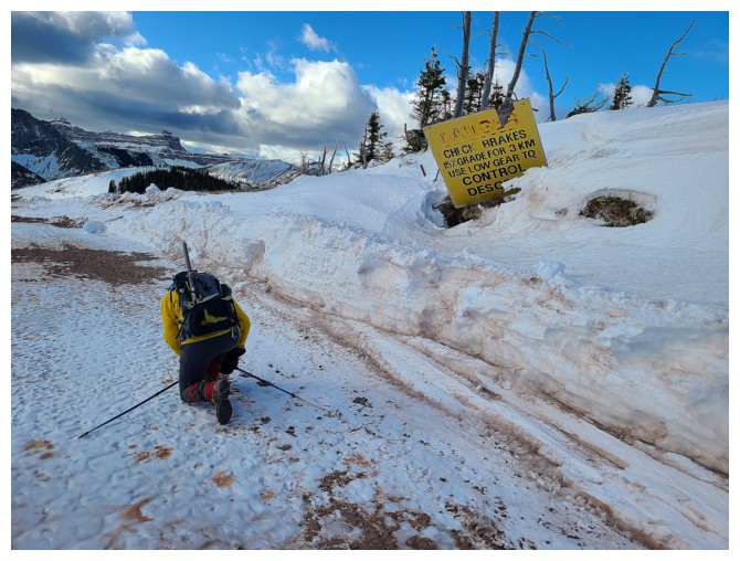
Still following the rules as I check my brakes - the pads are down to 1.5 mm - damn it! (photo by Dave)
Prairie Oyster looks easy and it is (photo by Dave)
Still amazed by Victoria (photo by Dave)
The summit of Oyster is flat and expansive (photo by Dave)

But it does sport a great view to the west
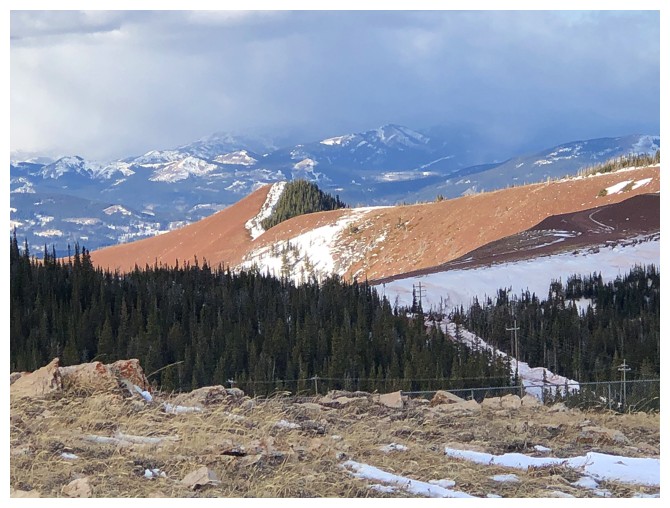
That red ridge again
Much clearer skies persist to the northeast
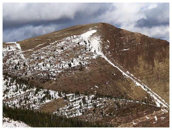
Although it looks impossibly steep from this angle, the south face of
Prairie Bluff (right of the snowy ridge) provides an easy descent route

Descending Oyster. Prairie Sky at the left (photo by Dave).
 Dave descends
 Big fail on this
photo. The focus was supposed to be the ram just right of lower centre.
Victoria Peak is clearly visible, though!
Big fail on this
photo. The focus was supposed to be the ram just right of lower centre.
Victoria Peak is clearly visible, though!
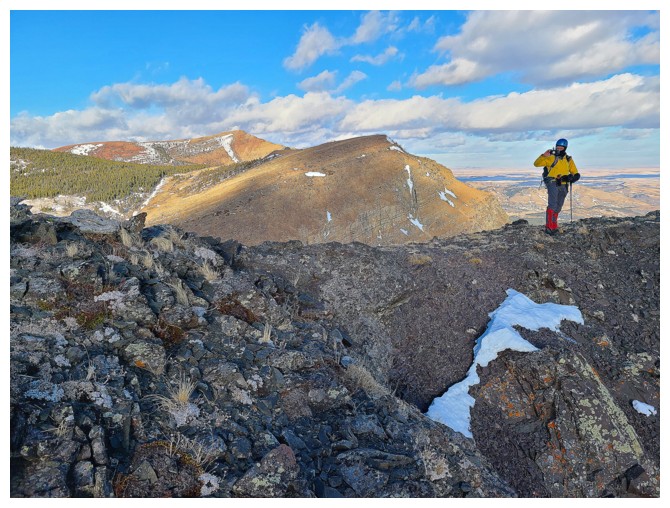
 Left to right: Oyster, Bluff, and Fire (photo by Dave)
 Sky straight ahead, Fire to the left (photo by Dave)
 We traded leads for this ascent, and most of the day for that matter, as photo opps were innumerable (photo by Dave)
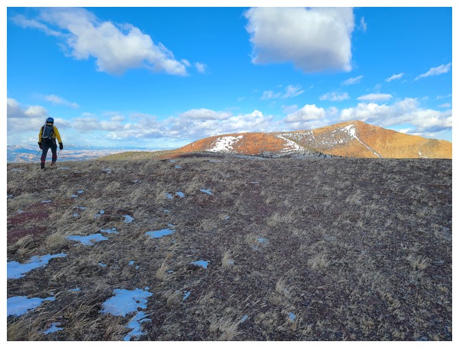
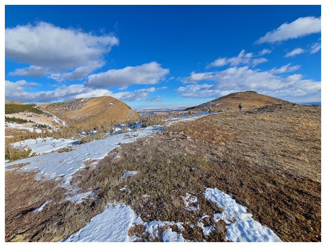
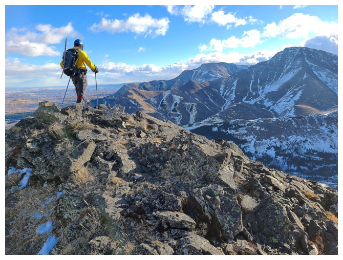
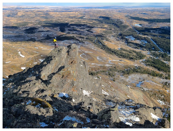
 Dave is almost at the summit. The three other summits to the right
.
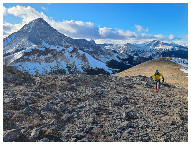
 Nostalgic return to Prairie Sky. Pincher Ridge at the far right - lots of amazing routes up that one and its outliers (photo by Dave).
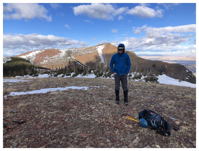
Best view of Victoria Peak of the day
Lounging around on Sky (photo by Dave)

Summit view to the south includes Drywood Mountain at the far left
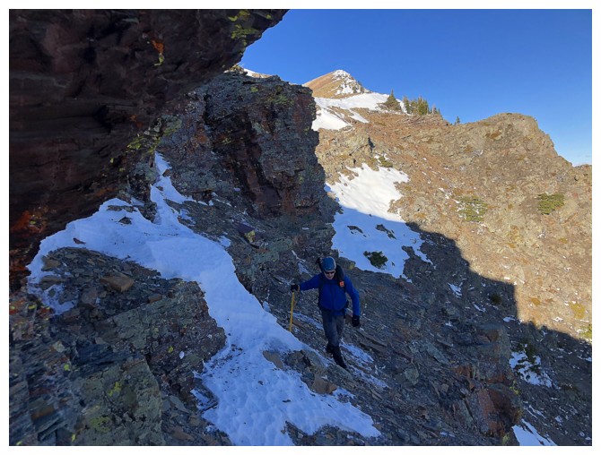
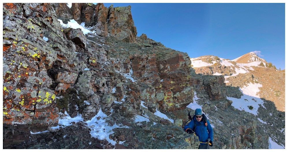
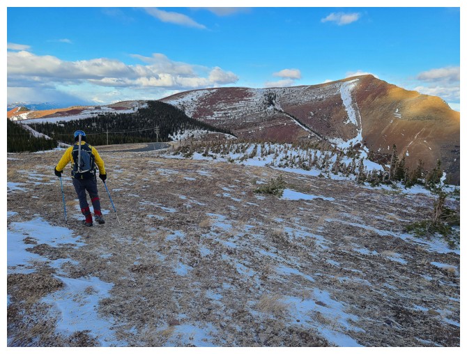
Dave checks out the start of the east ridge descent route
A little montage of Dave heading down the ridge
Dave looks back up at me atop the ridge (photo by Dave)
My turn to look for a route down (photo by Dave)

Finding the easiest route down the steep north side of Sky (photo by Dave)
Of course this cool rock band distracted me! (photo by Dave)
Looking back up the east ridge
No shortage of red argillite on this ridge
Dave comes over to check it out
Where Dave and I split up (photo by Dave)
Definitely want to return to this point on a sunny day
The south side of Sky that Mark and I ascended
Dave's view of Prairie Fire. There is an awesome route up this one, just right of centre (photo by Dave).
Dave's view of Prairie Sky (photo by Dave)
Traversing north to meet up with Dave. That's him just right of centre.
Dave spots me hiking towards him. Dave and company discovered an awesome route up the outlier of Pincher Ridge at the right (photo by Dave).
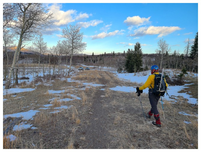
Hiking back to the start of our ascent route (photo by Dave)
Looking back at Sky and Fire. I like the way the orientation of the
grass gives the feeling of movement to the photo (photo by Dave).
Stumbled upon this excellent trail, but eventually it veered off up the valley (photo by Dave)
Hoping the snow is supportive - it got mixed reviews (photo by Dave)
Last 100 m of an outstanding day (photo by Dave)
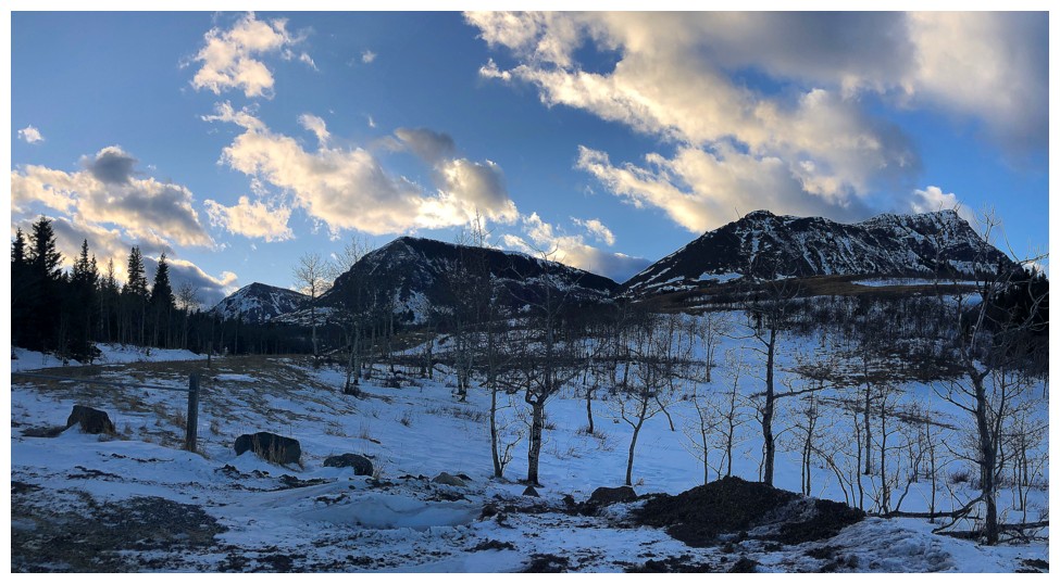
Parting look at 3 of the 4 summits of the day. Left to right: Sky, Fire, Bluff
The End
LOG