February 1, 2024
Mountain height: 2195 m
Elevation gain:
545 m
Ascent time: 3:40
Descent time: 1:20
Solo scramble.
I’m really Clutching at Straws by
giving this peak (which really isn’t a peak) a name, but that has never stopped
me in the past, so why should it now?!
With a late
start time near noon, I decided that another run up Rowe East was a great way
to kill a few hours. An ascent, a month earlier, had surpassed expectations by
1.6 kilometres (a mile), it’s a short trip, and snow conditions (that is, a
lack of it) were favourable for minimal to no avalanche activity.
Following the
route I used on December 30 did not last long. About 5 minutes in, I decided to
try an ascending route on the southeast side of the peak. The line would
traverse alongside several significant rock bands, but I thought there might be
a weakness to get up to the ridge at the end of the bands.
And
there was, but again, not really!
I more or less traversed up and alongside the rock band until it
disappeared at the far east end of Rowe East. Getting there required
strenuous and at times challenging travel. When
snow was encountered it was either deep and unsupportive or rock hard.
Eventually the crampons and an ice axe came out.
I topped out on
the ridge a few hundred meters east of the summit of Rowe East. Unfortunately,
following the ridge west to the top looked near impossible in its present
condition. I settled for a short break and then returned to the parking lot via
a more direct route.
Not exactly what I planned, but a good day of exploration on a minor peak worthy of exploration.
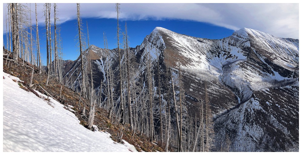
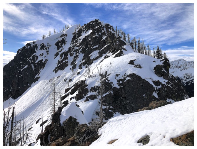
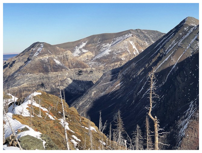
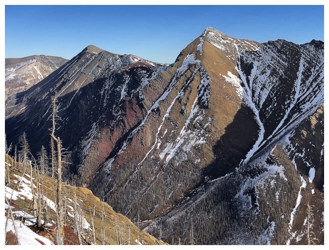
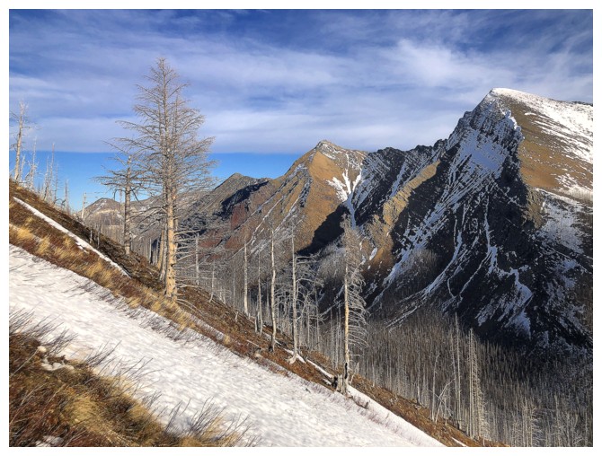
Mount Rowe just left of centre. The route to Rowe East follows the
ridge going right. I ended up going right, but below the rock at the
right.
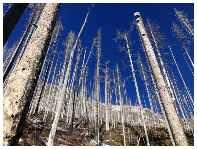
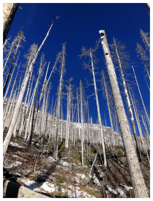
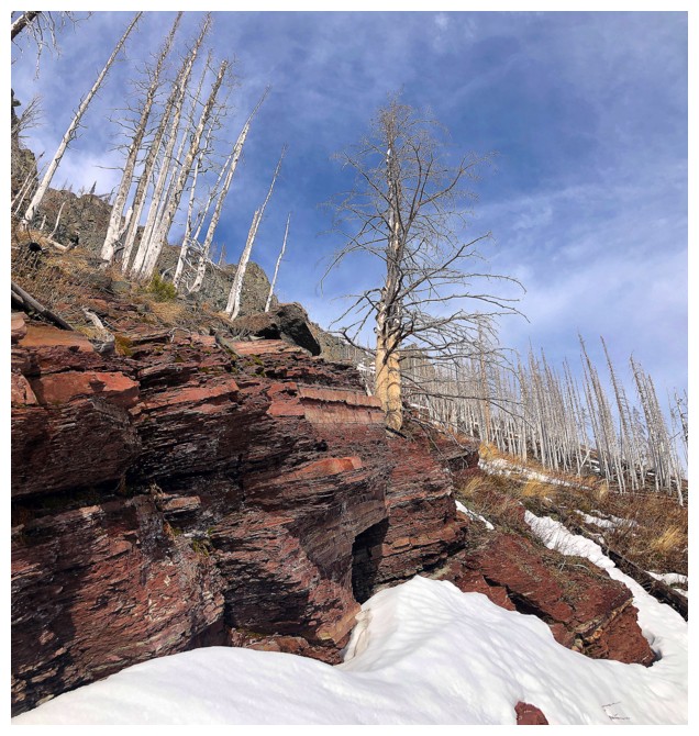
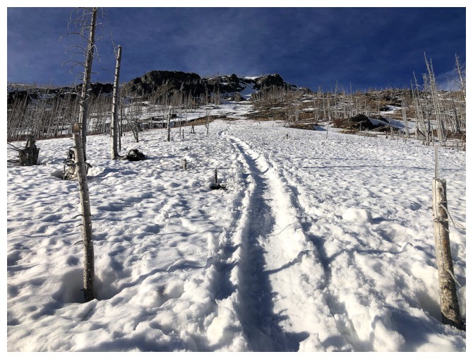
Yet again taking advantage of the easy travel through treed areas affected by the 2017 Kenow fire - it won't last!
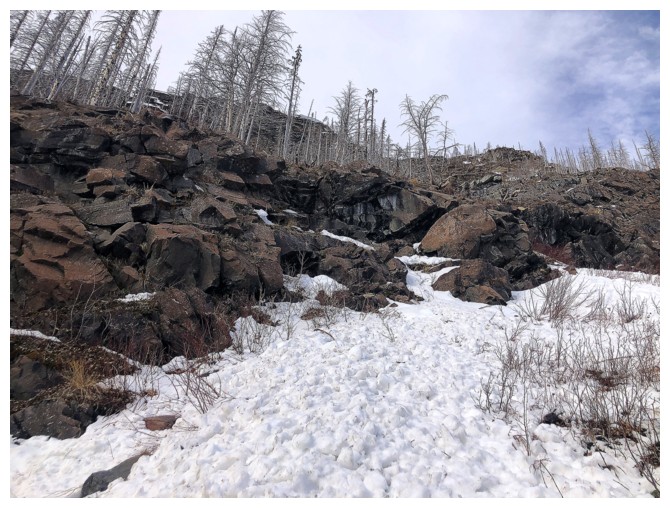
The rock band I'm going to traverse under
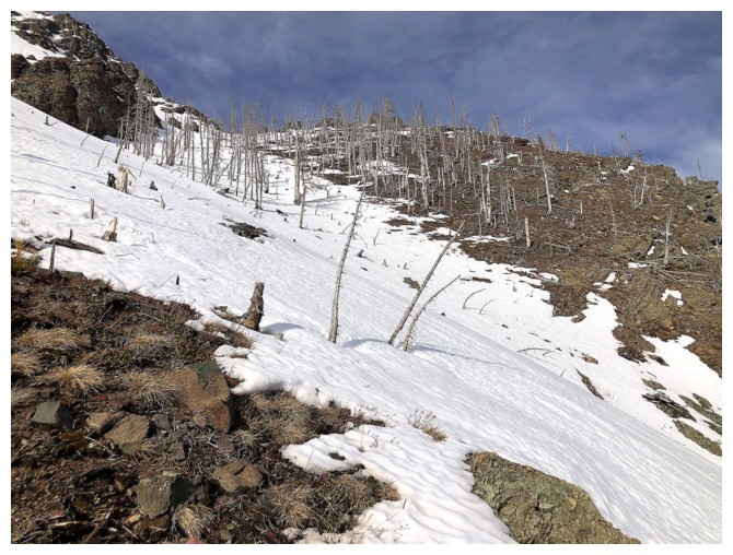
It took considerable effort to make it to the base because of the unsupportive, deep snow
Along the way they appeared to be several scramble routes get above the
first rock band, however there are a string of rock bands higher up and
I didn't want it risk getting cliffed out or reaching an impasse
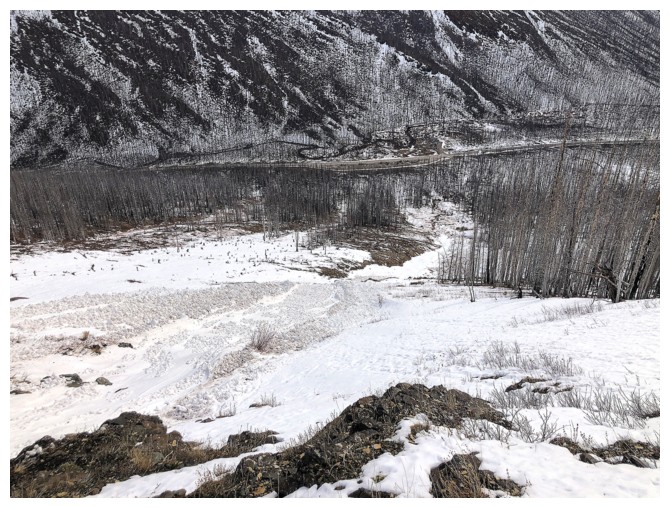
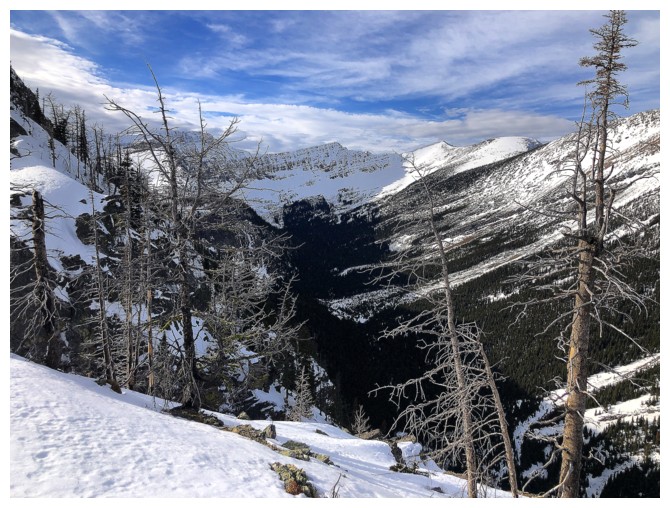
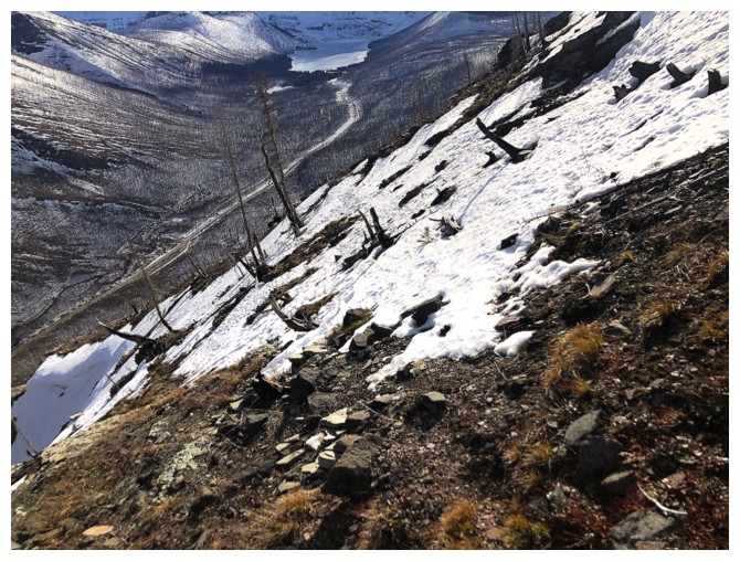
Looking down to the road and a huge avalanche event at the left
Some of the debris
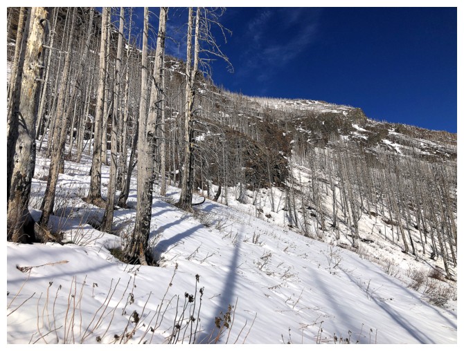
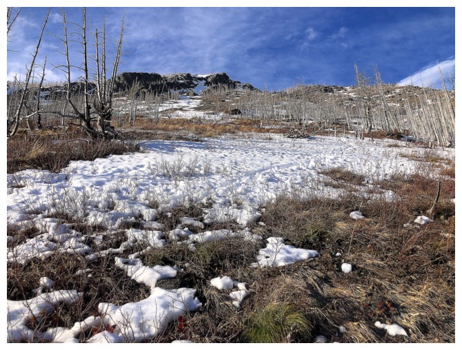
Less snowy terrain past the avalanche slope
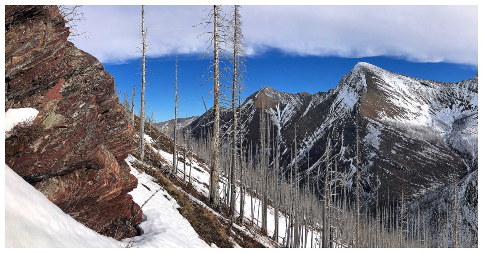
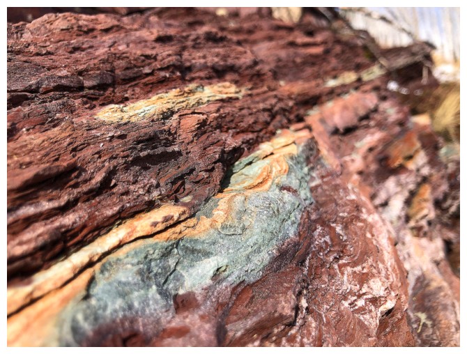
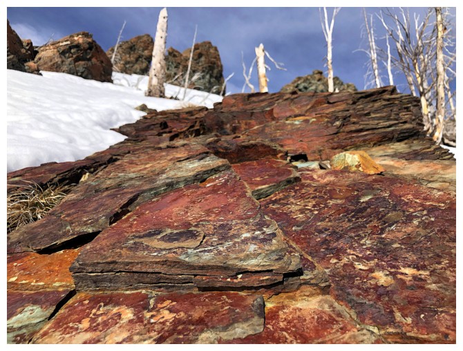
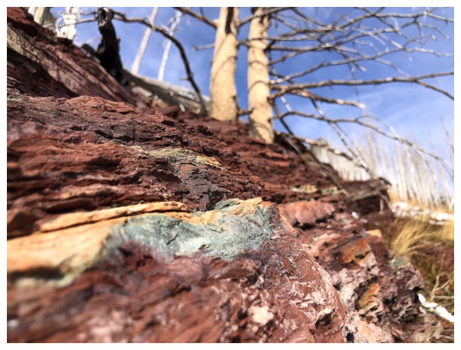
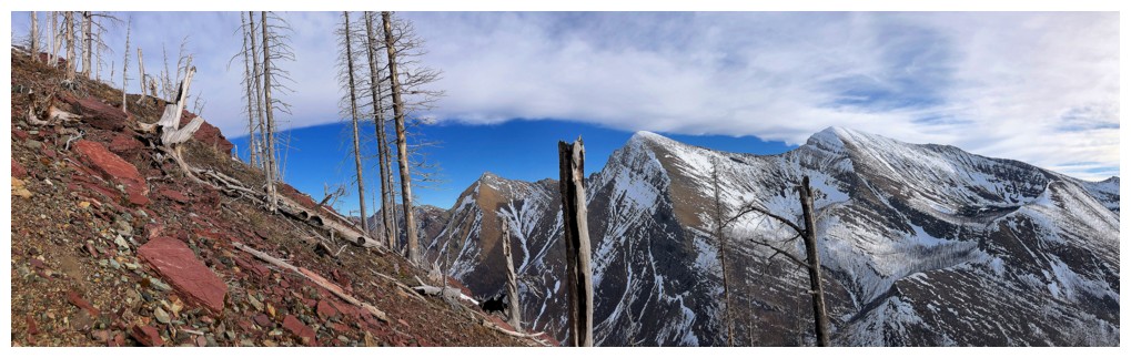
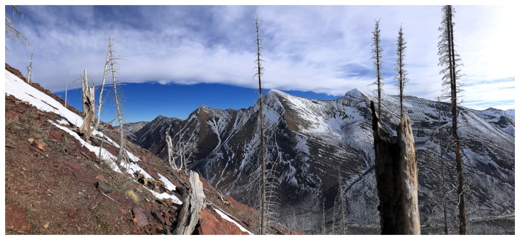
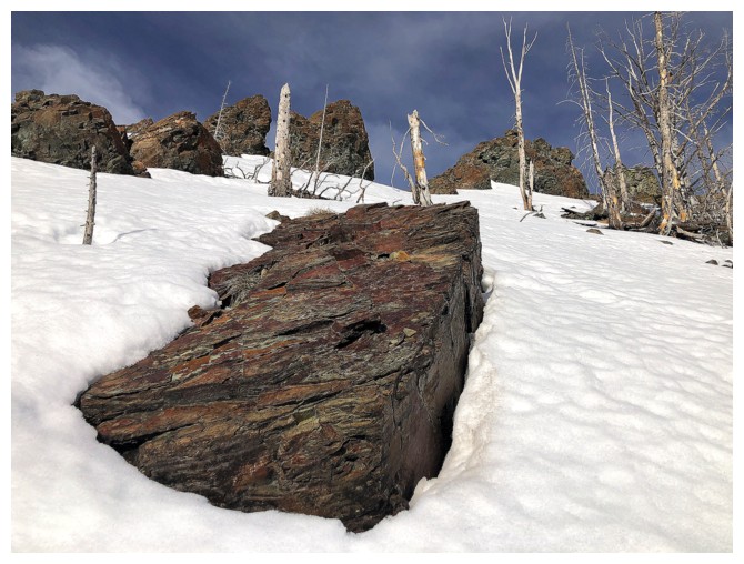
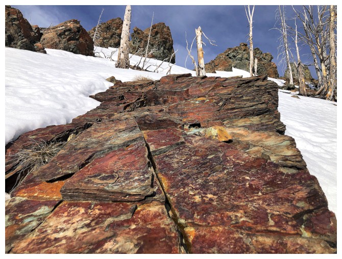
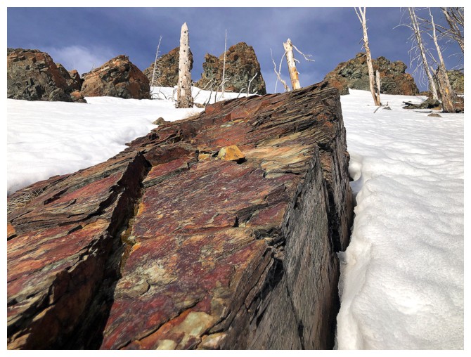
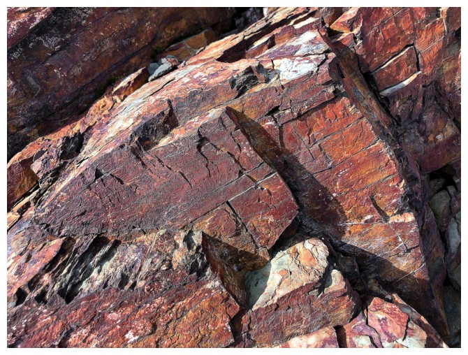
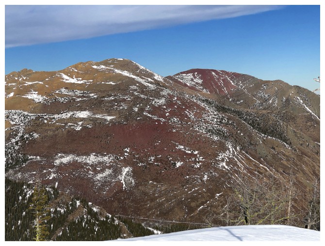
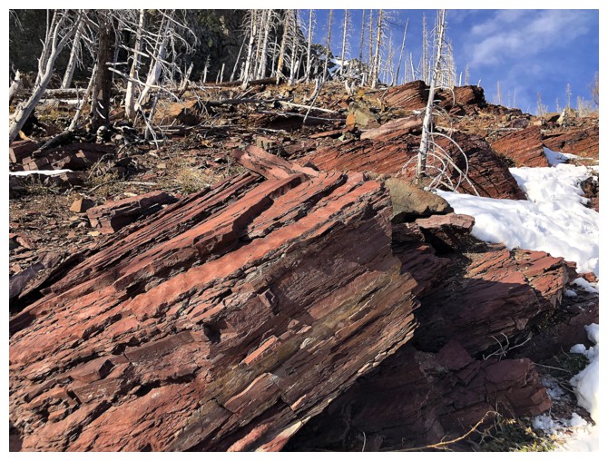
The red argillite, the peaks across the valley, and the high cloud
layer provided cool views for much of the remainder of the ascent
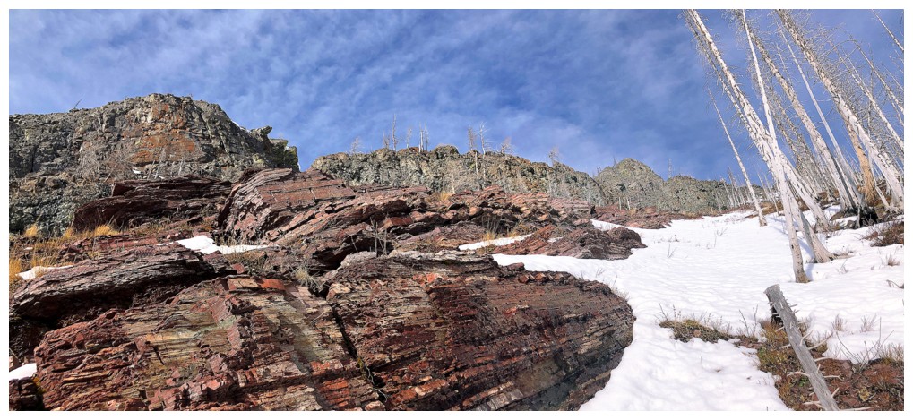
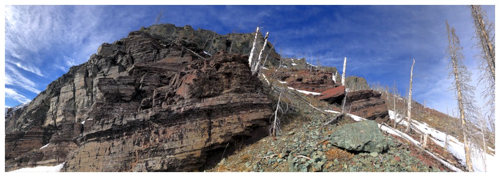
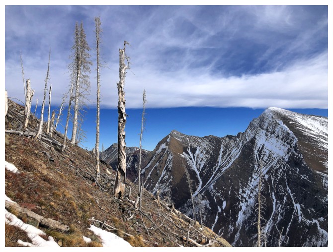
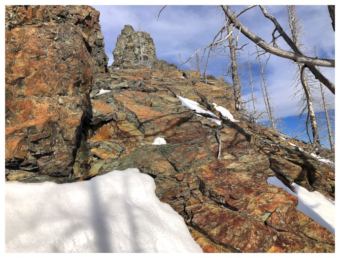
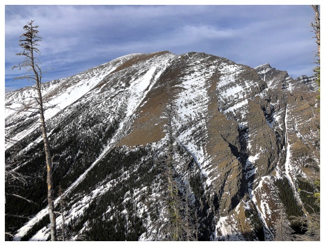
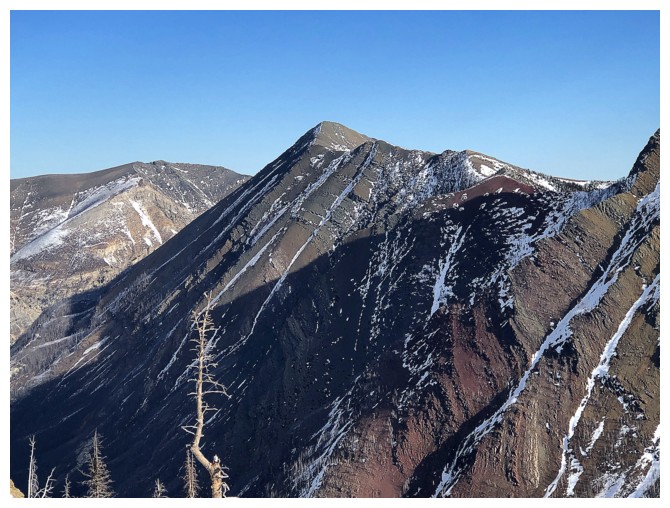
The ridge appears to be guarded by big rock bands throughout
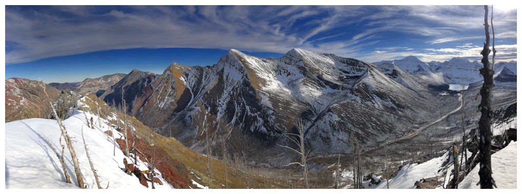
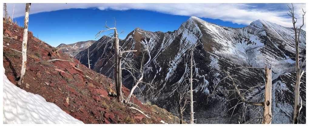
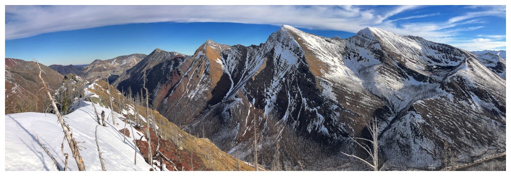
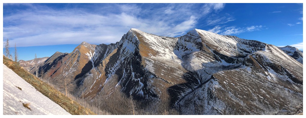
From left to right: Buchanan Northeast, "The Senator" (Buchanan, The Middle Child), Buchanan Ridge, and Mount Carthew
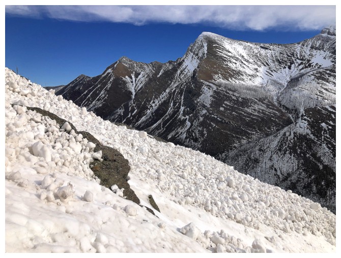
A bit of everything
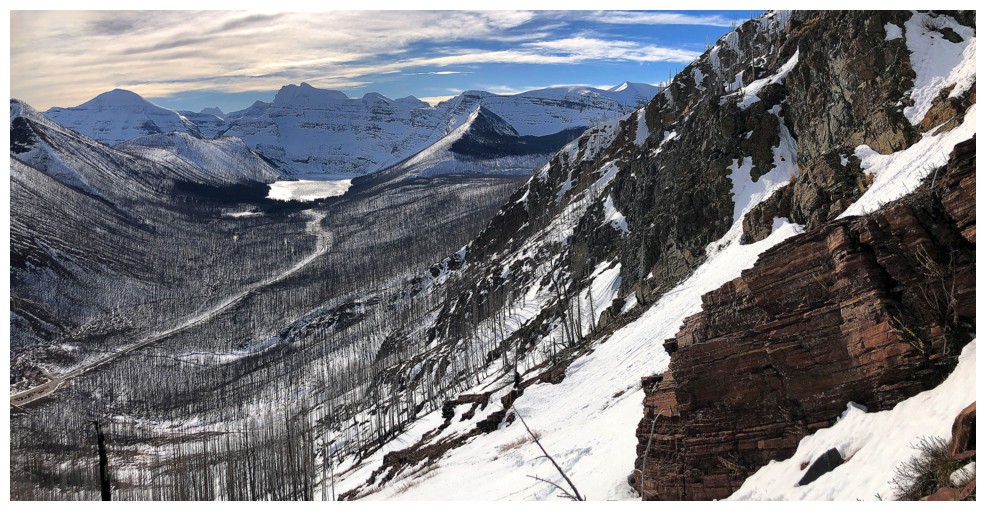
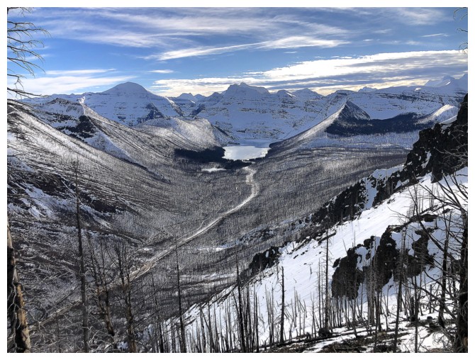
Improving view of Cameron Lake and the surrounding peaks
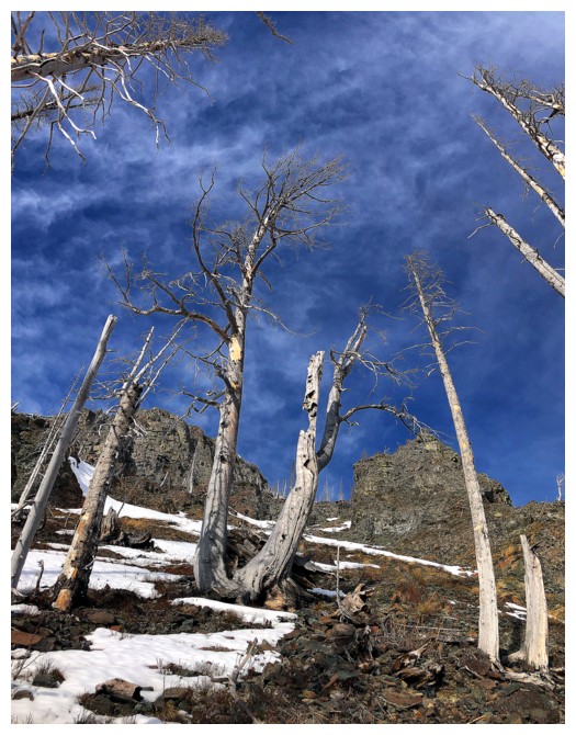
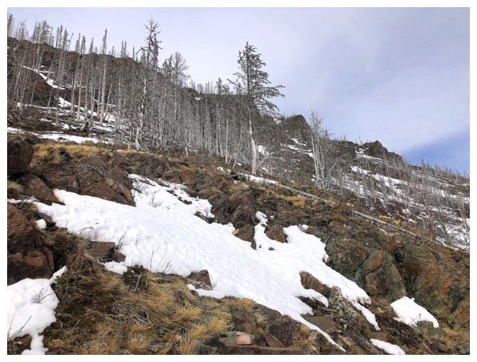
Another round of burnt trees
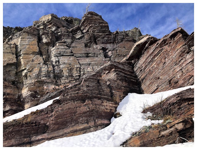
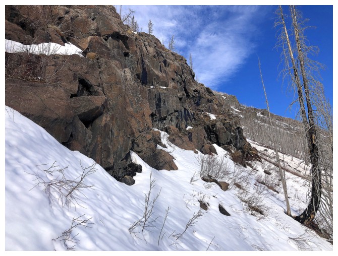
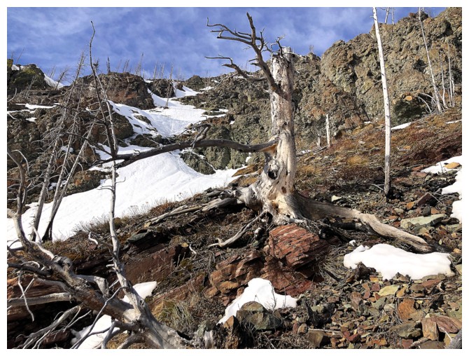
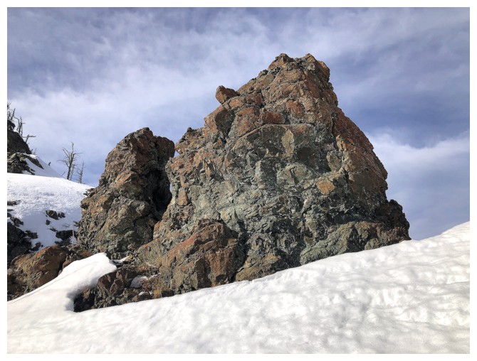
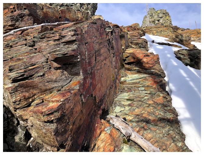
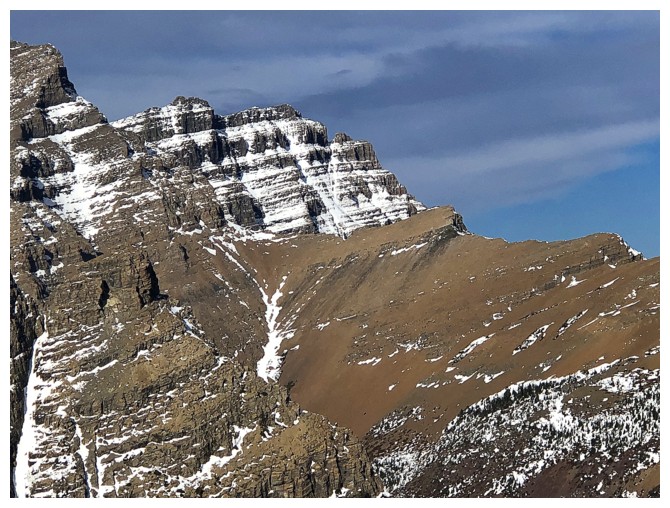
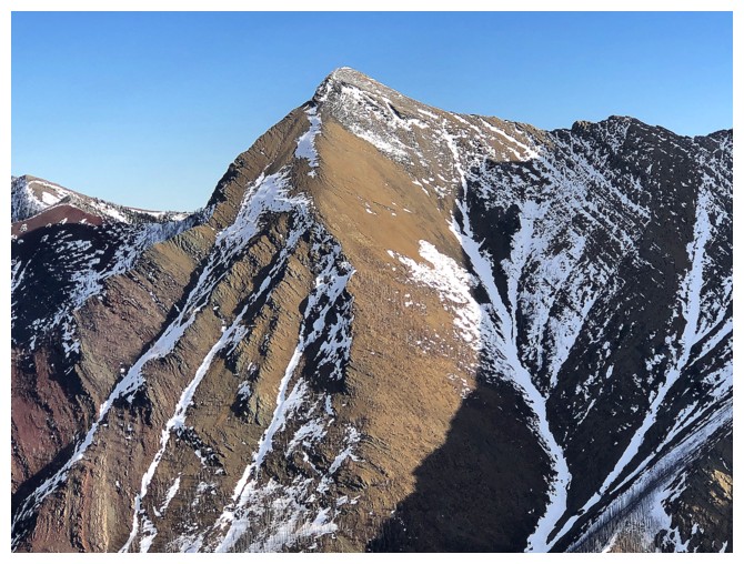
Impressive rock band
Same as above
One of my favourite scenes of the day. Usually I dislike any clouds in the sky, but this one was kinda' cool.
Same as above
One more
One more snow slope to cross before the final ascent to the ridge
The cool clouds again
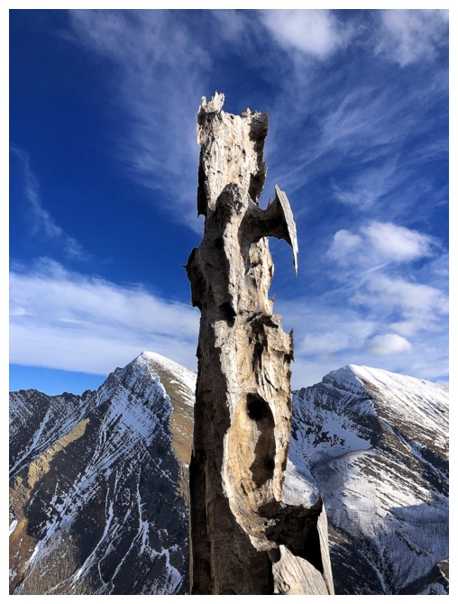
This chunk of rock had my phone camera overheating!
This one didn't but I still love it!
Back to hot
Same as above
Ditto
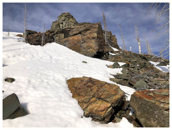
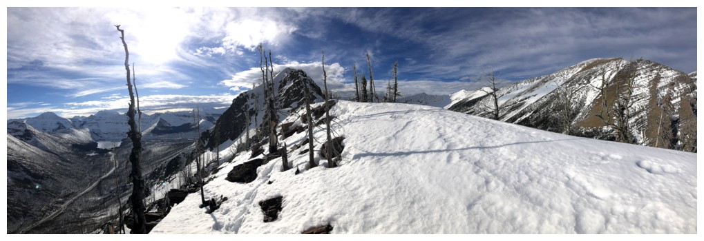
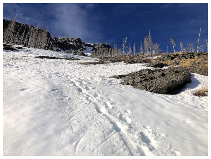
Approaching the ridge
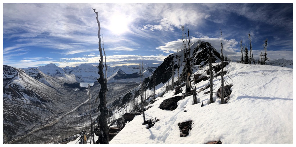
On the ridge, looking west towards the summit of Rowe East
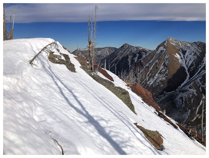
Mount Lineham
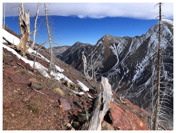
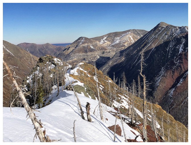
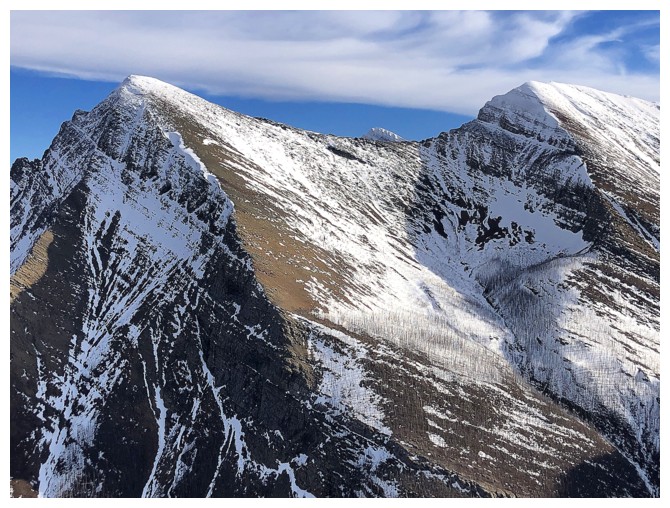
The ridge to the west looks more daunting the further east you go
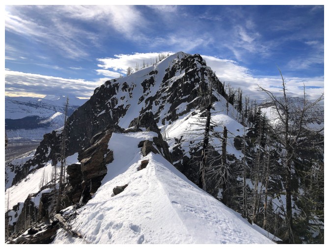
"The Peak of Despair" in the centre
View to the east from the highpoint (which is not really a highpoint - just an open spot on the ridge!)
View to the west
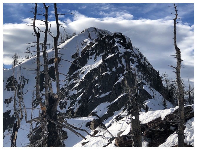
Zoomed-in photo of the section that may or may not be a scramble, but certainly isn't in its present condition
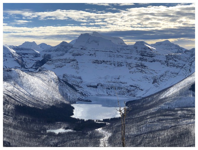
Close-up of Cameron Lake
The two summits of Ruby Ridge - both fantastic trips
Parts of Piinaquiium overshadowing the lowly form of Igneous Peak, just right of centre
East again
Mount Crandell's west ridge route
Close-ups of Buchanan Northeast...
..."The Senator"...
... and Buchanan Ridge and Mount Carthew
Northeast and The Senator. Unfortunately, there is no scramble route between them.
Looking down the first part of the descent route
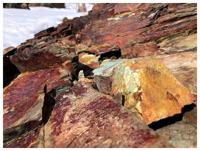
Enjoying the last of the red argillite scenery
Descended this snow slope directly down to the road instead of retracing my steps
Enjoying last views of all the Buchanan's and a big tree
Oops! One more but no big tree
The lower section was quite glissadeable
And then it wasn't
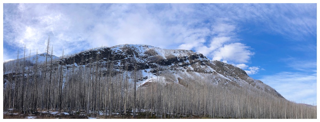
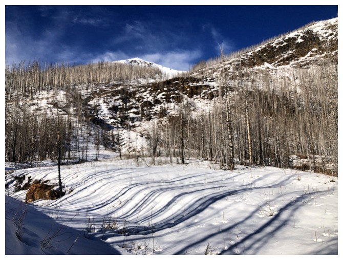
Looking back at the route from the parking lot: a left to right
traverse, below the major rock band that lines the southeast face
The End
LOG