Carthew Minor-Minor III
August 4, 2025
Mountain height: 2230 m
Elevation gain: approximately
700 m
Ascent time: 4:50
Descent time: 1:30
Solo scramble.
Very much a
“play it by ear” trip and in the end, the route turned out to be comprised of
snippets of other routes I had taken before, with some new stuff thrown in.
With a 6-hour
window to ascend something before the weather was forecast to deteriorate, the
shorter route up Mount Carthew had great appeal. 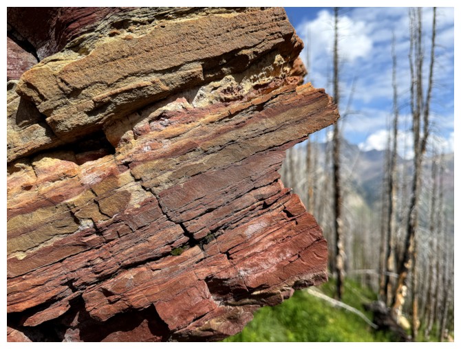 I had completed the route solo
in winter conditions in 2021 and then a variation of that route
with Dave and Mark in 2022. En route, a visit to the tarn below Carthew Minor-Minor
would also be a goal of this trip.
I had completed the route solo
in winter conditions in 2021 and then a variation of that route
with Dave and Mark in 2022. En route, a visit to the tarn below Carthew Minor-Minor
would also be a goal of this trip.
Without snow I was
hoping to make quick progress up the drainage, at which point I would pick one
of the aforementioned routes. That plan was abandoned only a few hundred metres
from the start. The drainage was bushy and uninviting. Instead, I gained
elevation on the right side, as we had done in 2022. 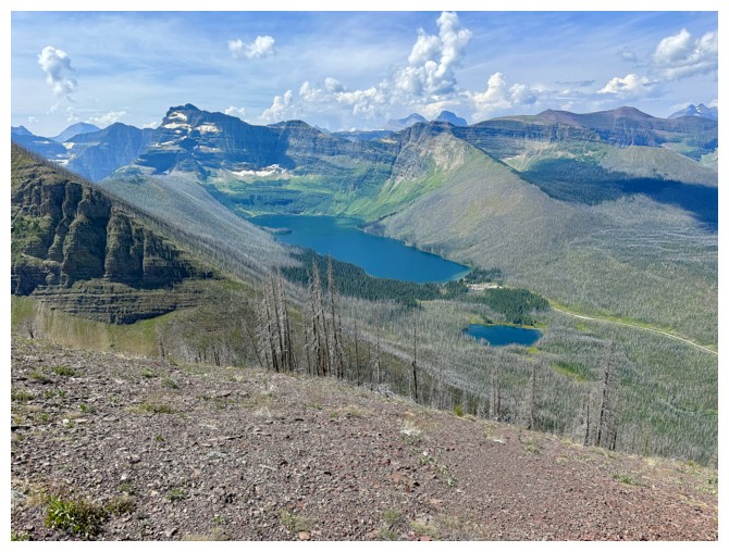 Then I had the deluded
idea I could ascend Minor-Minor directly or around the right side. Both routes were beyond scrambling.
Then I had the deluded
idea I could ascend Minor-Minor directly or around the right side. Both routes were beyond scrambling.
Eventually, I
conceded to using the 2022 route. It would take me directly to the tarn. That
didn’t happen either. Arriving at the base of the route Mark, Dave, and I
snowshoed up, I was shocked to find that this route too was beyond scrambling.
With snow the drainage amounted to a very steep but straightforward ascent.
Without snow covering everything and filling in all the holes and gaps, the
terrain was a complex array of steep rock bands. After a half-hearted attempt
to ascend it, I turned around and started towards the other route.
That route,
though straightforward, was longer and more strenuous than expected. By the
time I reached the top of the gully, I had written off Mount Carthew. It made
far more sense to check out the tarn and then make my way up Carthew
Minor-Minor.
With signs of
recent bear activity, the exploration of the tarn was a noisy affair. The body
of water itself, a pleasant diversion, but nothing that would be giving Moraine
Lake a run for its money in terms of scenic beauty. A third ascent of
Minor-Minor went with relative ease – lots of red argillite to keep me
distracted and entertained. The clouds had started to build at this point and
so I didn’t stay at the summit for long. The last order of business would be to
find out if I could take a more direct route down to Cameron Creek and possibly
find an ascent route up the opposite side of Minor-Minor. The mission was
accomplished but no easy route was found. I ended up traversing far to the
southwest, near where I descended for Minor-Minor I.
Once down to
Cameron Creek, I used the nearby bridge to cross instead of following the bushy
shoreline. Of course this meant I would have to ford the creek, sans
hip-waders, to retrieve said waders, but at the end of a warm August day, the
crossing was more refreshing than the usual traumatizing.
Not what I set out to do, but another terrific day, exploring new areas around old
objectives.
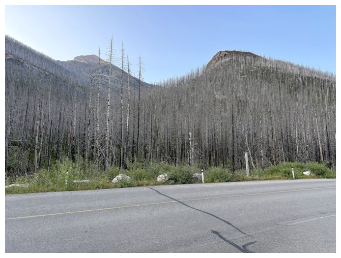
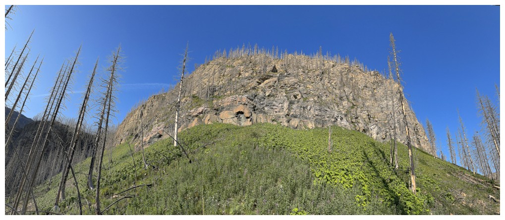
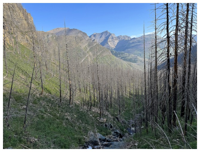
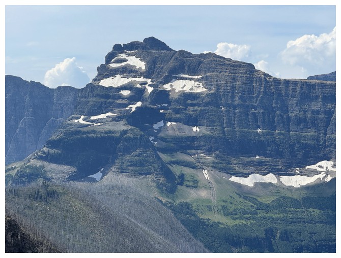
The original objective (Mount Carthew) at the left
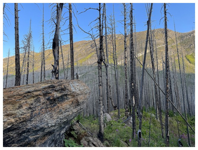
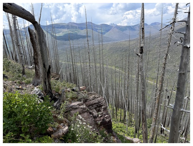
Rowe East through the trees
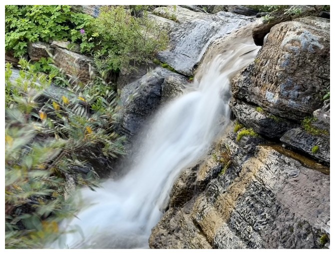
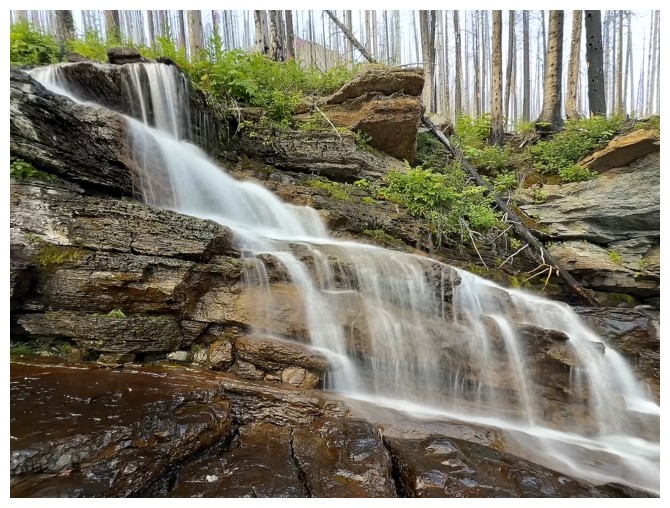
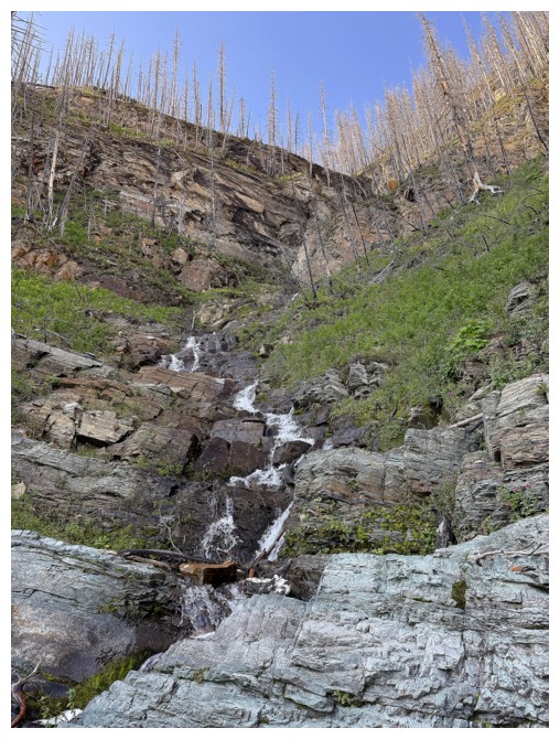
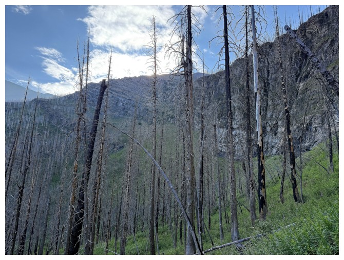
The stream I started following is fantastic near the beginning
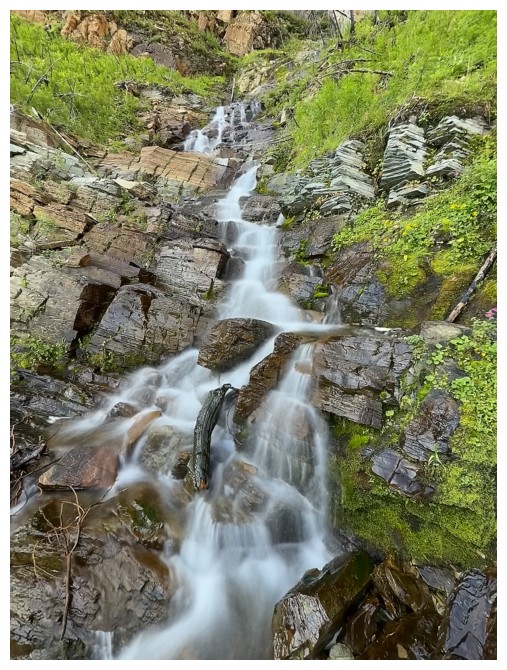
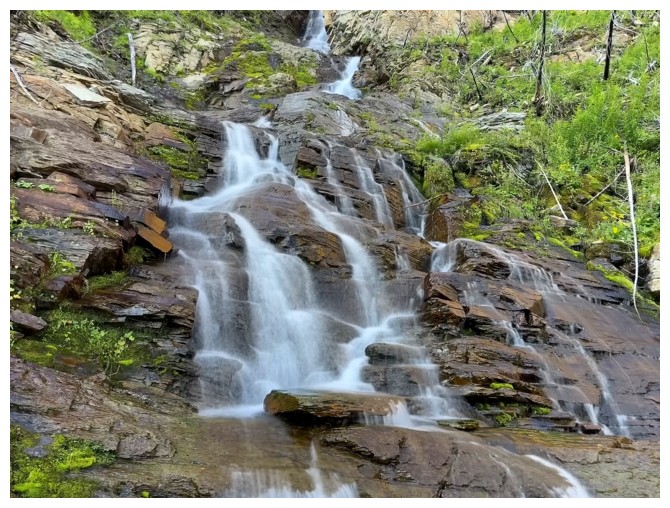
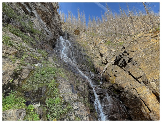
And this section is the highlight
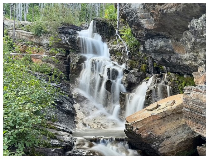
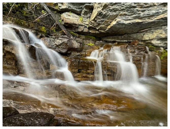

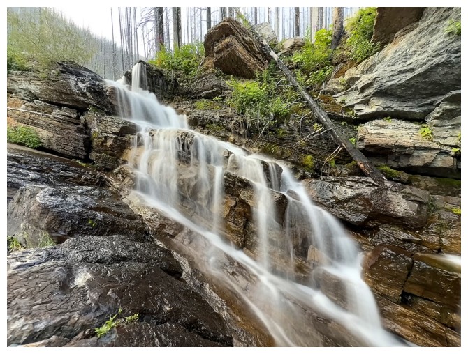
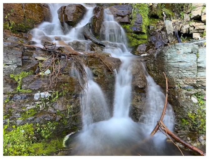
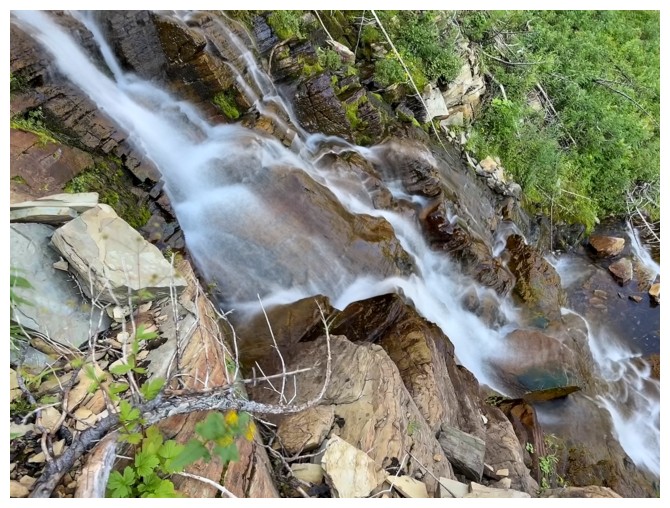
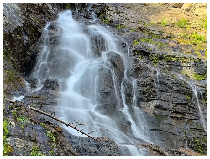
Leaving the long-exposure spectacle
Close-up of the east end of Rowe East and some potential routes up
Close-up of something much closer
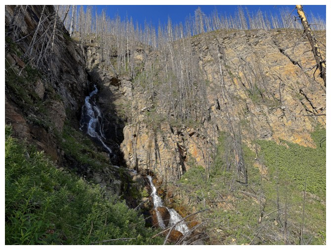
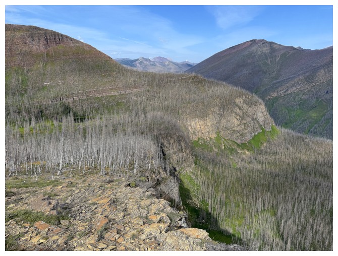
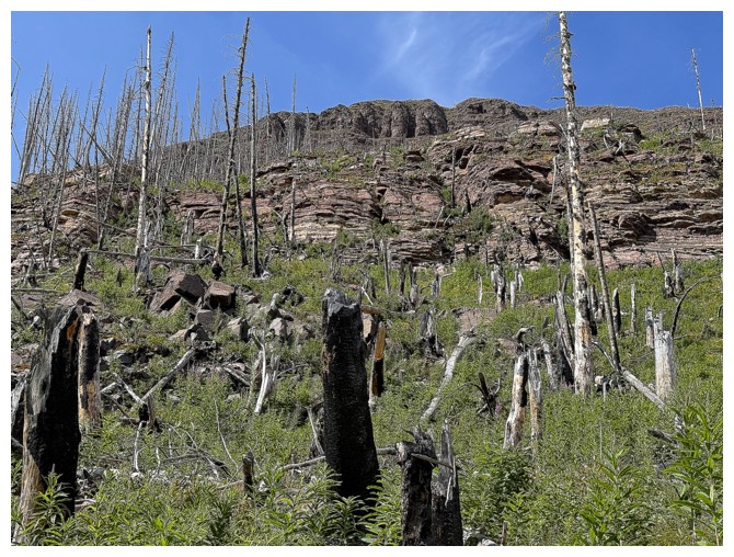
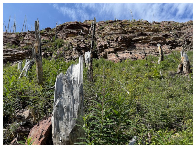
Having left the creek, now approaching the significant rock band that prevents a direct ascent of Minor-Minor
Arriving at the drainage we ascended wearing snowshoes in 2022
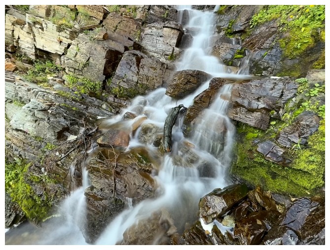
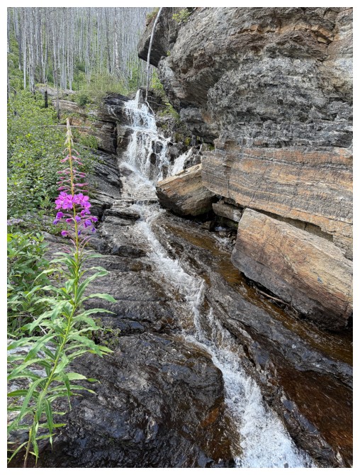
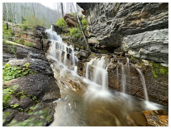
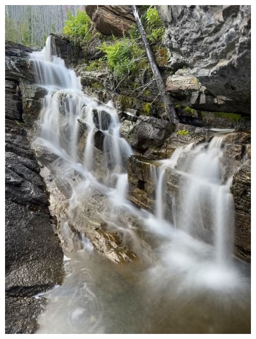
Another round of long-exposure photos
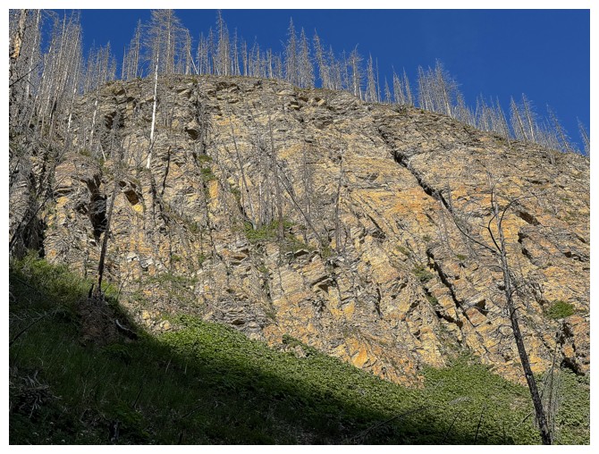
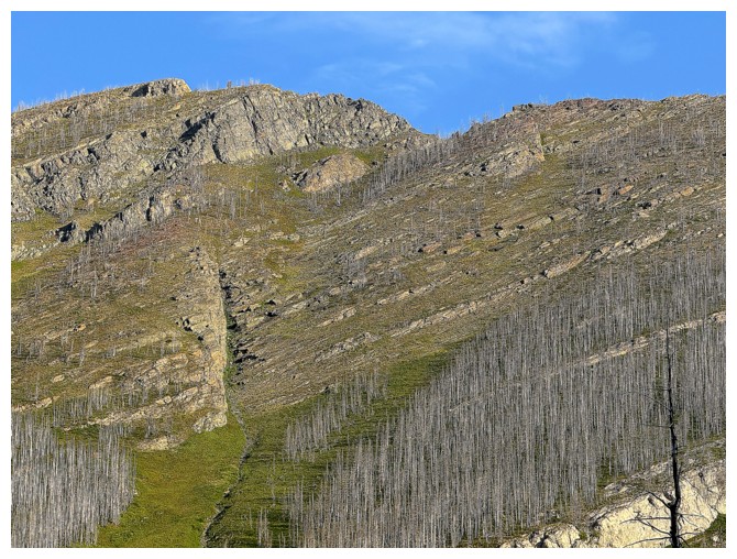
Looking for a route up this way, but the terrain is too steep
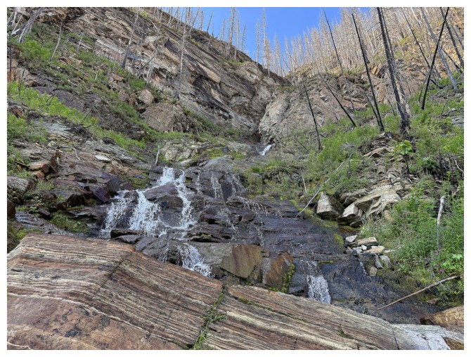
Following the drainage up should work
Ouch! Not getting up this way. I made a febble effort but backed down almost immediately.
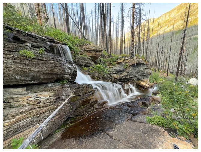
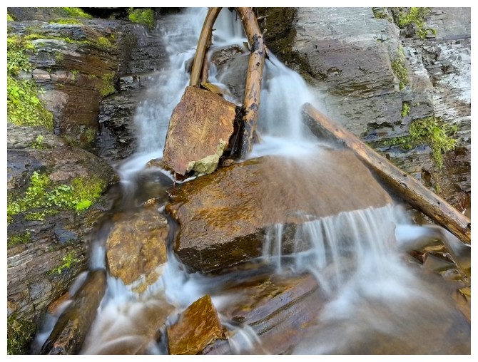
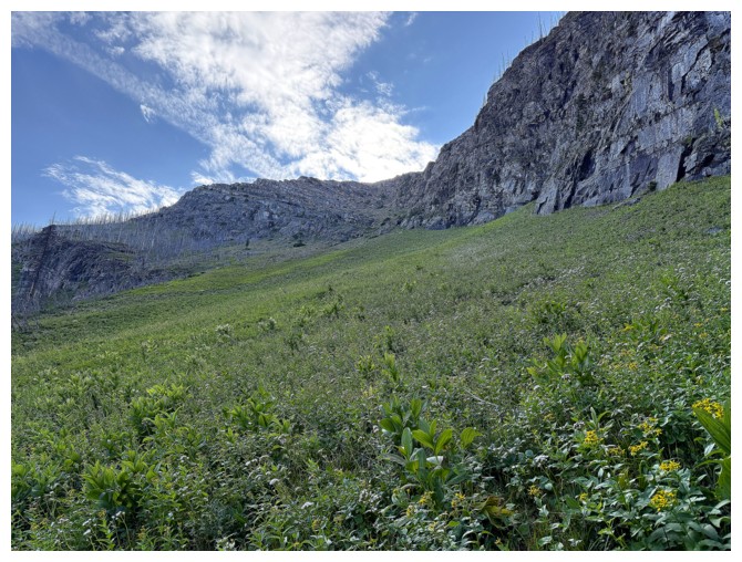
At least the water scenery is fantastic
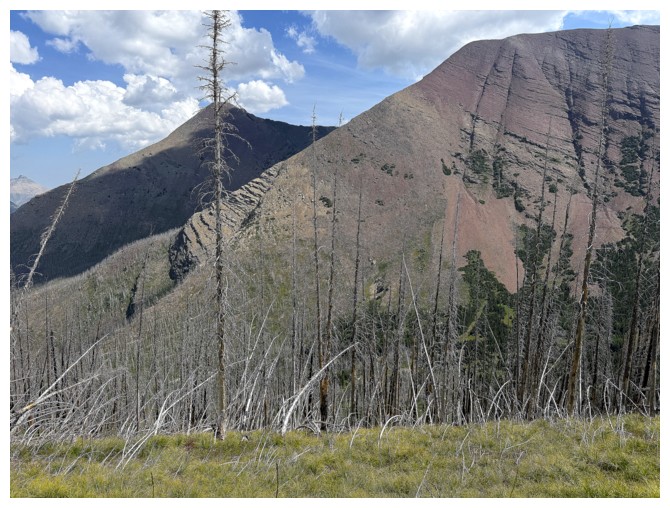
Looking back at the failed summer route, but successful winter route
Traversing over to the other route of 2021
It's an easy trek to get to the base, but a foreshortened grind up the gully
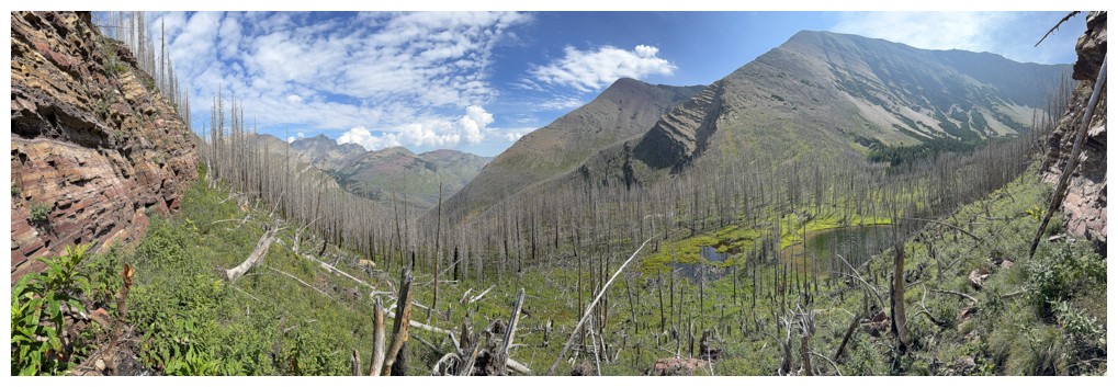
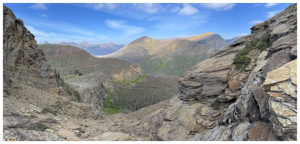
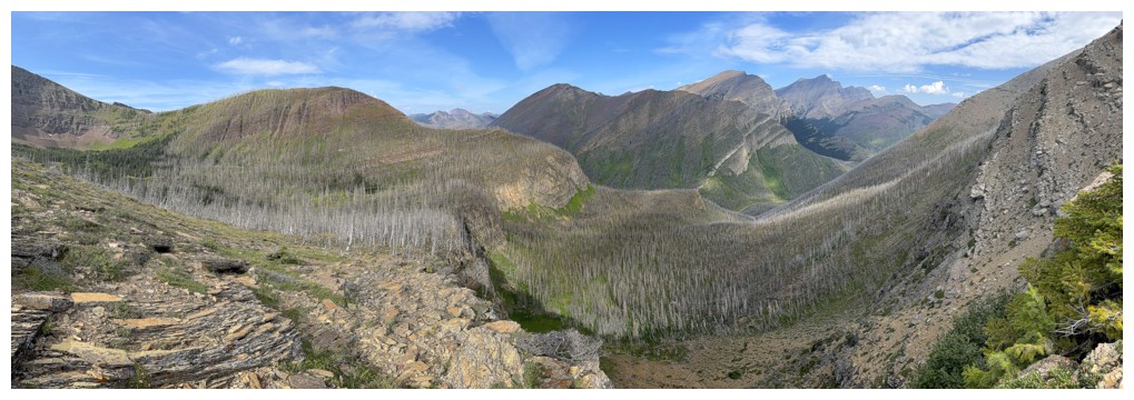
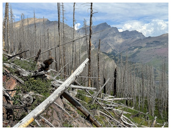
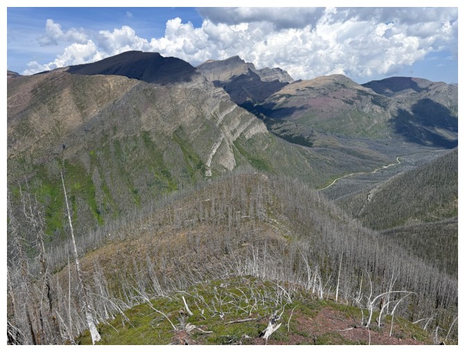
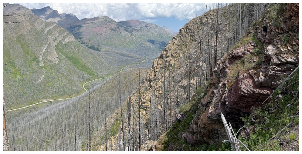
Looking back down the valley
The failed route over to the left, with Mount Rowe behind
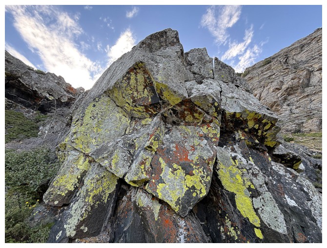
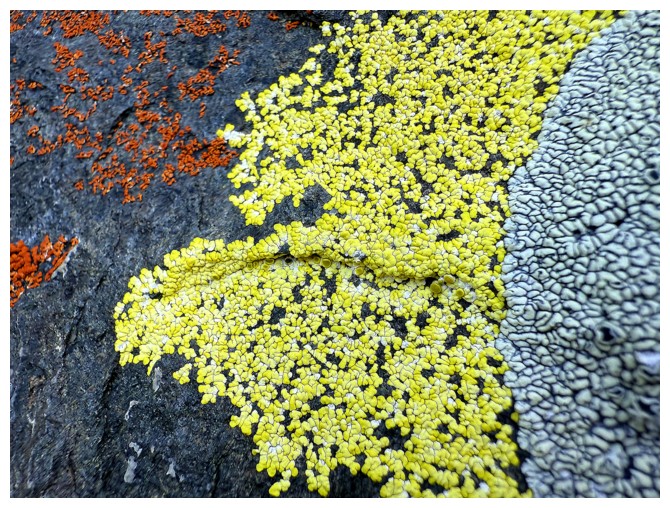
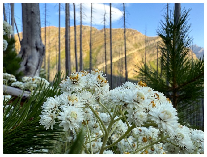
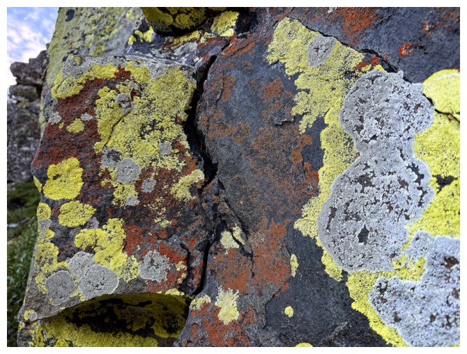
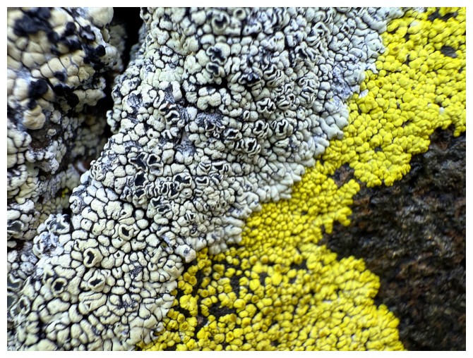
Time for a lichen distraction
Lots of breaks needed to admire the views (and catch my breath) going up the gully
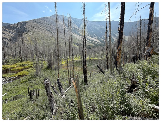
At the top of the gully. The tarn I want to visit is just visible near the left.
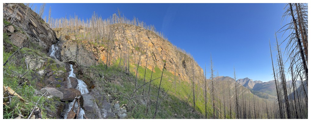
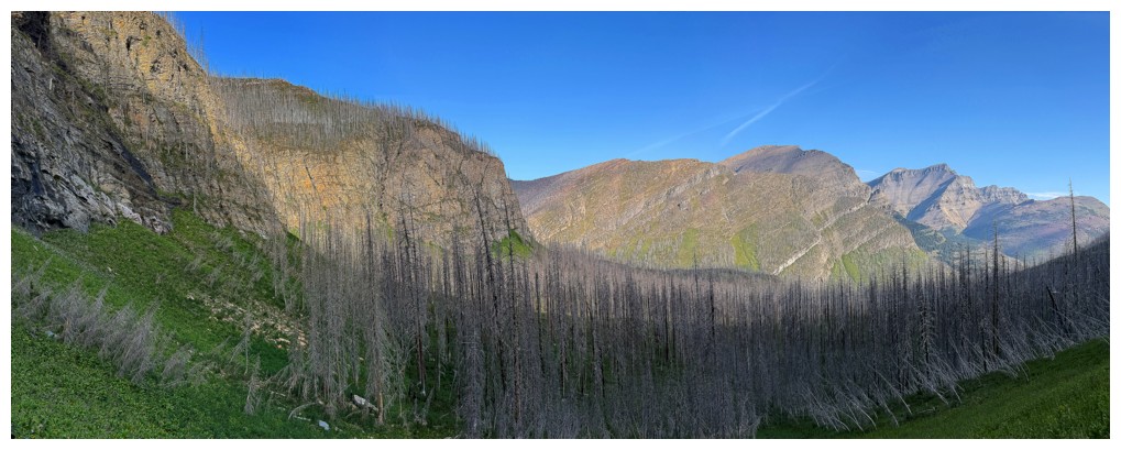
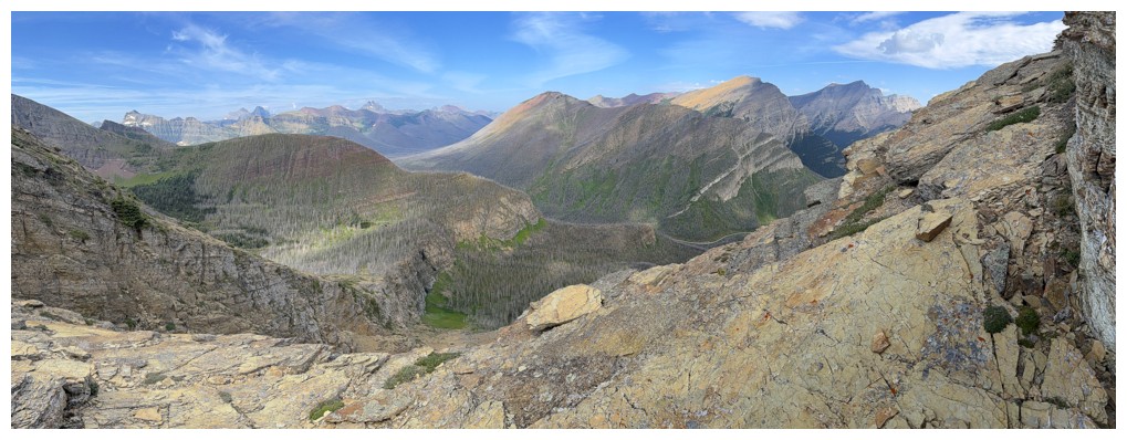
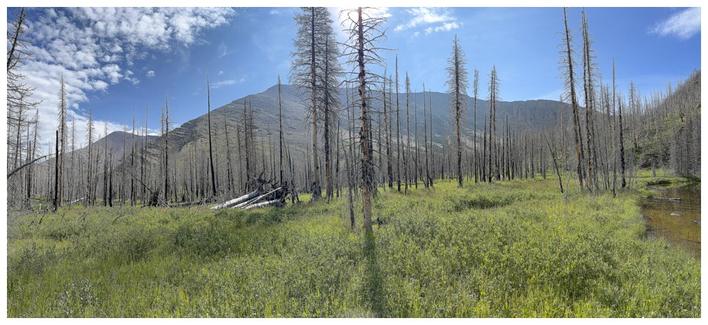
The bigger picture
Having bailed on Mount Carthew, now losing elevation towards the tarn
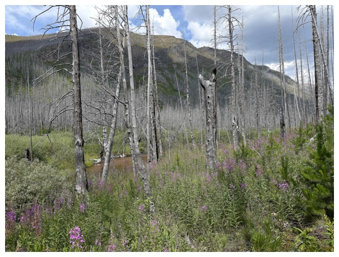
Not the tarn, bit an indication of the marshy nature of the terrain around it
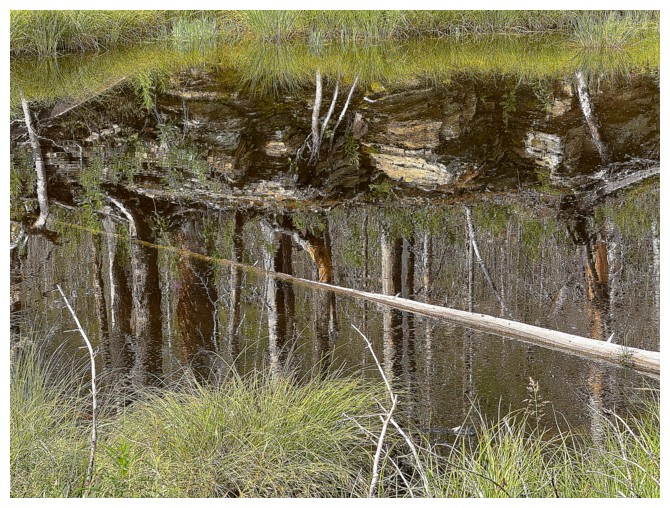
Neat reflection
Still not the tarn
Glancing over to Mount Carthew
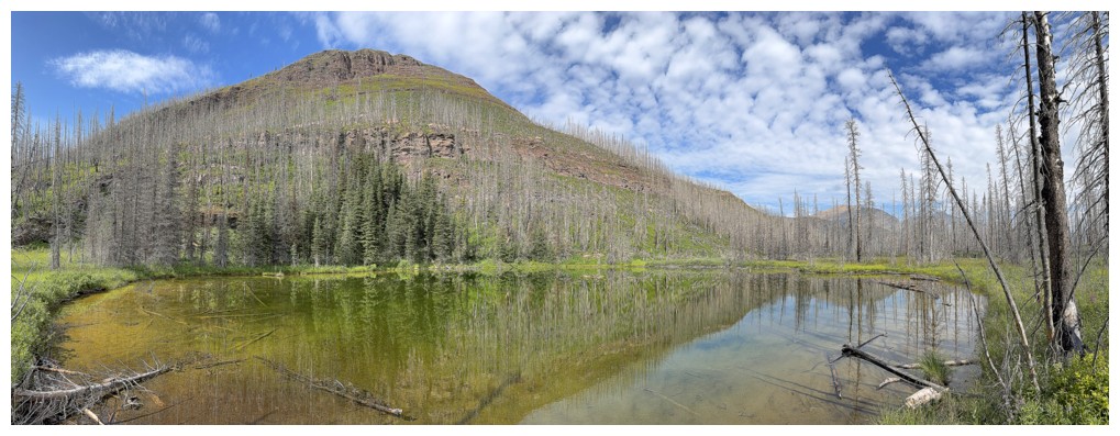
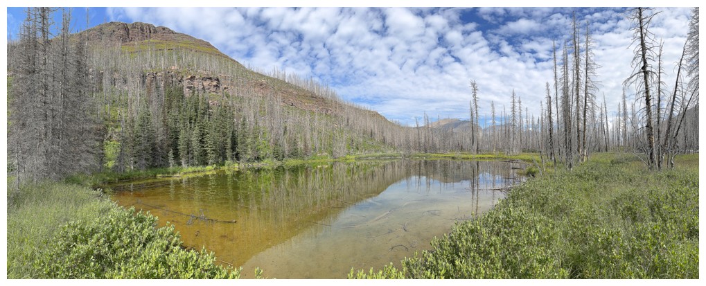
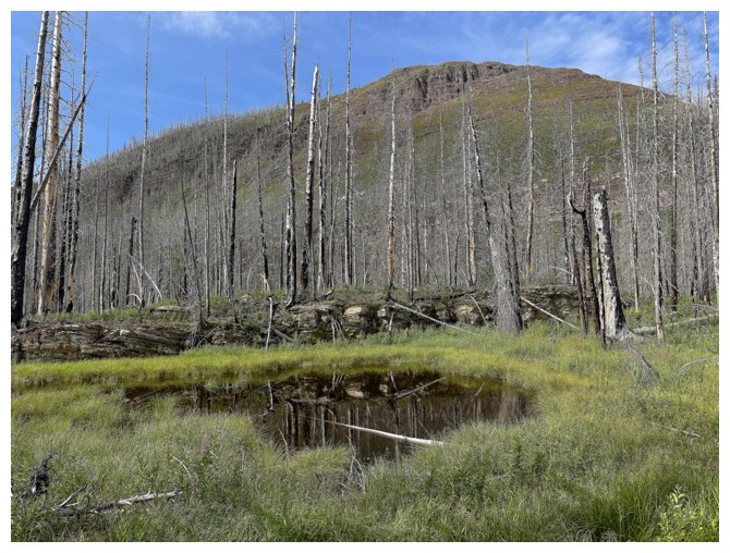
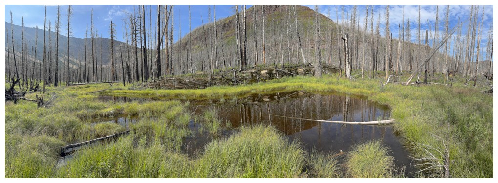
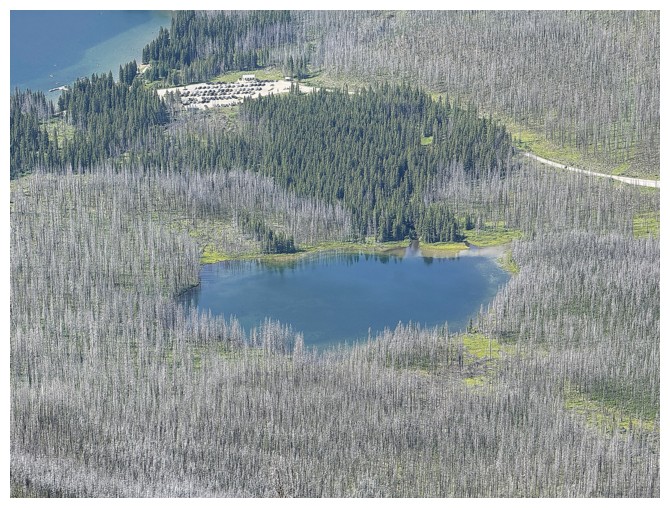
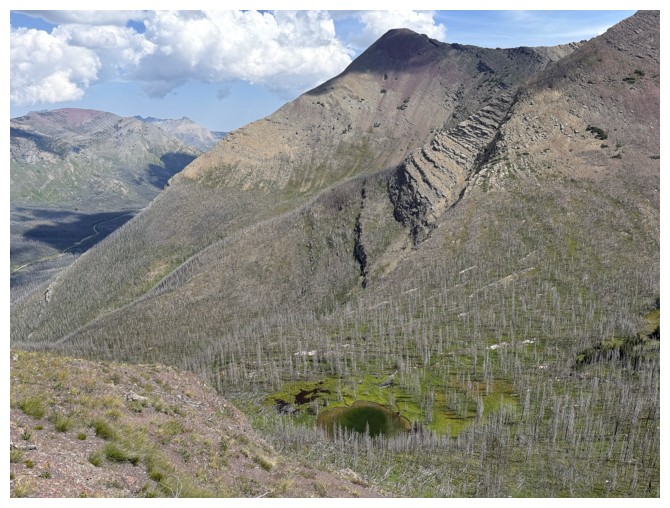
The tarn
From another angle. Carthew Minor-Minor sits above the tarn
Part of the connecting awesome ridge between Mount Carthew and Carthew Minor
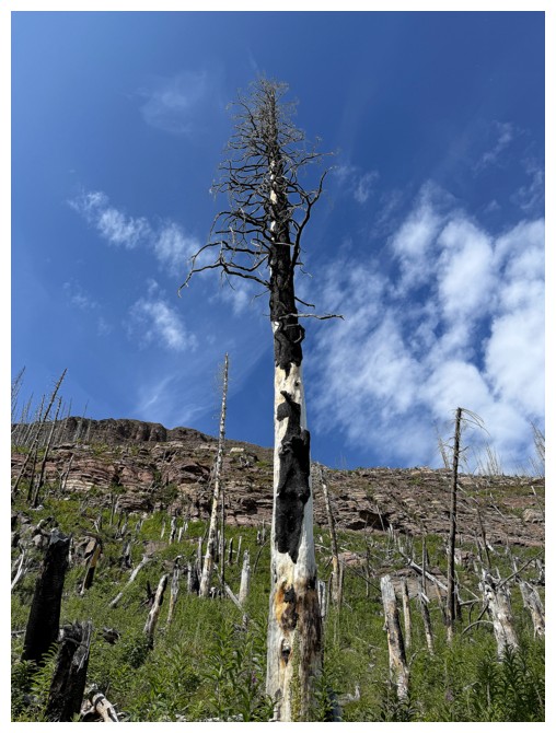
Big, dead tree
Heading up to Carthew Minor-Minor
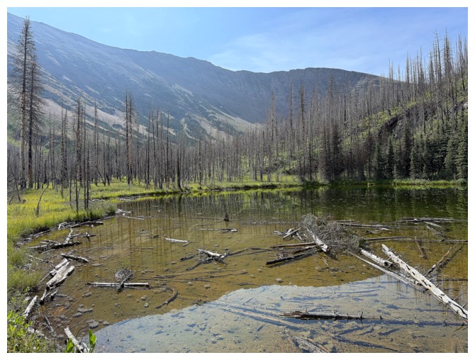
Occasional views of the tarn
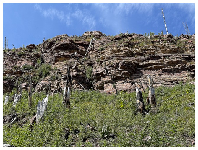
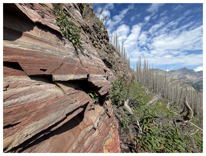
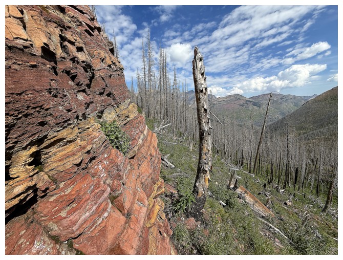
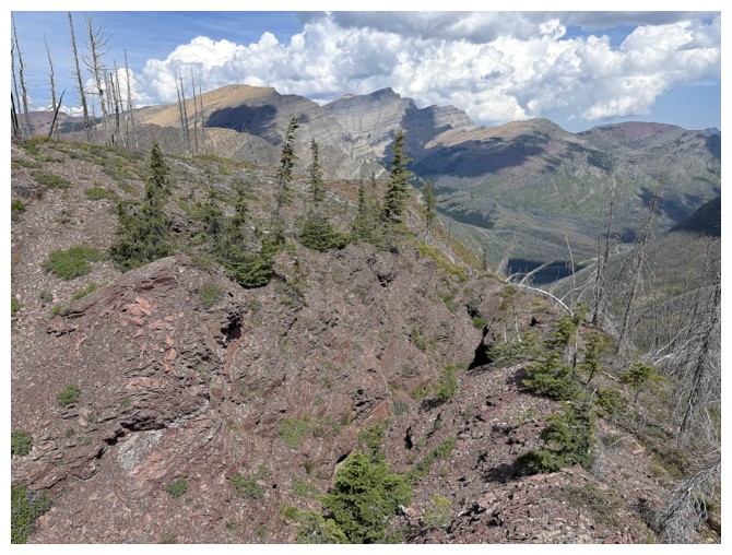
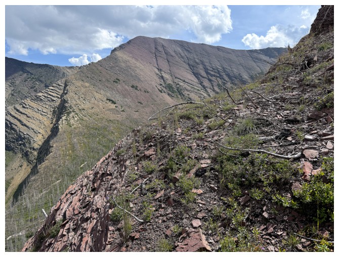
A steep band of red argillite lines the face
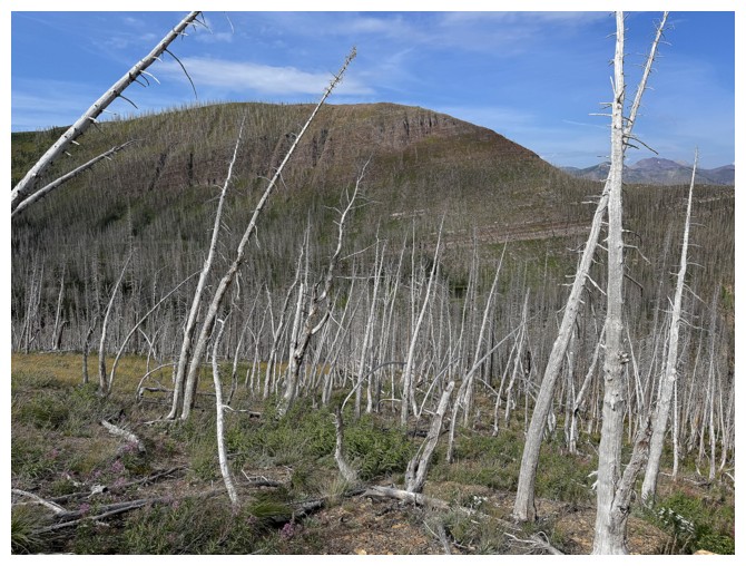
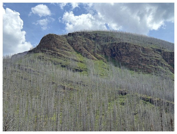
Some fallen trees and some still standing, but eventually they will all fall
Almost at the rock band
There
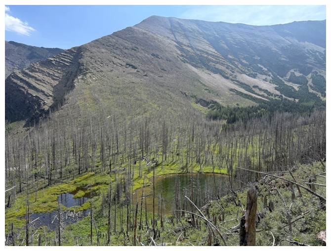
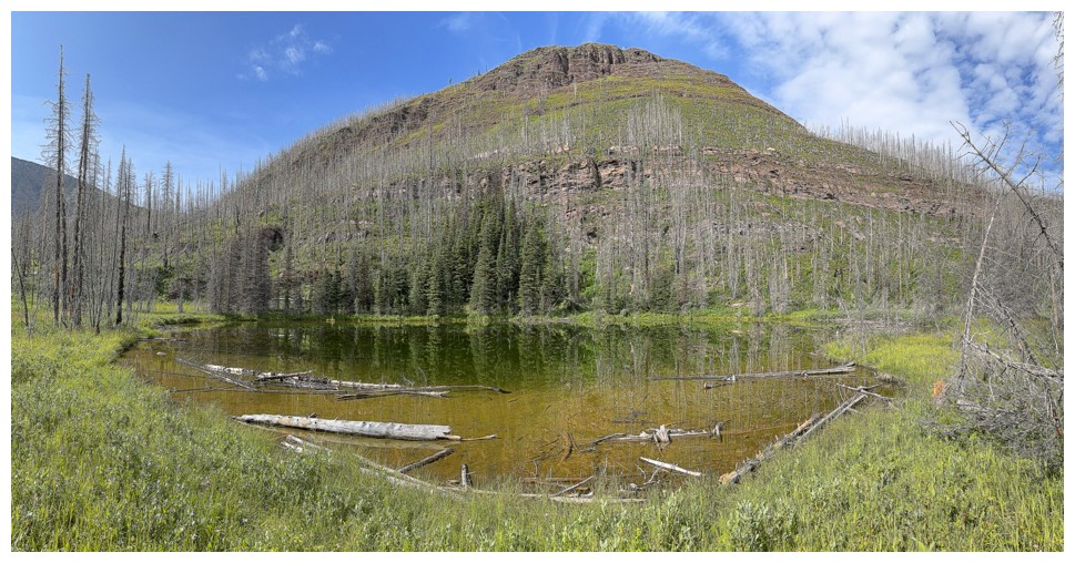
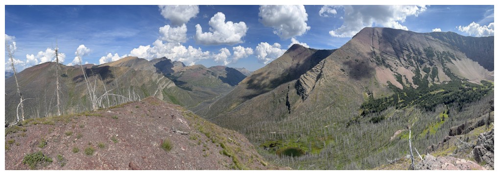
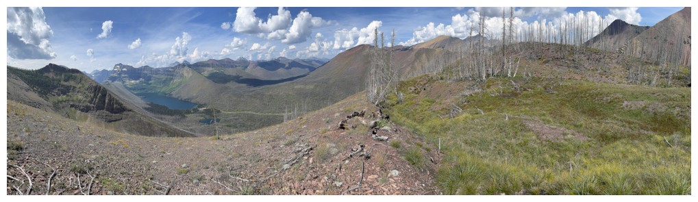
Better view of the tarn and Carthew
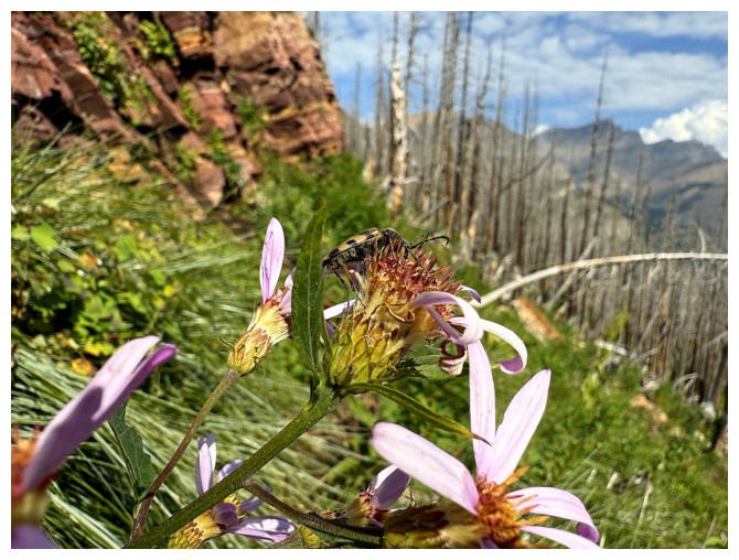
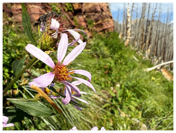
Some sort of beetle pollinating
Traversing the base of the band
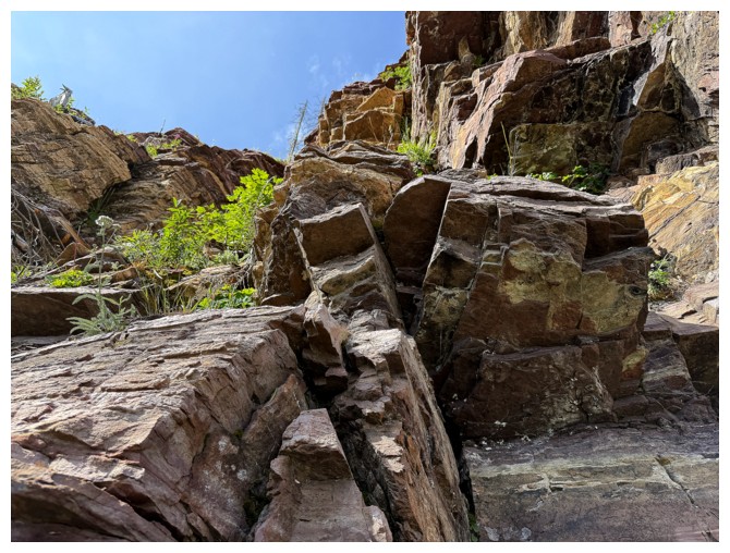
Looking up it
On the ridge
Heading for the summit
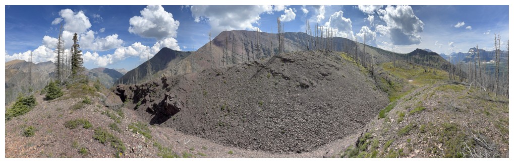
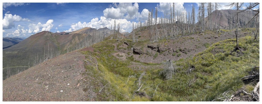
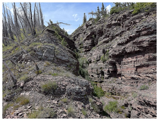
The summit ridge has a few interesting features, including a canyon-like depression
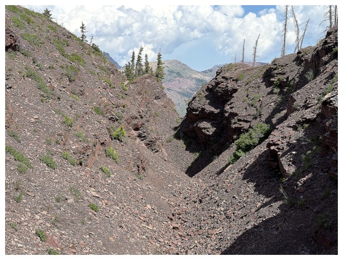
Inside the depression
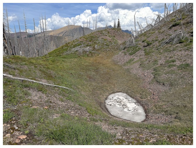
Snow in August?!
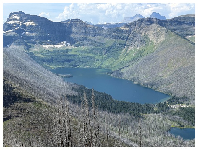
Cameron Lake
Almost at the top
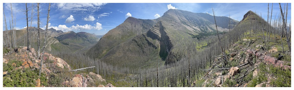
Summit pano 1
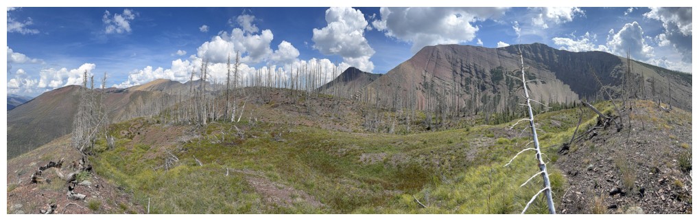
Summit pano 2
Akamina Lake
Mount Custer
Buchanan Ridge near the left
Going to see that depression from the other side
Same as above
Buchanan Ridge and the tarn
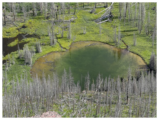
Just the tarn
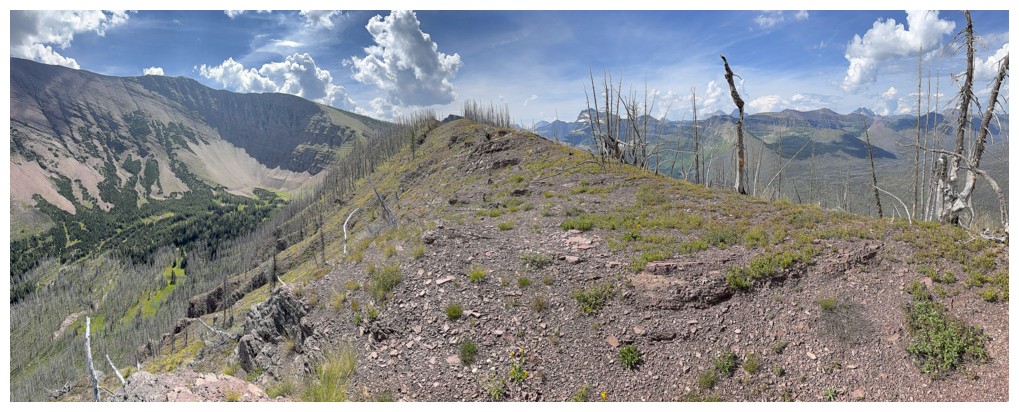
Heading back down the ridge, but now looking for a direct route back, down the left side
Last look at Mount Carthew
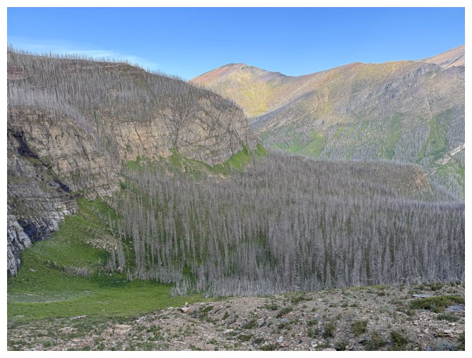
Steep and complicated terrain on the northwest side of the mountain
Heading southwest for easier terrain
Back down to Cameron Creek
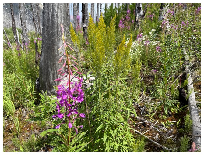
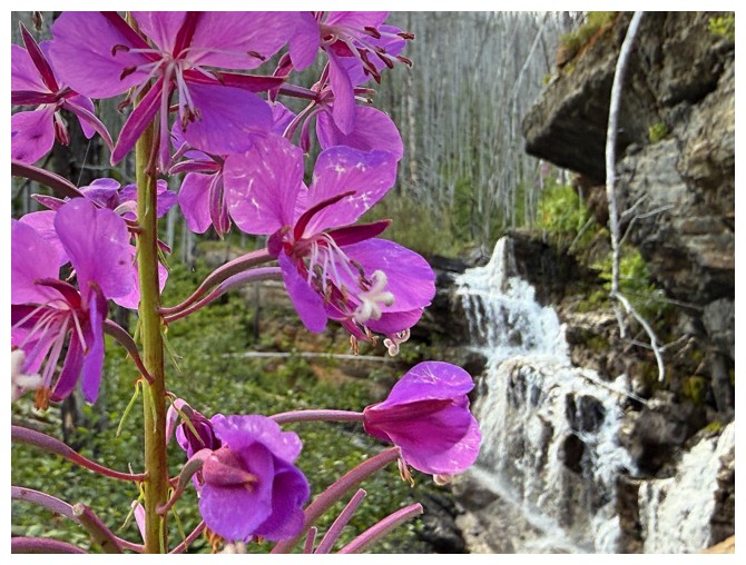
Lots of fireweed down here
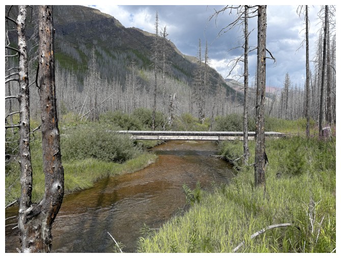
The bridge. There's a nice trail on the other side back to the road.
Interestingly, the trail on this side of the creek just peters out.
The complex terrain that I avoided. I'm sure there's a route up somewhere near the left - maybe a future trip.
The End
LOG