Rowe East IV
April 11, 2024
Mountain height: 2330 m
Elevation gain: 680 m
Ascent time: 2:45
Descent time
(with a detour) 2:40
Solo snowshoe.
After nine days
vegetating on a Cancun beach, I needed a short trip without excessive elevation
gain that would reacquaint my body to the suddenly foreign concept of an
elevated heart rate – walking 15 meters from my beach chair to the bar to get a
pina colada didn’t quite do the trick!
 Rowe East fit
the bill perfectly. While the winter route is not a pushover, it’s a decent
workout on generally safe terrain (route dependent, obviously). And why didn’t
I choose the winter version of slightly higher Mount Rowe? I’ve come to the
surprising conclusion that Rowe East is a more enjoyable ascent, boasting
varied scenery and options to take different routes up and down.
Rowe East fit
the bill perfectly. While the winter route is not a pushover, it’s a decent
workout on generally safe terrain (route dependent, obviously). And why didn’t
I choose the winter version of slightly higher Mount Rowe? I’ve come to the
surprising conclusion that Rowe East is a more enjoyable ascent, boasting
varied scenery and options to take different routes up and down.
I ended up
taking a slightly different route between the drainage to the west and the
ridge to the east. After a fortuitous and wonderful encounter with a wall of
colourful rock I continued up for a while, eventually trending over to the
ridge. 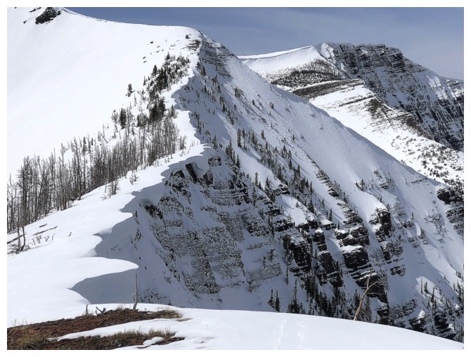 The scenery and views are much better there.
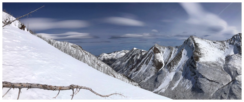
Though I wasn’t
blessed with completely clear skies, there were some pretty cool clouds to keep
me entertained as I made my way to the summit for the fourth time – three of
those ascents in the short span of 4 months.
Given I still
had some energy, I decided to make a stab at Mount Rowe. The chances of making
that summit in winter conditions were not great, as the ridge has a few short
but exposed sections of scrambling. Any snow remaining on the ridge would be
problematic. And problematic it was! Getting over to the ridge was
straightforward except for one steep section where I felt crampons and an ice
axe were necessary. I then started up the ridge trying to stay off the snow on
the left side. At one point while probing with my ice axe, a big chunk of cornice
failed, starting a minor avalanche that when almost all the way down to the
valley bottom. That was enough for me to turn tail and get outta’ Dodge!
Back at the
Mount Rowe/Rowe East col I took a slightly different route down the mountain
before heading into the drainage. Unfortunately, the sticky snow did not allow
any glissading.
A wonderful day
on a wonderful peak. Rowe East has now officially replaced Mount Rowe as my
“go-to” winter route in Waterton.
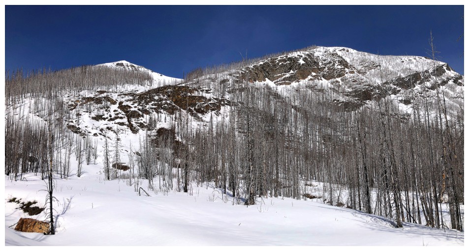
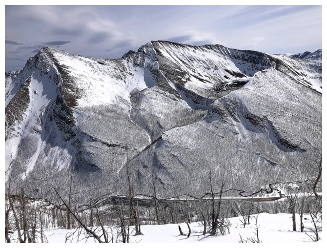
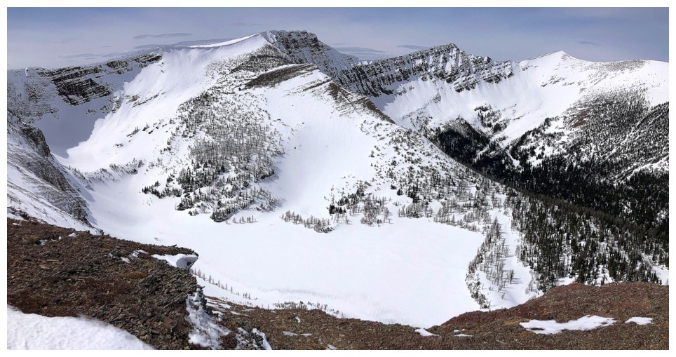
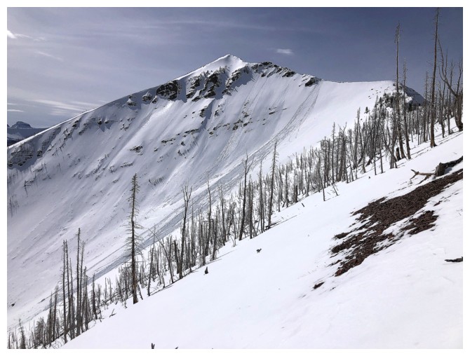
Mount Rowe (left) and Rowe East (right)
Crossing from the Mount Rowe side of the drainage to the Rowe East side
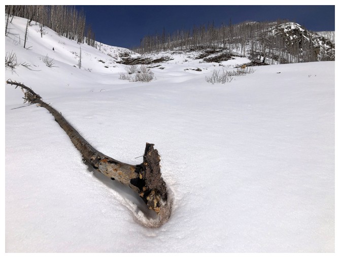
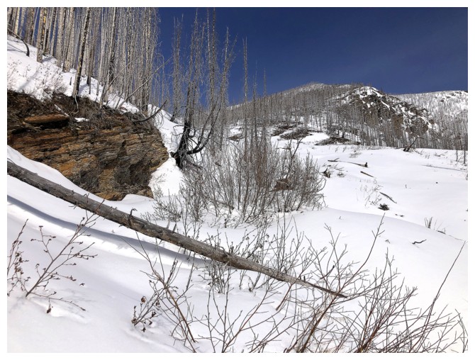
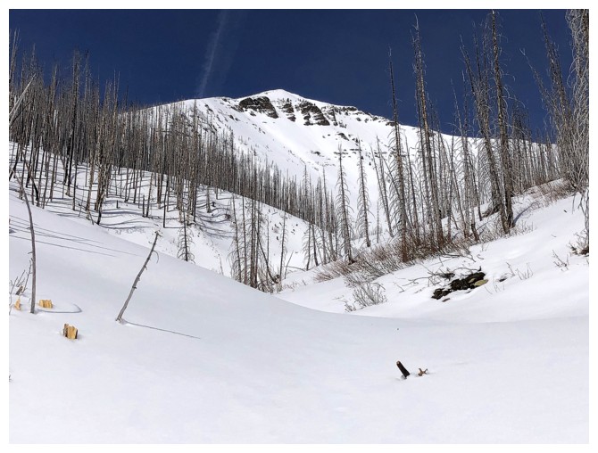
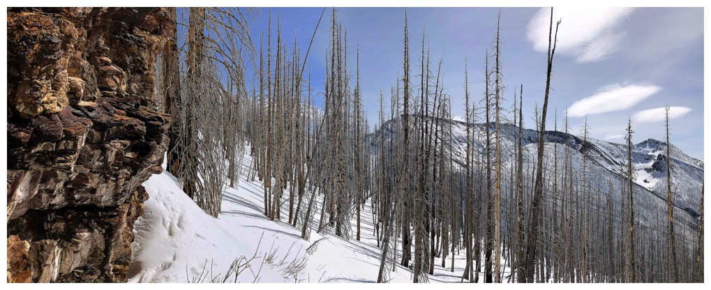
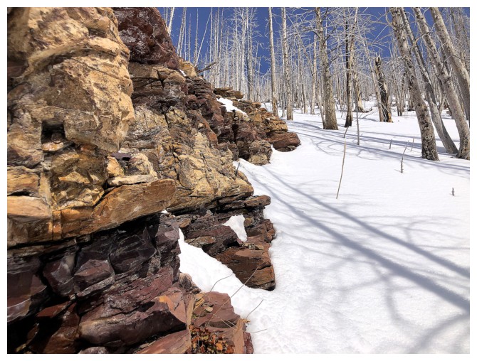
Random dead tree in the drainage

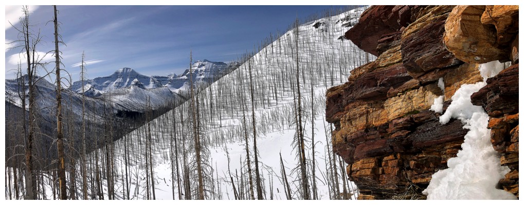
Nice contrast of tress and rock
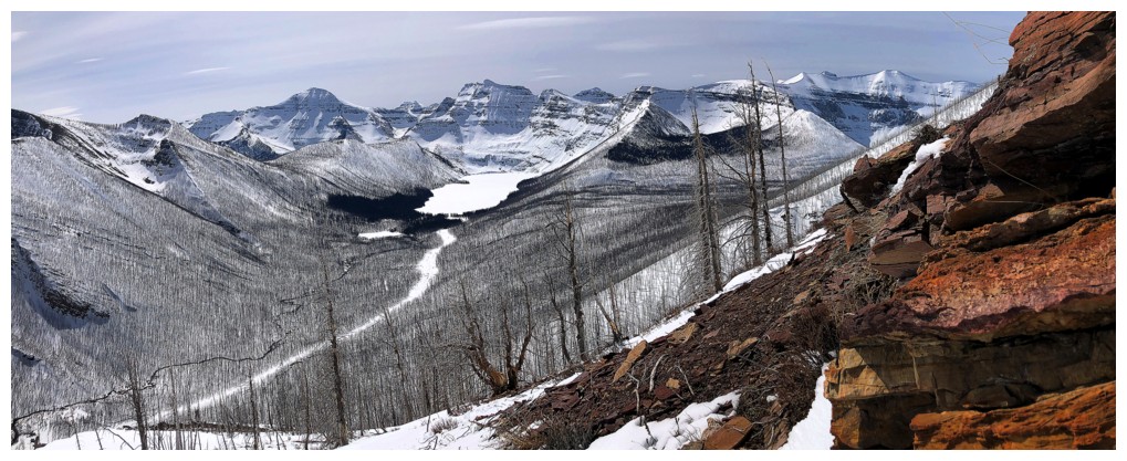
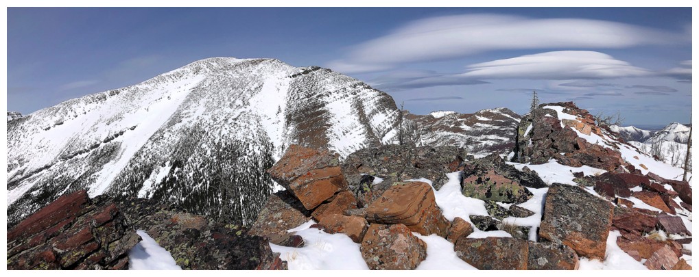
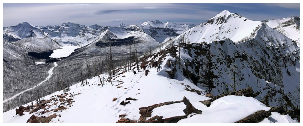
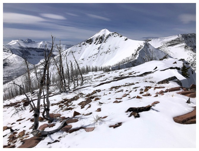
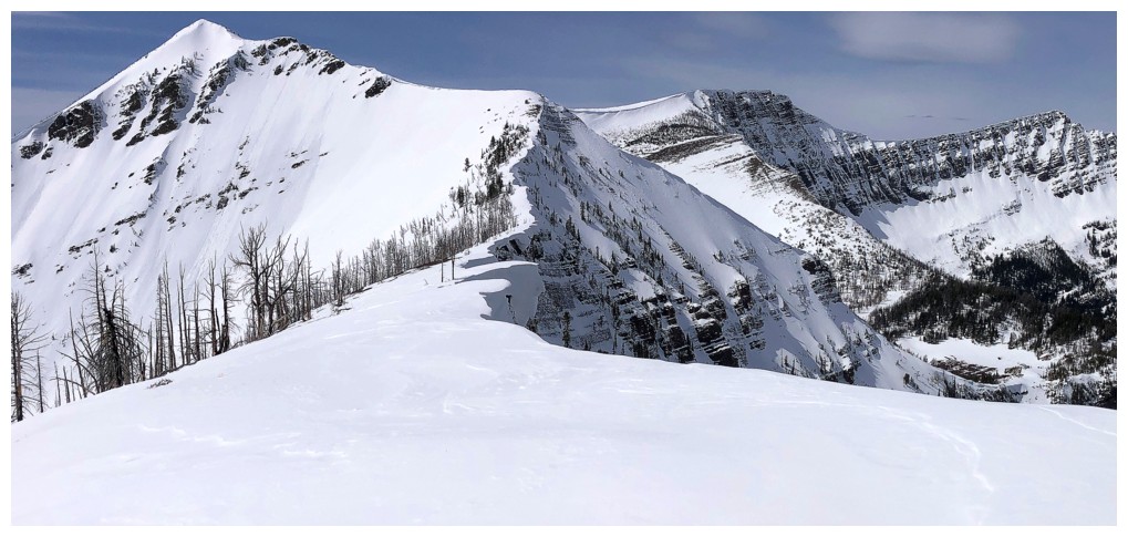
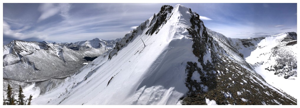
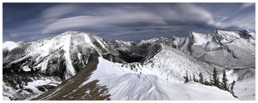
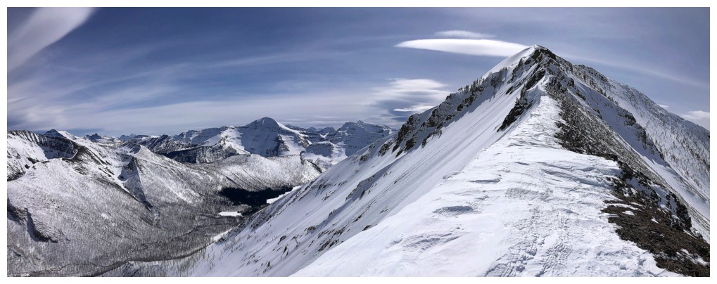
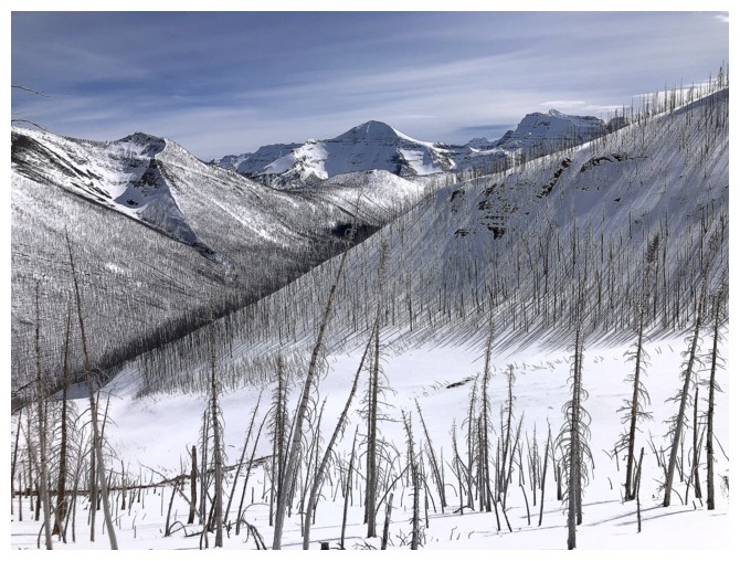
Here we go again with Buchanan Ridge (left) and Mount Carthew!
Mount Rowe
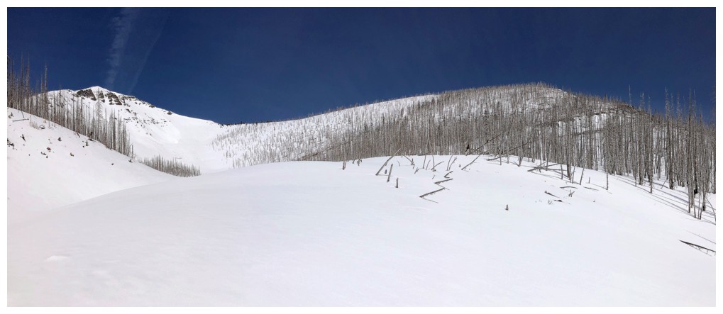
Trending over to the Rowe East side
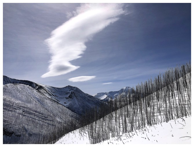
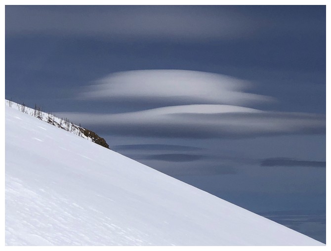
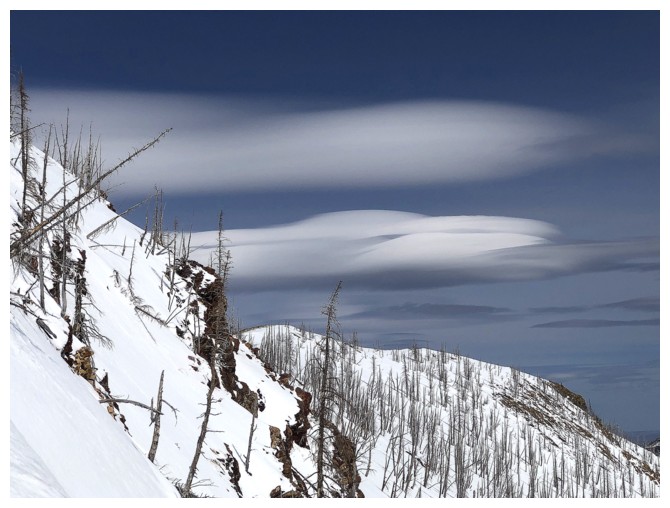
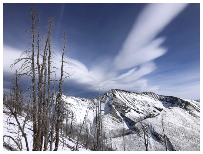
One of the interesting clouds that will become a feature of the trip
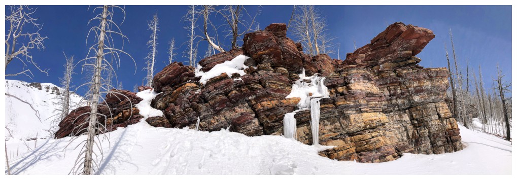
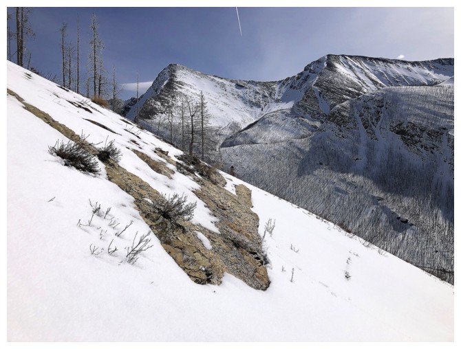
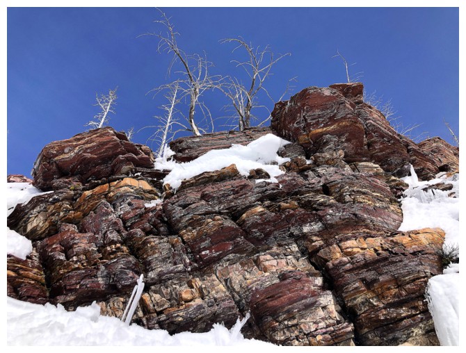
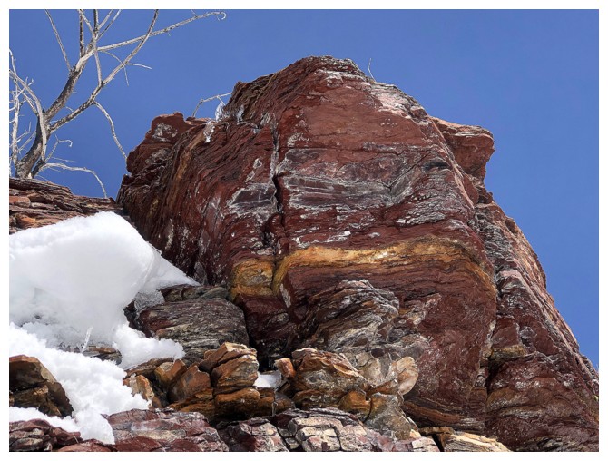
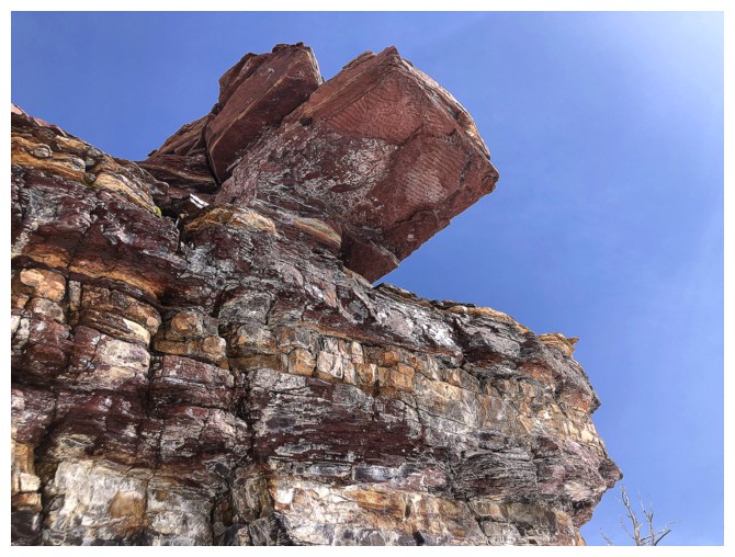
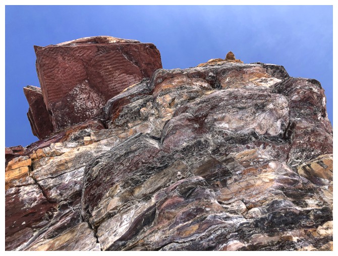
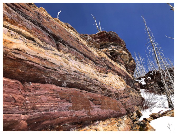
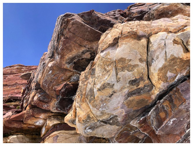
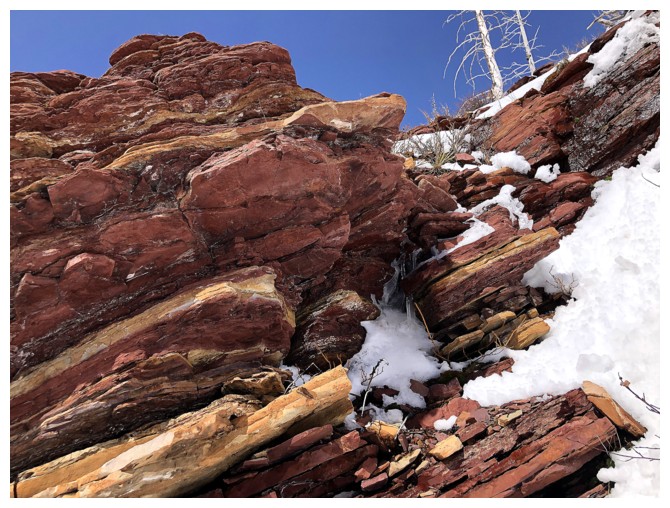
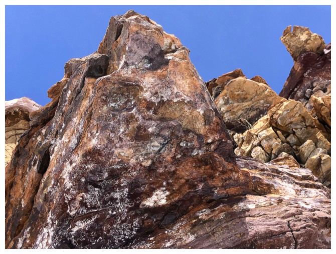
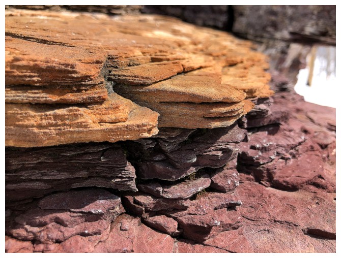
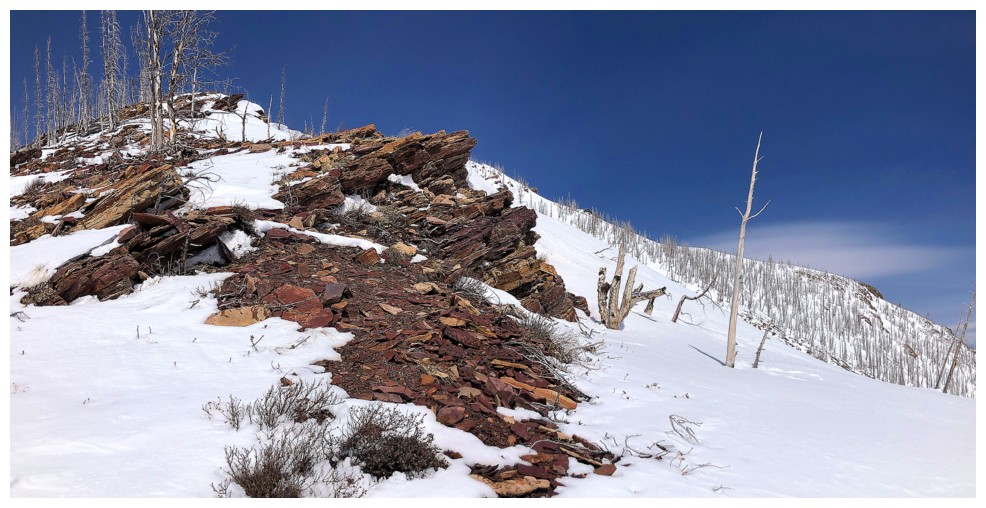
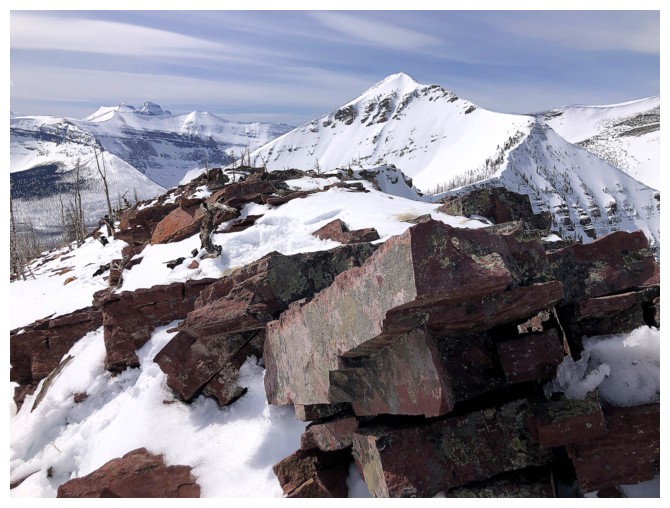
Gotta' check that rock band out
Good call!
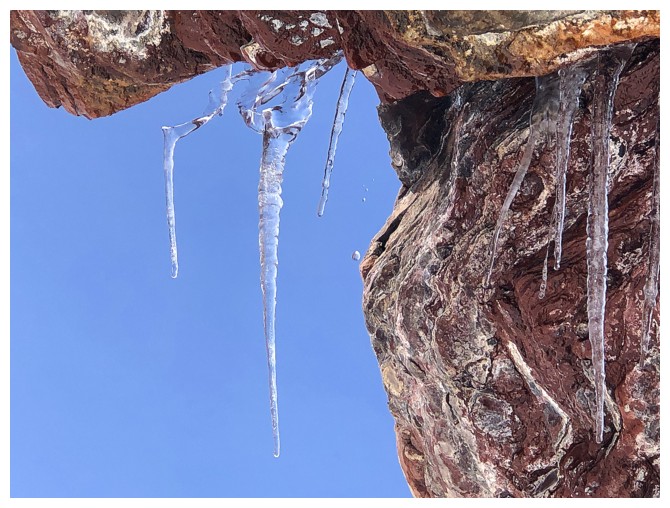
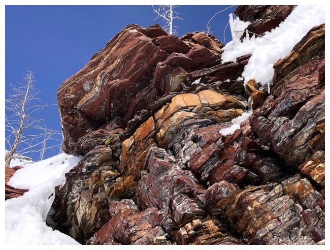
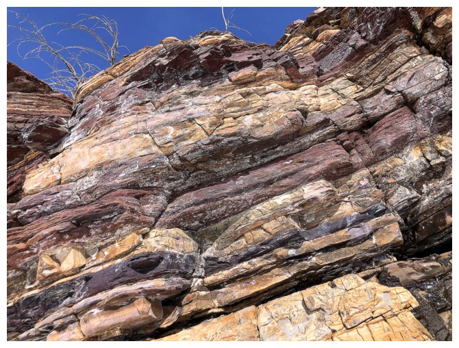
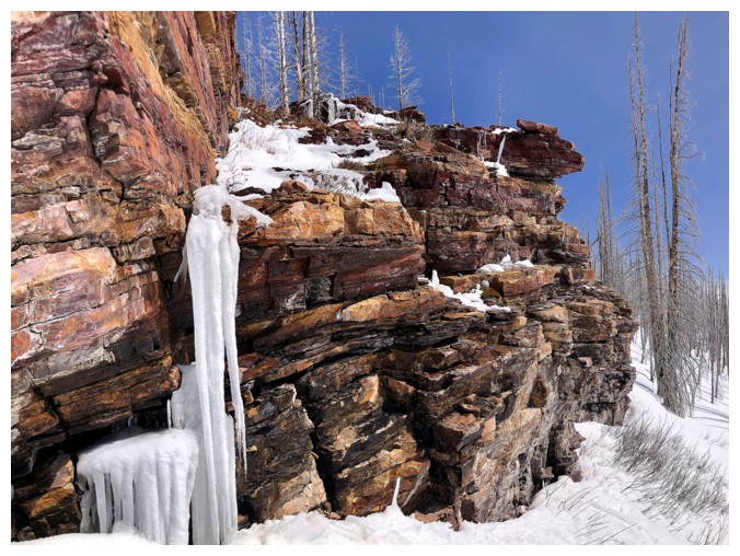
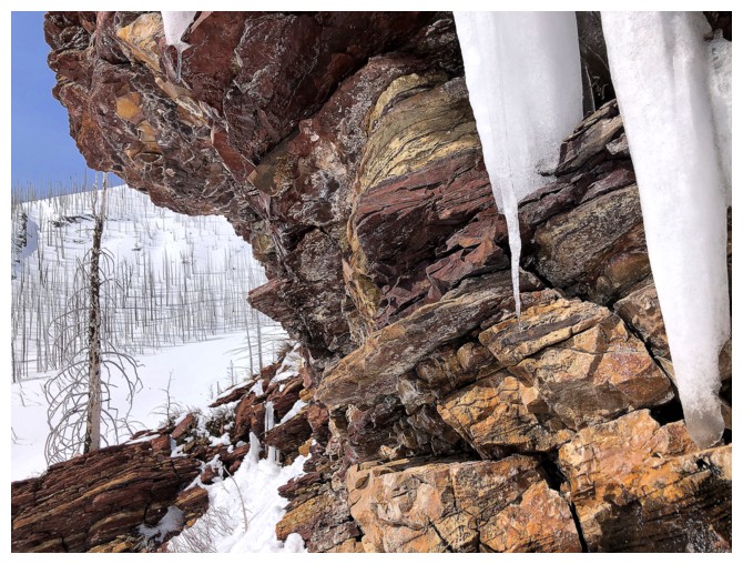
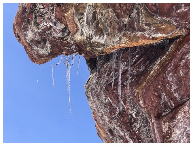
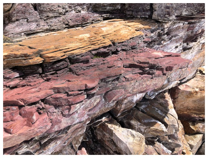
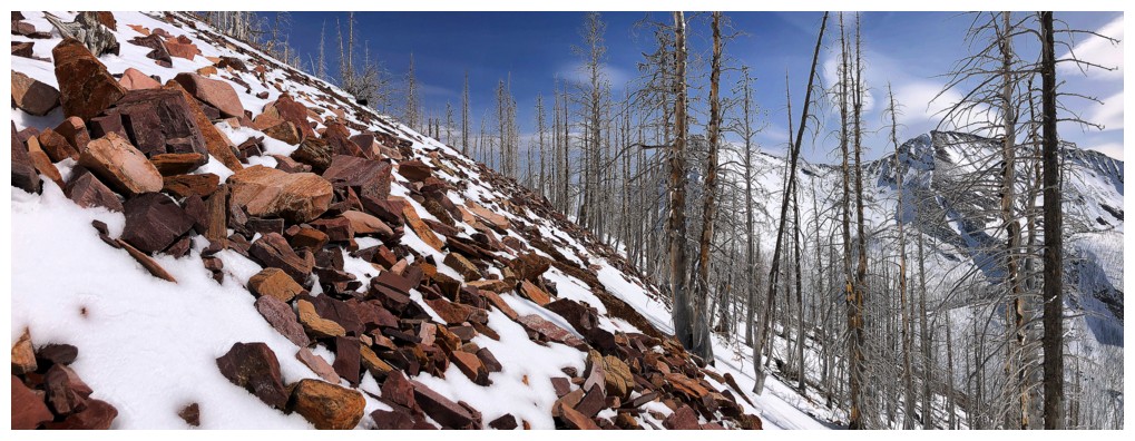
Traversing under the rock band definitely satiated my red argillite obsession
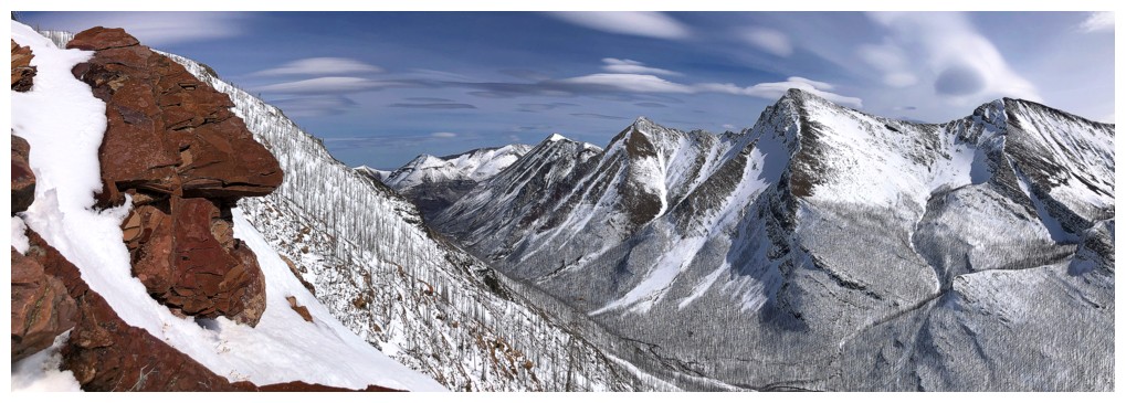
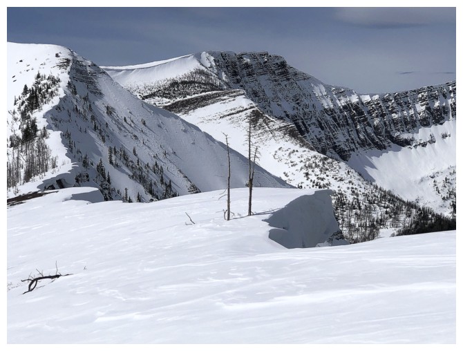
Mounts Chapman and Custer at the left
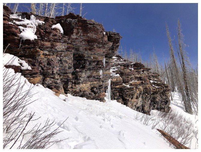
End of the rock band and ready to start going uphill
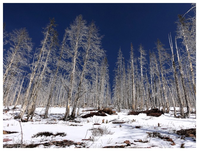
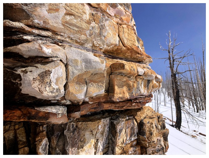
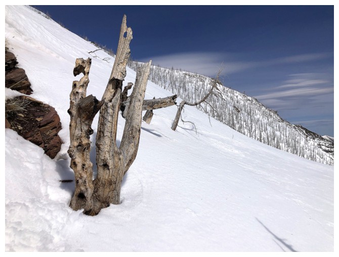
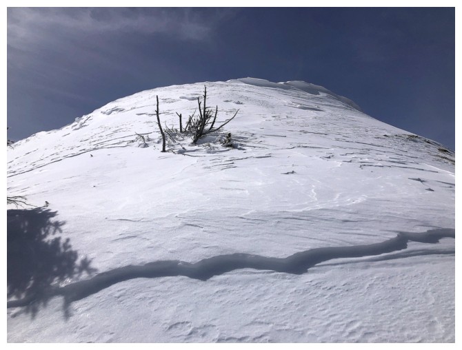
The Trees - 43 years old and still aging like the finest of wines!
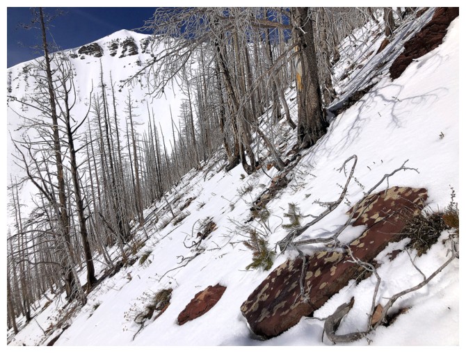
The terrain gets steeper
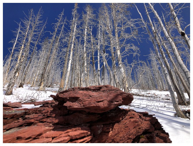
More red argillite
And then its gone
But not for long!
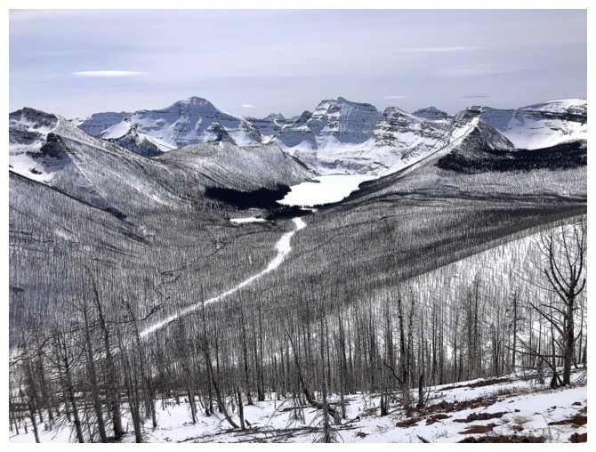
Cameron Lake and company
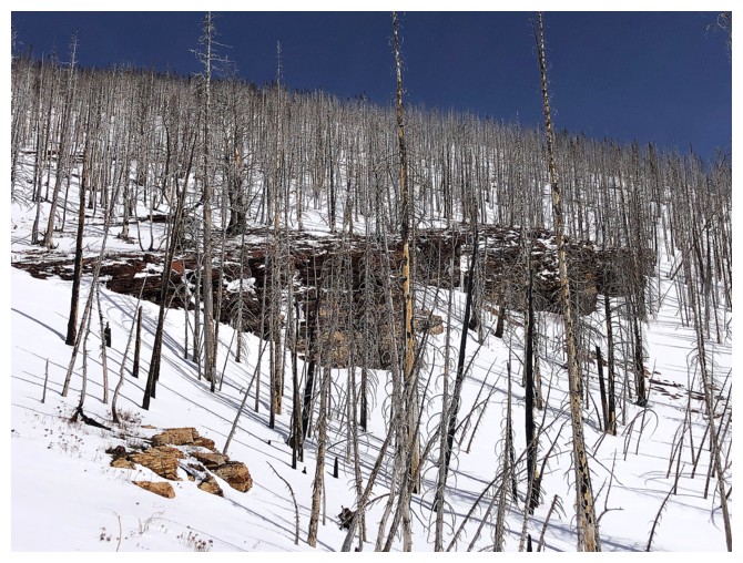
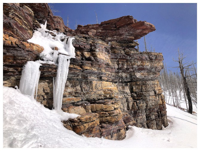
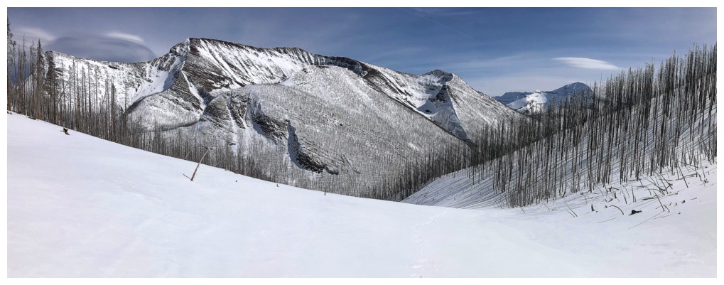
The feature rock band that caught my attention on my first ascent of this ridge
Reunited with The Fork
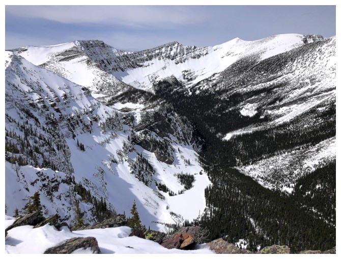
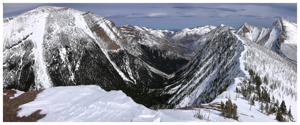
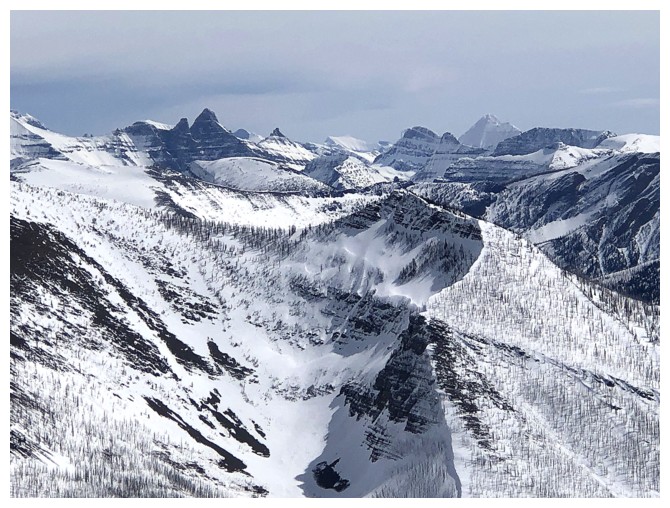
The view gets even better - too bad about the overcast skies
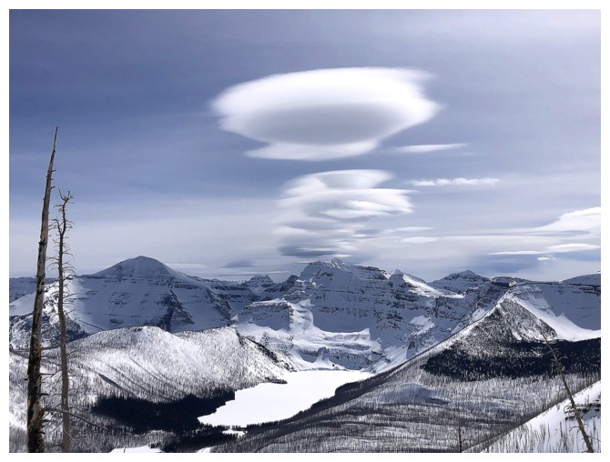
However, interesting clouds are forming to the east
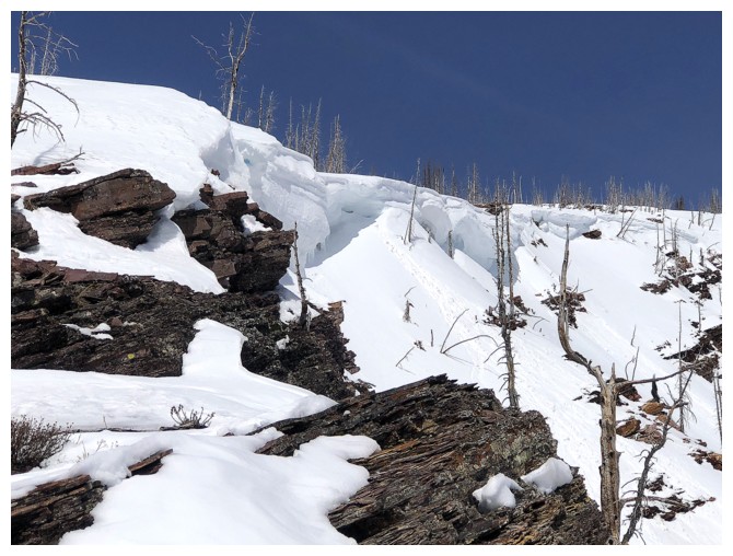
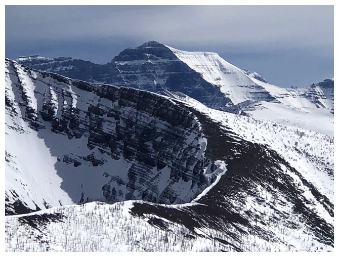
Big cornices still hanging out
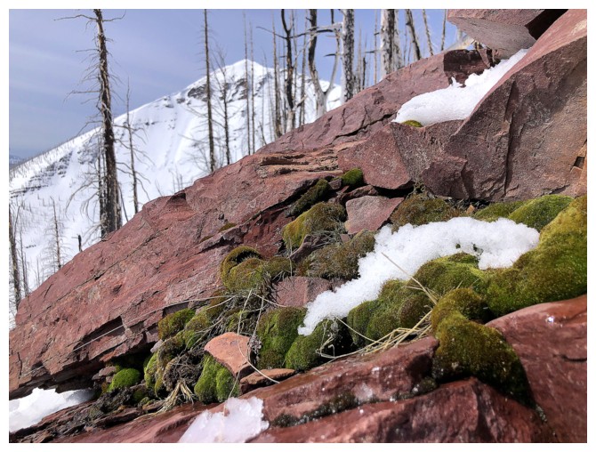
Nice mossy surprise
Cloud close-up
Clouds, mountain, and a random tree
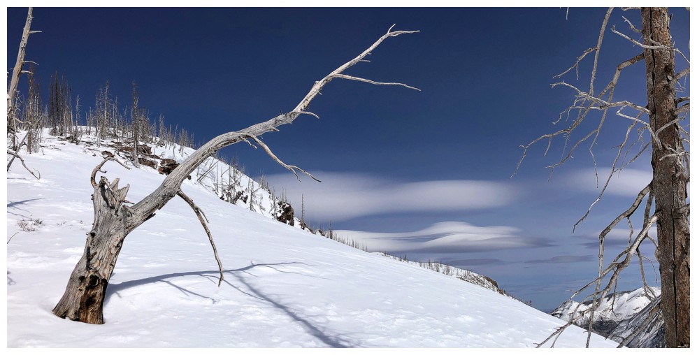
Another tree that sticks out
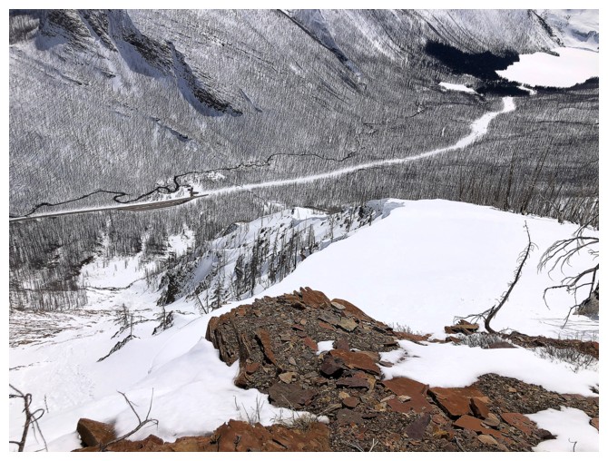
Looking down to the road, meandering Cameron Creek, and Cameron Lake
Another cloud close-up
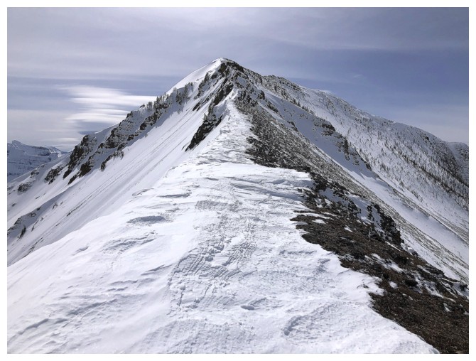
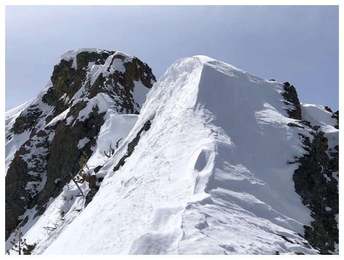
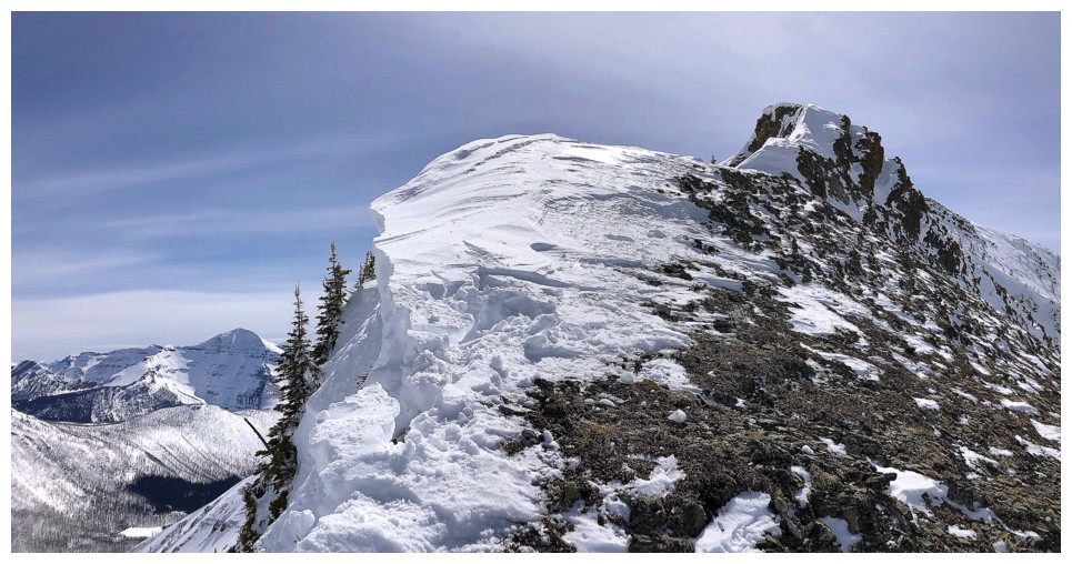
On the ridge and minutes away from the summit
The summit
View to the west
Looking down on Lower Rowe Lake
Buchanan Ridge and Mount Carthew again
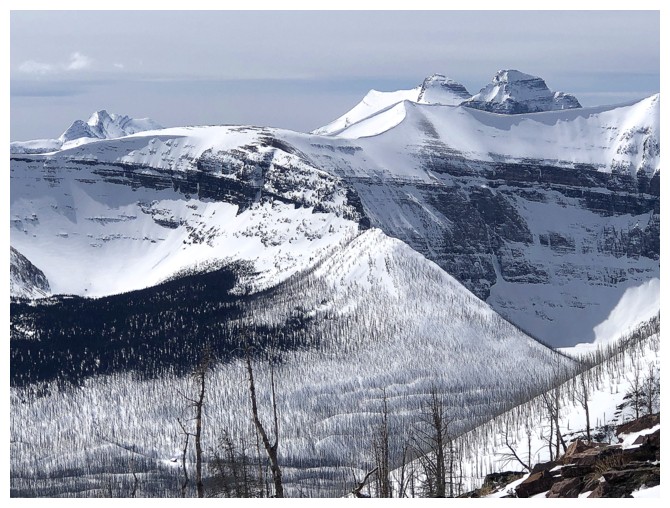
Mount Peabody at the left, Kintla and Kinnerly at the right, and part of Akamina Ridge in the foreground
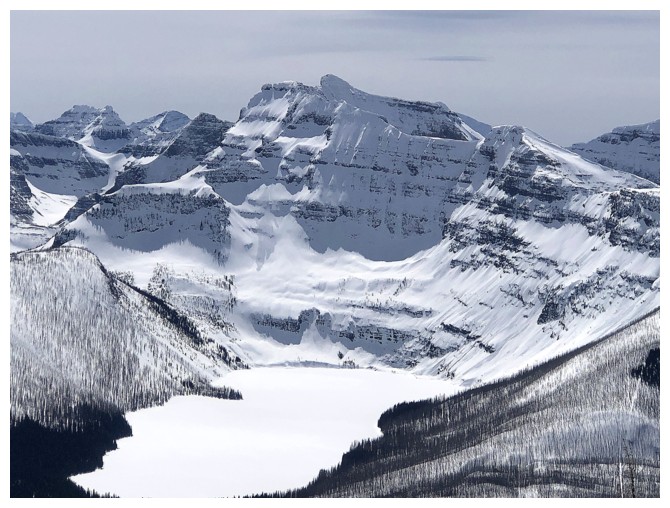
Mount Custer above Cameron Lake
Kintla and Kinnerly
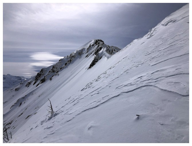
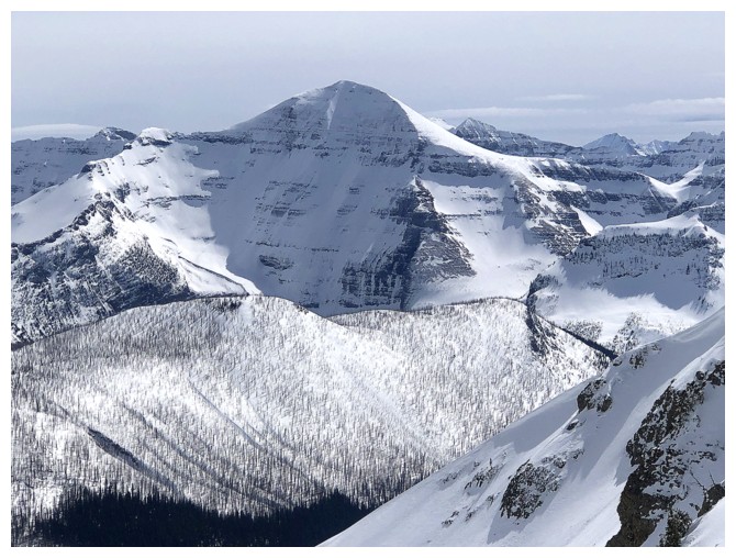
Heading towards Mount Rowe
It's a scenic and easy traverse, but cornice awareness is paramount!
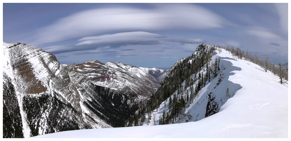
Cool clouds persist to the east
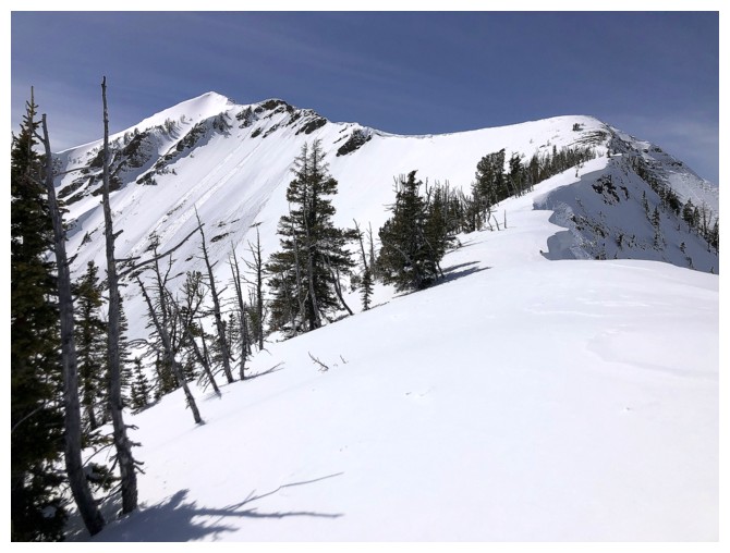
Looks easy from here
Felt the need for crampons and an ice axe here
Looking over to Rowe while ascending the steep section
On the ridge. I still had faint hopes here.
View behind
The largest Upper Rowe Lake
Hope is fading
End of the line. Stepping onto the snow here would have been an extremely questionable decision!
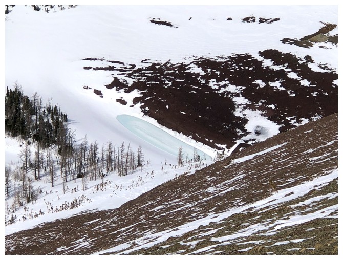
The smaller Upper Rowe Lake
View from the highest point I reached
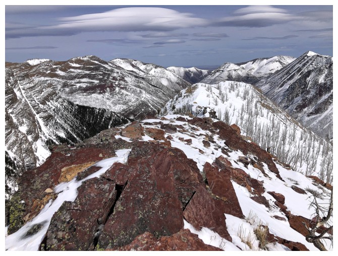
Lots of distinctive peaks in Glacier National Park, Montana
Mount Cleveland
Mount Chapman
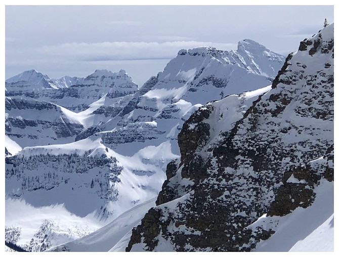
Another view of impressive Mount Custer (right)
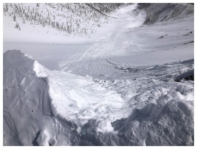
Looking down the slope that avalanched due to a cornice failure
Missing is the chunk of snow that started the slide
Parting look at the ridge to Rowe
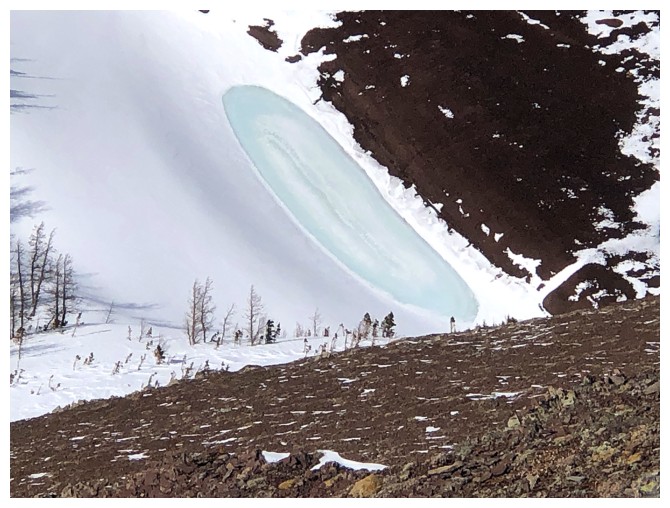
The smaller Upper Row Lake again - this lake varies dramatically in size at different times of the year: big; small
Another set of dramatic clouds
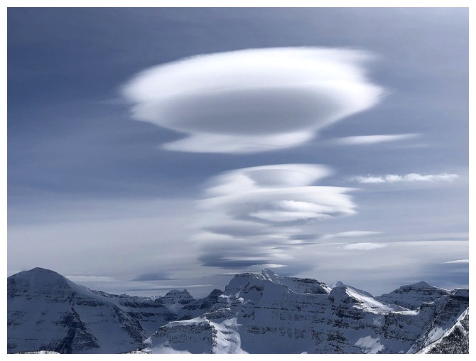
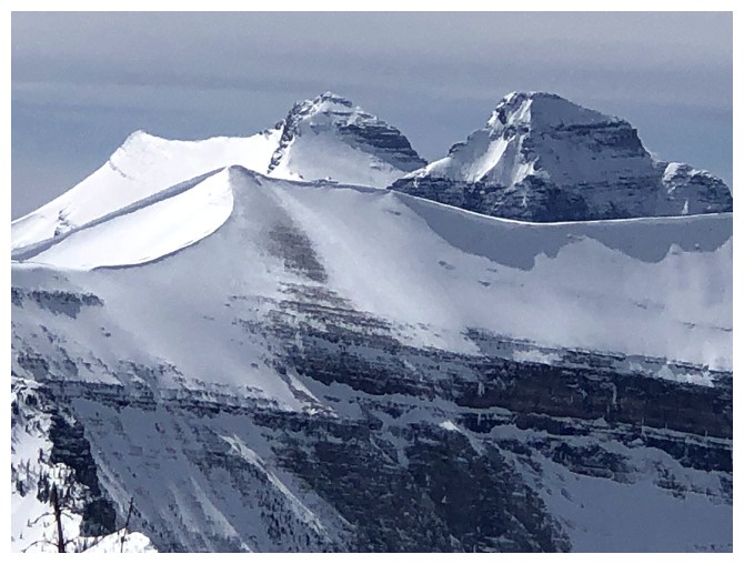
Lenticular clouds over Custer
Same as above
The length of the avalanche is now visible
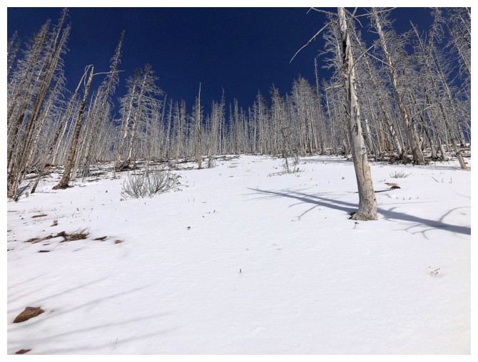
Staying in the lightly treed terrain just in case
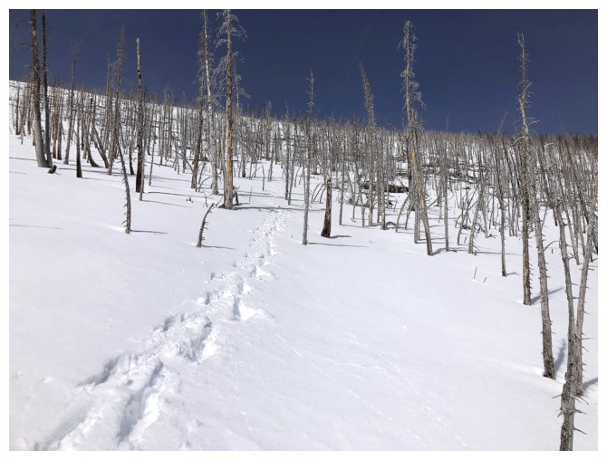
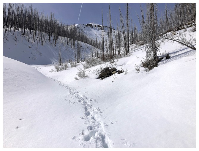
My down track
Gentler terrain means I can go into the drainage
The snow was still firm enough to avoid wearing snowshoes, but that didn't last

Carthew Minor-Minor
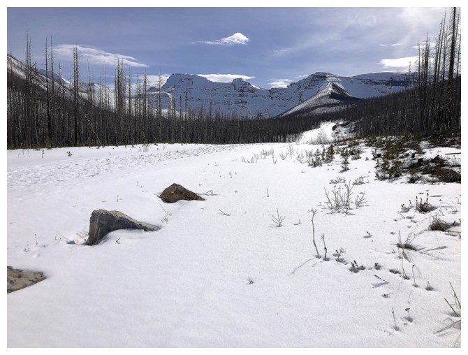
Back down to the road

The After of the Before/After shot
The End
LOG