Cinch Hill and Bridle Peak
March 16,
2019
Mountain
height: 2079 m and 2180 m
Elevation gain: approximately 350 m
Round-trip
time: 3:40
Solo snowshoe.
The ride continues
to re-ascend the northeastern outliers of the Castle’s front range peaks, but
in winter conditions. Inspired by Dave McMurray’s recent ascents of the
outliers of Pincher Ridge, which he appropriately named Cinch
Hill and Bridle Peak, I set off to do the same. The last time I stood atop
these peaks was part of an ascent of the northeast ridge of Pincher Ridge,
way back in 2006.
Following a similar route to the one which Dave
took, I made my way up slopes of varying steepness. The supportiveness of the
snow also varied considerably, from 100% support to zero.
Approaching the summit of Cinch Hill, I decided
to take a quick detour over to the south side of the ridge, with the faint hope
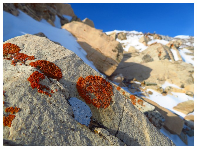
that some the outrageously colourful rock we had encountered in 2006 might be visible. To my utter delight a small
section directly below the ridge was and a platform of snow provided to perfect
spot to take it all in. Needless to say, an extended stay at this location
followed.
After reaching the summit of Cinch Hill, the next distraction took me over to the north
side of Cinch, this time in the form of wind-sculpted snow and good views of
two of my favourites: Victoria Ridge and Prairie Bluff. At this point the weather was starting to turn
a little (ie. the sky was no longer perfectly blue!) and so I turned my
attention to reaching the summit of Bridle Peak. It was easily reached
and very satisfying. The descent was likewise an easy affair.
Great day out and thanks to Dave for this new route.
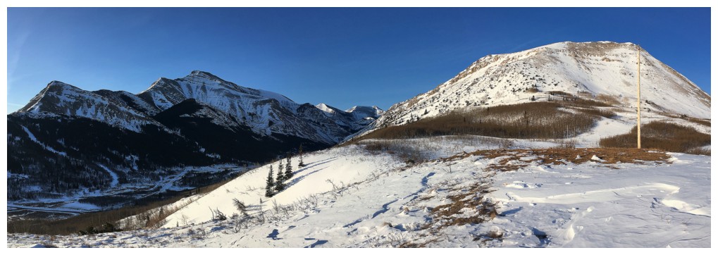
 Cinch Hill and Bridle Peak can be seen between the more imposing forms of Pincher Ridge (left) and Victoria Peak (right)
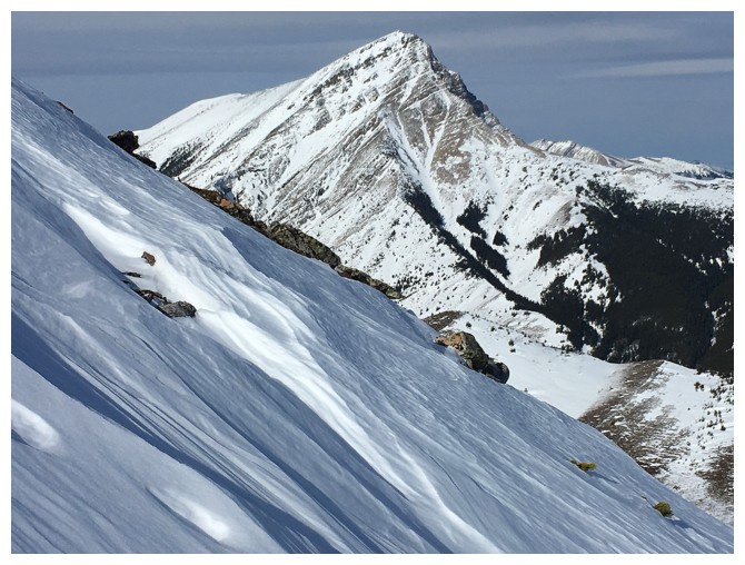
Closer look at the challenging northeast ridge of Pincher Ridge
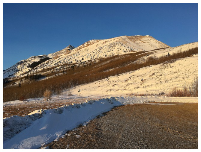
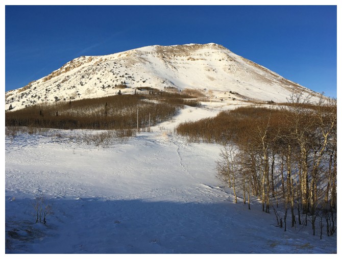
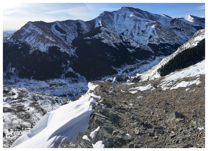
Cinch Hill and the route up are clearly visible from the parking area
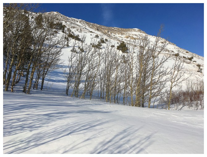
I followed deer tracks up through the trees ahead
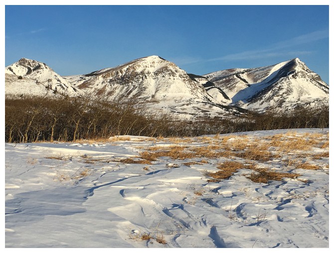
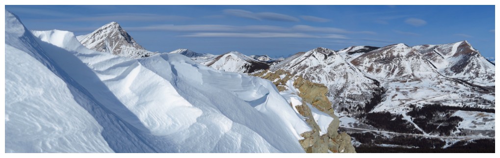
Prairie Bluff and its glorious outliers!
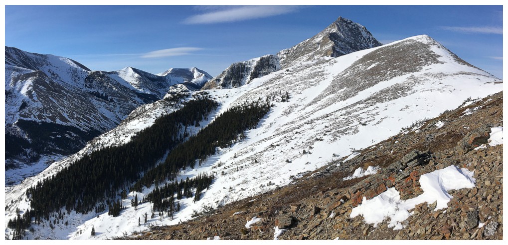
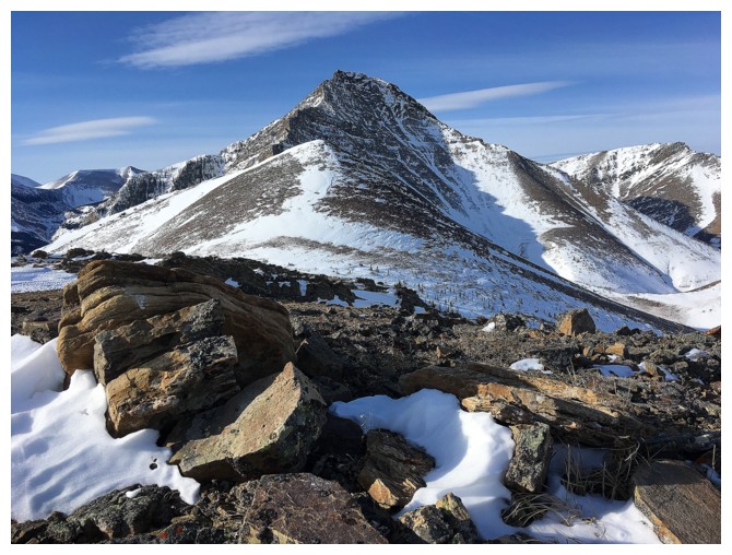
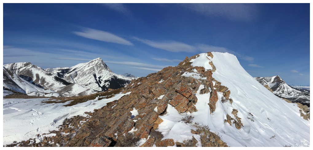
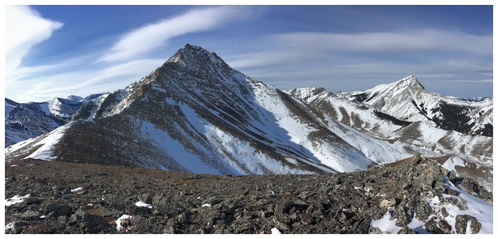
Cinch Hill and the northeast ridge of Drywood Mountain at the left
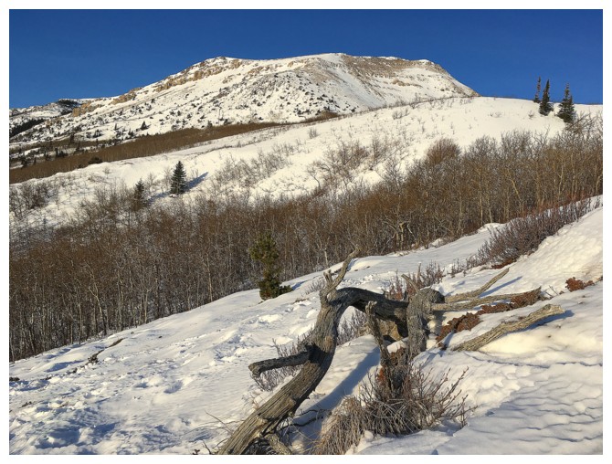
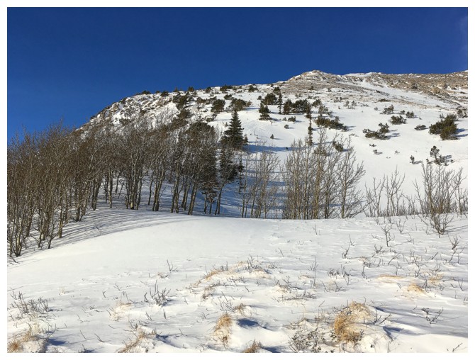
The left side of the Hill offers an easy route up
Right up here
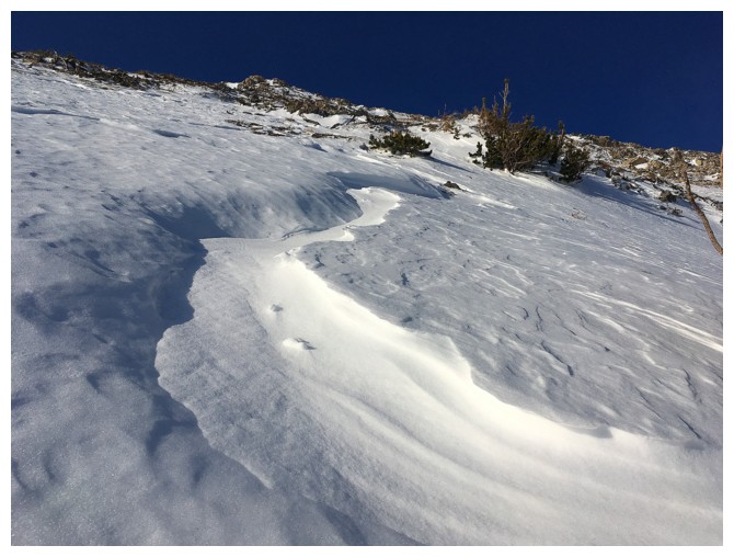
As inviting as this looked, the postholing was severe
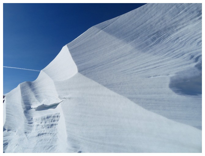
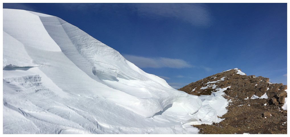
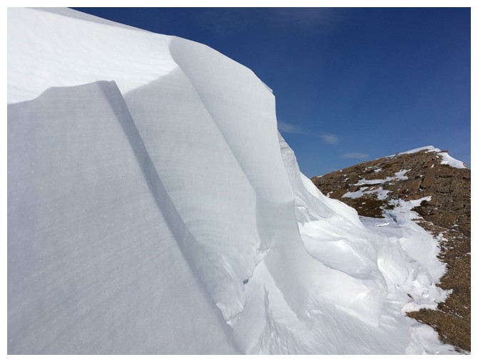
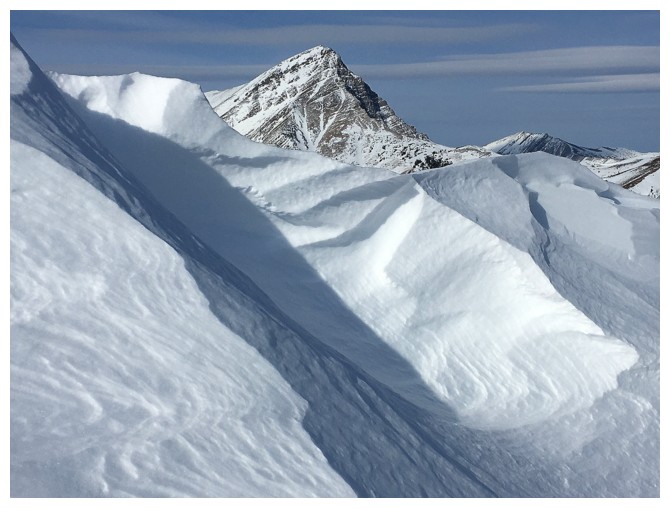
The wind-sculpted snow usually means more supportive terrain and it was
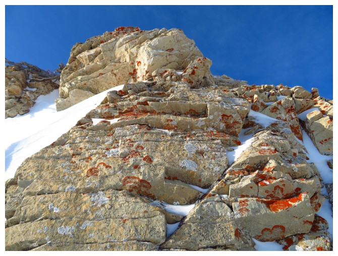
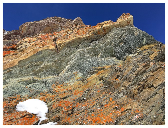
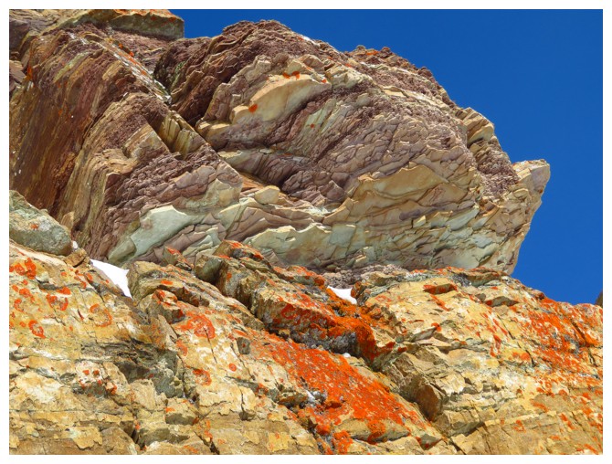
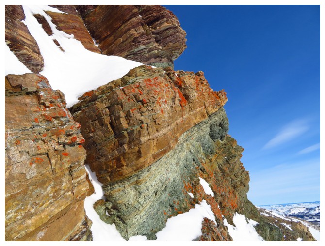
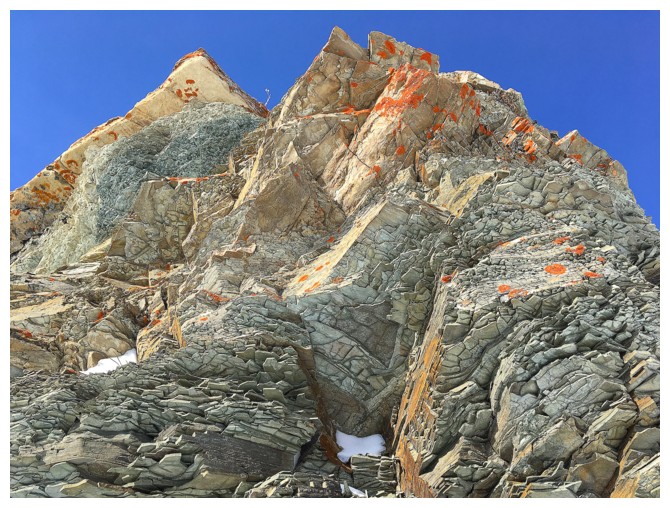
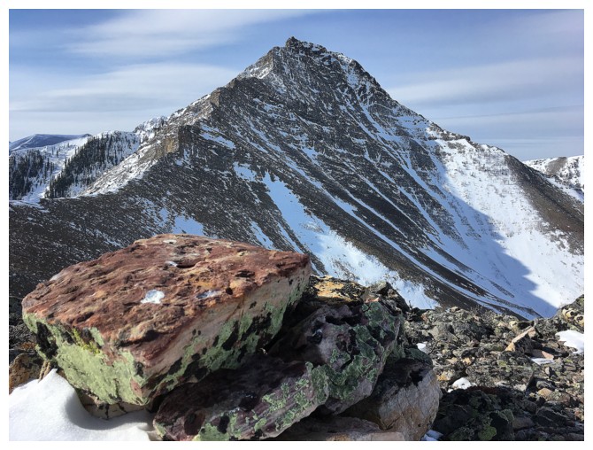
The east side of Cinch has a terrific section of light coloured rock, with some lichen
Same as above
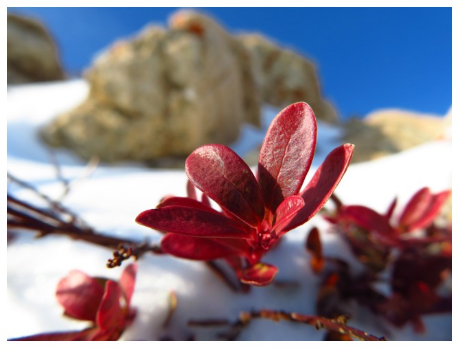
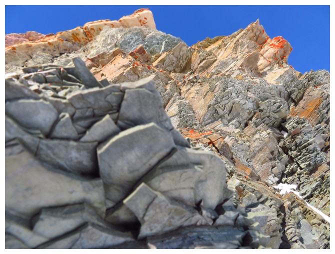
There were other small points of interest too
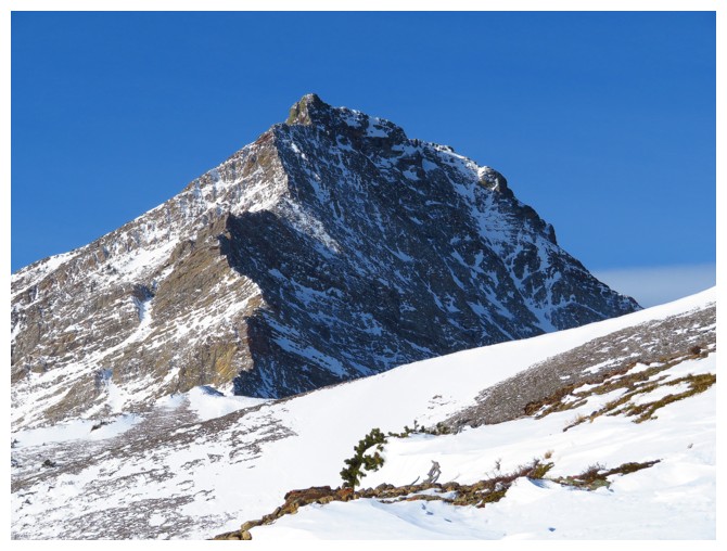
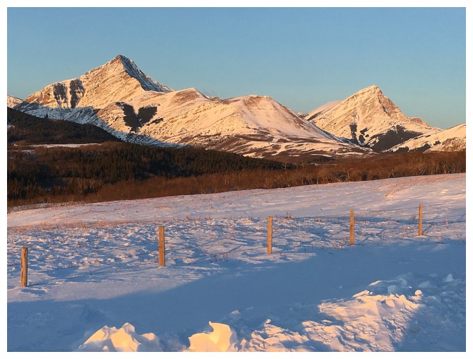
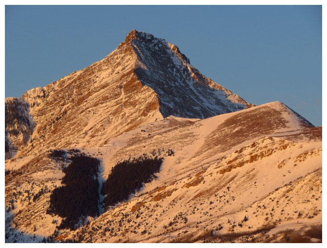
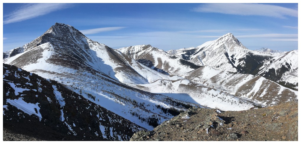
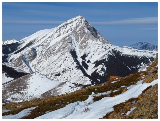
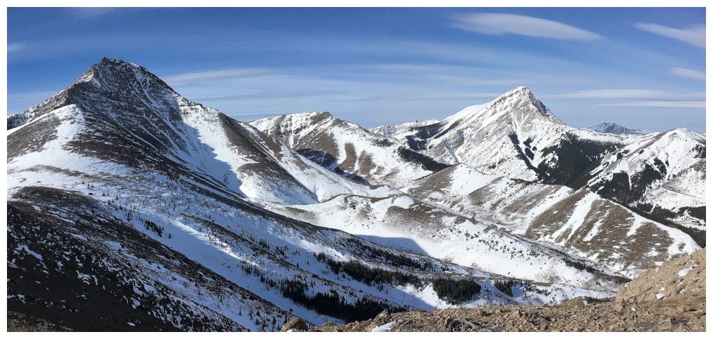
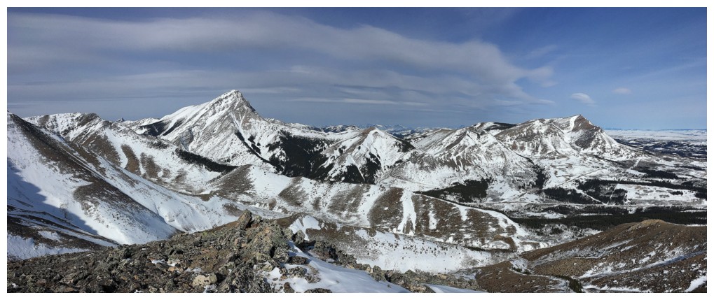
Pincher Ridge
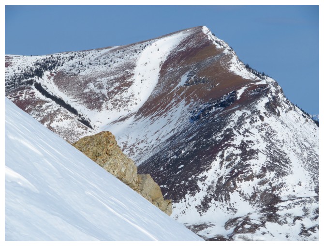
Drywood Mountain. Other routes to the summit exist from this side.
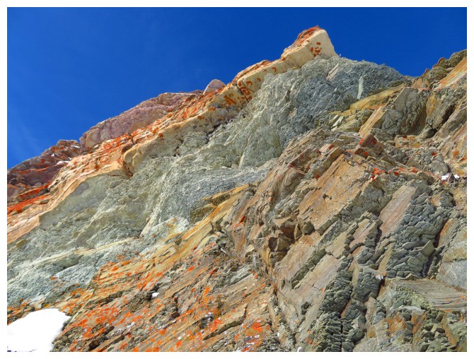
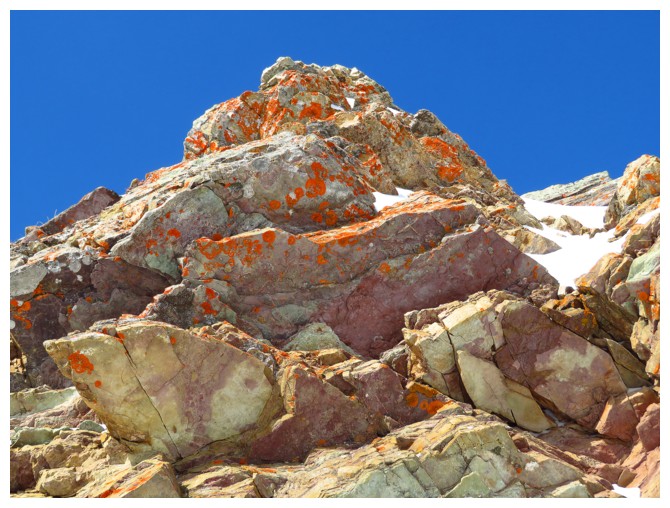
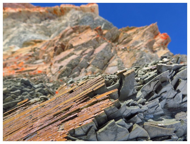
In 2006, I pronounced this rock band to be one of my favourite in the Canadian Rockies. That still holds true 13 years later.
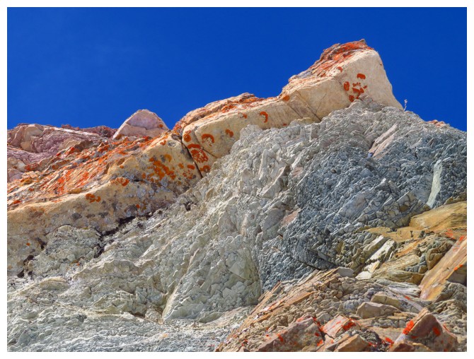
Remarkable colours
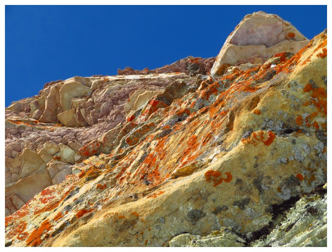
Leaving the rock
band and heading towards Cinch Hill (out of the photo at the right).
The peak in the photo (at the right) is Bridle
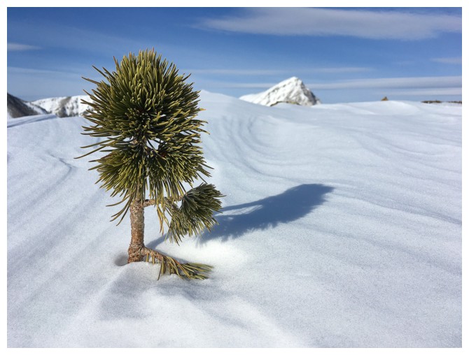
The top of a tree pokes through the snow
At the summit of Cinch Hill
View from the north side of Cinch Hill
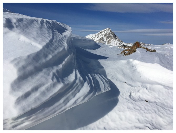
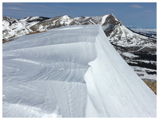
Here comes the wind-sculpted snow
The obligatory close-up of the main summit of Prairie Bluff
The obligatory close-up of Victoria Peak. Mount Gladstone at the distant right.
This minor outcrop on the north side made for the nice little viewpoint
There's the view
Another look at Prairie Bluff
And one of Victoria Peak, behind the snow
Couldn't resist one more look at Victoria; she's a beaut!
Finally at the summit of Bridle Peak
Summit view to the north
Summit view to the west
The End