Mount Lineham III
June 29, 2021
Mountain height: 2728 m
Elevation gain: approximately 1500
m
Round-trip time: 7 hours
Solo scramble.
Hiking the amazing Lineham Ridge Trail, post
Kenow fire, was one of my last orders of business for redoing all the hiking trails
in Waterton National Park. The skies were a little hazy but there’d have to be
a full-on whiteout to ruin this trip. Views of the beautiful Lineham Lakes encircled
by colourful mounts Blakiston, Hawkins, and Lineham are some of the best views you will ever see in the Rockies. I
couldn’t resist a third run up Mount Lineham to finish the trip.
A day of stunning scenery and views.
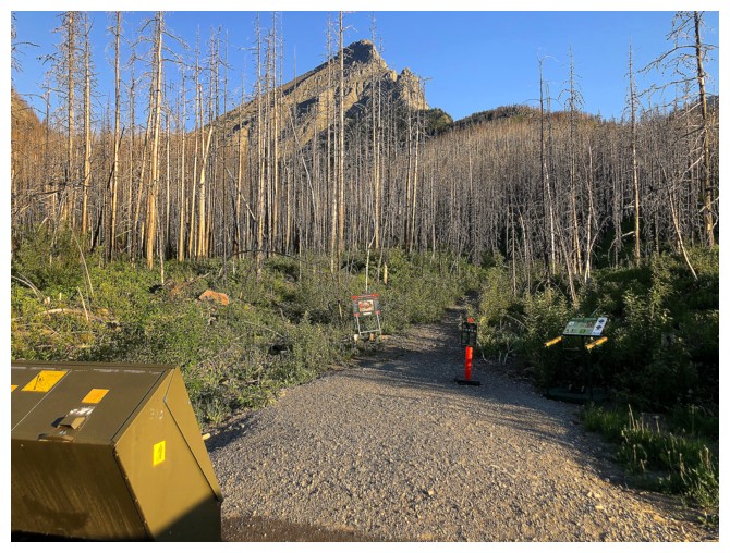
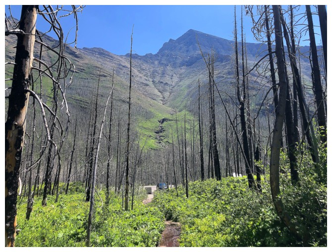
Mount Lineham is visible from the parking lot
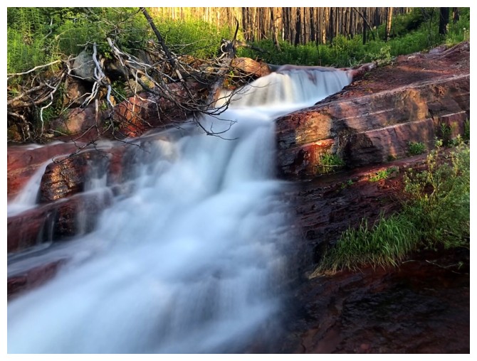
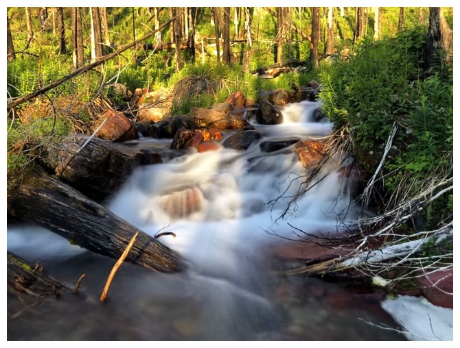
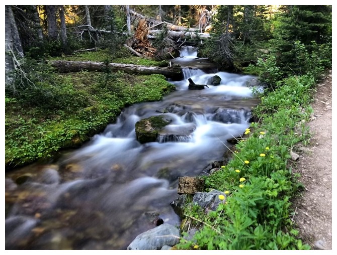
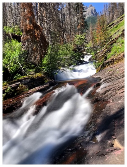
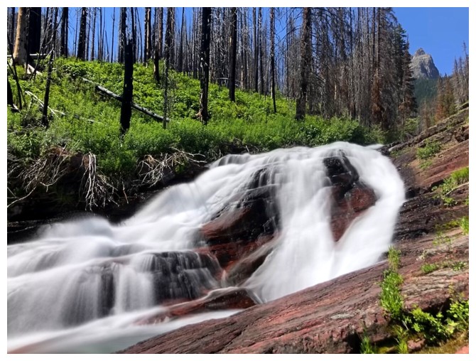
About 300 m along is an obligatory stop at a beautiful cascade
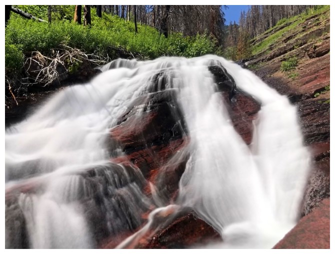
Same as above
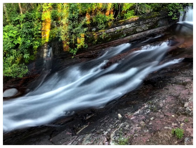
Same as above
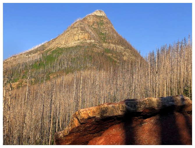
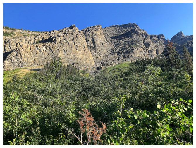
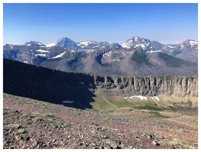
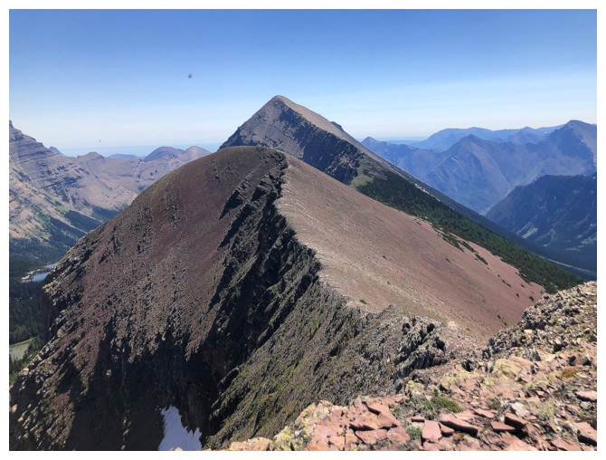
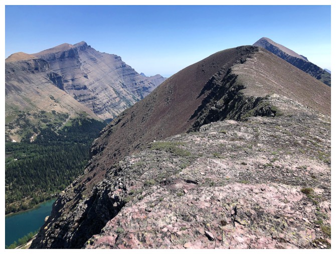
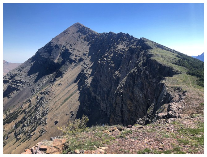
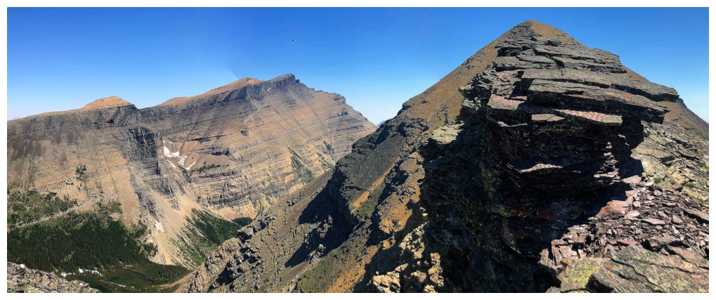
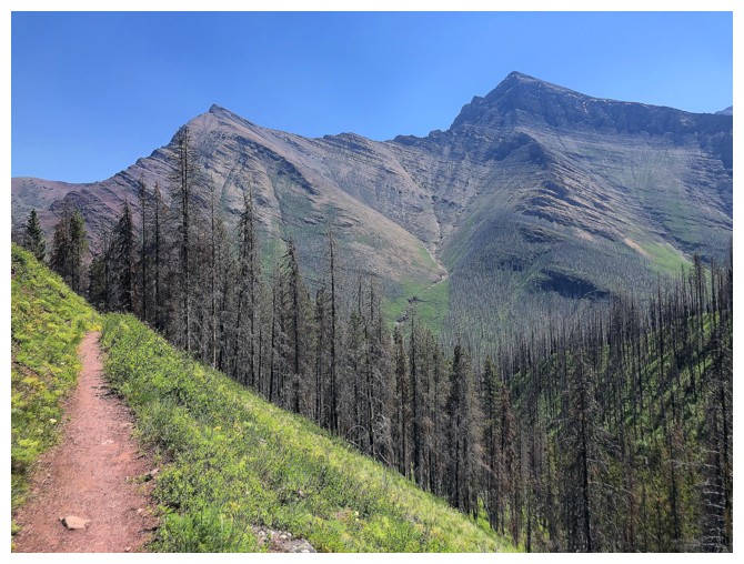
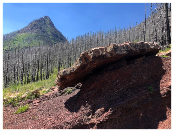
The east end of Mount Rowe
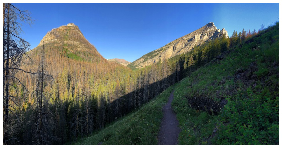
Rowe and Lineham
There is a 5.6 climbing route up Lineham from here
More water scenery along the trail
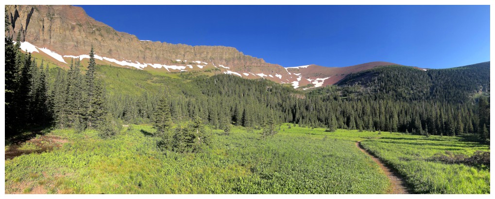
Rowe Meadows and the left to right route up to Lineham Ridge
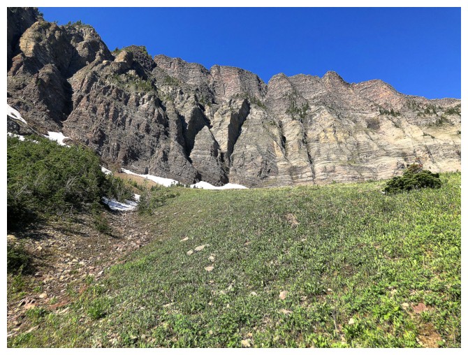
Steep walls above the route
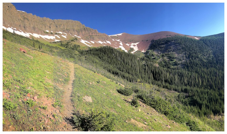
Great trail all the way
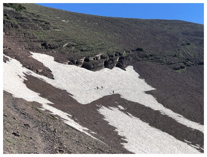
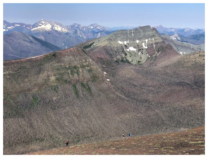
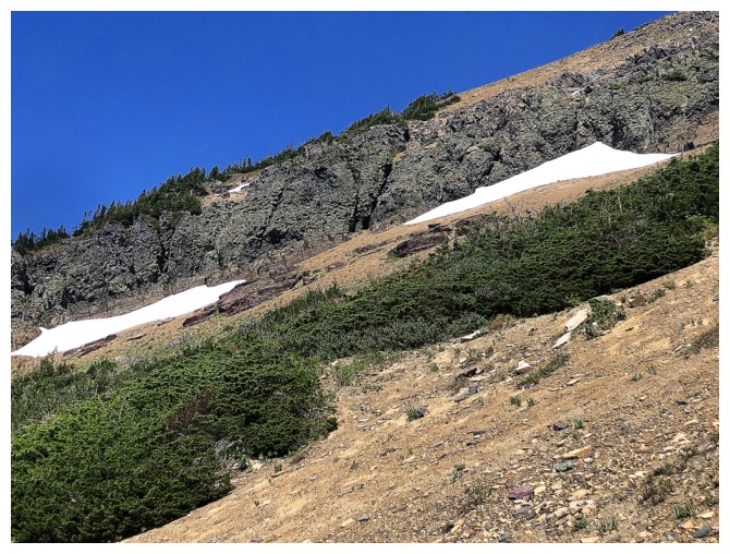
Several hikers make their way across a snow parch that often persists into mid-July
Across the patch
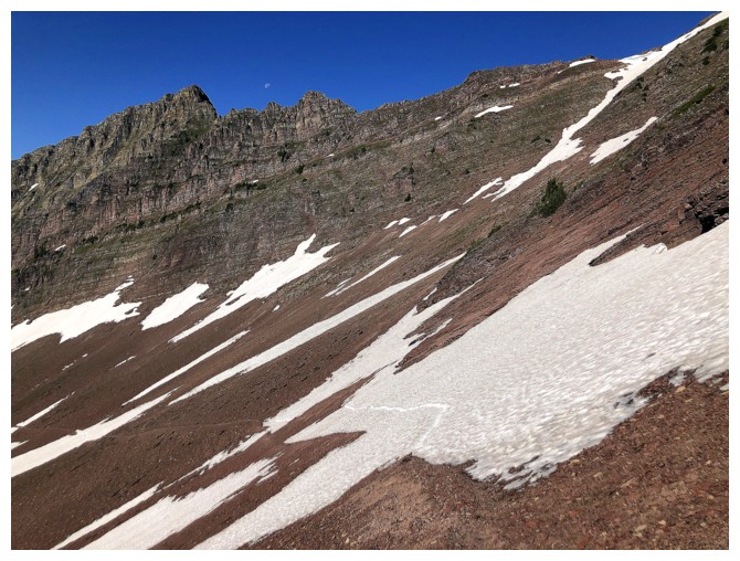
Approaching the col
View near the col. If you stick to the trail, you'll miss this; if you follow the ridge you'll get it.
Same with this one
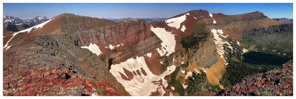
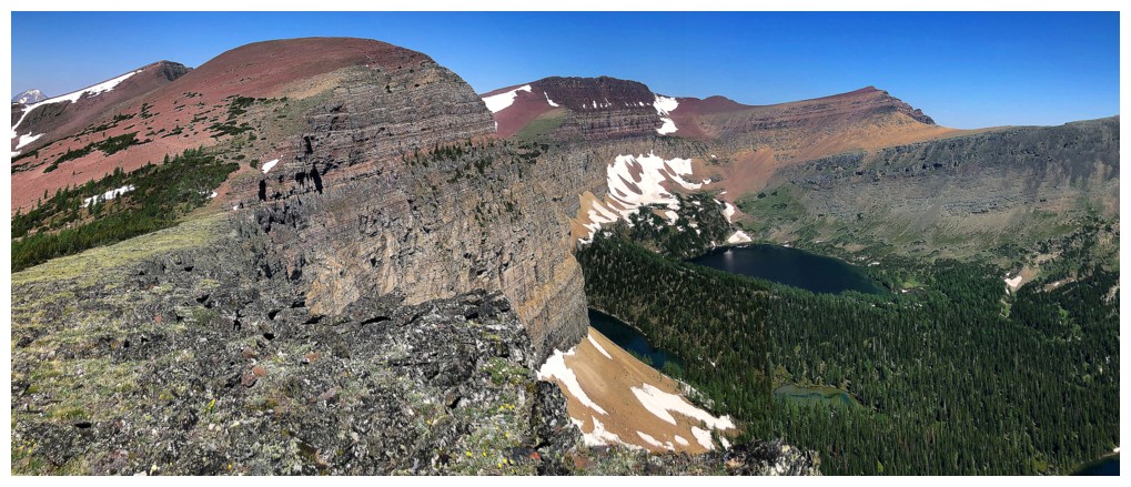
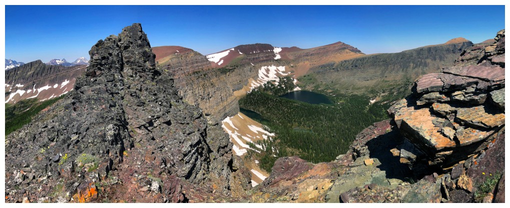
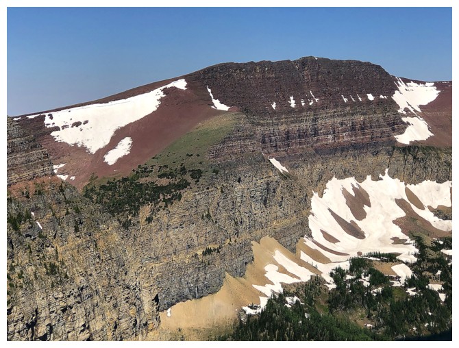
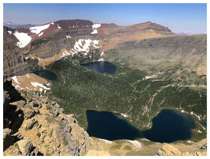
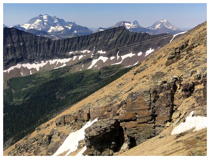
The red's on Lineham Ridge are stunning
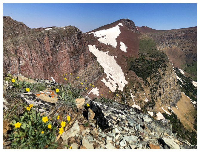
Didn't see many wildflowers so might as take advantage photographing the few I did encounter
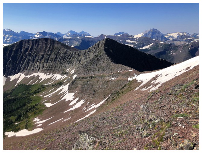
The infamous "Peak of Despair"
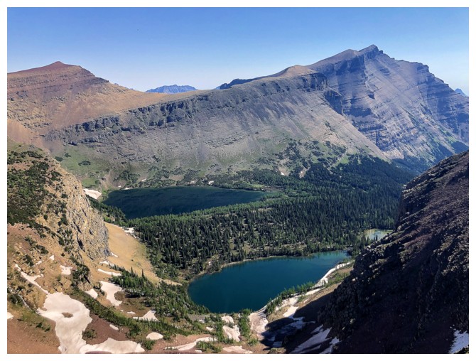
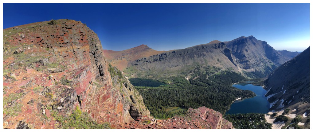
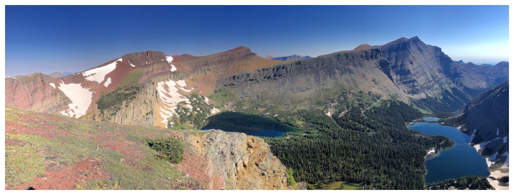
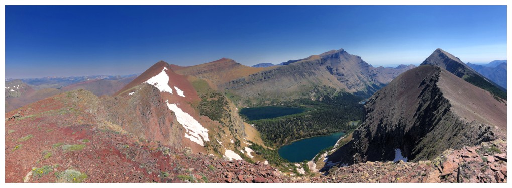
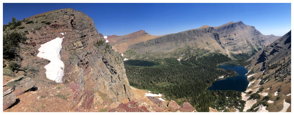
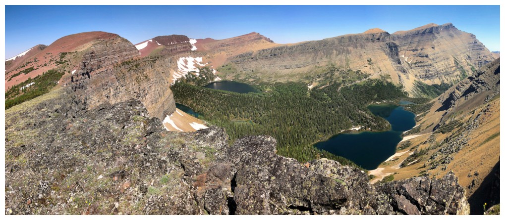
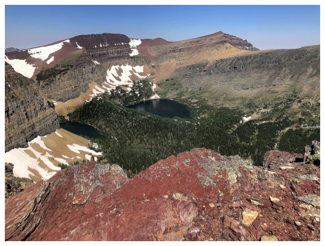
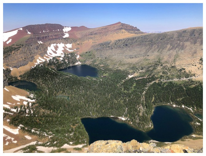
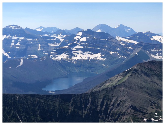
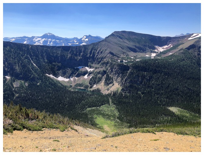
The lakes are going to be the focus of the remainder of the trip
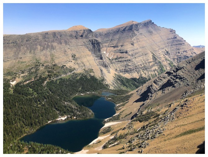
Mount Hawkins at the right
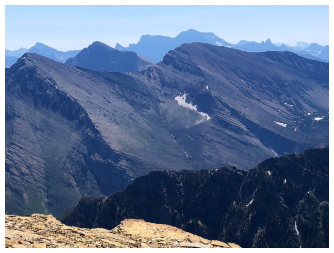
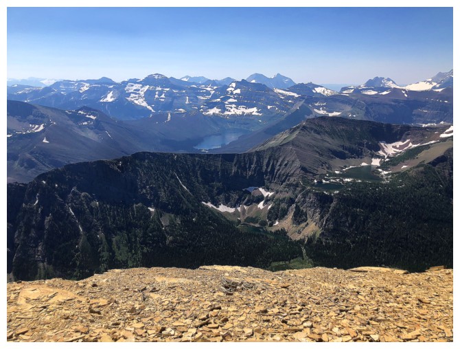
View into Glacier National Park, Montana
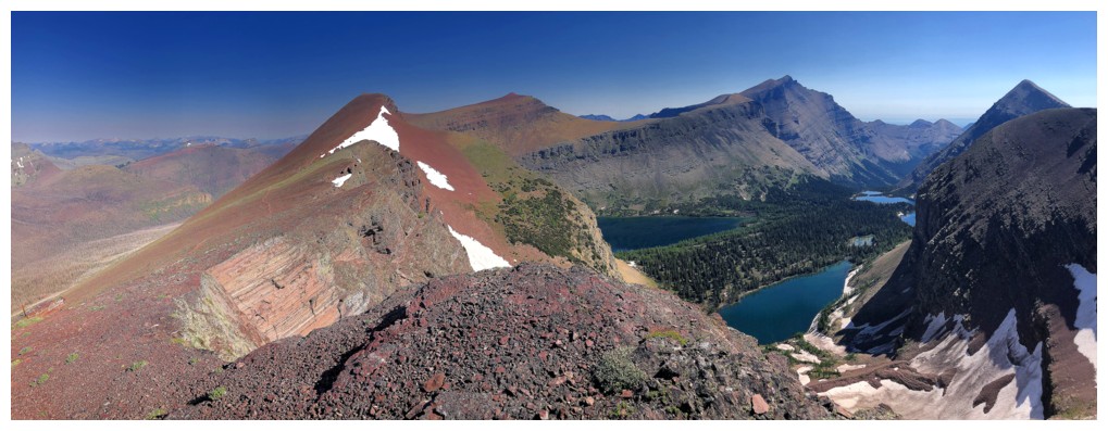
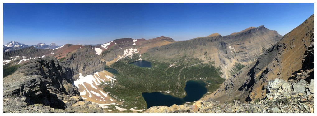
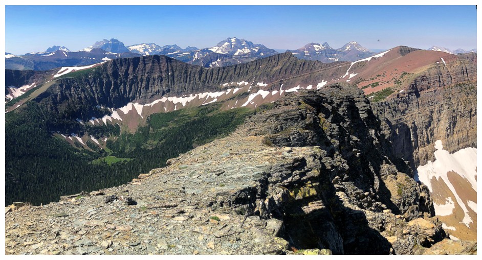
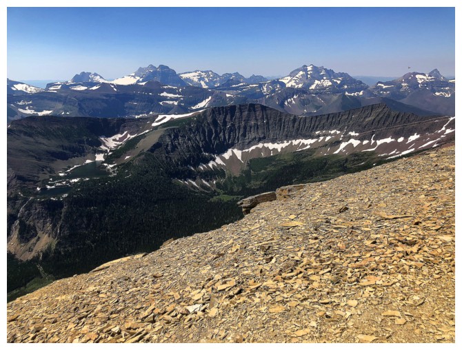
One of innumerable spell-binding views along the ridge
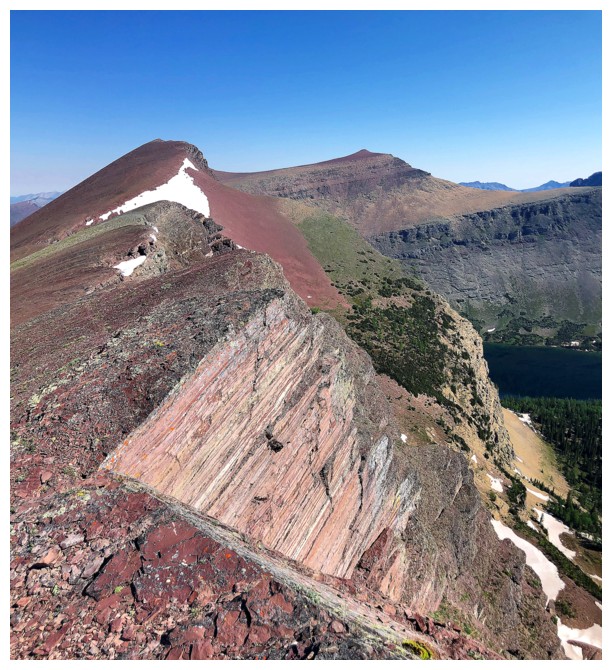
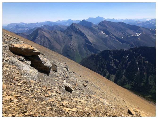
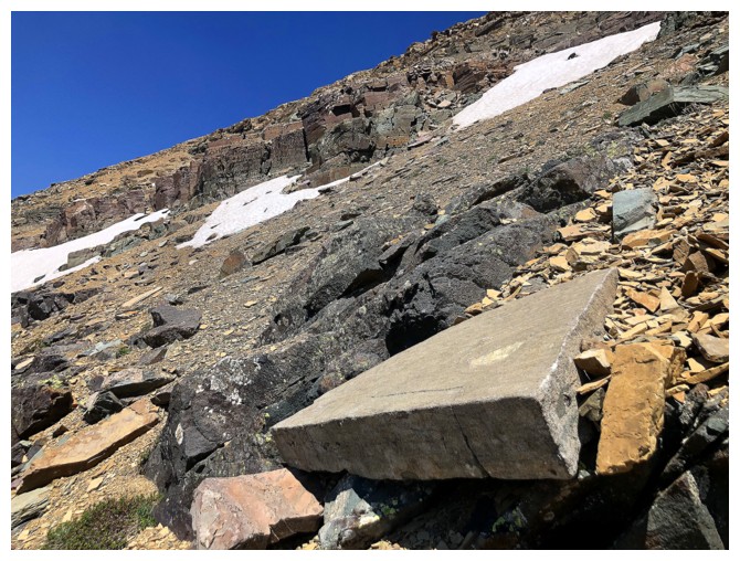
Cool layered slab
Long Knife Peak
Kinnerly and Kintla often look like one mountain
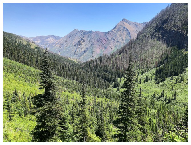
Festubert Mountain - a long day

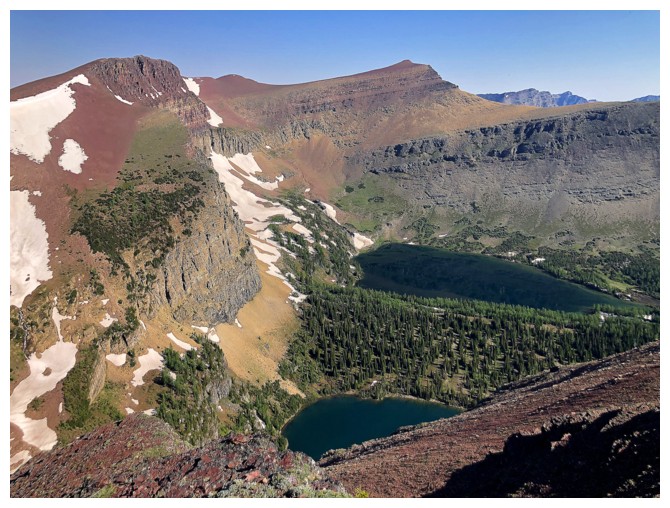
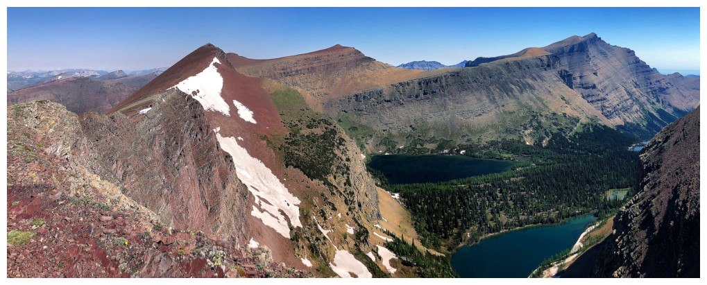
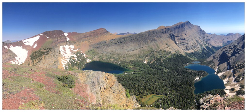
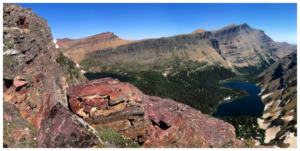
All the lakes. This is about as far along the ridge I got before turning around.
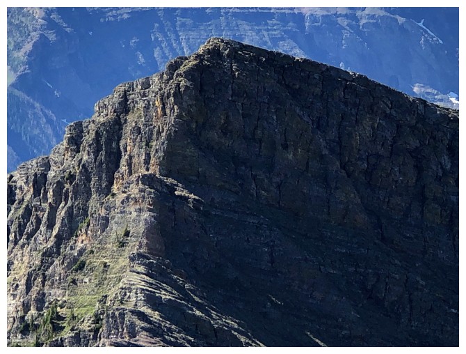
Close-up of the Peak of Despair
Back to that killer viewpoint
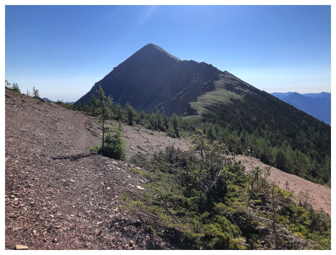
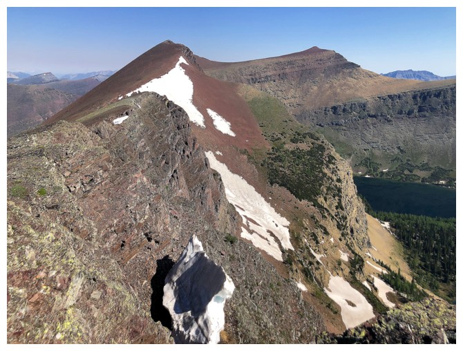
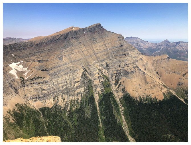
Mount Lineham. It's a straightforward hike/easy scramble from here.
But more views of the lake first
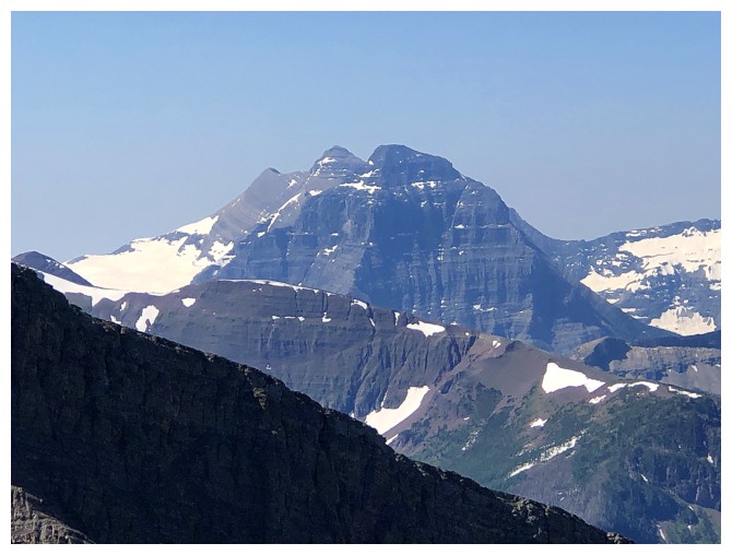
Easier to see Kintla and Kinnerly as separate mountains here
Staying on the ridge for the best views
Like this one
And this one
Ditto
At the low col
More repetitive photos so limited captions!
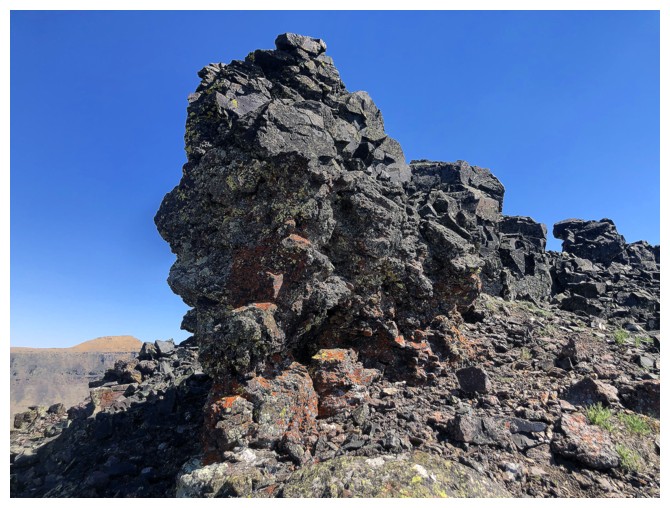
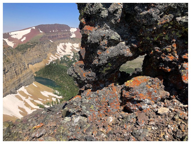
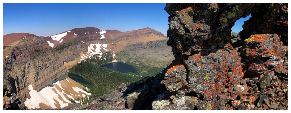
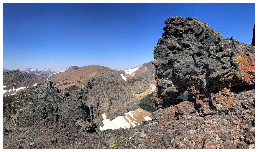
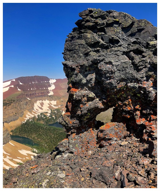
Neat hole
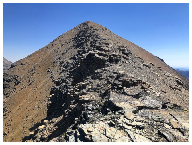
Final push to the summit
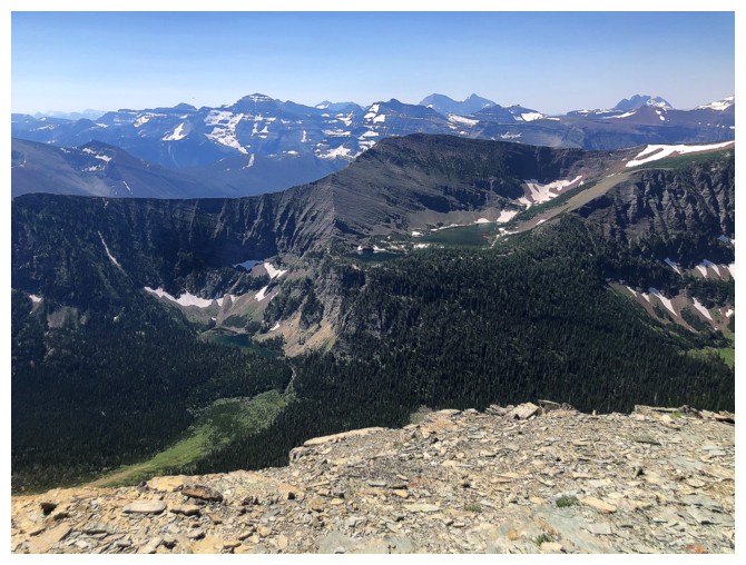
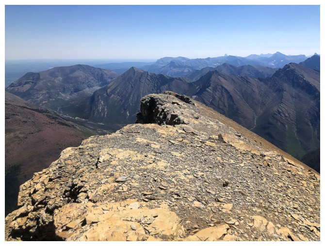
Summit view to the south
To the southwest and west
Of the lakes
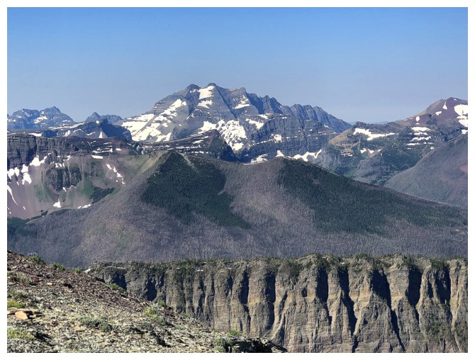
Mount Cleveland in the distance
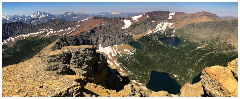
The best view is obviously towards the lakes
The king of Waterton - Mount Blakiston
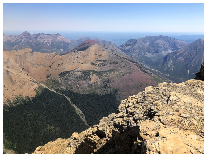
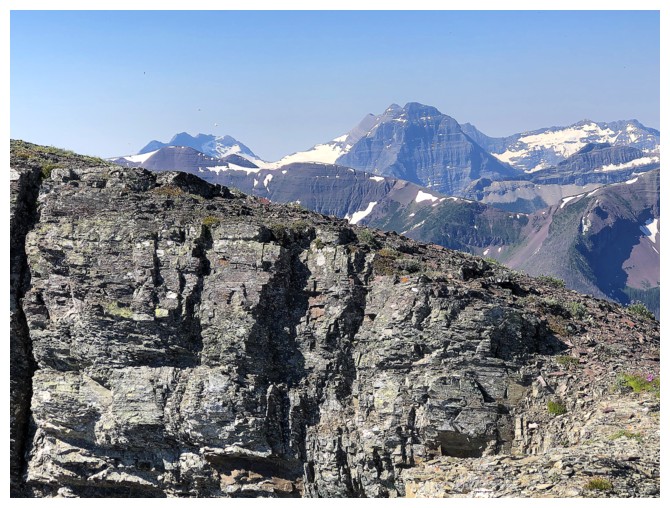
The view to the east includes Rogan Peak, Mount Galwey, Igneous Peak,
Ruby Ridge, and Mount Crandell.
Note the drainage going from right to
left - it provides an awesome access route to Igneous Peak.
Southeast
South
Southwest
Cameron Lake and mountain of Glacier National Park
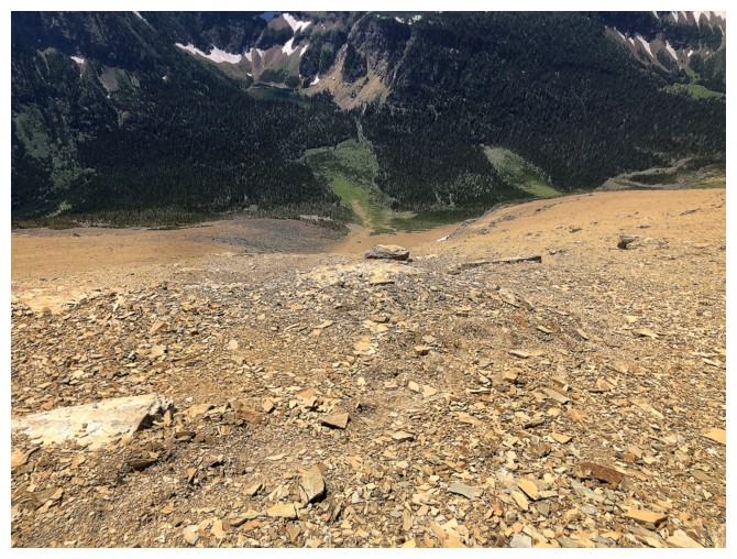
Looking down the descent route. It's not a straightforward as it appears and requires a little route-finding in places.
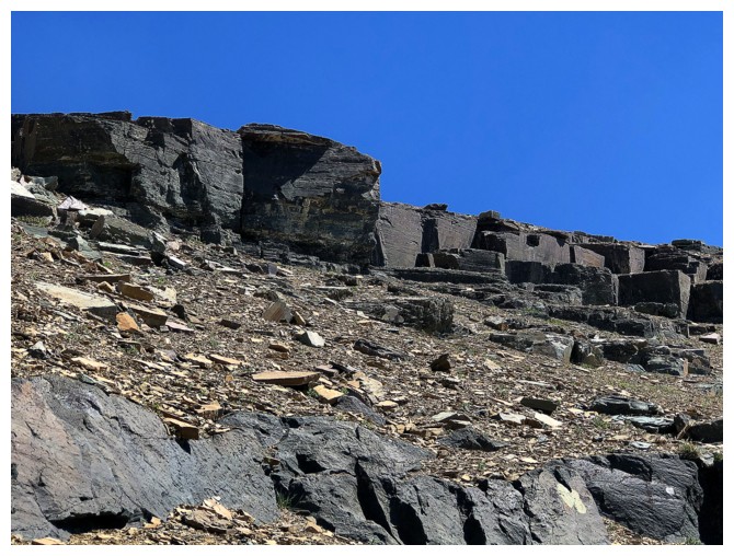
There are a few interesting rock bands
And some blocky slabs
Clear sailing once past those rock bands
Almost back to the trail
The highest and second highest points of Buchanan Ridge
Last of the red argillite
Back at the cascades near the beginning. They usually look better later in the day.
Parking lot in sight
The End
LOG