The Croissant IV and The Muffin III
February 15, 2020
Mountain heights: 2097 m, 2000 m
Elevation gain: approximately
400 m
Round-trip time: 4 hours
Solo scramble.
 Like the actual food items, I simply can’t get enough of The Muffin and
The Croissant! All of the “IV” and “III” in the title have all occurred within
the last 14 months (I II III).
Like the actual food items, I simply can’t get enough of The Muffin and
The Croissant! All of the “IV” and “III” in the title have all occurred within
the last 14 months (I II III).
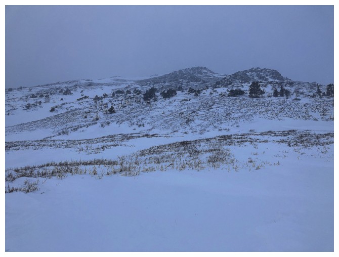
I didn’t have an actual route planned out for the day. The three
previous ascents had all taken different routes on the south face, each
offering an abundance of the scenic treasures that I’ve come to love so
much in this part of the Rockies. Upon reaching the drainage that leads to the westerly
frozen waterfall Dave and I had visited on our Bakery Peak trip, I decided a
line just west of the drainage might go. It did and did not disappoint in the
least – great rock scenery and improving views, even in less than stellar
weather.
Eventually, I did intersect the route that Dave had taken (we had split
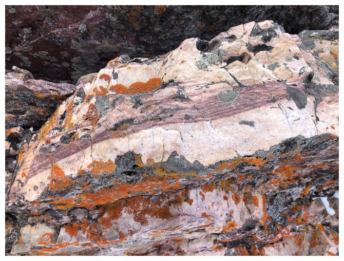
up at this point of the trip) to check out the rock layers and colours he had seen.
Although I didn’t find his exact route the rock was expectedly fantastic. Before
making my way to the summit of The Croissant I did detour over to a minor
highpoint on the ridge, farther west. The upside of this route was encountering
some very pleasant red argillite rock bands on the way from the highpoint to the
summit of The Croissant.
Having experienced much better weather on previous trips, I didn’t stay
at the summit for too long, instead enjoying an easy trip over to The Muffin and
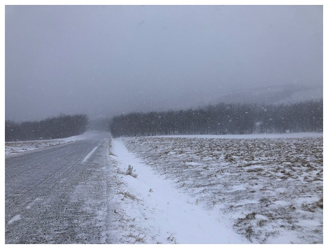
then a new and direct descent route right down the east side of mountain. A surprising snowstorm rolled in on descent and I finished the trip in
somewhat of a whiteout. Still, a more than satisfying
return to a couple of delicious outliers!
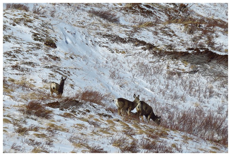
A group of white-tailed deer on the south side of The Muffin
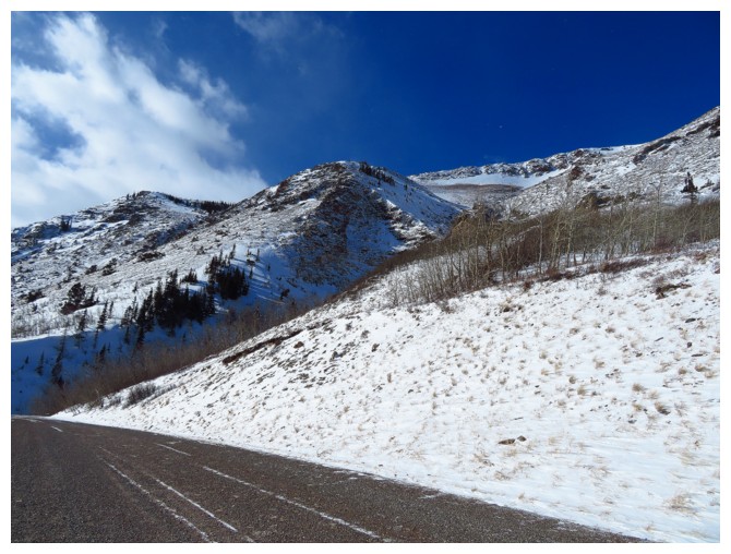
Approaching the key drainage
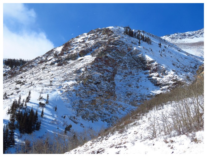
Where Dave and I split up on put last trip to the area - Dave went up the ridge just left of centre and I went to the right
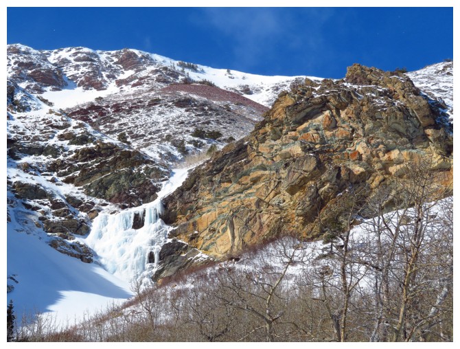
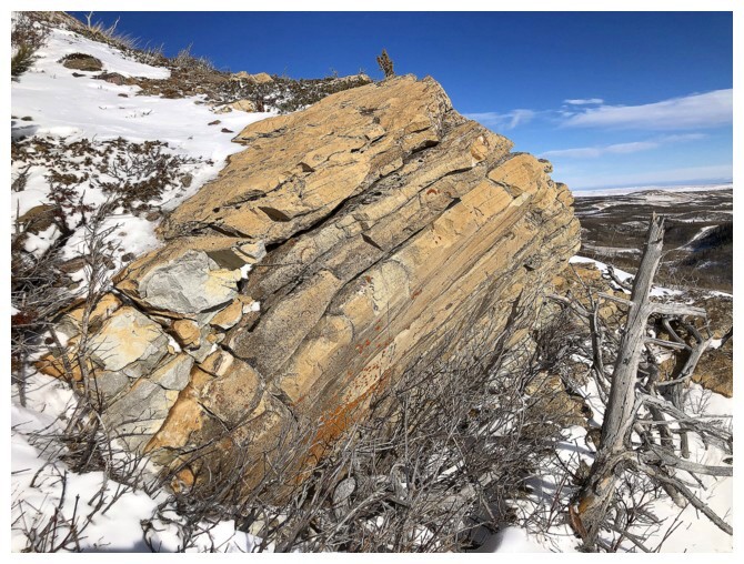
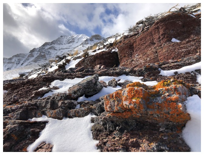
Awesome rock band, sweet little frozen waterfall
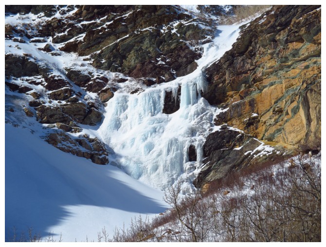
People do ice climb this one
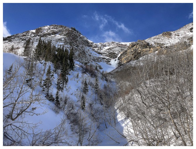
Looking up the drainage
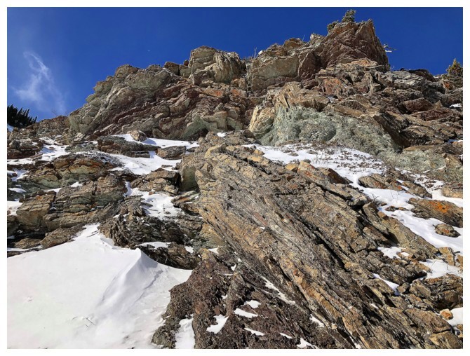
The route I started up doesn't look too interesting from below
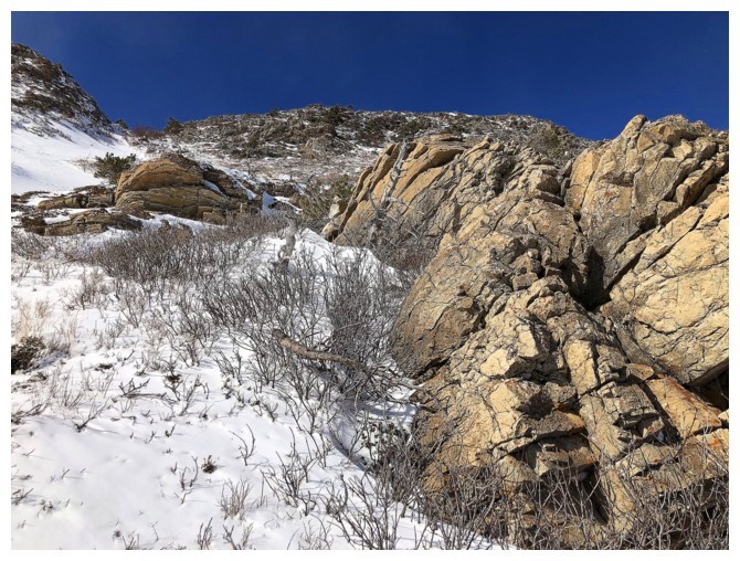
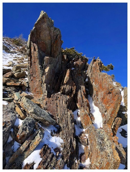
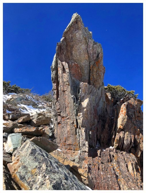
But it quickly improved upon reaching this rock
....and this rock
....and this rock!
etc.
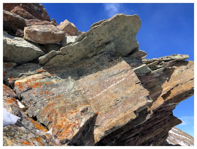
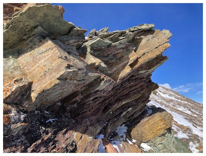
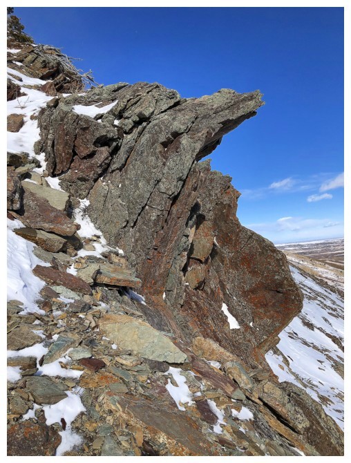
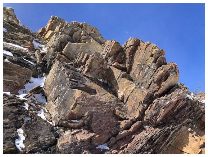
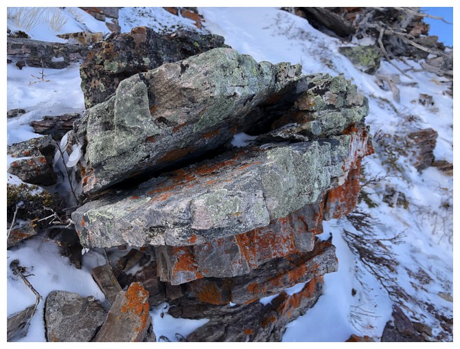
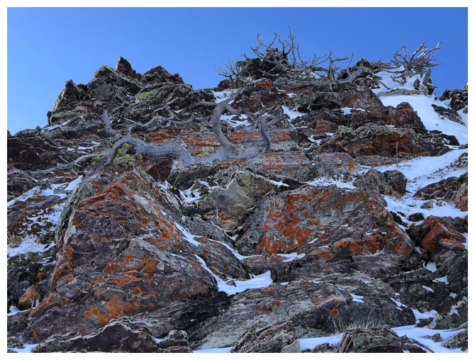
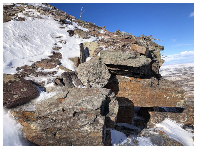
One of the coolest rock formations of the trip
Yet another monkey in southern Alberta rock!
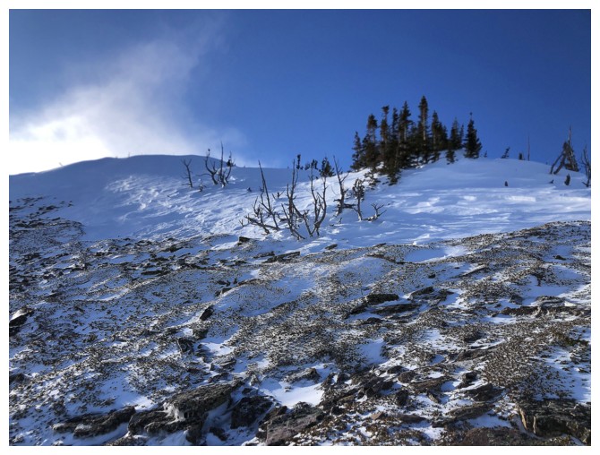
The Muffin
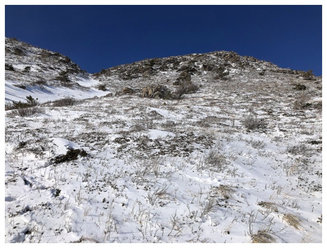
Past the cool rock and onto easier slopes
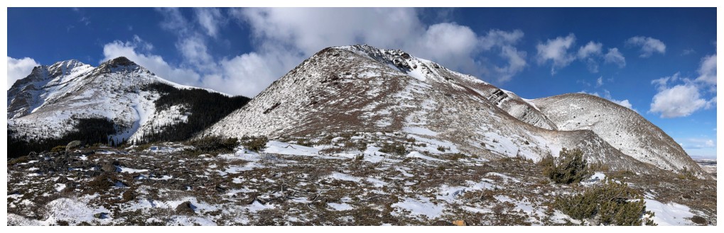
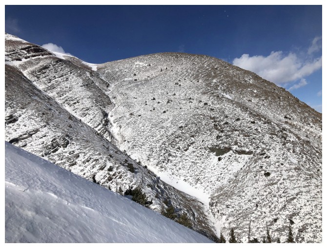
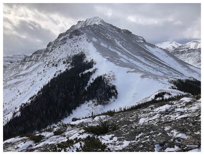
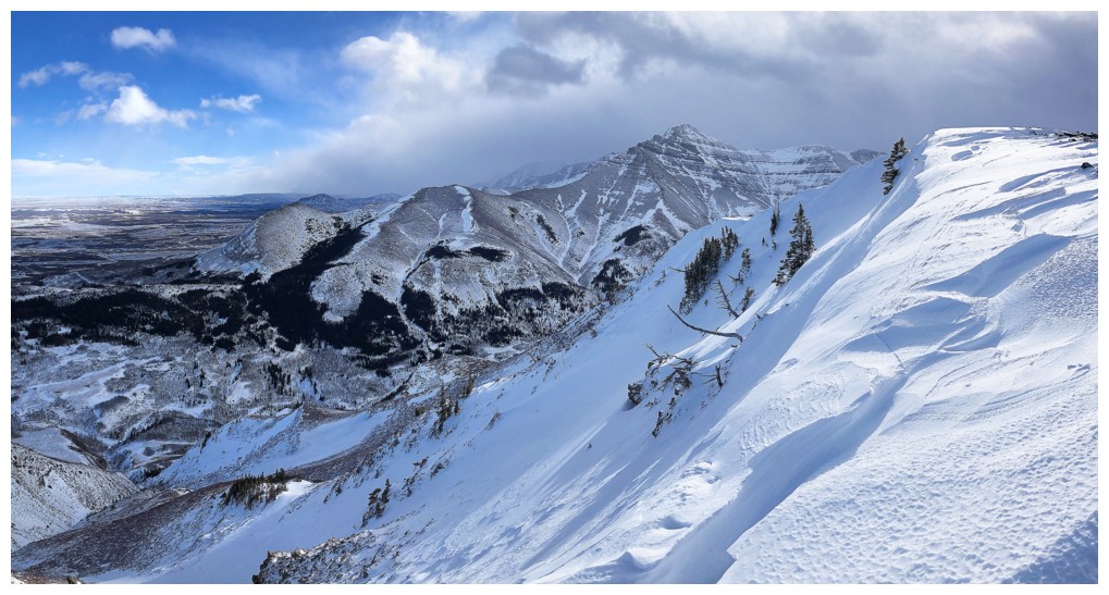
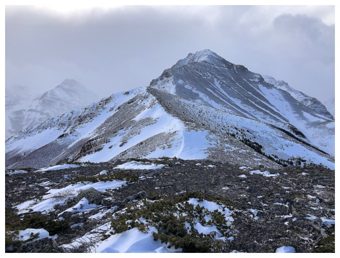
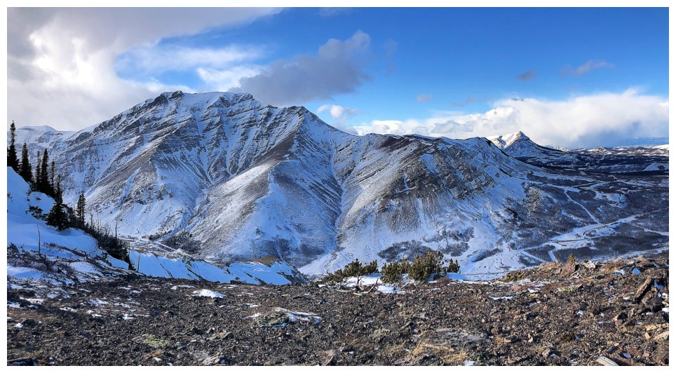
On the westerly ridge looking at Bakery Peak (far left), The Croissant, (centre) and The Muffin (right)
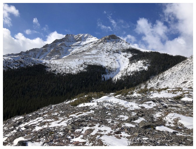
Bakery Peak
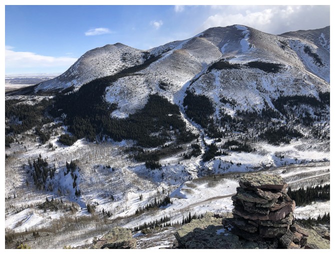
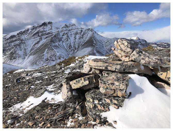
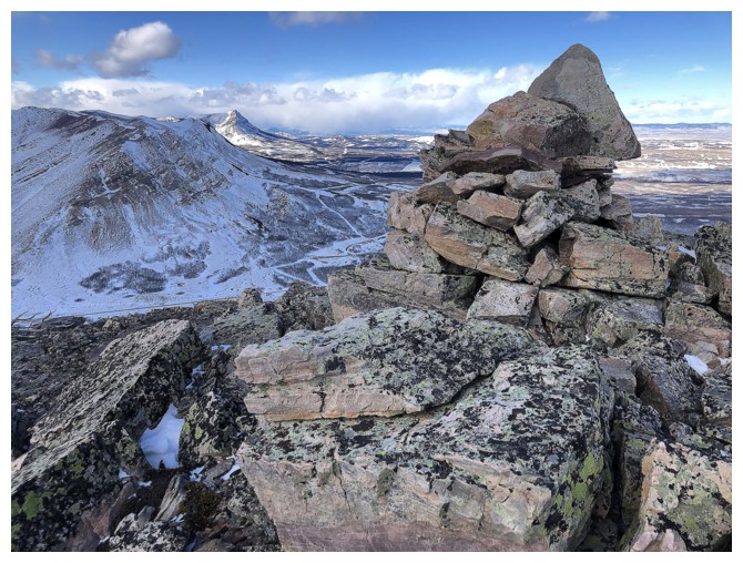
Summit cairn at the end of the ridge, backdropped by The Eaglet and The Raptor
The cairn with Mount Roche and Spionkop Ridge behind
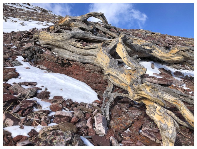
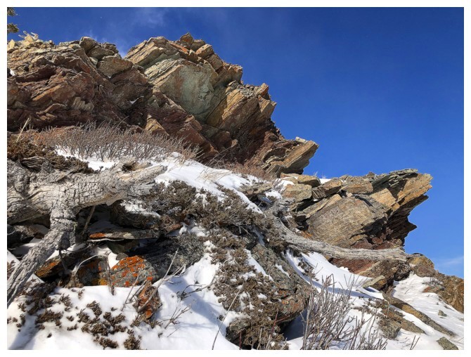
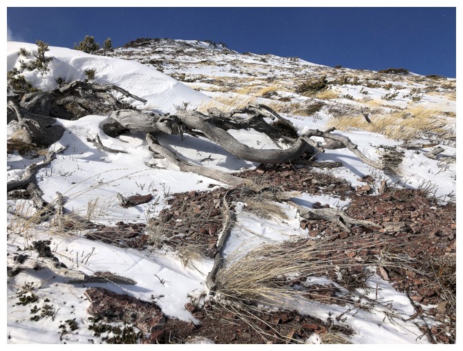
The usual twisted, dead tree photo
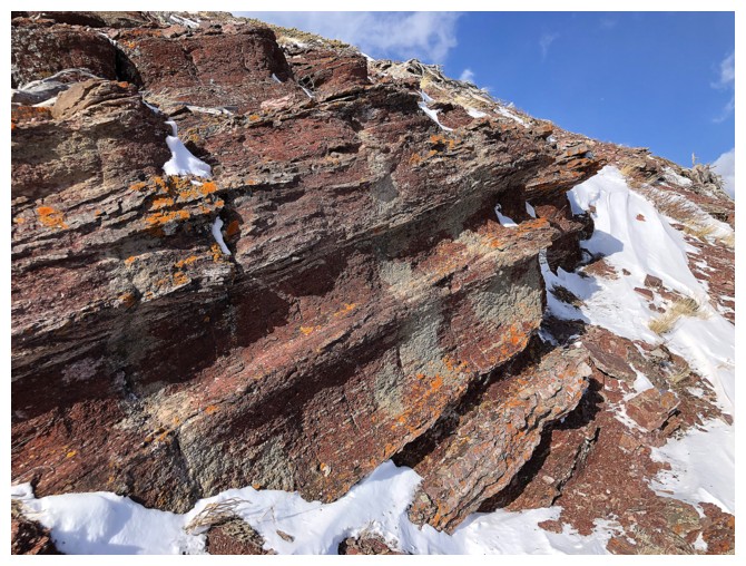
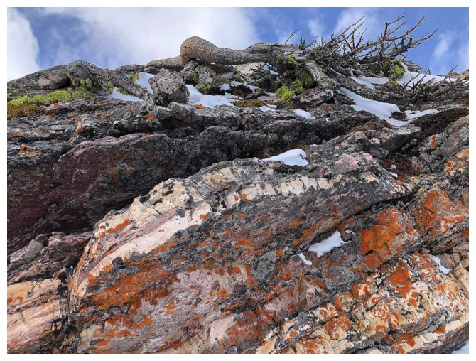
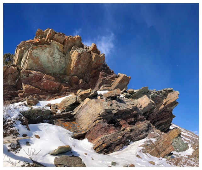
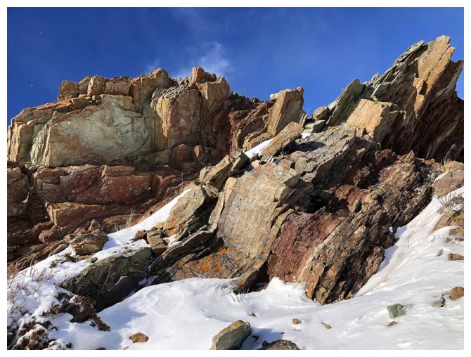
Red argillite - yeah!
Red argillite, lichen and Bakery Peak
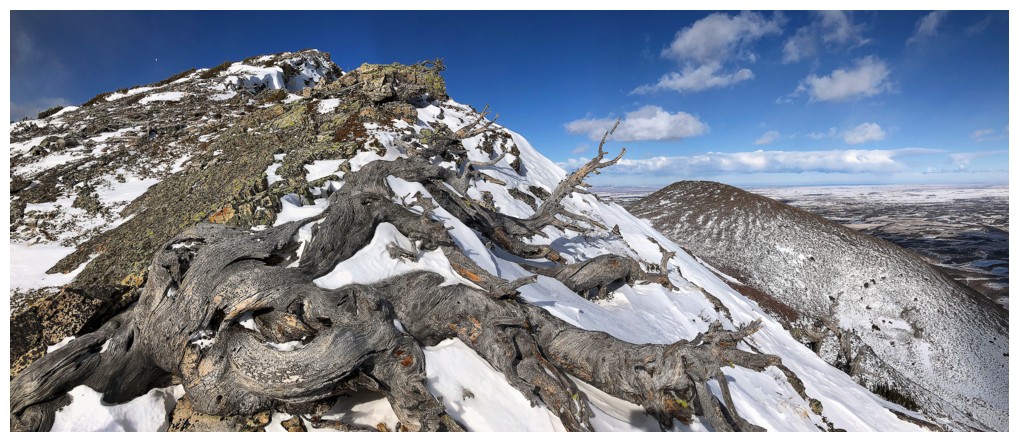
More twisted, dead trees magic
Bakery Peak
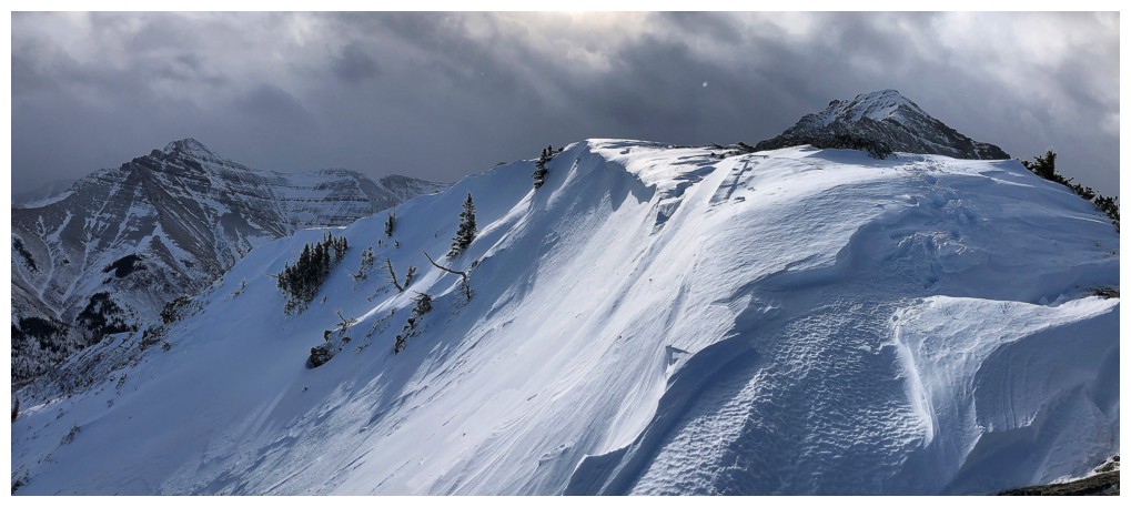
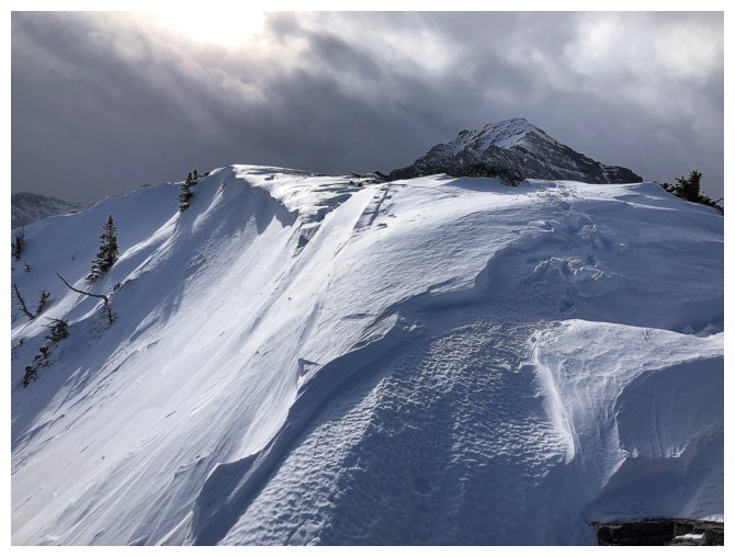
Nice cornice on the east side
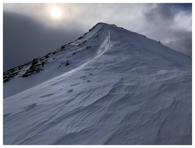
Approaching the summit of The Croissant
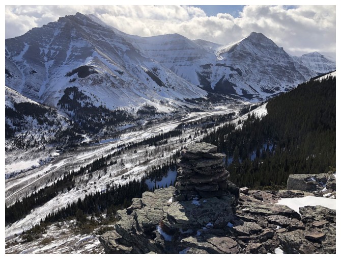
Summit view of the Roche massif
Summit cairn and Drywood Mountain
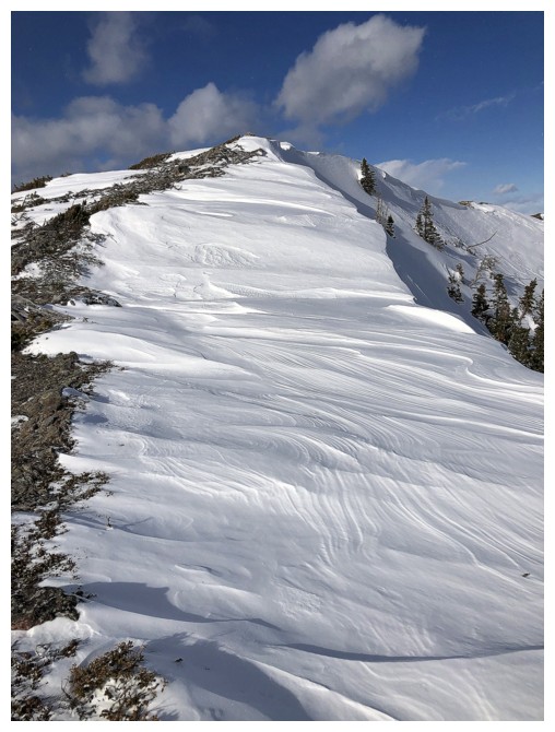
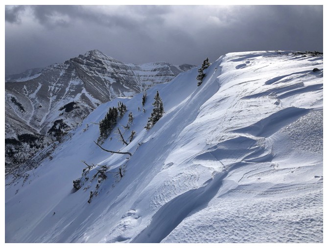
Nice, snowy ridge to descend to the Croissant/Muffin col
Cloudy and threatening to the west but the Sun did shine for a short while
The cool cairn of The Muffin
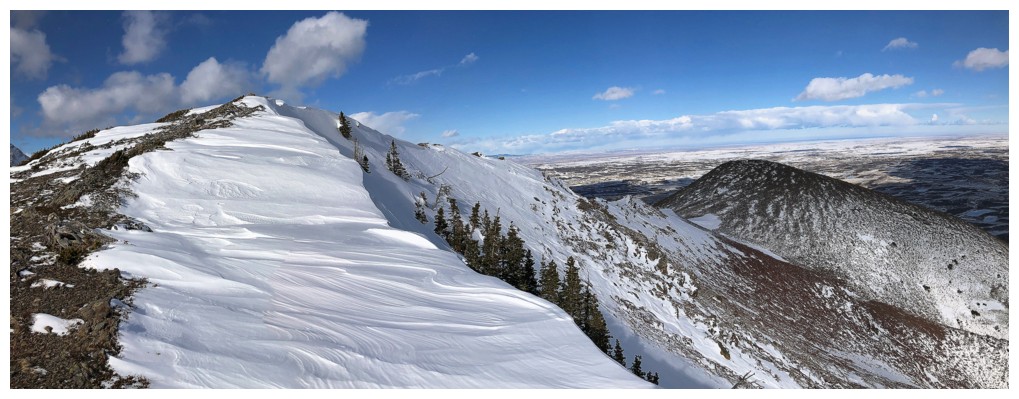
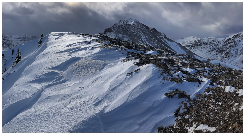
Looking back to The Croissant and Bakery Peak
Lots of interesting rock on the east side of The Muffin
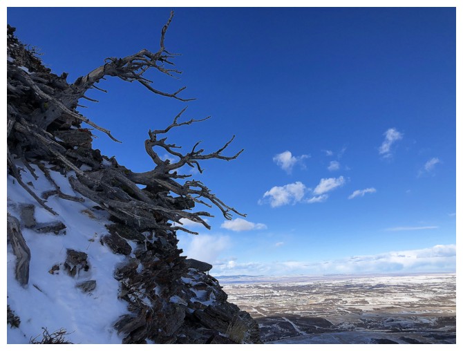
And, of course, a few twisted, dead trees
All of the above
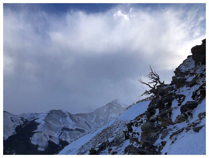
Unusual weather - does it want to be clear or cloudy?
Went back up to check out this rock when the clouds lifted
Looks pretty clear
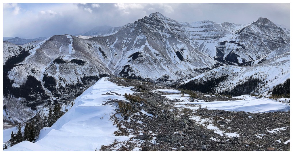
Decent views of Drywood Mountain and Prairie Bluff
Someone may be changing their mind!
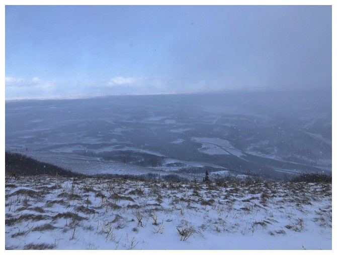
Yep - it's going to be cloudy
Might as well be a near whiteout - The Muffin is hidden in the low clouds
The End
LOG