Prairie Bluff VIII
August 17, 2019
Mountain height: 2258 m
Elevation gain: 720 m
Roundtrip time: approximately 5
hours
Solo scramble.
Well on its way to eclipsing Mount Baldy as my most frequently ascended
mountain, it was time for another run up Prairie Bluff and/or one of its
outliers. The plan was simple: stick to one of the standard routes up the
mountain (see Bob Spirko)
and not get distracted by the seemingly limitless potential of other, more
obscure lines to the top (see Prairie Bluff VI and
VII).
Other than the surprising fact that I was able to stay on route
throughout, the highlight of this trip was the unusual weather. Although I
often annoyingly complain about cloud cover, if there are going to be clouds in
the sky I’ll take the conditions I experienced on this trip any day - most of
the being characterized by fog, mist, billowy clouds and very unsettled and
often eerie weather phenomena. Sure, clear skies may have been nice at the
summit, but there were enough breaks in the cloud cover to satiate my need for
a few unobstructed views.
For descent I took the very scenic south ridge route, thoroughly enjoying the bizarre weather and colourful rock.
The mountain that keeps on giving continues to impress – Prairie Bluff IX is inevitable!
I II III IV V VI VII
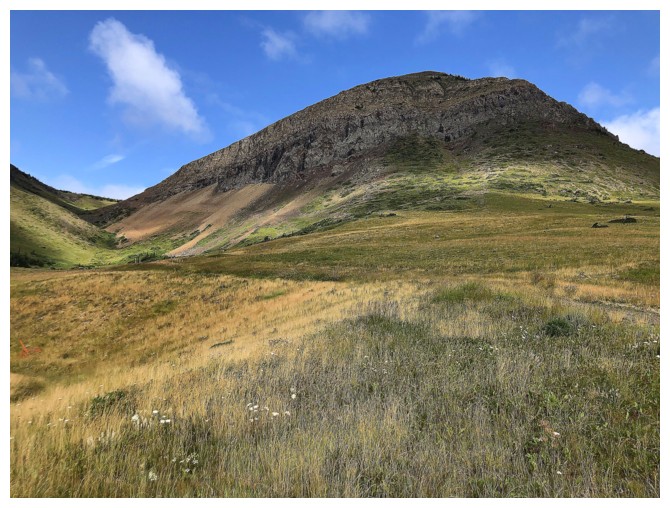
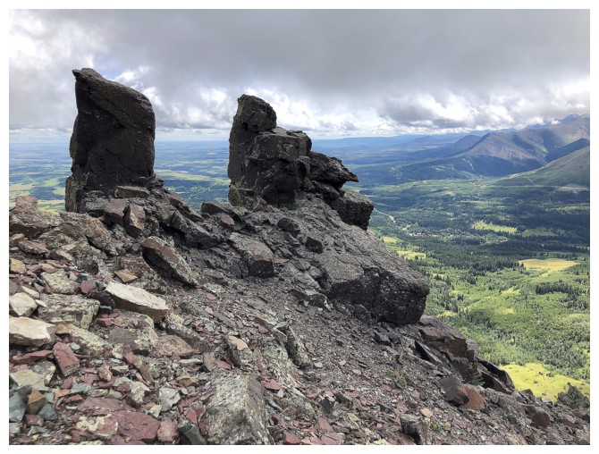
Two of the multiple outliers of Prairie Bluff
Terrific memories of a 2018 trip up this outlier
The route up the outlier goes through a weakness, just right of centre
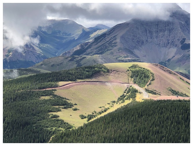
Good views of Pincher Ridge
The standard route follows a trail on this slope
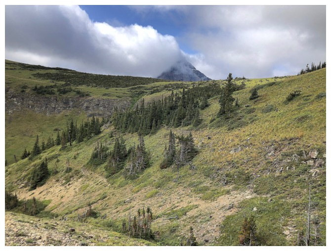
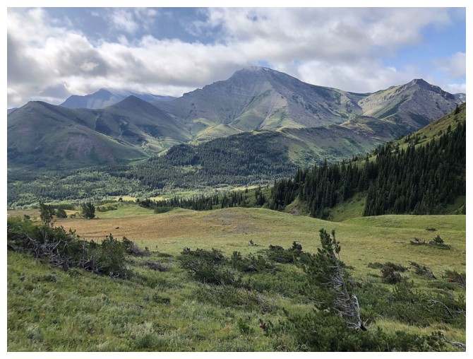
First view of Victoria Peak
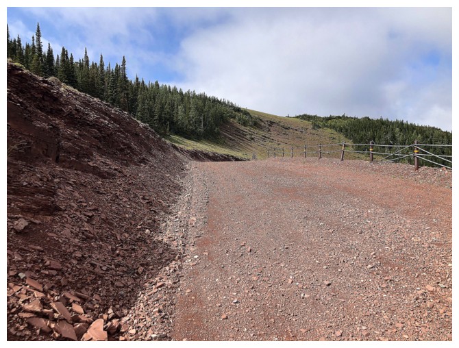
Onto the red argillite gas road
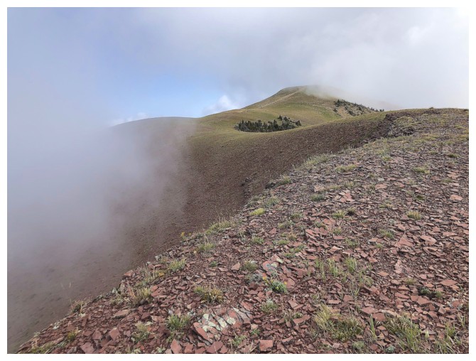
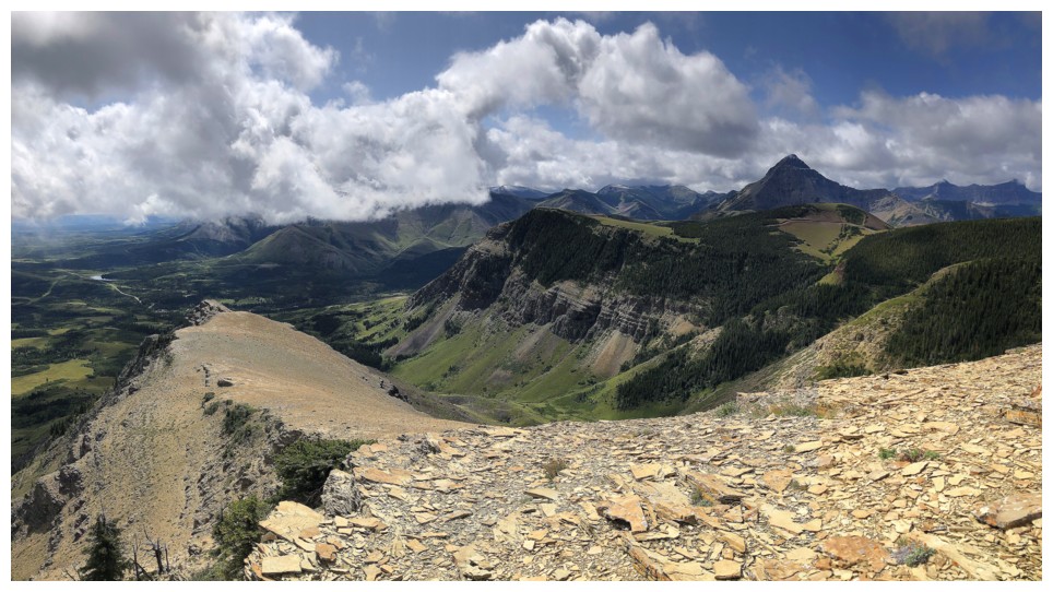
The summit of Prairie Bluff looks distant but is an easy walk-up
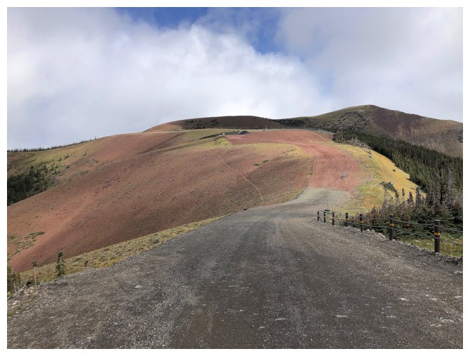
The road becomes gray for a while and then returns to red
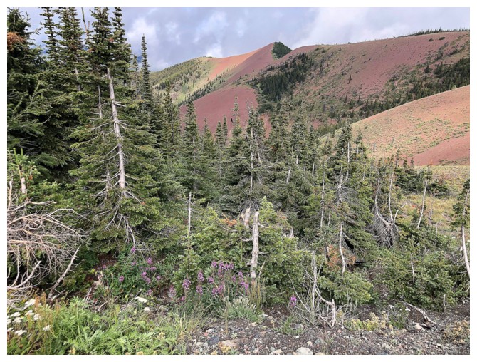
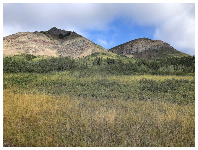
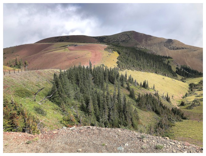
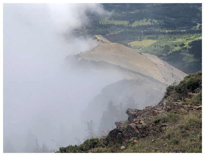
This outlier to the west is relatively low, but looks quite interesting
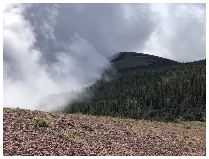
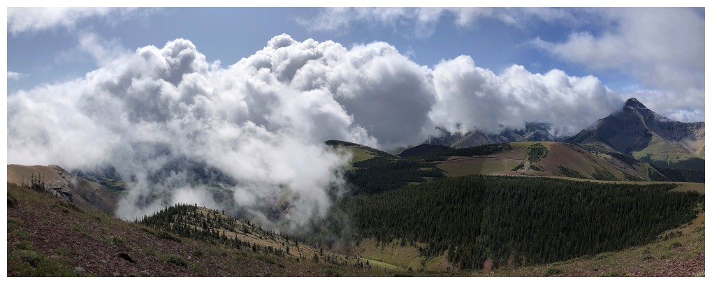
Here comes the crazy weather
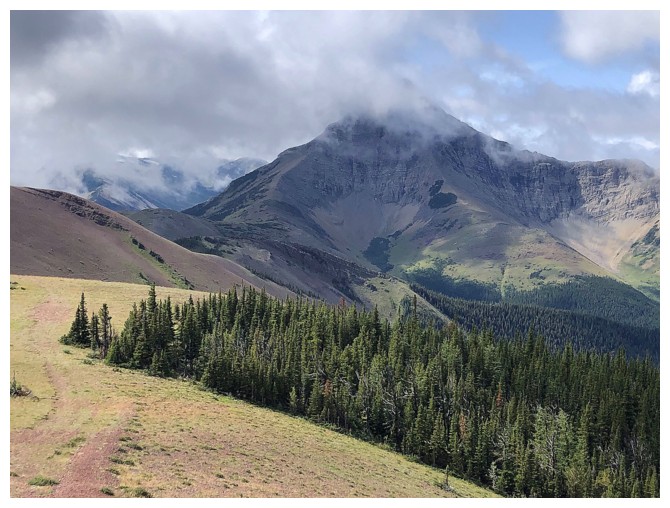
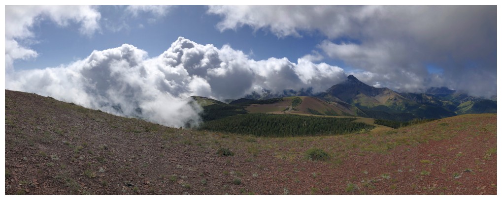
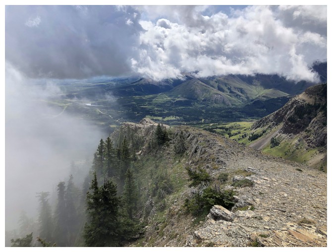
Victoria Peak was in and out of the clouds all day
So were the westerly outliers of Prairie Bluff
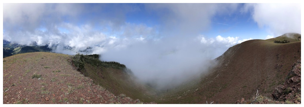
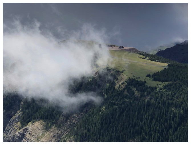
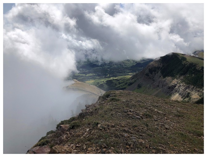
Always cool when clouds form below and rise up the mountain
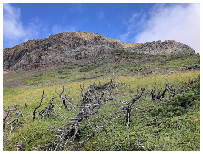
Final stretch to the summit
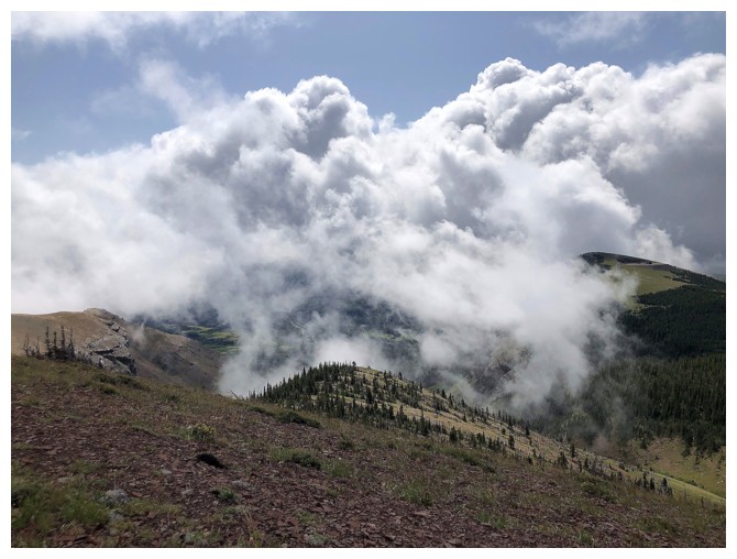
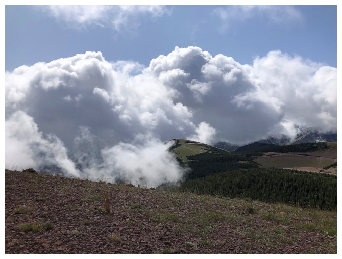
Clouds consume the outliers again
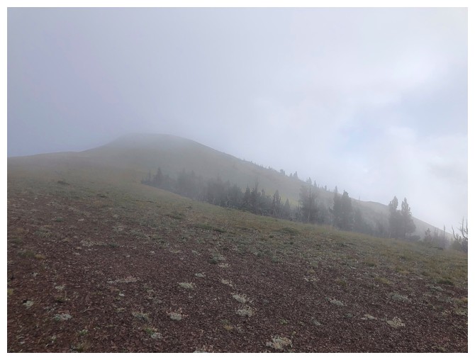
An eerie walk through the mist to the summit
Looking down at the gas well atop the southern outlier
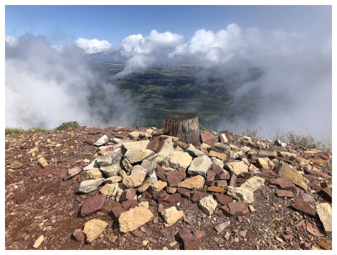
At the classic Prairie Bluff summit tree stump
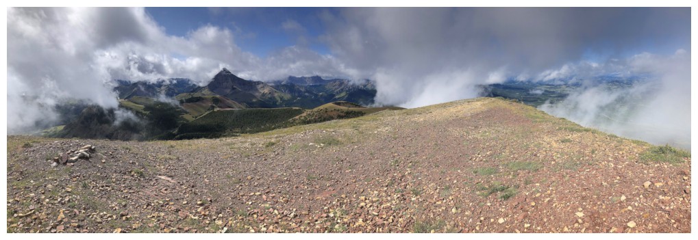
Summit view to the west. Looked like the clouds would roll in for good at this point.
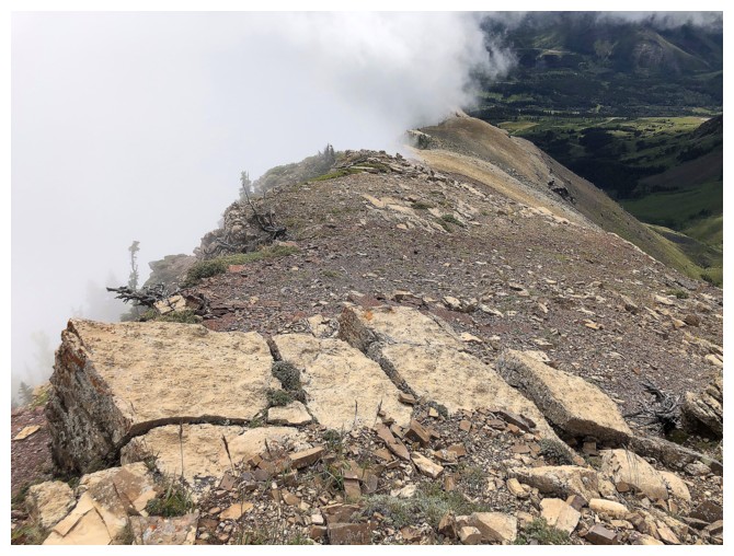
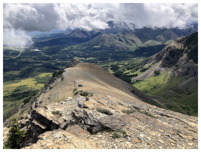
Looking down the south ridge
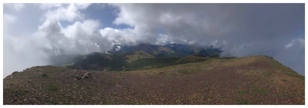
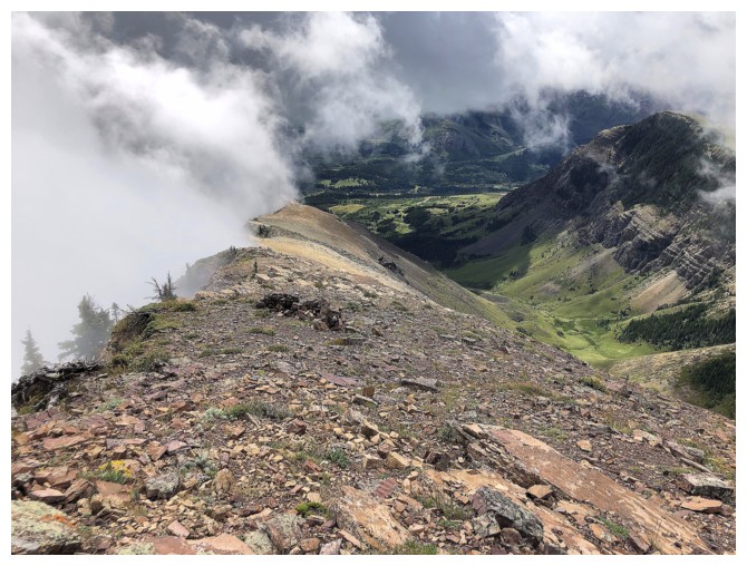
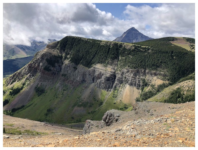
Closer look at the south ridge and the clouds forming on the east face of the mountain
Bright Sun on the red gas road
Victoria Peak emerges from the clouds
Heading down the south ridge
The clearest weather of the day
Another wave of clouds form along the east face
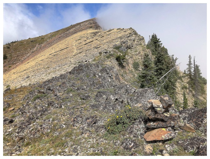
Random cairn on the ridge
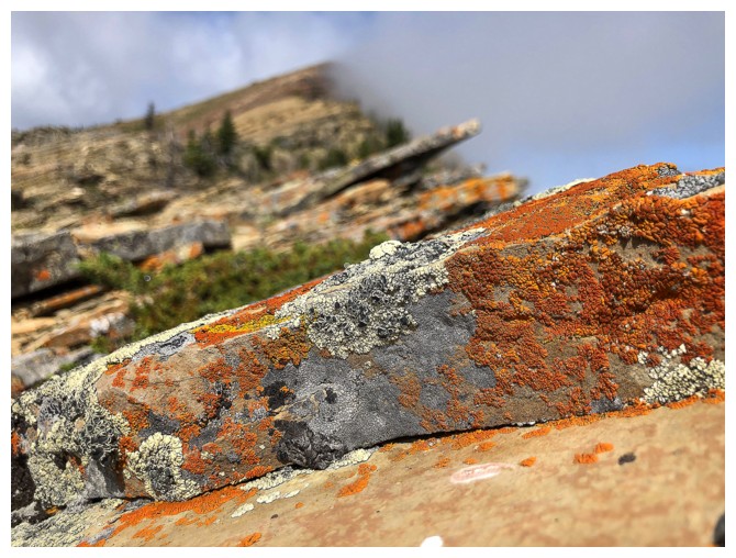
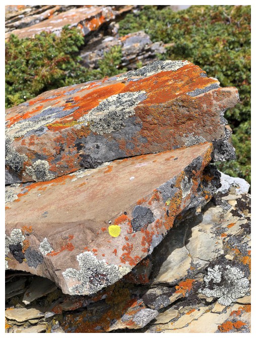
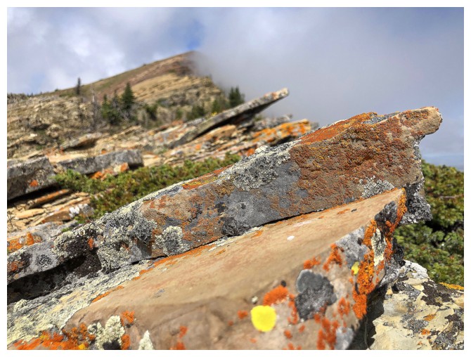
A welcome section of colourful lichen-covered rock
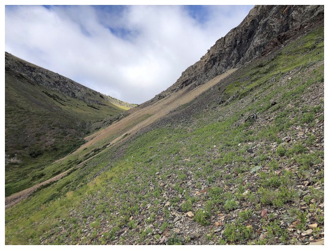
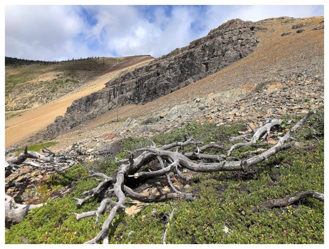
It is possible to head down into the valley at any point from here
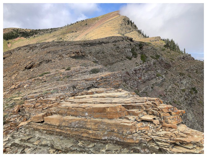
But staying on the ridge a little longer is always a treat
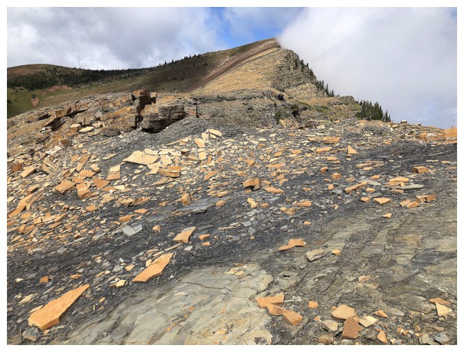
Looking back to the summit and descent slopes. Of course I was compelled to traverse back over to the black rock band.
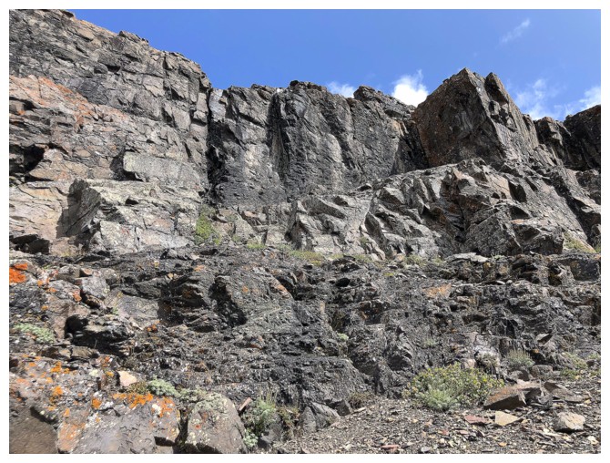
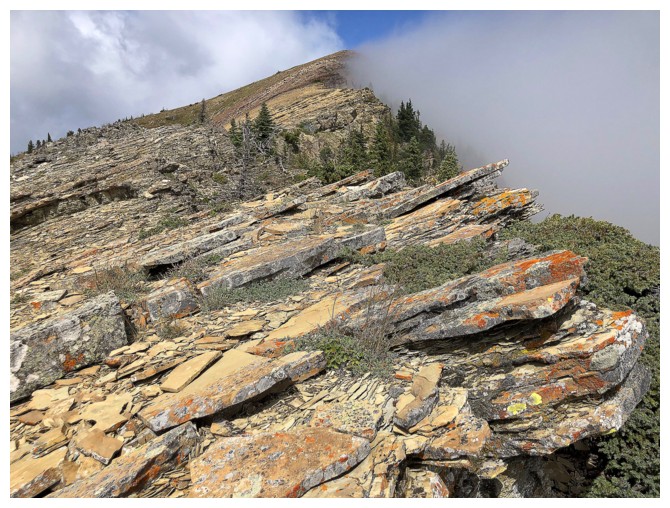
Traversing below the beautiful rock
The End