Prairie Bluff XVII
September 20, 2024
Mountain height: 2258 m
Total elevation gain: approximately
800 m
Ascent time: 3:40
Descent time: 0:50
Solo scramble.
The unusual
ascent time vs. descent time is explained by the fact that I spent most of the
trip trying to explore areas of Prairie Bluff I had never visited before. When
the predicted nasty weather rolled in, I made a mad dash for the summit and
then an even madder dash to get out of a short but violent snowstorm on
descent. Prairie Bluff never ceases to be interesting!
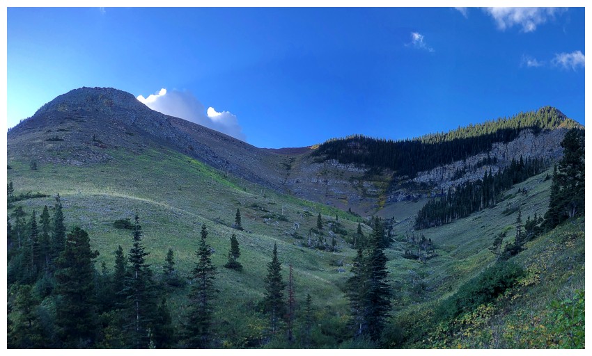
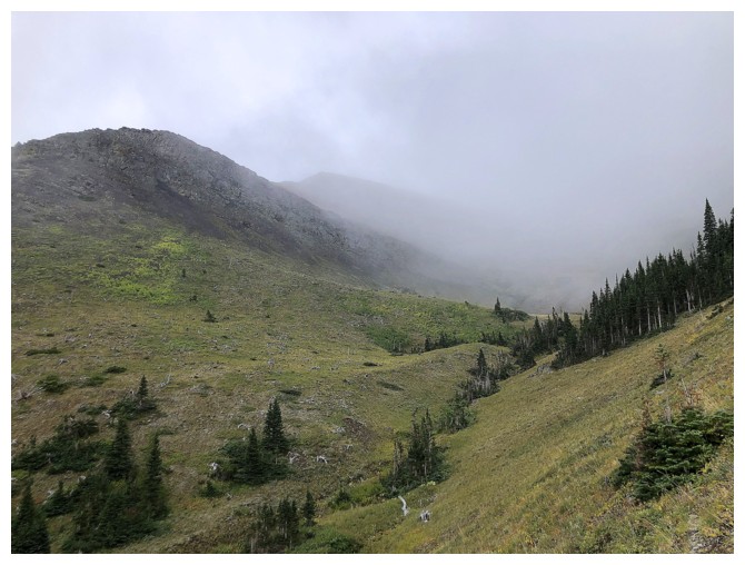
Into the valley that provides multiple, interesting routes to the summit of Prairie Bluff, with the least amount of elevation gain. I took the ridge on the right.
It's a pretty straightforward ridge
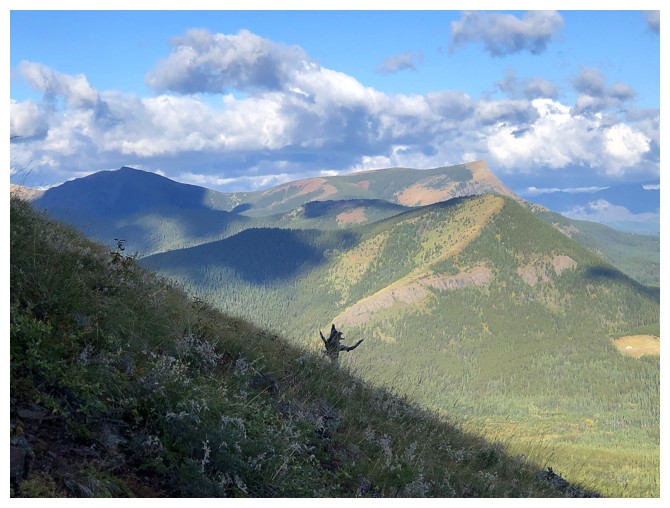
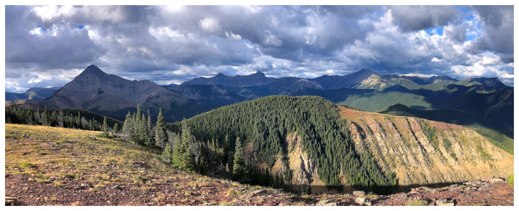
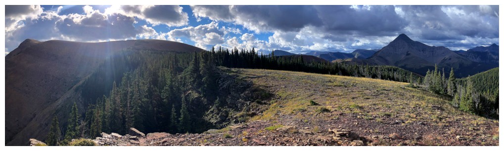
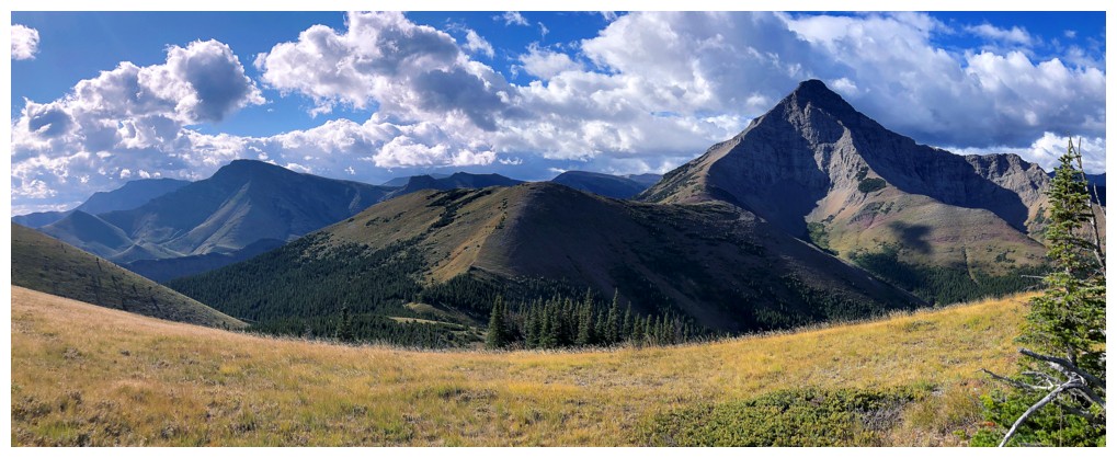
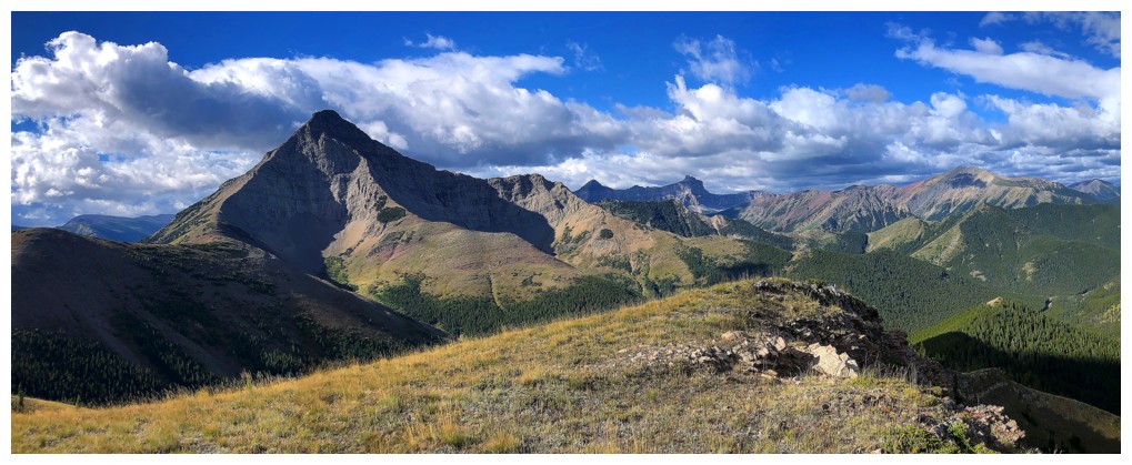
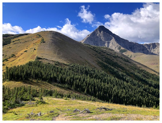
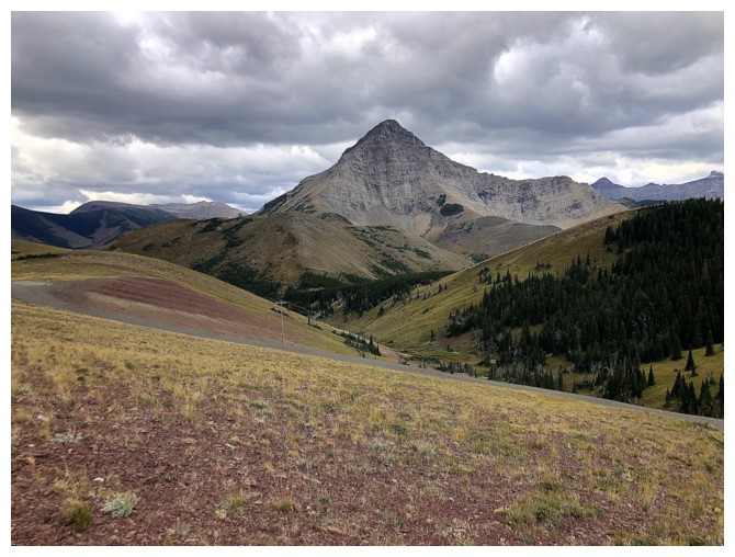
Looking west to Whitney Creek Mountain (foreground, right), with Table Mountain behind
The other ridge provides the shortest route possible to the summit
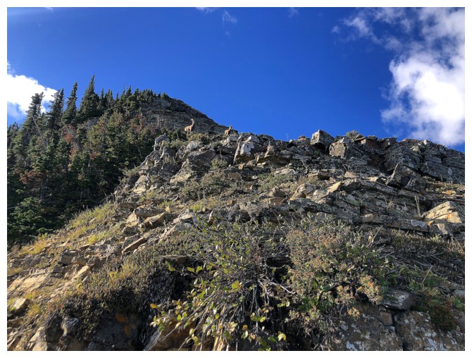
It's not unusual to see sheep in this area
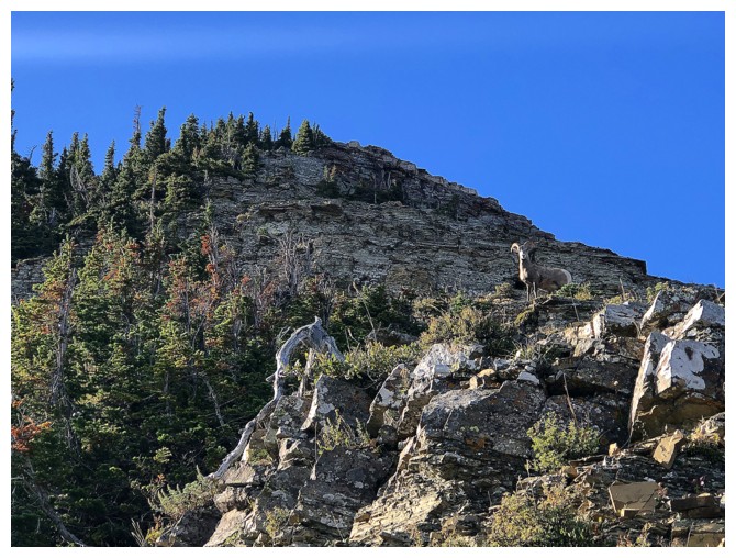
Had to traverse way over to the right to get around this guy
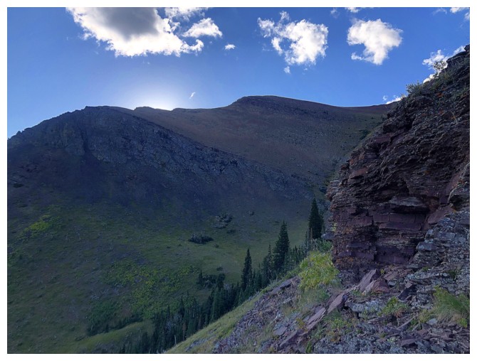
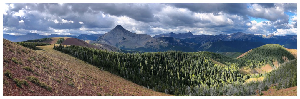
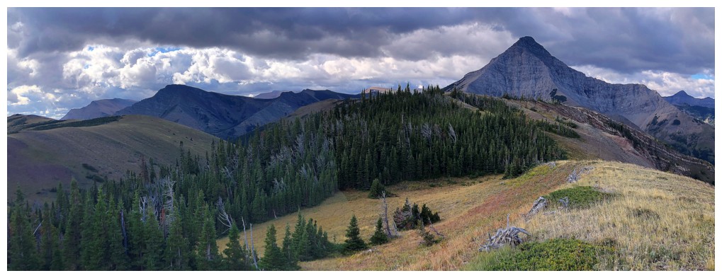
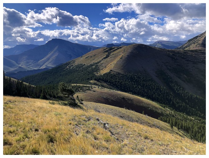
Mount Gladstone in the background and another route we took up Prairie in the foreground
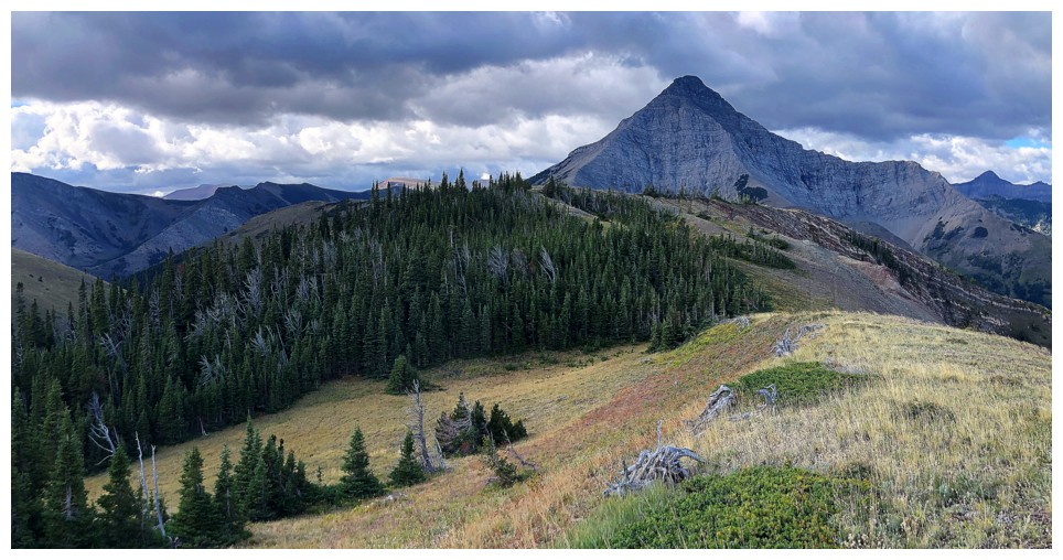
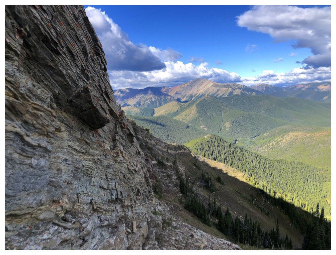
Approaching the upper section of the ridge. The right side is amazing later in the day; the left earlier in the day.
This section needs the full brunt of the Sun on it
Since there was no Sun I snuck over to the left side to check out a completely different route
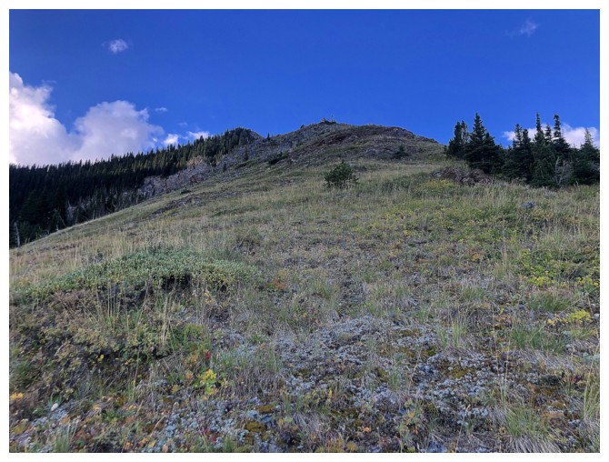
Heading up to the ridge
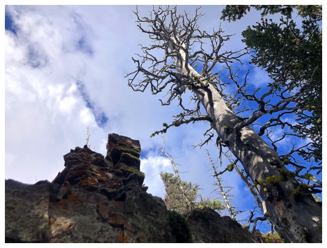
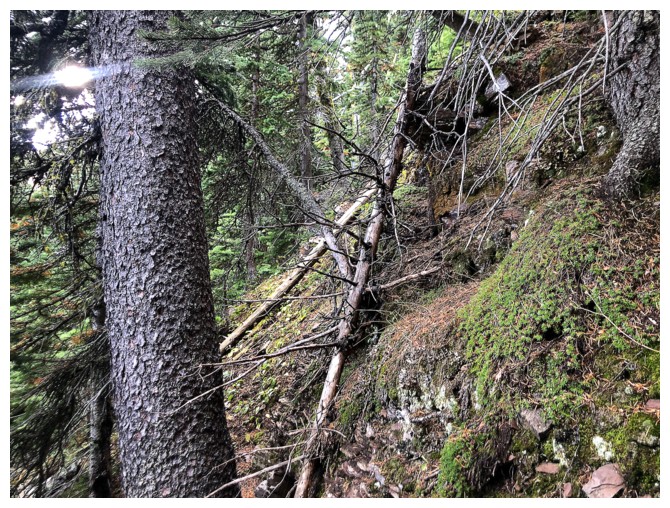
Cool tree
Cool rock
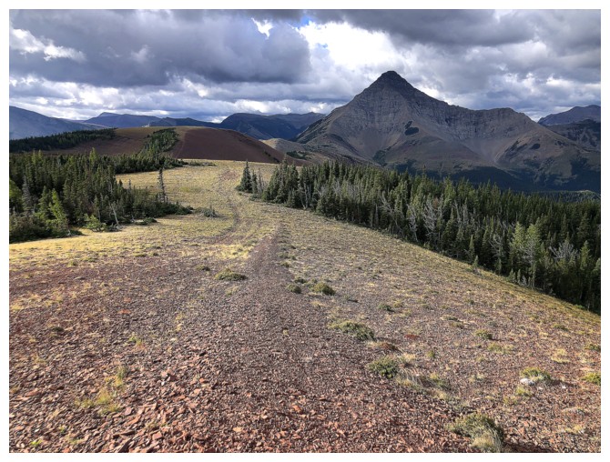
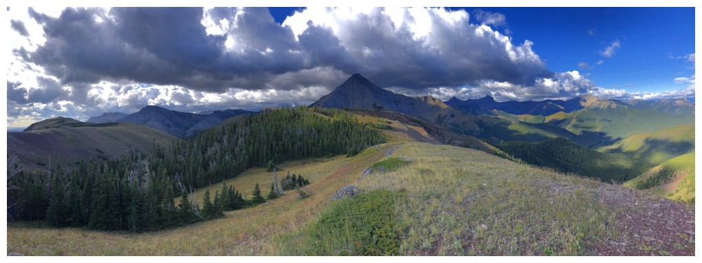
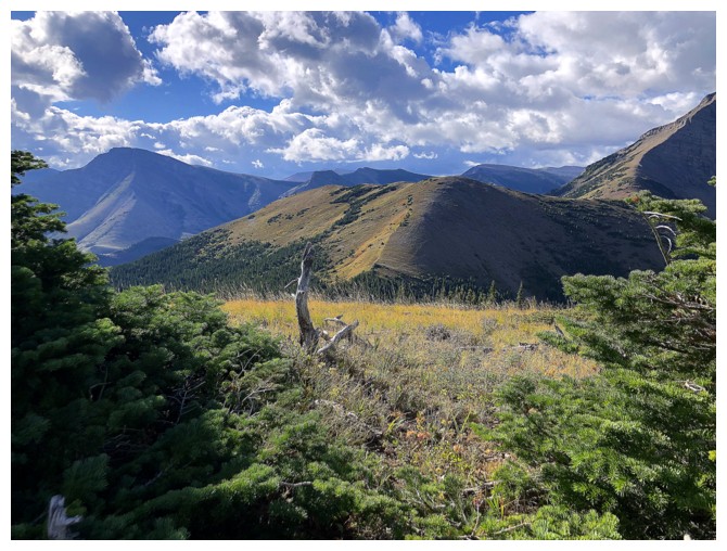
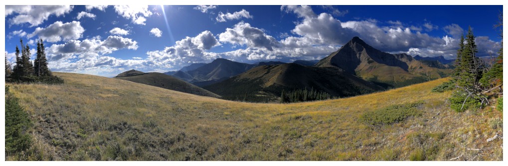
Back on the ridge. Victoria Peak at the left.
Prairie Bluff summit at the far left
Clearly I'm not the only human obsessed with Bluff
Dark clouds over Victoria
I followed the ridge at the left over to the gas road
On the trail that leads to the summit, but going the other way
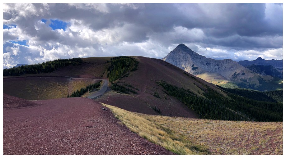
On the gas road
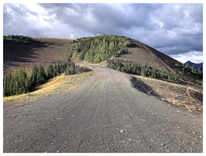
Walked the road for a while then veered off onto that trail at the right
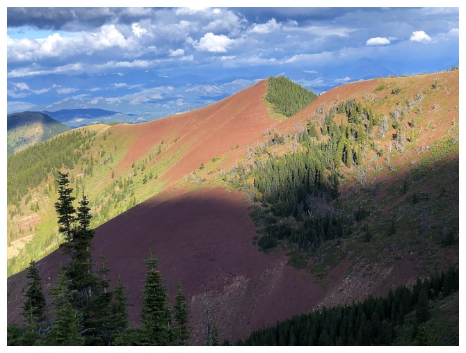
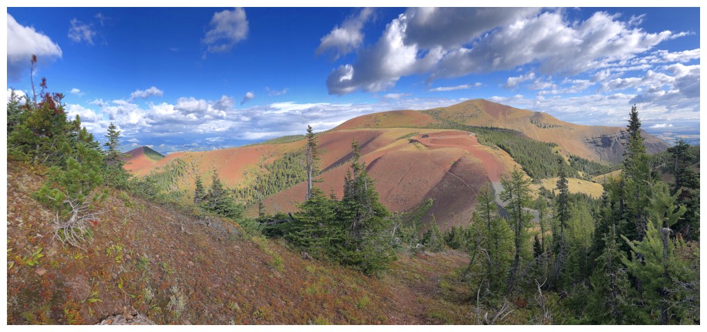
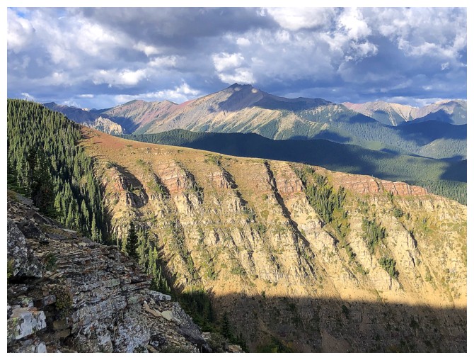
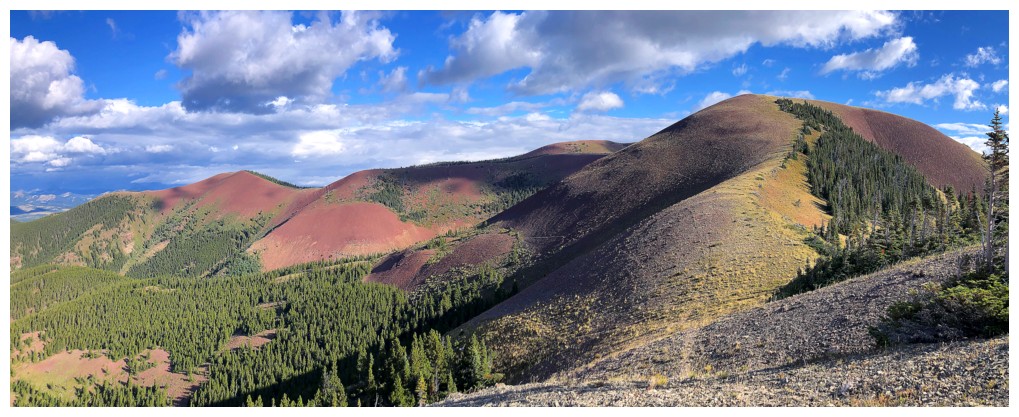
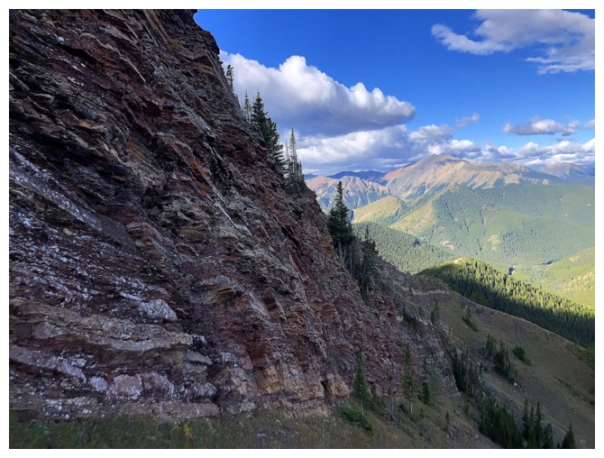
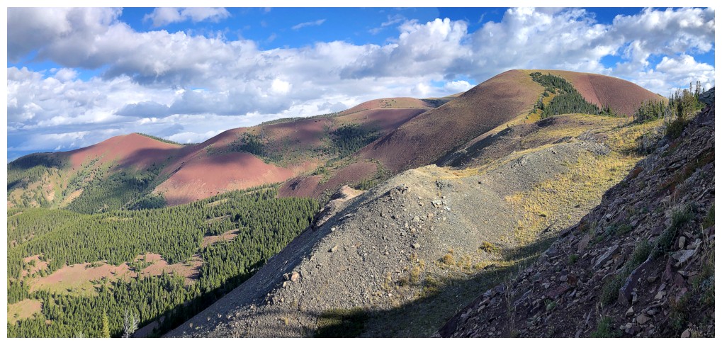
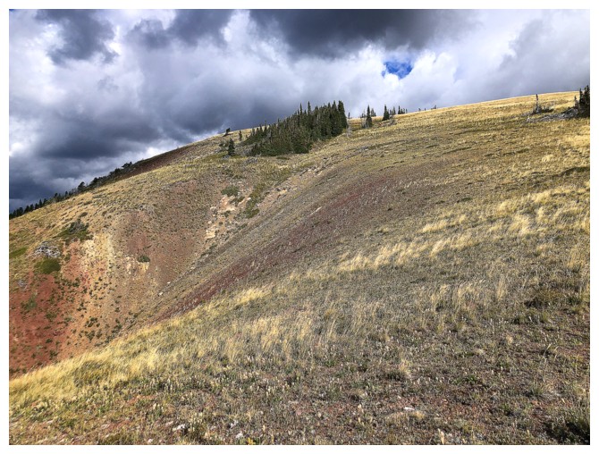
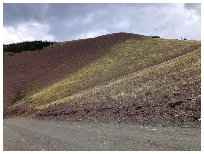
Beautiful reds on the northwest side of the mountain
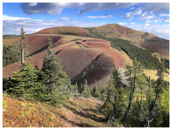
Great colours around the summit too
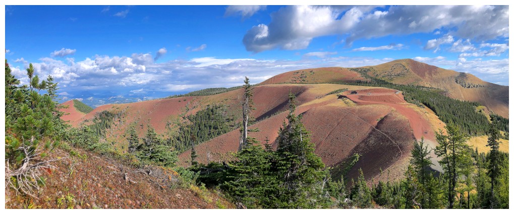
All of it
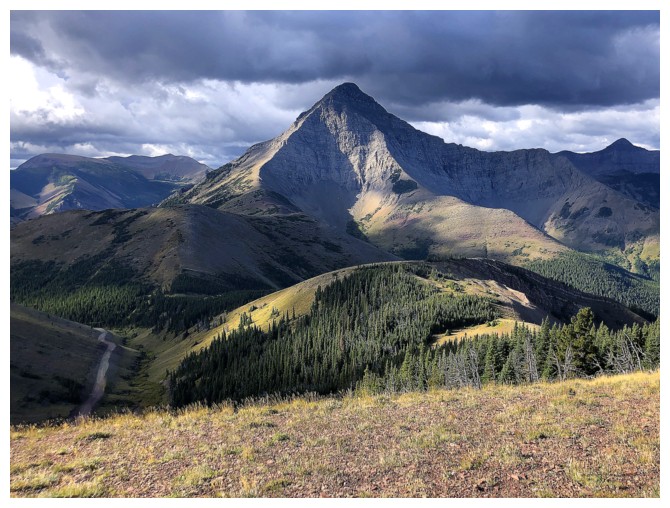
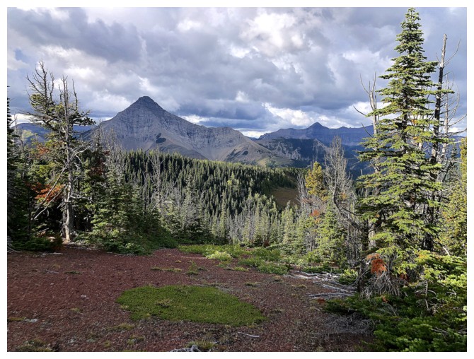
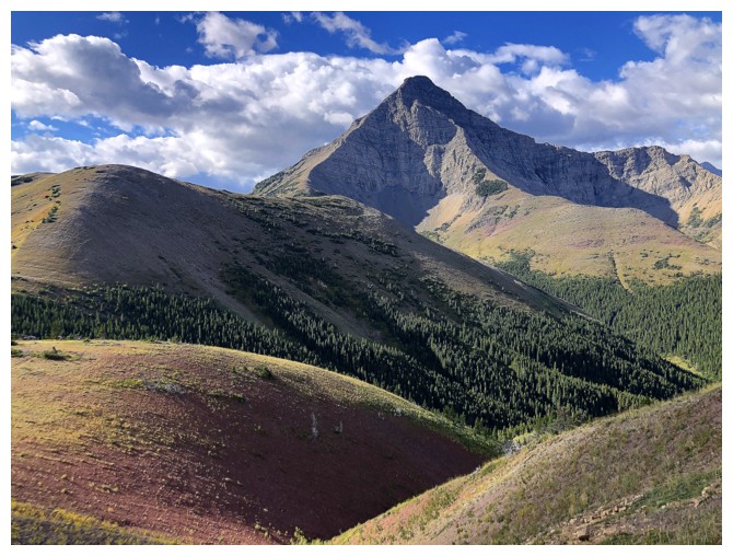
Because of it's aesthetic appearance, I like to call Victoria Peak "The Assiniboine of the South"
Clouds dull the colours around the summit
Even darker clouds form to the west. The weather from this point to the end of the trip was bizarre, to say the least.
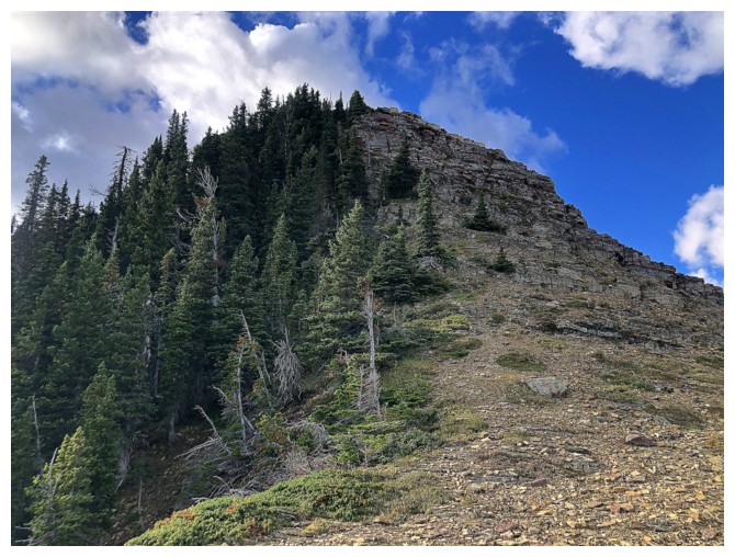
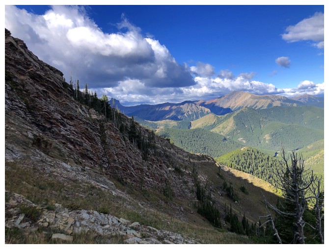
Enjoying new terrain. The goal at this point was to head towards the rock band near the right.
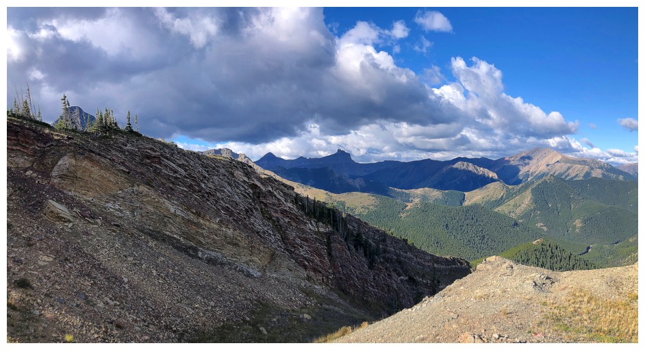
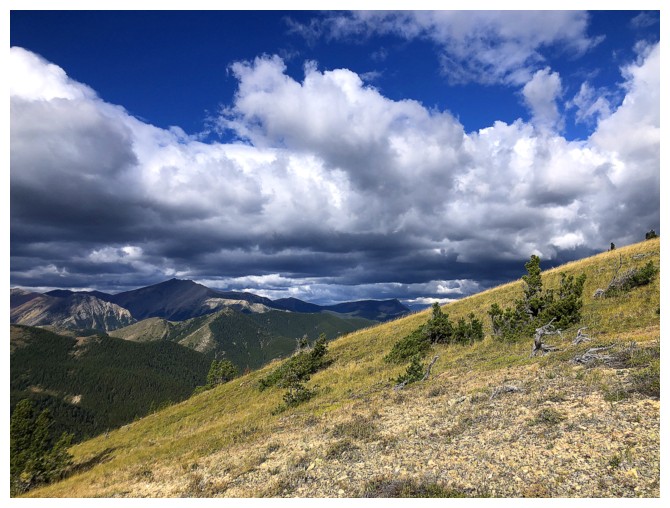
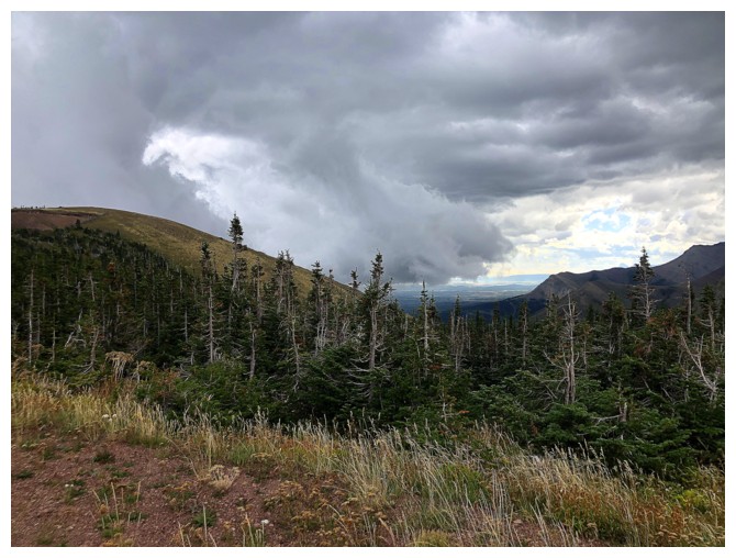
Some of the bizarre weather: clear to the north, threatening to the west.
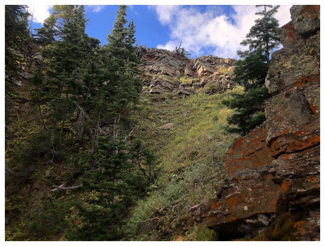
Approaching the rock band
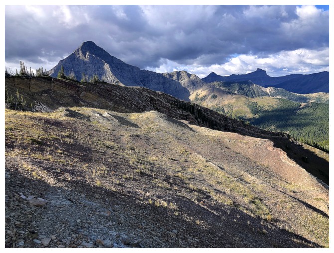
Looking back at the route from the highpoint at the right
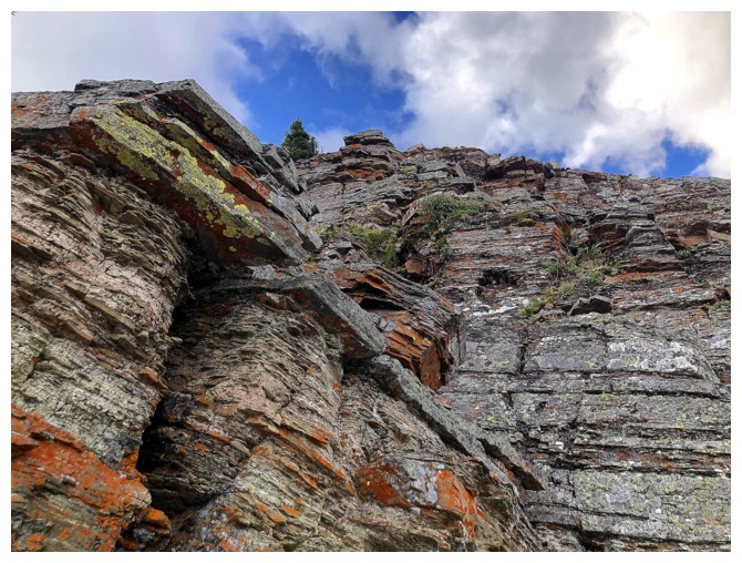
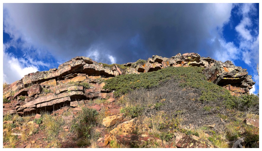
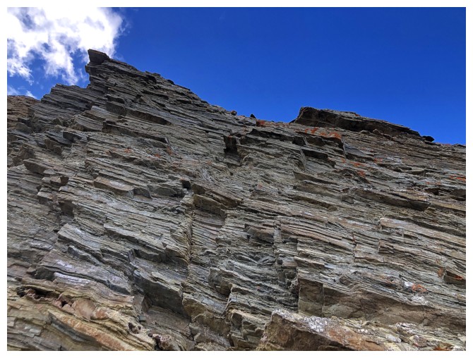
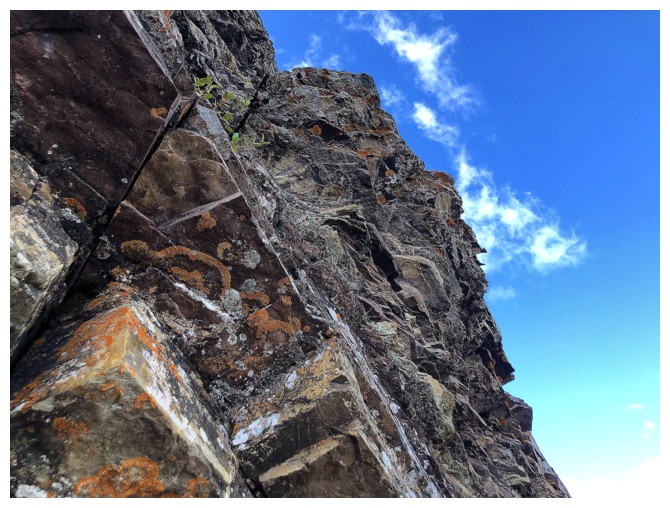
The rock band
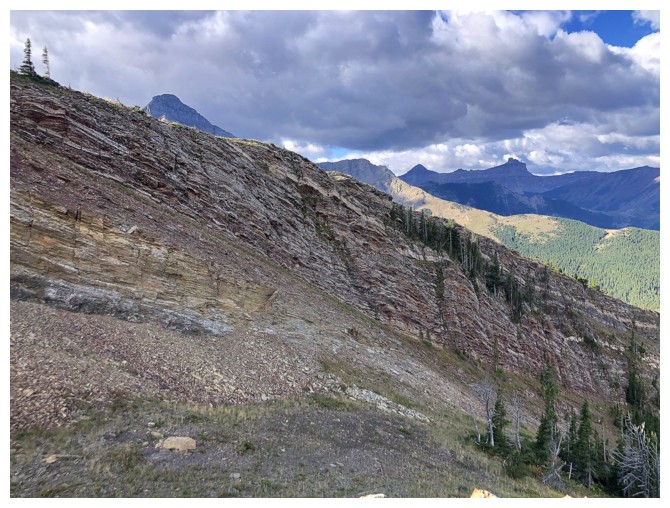
Had to get right up against it
Could have descended to get to around the steep terrain, but instead I went uphill to gain the ridge again
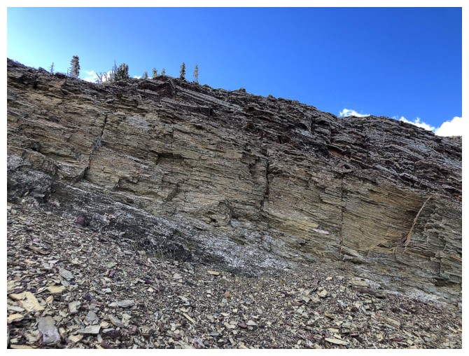
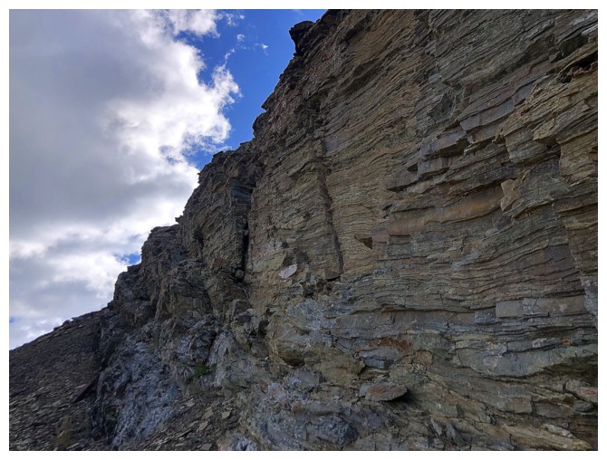
Scrambling up this would have been a terrible idea, as much of the rock is quite brittle
Enjoying the decent weather for now, as things will soon change
Hiking up alongside the band
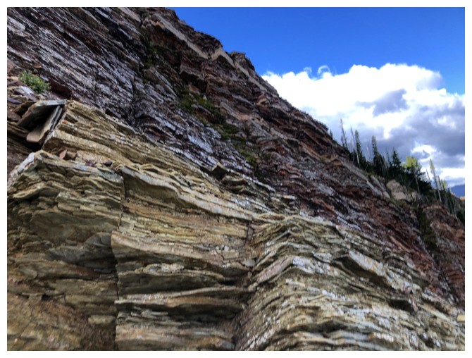
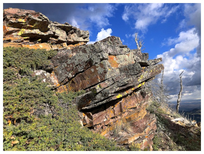
The band changes to red argillite
And other rock types
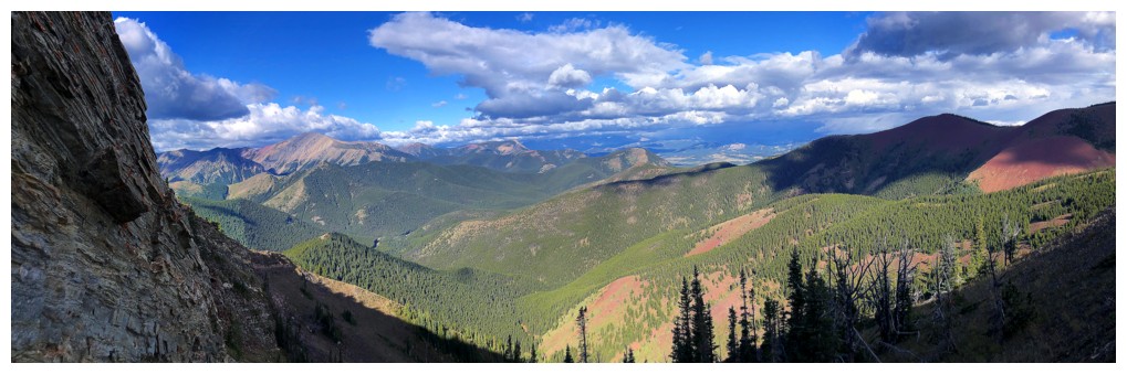
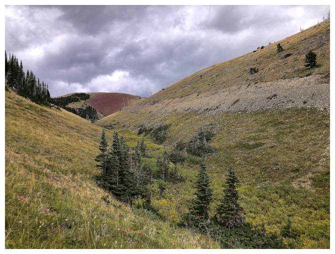
Back on the ridge and now heading towards the bump in the middle that we call Prairie Storm
Prairie Storm looked like a shoo-in from here
At this point, I even considered making taking a stab at Victoria Peak
Descending to the col
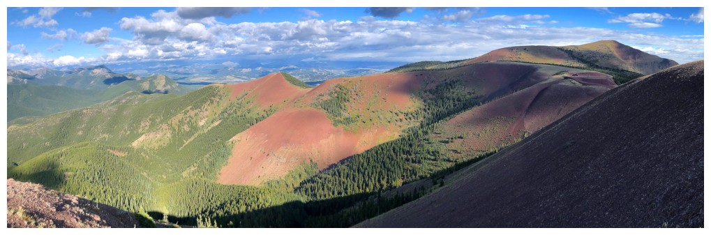
Sweet view of Victoria
Nice colours at the left
Nearing the col
Ominous clouds and blue sky
Although it doesn't like awful here, the weather was changing rapidly
and bad things were imminent. I bailed here and made my way back to the
road up above.
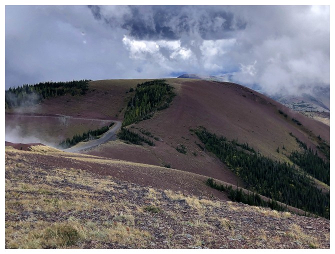
On the Road Again
Here come those bad things
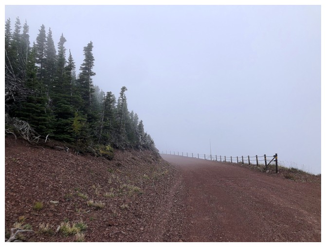
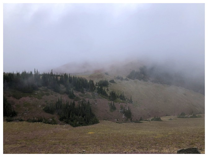
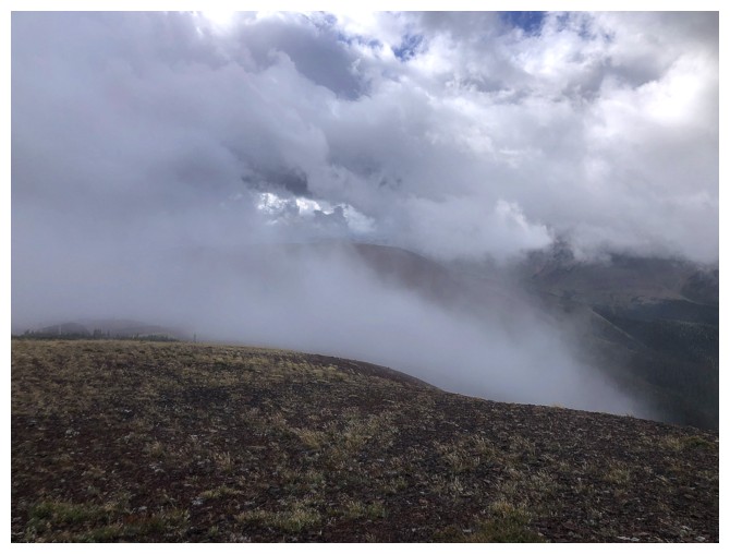
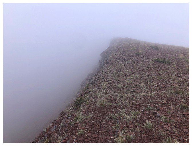
Suddenly it's a whiteout
Eerie hiking conditions
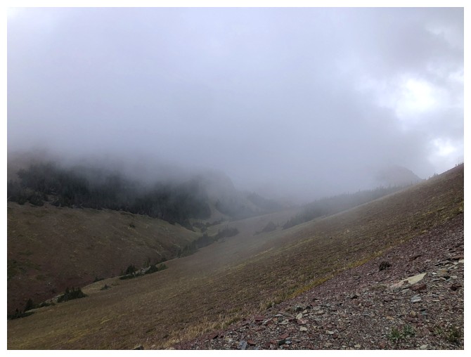
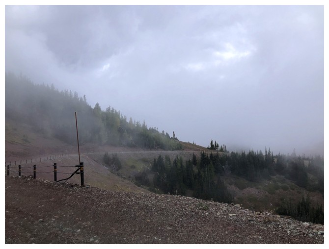
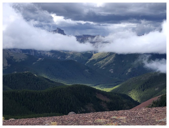
Thought the clouds might lift
But they didn't
They did get worse
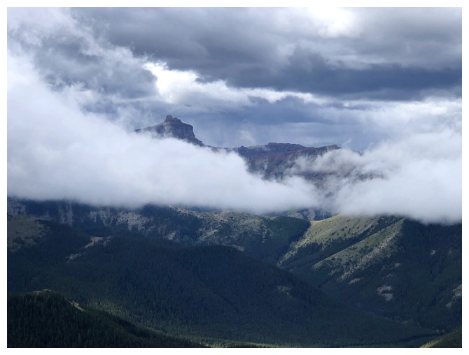
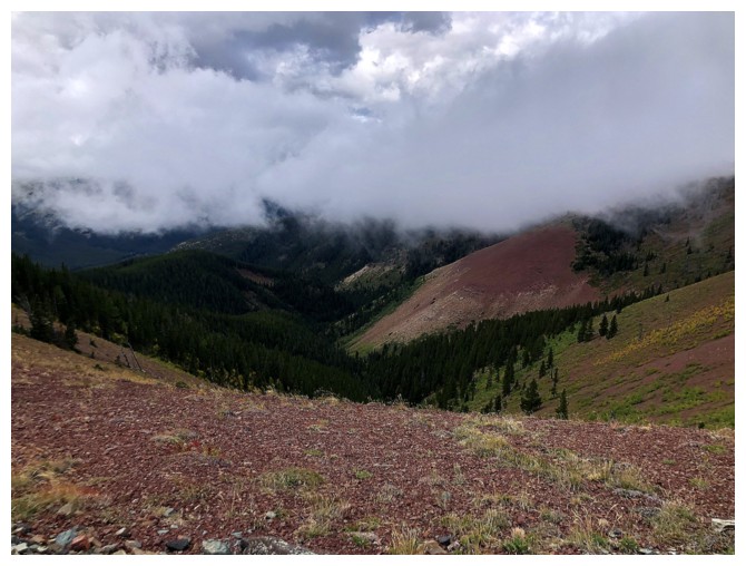
Castle Peak makes an auspicious apearance
Looking back but not optimistic
That's why
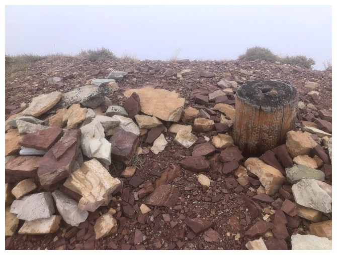
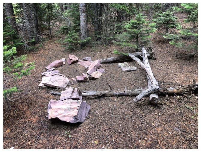
The summit cairn and stump
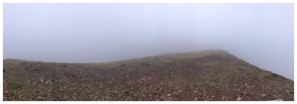
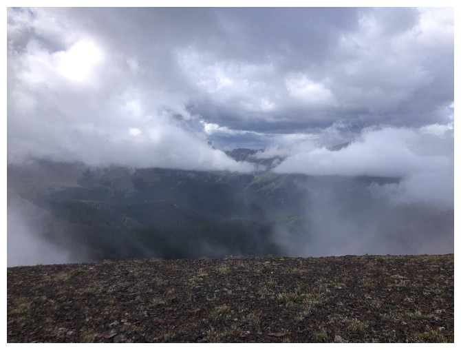
The summit view
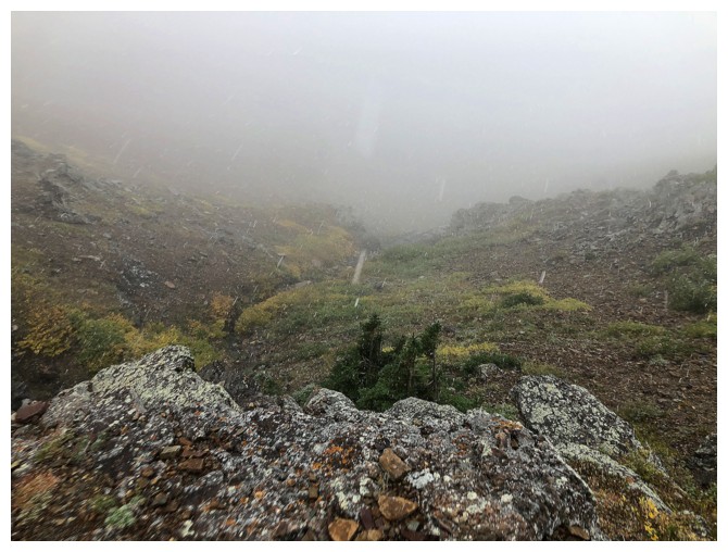
Bombing down the mountain in a snowstorm
Looking back towards the summit
The End
LOG