Ruby Creek
exploration
October 17, 2024
Highpoint: 2500 m
Elevation gain: 700 m
Ascent time: 2:35
Descent time: 2:45
Solo scramble.
Desperate to
get out after several weeks away from the mountains, I spent the first part of
the day driving up and down the Red Rock Canyon road in the pouring rain,
trying to pick an objective. 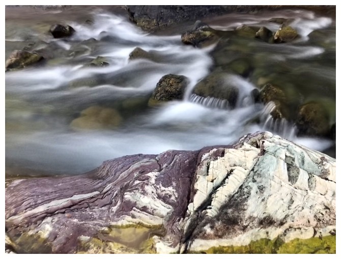 Eventually, an exploratory trip up Ruby Creek was
chosen. I had no intentions of trying to get all the way to Ruby Lake – after
Ruby Ridge VII, and a bear attack on Ruby Ridge earlier in the year, a degree of
trepidation seems to rear its head when I think of that lake. I will visit Ruby
Lake someday, but it will probably be a group affair.
Eventually, an exploratory trip up Ruby Creek was
chosen. I had no intentions of trying to get all the way to Ruby Lake – after
Ruby Ridge VII, and a bear attack on Ruby Ridge earlier in the year, a degree of
trepidation seems to rear its head when I think of that lake. I will visit Ruby
Lake someday, but it will probably be a group affair.
However, the
ridge on the right side of the creek, leading to the far northeast end of Mount
Blakiston looked pretty cool and quite doable to the certain height. 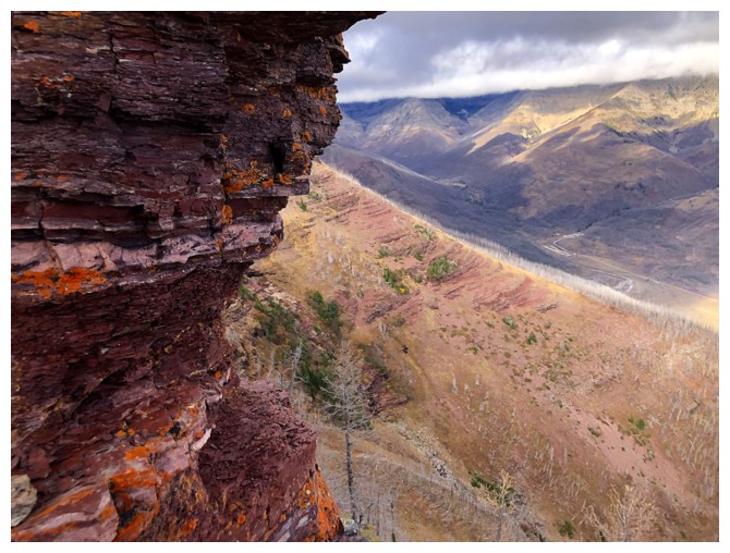 But first
I wanted to follow Ruby Creek as far as possible and hopefully get a few good
long exposure photos, even with the creek’s low flow. After crossing Blakiston
Creek, I did just that before heading up and to the right towards the ridge.
But first
I wanted to follow Ruby Creek as far as possible and hopefully get a few good
long exposure photos, even with the creek’s low flow. After crossing Blakiston
Creek, I did just that before heading up and to the right towards the ridge.
I was
pleasantly surprised to run into an excellent trail after gaining some
elevation – probably the one used by animals and humans to access Ruby Lake. When that trail veered off in the direction of
the lake, I continued following the ridge. Even with the cloudy conditions, views
were much better than expected, and higher up I even found some interesting scrambling
terrain.
And then I
spotted them! A black bear and cub on the slopes below. Thankfully they were
far below, and I was in no immediate danger of an encounter. However, that may
have been a different story had I been heading to Ruby Lake. Not wanting to “poke
the bears” (pun intended), I started down immediately, retracing my steps down
the ridge in an excessively noisy fashion!
No summit, but
a surprisingly rewarding day of exploration on new terrain.
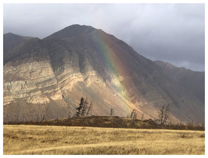
Rainbow in front of Bellevue Hill
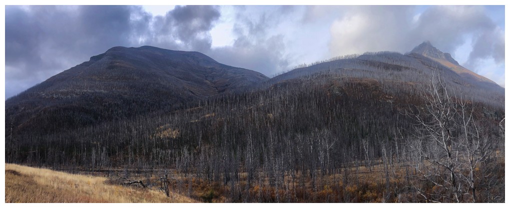
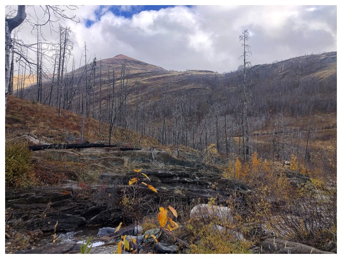
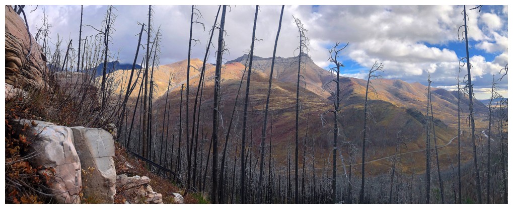
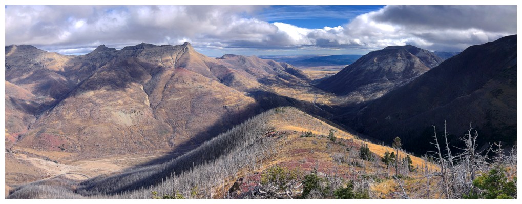
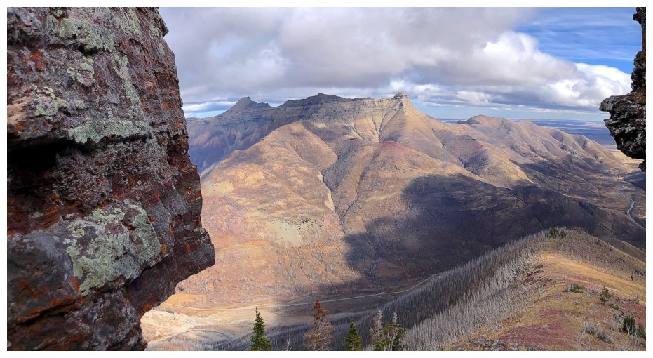
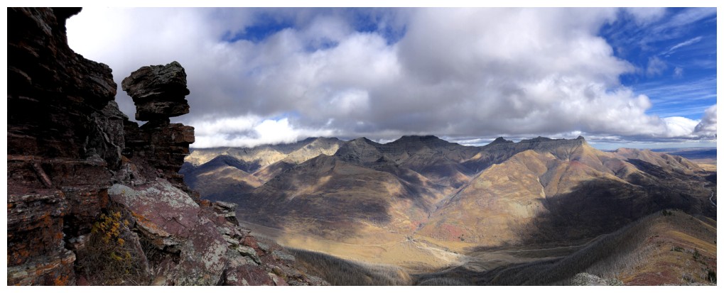
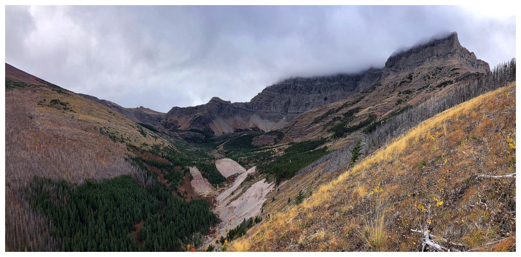
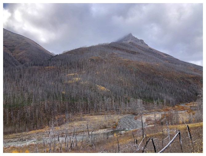
From near the start of the trip: Ruby Ridge (left) and the east ridge of Mount Blakiston. Ruby Creek goes between the two.
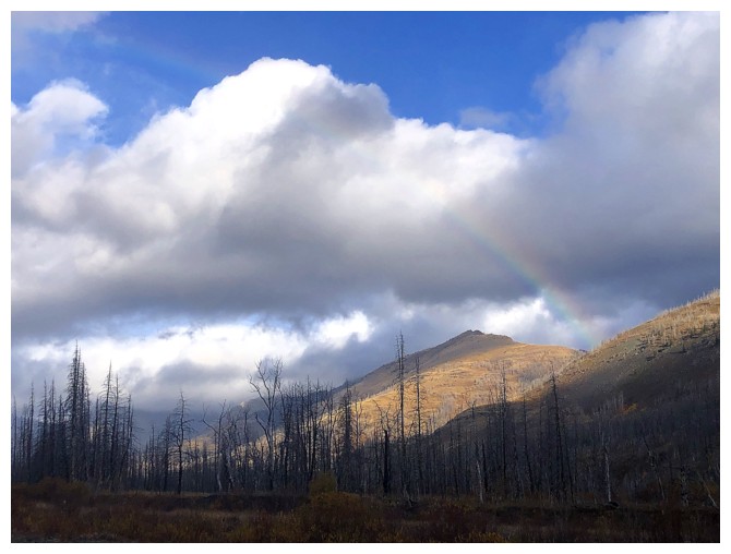
Another partial rainbow
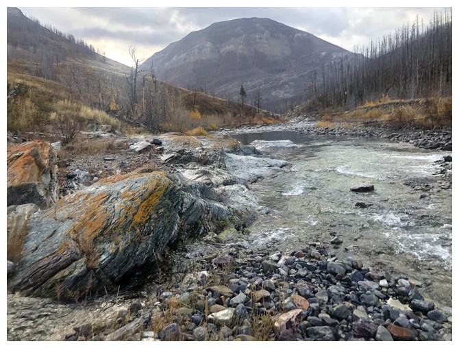
Mount Crandell backdrops Blakiston Creek
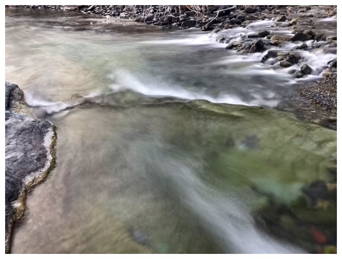
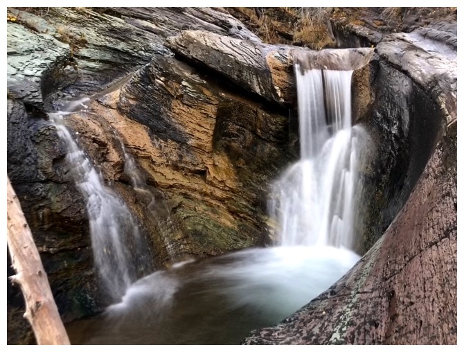
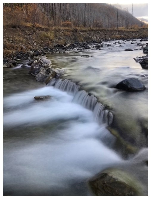
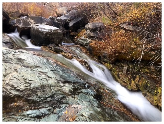
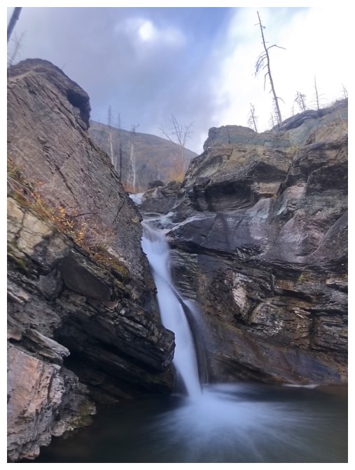
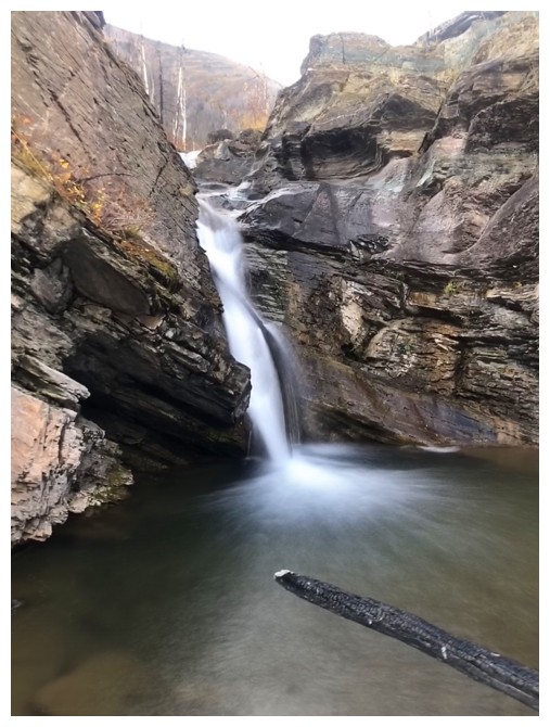
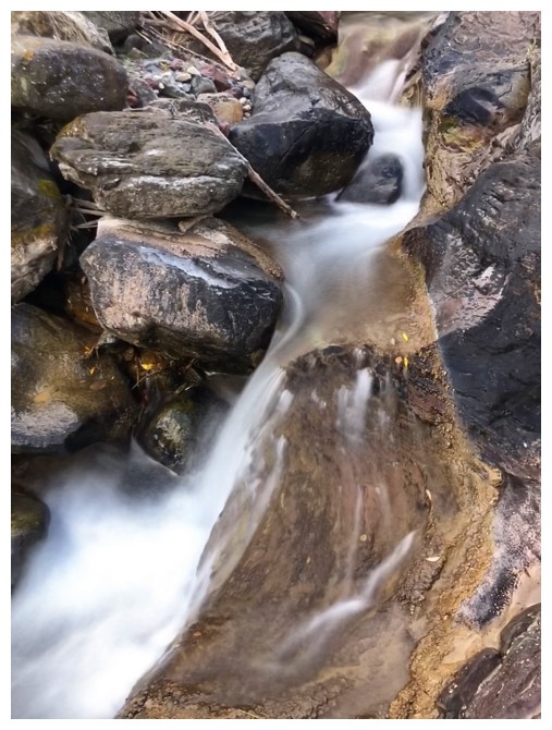
Blakiston Creek offers some long exposure photos too
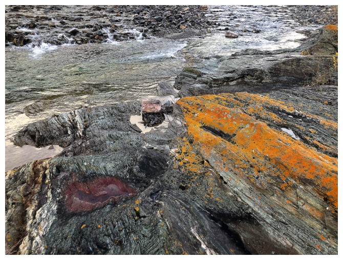
And some bright orange lichen
And some red argillite
Finding a place to cross. Hipwaders were used.
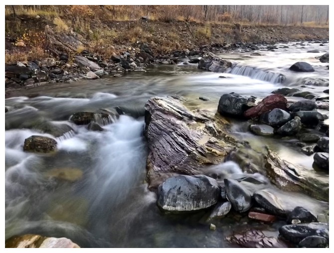
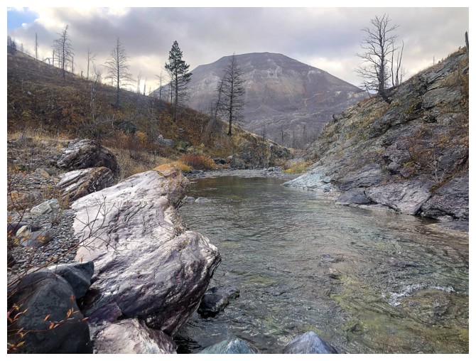
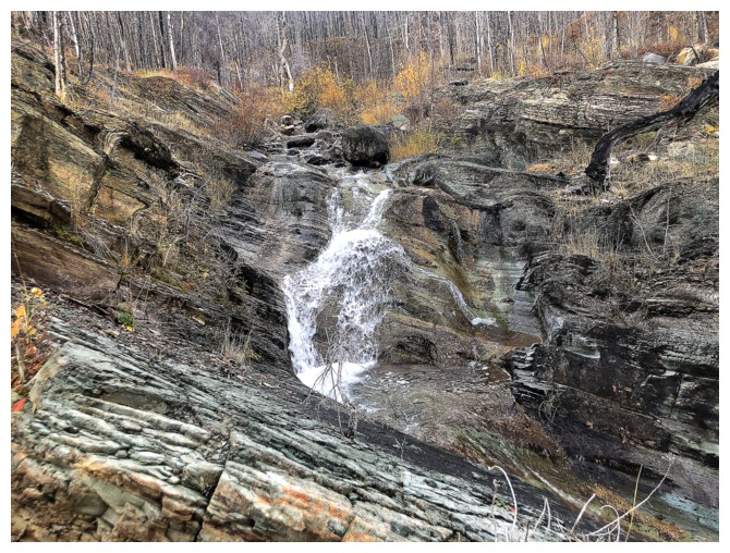
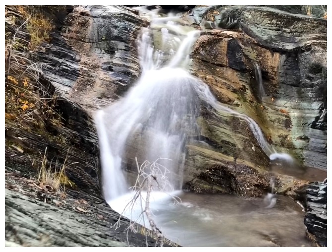
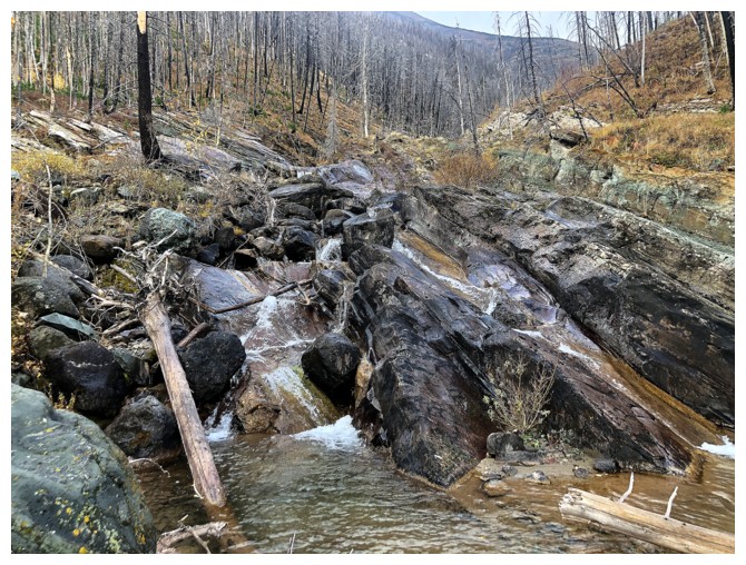
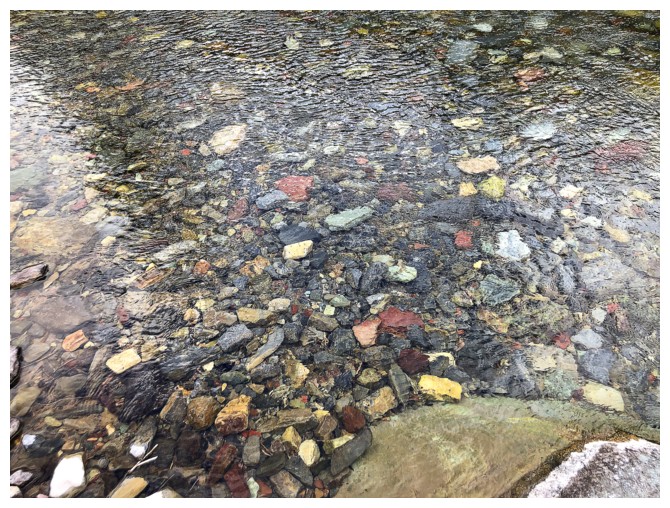
Ruby Creek is not running high at this time of the year
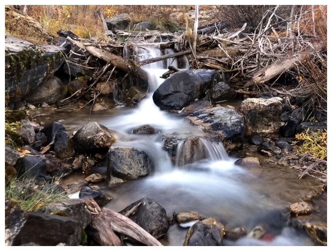
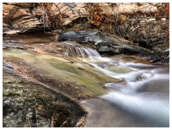
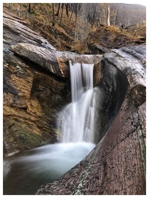
But it still has many scenic treasures
The lower slopes of Galwey North
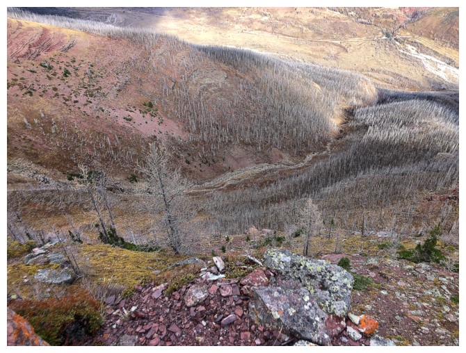
Leaving the creek
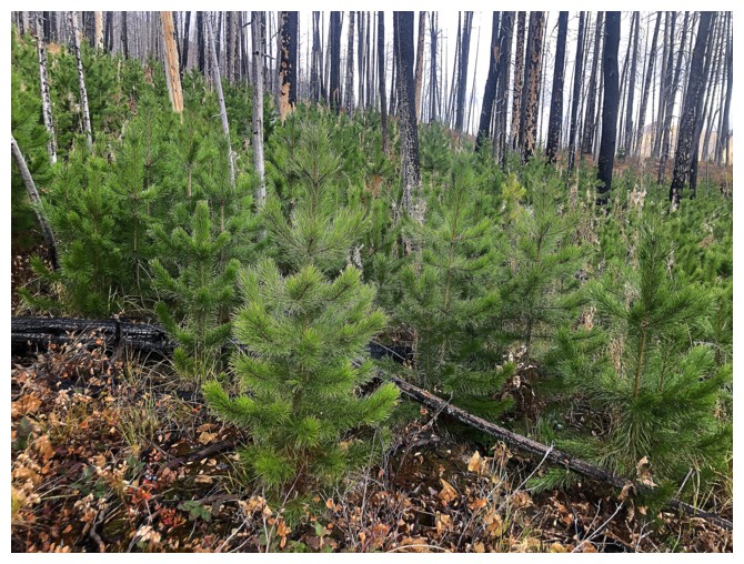
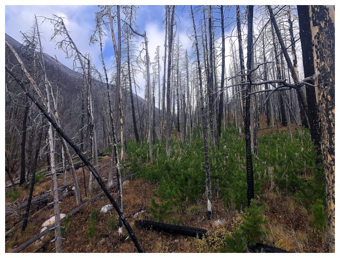
Tons of new growth on the ridge
The occasional sunny break to the east
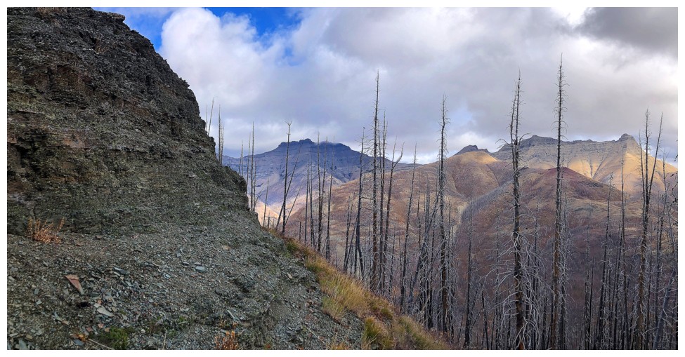
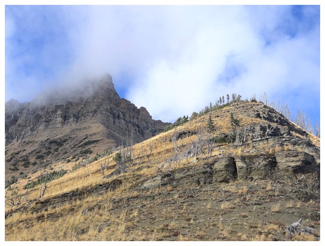
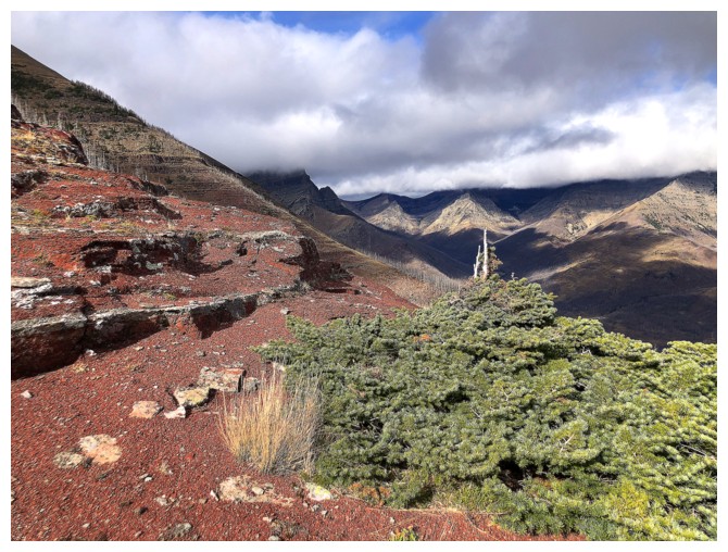
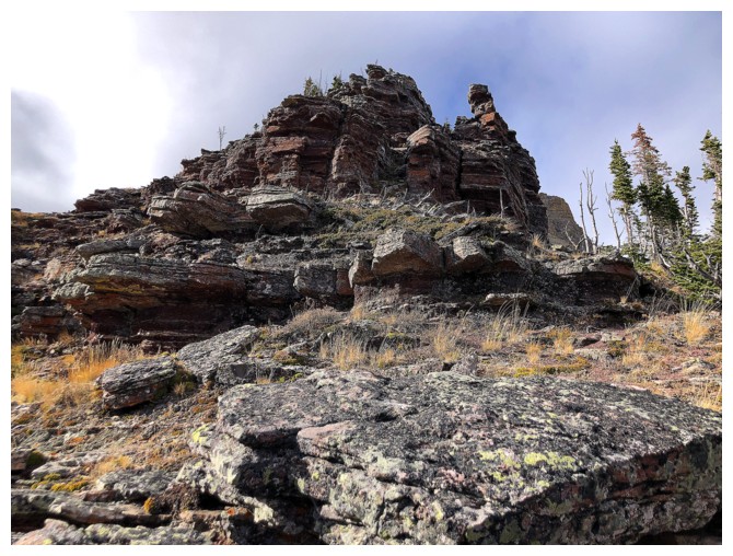
The forested ridge starts to get more rocky
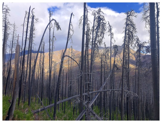
Sun on Mount Galwey and Galwey North
The weather to the west was cloudy throughout
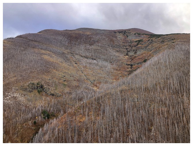
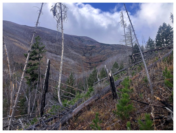
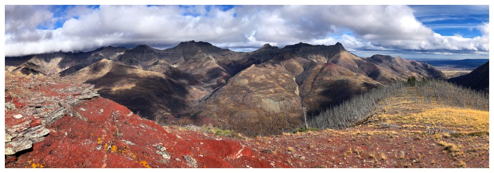
The north side of Ruby Ridge looks fairly straightforward to ascend
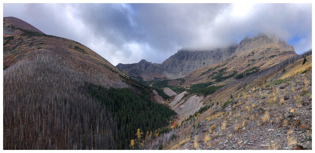
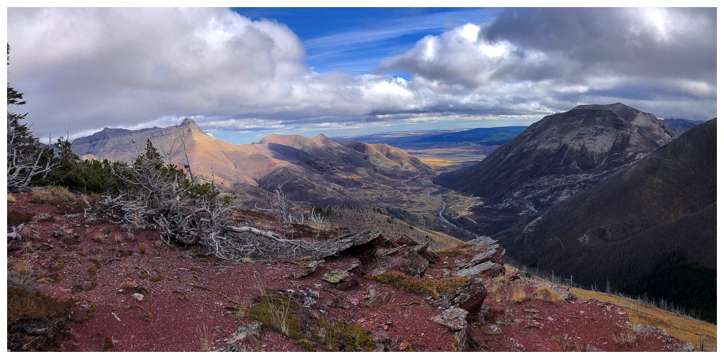
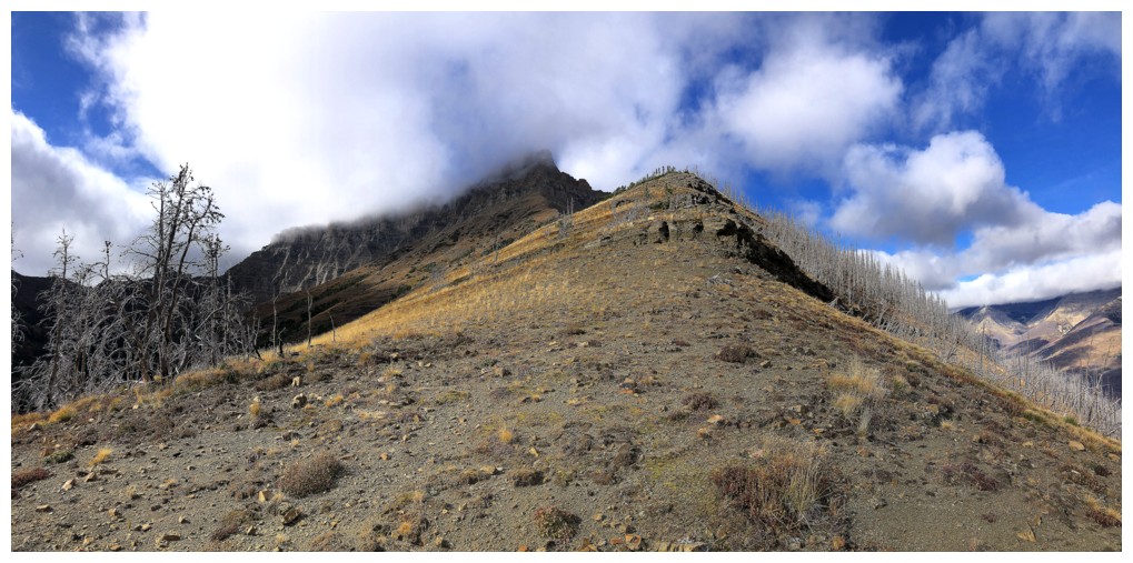
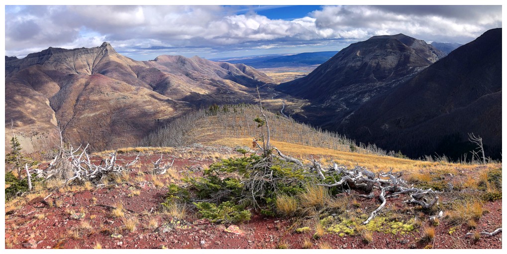
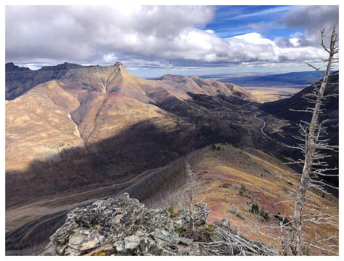
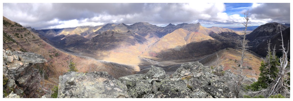
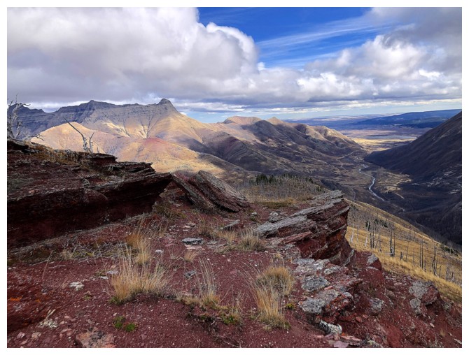
First decent view of Blakiston's east ridge (right) and the route to Ruby Lake in the centre
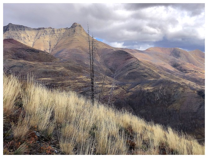
Autumn colours abound
Same as above in the other direction
Mount Dungarvan appears just left of centre
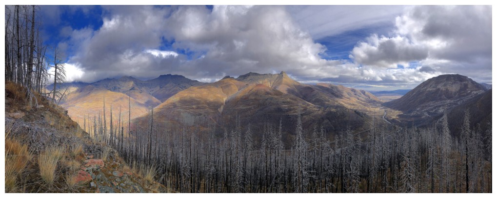
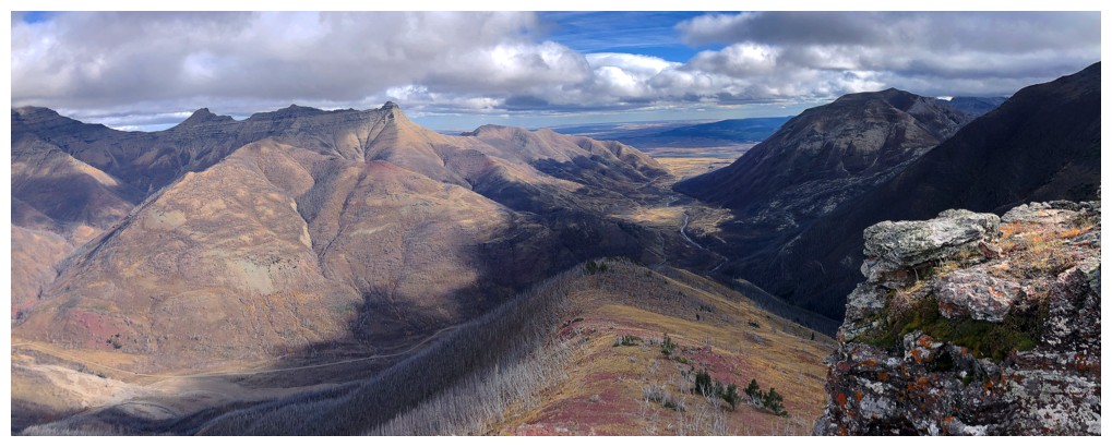
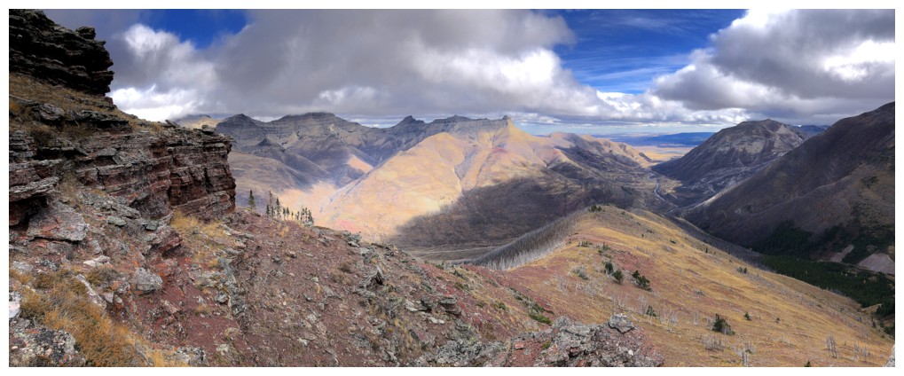
The views for the remainder of the trip are pretty much the same
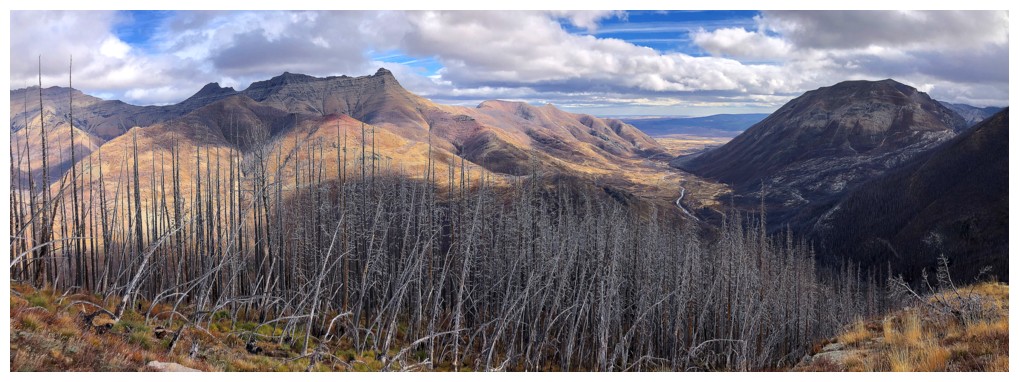
But that has never stopped me from including them all!
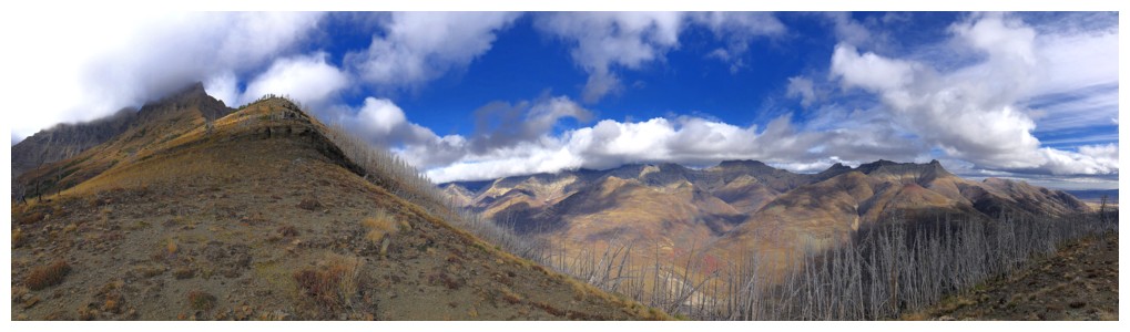
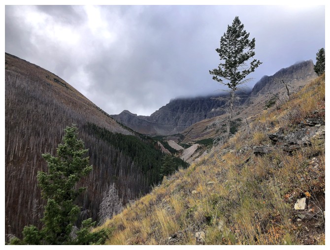
Hoped the skies would clear, but this was going to be as good as they got
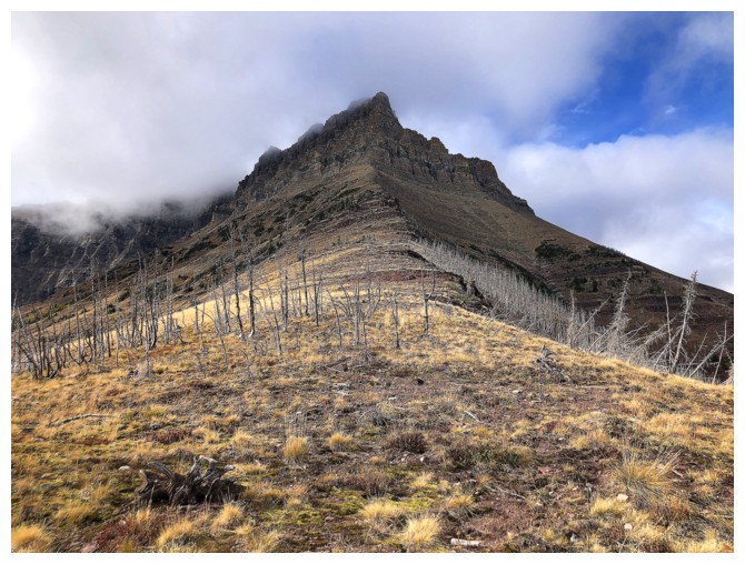
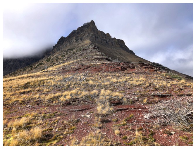
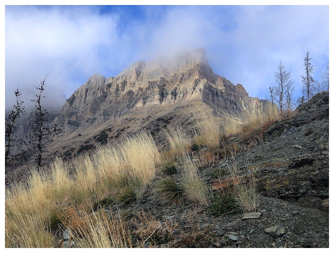
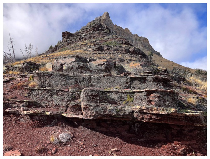
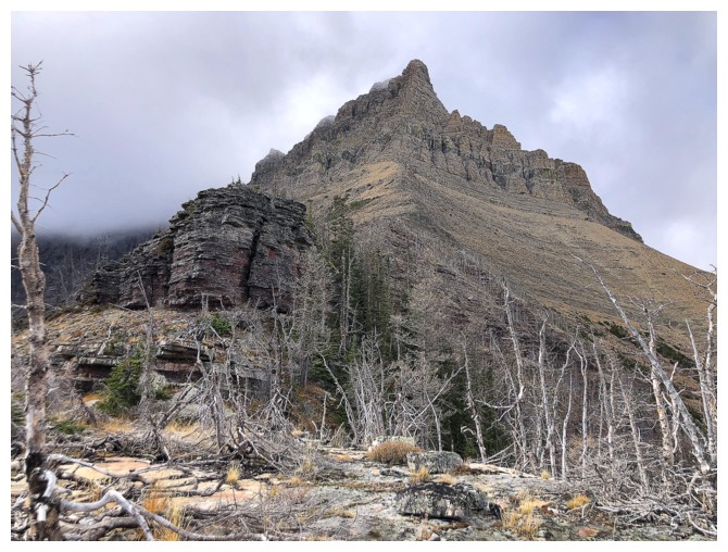
Obviously not getting up that, however you can get quite close to the base
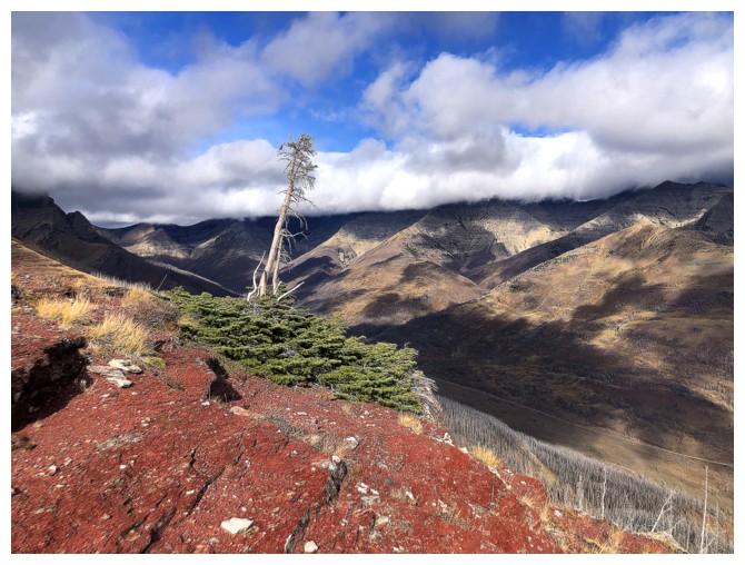
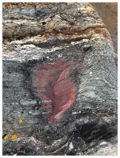
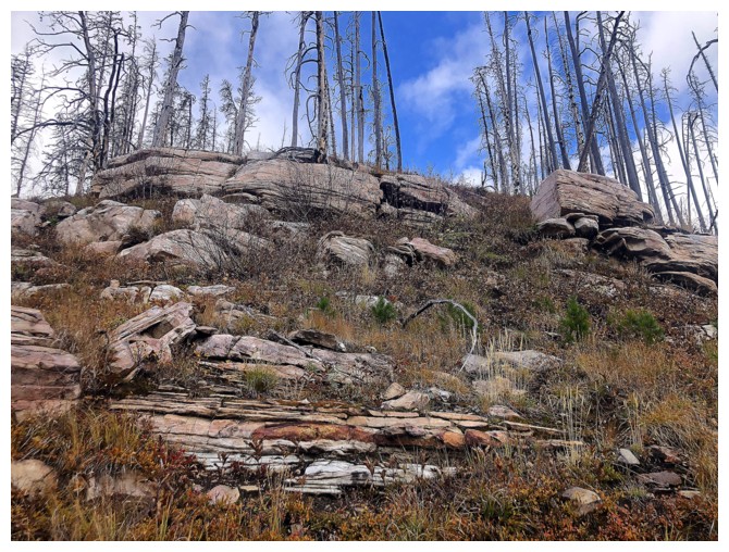
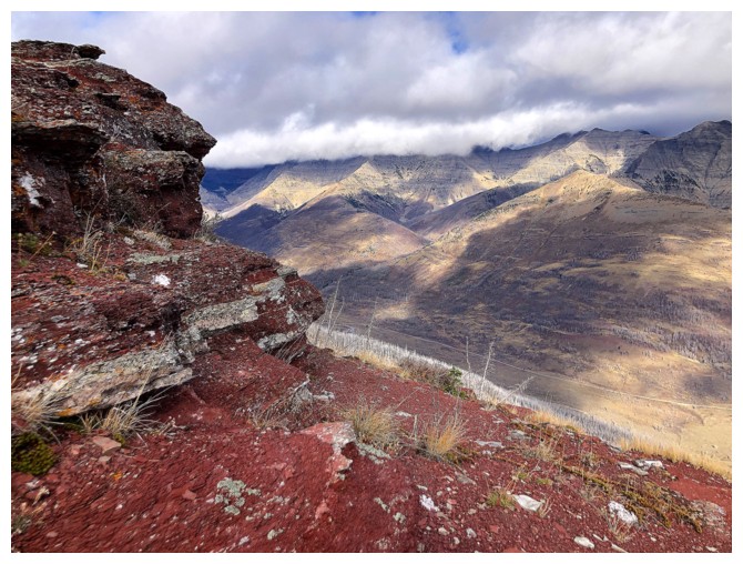
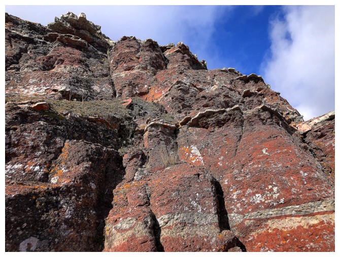
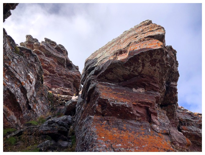
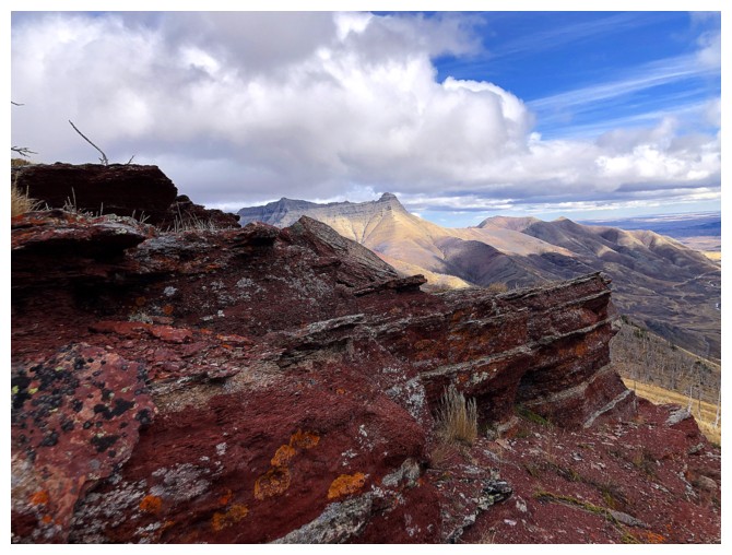
Happy to see some red rock
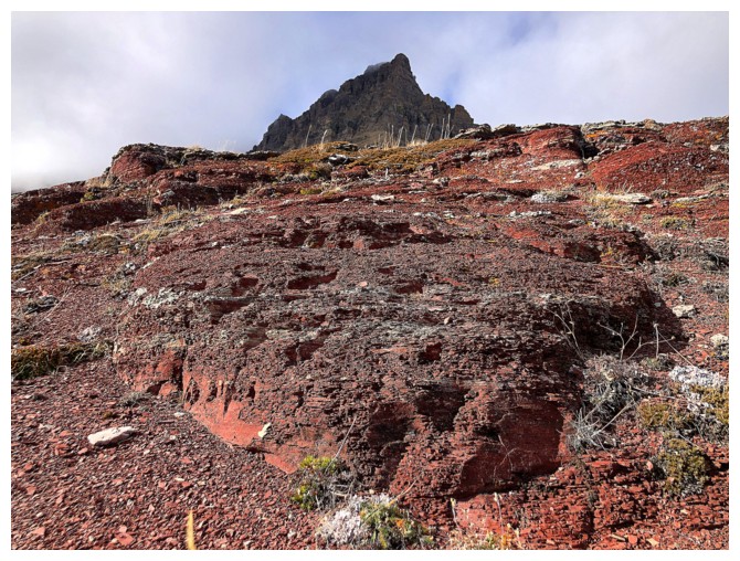
Red argillite makes everything better!
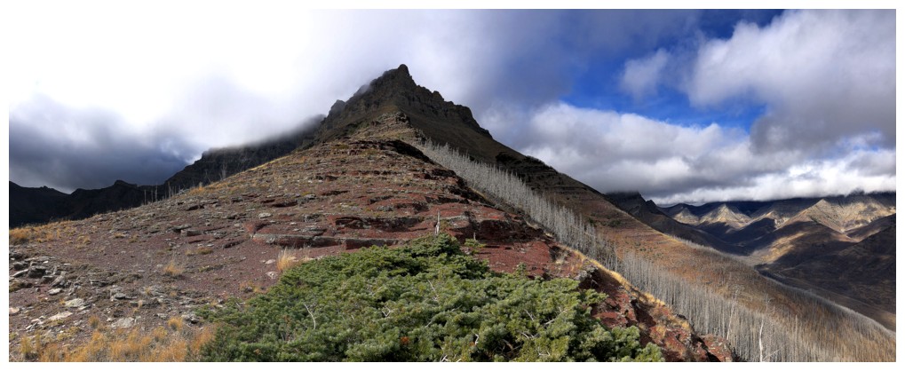
Still going up
...and up
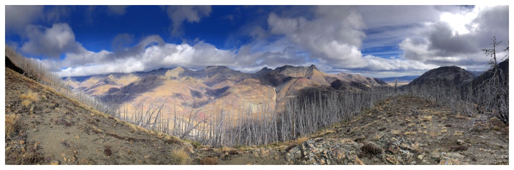
Even with the clouds, the view to the east was very satisfying
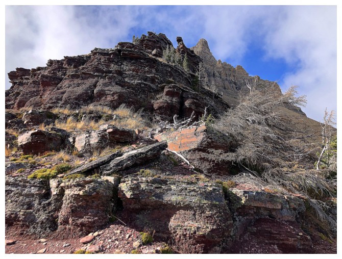
Bit of scrambling here
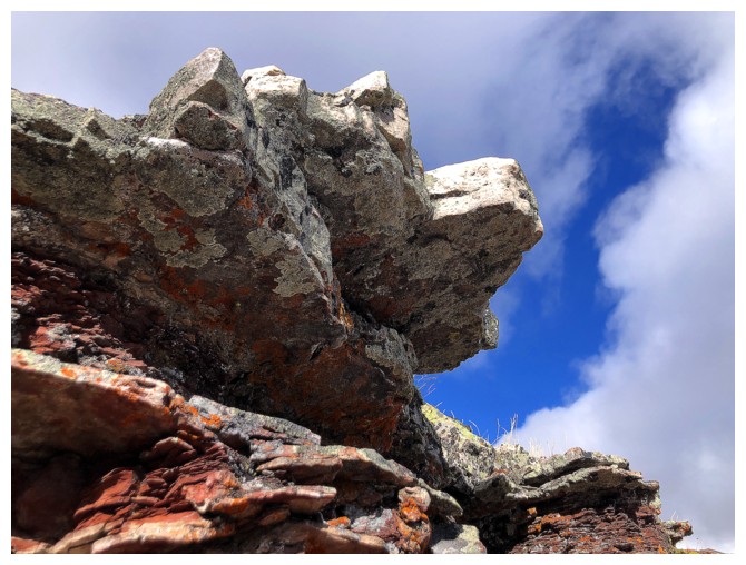
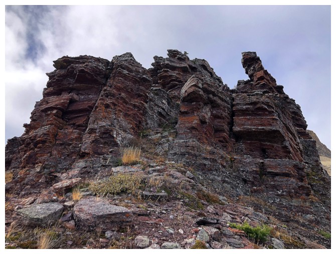
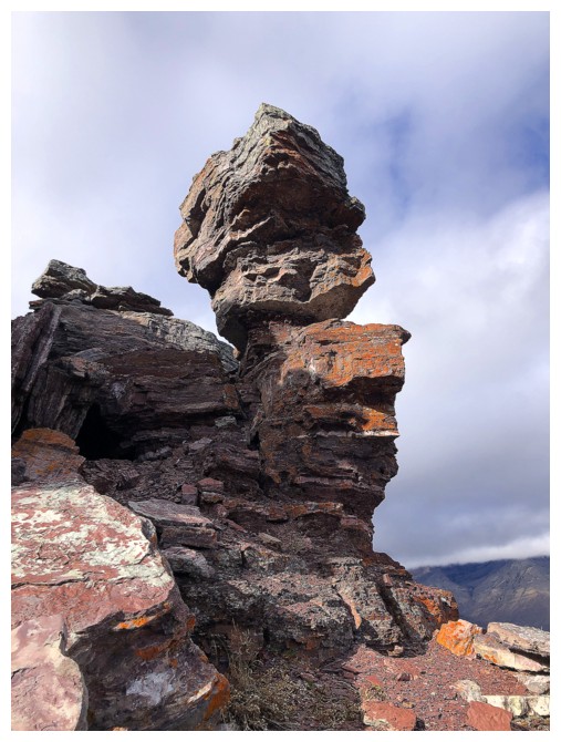
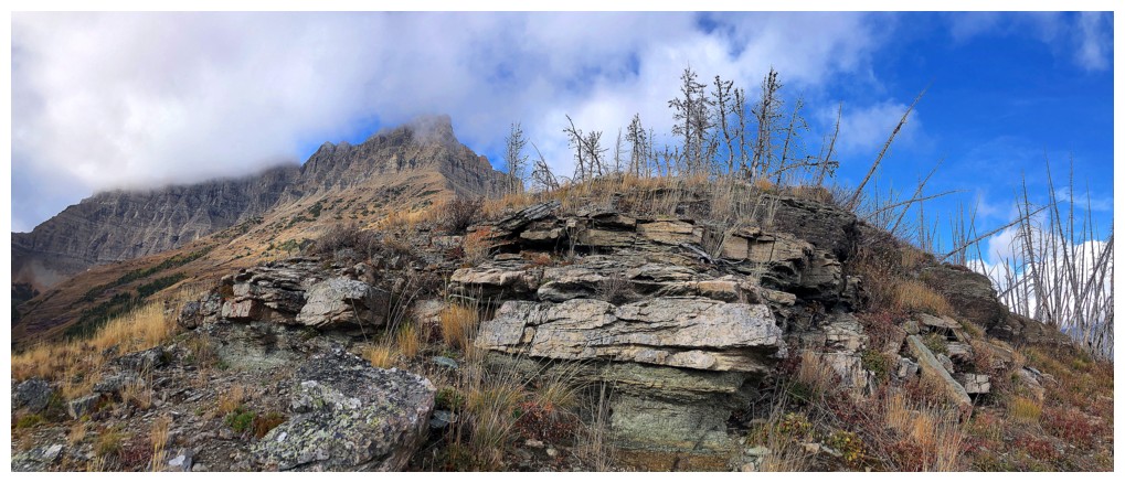
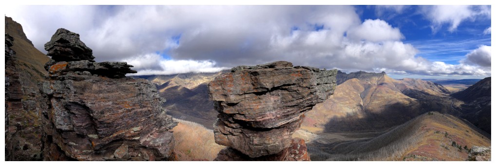
An easy path up the centre here led to some very cool rock scenery
Up we go
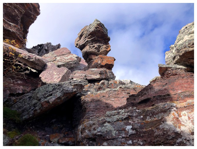
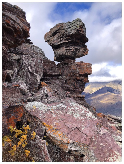
A similar pinnacle to The Mushroom on Mount Galwey
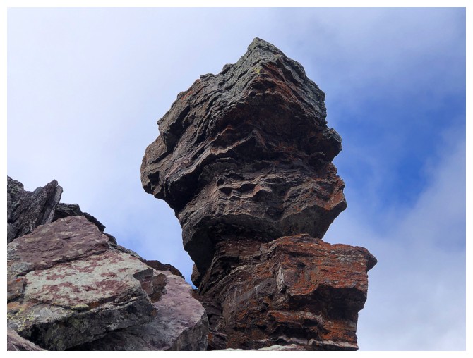
It also reminded of Happy Turk in Moab
Looking for different routes down
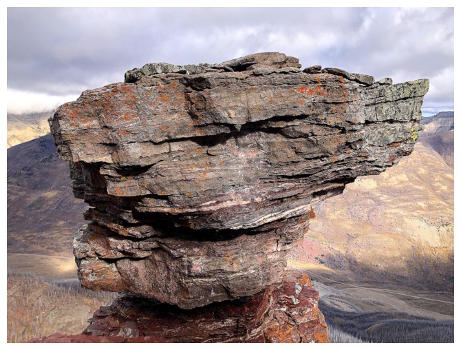
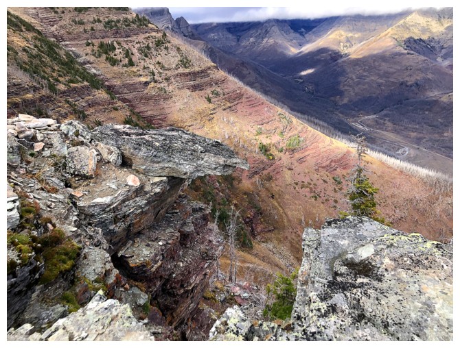
Top of The Mushroom wannabe
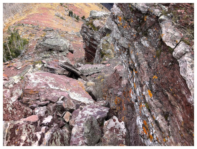
There are several deep fissures hiding under these slabs
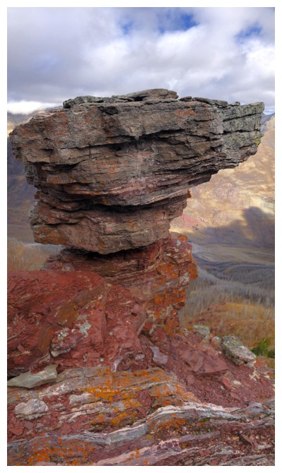
Got a bit obsessed with this rock formation, but that's nothing new
Last one!
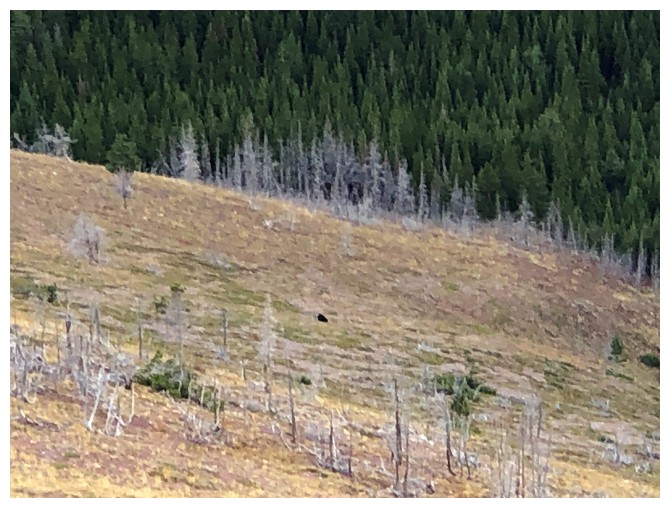
Bear sighting. A mum and her cub were foraging some distance below.
Started down immediately after seeing the bears
Still managed to stop for a few photos, while bombing down the ridge, screaming bloody murder!
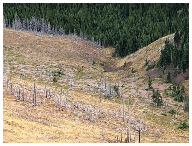
The bears are barely visible now and moving in the right direction; that is, away from me
It would take a ton of bears to prevent me from stopping at a red argillite sighting
Last look before I REALLY bomb down the slopes
Back at Blakiston Creek, sometime later
Parting look at the route
The End
LOG